last edited Dec 11, 2019
Introducing Hauts-de-France
Location Map of Hauts-de-France
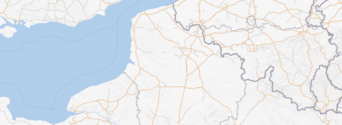 Hauts-de-France
Open the interactive map
Hauts-de-France
Open the interactive map
Overview
Key facts
- Type of place: tourist region.
- Location: at the far north of France, bordering Belgium.
- Local time:
- Administrative region: Hauts-de-France (prefecture: Lille).
- Departments: Aisne (02), Nord (59), Oise (60), Pas-de-Calais (62) and Somme (80).
- Main cities: Amiens, Beauvais, Calais, Dunkirk, Lille, Roubaix, Saint-Quentin, Valenciennes...
- Population: 5,988,000 inhabitants (2013).
- Area: 31,813 km².
- Density: 188 inhabitants/km².
- Highest point:
- Lowest point: Les Moëres (-4 m) in the Nord department.
- Coastline: 170 km.
Tourism
What was not so long ago known as the Picardy and Nord-Pas de Calais regions is not necessarily synonymous with a "holiday destination" for many. However, the area is far from lacking in charm, especially when you reach the coastline, which stretches from Bay of Somme to Opal Coast and has plenty to offer. Add to that dynamic cities like Amiens and Lille, as well as everything related to "memory tourism," and Hauts-de-France is well worth a visit.
Where to get information?
Departmental Tourism Committees
Travel essentials
- Backpacker daily budget:
- Best for accommodation:
- Best for getting around:
- Best time for climate/crowds/prices:
- Highlights (out of ): Nature / ; Culture ; Relaxation-holidays
- Website: