last edited Jul 28, 2020
Overview of Gran Canaria
Location Map of Gran Canaria
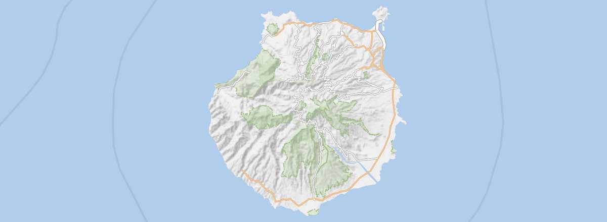 Gran Canaria
Open the interactive map
Gran Canaria
Open the interactive map
Overview of Gran Canaria
After Tenerife, it is the most populous island in the Canaries. It offers a wide variety of landscapes, though they are not necessarily the most spectacular. It is home to the provincial capital of Las Palmas (which is also the co-capital of the autonomous community of the Canary Islands) as well as the archipelago's main tourist area with Maspalomas. Its economy is largely dependent on tourism. This sector has developed along the east coast and in the south, thanks to the flat terrain, unlike the west coast, where the rugged and rocky shoreline has not allowed for the creation of beach resorts.
Key Facts
- Type of place: main island.
- Location: at the heart of the Canary Islands, between Tenerife and Fuerteventura.
- Latitude/longitude: 27.58' N, 15.36' W.
- "Capital": Las Palmas de Gran Canaria.
- Population: 850,400 inhabitants (2011).
- Area: 1,560 km².
- Density: 545 inhabitants/km².
- Highest point: Pozo de las Nieves (1,949 m).
- Lowest point: sea level.
- Local time: .
- Tourist interest: (worth seeing).
- Website: http://www.grancanaria.com
History and Culture of Gran Canaria
Climate and Weather of Gran Canaria
While the weather is generally pleasant, Gran Canaria is known for its microclimates. Note that it can get quite cool in the mountainous inland areas, and, as is often the case, the southern coast is warmer and sunnier than the north.
Sea Temperature Throughout the Year
| Jan. | Feb. | Mar. | Apr. | May | Jun. | Jul. | Aug. | Sep. | Oct. | Nov. | Dec. | |
|---|---|---|---|---|---|---|---|---|---|---|---|---|
| Gran Canaria | 19 | 18 | 18 | 19 | 19 | 20 | 21 | 22 | 23 | 22 | 21 | 19 |