
Drumheller: Dinos, Hoodoos & Badlands Interpretive Trail
Join us as we explore the iconic landscapes of Drumheller, the world’s dinosaur capital.
We start with the gigantic World’s Largest Dinosaur before heading out on the legendary Drumheller Hoodoos Trail.
Then, we make our way to Midland Provincial Park, where we hike the Badlands Interpretive Trail—a 1.6 km loop featuring ravines, hoodoos, geological strata, and desert-like formations that create a spectacular backdrop.
A journey blending geology, natural history, and exploration in Alberta’s badlands.
🦖 World’s Largest Dinosaur – 51.46731, -112.70907
A must-stop in Drumheller: the massive 26-meter-tall Tyrannosaurus Rex.
From the observation platform in its mouth, you get a panoramic view of the Red Deer River Valley.
Around the World’s Largest Dinosaur, the vibe is even more playful thanks to the colorful dinosaur sculptures decorating the area.
A perfect contrast to the towering T-Rex that dominates the town.
🏠🏜️ Drumheller Hoodoos Trail – 51.38053, -112.53454
The Drumheller Hoodoos are one of the most iconic landscapes in Alberta’s badlands.
The trail winds through an almost surreal setting, where sandstone columns sculpted by thousands of years of erosion stand like frozen silhouettes in time.
The ground, striped in ochre, brown, and orange hues, reveals the different sedimentary layers deposited over geological eras.
Around the hoodoos, the landscape opens up to undulating ravines, desert buttes, and rock formations with strange shapes, creating an almost lunar atmosphere.
Walking the Hoodoos Trail, you feel the power of the wind and time that shaped these fragile pillars.
Every step reveals a new perspective, a new relief, a new geological story.
This raw, silent landscape, carved by nature, gives the trail a mystical and timeless feel.
🏞️ Midland Provincial Park
The Badlands Interpretive Trail, a 1.6 km loop, lies at the heart of Midland Provincial Park—a signature area of Alberta’s badlands, where erosion has sculpted a rugged, arid, and breathtaking landscape.
This trail highlights the region’s geological history while offering a full immersion into Drumheller’s typical desert-like terrain.
The route crosses deep ravines, multicolored sedimentary strata, rounded buttes, and rock formations shaped by millions of years of wind and water.
The cracked, ochre-tinted ground reveals exposed geological layers like the pages of an open book about the past.
As you walk, you’ll discover constantly changing vistas: narrow valleys, desert plateaus, unique rock textures, and perfect viewpoints to capture the essence of the badlands.
51.48009, -112.78844 Trailhead
51.48162, -112.78615 Midpoint
51.48037, -112.78487 Landmark
The Royal Tyrrell Museum (51.47929, -112.79022), also located in this park, is a must-visit for dinosaur and paleontology enthusiasts.
This world-renowned museum features an exceptional collection of fossils, complete skeletons, and immersive exhibits that tell the story of life on Earth.
You’ll find spectacular galleries, life-sized reconstructions, and interactive spaces that make the visit engaging for both adults and families.
https://youtu.be/T-Pw1CUn5xY

In the summer of 2026, we packed our backpacks again to wander around Jotunheimen National Park in Norway.
We’d never heard of this park just a few months earlier—it was through browsing online threads that we discovered it.
Touted as the most mountainous park in the country, it really caught our eye after scrapping our original plan further north.
Unfortunately, it’s also the most crowded, which immediately made us less enthusiastic! The presence of the highest peak in the Scandinavian Alps and the "famous" Bessengen ridge (famous because it’s clearly well-known across the country) probably has a lot to do with that.
After managing to avoid the crowds on the Kungsleden trails by camping away from the huts and timing our hike to miss the biggest groups of walkers, we figured we had the formula down and gave in to the call of the Norwegian mountains.
It’s the most mountainous, but also quite challenging in terms of progress, as we’d soon find out during the trek. And with uncooperative weather, we got the winning combo of a demanding trek. But I’m getting ahead of myself...
For the end of the trip, we planned a few days in Dovrefjell National Park—since these two parks are easily connected by public transport—to see something different and (most importantly) to try and spot the musk oxen that live there.
Tue 04/08 - Arrival in Oslo Wed 05/08 - Bygdin – Torfinsbu Thu 06/08 - Torfinsbu - Gjendebu Fri 07/08 - Gjendebu - Fondsbu Sat 08/08 - Round trip to Slotafjellet Sun 09/08 - Round trip to Lake Kvitevatnet Mon 10/08 - Fondsbu - Gjendebu Tue 11/08 - Gjendebu - Before the Bessengen ridge Wed 12/08 - Bessengen ridge – Maurvangen campsite Thu 13/08 - Knutshoe ridge Fri 14/08 - Bus transfer to Spiterstulen hut via Lom Sat 15/08 - Round trip to Galdhøppigen
Coming soon: Dovrefjell




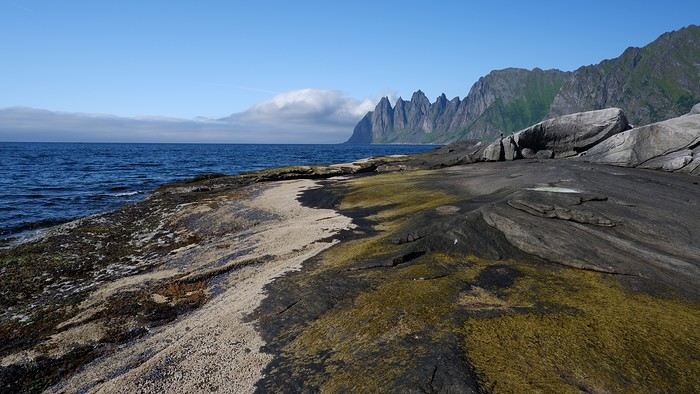










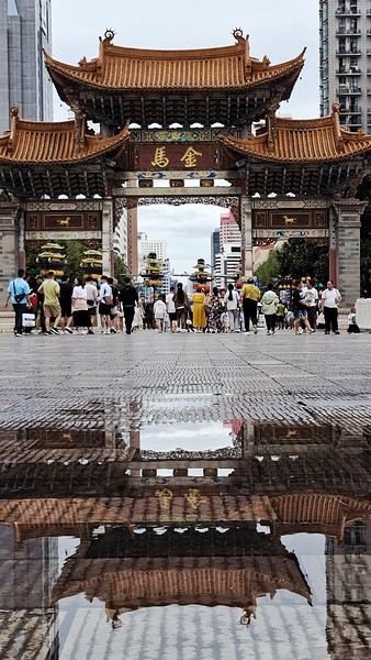
 When it comes to the Caribbean island of Saint-Martin, it's customary to praise its coastline and dreamy beaches—and they certainly deserve it.
But in this story, I’d like to highlight other memories, aspects, and impressions for a slightly different change of scenery.
Enjoy the read—some text and, above all, lots of photos.
« Byenveni sou zile Sen Maten! » (Welcome to the island of Saint-Martin)
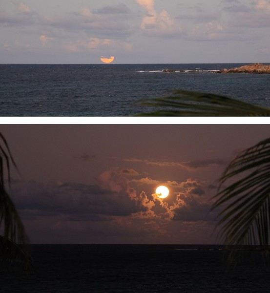
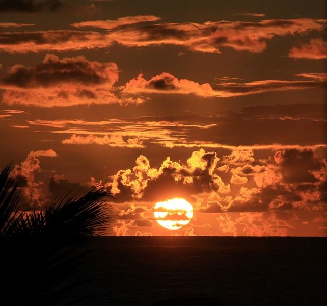
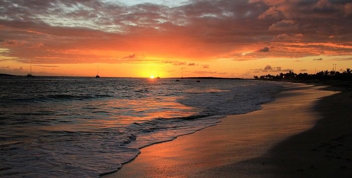
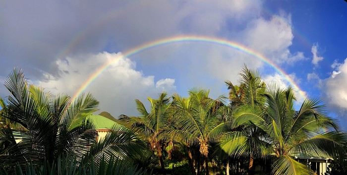

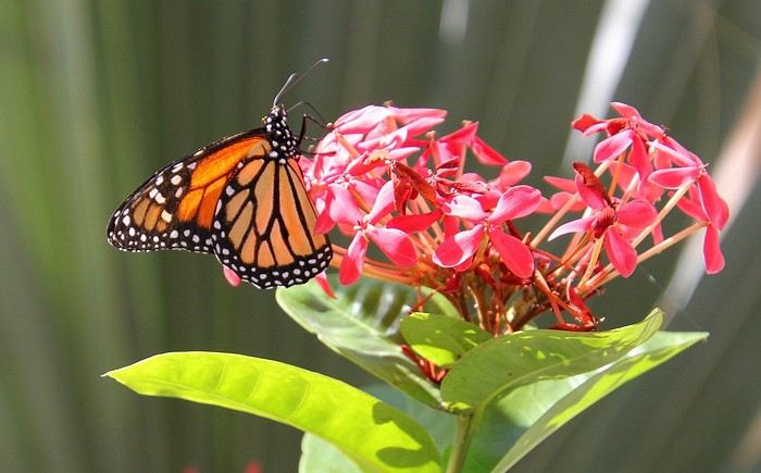
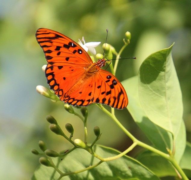

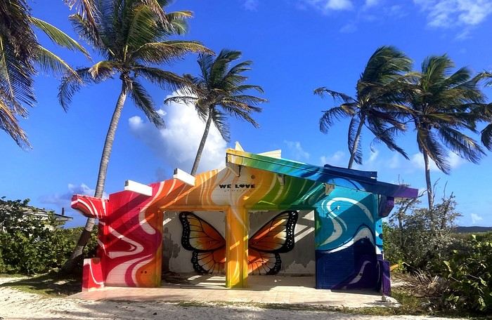

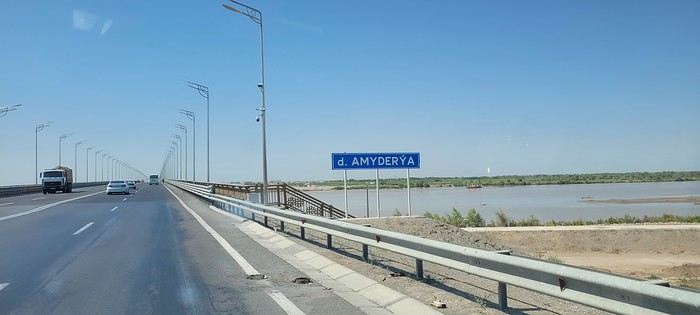
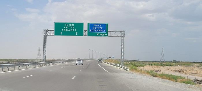

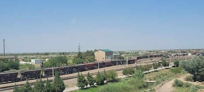


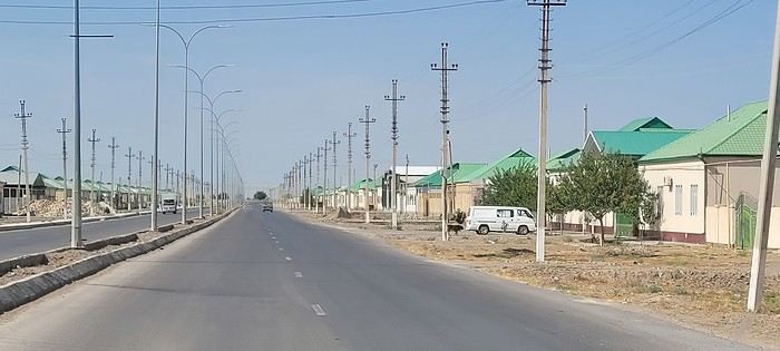 Roundabouts are particularly interesting because they feature emblems of Turkmen culture, like the dog, a carpet, the Ahal Teke horse, or Muslim symbols, even though the presence of Islamic artifacts is quite limited.




 Come along, I'm taking you to this country where it's so nice to wander and slow down...

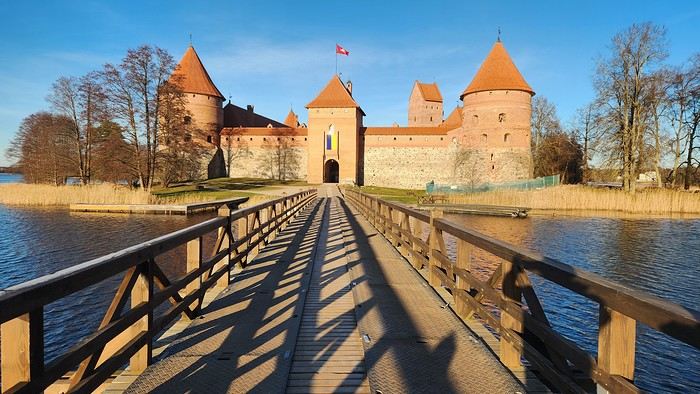
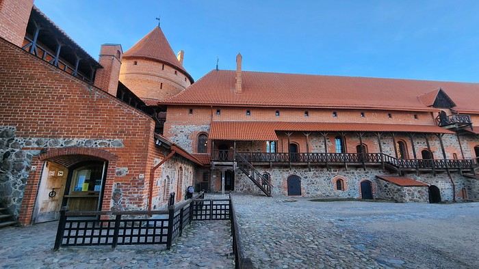


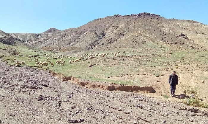
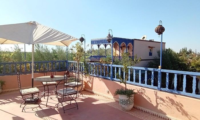
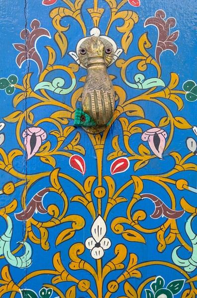
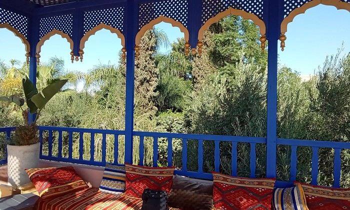 Last October, we landed in Marrakech to spend a few days with family exploring Morocco’s roads.
Transport: a rented Dacia.
Accommodations: small guesthouses.
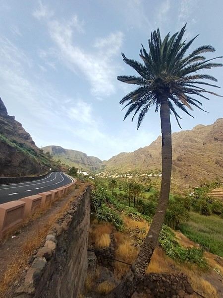
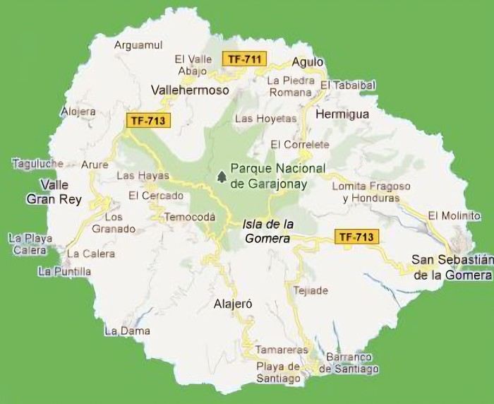 The large solidified magma massifs that shape the heart of the island have created a large depression more protected from the sun at its center, allowing the growth of a vast laurel forest, today grouped within the Garajonay National Park, La Gomera’s green lung, which has earned it the status of a World Biosphere Reserve. Its completely European appearance contrasts sharply with the rocky and tropical landscapes of the rest of the island. Thus, the climate varies greatly from one point to another on the island: in summer, you can quickly go from a dry and sunny valley at 35°C to a humid forest area at altitude at 18°C.
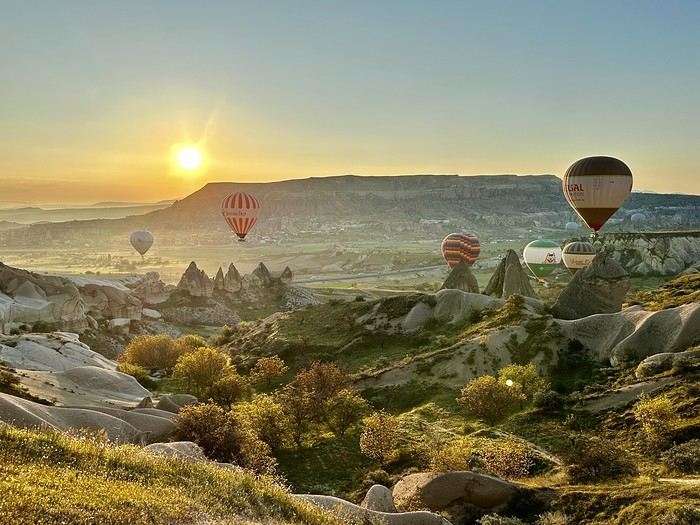 A little sneak peek?
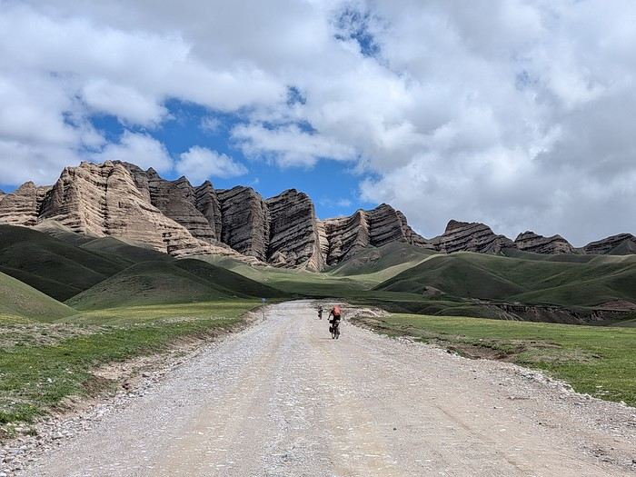
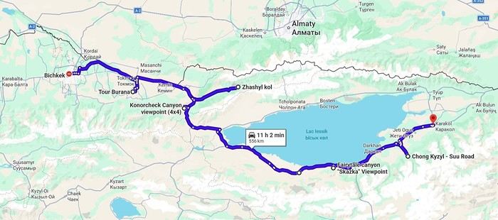
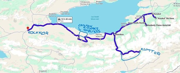
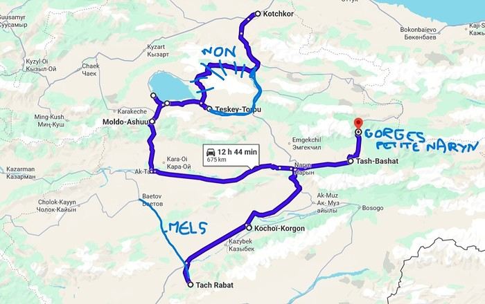
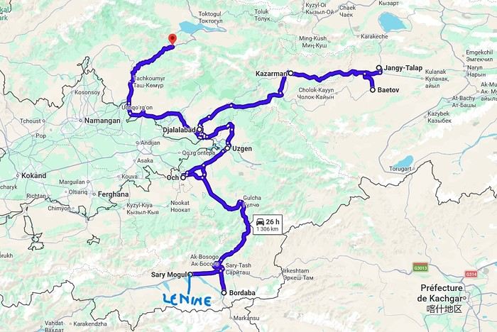
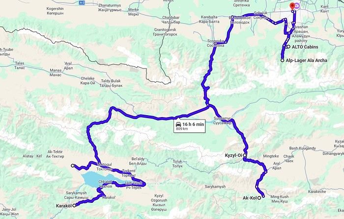



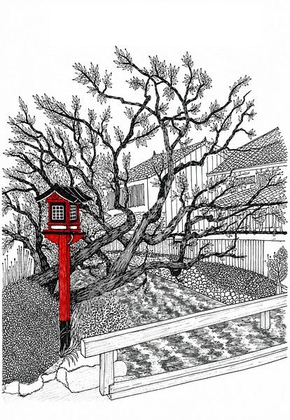 I’m inviting you on a stroll through my drawings—a completely subjective, far from exhaustive, and totally personal take, since it’s based on my own sketches. I put this travel journal together after returning in late 2024, mostly using felt-tip pens and pencils, with a few collages thrown in. I worked from our personal photos.

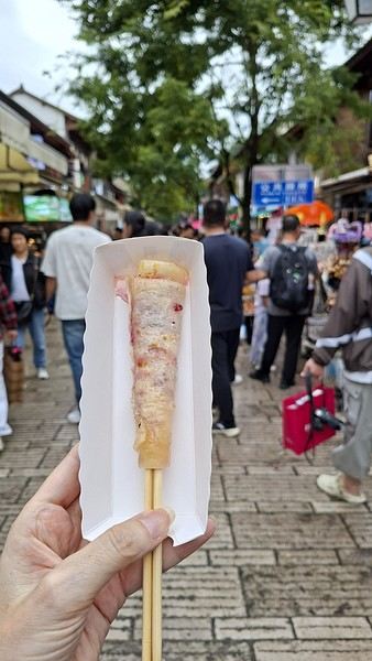
 And in Kyoto, Nishiki Market: