★ 1 · last edited Dec 11, 2019
Gers
Contributionsversion #1created Dec 11, 2019Report this pageLatest contributions in this guideContributors to this guide
Location verified location
 Gers
Open the interactive map
Gers
Open the interactive map
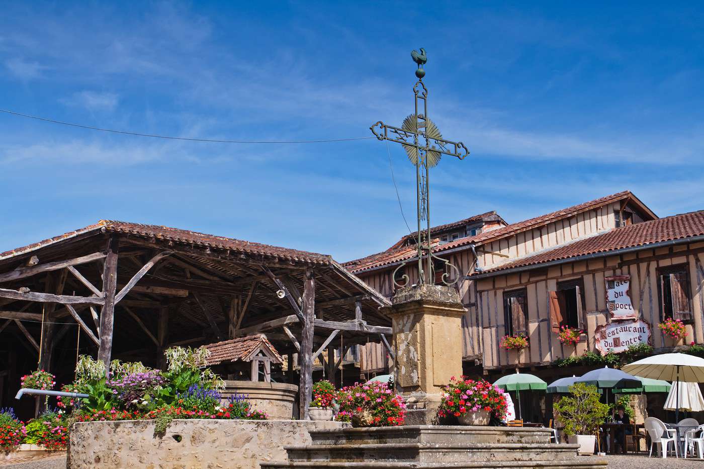
The Gers, with its gently rolling landscapes, is for many synonymous with countryside on the doorstep of Toulouse and peaceful weekends. Here, there are no breathtaking landscapes, major tourist sites, or large crowds. In short, even though several local festivals (Marciac, Mirande, Vic...) attract their share of visitors and a few bastides (Fourcès, Larressingle, Sarrant...) are well worth a visit, the Gers remains a destination that’s not very mainstream... which is precisely its charm.
Overview
Key facts
- Type of place: department.
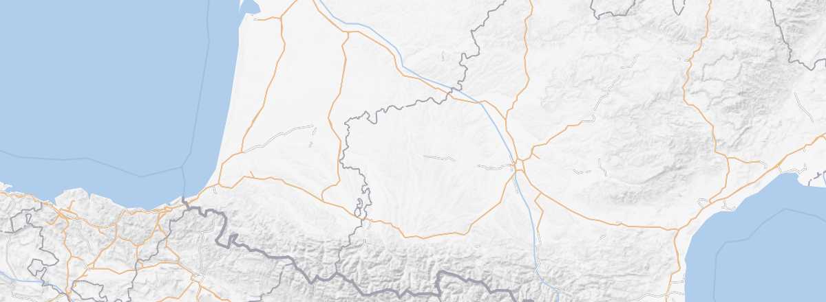
- Location: The department is situated between the Atlantic Ocean and Toulouse.
- Department code: 32.
- Bordering departments: Haute-Garonne, Hautes-Pyrénées, Landes, Lot-et-Garonne, Tarn-et-Garonne, Pyrénées-Atlantiques.
- Prefecture: Auch.
- Sub-prefectures: Condom, Mirande.
- Number of communes: 462.
- Population: 190,276 (2014).
- Area: 6,257 km².
- Density: 30 inhabitants/km².
- Highest point:
- Lowest point:
- Coastline: 0 km; no maritime access.
- Highlights (rated ): Nature ; Culture ; Relaxation-holidays
- Website: http://www.tourisme-gers.com
Climate and weather
Tourism
The Gers, with its gently rolling landscapes, is for many synonymous with countryside on the doorstep of Toulouse and peaceful weekends. Here, there are no breathtaking landscapes, major tourist sites, or large crowds. In short, even though several local festivals (Marciac, Mirande, Vic...) attract their share of visitors and a few bastides (Fourcès, Larressingle, Sarrant...) are well worth a visit, the Gers remains a destination that’s not very mainstream... which is precisely its charm.