last edited Jan 8, 2020
Regions of Tunisia
Contributionsversion #2created Jan 8, 2020Report this pageLatest contributions in this guideContributors to this guide
Location Map of Tunisia
 Tunisia
Open the interactive map
The Interior

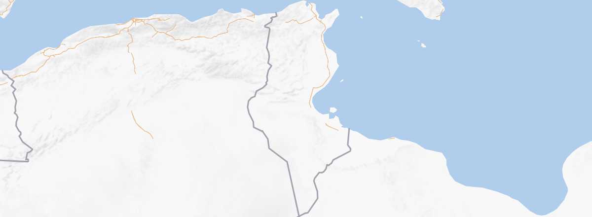
Apart from a few specific places (Kairouan, El Jem...), this is the least visited region of the country, nestled against the Algerian border. It is in this part of Tunisia that you’ll find the only elevations, though they barely reach 1,544 m at Jebel Chambi. These are the final extensions of the Atlas mountain range, which begins at Morocco.
The Coast

From the Algerian to the Libyan border, Tunisia has 1,300 km of coastline, featuring some of the country’s most visited spots like Djerba or the shoreline between Tunis and Monastir.
The Saharan Zone

This vast desert region occupies over a third of Tunisia in the south, stretching along the Algerian and Libyan borders. Sparsely populated except for a few towns and oases, it’s synonymous with dunes and camel treks, though in many areas, the reality is also one of arid, rocky landscapes perfect for hiking or 4x4 excursions.
Warning: Some areas in the far south of Tunisia, near the Algerian and Libyan borders, are currently not recommended for security reasons by the French Ministry of Foreign Affairs.