★ 2 · last edited May 26, 2020
Pas-de-Calais
Contributionsversion #2created May 26, 2020Report this pageLatest contributions in this guideContributors to this guide
Location verified location
 Pas-de-Calais
Open the interactive map
Pas-de-Calais
Open the interactive map
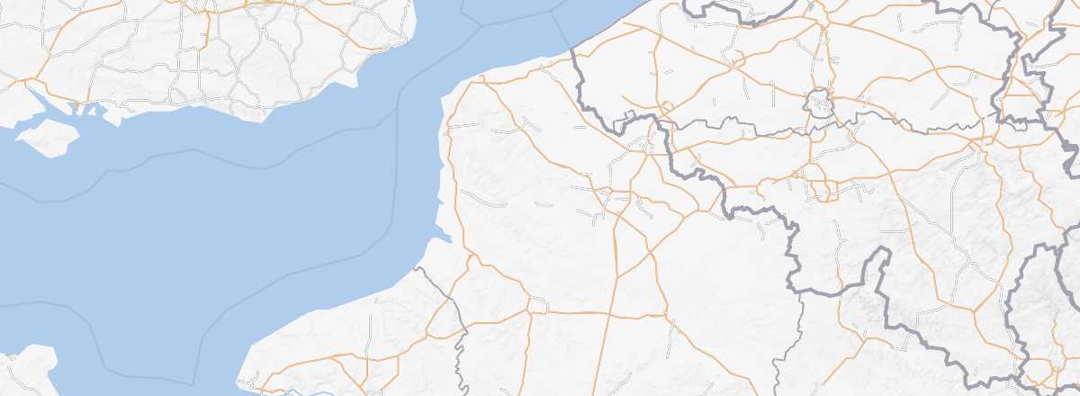
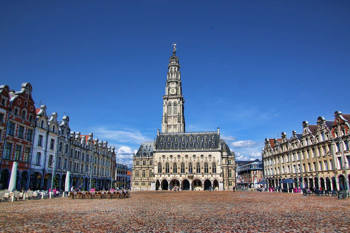
Often seen as just a "transit zone" between Amiens and Lille, Pas-de-Calais is well worth a stop for its historical heritage, bearing witness to both the era of Vauban (Arras, Montreuil) and the world wars (Arras, Vimy...). That said, it’s primarily its coastline that draws the most visitors, with the Côte d'Opale, renowned resorts like Le Touquet, and stunning landscapes such as the Cap Blanc-Nez and Cap Gris-Nez or the Authie Bay.
Overview
Key facts
- Type of place: department.
- Location:
- Department code: 62.
- Bordering departments:
- Prefecture: Arras.
- Sub-prefectures: Béthune, Boulogne-sur-Mer, Calais, Lens, Montreuil, Saint-Omer.
- Number of municipalities: 891.
- Population: 1,472,589 (2014)
- Area: 6,671 km².
- Density: 221 inhabitants/km².
- Highest point:
- Lowest point: sea level.
- Coastline:
- Highlights (out of ): Nature ; Culture ; Relaxation-holidays
Climate and weather
Sea temperature throughout the year
| Jan. | Feb. | Mar. | Apr. | May | Jun. | Jul. | Aug. | Sep. | Oct. | Nov. | Dec. | |
|---|---|---|---|---|---|---|---|---|---|---|---|---|
| Pas de Calais | 7 | 7 | 7 | 9 | 11 | 13 | 16 | 17 | 16 | 14 | 11 | 9 |
Tourism
Often seen as just a "transit zone" between Amiens and Lille, Pas-de-Calais is well worth a stop for its historical heritage, bearing witness to both the era of Vauban (Arras, Montreuil) and the world wars (Arras, Vimy...). That said, it’s primarily its coastline that draws the most visitors, with the Opal Coast, renowned resorts like Le Touquet, and stunning landscapes such as the Cap Blanc-Nez and Gris-Nez or the Authie Bay.