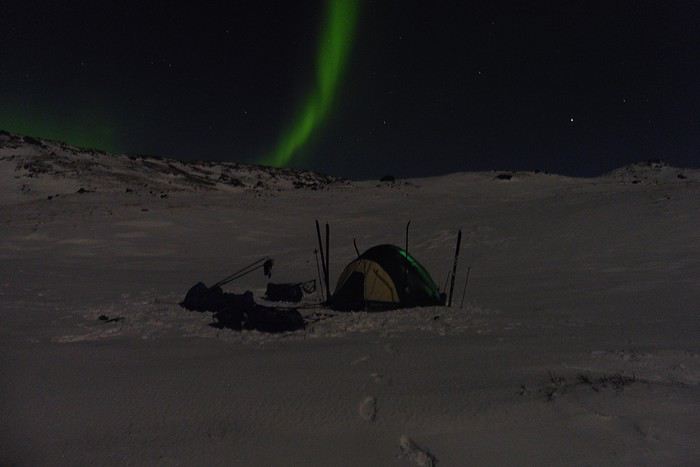
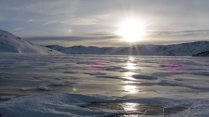
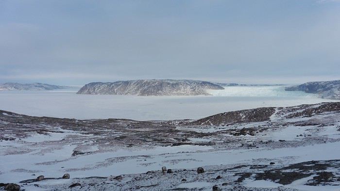
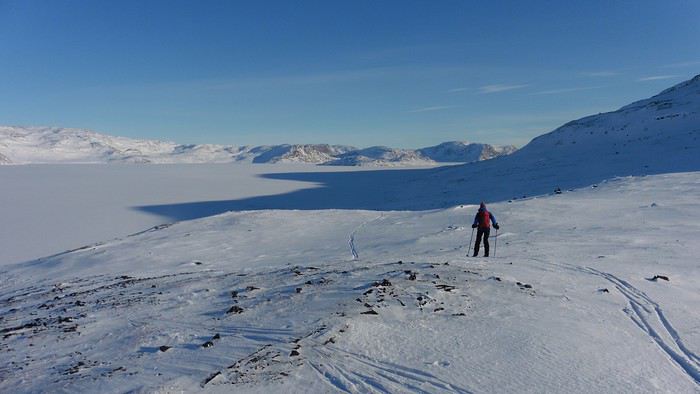
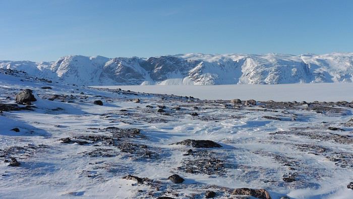
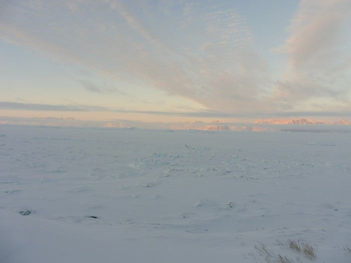
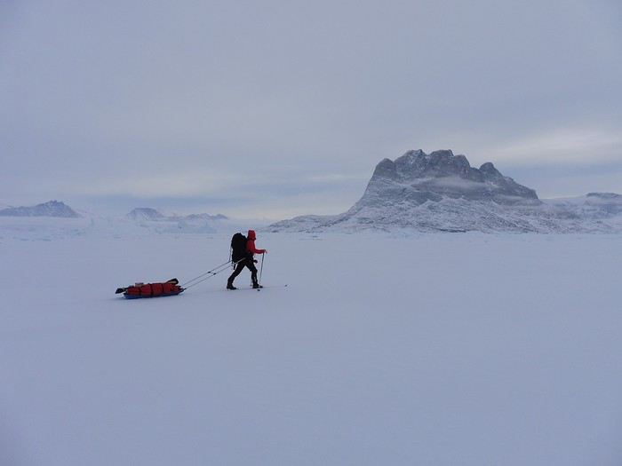
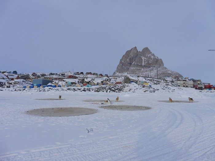
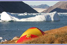
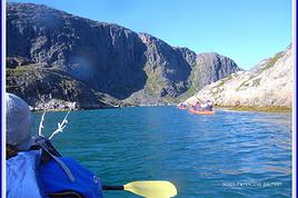
After two rather rainy kayaking experiences in Alaska at the end of summer in recent years, we chose a slightly drier destination for this late August 2018: the west coast of Greenland. The temperature will certainly be a bit colder, especially at this time of year, but we’re betting on a beautiful end to the season. According to temperature charts, it should be around 5 to 10°C with a few night frosts. The tundra will already have its autumn colors, and by the end of the trip, we might be lucky enough to see the northern lights when the nights get darker.
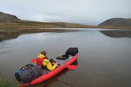
We’re setting off as a group of three in two inflatable double-seater kayaks (Gumotex) brought from France. The plan is to spend two weeks circumnavigating Arve Princess Island, located north of Ilulissat in Disko Bay, with a possible boat drop-off at the southern tip of the island.
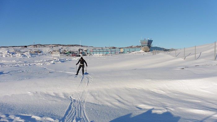
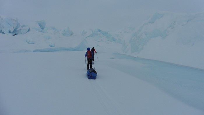
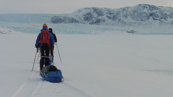
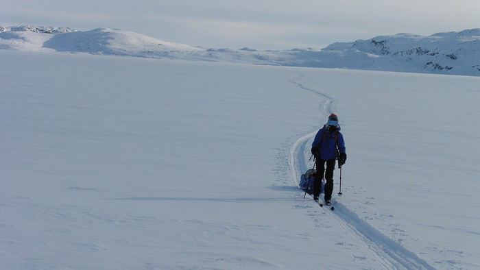
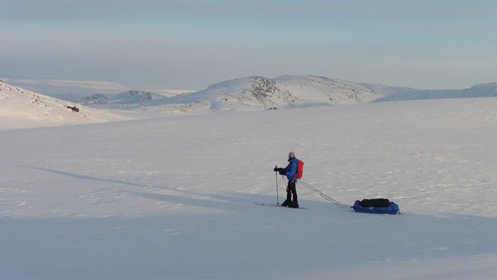
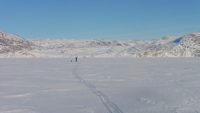
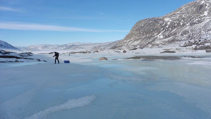
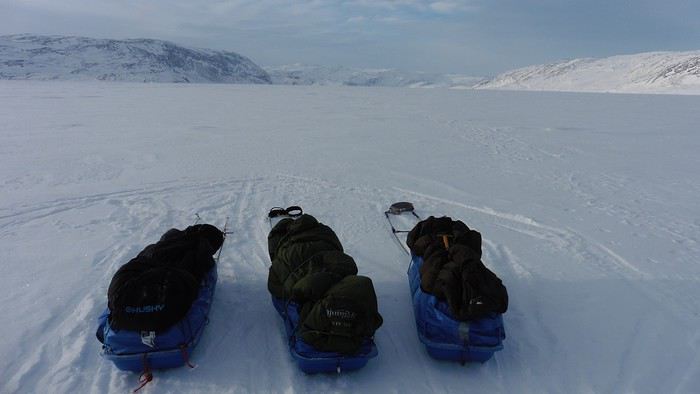
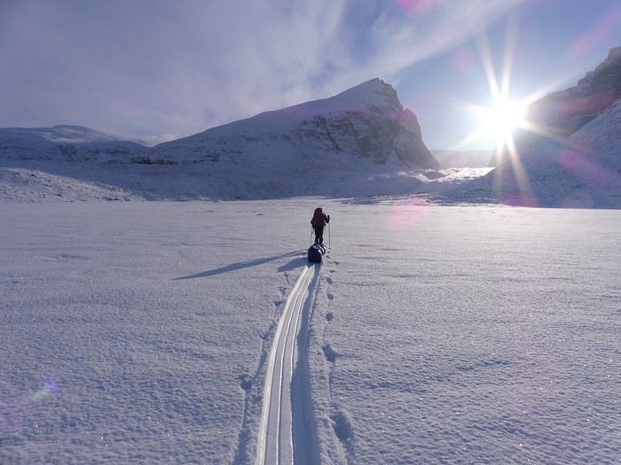
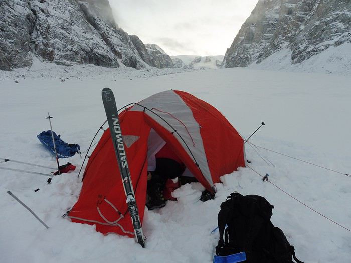
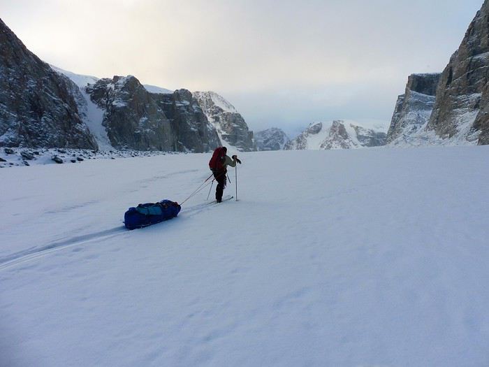
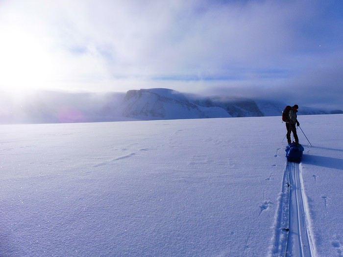
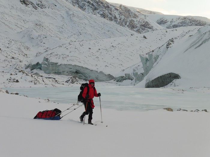
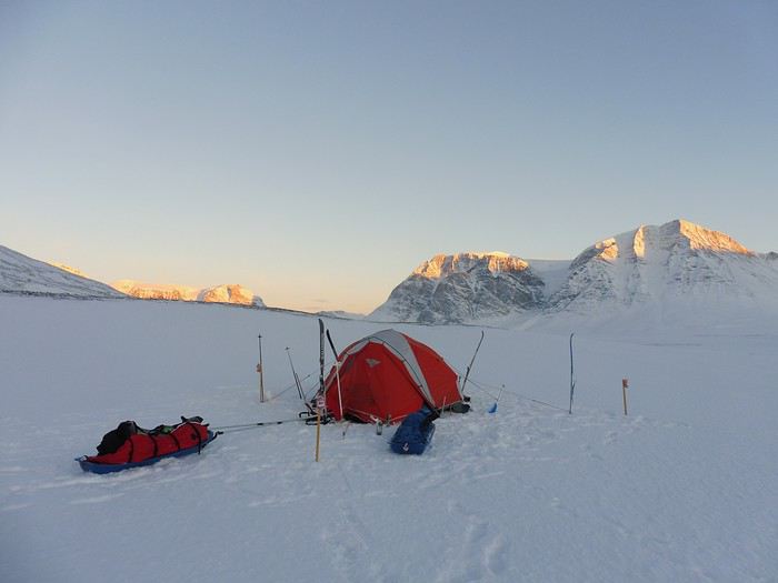
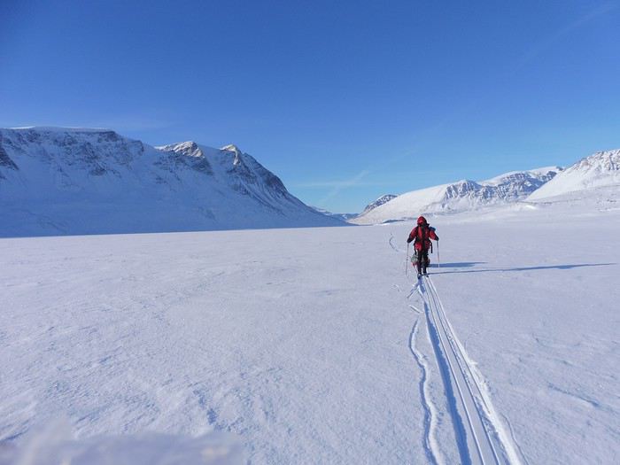
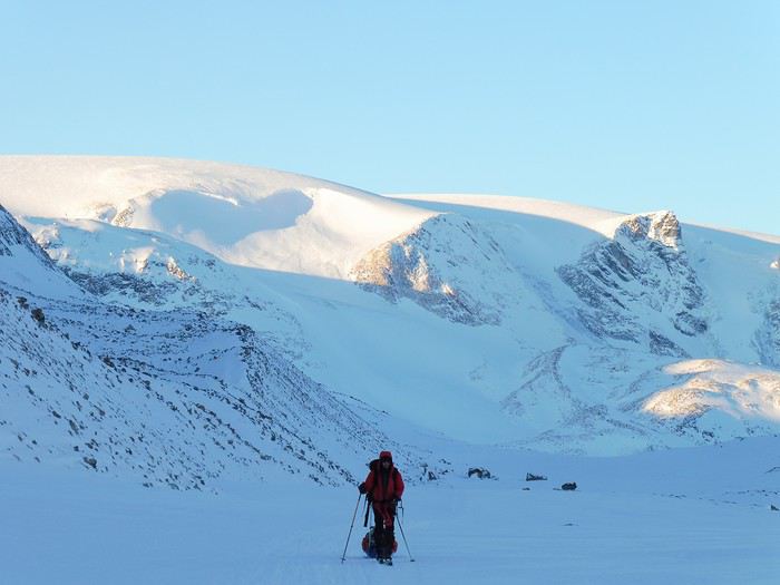
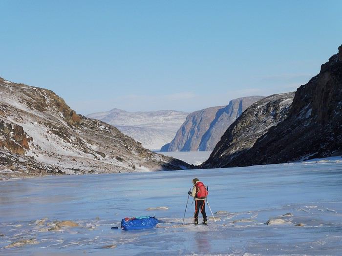
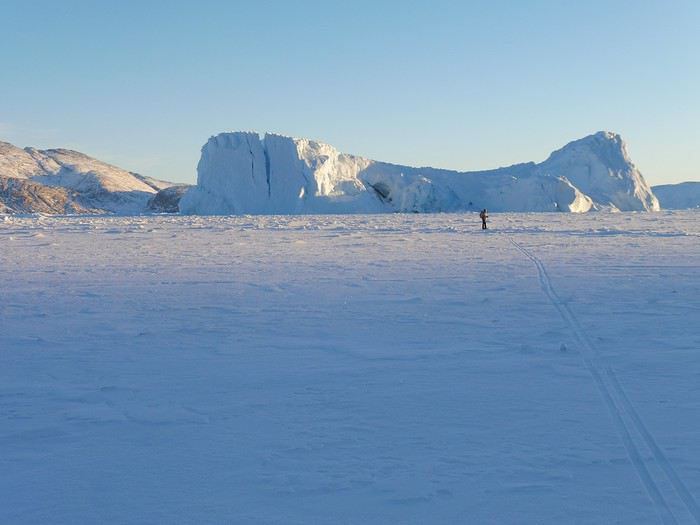
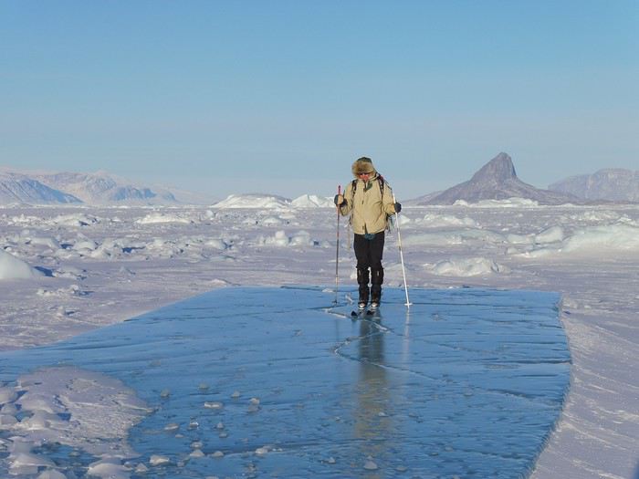
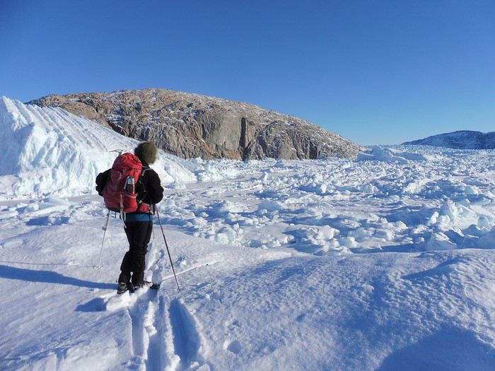
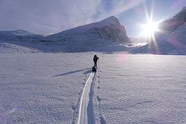
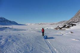
This seems like a fairly classic route in the area—we found several descriptions online (thanks to the authors). With their help and Google Earth, we identified all potential campsites and entered their coordinates into a GPS. The western part of the island, facing the bay, seems ideal for whale watching, while the more rugged eastern side offers access to several glacial walls. We’re somewhat familiar with the area from two winter expeditions on skis and pulkas.
Plus, the commitment is limited due to the island’s proximity to several small villages, including Qeqertaq, Oqaatsut, and even Ilulissat. In fact, we saw fishing boats almost every day. The distance suits us well: 200 kilometers in 16 full days on site, which should leave some leeway in case of bad weather or for hiking.
We booked our flights in June with Air Greenland to Ilulissat for the last week of August and the first week of September. On both the outbound and return trips, we stayed overnight in Copenhagen. The France-Copenhagen flight was with Air France.
We were allowed 3 x 20 kg in the hold. Each kayak with its accessories fits into a 20 kg bag; the last hold bag is for shared gear: tent, stoves, dry bags… We only brought 1.5 kg of semolina for food. In the end, we had 61 kg of gear, and no excess baggage was charged.
Individual gear (clothes and sleeping bags…) was distributed in the cabin luggage.
For the boat transfer, we contacted an agency: Blue Jay, which gave us a number to call upon arrival.
Day 0: Wednesday, August 22
Departure day. After work, I drove from Gap to Marseille’s Marignane Airport for the first leg of the trip to Copenhagen. I enjoyed the rather mild local temperatures: 35°C in the shade. After a layover in Paris, I arrived at the Copenhagen hotel, located two train stops from the airport, where my companions were already settled. No issues—everyone was on time with their luggage.
Day 1
The flight to Greenland was at 9 AM. We had a layover in Kangerlussuaq, where we changed planes, then stopped in Aasiaat before reaching Ilulissat Airport at 3 PM under beautiful sunshine.
We called Blue Jay for the boat transfer: they could take us to the island as early as 6 PM; otherwise, we’d have to wait until the next day. That left us 3 hours to prepare our gear and, most importantly, do our shopping for the two-week trip—it seemed tight, but we gave it a shot.
A quick taxi ride took us to Pisiffik, where we easily found everything we needed: bread, butter, cheese, cold cuts, rice, pasta, jam, muesli… There was no C fuel or methylated spirits for the stoves, but this time we knew the trick: at Stark, a bit uphill from the town, we found the precious liquids. Two hours later, we filled our dry bags and containers with our purchases, and by 5:30 PM, we met Klaus, the Blue Jay manager, directly at the port.
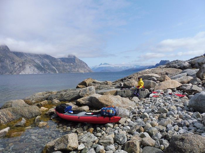
The vacation seemed to truly begin as we sped by boat through the icebergs toward Arve Princess Island. Forty-five minutes later, we spotted a beach lined with rocks where Klaus dropped us off quickly (he had another transfer to make right after).
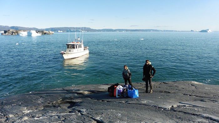
Here we were on the island, in the middle of nowhere, with all our luggage and food to organize, the tent to set up, and the kayaks to inflate—just 10 hours after leaving the Copenhagen hotel. We got to work, bothered by the flies. Despite our head nets, it was barely tolerable—there were so many of them. They swarmed by the dozens into every bag we opened. It was quite mild: 10°C.
Everything was ready by evening, and we were very happy to have completed all these transfers (planes and boat in a single day) as we slipped into our sleeping bags.
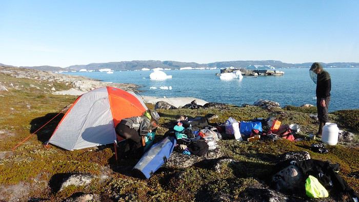
During the night, the wind picked up, and we went out several times to check the tent and kayak anchors. We noticed how bright it was—it was still quite twilight even at 1 AM.
Day 2
5:30 AM wake-up—the south wind was still strong, but since we were heading north, we decided to give it a try anyway.
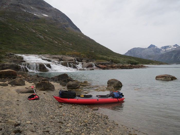
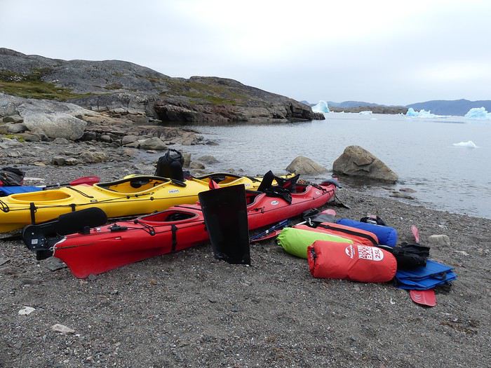
This was also the moment we loaded the kayaks: since there were only three of us for two double-seater kayaks, we filled the hatch of one kayak, which allowed us to fit all our food. It would have been very difficult if there had been four of us for two kayaks.
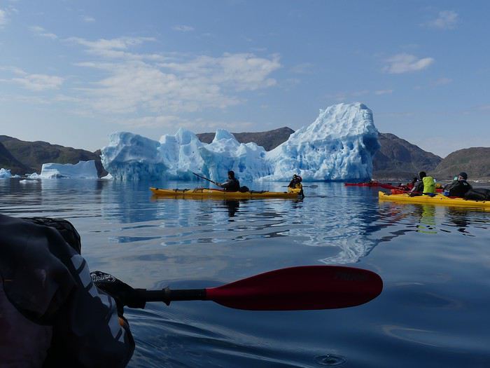
Finally, we set off north along the western coast of the island. The conditions were far from ideal—the sea was rough, and the kayaks had a lot of wind resistance. But the main problem was the spray skirt: the gear on deck weighed it down, and the skirt kept coming off… We’d have to deal with it. Barely underway, and whales were already breaking the surface—it was our first time seeing them, and we were very impressed. Too bad the wind didn’t allow for longer contemplation; stopping paddling was impossible with such strong gusts.
We passed a few headlands and even considered stopping due to the conditions. To find some semblance of shelter, we had to hug the coast closely without cutting across the numerous bays, which significantly lengthened the journey. But as the morning went on, the wind died down, and the sea calmed. We spotted several whales and our first seals. It was almost pleasant during the picnic break. By late afternoon, we reached Kangerup Sarqâ Bay, where we had identified a great campsite with a very large beach and a river. But the wind had shifted—it was now coming from the north, making the last hour difficult due to fatigue and headwinds.
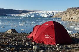
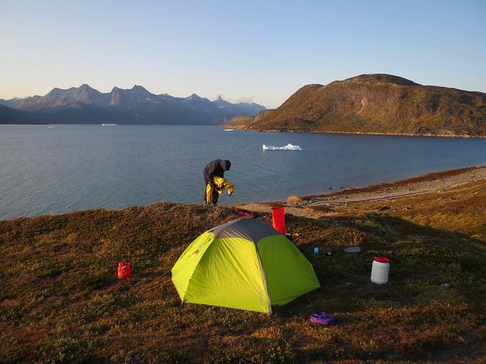
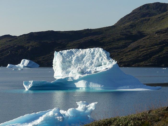
The campsite was ideal and beautiful, facing numerous icebergs grounded in the bay.
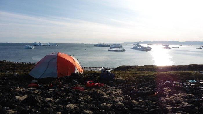
The GPS alerted us to another major drawback of inflatable kayaks: their slowness. It took us 7.5 hours of actual paddling (excluding breaks) to cover 28 km, averaging 3.7 km/h—somewhat disappointing. But we knew this before leaving, and once again, we’d have to make do!
Day 3
Surprise: at 6 AM wake-up, it was raining, foggy, with a south wind, and the sea was choppy even in the bay. It seemed wise to skip paddling, even though stopping on the second day was tough on morale. We went back to sleep, especially since the travel fatigue and the harsh conditions of the previous day had taken their toll.
At 11 AM, the navigation conditions weren’t any better—at the ends of the bay, we saw huge waves crashing onto the rocks, and giving up for the day became obvious. However, the rain had stopped, so we set off for a hike along the large lake bordering the bay. The wind hadn’t let up, and it was quite cold.
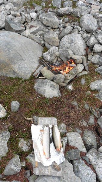
The tundra was starting to take on its autumn colors, and the contrast between the white lichens and the red vegetation was stunning. At the lake, we took out the fishing rods and quickly caught two beautiful Arctic char over 50 cm long.
As the afternoon wore on, the sun seemed closer. Along the beach, we gathered driftwood (mostly old planks) to cook our catch in foil over a fire. Eating our own food in such a beautiful place next to a good fire was comforting after the day’s setback.
In the middle of the night, an Arctic fox entered the tent’s rear awning. It seemed barely intimidated when we shooed it away with loud shouts and then with stones.
Day 4
6:15 AM wake-up—3°C. We were on the water by 8 AM. The wind had dropped significantly, but the sea was shrouded in fog, and it was very cold in these damp conditions.
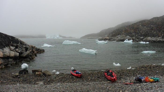
We passed the bay’s headland, Kangea, and headed toward the abandoned village of Agpat. The atmosphere was very austere—we hugged black rocks in fog that limited visibility to 50 meters, revealing large icebergs as we went.
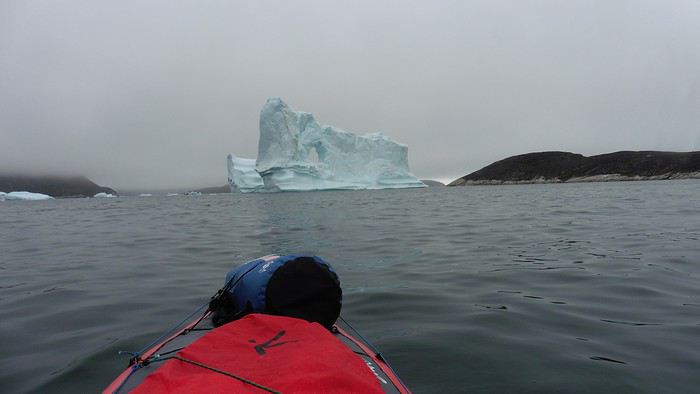
Suddenly, the water’s surface stirred in front of my kayak, and a huge gray back emerged from the sea. The collision was inevitable, but the whale seemed to understand and dove immediately, passing under the kayak and resurfacing a few meters away. I felt the kayak rock in the white foam and quickly paddled to escape the turbulence. What an emotion!
A light wind began to clear the fog, and the sun made beautiful appearances. Despite the cold, we stopped to visit the abandoned village, which left a strange impression. All the houses were still in good condition and wide open—some must have been very spacious in their time. We went back to sea, and in front of the large Kaangerdluk Bay, we hesitated—the headwind was strong, and large waves split the water. The next beach, from the island of Nua where we stopped to think, was over 8 km away. It was barely 2 PM, but caution led us to stop here for the day. We had covered 12 km—exactly the distance needed to stay on schedule. The afternoon was spent hiking on the island’s hills and gathering mussels and wood.
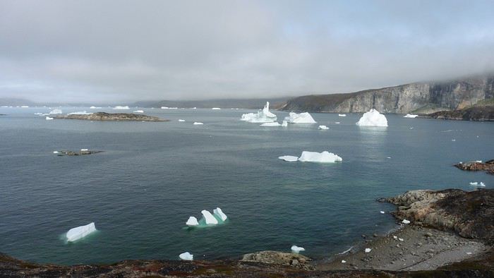
In the evening, we cooked these large Greenlandic mussels over a wood fire and savored them under the beautiful evening light. The weather was now fine, but the thermometer read -5°C in the sun…
Day 5
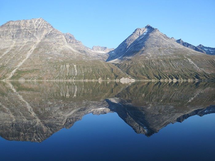
Bright sunshine, a glassy sea, and -8°C at 6 AM. Everything was green for setting off, even if putting on damp kayaking gear was a bit unpleasant in the cold. It was the first time we’d paddled on a flat sea since the start of the trip, and our average speed increased slightly.
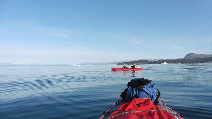
We entered the Smallesund Strait, marking the end of the island’s west coast. We were close to the large Torssukatak Fjord, where two glaciers flow. The access pass to the fjord was very narrow, and numerous ice chunks blocked access to the beaches. The wind had picked up and was now hitting us head-on (again). Just before entering the fjord, we landed on a steep beach made of large pebbles on Oqaitsut Island. It was very cold with the wind, and moving forward became difficult. We decided to stop for the day both because of the conditions and because the next campsite was far away, given how rugged the fjord was.
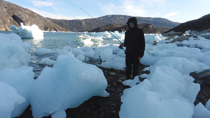
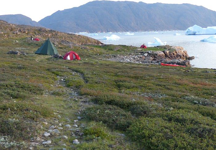
We eventually found a flat spot for the tent despite the steep slope.
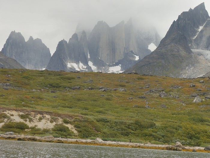
Even with the wind, the weather was beautiful, and we set off on foot for the northeastern cape of the island, overlooking the fjord. The view was far-reaching and exceptional—up close, the large fjord filled with ice and its steep granite cliffs, and in the distance, the ice cap and glacial walls.
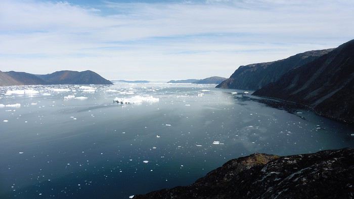
We spotted the village of Qeqertaq, whose network we could pick up, allowing us to check the weather forecast, which was rather good. While securing the kayaks in the evening, I noticed the strange behavior of one kayak at the end of the stage was due to the loss of the skeg—impossible to know where it detached. We’d have to do without it.
Day 6
Still that icy headwind from the northeast. We set off anyway for a long stage to reach the large pass connecting the Torssukatak and Ata Fjords.
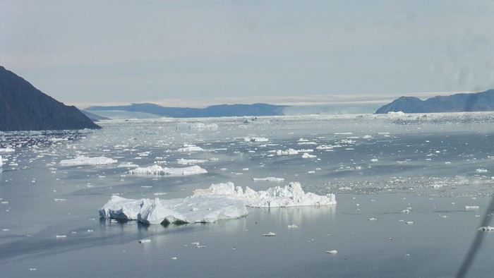
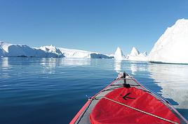
We advanced laboriously along the high cliffs of the fjord’s southern shore. They faced due north and blocked the sun. We felt the cold and dampness of the rock. It was really cold, especially in the extremities. We picnicked on the western cape of Qeqertakavasak Island. The cold didn’t allow us to stop for more than 20 minutes… But the wind dropped, and the sea was now very smooth. It was heavily cluttered with ice between the icebergs and old pack ice. The goal was to reach the large rocky promontory of Anapnuna, wedged between the Kujatdleq and Kangilerngata Glaciers, but the ice made progress difficult. We stopped to gain height on a small island and spot a passage of open water, but all we saw was white—passing seemed impossible. The currents were very complex, and entire sections of ice were being swept in one direction and then another at an impressive speed.
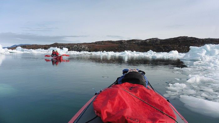
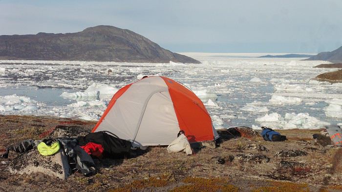
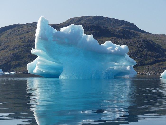
We wandered through this labyrinth until landing on a beach on the small island of Takissut, where we set up camp, exhausted from the 30 km covered and the vigilance required by the abundance of ice. The place was sublime under the evening sun—we were surrounded by ice and mountains, with the Kangilerngata Glacier in the distance. The summer contrasts were striking between the water, icebergs, sky, and flaming tundra—all colors were represented. Absolute calm reigned.
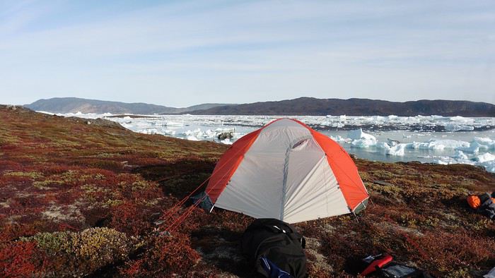
The lack of drinking water at this spot wasn’t too much of a constraint: as soon as we arrived on the beach, we placed containers under the icebergs stranded in the intertidal zone. They were all full by the time we finished setting up.
Day 7
We had to change our plans: we wouldn’t reach the rocky promontory, too well protected by the ice. We set off under the sun for Igdluluarssuit Island. Although we had spotted a passage just before launching, we quickly found ourselves surrounded by ice. It was everywhere, and finding water to paddle became complicated. We tried to force our way in every direction, even retracing our steps. Everything moved at an impressive speed—we were in the middle of a whirlpool of ice.
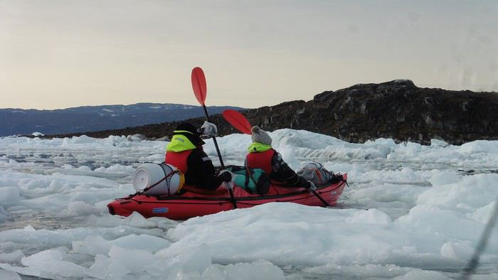
The tension rose, and each boat had its share of big scares. I was trapped against ice floes that dragged me toward an iceberg—the pressure on the kayak was enormous; it was going to capsize or puncture! But with a few strong strokes and paddling against the ice, I managed to free myself from the trap. Barely 10 minutes later, my companions were sandwiched perpendicularly between two icebergs that were closing in. The situation was desperate—the kayak was bending and twisting more and more, but with some strong paddle strokes, it finally freed itself. After these particularly unpleasant moments, we were completely blocked. The drifting ice floes had tightened, and the kayaks were no longer even in the water… The only solution: wait with the kayaks on these floes, which were too thin to walk on (even though we didn’t try). Within minutes, the situation cleared—a waterway opened, and we rushed into it. We paddled with one goal: find a larger pool of water. After going back and forth, our path took shape—we had to force the passage several times, attacking the ice directly with the kayaks, and finally, we escaped the worst of the labyrinth. We reached land on the west side of the island and saw that the rest would be easier. To reach the island, we just had to cross the Arsiviup Ikera Strait, which was lightly cluttered. We reached the eastern cape of the island, ideal for camping, even though we had only paddled for 3 hours. We set up camp and hiked to the island’s summit, which overlooks the entire pass and the glaciers.
Everything was magnificent, no matter the direction. At 2 PM, we were at the summit—the beauty of the place and the picnic facing the glacier in the sun without wind made us forget the near-disaster from a few hours earlier.
It would be impossible to approach the glacier by kayak, but from our summit on foot, it seemed so close, and contemplating it safely on solid ground was a great moment.
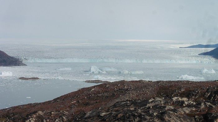
The pass was incredibly complex—everything was in motion, and an impassable passage could become open water within minutes. We were delighted when we returned to camp. A slightly lost whale among the ice accompanied us along the shore. The place was truly beautiful, but the temperature dropped again under the clear sky, preventing us from eating outside.
Day 8
Clear and cold at wake-up: -9°C. The sea had frozen in many places. We hesitated about the rest of the trip—should we start heading back to Ilulissat or linger in the pass, especially to approach the Eqi Glacier? After the incidents of the previous day, we decided to think carefully and paddled to the southern cape of our island to check the ice conditions toward Eqi. The weather had clouded over in the meantime, and the sky was quite gray. At the cape, we spotted the glacier’s wall, still 15 km away.
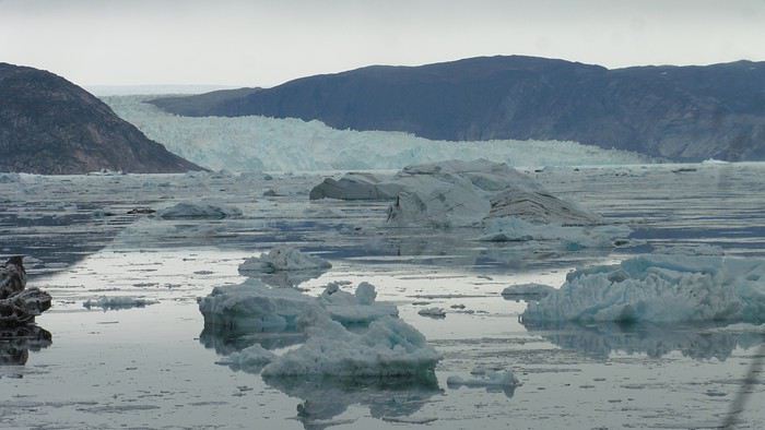
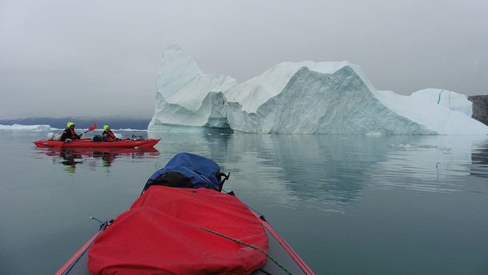
The fjord was quite cluttered, but it seemed passable. However, there was no guarantee the view would be much better 1 km from the glacier than 15 km away, especially since the front was quite active and therefore dangerous. We decided to head south without passing by the glacier. The cold temperatures encountered in the pass also motivated us to move away from the glaciers and the ice cap. We navigated under a threatening sky but without wind. The kayaks cut through the thin layer of ice on the surface with a crinkling paper sound. We reached the Ata campsite in the late afternoon after 5 hours of rowing without a single break…
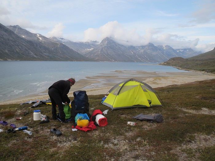
The wind had picked up, and we discovered a nice surprise: a refuge with a table and a comfortable bench lined with mattresses. Facing the worsening weather, we settled in comfortably. The kerosene stove was too complex for our three brains—we couldn’t get it started, too bad, as it was 0°C inside.
The rest of the afternoon was spent fishing in the large lake, where we landed a beautiful Arctic char, more than enough for three.
A good night’s sleep without the risk of foxes or the sound of a tent shaking in the wind.
Day 9
6 AM wake-up to the sound of rain hitting the cabin. The decision was made looking out the window—wind, rain, and fog obscured the sea: we went back to sleep.
New wake-up, and the rain had stopped—we could go out and stock up on fish. We set off on foot toward the lake, following its western shore. It was very overcast, and the wind encouraged us to keep moving. We made our way to a smaller lake at the end of the large one, where we caught a huge Arctic char. A small clearing brightened the picnic, and we headed back to our cabin.
This 20 km hike kept us busy all day: walking on slippery scree and the micro-relief of the peat bogs took time.
Day 10
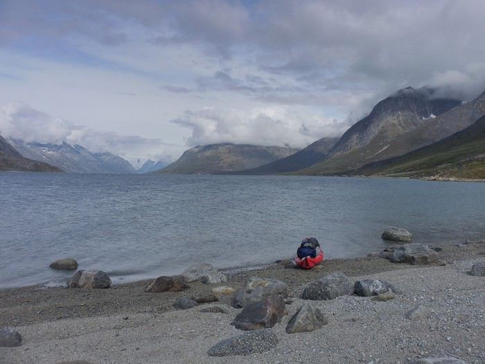
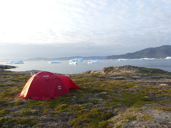
The sky was clear, but a light south wind made paddling intense. We set off southeast to reach the opposite shore of the fjord. It was very cold, and it was impossible to stop paddling for even a moment without immediately losing ground due to the wind. We crossed the Kangerluarsuk Fjord. I recognized the cape I had reached on skis in the winter of 2017. We found a nice campsite on the southern shore of the fjord: Uiartag. It wasn’t even noon, but facing this headwind, we preferred to stop here rather than exhaust ourselves for a few extra kilometers. Like the previous ones, this campsite was very comfortable: the ground was covered with a thick layer of lichens and mosses, very pleasant to lie on.
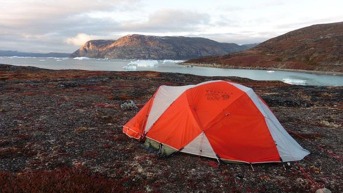
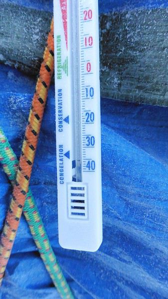
We set off on a hike to the heights of the cape, where the weather alternated between large clearings and snow showers. We noticed the loss of the thermometer, poorly attached to the backpack. On the way back, in the small bay of our beach, a whale swam calmly 10 meters from the shore—a beautiful surprise.
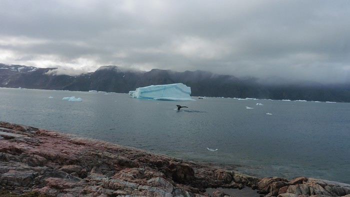
The sky cleared completely, and the temperature dropped as night approached.
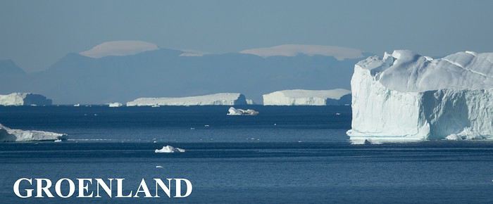


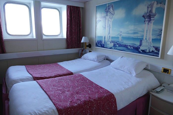

 Parmi les gros glaçons et les glaciers...
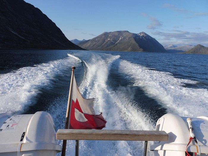
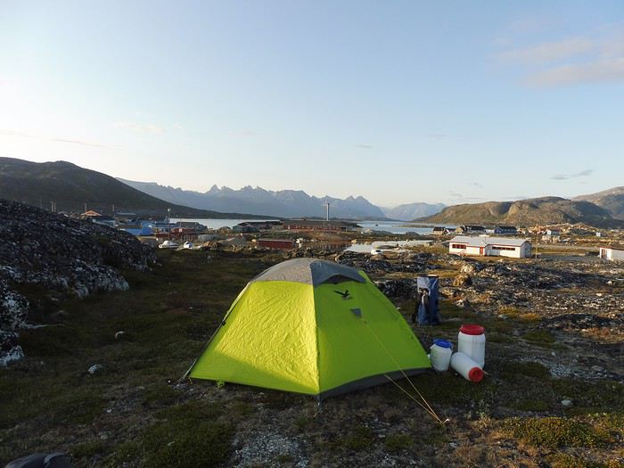
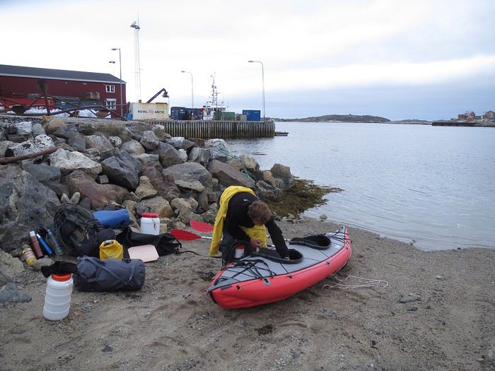
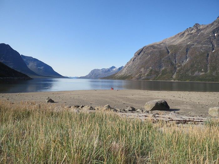
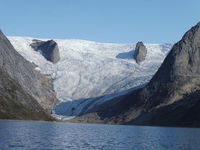
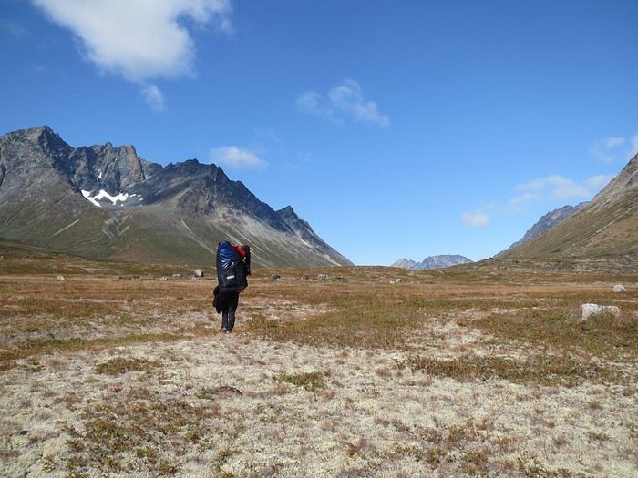
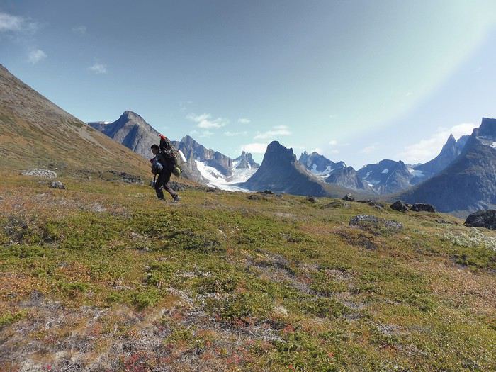
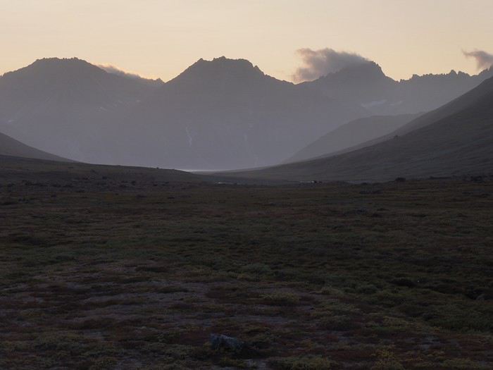
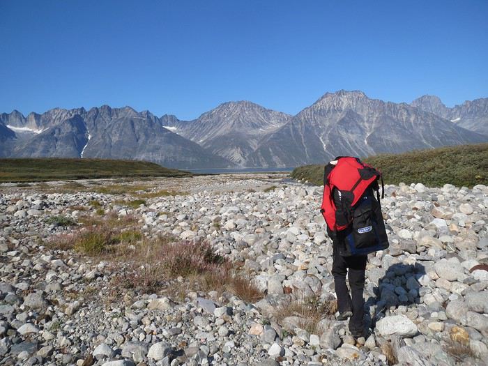
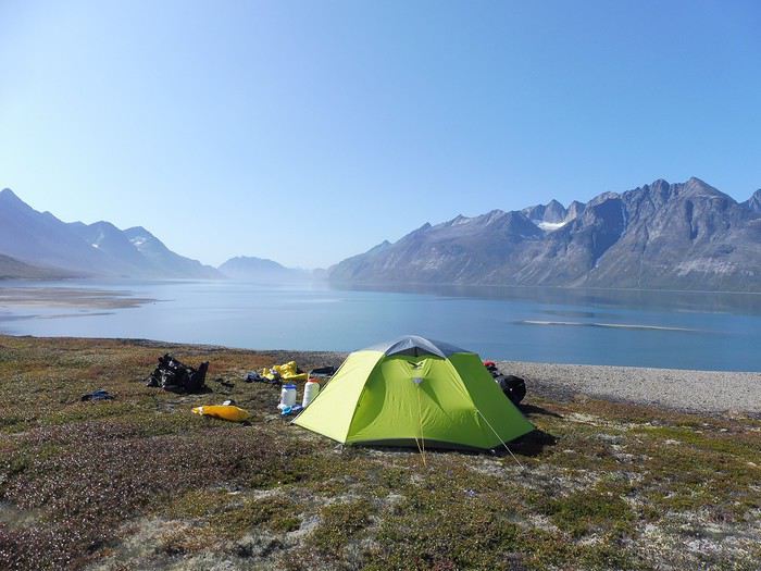
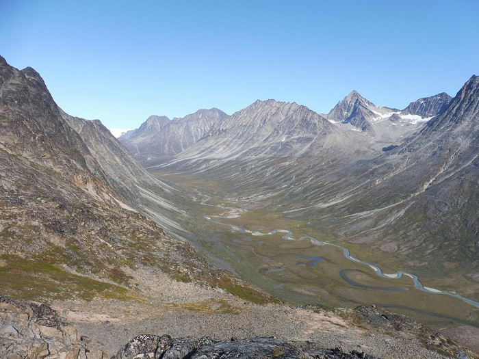
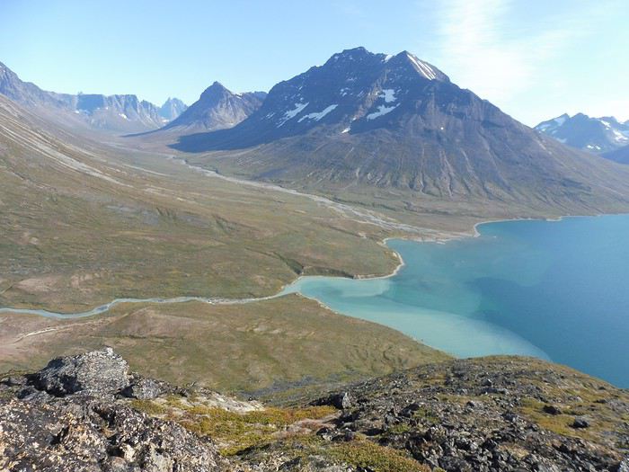


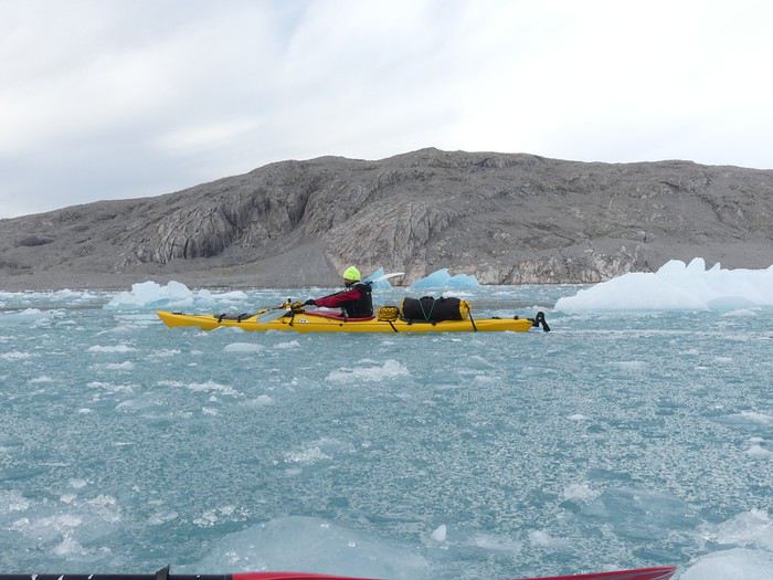
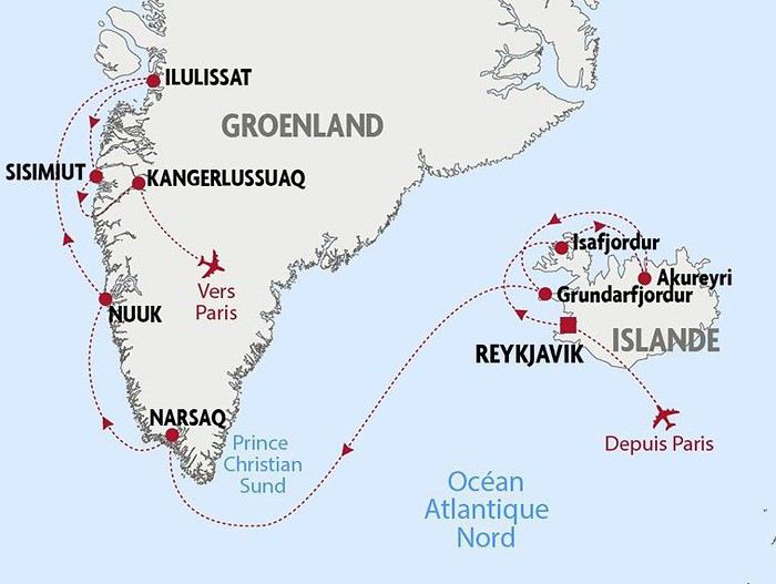
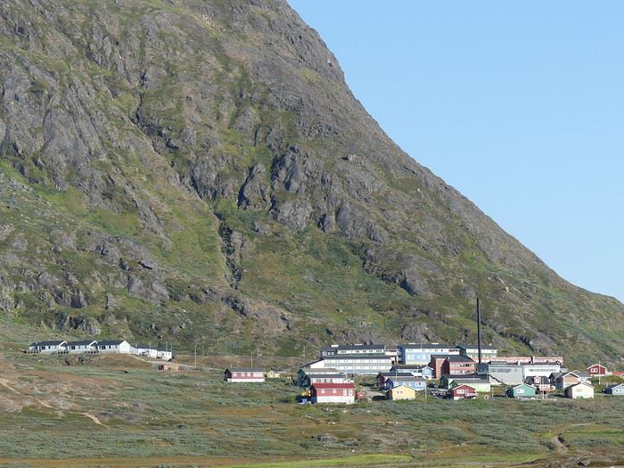 Au port, nous sommes accueillis par Elo (Eloïsa), notre guide. Une Argentine de Patagonie qui, nous le remarquerons très rapidement, est en parfaite symbiose avec son environnement rigoureux.
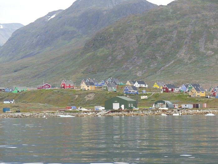 Nos valises sont chargées dans une nouvelle remorque puis nous rejoignons à pieds notre hébergement, une petite auberge en bordure de ville. De très nombreux icebergs flottent dans le fjord, la vue est magnifique. Avec plus de 1’500 habitants et 2 supermarchés, Narsaq possède bien le statut de ville.
 Nous profitons de la soirée pour faire connaissance, Elo répond à toutes nos questions plus ou moins saugrenues sur l’expédition à venir. En voici un échantillon dans le désordre :
 Nous retournons ensuite au hangar où est stocké tout le matériel pour prendre possession de notre équipement. Chacun reçoit une combinaison étanche, une paire de bottes en caoutchouc, une jupe permettant de « fermer » le kayak, un gilet de sauvetage et une pagaie.
Nous voilà enfin prêt !
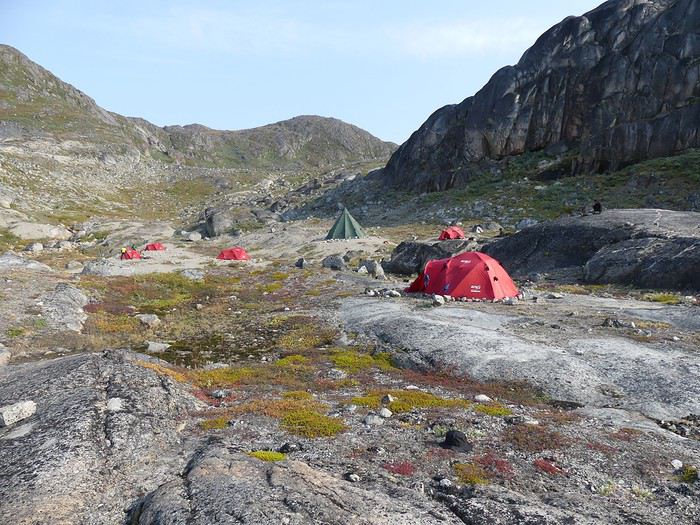
L’après-midi est bien entamé et le ciel couvert lorsque nous recevons une formation accélérée du pagayage et des règles de sécurité avant de mettre les kayaks à l’eau. Les premiers coups de pagaies sont hésitants pour les débutants, les duos fraichement formés apprennent à se coordonner. (Nous avons participé à un cours privé de technique de pagayage avant notre départ, sur un lac suisse, ce qui n’est pas un luxe). Il nous faudra deux heures pour parcourir les 5 km nous séparant de la rive opposée du fjord. A destination, nous découvrons ce qui deviendra un rituel quotidien : nous portons les kayaks sur plusieurs mètres pour éviter de les voir emportés par la marée montante. Il faut être 6 pour porter un kayak double et 4 pour un simple. Nous unissons ensuite nos forces pour monter le tipi, qui sert de réfectoire et de tente pour Elo.
Nous retournons ensuite au hangar où est stocké tout le matériel pour prendre possession de notre équipement. Chacun reçoit une combinaison étanche, une paire de bottes en caoutchouc, une jupe permettant de « fermer » le kayak, un gilet de sauvetage et une pagaie.
Nous voilà enfin prêt !
L’après-midi est bien entamé et le ciel couvert lorsque nous recevons une formation accélérée du pagayage et des règles de sécurité avant de mettre les kayaks à l’eau. Les premiers coups de pagaies sont hésitants pour les débutants, les duos fraichement formés apprennent à se coordonner. (Nous avons participé à un cours privé de technique de pagayage avant notre départ, sur un lac suisse, ce qui n’est pas un luxe). Il nous faudra deux heures pour parcourir les 5 km nous séparant de la rive opposée du fjord. A destination, nous découvrons ce qui deviendra un rituel quotidien : nous portons les kayaks sur plusieurs mètres pour éviter de les voir emportés par la marée montante. Il faut être 6 pour porter un kayak double et 4 pour un simple. Nous unissons ensuite nos forces pour monter le tipi, qui sert de réfectoire et de tente pour Elo.
 Ensuite, chacun retire son équipement, vide son kayak, installe sa tente, se change et il est déjà l’heure du repas.
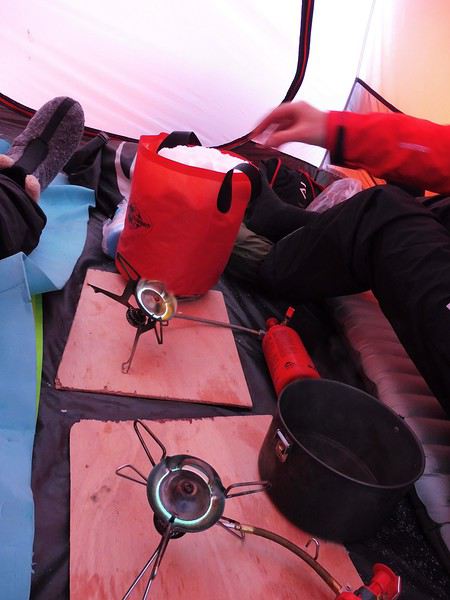
 Elo nous concoctera de délicieux menus tout au long du séjour. Jolie prouesse que de cuisiner par terre pour 13 personnes avec deux feux à gaz, une poêle et une casserole.
Durant la nuit, la température descendra jusqu’à 6 degrés. Les icebergs à la dérive ne cesseront d’exploser, de se fissurer, de chuter et de se retourner. Le bruit est impressionnant.
Le lendemain, le ciel est bleu, le paysage toujours aussi beau. Après le petit-déjeuner, une courte marche nous permet de découvrir des ruines d’habitations vikings.
Elo nous concoctera de délicieux menus tout au long du séjour. Jolie prouesse que de cuisiner par terre pour 13 personnes avec deux feux à gaz, une poêle et une casserole.
Durant la nuit, la température descendra jusqu’à 6 degrés. Les icebergs à la dérive ne cesseront d’exploser, de se fissurer, de chuter et de se retourner. Le bruit est impressionnant.
Le lendemain, le ciel est bleu, le paysage toujours aussi beau. Après le petit-déjeuner, une courte marche nous permet de découvrir des ruines d’habitations vikings.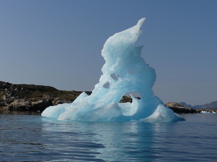 Comme annoncé, Elo se « douche » dans la mer. Nue, elle fait quelques brasses avant de laisser sa peau sécher au soleil. D’abord interloqué, la moitié du groupe finira par l’imiter, avec quelques cris (l’eau est à 2-3 degrés) mais dans une ambiance bonne enfant. Nous voilà au sein d’un groupe de naturistes au Groenland !
 Nous repartons ensuite pour atteindre notre camp. Il nous faudra 1h30 supplémentaires pour enfin accoster ! Journée très éprouvante, nous avons parcouru près de 25 km. Le ciel révélera quelques faibles aurores boréales blanchâtres. A part le craquement des icebergs, nous profitons d’un silence total. On adore !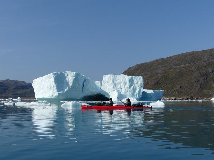
 Après 15 km, nous atteignons un nouveau campement. Nous admirons deux aigles et profitons de la rivière toute proche pour une douche…. rapide, très rapide la douche !
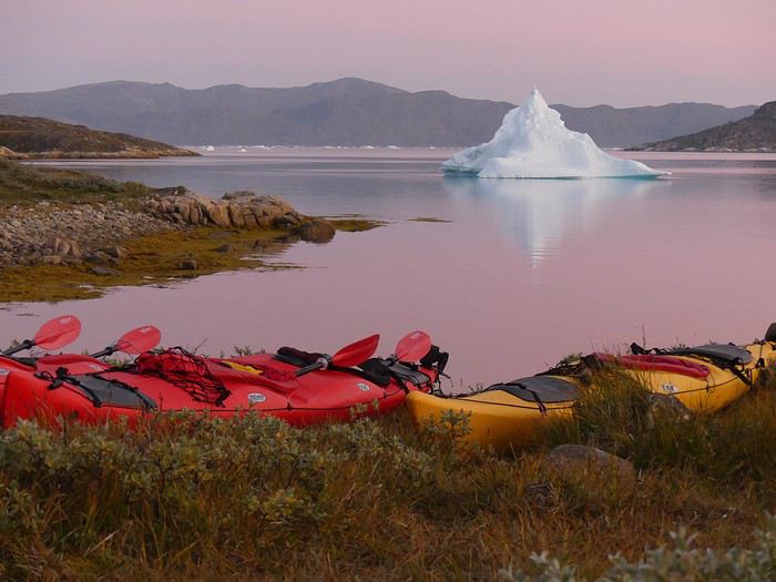 Durant le repas du soir, nous mettons en place des tours de garde afin de surveiller le ciel. Nous espérons pouvoir admirer de belles aurores boréales. Grande dormeuse, je prends immédiatement le premier tour, de 23h30 à minuit. Après deux heures de sommeil, je me rhabille et sors péniblement dans le froid.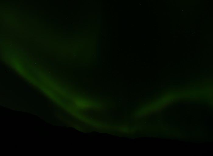
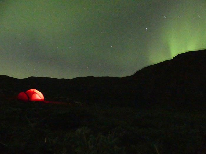 Nous sommes éblouis : le ciel danse sous nos yeux, les aurores ondulent avec grâce, moment inoubliable mais aussi intense que court : à peine 10 minutes !
Nous retournons nous coucher, des aurores pleins les yeux !
Nous sommes éblouis : le ciel danse sous nos yeux, les aurores ondulent avec grâce, moment inoubliable mais aussi intense que court : à peine 10 minutes !
Nous retournons nous coucher, des aurores pleins les yeux !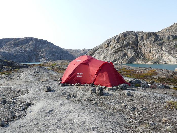
 La suite de la journée est libre, chacun s’occupe ou se repose selon ses envies.
Le cinquième jour, pas de kayak ! La journée est consacrée à une randonnée. 6h de marche et 700 mètres de dénivelés pour atteindre un sommet proche de l’Inlandsis. Les fortes rafales de vent de la nuit sont se calmées, nous profitons d’un soleil radieux.
La suite de la journée est libre, chacun s’occupe ou se repose selon ses envies.
Le cinquième jour, pas de kayak ! La journée est consacrée à une randonnée. 6h de marche et 700 mètres de dénivelés pour atteindre un sommet proche de l’Inlandsis. Les fortes rafales de vent de la nuit sont se calmées, nous profitons d’un soleil radieux.
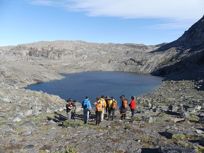 Aucun sentier, nous suivons tant bien que mal Elo. Nous débusquerons des perdrix avant de nous goinfrer de délicieuses myrtilles sauvages. A midi, nous atteignons le sommet et admirons la vue sur la calotte polaire, infinie. 3’000 kilomètres plus au Nord, c’est le Pôle Nord. La glace atteint en moyenne 2 kilomètres d’épaisseur. Tout est démesuré, nous nous sentons minuscules.
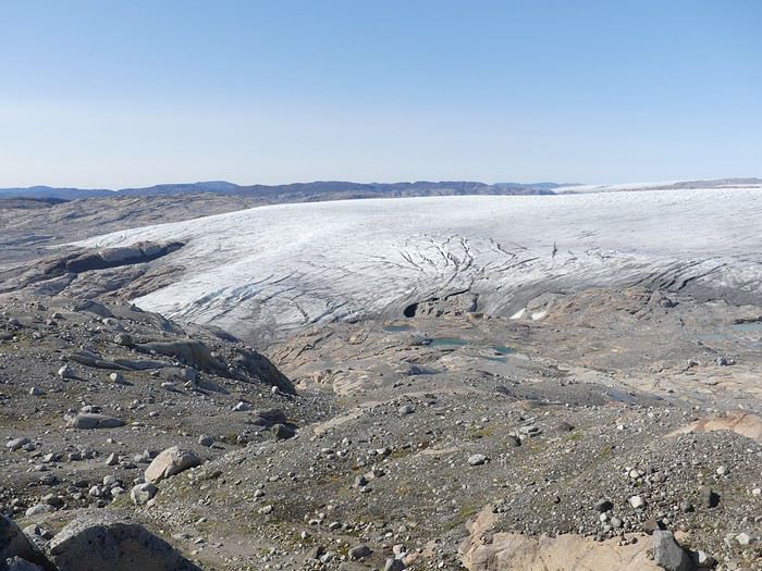
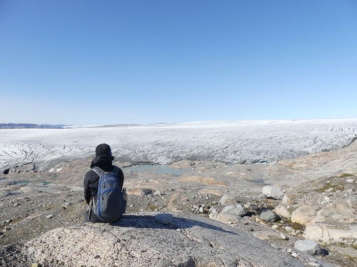 Nous pique-niquons à l’abri d’une barre rocheuse (le vent est assez fort sur les crêtes) avant d’entamer la descente.