CENTRAL COASTAL CIRCUIT
The next morning, after eating breakfast, we went for a walk on the beach bordering the campsite. It’s very wide and lined with high cliffs. It seems like the perfect spot to watch the sunset.
We walked along the left side of the beach, but since the tide was high, we couldn’t go very far.
We then took a small trail at the top of the cliff and discovered a tiny arch formed by erosion at the base of the cliff, right by the beach.
After this short hike, we packed up and set off on our island road trip.
Even though we did the full loop around the island, I’ve decided to share the different attractions based on the coastal circuits suggested by Tourism Prince Edward Island (Website).
There are three circuits. I’ll start with the Central Coastal Circuit since that’s where the campsite we stayed at is located.
Darnley - Thunder Cove Beach
GPS Coordinates: 46.562135, -63.640277
We only drove a few kilometers to reach Thunder Cove Beach. It’s accessible via an unpaved road. We parked our car by the side of the road.
The beach is reached by a small sandy trail. It’s a beautiful, long beach perfect for hiking. It’s bordered by high sandstone cliffs with several small caves formed in them.
Its main attraction is the spectacular rock formations shaped by erosion. One of them is nicknamed Teacup Rock.
To get there, head to the left side of the beach. When the tide is low, it’s easily accessible. However, it was high during our visit.
So, we climbed to the top of a cliff that juts out into the ocean and descended to the beach on the other side.
That’s where the wind and water have eroded the cliffs, separating them to form stunning sculptures like Teacup Rock. As you might’ve guessed, the rock’s shape resembles a teacup.
Unfortunately, erosion continues, and its transformation will be ongoing until it completely dissolves into the ocean.
French River Lookout
GPS Coordinates: 46.512203, -63.514704
We stopped at a lookout on Route 20. It offers a magnificent view of the small fishing village of French River. The landscape is so photogenic that it’s one of the most painted spots on the island.
Plus, the wild lupins that grow here add to the undeniable charm of this place. Behind the lookout’s parking lot, there was a field entirely covered in these vibrantly colored plants.
The Swimming Rock Lookout
GPS Coordinates: 46.467174, -63.451423
This park is located in Stanley Bridge, about 4 km from Cavendish. It’s a nice spot to stop for a picnic, though there are no restrooms.
A wooden staircase leads to a small red sand beach covered in pebbles. The water is shallow here for a long stretch.
If you want to relax on this beach, I’d recommend bringing a chair or a beach mat. Otherwise, comfort is nonexistent!
Cavendish Beach
GPS Coordinates: 46.498135, -63.391516
This long golden sand beach is part of Prince Edward Island National Park. It’s bordered by high dunes and has several access points.
It’s usually a very busy beach, but when we visited, there weren’t many people. Granted, it was still early in the peak season.
The following facilities are available here: restrooms, showers, changing cabins, and food services. A bike path runs near the beach.
Since this beach is in a national park, there’s an entrance fee (see FEES).
We visited this beach on July 1st. When we arrived at the toll booth, the attendant told us it was free because it was Canada Day. What a nice surprise!
Sandspit Cavendish Beach
GPS Coordinates: 46.485688, -63.404989
Sandspit is an amusement park that’s fun for the whole family. It has several rides, a carousel, bumper cars, mini-golf, go-karts, slides, an arcade, and more.
Entry is free, and the park has a large parking lot that’s also free. You only pay if you want to do an activity. You can buy a few tickets or get a wristband for unlimited access to the attractions.
For more info, click here: SANDSPIT
Brackley Beach
GPS Coordinates: 46.430315, -63.202078
This stunning golden sand beach is also part of Prince Edward Island National Park, which is why there’s an entrance fee. Like Cavendish Beach, it’s bordered by high dunes.
The following facilities are available here: restrooms, showers, changing cabins, and food services.
Charlottetown
GPS Coordinates: 46.233980, -63.121820
Charlottetown is the island’s capital. This city is definitely worth a visit, with excellent restaurants and lots of little shops.
However, since our stay was relatively short, we only took a short walk near the harbor.
To learn more about this city, click here: CHARLOTTETOWN
West River Lookout near New Dominion
GPS Coordinates: 46.187997, -63.233415
West River is a pretty river bordered by a red sand beach. This waterway is very popular with water sports enthusiasts, like kayakers and stand-up paddleboarders (SUP).
A business has even set up along the river and offers equipment rentals.
Blockhouse Point Lightstation
GPS Coordinates: 46.190612, -63.129409
At the exit of the Port-la-Joye - Fort Amherst National Historic Site, there’s a dirt road leading to this lighthouse, which is one of the oldest on Prince Edward Island.
This pretty white lighthouse, with its window frames and the top of the tower painted red, is set in a very pleasant environment.
Its location offers stunning views of the harbor and the city of Charlottetown. There’s also an access path leading to a small beach.
Port-la-Joye-Fort Amherst
GPS Coordinates: 46.195446, -63.135521
This historic site in Rocky Point lets you learn more about the country’s history through interpretive panels scattered across the site.
There are also hiking trails that offer excellent views of Charlottetown Harbor.
During our visit, there were warnings about coyotes being spotted in the area. So, we didn’t venture onto the trails.
However, it’s a great spot for a picnic or just relaxing on one of the many benches in the park and enjoying the beautiful surrounding landscape.
Here’s the link for more info: Website
Canoe Cove (Lloyd Inman Memorial Park)
GPS Coordinates: 46.146855, -63.304299
Canoe Cove was once a landing spot for Indigenous peoples crossing the Northumberland Strait.
Today, it’s home to the Lloyd Inman Memorial Park, which offers everything you need for a pleasant day: food services, picnic areas, a playground, restrooms and showers, a beach, and bright red cliffs just waiting to be explored.
When we went, the tide was high. However, it’s best to visit at low tide since the beach is much wider then, and you can discover small crustaceans trapped in the water pools that form.
Argyle Shore Provincial Park
GPS Coordinates: 46.170560, -63.384411
This park is open from mid-June to mid-September. It’s accessible via a dirt road off Route 19 in the small community of Bonshaw.
It’s not a supervised beach. There are several parking spaces, a picnic area, a playground, showers, and restrooms.
You have to go down a staircase to reach this long red sand beach. It’s best to visit at low tide to enjoy the full width of the beach.
The place is truly picturesque. There was even a small waterfall flowing from the top of the cliff down onto the beach.
Victoria-by-the-Sea
GPS Coordinates: 46.213977, -63.489152
Founded in 1819, this very pretty little village was once an important maritime port. Today, many artists have settled here and opened art galleries and craft shops.
There are also restaurants, a theater, a chocolate shop, and a very photogenic little lighthouse.
Kayaking tours are also offered by By-The-Sea-Kayaking & Adventures (Website).
Crapaud - St John's Anglican Church Hall
GPS Coordinates: 46.229062, -63.496838
Construction of this neo-Gothic Anglican church, located along the Trans-Canada Highway, began in the late 19th century. The first service was held in 1902.
It has a pretty tower with buttresses topped by battlements, pinnacles, and an octagonal spire.
https://youtu.be/Z9znGfKxQiQ





















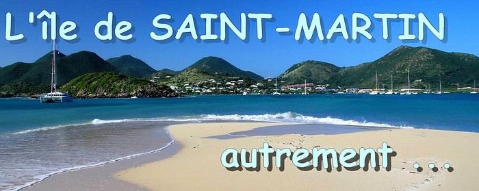 When it comes to the Caribbean island of Saint-Martin, it's customary to praise its coastline and dreamy beaches—and they certainly deserve it.
But in this story, I’d like to highlight other memories, aspects, and impressions for a slightly different change of scenery.
Enjoy the read—some text and, above all, lots of photos.
« Byenveni sou zile Sen Maten! » (Welcome to the island of Saint-Martin)
When it comes to the Caribbean island of Saint-Martin, it's customary to praise its coastline and dreamy beaches—and they certainly deserve it.
But in this story, I’d like to highlight other memories, aspects, and impressions for a slightly different change of scenery.
Enjoy the read—some text and, above all, lots of photos.
« Byenveni sou zile Sen Maten! » (Welcome to the island of Saint-Martin)

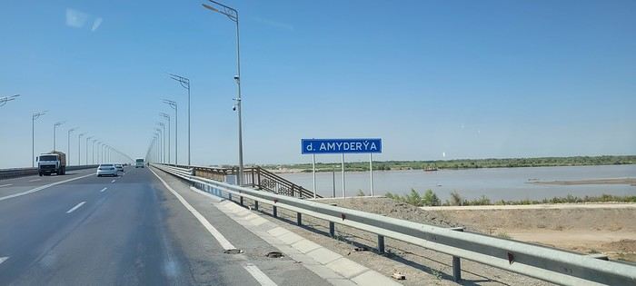
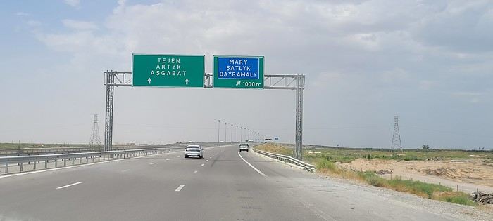

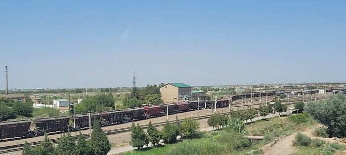
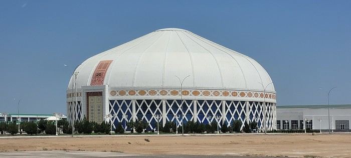
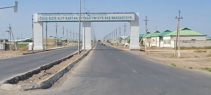
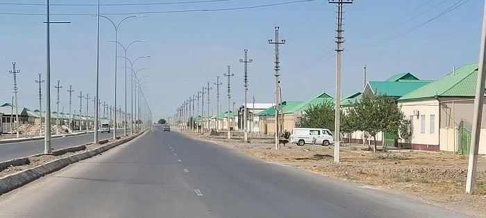 Roundabouts are particularly interesting because they feature emblems of Turkmen culture, like the dog, a carpet, the Ahal Teke horse, or Muslim symbols, even though the presence of Islamic artifacts is quite limited.


 Come along, I'm taking you to this country where it's so nice to wander and slow down...



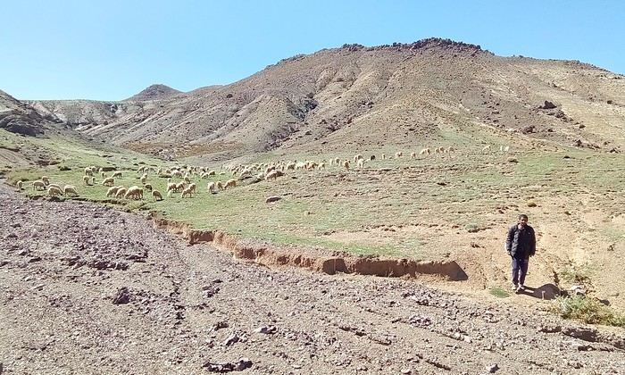
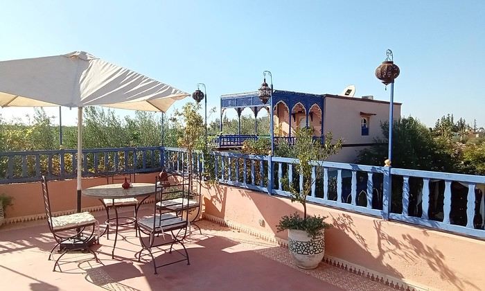
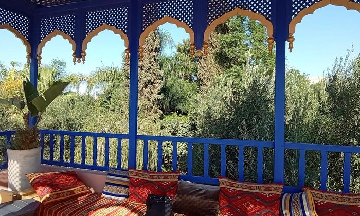 Last October, we landed in Marrakech to spend a few days with family exploring Morocco’s roads.
Transport: a rented Dacia.
Accommodations: small guesthouses.
Last October, we landed in Marrakech to spend a few days with family exploring Morocco’s roads.
Transport: a rented Dacia.
Accommodations: small guesthouses.
 The large solidified magma massifs that shape the heart of the island have created a large depression more protected from the sun at its center, allowing the growth of a vast laurel forest, today grouped within the Garajonay National Park, La Gomera’s green lung, which has earned it the status of a World Biosphere Reserve. Its completely European appearance contrasts sharply with the rocky and tropical landscapes of the rest of the island. Thus, the climate varies greatly from one point to another on the island: in summer, you can quickly go from a dry and sunny valley at 35°C to a humid forest area at altitude at 18°C.

 A little sneak peek?







 I’m inviting you on a stroll through my drawings—a completely subjective, far from exhaustive, and totally personal take, since it’s based on my own sketches. I put this travel journal together after returning in late 2024, mostly using felt-tip pens and pencils, with a few collages thrown in. I worked from our personal photos.
 And in Kyoto, Nishiki Market:
