Bonjour à tous,
Je me permets de vous solliciter afin d'avoir votre avis sur un petit trek dans le Tian Shan proposé par une agence ((Lien supprimé par l'administration de VoyageForum) pour ceux qui ont peut-être déjà utilisé leurs services???).
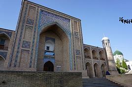
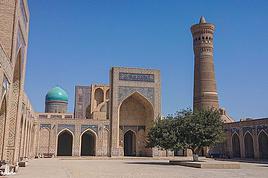
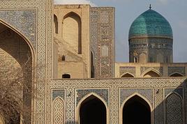
Certains d'entre vous connaissent-ils bien la région et est-ce que ça en vaut le détour? On m'a également proposé une ballade dans les Monts Nourata (Eski-Forish-Asraf-Okhum-Hayat...), en avez vous déjà entendu parlé?
Merci pour votre temps et vos précieux avis.
Jeremy
Day 1 – Karamazar village- Galvasay valley
After breakfast transfer by car to the trek starting point - mountain village Karamazar in Aksakata river valley (65km, 1,5 h, 850m). The trek starts with smooth ascent to the mountain ridge that divides Beldersay and Galvasay river valleys. Heading up on the ridge to the northeast, there are panoramic views of the river valleys with lush green vegetation mainly represented by walnuts, birch and other bush flora. Reaching the altitude of 1500m on the ridge, start descending towards the village of Uchterek. The route passes Uchterek from the east and continues the descent further to Galvasay river valley. Reach the camping area after a short walk up along the Galvasay riverbed.
Highest Altitude 1500m
Sleeping altitude 1250m
Distance 14km, 8 hours, ascent 650m, descent 250m
Day 2 – Galvasay - Big Chimgan Waterfall
In the morning, start the trekking from the campsite towards north-east aiming to reach the Archali Pass (1600m) of the mount Kiziljar. Reach the pass and take a look around to enjoy the stunning views of the surrounding mountains. From the Archali Pass, we will then continue generally to south-east on the ridge line towards the Chimgan Waterfall located on the foot of Great Chimgan Peak. There are great views of the mountains and Great Chimgan Peak throughout the day. Install the base camp at the foot of Big Chimgan mount.
Highest Altitude 1750m
Sleeping altitude 1750m
Distance 10km, 6 hours, ascent 500m
Day 3 – Gulkam Day Trip
Today we do day trekking from the base camp to Gulkam canyon – one of the most beautiful places in Western Tian-Shan. From the camp head up towards Gulkam Pass also known as Pesochniy Pass (1830 m). Once you are on the Pass start descending to Gulkam canyon. The descent from the pass to canyon requires participants more concentration as some stretches of the trail has loose and slippery ground. The 5-7 meters wide canyon meets hikers with vertical walls, several waterfalls and interesting stone formation. Having spent some time enjoying in the canyon, return to the base camp.
Highest Altitude 1830m
Sleeping altitude 1750m
Distance 10km, 6 hours, ascent 80m descend 300m
Day 4 – Chimgan Waterfall – Beldersay valley
Today we reach the highest point in our trek - the western side ridges of Great Chimgan peak. After breakfast, start heading up on the path to south-east getting ever closer to Great Chimgan. The trail that leads to the top of the ridgeline is considerably steep and requires more endurance from participants. Reach the ridge at the height of 2460m and enjoy the views of lush green Beldersay river valley. Take some time for a break before starting the descent to the ‘Beldersay Walls’ – the sources of Beldersay River. Beldersay is great for bird watching where bird species including White crowned Penduline-tit, Turkestan tits, Rufous naped tit as well as bird of prey such as Booted Gagle, Short-toed eagle, Eurasian Griffon Vultures and can be spotted. Walk down steam in the valley and reach the camping area.
Highest Altitude 2460m
Sleeping altitude 1730m
Distance 8km, 5 hours, ascent 710, descent 730m
Day 5 – Beldersay valley – Marble River
After breakfast, continue down in Beldersay valley and reach the last major accent- Urtakumbel Pass (1830m). Though Urtakumbel Pass drop down to picturesque marble River valley (1700m). Head down in the valley passing waterfall and reach the ending point of the trek (1500m). Meet by our driver and be transferred to Tashkent (82km/ 1,5- 2 hours)
Highest Altitude 1830m
Distance 6km, 4 hours, 100m ascent, descend 330m
Original post