★ 1 · last edited Dec 11, 2019
Curepipe
Location verified location
 Curepipe
Open the interactive map
Curepipe
Open the interactive map
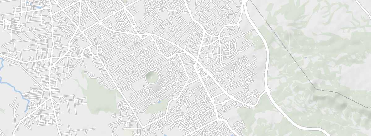
The second-largest city in Mauritius is located on the central plateau, amid sugarcane fields. You can see many beautiful Creole houses and buildings here, as well as the Trou-aux-Cerfs crater, which offers a lovely panoramic view of the area.
Overview of Curepipe
The second-largest city in Mauritius is located on the central plateau, in the region of sugarcane fields. You can see many beautiful houses and other "Creole" buildings here. The town is also home to the Trou-aux-Cerfs crater, which offers a lovely panoramic view of the surrounding area.
Key Details
- Type of place: city.
- Tourist interest: (worth a stop if you are in the area).
- Location:
- Distances:
- Local time: .
- Population: 79,014 (2011).
- Area: 24 km².
- Altitude: 561 m.