★ 3 · last edited Dec 11, 2019
Lava Route
Location verified location
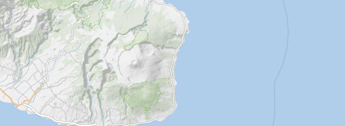 Lava Route
Open the interactive map
Lava Route
Open the interactive map
This section of the RN2, running from Saint-Philippe to Sainte-Rose in the south of the island, is one of the most beautiful on Réunion. Skirting the rugged coastline, it crosses the Grand Brûlé, a vast area where lava flows from the Piton de la Fournaise’s numerous eruptions have solidified.
Overview of the Lava Route
This section of the RN2, running from Saint-Philippe to Sainte-Rose in the south of the island, is one of the most beautiful on Réunion. Skirting the rugged coastline, it crosses the Grand Brûlé, a vast area where lava flows from the Piton de la Fournaise’s numerous eruptions have solidified.
Landmarks
- Type of place: scenic route.
- Tourist interest: (recommended).
- Theme: scenic route.
- Location:
- Local time:
- Main towns:
- Length: approximately 30 km.
- Altitude: sea level.
- Website: www.reunion.fr/lava-route
The route
What to see and do
Itinerary
Nearby
Climate and weather
Transport
Getting there
Getting around
Accommodation
Food
- == Additional information