★ 3 · last edited Aug 11, 2020
Les Saintes
Contributionsversion #3created Aug 11, 2020Report this pageLatest contributions in this guideContributors to this guide
Location verified location
 Les Saintes
Open the interactive map
Les Saintes
Open the interactive map
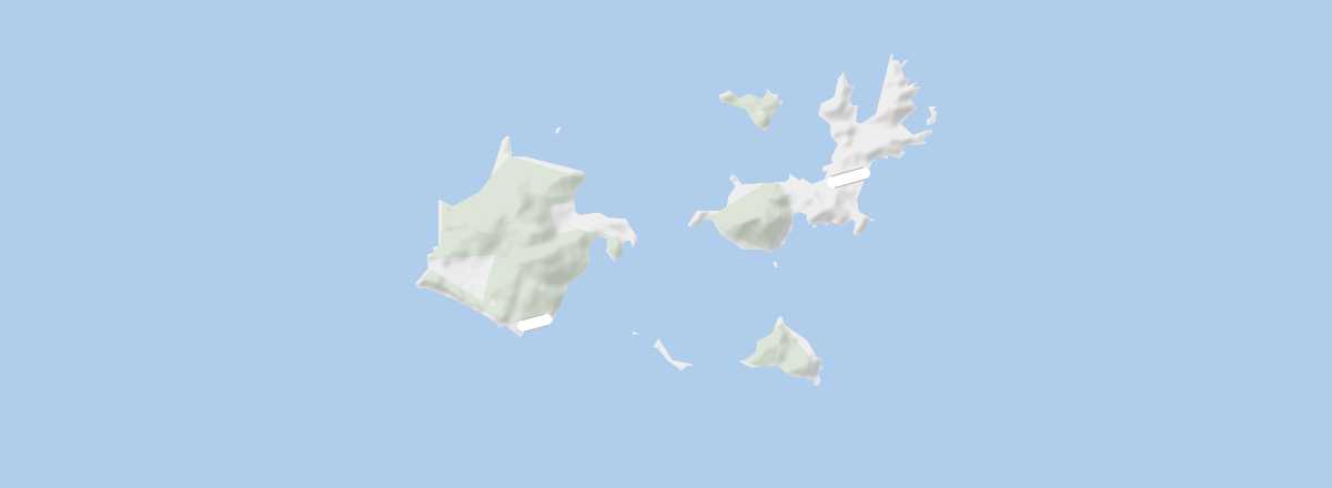
This stunning small archipelago has developed its own culture tied to the origins of its settlers from western France. But Les Saintes, with its two main islands, Terre-de-Haut and Terre-de-Bas, is also home to one of the most beautiful bays in the Antilles and traces of its past in Caribbean history.
Overview
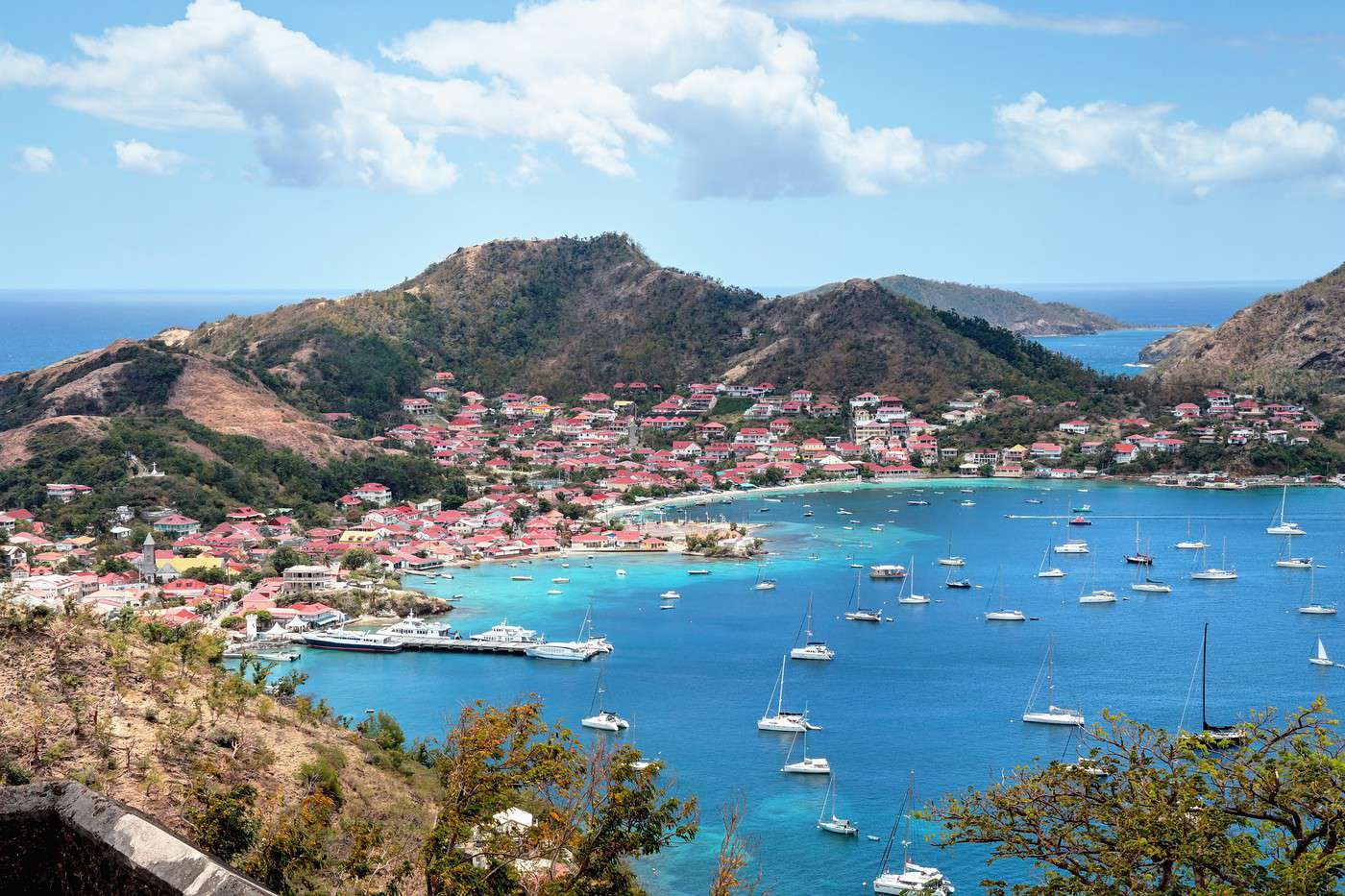
This stunning small archipelago has developed its own culture tied to the origins of its settlers from western France. But Les Saintes, with its two main islands, Terre de Haut and Terre-de-Bas, is also home to one of the most beautiful bays in the Antilles and traces of its past in Caribbean history.
Key facts
- Location: south of Basse Terre, east of Marie Galante.
- Distances: Basse Terre (15 km to the north), La Désirade (70 km to the northeast), Marie-Galante (30 km to the east).
- Area: 13 km².
- Population: 2,619 inhabitants (2016).
- Highest point: Morne du Chameau (309 m).
- Interest of the place: (recommended).
- Website: http://www.lessaintes.fr
History of Les Saintes
Geography and environment
Culture and economy
What to see in Les Saintes
Terre-de-Bas
The larger of the two Îles des Saintes (as well as a commune), with its small villages and beaches.
The larger of the two Îles des Saintes (as well as a commune), with its small villages and beaches.
Terre de Haut
The second island of Les Saintes, with municipal status, boasts one of the most beautiful bays in the Antilles and several beaches. You can hike there and visit the ruins of Fort Napoléon.
The second island of Les Saintes, with municipal status, boasts one of the most beautiful bays in the Antilles and several beaches. You can hike there and visit the ruins of Fort Napoléon.
What to do in Les Saintes
Climate and weather
Les Saintes has a tropical climate, tempered by the trade winds. Though located between "mainland" Guadeloupe and Dominica, the archipelago’s climate differs from its neighbors, being hotter and drier.
Sea temperature throughout the year
| Jan. | Feb. | Mar. | Apr. | May | Jun. | Jul. | Aug. | Sep. | Oct. | Nov. | Dec. | |
|---|---|---|---|---|---|---|---|---|---|---|---|---|
| Les Saintes | 25 | 25 | 25 | 26 | 26 | 27 | 28 | 28 | 28 | 28 | 27 | 26 |
Transport
Getting there
The archipelago is connected to Guadeloupe by a system of maritime shuttles. In high season, services may be increased or additional routes offered. Local providers also offer private transfers or excursions to the island.
- Babou One/Sademar: the company operates a daily boat between Les Saintes and Marie Galante.
- L'Express des Iles: two round trips per week for 26 € one-way or 43 € return from/to Pointe-à-Pitre.
- Jeans for Freedom: three round trips per week starting at 19 € per trip from/to Pointe-à-Pitre.
- Val Ferry: the company operates from Trois-Rivières with one or two daily trips. It also offers a combined Les Saintes + Marie Galante pass.
Getting around
Scooters, bicycles (though the terrain is hilly), and walking are the main ways to get around this, the smallest territory in Guadeloupe. A maritime shuttle connects the two main islands, Terre-de-Haut and Terre-de-Bas.
Accommodation
Food
Useful addresses
Additional information
Recommended
Terre de Haut
★★★ The second island of Les Saintes, with municipal status, boasts one of the most beautiful bays in the Antilles and several beaches. You can…
Worth a look / Other
Terre-de-Bas
★ The larger of the two Îles des Saintes (as well as a commune), with its small villages and beaches.