★ 1 · last edited Dec 11, 2019
Los Mochis
Location verified location
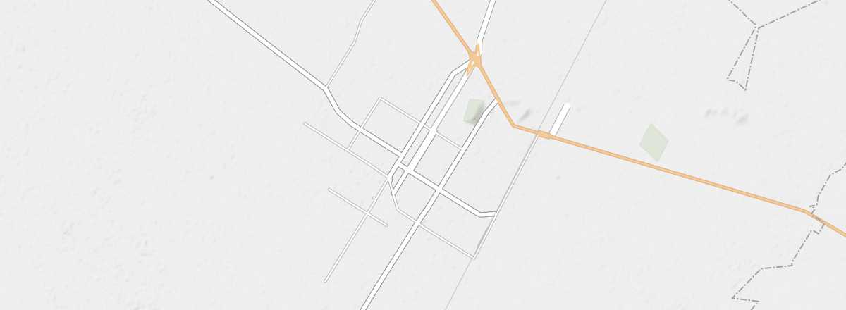 Los Mochis
Open the interactive map
Los Mochis
Open the interactive map
Pacific coast city known as the terminus of the Chihuahua al Pacifico train (670 km), connecting it to Chihuahua via the stunning landscapes of Copper Canyon. It also serves as a ferry crossing point across the Gulf of California to Baja California Sur (La Paz).
Overview of Los Mochis
It’s a Pacific coast city known as the terminus of the Chihuahua al Pacifico Railway (670 km), which connects it to the city of Chihuahua via the breathtaking landscapes of Copper Canyon. You can also cross the Gulf of California by ferry to Baja California (La Paz).
Key Facts
- Type de lieu: city.
- Intérêt touristique: (worth a stop if you are in the area).
- Localisation:
- Distances:
- Heure locale: .
- Population: 256,613 inhabitants (2010).
- Superficie: 61 km².
- Altitude: 10 m.
- Site internet: http://www.visitlosmochis.com.mx