I didn't dare climb to the top of Jebel Haroun (Mount Aaron) alone to see Aaron's mausoleum (Moses' brother). It peaks at 1,396m, the highest summit in Petra. But the altitude and the 500m elevation gain were too much for a guy from Landes like me...
The white dome of the mausoleum is visible from the High Place of Sacrifice. A young trinket seller still encouraged me to go... while I was enjoying the view from up there...
Instead, after crossing the plateau and arriving via the wadi just behind the small museum (just before the first steps up to the Monastery), and on my way back toward the Roman temple, I headed to the Tomb of Sextius Florentinus (cutting through the Byzantine churches—well, what's left of them), then continued to other tombs farther away. To get there, a path carved into bicolor rock like white marble veined with red. And there I was, all alone, 2 or 3 km (or a bit more?) from the main path.
Alone again late in the morning in a small cluster of tombs just a few hundred meters from the Roman soldier's tomb (coming down from the High Place of Sacrifice).
Did you see the obelisks on the way up?
On my way back from this fourth day, I stopped one last time in front of the Treasury—just as stunning from the terrace as from above, whether from the viewpoint accessible by the stairs or the passage to the right of the terrace (another viewpoint, but less impressive than the one by the stairs). And in the Siq, I once more admired the caravan (well, what's left of it) carved into the rock, the Merou-headed rock, and had fun watching all those groups of tourists and pilgrims (since there were lots of French, Spanish, and Italian pilgrimage groups).
For Wadi Rum, I had booked a hot-air balloon ride. But no luck—the unpredictable weather (too much wind) didn’t allow the flight...
Leaving the village, just before taking the desert highway, we stopped at Wadi Rum station. A train from the Ottoman era, the model attacked by Sir Lawrence, was stationed there. A steam locomotive, wooden wagons... you could almost imagine it... just missing Lawrence’s attack with his coalition of Arab troops.
I didn’t mention it, but reading your posts is such a treat! Thanks for these great moments!
Ph.
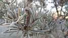
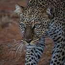
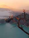
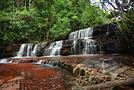

In the summer of 2026, we packed our backpacks again to wander around Jotunheimen National Park in Norway.
We’d never heard of this park just a few months earlier—it was through browsing online threads that we discovered it.
Touted as the most mountainous park in the country, it really caught our eye after scrapping our original plan further north.
Unfortunately, it’s also the most crowded, which immediately made us less enthusiastic! The presence of the highest peak in the Scandinavian Alps and the "famous" Bessengen ridge (famous because it’s clearly well-known across the country) probably has a lot to do with that.
After managing to avoid the crowds on the Kungsleden trails by camping away from the huts and timing our hike to miss the biggest groups of walkers, we figured we had the formula down and gave in to the call of the Norwegian mountains.
It’s the most mountainous, but also quite challenging in terms of progress, as we’d soon find out during the trek. And with uncooperative weather, we got the winning combo of a demanding trek. But I’m getting ahead of myself...
For the end of the trip, we planned a few days in Dovrefjell National Park—since these two parks are easily connected by public transport—to see something different and (most importantly) to try and spot the musk oxen that live there.
Tue 04/08 - Arrival in Oslo Wed 05/08 - Bygdin – Torfinsbu Thu 06/08 - Torfinsbu - Gjendebu Fri 07/08 - Gjendebu - Fondsbu Sat 08/08 - Round trip to Slotafjellet Sun 09/08 - Round trip to Lake Kvitevatnet Mon 10/08 - Fondsbu - Gjendebu Tue 11/08 - Gjendebu - Before the Bessengen ridge Wed 12/08 - Bessengen ridge – Maurvangen campsite Thu 13/08 - Knutshoe ridge Fri 14/08 - Bus transfer to Spiterstulen hut via Lom Sat 15/08 - Round trip to Galdhøppigen
Coming soon: Dovrefjell



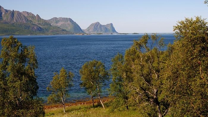
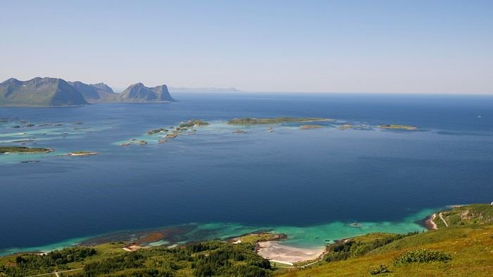
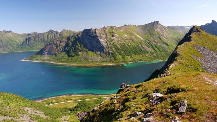
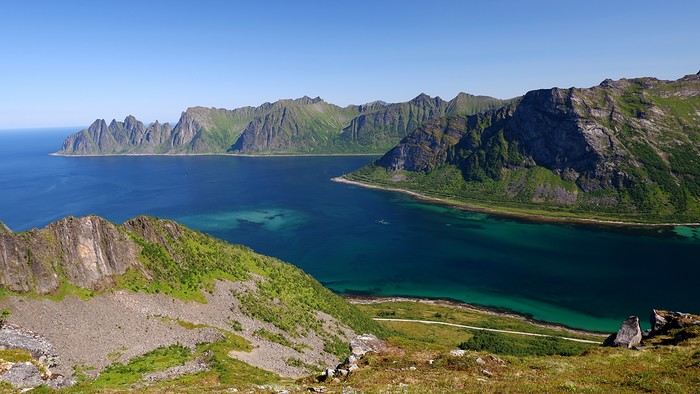

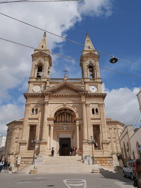
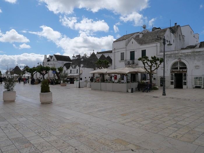

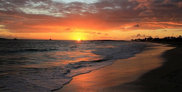
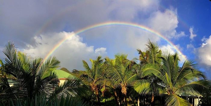
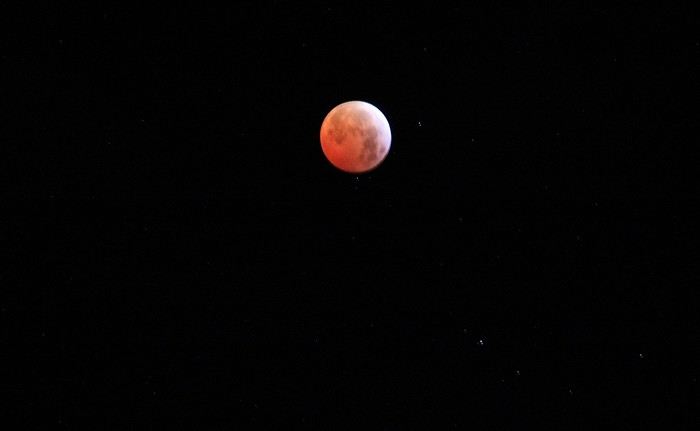
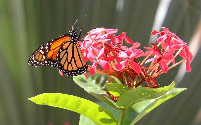
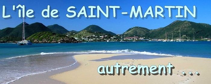 When it comes to the Caribbean island of Saint-Martin, it's customary to praise its coastline and dreamy beaches—and they certainly deserve it.
But in this story, I’d like to highlight other memories, aspects, and impressions for a slightly different change of scenery.
Enjoy the read—some text and, above all, lots of photos.
« Byenveni sou zile Sen Maten! » (Welcome to the island of Saint-Martin)
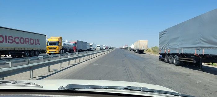
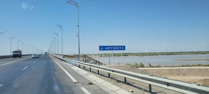
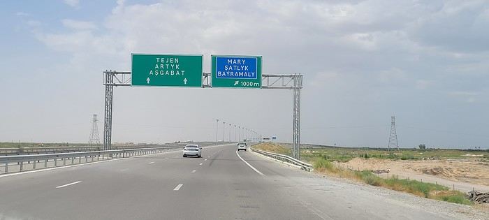
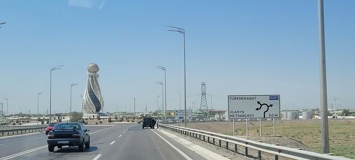
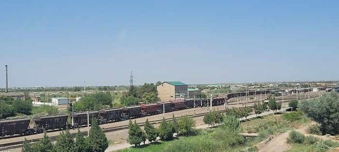
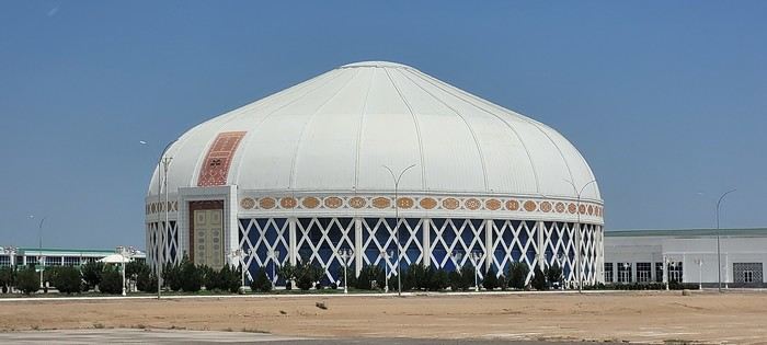
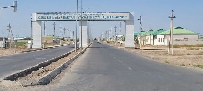
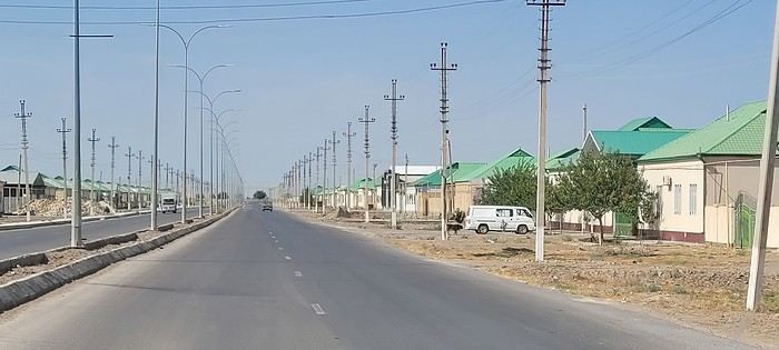 Roundabouts are particularly interesting because they feature emblems of Turkmen culture, like the dog, a carpet, the Ahal Teke horse, or Muslim symbols, even though the presence of Islamic artifacts is quite limited.
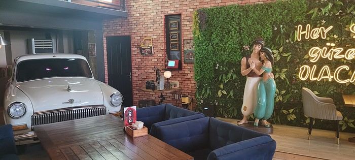

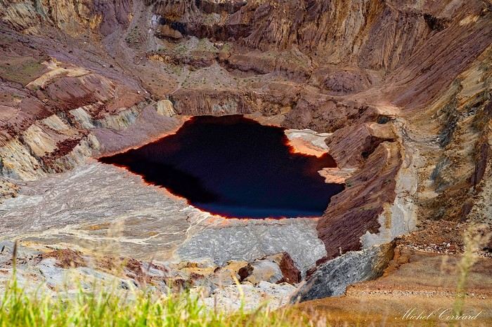
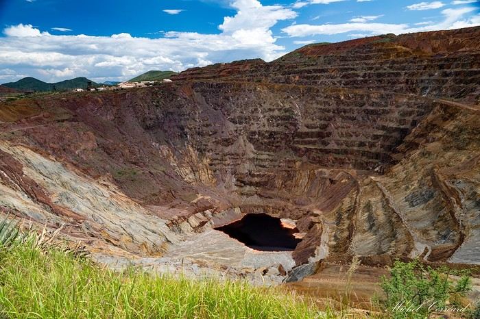
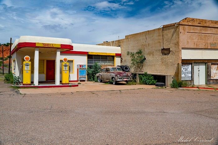
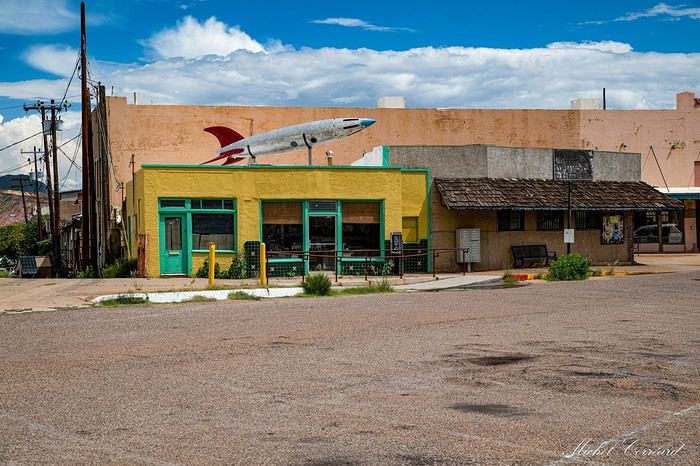
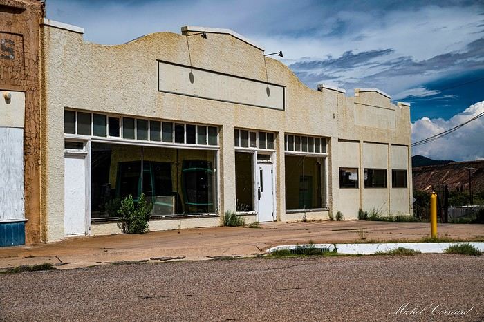
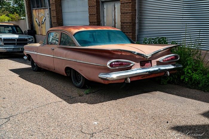
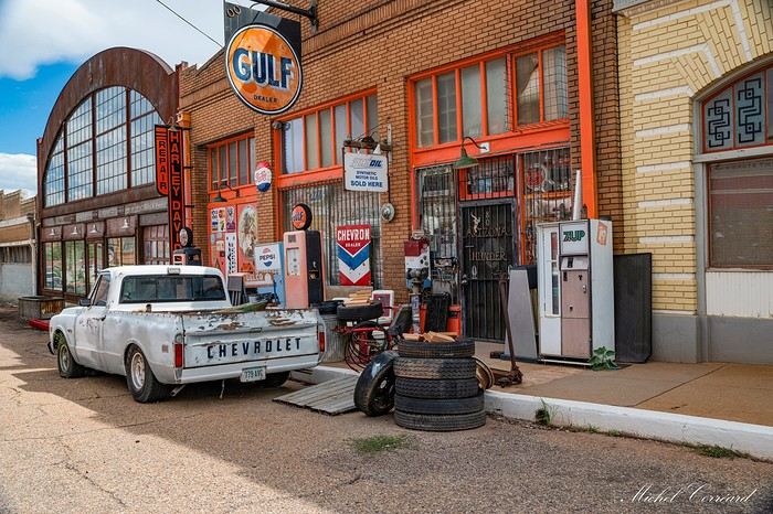
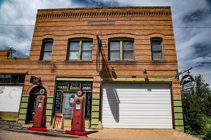
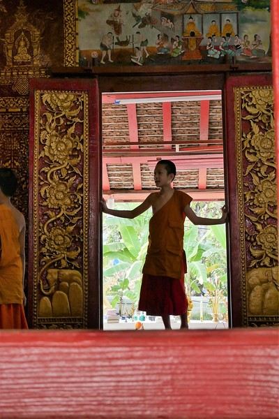 Come along, I'm taking you to this country where it's so nice to wander and slow down...
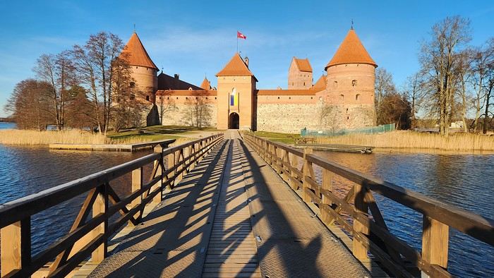
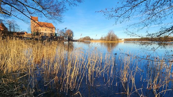
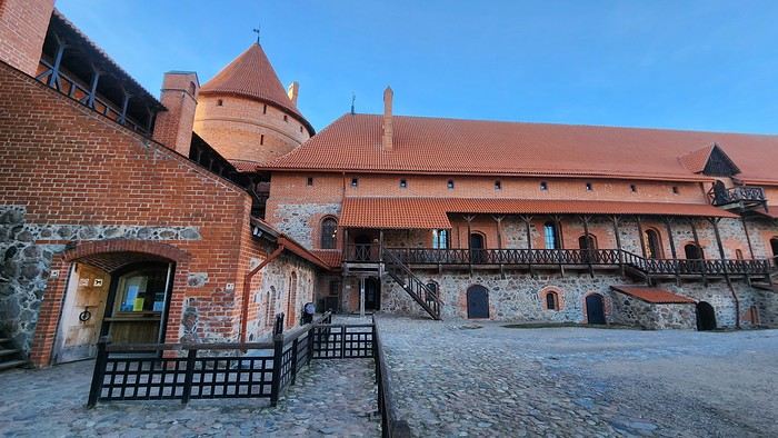
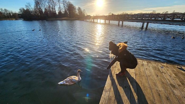

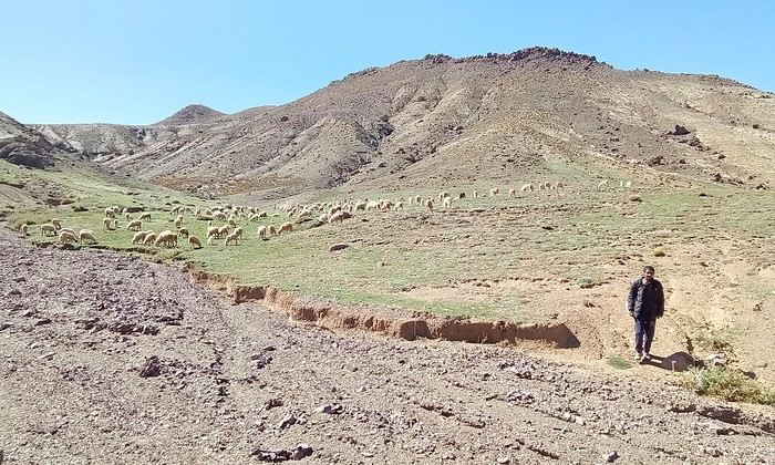
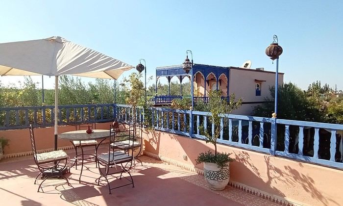
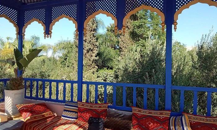 Last October, we landed in Marrakech to spend a few days with family exploring Morocco’s roads.
Transport: a rented Dacia.
Accommodations: small guesthouses.
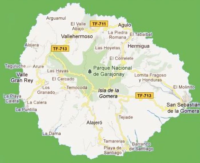 The large solidified magma massifs that shape the heart of the island have created a large depression more protected from the sun at its center, allowing the growth of a vast laurel forest, today grouped within the Garajonay National Park, La Gomera’s green lung, which has earned it the status of a World Biosphere Reserve. Its completely European appearance contrasts sharply with the rocky and tropical landscapes of the rest of the island. Thus, the climate varies greatly from one point to another on the island: in summer, you can quickly go from a dry and sunny valley at 35°C to a humid forest area at altitude at 18°C.
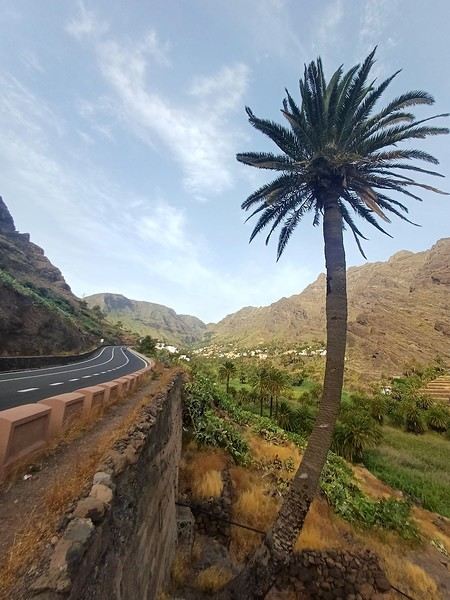
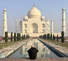
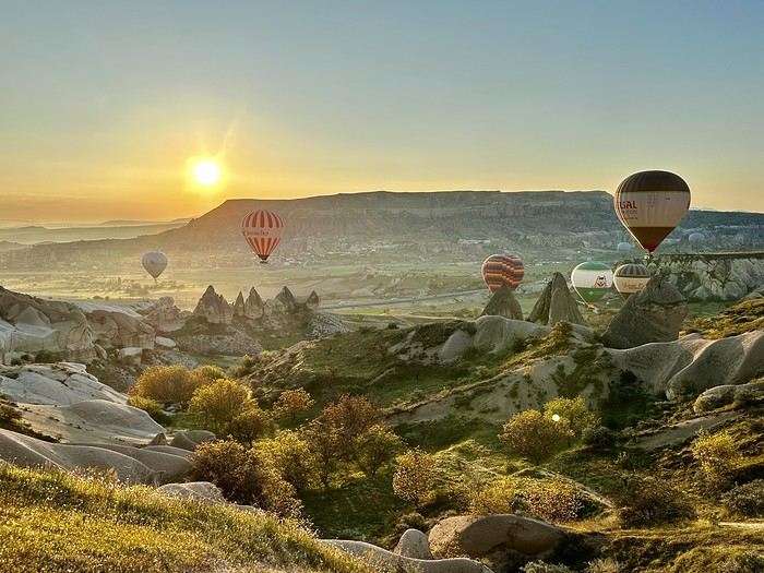 A little sneak peek?
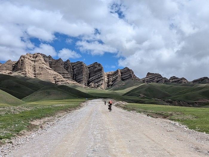
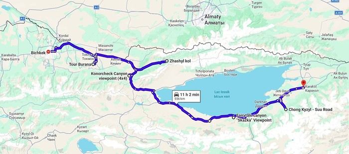
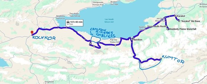
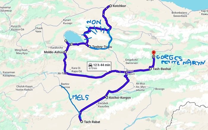
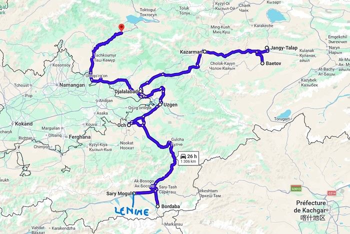


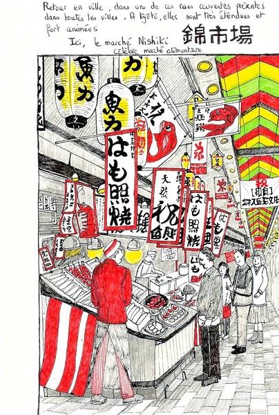
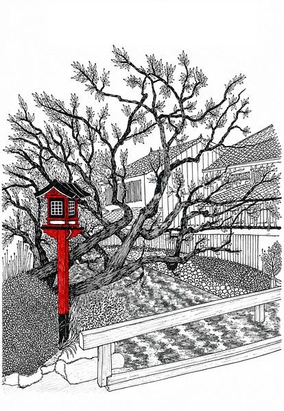 I’m inviting you on a stroll through my drawings—a completely subjective, far from exhaustive, and totally personal take, since it’s based on my own sketches. I put this travel journal together after returning in late 2024, mostly using felt-tip pens and pencils, with a few collages thrown in. I worked from our personal photos.
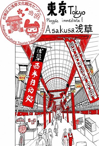
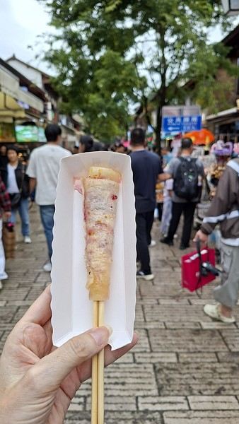
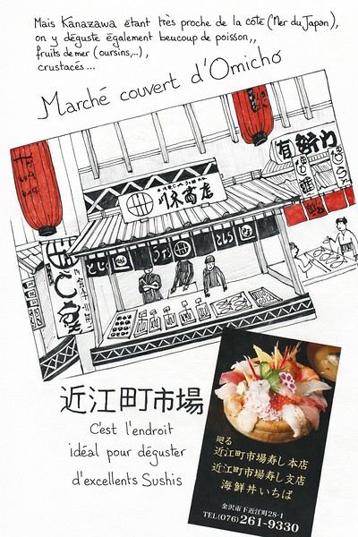 And in Kyoto, Nishiki Market: