

After a first trip in 2009 (already!) where, roughly, we did a circuit passing through Hazyview, a private reserve in Sabi Sands, Santa Lucia and Isimangaliso, Hluhluwe and the South African part of Kgalagadi Transfrontier Park, then a quick stop in 2013 to go to Lesotho, we wanted to come back to this country.
Why not the Cape region this time, but there was no way we were coming back to this part of the world without going on a safari. Mountain Zebra or the Karoo seem more about landscapes than animals, and Addo doesn’t excite me much either... So it’ll be Kruger.
Flight prices, schedules, and durations led us to a Paris-Cape Town, return Johannesburg-Paris with British Airways, via Heathrow.
Now we just had to figure out how to fit in quite a few things without driving too many kilometers or changing accommodation every day, at least in the Cape region. Here’s what we ended up with:
Arrival in Cape Town on Saturday, October 10 at 11 AM
2 nights in Hermanus
1 night in Franschhoek
2 nights at Mountceder in the Cederberg
3 nights in Hout Bay
Sunday: transition day—flight to Johannesburg, drive toward Kruger, night in Lydenburg.
Kruger: 1 night in Letaba, 2 in Satara, 1 in Lower Sabie.
Last night in Mbombela (formerly Nelspruit) before heading back to the airport for an early evening return flight.
For those who want to read the full story without interruptions, it’s here.
Friday, 10/9
A pretty stressful departure.
First, I woke up in the middle of the night, convinced I’d swapped my first and last names during check-in 🤪... Couldn’t get back to sleep, even though I knew British Airways wouldn’t answer before 9 AM.
Well, for them, everything was fine... but then they started talking about ETA... an ETA for England 😮? ?? Yes, it’s recent. Apparently, you don’t need one for an air-to-air transit... but you never know, it’s better to have it just in case. No one could give me a clear answer that it wasn’t necessary. In the end, we didn’t get it... and we didn’t need it.
But here’s the thing: our flight ended up leaving Paris 45 minutes late (10 minutes due to a schedule change and 35 minutes of actual delay), so our 2-hour layover shrank to 1 hour and 15 minutes. That should be doable, right? The board showed our flight at Gate B: great, it’s right next door! But at Gate B, three employees were just there to tell everyone who showed up that security had to be done at Gate A... and off we went, sprinting through the corridors, endless escalators going up and down, a little shuttle ride, security at Gate A ("You’re going to be cutting it close!" Oh really? 😠), then pretty much the same route back, only to end up just a few dozen meters from where we started! 😠
Boarding was already well underway, and after all that running, we were hot and thirsty, but phew! We made it onto the plane!
Saturday, 10/10 On the other hand, nothing to complain about on this London-Cape Town flight—it arrived early!
I booked a (small) Suzuki S-Presso because it seemed to have a higher ground clearance than its competitors. Unfortunately, we ended up with a Tata Tiago (yes, it exists), which is lower (and also smaller, with an even more sluggish engine... yes, we were able to compare because in Johannesburg, we *did* get an S-Presso). Somehow, we managed to fit everything in the trunk ("Whatever you do, don’t leave anything visible!") and off we went to our first accommodation in Hermanus, under a glorious sun.
Nikki welcomed us warmly, explained what there was to see in the area, and advised us to book a restaurant for that evening.
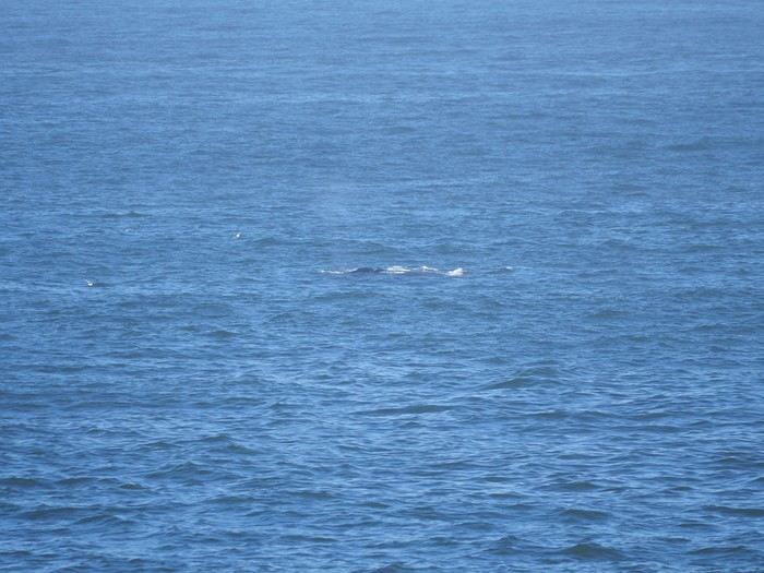
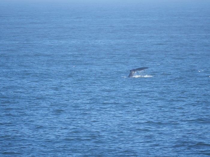
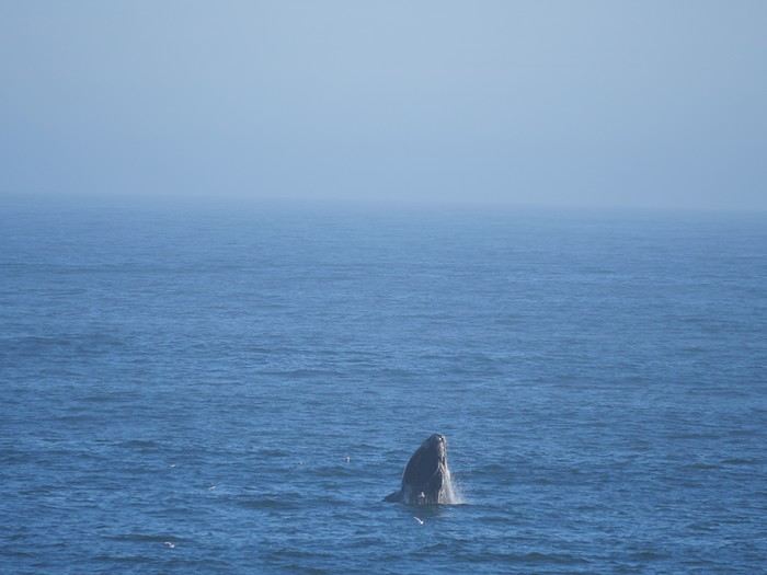
After dropping off our bags, we headed to the "cliff path," just 3 minutes from our place. This part of the coast is famous for its southern right whales from June to November. Let’s cut to the chase: there *were* whales, but they were very far away and very sleepy 😕. At best, we saw (photos taken at 600mm): A few ripples or a faint spray,
a bit of tail...
...or a bit of head.
Too bad—the owner of our next accommodation told us she’d seen around thirty of them up close here in early September.
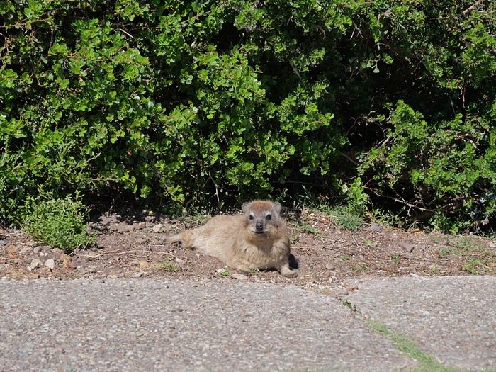
With no whales in sight, the dassies (or rock hyraxes) were everywhere... and fun to watch.
The other local star (when there are no whales 😏)
Why not the Cape region this time, but there was no way we were coming back to this part of the world without going on a safari. Mountain Zebra or the Karoo seem more about landscapes than animals, and Addo doesn’t excite me much either... So it’ll be Kruger.
Flight prices, schedules, and durations led us to a Paris-Cape Town, return Johannesburg-Paris with British Airways, via Heathrow.
Now we just had to figure out how to fit in quite a few things without driving too many kilometers or changing accommodation every day, at least in the Cape region. Here’s what we ended up with:
Arrival in Cape Town on Saturday, October 10 at 11 AM
2 nights in Hermanus
1 night in Franschhoek
2 nights at Mountceder in the Cederberg
3 nights in Hout Bay
Sunday: transition day—flight to Johannesburg, drive toward Kruger, night in Lydenburg.
Kruger: 1 night in Letaba, 2 in Satara, 1 in Lower Sabie.
Last night in Mbombela (formerly Nelspruit) before heading back to the airport for an early evening return flight.
For those who want to read the full story without interruptions, it’s here.
Friday, 10/9
A pretty stressful departure.
First, I woke up in the middle of the night, convinced I’d swapped my first and last names during check-in 🤪... Couldn’t get back to sleep, even though I knew British Airways wouldn’t answer before 9 AM.
Well, for them, everything was fine... but then they started talking about ETA... an ETA for England 😮? ?? Yes, it’s recent. Apparently, you don’t need one for an air-to-air transit... but you never know, it’s better to have it just in case. No one could give me a clear answer that it wasn’t necessary. In the end, we didn’t get it... and we didn’t need it.
But here’s the thing: our flight ended up leaving Paris 45 minutes late (10 minutes due to a schedule change and 35 minutes of actual delay), so our 2-hour layover shrank to 1 hour and 15 minutes. That should be doable, right? The board showed our flight at Gate B: great, it’s right next door! But at Gate B, three employees were just there to tell everyone who showed up that security had to be done at Gate A... and off we went, sprinting through the corridors, endless escalators going up and down, a little shuttle ride, security at Gate A ("You’re going to be cutting it close!" Oh really? 😠), then pretty much the same route back, only to end up just a few dozen meters from where we started! 😠
Boarding was already well underway, and after all that running, we were hot and thirsty, but phew! We made it onto the plane!
Saturday, 10/10 On the other hand, nothing to complain about on this London-Cape Town flight—it arrived early!
I booked a (small) Suzuki S-Presso because it seemed to have a higher ground clearance than its competitors. Unfortunately, we ended up with a Tata Tiago (yes, it exists), which is lower (and also smaller, with an even more sluggish engine... yes, we were able to compare because in Johannesburg, we *did* get an S-Presso). Somehow, we managed to fit everything in the trunk ("Whatever you do, don’t leave anything visible!") and off we went to our first accommodation in Hermanus, under a glorious sun.
Nikki welcomed us warmly, explained what there was to see in the area, and advised us to book a restaurant for that evening.
After dropping off our bags, we headed to the "cliff path," just 3 minutes from our place. This part of the coast is famous for its southern right whales from June to November. Let’s cut to the chase: there *were* whales, but they were very far away and very sleepy 😕. At best, we saw (photos taken at 600mm): A few ripples or a faint spray,
a bit of tail...
...or a bit of head.
Too bad—the owner of our next accommodation told us she’d seen around thirty of them up close here in early September.
With no whales in sight, the dassies (or rock hyraxes) were everywhere... and fun to watch.
The other local star (when there are no whales 😏)
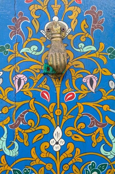

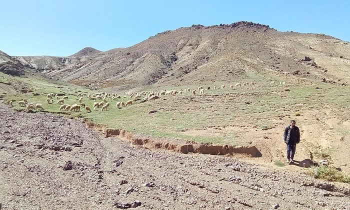
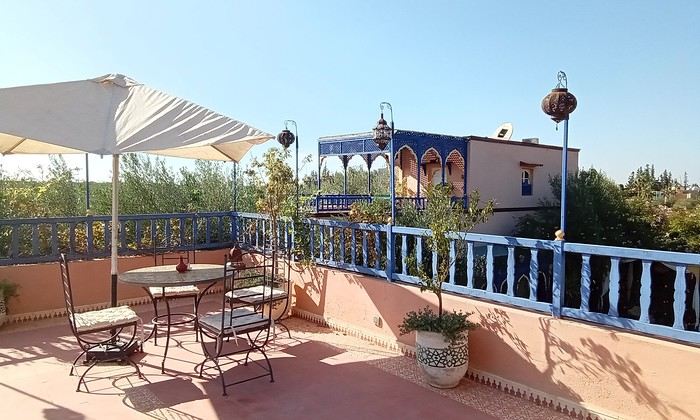
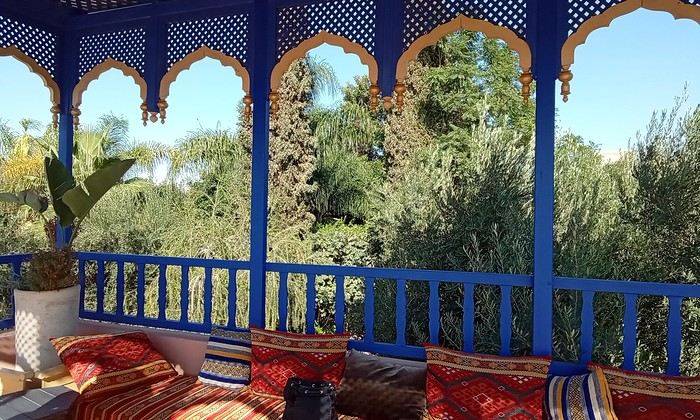 Last October, we landed in Marrakech to spend a few days with family exploring Morocco’s roads.
Transport: a rented Dacia.
Accommodations: small guesthouses.
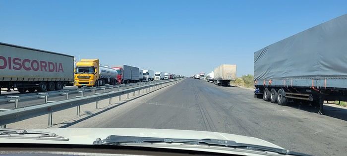
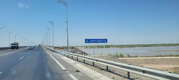
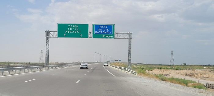
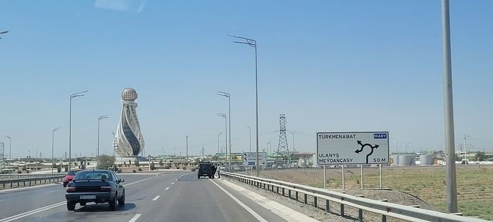
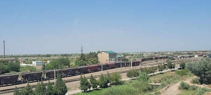
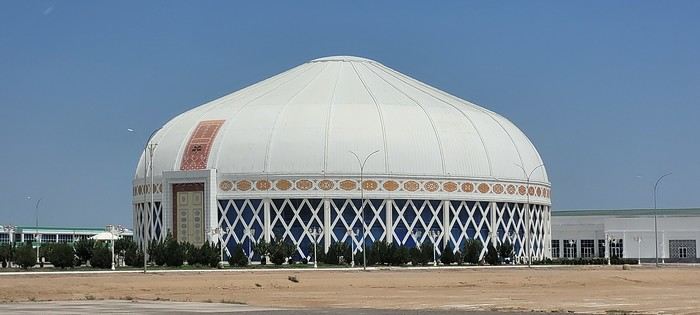
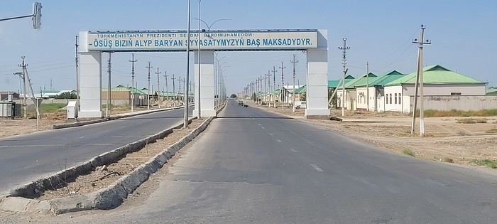
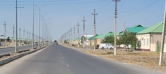 Roundabouts are particularly interesting because they feature emblems of Turkmen culture, like the dog, a carpet, the Ahal Teke horse, or Muslim symbols, even though the presence of Islamic artifacts is quite limited.




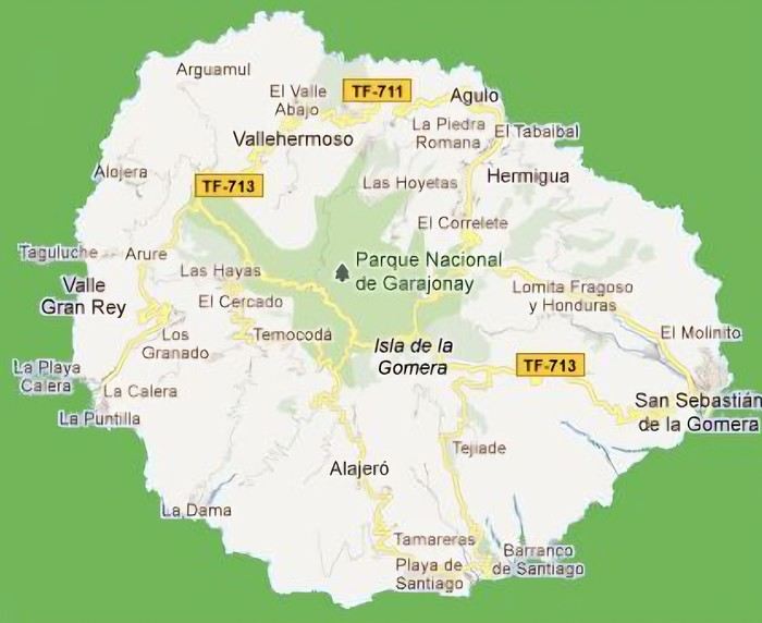 The large solidified magma massifs that shape the heart of the island have created a large depression more protected from the sun at its center, allowing the growth of a vast laurel forest, today grouped within the Garajonay National Park, La Gomera’s green lung, which has earned it the status of a World Biosphere Reserve. Its completely European appearance contrasts sharply with the rocky and tropical landscapes of the rest of the island. Thus, the climate varies greatly from one point to another on the island: in summer, you can quickly go from a dry and sunny valley at 35°C to a humid forest area at altitude at 18°C.
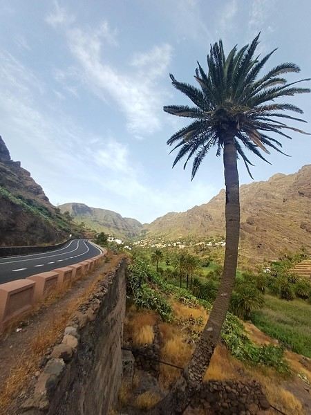

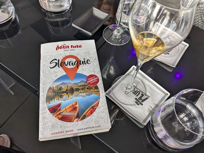 Why this country?
After visiting Hungary, Slovenia, Romania, and Poland in recent years, I’ve fallen in love with Eastern European countries. I adore the Slavic soul, its Austro-Hungarian villages, the gentle landscapes, the Carpathian Mountains, and that slightly mysterious atmosphere.
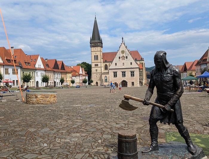
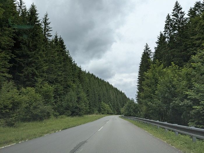
Slovakia evokes a certain imagination with its deep forests, medieval castles, and cobbled villages.
After seeing photos of the High Tatras—especially Lake Štrbské Pleso and Spiš Castle—I thought, "Let’s do it! We’re going!"
So, will Slovakia live up to what I imagine?
We’ll find out together.
We decided to travel as a group of six (five adults and a six-year-old child), by car (we needed two).
Here’s the day-by-day itinerary for this family trip, which started with a 3-day stay in Vienna (see the dedicated travel journal):
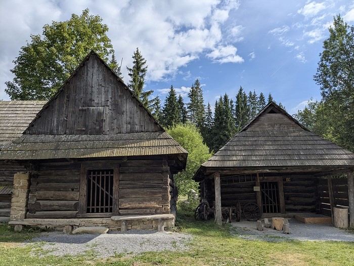
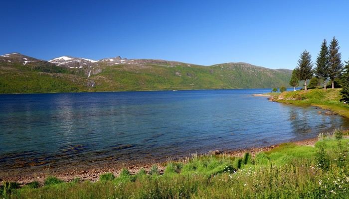
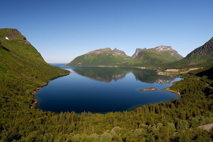
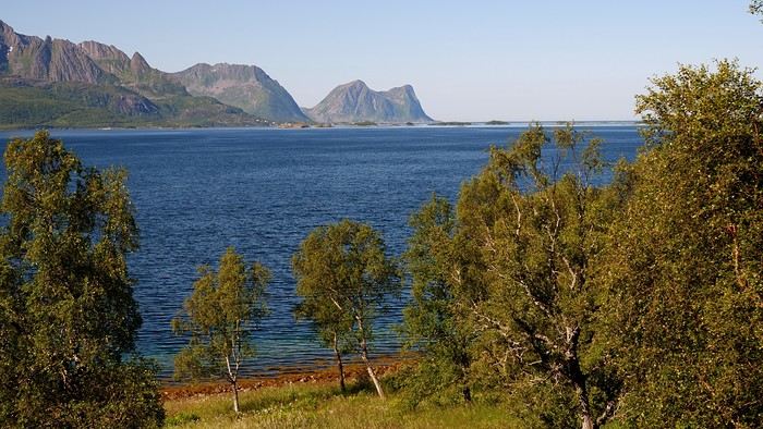
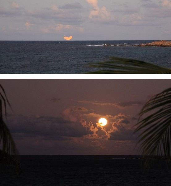
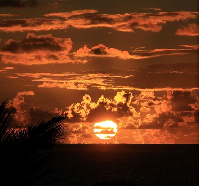
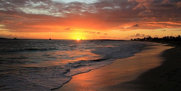
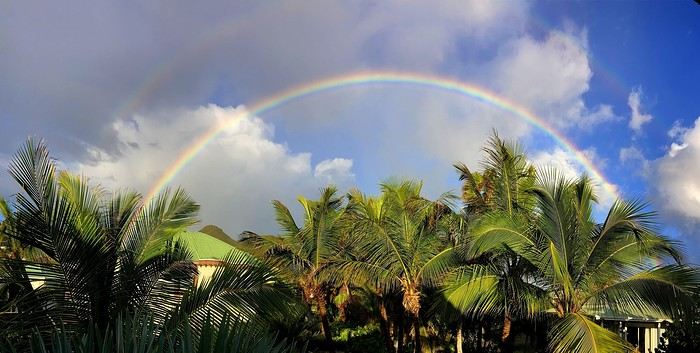
 When it comes to the Caribbean island of Saint-Martin, it's customary to praise its coastline and dreamy beaches—and they certainly deserve it.
But in this story, I’d like to highlight other memories, aspects, and impressions for a slightly different change of scenery.
Enjoy the read—some text and, above all, lots of photos.
« Byenveni sou zile Sen Maten! » (Welcome to the island of Saint-Martin)