Hello! 🙂
Katia: Meeting that charming old man was such a special moment! Everything came together to make it really intense.
Jean Luc: Good thing there are pros to correct our mistakes. Thanks, Jean Luc, for the fix and the details. I’ll have to double-check what I write since we’re in this Colorado you know so well 😉
Françoise: It’s easy when the scenery is stunning and the weather’s perfect!!! Much harder when the conditions aren’t ideal.
Martine 🙂

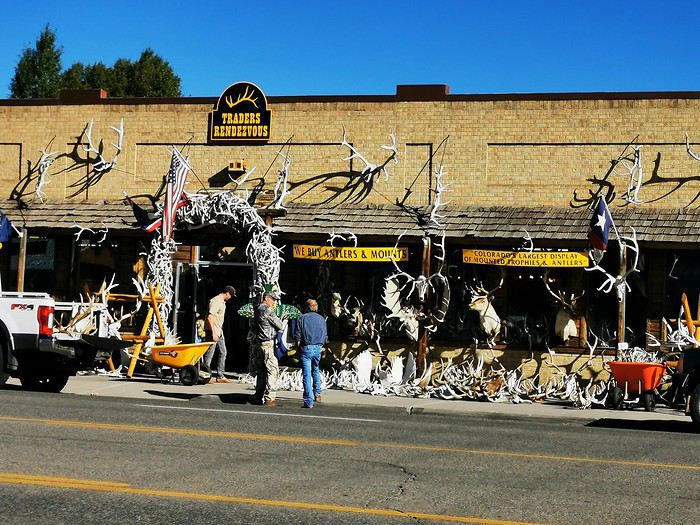
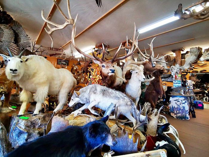

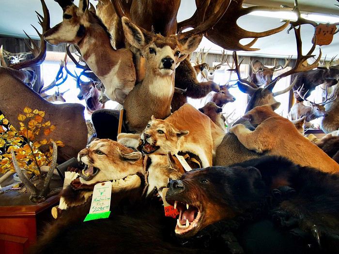
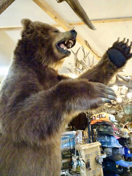 and others that are more unexpected: crocodile, lion, zebra...
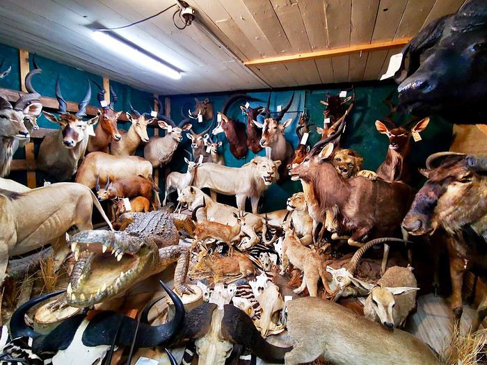 We wander around this jumble where, of course, guns are also for sale.
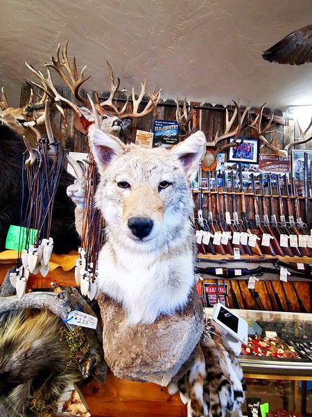 The saleswoman assures us that most of these animals came from road accidents. Mimi and I prefer to take her word for it without asking too many questions.
The only interesting thing about this store was the chance to see certain species up close.
Once again, we realize how kind Americans are when a passerby, thinking our vehicle had broken down, offers to call the rental agency for DD and Maumau.
We cross a pass at nearly 3,500 meters while driving through Monarch Park.
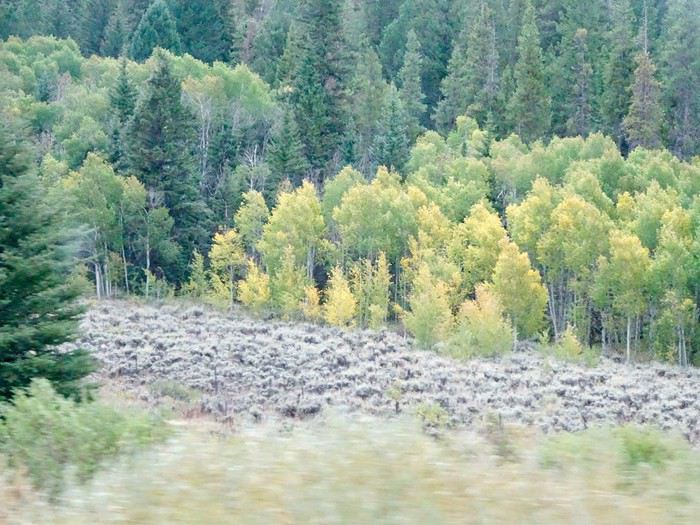
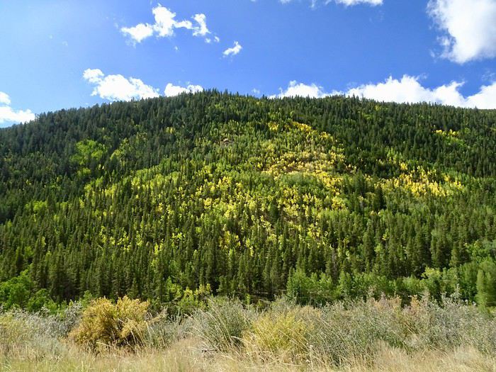
The trees are starting to turn yellow—you can really tell fall is just around the corner.
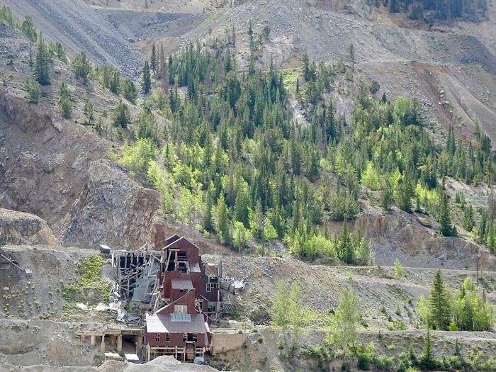
 The landscape of prairies and pinnacles has given way to a mountainous scene with ruins of old buildings.
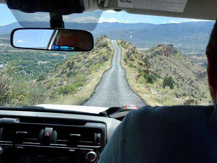
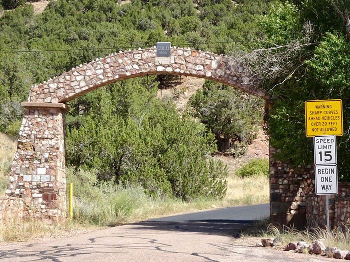 This 5 km road, super narrow and without guardrails, was built by convicts in 1905.
The climb is smooth. It rises gently.
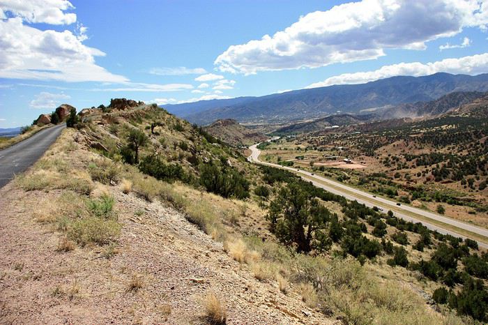 Then it winds in a gentle slope, dropping like a roller coaster onto the ridge 240 m above the ground.
In the photo below, you can really see the road’s path—good grief, it’s not wide!!!
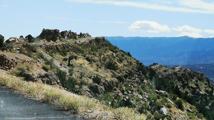
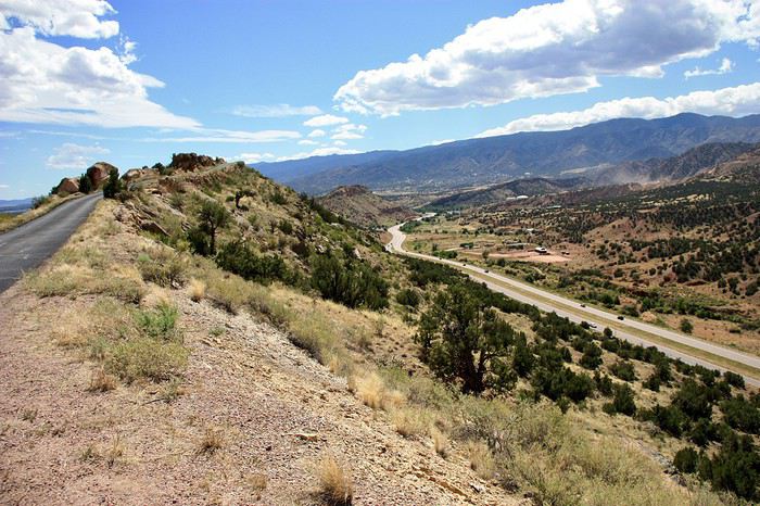
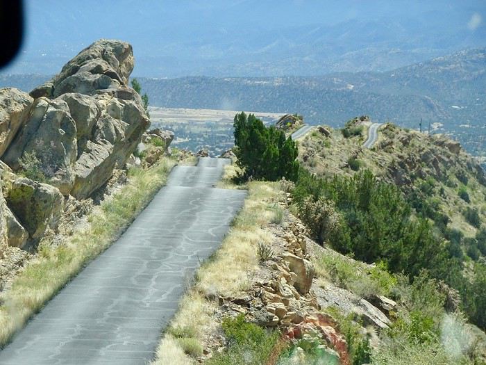 That’s where the ordeal begins.
The precipice on both sides—Maumau is glued to the wheel, a hushed silence fills the car. Mimi is terrified, but she’s not the only one—everyone’s clenching and feeling uneasy!!! Adrenaline rush and guaranteed chills!!!
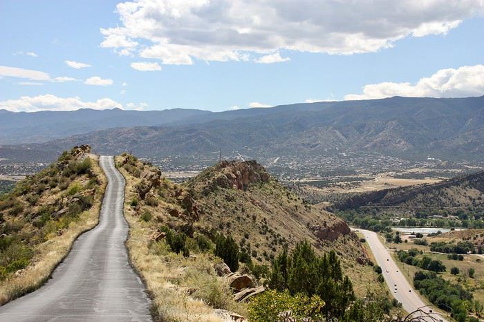
 At the summit, a small parking lot lets you see the valleys below.
What a sight—on the right, the highway and the mountains.
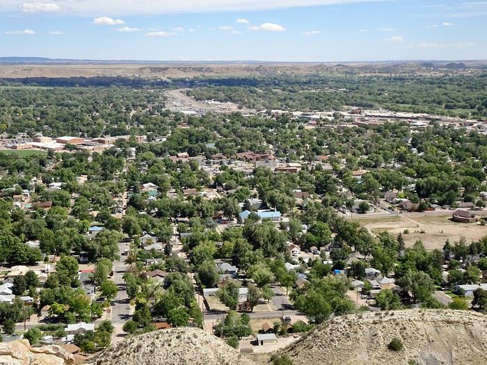
 And on the left, the plains of Canon City.
 Workers are up there, perched in the void without any protection, picking up all the trash that those piggish tourists toss when they stop.
We start the descent, which is pretty easy overall, and finally reach the bottom in a fairly residential neighborhood, thrilled we did it.
We were way up there on the ridge where you can see the tiny dot of a car.
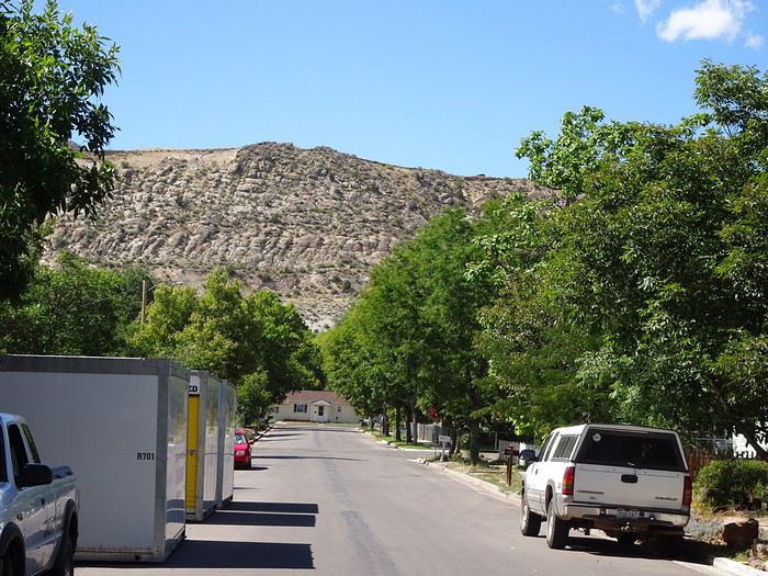 A strange way to welcome visitors.
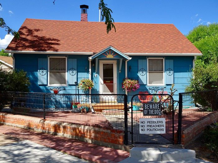 Mau, happy to have driven us safely, is ultimately glad he had to drive because his concentration kept him from thinking too much about the drop.
Based on a forum friend’s advice, I’d planned to take Phantom Road after our night in Cripple Creek, descending leisurely toward Manitou Springs, but discovering a last-minute Pow Wow near Garden of the Gods on the day we arrived made us change our plans—we had to be there by 2 p.m. at the latest, so we had to take the shortest route.
Phantom Road
So, we’ll take it on the way up.
We find the start of the trail with difficulty. This path, nestled in the forest with its pines, high walls, and tunnels, is certainly cute.
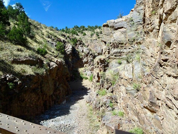
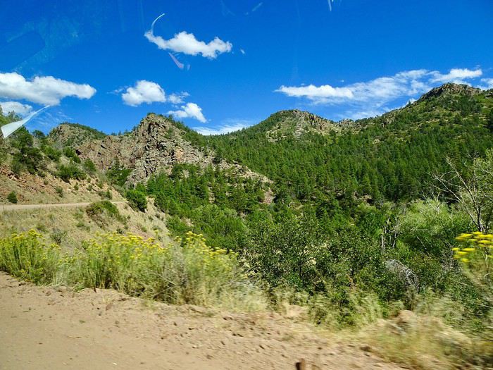 But it takes us longer than expected to reach Cripple Creek, which prevents us from visiting the Mollie Kathleen Mine because we arrive at 4 p.m., just as the last group is coming up—and unfortunately, it’s full.
Disappointed we can’t go down, we settle for taking a few photos.
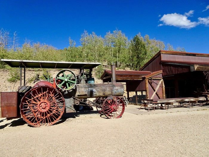
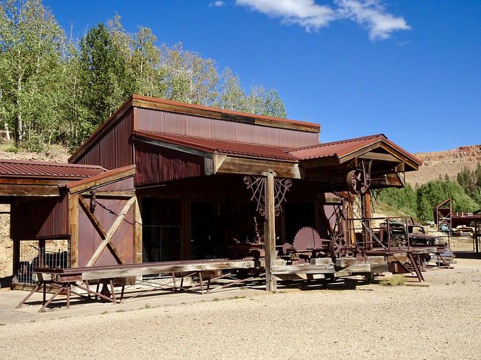
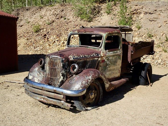 Before heading back to Cripple Creek.
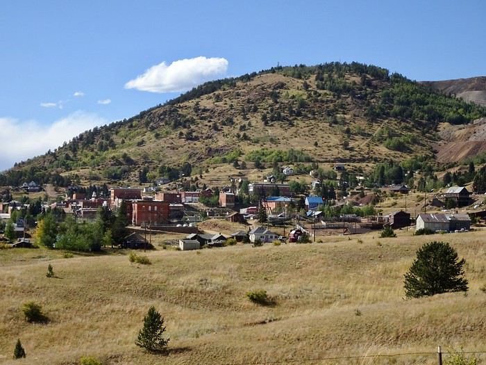 And our hotel.
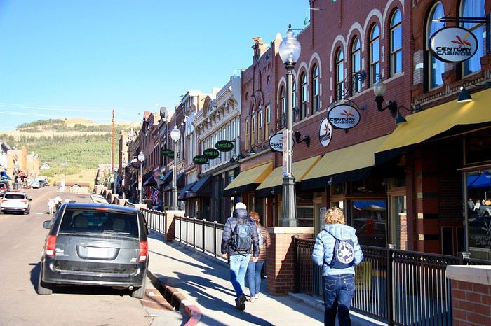
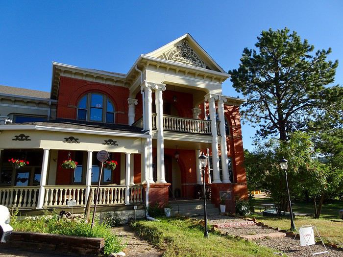 Where we love strolling—the decor is so nice.
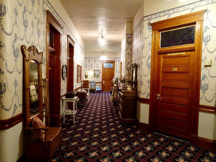
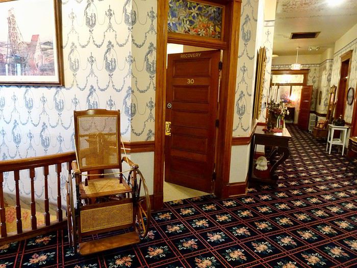
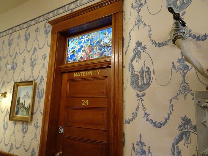
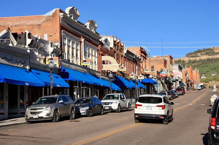
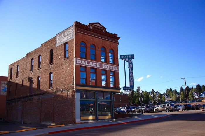
 And hotels.
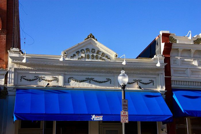
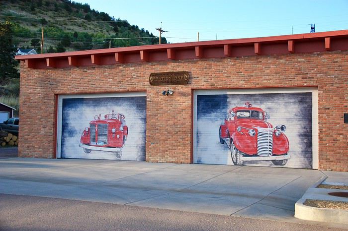
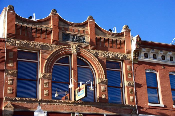 As well as some cool murals.
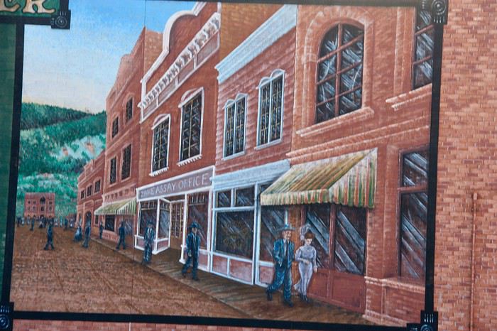
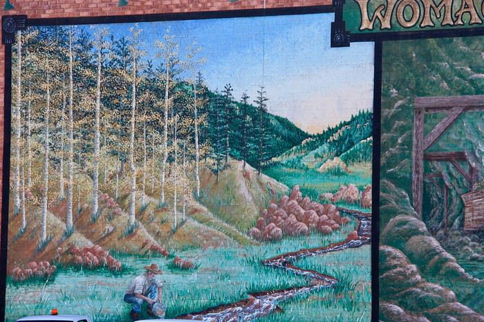 There are also little donkeys, descendants of those that spent their lives in the mines, but we didn’t see them.

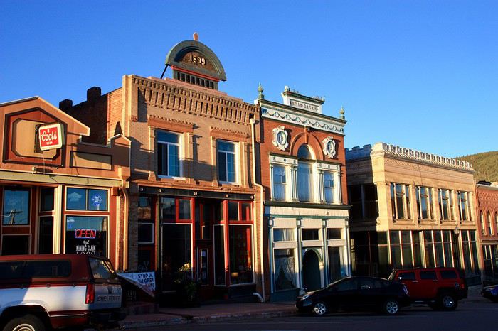
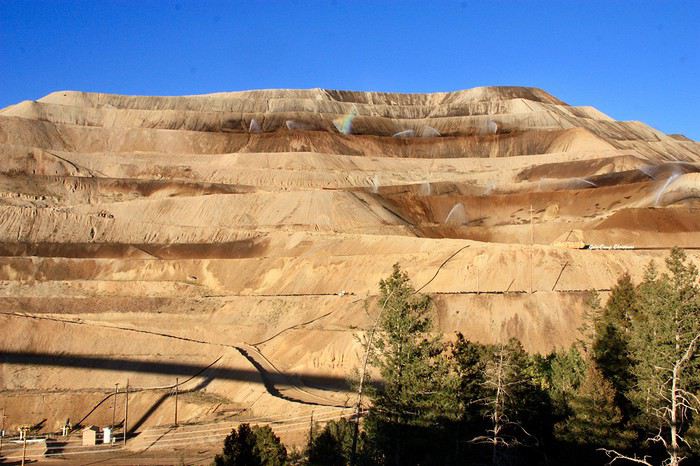 Victor seemed more authentic to us, even more moving, though it looks more like a ghost town with its antique shops and dilapidated storefronts.
Here too, there are murals.
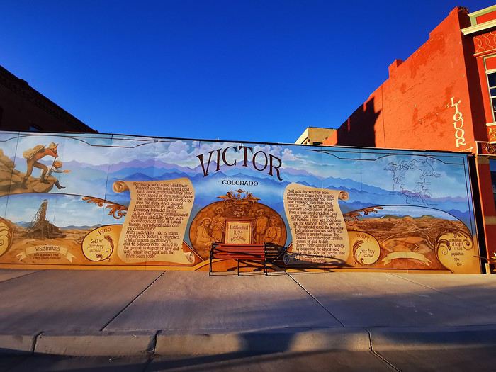
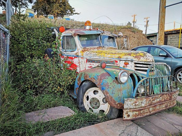
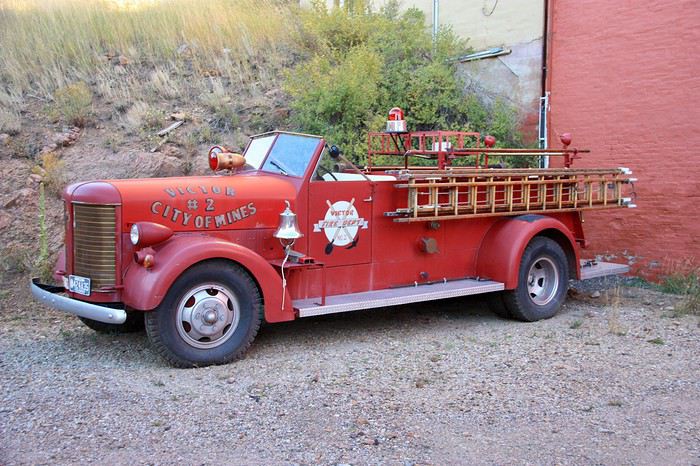
 Old cars.
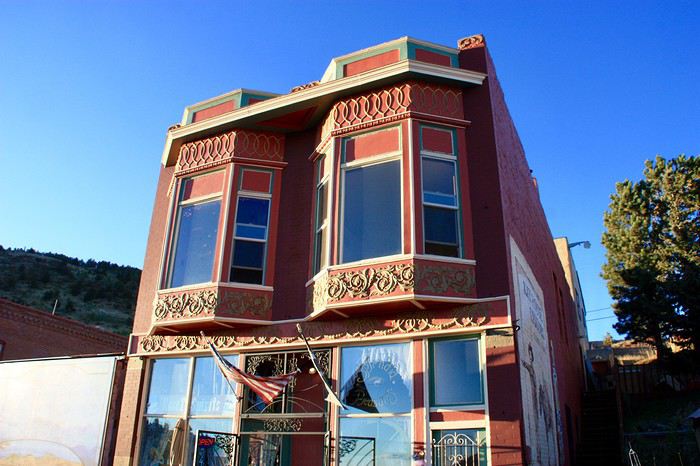
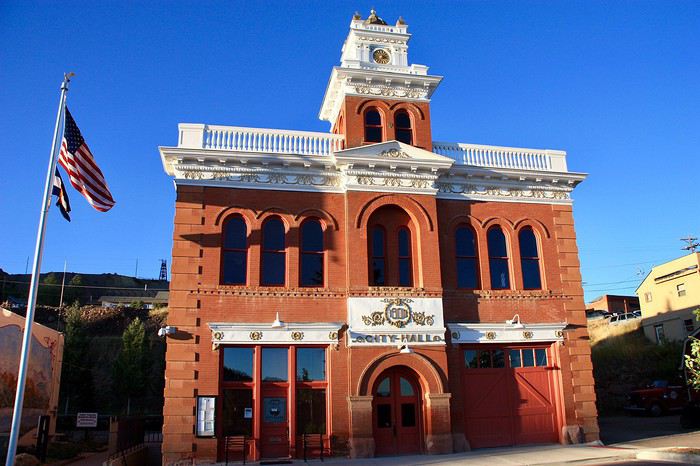
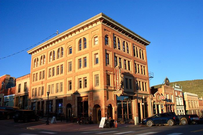 Dusk is setting in.
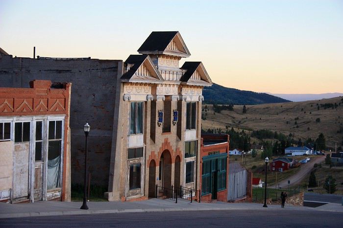
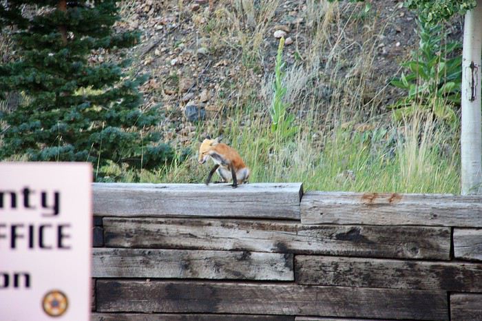
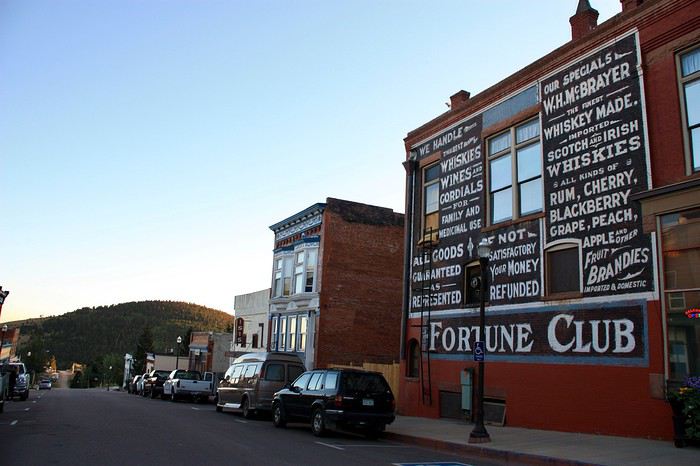 Not a soul on the street except for a young homeless guy and this little coyote.
 And a drunk man, whom a lovely antique shop owner will take care of for us.
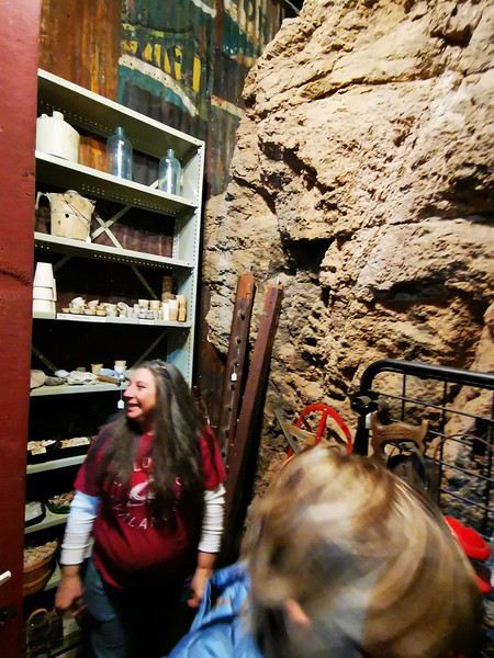 She sells bottles of alcohol and reopens her shop door, which she had already closed, to lead us to the back of her store, where a section of the wall holds gold nuggets.
Victor is also known for its mining relics, which we plan to see tomorrow morning.
The restaurant we’d spotted for dinner was closed, so we head to one of the casinos on the main street that also serves food.
Arriving too late to visit the gold mine is the big disappointment of the day. Tomorrow, we want to walk through the mining ruins—it’ll take time, and if we visit the mine afterward, we’ll arrive too late to see the native costumes and dances, which we really want to see. Oh well, too bad about the mine, but it’s still a shame!!!

 It’s nice out, pleasant but a bit repetitive!! Plus, this whole mine thing is stuck in my head!!!
We were disappointed yesterday for arriving too late!!! We’ve never seen a gold mine, and we already missed the one in Deadwood!!!
The first descent into the Mollie Kathleen mine is at 10 AM. What if we stopped the hike and went back there? We haven’t walked much, and we have time to go. Only DD isn’t too keen!! Come on, let’s vote!!! Three for, one against!!!
Deal, we’re going back!!!!
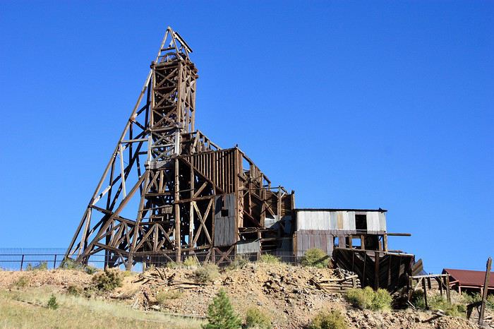
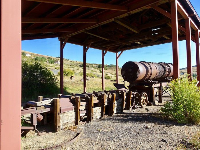
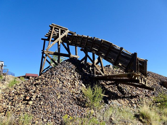
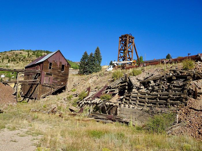
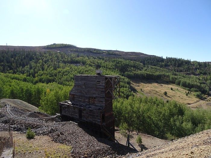
Mining remnants are everywhere.
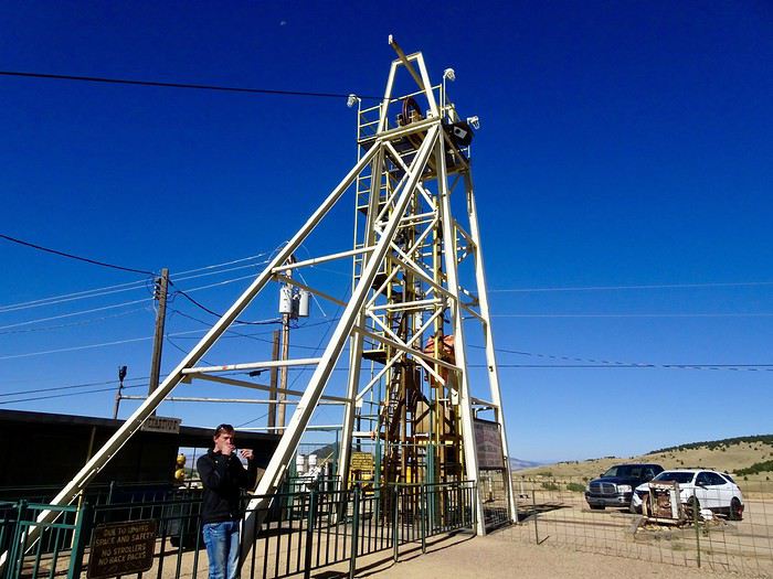
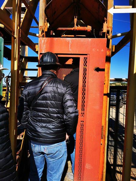 We start humming: “Ah, how cramped we are at the bottom of this box, sing the sardines...” under the amused gaze of the other visitors.
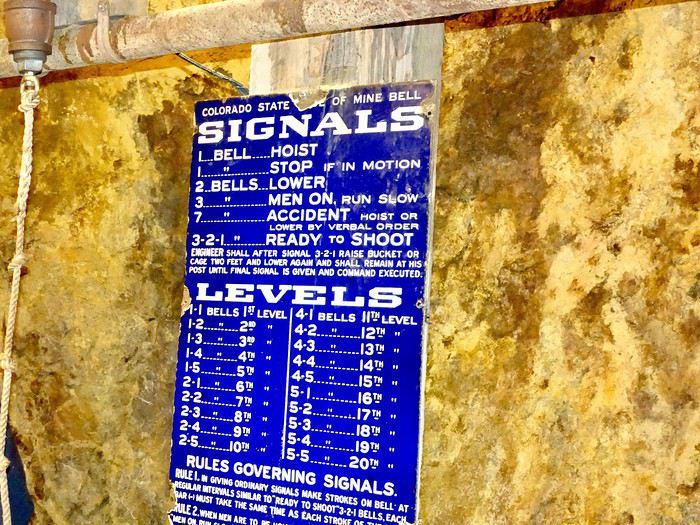
A bell rings, given by our guide standing on the second cage, and off we go at high speed into the darkness, 300 meters underground, in the same conditions as the old miners.
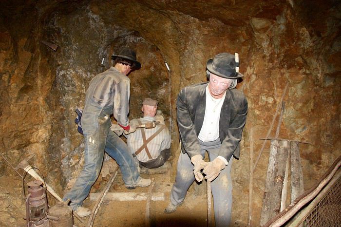
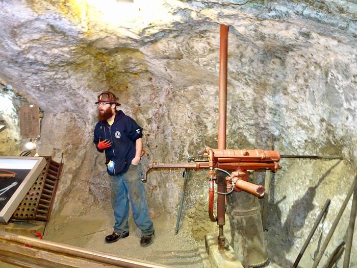
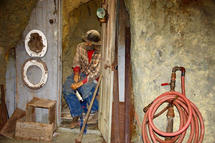
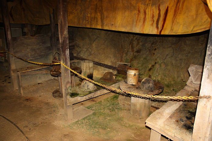
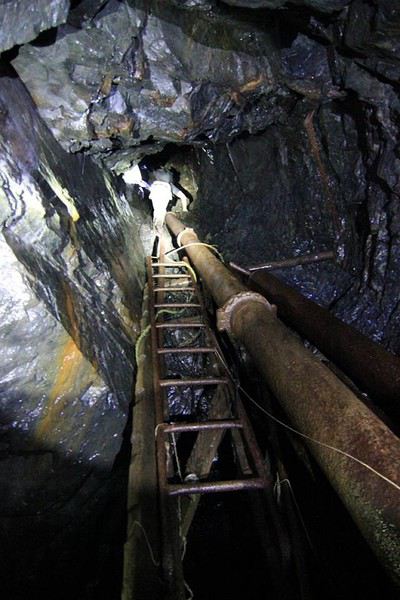
At the bottom, the tour lasts over an hour and gives us a glimpse of the living conditions of those men who once extracted the precious ore from the depths of the earth.
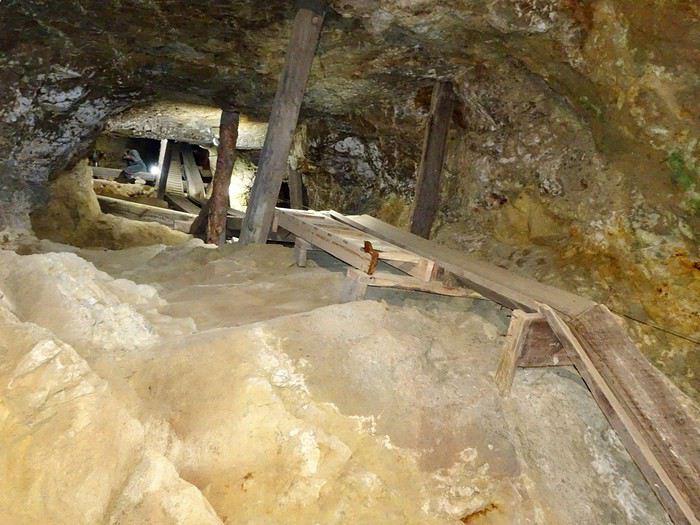
We start by walking through this maze of tunnels.
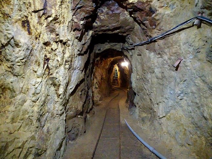 The galleries have names.
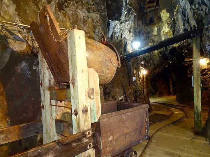
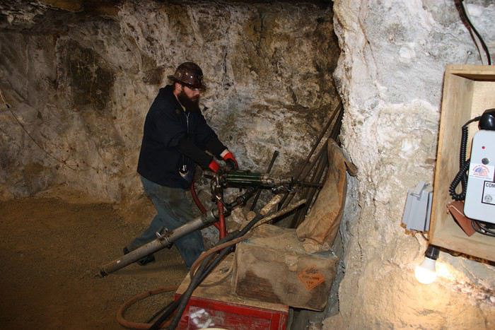
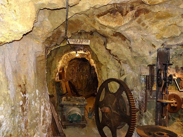 And as we go along, we clearly see the evolution of underground mining over time (lighting, extraction, drilling).
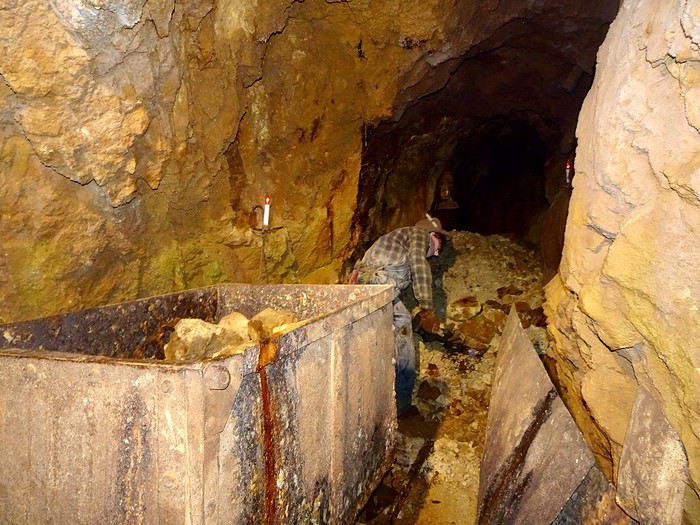
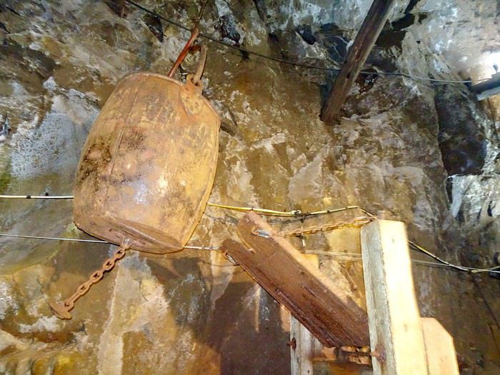
 Clever pulley system!
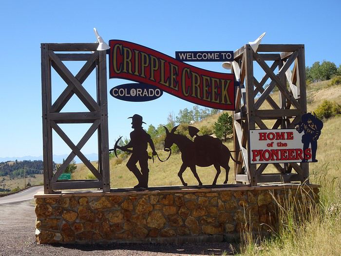 where we went back to fill up on gas.
Last look at this region we really liked, and off to Manitou Springs to get to know the first inhabitants of this amazing country!!!

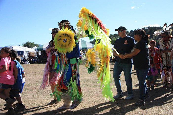
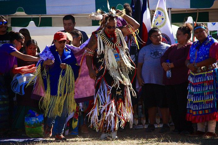
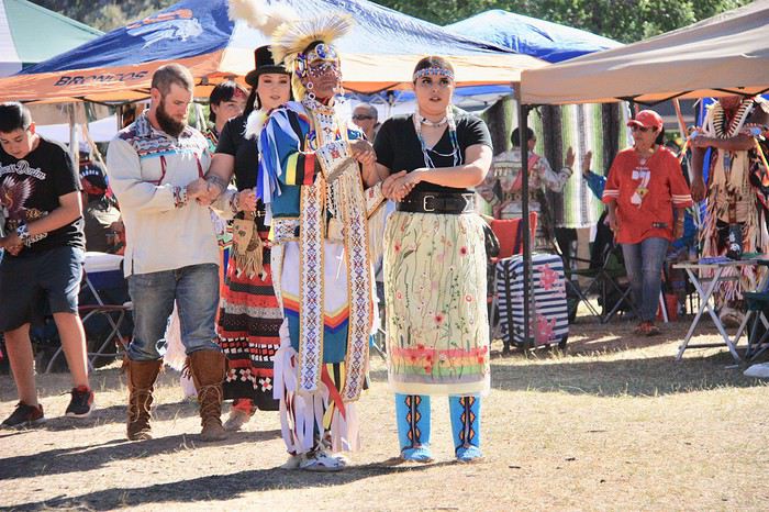
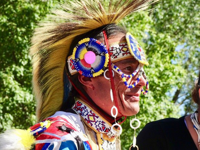
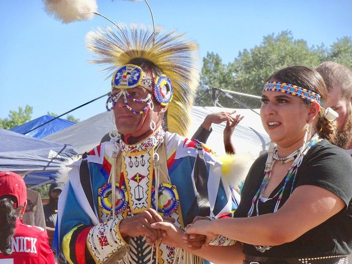
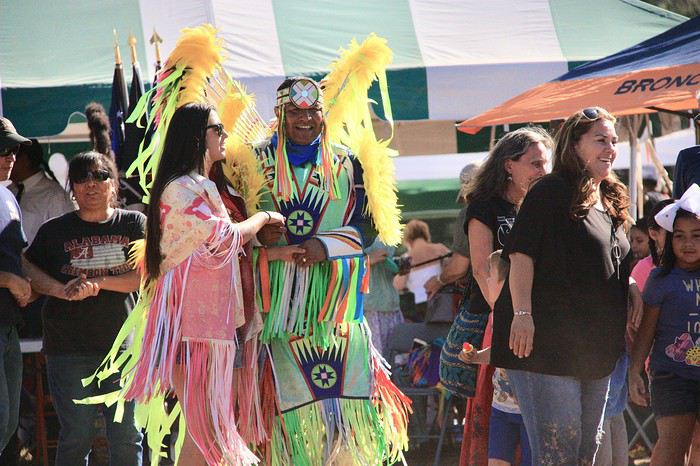

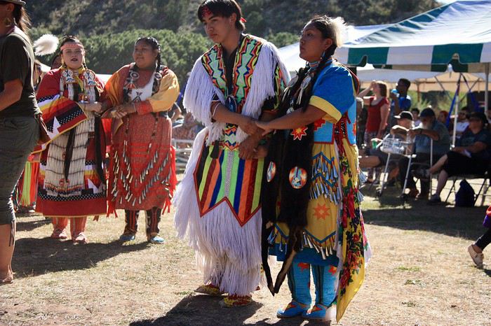

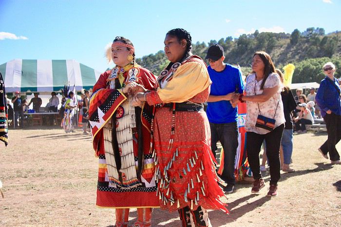
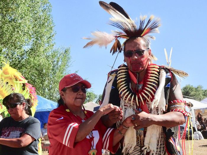
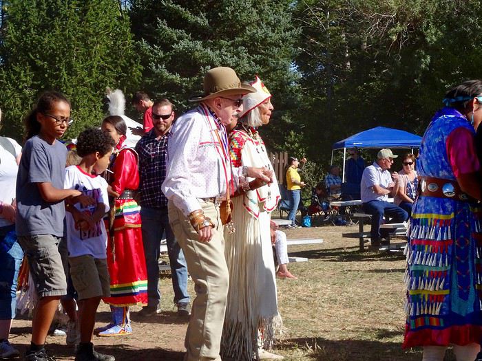
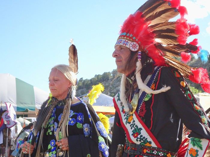
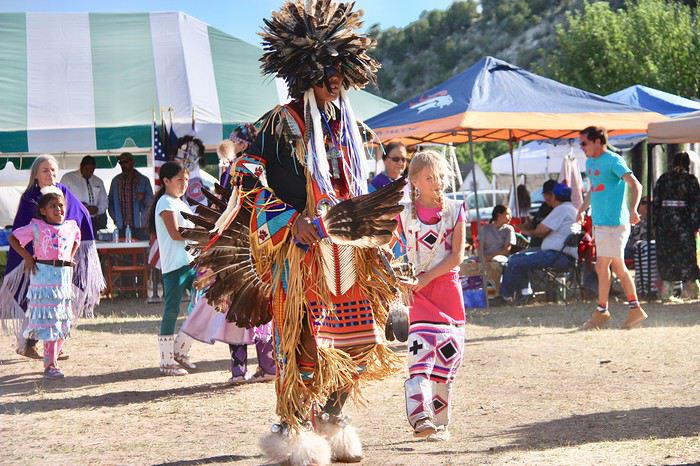
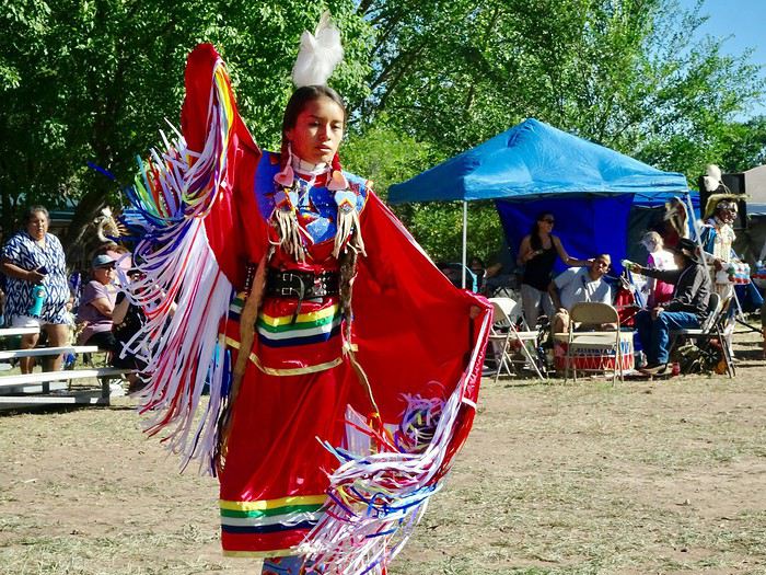
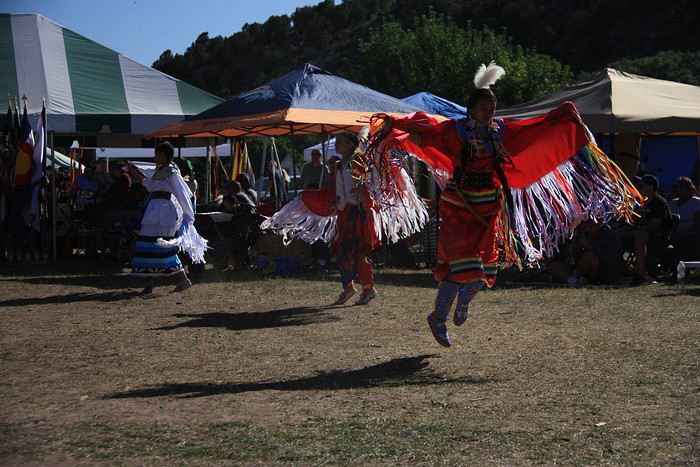
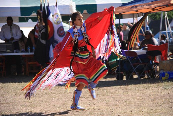
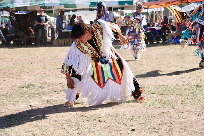
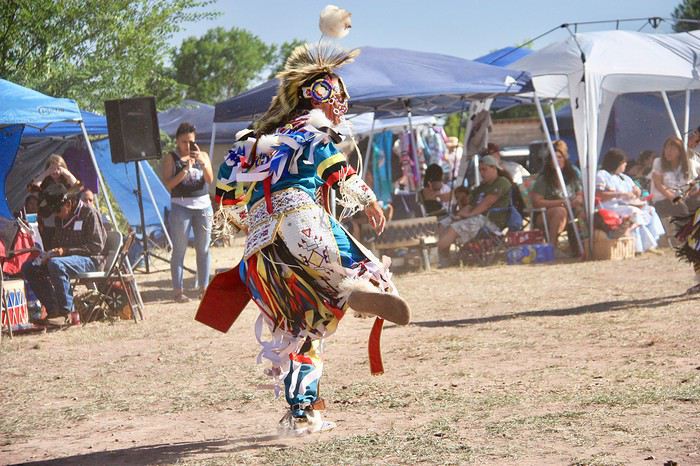
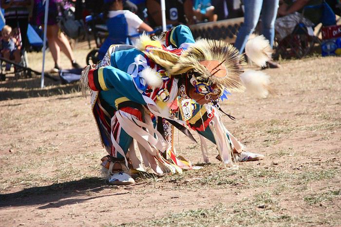
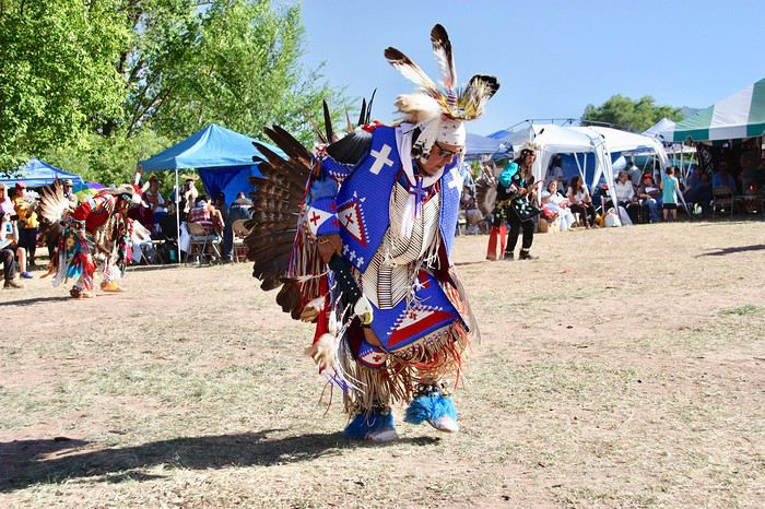
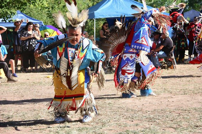
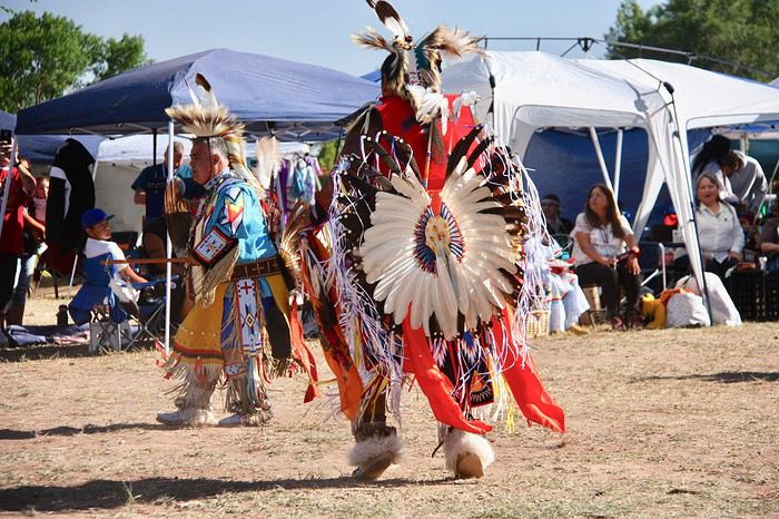
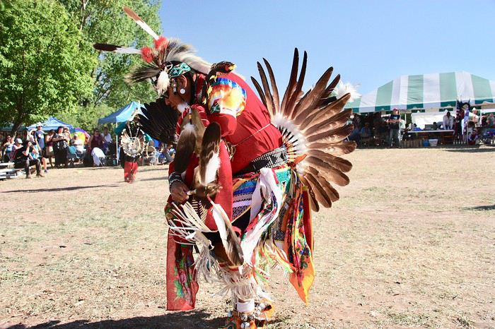
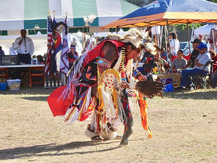
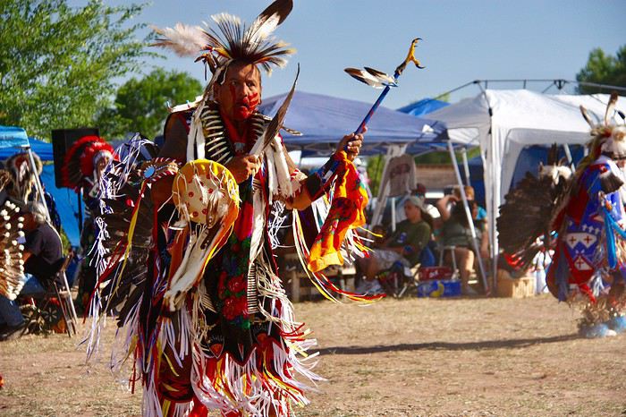
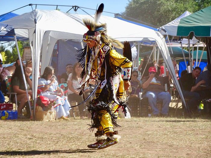
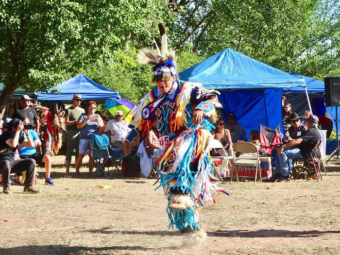
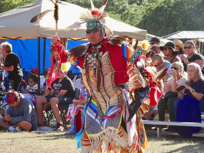
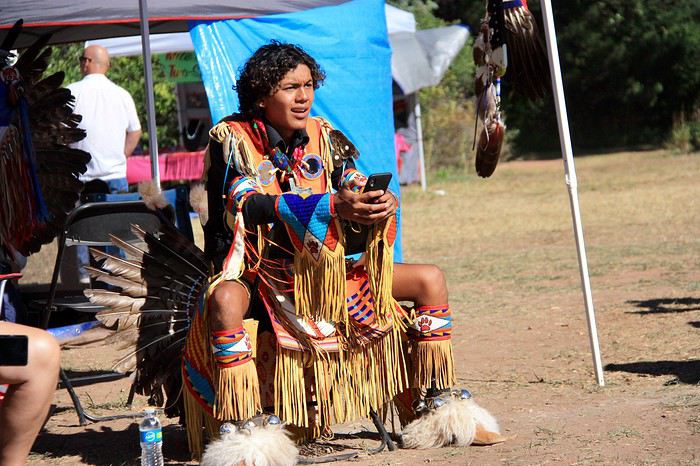
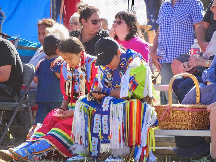
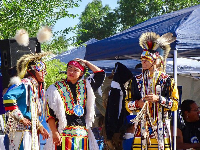
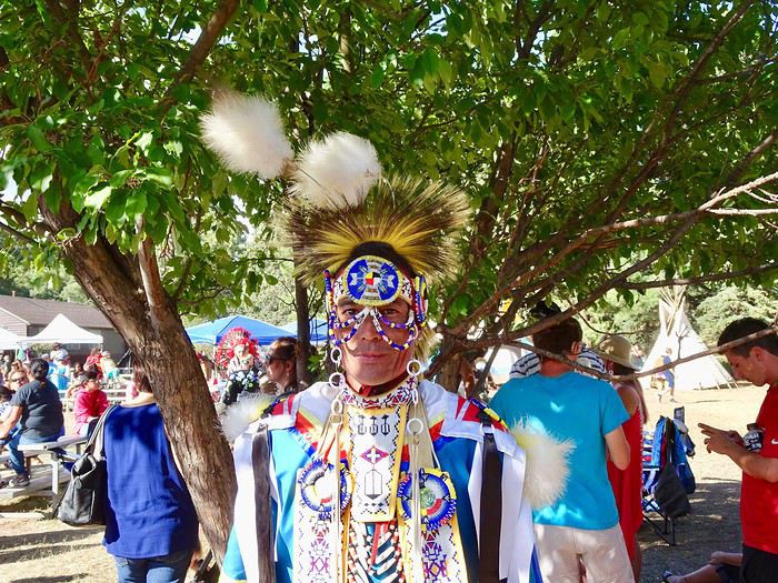
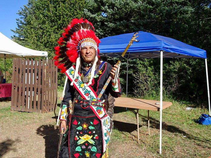
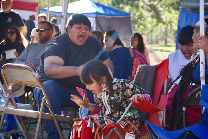 The costumes were all more beautiful than the last.
We were transported a thousand miles and a thousand years away from where we were, our hearts full of emotion.
Next came the girls’ dances.
They ran, they jumped, all with so much grace.
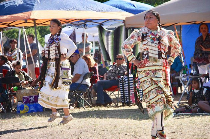
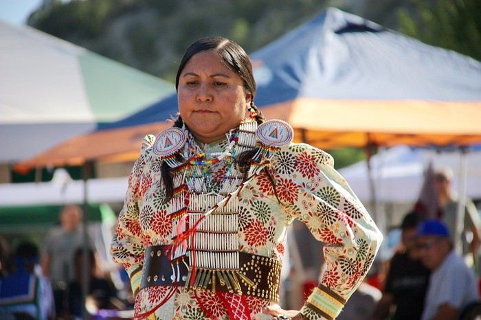
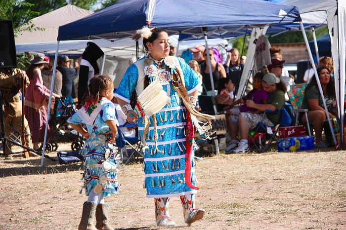
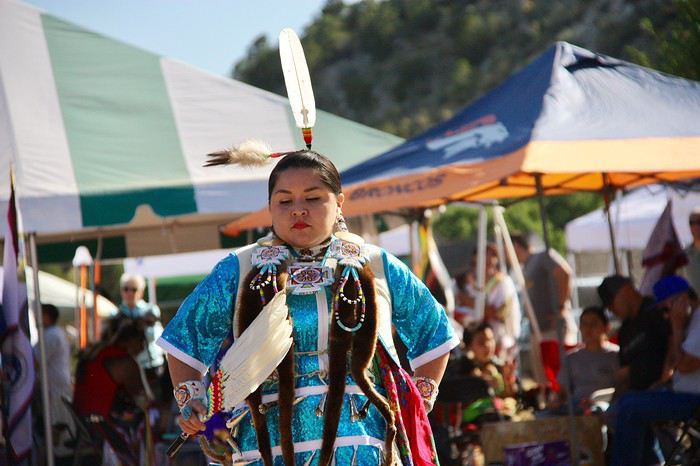 Some of them were downright airborne!
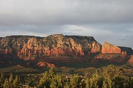



Hello,
Following our trip on the Great Divide Mountain Bike Route this summer, we’re sharing our experience in this travel journal.
We’re Richard and Bernadette, both 64 years old, and we’re gravel bike-packing cyclists.
We’ve completed several gravel bike trips in France and neighboring countries, and Richard has also done some in South America.
We left on July 22, 2026, from Geneva to Calgary via Frankfurt with our bikes carefully packed in boxes, and we returned on October 8 from El Paso to Geneva via Chicago and Frankfurt.
The GDMBR is a mountain route that closely follows the Pacific/Atlantic continental divide, starting in Banff, Canada, and ending at the Mexican border in Antelope Wells, New Mexico. This crossing of the American West is one of the longest mountain biking routes in the world, winding through wild valleys, mountain ranges, and desert plateaus. It stretches about 4,400 km with a total elevation gain of around 60,000 m. The average altitude is 2,000 m, and the highest point reaches 3,600 m. The route is 80% off-pavement (gravel roads, dirt, and a few trail segments). It’s also known for the annual Tour Divide race, which brings together the best riders in the discipline every June and follows roughly the same route.
We prepared for this trip over several months, using a few websites and an older guidebook (the 2013 English edition).

With this, we were able to organize our journey with as much information as possible, a GPS track, and gear suited to the weather conditions, terrain, and sparse resupply points in remote areas.
Once we arrived in Banff, we picked up bear spray to handle a particular challenge: the wildlife we weren’t familiar with.

After landing in Calgary, we assembled and equipped our bikes at the airport. That first evening, we were welcomed by Mike, who invited us to his place when we were looking for a spot to pitch our tent. Then we made our way to Banff over two days, taking a fairly quiet road to Canmore and then a bike path.

A visit to Banff, a charming tourist town in the national park. Its famous Fairmont Hotel.

The starting point of the GDMBR at the arch of this hotel complex.

Here we are, immersed in the wilderness—just a few pedal strokes away from the town, the contrast is striking. Powerful rivers, vast landscapes, and our first encounter with a mule deer.

Spray Lake, our first basic campsite: no showers, dry toilets, no water fountain—we filter lake water. Most GDMBR campsites are like this.


We took the west side of the lake—a longer and wilder route. A few fallen trees blocked the path, forcing us to carry our bikes. But the stunning landscapes made it all worth it!

Our first single track through a forest marked by past wildfires.


Most campgrounds have tables and metal fire rings for safe campfires, which makes setting up camp much easier—especially nice after a long, tiring day! During this trip, we mostly slept in our tent, either in established campgrounds or wild bivouacs.
To be continued...
The GDMBR is a mountain route that closely follows the Pacific/Atlantic continental divide, starting in Banff, Canada, and ending at the Mexican border in Antelope Wells, New Mexico. This crossing of the American West is one of the longest mountain biking routes in the world, winding through wild valleys, mountain ranges, and desert plateaus. It stretches about 4,400 km with a total elevation gain of around 60,000 m. The average altitude is 2,000 m, and the highest point reaches 3,600 m. The route is 80% off-pavement (gravel roads, dirt, and a few trail segments). It’s also known for the annual Tour Divide race, which brings together the best riders in the discipline every June and follows roughly the same route.
We prepared for this trip over several months, using a few websites and an older guidebook (the 2013 English edition).
With this, we were able to organize our journey with as much information as possible, a GPS track, and gear suited to the weather conditions, terrain, and sparse resupply points in remote areas.
Once we arrived in Banff, we picked up bear spray to handle a particular challenge: the wildlife we weren’t familiar with.
After landing in Calgary, we assembled and equipped our bikes at the airport. That first evening, we were welcomed by Mike, who invited us to his place when we were looking for a spot to pitch our tent. Then we made our way to Banff over two days, taking a fairly quiet road to Canmore and then a bike path.
A visit to Banff, a charming tourist town in the national park. Its famous Fairmont Hotel.
The starting point of the GDMBR at the arch of this hotel complex.
Here we are, immersed in the wilderness—just a few pedal strokes away from the town, the contrast is striking. Powerful rivers, vast landscapes, and our first encounter with a mule deer.
Spray Lake, our first basic campsite: no showers, dry toilets, no water fountain—we filter lake water. Most GDMBR campsites are like this.
We took the west side of the lake—a longer and wilder route. A few fallen trees blocked the path, forcing us to carry our bikes. But the stunning landscapes made it all worth it!
Our first single track through a forest marked by past wildfires.
Most campgrounds have tables and metal fire rings for safe campfires, which makes setting up camp much easier—especially nice after a long, tiring day! During this trip, we mostly slept in our tent, either in established campgrounds or wild bivouacs.
To be continued...














 Roundabouts are particularly interesting because they feature emblems of Turkmen culture, like the dog, a carpet, the Ahal Teke horse, or Muslim symbols, even though the presence of Islamic artifacts is quite limited.


















 Why this country?
After visiting Hungary, Slovenia, Romania, and Poland in recent years, I’ve fallen in love with Eastern European countries. I adore the Slavic soul, its Austro-Hungarian villages, the gentle landscapes, the Carpathian Mountains, and that slightly mysterious atmosphere.
Slovakia evokes a certain imagination with its deep forests, medieval castles, and cobbled villages.
After seeing photos of the High Tatras—especially Lake Štrbské Pleso and Spiš Castle—I thought, "Let’s do it! We’re going!"
So, will Slovakia live up to what I imagine?
We’ll find out together.
We decided to travel as a group of six (five adults and a six-year-old child), by car (we needed two).
Here’s the day-by-day itinerary for this family trip, which started with a 3-day stay in Vienna (see the dedicated travel journal):
















 When it comes to the Caribbean island of Saint-Martin, it's customary to praise its coastline and dreamy beaches—and they certainly deserve it.
But in this story, I’d like to highlight other memories, aspects, and impressions for a slightly different change of scenery.
Enjoy the read—some text and, above all, lots of photos.
« Byenveni sou zile Sen Maten! » (Welcome to the island of Saint-Martin)















































 Come along, I'm taking you to this country where it's so nice to wander and slow down...












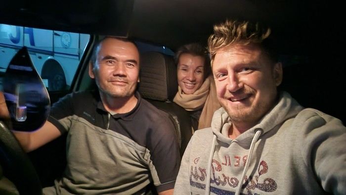
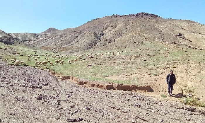
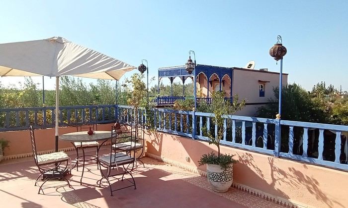
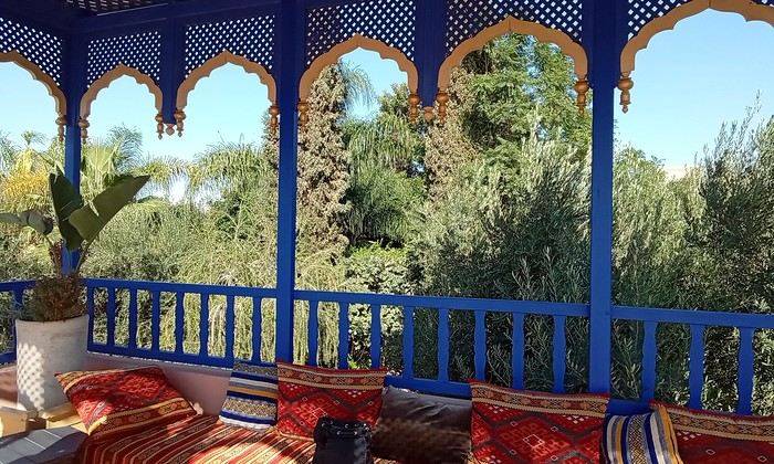 Last October, we landed in Marrakech to spend a few days with family exploring Morocco’s roads.
Transport: a rented Dacia.
Accommodations: small guesthouses.
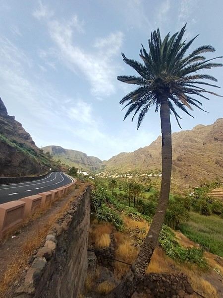
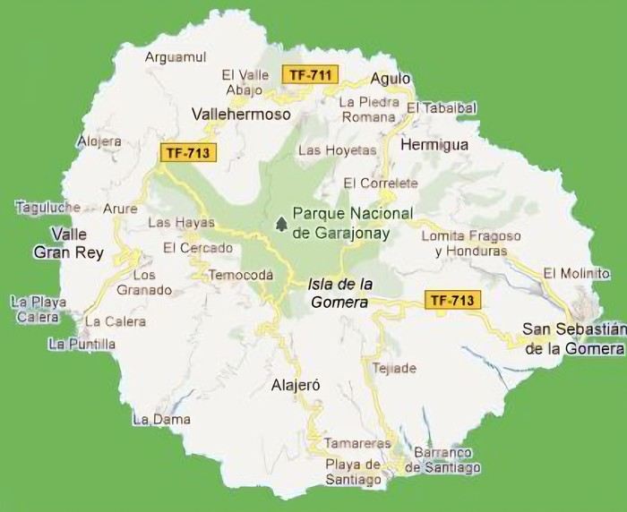 The large solidified magma massifs that shape the heart of the island have created a large depression more protected from the sun at its center, allowing the growth of a vast laurel forest, today grouped within the Garajonay National Park, La Gomera’s green lung, which has earned it the status of a World Biosphere Reserve. Its completely European appearance contrasts sharply with the rocky and tropical landscapes of the rest of the island. Thus, the climate varies greatly from one point to another on the island: in summer, you can quickly go from a dry and sunny valley at 35°C to a humid forest area at altitude at 18°C.