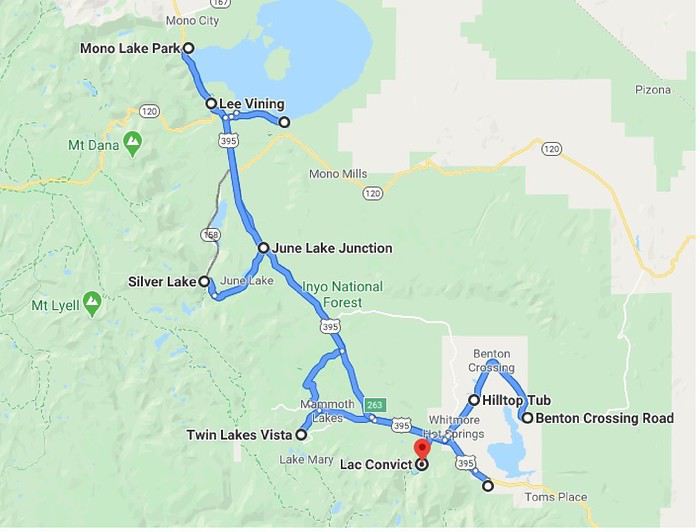
Route.
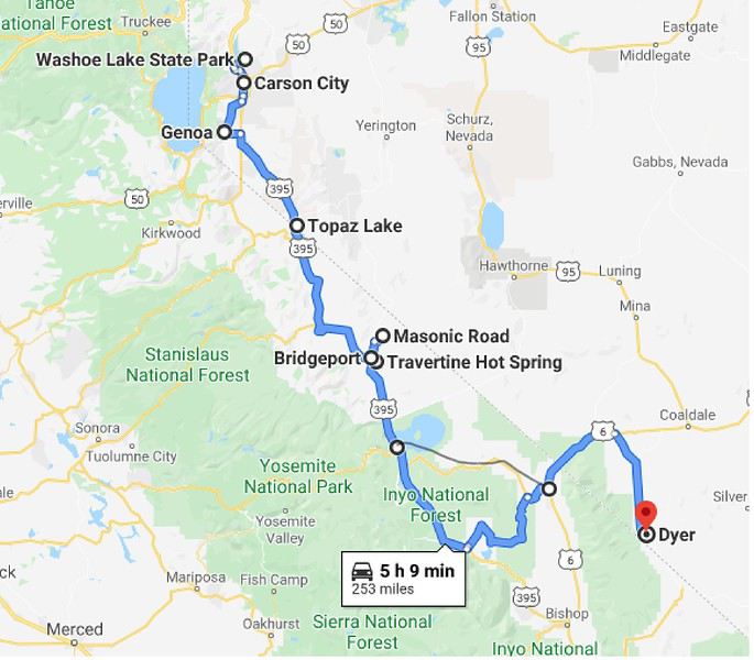
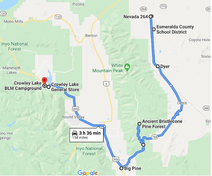
Contrary to what’s shown on the map, I took Route 120 (direct, pencil line) from Lee Vining to Benton. I think the display is because it’s winter and this road is currently closed (so it’s not accepted as a route).
I start the day by heading back to the historic villa district in Carson City, where I’d passed through quickly when I arrived.
"Bliss Mansion": built in 1879, 15 rooms, all wood, constructed by a lumber operator.
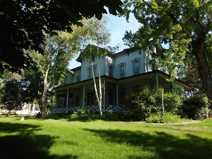
"Governor's Mansion": built in 1909, the governor’s residence.
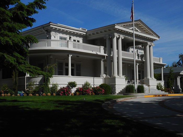
"Orion Clemens House": built in 1864, home of Mark Twain’s brother.
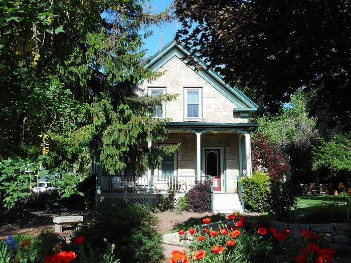
Next, I head toward Genoa via Route 206, to the "Mormon Station State Historic Park" (20 km south of Carson City).
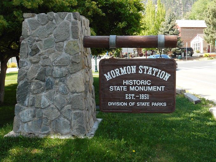
This is the first permanent non-native settlement in Nevada. It was a place where pioneers on the "California Trail" could trade, restock (there was a mill nearby), and repair (blacksmith) before crossing the Sierra Nevada. It remained an important trading hub in this fertile region until the railroad was completed.
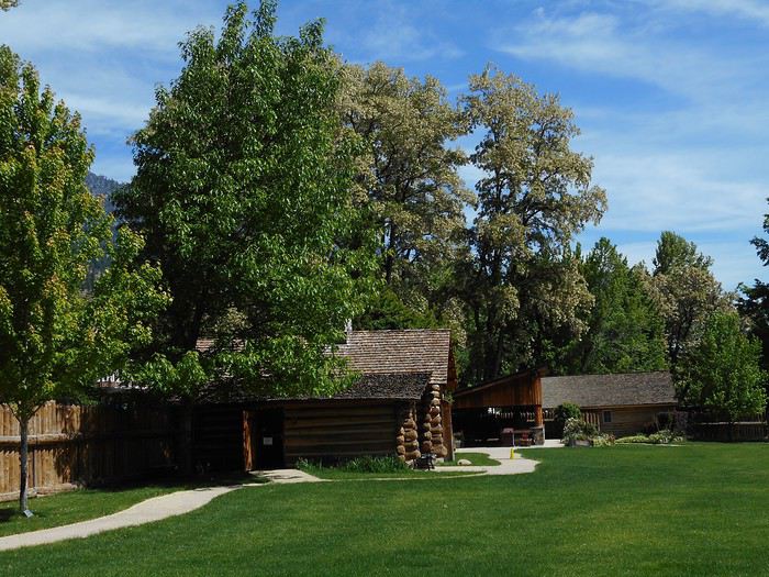
The park and the cabin.
The statue of "Snowshoe Thompson," a Sierra legend and the father of skiing in California.
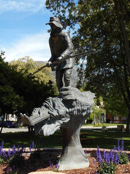
Born in Norway’s Telemark region, "Jon Torsteinssen Rue," known as "Snowshoe Thompson," carried mail between Placerville (California) and Genoa (Nevada) in winter from 1856 to 1876 on skis he made himself (3 meters long, with a pole for propulsion). He reportedly made the California-Nevada trip in 3 days and only 2 days the other way. His story is told in the cabin (exhibit room, small museum).
Then I take US-395 (Minden, Gardnerville) to "Topaz Lake," which is shared by California and Nevada.
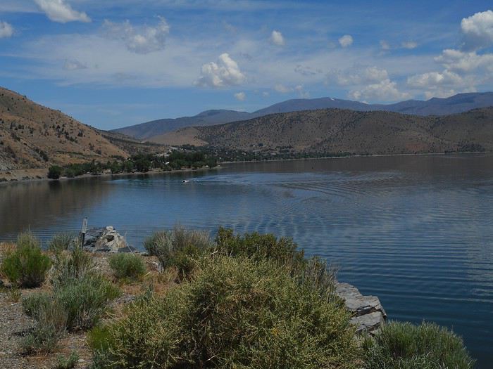
A little farther, the road follows the "Walker River" (West Fork) gorge. This river flows from the Sierra to Walker Lake in the Great Basin.
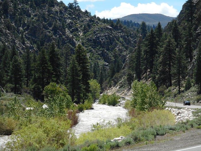
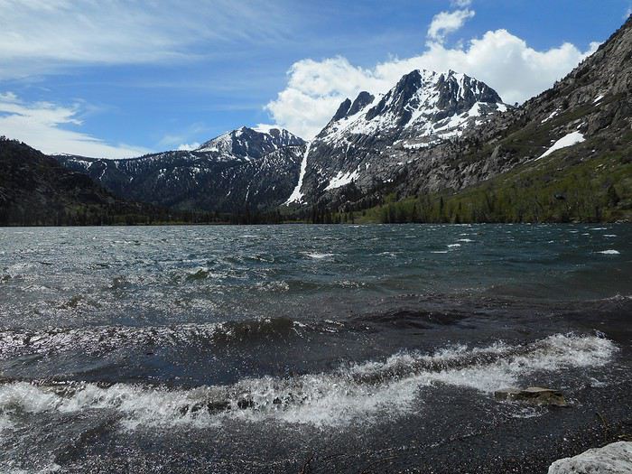
Before reaching Bridgeport, there’s a view of the Sierra Nevada.
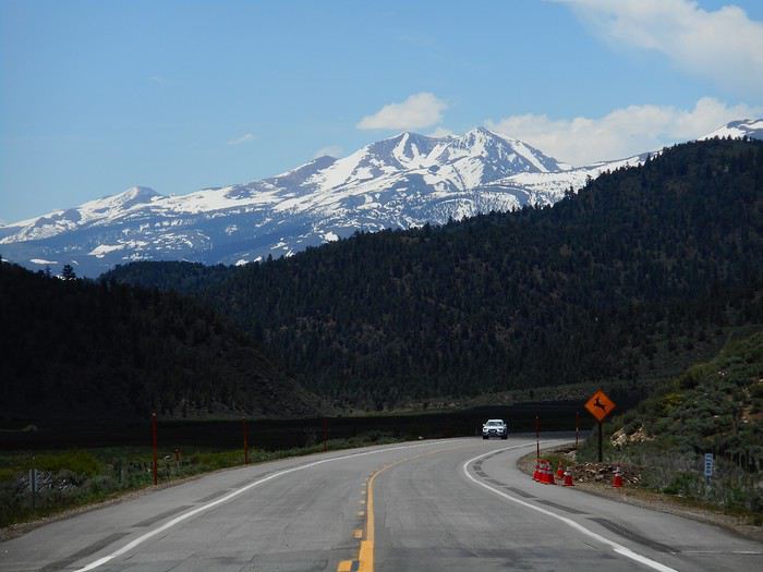
After lunch in Bridgeport, I planned to visit "Chemung Mine," an abandoned gold mine that operated from 1909 to 1938. You follow the reservoir north (Route 182), then, when the reservoir narrows, turn right onto a dirt road (Masonic Road). After about ten kilometers, you can’t miss the mine.
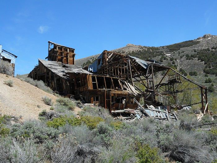
I should clarify: this is an ABANDONED mine (not a town). No one maintains it, and there’s no upkeep to prevent deterioration. I saw a sealed mine entrance, but the ore-processing building (huge) is collapsing in on itself, and it seems dangerous to go too far inside. Either way, I wouldn’t dare walk on the remaining bits of floor.
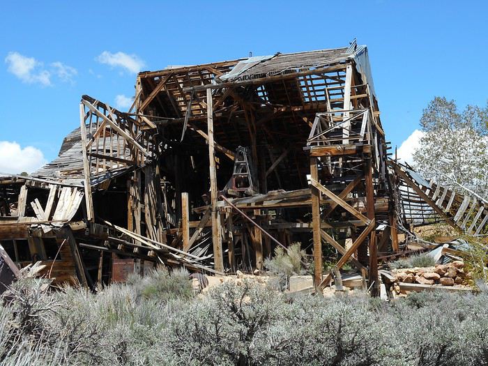
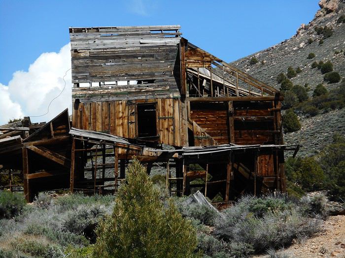
You can’t really learn much about ore processing from these ruins, and I don’t think I’ve ever seen a building this dangerous with no protection (aside from, maybe, a "danger" sign, which isn’t really protection anyway). Incredible... in a certain way!
I head back down the dirt road, which offers beautiful views of the Bridgeport Reservoir (on the Walker River’s East Fork) with the Sierra Nevada in the background.
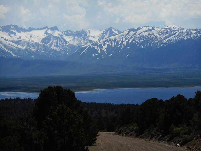
Back in Bridgeport, I go for a soak at "Travertine Hot Springs." I leave town on US-395 south, then after about 700–800 meters, turn left onto "Jack Sawyer Road," which leads there (about 2 km). On the parking lot, there’s an RV and three cars. The first pool is right near the parking lot.
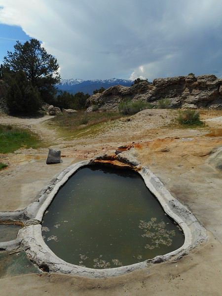
After walking about two hundred meters, I find two more pools fed by a channel—a narrow gorge carved into a long mound.
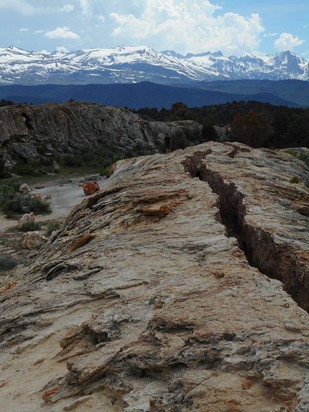
Now, the two (or three) pools at the end of the channel.
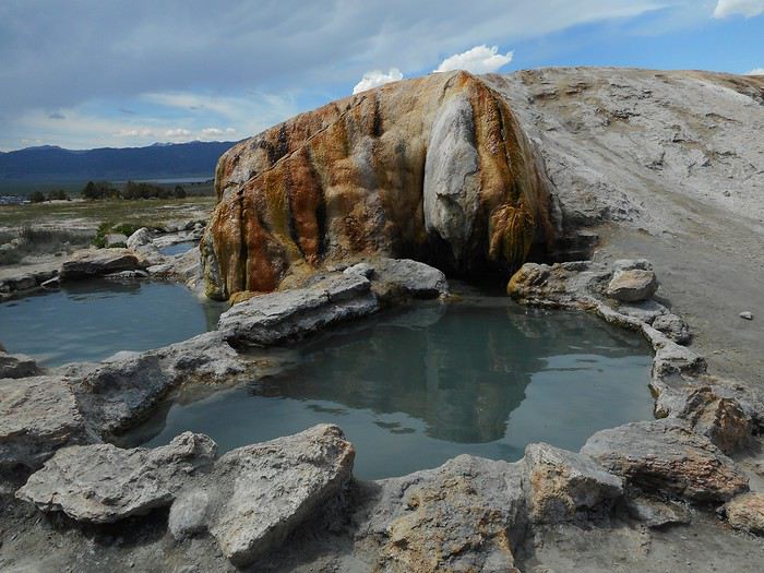
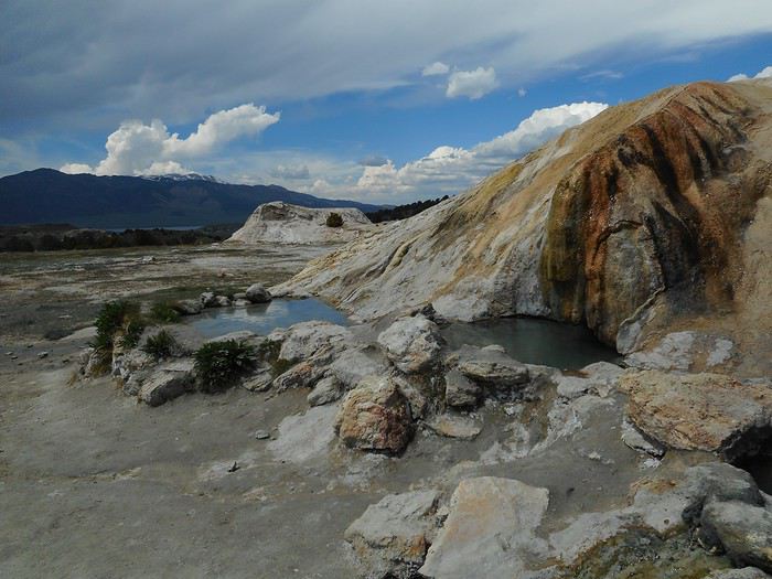
Farther down the site, there’s at least one more pool.
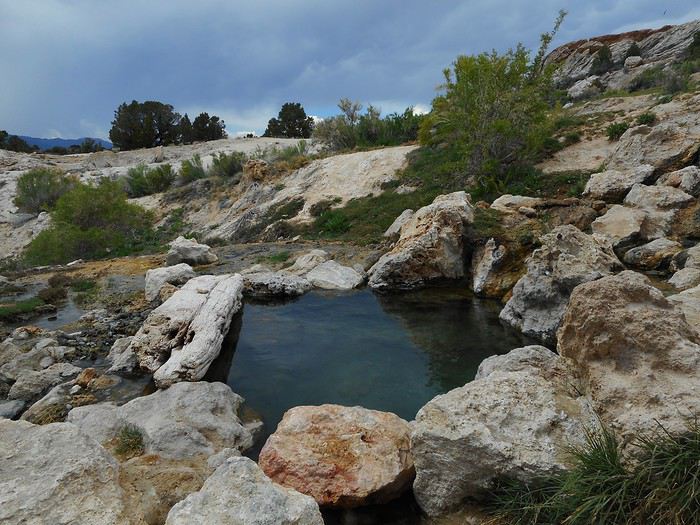
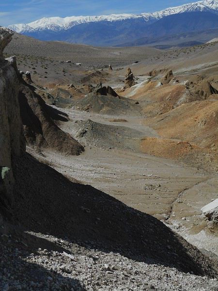
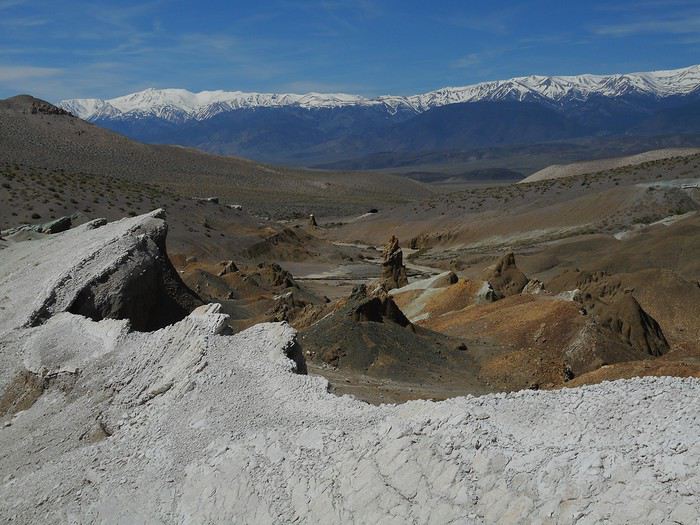
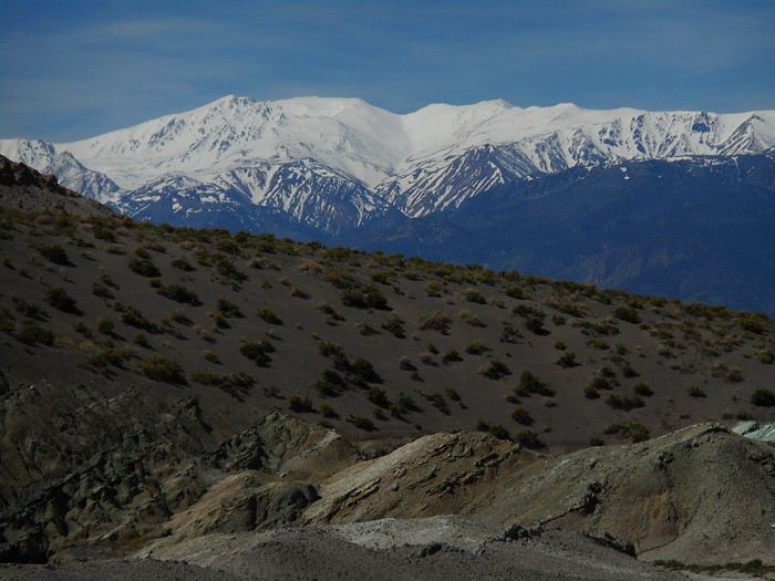
I stopped exploring there and enjoyed the pools fed by the channel (hot bath temperature) with a view of the Sierra Nevada.
While I was at "Travertine Hot Springs," the sky, which had been clear and bright all morning, started to cloud over. It kept darkening, and the end of the day felt dim (like night was coming too early).
I continue south on US-395 and stop at the viewpoint over "Mono Lake."
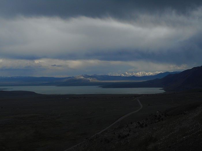
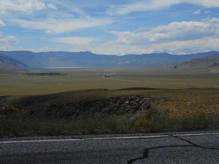
After Lee Vining (where I’ll be back soon), I take Route 120 toward Benton, then re-enter Nevada. After skirting "Boundary Peak" (in the clouds), I arrive in Dyer via Route 264.
Night at "Esmeralda Campground" in Dyer.
The two evenings when I really felt like I was far from everything during my time in Nevada were: - This one in Dyer Valley - The one at Berlin-Ichthyosaur State Park. The sense of isolation for people living in these places must be something truly unique.













































 Roundabouts are particularly interesting because they feature emblems of Turkmen culture, like the dog, a carpet, the Ahal Teke horse, or Muslim symbols, even though the presence of Islamic artifacts is quite limited.





 Why this country?
After visiting Hungary, Slovenia, Romania, and Poland in recent years, I’ve fallen in love with Eastern European countries. I adore the Slavic soul, its Austro-Hungarian villages, the gentle landscapes, the Carpathian Mountains, and that slightly mysterious atmosphere.
Slovakia evokes a certain imagination with its deep forests, medieval castles, and cobbled villages.
After seeing photos of the High Tatras—especially Lake Štrbské Pleso and Spiš Castle—I thought, "Let’s do it! We’re going!"
So, will Slovakia live up to what I imagine?
We’ll find out together.
We decided to travel as a group of six (five adults and a six-year-old child), by car (we needed two).
Here’s the day-by-day itinerary for this family trip, which started with a 3-day stay in Vienna (see the dedicated travel journal):















 When it comes to the Caribbean island of Saint-Martin, it's customary to praise its coastline and dreamy beaches—and they certainly deserve it.
But in this story, I’d like to highlight other memories, aspects, and impressions for a slightly different change of scenery.
Enjoy the read—some text and, above all, lots of photos.
« Byenveni sou zile Sen Maten! » (Welcome to the island of Saint-Martin)















































 Come along, I'm taking you to this country where it's so nice to wander and slow down...











