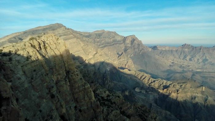
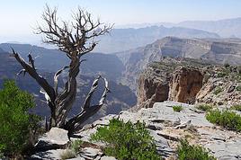
On the ridge, the W10 west of the intersection with W9a is just a faint trail, only partially marked by cairns. You’ll need to skirt the rocky summits to the south. It’s slow and rugged but without major issues. There’s a building with water 20 minutes before the last pass, where you hit the cliffs of Jbel Shams. At this point, W10 descends onto the northern slopes, continuing along narrow ledges—very adventurous since it’s unmarked. I didn’t continue. From this pass, you can also descend off-trail more directly toward Misfat AA, which is equally adventurous.
For the return, take the track to Shorfet Al Alamin pass (there’s a canal with water along the way—it’s in the shade in the morning), then the W10h and W9 trails. W9 is just a trace, not a proper trail, but it’s very clearly marked.
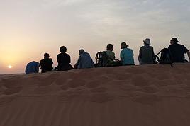
This makes for a 3-day loop (the goal is to camp up high for the views, sunsets, and sunrises) or a relaxed 4-day trek.
Al Hamra GH is a good place to stay before and after.