Peru: A Childhood Dream Finally Fulfilled
FR

Translated into English.

Original post
LA
Preamble

I could have titled my travel journal like Carmen: "Some trips are born twice." Indeed, we had considered this destination back in February 2020. However, an honest tour operator advised us against traveling at that time due to the climate. So, we gave up and opted for Guatemala instead (see "On the Mayan Lands" on this site).

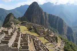
So, why this title? When I was in primary school, over 65 years ago, the illustrations in my history books (Machu Picchu) and geography books (Lake Titicaca) made me dream, and those images stayed in my mind. It took until 2026 to finally make this dream come true!

We prepared our trip with Tout Pérou, a French-speaking "agency." Everything was handled via email and WhatsApp exchanges with our contact: Laurent, who was both competent, friendly, and full of good advice. For 200 €, Tout Pérou provided us with drivers and guides whenever we wanted, helped us buy our domestic flights (cheaper when purchased in Peru), booked shuttles between airports and hotels, and got us a discount on the train ride to Aguas Calientes, as well as on the buses between Chivay and Puno and between Puno and Cusco. In short, Laurent took care of all the logistics and the Machu Picchu tickets. It was up to us to book our hotels. Tout Pérou provided a list, but we weren’t obliged to follow it. Another advantage of the package: we didn’t have to pay in advance; we paid the service providers directly day by day.

We didn’t meet Laurent in person because he was on vacation in Europe. Before his departure, he gave us a briefing, provided a summary table with the entire program, the service providers, their phone numbers, their fees, the schedules, and gave us plenty of advice (money, exchange, safety, etc.). After returning at the end of our stay, he kept checking in on us.

Lastly, we had also gathered information from Arnaud Lagadec, who runs a hotel in Cusco and offers tours of the region. He gave us a lot of useful information. Another contact: Thomas Montaigne, very friendly, who runs an agency in Arequipa (Agence Pérou Exclusif).

Day 1 – Paris to Lima

Foreword I’ll share our trip without any pretension—I don’t have the talent of some contributors on this forum—and I’ll illustrate it with a few photos (taken with an ordinary smartphone). My comments are personal and only reflect my own views. So, please be kind! Feel free to comment on my story as you like, but let’s avoid pointless debates.

Even though we live in the south of the Paris region, true to our habits when the flight is in the morning, we chose to spend the night before our departure in a hotel near CDG and parked our car in a parking lot in Garches. This way, we avoid the stress that often comes with traveling around Paris (accidents, roadworks, traffic jams, etc.).

Check-in and border control went smoothly on that Sunday morning. Our Air France flight was uneventful. In Lima, border control took a particularly long time, and for the first time, we didn’t get an entry visa stamped in our passports.

As planned, a driver took us to the Miraflores district, where our hotel was located. We were surprised by the numerous signs about possible tsunamis, having forgotten that Peru is prone to such events and regularly experiences earthquakes. We’d see the consequences of these during our journey.

Exhausted from the early wake-up, the 13-hour flight, and the 7-hour time difference, we had dinner at the hotel before a restful night.

Note that this day was Peru’s presidential election day. As a result, we weren’t served beer—the sale of alcohol was banned that Sunday.
LA Larri Veteran ·
Day 2 – Lima to Arequipa Originally, we had planned to visit Lima in the morning before taking our flight to Arequipa in the afternoon. Three days before our departure, we ultimately decided it was wiser to postpone this visit to the end of our trip, so we wouldn’t have to rush through it—getting around Lima is particularly time-consuming. Laurent effortlessly rearranged our itinerary without any issues.

Instead, we set off to find a currency exchange office. Our euros were exchanged at a great rate: 4.09 soles for 1 €.

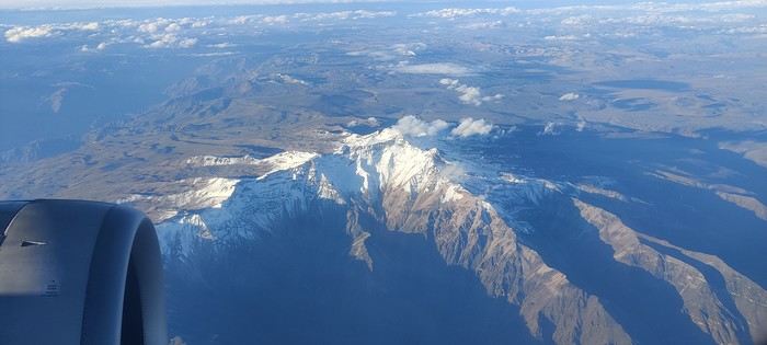
We had lunch at the hotel before heading to the airport. Security checks were quick here too. The LATAM flight went smoothly. From the plane, we flew over arid landscapes, almost devoid of vegetation. A few lightly snow-capped peaks appeared in the distance before landing in Arequipa.


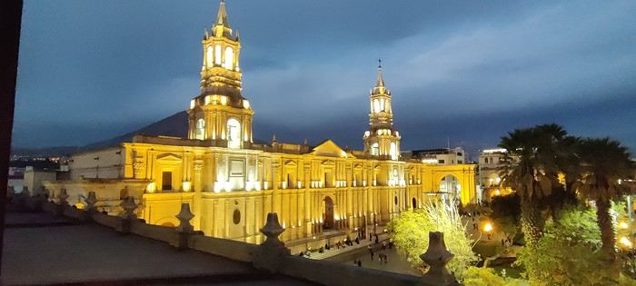
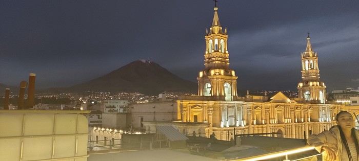
the cathedral seen from our hotel room We then met Rufio, the driver who would accompany us for three days. Right away, we hit it off—he was smiling, attentive, and his French was perfectly understandable, having learned it from his clients. This would make things much easier for us.
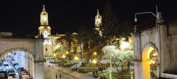
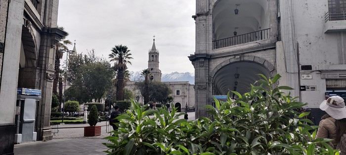
Our hotel was ideally located in a corner of the Plaza de Armas, close to the city’s main points of interest.


We saw this beautiful square for the first time at night.

Tonight, we dined at Zig Zag, a restaurant on the edge of Plaza San Francisco. The place was packed, so they offered us a pisco while we waited for a table. We enjoyed the famous "quartet of meats"—lamb, beef, alpaca, and chicken—cooked on volcanic stone. It was delicious.
LA Larri Veteran ·
Day 3 – Visit to Arequipa’s city center

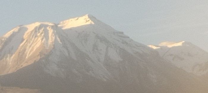
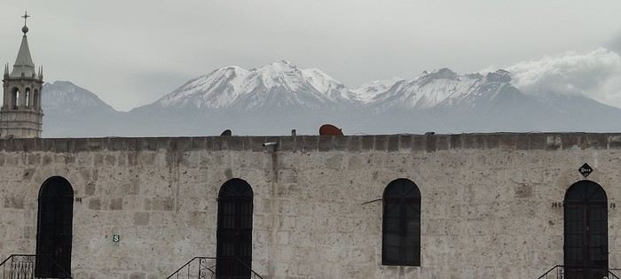
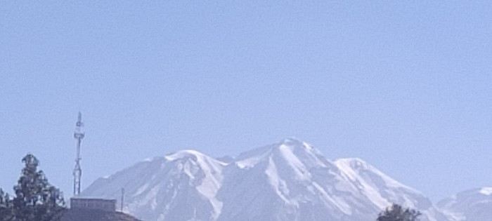
Today, we’re exploring the historic center of Arequipa, nicknamed the "White City" because of the extensive use of sillar, a white or pinkish volcanic rock used to build many of its structures. Our guide is quite a character. At 82 years old, Jorge speaks perfect French, which isn’t too surprising—he taught in France for many years and holds dual citizenship. Passionate about his work and a true scholar, he’s full of stories! His motto is clear: to illustrate and defend the cultural resistance and uniqueness of the Incas against the Spanish conquistadors. Against the backdrop of the snow-capped Misti volcano, we start at the Plaza de Armas, framed by the cathedral and three double rows of arcades.


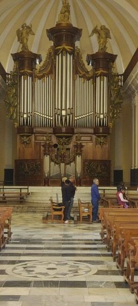
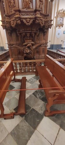
In the center, palm trees, flower beds, and a beautiful bronze fountain topped with a statue called the Tuturutu, which tradition says was the Inca’s official messenger. He was tasked with announcing the Inca’s arrival or alerting the population to important events using a trumpet. This lively square is also the stage for many demonstrations. Peruvians, like the French, seem to be perpetual protesters! We don’t linger long at the cathedral since services are underway. Still, our guide tells us about its tumultuous history. Destroyed by fire, it was rebuilt in 1844 before being severely damaged again by the 1868 earthquake and then reconstructed. It’s imposing, with a façade stretching 108 meters long. Inside, you’ll find an organ imported from Belgium, said to be one of the largest in South America, as well as a pulpit carved in France. The high altar seems relatively modest compared to others we’ll see throughout our trip.


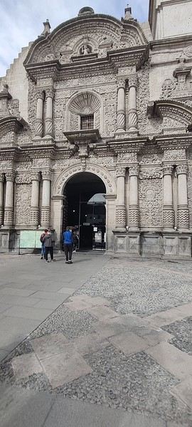
We head to a corner of the square to visit the Church of the Society of Jesus. It, too, has endured many earthquakes and been rebuilt several times. It’s considered a masterpiece of Andean Baroque architecture. Its façade, intricately carved from sillar, blends religious motifs with local culture: angels, serpents, pumas, corn, and even cocoa pods.


Inside, there are numerous sculptures and a gold-leaf altarpiece. Jorge points out a rather original Last Supper: Christ and the apostles are seated around an oval table, with a guinea pig, ears of corn, and local yellow peppers in front of them. One of the many quirks of the Cuzco School painters!

Next, we step into the San Ignacio Chapel, entirely covered in tropical-colored paintings: cherubs, flowers, plants, and multicolored birds fill the walls and vaults.

Then, we head to the stunning cloister, which also features Peruvian-inspired decor: fruits, flowers, and arabesques. The old arcades have been turned into a shopping gallery with souvenir shops, alpaca goods, and a café. From the terrace, the view of the three volcanoes surrounding the city—the Misti, Pichu Picchu, and Chachani—is spectacular.

LA Larri Veteran ·
Continuing our visit of Arequipa’s city center

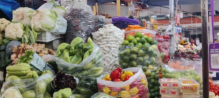
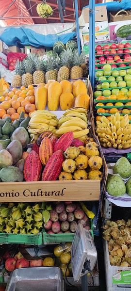
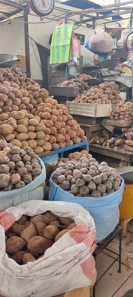
We then head to the market. Its metal structure is attributed to Gustave Eiffel’s workshops, which left several traces in the city. The staircase at the Zig Zag restaurant, where we had dinner the night before, is also said to be Eiffel’s work. The market is packed with goods. What strikes us most is the sheer variety of potatoes and the size of some fruits, especially the avocados and mangoes. We treat ourselves to a glass—or rather, a stein—of fresh fruit juice made to order. A real delight, and at a more than reasonable price.


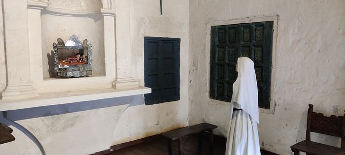
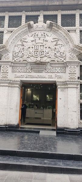
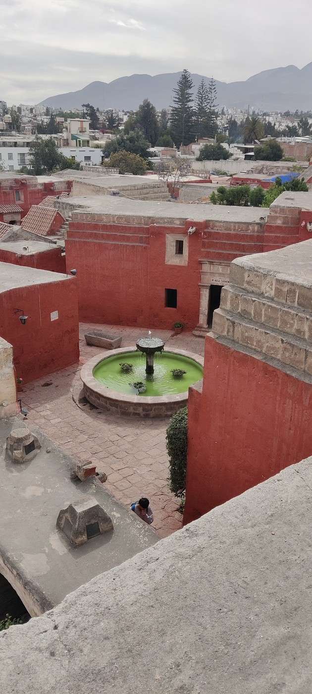
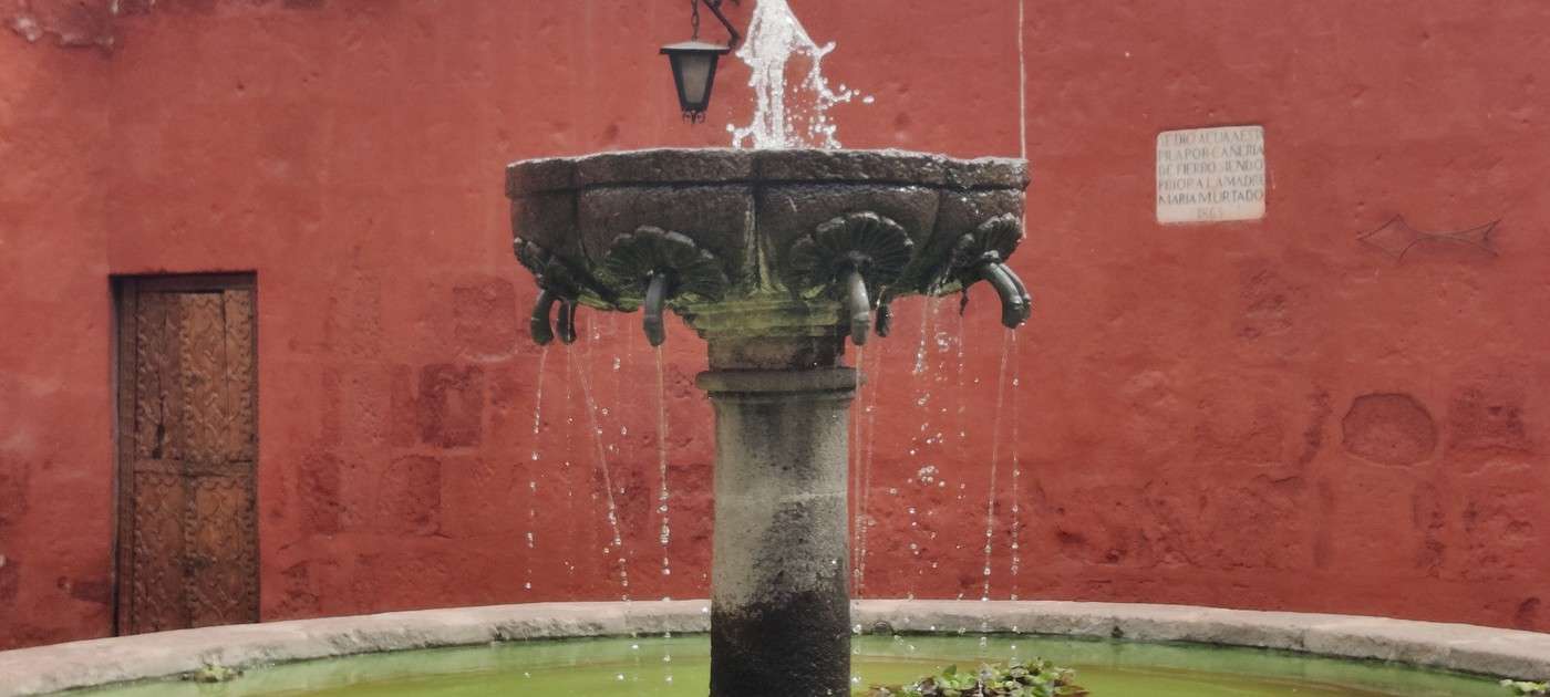
We also buy a pack of coca leaves to chew, said to help ease altitude sickness. Our guide, however, warns us about an important point: here, coca-based products are sold freely for permitted uses. But bringing them into France is illegal if they contain substances classified as narcotics. In other words, it’s best to leave the coca leaves, coca tea, or coca candies behind! He then takes us to the Santa Catalina Convent. Along the way, he points out several richly decorated façades. The banks, he notes with a touch of irony, have taken over some of the city’s most beautiful buildings. Since the convent has its own guides, Jorge leaves us temporarily to book a restaurant for lunch. The site covers an area of 20,500 m². It’s a real city within a city, complete with streets, squares, gardens, fountains, and cloisters. We learn it could house up to 450 nuns, along with servants and, at times, slaves. The monastery was mainly for women from wealthy Spanish-descended families, as the required dowry was high. The wealthiest nuns had private cells and could have several servants, while poorer women could enter without paying. The monastery is entirely built from *sillar*, the volcanic rock characteristic of Arequipa. We’re told the white stones come from Chachani, while the red ones are from Misti. The visit starts in the parlors, where nuns could receive their families under supervision and for a limited time. We then pass through the “arch of silence,” leading to the novices’ cloister. From there, nuns had to observe silence and dedicate their early years to work and prayer before taking their vows. They could still choose to leave the convent, though it risked bringing shame to their families.


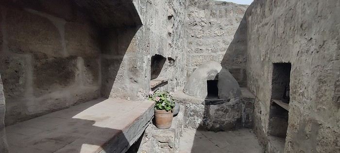
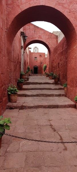
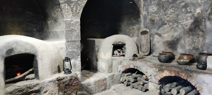
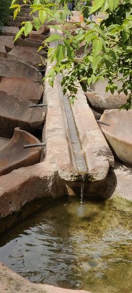
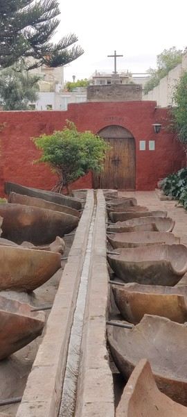
Next, we explore the former dormitory, now a pinacotheca showcasing paintings from the Cusco School, along with different kitchens and long, often flower-lined alleys named after Spanish cities or regions. Red and blue dominate everywhere. We’re told the paintings are regularly repainted, which keeps the monastery vibrantly colorful. The gardens are lush. The most unusual spot might be the laundry area: traditional basins are replaced by half-tubs fed by a clever water system.


All in all, a beautiful visit—both enjoyable and informative. We love wandering, even getting a little lost, in this massive complex of blue, white, and red.

We meet Jorge again at the traditional restaurant *La Victoria*, which he chose for us. He won’t be joining us for lunch, as he has another commitment. We dine on a lovely terrace. My wife orders “pig” and ends up facing a guinea pig split in half lengthwise. Not exactly what she expected! She overcomes her hesitation and gives it a try. The meat is fine, but the skin is overcooked and nearly inedible. For me, the octopus tentacles go down much more easily! We head back to the hotel, stopping to exchange some money for the coming days. The rate here is even better: 4.13 soles for 1 €. We won’t find a better deal!
LA Larri Veteran ·
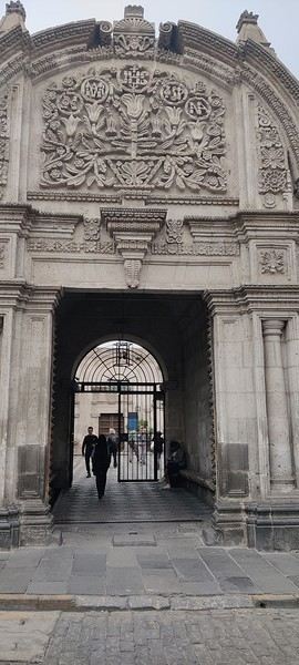
A few photos of the convent, the ornate facades, and the cathedral at night


LA Larri Veteran ·
J4 – Visit to Toro Muerto

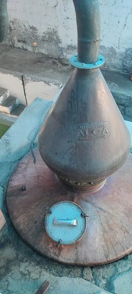
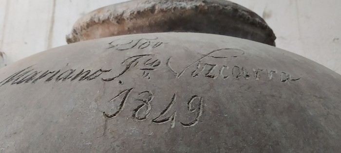
Today, our driver picks us up to take us to Toro Muerto, a renowned rock art site. This visit was suggested by Thomas from the Peru Exclusif agency. The site is located in the central part of the Majes River valley, in southern Peru. We quickly realize our driver isn’t used to going there. On the way, he asks if we want to stop at a vineyard that produces pisco and various wines. Nothing extraordinary, but the visit is time-consuming.


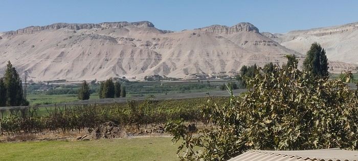
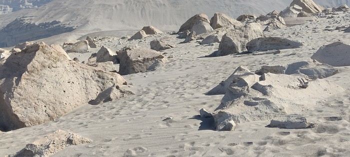
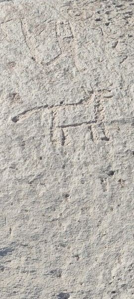
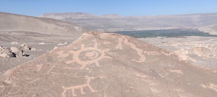
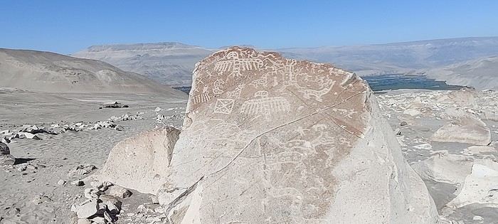
We continue the journey, taking part of the famous Pan-American Highway—a vast road network that, in principle, connects Alaska to the southern tip of South America. The traffic, mostly large trucks, is heavy. We turn off toward the southwest to reach the Majes Valley, about 170 km from Arequipa. Surrounded by towering arid cliffs, it’s a surprisingly green and fertile valley where vegetables, fruits, and vines are grown. We arrive around 1 p.m., after more than four hours on the road, in Querulpa, and get a bit lost trying to find the site entrance. There’s no one at the reception or on the site itself. In the distance, we see a moped speeding toward us through a cloud of dust—it’s the Ministry of Culture representative coming to collect the entrance fee! After paying, he invites us into a vast desert area to discover the famous petroglyphs, with nothing more than a "figure it out yourselves!" So there we are, in the middle of the desert under the scorching sun, surrounded by thousands of volcanic rocks featuring carvings of animals—camelids, felines, snakes, and all kinds of birds—as well as plants, humans, anthropomorphic figures, and geometric shapes, scattered over several square kilometers. Contrary to what we thought, these carvings weren’t just made by the Wari, who preceded the Incas. They were created by several populations that succeeded one another in the region, particularly during the Wari and Chuquibamba periods, up to the Inca era. Most of the carvings are roughly dated between 800 and 1500 CE. The site now has 2,600 officially inventoried carved rocks spread over a vast area. Under these conditions, it’s easy to see why it’s so hard to find your way! Without a guide, a map, or any signs, we wander around somewhat randomly in search of the most emblematic carvings.


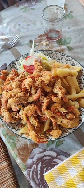
We leave dripping with sweat, feeling like we missed the best ones. It’s 2:30 p.m., and lunchtime. We head to the banks of the Majes River, where the famous river shrimp is caught, in search of a restaurant serving the renowned *Chupe de Camarones*!


It’s very filling and cheap, but let’s just say it wasn’t amazing. It’s past 4 p.m. when we leave the table to head to the site near Querulpa, where dinosaur footprints were discovered by chance in 2002. The Querulpa Chico site is particularly known for its tracks of large carnivorous dinosaurs. Big disappointment: the site closes at 4 p.m.! All that’s left is to head back to Arequipa. Night falls around 6 p.m., and it’s only at 8:30 p.m., in total darkness, that the driver drops us off at the hotel! He’s exhausted, and it’s understandable—we’ve been on the road for over twelve hours. Tonight, we’ll settle for some snacks for dinner. Day’s summary A lot of kilometers and fatigue for a visit that, in the end, was quite disappointing, mainly due to the lack of information. Toro Muerto is truly exceptional in its size and the number of carvings it holds. But without a guide, a map, or any signs to locate the most remarkable petroglyphs, it feels more like randomly searching for carved stones than discovering a major archaeological site. It’s easy to see why Toro Muerto isn’t part of the usual tourist circuits. In our opinion, the visit should be reserved for true rock art enthusiasts… or done with a guide who can take you directly to the most interesting carvings!
LA Larri Veteran ·
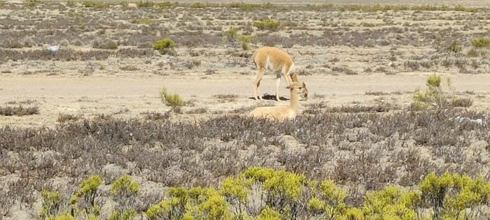
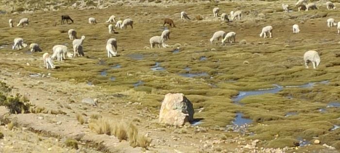
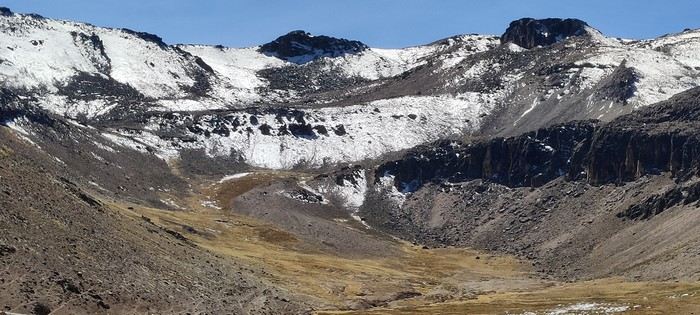
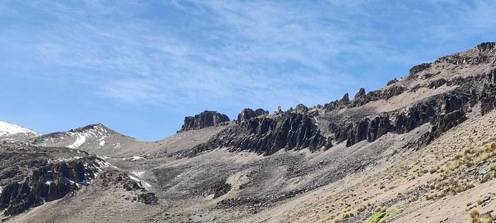
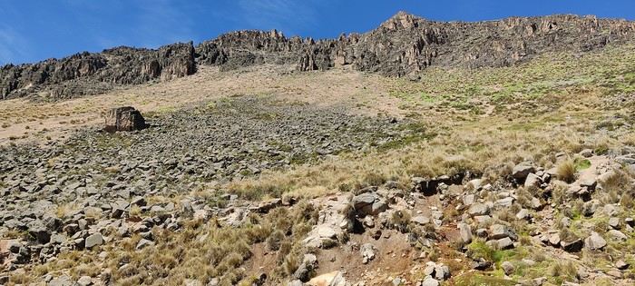
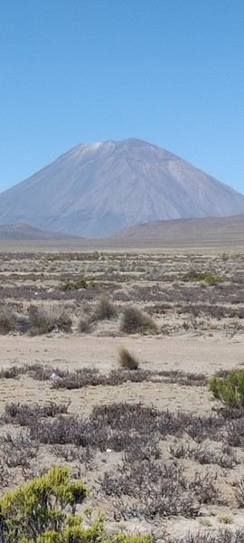
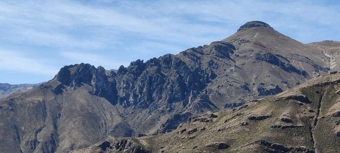
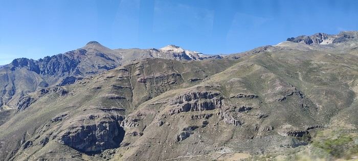
Day 5 – On the Way to Colca Canyon Despite the tough day before, Rulio is on time to drive us to Colca Canyon. We head northwest, skirting the Chachani volcano before crossing the Salinas and Aguada Blanca National Reserve. The road itself is an attraction, with its endless desert landscapes. It gives us the chance to spot our first vicuñas, as well as llamas and alpacas. We make a few stops to admire the scenery and take photos.


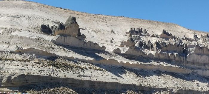
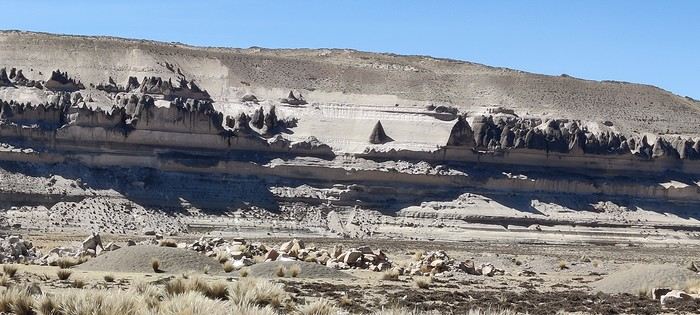
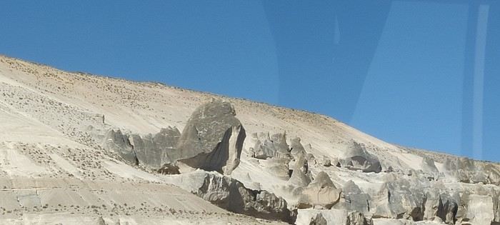
Our driver has us buy coca candies to prepare for the altitude. A little further on, in Patapampa, we’re offered coca leaf tea, presented as a way to combat altitude sickness. In the area, we can also see the Puruña stone forest, sculpted by erosion.

We continue to the Patapampa Pass, at 4,910 meters. The Volcano Viewpoint lives up to its name: it offers a remarkable view of the snow-capped peaks of Ampato (6,288 m), Sabancaya (5,976 m)—an active volcano—and Hualca Hualca (6,025 m). Further on, beyond the canyon, stands the Chila mountain range, home to Mismi, often considered the source of the Amazon.


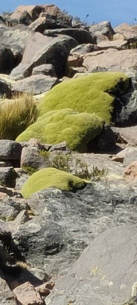
At this altitude, vegetation is scarce. One plant catches our attention: Azorella compacta. This perennial Andean plant is remarkably adapted to the cold, drought, and extreme temperature variations. It forms large, compact cushions in a nearly fluorescent green, hugging the terrain and sometimes blending into the rocks.


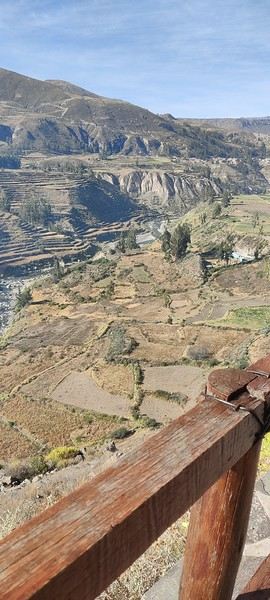
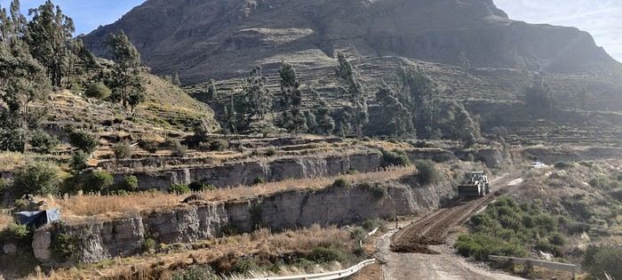
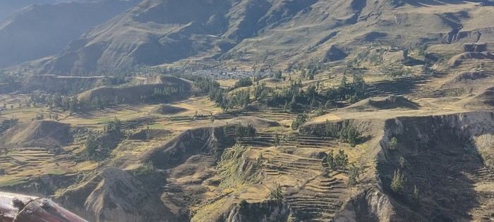
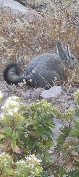
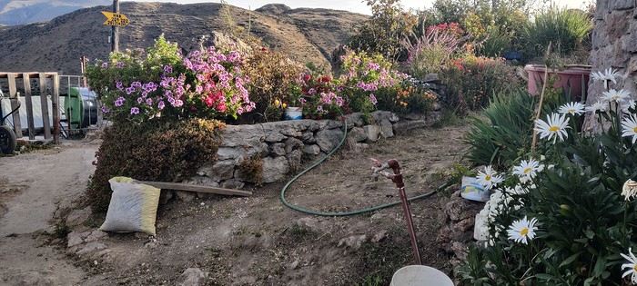
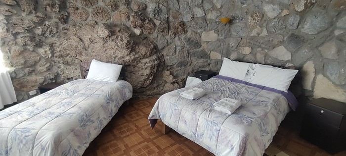
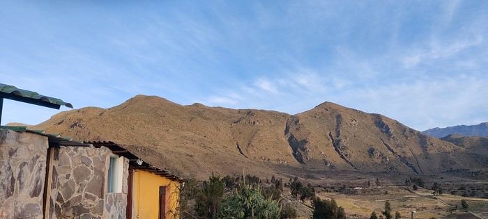
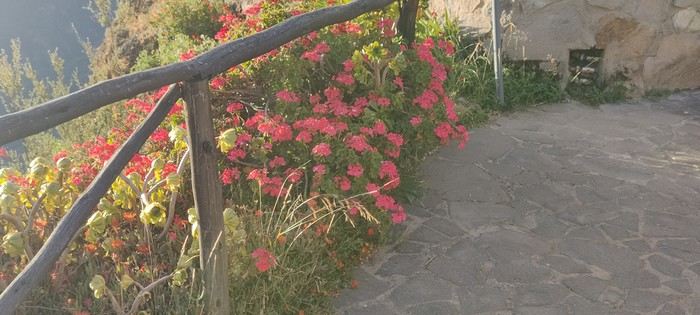
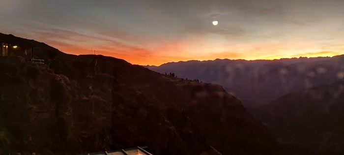
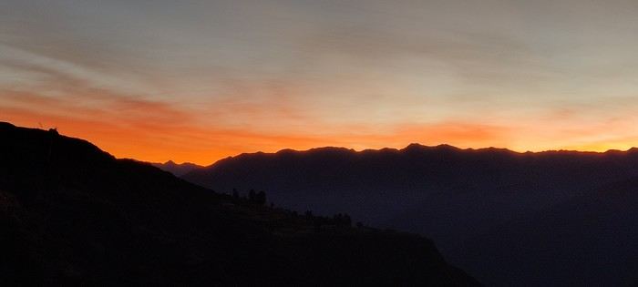
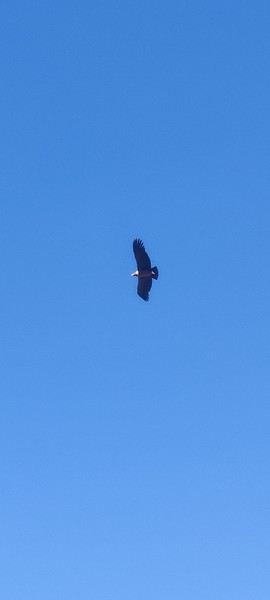
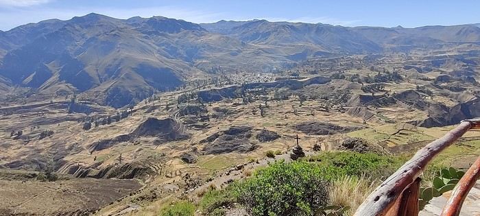
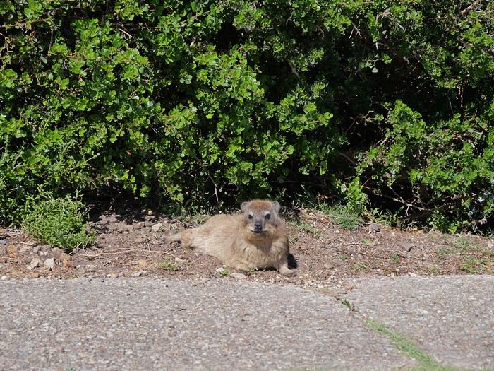
After the pass, we begin the descent toward Colca, ending with a breathtaking view of Chivay, the gateway to the valley. We stop for lunch at a restaurant offering a buffet at a bargain price. The food is decent, and a small folk orchestra provides Andean music for entertainment. We hit the road again toward the village of Yanque, located at about 3,400 meters. The change in scenery is spectacular: the valley is lush and contrasts sharply with the desert expanses we crossed in the morning. Here, the landscape bears the marks of centuries of agriculture. The terraced fields testify to the patient work of the people who shaped the slopes to make the most of every bit of land. Every nook seems to have been cultivated. We spot tiny plots, some perched on slopes that look nearly inaccessible. Today, some are gradually being abandoned in favor of larger, easier-to-farm fields. We pass through several small villages, some nestled in the valley bottom, others on the heights of the canyon we’re skirting on the left. As we drive, we truly grasp the scale of the canyon, with its steep slopes crisscrossed by zigzagging paths. For the uninitiated, Colca is often touted as one of the deepest canyons in the world. Its maximum depth is generally estimated at around 3,270 meters, far exceeding that of the Grand Canyon, which maxes out at just under 2,000 meters. However, it’s outdone by the Cotahuasi Canyon, also in the region, with a depth estimated at around 3,350 meters. While the Grand Canyon impresses with its vastness, mineral quality, and diversity of rock formations, Colca feels greener and often more open. So, despite the dizzying numbers, we don’t get the same sense of depth. Along the roadside, our driver points out ancient tombs carved into the rocks and surrounded by small stone walls. A little further on, we spot a vizcacha, a large Andean rodent closely related to the chinchilla. We then stop at the famous Cruz del Cóndor viewpoint. But we arrive too late to see the condors in flight: by this time, they’re gone, and even the tourists have left. We’ll have to catch the show another time. To avoid tiring our driver, who still has to return to Arequipa, we ultimately skip the hot springs and ask him to take us directly to our hotel, located about ten kilometers beyond Cruz del Cóndor. We arrive around 4:30 PM at La Granja de Colca hotel, built on the edge of the cliff. The view and setting are spectacular. The hotel has its own viewpoint, where we’re lucky enough to spot our first condors and enjoy the sunset. To complete the scene, the garden is in full bloom. We’re the only guests. Fortunately, the hotel has a good restaurant where we dine by the fireplace, a welcome warmth as the temperature drops quickly at this altitude. We then head back to our room, where some walls are actually part of the cliff’s rock face. We definitely don’t regret this choice of accommodation.
LA Larri Veteran ·
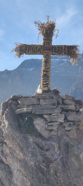
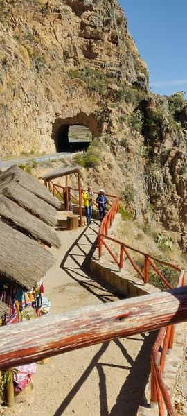
On the road to Colca Canyon: a few photos


LA Larri Veteran ·
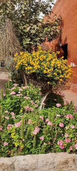
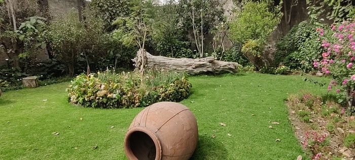
Photos around our hotel


LA Larri Veteran ·
Day 6 – Colca Canyon, Chivay, then bus to Puno

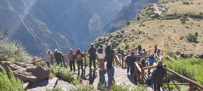
A new driver picks us up from the hotel. His mission: to take us back to Chivay with a few stops along the way. Our bus to Puno is scheduled for 1 PM. Since he’s early and has already driven an hour to get to us, we suggest he grab breakfast at the hotel before heading to the Cruz del Cóndor. It’s nothing like the day before! It feels like all the tourists have arranged to meet here. Parking is tough, and to reach the canyon’s edge, we have to push through a dense, noisy crowd.


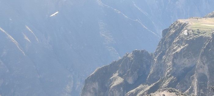
Most people seem more interested in selfies than the condors. As for the birds, we spot a few, but there’s no real show. The site is famous for condors riding the updrafts from the canyon. We get back in the vehicle, and our driver drops us off about two kilometers away at the Cruz del Cura viewpoint. He points out a trail: “Follow it to the viewpoint.” We do, and after a short walk, we find ourselves alone in the world, perched on the edge of the cliff with the Río Colca some 1,200 meters below. And then, the scene changes! Dozens of condors are here. Their flights are majestic, and some soar right over our heads. They’re hard to photograph, but it doesn’t matter—they’ll be etched in our memories for a long time. This is finally our real encounter with the Colca condors.


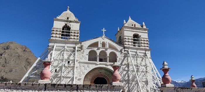
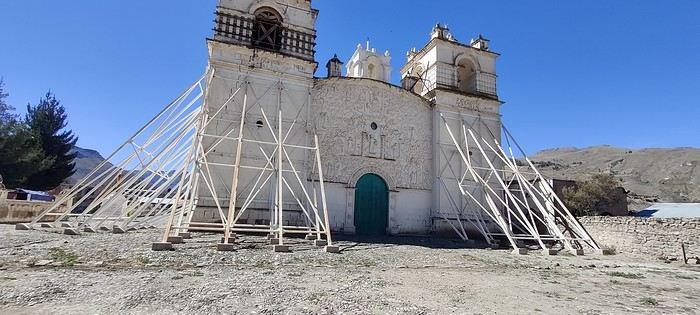
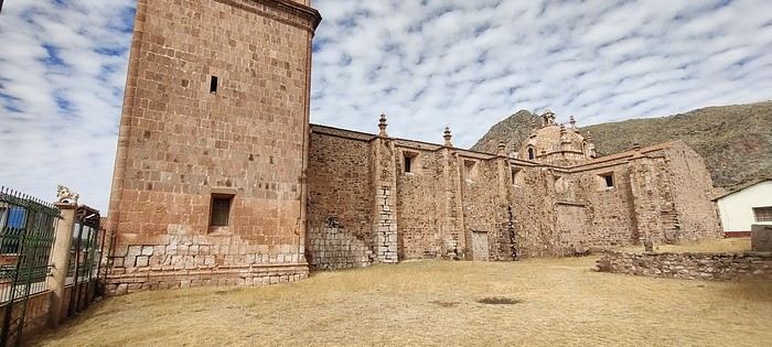
We continue toward the small village of Maca. The church’s bell towers are reinforced with buttresses—the building has suffered from the earthquakes that regularly hit the region. Inside, a massive metal framework is meant to prevent another collapse. The contrast between the old structure and these makeshift supports is striking.


We can’t resist trying a local specialty, the “Colca Sour,” made with pisco and sancayo, a local cactus fruit. Not bad at all! Next stop: Yanque, a peaceful, dusty village dominated by the Sabancaya volcano. Still active, it’s a reminder that this region’s landscapes and architecture have been shaped by volcanic activity and earthquakes. Here too, the church bears the marks of tremors. The road gradually descends toward Chivay. We make a stop at the market and the main square. As elsewhere, a few dressed-up llamas wait for tourists looking for exotic photos. Our driver then takes us to a restaurant where we have a buffet lunch. He stays with us until we’re settled on the Cruz del Sur bus to Puno. The trip is long but far from monotonous. The bus stops several times so passengers can stretch their legs. We pass through Patapampa again and its stone forest, beautifully located at the crossroads of routes connecting Arequipa and Puno.
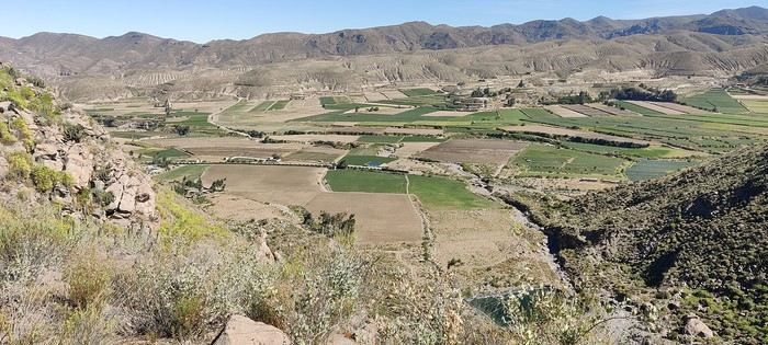
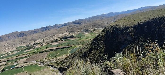
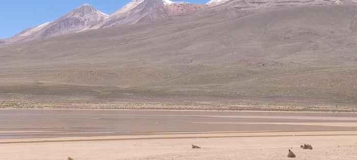


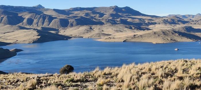
For a while, we follow the shores of Lake Lagunillas. The landscapes are stunning, but night falls quickly.


We admire our driver’s skill as he navigates the narrow streets of the villages we pass through. The bus drops us off in a peripheral neighborhood of Puno at 7:30 PM. Nice surprise: the company provides free shuttles to take travelers to their hotels. Ours is well located, just steps from the main square and its cathedral. Exhausted from the long day on the road and the altitude—Puno sits at about 3,800 meters—we settle for pizza before collapsing into a much-needed sleep.
HO Holigirl Veteran ·
Hi Jean-Claude,

Thanks for this new Peruvian travel journal. I really love how you describe your feelings. The journal is packed with info for future travelers—it’s awesome! 🙂 Can’t wait to see what’s next!
LA Larri Veteran ·
Hi there, and thanks for your message. I was starting to feel a little lonely. Your message is encouragement to keep going. If you're interested, I'll do a roundup of practical info at the end of my travel journal. More to come soon!

JC
HO Holigirl Veteran ·
I'm interested 🙂 And not just a little!
MU Muriel18 Globetrotter ·
I was starting to feel a little lonely.

It happens sometimes (often?) when not many people chime in on a travel journal... but that doesn’t mean no one’s reading 😉 Me too, I’m 😎

Just out of curiosity: does Coke really work for altitude sickness?
LA Larri Veteran ·
Hi Muriel,

Thanks for reading. Every message is encouragement to keep writing. To answer your question about Coca, it's hard to be certain. Personally, I think it's psychological. But since Peruvians use it, there must be some effect. I didn’t suffer from AMS (acute mountain sickness), but saying coca helped me is a stretch. My wife got sick around Lake Titicaca: 3 days at 3,900 m! We had Diamox but didn’t use it. On the other hand, exertion was tough at altitude—shortness of breath! I should add that we’re not particularly athletic, and we’re getting older. JC
69 69Eric Veteran ·
Hi there, This is a destination I don’t know at all, so I’m keeping a low profile. But great photos, well-documented story—I’m following along! Have a good weekend!
LA Larri Veteran ·
Thanks Eric,

More to come.
LA Larri Veteran ·
Day 7 – Lake Titicaca, the Uros and Amantani Islands

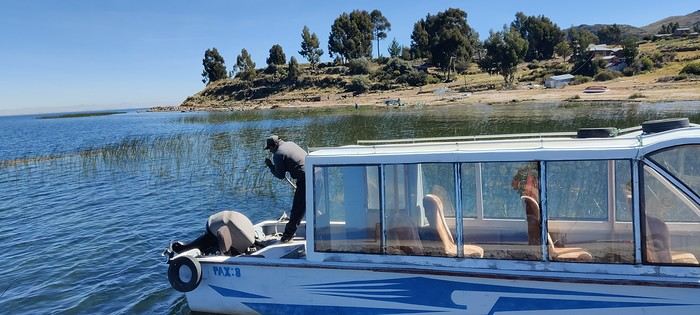
A taciturn taxi driver takes us to Llachón to catch a private boat. We’ll barely hear a word from him during the hour and a half drive! When we arrive, he hands us over to the boat’s “captain.”


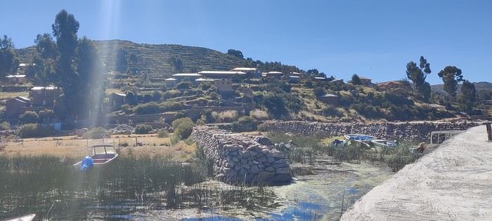
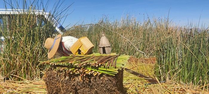
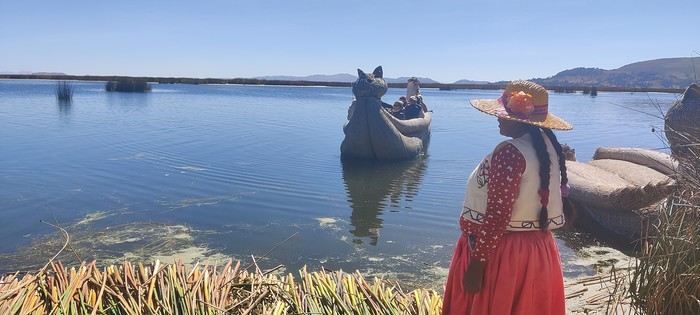
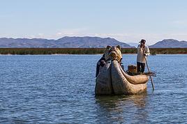
We sail for about an hour on the legendary Lake Titicaca. Straddling Peru and Bolivia at nearly 3,810 meters above sea level, it’s considered the highest navigable large lake in the world. It’s especially famous for its floating islands, built by the Uros people from totora, a reed that grows abundantly in the lake’s shallow waters. We land on one of these islands. Originally, the Uros developed this floating habitat to protect themselves from conquests and preserve their autonomy from other regional peoples. Today, the communities living on these islands keep the tradition alive, even though tourism has become a major part of their livelihood. The welcome is warm. The community leader, representing three families here, explains the construction technique using a model that shows the different steps. It’s very well done, educational, and informative. It all starts with harvesting the totora, which is then dried. This reed is used to build the islands, houses, and boats. You can even eat the tender part, which tastes a bit like bamboo shoots. The island’s base is made of blocks of roots and vegetable soil where the totora grows. The roots intertwine to form a compact mass. These blocks are then assembled and tied together to create a platform large enough to house several families. The whole structure is held in place and anchored with stakes. Once the structure is stabilized, several layers of dried totora reeds are arranged in a crisscross pattern. They form a thick insulating layer that protects against moisture. The total thickness can reach several meters.


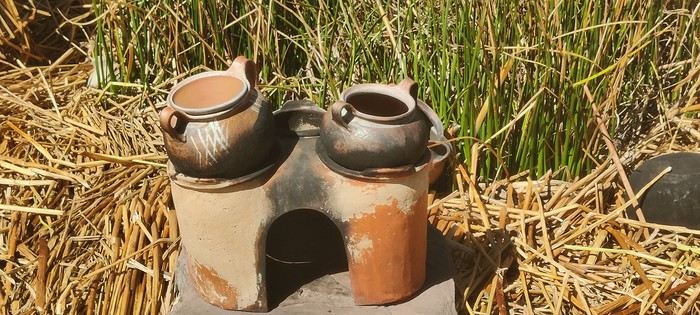
But the work never stops: the inhabitants regularly add new layers of reeds because those on the surface eventually decompose, and the island gradually sinks. After a few decades, an island usually needs to be rebuilt. The houses are typically one-room structures made mainly from totora. The “kitchen” is set up outside to minimize fire risks.


After the explanations, we’re shown the inside of a house and then offered a ride on a traditional boat.


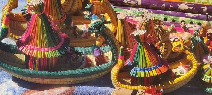
To supplement their income, the women in the community also make embroideries and small trinkets to sell to tourists.


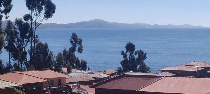
We board our boat again, heading toward Amantani Island. This is where we’ll spend the night at Ivan’s place. He meets us at the port and helps carry our backpacks up to his home. Let’s just say the climb is steep! We stop every twenty meters or so to catch our breath. His family—his wife Flavia and their two children—welcomes us with big smiles. Despite the language barrier, we manage to communicate. A good meal of soup and trout is served, and then we settle into our room, simple but clean. The family lives off their vegetable production, hosting tourists, and a small shop where they sell basic necessities, including pharmaceuticals. To fill our afternoon, Ivan offers to take us one by one on his motorcycle to the island’s heights. The peaks of Pachatata and Pachamama, rising above 4,000 meters, dominate the island. There’s no way we could’ve made it up on foot—it’s too steep! And when I say “at the summit,” that’s not entirely true. We still have to climb 200 meters to reach the sanctuary at the very top.


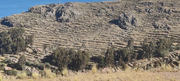
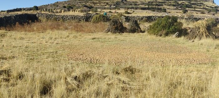
The effort is totally worth it. From up there, we have a 360° view of the lake, the surrounding islands, and the village below. It’s breathtaking. Farmers work in their small plots, growing quinoa and potatoes, and greet us with smiles as we pass. In the distance, we spot snow-capped peaks of the Andes. We start the long descent, stopping frequently to catch our breath. We pass by a soccer field, and I wonder how they can run at this altitude! We wander through the village streets for a bit. Ivan had told us: if you have trouble finding his house, just ask for “Ivan’s place”—everyone knows! A well-deserved rest on the sunny terrace before dinner, which is very frugal: soup followed by vegetables.


We head back to our room. It’s cold, and we struggle under the weight of five heavy blankets that restrict our movements. A night at over 4,000 meters above sea level: an experience we won’t soon forget.
LA Larri Veteran ·
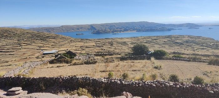
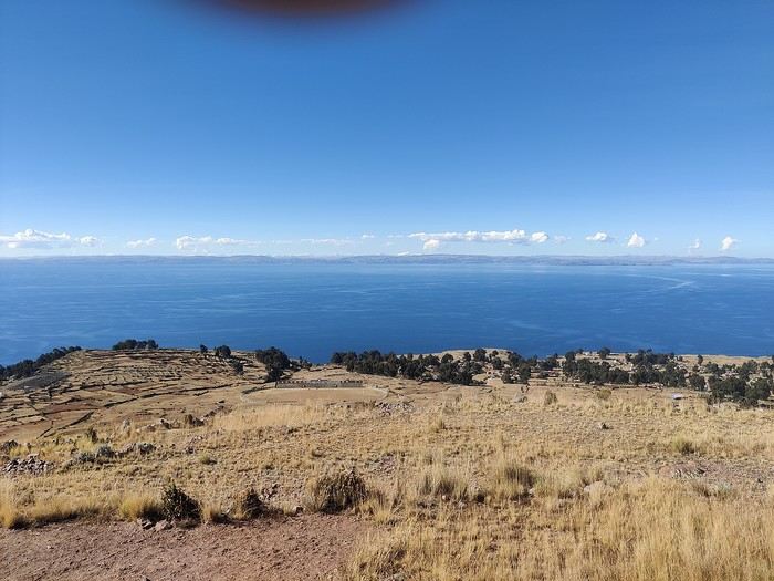
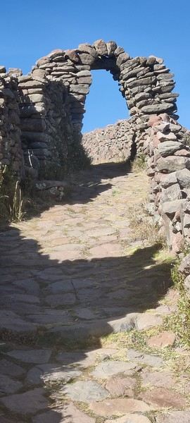
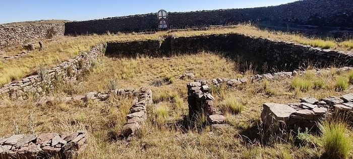
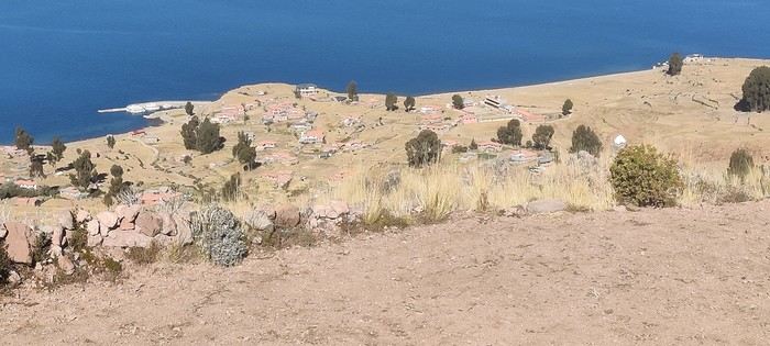
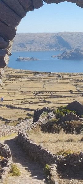
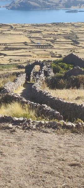
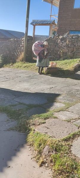
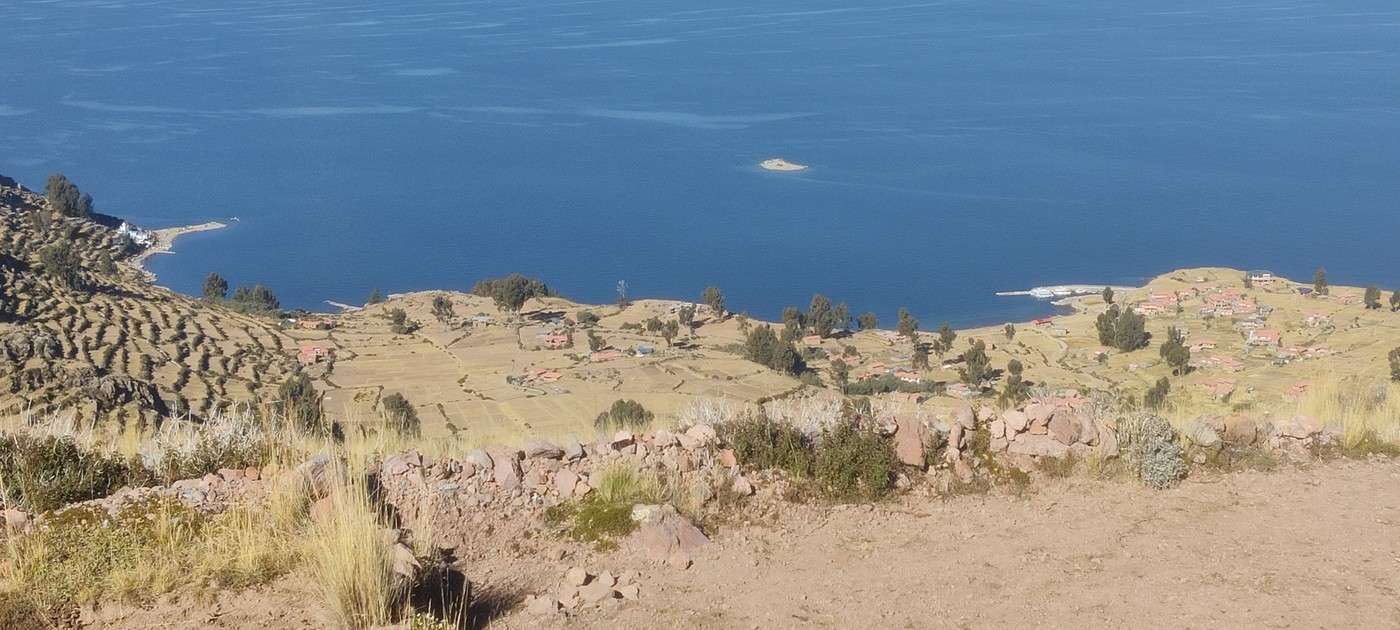
A few photos of Amantani: the sanctuary at the summit Views from the summit: Potato field:


The descent:

Everyday life scene:


J8 – Amantani, Taquile and return to Puno

Today, our day will be pretty relaxed. Flavia made us blinis for breakfast. Then Ivan takes us to the boat that will take us to Taquile Island before bringing us back to Puno. After an hour’s sail, we dock. The captain offers those who want to climb up to the village, stroll around a bit, have lunch there, and then descend to another dock. For our part, we decline: the climb is too steep, and my wife is starting to feel the effects of the altitude. So we wait about three hours before boarding the boat again toward the other dock. From there, we head to Puno, where we arrive around 3 PM. A taxi drops us off at the hotel. Getting some comfort feels good. Dinner at a restaurant, then a long sleep—tomorrow’s going to be a tough day!
LA Larri Veteran ·
Day 9 – From Puno to Cusco: The Road of the Sun

The hotel serves a good breakfast starting at 5:30 AM, which lets us catch a taxi by 6 AM to reach the bus departure point. Inka Express had promised a comfortable vehicle. It’s a bit less so than expected, but still perfectly fine. The day ahead will be long on the famous "Road of the Sun."

As soon as we settle in, we’re given a small packed lunch for our midday meal. Cold and hot drinks are available throughout the trip, and the Wi-Fi is free. Four tourist stops are planned along the way, and our guide will also act as our escort.

We start with the Pukara Museum, dedicated to this ancient pre-Inca civilization from the Lake Titicaca region. It’s a small museum with a few explanations—nothing mind-blowing. Another option is offered for those interested: a ceramics workshop.


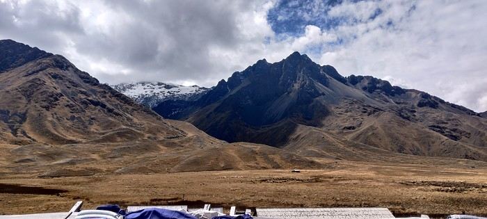
Next, we stop at La Raya Pass, at 4,335 meters above sea level. The view of the surrounding peaks is stunning, and the crisp mountain air is invigorating!


Around 1 PM, we have lunch at a typical buffet restaurant in Sicuani. My wife is suffering from acute mountain sickness today. Luckily, the bus is equipped with an oxygen bottle, which helps relieve her symptoms somewhat.

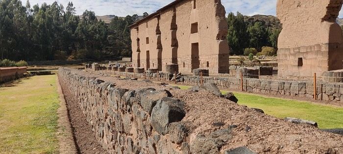
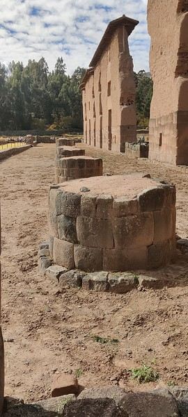
The next stop is the Raqchi archaeological complex. The visit is fascinating. The site is dominated by the monumental ruins of a temple dedicated to Wiracocha, the creator god in Inca mythology.

All that remains of the temple today is the spectacular central wall, which once reached a height of around 18 meters, according to some sources.


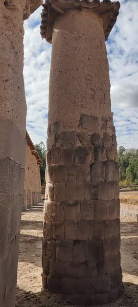
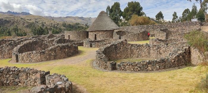
On either side stood two rows of eleven circular columns. The lower part was made of stone, and the upper part of adobe. They supported a massive double-pitched roof, now gone, which you have to imagine. The entire structure was truly monumental: the temple measured about 92 meters long by 25 meters wide. Around it were some 150 *colcas*—circular granaries for storing food—as well as fountains, baths, and dwellings.


The site had a religious function but also served economic and administrative purposes. The guide shows us reconstructions that help visualize the original scale of the complex.

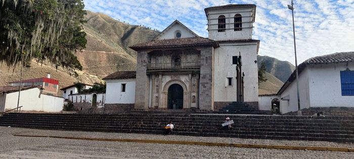
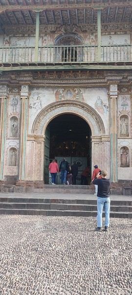
Finally, before reaching Cusco, we make one last stop at the Church of Saint Peter in Andahuaylillas, grandly nicknamed the "Sistine Chapel of the Andes." From the outside, this small church doesn’t look much different from the other religious buildings we’ve seen.


But as soon as you step inside, it’s a burst of color: frescoes, gold leaf, painted ceilings, intricately carved and gilded altarpieces... The contrast is striking. Sure, the comparison to the Sistine Chapel in Rome is a bit exaggerated, but the interior is still spectacular.

We don’t arrive in the outskirts of Cusco until 7:30 PM, due to road conditions, construction, and the various stops. That’s over twelve hours on the road! The "Road of the Sun" lives up to its name... but it’s a long journey!

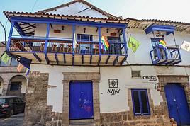
The hotel sent a taxi to pick us up. We’re completely exhausted as we check into our room. To be honest, our first impression isn’t great. But over the next few days, we’ll grow to like it. It’s clean, the staff is friendly and helpful, the location is perfect—just 500 meters from the Plaza de Armas—with plenty of restaurants nearby. It’s quiet, and most importantly, the price is unbeatable: 25 € per night.
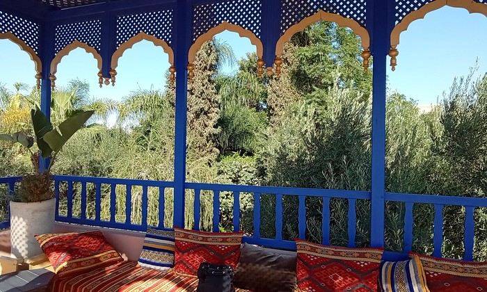

For our first meal in Cusco, we choose El Olivo—great choice! We’ll end up going back several times. The waiter even starts recognizing us and goes as far as offering us dessert. A lovely way to start our stay in Cusco.

Similar discussions

You might also like