ROUTE DE MONTAGNE - PARC NATIONAL CHRISTOFFEL
Coordonnées GPS: 12.350635, -69.106408 Centre d'accueil
Après avoir monté au sommet du Mont Christoffel, nous avons décidé de parcourir en voiture la route de montagne qui serpente dans le secteur sud du parc national Christoffel afin de visiter certains sites historiques et pittoresques.
Un petit guide nous avait été remis au centre d'accueil. Il contient entre autres une carte qui indique les différents attraits à voir sur cette route qui d'ailleurs est à sens unique. Nous nous en sommes servis comme outil de référence.
Nous nous sommes d'abord rendus à la mine de cuivre. Un court sentier mène à un trou profond clôturé qui marque l'emplacement de cette mine.
Cependant, comme il n'y avait pas assez de cuivre dans la roche, le projet d'exploitation a été abandonné.
Certaines roches portent encore aujourd'hui des traces de minéraux qu'elles contiennent.
Par la suite, nous nous sommes rendus visiter les ruines de Zorgvlied, une ancienne plantation.
Depuis le stationnement, un sentier nous conduit dans une forêt composée d'arbustes et de nombreux cactus, dont certains sont réellement gigantesques.
En peu de temps, nous atteignons les ruines d'un grand bâtiment qui autrefois devait être la maison des propriétaires. Il n'en reste que la structure en pierre.
Jadis, le porche de cette maison offrait une vue spectaculaire sur la côte nord. Cette vue est maintenant obstruée par les arbres et les cactus qui ont proliféré dans ce secteur.
Le long du sentier, il y a une structure ronde en pierre dont l'utilisation demeure incertaine.
Certains croient que les esclaves y étaient attachés et battus. D'autres pensent plutôt que c'était un phare dont les brigands se sont servis pour attirer les navires vers la côte et ensuite les piller.
Il y a de belles plantes le long du sentier dont une multitude de broméliacées qui tapissent joliment le sol.
Nous avons poursuivi notre randonnée sur le sentier (balises rouges) et avons aperçu un bel iguane qui demeurait immobile dans le but de passer incognito.
Le sentier mène à la route principale et il continue de l'autre côté de la route. En ce qui nous concerne, nous sommes retournés au stationnement.
Par la suite, nous nous sommes arrêtés à un point de vue. Celui-ci offre une vue lointaine sur les criques de Boka Tabla ainsi que sur le Mont Christoffel situé du côté opposé.
Nous avons finalement effectué le tour complet de cette route.
Il est possible de faire des arrêts à quelques endroits en bordure de la route pour obtenir de jolis points de vue sur le littoral ainsi que sur le Mont Christoffel.
Malgré le fait que la route est très étroite, sinueuse, abrupte et amochée à certains endroits, elle est tout de même praticable avec une voiture standard.
Cependant, à un moment donné, la pente ascendante était tellement abrupte que nous avons eu de la difficulté à la gravir car elle était recouverte partiellement de gravier qui rendait l'adhérence des pneus pratiquement nulle.
Donc, si vous vous sentez à l'aise de conduire dans ces conditions, n'hésitez pas à vous y aventurer.
https://youtu.be/Td5kQkMC4Gw







April 5 - Day 1
After as many weeks as I have fingers on my right hand, we're hitting the road again, fully recovered from our pharaonic adventure. Back in France to drop off our daughters (sorry, girls!), this time it's just the two of us, ready to be welcomed by a new destination. They say it offers one of the richest cultural heritages in the world for those willing to put in the effort. It's the land of the ancient Silk Road, where we'll follow a journey steeped in history and discoveries straight out of *One Thousand and One Nights*. A former Soviet bloc region independent only since 1991, we'll be walking in the footsteps of Genghis Khan, Tamerlane, Alexander the Great, Marco Polo...
Another fun fact about this country: it's strictly forbidden to import porn on your phone. True story. The same goes for painkillers! Unless it's about sodomy—though the two don’t seem connected, that’s just how it is. Don’t ask me why! Anyway, I’m getting off track. Here’s the big question: Where do you think we’ve just landed?... To give you a hint, the locals are known for being incredibly welcoming. No sooner said than done—our first taxi driver, proud to transport French travelers, refused to let us pay for the ride. Great vibes for these two weeks ahead. So, any guesses? Uzbekistan!!!
After as many weeks as I have fingers on my right hand, we're hitting the road again, fully recovered from our pharaonic adventure. Back in France to drop off our daughters (sorry, girls!), this time it's just the two of us, ready to be welcomed by a new destination. They say it offers one of the richest cultural heritages in the world for those willing to put in the effort. It's the land of the ancient Silk Road, where we'll follow a journey steeped in history and discoveries straight out of *One Thousand and One Nights*. A former Soviet bloc region independent only since 1991, we'll be walking in the footsteps of Genghis Khan, Tamerlane, Alexander the Great, Marco Polo...
Another fun fact about this country: it's strictly forbidden to import porn on your phone. True story. The same goes for painkillers! Unless it's about sodomy—though the two don’t seem connected, that’s just how it is. Don’t ask me why! Anyway, I’m getting off track. Here’s the big question: Where do you think we’ve just landed?... To give you a hint, the locals are known for being incredibly welcoming. No sooner said than done—our first taxi driver, proud to transport French travelers, refused to let us pay for the ride. Great vibes for these two weeks ahead. So, any guesses? Uzbekistan!!!
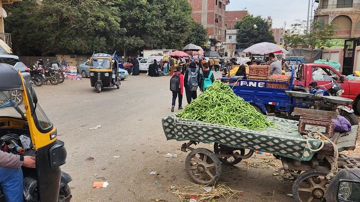
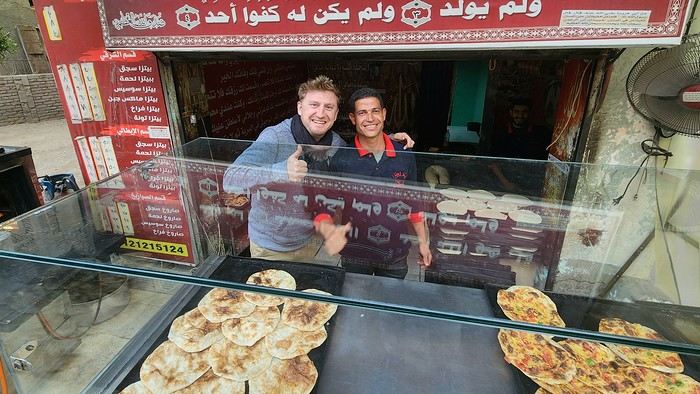
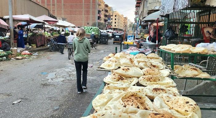
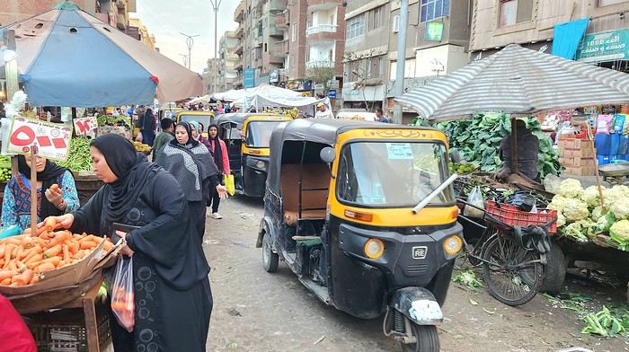
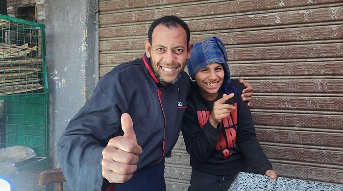
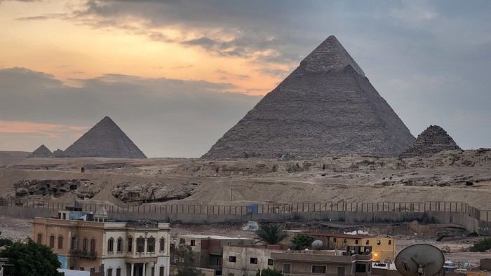
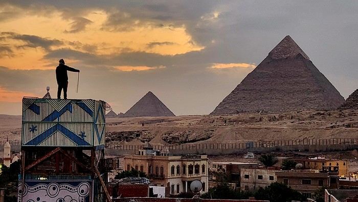
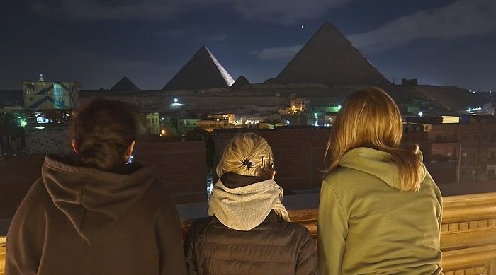

 A little sneak peek?




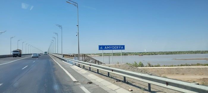
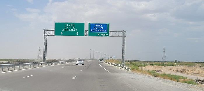
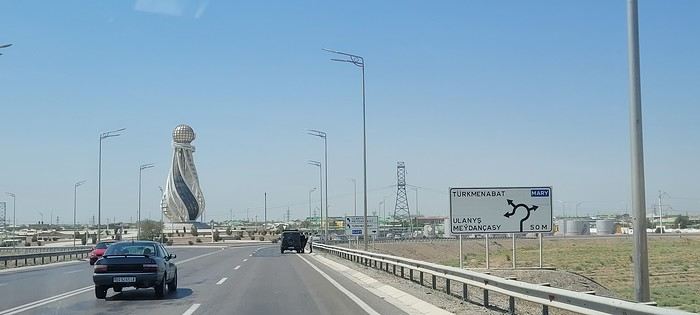
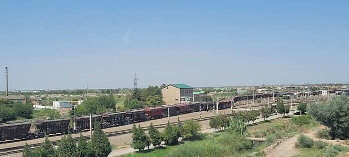
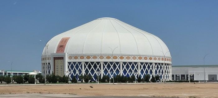
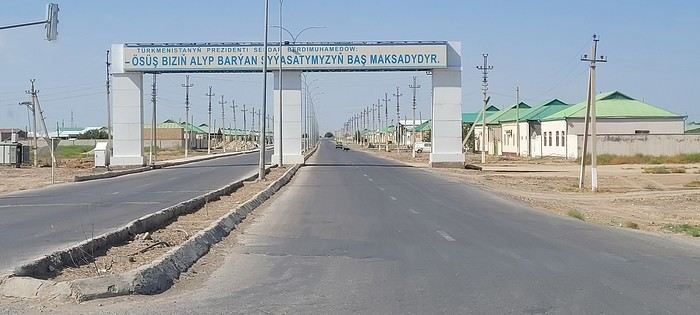
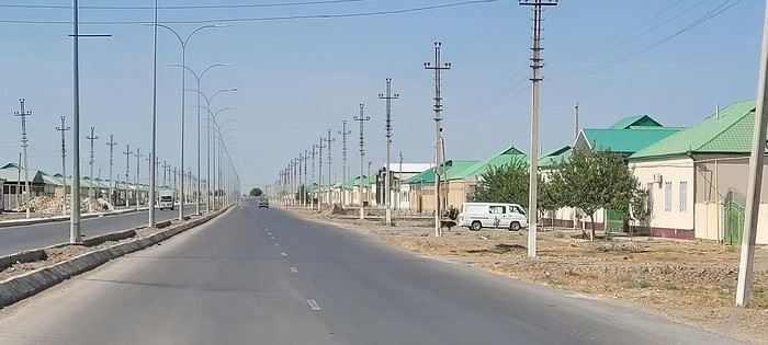 Roundabouts are particularly interesting because they feature emblems of Turkmen culture, like the dog, a carpet, the Ahal Teke horse, or Muslim symbols, even though the presence of Islamic artifacts is quite limited.


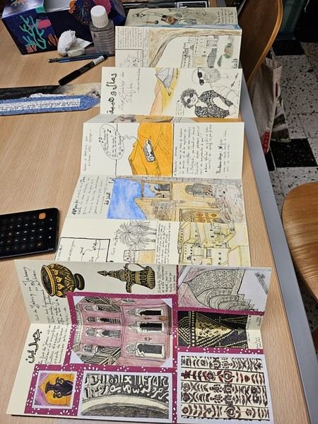
 I’m inviting you on a stroll through my drawings—a completely subjective, far from exhaustive, and totally personal take, since it’s based on my own sketches. I put this travel journal together after returning in late 2024, mostly using felt-tip pens and pencils, with a few collages thrown in. I worked from our personal photos.
 And in Kyoto, Nishiki Market:






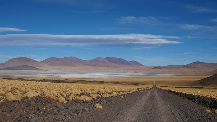
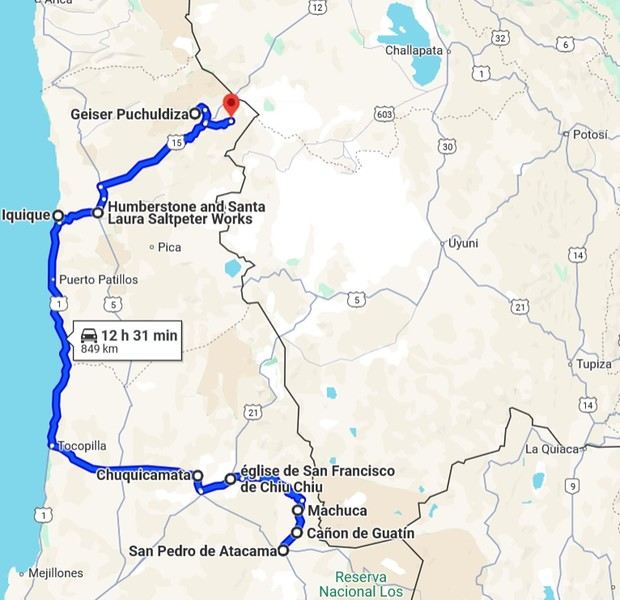
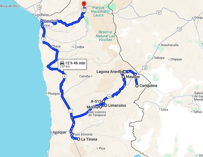
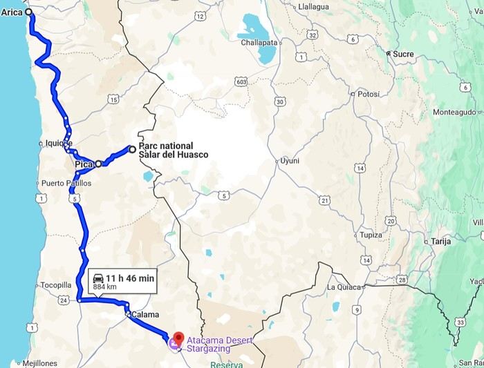 2- Around San Pedro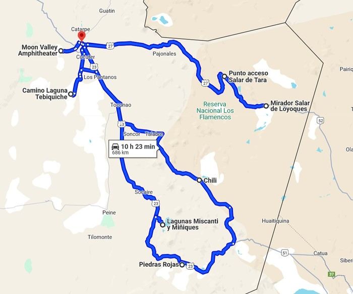

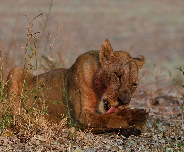

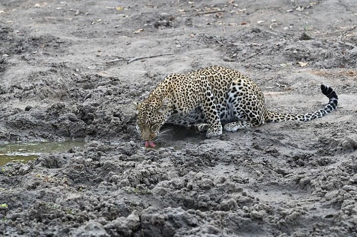
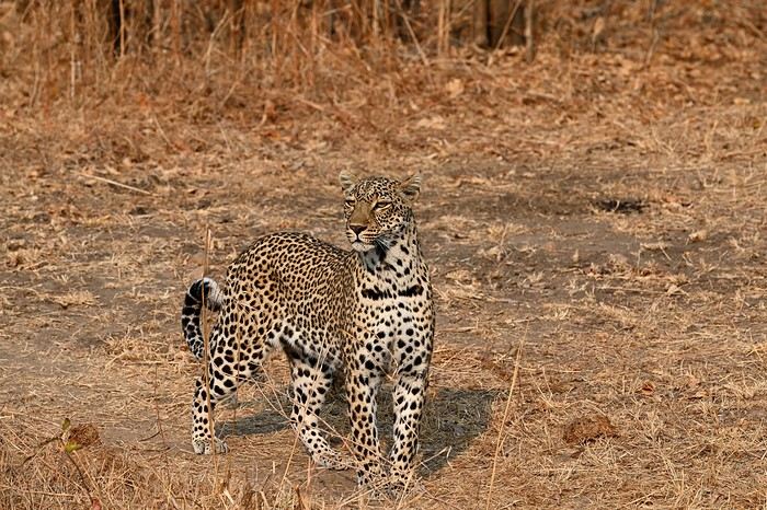
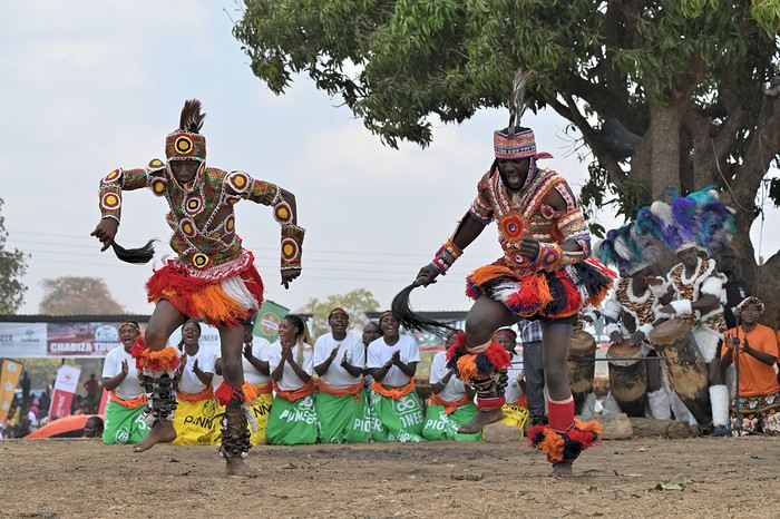
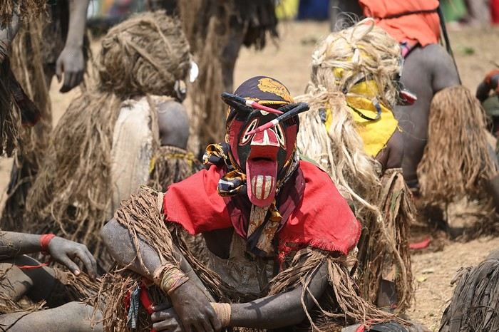
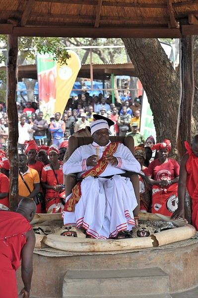
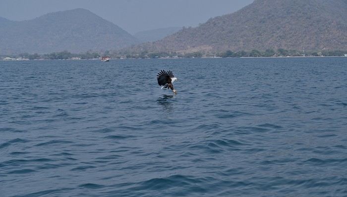
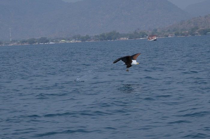
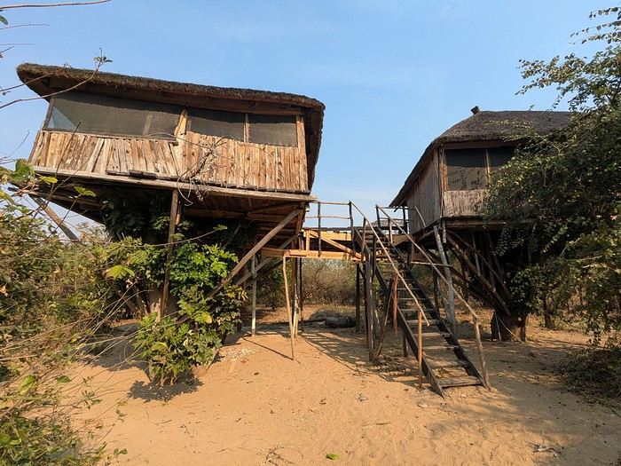
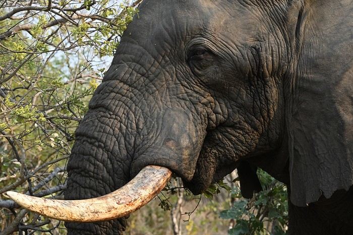 We were trapped, and even our guide looked nervous. After what felt like an eternity (though it was only a few minutes), the herd finally moved on, freeing the track. That afternoon, we did a self-drive safari and—you guessed it—we had zero interest in running into elephants again.
The next day, we headed back to Lilongwe for our flight home. It was a fantastic, varied trip with some intense moments (sometimes *too* intense). Malawi offers amazing opportunities for those who want more than just wildlife reserves.
We were trapped, and even our guide looked nervous. After what felt like an eternity (though it was only a few minutes), the herd finally moved on, freeing the track. That afternoon, we did a self-drive safari and—you guessed it—we had zero interest in running into elephants again.
The next day, we headed back to Lilongwe for our flight home. It was a fantastic, varied trip with some intense moments (sometimes *too* intense). Malawi offers amazing opportunities for those who want more than just wildlife reserves.

 Vila beach
 Sunset behind Santiago
 The rocks and sea at Ponta Preta
 At the summit of Monte Batalha
 Calheta
 Calheta de Baixo
 The beaches just keep coming...
 The dunes
 The 3 coconut trees, a landmark to find the track
 Boca da Ribeira beach
 The hills on our right
 Ribeira Dom João
 Barreiro
 The old track
 The church in Vila do Maio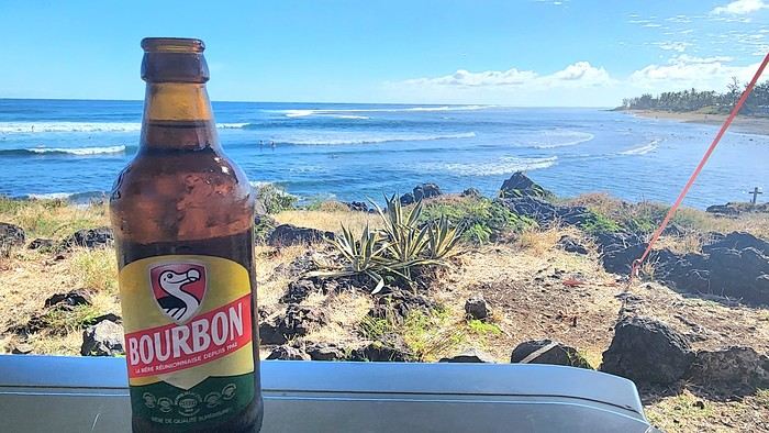
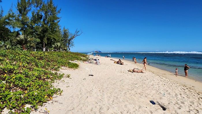
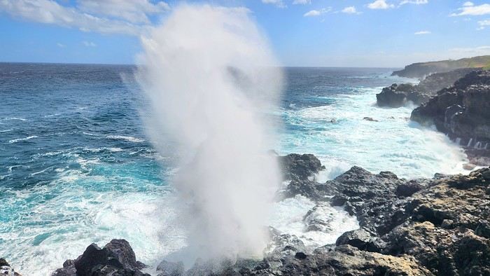
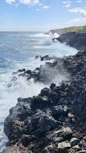
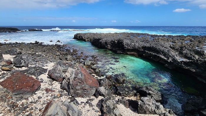
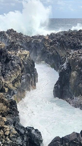




 The large solidified magma massifs that shape the heart of the island have created a large depression more protected from the sun at its center, allowing the growth of a vast laurel forest, today grouped within the Garajonay National Park, La Gomera’s green lung, which has earned it the status of a World Biosphere Reserve. Its completely European appearance contrasts sharply with the rocky and tropical landscapes of the rest of the island. Thus, the climate varies greatly from one point to another on the island: in summer, you can quickly go from a dry and sunny valley at 35°C to a humid forest area at altitude at 18°C.
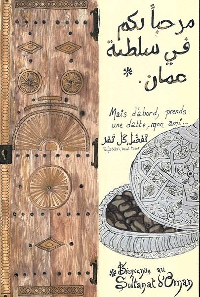 On the right, the "welcome marker"—those dates offered everywhere as a sign of hospitality. On the left, a tribute to those stunning doors worn by time, admired all over the old quarters, including the abandoned ones.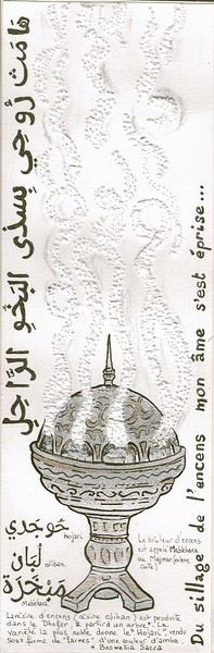
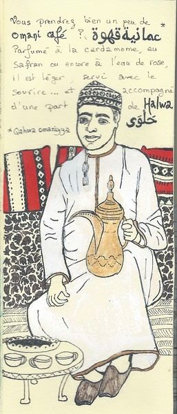 Hospitality will often lead you to accept a small coffee, an "Omani coffee," very light, subtly flavored with cardamom, maybe a touch of saffron, and occasionally rosewater.
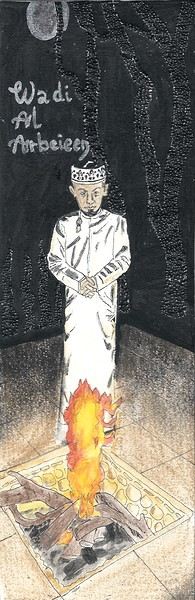
Here, I’ve depicted a man in the common everyday attire of Omanis: the dishdasha, mostly white (during the week and daytime; colors are more common in the evening or on Fridays and Saturdays). While you’ll see some men dressed in Western clothes, they’re very few. The white dishdasha is truly the shared attire of all men. The dishdasha, which has no hood, is distinguished by a small pom-pom attached to the collar, the furakha, which is soaked in perfume. And believe me, Omanis go overboard with it! "It smells like the pom-pom" is an expression that’s now part of our shared language, my husband and I.
Another must of men’s attire is the kuma, a small round head covering, usually white with brightly colored patterns. The keffiyeh is also worn (but without the cord called an agal in Arab countries), and it’s mostly worn by those with roots in the desert, from what I understood.
And what about the women, you might ask? Some are veiled, some in full black (but not a burka—more like a chador + abaya), due to the influence of Saudi Arabia and the United Arab Emirates, whereas the traditional outfit used to be a layering of very colorful dresses. Most of the women we saw wore neutral clothing, a plain veil over their hair, but with their faces uncovered. We also saw many saris and colorful veils—don’t forget that 40% of the population consists of Indian, Nepalese, and Bangladeshi immigrants, who work a lot in tourism, hospitality, restaurants, services, and construction.
Just to clarify, as a tourist, there’s no pressure to wear a veil, and never any disapproving looks. Of course, you’ll save the mini shorts, plunging necklines, bare shoulders, and midriffs for the hotel terrace—but I’d say that’s the same for men and women, and with the sun being strong, it’s better for your skin too.
Here’s the introduction! In the next post, I’ll tell you about my itinerary, and we can dive in!
Hospitality will often lead you to accept a small coffee, an "Omani coffee," very light, subtly flavored with cardamom, maybe a touch of saffron, and occasionally rosewater.
Here, I’ve depicted a man in the common everyday attire of Omanis: the dishdasha, mostly white (during the week and daytime; colors are more common in the evening or on Fridays and Saturdays). While you’ll see some men dressed in Western clothes, they’re very few. The white dishdasha is truly the shared attire of all men. The dishdasha, which has no hood, is distinguished by a small pom-pom attached to the collar, the furakha, which is soaked in perfume. And believe me, Omanis go overboard with it! "It smells like the pom-pom" is an expression that’s now part of our shared language, my husband and I.
Another must of men’s attire is the kuma, a small round head covering, usually white with brightly colored patterns. The keffiyeh is also worn (but without the cord called an agal in Arab countries), and it’s mostly worn by those with roots in the desert, from what I understood.
And what about the women, you might ask? Some are veiled, some in full black (but not a burka—more like a chador + abaya), due to the influence of Saudi Arabia and the United Arab Emirates, whereas the traditional outfit used to be a layering of very colorful dresses. Most of the women we saw wore neutral clothing, a plain veil over their hair, but with their faces uncovered. We also saw many saris and colorful veils—don’t forget that 40% of the population consists of Indian, Nepalese, and Bangladeshi immigrants, who work a lot in tourism, hospitality, restaurants, services, and construction.
Just to clarify, as a tourist, there’s no pressure to wear a veil, and never any disapproving looks. Of course, you’ll save the mini shorts, plunging necklines, bare shoulders, and midriffs for the hotel terrace—but I’d say that’s the same for men and women, and with the sun being strong, it’s better for your skin too.
Here’s the introduction! In the next post, I’ll tell you about my itinerary, and we can dive in!