
California! Nevada! Utah! Oh!
FR

Translated into English.

VA Valmichel86 Regular ·
Hi there, thanks for your interest in this travel journal. I’ll keep writing at my own pace, which is going to be even slower since I’ll have very limited daily internet access where I’m headed.
VA Valmichel86 Regular ·
Day 8: continued

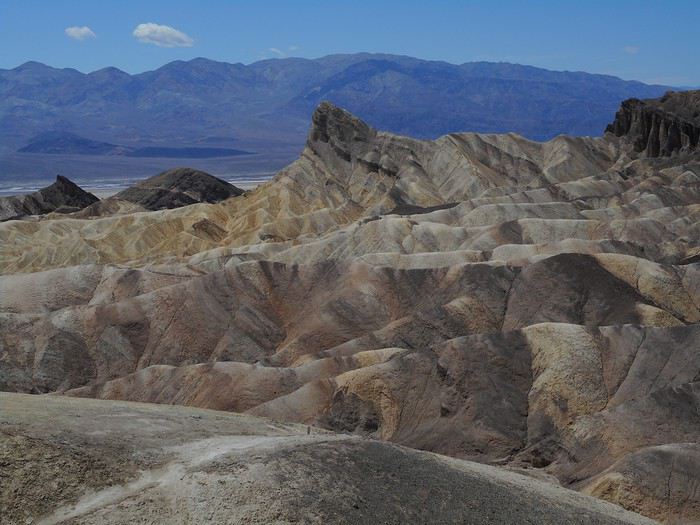
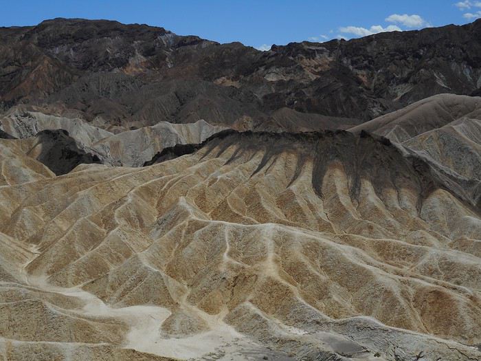
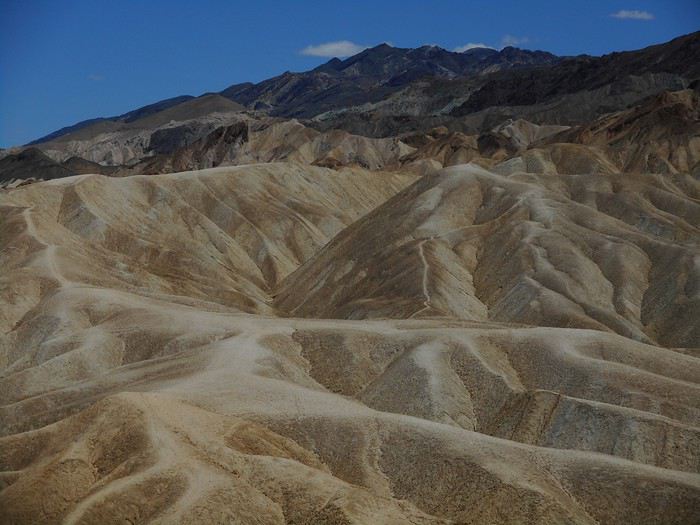
After the picnic, I head back down with everything I’d carried up and stop at the "Zabriskie Point" parking lot. Once at the viewpoint, there are quite a few tourists, all taking the same photos.


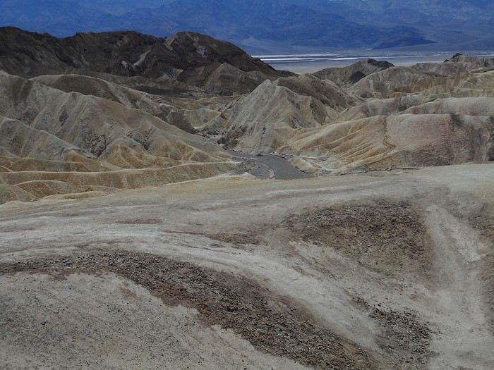
In this last photo, I can see the upstream part of the ravine called "Gower Gulch," which I hiked yesterday afternoon. The downstream section, all the way to the valley floor, was part of this morning’s hike.

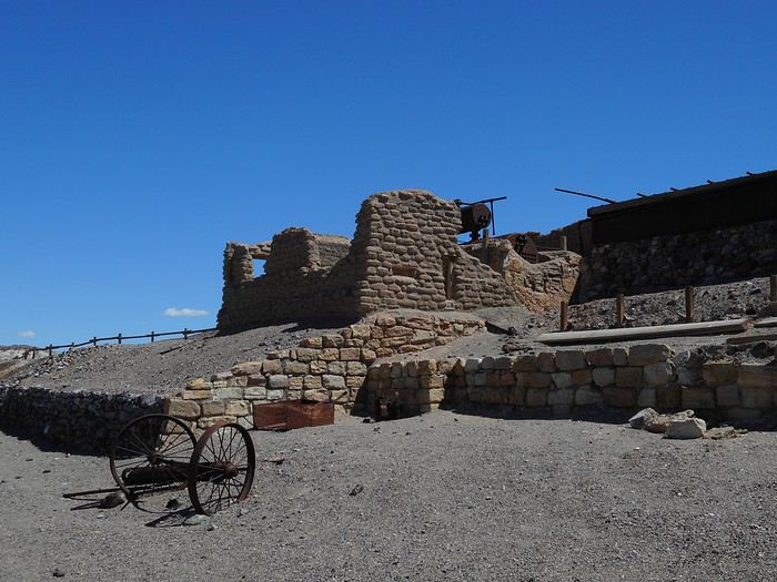
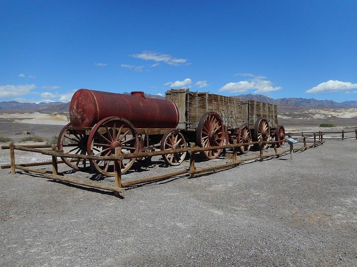
I hit the road again, pass through "Furnace Creek," and shortly after, turn left to head to the "Harmony Borax Works." This is where borax ore, collected from the surrounding area, was processed from 1883 to 1888. At the time, borax was used in soap-making and as a flux in the glass industry. It was processed on-site (dissolved and then crystallized) to separate it from its gangue and reduce the weight to be transported. Following the interpretive trail, I can see the ruins of the processing facilities and parts of a convoy.
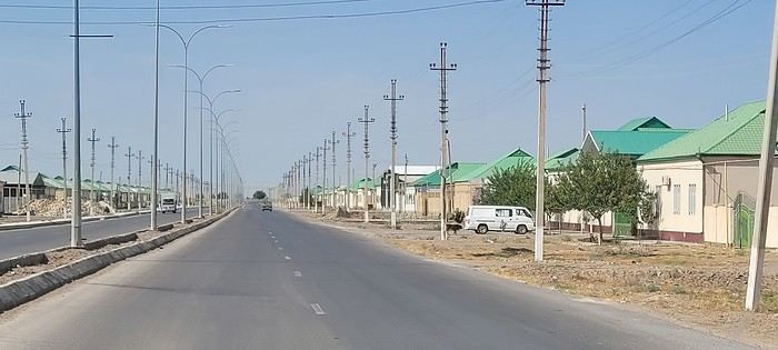


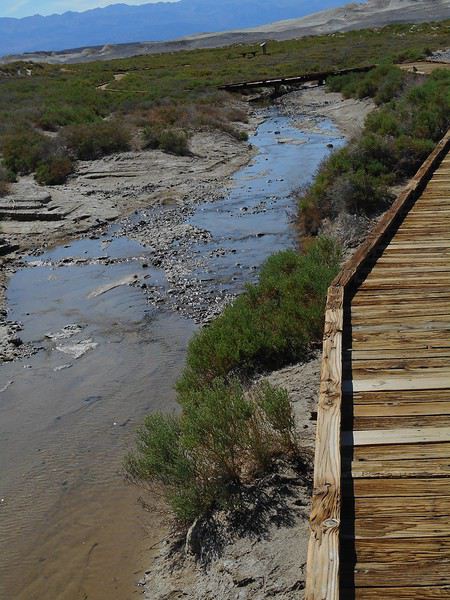
It’s the hottest part of the day (around 32°C). Before reaching "Stovepipe Wells," I make another stop at "Salt Creek," accessible via a dirt road to the left, roughly at the spot marked "Beatty Junction" on the map. It’s a saltwater stream (salt content roughly equal to seawater), not permanent, but since spring 2019 has been wet (and it’s not over yet!), there’s water all along the boardwalk (from a few centimeters to 30 centimeters deep).


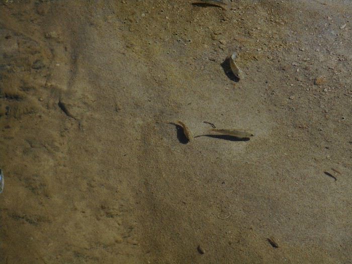
People who come here hope to spot the "Salt Creek Pupfish," aka "Cyprinodon Salinus," a freshwater fish that lives in saltwater... when there is any. When there isn’t, it seems they retreat to "pools" beneath the ground, moist enough for the pupfish to take shelter and survive. Today, the "Salt Creek Pupfish" are out in fairly large numbers.


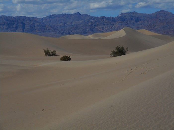
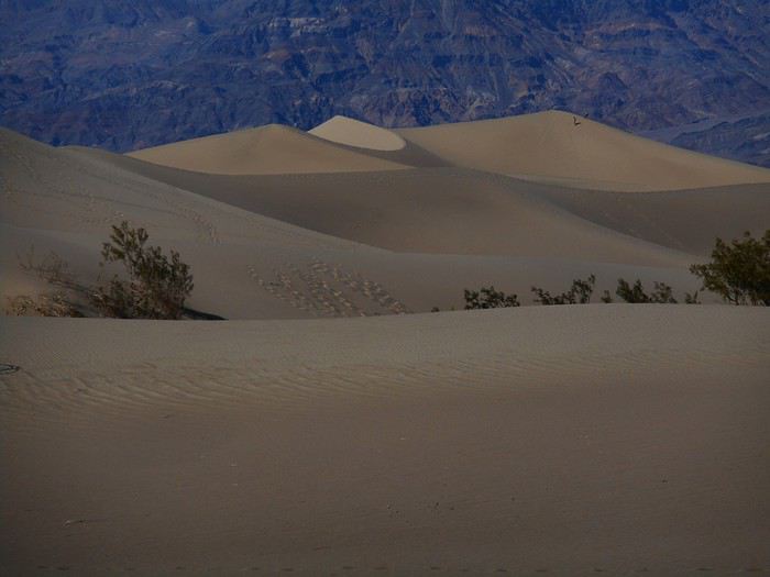
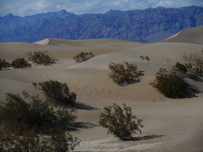
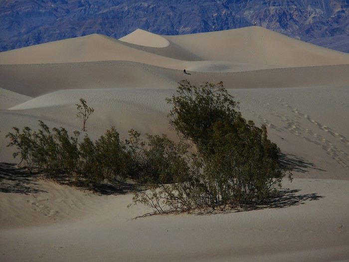
The last walk of the day is in the "Mesquite Flat Sand Dunes," dunes near "Stovepipe Wells"—a short hour-long stroll. It’s free exploration in a vast space, and as soon as I move away from the parking lot, only a few people are visible.


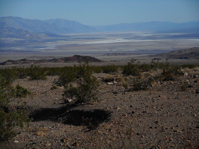
The photos remind me of a comment made on-site: these dunes are surrounded by mountains, and those mountains appear in the background of almost every possible shot in this area. I leave Death Valley via Route 374 toward Beatty; it crosses the "Amargosa Range." Goodbye, "Death Valley."


Hello, Nevada.


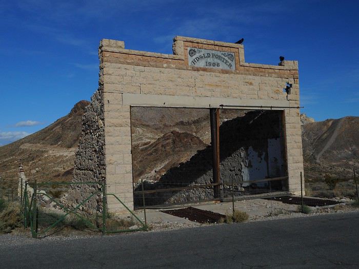
I take a detour to visit the ghost town of "Rhyolite," just before Beatty.


A few structures are still standing (nothing unforgettable), but what’s surprising is that these aren’t wooden shacks, which are rare around here. If you look closely, the facade’s facing is stone, but everything else is concrete (including a reinforced concrete beam). Yep, I’m brushing up on my history of techniques! Reinforced concrete isn’t a 20th-century invention (which is what I thought), but rather from the second half of the 19th century (around 1880). Its use spread quickly, and you can find concrete deep in Nevada by 1906!

Bad news in Beatty: camping options are limited (which I knew), and everything’s full (I didn’t expect that, since I’d only seen crowds at "Zabriskie Point" today). So I head toward Las Vegas via US-95. The day ends once again with the backup plan (sleeping in the car with the seat folded down) at a large rest area in "Lathrop Wells" (US-95 and Route 373 intersection). Luckily for what’s ahead, this is the last time I won’t be able to pitch the tent.
SW Swimmer Veteran ·
Hi Michel,

I’ll keep writing at my own pace, which will be even slower since I’ll have very limited daily internet access where I’m going.

The pace works for me—I’m really enjoying your travel journal as I read through it.

Looking forward to the next update...😇
VA Valmichel86 Regular ·
Day 9: Tuesday, May 21 (Lathrop Wells - Las Vegas)
Route


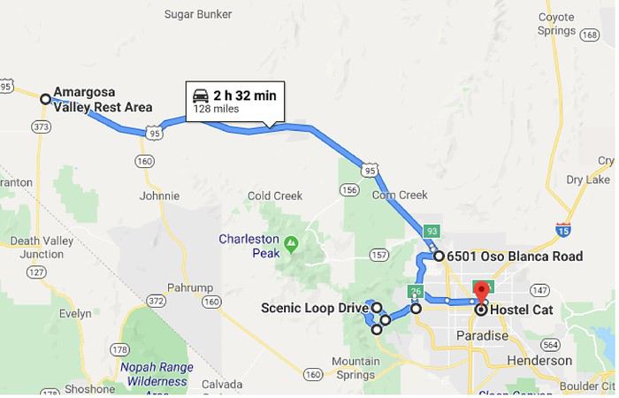
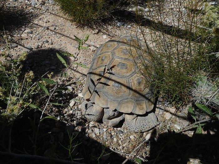
I’ll spend this day, which takes me to Las Vegas, visiting "Red Rock Canyon National Conservation Area." I drive along US-95 ("Charleston Peak" on the right is snow-covered), reach the outskirts of Las Vegas, take a kind of ring road that crosses the northwest and west neighborhoods of the city, then take Route 159 west toward "Red Rock Canyon" (about 15-20 miles from Las Vegas). A one-way road (Scenic Loop Drive) passes by the main points of interest in the park; the first one on this road is the "Visitor Center," where a few animals that aren’t likely to run away have been placed.


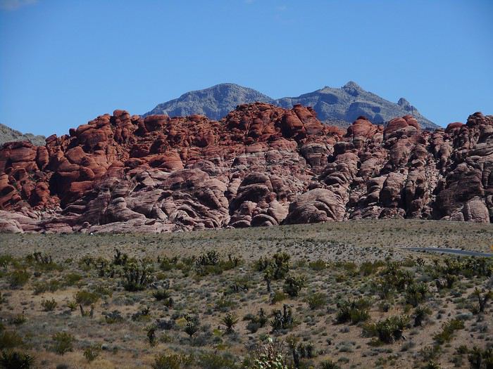
From this spot, I also have a general view of the area called "Calico I and II."


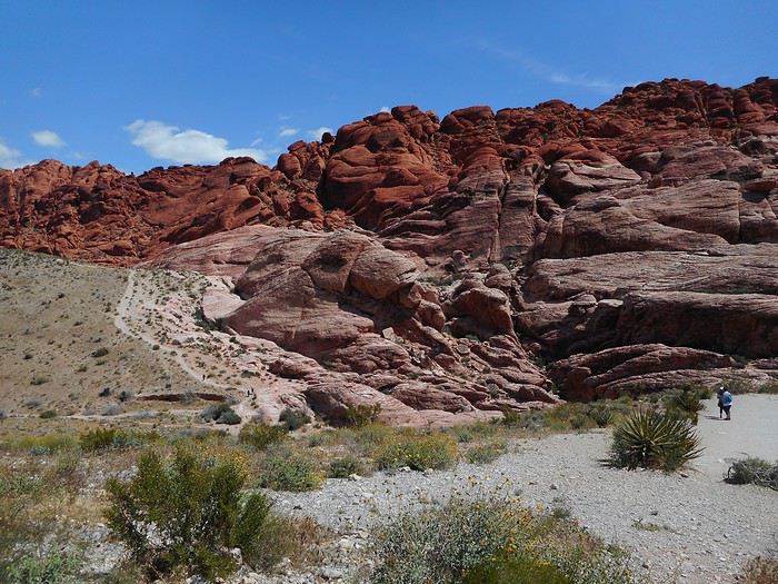
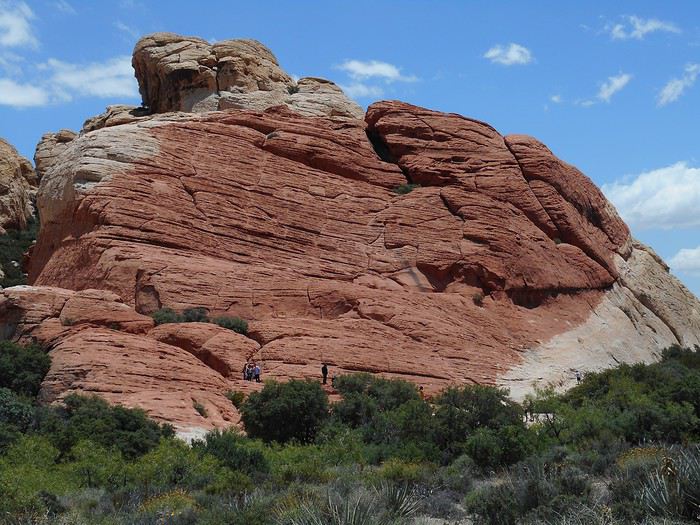
I leave with two hiking tips from the ranger. As soon as I set off again, I stop at the "Calico I and II" sites; these are sandstone cliffs with a striking contrast between white and red sandstone.


A few miles further, at a place called "Sandstone Quarry," is the start of the "Calico Tanks" hike. The area is relatively flat compared to the rest of the park.


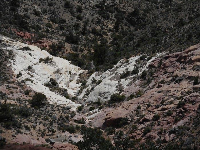
The valley the trail leads into quickly becomes narrower, and the path gets rougher.


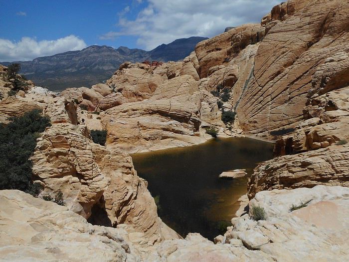
The last part passes near a water reservoir


and ends at a set of platforms


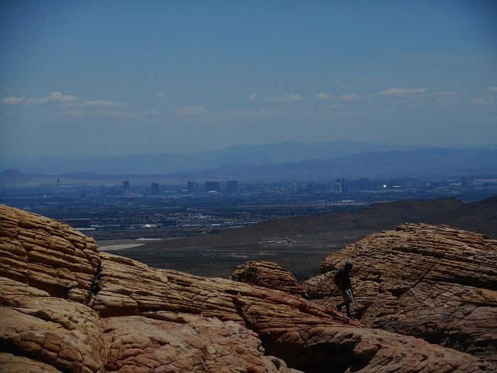
offering a viewpoint over Las Vegas.


I notice that Las Vegas isn’t a city built upward at all—instead, it’s a very spread-out city built on flat land. Aside from the line of hotel-casinos along the "Strip" (right side of the photo), there are at most a dozen tall buildings in the rest of the city. I head back along the same trail. The day is sunny but very windy, even extremely windy and cold, with temperatures ranging from 54 to 59°F.

The second recommended hike (further along Scenic Loop Drive) is called "Keystone Thrust." It’s located at a fault ("Keystone Thrust Fault"), where the Pacific Plate passes under the North American Plate (a "subduction" phenomenon that began 65 million years ago). Specifically, red Jurassic rocks (sandstone) pass under older white limestone. That’s the theoretical context based on my memories and the documentation I found. On-site, the trail climbs through the steppe, reaches a high point, descends slightly, and arrives at a dominant position, with the "interesting" area far below. From what I recall, there are no precise directional signs to guide you to spots with better views, nor any explanatory panels linking the theoretical context to the terrain. The place is famous, though, because it’s supposedly the only spot in the world where you can have one foot on one tectonic plate and the other on a different plate—normally, plates only "touch" like this underground, never on the surface. I still think I managed to find the spot where the red sandstone passes under the white limestone.


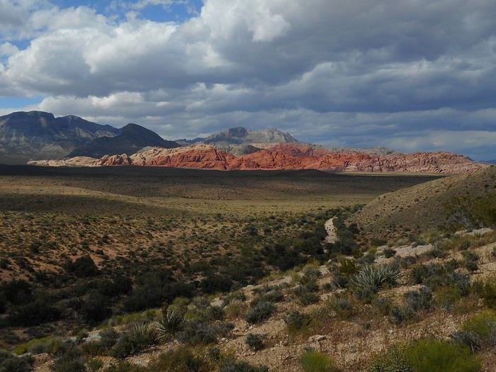
Without any explanations, the hike is disappointing for someone like me who doesn’t have much field experience in geology. I finish the loop (Scenic Loop Drive), take a photo of the entire site,


and take Route 159 toward Las Vegas. Staying at Hostel Cat, a youth hostel. Exhausted from three consecutive nights sleeping in the car, I’ll save "Fremont Street Experience" for tomorrow night.
VA Valmichel86 Regular ·
Day 10: Wednesday, May 22 (Las Vegas)

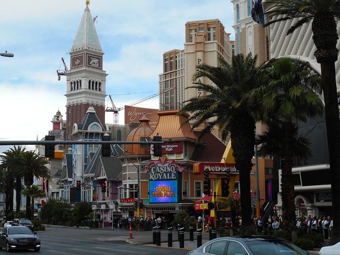
In the morning, I visit "Fremont Street" and the surrounding streets in downtown. The only thing I really remember from this trip is the "cover" of "Fremont Street," which is used for the permanent evening show. Today, I get around by bus with a daily pass—super handy for all the trips around town. I do a bit of shopping. The hotel-casinos along "Las Vegas Boulevard" (the "Strip") will take up the afternoon. The "Strip" with the "Casino Royale," the "Palazzo," and, in the background, the "Wynn" building.


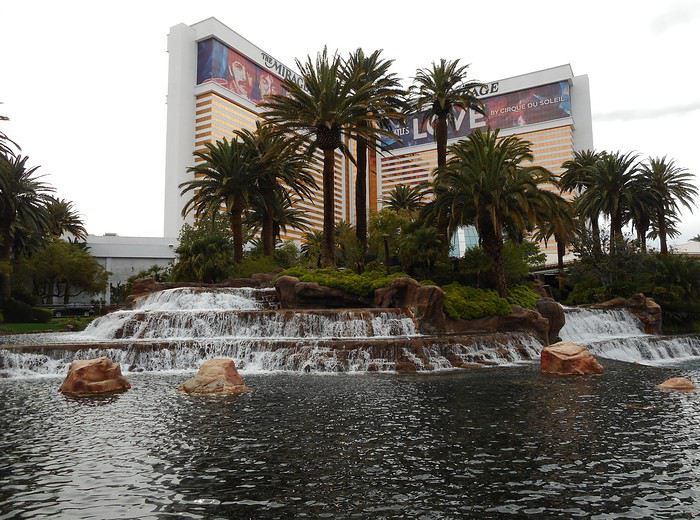
Just across the "Strip," "The Mirage."


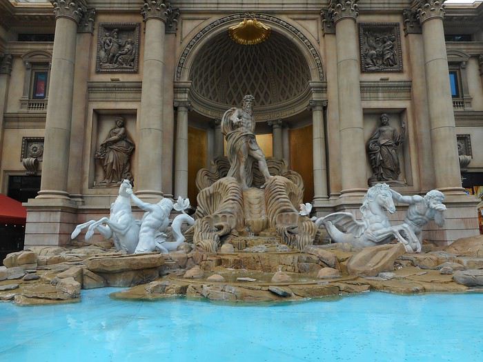
From this spot, I stroll along the "Strip" (from north to south), pass by and then enter "Caesars Palace."


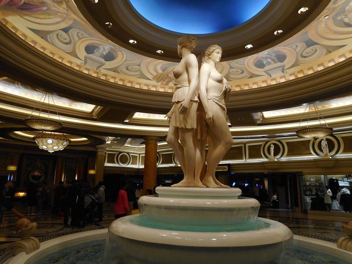
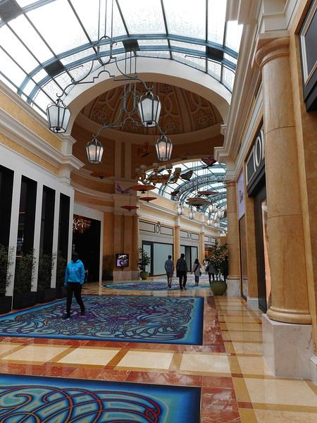
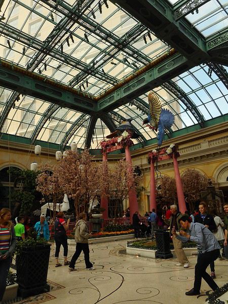
You can apparently go from "Caesars Palace" to its neighbor, the "Bellagio," through a series of covered, semi-covered, or open-air terraces, because I end up in the "Bellagio" without even feeling like I crossed "Flamingo Road," which separates the two hotel-casinos. Inside the "Bellagio," I notice the hotel lobby with its ceiling,


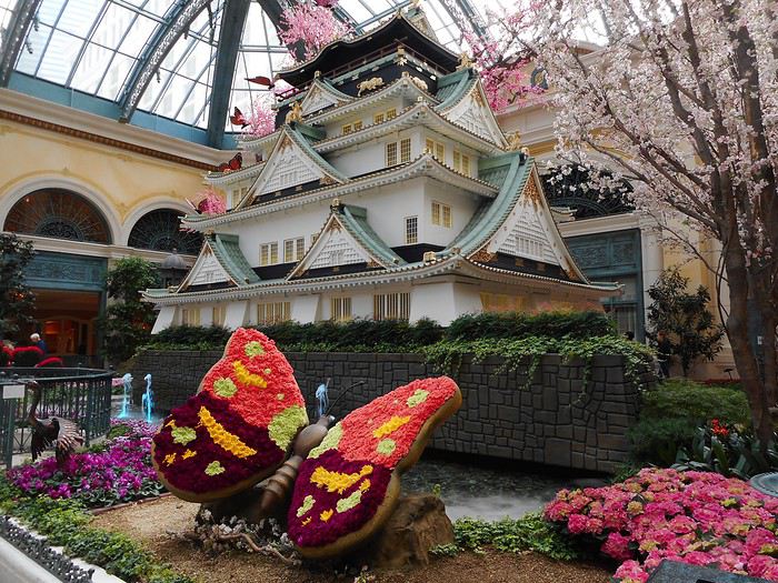
and the indoor garden.


In one of the two hotel-casinos (I can’t remember which), I watched a roulette table in action. There were 7 players (all women), but about 15 people around the table since some players were accompanied by one or two people—the duo or trio consulting each other on their bets. I expected way more players around a table. The game (already in progress when I arrived) ended really quickly: after 10 minutes, all the players were cleaned out.

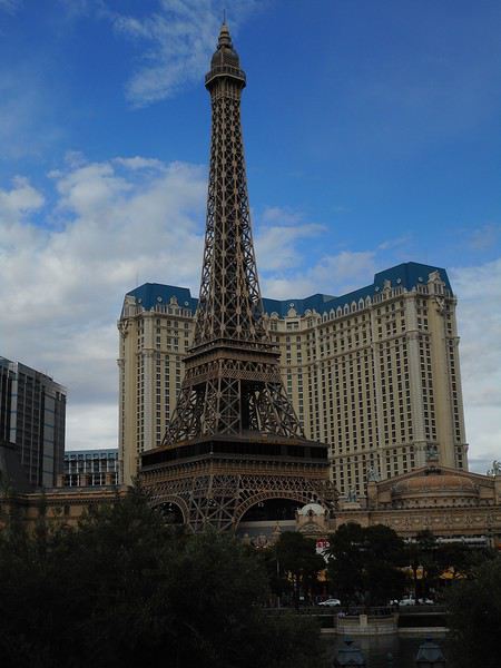
I get a little lost in the "Bellagio." Apparently, that’s not surprising since things are designed to keep the public inside the hotel-casinos as long as possible. So, they don’t make it too obvious how to get out... and they really stick to that principle. Shops, the conference center, etc., are all much better signposted than the exits. Since I’d already passed through the hotel lobby (photo above), I didn’t have too much trouble finding my way back and heading outside to the small plaza that leads to it from the street. You’re now facing the "Paris Las Vegas," located on the other side of the "Strip."


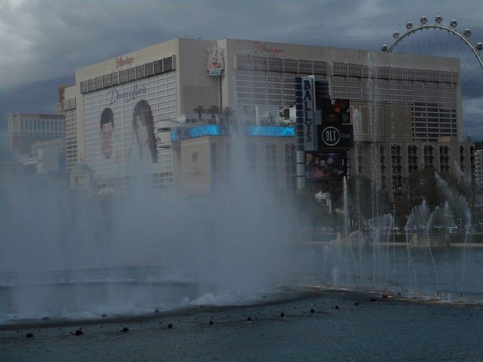
I wait for the next fountain show at the "Bellagio," with the "Flamingo" in the background.


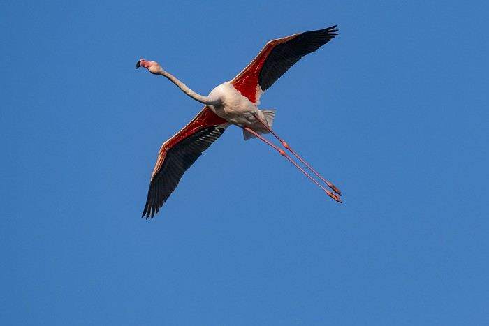
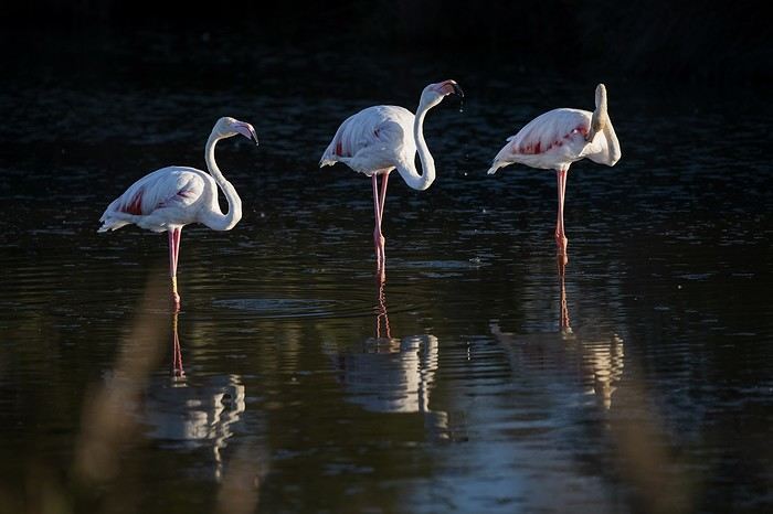
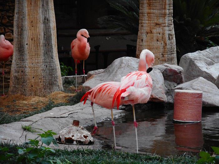
I then cross the avenue to see the flamingos at the "Flamingo,"


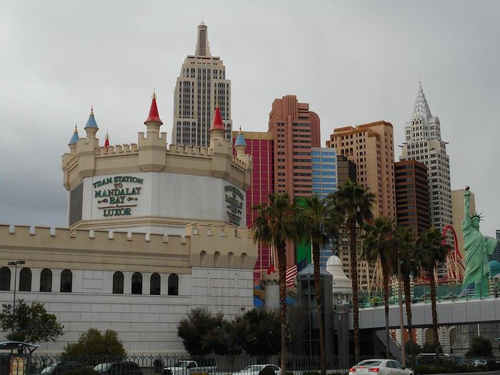
and a few other hotel-casinos on this side of the "Strip." To finish up, I take a short bus ride and end up near the "Mandalay Bay," at the southern end of the boulevard.


The whole day was windy and chilly (around 17°C). By nightfall, the wind dies down, and the temperature rises by 3–4°C, which is welcome for checking out the "Fremont Experience" in the evening.


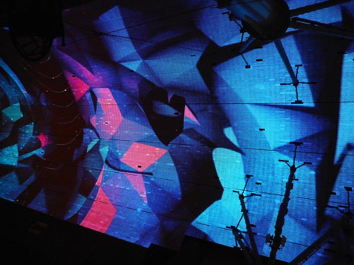
I’m not sure if the show tells a specific story, but the use of the street cover really grabs your attention (there’s some tech involved). The street itself is lively (I’m talking about the street, not the shops, casinos, or restaurants lining it) with musicians, mini-shows, vendors, etc., and a pretty dense crowd. Whatever they’ve set up here in downtown seems to be "working well."
DI Diamina Globetrotter ·
Hey Michel,

Your Alabama Hills section makes me regret not including this spot in my upcoming road trip. Marati had already piqued my interest with her travel journal, but you’ve really driven the point home with all those arches. Thanks for the photos.

We’ll be in Death Valley soon, so your story gives me new perspectives on a park I’ve already visited in winter. Like in Marati’s journal, I’m drawn to the hikes we didn’t do last time.

I’ll make sure to explore more thoroughly this time, staying for 2 days like you did. Your photo of the Bellagio makes me want to go there. When we passed by, the decor wasn’t the same. I’ll make the effort to check it out and especially enjoy the buffet restaurant, which is top-notch.

So, thanks for your story and all the useful details!

Happy New Year too! 😄
DI Diamina Globetrotter ·
If I remember your travel journal correctly, you did Golden Canyon, Badlands Loop, and Gower Gulch all in the same hike. I split it into two: Golden Canyon and Gower Gulch will be for tomorrow.

That’s an interesting idea, splitting that fearless Marati’s hike into two... Makes it more doable... 🤪

Since you went in May, you mentioned the wind and the cool temps—sounds like you should try winter!! 🤪 Seven years ago, I nearly blew right off a cliff getting out of the car because of the wind. 😏
VA Valmichel86 Regular ·
Hi Diamina, I had some unusual weather last May-June: abnormally cool and wet, except for the end of the trip. Hikes where heat is usually an obstacle were much easier, but I also had to cancel some due to rain (more in the travel journal). Have a great trip since you're leaving soon.
VA Valmichel86 Regular ·
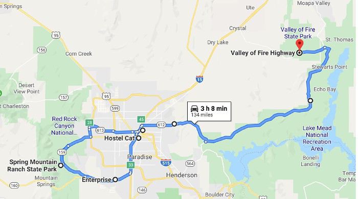
Day 11: Thursday, May 23 (Las Vegas - Valley of Fire)

Route


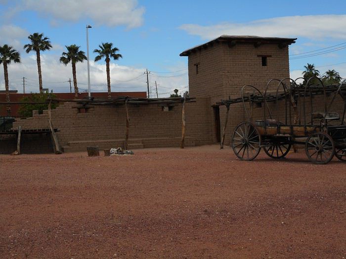
But how did Las Vegas begin? I’m about to find out at the "Old Las Vegas Mormon Fort" near downtown. In 1855, Mormon missionaries settled near a creek and built a structure: a rectangular fort, part of whose walls have been reconstructed (it’s the first permanent non-native settlement). They left in 1857.


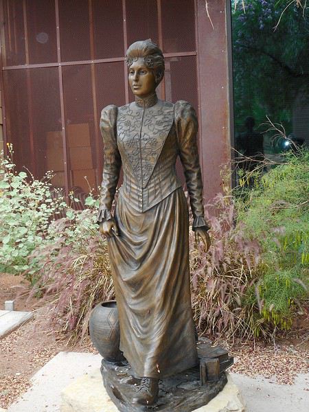
Starting in 1865, the site was repurposed to build a ranch. A first attempt failed, but a second succeeded—this one by a man named Stewart. His widow, "Helen Stewart" (photo below), sold part of the land to a railroad company in 1902: Las Vegas was born!


The "Visitor Center" showcases, with photos, the development of Las Vegas from its origins.

Next, I head to "Spring Mountain Ranch," located 25 km southwest of Las Vegas.

Then, a traffic-related incident happens. On "Charleston Avenue," I get in the left lane to go under Interstate 15 (I-15) and then access it heading south by turning left. Due to inattention, I end up in a lane that turns left *before* going under the I-15. No way to get back to the right lane and pass under the highway. The road leads toward a construction zone when I spot another lane on the right with three signs: one with "I-15," a second with "Ov 2," and a third with "Only" (coded messages??). Thinking I’d reach the interstate, I take it—the trap is sprung. Traffic is channeled, and I’m forced to keep going. The lane passes underneath between the two parts of the highway (southbound and northbound) and merges onto the Interstate from the left. Meanwhile, I realize—thanks to clearer signs—that "Ov 2" and "Only" mean (in coded language) that this access is reserved for vehicles carrying at least two people, and they’re serious! A $300 fine (I think), with signs like "7 days/week" and/or "24/7." It’s very possible I’m being filmed or photographed since entering this lane, and the worst part is that it might all be true!! The lane merges onto the I-15 from the left but is separated from the 5 or 6 traffic lanes by rumble strips (it’s not a real access). In about 2 miles, it exits the Interstate at the next off-ramp. They must’ve designed all this to improve traffic flow!!! So, I have to commit another infraction: cross the rumble strips, slip into the flow of the left lane, then move to a lane further right. Now, writing in my travel journal, I’m calmer because I haven’t received anything, but in the moment, I was really worried—I never meant to end up in that situation! It was the only traffic issue I had during the whole trip.

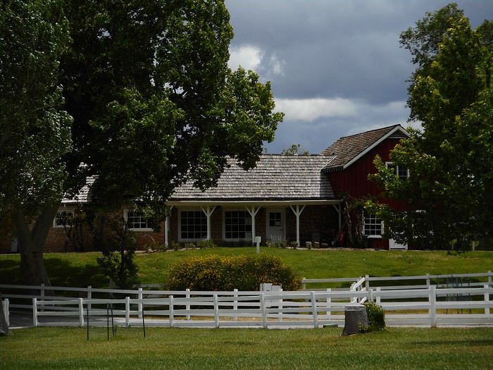
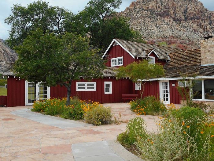
At the south exit of Las Vegas, I take Route 160 (toward Pahrump), then Route 159 (toward Blue Diamond) and arrive at "Spring Mountain Ranch," a Nevada state park. This ranch is near "Red Rock Canyon" in an area with springs, so it’s lush and green. It was a working ranch until the 1940s. Later, it was owned by celebrities: actor "Chester Lauck," who built the main house; actress "Vera Krupp," who expanded it; and billionaire "Howard Hughes." I visit the main house (part guided tour, part self-guided)—it feels more like a country estate for actors than a ranch.


After a picnic lunch (cold and windy), I take a short walk (less than a kilometer) on the "North Ash Grove Loop," where you can see some ash trees near the river.

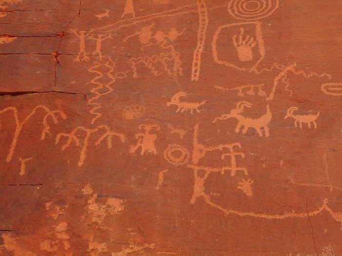
Leaving the ranch, I head back to Las Vegas and take the road to "Valley of Fire State Park" . I arrive at the east entrance and go to the park’s "Visitor Center." The ranger tells me, "If there’s a spot available, you can set up at the campground." The "if" makes total sense when I reach the camping area—there are no free spots, and I’m convinced the ranger knew that perfectly well. I check out what’s in this part of the park, along the "Scenic Loop Road." First, there’s "Atlatl Rock," a boulder covered in petroglyphs.


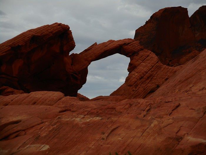
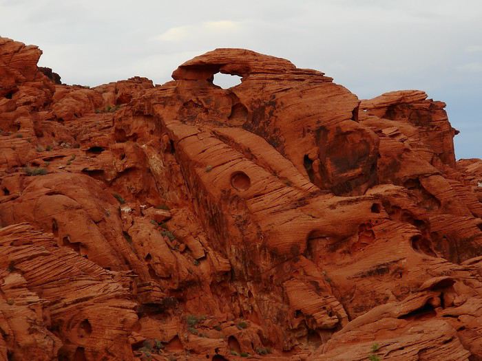
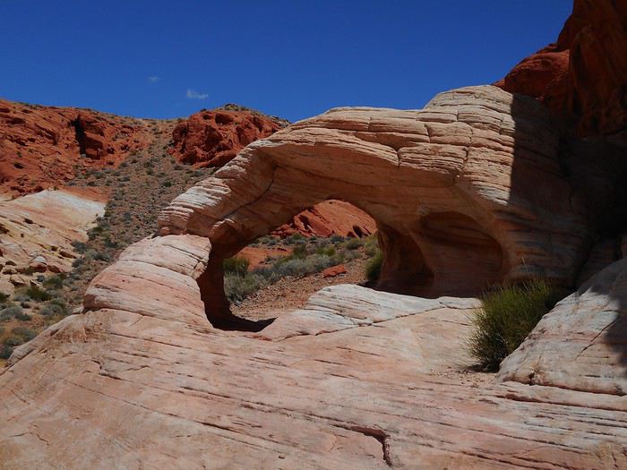
A little further is "Arch Rock."


Further along the loop is "Piano Rock."


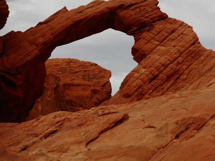
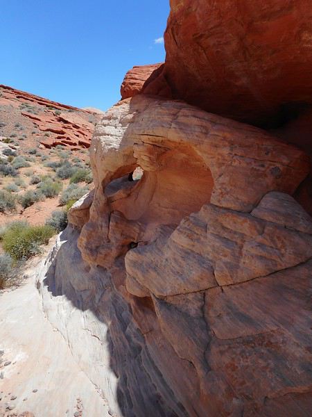
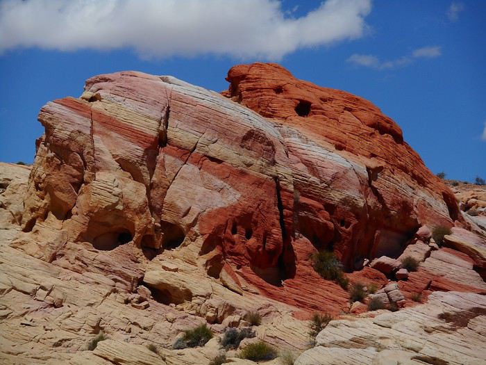
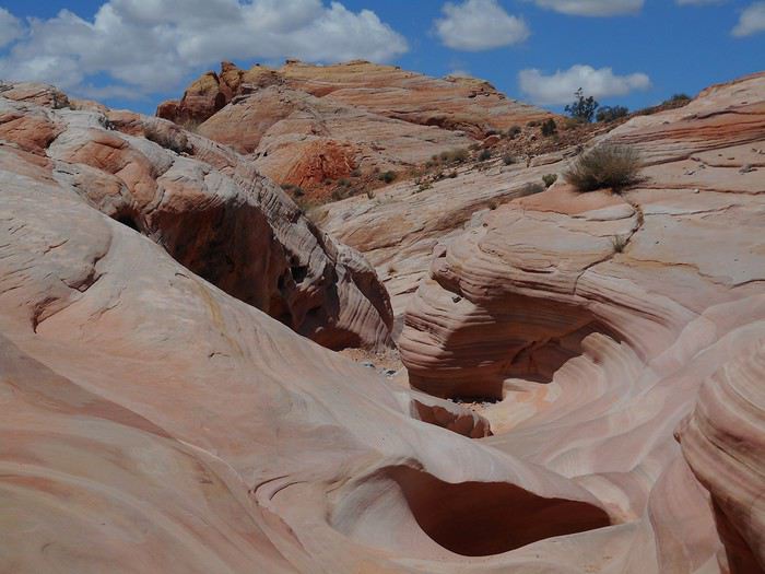
Continuing on the "Scenic Loop Road," I find two more interesting areas: -The "Pagoda Arch" area. I don’t think I found the actual arch, but there are lots of amazing shapes and colors.


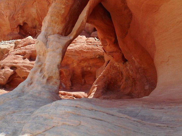
-The "Windstone Arch" area (same remarks).


After dinner at the "Atlatl Rock" picnic area, I follow the park’s instructions for when campgrounds are full (in the park, camping is only allowed in designated sites). I exit through the west entrance, drive about 3 km (still within the park), then the road surface changes—I enter BLM (Bureau of Land Management) land, where you can camp anywhere in the sagebrush steppe.
VA Valmichel86 Regular ·
Day 12: Friday, May 24 (Valley of Fire)

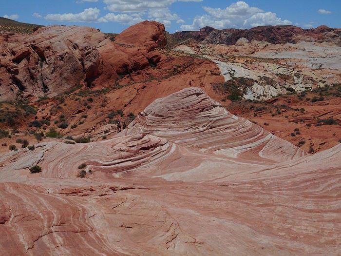
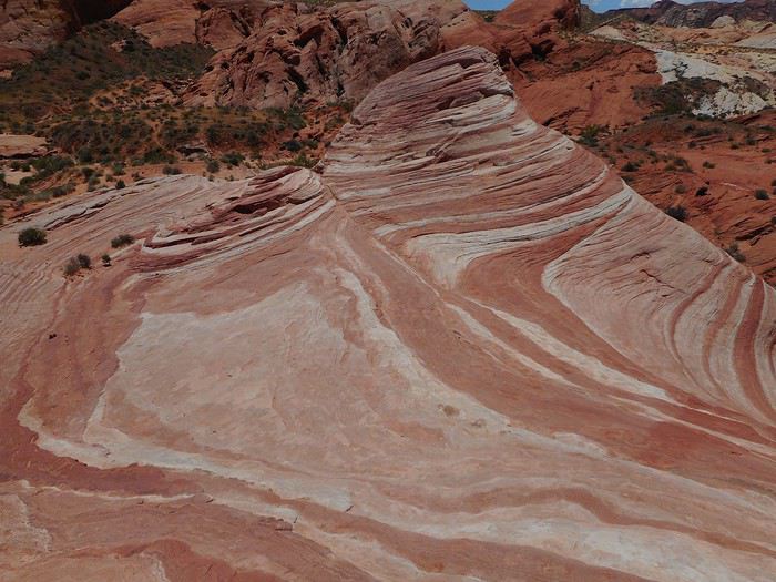
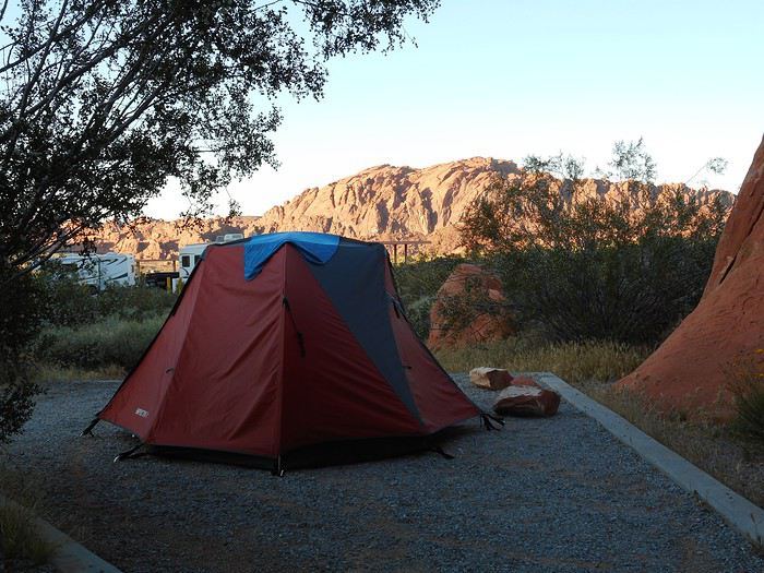
After breakfast, I head back to "Atlatl Rock Campground"; I’m taking one of the spots that opened up this morning (setting up the tent, shower, planning the day ahead) to stay for two nights. The available spots fill up really quickly, and in my opinion, the campground will be full well before mid-afternoon. I’m not leaving early today since I’m settling in at the campsite. I drive to the turnoff for "White Domes Road" and take it to parking lot P3 (the one for the Seven Wonders hike and "Fire Wave"). The trail starts on the left side of the road, heading south (it’s marked at the beginning but not for long) and begins with a descent into an area scattered with rocks.


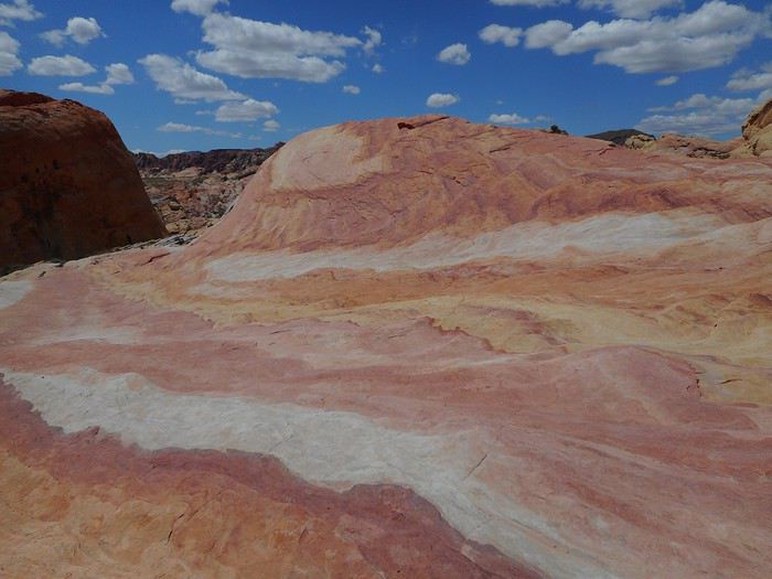
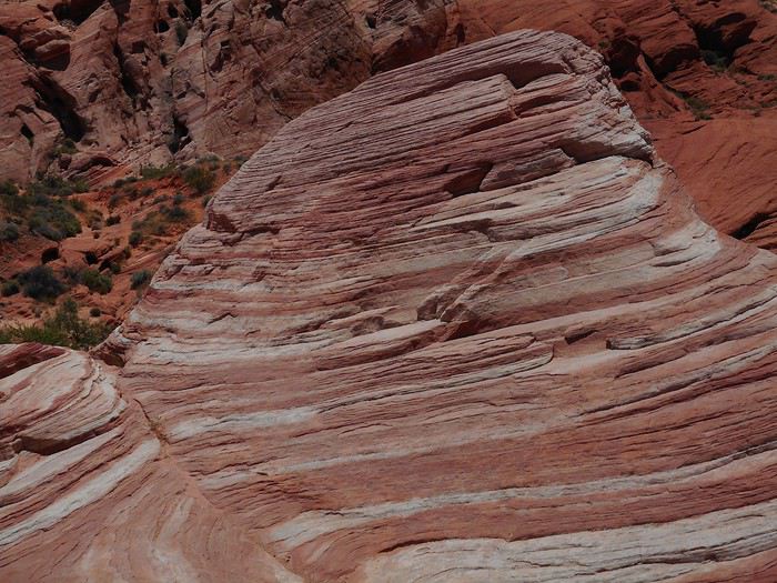
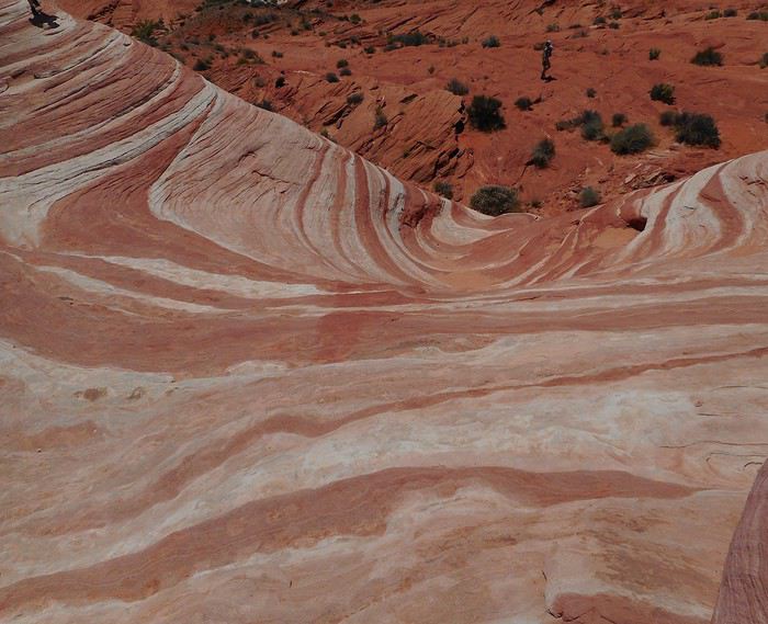
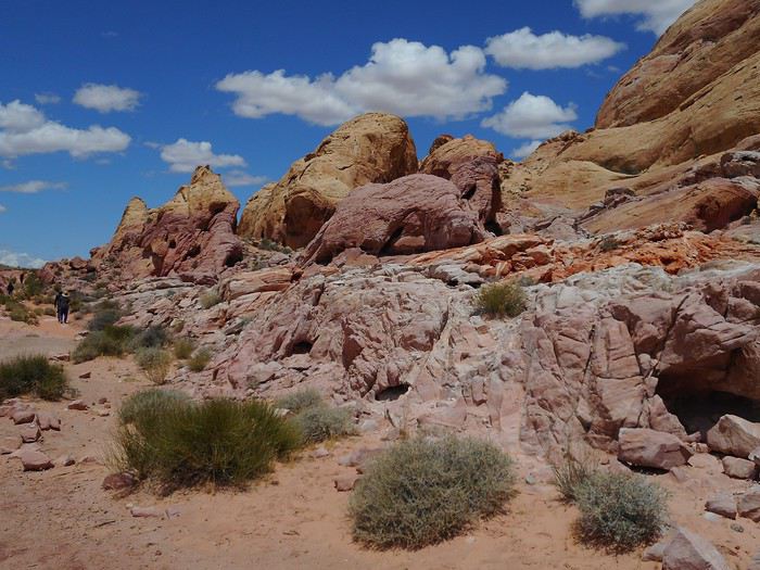
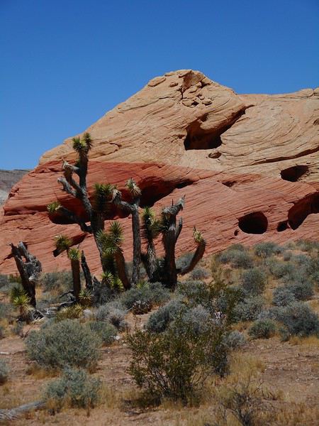
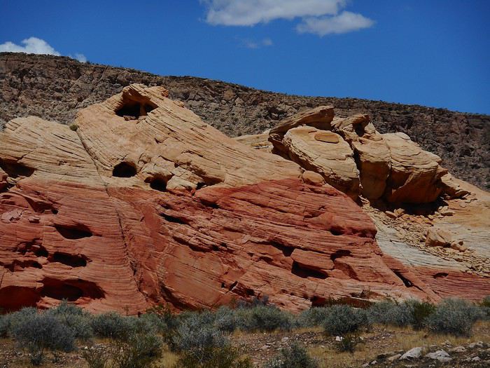
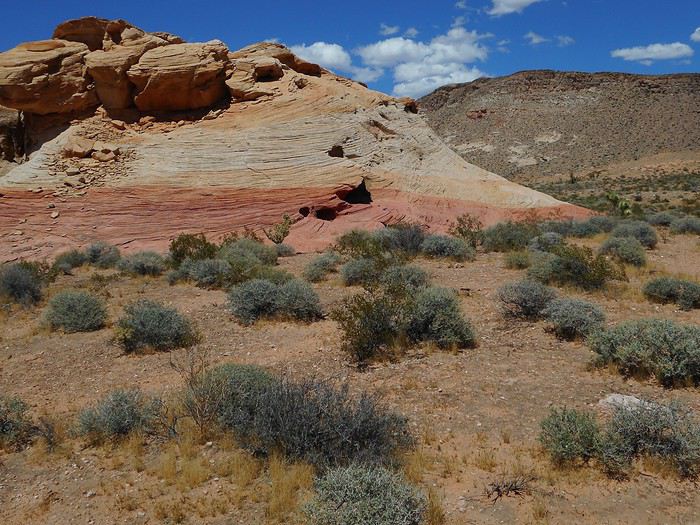
I explore the area to find "Crazy Hill." The colorful stripes make this place famous and give it a somewhat surreal look.


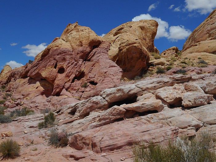
I keep searching around and discover "Fire Cave" (shaded in the morning).


A detail of "Fire Cave."


Nearby, here’s "Thunderstorm Arch" (GPS is really helpful for finding these first three sights).


Continuing downhill to the south, I pass by a formation (sugarloaf shape)


then reach "Kaolin Wash," which I follow to where it meets the road. From there, walking back up the road for several dozen meters, I end up next to "Striped Rock."


I cross the road and, continuing through "Kaolin Wash," I enter the area called "Pastel Canyon."


At the exit of "Pastel Canyon," I start climbing to the left toward "The Wave," the most famous formation.


I return to the parking lot via the trail that connects directly to "The Wave." Today’s different from the others—it’s getting really hot by late morning, and there’s no wind.
VA Valmichel86 Regular ·
Day 12: continued

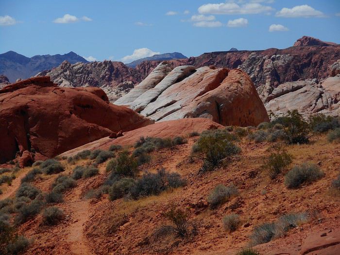
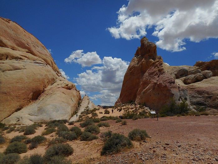
The next hike (called "White Domes") starts at the end of "White Domes Road" (a dead-end road). I park and follow the crowd since everyone does this hike (a loop) in the same direction when I arrive. The start is at the end of the parking lot with the characteristic rock on the right.


The trail descends steeply, and I reach the lowest point with the same rock, looking back.


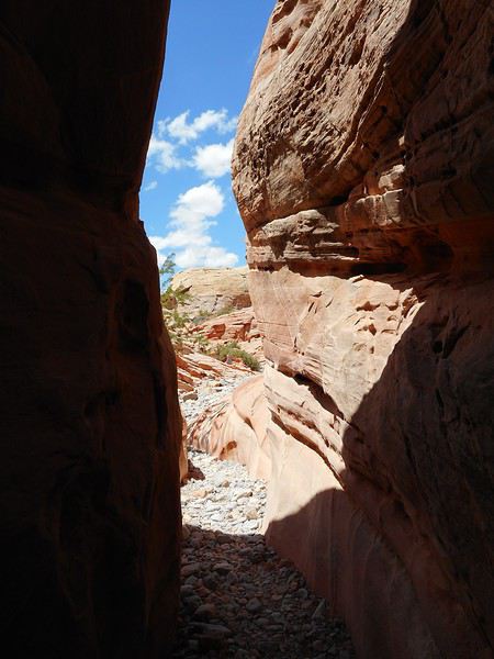
The loop continues with a "Slot Canyon."


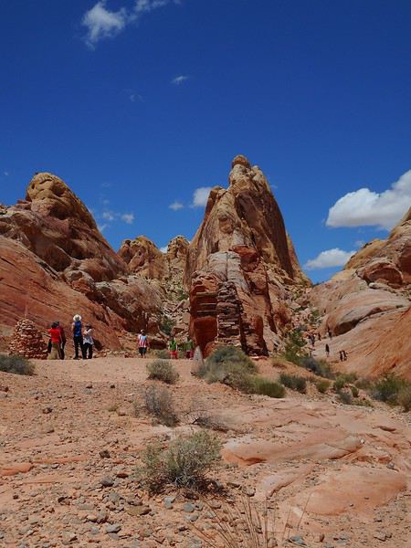
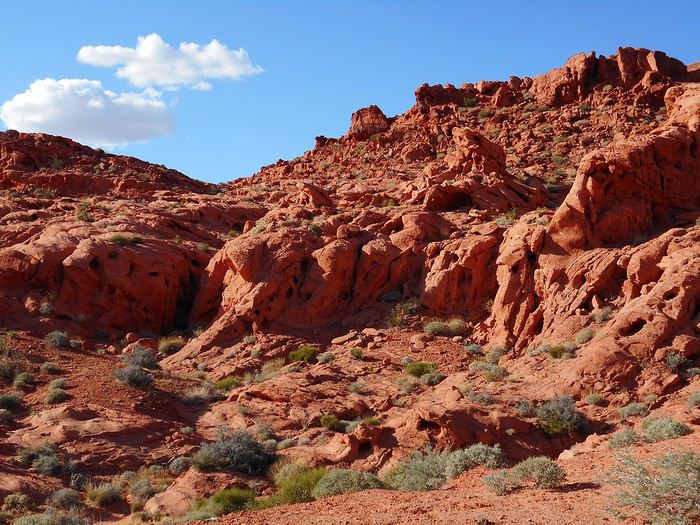
Then it climbs back up through rock formations.


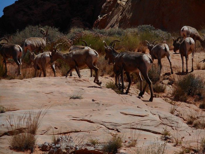
Local wildlife wanders around toward the end of the trail.


I return to the "Visitor Center," where I eat (very late) and then take the tour since I’d only passed through yesterday. Afterward, I head to Overton (15 km northeast of the park) to do some shopping. Since I don’t have enough time left to visit the local museum ("Lost City Museum"), I skip it and return to the east entrance of the park.

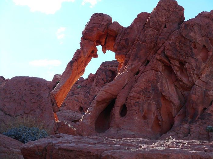
From there, a short hike (right by the road) leads to "Elephant Rock."


The sun, now in the west, gives it pastel hues. The surrounding rocks (here, a west-facing formation) are more classic in color.

VA Valmichel86 Regular ·
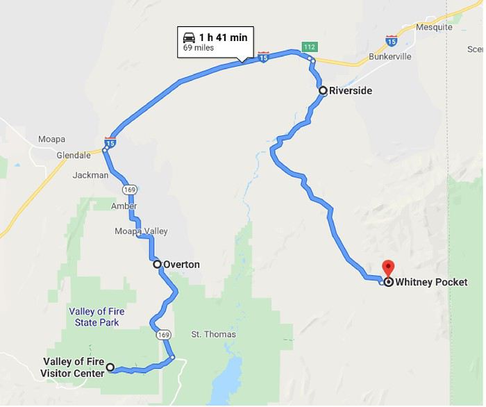
Day 13: Saturday, May 25 (Valley of Fire - Whitney Pocket - Little Finland and back)According to the forecast, today should be less hot than yesterday (high of 28°C), so I decided to head to "Little Finland." Early start and departure. Route.


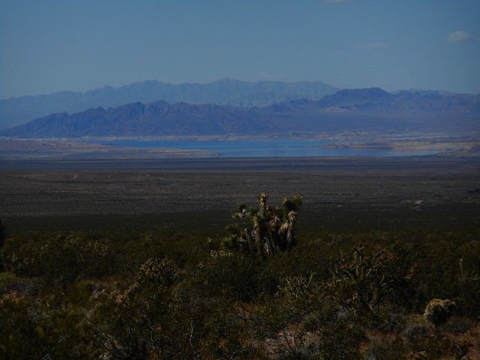
I pass through Overton, join Interstate 15 (northeast direction), exit at "Riverside"; after turning right past the bridge over the "Virgin River," I take "Gold Butte Road." This road is paved for most of the way, but not everywhere (not really maintained). It first follows the "Virgin River," then climbs, and I see the edge of "Lake Mead" toward "Overton Beach" on the right.


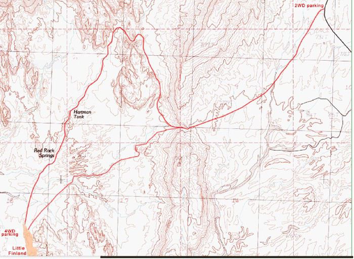
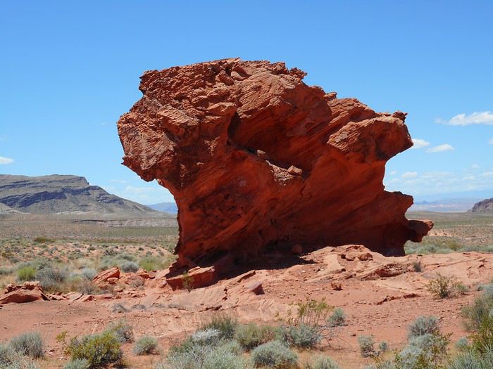
After about thirty kilometers, I arrive at "Whitney Pocket," where there are 4 or 5 RVs parked. From here, getting to "Little Finland" normally requires a "4WD," which I don’t have (budget), but I found a way to get there with a regular sedan by doing an off-trail hike (cross-country hike) from "The American Southwest." I take the track heading south from "Whitney Pocket" and follow it for 3.5 miles (5.6 km), then park at this spot (left-hand turn).


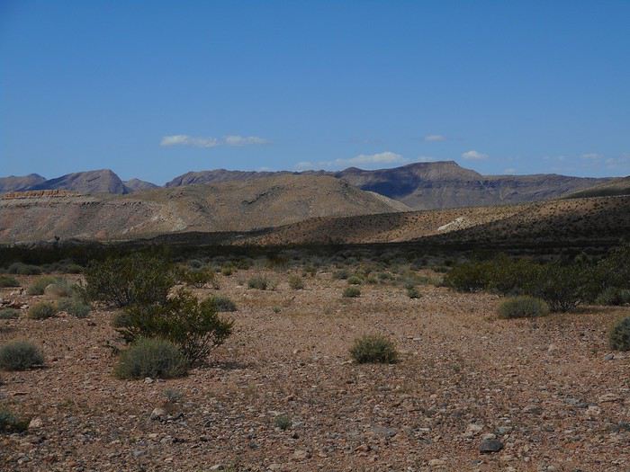
On the map, this is the "2WD parking" (GPS coordinates 36.480N 114.167W). The "4WD parking," located below the "Little Finland" plateau, is in the opposite corner of the map (GPS coordinates 36.448297N 114.215072W). The off-trail hike follows the path that crosses the map diagonally from northeast to southwest. "Little Finland" (also called "Devil's Fire" or "Hobgoblins") corresponds to the shaded area on the map. I set off with the map, a hiking GPS, a compass, and notes I got from the "American Southwest" site for navigation. The landscape shortly after departure.


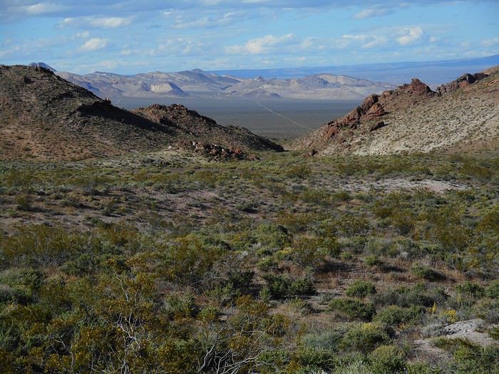
You need to head southwest, aiming for a low point (a small pass with little elevation change) in the line of hills. When I reach it, I’ve covered 1.6 miles (2.6 km) and this is the view in front of me.


You need to descend the hill and continue west-southwest. On the way there, I make a small mistake (the only one): I don’t take the wash where the trail runs on the map but the one further south (I aimed a bit too far southwest). Keep the ridges on your left. A distinctive isolated rock to pass near about 1 km from "Little Finland" (distance from memory).


As you approach the site, you climb onto the plateau and see the "4WD parking" far below. From the small pass to "Little Finland," it’s 1.9 miles (3 km). The straight-line distance between the two parking spots on my GPS: just under 5 km (from memory). Exploring the plateau (no signs—you have to search randomly).


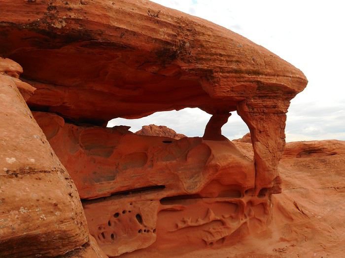
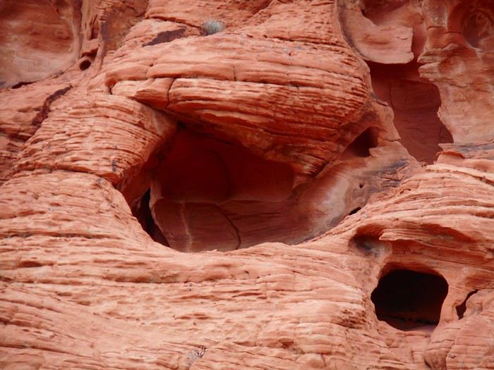
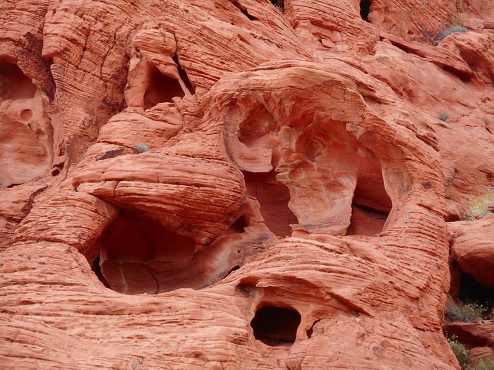
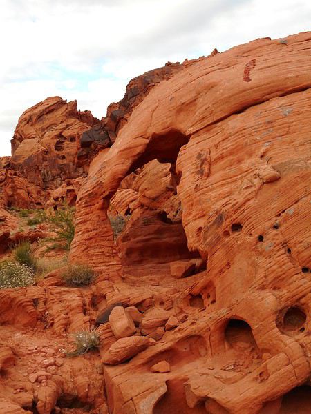
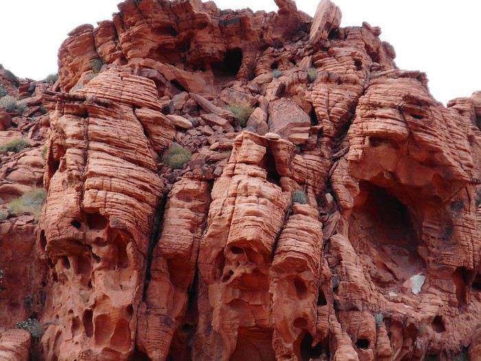
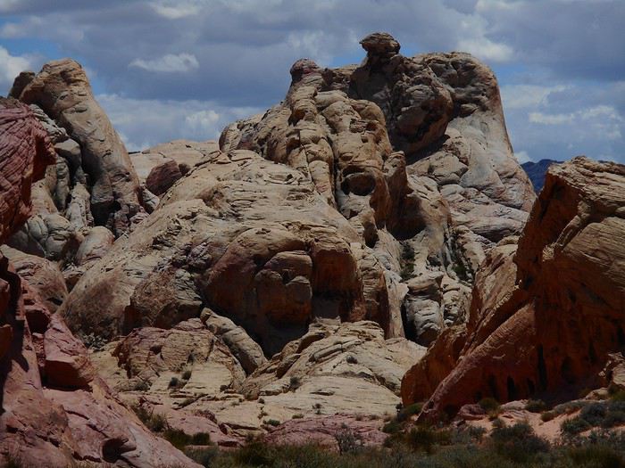
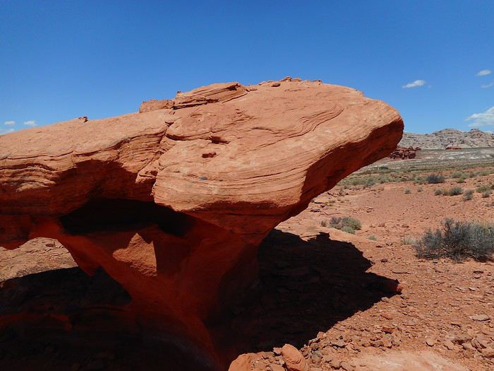
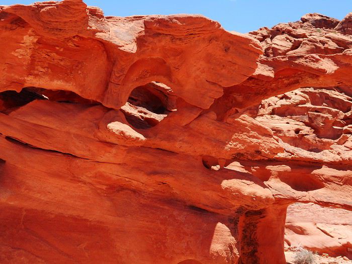
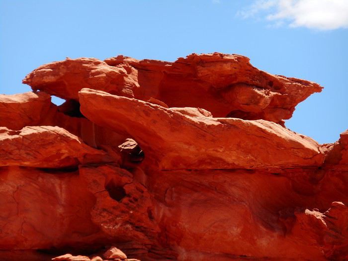
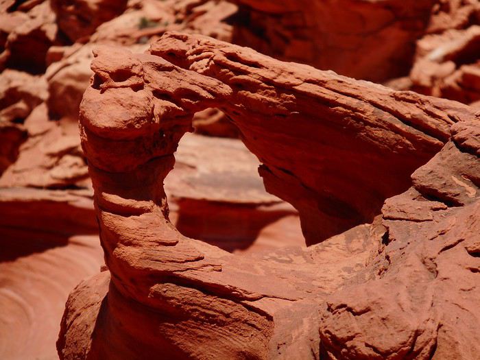
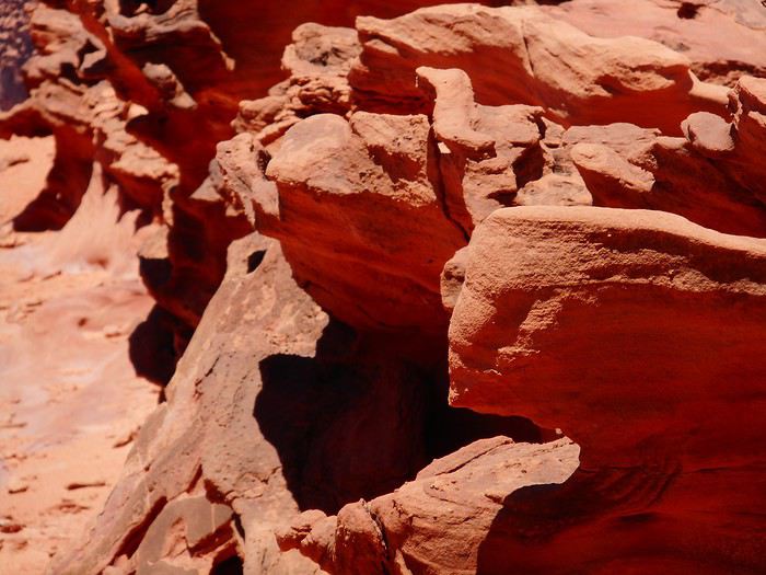
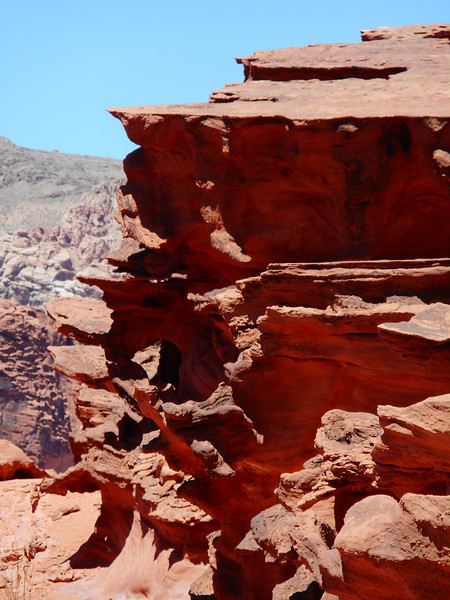
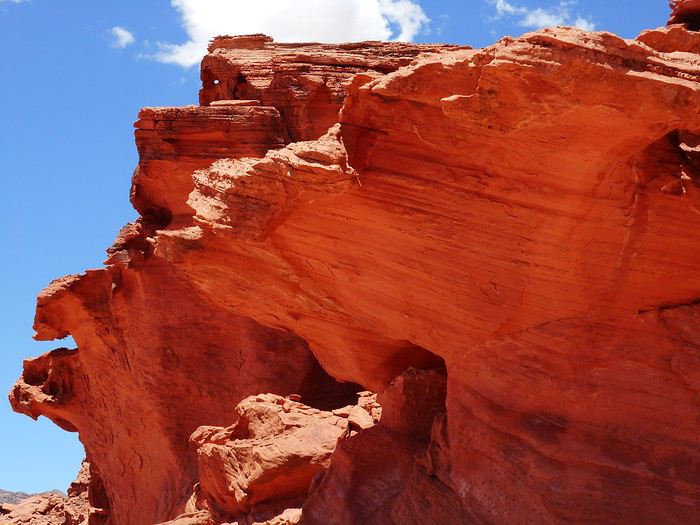
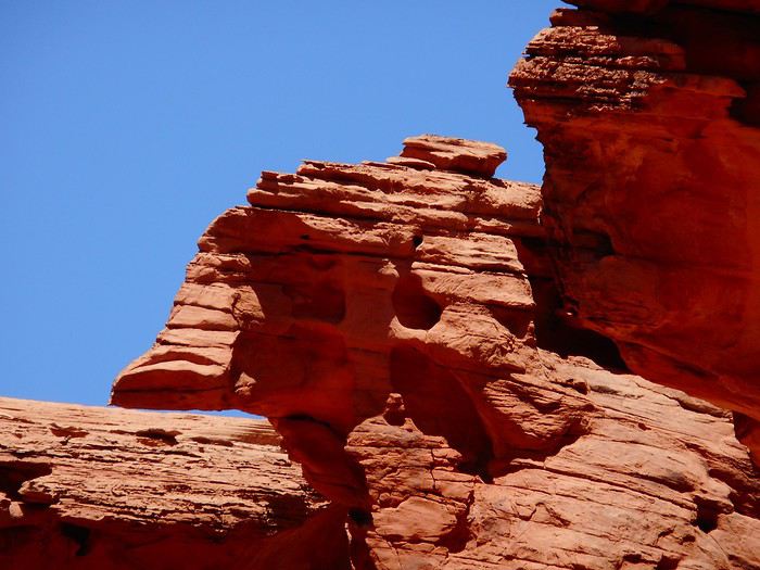
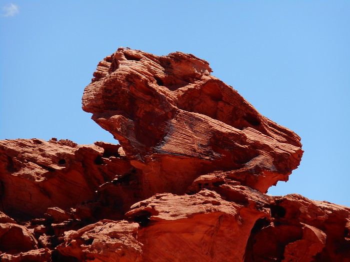
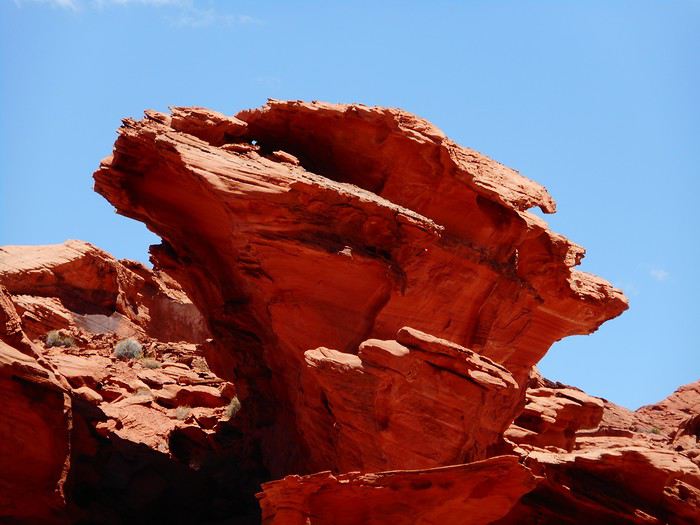
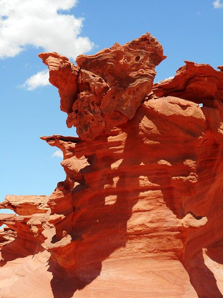
Some details (or close-ups) let you imagine whatever you want.


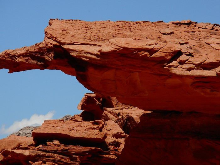
A few more intricately carved rocks.


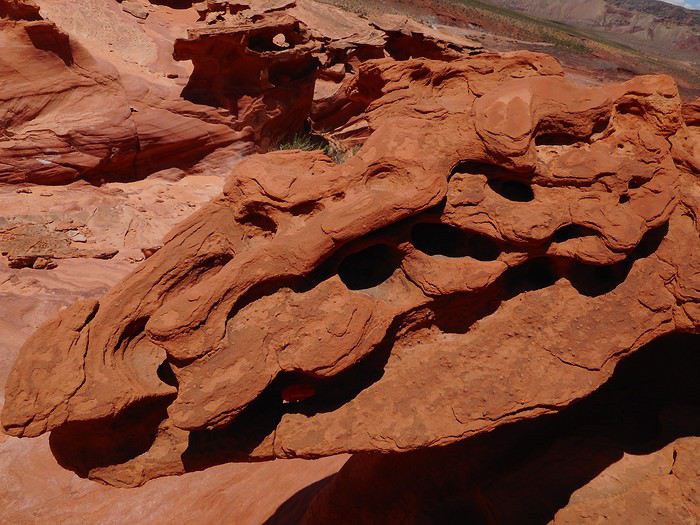
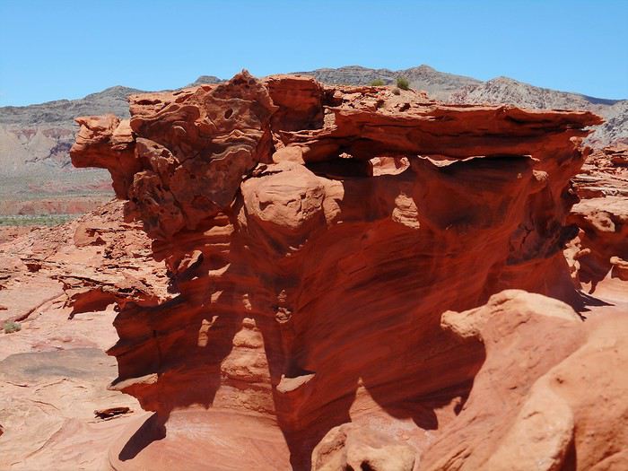
Apparently, it’s mostly the wind that created all these shapes.
DI Diamina Globetrotter ·
Hey Michel,

Valley of Fire and Little Finland are on the itinerary, so I’m following your trip closely!!!
MA Marati Globetrotter ·
Hello Michel, A great alternative for reaching Little Finland, especially for those who aren’t properly motorized or prefer to play it safe. Thanks—I’ll make sure to save this tip!

Crazy Hill looks fun. It’s definitely more practical to know in advance what to look for, so you’re sure to find it—unlike us . I mean, this park is so packed with colorful, oddly shaped rocks that it’s easy to get mixed up!! We’ll have to go back...
JU Ju45 Regular ·
Hi Michel,

Thanks for the tip about Little Finland—I’ve saved a POI in "Maps.me" for next time, just in case, like Guillaume did. I’m still following your adventures. Your photos are gorgeous, and your tips are always spot-on—such a great read.

Cheers,

Julien
DI Diamina Globetrotter ·
Hey man,

Took you over a month to find this travel journal! 😉 Even I saw it before you, and I'm always late!!! What have you been up to, Doudou?
MA Marati Globetrotter ·
Hey there! LOL!! 😄😏 So you missed the 3rd post in this travel journal, the first one from someone other than the original author... No worries, you must’ve been in such a rush to read—finally not late for once 😛 😏!! Can’t blame you, though, with such a flashy avatar...
DI Diamina Globetrotter ·
So you missed the 3rd post in this travel journal, the first one by someone other than the author...

Uh...🤪 Well, uh...😮 Pfft, a tiny little sentence doesn’t count... right?......😏
BE Bertoni Regular ·
Hello, Thank you for sharing your memories and your beautiful photos in such a great spirit. We don’t hike anymore because we’re a bit too tired, but your journal makes us want to hit the red rocks again. Thanks again for letting us experience this!
VA Valmichel86 Regular ·
Day 13: continued

Here are two rocks: they look similar but are different.


Two more among many.


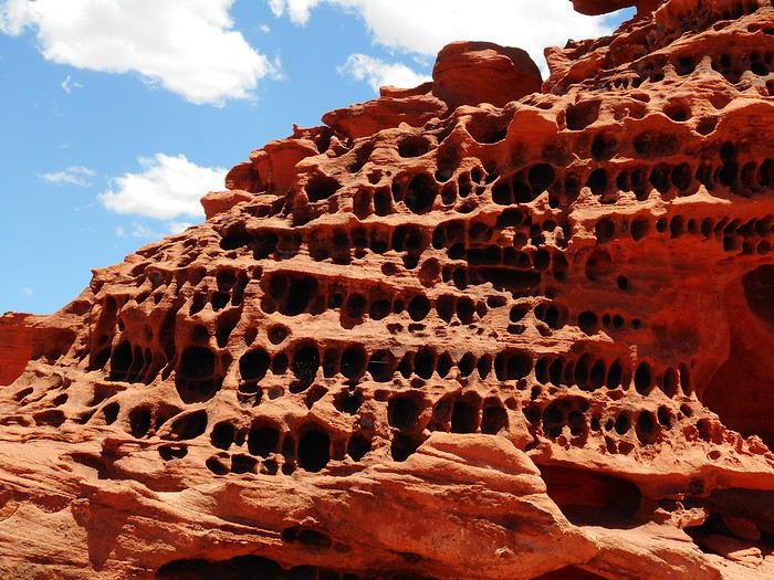
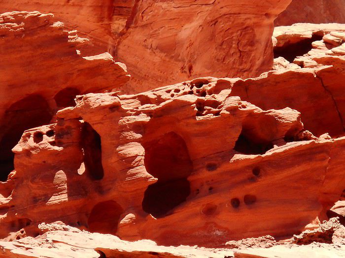
And finally, two others with a different look that I’ll call "honeycombed."


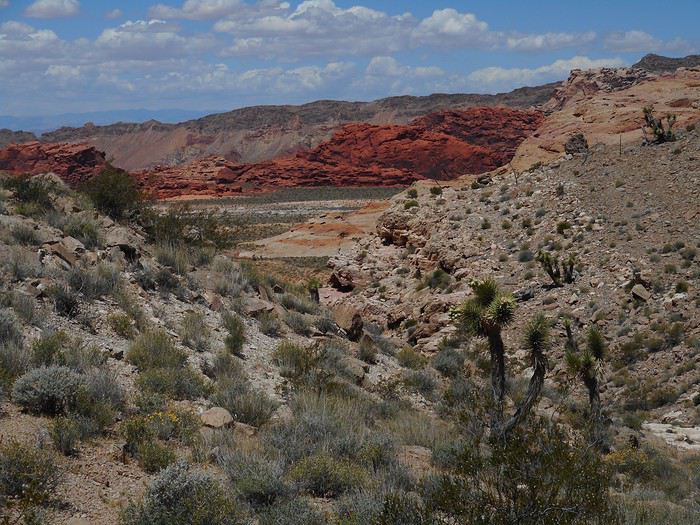
I spent a good hour exploring the area, and I’m not sure I reached the most interesting spots since I had no guidance and the space is vast. I take the path back—no orientation issues. Before climbing up to the small pass in the line of hills, there’s a rock formation that might remind you of parts of Valley of Fire or Red Rock Canyon, or even give a preview of what I’ll see tomorrow.


Summary: I was out for about 5.5 hours, including exploring the area. The hike was 11 km off-trail. The temperature was 22°C at the start and 28°C on the way back, likely around 28–29°C for more than half the hike. I brought 4.2 liters of water and drank 2.7 liters. This hike is doable, but you’ve got to be careful. You should have experience with hikes of this length, in these temperatures, off-trail, and know your limits and how to use navigation tools. It’s not a place for trial and error—there’s no shade, and you probably won’t see anyone all day (that was my case: 2 cars in the "4WD" parking lot, but I didn’t see the occupants on-site). Back at Valley of Fire campground.

Similar discussions

You might also like