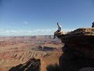
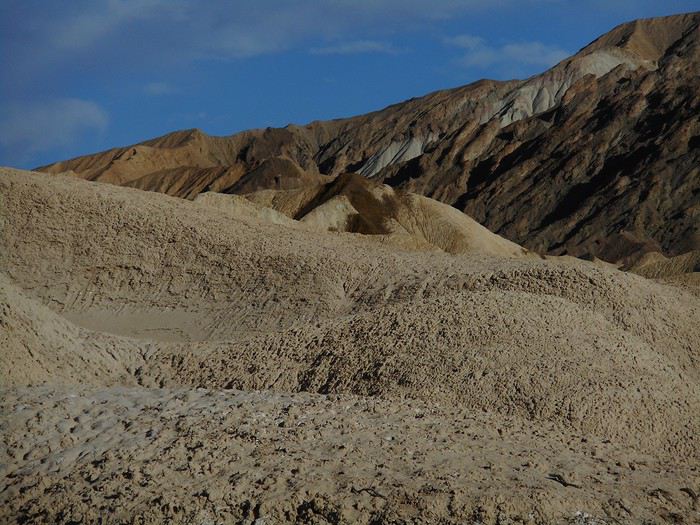
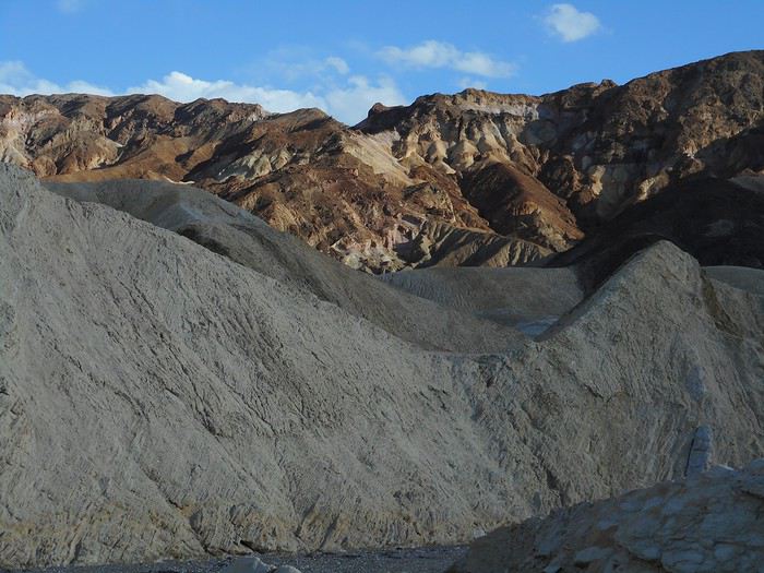
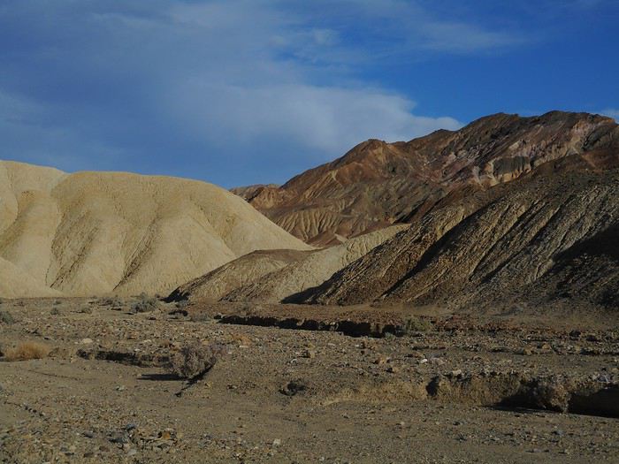
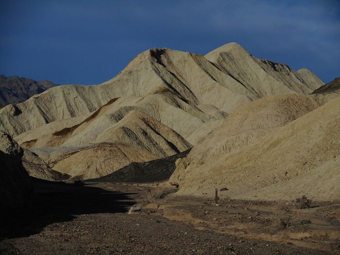
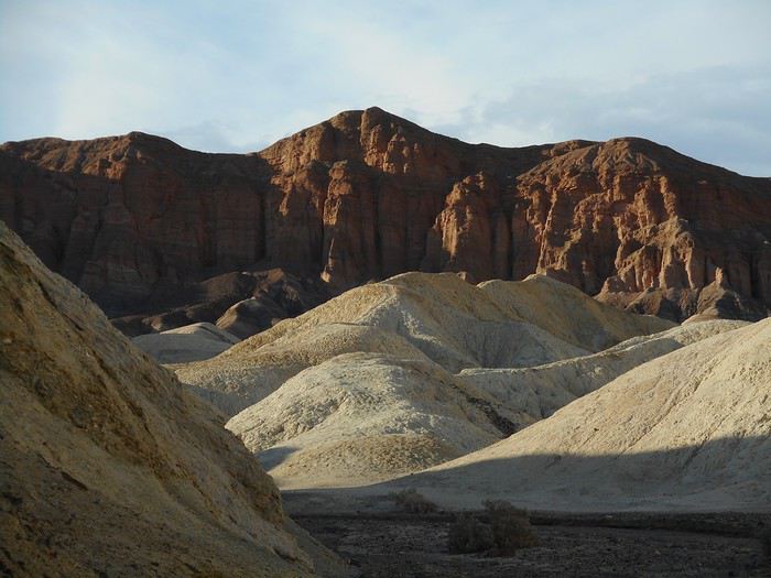
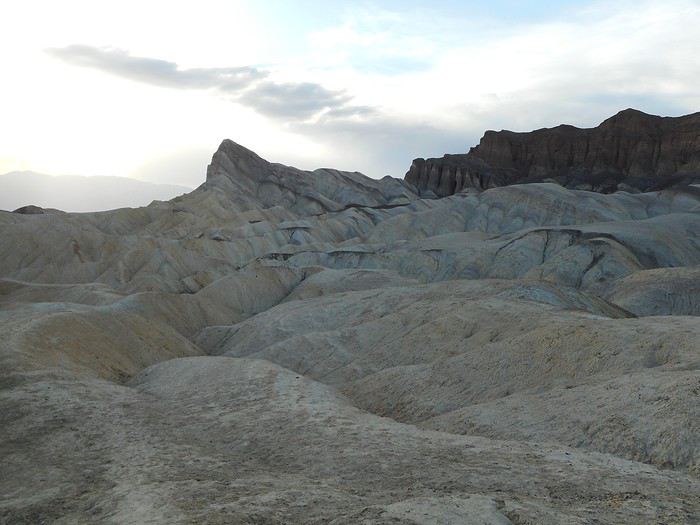
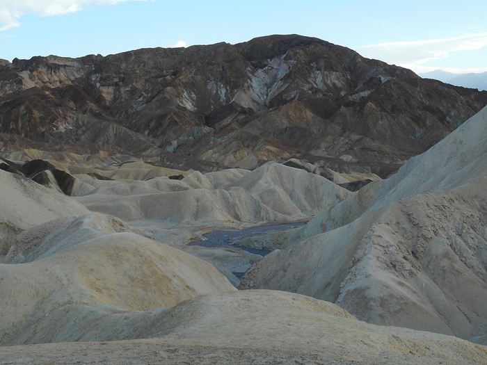
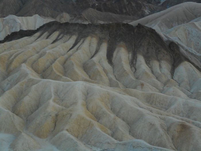
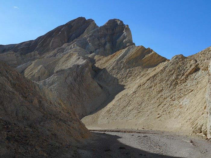
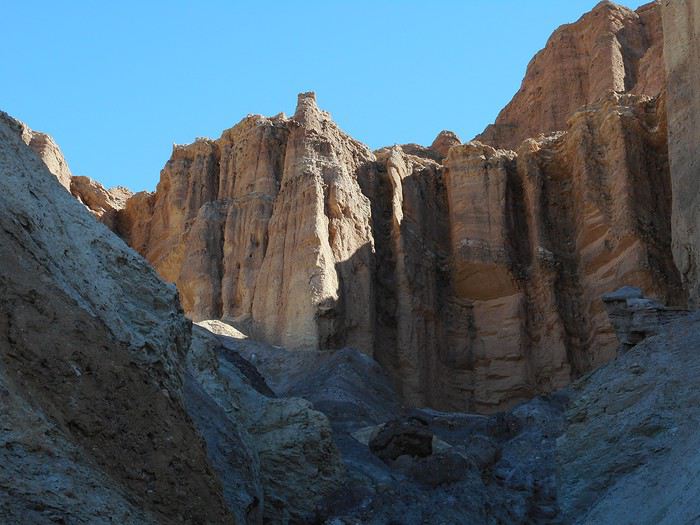
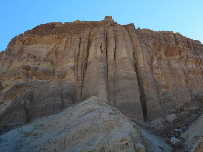
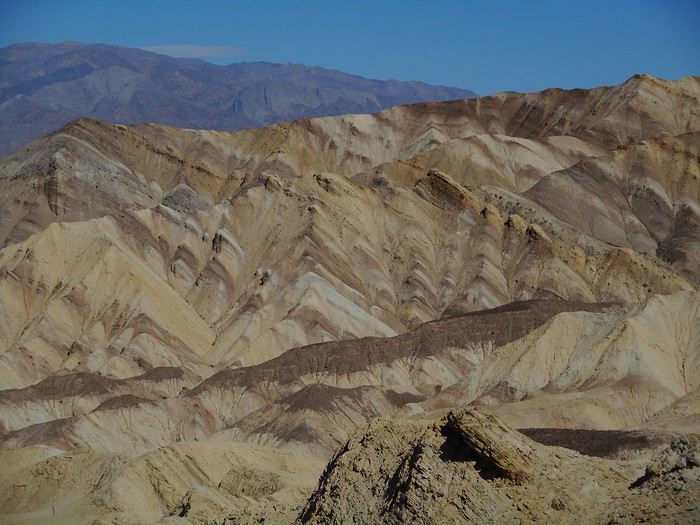
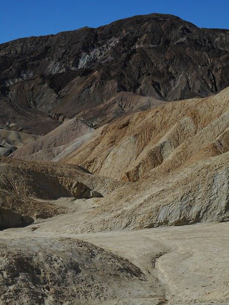
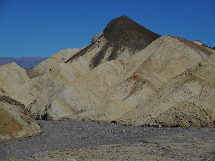
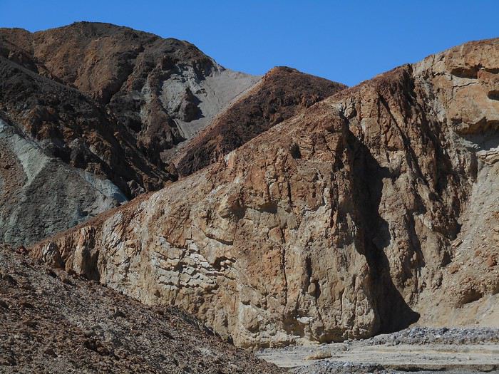
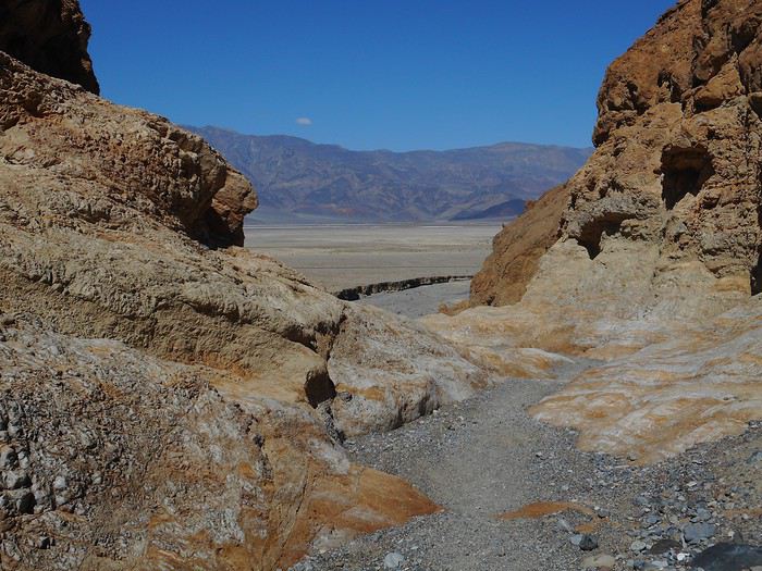
California! Nevada! Utah! Oh!

FR

Translated into English.

Original post
VA
After my trip to Oregon in 2018 (see Travel Journal "Oregon and Only Oregon"), I vaguely intended to return to the West (the western USA, of course—the west of France is where I almost live) someday, later... with no specific date or plan.

November 2018, I stumbled upon a promotion for round-trip flights from Paris to San Francisco. Well, I *stumbled*—they must’ve collected some "data" on me to make sure this deal crossed my path. And it worked! My ESTA was still valid, and two days later, it was decided: May 13, 2019 (departure from Paris) to June 15, 2019 (return to Paris).

The travel style? Just like last year: low-budget trip, rental car, and accommodation only in campgrounds, with no reservations to stay as free as possible.

Exceptions? 3 nights in a youth hostel upon arrival in downtown San Francisco, and 1 night on the way back (right before flying) in Montara, near Pacifica—a spot that seemed well-located for driving back to the airport in the middle of the night.

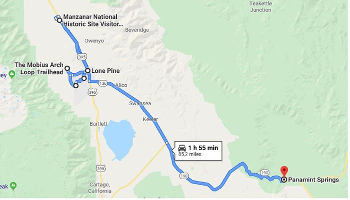
Now, to sketch out the rough itinerary. Here’s what it looked like after the trip:

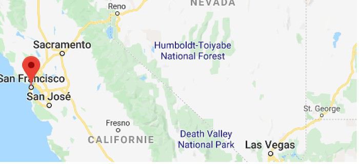
Westernmost point: Montara Lighthouse on the coast, 30 km south of San Francisco (California); Easternmost point: Zion National Park (Utah). Northernmost point: Reno (Nevada). Southernmost point: Spring Mountain Ranch State Park in Blue Diamond, near Las Vegas (Nevada).

Another view:


I’ll be spending 33 days in this little area! I’m a slow traveler.

Meanwhile, I realized that in some places I wanted to visit (Las Vegas and National Parks), it was better to book ahead. So, I added to my reservations: - 2 nights in a hostel in Las Vegas - 6 nights of camping in the national parks (2 at Zion NP, 2 at Yosemite NP, 2 at Sequoia-Kings Canyon NP). Between all these dated stops, it’s a choose-your-own-adventure from the ideas I found.

I’m also a slow writer—slow writer, slow traveler—so it’ll take me a while to wrap this up. I’ll start tomorrow.
Valmichel86
VA Valmichel86 Regular ·
Day 1: Monday, May 13, 2019 (Paris-San Francisco)

I had to spend the night in Paris since that’s where I live. Air Canada’s flight was scheduled for 10:45 AM, so I had plenty of time to get to Roissy, check in, and board. I don’t remember much about the process except that everything went smoothly and on time. I got up pretty quickly after takeoff, hoping to see the French coast and the sea since the weather was clear. And I wasn’t disappointed—the flight path showed the Normandy Bridge on the right side, followed by La Rivière-Saint-Sauveur, Honfleur, Pennedepie, and all the coastal towns all the way to the other end of the department (having grown up in Calvados, I know and recognize them all). Next came a view of the Cotentin Peninsula, and on the left, the island of Jersey. The Norman coast is gorgeous in the sun! The flight wasn’t direct; there was a layover in Canada, in Toronto, on the way there. When we arrived (around 1 PM), the cloud cover was low, *very* low, it was raining, and it was 6°C. Rain was beating against the windows and streaming down. I followed specific signs for transit to the U.S. At one point, a line had formed in front of a set of machines with about a dozen individual stations. The process involved scanning your passport and fingerprints. The passport scanner worked fine, but the fingerprint part was another story. Was the glass too dirty for the machine? Did I need to press harder with my finger? Either way, the machine just kept displaying "try again." In total, it took more than 10 attempts because there were multiple fingerprints to scan. Now I understood why there was a line—but I forgot my passport on the scanner. I ended up in a room with chairs, waiting like everyone else, before being directed to another area called the "American sector" out loud. After another line, I reached an immigration officer (if I understood correctly, when you have a layover in Toronto, U.S. entry control happens there instead of upon arrival in the U.S., since I wasn’t checked when I landed in San Francisco). Then I realized I’d forgotten my passport. "Sir, go back to where you left it and ask the agents for help." (It was maybe fifty meters back to the machines.) I couldn’t just turn around—the flow of travelers was one-way, and I was the only one going against it (which was forbidden). Agents stopped me and redirected me to the machines via a much longer and more unsettling route: a blind hallway, an intercom, waiting, a door opening by an agent I couldn’t see, then another blind hallway. Finally, I made it back to the machines and quickly retrieved my passport with the help of a French-speaking agent. A few dozen minutes later, I was back in front of an immigration officer. A few questions in French—the way my interviewer spoke left no doubt: it was his native language. His last name (on his badge) also sounded distinctly French. "What are you going to do in Nevada?" ... "Have a good trip." I assumed he was a French Canadian, but I wondered: do the U.S. employ Canadian citizens as immigration officers in Toronto? Or was he an American of French descent working there for his country?

The Toronto-San Francisco flight was on time, arriving around 7:15 PM.

I quickly retrieved my checked luggage. Then, if you know how to read and know that the rail connection to the city is called the "BART" (which I did), you can follow the signs (well done) and find yourself in front of a machine that sells tickets to San Francisco. The machine’s operation was confusing (even for the English speakers in front of me), and the company knows it because there was an employee there to help travelers. "Explaining" has never been an easy job, and the employee seemed to be getting tired of it. He asked the English speakers in front of me which station they wanted to go to and did everything for them (all they had to do was handle the payment with their credit card). When it was my turn, I made a point of doing it myself with the employee’s help (everyone’s got their little pride).

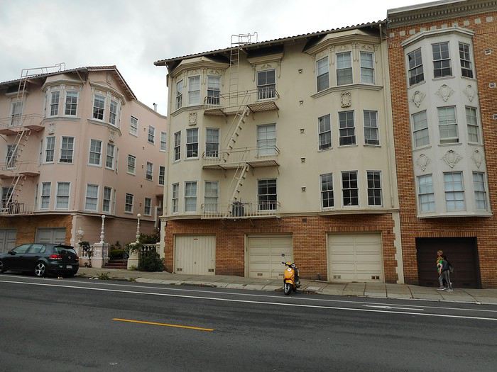
I’d booked 3 nights at the "HI San Francisco Downtown" hostel, which is on "Mason Street." I had to get off at "Powell Street Station," right in the center. Exiting the station, it was easy: two blocks north (on "Powell Street"), then left and right, and I was there. And if I’d walked those two blocks, turned around, gone back to the airport, and flown straight back to France, what would I have seen at that hour (around 8:30 PM)? -Moderate traffic -Ordinary pedestrians -Cable cars "turning around" -"Homeless," the local term for our rough sleepers.
Valmichel86
MA Marati Globetrotter ·
Hi Michel, Great, a new travel journal I’ll follow with pleasure. Your pace will be ours ;) !
VA Valmichel86 Regular ·
Day 2: Tuesday, May 14, 2019 (San Francisco) The first night after a big time difference is never the best for sleep—that holds true. On the other hand, the hostel’s all-you-can-eat breakfast is a great idea, letting me tackle the morning and midday without worrying about food. It even keeps me going until early afternoon—perfect for tomorrow.

I take a quick walk outside before heading out: smart move. I’m wearing everything warm I packed—a thermal undershirt, a sweater, a thin fleece (the kind you wear under a winter jacket), plus a T-shirt.

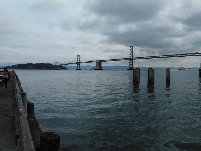
I head to the "Powell Street" station, then follow "Market Street" down to the waterfront near the "Ferry Building" by the bay. As I cut through the buildings to reach the pier, I get a view of the "San Francisco-Oakland Bay Bridge."


I loop back through the streets near "Market Street."

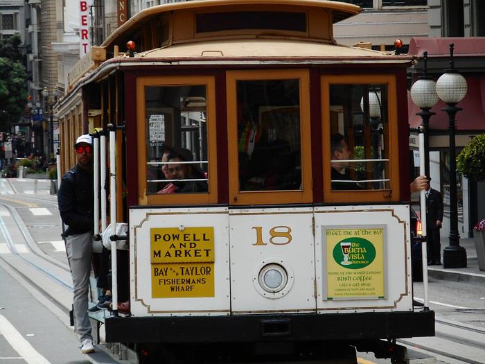
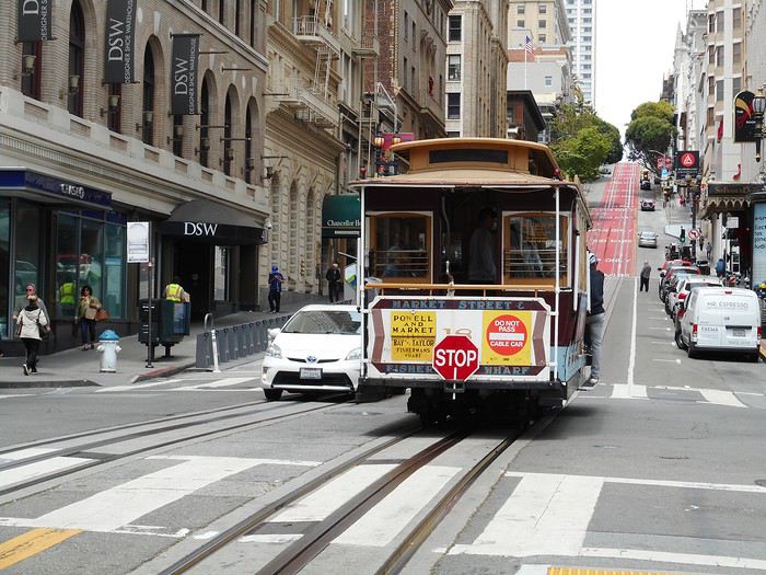
In the afternoon, I decide to visit "San Francisco Maritime National Historical Park," located north of the numbered piers—past "Pier 45" or "Pier 47." Since the hostel is just steps from "Powell Street," I snap a few photos of the cable cars before hopping on the bus.


The bus rolls through Chinatown. By this point, the only English voice left is the automated stop announcements. If you catch a snippet of conversation or glance around, it’s unmistakably Chinatown—though I only get a quick glimpse from my seat.

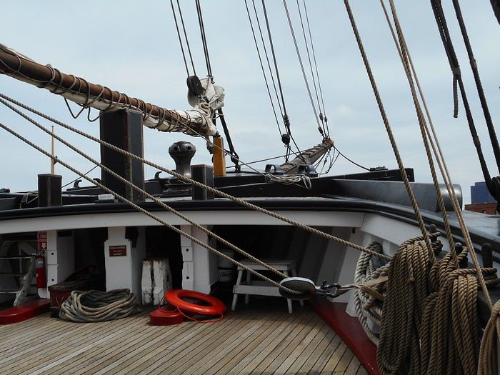
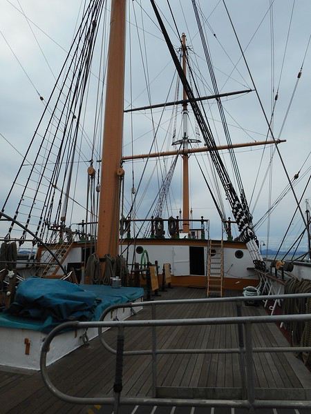
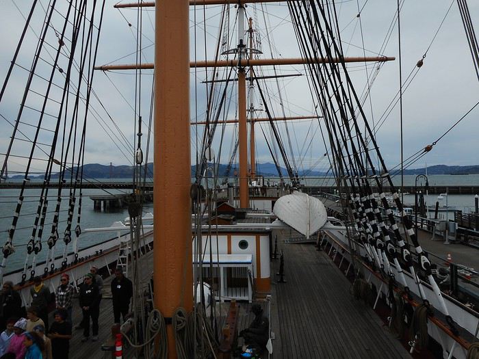
Eventually, the bus leaves the neighborhood behind and drops me off at the end of "Hyde Street." "San Francisco Maritime" is a "National Historic Park" showcasing the Pacific Coast’s maritime history. Like any national park, it has a visitor center, which I check out. The ships are docked right nearby along "Hyde Street Pier." I buy the "America the Beautiful" pass, which will work for all national parks, and board the "C. A. Thayer."


It’s a schooner built in the late 19th century that was used for transporting lumber, salted salmon, and later fishing.

Next up is the "Balclutha."


A three-masted square-rigged ship and Cape Horner, it was used, among other things, to transport grain from California to Great Britain. There’s also a wooden paddle-wheel steamship, the "Eureka" (originally the "Ukiah"), which spent its entire career in the San Francisco Bay as a ferry for passengers, railroad cars, and eventually automobiles.

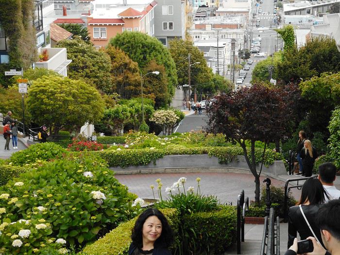
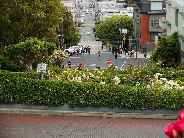
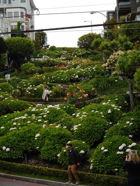
To get back downtown, I just follow "Hyde Street." And right where "Hyde Street" meets "Lombard Street," where am I? At the top of the world’s most famous steep street. "Lombard Street" stretches for miles, but its fame comes from this one short section.


The one-way downhill lane is designed with a series of switchbacks to reduce the grade to 16%. Pedestrians aren’t welcome on the road itself—stairs are provided on either side. That’s a good thing, because if you went straight down, the slope would be much steeper than 16%. The rest of the block is landscaped with tall plants that almost hide a low-slung car making the descent. In this long street, visible from its high point both east and west, this is the only section landscaped this way—the rest is a typical city street.


Taking photos from ground level isn’t easy.

This is my first "must-see" in the city, and for a must-see, there are certainly some people around, but it’s not too crowded. Afterward, I walk back downtown along either "Leavenworth Street" or "Hyde Street," making for a several-kilometer stroll.
Valmichel86
BI Bibouns51 Globetrotter ·
Hi Michel, Great, a new travel journal I’ll follow with pleasure. Your pace will be ours ;) !

You get around, Guillaume! :P I’m jumping on board for this new journal too!
http://onpartenvadrouille.over-blog.com Carnets de route "décalés" : Jordanie, Balkans, Thaïlande, ouest américain, Birmanie, Pérou, Cambodge, ...
VA Valmichel86 Regular ·
Hey Guillaume, I’d definitely read your travel journal before leaving. I got some ideas from it and even some data—GPS coordinates that’ll come in handy in the "Alabama Hills".
Valmichel86
TI Tifi2012 Regular ·
Good evening,

Great! Another little travel journal to read by the fireside! I'm in!

Vinciane
VA Valmichel86 Regular ·
Day 3: Wednesday, May 15, 2019 (San Francisco) I’m dressing like yesterday, with a K-way jacket on top to protect me from the rain (intermittent this morning) and the wind. I need to be at Pier 33 a little after 9:00 AM; the best way is to take the bus for most of the trip and then walk the rest. Here we go.

During the walk (toward "Sansome Street"), I see a guy coming toward me on the sidewalk—a big guy, 30-35 years old, beard somewhere between blond and red, short hair, fit, and... wearing a short-sleeved shirt! Respect, man! I should act (out of politeness) exactly as if I hadn’t noticed he was there, but caught off guard on this chilly morning, it’s not that easy. Actually, I picture him taking a break somewhere on the edge of a forest rather than in San Francisco. You might say: "There you go, falling into the cliché, the pioneer stereotype." Uh, yeah, but... I really had that impression.

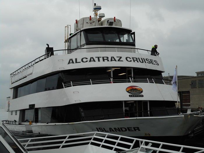
I arrive at "Pier 33"; it’s the dock where boats leave for "Alcatraz Island."


The people who arrived early are waiting; ten minutes later, everyone boards, and the boat is full. Departure at 9:30 AM. The tourists who booked this "must-see" (I think everyone did, like me) don’t cancel even in less-than-ideal conditions—you wouldn’t get a refund. When we arrive on the island, at least a hundred people are waiting for the return trip: they must’ve taken the "early bird tour" (for early risers) and rushed through the visit. After the Ranger’s talk, people head to the screening room, then scatter everywhere. There are two main points of interest on the island: - the viewpoints - the penitentiary and its outbuildings.

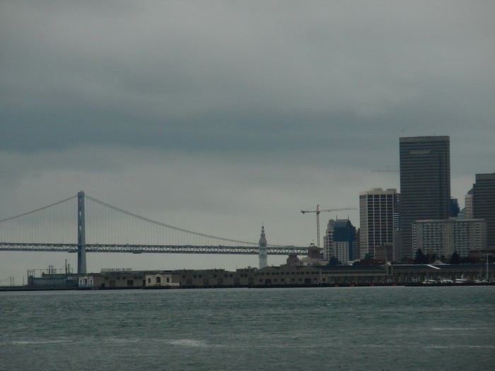
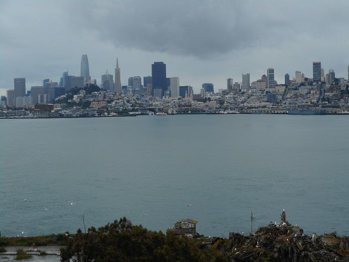
Here’s the view of the "San Francisco-Oakland Bay Bridge"


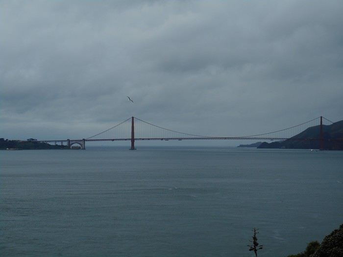
and the one of the "Golden Gate Bridge."


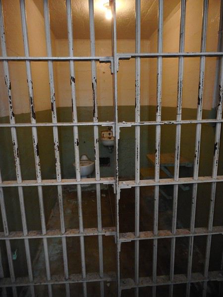
Inside the penitentiary (audio guide in French), you can, in no particular order: - see the cells


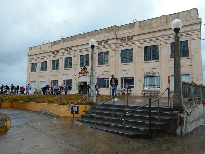
- walk through the hallways, the library, the cafeteria, etc. - take photos of Al Capone’s picture or other prisoners - go out on the terrace to see the administration building from the outside


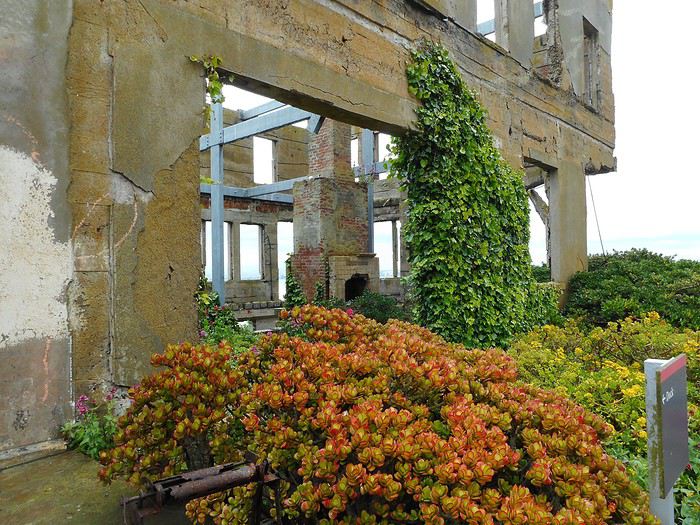
or the warden’s house (clearly less sturdy than the penitentiary itself)


- buy a ton of stuff at the gift shop - learn a bunch of things about the prison’s history and the inmates’ lives.

"You don’t escape from Alcatraz." That’s supposed to be a saying.

"Trying to swim for it" is more of a suicide attempt than an escape—the water’s cold, the currents are strong, and San Francisco is farther away than the opposite side of a pool.


However, in 1962, Frank Morris, Clarence Anglin, and John Anglin escaped using the ventilation ducts. They had a makeshift raft and left the island. They were never found: it’s assumed they drowned, but some claim they made it. The mystery remains, and the case has resurfaced in the news several times.

But memories are personal, and Alcatraz also brings back happy times for the warden’s daughters (wardens lived on the island). In the documents on display, you can see photos of them around 8-10 years old and read their testimonies. (very rough quotes from memory) "We had so much space to play outside!" "We went to school by boat every day!" "We were allowed to go out and play in the gardens." Life on the island reminds them of a happy childhood.

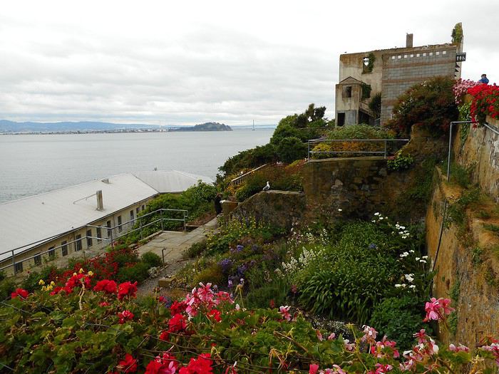
The gardens are still there, maintained by volunteers who were present that Wednesday, and they’re apparently of botanical interest.


Back in San Francisco (Pier 33), I disembark in the dock area. It’s past 2:00 PM, and there are tons of tourists (the intermittent rain stopped around noon and won’t start again until late afternoon). A bunch of stalls and shops offer everything you could want as a tourist: drinks, food, souvenirs to bring back, plus attractions like the Bay Aquarium—there’s plenty to do. I grab a bite to eat; the all-you-can-eat breakfast calories are long gone by this hour. It’s also a chance to get used to San Francisco prices, which are *very* high. I spend my time wandering: shops, docks including the famous "Pier 39."


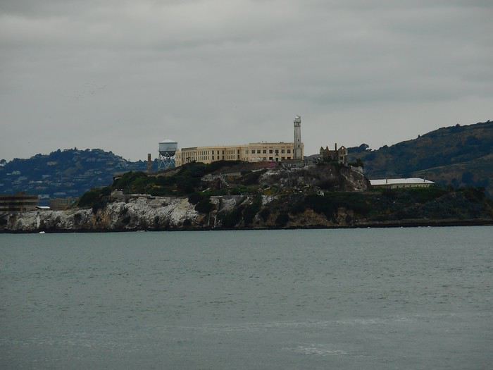
At the end of "Fisherman’s Wharf," I’m at the spot where the distance between "Alcatraz Island" and the coast is the shortest. View of "Alcatraz Island."


I’ve also reached the place where I was yesterday afternoon, "San Francisco Maritime NP." I’d love to visit the maritime museum, but I let time slip away, and it closes in 20 minutes. I head back on foot via "Polk Street," which starts right across from the museum. The northern part of "Polk Street" is lined with well-kept small buildings.


Farther down "Polk Street," I stop by a neighborhood grocery store. What a bad idea to try to buy an apple and a yogurt! We’re not just talking high prices anymore—these are *prohibitive*. They must’ve set them on purpose so people wouldn’t buy them... and fall back on what? For fresh fruit, bananas are at a normal price; for dairy, nothing. San Francisco prices! !
Valmichel86
VA Valmichel86 Regular ·
Day 4: Thursday, May 16, 2019 (San Francisco-Allensworth)

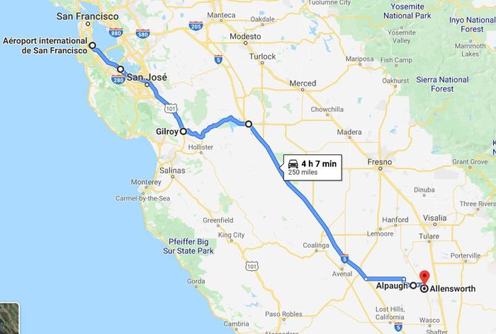
I take the BART to San Francisco Airport where I’ve reserved a car from Alamo; it’s an "Intermediate" category vehicle (for reference, a Hyundai Elantra or similar). Since you can choose your car from those available in the category, I do a few quick tests. I want "sleeping in the car by folding down part of the split backseat" to be as comfortable as possible (I had to do this last year when pitching a tent wasn’t an option). I pick a Nissan Sentra. Route


I leave the airport area and drive south on US-101 through the metro area to San José. I continue to Gilroy through a landscape with yellowed grasses (like late-summer grasses in France). After shopping in Gilroy, my route crosses a ridge (Coast Range), goes around San Luis Reservoir, and I merge onto I-5 (Interstate 5) heading south. Since this morning, it’s been a cycle of showers with lots of wind: blue sky, clouds rolling in, a good downpour, clouds clearing out, and the cycle repeats. I now have a thermometer, and the temperature fluctuates between 12°C and 16°C. On the Interstate, I suddenly notice a big billboard: a kid scratching their head, totally baffled, wondering (in a speech bubble) "Is growing food waste water?" They’ve just heard the argument that using water for irrigation is a waste. The debate on this topic must be intense in California. The kid clearly represents the viewpoint of farmers in the San Joaquin Valley. That’s the huge (and irrigated) plain between the Coast Range and the Sierra Nevada. I couldn’t stop on the Interstate to photograph the billboard, but I later saw the phrase posted many times by the farmers’ side—just without the kid from the ad. At exit 305 (mile markers), I leave the Interstate, head east to cross the San Joaquin Valley, and arrive in Alpaugh, a small town with a few houses in the plain. There’s a store: gas + groceries + a little bit of everything. I go in out of curiosity: on the food side, snacks (sweet or salty) and chilled drinks (beer and sugary drinks) take up about half the shelf space.

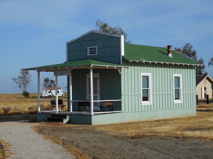
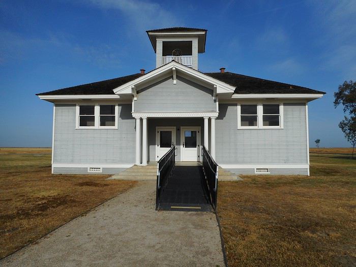
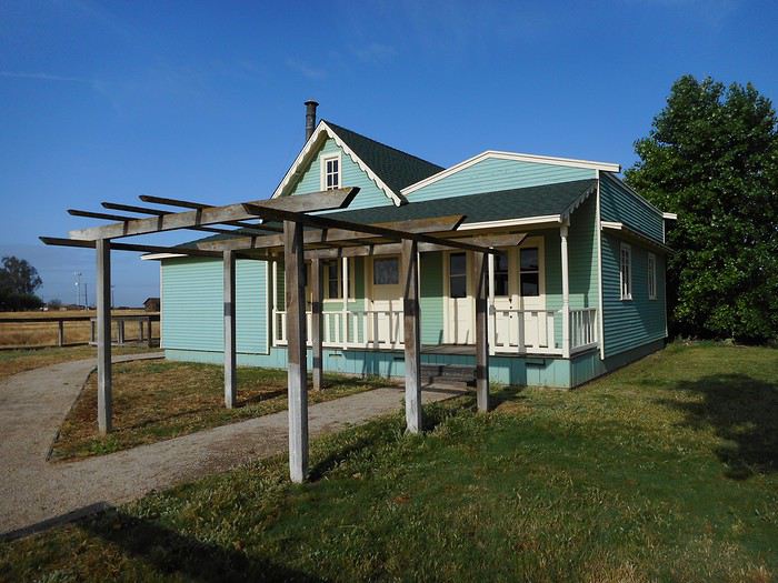
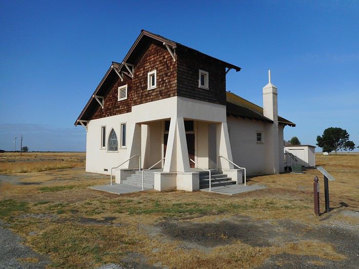
A few miles later, I reach Allensworth (still in the plain). Allensworth is a utopia, one man’s dream: Allen Allensworth. Born into slavery, he escaped during the Civil War and joined the Union ranks. After the war, he built a career in the military (rising to lieutenant colonel), pursued studies (earning a doctorate in theology), and became a pastor. After retiring from the army in 1906, he settled in California and launched a project for an independent, self-sufficient town funded and governed by Black Americans. The town was founded in 1908 and thrived: farmers, artisans, shopkeepers, a doctor, a school. 1914 marked the turning point: the railroad station was moved to Alpaugh, water supply issues arose, and Allensworth died in an accident. After that, it was a gradual decline and eventual abandonment. It’s now a California State Park; about twenty buildings have been meticulously restored (maybe *too* meticulously—it feels brand new). They’re visible from the outside (I think the interiors are open on weekends). The park reports 70,000 visitors a year; today, I can count them on one hand.

Mary Dickinson Library.


Elementary school.


Allen Allensworth’s house.


Baptist church.


So? "Ghost town or not ghost town?"

Night at the State Park campground.
Valmichel86
VA Valmichel86 Regular ·
Day 5: Friday, May 17, 2019 (Allensworth-Lone Pine)

For me, it’ll be a "Ghost Town"—I’m sticking to the literal meaning. But if we consider what the term "ghost town" usually evokes—presence of precious ore, boomtown, mostly male population, saloons, violence, etc.—then no, it doesn’t fit.

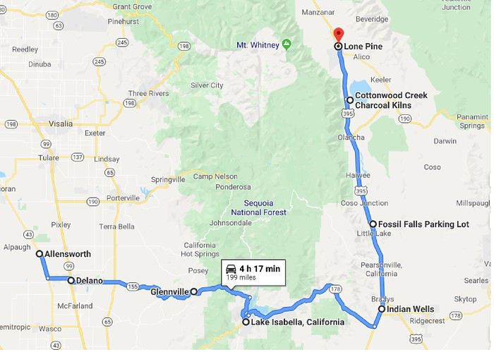
Route.


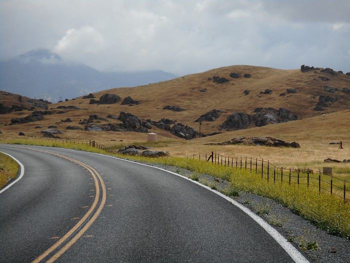
It doesn’t take long to reach Delano. I pass through the center and accidentally exit via "Cecil Avenue." Once out, I cross a vineyard, "Columbine Wineyards," an impressive example of "industrial" agriculture (it must cover hundreds, if not thousands, of hectares). Just so you know, it’s table grapes. Back on Route 155, I reach the first hills (foothills of the Sierra Nevada) with rocky outcrops in the fields.


The road climbs slowly, reaching Glennville (elevation 1,000 meters), and continues upward. Landscape around 1,500 meters elevation.


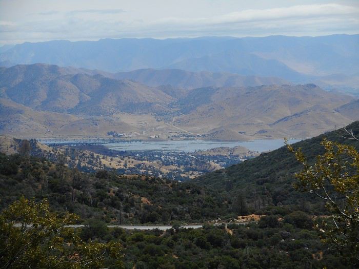
Visibility keeps dropping, as does the temperature, and the stretch around the pass (2,000 meters elevation) is foggy and damp with a temperature of 2°C. On the descent toward "Lake Isabella" (the lake), the scenery changes. I’m entering a much drier region.


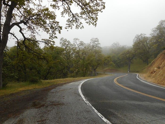
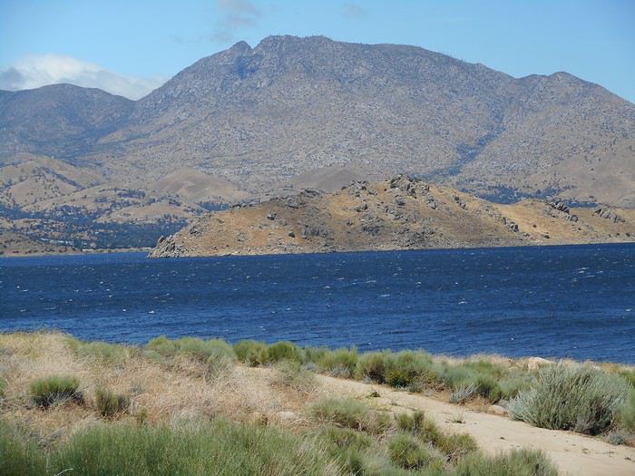
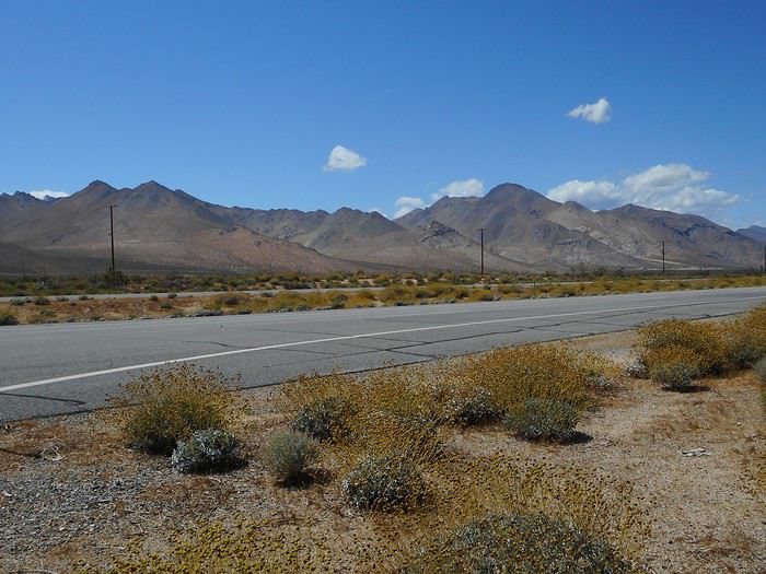
I go around the lake to the south. The wind is fierce, whipping up choppy waves on the reservoir, and the temperature is only 11°C. The steppe landscape (sagebrush steppe) takes over.


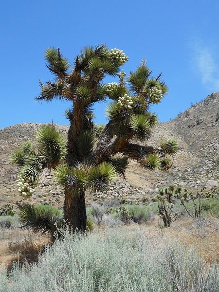
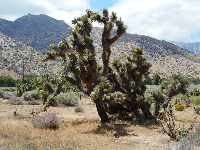
I spot my first Joshua Trees—I’m surprised because I didn’t expect to see them here. I thought you had to go farther south into the Mojave Desert.


I cross the pass (Walker Pass, 1,500 meters), descend the eastern side of the Sierra, and take US-395 toward Lone Pine. The wind has died down, the sky is blue, and for the first time since I arrived, it’s pleasant: 22°C. The Sierra Nevada seen from the Indian Wells area.


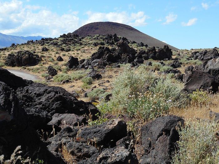
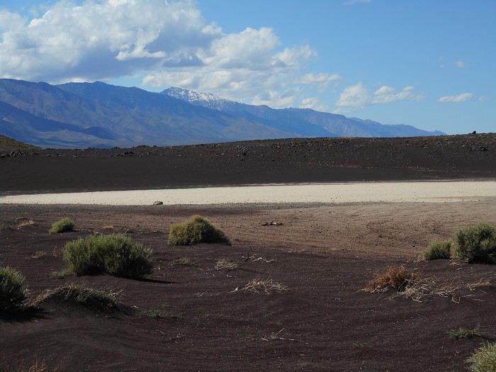
My next stop is the "Fossil Falls" site. You need to take a dirt road east of US-395 called "Cinder Cone Road," which (as the name suggests) passes near a cinder cone.


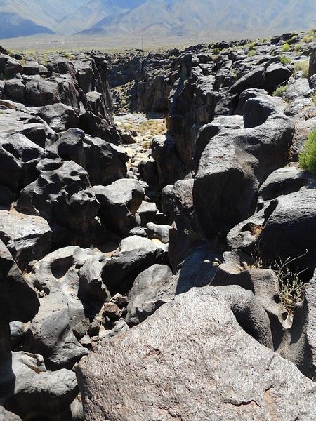
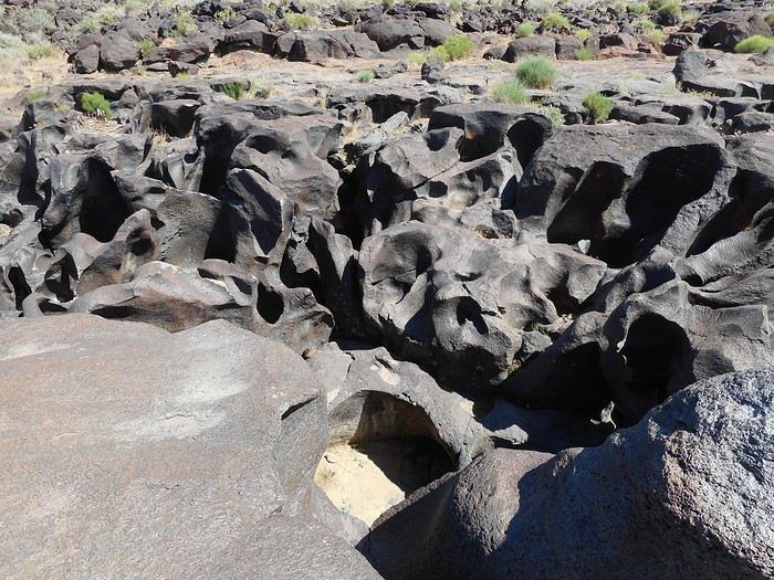
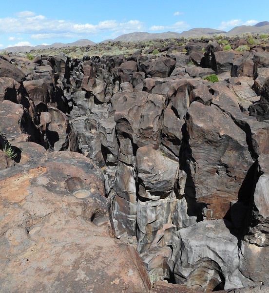
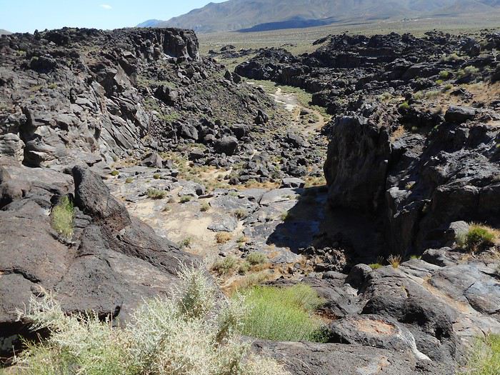
Then follow the "Fossil Falls" sign to reach the parking lot and take a short hike. These are dry falls carved into basalt from volcanic flows and the action of water during the Ice Age. The water carved its way through the basalt flows.


Not far away is "Little Lake." I don’t remember exactly how to get there from "Fossil Falls," but it’s a short distance (a few kilometers, dirt roads).


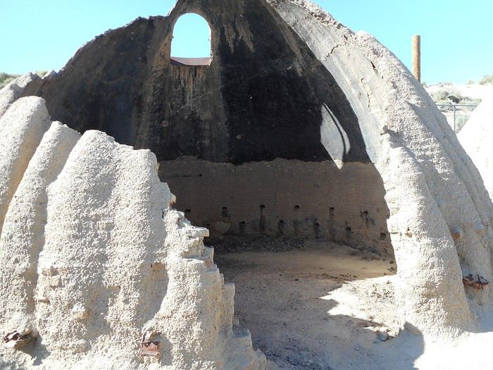
Next, I head to "Cottonwood Creek Charcoal Kilns." The site is 13 miles south of Lone Pine, on a dirt track toward "Owens Lake" (dried up). Before reaching the lake, there are two kilns. They were used to make charcoal for processing ore mined at Cerro Gordo, a ghost town on the other side of the lake in the mountains. I think they’re slowly deteriorating (no protection).


Night at "Portagee Joe Campground" (Lone Pine).
Valmichel86
VA Valmichel86 Regular ·
Day 6: Saturday, May 18, 2019 (Lone Pine-Panamint Springs)

Route.


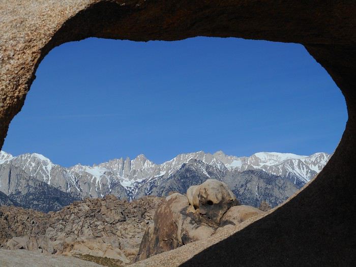
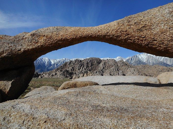
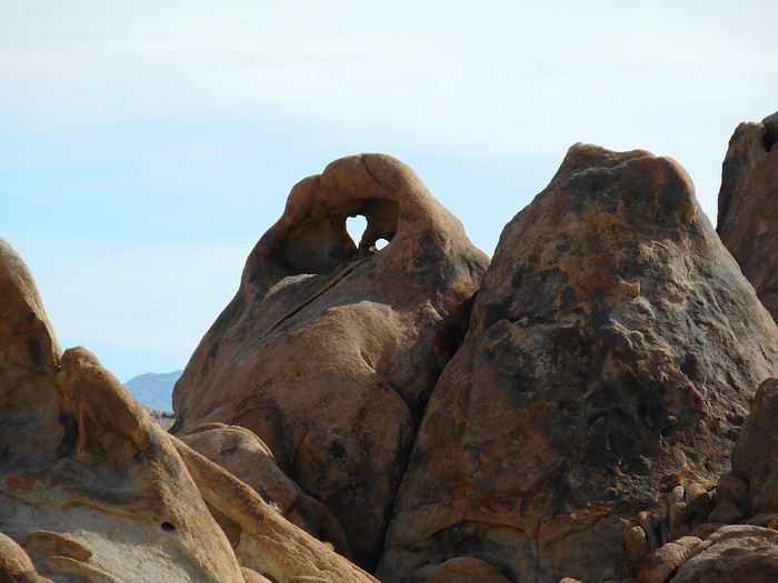
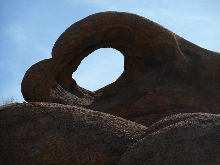
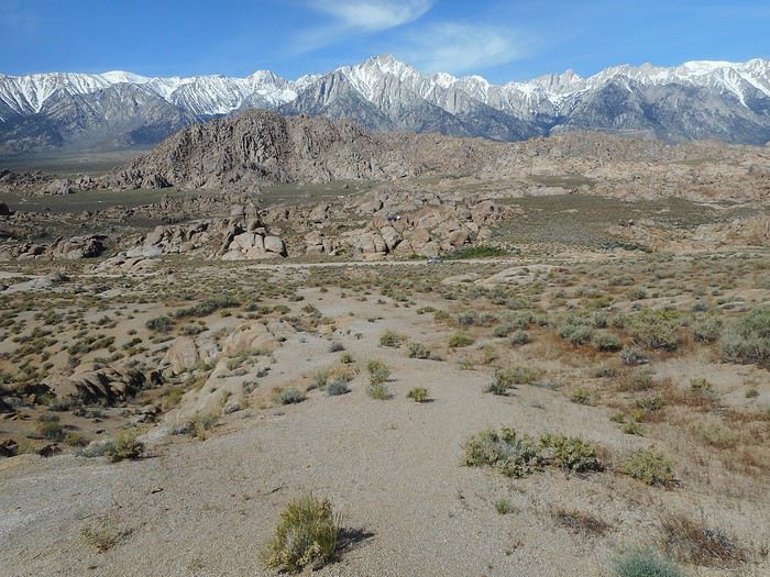
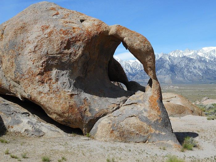
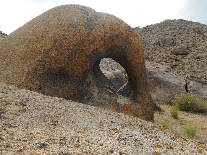
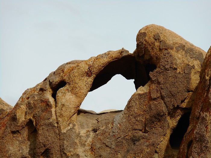
I’ll spend most of the day in the "Alabama Hills," a group of hills located 3 km west of Lone Pine (toward the Sierra Nevada). It’s a very rocky area with a somewhat desert-like appearance, where the rock is granite. It’s managed by the BLM (Bureau of Land Management) and is free to access. You can find: 1- Arches 2- Rocks with strange shapes (fish, jaguar, Batman, etc.) 3- Western movie filming locations. Lone Pine was a "Hollywood annex," and hundreds of outdoor scenes were shot here. There’s a film history museum in the center of Lone Pine. Depending on your interests, you choose what to look for. For me, it’ll be hunting for arches. Apart from the trail called "Arch Trail Walk," to avoid searching randomly, it’s best to have a detailed map and/or GPS coordinates. I have a hiking GPS without a USA base map (I didn’t buy one because I’m not sure I’ll return). For GPS coordinates, I’d like to thank "Marati" and others on this forum. I also used a site associated with "Isabel Synnatschke" and one linked to "National Geographic ushikes." . So, via "Movie Road," I head to the "Arch Trail Walk" parking lot. From here, a loop trail starts (no risk of getting lost) that leads to the most famous arch, "Moebius Arch."

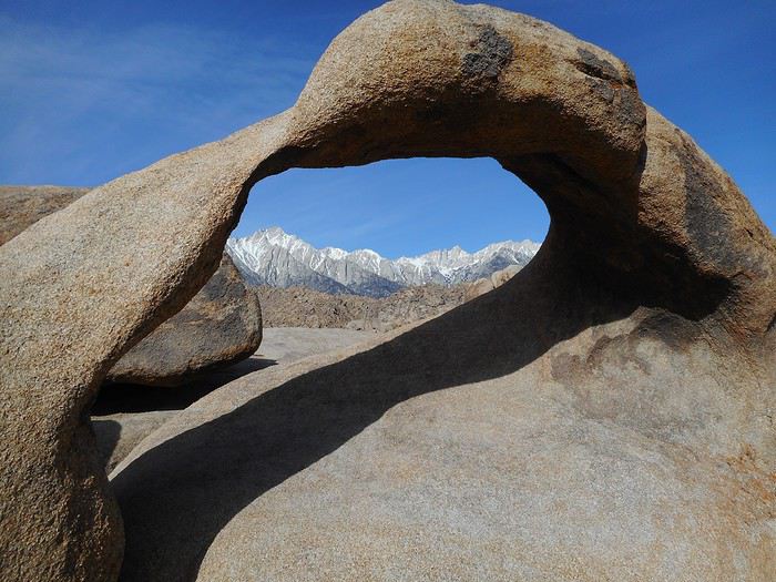
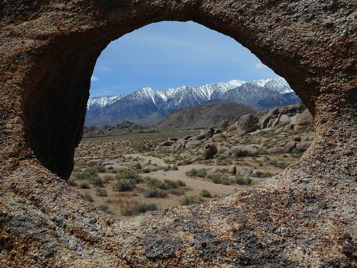
"Moebius Arch" facing the Sierra Nevada.


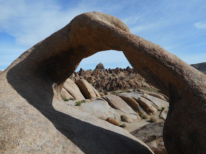
"Moebius Arch" with the Sierra Nevada behind.


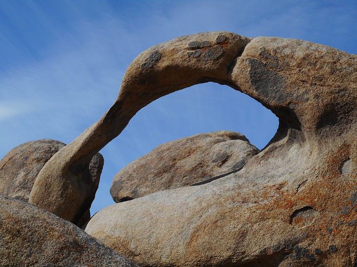
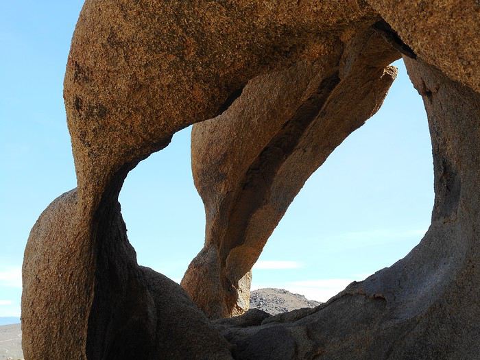
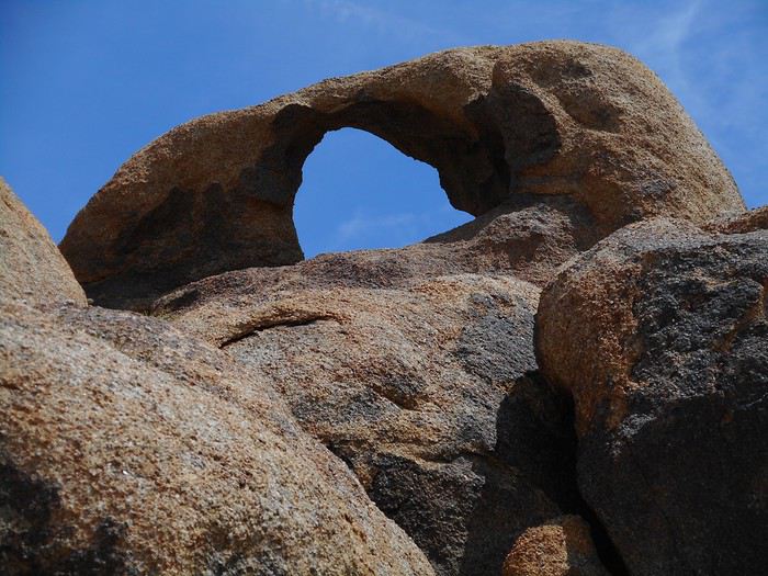
"Moebius Arch" facing the sky.


I chat with two Americans who turn out to be able to identify "Mount Whitney" (the highest point in the USA outside Alaska, located in the Sierra; 4,421 meters high).

"Moebius Arch" with "Mount Whitney," the peak just left of the photo’s center.


Very close to "Moebius Arch" is "Lathe Arch," harder to find because it’s very low (photo taken almost lying down).

"Lathe Arch."


On the loop before returning to the parking lot, "Heart Arch."


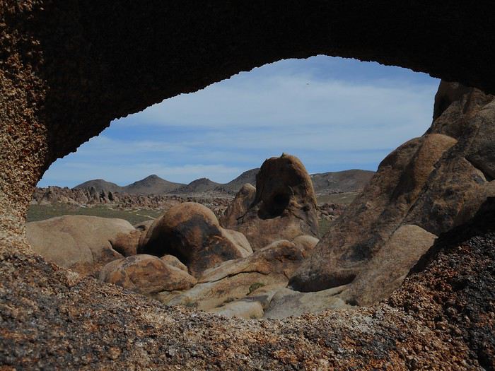
I drive back along "Movie Road." Maybe 1 km farther, on the right side of the track, uphill: "Eye of Alabama."


And a slightly wider view of the site (which is actually much larger).


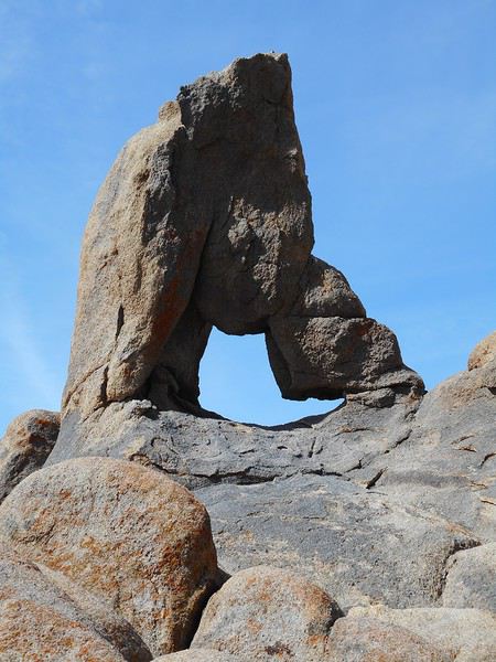
Continuing north on the track for about 3 km, you reach an area with two more arches. "Boot Arch."


"Cyclop's Skull Arch" (from two different angles).


"One Mile Arch" is located very close to "Movie Road," on the stretch between "Whitney Portal Road" and the "Arch Trail Walk" parking lot.


The next two are called:

"Hitching Post Arch"


and

"Taco Bell Arch."


While the other arches can be found with a map, these last two, in my opinion, require a GPS.

I have a picnic on-site (it’s well past lunchtime). The weather is beautiful, but the temperature hasn’t risen since this morning because a cold wind has picked up and become very strong.

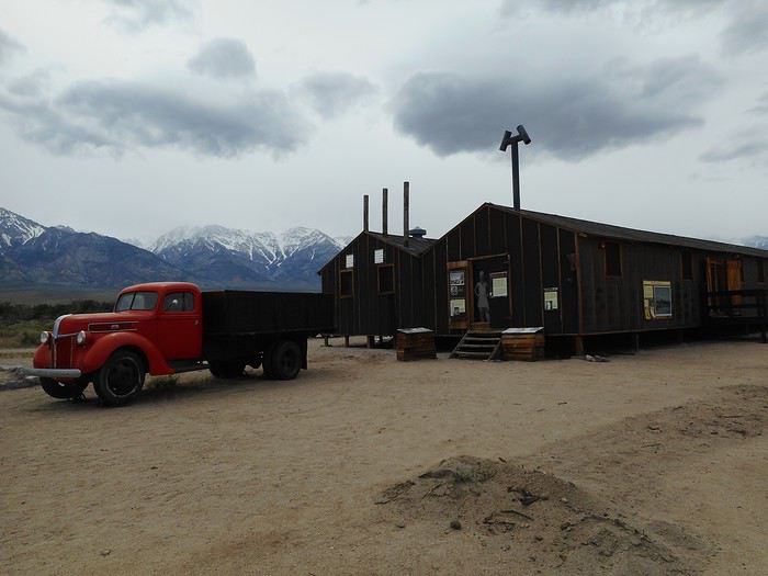
Next, I head to the Manzanar internment camp, located between Lone Pine and Independence. After the attack on Pearl Harbor, Americans interned Japanese living in the USA, as well as American citizens of Japanese descent. Manzanar was one of the internment camps and held up to 11,000 prisoners. Today, it’s a "National Historic Site." You can visit a "Visitor Center" and see replicas of barracks with exhibits about the prisoners, their life in the camp, and this dark chapter of American history.


I return to the "Alabama Hills" to look for more arches in different areas than this morning. It’s an activity that requires time, which I don’t really have left. So, I won’t see "Whitney Portal Arch" (gave up right at the parking lot—too far). I’ll see three other arches near "Horseshoe Meadows Road," then "Tuttle Creek Road," and miss a fourth one.

"Palette Arch."


"Gunga Arch."


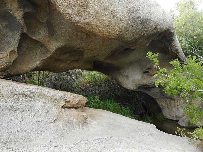
"Tuttle Creek Arch" near a stream on private land, nothing like the arid landscape of the rest of the site.


I do some shopping and head toward "Panamint Valley." The road climbs, and I reach a viewpoint called "Father Crawley Vista Point."


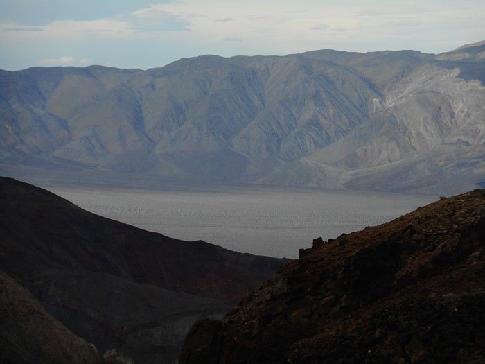
You overlook "Panamint Valley" (470 meters elevation) from about 1,000 meters up. At this spot, it’s part of "Death Valley National Park." I drive down almost to the bottom and stop at "Panamint Springs," where there’s a campground. The temperature, with the drop in elevation and no wind, has become very pleasant. The ground is too hard to pitch the tent easily, so I’ll use the car as a backup.
Valmichel86
VA Valmichel86 Regular ·
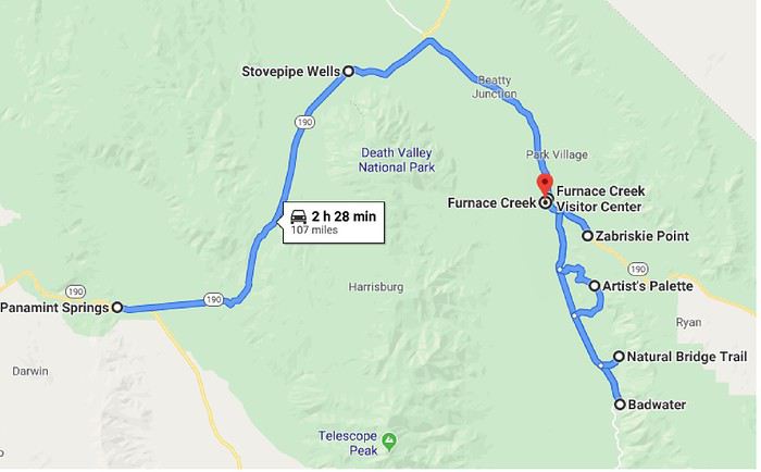
Day 7: Sunday, May 19, 2019 (Panamint Springs-Furnace Creek)

Route.


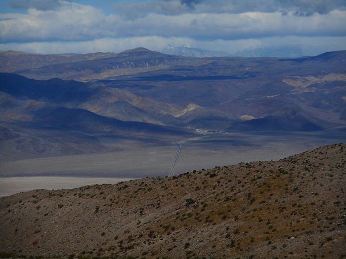
It’s a "Death Valley" day; I’ll be keeping an eye on the thermometer because I expect it to be hot, but that won’t really be the case. Departure at 16°C; the road crosses "Panamint Valley" and starts to climb. View looking back at "Panamint Valley."


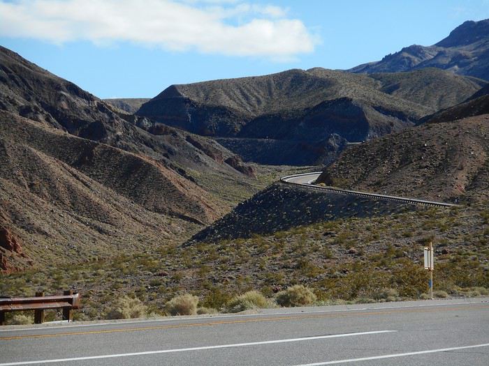
A little further on, a view ahead toward the pass.


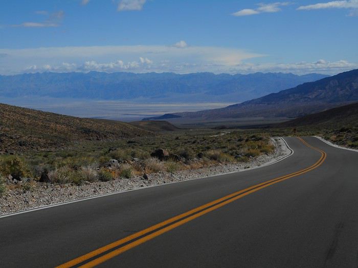
At the pass (about 1,500 meters in altitude), it’s 7°C and a very strong wind is blowing; it won’t let up all day. The descent toward "Death Valley" is quite long.


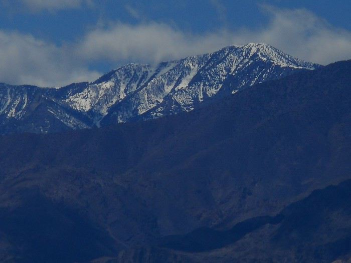
Without stopping at "Stovepipe Wells," I head straight to the "Visitor Center" at "Furnace Creek" to get some info; it’s 27°C, and the temperature won’t rise much more (max of 29°C). I decide to start with "Badwater"; on the way, I take a quick look at the mountains towering over "Death Valley": "Telescope Peak" at over 3,300 meters in altitude (after some hesitation, I’m now pretty sure of my identification).


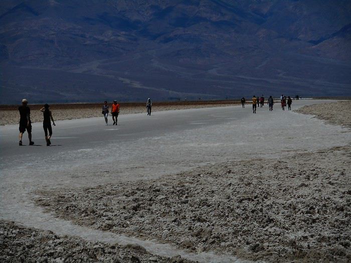
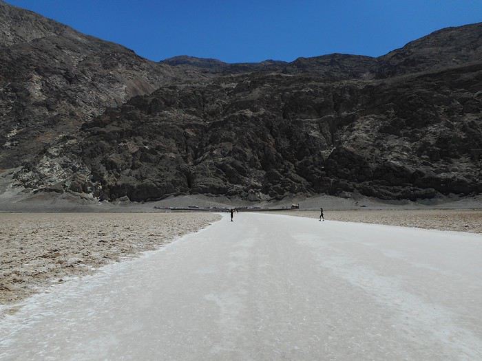
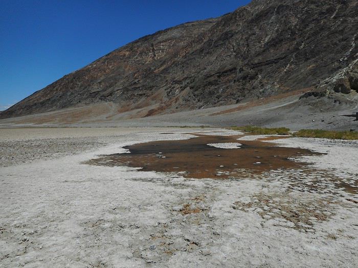
At "Badwater," the lowest point in "Death Valley" (-86 meters) and even in North America, once parked, I head out onto this vast salt flat that shimmers.


Long before reaching the end, which seems to recede with the reflections, I’ve already walked quite a distance from the parking lot.


The reflections are the hallmark of this area and create strange effects.


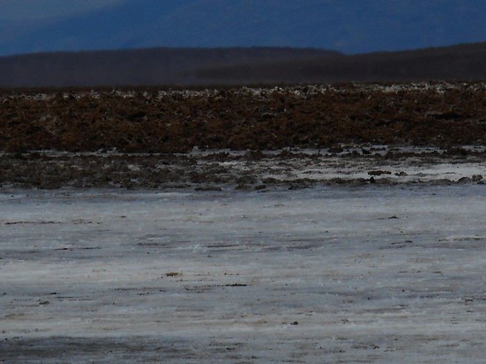
I return near the parking lot and check out a small lake between the salt deposits.


In May, it’s definitely a small lake: there’s water. I read on an info sign that it’s permanent, though I still have my doubts.

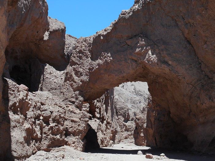
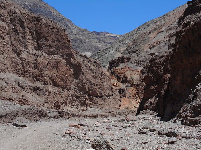
I head back north to do the "Natural Bridge Trail" hike. It’s an out-and-back trail, not too long, that involves hiking up a canyon.


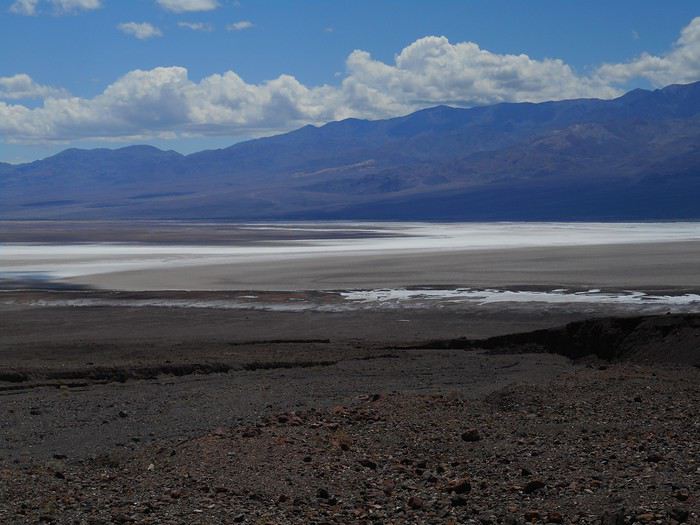
From the parking lot for this hike, you get an impressive view of the reflections in the "Badwater" area.


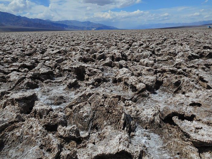
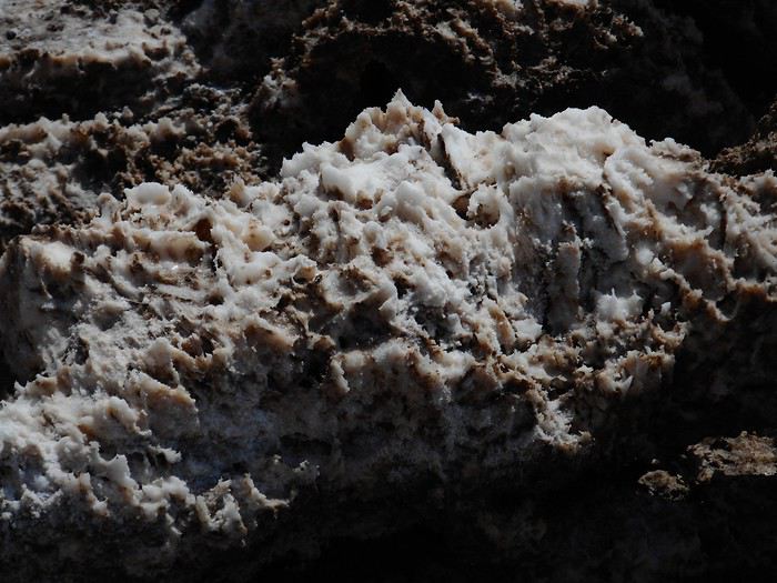
I continue back toward "Furnace Creek," and the next stop is "Devil's Golf Course," a classic. Just a few steps from the car, you’re on the "Golf Course"; it’s nicknamed that because only the devil could play golf on such terrain.


It’s a chance to get a close-up of the salt mounds.


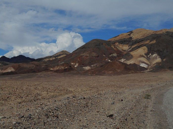
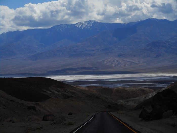
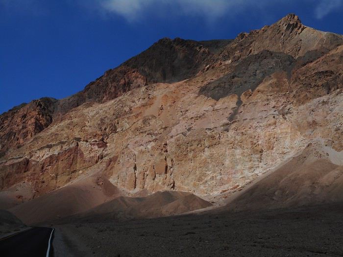
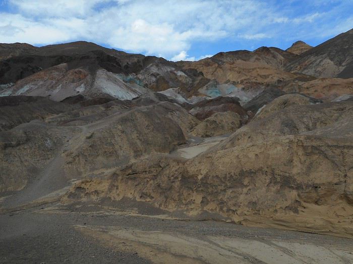
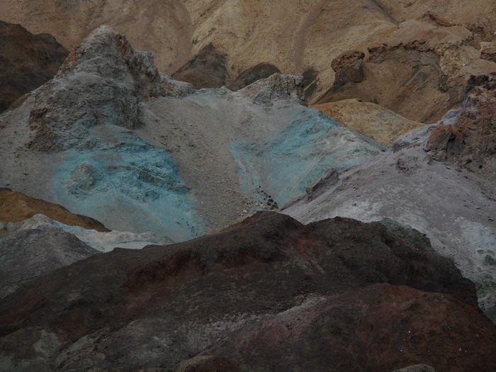
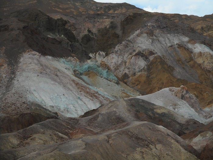
Another Death Valley classic is taking "Artists Palette Drive," a one-way road that winds along the side of the "Amargosa Range." It rises above the valley floor;


I get another view of the reflections and "mirages" in the "Badwater" area.


The wind has become so strong that it’s hard to walk against it, and you have to be careful not to get blown away by the gusts (I’d say it’s blowing around 80 km/h). That’s how it is at all the stops along "Artists Palette Drive."


I then head to "Furnace Creek" to check out the camping options; only "Sunset Campground" is open, though "campground" isn’t quite the right word—it’s a huge parking lot with the ground being Death Valley dirt, covered with a layer of gravel. With the wind, there’s no way I’m setting up a tent and leaving it there for the rest of the afternoon.

To be continued in the next post.
Valmichel86
JU Ju45 Regular ·
Hi Michel,

Back on the forum, I’m enjoying following your travel journal. After the one in Oregon, which confirmed my desire to explore that state and cheat a little on the Southwest—it pulls us in like a magnet. I love the photos, the historical details, and the "slow" (your words) and contemplative pace, so different from mine. Keep up the good work with the rest of the writing!

Julien
USA 2015 https://voyageforum.com/v.f?post=7251701;#7251701 USA 2017 https://voyageforum.com/v.f?post=8274541;live=1;#8274541 USA 2019 https://voyageforum.com/discussion/hiking-in-arizona-just-arizona-mars-2019-d9876344/
VA Valmichel86 Regular ·
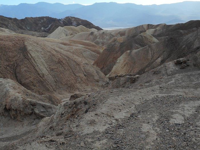
Day 7: Sunday, May 19 (continued) I’m heading to "Zabriskie Point"; once I arrive at the parking lot, I temporarily skip the climb to the viewpoint itself and take the trail to the right for the hike called "Badlands Loop." It descends into an area with quite rugged terrain, completely devoid of vegetation (badlands, after all!) and the wind almost completely dies down in this maze of small valleys and ravines.


The trail markers are more than enough to avoid getting lost. You just have to let yourself go, look around... and pay attention to the changing light, as the sun is quite fickle in this late afternoon, often present but sometimes hidden by clouds.


Back at the parking lot, I head up to "Zabriskie Point."


The crowd at "Zabriskie Point" is around fifty people. For the "Badlands Loop," after passing two hikers early on who were heading back up toward the parking lot, I didn’t run into anyone else—I had the entire site to myself. You should plan for about 1.5 to 2 hours for this hike, taking the time to enjoy the scenery (I don’t know exactly how long I took). There’s some elevation change, but without the heat like today, it’s an easy hike and, most importantly, it’s one you won’t forget!

I return to "Sunset Campground." The weather is going to be cloudy until nightfall. The wind isn’t as strong as earlier, but it’s still very gusty. The ground is too hard to try pitching the tent in this wind (like yesterday, I’ll have to use the backup plan). There are very few people in this large parking lot, and those who set up tents used their cars as windbreaks. Some motorcyclists, who don’t have an alternative, are struggling; they’ll have to take shelter behind a building to manage setting up their tents.

Thanks to all the readers of this travel journal, whether you sent a message or not. Happy holidays to everyone. This travel journal is on pause and will resume in 2020.
Valmichel86
MA Marati Globetrotter ·
Hey Michel, Badlands Loop is a treat around every bend. Like you said, it's an easy hike (as long as you watch the °C) and one you won't forget!! Thanks Michel for this travel journal and hope you have great holidays too!
VA Valmichel86 Regular ·
Thanks Guillaume, if I remember your travel journal correctly, you combined Golden Canyon, Badlands Loop, and Gower Gulch into one hike. I’ve split them into two: Golden Canyon and Gower Gulch will be for tomorrow.
Valmichel86
MA Marati Globetrotter ·
Yeah, exactly. 😉
MA Masterpo Globetrotter ·
Thanks to all the readers of this travel journal, whether they sent a message or not.

Well, there you go, I finally sent one. And thanks to you instead. We’ll just wait for 2020 to roll around easy...
VA Valmichel86 Regular ·
Day 8: Monday, May 20 (Furnace Creek - Lathrop Wells)

Route


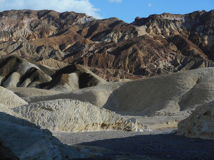
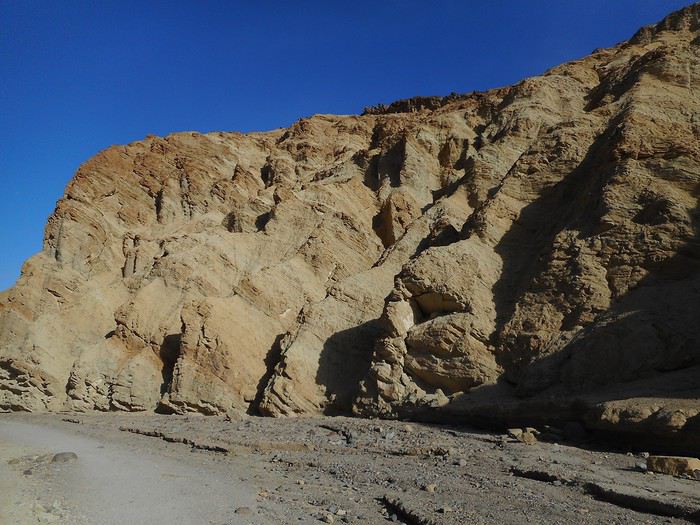
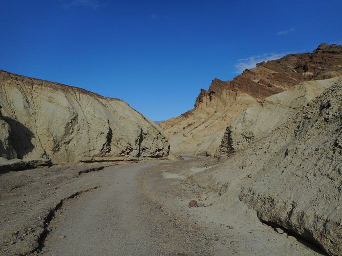
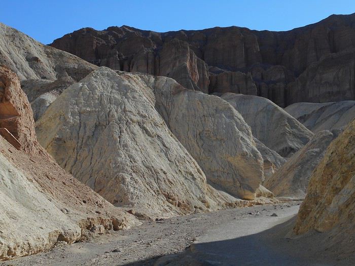
This morning it's cool, the wind has calmed down a lot during the night, and the sky is gray (with a few drops) except to the south where some blue is already visible. I'm going for a loop hike starting from the "Golden Canyon" parking lot a few kilometers south of "Furnace Creek." I set off at 7:30 AM (temperature 18°C); the trail heads into "Golden Canyon," and the clouds disappear during the first fifteen minutes of walking, giving way to a completely blue sky. The landscape lives up to the name "Golden Canyon."


If you ignore the upper parts, which are redder or browner. As I continue up the canyon, a wall appears on the left, "Red Cathedral," toward which a round-trip trail branches off from the main path.


I head toward this wall; a quick look back;


the trail narrows, starts to climb, and ends at the foot of "Red Cathedral."


Once back on the main "Golden Canyon" trail, I continue along a rugged section that leads into an area near yesterday’s hike, "Badlands Loop" (there’s even a shared section of trail between the two hikes).


The second part of the hike, called "Gower Gulch," involves descending this ravine


until it opens into the valley, onto a terrace near "Badwater Road."


There’s still a good kilometer left on the terrace to return to the starting point. It’s 10:30 AM (I took 3 hours); the sun is beating down hard even though the temperature is still mild (25°C).

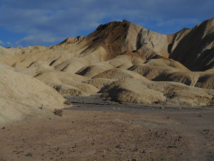
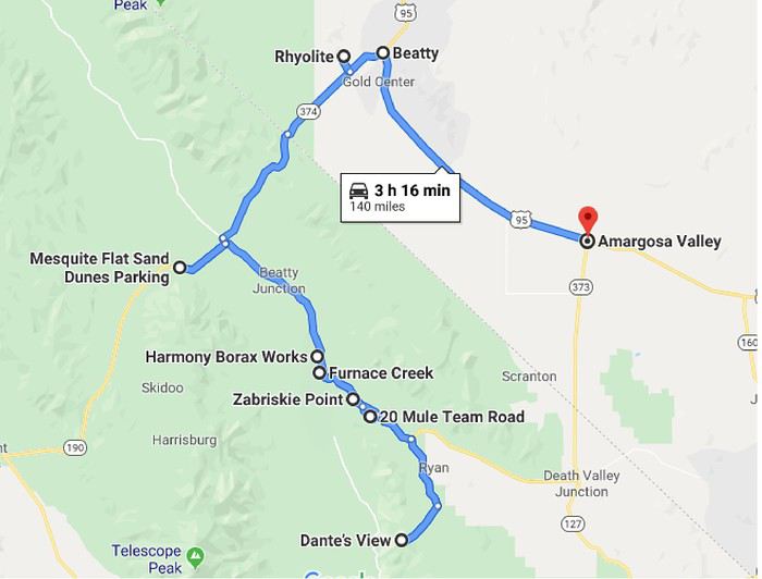
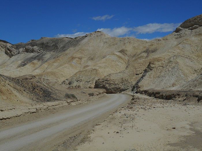
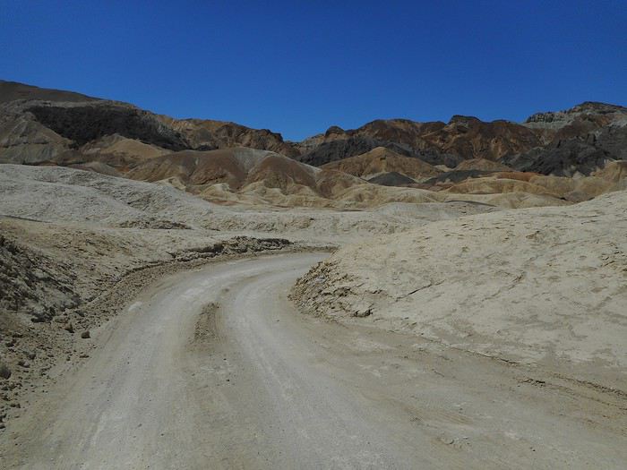
By car, I head back toward "Furnace Creek," take a right onto Highway 190 to go to "Dante's View." I’ll make a detour via a dirt road ("Twenty Mule Team Drive") that branches off to the right and rejoins the same Highway 190 a few kilometers later. The colors remind me of "Golden Canyon," which I walked through 3 hours earlier.


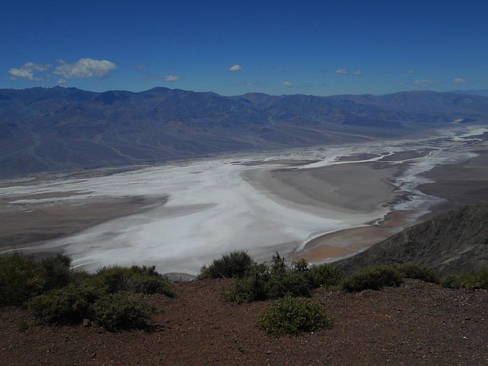
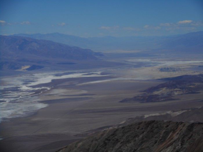
Further on, the road to "Dante's View" turns right and continues its climb; the last few kilometers are quite steep, and I arrive at a viewpoint overlooking all of "Death Valley." This viewpoint is right above "Badwater," with a 1,700-meter elevation difference between the two (which explains the 12°C at this late morning hour). I’m impressed by - the visual effects from the salt deposits - the hazy appearance of the distant landscapes (to the north, those distant landscapes are really far away—maybe 100 km as the crow flies to reach the base of the mountains in the background on the second photo).


The rest of the day in the next post.
Valmichel86
MA Malamille Regular ·
Hi there, jumping in on the trip and thanks for the discovery of the Alabama Hills arches—I’d completely missed them during my two trips through that area.
http://gilchame.20minutes-blogs.fr
VA Valmichel86 Regular ·
Hi there, thanks for your interest in this travel journal. I’ll keep writing at my own pace, which is going to be even slower since I’ll have very limited daily internet access where I’m headed.
Valmichel86
VA Valmichel86 Regular ·
Day 8: continued

After the picnic, I head back down with everything I’d carried up and stop at the "Zabriskie Point" parking lot. Once at the viewpoint, there are quite a few tourists, all taking the same photos.


In this last photo, I can see the upstream part of the ravine called "Gower Gulch," which I hiked yesterday afternoon. The downstream section, all the way to the valley floor, was part of this morning’s hike.

I hit the road again, pass through "Furnace Creek," and shortly after, turn left to head to the "Harmony Borax Works." This is where borax ore, collected from the surrounding area, was processed from 1883 to 1888. At the time, borax was used in soap-making and as a flux in the glass industry. It was processed on-site (dissolved and then crystallized) to separate it from its gangue and reduce the weight to be transported. Following the interpretive trail, I can see the ruins of the processing facilities and parts of a convoy.


It’s the hottest part of the day (around 32°C). Before reaching "Stovepipe Wells," I make another stop at "Salt Creek," accessible via a dirt road to the left, roughly at the spot marked "Beatty Junction" on the map. It’s a saltwater stream (salt content roughly equal to seawater), not permanent, but since spring 2019 has been wet (and it’s not over yet!), there’s water all along the boardwalk (from a few centimeters to 30 centimeters deep).


People who come here hope to spot the "Salt Creek Pupfish," aka "Cyprinodon Salinus," a freshwater fish that lives in saltwater... when there is any. When there isn’t, it seems they retreat to "pools" beneath the ground, moist enough for the pupfish to take shelter and survive. Today, the "Salt Creek Pupfish" are out in fairly large numbers.


The last walk of the day is in the "Mesquite Flat Sand Dunes," dunes near "Stovepipe Wells"—a short hour-long stroll. It’s free exploration in a vast space, and as soon as I move away from the parking lot, only a few people are visible.


The photos remind me of a comment made on-site: these dunes are surrounded by mountains, and those mountains appear in the background of almost every possible shot in this area. I leave Death Valley via Route 374 toward Beatty; it crosses the "Amargosa Range." Goodbye, "Death Valley."


Hello, Nevada.


I take a detour to visit the ghost town of "Rhyolite," just before Beatty.


A few structures are still standing (nothing unforgettable), but what’s surprising is that these aren’t wooden shacks, which are rare around here. If you look closely, the facade’s facing is stone, but everything else is concrete (including a reinforced concrete beam). Yep, I’m brushing up on my history of techniques! Reinforced concrete isn’t a 20th-century invention (which is what I thought), but rather from the second half of the 19th century (around 1880). Its use spread quickly, and you can find concrete deep in Nevada by 1906!

Bad news in Beatty: camping options are limited (which I knew), and everything’s full (I didn’t expect that, since I’d only seen crowds at "Zabriskie Point" today). So I head toward Las Vegas via US-95. The day ends once again with the backup plan (sleeping in the car with the seat folded down) at a large rest area in "Lathrop Wells" (US-95 and Route 373 intersection). Luckily for what’s ahead, this is the last time I won’t be able to pitch the tent.
Valmichel86
SW Swimmer Veteran ·
Hi Michel,

I’ll keep writing at my own pace, which will be even slower since I’ll have very limited daily internet access where I’m going.

The pace works for me—I’m really enjoying your travel journal as I read through it.

Looking forward to the next update...😇
Pascal
VA Valmichel86 Regular ·
Day 9: Tuesday, May 21 (Lathrop Wells - Las Vegas)

Route


I’ll spend this day, which takes me to Las Vegas, visiting "Red Rock Canyon National Conservation Area." I drive along US-95 ("Charleston Peak" on the right is snow-covered), reach the outskirts of Las Vegas, take a kind of ring road that crosses the northwest and west neighborhoods of the city, then take Route 159 west toward "Red Rock Canyon" (about 15-20 miles from Las Vegas). A one-way road (Scenic Loop Drive) passes by the main points of interest in the park; the first one on this road is the "Visitor Center," where a few animals that aren’t likely to run away have been placed.


From this spot, I also have a general view of the area called "Calico I and II."


I leave with two hiking tips from the ranger. As soon as I set off again, I stop at the "Calico I and II" sites; these are sandstone cliffs with a striking contrast between white and red sandstone.


A few miles further, at a place called "Sandstone Quarry," is the start of the "Calico Tanks" hike. The area is relatively flat compared to the rest of the park.


The valley the trail leads into quickly becomes narrower, and the path gets rougher.


The last part passes near a water reservoir


and ends at a set of platforms


offering a viewpoint over Las Vegas.


I notice that Las Vegas isn’t a city built upward at all—instead, it’s a very spread-out city built on flat land. Aside from the line of hotel-casinos along the "Strip" (right side of the photo), there are at most a dozen tall buildings in the rest of the city. I head back along the same trail. The day is sunny but very windy, even extremely windy and cold, with temperatures ranging from 54 to 59°F.

The second recommended hike (further along Scenic Loop Drive) is called "Keystone Thrust." It’s located at a fault ("Keystone Thrust Fault"), where the Pacific Plate passes under the North American Plate (a "subduction" phenomenon that began 65 million years ago). Specifically, red Jurassic rocks (sandstone) pass under older white limestone. That’s the theoretical context based on my memories and the documentation I found. On-site, the trail climbs through the steppe, reaches a high point, descends slightly, and arrives at a dominant position, with the "interesting" area far below. From what I recall, there are no precise directional signs to guide you to spots with better views, nor any explanatory panels linking the theoretical context to the terrain. The place is famous, though, because it’s supposedly the only spot in the world where you can have one foot on one tectonic plate and the other on a different plate—normally, plates only "touch" like this underground, never on the surface. I still think I managed to find the spot where the red sandstone passes under the white limestone.


Without any explanations, the hike is disappointing for someone like me who doesn’t have much field experience in geology. I finish the loop (Scenic Loop Drive), take a photo of the entire site,


and take Route 159 toward Las Vegas. Staying at Hostel Cat, a youth hostel. Exhausted from three consecutive nights sleeping in the car, I’ll save "Fremont Street Experience" for tomorrow night.
Valmichel86
VA Valmichel86 Regular ·
Day 10: Wednesday, May 22 (Las Vegas)

In the morning, I visit "Fremont Street" and the surrounding streets in downtown. The only thing I really remember from this trip is the "cover" of "Fremont Street," which is used for the permanent evening show. Today, I get around by bus with a daily pass—super handy for all the trips around town. I do a bit of shopping. The hotel-casinos along "Las Vegas Boulevard" (the "Strip") will take up the afternoon. The "Strip" with the "Casino Royale," the "Palazzo," and, in the background, the "Wynn" building.


Just across the "Strip," "The Mirage."


From this spot, I stroll along the "Strip" (from north to south), pass by and then enter "Caesars Palace."


You can apparently go from "Caesars Palace" to its neighbor, the "Bellagio," through a series of covered, semi-covered, or open-air terraces, because I end up in the "Bellagio" without even feeling like I crossed "Flamingo Road," which separates the two hotel-casinos. Inside the "Bellagio," I notice the hotel lobby with its ceiling,


and the indoor garden.


In one of the two hotel-casinos (I can’t remember which), I watched a roulette table in action. There were 7 players (all women), but about 15 people around the table since some players were accompanied by one or two people—the duo or trio consulting each other on their bets. I expected way more players around a table. The game (already in progress when I arrived) ended really quickly: after 10 minutes, all the players were cleaned out.

I get a little lost in the "Bellagio." Apparently, that’s not surprising since things are designed to keep the public inside the hotel-casinos as long as possible. So, they don’t make it too obvious how to get out... and they really stick to that principle. Shops, the conference center, etc., are all much better signposted than the exits. Since I’d already passed through the hotel lobby (photo above), I didn’t have too much trouble finding my way back and heading outside to the small plaza that leads to it from the street. You’re now facing the "Paris Las Vegas," located on the other side of the "Strip."


I wait for the next fountain show at the "Bellagio," with the "Flamingo" in the background.


I then cross the avenue to see the flamingos at the "Flamingo,"


and a few other hotel-casinos on this side of the "Strip." To finish up, I take a short bus ride and end up near the "Mandalay Bay," at the southern end of the boulevard.


The whole day was windy and chilly (around 17°C). By nightfall, the wind dies down, and the temperature rises by 3–4°C, which is welcome for checking out the "Fremont Experience" in the evening.


I’m not sure if the show tells a specific story, but the use of the street cover really grabs your attention (there’s some tech involved). The street itself is lively (I’m talking about the street, not the shops, casinos, or restaurants lining it) with musicians, mini-shows, vendors, etc., and a pretty dense crowd. Whatever they’ve set up here in downtown seems to be "working well."
Valmichel86
DI Diamina Globetrotter ·
Hey Michel,

Your Alabama Hills section makes me regret not including this spot in my upcoming road trip. Marati had already piqued my interest with her travel journal, but you’ve really driven the point home with all those arches. Thanks for the photos.

We’ll be in Death Valley soon, so your story gives me new perspectives on a park I’ve already visited in winter. Like in Marati’s journal, I’m drawn to the hikes we didn’t do last time.

I’ll make sure to explore more thoroughly this time, staying for 2 days like you did. Your photo of the Bellagio makes me want to go there. When we passed by, the decor wasn’t the same. I’ll make the effort to check it out and especially enjoy the buffet restaurant, which is top-notch.

So, thanks for your story and all the useful details!

Happy New Year too! 😄
Nord Chili, NOA, Sud Lipez, La Paz août 2012 https://voyageforum.com/forum/mois_dans_andes_peripeties_en_altitude_D5526293/ Apologie du southwest en hiver https://voyageforum.com/forum/apologie_sud-ouest_etats-unis_en_hiver_D5851267/ Impressions d'Afrique et de Namibie
DI Diamina Globetrotter ·
If I remember your travel journal correctly, you did Golden Canyon, Badlands Loop, and Gower Gulch all in the same hike. I split it into two: Golden Canyon and Gower Gulch will be for tomorrow.

That’s an interesting idea, splitting that fearless Marati’s hike into two... Makes it more doable... 🤪

Since you went in May, you mentioned the wind and the cool temps—sounds like you should try winter!! 🤪 Seven years ago, I nearly blew right off a cliff getting out of the car because of the wind. 😏
Nord Chili, NOA, Sud Lipez, La Paz août 2012 https://voyageforum.com/forum/mois_dans_andes_peripeties_en_altitude_D5526293/ Apologie du southwest en hiver https://voyageforum.com/forum/apologie_sud-ouest_etats-unis_en_hiver_D5851267/ Impressions d'Afrique et de Namibie
VA Valmichel86 Regular ·
Hi Diamina, I had some unusual weather last May-June: abnormally cool and wet, except for the end of the trip. Hikes where heat is usually an obstacle were much easier, but I also had to cancel some due to rain (more in the travel journal). Have a great trip since you're leaving soon.
Valmichel86
VA Valmichel86 Regular ·
Day 11: Thursday, May 23 (Las Vegas - Valley of Fire)

Route


But how did Las Vegas begin? I’m about to find out at the "Old Las Vegas Mormon Fort" near downtown. In 1855, Mormon missionaries settled near a creek and built a structure: a rectangular fort, part of whose walls have been reconstructed (it’s the first permanent non-native settlement). They left in 1857.


Starting in 1865, the site was repurposed to build a ranch. A first attempt failed, but a second succeeded—this one by a man named Stewart. His widow, "Helen Stewart" (photo below), sold part of the land to a railroad company in 1902: Las Vegas was born!


The "Visitor Center" showcases, with photos, the development of Las Vegas from its origins.

Next, I head to "Spring Mountain Ranch," located 25 km southwest of Las Vegas.

Then, a traffic-related incident happens. On "Charleston Avenue," I get in the left lane to go under Interstate 15 (I-15) and then access it heading south by turning left. Due to inattention, I end up in a lane that turns left *before* going under the I-15. No way to get back to the right lane and pass under the highway. The road leads toward a construction zone when I spot another lane on the right with three signs: one with "I-15," a second with "Ov 2," and a third with "Only" (coded messages??). Thinking I’d reach the interstate, I take it—the trap is sprung. Traffic is channeled, and I’m forced to keep going. The lane passes underneath between the two parts of the highway (southbound and northbound) and merges onto the Interstate from the left. Meanwhile, I realize—thanks to clearer signs—that "Ov 2" and "Only" mean (in coded language) that this access is reserved for vehicles carrying at least two people, and they’re serious! A $300 fine (I think), with signs like "7 days/week" and/or "24/7." It’s very possible I’m being filmed or photographed since entering this lane, and the worst part is that it might all be true!! The lane merges onto the I-15 from the left but is separated from the 5 or 6 traffic lanes by rumble strips (it’s not a real access). In about 2 miles, it exits the Interstate at the next off-ramp. They must’ve designed all this to improve traffic flow!!! So, I have to commit another infraction: cross the rumble strips, slip into the flow of the left lane, then move to a lane further right. Now, writing in my travel journal, I’m calmer because I haven’t received anything, but in the moment, I was really worried—I never meant to end up in that situation! It was the only traffic issue I had during the whole trip.

At the south exit of Las Vegas, I take Route 160 (toward Pahrump), then Route 159 (toward Blue Diamond) and arrive at "Spring Mountain Ranch," a Nevada state park. This ranch is near "Red Rock Canyon" in an area with springs, so it’s lush and green. It was a working ranch until the 1940s. Later, it was owned by celebrities: actor "Chester Lauck," who built the main house; actress "Vera Krupp," who expanded it; and billionaire "Howard Hughes." I visit the main house (part guided tour, part self-guided)—it feels more like a country estate for actors than a ranch.


After a picnic lunch (cold and windy), I take a short walk (less than a kilometer) on the "North Ash Grove Loop," where you can see some ash trees near the river.

Leaving the ranch, I head back to Las Vegas and take the road to "Valley of Fire State Park" . I arrive at the east entrance and go to the park’s "Visitor Center." The ranger tells me, "If there’s a spot available, you can set up at the campground." The "if" makes total sense when I reach the camping area—there are no free spots, and I’m convinced the ranger knew that perfectly well. I check out what’s in this part of the park, along the "Scenic Loop Road." First, there’s "Atlatl Rock," a boulder covered in petroglyphs.


A little further is "Arch Rock."


Further along the loop is "Piano Rock."


Continuing on the "Scenic Loop Road," I find two more interesting areas: -The "Pagoda Arch" area. I don’t think I found the actual arch, but there are lots of amazing shapes and colors.


-The "Windstone Arch" area (same remarks).


After dinner at the "Atlatl Rock" picnic area, I follow the park’s instructions for when campgrounds are full (in the park, camping is only allowed in designated sites). I exit through the west entrance, drive about 3 km (still within the park), then the road surface changes—I enter BLM (Bureau of Land Management) land, where you can camp anywhere in the sagebrush steppe.
Valmichel86
VA Valmichel86 Regular ·
Day 12: Friday, May 24 (Valley of Fire)

After breakfast, I head back to "Atlatl Rock Campground"; I’m taking one of the spots that opened up this morning (setting up the tent, shower, planning the day ahead) to stay for two nights. The available spots fill up really quickly, and in my opinion, the campground will be full well before mid-afternoon. I’m not leaving early today since I’m settling in at the campsite. I drive to the turnoff for "White Domes Road" and take it to parking lot P3 (the one for the Seven Wonders hike and "Fire Wave"). The trail starts on the left side of the road, heading south (it’s marked at the beginning but not for long) and begins with a descent into an area scattered with rocks.


I explore the area to find "Crazy Hill." The colorful stripes make this place famous and give it a somewhat surreal look.


I keep searching around and discover "Fire Cave" (shaded in the morning).


A detail of "Fire Cave."


Nearby, here’s "Thunderstorm Arch" (GPS is really helpful for finding these first three sights).


Continuing downhill to the south, I pass by a formation (sugarloaf shape)


then reach "Kaolin Wash," which I follow to where it meets the road. From there, walking back up the road for several dozen meters, I end up next to "Striped Rock."


I cross the road and, continuing through "Kaolin Wash," I enter the area called "Pastel Canyon."


At the exit of "Pastel Canyon," I start climbing to the left toward "The Wave," the most famous formation.


I return to the parking lot via the trail that connects directly to "The Wave." Today’s different from the others—it’s getting really hot by late morning, and there’s no wind.
Valmichel86
VA Valmichel86 Regular ·
Day 12: continued

The next hike (called "White Domes") starts at the end of "White Domes Road" (a dead-end road). I park and follow the crowd since everyone does this hike (a loop) in the same direction when I arrive. The start is at the end of the parking lot with the characteristic rock on the right.


The trail descends steeply, and I reach the lowest point with the same rock, looking back.


The loop continues with a "Slot Canyon."


Then it climbs back up through rock formations.


Local wildlife wanders around toward the end of the trail.


I return to the "Visitor Center," where I eat (very late) and then take the tour since I’d only passed through yesterday. Afterward, I head to Overton (15 km northeast of the park) to do some shopping. Since I don’t have enough time left to visit the local museum ("Lost City Museum"), I skip it and return to the east entrance of the park.

From there, a short hike (right by the road) leads to "Elephant Rock."


The sun, now in the west, gives it pastel hues. The surrounding rocks (here, a west-facing formation) are more classic in color.

Valmichel86
VA Valmichel86 Regular ·
Day 13: Saturday, May 25 (Valley of Fire - Whitney Pocket - Little Finland and back)According to the forecast, today should be less hot than yesterday (high of 28°C), so I decided to head to "Little Finland." Early start and departure. Route.


I pass through Overton, join Interstate 15 (northeast direction), exit at "Riverside"; after turning right past the bridge over the "Virgin River," I take "Gold Butte Road." This road is paved for most of the way, but not everywhere (not really maintained). It first follows the "Virgin River," then climbs, and I see the edge of "Lake Mead" toward "Overton Beach" on the right.


After about thirty kilometers, I arrive at "Whitney Pocket," where there are 4 or 5 RVs parked. From here, getting to "Little Finland" normally requires a "4WD," which I don’t have (budget), but I found a way to get there with a regular sedan by doing an off-trail hike (cross-country hike) from "The American Southwest." I take the track heading south from "Whitney Pocket" and follow it for 3.5 miles (5.6 km), then park at this spot (left-hand turn).


On the map, this is the "2WD parking" (GPS coordinates 36.480N 114.167W). The "4WD parking," located below the "Little Finland" plateau, is in the opposite corner of the map (GPS coordinates 36.448297N 114.215072W). The off-trail hike follows the path that crosses the map diagonally from northeast to southwest. "Little Finland" (also called "Devil's Fire" or "Hobgoblins") corresponds to the shaded area on the map. I set off with the map, a hiking GPS, a compass, and notes I got from the "American Southwest" site for navigation. The landscape shortly after departure.


You need to head southwest, aiming for a low point (a small pass with little elevation change) in the line of hills. When I reach it, I’ve covered 1.6 miles (2.6 km) and this is the view in front of me.


You need to descend the hill and continue west-southwest. On the way there, I make a small mistake (the only one): I don’t take the wash where the trail runs on the map but the one further south (I aimed a bit too far southwest). Keep the ridges on your left. A distinctive isolated rock to pass near about 1 km from "Little Finland" (distance from memory).


As you approach the site, you climb onto the plateau and see the "4WD parking" far below. From the small pass to "Little Finland," it’s 1.9 miles (3 km). The straight-line distance between the two parking spots on my GPS: just under 5 km (from memory). Exploring the plateau (no signs—you have to search randomly).


Some details (or close-ups) let you imagine whatever you want.


A few more intricately carved rocks.


Apparently, it’s mostly the wind that created all these shapes.
Valmichel86
DI Diamina Globetrotter ·
Hey Michel,

Valley of Fire and Little Finland are on the itinerary, so I’m following your trip closely!!!
Nord Chili, NOA, Sud Lipez, La Paz août 2012 https://voyageforum.com/forum/mois_dans_andes_peripeties_en_altitude_D5526293/ Apologie du southwest en hiver https://voyageforum.com/forum/apologie_sud-ouest_etats-unis_en_hiver_D5851267/ Impressions d'Afrique et de Namibie
MA Marati Globetrotter ·
Hello Michel, A great alternative for reaching Little Finland, especially for those who aren’t properly motorized or prefer to play it safe. Thanks—I’ll make sure to save this tip!

Crazy Hill looks fun. It’s definitely more practical to know in advance what to look for, so you’re sure to find it—unlike us . I mean, this park is so packed with colorful, oddly shaped rocks that it’s easy to get mixed up!! We’ll have to go back...
JU Ju45 Regular ·
Hi Michel,

Thanks for the tip about Little Finland—I’ve saved a POI in "Maps.me" for next time, just in case, like Guillaume did. I’m still following your adventures. Your photos are gorgeous, and your tips are always spot-on—such a great read.

Cheers,

Julien
USA 2015 https://voyageforum.com/v.f?post=7251701;#7251701 USA 2017 https://voyageforum.com/v.f?post=8274541;live=1;#8274541 USA 2019 https://voyageforum.com/discussion/hiking-in-arizona-just-arizona-mars-2019-d9876344/
DI Diamina Globetrotter ·
Hey man,

Took you over a month to find this travel journal! 😉 Even I saw it before you, and I'm always late!!! What have you been up to, Doudou?
Nord Chili, NOA, Sud Lipez, La Paz août 2012 https://voyageforum.com/forum/mois_dans_andes_peripeties_en_altitude_D5526293/ Apologie du southwest en hiver https://voyageforum.com/forum/apologie_sud-ouest_etats-unis_en_hiver_D5851267/ Impressions d'Afrique et de Namibie
MA Marati Globetrotter ·
Hey there! LOL!! 😄😏 So you missed the 3rd post in this travel journal, the first one from someone other than the original author... No worries, you must’ve been in such a rush to read—finally not late for once 😛 😏!! Can’t blame you, though, with such a flashy avatar...
DI Diamina Globetrotter ·
So you missed the 3rd post in this travel journal, the first one by someone other than the author...

Uh...🤪 Well, uh...😮 Pfft, a tiny little sentence doesn’t count... right?......😏
Nord Chili, NOA, Sud Lipez, La Paz août 2012 https://voyageforum.com/forum/mois_dans_andes_peripeties_en_altitude_D5526293/ Apologie du southwest en hiver https://voyageforum.com/forum/apologie_sud-ouest_etats-unis_en_hiver_D5851267/ Impressions d'Afrique et de Namibie
BE Bertoni Regular ·
Hello, Thank you for sharing your memories and your beautiful photos in such a great spirit. We don’t hike anymore because we’re a bit too tired, but your journal makes us want to hit the red rocks again. Thanks again for letting us experience this!
brigitte
VA Valmichel86 Regular ·
Day 13: continued

Here are two rocks: they look similar but are different.


Two more among many.


And finally, two others with a different look that I’ll call "honeycombed."


I spent a good hour exploring the area, and I’m not sure I reached the most interesting spots since I had no guidance and the space is vast. I take the path back—no orientation issues. Before climbing up to the small pass in the line of hills, there’s a rock formation that might remind you of parts of Valley of Fire or Red Rock Canyon, or even give a preview of what I’ll see tomorrow.


Summary: I was out for about 5.5 hours, including exploring the area. The hike was 11 km off-trail. The temperature was 22°C at the start and 28°C on the way back, likely around 28–29°C for more than half the hike. I brought 4.2 liters of water and drank 2.7 liters. This hike is doable, but you’ve got to be careful. You should have experience with hikes of this length, in these temperatures, off-trail, and know your limits and how to use navigation tools. It’s not a place for trial and error—there’s no shade, and you probably won’t see anyone all day (that was my case: 2 cars in the "4WD" parking lot, but I didn’t see the occupants on-site). Back at Valley of Fire campground.

Valmichel86
DI Diamina Globetrotter ·
Hey Michel, Gorgeous photos. Thanks, Michel.

I found this YouTube video about Little Finland that shows the different access points.

https://www.youtube.com/watch?v=WUt9Boa6Y8o
Nord Chili, NOA, Sud Lipez, La Paz août 2012 https://voyageforum.com/forum/mois_dans_andes_peripeties_en_altitude_D5526293/ Apologie du southwest en hiver https://voyageforum.com/forum/apologie_sud-ouest_etats-unis_en_hiver_D5851267/ Impressions d'Afrique et de Namibie
CH Cheesecake14 Regular ·
Hello The best route is to take the mud wash road because the track is easier in the wash and shorter. Check the weather before committing. The trail through Devil's Throat is longer and tougher.
DI Diamina Globetrotter ·
Hey Fabrice,

Thanks for the info.
Nord Chili, NOA, Sud Lipez, La Paz août 2012 https://voyageforum.com/forum/mois_dans_andes_peripeties_en_altitude_D5526293/ Apologie du southwest en hiver https://voyageforum.com/forum/apologie_sud-ouest_etats-unis_en_hiver_D5851267/ Impressions d'Afrique et de Namibie
VA Valmichel86 Regular ·
Day 14: Sunday, May 26 (Valley of Fire - Zion National Park)Route.


Before leaving "Valley of Fire," I check out two sights: - cabins made of local stone (sandstone) built by the CCC (Civilian Conservation Corps) in the 1930s to shelter travelers passing through - a large petrified log dating back 225 million years (it’s fossilized wood).


Next up: "Candy Cliffs of Yann Flat." After stopping for groceries in Overton, I hit Interstate 15, skirt around "Saint George," and take exit 22 (Leeds). Right after leaving town, I turn left onto "Silver Reef Road." After 1.2 miles, it changes names to "Oak Grove Road." Half a mile later, it turns into a dirt road marked FR032, then FR031 at a junction a bit farther on. In total, I drive 8.8 miles on this very hilly road (no flat stretches), which is no problem in a sedan, and arrive at a small parking lot (trailhead). View of "Signal Peak" on the other side of the road from the trail leading (2.4 easy kms) to "Yann Flat."


A lot of this snow isn’t from winter—it must’ve fallen much more recently.

The first rock I see when arriving gives an idea of what’s to come.


But just a few dozen meters farther, it gets way more spectacular. I’ve got GPS coordinates for the trailhead and three points corresponding to a southwest sector, a central sector, and an eastern sector, but no coordinates for specific rocks. So I explore each sector randomly, starting with the southwest.


This whole southwest area is steep—"Yann Flat" drops down toward "Cottonwood Creek," which is way below. Plus, the wind is crazy strong—you’ve gotta secure anything that might blow away (hats, etc.). There must be a strong elevation effect because the wind was barely noticeable on the approach trail, which was on a plateau. I move on to the central sector, which is also sloped but not as steep as the southwest.


In the distance, the town of Washington and lakes on the "Virgin River" (according to my notes).


Finally, the eastern sector of the site. A (somewhat) general view.


A three-photo approach to twin rocks that might have a name (they could, since they really stand out in this area).


Three others scattered around this part of the site.


Back to the parking lot after a hike of about 3 hours, most of which was spent on the site. I return to Leeds via the same dirt road. I drive a few miles on the Interstate, then turn right toward Toquerville. Route 9 then leads to "Zion National Park." Just before the park entrance, the town of Springdale—which is really just a small town—lives entirely off tourism. You can see and feel it everywhere. If you removed everything tied to welcoming park visitors, the place would disappear from the map. I haven’t seen anything like it before this trip, and I won’t again later—and that’s fine by me. I much prefer when tourism builds on an existing town or village rather than creating something artificial. When I arrive at the park’s toll booth, I’m directed to the nearby "Watchman Campground," where I’ve reserved a spot for 2 nights (booked back in December 2018).
Valmichel86
DI Diamina Globetrotter ·
Hey there,

Yep, we're following along!!
Nord Chili, NOA, Sud Lipez, La Paz août 2012 https://voyageforum.com/forum/mois_dans_andes_peripeties_en_altitude_D5526293/ Apologie du southwest en hiver https://voyageforum.com/forum/apologie_sud-ouest_etats-unis_en_hiver_D5851267/ Impressions d'Afrique et de Namibie
SW Swimmer Veteran ·
Yep, we're following along!

Same here, I really appreciate Michel's travel journal.
Pascal
VA Valmichel86 Regular ·
Thanks everyone. When I write "to be continued," it means I haven't finished writing up the day yet. That means I'll edit this post once or several times before moving on to the next one.
Valmichel86
VA Valmichel86 Regular ·
Day 15: Monday, May 27 (Zion National Park) A little photo recap of "Watchman Campground" last night when we arrived.


It’s well located just steps from the "Visitor Center", in the lower part of the canyon at the foot of a rock formation that’s probably called (if I’m not mistaken) "Tower of the Virgin." The sky clouded over in the second half of the afternoon, but the weather was still pleasant. That didn’t last long—it started raining a few hours after nightfall and kept going until morning, with only a few breaks. I get up when the rain stops; the temperature is 10°C, and it dropped to 6°C overnight. A stop at the "Visitor Center" tells me more rain is expected today. I decide against planning a long hike and instead try to do the shorter walks at the bottom of the canyon, taking shelter when needed.


The color and flow of the "Virgin River" leave no doubt about last night’s rain. The "Visitor Center" says the water temperature is 4°C. I start by following the "Pa’rus Trail" along the river.


I reach the museum, check it out, and when I come back outside, it’s raining again. I take the shuttle that runs along the road at the bottom of the canyon (vehicles are banned) to the "Court of the Patriarchs" stop.


These three rock formations are named after Abraham, Isaac, and Jacob.

The rain stops, so I take the shuttle to the next stop, "Zion Lodge." I want to do the "The Grotto" hike between the "Zion Lodge" and "The Grotto" stops, but the trail is too muddy for my taste—and especially for my shoes. So I take the shuttle all the way to "The Grotto" stop. The canyon walls in the "Zion Lodge–The Grotto" section.


It’s around noon, the sky is getting overcast (last photo), and it starts drizzling again. I head back to the campground (by shuttle) and stay there until about 3 PM (heavy rain). When the rain lets up, I take the shuttle to the last stop in the canyon, "Temple of Sinawava." A round-trip walk (about 2 km) called "Riverside Walk" leads deeper into the canyon. The trail is paved in some sections and gloriously muddy in others. The rain stops shortly after I start the hike. The canyon narrows between two nearly continuous vertical cliffs.


After finishing the hike, I start the shuttle ride back. The first stop on the way is "Big Bend," where I’m at the bottom of the valley, closest to the endpoint of the park’s signature hike, "Angel’s Landing Trail" (way up there). In the foreground, I photographed the ridge that loops around the "Virgin River."


"Angel’s Landing" is on that ridge, just out of frame to the right, where the ridge rises much higher above the valley floor. The next shuttle stop is "Weeping Rock." A short path leads up to a recess in the cliff. Water trickling down the rocks above drips or cascades in tiny waterfalls outside the railing.


Two shuttle stops later, I’m at "Zion Lodge" and witness a little miracle: the sky clears up fast. I do the "Lower Emerald Pool" hike under the sun. It’s a short round-trip walk that leads to a waterfall you can walk behind (the other hikes in this area—"Upper Emerald Pool" and "Kayenta Trail"—are closed).


Back at the campground. The disappointment at the end of the day messed with my end-of-day photo notes—they’re pretty sparse and sometimes not detailed enough for me to be sure what I photographed.
Valmichel86
MA Marati Globetrotter ·
At Yant Flat, it's too bad you didn't have an app like maps.me that would've let you make it all the way to The Turtle, which was just 1 mile from where you turned back. Such a bummer, Zion in the rain... 😕 Did you sleep in a tent or in the car at Zion (is that allowed in the parks?)? Thanks
DI Diamina Globetrotter ·
I found this site that’s super helpful😏

If you think Zion looks a little gloomy under some mist, I can’t even imagine your face seeing Bryce Canyon under snow!!!😏
Nord Chili, NOA, Sud Lipez, La Paz août 2012 https://voyageforum.com/forum/mois_dans_andes_peripeties_en_altitude_D5526293/ Apologie du southwest en hiver https://voyageforum.com/forum/apologie_sud-ouest_etats-unis_en_hiver_D5851267/ Impressions d'Afrique et de Namibie

Similar discussions

You might also like