Summary:
To explain why I chose to visit Zambia, a quick recap of my three previous trips to Southern Africa might help.
Kenya: Organized trip with a driver-guide, staying in hotels (with the kids, who were young at the time)
Namibia: Self-drive tour alternating between rooftop camping and lodges
Botswana: Camping but with staff handling everything for us
This time, we wanted to manage on our own, but given our old bones, we preferred staying in lodges or equipped tents.
Accommodations:
That worked out really well, despite a few hesitations. We were often alone, so the managers spoiled us rotten. Price-wise, it was nothing like Namibia, for example. We’re really happy with our strategy.
Transportation:
Regarding flights, everything’s been said about Rwandair—it’s an airline to avoid.
For the 4x4, Hemingways (based in Livingstone) was reliable from start to finish and very accommodating.
Zambian roads are terrible. I’m no 4x4 expert, but since we were traveling completely on our own, I took a training course before leaving, and it really helped me get a feel for the driving. I’d made a detailed roadbook using a Tracks 4 Africa map, and my travel-time calculations were spot-on. Generally, Google Maps estimated 20% less time, and I won’t even mention Garmin—it was off by 35%. That said, we never got lost; the GPS was reliable. Just know there are no signs on the tracks. Gas is roughly 1 € per liter. You’ll find stations easily on the main roads, but nothing on the tracks. We had a 150 L tank, so we never worried about running out.
Food:
Stocking up at Shoprite in Lusaka at the start was a winning strategy. We barely had to buy anything else. True, we ate out whenever we could if meals weren’t included in the room. Our food budget was really low.
Sightseeing:
When you come to Southern Africa, it’s usually to see animals. South Luangwa delivers on that, but the other parks we visited didn’t. (I’ll note that I went to Victoria Falls via Zimbabwe, a major Zambian attraction.) For a first trip to this part of Africa, I’d advise against Zambia. Kenya (or Tanzania) are wildlife sanctuaries but super touristy, Namibia has stunning landscapes and plenty of animals, and Botswana is entirely dedicated to wildlife—it’s like one big national park.
When I chose Zambia, I knew the national parks wouldn’t be as impressive, even though we saw endemic species in each. My only real disappointment—and I didn’t realize this beforehand—was that unlike the other three countries, we didn’t see any animals during the drives. The bushfires, rampant poaching, and sheer number of villages probably explain that.
On the other hand, I had a cultural shock visiting this country. I’ve been to poor countries before, but this was the first time I’d visited a *poor* country. The state is poor, corruption is massive. Lack of electricity, lack of water (or rather, infrastructure to deliver it), limited transportation, few healthcare facilities, few places to shop—so much is missing that a state should provide for its people.
Zambians are very kind and helpful, but you can feel a sense of resignation, fatalism. Several times—and it made us uncomfortable—when we were served in restaurants, we felt like the evil white people. The servers kept their heads down and seemed submissive. We had the feeling of being in *Tintin in the Congo*! We’d sensed something similar in Namibia, but only in relations between bosses (South Africans) and employees (Namibians), never toward us.
I’m not sure this country will develop for tourism—it’s really not a priority. When I went to Namibia, I felt the country was about to boom as a tourist destination. Here, I’m less optimistic, even worried. This country seems like easy prey for extremists in the near or distant future, like other African countries, unfortunately. I hope I’m wrong.
So, it was a trip I enjoyed, but one that left a deep mark on me.
See you soon for more adventures.
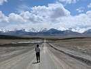
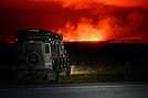
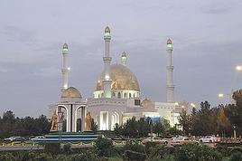
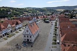
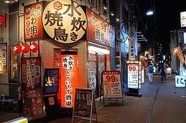
The latest travel journal about Turkmenistan dates back to 2019. Here’s a quick update on this vast desert country, which is now a bit easier to visit than before.
This is my first travel journal. If you have any questions, don’t hesitate to ask. The country is slowly opening up, but it’s still possible to visit sites where you’ll be completely alone. In five days, I saw two Hongkongers, a few Germans, and a Chilean at the crater, ten Chinese people in a capital bazaar, and that’s it!
It’s possible to visit Turkmenistan from Uzbekistan. The easiest and most economical way is to take a taxi to the border from Bukhara. The trip takes a little over an hour.
Crossing the border takes quite a while because many Turkmen bring back items bought in Uzbekistan to resell in Turkmenistan. For example, diapers, baby products, or beauty products. It took me over 2.5 hours to cross the border. To visit Turkmenistan, it’s mandatory to have a guide and go through a travel agency. British agencies often offer three-, five-, or seven-day trips for over 1,500 or 2,000 €. But if your budget is more limited, you can contact a few Turkmen agencies directly by email, and they’ll make you an offer between 700 and 1,300 € for three to seven days. I took a five-day trip from Turkmenabat in the northeast of the country to Dashoguz in the north. The goal was to visit the main UNESCO-listed sites, including Merv, and archaeological sites like Nisa or Gonur Tepe.
Your guide will also be your driver. They’ll pick you up at the border. The formalities are very long because customs officers have to stamp multiple documents, and obtaining the visa you previously requested from your travel agency requires several checks. But the process goes relatively smoothly, even if each step takes a while.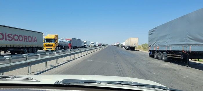
Once on the other side, the first surprise is the brand-new highway all the way to Turkmenabat. A very long line of trucks stretches for several kilometers on the Turkmen side to cross the border into Uzbekistan. According to my guide, Turkmen trucks transport gas and cotton (though not this season, since the harvest is in September), but they mainly fill up their tanks because fuel is much cheaper in Turkmenistan. A full tank for a car costs about 3 €, which is unbeatable.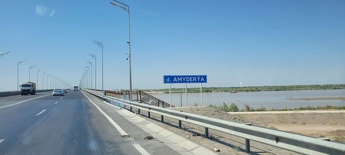
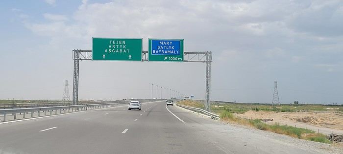
From the Farap border post, the goal is to reach the city of Mary, which is home to the UNESCO-listed site of Merv in its suburbs, about thirty kilometers away. This city is known as a foundation by Alexander the Great in the 4th century BC under the name Alexandria of Margiana. Several fortresses are visible.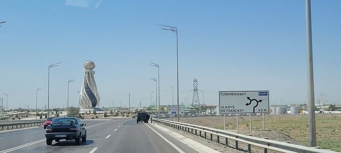
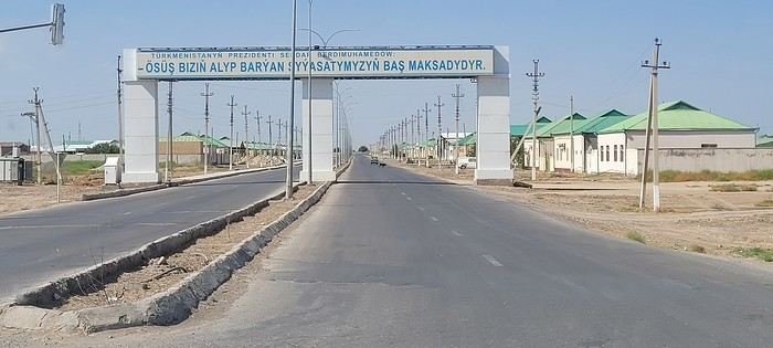
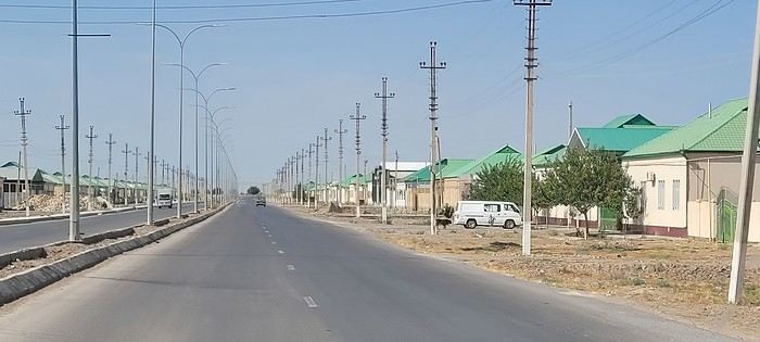
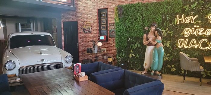
After more than three hours on the road, we have lunch at a Turkish restaurant called Aladdin. Several quotes from the president are visible along the highway, but the road is in good condition, and we move along easily. This will be by far the best road in the country—things will get much worse later.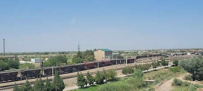
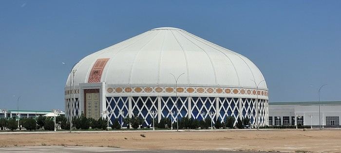
 Roundabouts are particularly interesting because they feature emblems of Turkmen culture, like the dog, a carpet, the Ahal Teke horse, or Muslim symbols, even though the presence of Islamic artifacts is quite limited.
This is my first travel journal. If you have any questions, don’t hesitate to ask. The country is slowly opening up, but it’s still possible to visit sites where you’ll be completely alone. In five days, I saw two Hongkongers, a few Germans, and a Chilean at the crater, ten Chinese people in a capital bazaar, and that’s it!
It’s possible to visit Turkmenistan from Uzbekistan. The easiest and most economical way is to take a taxi to the border from Bukhara. The trip takes a little over an hour.
Crossing the border takes quite a while because many Turkmen bring back items bought in Uzbekistan to resell in Turkmenistan. For example, diapers, baby products, or beauty products. It took me over 2.5 hours to cross the border. To visit Turkmenistan, it’s mandatory to have a guide and go through a travel agency. British agencies often offer three-, five-, or seven-day trips for over 1,500 or 2,000 €. But if your budget is more limited, you can contact a few Turkmen agencies directly by email, and they’ll make you an offer between 700 and 1,300 € for three to seven days. I took a five-day trip from Turkmenabat in the northeast of the country to Dashoguz in the north. The goal was to visit the main UNESCO-listed sites, including Merv, and archaeological sites like Nisa or Gonur Tepe.
Your guide will also be your driver. They’ll pick you up at the border. The formalities are very long because customs officers have to stamp multiple documents, and obtaining the visa you previously requested from your travel agency requires several checks. But the process goes relatively smoothly, even if each step takes a while.
Once on the other side, the first surprise is the brand-new highway all the way to Turkmenabat. A very long line of trucks stretches for several kilometers on the Turkmen side to cross the border into Uzbekistan. According to my guide, Turkmen trucks transport gas and cotton (though not this season, since the harvest is in September), but they mainly fill up their tanks because fuel is much cheaper in Turkmenistan. A full tank for a car costs about 3 €, which is unbeatable.
From the Farap border post, the goal is to reach the city of Mary, which is home to the UNESCO-listed site of Merv in its suburbs, about thirty kilometers away. This city is known as a foundation by Alexander the Great in the 4th century BC under the name Alexandria of Margiana. Several fortresses are visible.
After more than three hours on the road, we have lunch at a Turkish restaurant called Aladdin. Several quotes from the president are visible along the highway, but the road is in good condition, and we move along easily. This will be by far the best road in the country—things will get much worse later.
Roundabouts are particularly interesting because they feature emblems of Turkmen culture, like the dog, a carpet, the Ahal Teke horse, or Muslim symbols, even though the presence of Islamic artifacts is quite limited.




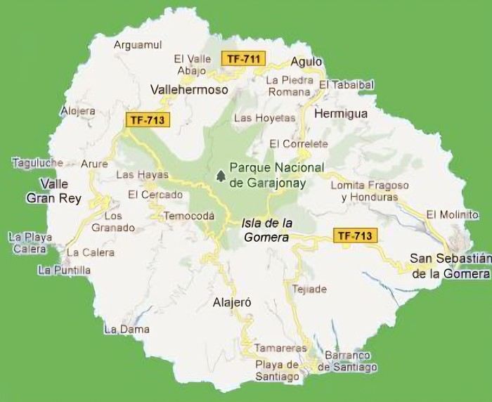 The large solidified magma massifs that shape the heart of the island have created a large depression more protected from the sun at its center, allowing the growth of a vast laurel forest, today grouped within the Garajonay National Park, La Gomera’s green lung, which has earned it the status of a World Biosphere Reserve. Its completely European appearance contrasts sharply with the rocky and tropical landscapes of the rest of the island. Thus, the climate varies greatly from one point to another on the island: in summer, you can quickly go from a dry and sunny valley at 35°C to a humid forest area at altitude at 18°C.


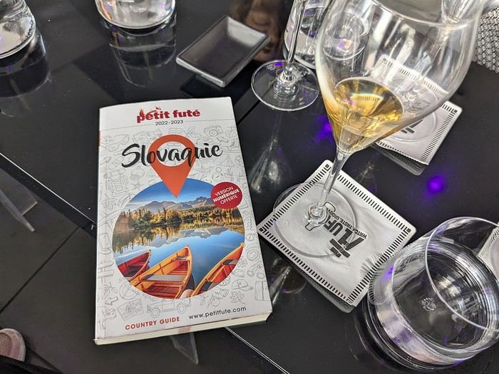 Why this country?
After visiting Hungary, Slovenia, Romania, and Poland in recent years, I’ve fallen in love with Eastern European countries. I adore the Slavic soul, its Austro-Hungarian villages, the gentle landscapes, the Carpathian Mountains, and that slightly mysterious atmosphere.
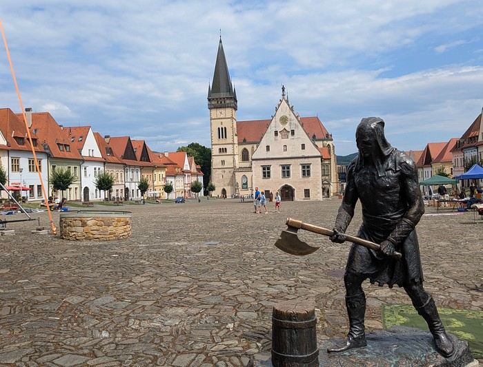
Slovakia evokes a certain imagination with its deep forests, medieval castles, and cobbled villages.
After seeing photos of the High Tatras—especially Lake Štrbské Pleso and Spiš Castle—I thought, "Let’s do it! We’re going!"
So, will Slovakia live up to what I imagine?
We’ll find out together.
We decided to travel as a group of six (five adults and a six-year-old child), by car (we needed two).
Here’s the day-by-day itinerary for this family trip, which started with a 3-day stay in Vienna (see the dedicated travel journal):
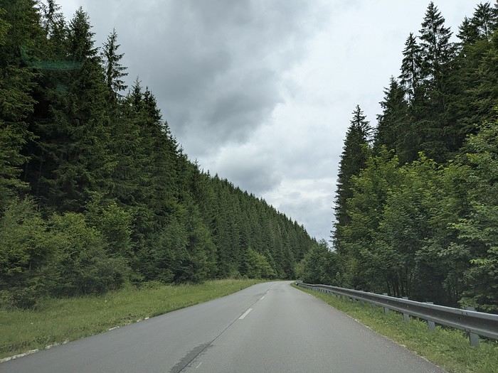
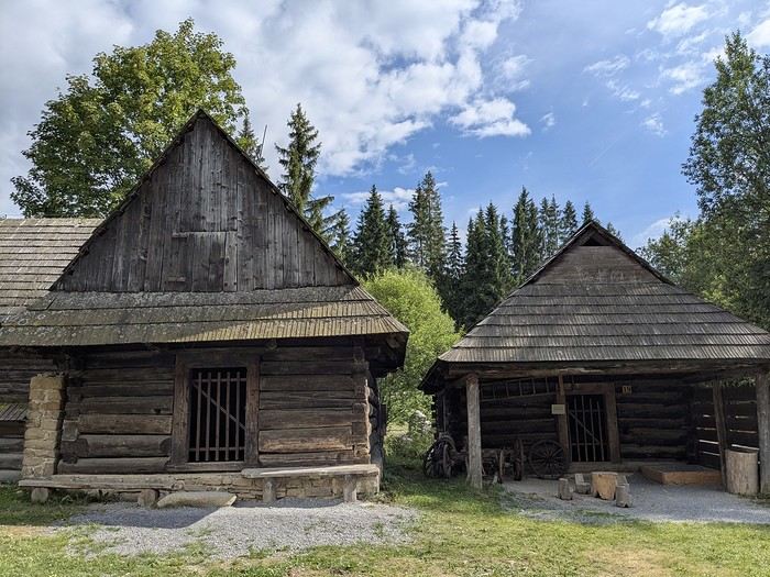

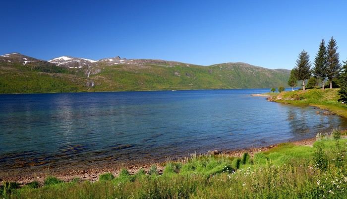
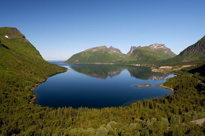
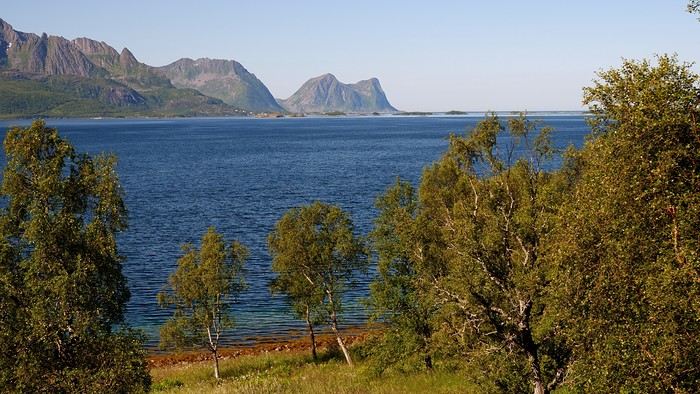
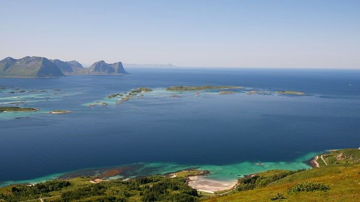
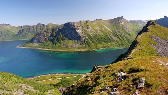
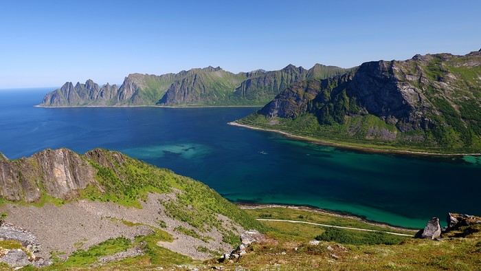
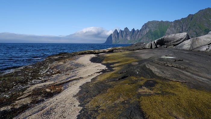
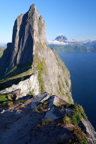
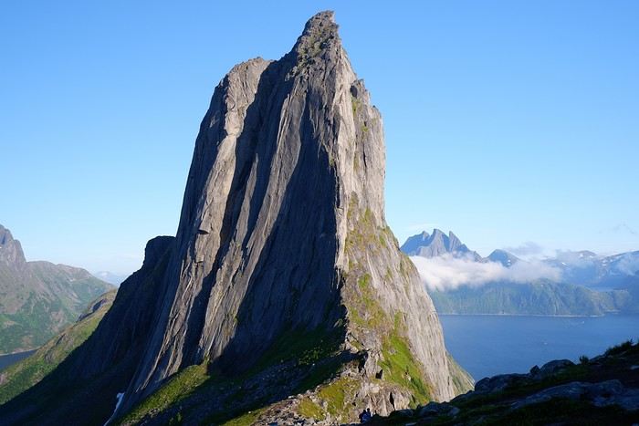
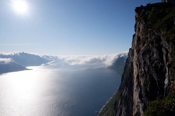
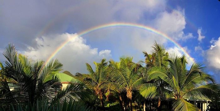
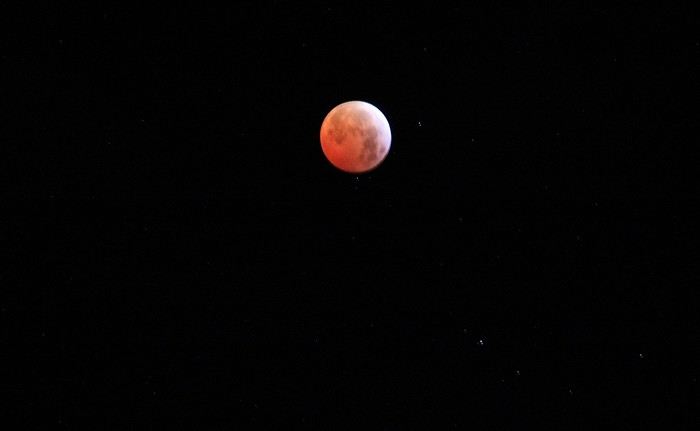
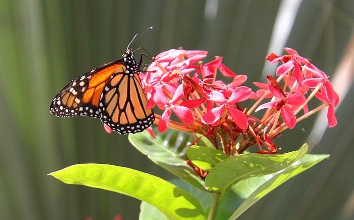
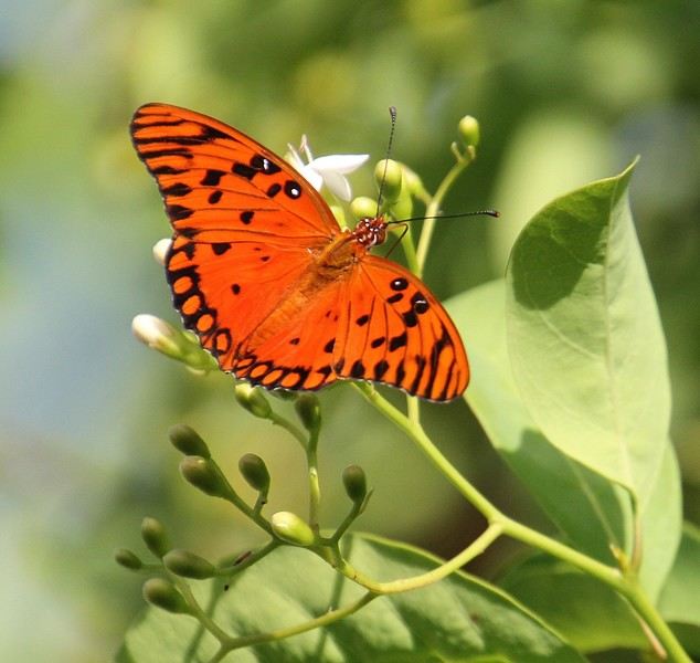
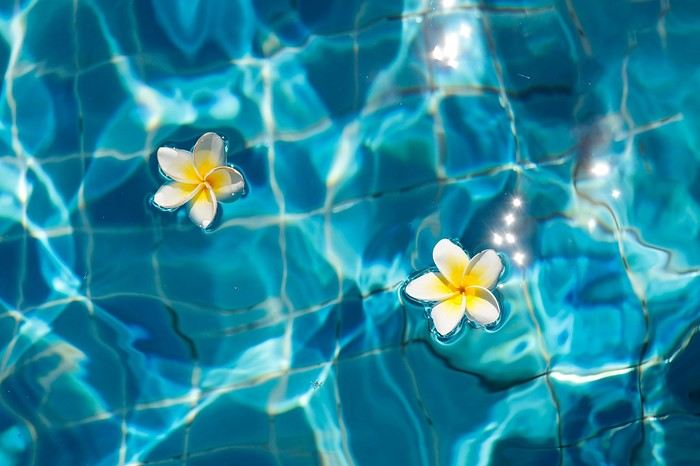
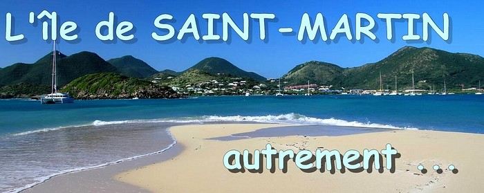 When it comes to the Caribbean island of Saint-Martin, it's customary to praise its coastline and dreamy beaches—and they certainly deserve it.
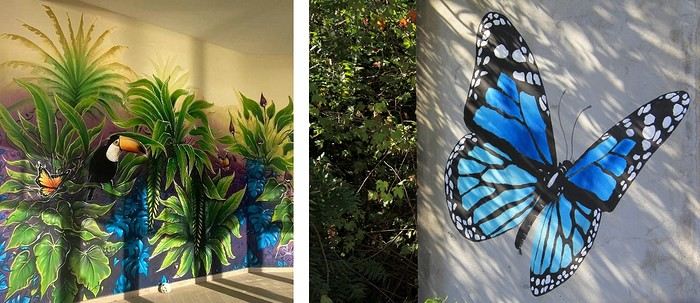
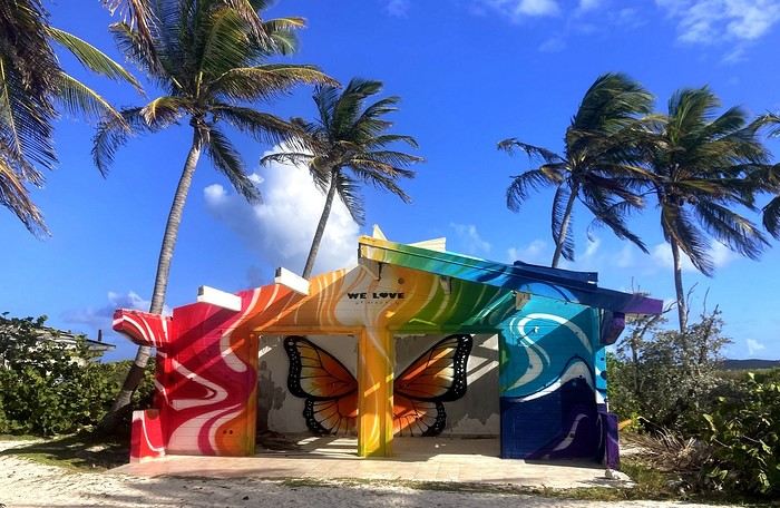
But in this story, I’d like to highlight other memories, aspects, and impressions for a slightly different change of scenery.
Enjoy the read—some text and, above all, lots of photos.
« Byenveni sou zile Sen Maten! » (Welcome to the island of Saint-Martin)
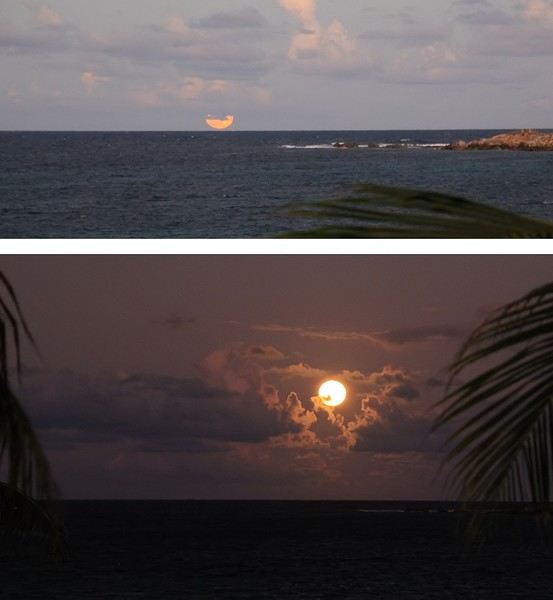
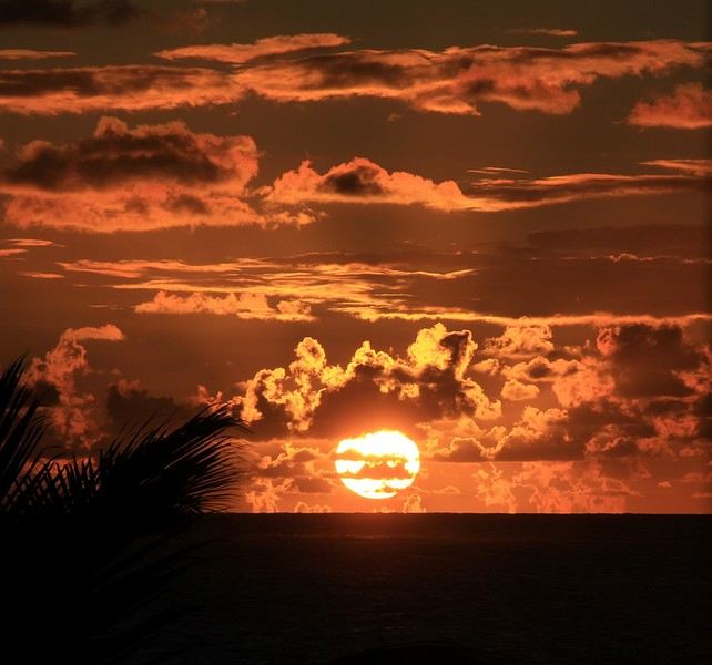
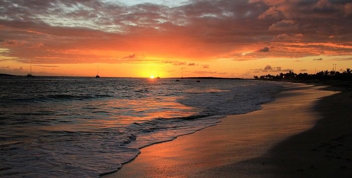


 Come along, I'm taking you to this country where it's so nice to wander and slow down...