Day 5 – Kyanjing Ri
Breakfast. The Americans are up around a table in a corner of the room, discussing their itinerary with their guide, with documents spread out on the table. They’re being loud again, completely ignoring the other guests. The nerve of those people! 😠
Y decided not to do the excursion to Kyanjing Ri. I totally get it, and H feels the same. As for me, I’m ready. I slept badly last night—the bed was really uncomfortable. 🙁 Oh well, at 7:30 AM, “zam zam”! The climb starts right after leaving Kyanjing Gompa. It’s a narrow trail but doesn’t present any particular difficulties—except that it goes up, up, up. I have to stop several times along the way to catch my breath. I hadn’t had any issues until now, but we’re now over 4,000 meters above sea level, and I’m starting to feel the fact that the air has much less oxygen available. Actually, if I understand correctly, the air contains the same proportion of oxygen here as at sea level—21%—but the air pressure is lower, which means with each breath, you get less air, and therefore less oxygen, into your lungs. Other than that, no other issues, no symptoms of altitude sickness.
We reach a saddle: to the left (west), the “Lower Kyanjing Ri,” at 4,400 meters, and to the right (east), a second summit peaking at 4,773 meters. I’ve already climbed 530 meters in elevation from Kyanjing Gompa (3,870 meters) in about an hour and a half. The extra 373 meters to reach the higher summit would be too much for me. H says it would take another hour and a half to get there.
The saddle isn’t spacious. It only offers a few square meters of relatively flat ground to spread out the map I was given in KTM. With my cheap little compass, I orient it under the surprised gazes of H and S. I don’t think this kind of thing is part of their education… Once the two summits are located, we know Tibet is straight ahead, just a few kilometers away.
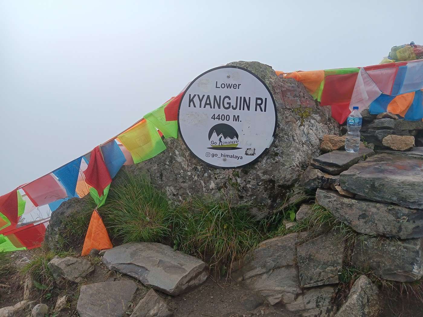
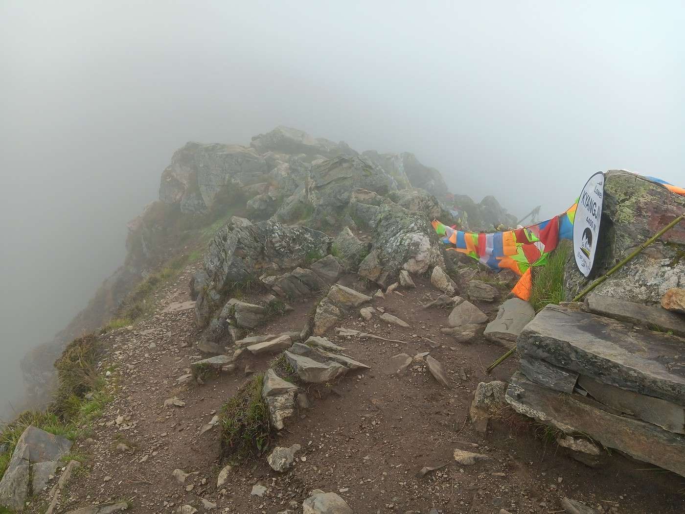
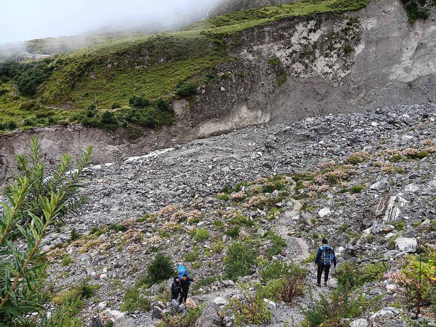
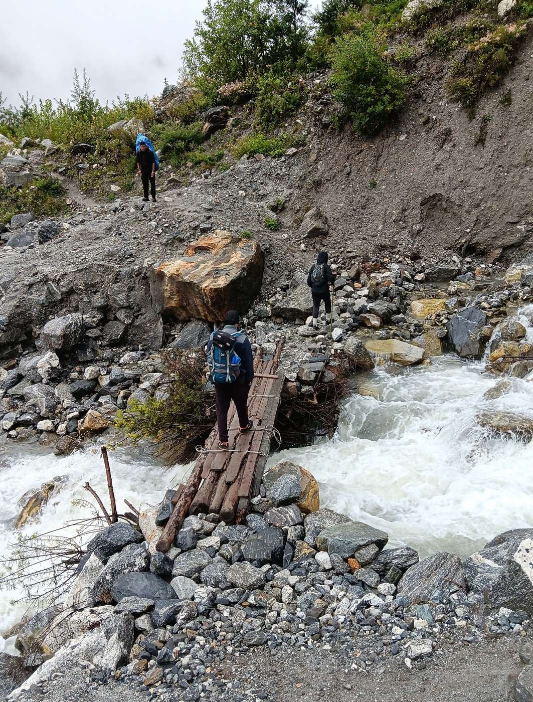
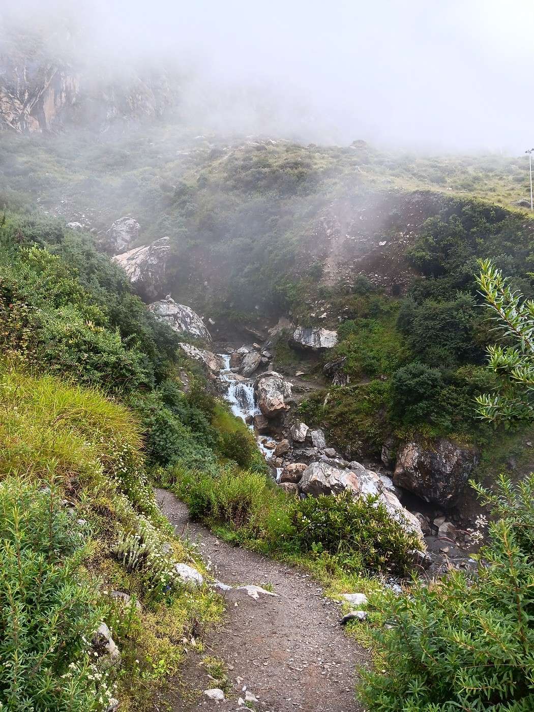
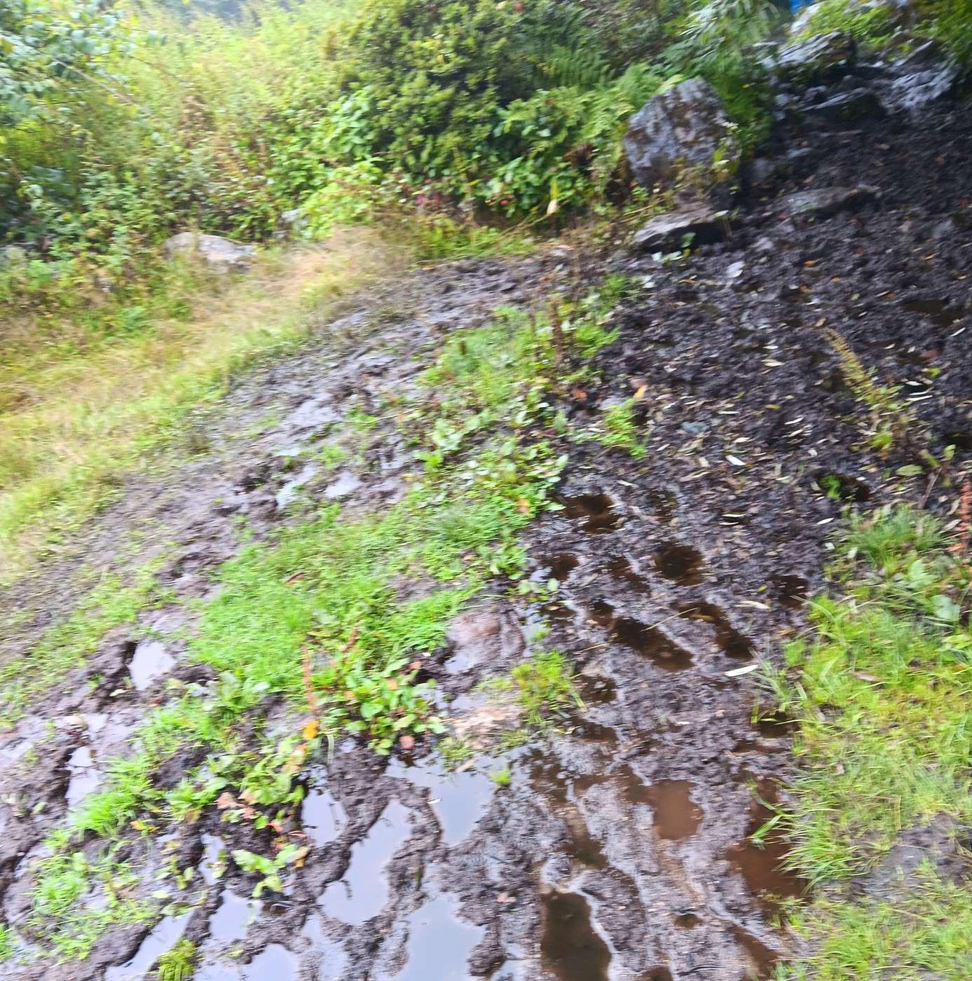
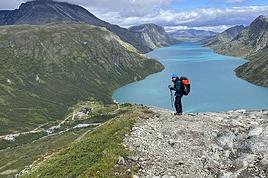
It only takes about ten minutes to reach “Lower Kyanjing Ri,” just after 9 AM. First photo. There’s still some scrub at this altitude, and I’ve noticed plenty of goat, cow, and yak droppings along the way. It’s still cow-mountain territory!
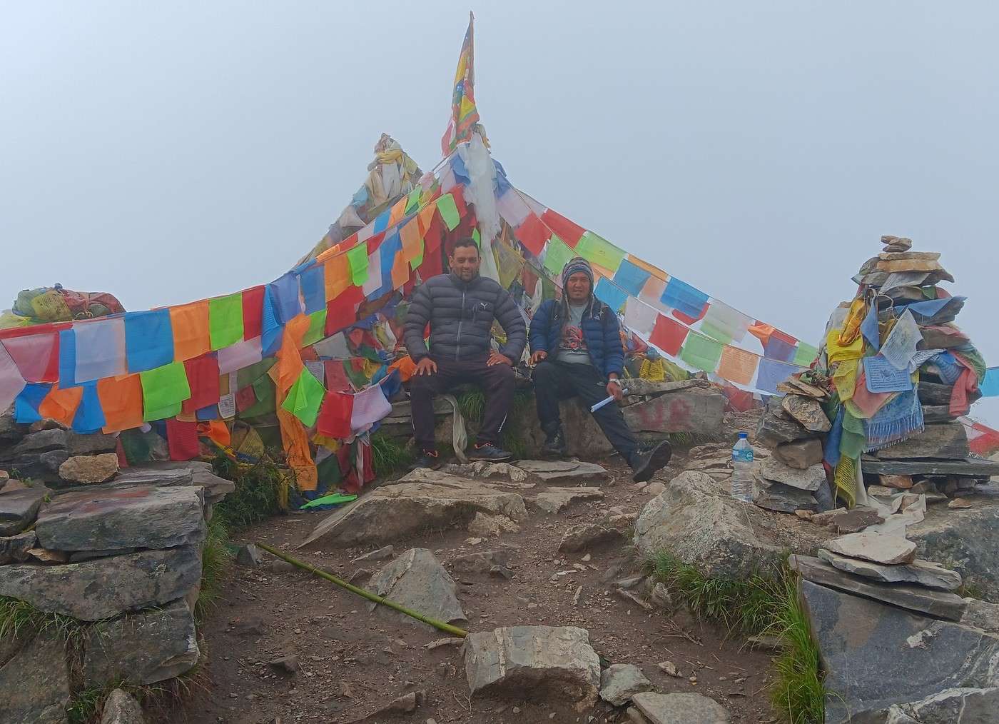
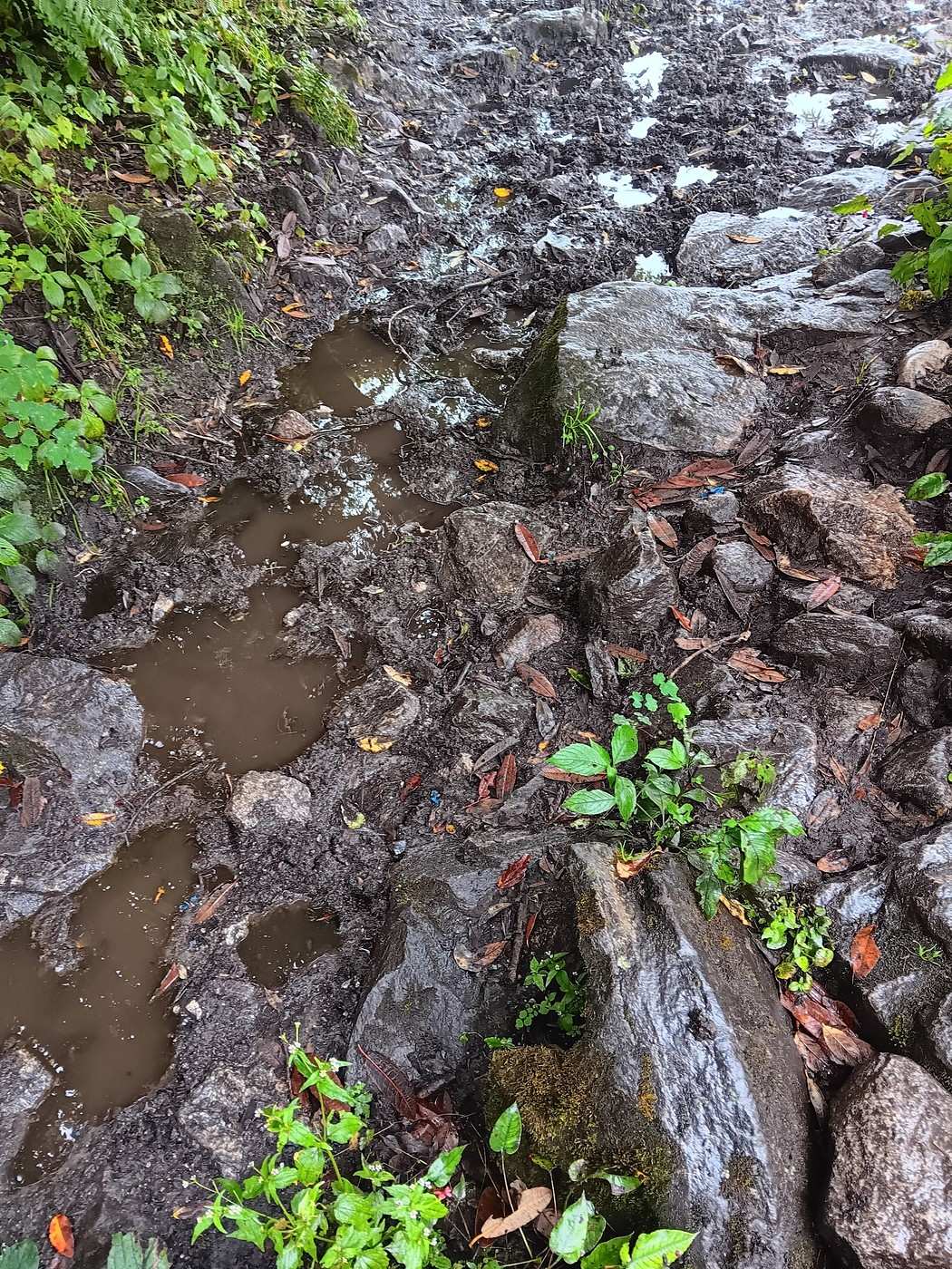
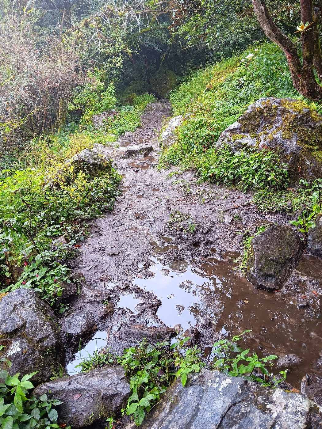
The second photo shows the arrival at the summit—I think it really captures the chaotic nature of this mountain! Also, you can see there are only a few meters of usable space between the steep slopes. Third photo: H and S sitting a few steps higher, at the summit. Behind them, to the west, you can clearly see the Langtang Lirung, rising to 7,227 meters. It towers over us by almost 3,000 meters. Since it’s only 8 or 9 kilometers away, the clear weather lets us make out every detail of its majestic ice mass. 😎
I’m joking, of course! 😏 I held back from adding any lyrical words about birds chirping in the branches! In reality, we’ve been in the fog since Kyanjing Gompa, and visibility at the summit is probably only a few dozen meters at best.
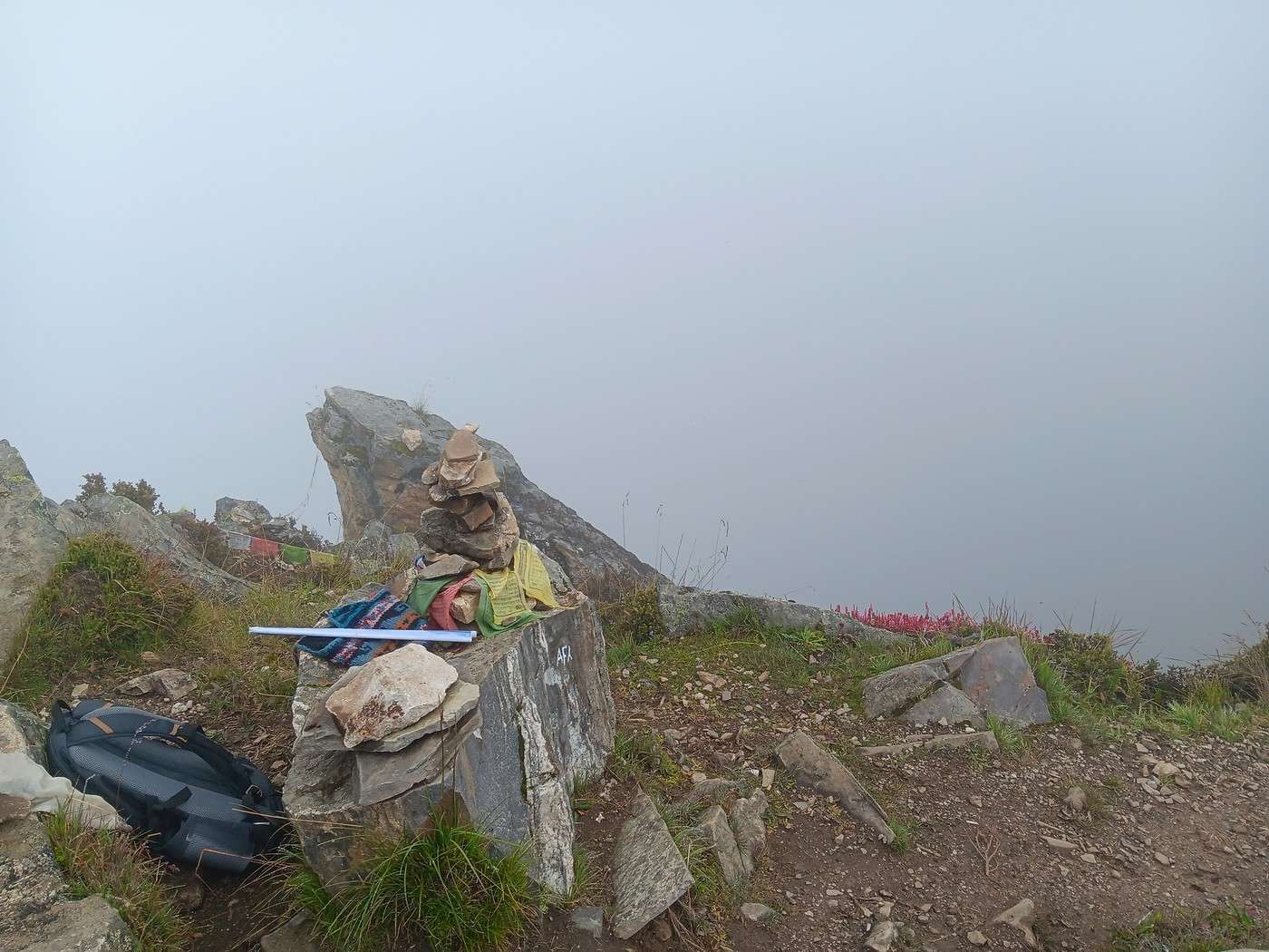
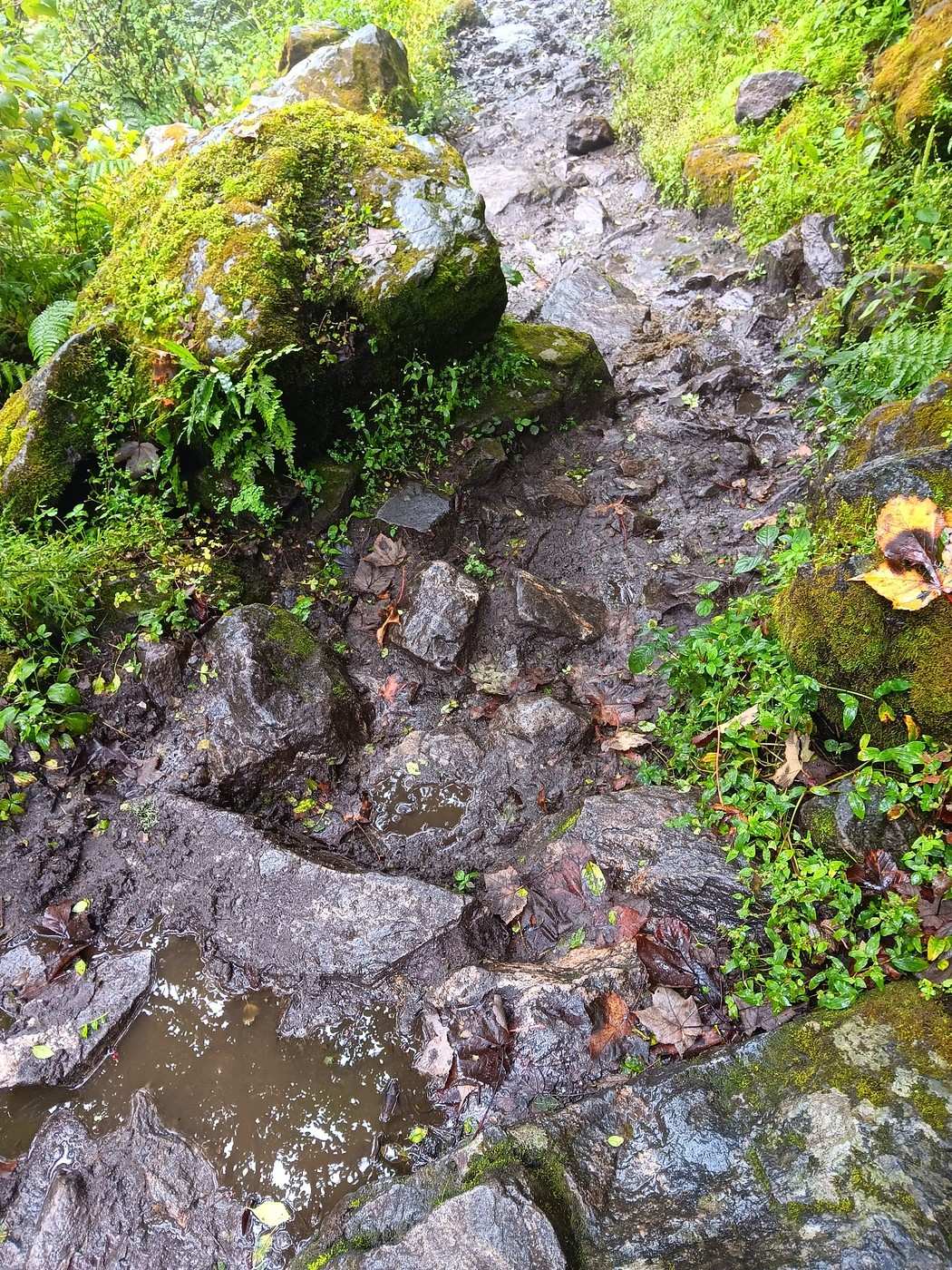
The fourth photo faces north. The Tibetan border is about 5 km away. But we can’t see a thing—just thick pea soup. What bad luck! 😕
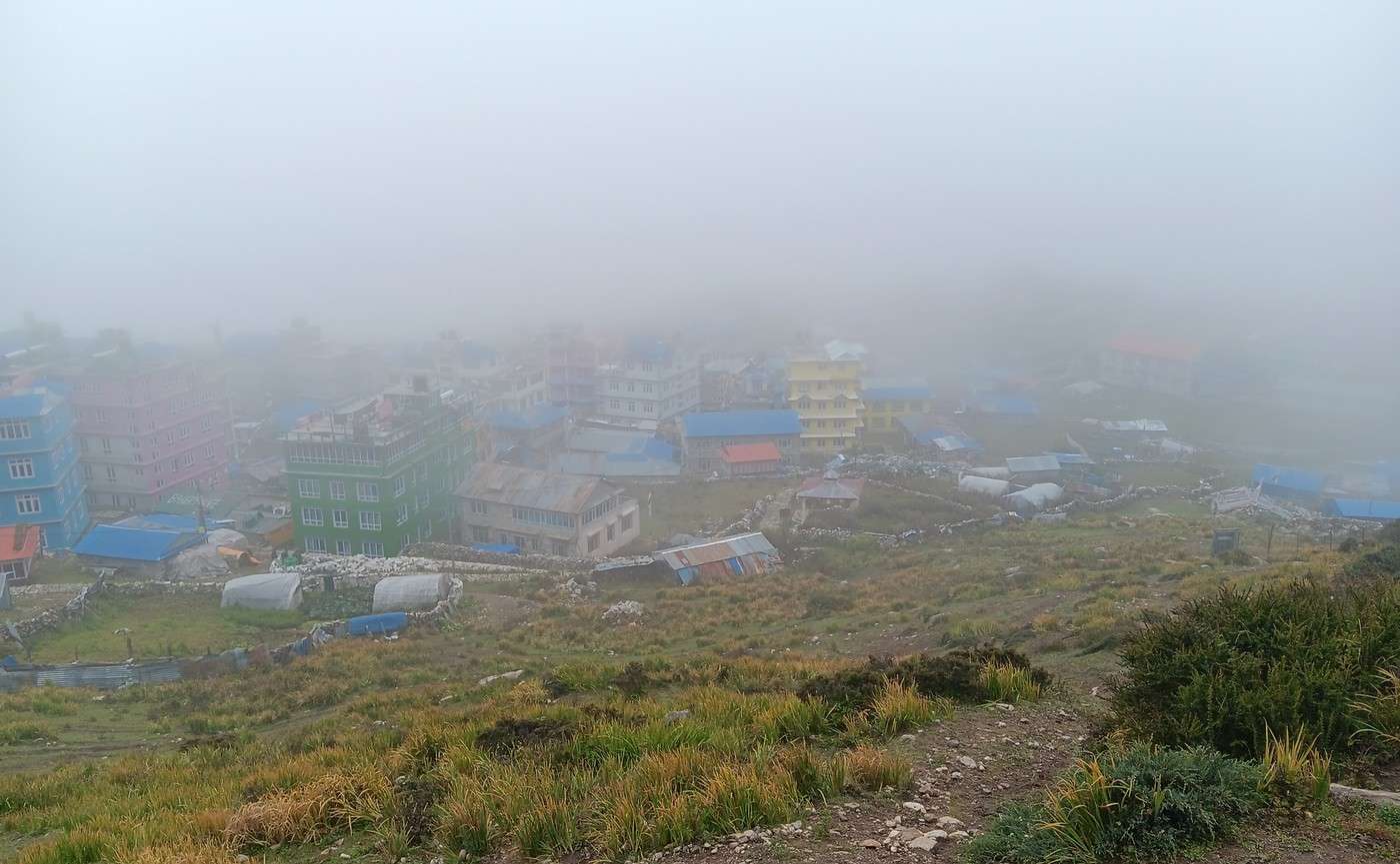
The descent is faster than the climb. We get back to Kyanjing Gompa around 10:30 AM. Fifth photo: Kyanjing Gompa in the fog.
October 9 - Day 1
There’s an old Chinese proverb I particularly like: "Dú wán juán shù, búrú xing wán li lú." In slightly more familiar terms, it means you always learn more by traveling ten thousand miles than by reading ten thousand books. And I’m the perfect guy for this because, first, I don’t have time to read ten thousand books about our new destination... And second, the proverb is literally made in our new adventure playground: China!
China... or should I say, "Paradox-land"! A country we see everywhere—on the news or on the "Made in China" labels of half the objects around us—but one we actually know very little about. A country hurtling toward the future while still casually chatting with its rich past. A country that, through our Western lens, seems uniform and just filled with Chinese people who all look alike, yet reveals an incredible cultural, natural, demographic, and culinary diversity as soon as you dig a little deeper. A country with a reputation for being logistically tricky for solo travelers, yet where you can book public toilets on your smartphone. In short, a delightful mess of disorienting contradictions—and, of course, a destination that was bound to charm our wandering soles for a while.
That "while" will be two weeks... And the "we," since I wanted the best in the world to join me, will be Flo and me in this backpacking duo stamped with wanderlust! Just the two of us for two weeks to explore a tiny part of this continent-sized country, trying to understand how old wooden stilt houses coexist in the middle of futuristic skyscrapers glowing with lights, tasting all the weird and wonderful things that come our way, and—incidentally—covering the famous ten thousand kilometers from our proverb.
Well... we’ll probably cover a little less than that, but enough to let us write our own travel journal instead of reading others’... Because you know us—between living our lives watching others live theirs by reading ten thousand books, or writing our own by truly roaming the world, we’ve long since chosen our side! And you, who’s reading this—team book or team live?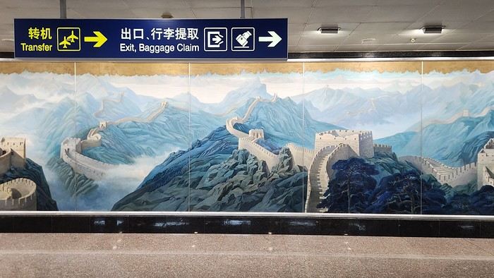
There’s an old Chinese proverb I particularly like: "Dú wán juán shù, búrú xing wán li lú." In slightly more familiar terms, it means you always learn more by traveling ten thousand miles than by reading ten thousand books. And I’m the perfect guy for this because, first, I don’t have time to read ten thousand books about our new destination... And second, the proverb is literally made in our new adventure playground: China!
China... or should I say, "Paradox-land"! A country we see everywhere—on the news or on the "Made in China" labels of half the objects around us—but one we actually know very little about. A country hurtling toward the future while still casually chatting with its rich past. A country that, through our Western lens, seems uniform and just filled with Chinese people who all look alike, yet reveals an incredible cultural, natural, demographic, and culinary diversity as soon as you dig a little deeper. A country with a reputation for being logistically tricky for solo travelers, yet where you can book public toilets on your smartphone. In short, a delightful mess of disorienting contradictions—and, of course, a destination that was bound to charm our wandering soles for a while.
That "while" will be two weeks... And the "we," since I wanted the best in the world to join me, will be Flo and me in this backpacking duo stamped with wanderlust! Just the two of us for two weeks to explore a tiny part of this continent-sized country, trying to understand how old wooden stilt houses coexist in the middle of futuristic skyscrapers glowing with lights, tasting all the weird and wonderful things that come our way, and—incidentally—covering the famous ten thousand kilometers from our proverb.
Well... we’ll probably cover a little less than that, but enough to let us write our own travel journal instead of reading others’... Because you know us—between living our lives watching others live theirs by reading ten thousand books, or writing our own by truly roaming the world, we’ve long since chosen our side! And you, who’s reading this—team book or team live?
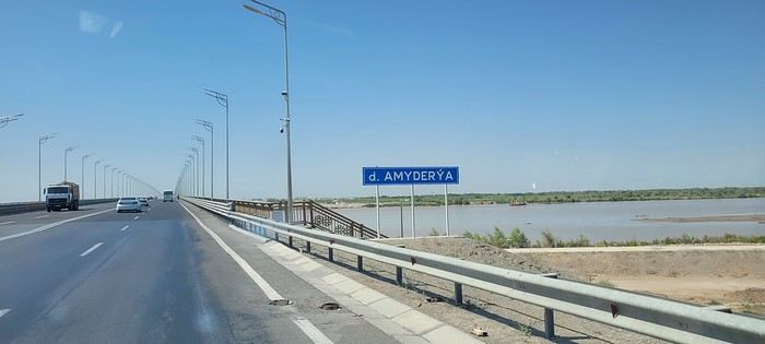
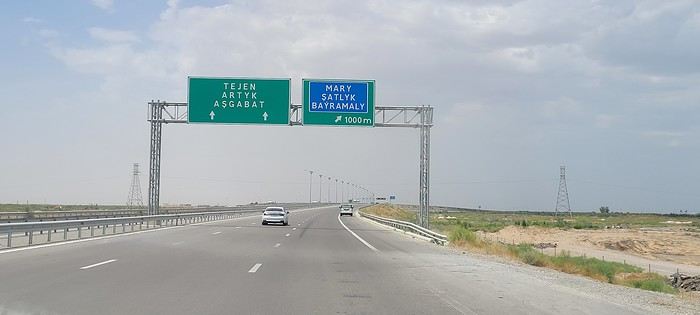
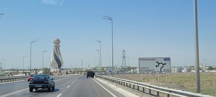
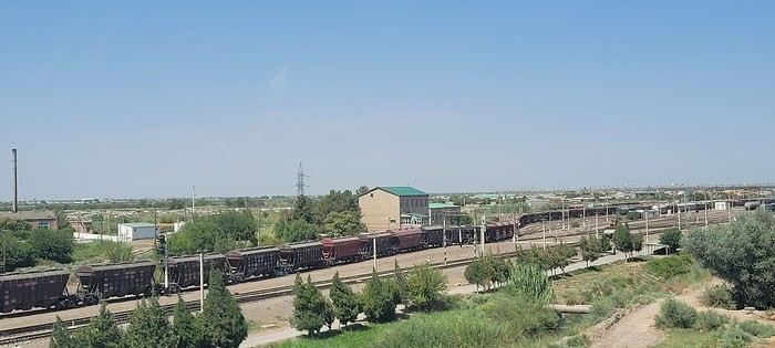
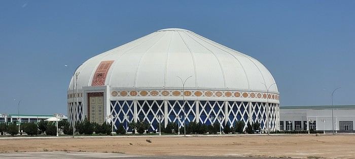
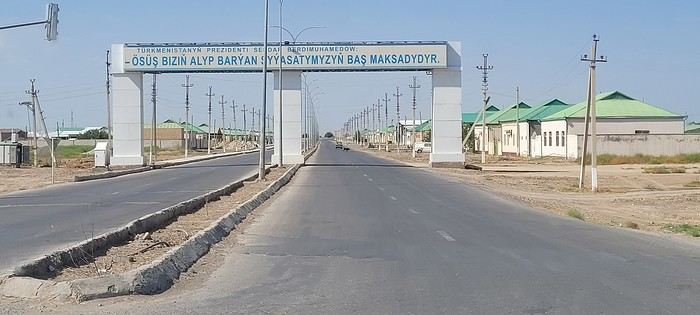
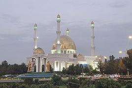
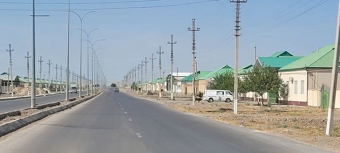 Roundabouts are particularly interesting because they feature emblems of Turkmen culture, like the dog, a carpet, the Ahal Teke horse, or Muslim symbols, even though the presence of Islamic artifacts is quite limited.



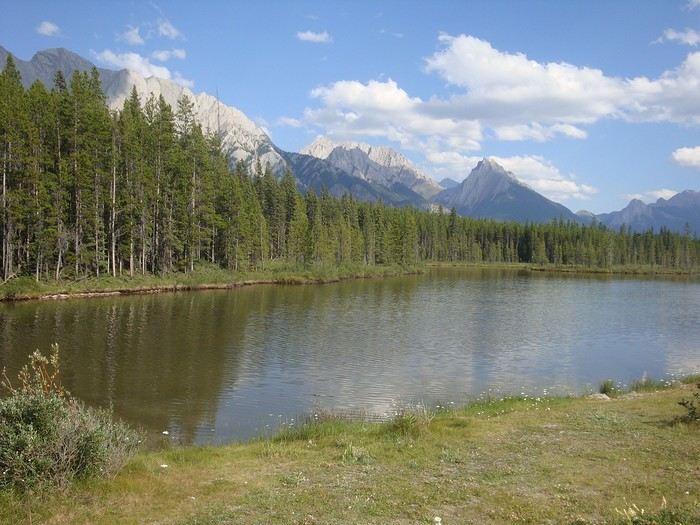
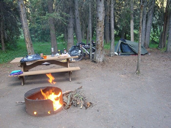

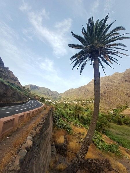
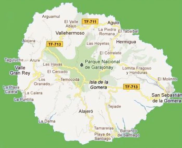 The large solidified magma massifs that shape the heart of the island have created a large depression more protected from the sun at its center, allowing the growth of a vast laurel forest, today grouped within the Garajonay National Park, La Gomera’s green lung, which has earned it the status of a World Biosphere Reserve. Its completely European appearance contrasts sharply with the rocky and tropical landscapes of the rest of the island. Thus, the climate varies greatly from one point to another on the island: in summer, you can quickly go from a dry and sunny valley at 35°C to a humid forest area at altitude at 18°C.


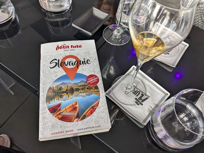 Why this country?
After visiting Hungary, Slovenia, Romania, and Poland in recent years, I’ve fallen in love with Eastern European countries. I adore the Slavic soul, its Austro-Hungarian villages, the gentle landscapes, the Carpathian Mountains, and that slightly mysterious atmosphere.
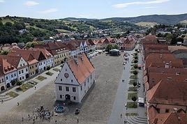
Slovakia evokes a certain imagination with its deep forests, medieval castles, and cobbled villages.
After seeing photos of the High Tatras—especially Lake Štrbské Pleso and Spiš Castle—I thought, "Let’s do it! We’re going!"
So, will Slovakia live up to what I imagine?
We’ll find out together.
We decided to travel as a group of six (five adults and a six-year-old child), by car (we needed two).
Here’s the day-by-day itinerary for this family trip, which started with a 3-day stay in Vienna (see the dedicated travel journal):

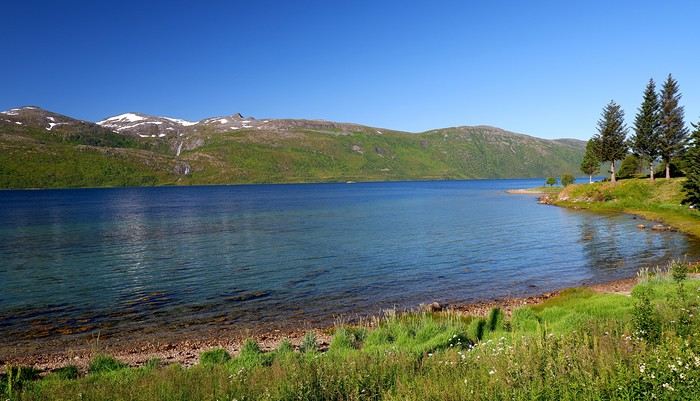
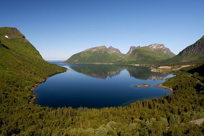
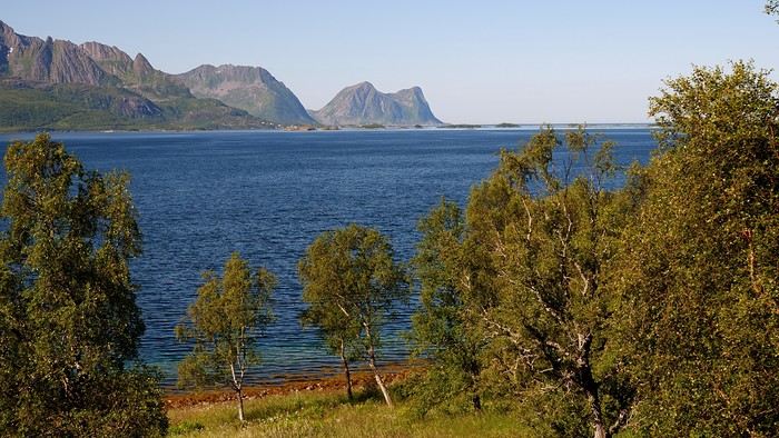
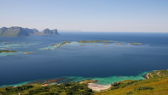
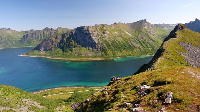
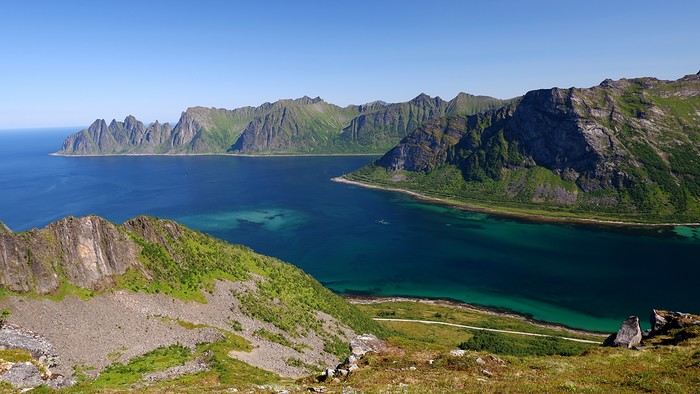
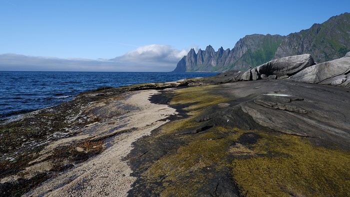
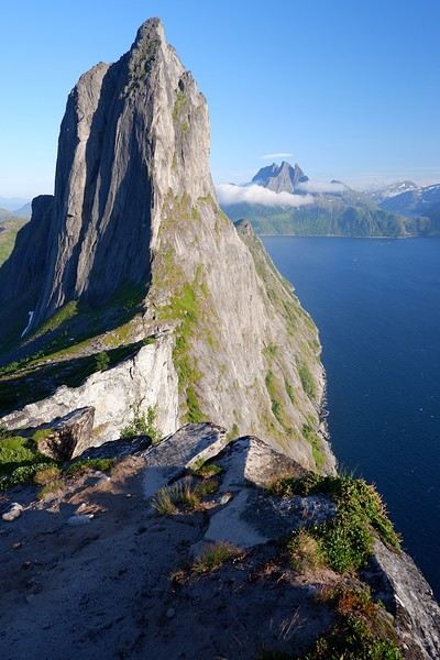
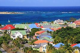
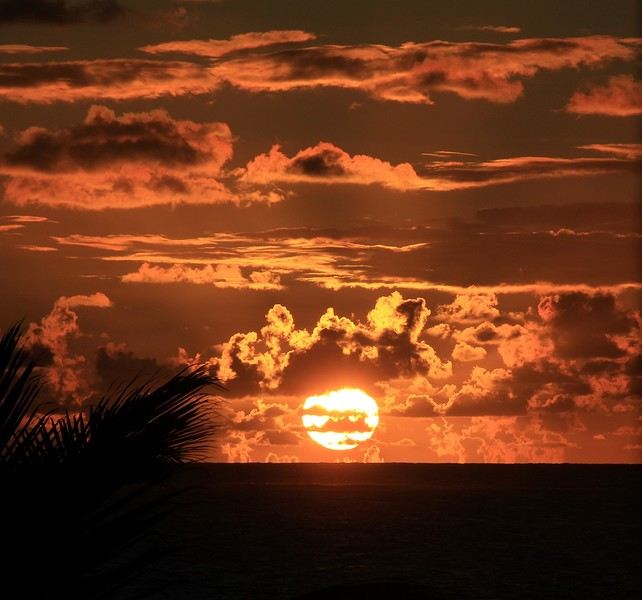
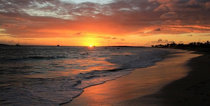
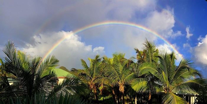
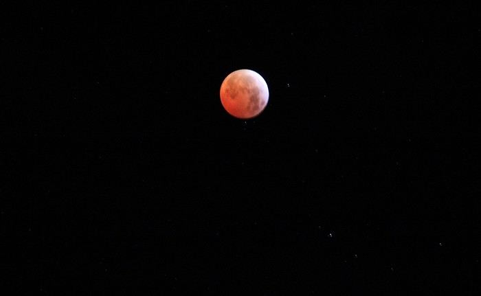
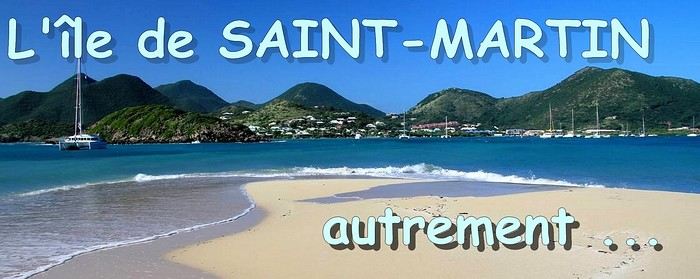 When it comes to the Caribbean island of Saint-Martin, it's customary to praise its coastline and dreamy beaches—and they certainly deserve it.
But in this story, I’d like to highlight other memories, aspects, and impressions for a slightly different change of scenery.
Enjoy the read—some text and, above all, lots of photos.
« Byenveni sou zile Sen Maten! » (Welcome to the island of Saint-Martin)
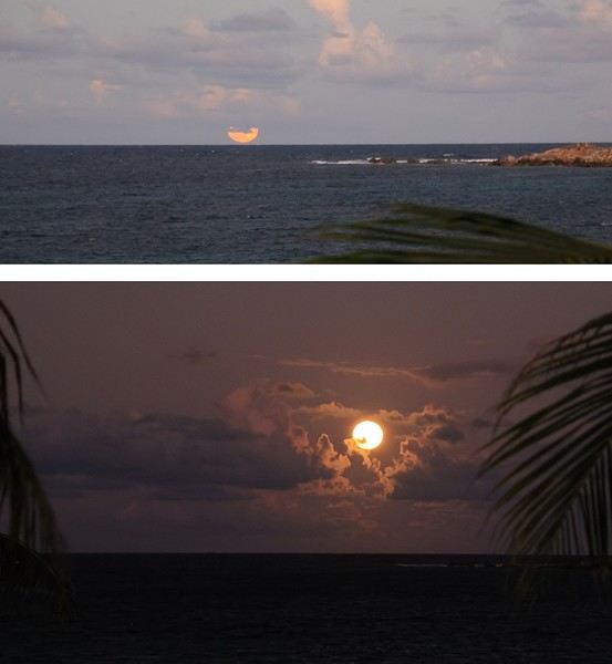
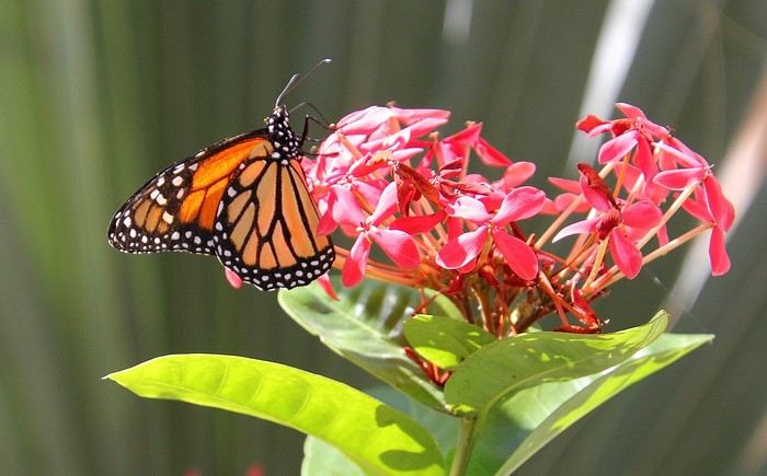
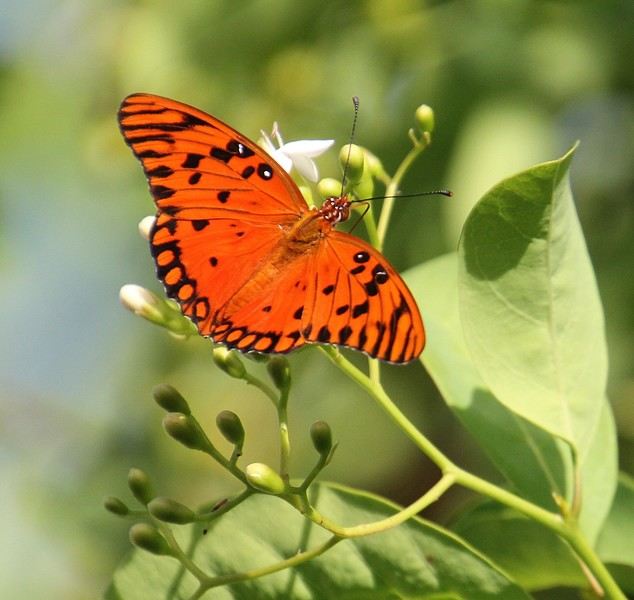
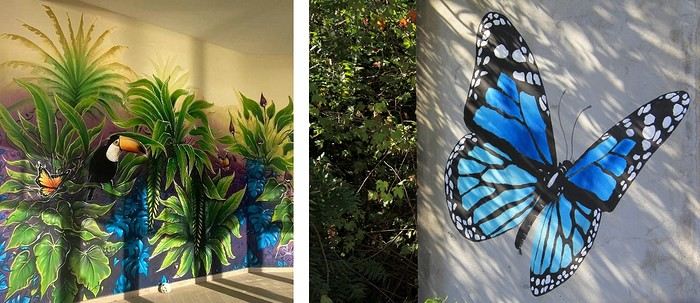
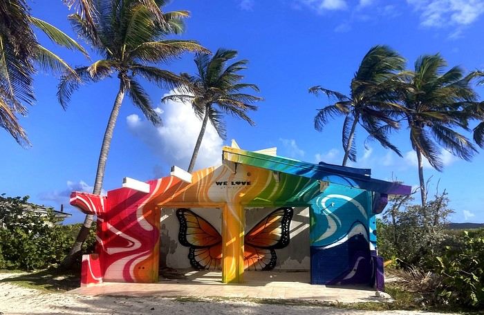

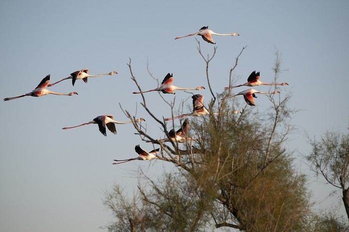
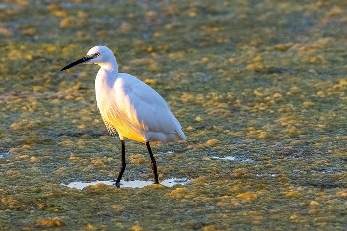
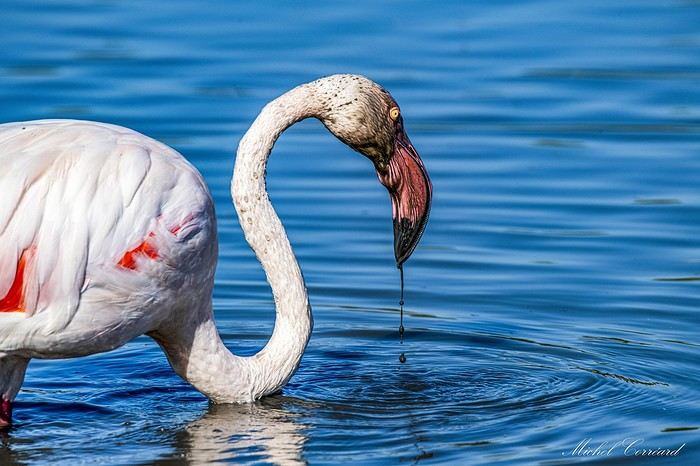
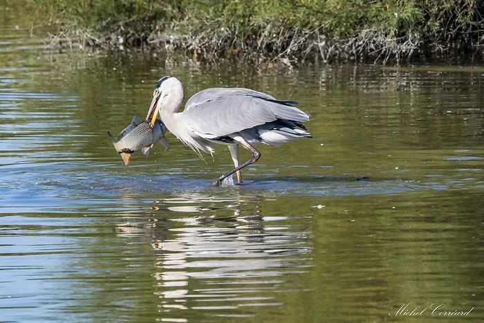


 Come along, I'm taking you to this country where it's so nice to wander and slow down...