We’re back from our September 2025 road trip, this time to explore Arizona and New Mexico, and it’s time for me to start my travel journal—especially since everything’s already booked for another trip in September 2026 (to California), and I need to get started on the planning.
I was a little worried this new visit to Uncle Sam’s country might not be as "wow" as the others, but we still discovered some incredible places.
For those who don’t know us, we’re a couple in our seventies who speak very little English, but that didn’t stop us from fully enjoying our stay.
For this 6th road trip in the U.S., we spent 21 nights there, drove 4,160 km by car, and walked nearly 160 km in a loop starting from Phoenix.
We’d been to Arizona before (but not this side) and never to New Mexico. This whole road trip was a huge discovery for us.
In the prices mentioned (some in euros, others in dollars), bank fees and exchange charges are included. The flights, car rental, and parking were all paid for in December 2024 when we booked.
We’d downloaded the MPC (Mobile Passport Control) app, but there wasn’t a dedicated line at Phoenix Airport. Still, we got through quickly with friendly, smiling agents.
I don’t drive at all (I hate it), so the stops were chosen based on activities but also, for some, to limit daily mileage for the sole driver. The kilometers listed in the itinerary are the daily distances.
We traveled from September 9th to 22nd, unfortunately once again without our dear friends Mimi and Maumau.
The itinerary
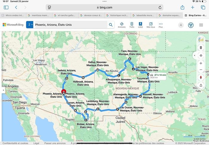
Day 1: Flight Marseille-Paris-Phoenix, then Gold Canyon (133 km) Day 2: Tucson (271 km) Lost Dutchman State Park Day 3: Tucson (155 km) Day 4: Tucson (34 km) Day 5: Bisbee (182 km) Day 6: Lordsburg (345 km) Day 7: Las Cruces (253 km) Day 8: Alamogordo (162 km) Day 9: Roswell (264 km) Day 10: Tucumcari (369 km) Day 11: Las Vegas (281 km) – the one in New Mexico Day 12: Taos (213 km) Day 13: Santa Fe (224 km) Day 14: Albuquerque (123 km) Day 15: Gallup (246 km) Day 16: Holbrook (224 km) Day 17: Flagstaff (179 km) Day 18: Sedona (118 km) Day 19: Sedona (48 km) Day 20: Sedona (41 km) Day 21: Phoenix (256 km) Day 22: Phoenix Airport (35 km)
📊 **Budget**: A little over 7,500 € for both of us, all included. The exchange rate was in our favor (1.17 dollars to 1 €). 📊 **Flights**: Marseille-Paris Charles de Gaulle-Phoenix: 1,787 € for two, with one checked bag each (Air France) 📊 **ESTA**: $42 📊 **America the Beautiful Pass**: $80 📊 **Parking**: 134 € (super eco at Marseille) 📊 **Car rental (Hertz)**: 865 €. Since there were no SUVs left in the reserved category (Nissan Rogue), we got an upgrade (4x4 Ford Explorer). We booked through Air France (15% discount). We’d originally reserved it in December for 1,140 €, but since prices dropped in March, we canceled and rebooked for 865 €. Hertz offers a free Hertz Gold Plus Rewards program, which gives you priority counter service when picking up the car. 📊 **Accommodation**: 2,400 € We stayed in hotels and motels of varying standards (from 60 to 203 € per night, depending on the city), all booked through Booking.com or Hotels.com. Out of 21 nights, only two didn’t include breakfast in the price. Booking.com sometimes offers slightly cheaper rates if you book by phone using the mobile app, and our Genius 3 status on the site also got us some preferential rates. 📊 **Supplementary insurance**: AVA 200 € for medical care if needed 📊 **Cash**: $2,078. We left with 1,000 € exchanged before departure and made two withdrawals of $500. This cash covered: - Evening restaurants and tips - Midday picnics - Gas: $298 for 4,160 km - Museum and private park entries (per person): - Lost Dutchman: $10 - Arizona-Sonora Desert Museum: $28 - Bird Cage Theater: $16 - Tombstone Shootout: $8 - New Mexico Farm & Ranch Museum: $12 - Roswell International UFO Museum: $5 - Billy the Kid Museum: $7 - Rancho de Taos: $22 - West Fork Oak Creek Trail entry: $15 We got a few discounts thanks to our senior age (+65). - Souvenirs and little treats
Like on our previous road trips, we didn’t rent a GPS. We got around using offline GPS apps Here WeGo and Organic Maps, with maps of the states we visited downloaded before we left (on our phones).
❤️❤️❤️ **Highlights** (there are so many!) 📍 Goldfield Ghost Town (even if it’s a reconstruction) 📍 The standing army of Saguaro cacti at Saguaro National Park West 📍 Diving into the cowboy universe of Tombstone 📍 The welcome from Rick and Henry at our guesthouse in Bisbee (Garden at Mile High Ranch) 📍 The tangled rocks of Chiricahua National Monument 📍 The flavored pistachios from Dwayne’s Fresh Jerky and Mac Ginnis Pistachioland 📍 Restaurants: La Posta (Las Cruces), Diner 66 (Albuquerque), and the Haunted Hamburger (Jerome) 📍 The old plazas of New Mexico 📍 The solitude and beauty of the white dunes at White Sands National Park 📍 Stepping back in time at the Billy the Kid Museum (Fort Stanton) 📍 Sections of historic Route 66 and the old motels of Tucumcari, especially at night when all the neon lights are on 📍 Taos Pueblo and diving into Native American culture 📍 After the Rio Grande Bridge, the descent via NM 567 to the very bottom of the Rio Grande Gorge, then the road along the riverbanks to Taos 📍 The tranquility of the Chimayo Sanctuary 📍 Discovering the ingenious native dwellings at Bandelier National Monument and Walnut Canyon National Park 📍 The small towns along the Turquoise Trail 📍 The red rocks of Red Rock Park and the Painted Desert 📍 The extraordinary colors of the petrified trees at Petrified Forest National Park 📍 Sedona, its red rocks, and the reward of the viewpoints at the end of hikes (Devil’s Bridge, The Subway, and West Fork Oak Creek) 📍 The immersion in Mexico when visiting Tlaquepaque 📍 The almost-ghost town of Jerome and its terraced streets 📍 The incredible kindness of Americans, always ready to help and up for a chat ❤️
☹️☹️☹️ **Flops** (there are very few) 📍 Several museums and churches being closed, so we couldn’t visit them 📍 Some museums and visitor centers opening late (10 AM) and closing early (4 PM) 📍 A 64 € phone roaming charge because we got near the Mexican border and picked up their cell tower 📍 The outrageous price ($5.99) for a gallon of gas at the Shell near Phoenix Airport
I hope this helps! Anyway, thanks for reading my long post. Don’t hesitate to reach out, even via PM, if you see I haven’t replied and you’d like more details. Have a great evening, everyone! 🙂


 We continued our cowboy immersion by having dinner at the saloon, right in front of the mountain, at the Mammoth Steak House (a fun way to celebrate our 47th wedding anniversary), but it was just okay for the price.

 In the distance, the mountains and cacti stood out as silhouettes against beautiful color gradients as everything slowly darkened.
A little gift upon arriving at the hotel: a cute coyote calmly crossed in front of us (I’ll spare you the blurry photo I took).
Well, it’s been 30 hours since I last slept—time to hit the hay!
 We chose a loop of just under 6 km that combines three trail sections (Jacob’s Crosscut, Prospector’s Trail, and descent via Treasure Trail).
The beginning is flat, among the cacti—some had tiny flowers.
 Out of the three, only one climbs (over 1 km). It’s easier counterclockwise (fewer uphill sections). We really enjoyed this short hike, which gave us a great view of the desert. By the time we finished, after an hour and a half, it was already 38°C, and it didn’t seem like it was going to cool down.
We left Gold Canyon, with its pretty houses and gardens full of cacti.
This little stop is nice for those who don’t want to stay in Phoenix.
The road to Tucson is surrounded by desert fields. Everything is dry, and it feels like the plants are suffering (black trunks, drooping leaves) for kilometers.
Saint Anthony Greek Orthodox Monastery
This was our second stop.

 It was built 30 years ago in the Sonoran Desert after six monks arrived with the goal of establishing a monastery. The first impression is striking—a beautiful old white monastery on a hill, an oasis of greenery in the middle of the desert: flowers everywhere, singing fountains,
 citrus orchards, olive trees, and beautiful chapels filled with precious objects.
 The buildings and religious objects inside are stunning, but it felt like too much wealth for me. All that gold isn’t cool when so many people are in need. Plus, we had to dress according to their strict rules (hair covered, closed-toe shoes and socks, long skirt, long-sleeved shirt for DD and me). If we had to do it again, I’m not sure I’d stop. On top of that, while the nuns were friendly, the monks seemed tense and unsmiling.
Quick stop at the Tom Mix Memorial. We had our picnic in this rest area, which commemorates the spot where Western actor Tom Mix died in a car accident in 1940, complete with a lovely statue of his horse.
As we got closer to Tucson, the road ran alongside tall mountains with jagged peaks. It’s all so pretty...
And to finish off this otherwise great day, a *massive* flop—you need one every now and then to keep things interesting. We dropped off our bags at the hotel and headed out at 3:40 p.m. as planned to Saguaro National Park’s east side, only to find out the visitor center—where we were supposed to buy our America the Beautiful Pass—was already closed by 4:45 p.m. 🤦♀️ And there was no one in the booth. There *was* an automatic machine, but my English is so bad I wouldn’t dare try it—I’m pretty sure it could swallow my credit card after a wrong move. So, 70 km round trip from our hotel, and we had to turn back without even setting a tire in the park! With all that, it made for a day of over 270 km. Poor DD, who’s the only one driving. Luckily, the hotel’s jacuzzi and pool were there to console us. Tomorrow promises another great day of exploring.
Great meal for $78 at The Parish: 1 burger, 1 seafood pasta dish, and 2 beers. It was really good, filling, and just 700 m from the hotel
 With the morning light, it’s truly stunning. This variety of tree-like cactus, called Saguaro, is the emblem of the Sonoran Desert in Arizona and northern Mexico. They can grow up to 15 meters tall. Their growth is very slow (at 25 years old, they’re only about 30 cm tall), and they can live for 200 years. Their unique feature is branching out and raising their arms toward the sky. Each one is different, which is a delight for us.
Arizona-Sonora Desert Museum
Before diving into the national park, we make a quick stop at the Arizona-Sonora Desert Museum—a mix of zoo and botanical garden—to get in the mood. We stroll along paved trails, stopping to admire the plants and animals (bears, mountain lions, squirrels, beavers, wolves, foxes, javelinas...) found in this part of the U.S. (mountains, prairies, cactus gardens). There’s even a vivarium, a terrarium, and an aviary.
 We spend a little over two hours there.


 Luckily, the spines got stuck in the sole of his shoe. A few centimeters higher, and they would’ve gone through the fabric and into his foot. We had a good laugh trying to remove it—the cholla kept jumping from one shoe to the other! After seeing how hard it was to pull out, we realized he was lucky. After that incident, the tweezers never left the backpack. It was interesting for us, but we still wondered about the quality of life for the animals in the enclosures.
Saguaro National Park West
It’s just a few kilometers from the museum.
We stop by the visitor center to buy the America the Beautiful pass, then start our visit by taking the Scenic Bajada Loop Drive—a 15-kilometer easy trail winding through a stunning landscape of dry washes and hills, filled with cacti of all shapes.

 We couldn’t find the start of the first hike we’d planned (Valley View Overlook Trail), so we turned back after wandering for a while in a wash under scorching heat (34°C/93°F).
We discovered that the skeletons of these giants are made of very hard wood, which can be used for construction (if you look closely in the middle of the photo, you can see a lizard hiding).
 We stopped for a picnic at Signal Hill Petroglyphs—a very easy and fun spot—and discovered the petroglyphs, which are easily accessible.

 You can see the famous cholla, or "jumping cactus," responsible for very painful stings.
 During the drive, the big gray cloud that had muted the colors at the Gate Park Scenic Lookout turned into dark clouds on the horizon. We stop at the visitor center to check the weather for the next day since we planned to hike in Sabino Canyon. We start the beautiful Cactus Forest Loop Drive clockwise. Many prefer the west side of the park. Personally, I loved this tiny road winding through the cacti, with the mountains in the background, offering us one stunning viewpoint after another.
 At one of the viewpoints, a photo taken in 1935 at this very spot shows us how much more abundant saguaros were back then, even if they seem everywhere now.
 Now
 We’re lucky to escape the brewing storm, but we still decide to cancel the hikes since we can hear thunder rumbling in the distance. The lightning show is beautiful but far from reassuring.


 We didn’t visit the inside of the church because it wasn’t open yet. However, we noticed the poor living conditions around the Indian reservations, similar to what we’d seen on previous road trips.


 Many places are reconstructed, and some historic buildings have been turned into shops, but others, like the Big Nose Kate Saloon
 and the incredible Bird Cage Theater with its authentic period artifacts, are fascinating. The history that made this town famous is everywhere, much to our delight.

 We wanted to see the real reenactment of the Earp brothers’ gunfight, but we went to the wrong place. We saw a humorous shootout (the one near the mine), but it was a bit lost on us since our school-level English didn’t let us catch all the nuances—though the audience was laughing a lot.
 For those who want to see the real reenactment, it takes place under the red OK CORRAL sign, and tickets are sold at the Tombstone Historama.
We had planned to visit Boothill Cemetery and read the humorous epitaphs on the tombstones, but the 8 dollars per person entry fee made us turn around quickly.
 Before dinner at the guesthouse, we took a walk in our hosts’ beautiful garden (where there’s a hilariously recreated cowboy cemetery for Halloween).
Tomorrow, we’re sleeping in New Mexico. I’ll probably dream of Stetsons, cowboys, Colts, stagecoaches, and saloons tonight.
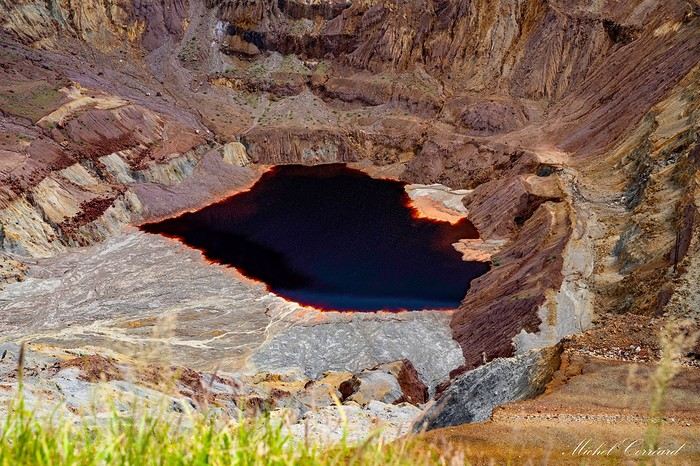
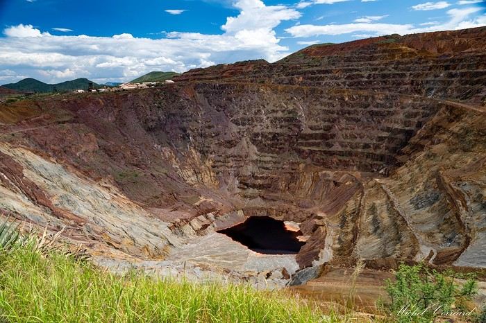
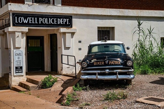
 Practically glued to the mine is the ghost town of Lowell, preserved just as it was in the 1950s.
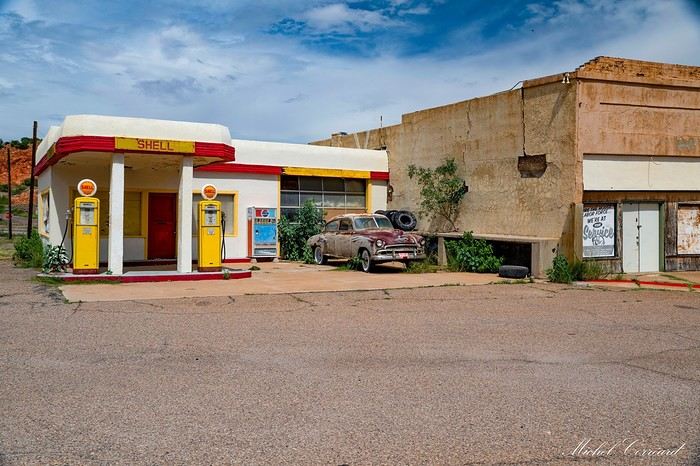
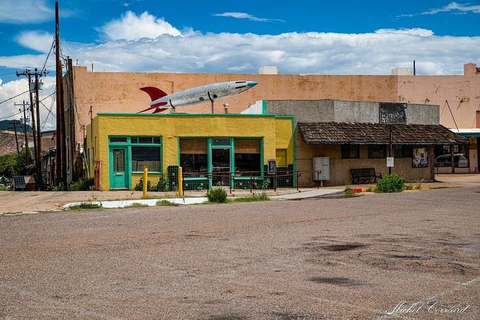
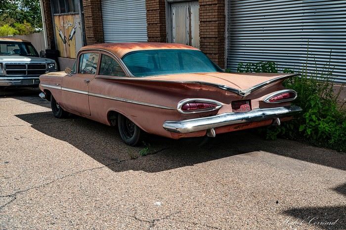
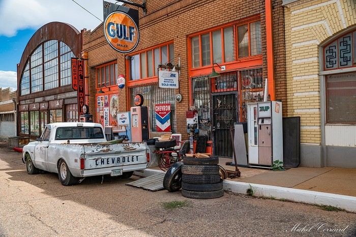
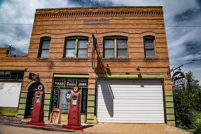
Erie Street, its main drag, is a riot of color. It’s lined with vintage cars, vans, and buses in great condition, parked there like they’re waiting for their drivers to come back.

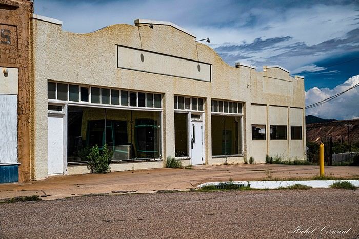
 The street feels frozen in time, with signs, buildings, and shops from the mid-20th century in excellent condition.


 There’s even a vintage gas station.
 A guaranteed trip down memory lane—so nostalgic!
 It’s an emerald festival all the way to the park entrance.
Chiricahua National Monument
As I mentioned, I’d long hesitated to include it in our road trip because of the detour, which added 100 km to an already long day. But the reviews and photos from those who’d visited luckily changed my mind.
What a lovely discovery this park is—so different from everything we’d seen so far on our U.S. travels.
Just after passing the park entrance, two little deer cross in front of the car.
This park, on the land of the Chiricahua Indians, is a gem. The first rocky spires—the Organs Pipe Rock formations—appear even before the entrance.
 After the visitor center, as soon as we start the 12 km of the Scenic Drive, it’s one stunning pinnacle after another—each more beautiful and impressive than the last, whether for their shape or their balancing act. Rain and erosion of these volcanic rocks have created this army of stone pillars reaching toward the sky. We stop at the different viewpoints: Organ Pipe, See Captain Rock, China Boy Rock.
 At every stop, we’re blown away by these beautiful red rock formations in the grassy hills.
 The nose isn’t left out—we’re among the pines, and it smells wonderful, like resin. The rock formations disappear as the scenic road climbs up the mountainside toward Massai Point. On the left, a deep, beautiful canyon. 22°C, 21°C, 20°C— the higher we go, the more the thermometer drops. We do the Massai Point Nature Trail loop (easy and short, 800 m, 30 minutes clockwise) with its viewpoint offering a stunning panorama of the armies of stone pillars covering everything, from the steep peaks to the canyon floors.

 Then, after getting back in the car, we head toward Echo Canyon to walk quietly to the caves right in the heart of the formations (1 km round trip, 30 minutes).
 The trail winds between formations of all colors and shapes until we reach the caves.
 We stroll through the piles of rocks with great pleasure.
 Once again, I had fun with the shapes of the rocks. It’s sublime.
Well, we don’t want to leave, but we have to head back!
Lordsburg is still almost 150 km away, and on top of that, we’ll have to set our watches forward an hour when we reach New Mexico.
 We admire two more little deer before leaving the park without having seen any coatis, though they’re present in Chiricahua. Then we retrace our steps before taking that endless road that roller-coasters through the hills. We pass by Cochise Lake, completely dried up. We make a quick stop at Dwayne’s Fresh Jerky, a gas station where you can buy really good flavored pistachios at unbeatable prices. Finally, Lordsburg comes into view.
We’re hungry, so hungry!!! Lunch feels like ages ago. We want to find a Mexican restaurant—we *are* in New Mexico, after all. We ask the receptionist. It’s Sunday, and Lordsburg has just over 2,200 souls. What a disaster!!! Everything’s closed except for one fast-food place!!! And not just any fast-food place!!! You guessed it!!! With six road trips in the U.S., this is the first time we’ve eaten at McDonald’s. It was either that or go to bed with our stomachs growling—the choice was easy!!!
What a magnificent day. Once again, this country has treated us to its sublime landscapes.
 It’s to raise awareness about overconsumption and recycling. I’ll share this one with you since I can’t offer you a real one.
A very interesting visit to the New Mexico Farm & Ranch Museum. We discover, among other things, the agricultural history of New Mexico through artworks, photos, and reconstructions of how the first inhabitants lived before and after the arrival of colonizers. Outside, there’s an exhibit of old farming equipment and a small farm with a few animals. It’s really comprehensive and should appeal to those with kids—and even to others. There’s even a historic bridge. We’ll have our picnic in the shade of the pistachio trees.
 After that, we head to Stahmann’s pecan farm to stock up on pistachios while driving past pistachio orchards. Unfortunately, the factory has been closed to sales for two or three years.
We cross the Rio Grande, which we find almost dry.
 Quick photo of the World’s Largest Chile Pepper.
 After that, we head to the hotel to drop off our luggage. I wonder how people travel without checked baggage. Between the suitcases, backpacks, grocery bags, cooler, and camera gear, we’re like real gypsies. Don’t worry, everything fits into two suitcases and two backpacks for the flight.


 Basilica of San Albino de Mesilla, which was unfortunately closed, so we couldn’t visit inside.
 Plus, the weather is nice—it’s really pleasant.
Excellent meal at La Posta (a stagecoach relay turned restaurant) in a stunning setting for a more than reasonable price (81 dollars for two huge Mexican plates and two margaritas), and way better than our McDonald’s from yesterday.
Tomorrow, we’re off to Alamogordo and White Sands Dune.
 - Let’s stay positive—this means we’ll arrive earlier at White Sands. Only a few kilometers left when we hit a carport with a red light where a line of cars make a brief stop. It’s the US Border Patrol checkpoint. Our turn comes. The officer asks if we have a visa. We tell him we have an ESTA. He wants to see it. Oh no, it’s in the suitcase. He sends us to the side to look for it. The trunk is big, but the suitcase is easily accessible. Once we have it and approach to show him, he yells from a distance, "Bonjour " and waves us on. Border Patrol checks are frequent here since the Mexican border isn’t far, so it’s wise to keep everything within reach.


 We move at a good pace; it’s still easy. Since there’s no wind, the red stakes are highly visible, and we follow this safety line.
 From the top of each dune, it’s like a treasure hunt in the sparkling sand, searching for the next stake to show us the way, alternating between small climbs and descents with flat sections in between.

 It’s so much fun. Everything around us is white no matter where you look, with the occasional little plant peeking out. In the distance, the mountains, that intense blue sky, and a few clouds.
 We admire the wind’s work, creating little sand sculptures here and there. It’s breathtaking.

 Around 5 PM, rain and thunder—luckily, we’re safe in the hotel. We’ve been lucky with the weather. We don’t feel like going out. We stay in the room, content with tea and cake after the ice cream we had earlier in the afternoon.
Tomorrow, we’ll see if the little green men are still in Roswell.


 Kit Carson was also its commander during the American Civil War. It later served as a hospital for merchant marine tuberculosis patients and then as an internment camp during World War II (Japanese, German prisoners, Japanese-American families). All these white buildings in the greenery are lovely, and these names we’ve known since childhood bring back great memories.
 So, we settled for photographing the few historic buildings that were already there when Mac Garret was chasing Billy the Kid and other bandits roaming the town (defense tower, old houses, San Juan church).
 El Torreon (1850) to protect the town from Apache raids.
 Mission San Juan Church



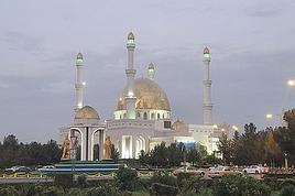
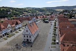
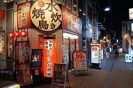
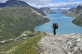




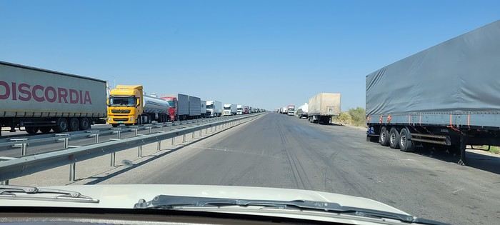
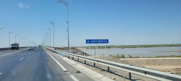
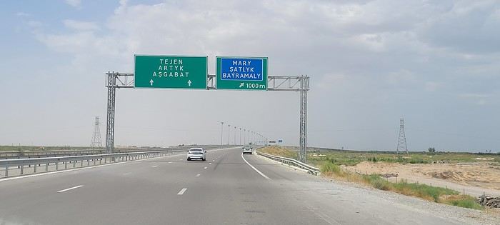
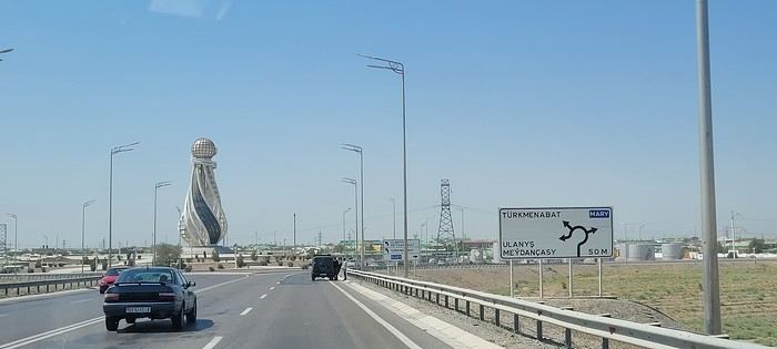
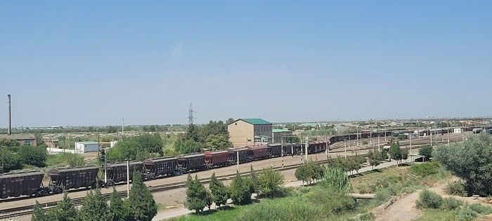
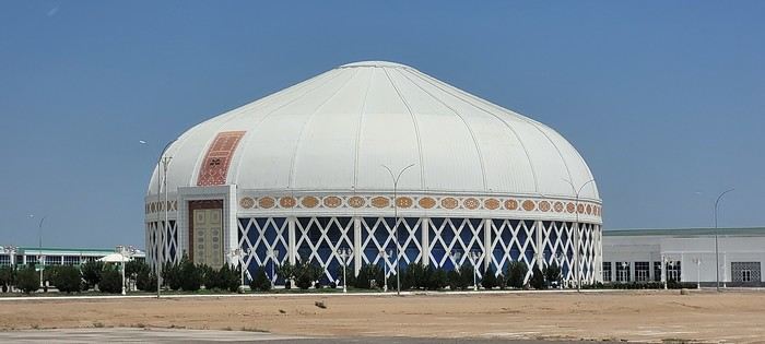
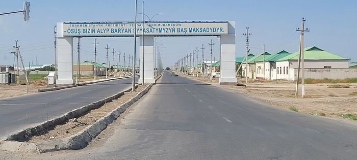
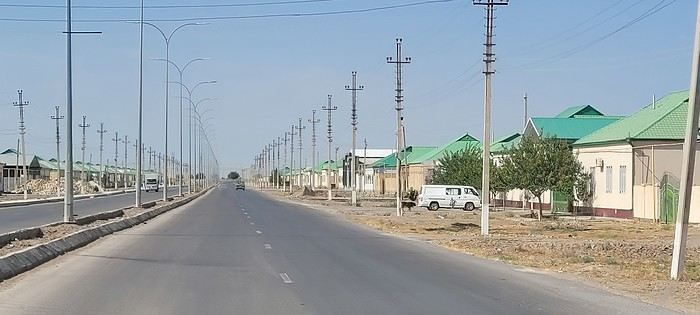 Roundabouts are particularly interesting because they feature emblems of Turkmen culture, like the dog, a carpet, the Ahal Teke horse, or Muslim symbols, even though the presence of Islamic artifacts is quite limited.

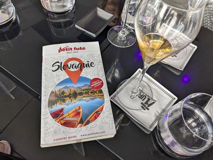 Why this country?
After visiting Hungary, Slovenia, Romania, and Poland in recent years, I’ve fallen in love with Eastern European countries. I adore the Slavic soul, its Austro-Hungarian villages, the gentle landscapes, the Carpathian Mountains, and that slightly mysterious atmosphere.
Slovakia evokes a certain imagination with its deep forests, medieval castles, and cobbled villages.
After seeing photos of the High Tatras—especially Lake Štrbské Pleso and Spiš Castle—I thought, "Let’s do it! We’re going!"
So, will Slovakia live up to what I imagine?
We’ll find out together.
We decided to travel as a group of six (five adults and a six-year-old child), by car (we needed two).
Here’s the day-by-day itinerary for this family trip, which started with a 3-day stay in Vienna (see the dedicated travel journal):
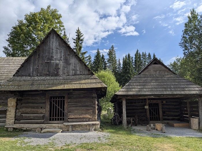

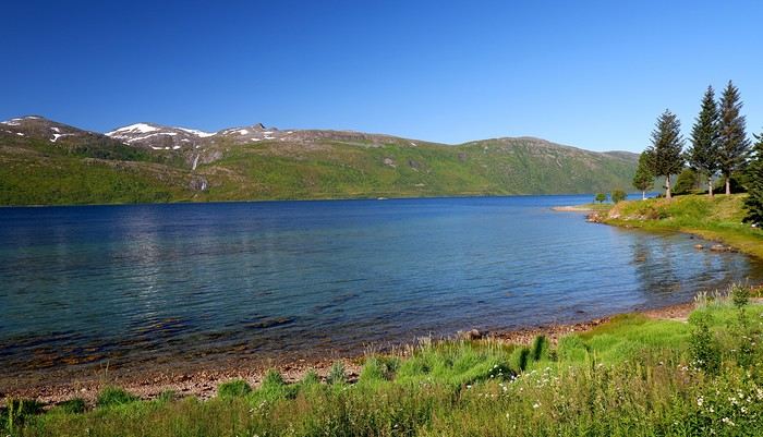
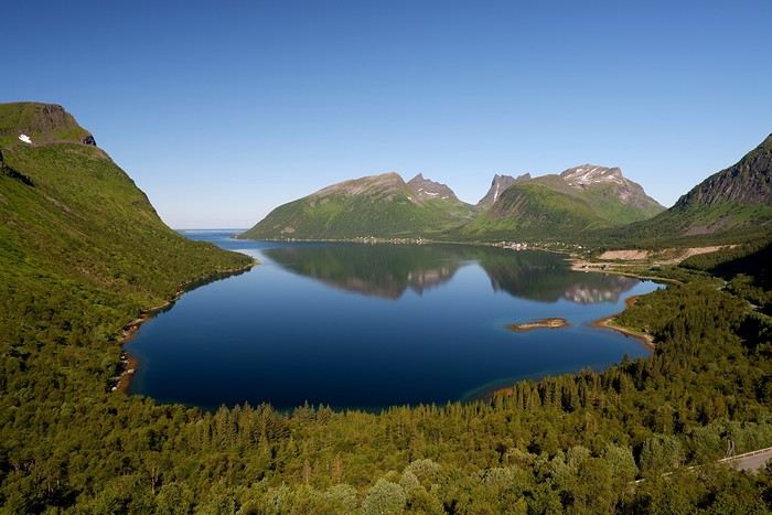
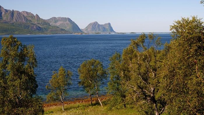
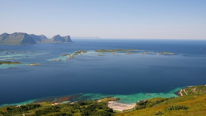
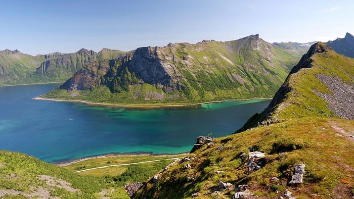
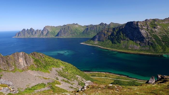
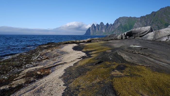
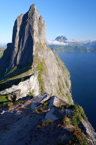
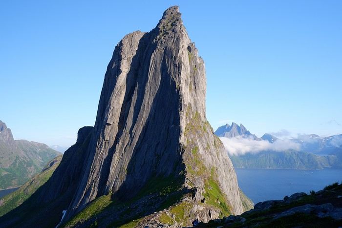
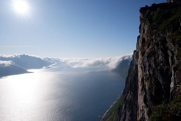

 When it comes to the Caribbean island of Saint-Martin, it's customary to praise its coastline and dreamy beaches—and they certainly deserve it.
But in this story, I’d like to highlight other memories, aspects, and impressions for a slightly different change of scenery.
Enjoy the read—some text and, above all, lots of photos.
« Byenveni sou zile Sen Maten! » (Welcome to the island of Saint-Martin)
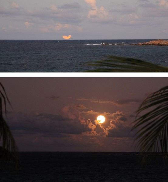
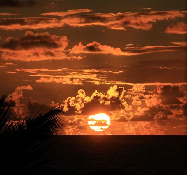
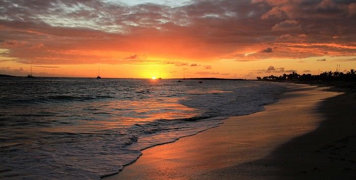
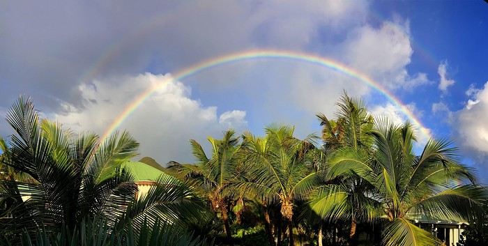
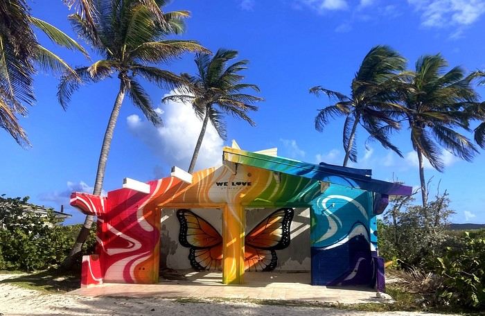


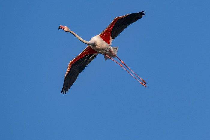
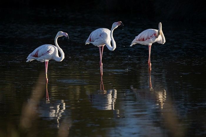
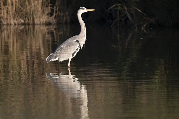
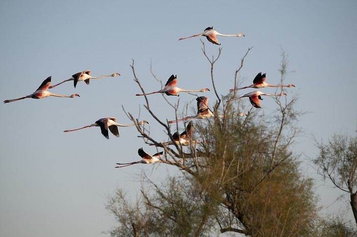
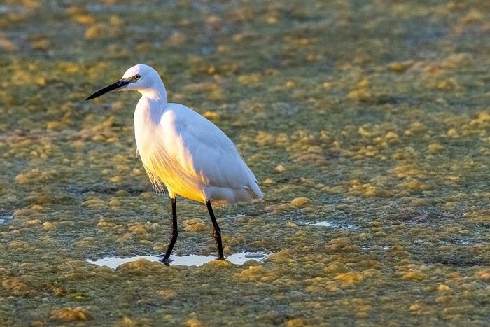


 Come along, I'm taking you to this country where it's so nice to wander and slow down...

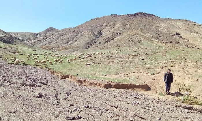
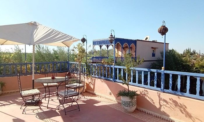
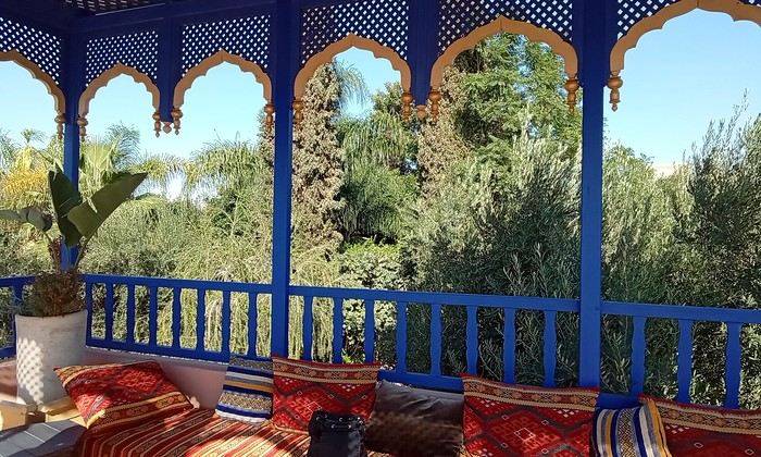 Last October, we landed in Marrakech to spend a few days with family exploring Morocco’s roads.
Transport: a rented Dacia.
Accommodations: small guesthouses.
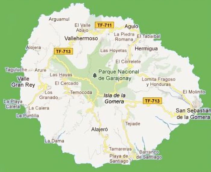 The large solidified magma massifs that shape the heart of the island have created a large depression more protected from the sun at its center, allowing the growth of a vast laurel forest, today grouped within the Garajonay National Park, La Gomera’s green lung, which has earned it the status of a World Biosphere Reserve. Its completely European appearance contrasts sharply with the rocky and tropical landscapes of the rest of the island. Thus, the climate varies greatly from one point to another on the island: in summer, you can quickly go from a dry and sunny valley at 35°C to a humid forest area at altitude at 18°C.