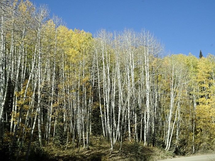
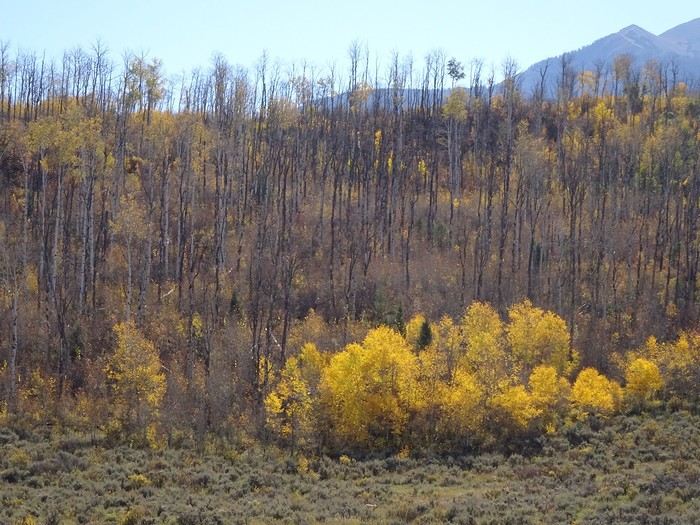
 Some are completely bare now, and even though the road is still stunning, it doesn’t give us the same “Wow” as on the way there. That doesn’t stop us from stopping to take more photos—some spots are still absolutely gorgeous.
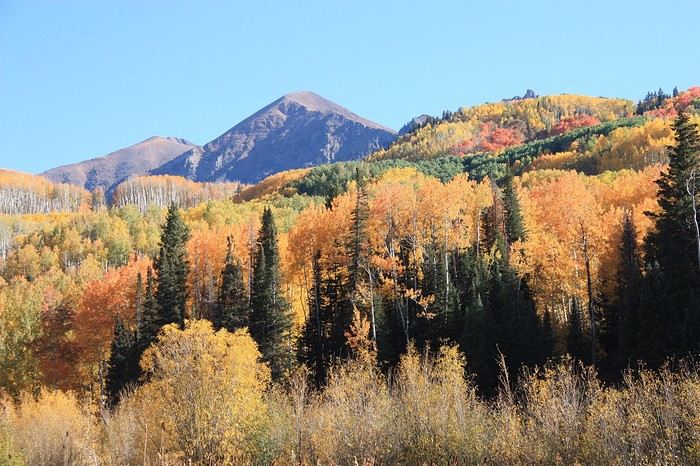
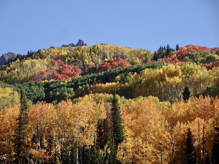
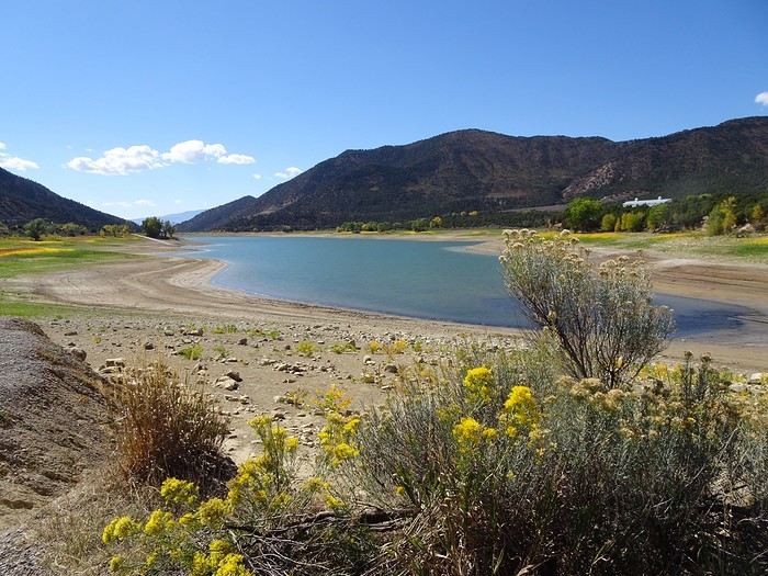
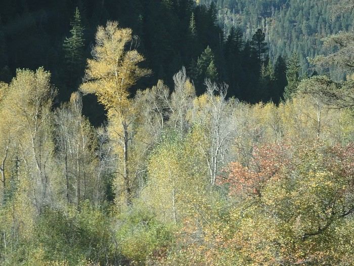 DD is thrilled to leave the dirt road for the asphalt of the West Elk byway. We drive alongside a nearly dry dam for kilometers, with the river reduced to a tiny stream.
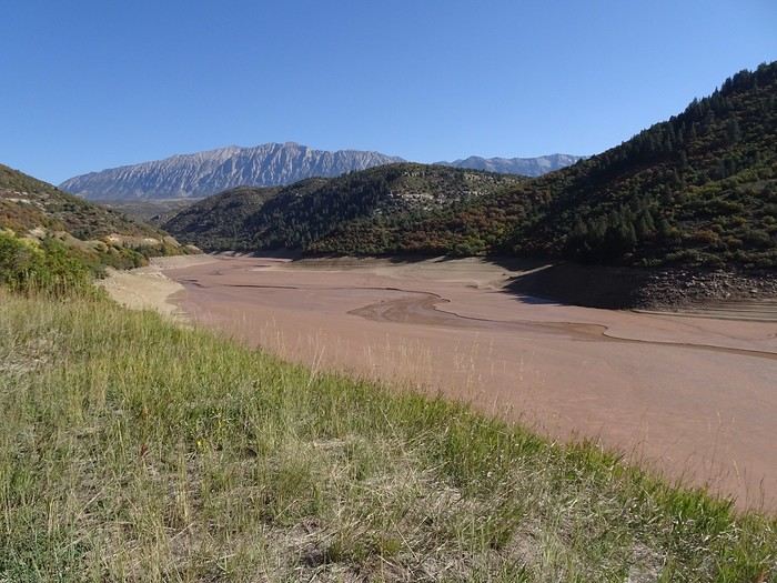 Seeing the distance between the two banks, you can’t help but worry about the drought. This road is breathtaking, winding between mountains and valleys.
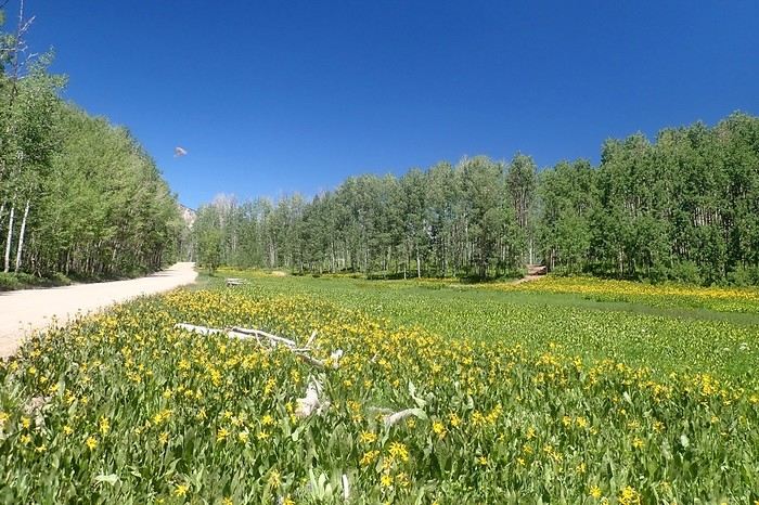
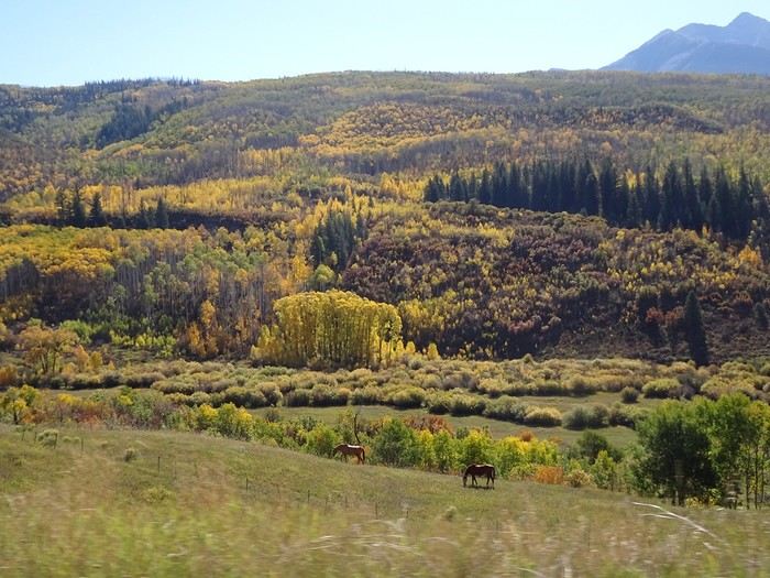 It offers us even more stunning views after Mac Clure Summit—a beautiful mosaic of greens and yellows that would make any painter envious!
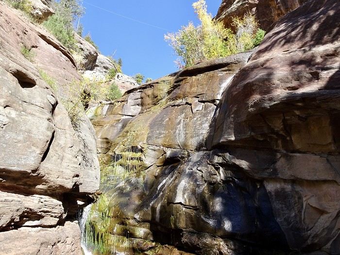
 Quick stop at Hayes Creek Falls (right by the road).
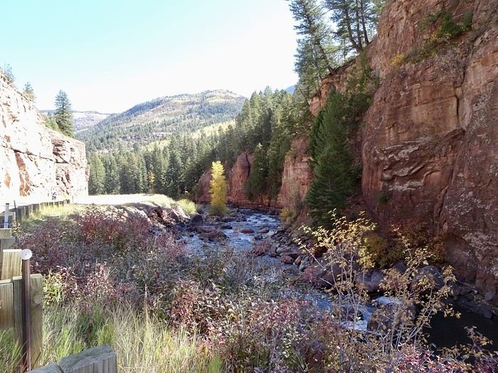
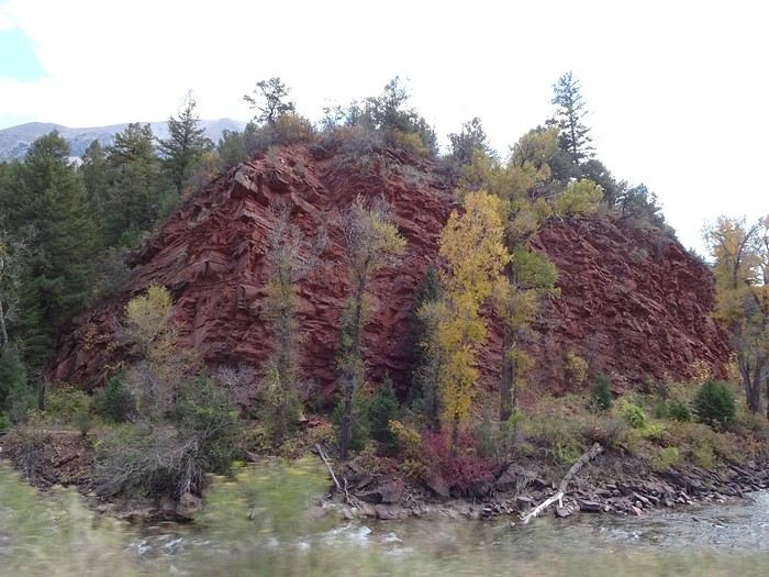
 On the other side of the Crystal River.
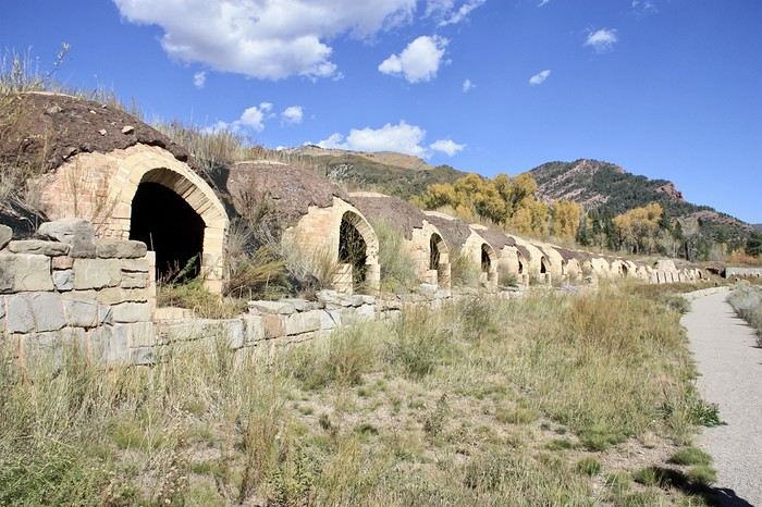 The back of the ovens
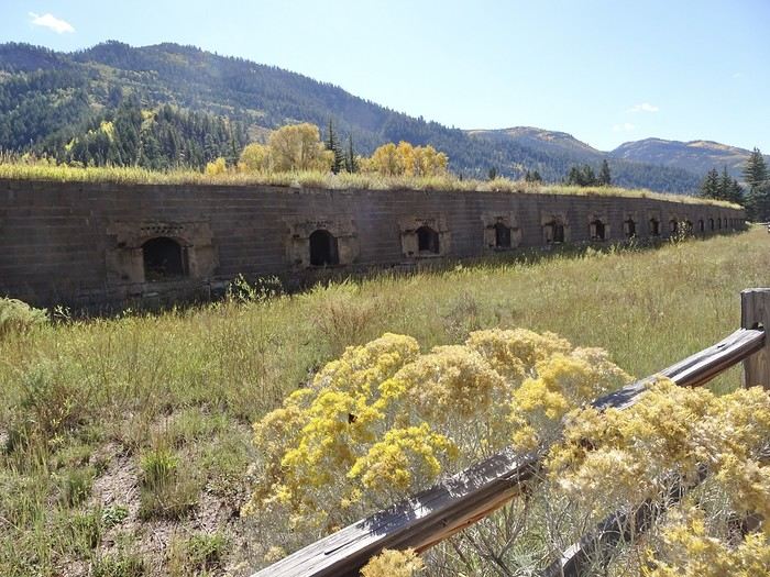 The coal from the surrounding mountains was ideal for turning into coke, but less than 10 years later, the mines closed (I won’t tell you why because I don’t know!!), and the ovens fell into disuse.
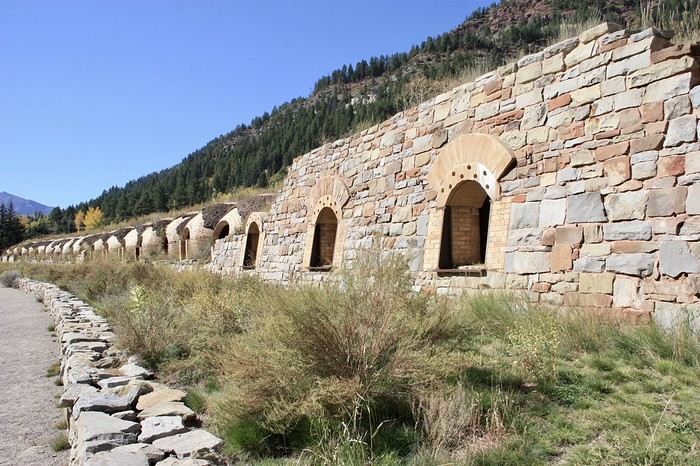
Many deteriorated, others were looted, but 90 ovens are still relatively intact, and some have been restored to their early 20th-century state to preserve the memory of a time when life was incredibly tough for both people and animals.
When in operation, the ovens were surrounded by stones like this
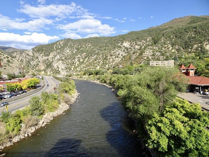 and the famous large hot springs pools the town is known for.
I’d kind of planned to spend a few hours there the next day, but seeing the crowds from the bridge, we decide to skip it and visit a small state park about 45 km north of the city instead.
A little more nature will be welcome to enjoy our last few days.
After that, some relaxation in the hot tub before dinner.
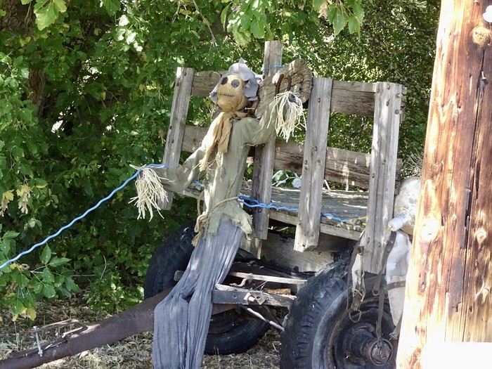
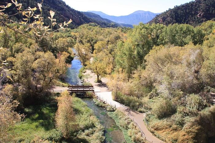
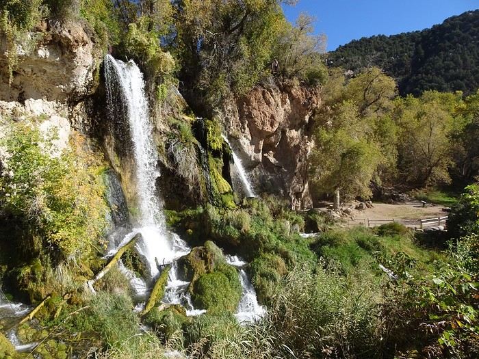
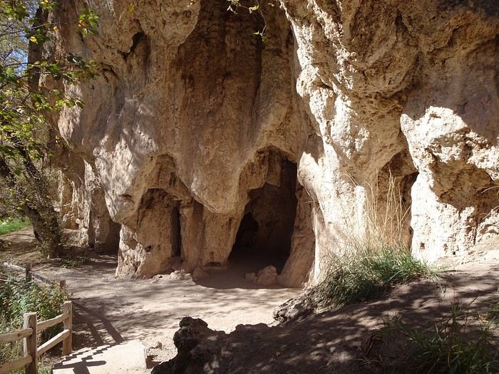 The master of the place (a face appeared when we looked at the photos).
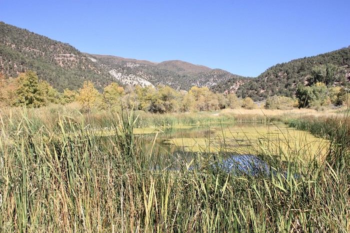
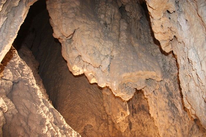 And two small ponds.
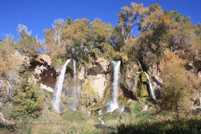
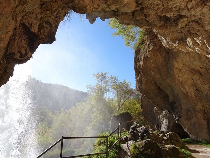
 Before reaching the top of the falls, where viewpoints are set up so we can see them from different angles.
We return downhill via a trail reinforced with wooden steps. This little walk is easier in a counterclockwise direction, and the place is really worth the trip.
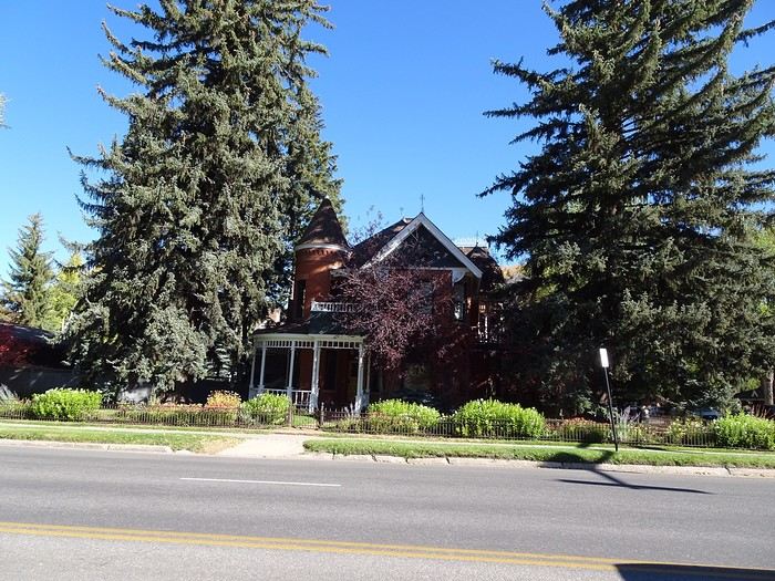 but didn’t stop—our failed Telluride experience left us a bit cold about towns that are too fancy for us. We spotted a whole flock of geese on a golf course, likely stopping over during their long migration. Too bad they weren’t in flight.
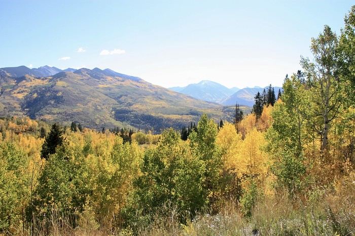
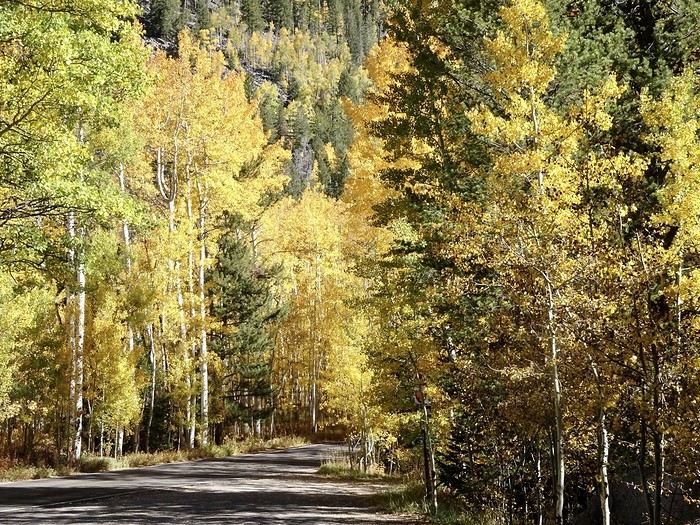
We found those lovely autumn colors again on the pretty, narrow road leading to the pass.
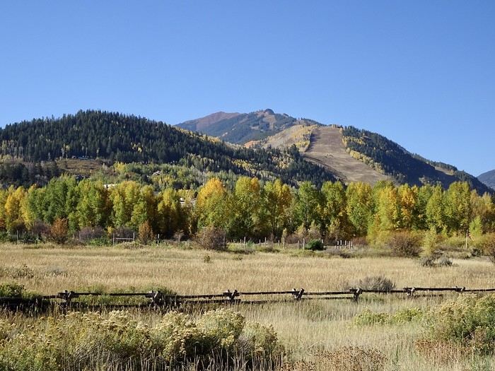
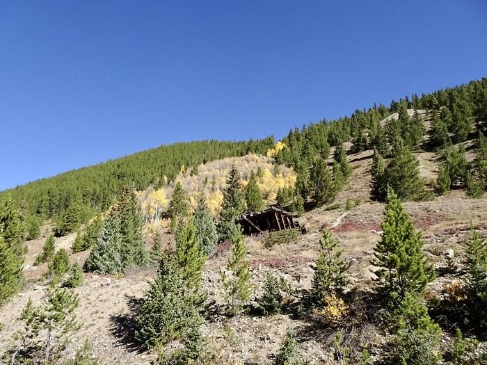
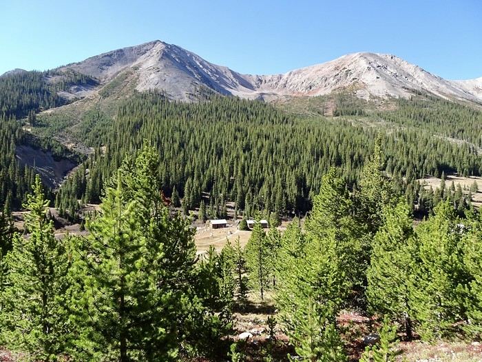 We didn’t go down into the valley to explore—just admired it from the viewpoint.
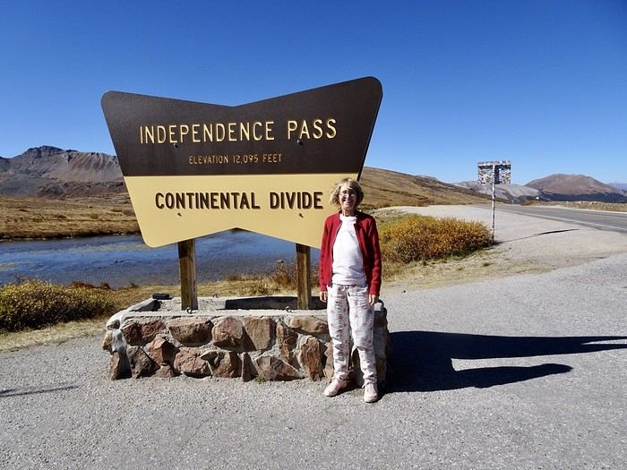
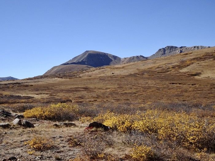
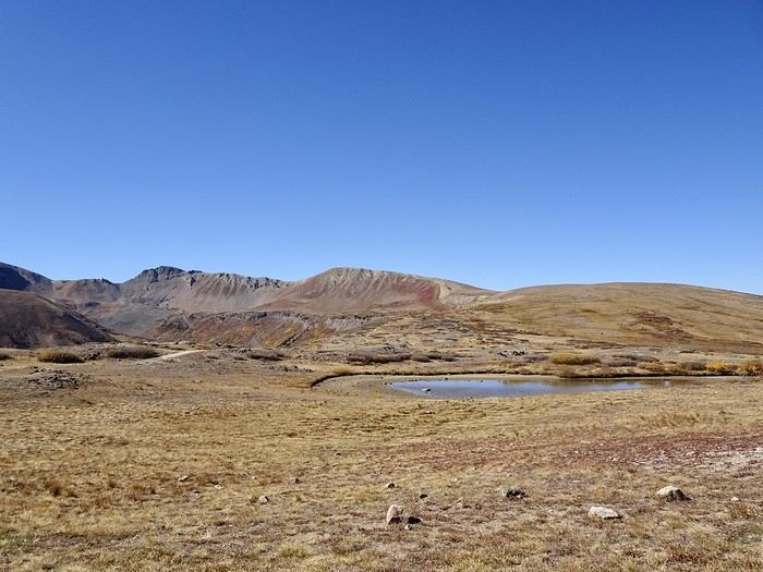 and took in the surrounding peaks
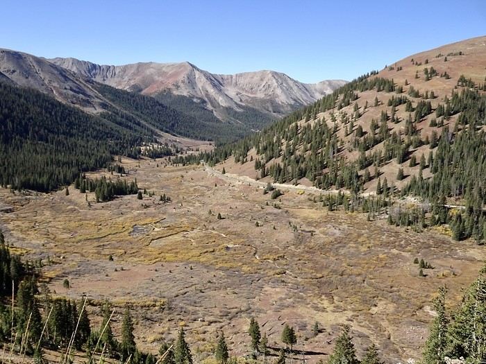 before continuing toward Twin Lakes
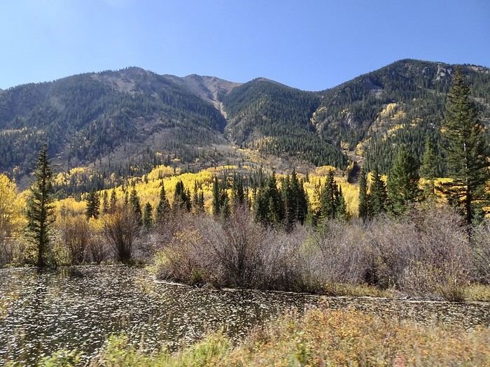
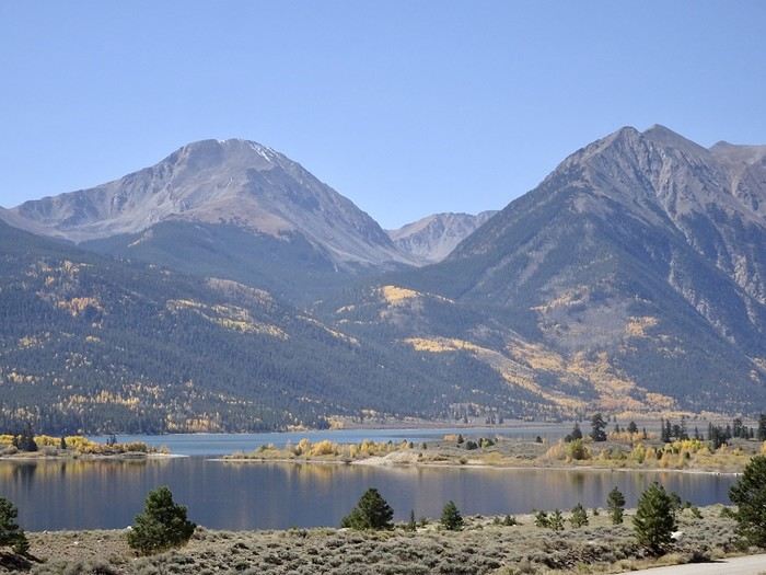
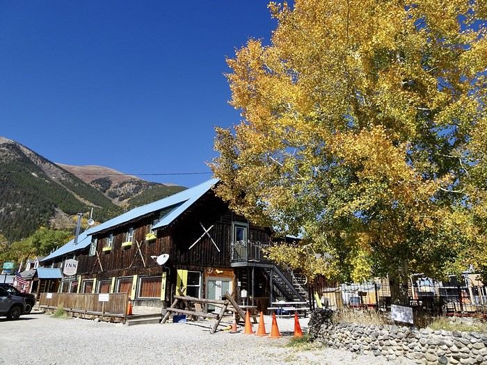 The road continues along the Arkansas River through valleys and plains with large herds, ranches, and old barns.
Leadville, where you can see the charming chaos of this former mining town and its historic buildings.
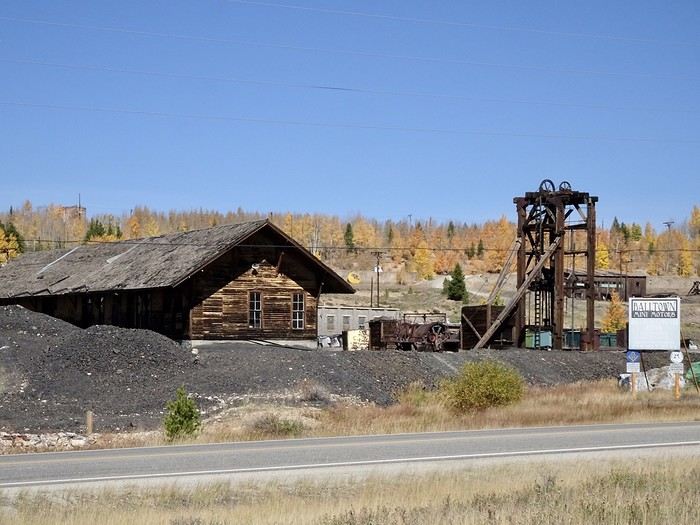 We tackle Fremont Pass and its gently sloping mountains before hitting I-70.
By 2 p.m., we’re in Georgetown.
Honestly, taking this route to get to Georgetown was a great choice, even if it was longer. This beautiful state of Colorado gave us one last gift by offering us stunning landscapes once again.
A quick visit to this cute little town, with lovely buildings—maybe a bit too quiet (I love seeing the younger generations wandering around!!!).
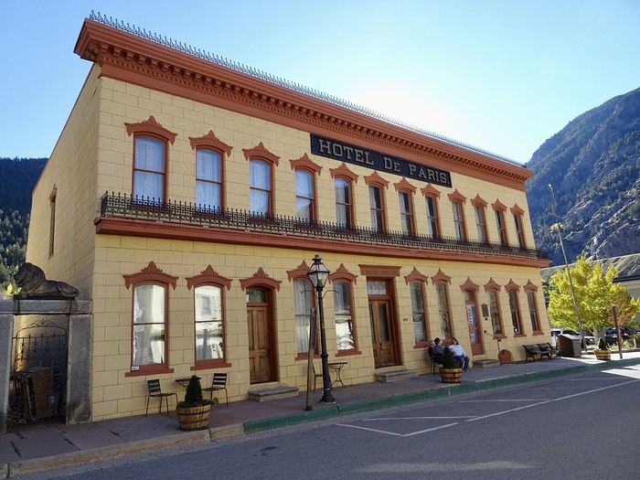
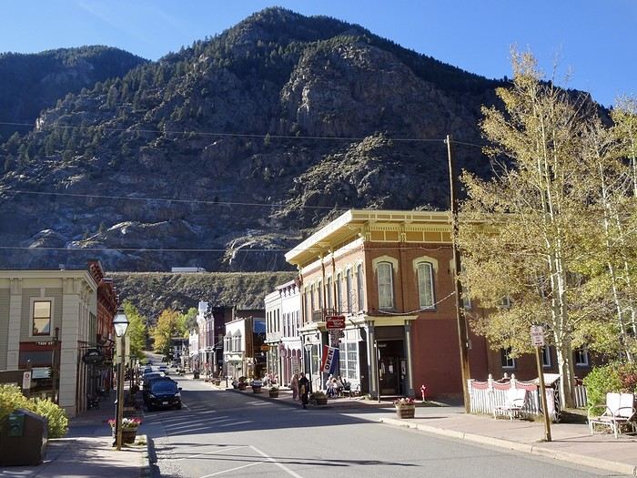 Not many Halloween decorations yet, except at the tourist attraction Georgetown Loop Railroad.
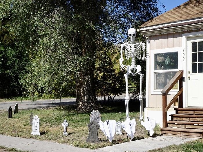
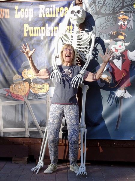
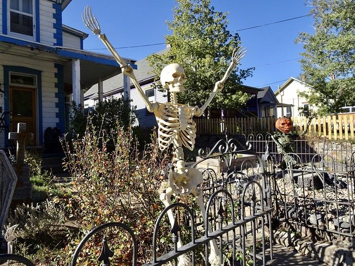
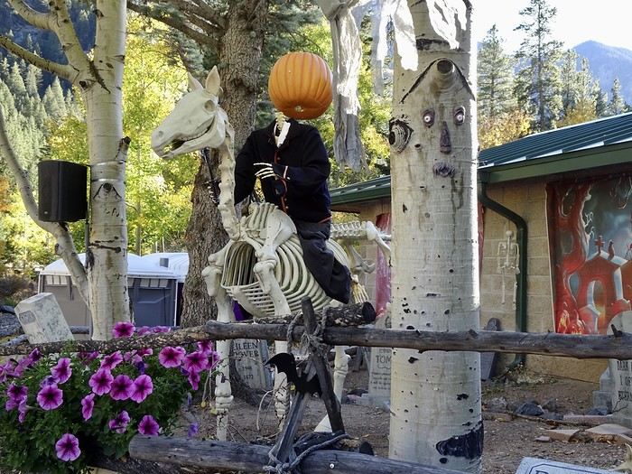 Help, I’m being attacked by a skeleton!
 The suitcases are packed, last dip in the hot tub before walking to dinner at the friendly and delicious Cooper’s on the Creek, and now we’re ready for our last night in Colorado 😢
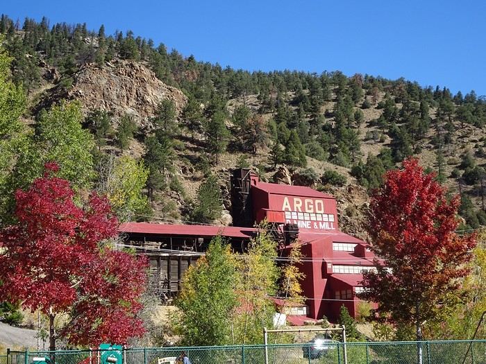
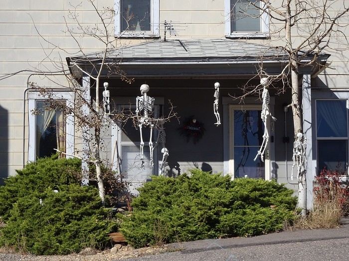
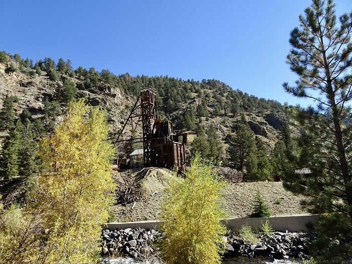 and look for a spot to walk around downtown since we see lots of houses decorated for Halloween. The big kids we are just love it!!!!
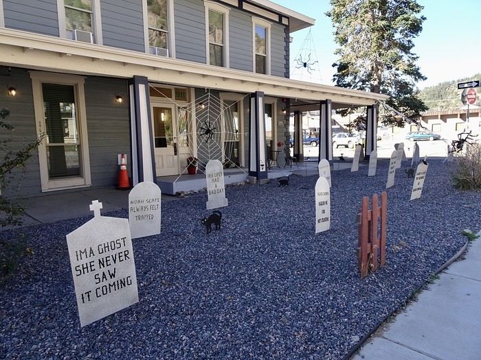
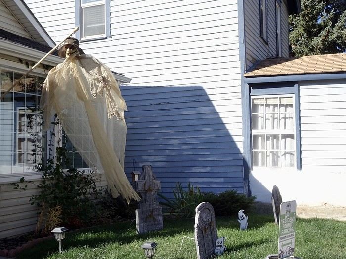
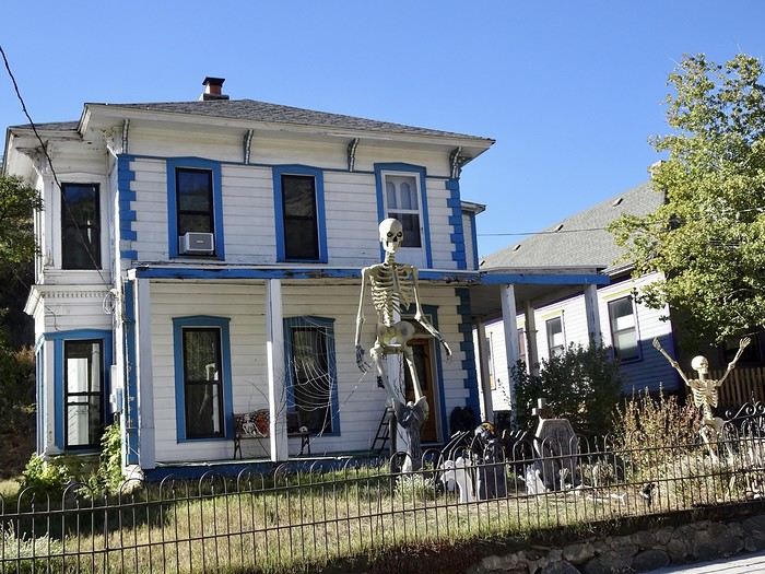
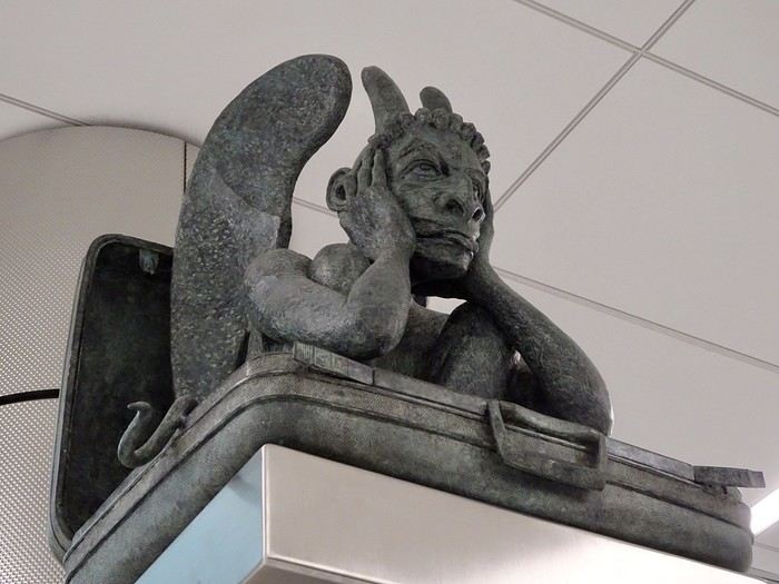
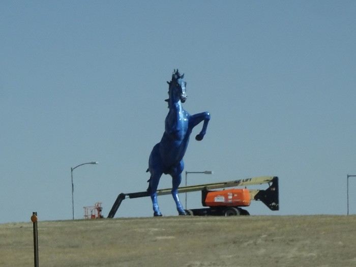 I looked for the apocalyptic murals inside the airport (we’d seen them on our last trip), but since it was under construction, they weren’t visible, and all I found were some gargoyles.

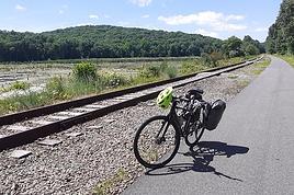
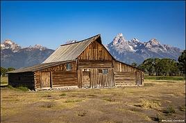
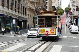





Hello,
Following our trip on the Great Divide Mountain Bike Route this summer, we’re sharing our experience in this travel journal.
We’re Richard and Bernadette, both 64 years old, and we’re gravel bike-packing cyclists.
We’ve completed several gravel bike trips in France and neighboring countries, and Richard has also done some in South America.
We left on July 22, 2026, from Geneva to Calgary via Frankfurt with our bikes carefully packed in boxes, and we returned on October 8 from El Paso to Geneva via Chicago and Frankfurt.
The GDMBR is a mountain route that closely follows the Pacific/Atlantic continental divide, starting in Banff, Canada, and ending at the Mexican border in Antelope Wells, New Mexico. This crossing of the American West is one of the longest mountain biking routes in the world, winding through wild valleys, mountain ranges, and desert plateaus. It stretches about 4,400 km with a total elevation gain of around 60,000 m. The average altitude is 2,000 m, and the highest point reaches 3,600 m. The route is 80% off-pavement (gravel roads, dirt, and a few trail segments). It’s also known for the annual Tour Divide race, which brings together the best riders in the discipline every June and follows roughly the same route.
We prepared for this trip over several months, using a few websites and an older guidebook (the 2013 English edition).

With this, we were able to organize our journey with as much information as possible, a GPS track, and gear suited to the weather conditions, terrain, and sparse resupply points in remote areas.
Once we arrived in Banff, we picked up bear spray to handle a particular challenge: the wildlife we weren’t familiar with.

After landing in Calgary, we assembled and equipped our bikes at the airport. That first evening, we were welcomed by Mike, who invited us to his place when we were looking for a spot to pitch our tent. Then we made our way to Banff over two days, taking a fairly quiet road to Canmore and then a bike path.

A visit to Banff, a charming tourist town in the national park. Its famous Fairmont Hotel.

The starting point of the GDMBR at the arch of this hotel complex.

Here we are, immersed in the wilderness—just a few pedal strokes away from the town, the contrast is striking. Powerful rivers, vast landscapes, and our first encounter with a mule deer.

Spray Lake, our first basic campsite: no showers, dry toilets, no water fountain—we filter lake water. Most GDMBR campsites are like this.


We took the west side of the lake—a longer and wilder route. A few fallen trees blocked the path, forcing us to carry our bikes. But the stunning landscapes made it all worth it!

Our first single track through a forest marked by past wildfires.


Most campgrounds have tables and metal fire rings for safe campfires, which makes setting up camp much easier—especially nice after a long, tiring day! During this trip, we mostly slept in our tent, either in established campgrounds or wild bivouacs.
To be continued...
The GDMBR is a mountain route that closely follows the Pacific/Atlantic continental divide, starting in Banff, Canada, and ending at the Mexican border in Antelope Wells, New Mexico. This crossing of the American West is one of the longest mountain biking routes in the world, winding through wild valleys, mountain ranges, and desert plateaus. It stretches about 4,400 km with a total elevation gain of around 60,000 m. The average altitude is 2,000 m, and the highest point reaches 3,600 m. The route is 80% off-pavement (gravel roads, dirt, and a few trail segments). It’s also known for the annual Tour Divide race, which brings together the best riders in the discipline every June and follows roughly the same route.
We prepared for this trip over several months, using a few websites and an older guidebook (the 2013 English edition).
With this, we were able to organize our journey with as much information as possible, a GPS track, and gear suited to the weather conditions, terrain, and sparse resupply points in remote areas.
Once we arrived in Banff, we picked up bear spray to handle a particular challenge: the wildlife we weren’t familiar with.
After landing in Calgary, we assembled and equipped our bikes at the airport. That first evening, we were welcomed by Mike, who invited us to his place when we were looking for a spot to pitch our tent. Then we made our way to Banff over two days, taking a fairly quiet road to Canmore and then a bike path.
A visit to Banff, a charming tourist town in the national park. Its famous Fairmont Hotel.
The starting point of the GDMBR at the arch of this hotel complex.
Here we are, immersed in the wilderness—just a few pedal strokes away from the town, the contrast is striking. Powerful rivers, vast landscapes, and our first encounter with a mule deer.
Spray Lake, our first basic campsite: no showers, dry toilets, no water fountain—we filter lake water. Most GDMBR campsites are like this.
We took the west side of the lake—a longer and wilder route. A few fallen trees blocked the path, forcing us to carry our bikes. But the stunning landscapes made it all worth it!
Our first single track through a forest marked by past wildfires.
Most campgrounds have tables and metal fire rings for safe campfires, which makes setting up camp much easier—especially nice after a long, tiring day! During this trip, we mostly slept in our tent, either in established campgrounds or wild bivouacs.
To be continued...

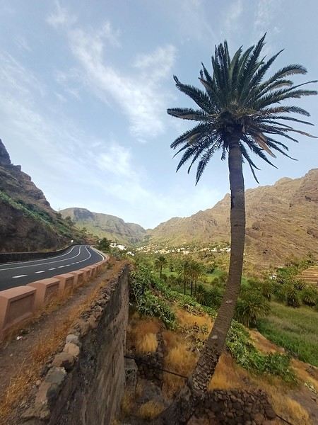
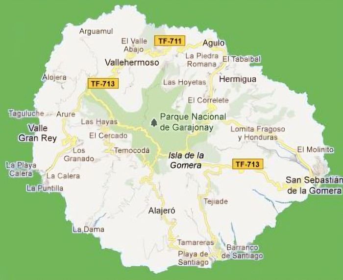 The large solidified magma massifs that shape the heart of the island have created a large depression more protected from the sun at its center, allowing the growth of a vast laurel forest, today grouped within the Garajonay National Park, La Gomera’s green lung, which has earned it the status of a World Biosphere Reserve. Its completely European appearance contrasts sharply with the rocky and tropical landscapes of the rest of the island. Thus, the climate varies greatly from one point to another on the island: in summer, you can quickly go from a dry and sunny valley at 35°C to a humid forest area at altitude at 18°C.







































 Roundabouts are particularly interesting because they feature emblems of Turkmen culture, like the dog, a carpet, the Ahal Teke horse, or Muslim symbols, even though the presence of Islamic artifacts is quite limited.



 Why this country?
After visiting Hungary, Slovenia, Romania, and Poland in recent years, I’ve fallen in love with Eastern European countries. I adore the Slavic soul, its Austro-Hungarian villages, the gentle landscapes, the Carpathian Mountains, and that slightly mysterious atmosphere.
Slovakia evokes a certain imagination with its deep forests, medieval castles, and cobbled villages.
After seeing photos of the High Tatras—especially Lake Štrbské Pleso and Spiš Castle—I thought, "Let’s do it! We’re going!"
So, will Slovakia live up to what I imagine?
We’ll find out together.
We decided to travel as a group of six (five adults and a six-year-old child), by car (we needed two).
Here’s the day-by-day itinerary for this family trip, which started with a 3-day stay in Vienna (see the dedicated travel journal):















 When it comes to the Caribbean island of Saint-Martin, it's customary to praise its coastline and dreamy beaches—and they certainly deserve it.
But in this story, I’d like to highlight other memories, aspects, and impressions for a slightly different change of scenery.
Enjoy the read—some text and, above all, lots of photos.
« Byenveni sou zile Sen Maten! » (Welcome to the island of Saint-Martin)






































 Come along, I'm taking you to this country where it's so nice to wander and slow down...










