Preamble: Why La Gomera?
When we started looking for a summer destination a few months ago, our first criterion was to avoid extreme heat and heatwaves. We had already been to Norway two years ago and are considering going back in the future for other occasions. So, we had some fun asking ChatGPT which destinations enjoyed a mild climate during the summer without going too far. Among the list provided by the AI were the Canary Islands... The idea of a place we wouldn’t have thought of first, both not too far away and exotic enough, appealed to us: “Hmm, why not?”
This destination had never really attracted me, though Magali was a bit more interested. Five years earlier, COVID had caused a short break in my professional activity, and I had planned a trip because the flight price was attractive, and I was looking for a destination different from what usually appeals to me, more than out of deep interest. From a distance and with a social judgment I acknowledge (it’s not great, but it’s not completely wrong), I had the image of a destination for party-goers enjoying the sun without the slightest interest in local culture, with concrete coastlines and denatured landscapes—everything I detest the most. Still, I had done some quick research on the different islands and spotted Lanzarote for its beautiful volcanic landscapes, hiking trails, beaches, and the impression of a good balance between activity and fewer crowds than Tenerife or Gran Canaria. Then I dropped the idea of going, without ever reconsidering traveling to the Canaries...
Until now! Because we started researching the different islands of the archipelago to see which ones might appeal to us the most. It was La Gomera, the third smallest island of the archipelago, more praised for its hiking trails and preserved nature than for its beaches, away from mass tourism (fifty times fewer tourists than Tenerife) but still a bit more developed than its wild neighbor El Hierro, that caught our attention. Contrary to what might be suggested later, I’m not at all addicted to AI, but I use it from time to time to synthesize quick research or simply for experimentation. Since ChatGPT had started anticipating my tastes lately as if it had become my buddy (often successfully, sometimes off the mark), I asked which Canary Island would suit me best for a trip with my family. The tool answered first with... La Gomera. So, I tested it and teased it a bit to see if this suggestion was well-founded, as the method sometimes makes it contradict itself. But no luck: “You’d appreciate the wild nature of El Hierro, but with family, you’ll find little activity for the kids. You won’t like the touristy vibe of the big islands like Tenerife, Gran Canaria, Lanzarote, and Fuerteventura. You could consider La Palma, but it’s really La Gomera that will suit you best, based on your interests and the criteria given.” So, we dug deeper into our research and were convinced without a shadow of a doubt that this island was the one waiting for us.
Without knowing it, we had Canarians in our circle who revealed their origins when they heard about our travel plans. One from Tenerife insisted we’d be better off choosing Tenerife (obviously...) because it also has preserved spots and that La Gomera, “you can explore it in two or three days, you’ll get bored quickly...” The other, a colleague from Gran Canaria who had never visited La Gomera, still recommended it without hesitation because it turned out her parents had just gone there on vacation: they loved it and had encountered few tourists. She also tended to think this destination was usually the subject of short stays, but according to what her parents told her, taking your time there was also a great idea. However, in our research, the idea that La Gomera is an island you can explore in three or four days max kept coming up. So, we considered combining its visit with La Palma or El Hierro, the other two that caught our eye. But hopping between islands by ferry represents a significant budget for non-Canarians, even more so for a family of four. Then, scrutinizing Google Maps, it seemed obvious that two weeks were too short to discover two islands as they deserve, and that there seemed to be plenty to see in La Gomera, given its very unique culture. After all, we read that some people spend several months a year there, others never even leave... Finally, these landscapes and this atmosphere, which seemed to us a mix of Europe, North Africa, and Latin America, tempted us. So, it would be two weeks in La Gomera, deal!
La Gomera is therefore the second... well, the third smallest island of the Canaries since La Graciosa was recently recognized as a fully inhabited island. It has the shape of a rough circle about 20 to 25 kilometers in diameter and has just over 20,000 inhabitants, half of them in its capital, San Sebastián de la Gomera, the only real town. Like its Canarian sisters, La Gomera is a volcanic formation that rose about 10 million years ago. The island is very mountainous and rugged, covered with red and black rocky landscapes. Geological activity has shaped, between the sprawling massifs that end in steep cliffs in the ocean, six coastal valleys with tropical vegetation that have favored human settlement. They divide the island like slices of a cake; from the north clockwise: the agricultural Vallehermoso, the rustic Agulo, the green, humid, and fertile Hermigua, the sunny capital San Sebastián de la Gomera, the southern and isolated Alajeró-Santiago, and the seaside Valle Gran Rey. They constitute the six municipalities (more like cantons to our French understanding) of the territory.
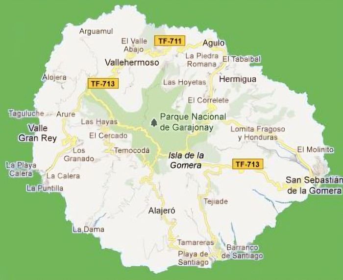
The large solidified magma massifs that shape the heart of the island have created a large depression more protected from the sun at its center, allowing the growth of a vast laurel forest, today grouped within the Garajonay National Park, La Gomera’s green lung, which has earned it the status of a World Biosphere Reserve. Its completely European appearance contrasts sharply with the rocky and tropical landscapes of the rest of the island. Thus, the climate varies greatly from one point to another on the island: in summer, you can quickly go from a dry and sunny valley at 35°C to a humid forest area at altitude at 18°C.
La Gomera was populated late. As with the rest of the Canaries, human presence is thought to have begun about 2,000 years ago. Groups of animist Berbers, probably fleeing persecution, gradually populated the archipelago, especially the western islands and La Gomera, becoming its small aboriginal population: the Guanches (or later Gomeros). The animist and pastoral civilization of the Guanches thrived until the Spanish takeover in the 15th century, which, after a short period of harmony and mixing with the indigenous people, suddenly ended in bloodshed... La Gomera later became the “Columbus Island” after Christopher Columbus’s stopover, increasing the blending of populations. In the 20th century, many Gomeros emigrated to Cuba and other Latin American countries in search of a better life, bringing back a mix of cultures and traits quite palpable in today’s Gomeran culture. It is, however, in La Gomera that the vestiges of Guanche culture seem to have left the most traces, in the language, gastronomy, social practices... Moreover, most Gomeros, especially in remote villages, have a particular identifiable type and proudly claim their ancestral roots, even making La Gomera a bit exotic in the eyes of other Canarians.
Perhaps that’s why it has never really wanted to develop its tourist infrastructure too much. If we set aside the tourists who visit for the day by bus or boat from Tenerife on a marked itinerary (and whom we ultimately rarely encounter), La Gomera has remained a hidden gem, a destination focused on nature discovery that attracts hikers, nature-loving divers, and scientists for its fauna and flora, and to a lesser extent, beachgoers who don’t seek overly developed coastlines. Tourist activity is therefore limited. Roughly speaking, you’ll find a majority of Spaniards, including a substantial number of residents from other Canary Islands, many Germans who have a particular fondness for La Gomera and spend long stays there or own second homes, to the point that the German cultural footprint is clearly noticeable in some places (it’s said to be Angela Merkel’s favorite holiday spot), and still quite a few French. The presence of other nationalities seemed negligible to us. Most travelers come mainly for hiking, but it’s also a prime spot for whale watching. Additionally, the seaside resorts of La Gomera—San Sebastián, Santiago, and especially Valle Gran Rey—are well-known destinations for hippies, especially German ones, ranging from chic boho hippies to old-school hippies who’ve been there for decades, quite similar to those you’d meet in India in Goa, Rishikesh, or Paharganj. Thus, practices like naturism, vegetarianism, and local organic production are quite well established in some areas.
Some practical info:
- The round-trip flight from Paris to Tenerife cost us 365 € per person (outbound with Transavia, return with EasyJet), including checked luggage and three seats reserved side by side.
- We chose two bases to explore the island: one week in Valle Gran Rey, reputed to be the most pleasant of the three seaside resorts, and one week in Hermigua, more mountainous and close to the natural park. We booked two houses with balconies and views: the first at 120 € per night, the second at 99 €.
- The round-trip ferry between Tenerife and La Gomera cost us 270 € with the company Baleària Canarias, including discounts for children aged 4 and 12, but I don’t have the exact details. It was a bit cheaper than with the other company, Fred Olsen.
- Finally, we rented a car through the agency Cicar for 360 € for 16 days, which comes to 22.50 € per day.
- Apart from that, we didn’t plan anything and decided the day before or even the morning of what we wanted to do. We didn’t invest in any paper guide on the Canaries, as information on La Gomera was scarce, but we used the very comprehensive site La Gomera Travel, a travel guide published by the Canary Islands Tourism Council, a real goldmine of almost exhaustive information on the island.
Alright, off we go for 16 days of adventure discovering La Gomera!
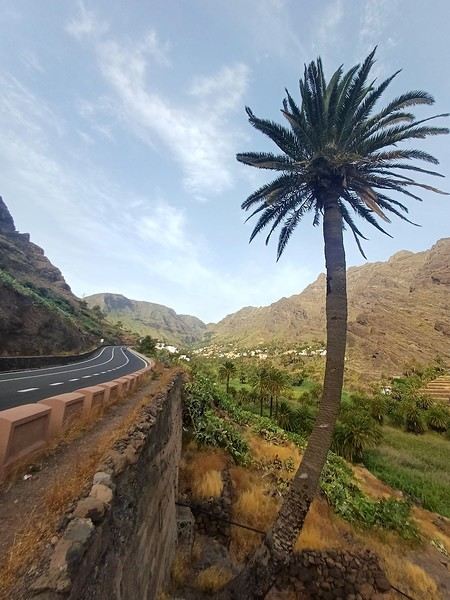
And we start the trip with music!
We start the trip with music!












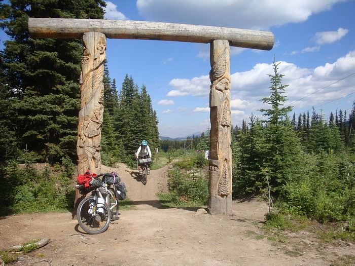 We're leaving Alberta to enter British Columbia via Elk Pass.
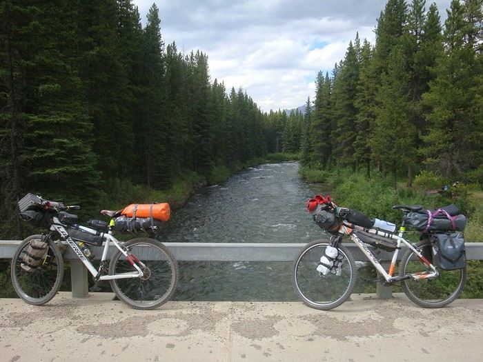 Here are our rides, P'tit Vélo and Tori, two old 26-inch mountain bikes, refurbished (new chain, tires, brakes, etc.) and equipped with waterproof panniers. They weigh 25 and 35 kg when loaded (food, water, etc.).
Less efficient than current bikes, they’re reliable and simple, easy to repair if something breaks down.
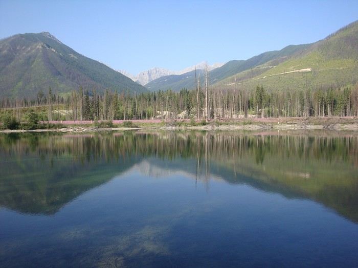 Blue Lake, just before Elkford.
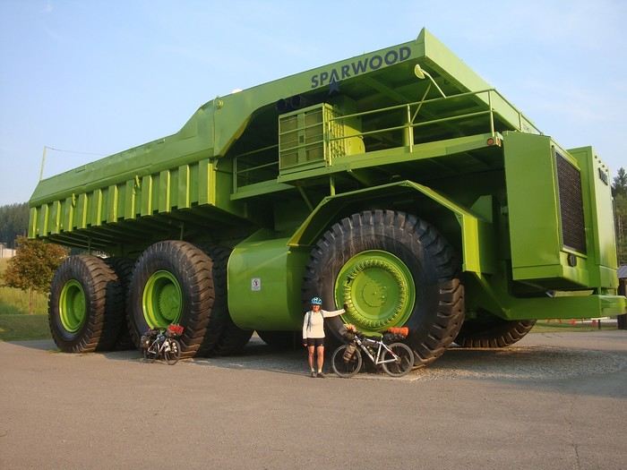 Sparwood and its Titan, the largest truck in the world at the time, now on display in this mining town (coal).
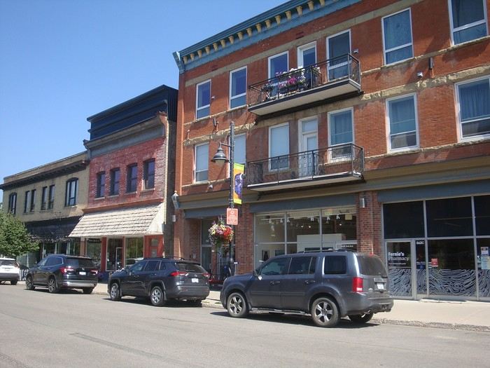 Fernie and its red-brick buildings.
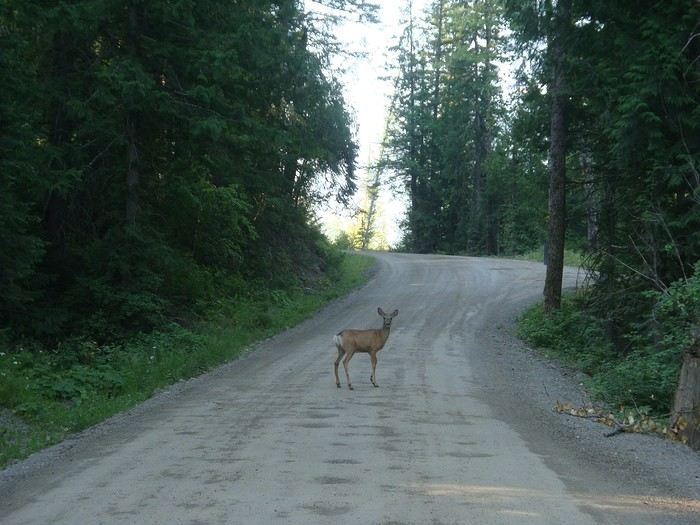 Morning encounter with a deer.
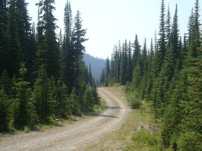
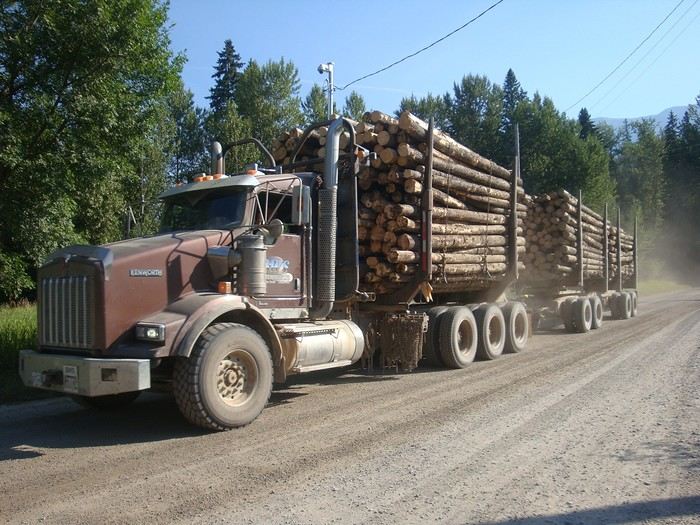 Climbing toward Harvey Pass, pretty dusty when logging trucks pass by.
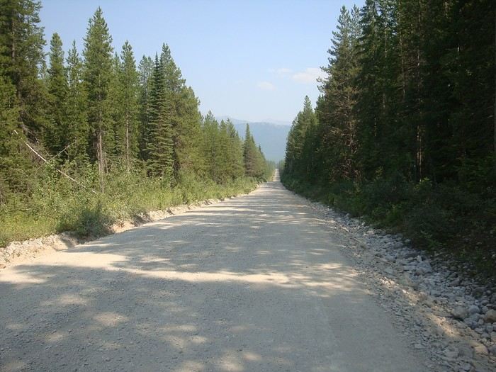 We feel so small in these vast landscapes...
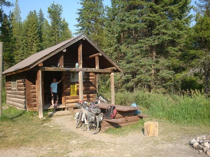 Our cabin in Canada... We love this log shelter in bear country. We’ll sleep peacefully. Good night, little ones!
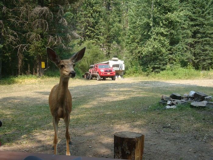 A very wild stage to reach Ram-Wigwam Recreation Site via Cabin Pass. The descent had rough pavement and a steep slope that was tough to ride. A deer joined us at our table. We met and chatted with our neighbors, who were fishing for trout.

 And we're off...
Thanks for your messages!
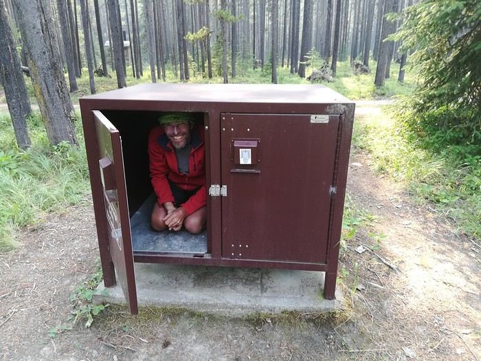 The campgrounds are unsupervised campsites, usually located near water (lake, stream, river, spring) which you need to filter. Each site often has a table, a spot for a campfire, and a "bear box" to protect food from those hungry bears; don’t keep anything scented in your tent for safety. There are dry toilets on the grounds.
Most campgrounds are free; some are paid (you slip your contribution in an envelope into a box at the site entrance). No reservations, first come, first served. The log cabin is open access on the same principle; it was mentioned in our guide. From Wigwam, we reached a very tough and wild pass, Galton Pass, after tackling the famous GDMBR section "the wall"—a very steep, narrow, slippery path full of roots where you have to lighten your bikes and carry them.
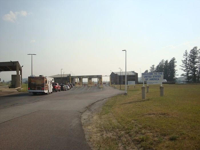 Entering the USA. We each had an ESTA ($40 per person); at the border, we each had to pay an additional $30.
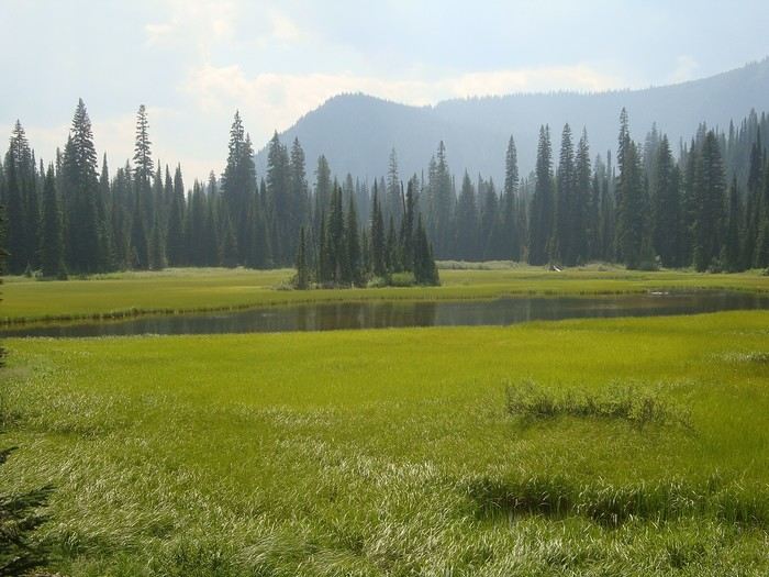 Near Red Meadow Lake. Start of the descent toward Whitefish.
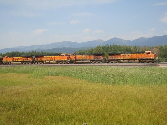 Freight trains run a lot in the USA, especially at night. We were surprised by their length and load: we saw one with eight locomotives spread at the front, middle, and back to pull 268 cars, each loaded with two stacked containers! We took the time to count them—we were that impressed.
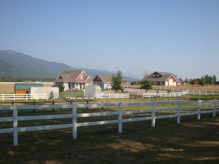 Between Whitefish and Bigfork, rural landscape, ranches dot the road across these plateaus.
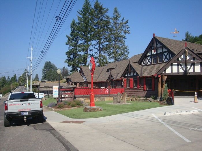 Bigfork, on the shores of Flathead Lake.
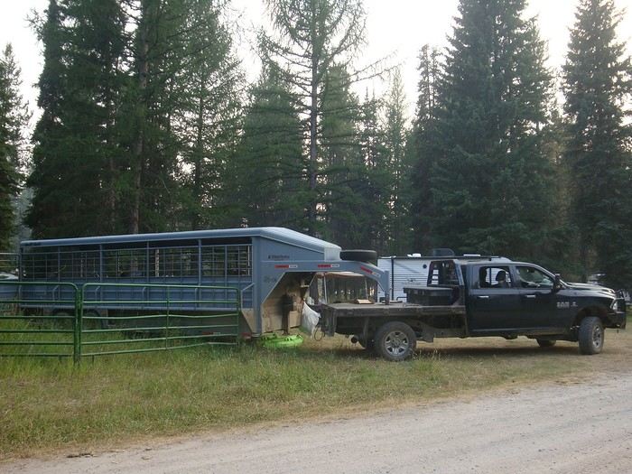 Campsite with riders and their horses. Big pickups towing very long trailers, some shared between living space and horse vans.
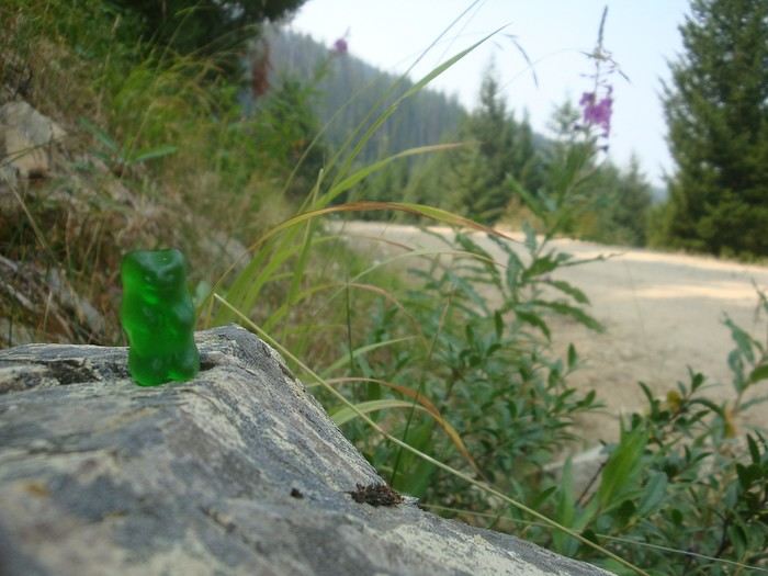 "Hey bear!"
"The grizzliest place in North America," they said.
Here’s the only one we came across on our route!!
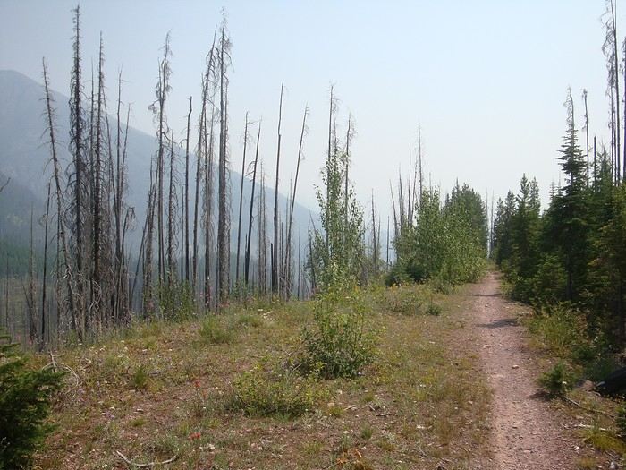 Descent via a single track toward Seeley Lake through forests ravaged by wildfires.
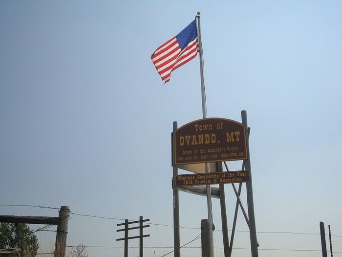 Passing through Ovando, a really charming typical village. Sometimes it feels like we're in a movie set...
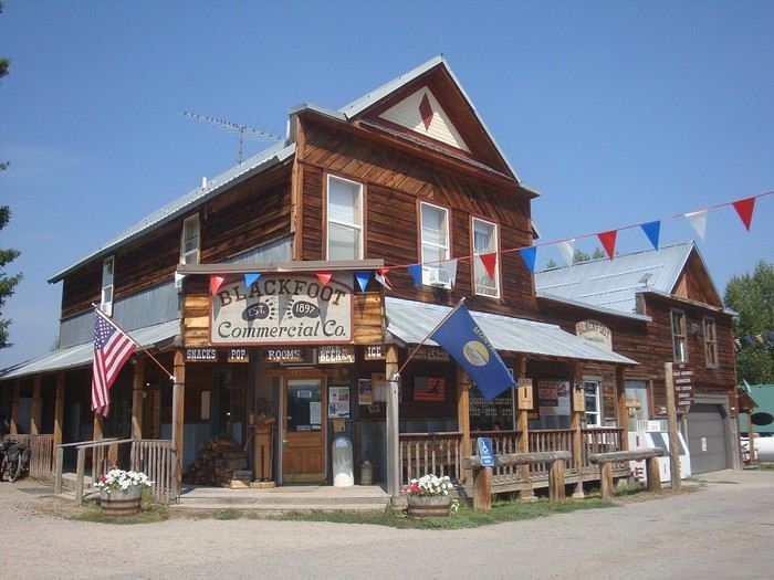
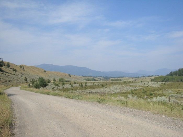
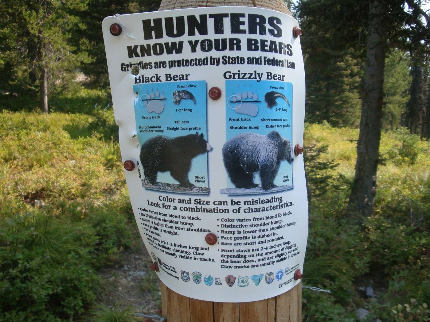
 Black bear or grizzly? We find fresh tracks along our route but no bears in sight so far. They’ve definitely spotted us, though...
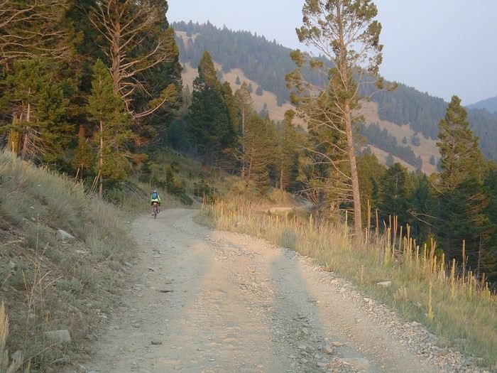 Four kilometers of brutal uphill pushing our bikes over rocks led us to a pass near Stemple Pass, where we could switch to a beautiful, long descent in the setting sun...
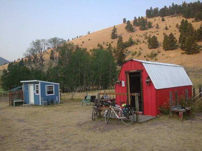 ...and arrive at Llama Ranch. The owners offer cozy cabins for passing cyclists and hikers. We didn’t meet our hosts—they were away. They don’t want money but hope every visitor will pay it forward by spreading this generosity in their own future encounters.
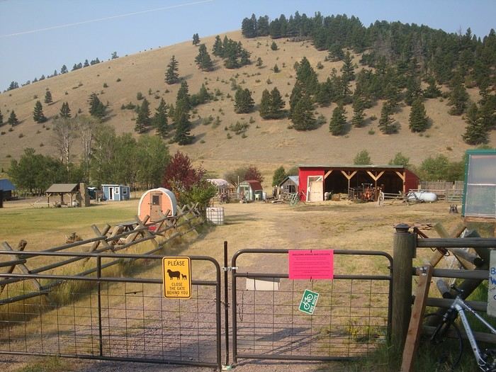 A night indoors now and then does wonders!
So much kindness along the way: coolers filled with water bottles, sometimes cookies... There’s a real sense of respect and camaraderie here. Everyone respects each other’s belongings—no need to lock everything up.
Drivers wave and sometimes stop to check if we’re okay. Passersby wish us a good trip, "God bless you."
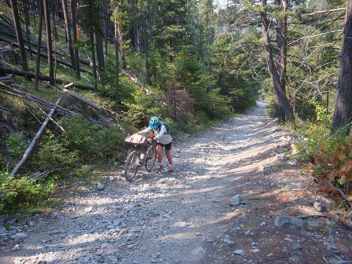 Another tough stretch of about four kilometers before Priest Pass, then downhill to Helena.
Helena is the capital of Montana. Along with Butte, these are the two major towns on the entire GDMBR.
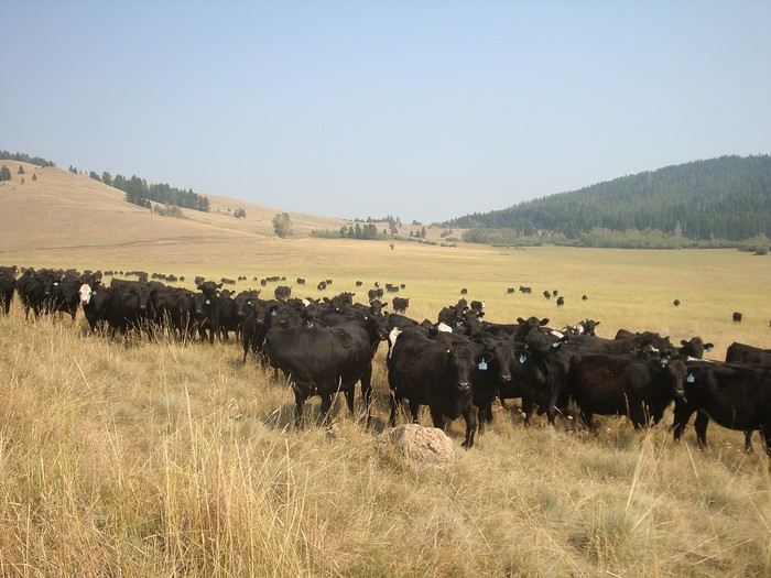 In sparsely populated Montana, the only crowds we encounter are these herds of black cows!
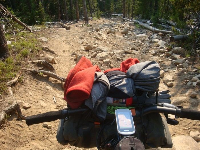 And another rocky descent—so much fun... on foot!!
Preceded by a long sandy climb, ruts, and logs to cross: hike-a-bike.
...
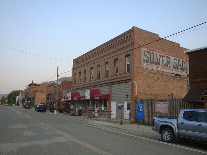 Arrival in Basin, a picturesque little town. Spent the night at the community center for $20. The town makes this communal space available to passing cyclists. You can take a shower at Judy’s place—she welcomes travelers.
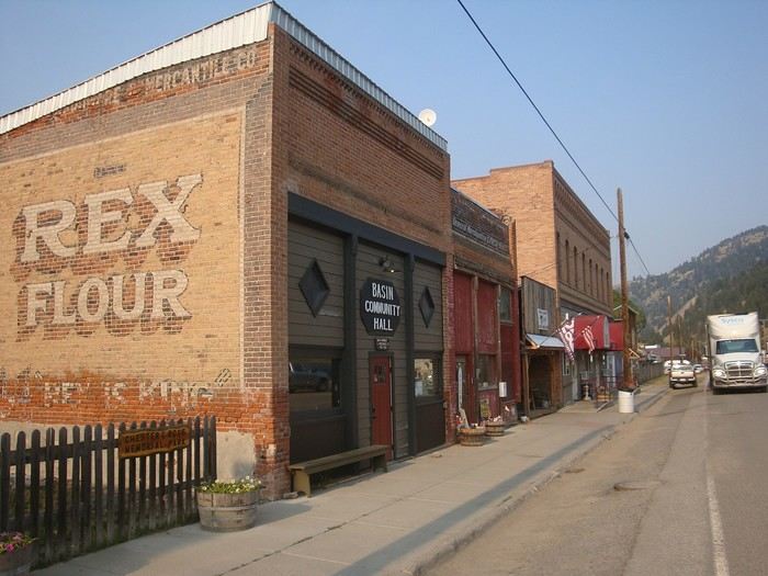 The community center.
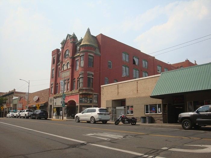 We continue our journey to Butte, the largest town we’ll pass through on the GDMBR.
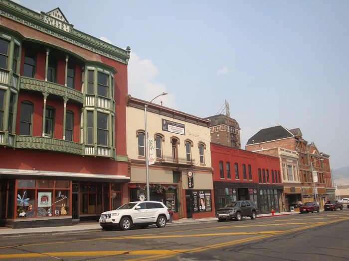
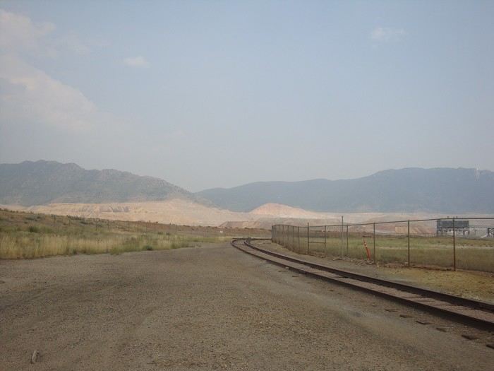 Butte developed starting in 1880 with the exploitation of its copper mine.
Spent the night at a comfortable campground like the ones we know in Europe (34 € per night). We even found gas cartridges at the front desk!
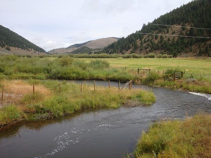 At Wise River, we had to change our route: wildfires forced a detour because the road was closed. We continued on the road through Wisdom and Jackson. Disappointed to leave our planned route because the passage through Elkhorn Hot Springs was described as a stunning road.
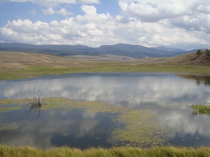
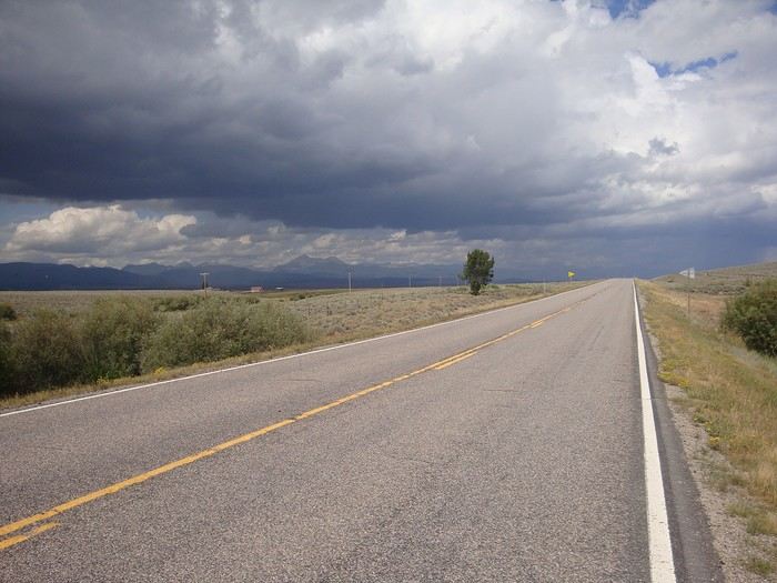 In the end, it was a great surprise even though we added thirty kilometers to the odometer: we followed the Big Hole River, and the landscapes were magnificent.
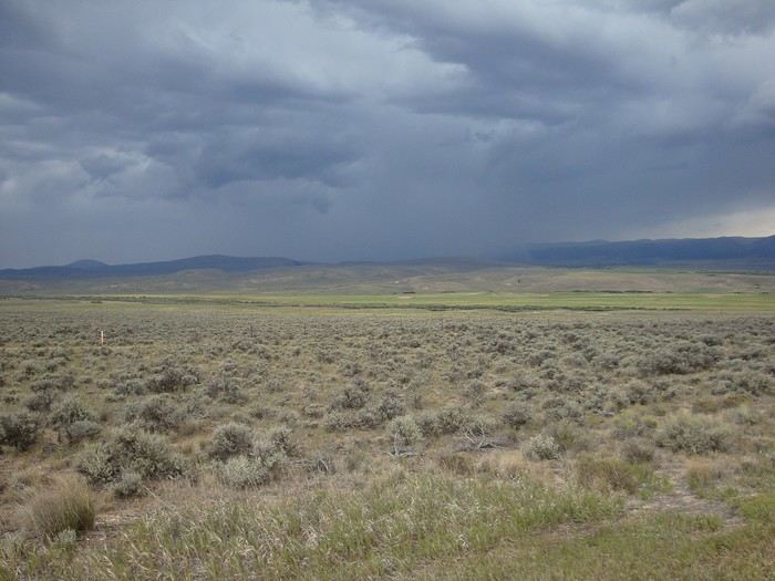 The weather turned bad, with a strong headwind. Desert-like landscape with lots of sagebrush.
We shared part of the route with the TransAmerica Trail—it’s the very first transcontinental bike route in the U.S., stretching 6,800 kilometers, created in 1976. We met a few cyclists crossing from east to west, from Yorktown (Virginia) to Astoria (Oregon).
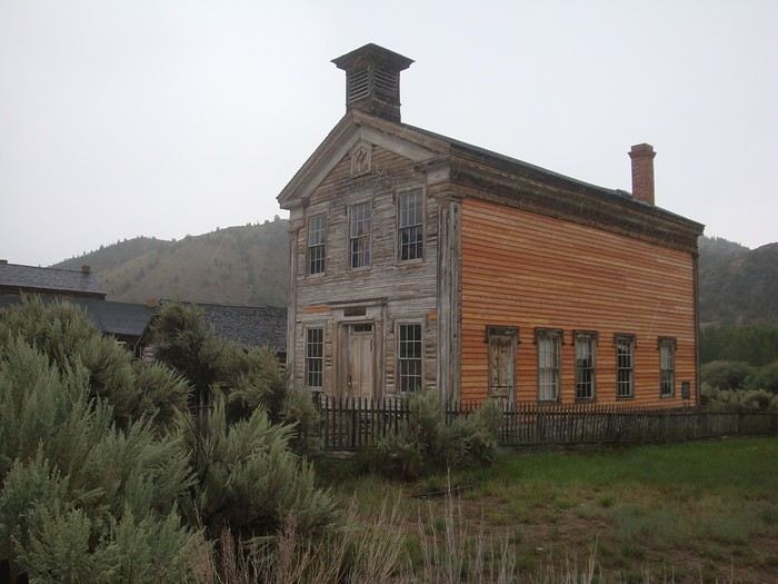 And we arrived in Bannack just in time to take shelter from the storm rolling in...
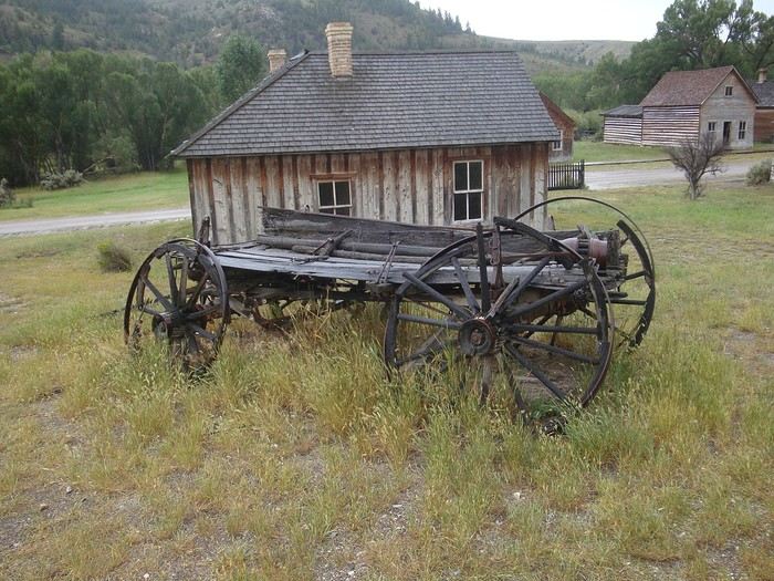 Visit to Bannack. This town, founded in 1862 on the site of a major gold mine, was the first capital of Montana.
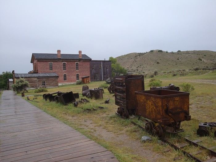 Today, the abandoned gold-rush town of Bannack has been turned into an open-air museum.
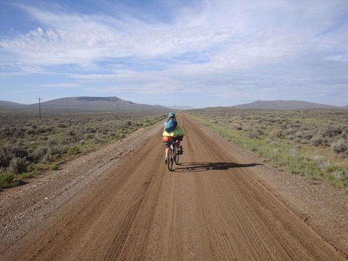 Three days where we played tag with the storm in the afternoons. We met friendly people who helped us find shelter. We crossed vast valleys and a huge desert plateau at 2,500 meters (8,200 feet) above sea level, then a very long and stunning canyon to reach Lima.
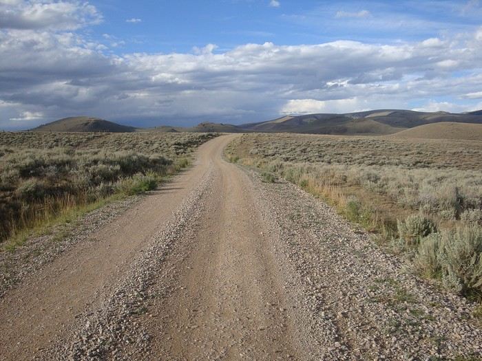 A real treat, these rolling stages, even if they make us tackle quite a bit of elevation gain each day.
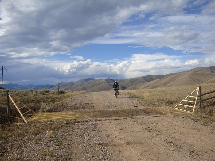 A cattle guard like the hundreds we crossed throughout our trip...
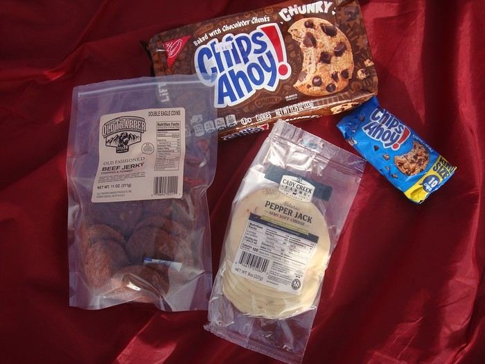 Bon appétit! We feasted on beef jerky (lean beef sliced and dried), pepper jack (cheese spiced up with chili peppers), and generous chocolate cookies...
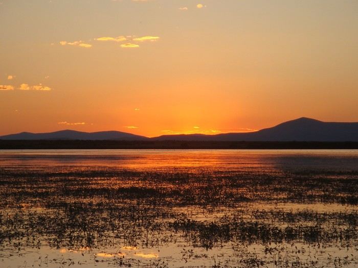 Upper Lake. A gorgeous sunset over the lake with ducks, trumpeter swans, and other birds in this wild lakeside refuge...
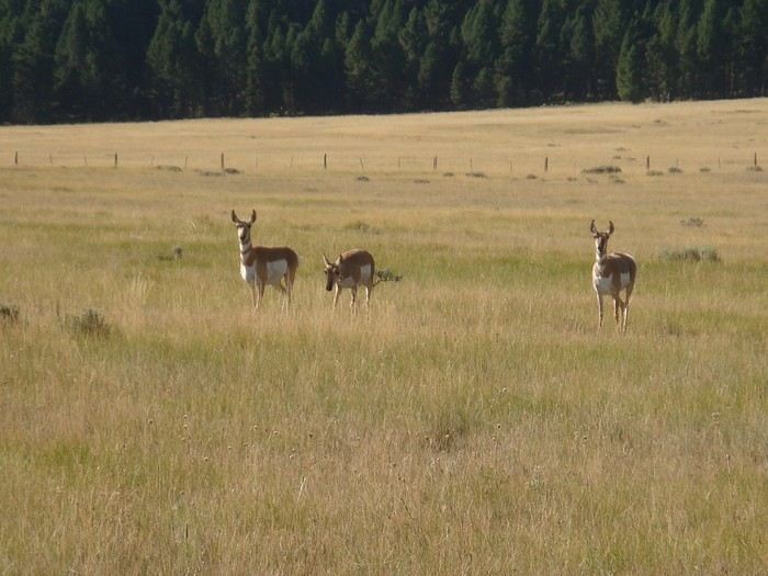 Pronghorns. These are North America's antelopes that live in the vast prairies and desert areas. They move in herds and are quite skittish.
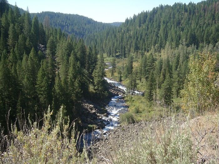 Goodbye, Montana! We're entering Idaho after the Red Rock Pass.
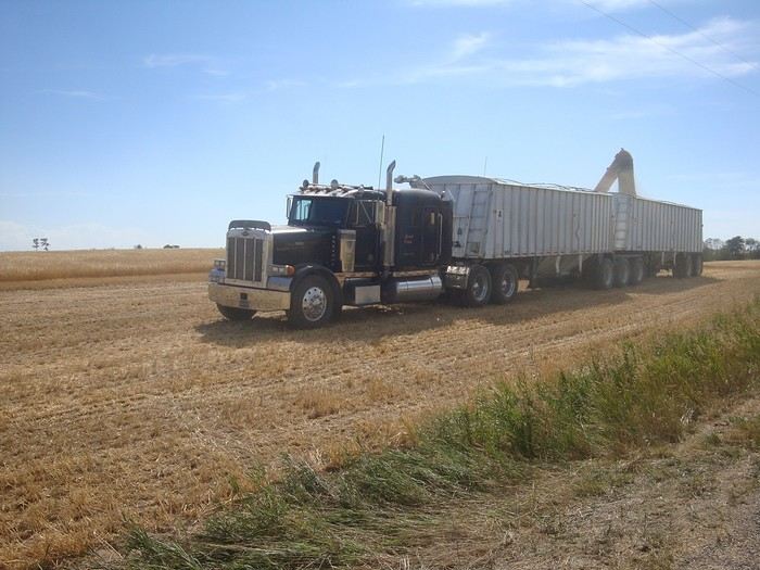 A quick pass through Idaho, just long enough to cross a very agricultural plateau (wheat and potatoes) in the middle of harvest season—super efficient with their massive equipment.
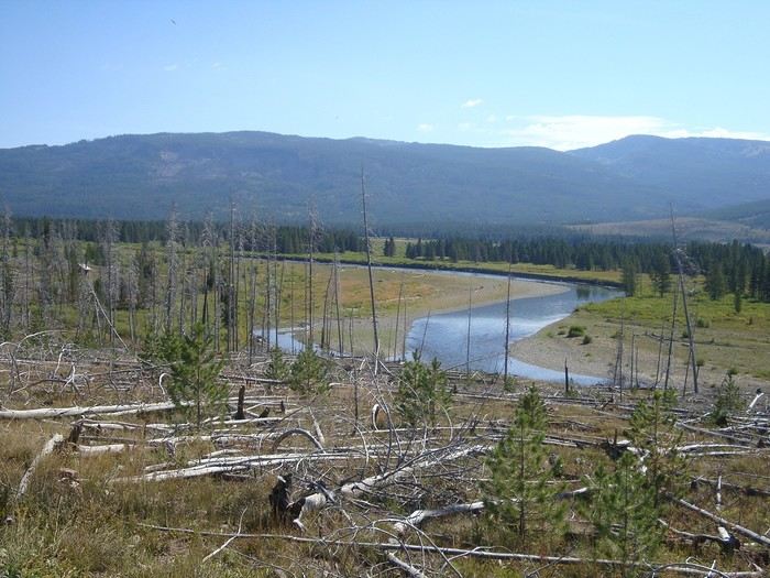 ... We also had time to see our first black bear cross right in front of us—it didn’t wait around for a photo before taking off!!
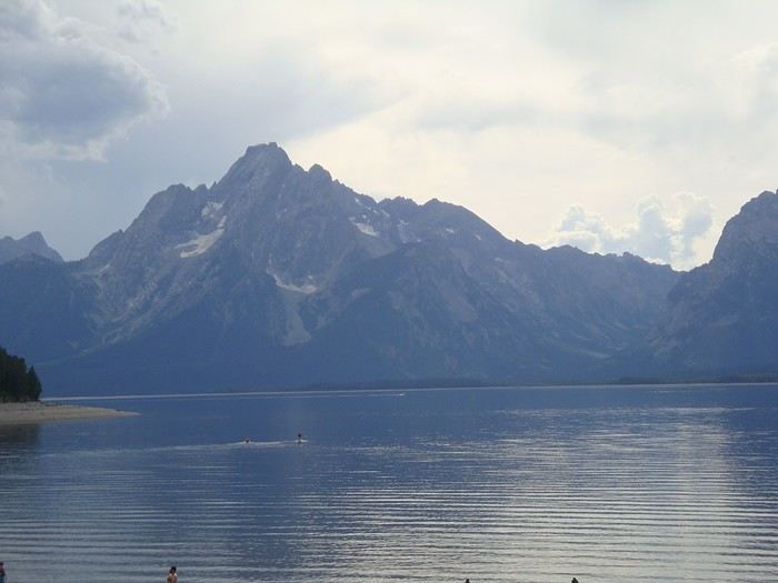 Here we are in Wyoming, after 2,000 kilometers. We’re skirting Yellowstone Park and entering Grand Teton National Park.
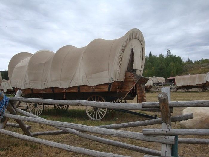 A little touch of the Wild West.
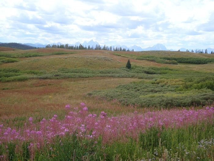 Climbing Togwotee Pass (2,909 m).
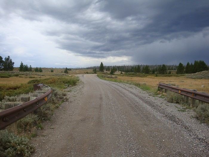 After spending an evening with an American family who kindly invited us to share a meal around a campfire, we tackle the climb up Union Pass (2,810 m).
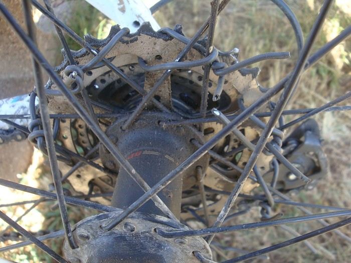
Ouch, first mechanical issue: Bernadette’s bike’s freehub body breaks, and she’s pedaling in the air.
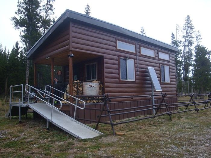 We hitch a ride—a pickup stops and loads up the bike and cyclist, taking them to the Strawberry Creek shelter, a good distance past the pass. Richard keeps biking, and we all meet up in this cabin for the evening, which we share with an Irish couple also riding the GDMBR.
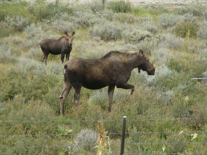 With some momentum, he catches up with me 70 kilometers later in the afternoon, in Pinedale.
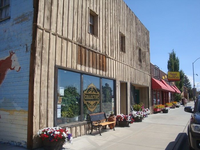 The next day, with the help of a car mechanic who kindly lends us some tools we were missing, Richard replaces the faulty part under the watchful eye of Logan, the mechanic, who’s really interested in this bike mechanics he’s not familiar with. We had a spare part in our panniers, along with other repair gear and tools.
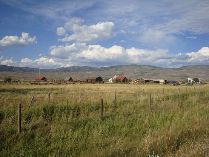 A few last farms, and then the start of the Great Divide Basin desert, which ends 220 miles later in Rawlins...
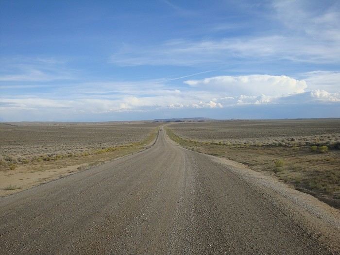 The Great Basin is a desert where no rainwater flows into an ocean.
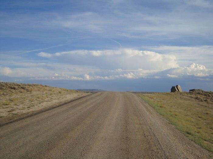 We cross this vast, uninhabited, and desert-like expanse of 350 kilometers in five stages.
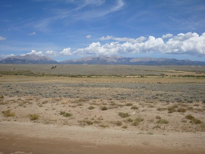 Beautiful light...
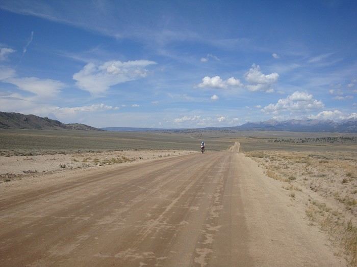 Not a single vehicle in 200 kilometers...
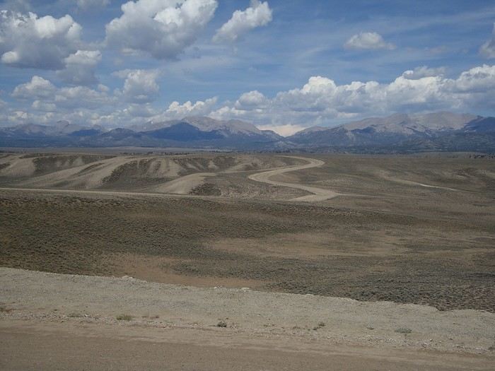 The trail varies from easy, well-compacted surfaces to rocky, difficult terrain, sometimes corrugated or sandy. Cyclists and bikes are put to the test.
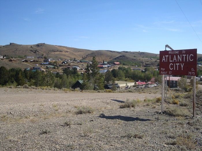 After a night in South Pass City, we arrive in Atlantic City, both former mining towns. The town declined after the gold rush ended around 1870.
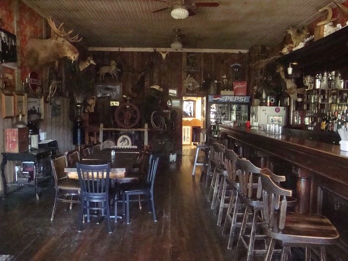
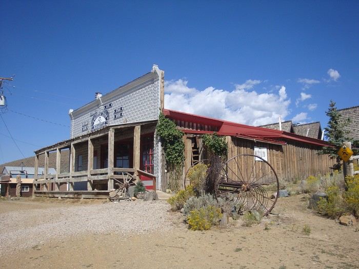 The town has preserved a famous saloon known for its burgers. But it was closed when we passed through.
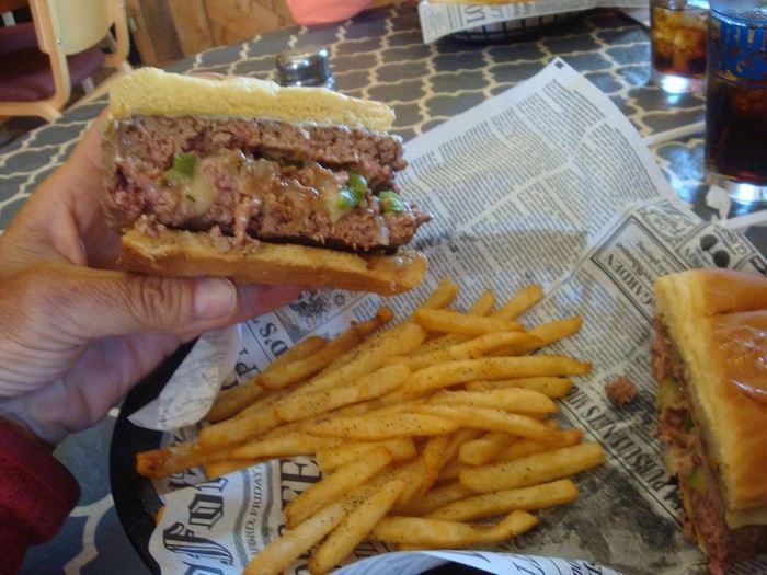 Luckily, a nearby restaurant was open, also serving really good burgers! We enjoyed them thoroughly.
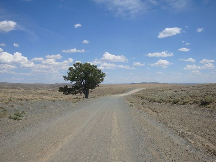 A rare parasol in the desert with some much-needed shade...
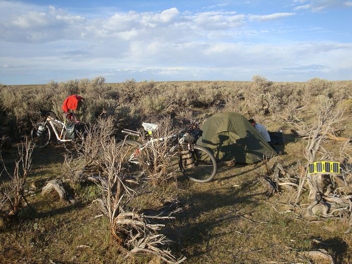 Bivouac in the desert, alone in the world. Just the coyotes howling at dusk and dawn.
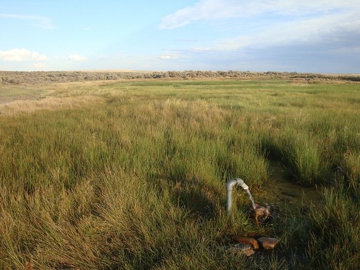 Every evening at the stop, we find a water source (stream). That night, it was at the Diagnus well spring. Gold in the desert!!
We set off the next day well stocked with water, like every morning, to be self-sufficient all day. Daily worry: wondering if we’ll find water the following evening.
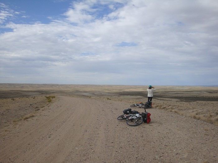 On these plateaus, the wind sweeps the landscape (often head-on for us).
The last two stages were quite windy and particularly grueling.
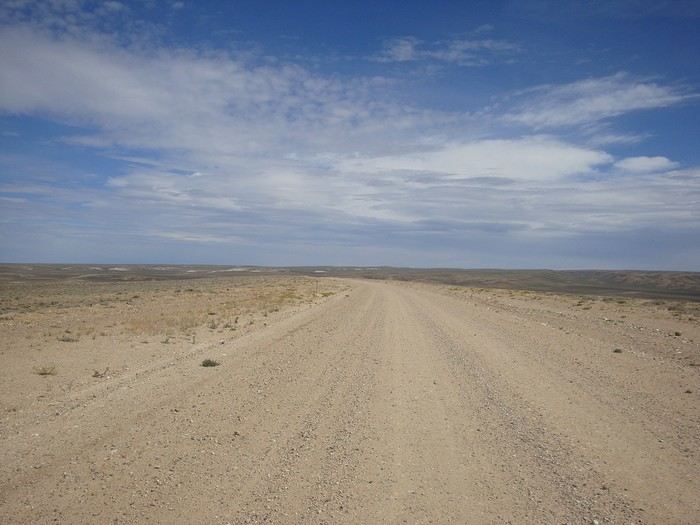 This desert crossing is dreaded by all cyclists because of the high temperatures that can exceed 40°C. We were lucky with about 30°C at the end of August.
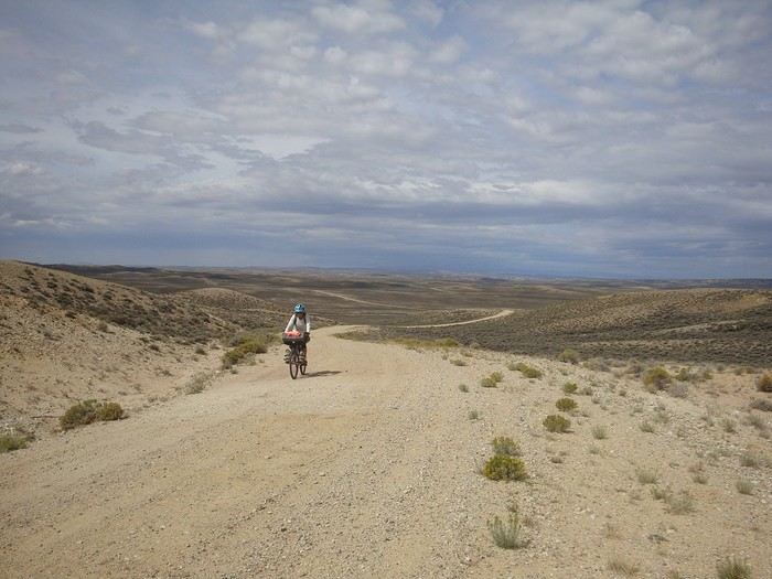 The sky darkens, and we won’t reach Rawlins before a violent hailstorm stops us and soaks us thoroughly. Soaked, we end the day at a Motel 6 for $90 a night.
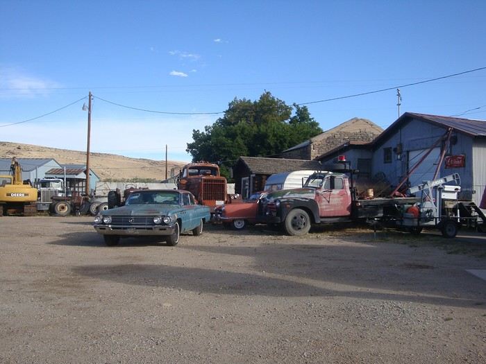
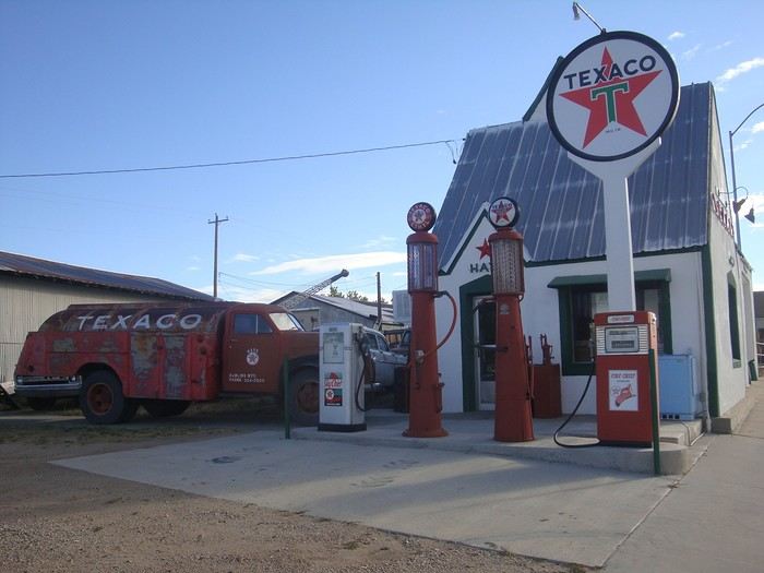 We leave Rawlins under the sun after a good restorative night, with clean and dry clothes...
After an hour of pedaling, the rain returns, forcing us to take shelter for three hours in a culvert under the road.
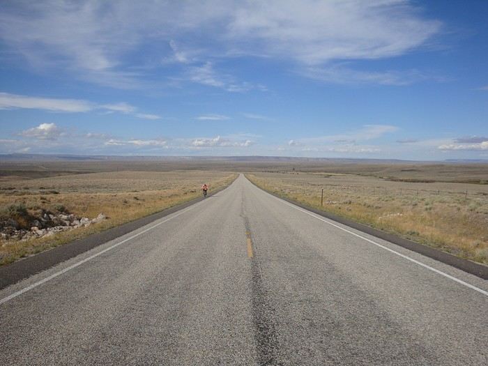 The following days, good weather in the morning. Then the wind picks up, head-on, violent, and by late afternoon, a storm breaks.
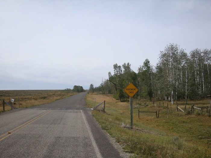 Out of the desert. We find trees that shelter us, then the prairies.
Bye-bye, Wyoming, tough with its endless climbs and winds sweeping the vast uninhabited spaces.
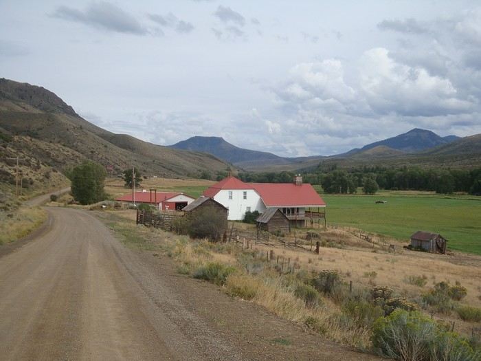 Here we are in Colorado. We find spacious and colorful ranches with more horses.
See you up the road...
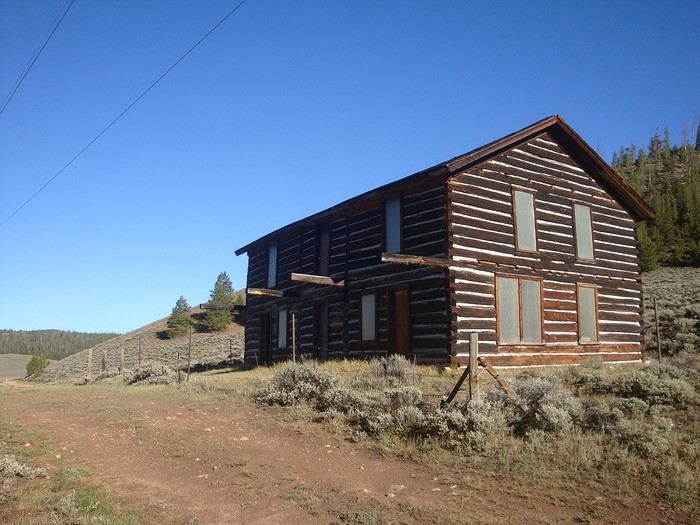 After Steamboat Springs (we slept in a gorgeous Airstream trailer, hosted by Brad), we cross Lynx Pass (2,724 m), and about 7 kilometers after the pass, we find this old wooden hotel, open and welcoming for our night's shelter.
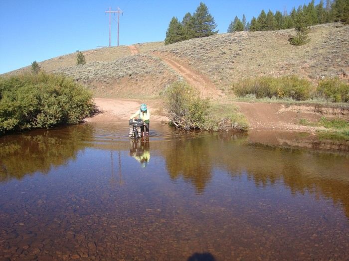 The next morning, a refreshing wake-up with a river ford crossing!
That day, we spot a black bear (our second on this trip); Richard speeds up to catch up with it, but the animal bolts and disappears into the dense vegetation. What a shame! No photo this time either...
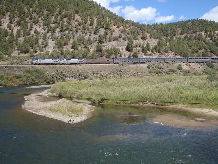 Radium. We cross the Colorado River.
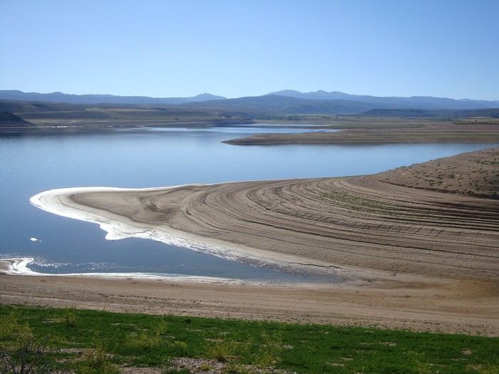 Campsite at Williams Fork Reservoir, which is very low this year due to lack of rain.
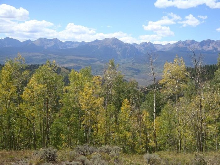 Surroundings of Ute Pass (2,902 m)
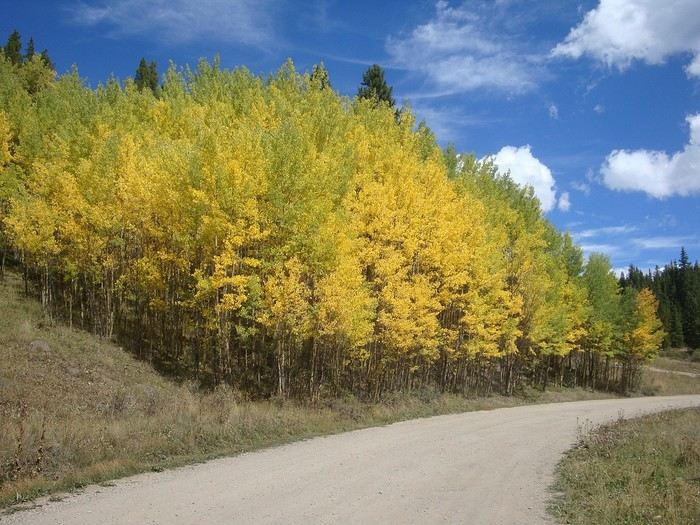 After Silverthorne, Frisco, and the upscale ski resort of Breckenridge, we begin the climb up Boreas Pass. The fall colors are starting to appear.
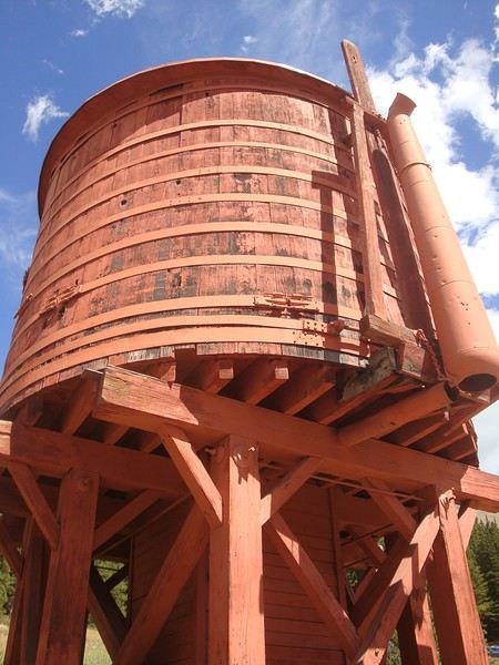 The water tank that supplied steam locomotives on the old narrow-gauge Denver South Park and Pacific Railroad, which was the highest railroad in the United States, inaugurated in 1882.
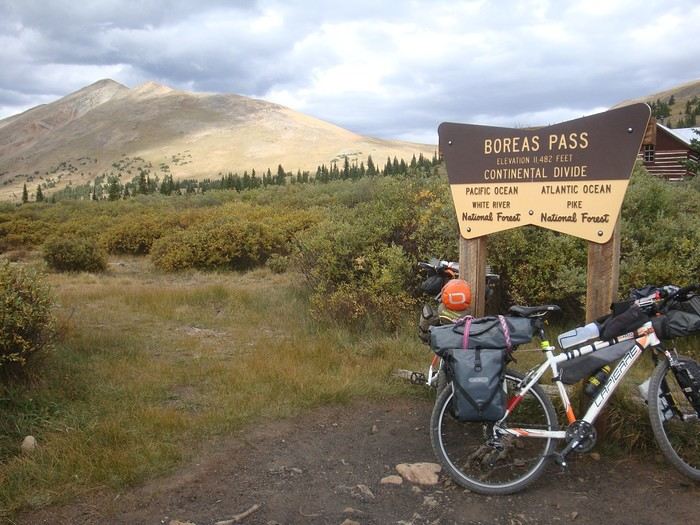 Boreas Pass summit (3,500 m). The climb was gentle and steady, with moderate gradients and a smooth surface, easy to ride. We don’t feel any effects from the altitude since we’re acclimated...
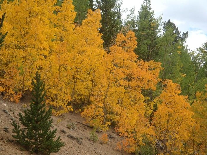
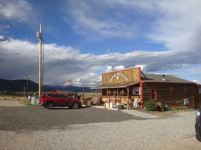 Como. We ask Margaret, a local villager, for a water source. She gives us directions and offers to let us stay for free in a storage room that’s been set up with a shower, beds, and a furnished kitchen. There’s even a washer and dryer available!
Big thanks to Dan, the owner: the storm really soaked the village that night!
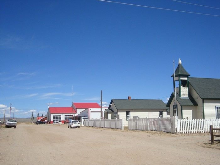 Hartsel. The famous saloon known to Divide riders for its burgers was closed, so we sadly ate our picnic and got back on our route.
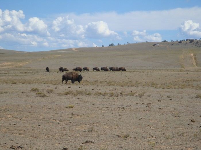 First bison we encountered.
Lots of washboard roads on the section after Hartsel. We were exhausted and stunned by the end of the day.
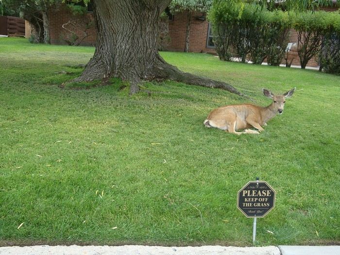 Deer are exempt from the rules ;)
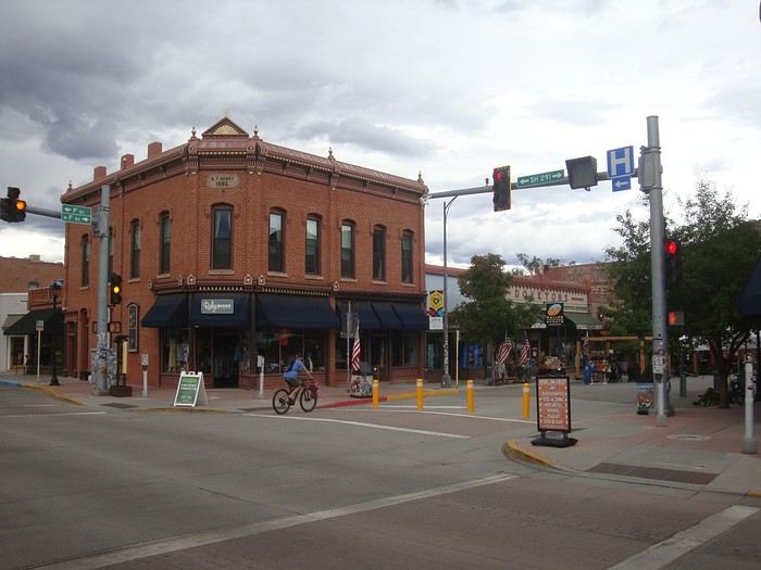 Salida, considered the most beautiful town on the GDMBR by cyclists.
It’s picturesque with its red-brick buildings and historic, flower-filled old town.
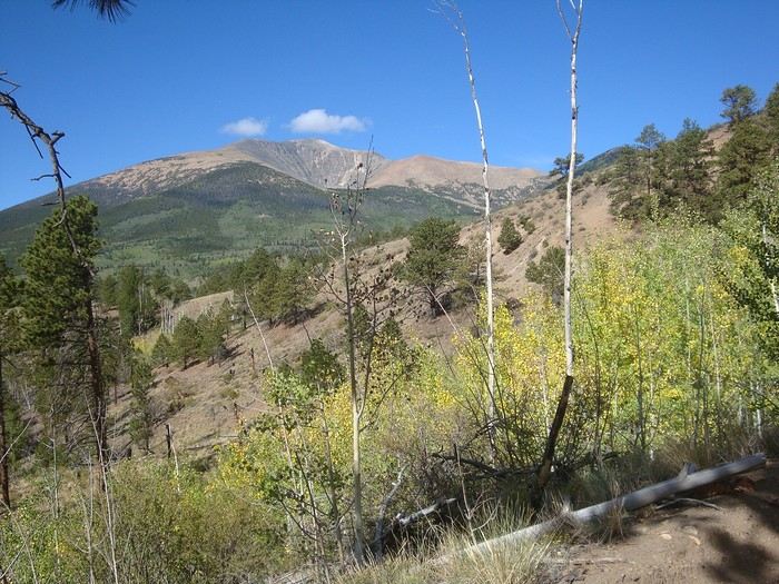 On the climb up Marshall Pass (3,304 m).
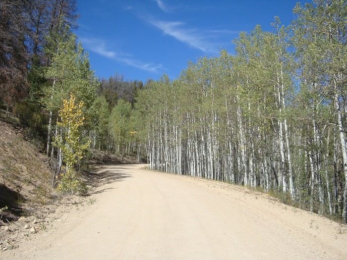 After two more passes over 3,000 m—Cochetopa Pass and Carnero Pass—we descended toward La Garita...
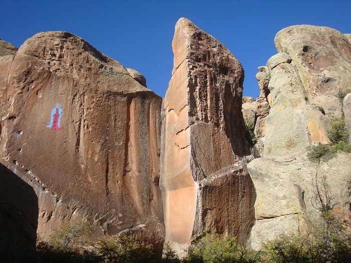 ...to visit Penitente Canyon.
You can see a painting of the Virgin of Guadalupe there. Its restoration is highly controversial because it was done without permission in this protected natural site...
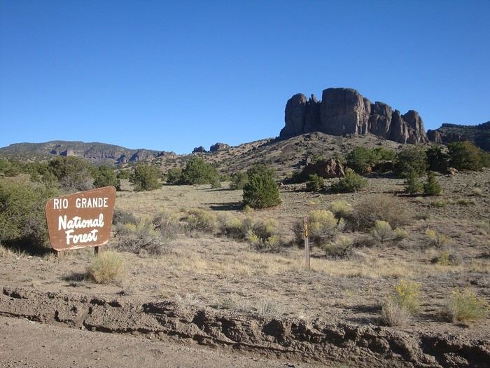 We found the desert getting hotter and drier. Streams turned into gravel paths.
Beautiful light and stable weather right now.
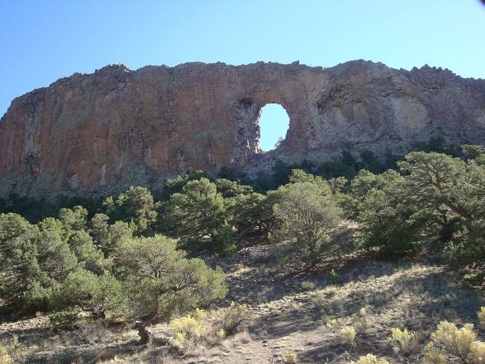 La Garita Natural Arch. A 12 m high by 9 m wide geological formation. It was a sacred ceremonial site for Native American tribes.
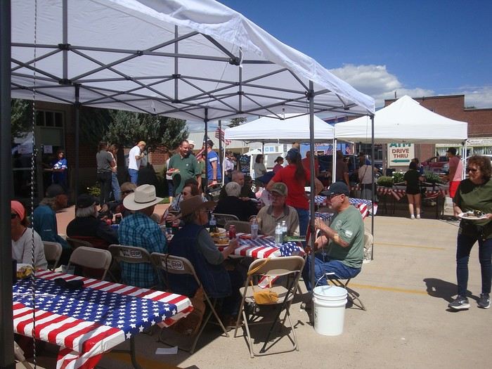 When we arrived in Del Norte, we were invited to the Community Barbecue—a shared meal offered by the bank to all residents, and visitors are welcome for free. Food, conversations, photos—such a great time with the Americans!!
Every day is marked by an unexpected encounter...
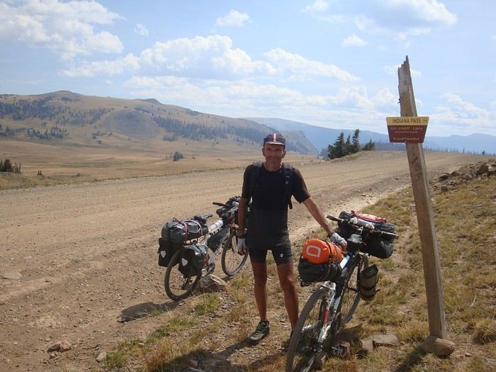 Col d'Indiana Pass, point culminant de la GDMBR (3640m). Longue montée de 37 kilomètres soutenus sur la deuxième moitié de l'ascension sur une piste plutôt roulante.
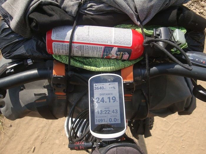
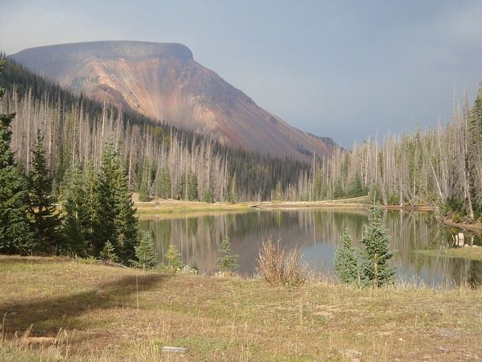 Après le col, le terrain ondule un peu; on traverse Summitville, ancien site minier abandonné.
L'eau n'est pas potable dans ce secteur sur une trentaine de kilomètres , même filtrée, car chargée en métaux lourds.
Nous sommes dans une ambiance "smoky" avec les fumées des incendies actifs à une cinquantaine de kilomètres vers l'Ouest.
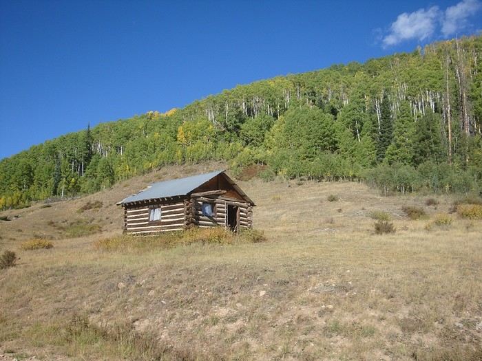 Cabane près du Stunner Campground; un bon abri pour la nuit.
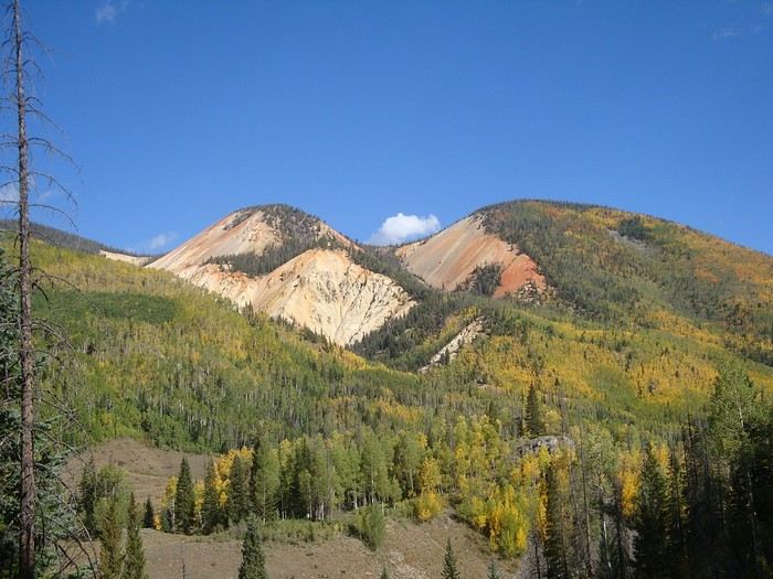 Montagnes colorées vues du Stunner Pass. Revêtement difficile, très caillouteux, dans la montée du col.
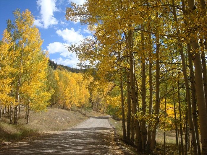 Une route de graviers sinueuse et en bon état traversant des milliers de trembles aux couleurs chatoyantes nous mène jusqu'à Platoro.
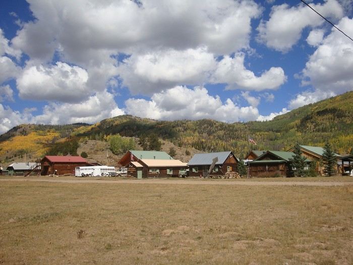
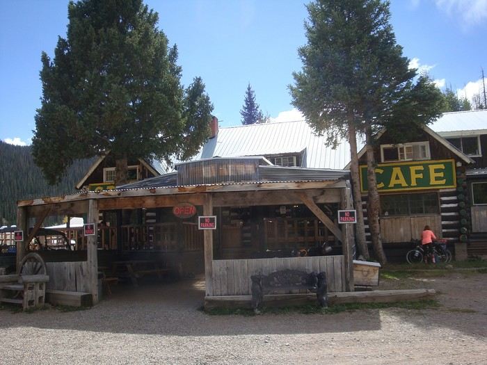 Platoro, joli village au bord de la rivière Conejos avec son café pittoresque. La pause burger-maison était un délice !
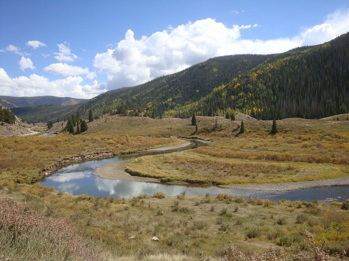
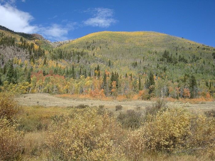 En route vers Horca par cette belle vallée colorée avec de vastes prairies, des forêts de trembles et d'épicéas, et des zones rocheuses.
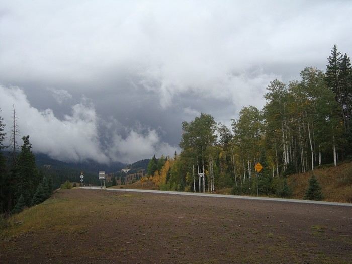 Par des routes goudronnées, nous franchissons le Manga Pass (3118 m). Nous avons retrouvé les orages et de bonnes pluies. Il faut de nouveau jongler avec les averses... et trouver des abris, c'est le défi de chaque jour loin des villes.
Au revoir le Colorado avec ses longues montées douces; ses montagnes arrondies (~4000 m quand même !), ses terres colorées passant par le rouge, jaune, orange, vert, blanc, gris, noir, violet ou rose selon les endroits. Waouh !!
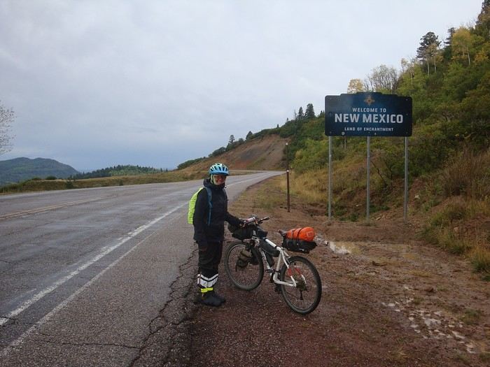 Nous voilà au Nouveau Mexique. "Terre d'enchantement" qui nous accueille sous la pluie (enchantement pour les habitants qui l'attendent depuis des mois; moins pour nous qui devons nous équiper en conséquence !!) .Du coup, nous sommes obligés de quitter notre itinéraire et de prendre des routes car le sol est très collant sur les chemins. "peanuts butter" disent-ils, impassable. Nous prenons une route alternative par Chama et Tierra Amarilla.
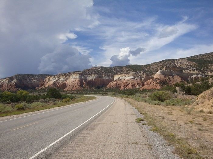
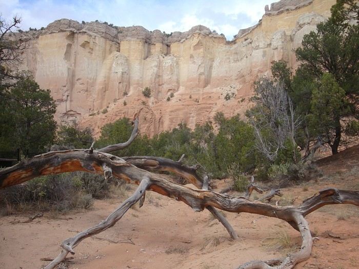
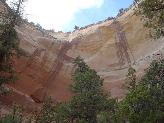 Amphithéâtre naturel. Une immense paroi de grès creusée en forme de fer à cheval qui produit un effet d'écho avec une clarté étonnante.
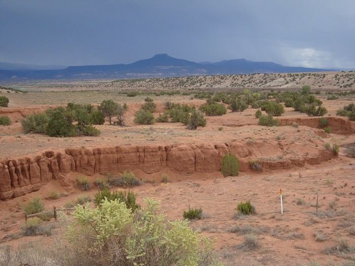 Canyons creusés par le ruissellement. Les quantités d'eau sont impressionnantes lorsqu'arrive la saison des pluies.
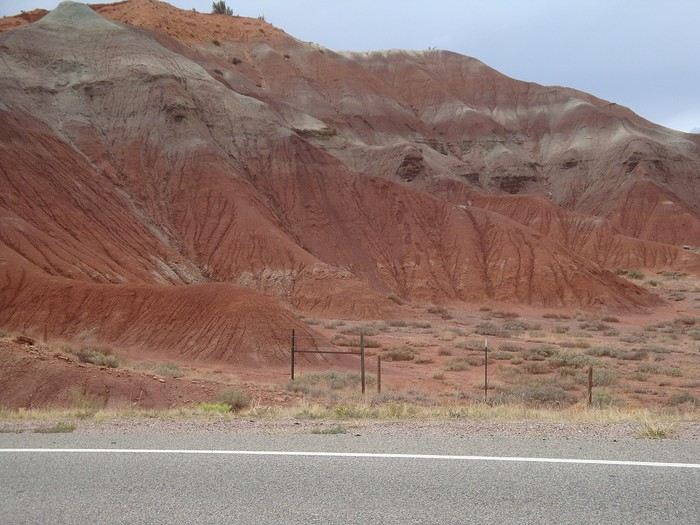
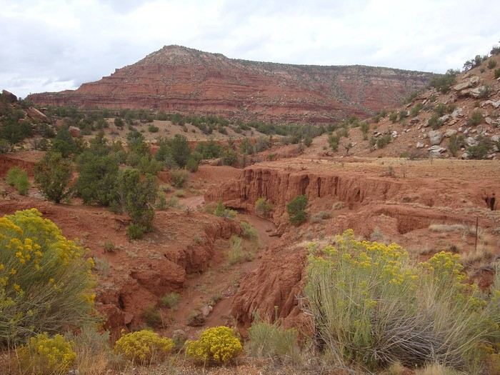 Magnifique route du Far ouest pour rejoindre Abiquiu.
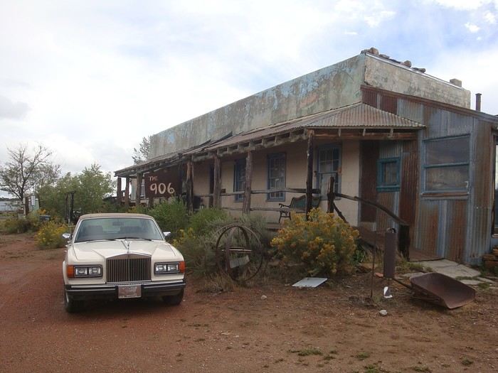 Après Abiquiu, les pistes rendues boueuses par les orages nous obligent à continuer sur un itinéraire alternatif goudronné. Hébergement insolite ce soir-là: nous sommes invités par Will à passer la nuit dans une cabane de rondins attenante à sa maison car il sait que la tempête va se déchaîner dans la nuit. Bien inspiré car l'orage a été terrible dans les heures suivantes; mieux valait ne pas dormir dans la tente !!
Will nous offre des œufs et passe un long moment avec Richard autour de sa collection de voitures. Il lui fait même essayer une Rolls-Royce ! Surprenant cette rencontre...
Le lendemain, nous rejoignons Cuba ; nous faisons une pause dans un motel .
Le temps toujours orageux nous fait poursuivre l'itinéraire alternatif par la route 197 en direction de Torreon, vers les territoires Navajos.
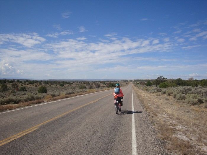






















 Roundabouts are particularly interesting because they feature emblems of Turkmen culture, like the dog, a carpet, the Ahal Teke horse, or Muslim symbols, even though the presence of Islamic artifacts is quite limited.


















 Why this country?
After visiting Hungary, Slovenia, Romania, and Poland in recent years, I’ve fallen in love with Eastern European countries. I adore the Slavic soul, its Austro-Hungarian villages, the gentle landscapes, the Carpathian Mountains, and that slightly mysterious atmosphere.
Slovakia evokes a certain imagination with its deep forests, medieval castles, and cobbled villages.
After seeing photos of the High Tatras—especially Lake Štrbské Pleso and Spiš Castle—I thought, "Let’s do it! We’re going!"
So, will Slovakia live up to what I imagine?
We’ll find out together.
We decided to travel as a group of six (five adults and a six-year-old child), by car (we needed two).
Here’s the day-by-day itinerary for this family trip, which started with a 3-day stay in Vienna (see the dedicated travel journal):
















 When it comes to the Caribbean island of Saint-Martin, it's customary to praise its coastline and dreamy beaches—and they certainly deserve it.
But in this story, I’d like to highlight other memories, aspects, and impressions for a slightly different change of scenery.
Enjoy the read—some text and, above all, lots of photos.
« Byenveni sou zile Sen Maten! » (Welcome to the island of Saint-Martin)














































 Come along, I'm taking you to this country where it's so nice to wander and slow down...












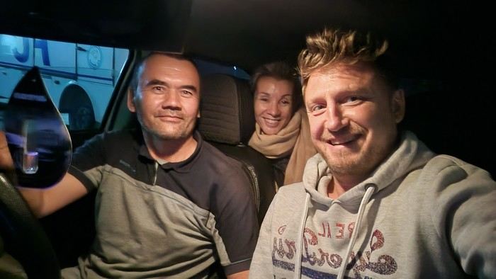
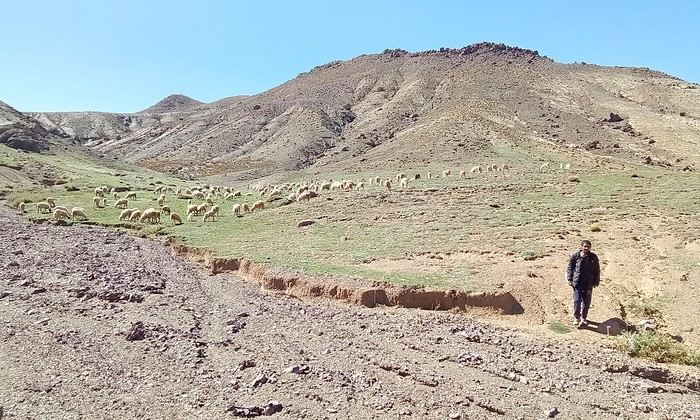
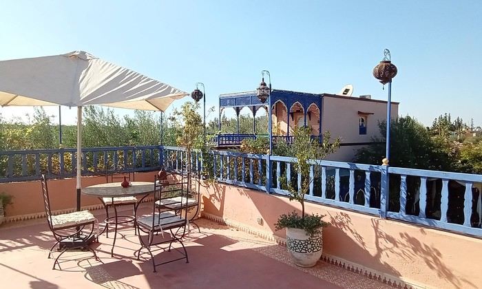
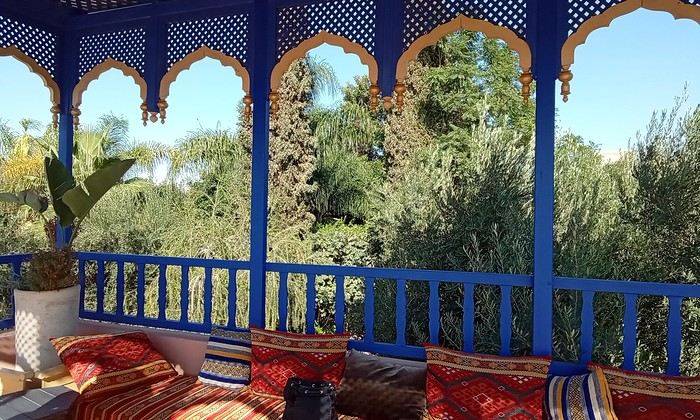 Last October, we landed in Marrakech to spend a few days with family exploring Morocco’s roads.
Transport: a rented Dacia.
Accommodations: small guesthouses.