San Miguel de Allende - 2
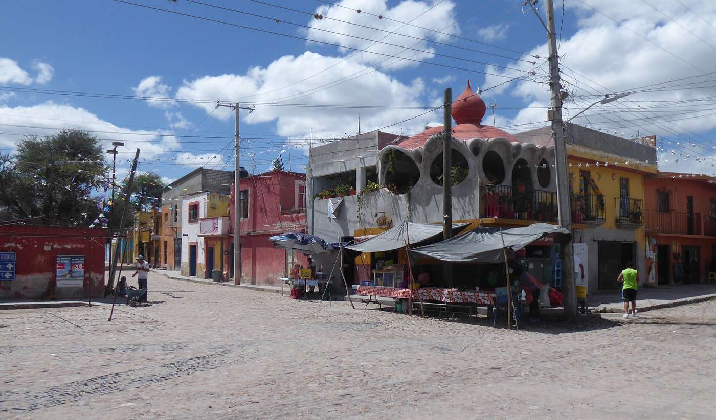
This influx of Americans had almost ruined our little breakfast under the arches of the main square (coffee + huevos rancheros for 200 pesos). A few minutes wandering around the center and we’re back in good spirits. The colors red, ochre, and pink dominate, the streets are covered in cobblestones or large flat stones. Spotless cleanliness, as always. Around noon, we ate two dishes with half a liter of fresh orange juice at a snack bar on Collegio Street, right next to Plaza de la Soledad (150 pesos).
Speaking of Americans, we got in touch with some friends who are also American and live in San Miguel. Not all Americans are unbearable, of course! Our friends arranged to meet us in the evening on the Rosewood’s terrace. It’s a "classy" hotel located a bit outside the city center, which, given San Miguel’s size, is really only about a ten-minute walk from the main square. Since we had plenty of time, we took a little detour through Benito Juárez Park. A very pleasant spot, shaded and wooded, where people come to play, jog, picnic, sit on a bench ("thousands of them…", remember?), read a book, etc.
I recommend checking out the Rosewood—it’s a magnificent building with an original architecture I’d describe as Italian-inspired. Inside, a large circular hall features several high-quality works of art that are worth the detour. It’s almost like a museum! That’s where our friends were waiting for us.
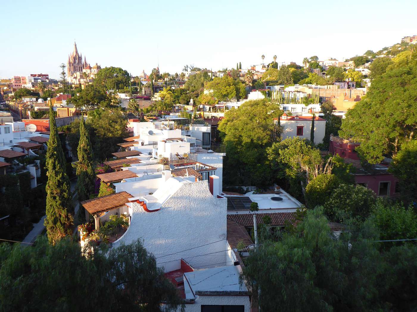
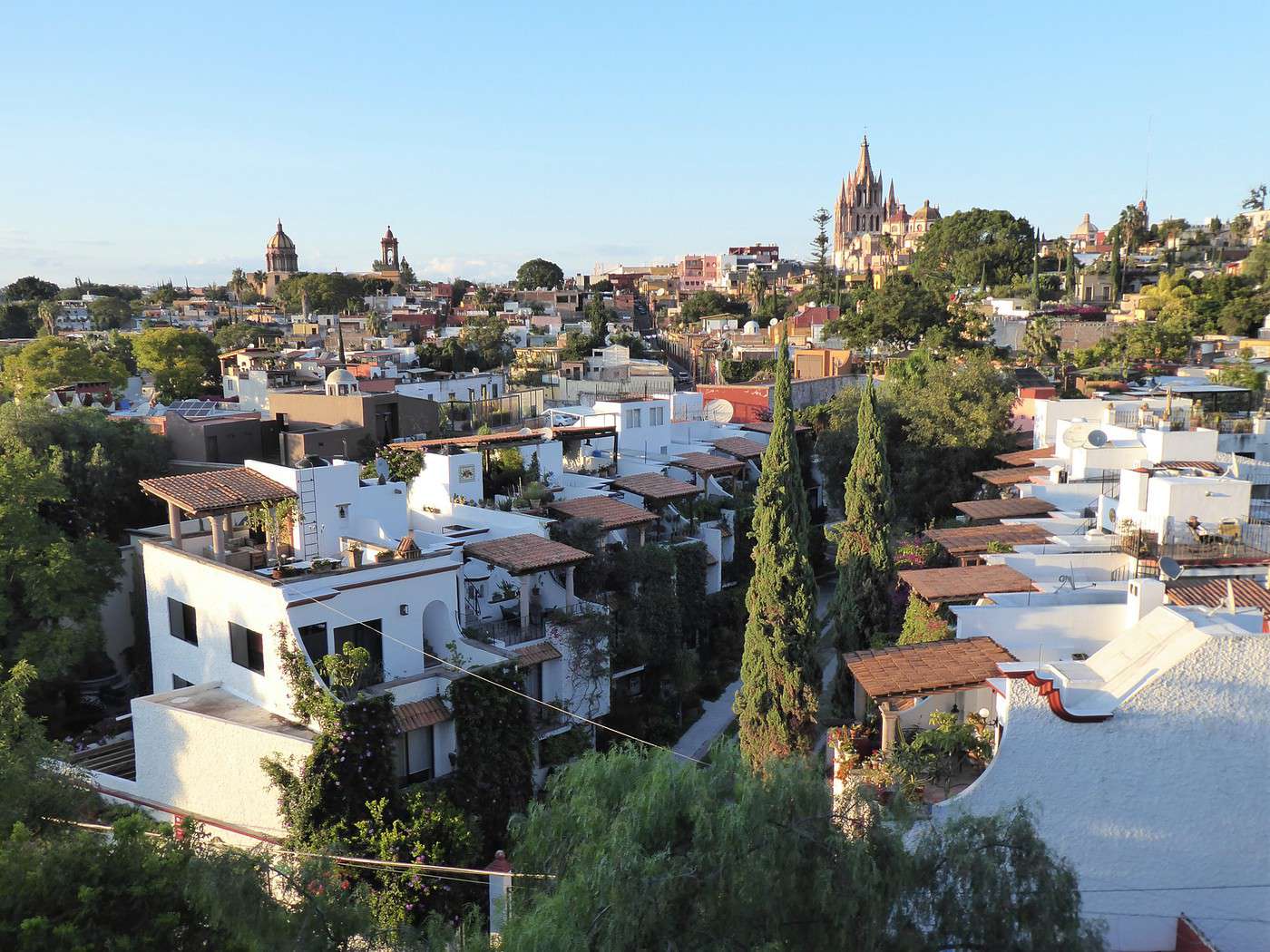
There were a lot of people on the terrace ("rooftop"), but we found a good spot. After the usual small talk, we went to take some photos because the view was simply stunning. The warm colors of late afternoon, the red-tiled roofs, the pine trees piercing the greenery, the churches standing out in the background—it all felt very Mediterranean. Again, Italy came to mind.
Our friends took us to another "cantina", El Manantial, at the corner of Huertas and El Chorro. It would’ve only taken 10 minutes to walk there, but our friends insisted on taking a taxi (they *are* American, after all!). We tried one of the house specialties, ginger margaritas. Not bad, but Y and I agreed: we prefer classic margaritas. Since we’d only nibbled on appetizers at the Rosewood’s terrace, we ordered food. For four people, the bill came to the highest amount we’d seen during our six weeks in Mexico: 800 pesos (40 €). But that was for four.
The next day, following our friends’ advice, we took a local bus, a "camión", on Calzada de la Luz, at the end of Calle Relox. Destination: Atotonilco, about twenty kilometers away. It’s a village of fewer than a thousand people, famous for its church (and what else, we’re in Mexico!). The Santuario de Jesús Nazareno is a UNESCO World Heritage Site for its Baroque architecture and decoration (dating back to the 18th century). For Mexicans, it’s also a spiritual landmark: during Mexico’s War of Independence, Father Miguel Hidalgo took up the banner of the Virgin of Guadalupe to lead the insurgent army.
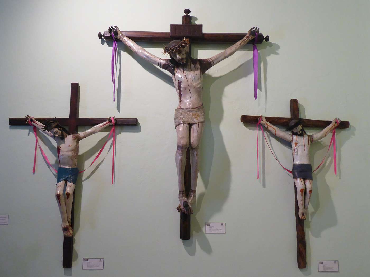
It’s nice, but we were a little disappointed by the naivety of the interior after all the wonders we’d seen in Querétaro and San Miguel. From the outside, it looks very "Mexican": bright sun, white and ochre colors, paved road… Oh, and public benches, of course!
Our American friends had raved about the charms of a spa just outside Atotonilco. "10 minutes on foot," the nuns running the café next to the church told us. It took us more than half an hour to reach Escondido Place under a sun that was gradually becoming relentless. We hugged the walls where there was a bit of vegetation. Still, it was pretty at times—check out these beautiful religious statues framed by tall cacti we came across along the way.
Entry to Escondido Place was 150 pesos each. Not cheap. Plus, we had to buy swimsuits. Not much choice in a tiny shop, and that’s how we ended up spending 1,000 pesos, even after a little haggling. We weren’t too tempted by the pool—the place was nice, but the water looked cold. And Y is really sensitive to the cold (she’s Thai). No problem, though—there were these "caves" with very hot water, naturally heated, if I understood correctly. The caves weren’t natural, though; they were built. Bare brick walls and vaults—it was quite pretty. We were almost alone enjoying the place. At the back, the water gushed out hot and in powerful jets. It was bliss to stand right in front and let it hit your face—like an intense massage. There was enough space to take a few strokes.
On the way back, which we were a little nervous about—it was almost 2 km and very hot—we were lucky enough to get a ride in a pickup truck. The driver must’ve been surprised when he realized we were foreigners! But it’s just one example among many of how kind the locals are.
In the "downtown" of Atotonilco (see the JPEG below), we had to wait a good half-hour for the "camión" that would take us back to San Miguel. We made a farmer’s day by buying his fruit. We paid 20 pesos for two delicious avocados—"there are millions of avocados in Mexico"—and 15 pesos for something weird but tasty called "camaca" if I remember correctly.
The "camión" literally took the scenic route back to San Miguel. There must’ve been about twenty teenagers on the bus, fresh out of school. The people’s features clearly showed the importance of indigena blood in the countryside. We passed through small roads in a few villages. The rural setting reminded me of Isaan, Y’s province in Thailand.
At the end of the day, we had a great meal at Café de la Parroquia. The place was nice, the service friendly, the food good, and the margaritas excellent. Y was happy—you can tell from the photo (though I’ve blurred her face for privacy). Out of our entire trip in Mexico, this was where we had our best margaritas. The ones at the "cantina 21 Única"—just a stone’s throw from Café de la Parroquia—were also fantastic.
























In the summer of 2026, we packed our backpacks again to explore Jotunheimen National Park in Norway.
We’d never heard of this park just a few months earlier—we discovered it by following threads online.
It’s billed as the most mountainous park in the country, which really appealed to us after scrapping our original plan further north.
Unfortunately, it’s also the most crowded, which immediately made it less appealing! The presence of the highest peak in the Scandinavian Alps and the "famous" Bessengen ridge (famous because it’s apparently well-known across the country) probably has a lot to do with that.
After managing to avoid the crowds on the Kungsleden trails by camping away from the huts and adjusting our schedule to miss the busiest times, we figured we had the formula down—and gave in to the call of the Norwegian mountains.
It’s the most mountainous, but also quite challenging in terms of progress, as we’d soon discover during the trek. And with uncooperative weather, we got the winning combo of a demanding hike. But I’m getting ahead of myself...
For the end of the trip, we planned a few days in Dovrefjell National Park. Since these two parks are easily connected by public transport, we wanted to see something different—but mostly, we hoped to spot the musk oxen that live there.
Wed 05/08 - Bygdin – Torfinsbu Thu 06/08 - Torfinsbu - Gjendebu Fri 07/08 - Gjendebu - Fondsbu Sat 08/08 - Day hike to Slotafjellet Coming up: Sun 09/08: Day hike to Lake Kvitevatnet
We’d never heard of this park just a few months earlier—we discovered it by following threads online.
It’s billed as the most mountainous park in the country, which really appealed to us after scrapping our original plan further north.
Unfortunately, it’s also the most crowded, which immediately made it less appealing! The presence of the highest peak in the Scandinavian Alps and the "famous" Bessengen ridge (famous because it’s apparently well-known across the country) probably has a lot to do with that.
After managing to avoid the crowds on the Kungsleden trails by camping away from the huts and adjusting our schedule to miss the busiest times, we figured we had the formula down—and gave in to the call of the Norwegian mountains.
It’s the most mountainous, but also quite challenging in terms of progress, as we’d soon discover during the trek. And with uncooperative weather, we got the winning combo of a demanding hike. But I’m getting ahead of myself...
For the end of the trip, we planned a few days in Dovrefjell National Park. Since these two parks are easily connected by public transport, we wanted to see something different—but mostly, we hoped to spot the musk oxen that live there.
Wed 05/08 - Bygdin – Torfinsbu Thu 06/08 - Torfinsbu - Gjendebu Fri 07/08 - Gjendebu - Fondsbu Sat 08/08 - Day hike to Slotafjellet Coming up: Sun 09/08: Day hike to Lake Kvitevatnet



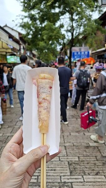
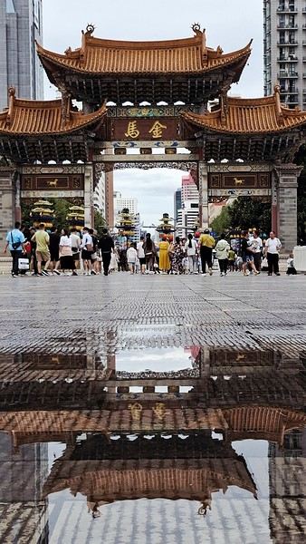

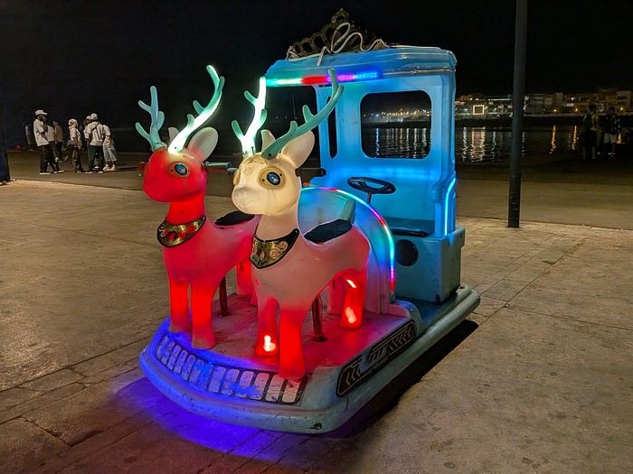
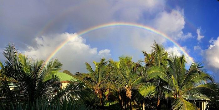
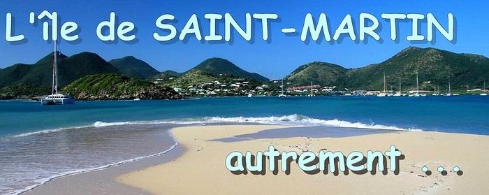 When it comes to the Caribbean island of Saint-Martin, it's customary to praise its coastline and dreamy beaches—and they certainly deserve it.
But in this story, I’d like to highlight other memories, aspects, and impressions for a slightly different change of scenery.
Enjoy the read—some text and, above all, lots of photos.
« Byenveni sou zile Sen Maten! » (Welcome to the island of Saint-Martin)
When it comes to the Caribbean island of Saint-Martin, it's customary to praise its coastline and dreamy beaches—and they certainly deserve it.
But in this story, I’d like to highlight other memories, aspects, and impressions for a slightly different change of scenery.
Enjoy the read—some text and, above all, lots of photos.
« Byenveni sou zile Sen Maten! » (Welcome to the island of Saint-Martin)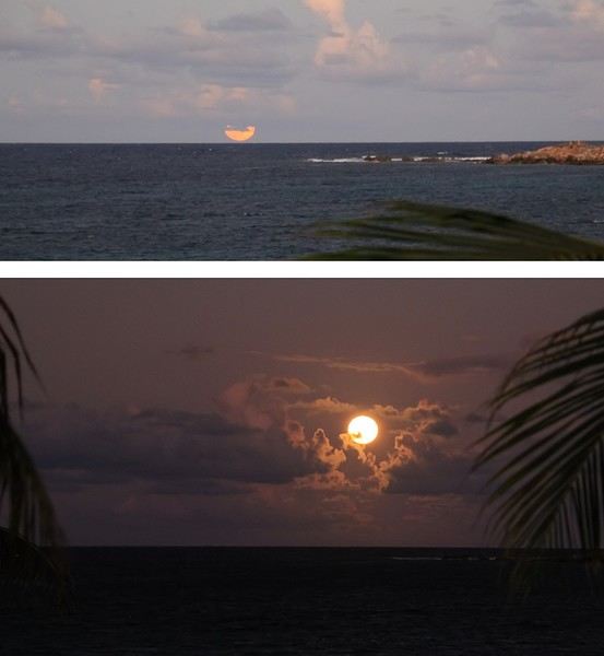

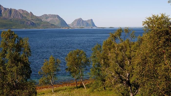
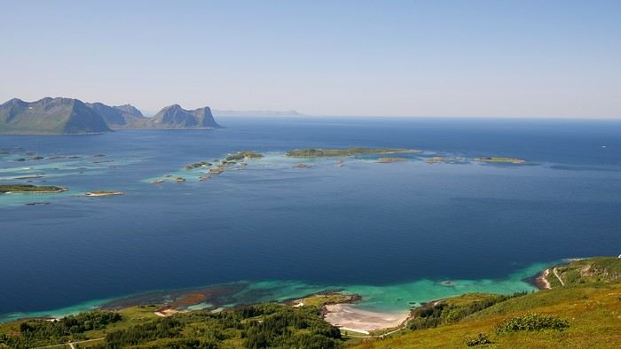
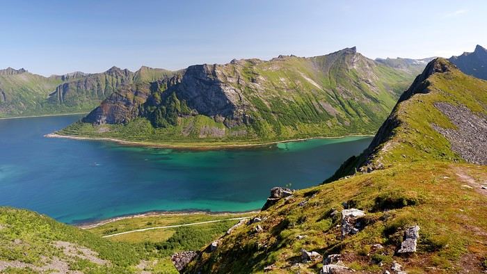
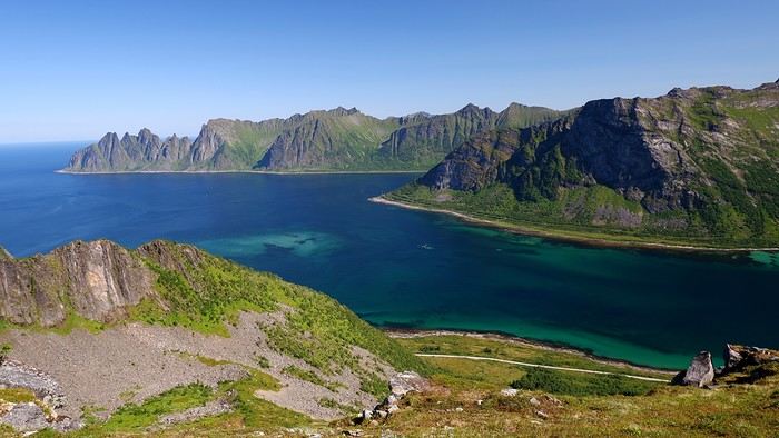


 Come along, I'm taking you to this country where it's so nice to wander and slow down...







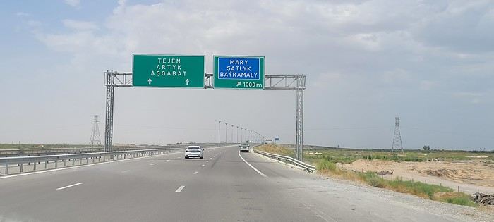
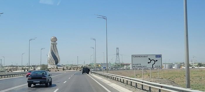
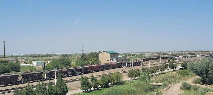
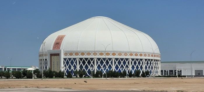
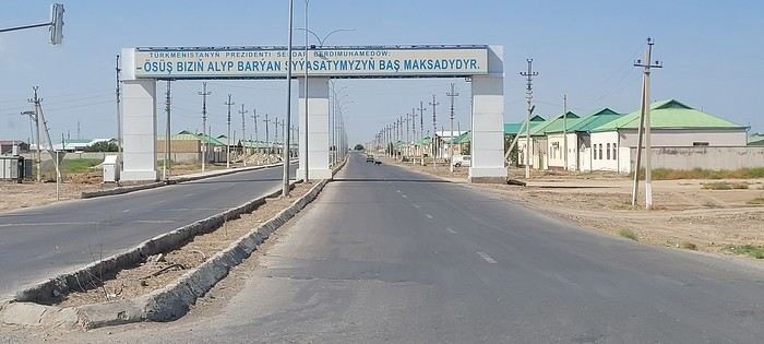
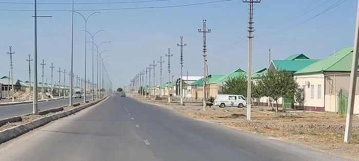 Roundabouts are particularly interesting because they feature emblems of Turkmen culture, like the dog, a carpet, the Ahal Teke horse, or Muslim symbols, even though the presence of Islamic artifacts is quite limited.
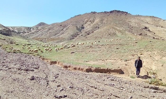
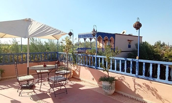
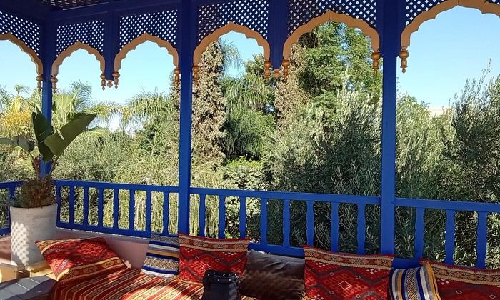 Last October, we landed in Marrakech to spend a few days with family exploring Morocco’s roads.
Transport: a rented Dacia.
Accommodations: small guesthouses.
Last October, we landed in Marrakech to spend a few days with family exploring Morocco’s roads.
Transport: a rented Dacia.
Accommodations: small guesthouses.

 The large solidified magma massifs that shape the heart of the island have created a large depression more protected from the sun at its center, allowing the growth of a vast laurel forest, today grouped within the Garajonay National Park, La Gomera’s green lung, which has earned it the status of a World Biosphere Reserve. Its completely European appearance contrasts sharply with the rocky and tropical landscapes of the rest of the island. Thus, the climate varies greatly from one point to another on the island: in summer, you can quickly go from a dry and sunny valley at 35°C to a humid forest area at altitude at 18°C.

 A little sneak peek?








 I’m inviting you on a stroll through my drawings—a completely subjective, far from exhaustive, and totally personal take, since it’s based on my own sketches. I put this travel journal together after returning in late 2024, mostly using felt-tip pens and pencils, with a few collages thrown in. I worked from our personal photos.
 And in Kyoto, Nishiki Market:



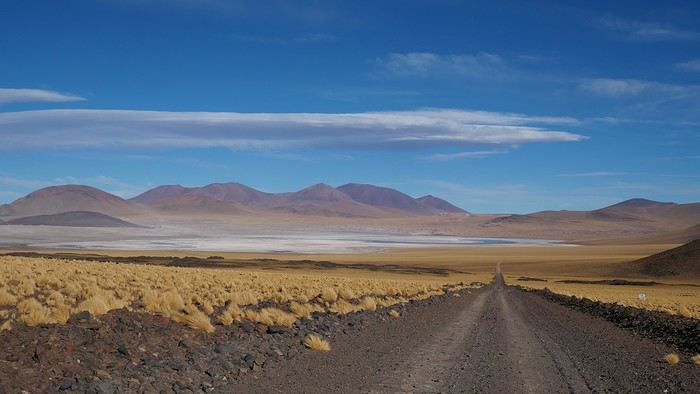
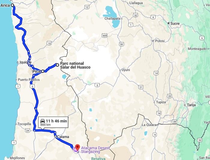 2- Around San Pedro