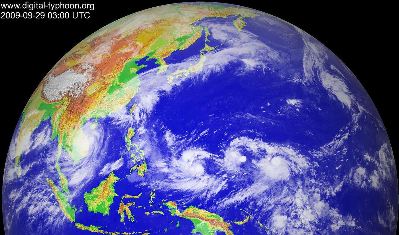
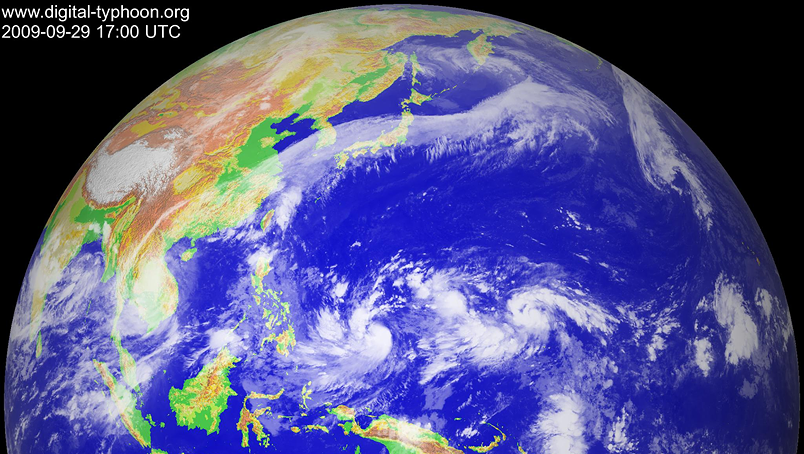
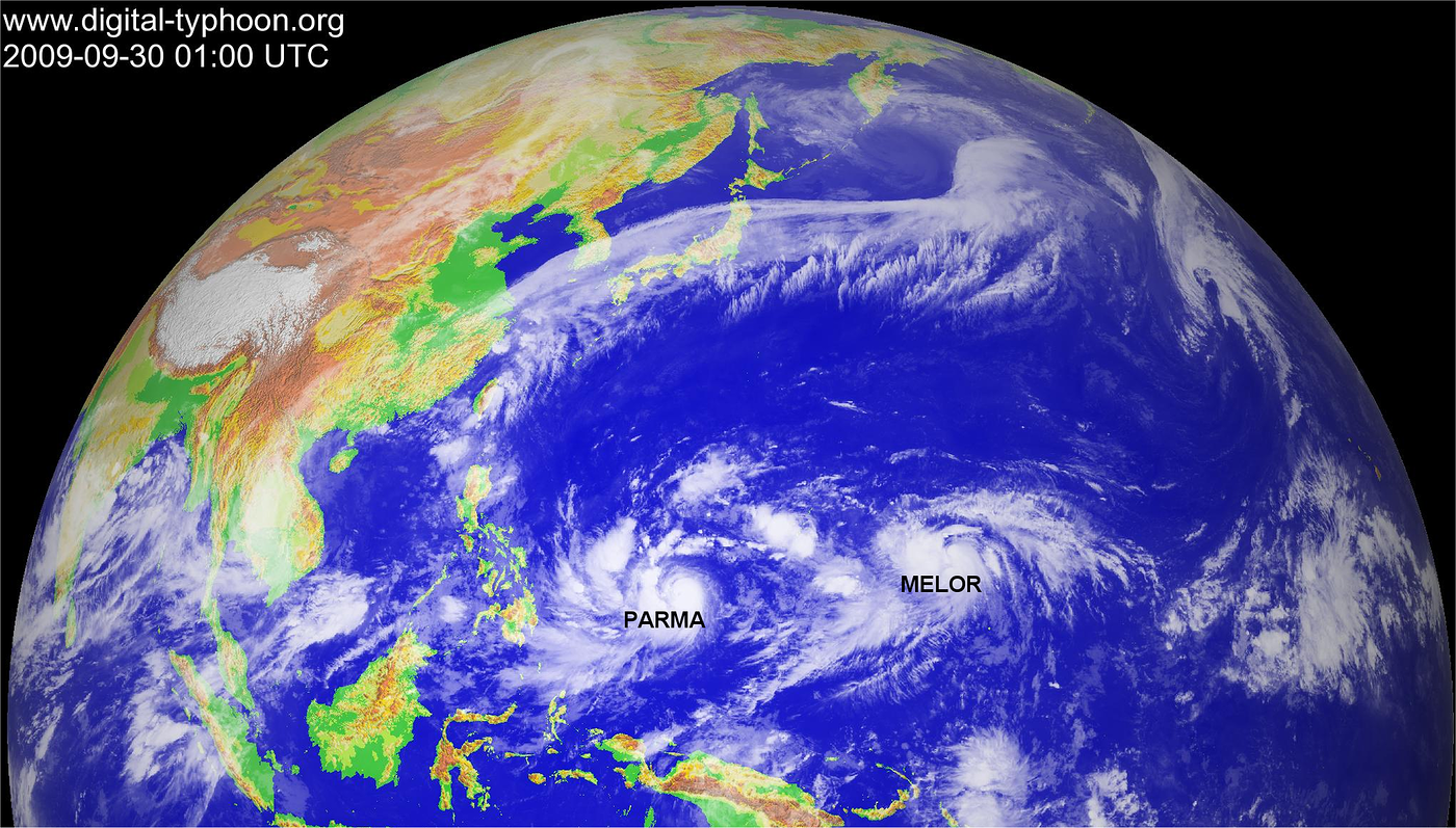
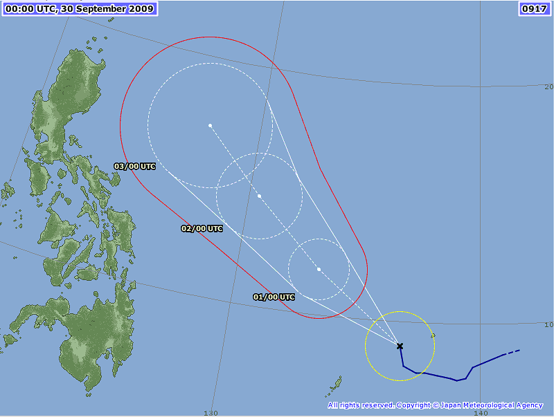
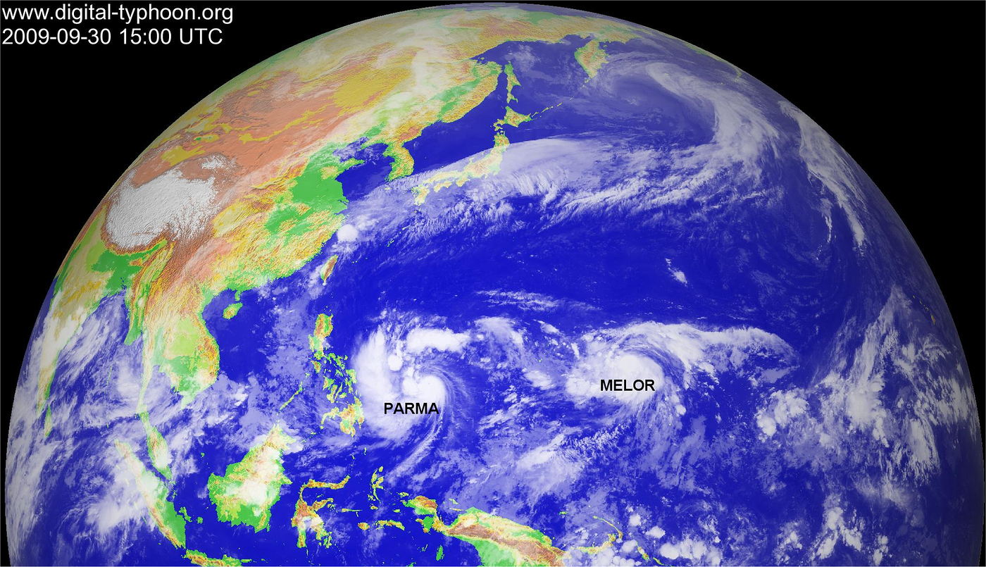
# 19W (PRE-PEPENG) strengthened into a Tropical Storm as it turns WSW closer to Yap and Ulithi Islands in Western Micronesia.
* Residents and visitors along the islands of Yap, Ulithi and Palau should closely monitor the progress of 19W (PRE-PEPENG).
* Kindly refer to your local warnings & bulletins issued by your country's official weather agency. This advisory is intended for additional information purposes only.
+ Forecast Outlook: 19W is expected to continue moving due West for the next 24 hours...shall start turning more WNW then NW-ward later and entering the Philippine Area of Responsibility (PAR) tomorrow afternoon. The 3 to 5-day Long-Range Forecast shows the system still tracking to the NW while over the Philippine Sea...becoming a Category 1 Typhoon when it is about 600 km. to the NE of Bicol Region on Friday evening, Oct 02 or early Saturday morning, Oct 3. It shall be about 300 km to the east of the
Batanes Group of Islands aerly Sunday morning, October 4. Please be aware that long-range forecast changes every now and then. Continued monitoring on this potential typhoon is a must for disaster preparedness agencies.
+ Effects: 19W's circulation has continued to improve with expanding spiral outer bands on the southern quadrant...its developing western outer rainbands continues to spread across Ulithi and Yap Islands and is now spreading across Palau Island. Passing rains and gale-force winds may be expected along these outer bands. 1-day rainfall accumulations of 25 up to 50 mm can be expected along 19W's rainbands...with isolated accumulations of up to 200 mm near the center of this storm.
+ Current SW Monsoon Intensity: MODERATE >> Light to moderate southwesterly winds not in excess of 40 kph with occasional widespread rains, squalls (subasko) & thunderstorms can be expected along the following affected areas: WESTERN LUZON, METRO
MANILA, BICOL REGION,
MINDORO,
BORACAY,
MASBATE, PALAWAN, WESTERN
VISAYAS &
MINDANAO. Possible landslides, mudslides, mudflows (lahars) and life-threatening flash floods are likely to occur along steep mountain/volcanic slopes, river banks, low-lying & flood-prone areas of the affected areas.
+ Tropical Cyclone Watch:
(1) Tropical Depression 18W (UNNAMED) located east of TS 19W (PRE-PEPENG) remains weak as it tracks WNW-ward passing near Chuuk Island. Click here to view the latest T2K advisory on this system :
www.typhoon2000.ph/micro2.html
(2) Typhoon KETSANA (ONDOY) attaining Category 2 strength as it approaches the coast of
Vietnam...continues to show a ragged EYE. Click here to view the latest T2K advisory on this system :
www.typhoon2000.ph/micro3.html
Kindly click the cool T2K Graphical Satellite Analysis, issued everyday @ 2 PM PST (06 GMT) on various tropical systems roaming the Western Pacific Ocean.
[Important Note: Please keep in mind that the above forecast outlook, effects, current monsoon intensity, & tropical cyclone watch changes every 6 to 12 hrs!]