Hi,
If I understand correctly, you want to follow the lateral canal along the Garonne and then the Canal du Midi. You're in for a treat! Wild camping is totally possible all along the canal. I’ve just never had the courage to bring a tent myself.
I just got back from my first group trip—it was also my first activist hike and my first bike-camping adventure, and it all took place in the Lot Valley:
http://toulousevelo.le-pic.org/velotroute2011/
Soon, this site will have photos from the trip, videos, and my poems. France 3 will air a 5-minute report on it at 1 PM in August.
Have a great vacation!
Facteur4 : Objectif pour 2050 de diviser par 4 l'émission de gaz à effet de serre.
Absolutely, I'm planning to leave from Nantes to reach the coast and then head inland along the canals of the Garonne and the Midi to see the "little sea"!
Your reply reassures me and confirms my travel plans—I’ll probably be hanging out by the canals this summer!
Safe travels, and don’t hesitate to share the date of your report when you know it!
Broadcast of the activist cycling documentary "Vélorote" in the Lot Valley:
As agreed, I’m sharing the scheduled air date for the documentary we filmed with you in Estaing and Espalion.
Barring any breaking news, it’s set to air on Tuesday, August 2nd at 7 PM.
Please pass this along to anyone else who might be interested.
Have a great summer!
Christine VINCENT-VALDENAIRE
Journalist, Writer, Reporter
France3 SUD
Facteur4 : Objectif pour 2050 de diviser par 4 l'émission de gaz à effet de serre.
Permanent site for the Lot Valley bike route:
https://velotroute.le-pic.org/
Select the "2011 hike" tab.
You can read the poems I wrote to thank the organizers:
Julien Savary, Jean-Louis Charpenteau, Nicole and Michel Sicard, Gérard Roou... by clicking on Gilles' poems.
Ever since I discovered the *rigole de la plaine* (see my travel journal, page 1, March 2007), which supplies water to the Canal du Midi from Lake Saint-Ferréol:
http://www.tourisme-revel.com/...ne/saint-ferreol.php
and became fascinated by Pierre-Paul Riquet’s work, I’d dreamed of taking my family on this idyllic GR trail. But it’s 140 km from our home (a distance I’ve covered in a single day against a headwind!). It took our nephew’s visit for my wife, son, and I to finally make the trip—doing what I consider heresy: driving 280 km just to go for a bike ride (same as driving to the sea or mountains for a day).
Of course, I have roof racks with a mount and a bike rack on the tow hitch, and we’ve gone on vacations with all five of our bikes (we have three kids). But I don’t remember ever using the car just to go biking. I always ride from home or our vacation spot, or take the train. Transporting four bikes on the car requires a lot of prep. For the first time, I chose a trailer (since it’s small, it’s tricky) to avoid hurting aerodynamics and increasing fuel consumption. The only upside is that it lets our son log extra hours for his learner’s permit.
We reach the Seuil de Naurouze, right by the Canal du Midi. Here, the water hesitates between flowing east to the Mediterranean or west to the Atlantic:
http://www.canaldumidi.com/...Partage-des-Eaux.php
The diagram at the bottom of the page clearly shows the 40 km of the *rigole de la Plaine* and the Saint-Ferréol basin (6).
We park behind two vehicles belonging to hikers near where the GR 653 crosses the D6113 (the old N113).
The dirt path along the *rigole* is lovely, shaded by trees—plane trees, pines, and oaks. But you’ll need a mountain bike (MTB) or hybrid due to roots, grass, and some rocks. After covering 18 km in 1.5 hours, we reach Étang de Lenclas, where we have lunch under the heather:
http://www.relaislenclas.com/.
It’s tough to get going again after a big meal, especially as the temperature rises and my wife is already sore. But since we’ve just left the Aude for Haute-Garonne, the trail turns into a pleasant packed-dirt path. We still have 17 km to go, and I tell my wife she’ll love it. But her legs are hurting too. The *rigole* leads us to Revel. To keep cyclists off the busy road climbing to the lake, the *Conseil Général* built a bike-only route. It’s paved or concrete with grooves because it’s steep—up to 18%. We have to push our bikes. My three companions start worrying about not seeing the Saint-Ferréol basin and the return trip. We meet a family of campers with four young kids who also ate at Lenclas. They’re all struggling in the sun. The youngest is ahead alone since he’s not carrying anything, while the parents with trailers have to stop to help the others push their bikes. We can’t give up when we’re only carrying ourselves, so we make it to the lake, where a swim is a welcome relief among the many Toulousains and tourists.
After 5 p.m., we start the descent, and our brakes are working hard. Then we’re back on the *rigole*. The boys, always ahead, have to wait longer at each stop because my wife is exhausted. It’s her first time covering 70 km by bike, and on a dirt trail at that. The boys start packing up the bikes since I’d asked my son to do it and given him the car key. I drive us home, arriving at 11 p.m. He recovers in the backseat to start his summer job from 6 a.m. to 2 p.m.
A fantastic ride—best if you’re somewhat trained, but doable for kids since there are no cars on the entire route.
Facteur4 : Objectif pour 2050 de diviser par 4 l'émission de gaz à effet de serre.
Not only has Gironde made numerous improvements for cycling, but its General Council also responds to emails—unlike others that don’t even reply to letters.
Mr. President of the Gironde General Council,
I’ve crossed your large and beautiful department by bike several times, and I’d like to congratulate you again on your superb cycling network.
During my last bike trip, returning from Brittany: http://voyageforum.com/...post=4296452#4296452
I was surprised not to find your cycling trails guide: http://www.voiesvertes.com/...les_gironde_2008.pdf
at the Soulac tourist office. It was at the Montalivet office that I got a brochure covering only the local trail, and I learned that it had deliberately not been reprinted to save money. I think this is a strategic mistake because it’s hard to navigate your trails without this precious guide. Although the routes are signposted, the directions are sometimes unclear, and when two trails intersect, it’s easy to take the wrong one without a map.
This guide also has the advantage of inspiring people to explore your department by bike. If a tourist comes across it, they might want to return with their bike to enjoy your network. It can attract many foreigners—others have understood this well. For example, Brittany distributes this beautiful guide without ads: http://fr.calameo.com/...00001315a4af9c366225
If it were necessary to charge one euro for it, that would be a small price to pay—the important thing is that it’s available to the public.
Additionally, I took the Royan ferry, and I was able to check the schedules online before leaving La Tremblade. When I saw it offshore, I realized I’d missed it. Looking at the sign at the boarding point, I finally understood that I’d read the schedule backward. I asked the employee while paying for my passage and learned that 50% of people make the same mistake.
With such a low success rate, the issue seems to be with the message rather than its comprehension. Why not display "departure from Royan or Le Verdon" instead of "departure Royan, Le Verdon"?
Do you measure the consequences of such ambiguity?
For example, someone might rush to catch the ferry they think is about to leave and have an accident because they thought they were well ahead of schedule.
I hope it will be possible to improve the readability of the schedules. This would help a great many users.
Looking forward to your response, please accept my respectful regards.
Hello Sir,
We have taken note of your comments. You can find our brochures in digital format on the website www.tourisme-gironde.fr; not all are available yet, but it won’t be long. We have also noted your remarks about the ferry schedules—feel free to contact me if you need more information.
Best regards,
Lydie Bordes
Tourism Project Manager
Tourism Department
Environment and Tourism Directorate
05 56 99 33 33 - extension 5643
However, no response to my request for clarification:
Thank you for your quick reply.
Bravo for these cycling travel journals: http://fr.calameo.com/read/0002587130204c3712921
I see you’ve used the same provider as Brittany. Oddly, on my screen, the accents only work on every other page.
You didn’t tell me if this brochure will be available at tourist offices.
Regarding the ferry schedules, is the problem known? Is any action being taken?
Facteur4 : Objectif pour 2050 de diviser par 4 l'émission de gaz à effet de serre.
It took 7 months and a follow-up email to get a response to this letter addressed to the General Council of Seine-Maritime:
To the President of the General Council of Seine-Maritime
Subject: Cycle paths and greenways
I use my bicycle every day of the year to get from home to work. I don’t deserve much credit for it since the trip is only 6 km in pleasant riding conditions.
I also go on vacation by bike. To inspire others and show how easy it is to travel hundreds of kilometers, I’ve documented my various trips on VoyageForum:
http://voyageforum.com/v.f?post=1000920#1000920
I’ve traveled along the Canal Latéral à la Garonne and the Canal du Midi several times. I know how different it is to ride a loaded bike (30 kg) on a dirt towpath with stones and roots compared to a paved path. That’s why I want to congratulate your department for its contribution to the superb Voie Verte du Pays de Bray, which lets you discover the Norman countryside in a beautiful green setting without being exposed to cars:
http://voyageforum.com/v.f?post=3953723#3953723
I took it a step further by going on a business trip by bike. I wouldn’t have considered it without such infrastructure:
http://voyageforum.com/v.f?post=2799841#2799841
I’m very interested in the Avenue Verte project, which will allow cycling from Paris to London. While the 2012 Games should have spurred progress, it seems nothing’s moving. Could you tell me the status of this project?
Looking forward to your response and hoping you’ll continue supporting sustainable transportation, please accept my respectful regards.
As I suspected, it’s a no-go for the Olympics.
I’m even skeptical about the temporary route.
But there’s hope for the future—at least on the Seine-Maritime side.
Facteur4 : Objectif pour 2050 de diviser par 4 l'émission de gaz à effet de serre.
Since you're a passionate enthusiast of the Canal du Midi...
I wanted to share my concern and sadness upon learning that the 42,000 plane trees along the Canal du Midi are going to be cut down in the future!!
This isn’t a joke, unfortunately... it’s official! And it’s due to the damage caused by an insect...!
The felling has already begun..🙁 ...and even though it will take months... maybe even years... the outcome is fatal for these plane trees that give all the charm to this beautiful canal!
I’d like to raise awareness about this issue and ask you, my dear friend... your point of view.
Hello,
Indeed, the disappearance of the plane trees along the Canal du Midi is a disaster.
They wrap the waterway in a lush green canopy, enhancing its path and making it easy to spot from land or sky. But their role isn’t just aesthetic—they don’t just provide shade for visitors.
They stabilize the banks’ soil and reduce water evaporation by casting shade between the two shores. Even more impressively, their non-decaying leaves lining the bottom ensure underground waterproofing.
Their importance can’t be overstated. Without them, keeping the canal continuously supplied with water will require much more of it.
There’s a discussion on this topic here:
http://voyageforum.com/...%20canal%20du%20midi;
Here’s some info from Voies Navigables de France’s website:
http://www.sn-sud-ouest.developpement-durable.gouv.fr/...e-contre-l-a432.html
Including an informational brochure for local officials.
It’s not an insect but a fungus. We often forget that on our planet, there’s the animal kingdom, the plant kingdom, and fungi.
Their role in the ecosystem is huge—for example, in how plants absorb nutrients from the soil. (That’s why you should never plow too deeply, to avoid disrupting their activity.)
Unfortunately, in this case, the activity of *Ceratocystis platani*, which causes canker stain, is devastating. Introduced by our American allies in 1945, it took hold in France.
But it was the internet that recently spread it along the Canal du Midi. No, not a computer virus—when digging a trench to bury fiber-optic cables along the waterway, infected roots were cut, and the tools spread the fungus...
Thanks for your interest.
Facteur4 : Objectif pour 2050 de diviser par 4 l'émission de gaz à effet de serre.
Seine-Maritime wins the top prize for European Greenways for its role in creating the Avenue Verte Paris-London, which I’ve mentioned here:
http://voyageforum.com/v.f?post=3953723#3953723
and here:
http://voyageforum.com/v.f?post=4579775#4579775
With the arrival of spring, here’s an invitation to get the bikes out with your sweetheart:
I’ll soon take
My love to the water’s edge
By the Garonne Canal
Where romance purrs
To the rhythm of bikes.
Intoxicated by the scents of blooming flowers
And all the colors nature flaunts
Near the lush plane trees
And their soothing reflection
We’ll savor the moment.
The midday sun
Whose reflection smiles
Whetting our appetite
I’ll invite my muse
To the lock keeper’s house.
At the friendly restaurant
La Poule à Vélo
Eating by the water
We’ll return often
To spend sweet moments.
Facteur4 : Objectif pour 2050 de diviser par 4 l'émission de gaz à effet de serre.
Lovely poem to celebrate spring!
As for me... it's happening! I'm going to ride the Canal du Midi by MTB, all 240 km of it, for the first time... 🙂
Between April 21st and April 27th.
Maybe we'll cross paths?!
Thanks Aesper,
I actually spent many hours writing up all the accounts of my trips along the canal between the Two Seas to showcase all its advantages. My goal was to convince people that this kind of trip is accessible to everyone.
I didn’t choose to put them in the "Travel Journals, travelers' texts" section where they’d just sit unnoticed. It was VoyageForum that moved them out of the "Cycling Travel" section where they’d be much more useful.
I’m tempted to start a new thread just to add a link to all this info—which, as you mentioned, is helpful for anyone wanting to enjoy the charm of the Canal du Midi and the Canal de Garonne, whether by reading, walking, or cycling. But I don’t want to overload this great forum.
Facteur4 : Objectif pour 2050 de diviser par 4 l'émission de gaz à effet de serre.
I set off at 9 AM from home and after 2 km, I reach the lateral canal of the Garonne.
Near the port of Valence d’Agen, at the old municipal slaughterhouse, the rest stop welcomes hikers, cyclists, and camper vans from March to October.
See photos here: http://voyageforum.com/...post=4229381#4229381
A year after opening, it’s still in great condition.
I plan to head to Montauban by following the lateral canal of the Garonne to Montech, then the eponymous canal that allows boats to reach the prefecture of Tarn-et-Garonne. (see first photo below)
More history here: http://voyageforum.com/...post=1919131#1919131
By 11 AM, after 20 km, I arrive in Moissac, where I buy almond croquants at the market and enjoy them by the Tarn.
In 30 minutes, I reach the Yves Cousteau port in Castelsarrasin, where boat maintenance is still ongoing.
After a long period of inactivity that saw the canal freeze this winter, pleasure boating reopens at the end of March.
After admiring the water slope at 44 km, I arrive in Montech with its charming little port. It’s already 12:15 PM, and luckily, I don’t plan to have lunch at the *Eclusier* restaurant, which is waiting for a new owner.
I take the fork toward Montauban. Unlike the Garonne canal, the 11 km of the towpath here have remained unpaved. The banks are badly damaged by the combined effects of boat waves and coypus. Ongoing work with sheet piles (later cut to level) between water and land gives hope for new developments. But despite the short length of the Montech canal, the surface varies greatly depending on the work sections. Here, large stones after a bridge renovation; there, rubble after bank alignment with wood; or even pebbles mixed with dirt. Smooth, bike-friendly dirt sections are rare, though fine gravel ensures good riding near Montauban.
There’s always something happening on the canal. Almost every 10 km, there’s an interesting town to visit and a port (which makes sense on a waterway), except by boat, it would’ve taken me much longer to see as much.
After the port of Montauban (55 km), the water from the Montech canal rushes under the railway and road, and through two locks, allows boaters to descend into the Tarn. I can follow it by taking a staircase that leads to the rowing club.
It’s already 1:30 PM, and I won’t go any farther. Feeling bold, I join the only couple dining on the sun-drenched terrace. The other customers at the nautical club’s restaurant preferred the shade inside. They really should put out the umbrellas (but next week, it might freeze again). The nautical club’s salad is delicious and will be enough for me to hit the road again under the midday sun after refilling my water bottle with fresh water kindly offered by the restaurateur.
Luckily, my panniers aren’t too heavy to climb the lock staircase.
A man tells me the other tunnel would’ve been more practical (the one I took in 2008). He adds it’ll take me 1 hour to return to Valence. I say more like 4.
He’s already covered the 11 km of the connecting canal by MTB in 20 minutes. That’s an average of 33 km/h, I tell him. My max recorded by the counter this morning was 31.6 (probably a downhill). I add that I went to the market and took photos. He then reached Toulouse in 1 hour!
Actually, he’s a fisheries warden. With his binoculars, he observes and fines offenders. I think to myself that on foot, he won’t see many.
It takes me 1 hour to cover those cursed 11 km, walking sometimes due to digestion and a sore backside. For the 44 km between Montech and Valence d’Agen, I’ll have a headwind and will only arrive painfully at 7 PM—5 hours for the return (4 hours on the way out, sightseeing included). Total: 110 km in 10 hours.
As I approach Valence, I cross paths with a cyclist on the path. He invites me to stop, but his pace isn’t very inviting. He tells me I can take a shower at the old slaughterhouse and sleep there. I thank him, but the rest stop closes at 6:30 PM in spring, and it’s not an overnight stop. I wonder where he’s headed with his undersized bike and basic gear.
That’s how a Saturday could’ve turned into a pleasant day of port-hopping if the northwest wind hadn’t picked up. It’s a regular in the Garonne Valley, which it sweeps through.
Facteur4 : Objectif pour 2050 de diviser par 4 l'émission de gaz à effet de serre.
I was reading your travel journals and saw that you have waterproof VAUDE panniers... I'm interested because I'd like to buy some too!
What's the capacity of yours? Are they 2x20 liters at the back?
I was thinking of getting 2x12.5 liters for riding along the Canal du Midi.
Hi Juju83,
Yes, I think they hold 2 x 24 L. I’m happy with these panniers. But even though I’ve ridden several thousand kilometers with them, I’ve never really had the chance to test them in heavy rain. That might change soon, though. I have to leave on Wednesday with my son to do Valence d'Agen to Cap d'Agde in 3 x 100 km, and the forecast calls for rain.
For this trip, I just bought the matching VAUDE handlebar bag. It’s tricky to outfit my son’s full-suspension MTB for touring...
Besides a mini rack attached to the seatpost and a handlebar bag.
PS: I assume you accidentally copied a large part of one of my travel journal entries. Could you delete it? No need to waste digital space (it’s not virtual).
Facteur4 : Objectif pour 2050 de diviser par 4 l'émission de gaz à effet de serre.
Actually, my son didn’t want to go because of the rain (too bad—it seemed moderate and the wind was favorable).
A week of prep for nothing, and I spent Tuesday afternoon putting on fenders to keep him from getting splashed.
This morning, no rain, so we just did a short 22 km ride in the area.
Juju83, I hope you have better luck with your hike along the Canal du Midi.
Facteur4 : Objectif pour 2050 de diviser par 4 l'émission de gaz à effet de serre.
Oh, it's too bad your ride didn't work out😐...
It's true that this April has been pretty gloomy, with rain often showing up...
I need to travel from Toulouse to Agde between Monday the 23rd and Friday the 27th, averaging at least 60 km per day.
(Total of 4 days: 240 km)
Like you said, I hope I'll escape the rain!
I'm currently fixing up a second-hand hybrid bike I bought—still not done. (Installing fenders, a rear rack, lights, a speedometer, etc...)
With two new waterproof ORTLIEB panniers, 12.5 liters each, on the back... I think it's a good long-term investment in the end. 😉
You haven’t answered my previous question about the unintentional repetition.
Since we didn’t have bikes, my wife, son, and I drove to Cap d’Agde, picking up our daughter in Toulouse along the way. They were supposed to join us there if we’d finished our cycling route along the towpath.
The four of us were able to walk it from Agde to the Bagnas nature reserve. (See photos below.)
As you mentioned in your post: http://voyageforum.com/...post=4640086#4640086
there are a lot of trees marked like in your photo, and you can find the locations and dates for the felling of the 40,000 plane trees here: http://www.vnf.fr/canaldumidi/chiffres-cles.php
The state will only cover a third of the 200 million € needed for replanting, leaving the rest to the regions with a call for sponsorship...
I hope you’ll make it to Agde to see that the round lock isn’t round anymore since it was enlarged (the change in materials is visible on the far right of my photo) to meet the Freycinet gauge: http://www.canaldumidi.com/...gde/Ecluse-ronde.php Its original shape was due to the fact that it allowed boats to continue their journey toward Sète by taking the Hérault or to head down the Canalet to reach the Mediterranean via the Hérault’s *grau* (canalized estuary).
The last lock before the Thau lagoon, the one at Bagnas, wasn’t spared from the necessary chainsaw work on the plane trees doomed by the fungus.
But the Canal du Midi isn’t safe from other, even more voracious predators.
The state, through VNF, is gradually abandoning the canal’s maintenance, letting it silt up. Especially since the passage of heavy commercial barges, which used to scrape the bottom and push sediment to the sides, stabilizing the banks, no longer happens.
We could slowly see the canal dry up, despite the immense water reserve of the Montagne Noire, which VEOLIA is eyeing greedily.
It’s time to put an end to the UMP’s shady dealings (for example, giving a huge chunk of TV advertising revenue to private channels by banning ads after 8:30 PM on public channels).
As Stéphane Hessel urges us, let’s get indignant and resist. Our heritage isn’t merchandise! A new wind, imbued with Equality, Fraternity, and the Public Good, must flow through France’s canals.
Facteur4 : Objectif pour 2050 de diviser par 4 l'émission de gaz à effet de serre.
Thanks for your message with the photos... really interesting!
I can't wait to be there because it's been 4 years since I last went to the Canal du Midi.
It's still so sad to see those condemned trees 🙁...
Let's hope the region's tourism interest will save the Canal du Midi for the next few decades.
It's a heritage site that needs to be maintained so future generations can enjoy the place.
PS: I don't know how to delete the "forwarded" and therefore useless message. If you could explain...
Anyway... maybe, with luck, we'll cross paths next week.
When you're logged in to VoyageForum, you can Reply to other members' messages. Plus, you can Edit your own posts (even old ones).
Just select and delete the unnecessary part, then click Save Changes.
Facteur4 : Objectif pour 2050 de diviser par 4 l'émission de gaz à effet de serre.
The state, through VNF, is gradually abandoning the maintenance of the canal, letting it silt up.
[...]
It’s time to put an end to the UMP’s shady dealings (for example, giving a huge chunk of TV advertising revenue to private channels by banning ads after 8:30 PM on public channels).
For those interested, VNF’s status was established by the Rocard government and voted on by the Cresson government—two prime ministers with little connection to the UMP.
According to Wikimedia: "VNF is a public industrial and commercial establishment of the state, thus governed by private law"; this means the state (in short, us) doesn’t have as much control over this institution as it would if it were fully under state status.
If you want to criticize VNF, at least include these two pieces of info.
And who’s going to put VNF back under state control? Our UMP minister!
Another excerpt from Wikipedia: "On August 30, 2010, the Council of Ministers adopted a bill on the National Waterways Agency, presented by Nathalie Kosciusko-Morizet, Minister of Ecology, Sustainable Development, Transport, and Housing."
"This law is presented as aiming to modernize the public waterway service to make it more ‘competitive’ while meeting certain objectives of the Grenelle Environment Forum. It aims to contribute to modal shift by enabling a shift to waterways. It also aims to contribute to ‘sustainable development and land-use planning, particularly through the preservation of wetlands and the necessary measures to restore ecological continuity, flood prevention, heritage conservation, and the promotion of river tourism and nautical activities,’ or even by exploiting, ‘as a secondary activity and without harming navigation, hydraulic energy through installations or works located on the public domain mentioned in Article L. 4311-1 of this code, in application of Articles L. 511-2 or L. 511-3 of the Energy Code(...)’."
And VNF, regardless of its statutes, missions, or the government that establishes them, is not responsible for the spread of the colorado disease, the cost of replacing thousands of trees, the gradual decline in river traffic, or the physical laws governing sediment movement.
Moreover, the connection between the pleasant removal of evening ads and the colorado disease escapes me.
If you want to talk politics and push your rather subtle ideas on the matter ("It’s time to put an end to the UMP’s shady dealings"), there are plenty of forums for that—thanks. It’s all the more unfortunate because the other info you provided is very interesting. 😉
Thanks a bunch for getting me back on the right track.
And I’d like to congratulate Nathalie Kosciusko-Morizet for her work within the Grenelle Environment framework for public water management. However, many are disappointed by the limited impact of this Grenelle. Proof of this is the recent decision, just before the elections, to delay the implementation of measures against visual pollution from advertising billboards—even though it was approved by the Grenelle. This shows that, systematically, commercial interests take priority for the current government.
Sorry again for this detour off the towpath. In these tense times, let’s not mix politics and travel.
Facteur4 : Objectif pour 2050 de diviser par 4 l'émission de gaz à effet de serre.
You nailed it with that nice play on words to wrap up the digression. Congrats!
As for the billboard story, putting partisan politics aside, it’s not great—we totally agree on that.
Apparently, it wasn’t due to government policy but rather the isolated action of a single MP who went against the government’s and assembly’s wishes, even defying the prefect’s order (i.e., the state) see here. This official preferred to keep the 200,000 € annual revenue for their town rather than ban ads on such a large scale.
Just to recap, the government had finally made the bold decision to ban billboards larger than 8 m² and had identified areas (near schools, etc.) where all ads would be prohibited. Local governments partly rely on the money these things bring in, so seeing MPs (regardless of their party) choose to reduce visual pollution—even at the cost of losing funding—was a pleasant surprise. And (another topic) neon signs left on all night? To me, that’s visual pollution *and* a waste of energy.
I’m really glad to see you’ve changed your mind about ads. I thought you missed them on public TV, but I’m happy to see you can’t stand them in urban landscapes either. On that, we’re on the same page.
Back to the topic: it’s great to inspire fellow cycle-travelers like us to take towpaths, whether they’re stony or paved. It lets you cover quite a few kilometers even if you’re not super confident in your physical abilities.
For now, I’m leaning toward the mountains (I love the landscapes, the views, the tranquility, and the solitude of wild spaces), but when I’m a few years older, I’ll revisit this idea.
Happy pedaling, good luck cutting greenhouse gas emissions, and vote wisely—whoever you choose.
Thanks 8cx for the high quality of your info. Actually, I’m grateful to Nicolas Sarkozy for banning ads after 8:30 PM. When I’m still torn between two programs, I pick the one on public TV knowing I won’t have to sit through commercials. Even though France Télévisions’ programs are still formatted for ad breaks.
What bothers me is the reason behind that decision: funneling more cash to his buddies...
I also love hiking in the mountains. What gets me is how I get there. It’s tough to walk to the mountains from my place. Sure, there’s the train option. But since I don’t like hiking alone (unlike biking), the compromise is carpooling with coworkers for a weekend hiking trip in a small group.
Have a great citizen weekend, everyone.
Facteur4 : Objectif pour 2050 de diviser par 4 l'émission de gaz à effet de serre.
Hi Facteur 4,
Do you know if there’s a collective or a patronage group to support the reforestation of the Canal du Midi with trees?
While we’re at it, why not make a small contribution to this cause...
See you, Gilles
En toute chose, l'on ne reçoit qu'en raison de ce que l'on donne.
Thanks for the info. We’ll have to see what the future terms of the sponsorship campaign will be. A few euros for a tree is a good thing—stay tuned...
Safe travels on your future rides.
@+
En toute chose, l'on ne reçoit qu'en raison de ce que l'on donne.
Day 1 Monday 4 June 2012 Valence d’Agen 09:30 Toulouse 17:00 95 km
I won’t go into detail about this part, which has been described many times in previous posts. Just a reminder that the entire route along the Garonne lateral canal is a dedicated, paved cycle path. That means you won’t encounter any cars except for a few exceptions and junctions that might not be paved for a few hundred meters.
As usual, as I approach Moissac, I cross paths with many hikers on the St. Jacques trail. At this time of year, PE class can take the form of a canoe trip on the Tarn. The town famous for its Chasselas grapes welcomes visitors with roses. See the photos below (hover over them to see the name) and here: http://voyageforum.com/...post=5034626#5034626
After Castelsarrasin, I pass a couple of cycle-campers. The woman is struggling to keep up with her husband, even though he’s pulling a two-wheeled trailer. I let her know that he won’t be able to ride on the Canal du Midi towpath—contrary to the info he received that only 25 of the 240 km aren’t developed!!!
I advise the woman (as her husband had already done) to raise her saddle for more power in her legs. But for now, she’s not confident enough, especially with the water so close. She prefers walking, and when I mention the backpack, they describe their setup for following the St. Jacques trail. Early in the morning, the woman and her sister would set off on foot while the husband and brother-in-law took down the tent. Then he’d bike to meet his brother-in-law, who’d be waiting with an apéritif after driving the van (where he and his wife slept).
In those conditions, I go from an occasional walker to a seasoned one.
At 12:30 PM after 43 km, I arrive in Montech, where the lockkeeper’s restaurant is still waiting for a new manager. I have lunch at La Place restaurant, where the worker’s menu is 10 or 12 €.
At 1:30 PM, I’m back on the path. After a few kilometers, I give in to a nap in the grass a little off the canal since my daughter can’t welcome me at her shared apartment in Toulouse until 6:30 PM. After 30 minutes, I’m woken up by music coming from an electric vehicle with a trailer carrying a seat (maybe for friends), like the ones the English love: http://www.practicomfort.fr/...amp;name=Confortable
As soon as they’re even slightly disabled, they ‘rush’ to buy one.
I must’ve picked the wrong spot to relax…
I reach the Ponts Jumeaux after 90 km at 5:00 PM. One bridge crosses the Canal du Midi, the other the Canal de Brienne, which allowed barges to descend into the Garonne before its lateral canal (built 200 years later) existed. Actually, they’re triplets now. In my photo, you can see the difference in brick color.
Still avoiding traffic, which at this hour already makes crossing the road very difficult, I follow the Canal de Brienne (1.6 km) to its end, which leads me to Place St-Pierre, a student hangout with several bars offering terraces. Since I’m both thirsty and hungry, I choose a bakery where I treat myself to a country-style tart with a pint of AMSTERDAM Navigator beer (I’ll understand later why this high-alcohol beer is found here). A trash can labeled MERCI invites me to toss the small cardboard box my cherry tart came in. I ask where to put my can for recycling. The server tells me bars don’t recycle packaging, and it’d be pointless to try explaining it to the young people who’ll occupy the square in 2–3 hours in a drunken state. Yet aluminum is recyclable, and the quantities involved are significant. I tell him it should be like in Quebec, where you get a cent back for returning a can at the convenience store.
Facteur4 : Objectif pour 2050 de diviser par 4 l'émission de gaz à effet de serre.
Day 2 Tuesday 05/06 Toulouse 08:45 AM Lac de St Férréol 5:00 PM 88 km
I’m leaving at the same time as my daughter, who’s heading to her internship fine-tuning microalgae farming (to produce food and fuels).
I quickly find the Canal du Midi, which looks a lot like the Garonne Canal here. In Rangueil, I join the flow of student cyclists and people commuting to work.
The Voie Verte is paved for 50 km up to Port Lauragais.
But at 11:45 AM, guided by my stomach, I leave the towpath after 45 km for Avignonet Lauragais. I arrive at the Auberge du Pilori at exactly noon, where participants in a tourism seminar are gathering. Since they’re eating inside and I’m on the terrace, their blessing doesn’t bother me.
I only need to cover 5 km on the D813 (former N113) to reach the obelisk paying tribute to Pierre Paul Riquet and the Seuil de Naurouze. This is the highest point between the Atlantic and Mediterranean watersheds—the spot Riquet chose to ensure the canal’s constant water supply by creating the St Férréol reservoir, capturing rainwater from the Montagne Noire.
At 1:00 PM, I leave the road for the GR 653, which runs alongside the feeder canal. More info here:
http://voyageforum.com/...post=4462769#4462769
In 2 hours and 20 km, I’ll only cross paths with one hiker, a mountain biker, a squirrel, and two stunning blue mowing tractors belonging to a VNF subcontractor.
The Lenclas rest stop has upgraded to attract tourists, but the inflatable castle’s compressor slightly ruins my lemon sorbet (refreshing) and rum-raisin ice cream (energy).
The transition from Aude to Haute-Garonne brings the appearance of a Voie Verte. The packed earth isn’t as smooth as on my very first trip, but it’s still very rideable. I pass a few cyclists, mostly retirees who’ve parked their camper vans at the Étang de Lenclas. Its 16 km will take me to Lac de St Férréol, where I’ve booked a hotel, already fearing the crowds. But it’s worth the effort because the General Council, to protect cyclists and pedestrians, extended the Voie Verte, which then leaves the feeder canal via a superb 3 km path. For legal reasons, it’s advertised with a maximum slope of 15%, though the company COLAS, which built it, measured up to 18% in places. So, pushing my 30 kg bike, I reach the top after a stop at the water point strategically placed by the Haute-Garonne Council.
I thought I’d swim in the lake (like in the August story), but the Hôtel La Renaissance, where I receive a warm welcome, has a small pool that’s just a bit warmer and cleaner:
http://www.booking.com/hotel/fr/logis-de-france-la-renaissance.fr.html?tab=4&aid=301664&rid=298019706&label=review_am
Facteur4 : Objectif pour 2050 de diviser par 4 l'émission de gaz à effet de serre.
Day 3, Wednesday 06/06 – 08:00 St Férréol to 18:30 Capendu, 88 km
Having ridden it on a small motorbike when I was younger, and based on tourists’ experiences, the hotel owner advised me against taking the *rigole de la montagne* (mountain channel) with my loaded bike from the lake. Yet, discovering this part was the first goal of my trip—I’ve never been here before. Since I couldn’t find the start of the GR trail, I took the D629 to Les Cammazes. The climb warmed me up quickly, and I spent the day adjusting my layers based on clouds, wind, and the ups and downs.
After 10 km, I found the exit of Vauban’s tunnel. It allows the *rigole de la montagne* to switch from one valley to another, diverting water from the Mediterranean watershed to the Atlantic side.
Les Cammazes also had a sign inviting me to follow the channel to Alzeau’s water intake. The path was smooth, and I loved riding through the greenery.
Until I hit a fence completely blocking the trail due to a collapsed bank, with a detour sign for the GR7. The detour led down through a logged forest, then back up to the channel. The path ended with a temporary staircase, forcing me to unload my panniers to haul my bike up. A minute later, I met the only other hikers—a couple. I wished I’d run into them earlier; they could’ve helped! They told me they run the *Gîte du Pèlerin* in Revel.
After a few wrong turns due to channel diversions, I reached the Lampy dam by noon. I was about to eat my cookies and compote on a flat rock when I realized I was at 640 m, the highest point of the water supply network, and the wind was *freezing*. While looking for shelter, I found a restaurant run by Brits—way better than my snacks. I learned this reservoir, built in 1776, was a prerequisite for the Languedoc Canal administration to connect the *Canal du Midi* with the *Canal de la Robine*, which runs through Narbonne.
That’s the second goal of my trip: to follow the *Canal de la Robine* to the sea.
I started my descent toward the *Canal du Midi*, rejoining the D629 at Saissac. My phone finally got signal, and I listened to a voicemail from the owner of *Relais Occitan*, whom I’d tried calling that morning. Her landline was full, and her mobile wasn’t picking up (I later found out she’d gone to Chartres to babysit her daughter, who was defending her thesis). She gave me her husband’s number, but he couldn’t answer—he was driving. Sleeping in a *foudre* (wine barrel) again was well-earned, especially since tonight, two cycling couples would take the first two barrels, a group would stay in the old tiled vat, and I’d fill the last spot in the *gîte d’étape* at Domaine de Beauvoir (the guest rooms were still available).
After 1 km on the D6113, I turned right into Pezens to find the small road to the canal. Riding slowly, I was startled when my keys—attached to my whistle-compass-thermometer—flew out. Did I forget to close my handlebar bag’s front pocket, or did vibrations loosen the zipper? Lucky me: in the steep descents I’d just done (up to 50 km/h), I wouldn’t have heard the metallic jingle that alerted me.
At 14:30, after 50 km, I was back on the towpath, but at a much slower pace than on the pavement. Too bad it was too early to stop at the crêperie at Herminis Lock: http://creperiedelecluse11.wordpress.com/
I was about to take a photo of the towpath’s sorry state—it hosts tourists from all over visiting Carcassonne—but this time, the path was completely closed. Maybe future repairs are coming? See my letter to the *Conseil Général* here: http://voyageforum.com/...post=4162125#4162125
I looked for a bar where I could park my bike and set up my laptop with its 3G dongle in peace. The ideal spot—a terrace right above the canal—was serving its last lunch customers before closing. I circled for a while but couldn’t find a quiet place without traffic or crowds. I ended up buying a cold drink from a vending machine at the train station and moved far enough to be undisturbed but close enough for signal. Sitting on a pine stump by the canal, I had my snack while paying for the next night’s booking with my credit card via my works council’s site.
I saw several trees marked for removal due to *chancre coloré* (a fungal disease): http://voyageforum.com/...post=4641146#4641146
There was an info panel and, for the first time, young resistant plane trees being watered.
At 18:30, I arrived in Capendu. Though I’ve slept in a *foudre* 5 or 6 times before, this was the first time I’d brought a camera to share photos of the outside and inside. Good night!
Facteur4 : Objectif pour 2050 de diviser par 4 l'émission de gaz à effet de serre.
Day 4 Thursday 07/06 08:30 Capendu 17:00 Gruissan 85 km
http://www.relaisoccitan.com/
The Beauvoir estate of Relais Occitan is a member (for over 100 €/year) of Service Compris, which promotes slow tourism along the canal between the two seas by publishing a very useful tourist map for hikers, as it shows distances and which bank to cycle on: http://www.canal-et-voie-verte.com/
While the route from Carcassonne to Marseillette (Capendu) appeared as a solid line, I kept wondering at each crossing where the bike path was. Riding there yesterday, I thought the surface was actually decent. Surprise in the 2012 edition the owner gave me—it’s now dotted. People must have complained. Same correction for the Rigole de la Plaine, whose Aude section wrongly had this route, which should only be for the part in Haute-Garonne where it becomes a Voie Verte.
This morning, I’m back on the left bank at the Marseillette lock, and the towpath really deserves the dotted line with its narrow strip of land where bikes ride through grass, stones, and roots. Another bank change at the Aiguille lock, where the lockkeeper is a wood sculptor. Even the barriers blocking car access leave too little room for bikes (let alone tricycles).
With all these challenges, it’s impossible to average more than 10 km/h. And maybe that’s a good thing when I hear the dull thuds of a piece of wood hitting my front wheel spokes, signaling it’s thick enough to end my ride in the sun. That’s what they call throwing a wrench in the works. Luckily, it slips out to the right when it reaches the fork, and I keep going. I lift the front and spin the wheel—a rubbing noise makes me fear a buckle, but it’s just the brake pad that shifted after hitting the branch.
I can recover from the scare by buying cherries at the next lock. They’re not sweet but refreshing. You can’t be picky this year, when so many crops suffered from rain or even hail ("hay year, nothing year").
Further on, a man holding his bike with a trailer is also holding his wife’s. He warns her too late of my arrival as she’s peeing behind a plane tree. To avoid adding to her embarrassment, I look straight ahead, but our wide field of vision lets me think her white underwear looks brand new.
Since I have good memories of it, I hesitate to eat in Ventenac as I pass the château. I notice that vineyards are being replanted in the area.
It takes me 4 hours to cover the 43 km to Le Somail. But the effort is rewarded with the grocery barge, the stunning bridge, and the Comptoir de la Nature, where I convince the waitresses to set the table on the terrace near the water. The uncertain weather had made them stick to the front of the restaurant.
Facteur4 : Objectif pour 2050 de diviser par 4 l'émission de gaz à effet de serre.
Day 4 Continued – Thursday 07/06 08:30 Capendu to 17:00 Gruissan, 85 km
Settled at Le Somail, they had passed close by me. Back on the towpath, I meet the "pee break" couple again at the first engineering structure. The man is taking a photo of his wife.
I offer to photograph them both. He tells me that’s not the point and that they have a self-timer for that. Maybe he’s afraid I’ll steal his camera?
I quickly reach the intersection with the Canal de Jonction, which allows boats to join the Canal de la Robine that crosses Narbonne.
This Roman city enjoyed significant influence due to its port location. In the 14th century, major floods of the Aude River filled the southern bed and cut Narbonne off from its sea access. The small canals called "robines," used since antiquity, weren’t enough to ensure transport.
As in 2007: http://voyageforum.com/...post=1281472#1281472, I turn right.
This time, I won’t have to empty my panniers, which are removable—unlike the ones my wife bought to play mail carrier in her village one summer, which I had secured to my MTB for my first trips after the fastenings gave out.
After taking photos of my new panniers during the transfer, that evening I get the idea to use them for a riddle I send to my friends, asking what they’re attached to and where. Each day, I send them new photographic clues (see below before reading on).
Despite some wrong guesses, some friends were relentless in solving the riddle. And one person won a bike ride with me along their chosen section of the Canal Between the Two Seas and its feeder network.
The answer: my panniers were attached to the railing of the MOUSSOULENS railway bridge—a Eiffel-type construction that crosses the AUDE River.
It’s the only way for pedestrians and cyclists following the boats using the "Nouvelle branch" to cross the Aude.
(Thanks to Georges11 for his very clear diagram and explanations, which I just discovered):
http://georges11.blogspot.fr/...e-long-du-canal....
Indeed, to reach Narbonne and then Port-la-Nouvelle, boats leave the Canal du Midi via the Canal de Jonction up to the Gailhousty spillway (1786), where the lock allows them to briefly descend onto the Aude River until the Moussoulens lock (1686), which protects Narbonne from river floods. There, they enter the Canal de la Robine (the Aude’s former bed), which crosses the city and allows them to reach the Mediterranean 37 km after leaving the Canal du Midi.
The old ferryboat attached to a suspended cable, which allowed pedestrians to cross, was removed to make way for the automobile society.
The railway bridge itself only remains due to the need to transport uranium for the Comurhex company, located 3 km from Narbonne. It enriches yellowcake from Niger, the first step in producing nuclear fuel in France.
More info here:
http://www.agadez-niger.com/...viewtopic.php?t=4...
So I take the access path—with no signs (see my photo)—located behind the Gailhousty spillway to reach the railway bridge and cross the Aude. Unlike in 2007, when the rails seemed shiny, I find them rusty, with poor fastenings and perforated metal sheets. I wouldn’t mind seeing this bridge turned into a greenway. First, I carry my bike down the stairs, then my panniers.
A few meters along the riverbank, and then the start of the "Littorale" cycling route, which begins by following the Canal de la Robine.
Facteur4 : Objectif pour 2050 de diviser par 4 l'émission de gaz à effet de serre.
Day 4, end of Thursday 07/06 08:30 Capendu - 17:00 Gruissan 85 km
I reach Narbonne where a bike sign seems to indicate a detour due to ongoing construction, but I end up on the wrong bank (right side) in a dead end, passing twice through a narrow and low-clearance section that forces me to dismount from my MTB.
I have to mix with traffic in the city center where pedestrians and cars are already struggling to coexist and only manage to follow the left bank after 1 km. I leave the city of Charles Trenet at 3:30 PM after 64 km. The riverside path is busy but has suffered damage from bad weather. It was a bit early to eat in town. I arrive at the fork at 4:00 PM and 71 km. Remembering I still have some cherries, I continue a little toward Port-la-Nouvelle to take a break in front of a rice field. Then I head back to La Littorale where two men are marking a hike on the old Domitian Way for the weekend.
After a stretch on small roads, I pass a German couple on the Greenway with its brand-new surface. A bit of wind forces the man to wait for his partner. Gray skies over the circular village of Gruissan around its castle built on a limestone hill that, in Roman times, emerged from the sea.
Without leaving the bike path, I reach my works council’s holiday village at 5:05 PM and 85 km. I thought reception would just be opening, but at this time of year, it has already closed. I find the keys to my cottage, sheets, and my electronic badge at my disposal. I even have the code for the perimeter fence, which lets me access the nearby seawater pond:
http://rsl.cepralmar.com/sites/c04/2006.html
I can then take advantage of the cooked meals service. To eat on-site, you’re asked to bring your own cutlery, and I’m surprised to be refused my plate for the lamb stew with olives. It’s forbidden to enter the kitchen for hygiene reasons. I’m served in a disposable dish. Even though my colleagues will be happy not to have to wash dishes and it’s biodegradable, I find this stupid. In the Aude, there’s no collection of compostable waste, and mixed with other trash, it’ll just add to the pile of household garbage.
Since I can’t exceptionally dine on-site, I place my dish at an angle on my plate inside the plastic that wrapped my sheets, serving as a transport bag before becoming a trash bag.
I wander around for a while looking for my lodging among the 467 and arrive with my pants stained with grease marks I’ll never manage to remove.
More luck with the weather: it’s at 8:30 PM that large hailstones hit my cottage, several hours after I left my bike.
Facteur4 : Objectif pour 2050 de diviser par 4 l'émission de gaz à effet de serre.
Day 5, Saturday 09/06: Gruissan 08:45 AM – Capendu 06:15 PM, 87 km
After a rest day where it felt harder to get into the lagoon water, I start the return trip, which I plan to do in 3 days.
I find the greenway again, leading me to Narbonne Plage where I buy 250 g of "gariguette" cherries at a small market. The coastal road somewhat misleads with its name, stopping at Saint-Pierre-la-Mer after just a few kilometers along the coast.
I tackle a small climb to head toward Coursan via the D1118, which is very pleasant but winding, so I prefer to put on my reflective yellow vest.
I probably miss something by not visiting the Gouffre de l'Œil Doux and reach Fleury. After crossing Coursan on the way to Cuxac and Sallèles-d’Aude, I come across many road bikes that benefit from a tailwind.
I find the Canal de la Robine again but choose to continue via Saint-Marcel-sur-Aude to reach Le Somail, one of my favorite spots on the Canal du Midi. Obsessed with the *Comptoir de la Nature*, I realize too late it would’ve been shorter to join the canal at Ventenac, where there’s also a good restaurant. No regrets though, as I enjoy the *assiette du randonneur* with rice from Marseillette, where I’ll sleep again.
This time, I decide to take the time to visit the old books bookstore, but it’s on lunch break, even though it’s Saturday.
I pass the *Tourmente*, proudly announcing on behalf of the independent boatmen’s union: 40 times less atmospheric pollution than the road.
As I’m about to take a macro shot of a flower, Jacques, a hiker from Ardèche cycling toward Sète, arrives. We exchange stories about our travels. He’s been to Cambodia and Laos and is interested in my experience in Quebec.
I offer help to a couple with a flat tire, but they live nearby. I’m almost surprised I’ve never had a flat on my trips after thousands of kilometers.
I unnecessarily booked at the *Relais Occitan* since I’m alone in the *gîte d’étape*. Under the pretext that it might rain, I skip the 4 km ride to dine at *Icix*. Instead, I order a pizza—actually just to use the Wi-Fi and watch *Complément d’Enquête* on sports injuries later.
This is a serious breach of my principles: having a one-ton vehicle deliver a pizza is wasteful, especially since the delivery service is free (which should be banned). Luckily, the Belgian couple staying in the *chambre d’hôte* ordered salads, making the trip slightly less absurd.
Facteur4 : Objectif pour 2050 de diviser par 4 l'émission de gaz à effet de serre.
J6 Sunday 10/06 Capendu 09h Carcassonne 10h 20 km
I meet them at breakfast. When I tell them it’s going to rain, they complain that the path will turn to mud. At the Libron structure, they noticed this message in English: "And 300 years later still not able to build a bike path."
I tell them that the Aude region is finally launching a development study.
I just found out the good news via email from Julien Savary, a very active member of http://af3v.org/.
See info: http://www.ladepeche.fr/...e-canal-du-midi.html
For my part, I decided to take the train in Carcassonne and cover the 20 km to the station by road. As I feared when looking at the D6113 on the Michelin map, after just 3 km, a sign appears banning bikes. Since it’s Sunday, I allow myself to ride on the shoulder and arrive well ahead of schedule after a trip reduced to just 1 hour (long live the pavement).
I’m lucky that the TER train chartered by the region is a Bombardier made in northern France: http://www2.bombardier.com/fr/9_0/9_6.jsp
I can board without removing my panniers because the floor is level with the platform, but for track 3 at Carcassonne station, the only access is via the stairs!
Same type of train in Toulouse. Fortunately, because I only have 10 minutes between the two, and I can’t find the platform access due to construction. I was right to ask the other four cyclists to let me exit the first train first.
With SNCF, you cover in 1 hour the distance of a day’s bike ride, just like the 700 km I had traveled in 7 days to get to Saint-Raphaël and 7 hours on the way back:
http://voyageforum.com/...post=2631582#2631582
This concludes this pleasant 453 km loop, and I recommend enjoying the Canal du Midi before it’s disfigured by replanting work and, hopefully, the creation of the Voie Verte. With the luck of only getting a few raindrops like I did this spring of CHANGE:
We suspected that microparticles from DIESEL engines were carcinogenic—now we’re certain:
http://www.notre-planete.info/...esel_cancerigene.php
France will continue to import DIESEL, but perhaps no longer to support GROWTH.
We thought sports were good for health. We now have proof that the blows taken by competitors cause the same brain damage as Alzheimer’s (more quickly). ATHLETES and FANS will continue to rush to stadiums (preferably by car).
What doesn’t change is that KEROSENE isn’t taxed. It’s true that it’s better to tax sodas than AIR TRAVEL. That’s less likely to draw the ire of the ENTIRE WORLD:
http://www.ladepeche.fr/...recise-pecresse.html (also read at the bottom of the page)
Facteur4 : Objectif pour 2050 de diviser par 4 l'émission de gaz à effet de serre.
Welcome to the Ch’tis: an illusion, a memory that could turn into a nightmare. This film reinforces the idea that French people love to retreat into their cozy little bubbles when the weather gets rough. Denial—a national sport since Alésia. In whining, the French see kindness. In clichés, humor. In the vulgarity of tradition, authenticity. In shared anxieties, solidarity. In the poor French mumbled by underfed welfare recipients, a centuries-old patois.
Northerners aren’t any more or less foolish than people in other regions. Don’t confuse movies with reality. Thanks for the image you’re giving the NNOOOOOOOOooooooooorth! !
Hi there,
I don’t know if you’ve read this entire travel journal after coming across this excerpt from 2008—which isn’t mine, and I’m glad I credited the author:
while reading the weekly *Marianne* that a colleague passed along to me.
An unexpected article by Matthieu Grimpet, “Welcome to the Ch’tis: An Illusion, a Memory That Could Turn into a Nightmare”:
http://voyageforum.com/...post=1865871#1865871
Personally, I’m from Normandy, and I’ve spent a lot of time around people from the North—I’ve always found them friendly.
I’ve since seen the movie on TV and didn’t think it was anything special, at least not enough to justify all the media hype at the time. That might explain the journalist’s take.
I hope this doesn’t stop you from reading the full thread if it interests you.
Facteur4 : Objectif pour 2050 de diviser par 4 l'émission de gaz à effet de serre.
I didn’t miss the chance to reach out to the new Minister of Tourism about extending the Greenway between the Two Seas, especially since she’s also the Deputy for my department:
http://www.artisanat-commerce-tourisme.gouv.fr/...graphie-sylvia-pinel
Once again, my email went unanswered, and I had to send my letter by post:
To Madame Sylvia Pinel, Minister of Tourism
Subject: Bike paths and cycling routes
I use my bicycle every day of the year to get from home to work. I don’t deserve much credit for it since the trip is only 6 km in pleasant riding conditions.
I grew to love traveling by bike while riding along the towpath of the lateral canal to the Garonne. Seeing its surface improve over the years, I set off on bike vacations. To inspire others and show how easy it is to cover hundreds of kilometers, I documented my various trips on VoyageForum:
http://voyageforum.com/...post=1000920#1000920
I’ve ridden along the Canal Latéral à la Garonne and the Canal du Midi several times. I know how different it is to ride a loaded bike (30 kg) on a dirt towpath with stones and roots compared to a paved path. That’s why I want to congratulate our department for its contribution to the fantastic Greenway, which allows you to travel from Bordeaux to Toulouse through a stunning landscape of greenery and water without being exposed to cars.
I also praised my town for its role in promoting soft mobility with the creation of the rest stop at the old slaughterhouse.
As soon as it opened, I posted photos online to inform travelers:
I took it a step further by using my bike for work trips. I wouldn’t have considered it without such infrastructure.
During my last assignment:
http://voyageforum.com/v.f?post=3804254#3804254
I noticed you’re continuing your commitment with the installation of informational panels highlighting the Canal between the Two Seas, directional signs, and ongoing maintenance of the bike path.
It seems wise to keep this momentum going by completing the Greenway along the Canal between the Two Seas, allowing travel from Bordeaux to Sète. This would be a huge benefit not only for local cyclists and French and international tourists but also for professional travel in ways we might not expect.
Currently, the transformation of the towpath into a bike path is stalled in the Aude department. This area is crossed by 150 km of the Canal du Midi’s banks, and it can’t take on this project alone, which has major tourism potential. This is where the state should step in as a driving force for organization and funding, just as it has with replacing the plane trees severely affected by canker stain.
I’m sure you’re aware of the international economic benefits of creating a cycling route along the Canal du Midi, which has a prestigious reputation. Even though the route isn’t fully marked and the towpath is made of dirt, stones, and roots, I’ve already encountered cyclists from South Korea and Argentina, for example.
Looking forward to your response, and hoping you’ll see this project through, please accept, Madame la Ministre, my respectful regards. Gilles Rouland
P.S. I’m also waiting for a cycling route in Toulouse that would show "Paris 700 km." Just like I saw signs indicating long distances on Quebec’s Green Routes when I rode 1,570 km on their bike paths. See photos here:
https://picasaweb.google.com/GillesROULAND
Once I reach Paris, I’ll just have to take the Avenue Verte and the ferry from Dieppe to get to London. You’ll need to support this project too, as all Greenways are accessible to rollerbladers, tricycles, and wheelchairs for people with disabilities.
(The WHO model is based on the study by the Copenhagen Center for Prospective Population Studies, considered the most robust. This institute followed a population of 30,000 men and women aged 20 to 93 living in the city center—both cyclists and non-cyclists—for 14 years. Their living conditions and health indicators were regularly monitored. After adjusting for other risk factors and physical activities, the results showed a significantly higher mortality risk among non-cyclists. Other studies, particularly in China, confirmed these findings.)
This shows that Science and Common Sense can align.
Except in Government: it’s forbidden. They’ll surely find a good reason not to follow the Faculty of Medicine’s recommendations.
Who knows—maybe with the Socialists, there’s hope.
The Transport Minister announced Monday the merger of SNCF and Réseau Ferré de France into a single public rail entity.
We could see electricity production and distribution merged. EDF partnering with GDF.
And why not La Poste merging with France Télécom?
If they hadn’t been separated, thousands of post offices wouldn’t have had to close, and thousands more wouldn’t be forced to sell books, souvenirs, jewelry—and why not candy and phones?
And if we could flip off the European Commission on top of that, it’d be perfect. !
Facteur4 : Objectif pour 2050 de diviser par 4 l'émission de gaz à effet de serre.
I had to change the sprockets and chain on my MTB again. It's annoying when I'm climbing the only hill on my commute (to cross a bridge over the lateral canal to the Garonne) and my momentum in the saddle gets interrupted by a sudden jump in the drivetrain. On the cassette, it's always the 4th sprocket that wears out the fastest because I use it most of the time. Its teeth have become too narrow to hold the chain under heavy effort (see photo below). The difference is striking compared to the teeth on the largest sprocket, which I rarely use (I prefer flat routes), and the smallest one, which I never use (you'd have to want to pedal with the big chainring on descents, which isn't my thing) or cross the chain with the middle or small chainring, which is a no-no. Just a reminder: by design, small sprockets are meant to work with the big chainring, medium sprockets with the middle chainring, and large sprockets with the small chainring. This ensures the chain runs straight, of course. Anyway, it would be silly to use a small sprocket with a small chainring or a large sprocket with a big chainring because you'd get the same gear ratio as with a medium sprocket and chainring, which doesn't put as much strain on the chain.
The problem is that I have to replace the chain (18 €) and cassette (25 €) roughly every two years (receipts from 2008, 2010, 2012). And I'm lucky I only have 7x3 = 21 speeds—modern bikes have 27, which means thinner metal and more wear.
The question is: how many kilometers do I ride in two years?
Over the past four years, I had an odometer, but I never tried to find out how many kilometers I rode per year. I only wanted to know the distance covered each day and the total during a trip, so I removed the odometer in winter. I always thought that over a bike's lifetime, you couldn't really know the total distance. For example, sometimes I'd notice the odometer wasn't incrementing because the connection between the sensor and the display had come loose after a bump. I even had to slip some aluminum foil between the mount (attached to the handlebar) and the display to improve the electrical connection. I asked the former postman from Gers http://wp.jacques-sirat.com/ how his odometer had reached 80,000 km. He told me that during his world tour, he always managed to find batteries in the cities he passed through.
I was more concerned about the mechanical durability of the system. That’s why I replaced the cheap, faulty odometers from supermarkets with this model: http://www.probikeshop.fr/...5-cc-vl510/1851.html.
It’s very readable, but the manufacturer doesn’t share my idea of "eco mode." After stopping the bike, it automatically switches to "eco mode" and constantly displays the time. I don’t see the point in draining the battery for that. Even though I use my bike every day for my commute, I’m only on it about 1% of the time. So I removed the battery and put the display away until my next trip.
All that’s left is to estimate the distance covered in two years, and for that, I have Voyage Forum (see previous pages):
03/2009 Canal du Midi + Canal de Sète to the Rhône: 700 km
04/2009 Mission Bordeaux: 587 km
10/2009 Québec: 1,370 km
05/2010 Loire à Vélo (until chain broke at Chambord Castle): 140 km
+ 2 years of commuting: 2 * 40 * 5 * 10 = 4,000 km
Total: 6,800 km
06/2010 Loire à Vélo (continued): 738 km
09/2010 Mission Bordeaux: 530 km
05/2011 Brittany + coastline: 1,300 km
08/2011 Lateral Canal to the Garonne: 180 km
06/2012 Canal du Midi: 453 km
+ 2 years of commuting: 2 * 40 * 5 * 10 = 4,000 km
Total: 7,200 km
Now I understand the state of the sprocket. But it’s a bit frustrating that it’s just an estimate. Still, I can’t bring myself to leave my odometer on for the next two years. It could get stolen (it happened to a colleague at work). I’ll leave it on permanently when I retire, though—I’ll have plenty of time to rack up kilometers all year long.
Hi there,
If the issue is that the characters appear too small, I have the same problem. And yet it's a 1 MB file!
It seems Google wants to force you to read its documents with Google Chrome.
To avoid this, go to File > Download, then open or save it.
Facteur4 : Objectif pour 2050 de diviser par 4 l'émission de gaz à effet de serre.
Springtime ride in the Petite Camargue
Tuesday 19/03/13: TER train to Toulouse then TGV to Nîmes. This time I follow the canal between the two seas by train. I catch glimpses of it regularly like a photo album of memories scrolling by with the kilometers. The blue sky, 15°C, and blooming peach trees announce the arrival of spring. Then a coach chartered by SNCF takes me to Vauvert, where I’ve booked a recumbent tricycle from one of the few rental shops of this kind:
http://www.lebarjonaute.info/
They offer numerous routes:
http://www.routeyou.com/user/routes/6543.fr#c=43.587052296397424;4.47868245390498&z=9
After a friendly welcome and the necessary instructions, I take the ICE tricycle http://www.icetrikes.co/ for a spin on the Voie Verte (see photo). I find the gears much harder to shift than on the Scorpion I’d rented in Toulouse. It’s worth noting that one had the option of handlebar-end shifters: http://voyageforum.com/v.f?post=3245557#3245557
Then I take the departmental road to the bird observation center: http://www.camarguegardoise.com/index.php/Le-centre-du-scamandre?idpage=13&afficheMenuContextuel=true#8
After the visit, I call the hostel that caught my attention for its rates and the possibility of safely storing the tricycle: http://www.auberge-des-plaines.camargue.fr/
Indeed, despite the ABUS lock provided, I can’t take the risk with its 3000 € value.
Unfortunately, the restaurant will exceptionally be closed tonight, and since it’s isolated in the countryside, I decide not to go.
I continue toward Saint-Gilles and call the number displayed on the sign for a guesthouse: http://www.domainedelafosse.camargue.fr/
They don’t offer table d’hôtes at this time of year but suggest I eat the same thing they’ve planned for their dinner.
I head there and barely avoid the large puddle that seems to accompany every farmhouse gate in the area.
After handing me the key to my room, the owner offers me the use of the hammam in 20 minutes. I take a shower and have some tea while waiting. After crossing the courtyard of this former commandery, which now houses a pool, I enter the opposite building. I step into the hammam, where the steam makes visibility zero. Feeling my way around, I touch the tiles and ceramics, which are still icy despite the half-hour that’s passed. I give up immediately.
It seems the owner overestimated the comfort level—especially since, after checking the tourist brochures in my room, I discover their rate is 143 € (breakfast included), while the paint and decor were done roughly, the air conditioning is quite bothersome (like all ACs) in the room, and the bathroom isn’t heated.
I’ll keep my coat on for dinner and breakfast in the designated room, also heated by an air conditioner located in the adjacent reception office. Fortunately, I enjoy the shrimp pasta and homemade nougat glace. I’m expecting the worst on the bill when he brings me a small bottle of wine after offering me a glass to go with the meal. I get away with 100 € for the room and 15 € for the meal. Any more and I would’ve complained and listed all the shortcomings.
Here’s my initiation to the rates charged in the Camargue.
Wednesday 20/03: Given the weather forecast—rain in the morning, sun in the afternoon—I’d postponed breakfast from 8 to 9 AM. I just need to stay sheltered until 10 to avoid the rain. Luckily, since the two front wheels of the trike aren’t equipped with fenders. I decide to scale back my three-day itinerary and head south toward the Mediterranean. I arrive at 11:50 AM at the Sauvage ferry and take the last crossing before the midday break to cross the Petit Rhône. I reach Les Saintes-Maries-de-la-Mer, where I have lunch: bull gardianne and Camargue rice.
On my map, the path along the dike leading to the Gacholle lighthouse tempts me. After reapplying sunscreen, I follow the coastline. I’m glad I brought a small bungee cord—it lets me attach my coat to the seat. On either side of this dike path, groups of pink flamingos are busy with their activities. A group of young riders also enjoy the scenery. Oddly, they’re accompanied by two 4x4s.
After 5 or 6 km, the path becomes very sandy, and I don’t try to continue with this type of vehicle. You can’t even push it because it’s too low.
I return to Les Saintes, where I’d wisely spotted a hotel currently offering a room for 44 €. I’m even allowed to leave my tricycle at reception since only one other room is occupied. I’m finally rewarded for choosing to explore the Camargue outside the busy season.
Thursday 21/03: On the D85a, a few tourists still stop to observe the birds. In the morning sun, it’s very pleasant. I invite you to rent a recumbent tricycle to experience the serenity this vehicle brings while crossing the countryside, enjoying the landscape without worrying about balance. You can even take photos without stopping.
I cross over the Canal du Rhône à Sète. At this time of year, it’s best to avoid the towpath, which is made up of dredged mud. I calmly reach Aigues-Mortes and park my wheeled chair near the port. The fortified city is truly beautiful, and I come across many foreign tourists.
Far from the busy Place Saint-Louis, the two restaurants that caught my attention unfortunately have their terraces in the shade. I still sit on the edge to catch a few rays of sun. But it quickly leaves its zenith, and I prefer to eat my dessert inside. The floating island is excellent—nothing like the one I had the day before. This confirms that it’s better to choose a 16 or 17 € menu rather than a 12 € one. http://www.levictoria-aigues-mortes.com/restaurant-hotel-victoria-aigues-mortes.html
To warm up, a little *pénéqué* (Provençal nap) on the port lawn is welcome. Then I take the road to Saint-Laurent-d’Aigouze, the capital of Camargue bullfighting. I reach the Carbonnière Tower, a 14th-century building that controlled the only access road to Aigues-Mortes in the middle of the marshes: http://www.camarguegardoise.com/index.php/La-tour-Carbonni%C3%A8re?idpage=27&afficheMenuContextuel=true
It has become a classified site:
http://www.languedoc-roussillon.developpement-durable.gouv.fr/IMG/pdf/MARAIS_CARBONNIERE_cle55f134-1.pdf
This should speed up the completion of the ViaRhôna, the bike route from Lake Geneva to the Mediterranean in this area.
http://www.vvv-sud.org/Images/cartecg30vvv1012-gde.jpg
In Saint-Laurent, I only find a ** hotel advertising a room for 80 €. So I follow Le Barjonaute’s advice and call: http://www.lespetitscherri.fr/
But since they’re away and can only welcome me after 7 PM, they give me the number of a guesthouse 3 km away. Here too, it’s 80 €, and the owner gives me directions. As in the whole village, there are many potholes. It’s hard not to hit one with the tricycle. I assume it’s due to the very wet terrain. Following the *Camargue d’Autrefois* signs, the path becomes muddy, and I get splashed by the front wheels. Before reaching the *Mas de la Tour de la Musette*, I realize I’m close to the route the rental shop owner had suggested for a return without taking the main road. After avoiding *the puddle* that comes with the gate, I’m invited to park my vehicle next to the carriage the owner uses for rides: http://www.camargueautrefois.com/
Despite the period tower that allowed surveillance of the property’s hectares and the equestrian charm of the farmhouse, the comfort here also doesn’t match the price. Especially at this time of year, when you can’t use the pool and the heating is insufficient in the room.
Having noticed the lack of a kettle in my room, I ask for tea, which the hostess offers me with biscuits in the living room.
I’ve just realized I’ve doomed myself to fasting by moving away from the center, where I’d spotted two restaurants. Indeed, I’d had to leave behind snacks and other accessories (compass, knife, poncho, survival blanket, pins...) with my backpack at the rental shop, for lack of space in the light side panniers (cavalry-style). I hadn’t wanted to rent the hiking panniers. Here’s an opportunity to practice a little regenerative fasting.
Friday 22/03:
After breakfast, I take the path along the Vistre. The second elderly cyclist I meet and chat with for a moment asks me how long I’ve been disabled. This confirms the confusion caused by the recumbent tricycle, but it’s an advantage when it comes to car traffic, which is less aggressive.
After visiting Le Cailar and its small market, where they offer *tellines* (small shellfish), I ask at the café while drinking my hot chocolate how to get to the Voie Verte for Vauvert.
I thus complete my loop by retracing this very pleasant section. I pass a mom jogging with a stroller. I wonder if the designers had this use in mind. But the Voie Verte, combining safety and quality surfacing, is perfectly suited for this activity.
I’m early, but since the sky is overcast, I prefer to return the tricycle before noon to take the time to share my feedback with the rental shop. I can then have lunch and visit Vauvert before taking the 2:38 PM coach. I enjoy my meal at *Le Fiacre* restaurant.
The coach, which left 2 or 3 minutes late, struggles to reach its destination with the Friday afternoon traffic. It drops me off just in time to run and catch my Intercité train. Same in Toulouse—the 9 minutes for the connection shrink to 2. Fortunately, I know the departure platform. I would’ve had to avoid Friday if I’d wanted to travel with my bike; otherwise, I would’ve definitely missed the connection.
In conclusion, I still want to buy a recumbent tricycle for my retirement, with the goal of using it mainly along the canal between the two seas, extending the perimeter from the Arcachon Basin (with its many bike paths) to the Voies Vertes of the Mediterranean. Unless France establishes a bike lane (like the one I’ve just used in the Bouches-du-Rhône—see last photo) on many routes.
And as *La Sacoche* suggests:
http://lasacochecyclo.free.fr/lasacoche/page/LS_38_cpv_01_BandesDerasees.pdf
Maybe the state will finally understand the benefits of promoting cycling as a means of transport that improves health by strengthening the immune system and protecting the cardiovascular system. And that it will develop our territory so everyone can practice it safely.
Facteur4 : Objectif pour 2050 de diviser par 4 l'émission de gaz à effet de serre.
I'm leaving Wednesday from Bordeaux!
My first trip!
Silly question in this case given your article!
Should I put on road tires (slicks) or my all-terrain ones (knobbies)?
Hello and welcome,
While reading your other messages, I gather you’re heading to the Canal du Midi, and if you have slick, narrow tires, it won’t be great for the dirt and roots. But on the bike path along the Garonne lateral canal, wider tires will slow you down. You’d have needed something in between.
I’ve got these and I’m really happy with them: http://www.itinbikes.com/PBSCProduct.asp?ItmID=7382561&AccID=30953&PGFLngID=0&gclid=CPaSqbT0gbcCFYHHtAod9QEA-g
But I guess it’s too late for you now.
Safe travels!
Facteur4 : Objectif pour 2050 de diviser par 4 l'émission de gaz à effet de serre.
Carnets de voyage › France › Sud-Ouest · 82 replies
A Soupente, dans les Montagnes bleues, la canicule frappait fort...Pénélope continuait de filer le lin de sa boutique, tandis qu'Ulysse préparait activement sa…
Carnets de voyage › France › Sud-Ouest · 8 replies
650 km sur les Causses à vélo Juin 2011 Depuis longtemps l’idée de partir à vélo à travers les causses et leurs environs au sens large me trottait dans la…
Carnets de voyage › France › Sud-Ouest · 52 replies
La Pointe du Cap Ferret et la Dune du Pilat marquent les deux extrémités de l'entrée du Bassin d'Arcachon, à vol d'oiseau (marin) ces deux lieux ne sont…
Carnets de voyage › France › Paris - Île de France / Sud-Ouest · 12 replies
Lundi 21 août 2023 - Rochefort - Marans Pas de journal pour les deux premiers jours. Jour 1 - CARCANS-ROYAN Jour 2 - ROYAN - ROCHEFORT Ce soir je suis à…
Carnets de voyage › France › Sud-Ouest · 24 replies
Voici que je vais vous présenter le récit de notre troisième périple. Toujours les mêmes protagonistes, c’est-à-dire Mathieu et moi. C’est une nouvelle…
If I close my eyes and think of the Sultanate of Oman, I first smell a light scent of incense, feel the warmth of a sunbeam on my skin, before sensing the sand slipping through my fingers. I taste the sweetness of a date, like a real candy, then the flavor of coffee with a hint of cardamom and rose water... I hear the desert wind whistling in my ears, the distant call of a muezzin, then the murmur of water. When I open my eyes, I see smiles, welcoming gestures, a turquoise sea, rocks ranging from ochre to purple, deep wadis where torrents burst forth, orange dunes, white sandy beaches where tiny crabs scurry at full speed. I see incredible oases emerging between arid mountains. I see abandoned villages that you’d dream were full of life, imposing fortresses overlooking valleys, and lively souks where the offer is delicate and negotiation a mutual courtesy.
All that, and so much more.
That’s what I tried to capture in my illustrated travel journal, which I’ll fill here and there with photos.
I drew this journal "cold," after my return (actually, I made it this summer, even though our trip was last winter). It’s a pretty special format—I bought it in Japan without really knowing what I’d do with it. Well, it found its purpose! Below is a photo of this accordion-style journal—here, it’s only partially open, because when fully unfolded, it’s 5 meters long!
For drawing enthusiasts: The accordion format is both a constraint (each page is 9 cm x 27 cm) and a freedom (you can create a fresco). The paper is also a bit special: it doesn’t allow for fine detail, but it takes ink well (liner pen). On the other hand, everything has to be done almost in one go (with a very light pencil sketch) because it erases poorly. It absorbs too much water for coloring with markers or watercolors (unless you avoid soaking it), but it works well with oil pastels and their use with a brush and solvent. Since it’s yellowish, it allowed me to create contrasts even with white pastel.
On the right, the "welcome marker"—those dates offered everywhere as a sign of hospitality. On the left, a tribute to those sublime doors worn by time, admired all over the old quarters, including the abandoned ones.
Oman is one of the world’s largest producers of frankincense resin. Incense burners are everywhere, from the simplest clay ones to the most precious carved silver ones...
Hospitality will often lead you to accept a small coffee, an "Omani coffee," very light, subtly flavored with cardamom, maybe a bit of saffron, and occasionally some rose water.
Here, I’ve depicted a man in the common everyday attire of Omanis: the dishdasha, mostly white (worn during the week and daytime, with colors more common in the evening or on Fridays and Saturdays). While you might see men dressed in Western clothes, they’re very few. The white dishdasha is truly the shared attire of all men. The dishdasha, which has no hood, is distinguished by a small tassel on the collar, the furakha, which is soaked in perfume. And believe me, Omanis go all out with it! "It smells like the tassel" is an expression that’s now part of our shared language, my husband and I.
Another must of men’s attire is the kuma, a small round head covering, usually white with brightly colored patterns. The keffiyeh is also worn (but without the cord called an agal in Arab countries), and it’s mostly worn by those with roots in the desert, from what I understood.
And what about the women, you might ask? Some are veiled, some in full black (but not the burka—more like the chador + abaya), due to the influence of Saudi Arabia and the United Arab Emirates, whereas the traditional outfit used to be a layering of very colorful dresses. Most of the women we saw wore neutral clothing, a plain veil over their hair, but with their faces uncovered. We also saw many saris and colorful veils—don’t forget that 40% of the population consists of Indian, Nepalese, and Bangladeshi immigrants, who work a lot in tourism, hospitality, restaurants, services, and construction.
Just to clarify, as a tourist, there’s no pressure to wear a veil, and never any disapproving looks. Of course, you’ll save the mini shorts, plunging necklines, and bare shoulders and midriffs for the hotel terrace, but I’d say that’s the same for men and women, and with the sun being strong, it’s better for your skin too.
Here’s the intro! In the next post, I’ll tell you about my itinerary, and we can dive in!
Hi everyone, we're back from a DIY USA road trip we organized from July 31, 2026, to August 26, 2026.
The destination: The Southwest USA, including Texas, Arizona, and New Mexico. Roughly 7,000 kilometers covered.
The car: A Chevrolet Equinox for two, rented through BSP Auto and Avis. Inside, we had 2 suitcases, a travel bag, two carry-on bags, a Walmart cooler, photo gear, and water bottles (a 40-pack).
The route: Dallas DFW, Fort Worth, Houston, Austin, San Antonio, Alpine, El Paso, Tucson, Sedona, Albuquerque, Amarillo, and back to Dallas to finish with a departure from DFW.
The travelers: Two seniors well advanced in years (73 and 75) but still active (nothing too physically demanding—to stay alive and fund our trips), fully independent physically, though a bit less so mentally. Big USA fans, a country where anything is possible. More walkers than hikers, preferring 3-star hotels over roadside motels, Italian restaurants over US food, frequent stops for photos, museums over nothing, naps over forced marches. Not too whiny, just enough to stay French in the land of the "great Satan," as they say.
Not great with languages—street English (but handy), and my Spanish is non-existent except for: "Hola! Una cerveza por favor!" That’s about it. My wife understands everything but refuses to speak.
The cost of the road trip: Around 12,000 €, including AF flights, the car, gas, gifts, visits, and everything else. Well managed, since we’d budgeted 13,500 € initially.
The positive side: A delight, with those endless open roads. Museums to discover. The realization of the Hispanic presence and its important history in this part of America. Lovely locals. Tourists who were more or less friendly. A terrible Texan accent that was hard to understand. Gas stations that were like real stores, with prepared food, alcohol sold in Arizona and New Mexico, and employees who were always up for a laugh!
The negative side: The heat throughout the trip... 43°C in Dallas at the end. Impossible to walk the streets. Lots of homeless people in downtown Dallas. Hotel breakfasts that were always the same. You get used to it.
So, it was positive overall, but the concept is starting to wear us out. We might rethink the DIY road trip model for next time. If the man upstairs grants us more time.
Next up, we’ll wait for the first batch of sorted photos to go through the wringer.
With my girlfriend Christelle, we’ve chosen South Africa for our first trip to Southern Africa, focusing on safaris—after a long debate with a Cape Town/Kruger combo.
But that would’ve meant cutting out St Lucia, which would’ve been harder to fit into another trip.
And St Lucia—thanks to Michel and all those travel journals—we really wanted to go there.
So our 11-night itinerary ended up like this, mostly shaped by school holidays:
- 3 nights in St Lucia
- 1 night in Hluhluwe
- 1 night at Mkhaya Game Reserve (Eswatini)
- 1 night at Hlane Royal National Park (Eswatini)
- 3 nights in Kruger (Berg en Dal / Satara / Tamboti)
- 1 night at Shindzela Tented Camp in the Timbavati private reserve
- 1 final night in Kruger at Lower Sabie
All of this in the off-season and rainy season, just a month after catastrophic floods that killed over 150 people and seriously damaged Kruger’s infrastructure.
I’ll jump straight to St Lucia and skip the loooong journey to get there (with a layover in Frankfurt, landing in Johannesburg, a domestic flight to Durban, and the rest by rental SUV—First Car Rental, perfect, no complaints).
To motivate readers—especially some familiar faces here—I’ll drop in a first photo.
It was winter, a winter with beautiful weather,
A season that only exists in the southwest of America,
I remember very well what I told you that morning
A month ago... A century ago, an eternity ago...
We’ll go... wherever you want, whenever you want...
Well, yeah, back from our adventure in our enchanting American West just a month ago, we’re already taking a bite out of one of its lesser-known competitors. "Flo, if you had to pick just one reason to justify your love for the U.S., what would it be?" The greasy, dripping burgers? No, I don’t think I’m going out on a limb by saying it’d be the wide-open spaces... And that’s exactly what our new quest is taking us to—a land on the other side of the globe where the horizon also seems endless, where silence tastes like salty wind and sand, where freedom is measured in kilometers of desert tracks, where the GPS is mostly there to confirm you’re lost in the middle of nowhere... Add to that magic formula the fact that you’ll see more zebras, giraffes, wildebeest, and elephants than people per square kilometer, and you can imagine us setting foot in Southern Africa for the first time, more precisely at the small airport in Windhoek, capital of... of...? Brush up on your geography, damn it! We’re landing in Namibia!!!
To be honest, Namibian landscapes have been flirting with me for ages. So how did I resist this island of temptation for so long? First, the budget. Let’s just say that for the same amount of effort (and kidneys), the bank lets you choose two other adventures almost anywhere else on the planet. Then there were my girls. Yeah, back then, they were too little to dose up on Malarone, the only malaria remedy at the time... Long story short, ten years later, all the planets have aligned. First, I won the Euromillions! Well, almost... Let’s just say my girls are now old enough... not to take Malarone, but to stop following me on all my adventures! Jackpot! "Flo, how about a little two-person caprice, just the two of us, tackling the Namibian tracks?"
As we landed on the runway, first wow effect: The horizon is immense. It’s flat as can be, incredibly flat... So much flat space! Did I mention it was flat?... Looking into the distance, it feels like your gaze could circle the Earth without hitting a single obstacle—until you end up staring at your own backside. "Oh, what a nice view!" Well, it’s the first time I’ve seen my butt from this angle! Touching moment... Sorry, I’m rambling—must be the exhaustion from the three-flight marathon we just powered through via Ethiopia and South Africa... And yet, no time to philosophize about my anatomy. As usual, we want to rack up our first kilometers to be front and center at dawn tomorrow. After wrapping up the tedious Namibian immigration formalities and meeting the 4x4 that’ll be our companion day and night for the next fifteen days, we’re off! We’re not exactly fresh, but we’re ready to tackle the next five hundred kilometers in night mode, cruise control set due south! Just outside Windhoek, the local wildlife—a jackal—welcomes us with a smile: "Welcome to Namibia!" That’s what it said! Honest... Okay, first endless straight road, first flaming sunset, first corrugated dirt track, first Milky Way with zero light pollution... You get it—it’s definitely the day of firsts... First night camping, too, in the big trunk of our Toyota Fortuner parked by the side of the track... The real adventure, the kind that smells under the arms, can finally begin...
This travel journal is therefore intended solely for my photos, to present a consistent style.
All the shots were taken with a simple Samsung Galaxy smartphone and with whatever was at hand.
All stays combined, I’ve spent the equivalent of three years at most in Thailand, and I’m not a big expert on the country.
However, after many trips, lots of reading on VoyageForum and other sites, and conversations with many locals as well as expats, my view of the country is becoming clearer, though it’s constantly evolving. You never stop discovering and learning.
I guess I wanted to piece together a puzzle, mainly for those who want to get an idea of the country here and for those who miss it.
I don’t know if this minimalist sharing will interest anyone, but it’ll do me good to put it together. After so many months without traveling and then these other long months with VF closed, there’s plenty of material available.
There’ll be a mix of places, periods, and subjects, but it might well be intentional.
I suspect many Thais have dogs because they make excellent guards for the home. Nothing better to deter burglars or to signal the presence of a snake. You’ll often see Thais tapping the top of their dog’s head, but don’t be fooled: it’s a sign of affection from them. Judging by the dogs’ reactions, they’re used to it.
Thailand is one of the countries on the planet where rabies is still present, so keep that in mind. It’s not just bites that can be dangerous, so don’t let just any dog lick you. Especially on a wound, of course.
Even though dogs often fear humans—this dangerous and unpredictable predator—we still need to stay cautious.
Be careful when walking into alleys because the dog will defend its master’s big property, be careful at night, and be careful when they’re in packs.
It sometimes crosses our minds that Thailand isn’t really made for walking around, and dogs are one of the reasons.
That said, it’s not uncommon to see them chasing bikes or scooters. Cars, though, are much rarer—they’re too big.
It seems Thais prefer to give their dogs freedom by not locking them behind gates. Though sometimes the gate is closed, the little side door is wide open. Oh, and sometimes there’s no gate in front of the property, or it’s been broken for years.
You’ll often see dogs sleeping on the side of the road, sometimes right on the road. When you arrive, they move aside nonchalantly—or not at all. It’s less funny when they suddenly appear from thick vegetation, which reminds visitors not to drive too fast. As a result, you’ll notice that dogs with injuries or missing legs aren’t that rare.
Since they believe in reincarnation and respect for all forms of life, they don’t chase dog packs away too much, and they don’t sterilize them enough. Seeing a small pack roaming freely in the countryside, you might think it’s best not to cross paths with them at the edge of a field.
A darker side of this is that euthanasia isn’t often practiced. Twice, we saw dogs at temples on the brink of death, enduring terrible suffering. No one did anything about it. The image (and the smell) of one of them, dying and emitting the stench of death, still comes back to me sometimes.
Some of you may have seen the YouTube vlog of a French woman living in Phuket who was given a little pig by her Thai friends. The well-fed animal quickly became a happy, enormous beast with its own garden. Yet, it didn’t take long for it to fall seriously ill and become incurable. In her video, the French woman described how difficult it was to find a vet willing to perform euthanasia.
You’ll often see bowls by the side of the road. Thais leave food and water in them for stray cats and dogs. Overall, they have a big heart for animals.
If you ever pop into a shopping mall, you might see people pushing their small dogs in strollers. It’s not a gimmick—it’s just that these strollers are provided for customers to put their pets in, otherwise you can’t bring them inside. It looks a bit odd when you expect to see a baby.
I hesitated about writing this travel journal...
This summer, we only did the classics (the 3 northern parks and Zanzibar) and let a local agency take care of everything from start to finish.
No craziness, no risks, no sleeping under the stars, no self-drive, no venturing off the beaten path, no incidents, and not even any delays in the pre-planned itinerary...
But don’t think we were disappointed!
The whole family (there were 6 of us) came back with smiles and memories of great moments spent together.
So, if you're looking for a "classic" way to discover Tanzania, this is the place to be.
Our 2-week itinerary:
- Arusha (1 night upon arrival)
- Tarangire (1 night)
- Ngorongoro (2 nights in Karatu then Irmisigiyo)
- Serengeti (3 nights in Robanda, Togoro Plains, and Seronera)
- Zanzibar Stone Town (1 night)
- Zanzibar Matemwe (3 nights)
- Zanzibar Jambiani (3 nights)
Hi everyone, I’m Patrick, 67 years old, a seasoned traveler (already 22 trips outside Europe).
In autumn 2025, I took my first 3-week trip to Japan, with stops in Tokyo, Kamakura, Matsumoto, Kamikochi, Takayama, Kanazawa, Kyoto, Nara, Osaka, Koyasan, Tokyo again, and Nikko.
I wanted to go back in May 2026 and explore some lesser-known places to complement my first trip.
Last year, there were four of us traveling together to discover Japan (a fairly classic itinerary). This time, I’ll be traveling solo for part of the trip and with a couple of French friends for the rest.
The weather was gorgeous in May, averaging around 25°C, with two very hot days in Kyoto and only two rainy days.
As usual, I organized everything myself, gathering plenty of information from various sites, including this one.
Transportation:
An ICOCA card is essential.
I got a 5-day Kansai-Hiroshima pass because I took the shinkansen between Hiroshima and Osaka three times, and it paid for itself quickly.
Accommodations:
Mostly through Booking. No issues at all. Average cost was 46 € per night.
Meals:
For breakfast, I alternated between buying food at a konbini to eat in my room or on the train and grabbing something at local cafés.
For lunch and dinner, I tried to vary my meals as much as possible—lots of sashimi, sushi, and ramen.
Okonomiyaki in Osaka and Hiroshima.
Oysters in every form (raw, grilled, fried) in Onomichi and Hiroshima.
A variety of seafood (shrimp, shellfish) in Hiroshima and Matsumoto.
Fish whose names often escaped me, but notably mackerel and eel (unagi).
Tempura and gyoza.
Chicken skewers (yakitori) and one teppanyaki meal.
One omakase meal (9 different dishes).
In the end, not much meat aside from a few yakitori skewers. No splurges on super expensive wagyu or Kobe beef.
Average dinner cost: 4,800 yen, drinks included.
The Itinerary:
Day 1: Departure from Brussels
Day 2: Arrival in Osaka
Day 3: To Himeji, then Kurashiki
Day 4: To Fukuyama, then Tomo no Ura, then Onomichi
Day 5: Cycling the Shimanami Kaido
Day 6: To Takahara, then Hiroshima
Day 7: To Kyoto to attend the Aoi Matsuri parade
Day 8: To Miyajima
Day 9: Hiroshima, then Kyoto
Day 10: Southern Kyoto
Day 11: Northern Kyoto
Day 12: Final day in Kyoto, then to Nagatsugawa
Day 13: Start of the Nakasendo Trail (Magome to Tsumago)
Day 14: Second day of the trail (Kiso Fukushima)
Day 15: Third day of the trail (Narai), then Matsumoto
Day 16: To Mt. Fuji (Kawaguchiko)
Day 17: To Tokyo
Day 18: Excursion to Enoshima and Kamakura
Day 19: Flight home, with a 10-hour layover in Hong Kong
Day 20: Arrival in Brussels
I could have titled my travel journal like Carmen: "Some trips are born twice." Indeed, we had considered this destination back in February 2020. However, an honest tour operator advised us against traveling at that time due to the climate. So, we gave up and opted for Guatemala instead (see "On the Mayan Lands" on this site).
So, why this title? When I was in primary school, over 65 years ago, the illustrations in my history books (Machu Picchu) and geography books (Lake Titicaca) made me dream, and those images stayed in my mind. It took until 2026 to finally make this dream come true!
We prepared our trip with Tout Pérou, a French-speaking "agency." Everything was handled via email and WhatsApp exchanges with our contact: Laurent, who was both competent, friendly, and full of good advice.
For 200 €, Tout Pérou provided us with drivers and guides whenever we wanted, helped us buy our domestic flights (cheaper when purchased in Peru), booked shuttles between airports and hotels, and got us a discount on the train ride to Aguas Calientes, as well as on the buses between Chivay and Puno and between Puno and Cusco. In short, Laurent took care of all the logistics and the Machu Picchu tickets. It was up to us to book our hotels. Tout Pérou provided a list, but we weren’t obliged to follow it. Another advantage of the package: we didn’t have to pay in advance; we paid the service providers directly day by day.
We didn’t meet Laurent in person because he was on vacation in Europe. Before his departure, he gave us a briefing, provided a summary table with the entire program, the service providers, their phone numbers, their fees, the schedules, and gave us plenty of advice (money, exchange, safety, etc.). After returning at the end of our stay, he kept checking in on us.
Lastly, we had also gathered information from Arnaud Lagadec, who runs a hotel in Cusco and offers tours of the region. He gave us a lot of useful information. Another contact: Thomas Montaigne, very friendly, who runs an agency in Arequipa (Agence Pérou Exclusif).
Day 1 – Paris to Lima
Foreword
I’ll share our trip without any pretension—I don’t have the talent of some contributors on this forum—and I’ll illustrate it with a few photos (taken with an ordinary smartphone). My comments are personal and only reflect my own views. So, please be kind! Feel free to comment on my story as you like, but let’s avoid pointless debates.
Even though we live in the south of the Paris region, true to our habits when the flight is in the morning, we chose to spend the night before our departure in a hotel near CDG and parked our car in a parking lot in Garches. This way, we avoid the stress that often comes with traveling around Paris (accidents, roadworks, traffic jams, etc.).
Check-in and border control went smoothly on that Sunday morning. Our Air France flight was uneventful. In Lima, border control took a particularly long time, and for the first time, we didn’t get an entry visa stamped in our passports.
As planned, a driver took us to the Miraflores district, where our hotel was located. We were surprised by the numerous signs about possible tsunamis, having forgotten that Peru is prone to such events and regularly experiences earthquakes. We’d see the consequences of these during our journey.
Exhausted from the early wake-up, the 13-hour flight, and the 7-hour time difference, we had dinner at the hotel before a restful night.
Note that this day was Peru’s presidential election day. As a result, we weren’t served beer—the sale of alcohol was banned that Sunday.
Come along, I'm taking you to this country where it's so nice to wander and slow down...
This trip was in 2023, but when I wanted to write my travel journal, VF was still closed to contributions...
So, now that I've just finished my Japan travel journal here, I figured it was high time to honor this destination we came back from so enchanted.
Disclaimer 1: This is a written travel journal. There’ll be text! Too much, for some!
Disclaimer 2: This is an illustrated travel journal. There’ll be photos! Too many, for some!
I have to say, every time I try to discipline myself, to keep it shorter, to include fewer photos... I end up adding more. It feels like my dear Aunt Nicole, who exhausted us with her slide-show evenings in the 70s/80s, decided to take her revenge. The upside for you, readers, is that you can slip away anytime without offending Aunt Nicole. I won’t even notice!
Anyway, since I love maps, here’s one to give you an idea of where I’m taking you. As you can see, we only saw a tiny part of Laos (the areas circled in red); we only had 3 weeks for ourselves (my husband’s newly retired, I still work), and we prefer taking our time over rushing around like crazy.
In broad strokes, it was very classic:
First, we “settled in” at Luang Prabang (8 days), because we wanted and needed to.
From there, we took three days to venture a little further north—not far in kilometers, but as we know, distances aren’t just about km!
Then we flew south to Paksé, letting ourselves drift down to the 4,000 Islands while stopping by the pre-Angkorian archaeological sites.
We wrapped up with the Bolaven Plateau.
A few practical notes: We arrived via Bangkok, then took a Bangkok-Luang Prabang flight, having picked up our luggage in Bangkok to check it in for Luang Prabang. No issues—the Bangkok airport, which many of you know, is very well organized.
We got our visas on arrival in Luang Prabang. Quick, but to be fair, we were on a “small” plane, and the big flights had arrived earlier, so we weren’t too crowded in line!
At the end of our trip, we didn’t fly out of Paksé but from the nearby airport in Thailand, Ubon Ratchathani (a 2.5-hour drive from Paksé), then Bangkok and Paris.
You’ll notice we skipped Vientiane to stay longer in Luang Prabang. That said, there’s now a high-speed train between Vientiane and Luang Prabang—good to know—and soon the (Chinese) train will go all the way to Bangkok and even Kuala Lumpur!
With that intro out of the way, let’s dive into the heart of the matter.
To be continued: Slowing down the pace... in Luang Prabang
It’s an ancient city that breathes, a living spring.
Here, no kitschy signs like “I miss you in Fengyu,” nor mass-produced fake antiques.
The century-old houses still bear the marks of wind and rain; in the morning, you hear roosters crowing, and at dusk, smoke gently rises from the kitchens.
This city doesn’t try to please anyone—like the spring water flowing through it, it simply keeps living at its own pace.
Located in Eryuan County, in the Dali Prefecture of Yunnan, the ancient town of Fengyu is a nationally designated historical and cultural city. It’s nicknamed the “land of scholars and ink”—during the Qing Dynasty, the Fengxiang Academy produced four *jinshi* and eleven *juren* in the imperial examinations. The Bai families made studying and farming a true legacy. Even on market days, you’ll find stalls of calligraphy and paintings, while lintels and screen walls are covered with family mottos.
Fengyu was also an important stop on the ancient Tea Horse Road. It preserves the second-largest Bai architectural complex in China, just after Xizhou. The famous traveler Xu Xiake spent seven days here and compared it to the “peach blossom paradise.”
After as many weeks as I have fingers on my right hand, we're hitting the road again, fully recovered from our pharaonic adventure. Back in France to drop off our daughters (sorry, girls!), this time it's just the two of us, ready to be welcomed by a new destination. They say it offers one of the richest cultural heritages in the world for those willing to put in the effort. It's the land of the ancient Silk Road, where we'll follow a journey steeped in history and discoveries straight out of *One Thousand and One Nights*. A former Soviet bloc region independent only since 1991, we'll be walking in the footsteps of Genghis Khan, Tamerlane, Alexander the Great, Marco Polo...
Another fun fact about this country: it's strictly forbidden to import porn on your phone. True story. The same goes for painkillers! Unless it's about sodomy—though the two don’t seem connected, that’s just how it is. Don’t ask me why! Anyway, I’m getting off track. Here’s the big question: Where do you think we’ve just landed?... To give you a hint, the locals are known for being incredibly welcoming. No sooner said than done—our first taxi driver, proud to transport French travelers, refused to let us pay for the ride. Great vibes for these two weeks ahead. So, any guesses?
Uzbekistan!!!
I’m inviting you on a stroll through my drawings—a completely subjective, far from exhaustive, and totally personal take, since it’s based on my own sketches. I put this travel journal together after returning in late 2024, mostly using felt-tip pens and pencils, with a few collages thrown in. I worked from our personal photos.
Let’s start with the shotengai...
Our first "wow" moment came as we stepped out of the subway in Asakusa, the Tokyo neighborhood where we’d booked our hotel for our first five nights. Exhausted after our long flight, we finally arrived and took an exit that led straight into a shotengai—one of those covered shopping streets that pop up in city centers and flourished between the 1950s and 1980s.
It was an instant aesthetic shock, like a close encounter of the third kind between the modern city, a typical Asian market with its street stalls, the vintage vibe of the arcade, the sheer abundance of goods, and the bustling crowd—a mix of tourists, pilgrims (thanks to nearby Senso-ji Temple), and locals (it’s a very working-class area).
In the end, it set the tone for a feeling we’d experience throughout the trip. Wherever we went, shotengai turned out to be fantastic spots for finding little restaurants, shops, or even fresh produce. Some are like real mazes, like in Kyoto, where we spent ages trying to relocate a restaurant we’d loved ;-)
In Kanazawa, the Omicho Market:
And in Kyoto, Nishiki Market:
The latest travel journal about Turkmenistan dates back to 2019. Here’s a quick update on this vast desert country, which is now a bit easier to visit than before.
This is my first travel journal. If you have any questions, don’t hesitate to ask. The country is slowly opening up, but it’s still possible to visit sites where you’ll be completely alone. In five days, I saw two Hongkongers, a few Germans, and a Chilean at the crater, ten Chinese people in a capital bazaar, and that’s it!
It’s possible to visit Turkmenistan from Uzbekistan. The easiest and most economical way is to take a taxi to the border from Bukhara. The trip takes a little over an hour.
Crossing the border takes quite a while because many Turkmen bring back items bought in Uzbekistan to resell in Turkmenistan. For example, diapers, baby products, or beauty products.
It took me over 2.5 hours to cross the border. To visit Turkmenistan, it’s mandatory to have a guide and go through a travel agency. British agencies often offer three-, five-, or seven-day trips for over 1,500 or 2,000 €.
But if your budget is more limited, you can contact a few Turkmen agencies directly by email, and they’ll make you an offer between 700 and 1,300 € for three to seven days. I took a five-day trip from Turkmenabat in the northeast of the country to Dashoguz in the north. The goal was to visit the main UNESCO-listed sites, including Merv, and archaeological sites like Nisa or Gonur Tepe.
Your guide will also be your driver. They’ll pick you up at the border. The formalities are very long because customs officers have to stamp multiple documents, and obtaining the visa you previously requested from your travel agency requires several checks. But the process goes relatively smoothly, even if each step takes a while.
Once on the other side, the first surprise is the brand-new highway all the way to Turkmenabat. A very long line of trucks stretches for several kilometers on the Turkmen side to cross the border into Uzbekistan. According to my guide, Turkmen trucks transport gas and cotton (though not this season, since the harvest is in September), but they mainly fill up their tanks because fuel is much cheaper in Turkmenistan. A full tank for a car costs about 3 €, which is unbeatable.
From the Farap border post, the goal is to reach the city of Mary, which is home to the UNESCO-listed site of Merv in its suburbs, about thirty kilometers away. This city is known as a foundation by Alexander the Great in the 4th century BC under the name Alexandria of Margiana. Several fortresses are visible.
After more than three hours on the road, we have lunch at a Turkish restaurant called Aladdin. Several quotes from the president are visible along the highway, but the road is in good condition, and we move along easily. This will be by far the best road in the country—things will get much worse later.
Roundabouts are particularly interesting because they feature emblems of Turkmen culture, like the dog, a carpet, the Ahal Teke horse, or Muslim symbols, even though the presence of Islamic artifacts is quite limited.
Preamble:
Africa was calling to me, so a year ago, with our usual travel companions, we decided to return to the continent we love so much.
Where to go?
Uganda quickly caught our attention—wildlife we’re used to seeing, plus gorillas and the shoebill we missed in Zambia.
We got in touch with Paul, who’s been mentioned several times on the forum back in September, booked our flight tickets, secured the gorilla permits, and by early October, the most important things were done.
We still had plenty of time to hold our "prep meetings" for the final itinerary.
Three days before departure, I sprained my ankle (my weak spot, as you’ll recall from our Colombia trip).
I wasn’t in great spirits, but after a year of waiting, nothing was going to stop me.
We’d see how it goes!
Off we went for our new adventures
Last October, we landed in Marrakech to spend a few days with family exploring Morocco’s roads.
Transport: a rented Dacia.
Accommodations: small guesthouses.
Our first stop was just a few kilometers from Marrakech, at a lovely house perfect for relaxing and recharging before continuing. It’s called Bleu House, a little paradise on the outskirts of Marrakech. The welcome was very warm, with a beautiful pool and a lovely garden.
Next, we headed toward the Tichka Pass. The road has really improved in recent years—it’s much easier to drive now. No more getting stuck behind trucks, and today, the construction is practically finished.
Morocco has turned green after the recent rains. It’s a joy for the herds and shepherds.
When we started looking for a summer destination a few months ago, our first criterion was to avoid extreme heat and heatwaves. We had already been to Norway two years ago and are considering going back in the future for other occasions. So, we had some fun asking ChatGPT which destinations enjoyed a mild climate during the summer without going too far. Among the list provided by the AI were the Canary Islands... The idea of a place we wouldn’t have thought of first, both not too far away and exotic enough, appealed to us: “Hmm, why not?”
This destination had never really attracted me, though Magali was a bit more interested. Five years earlier, COVID had caused a short break in my professional activity, and I had planned a trip because the flight price was attractive, and I was looking for a destination different from what usually appeals to me, more than out of deep interest. From a distance and with a social judgment I acknowledge (it’s not great, but it’s not completely wrong), I had the image of a destination for party-goers enjoying the sun without the slightest interest in local culture, with concrete coastlines and denatured landscapes—everything I detest the most. Still, I had done some quick research on the different islands and spotted Lanzarote for its beautiful volcanic landscapes, hiking trails, beaches, and the impression of a good balance between activity and fewer crowds than Tenerife or Gran Canaria. Then I dropped the idea of going, without ever reconsidering traveling to the Canaries...
Until now! Because we started researching the different islands of the archipelago to see which ones might appeal to us the most. It was La Gomera, the third smallest island of the archipelago, more praised for its hiking trails and preserved nature than for its beaches, away from mass tourism (fifty times fewer tourists than Tenerife) but still a bit more developed than its wild neighbor El Hierro, that caught our attention. Contrary to what might be suggested later, I’m not at all addicted to AI, but I use it from time to time to synthesize quick research or simply for experimentation. Since ChatGPT had started anticipating my tastes lately as if it had become my buddy (often successfully, sometimes off the mark), I asked which Canary Island would suit me best for a trip with my family. The tool answered first with... La Gomera. So, I tested it and teased it a bit to see if this suggestion was well-founded, as the method sometimes makes it contradict itself. But no luck: “You’d appreciate the wild nature of El Hierro, but with family, you’ll find little activity for the kids. You won’t like the touristy vibe of the big islands like Tenerife, Gran Canaria, Lanzarote, and Fuerteventura. You could consider La Palma, but it’s really La Gomera that will suit you best, based on your interests and the criteria given.” So, we dug deeper into our research and were convinced without a shadow of a doubt that this island was the one waiting for us.
Without knowing it, we had Canarians in our circle who revealed their origins when they heard about our travel plans. One from Tenerife insisted we’d be better off choosing Tenerife (obviously...) because it also has preserved spots and that La Gomera, “you can explore it in two or three days, you’ll get bored quickly...” The other, a colleague from Gran Canaria who had never visited La Gomera, still recommended it without hesitation because it turned out her parents had just gone there on vacation: they loved it and had encountered few tourists. She also tended to think this destination was usually the subject of short stays, but according to what her parents told her, taking your time there was also a great idea. However, in our research, the idea that La Gomera is an island you can explore in three or four days max kept coming up. So, we considered combining its visit with La Palma or El Hierro, the other two that caught our eye. But hopping between islands by ferry represents a significant budget for non-Canarians, even more so for a family of four. Then, scrutinizing Google Maps, it seemed obvious that two weeks were too short to discover two islands as they deserve, and that there seemed to be plenty to see in La Gomera, given its very unique culture. After all, we read that some people spend several months a year there, others never even leave... Finally, these landscapes and this atmosphere, which seemed to us a mix of Europe, North Africa, and Latin America, tempted us. So, it would be two weeks in La Gomera, deal!
La Gomera is therefore the second... well, the third smallest island of the Canaries since La Graciosa was recently recognized as a fully inhabited island. It has the shape of a rough circle about 20 to 25 kilometers in diameter and has just over 20,000 inhabitants, half of them in its capital, San Sebastián de la Gomera, the only real town. Like its Canarian sisters, La Gomera is a volcanic formation that rose about 10 million years ago. The island is very mountainous and rugged, covered with red and black rocky landscapes. Geological activity has shaped, between the sprawling massifs that end in steep cliffs in the ocean, six coastal valleys with tropical vegetation that have favored human settlement. They divide the island like slices of a cake; from the north clockwise: the agricultural Vallehermoso, the rustic Agulo, the green, humid, and fertile Hermigua, the sunny capital San Sebastián de la Gomera, the southern and isolated Alajeró-Santiago, and the seaside Valle Gran Rey. They constitute the six municipalities (more like cantons to our French understanding) of the territory.
The large solidified magma massifs that shape the heart of the island have created a large depression more protected from the sun at its center, allowing the growth of a vast laurel forest, today grouped within the Garajonay National Park, La Gomera’s green lung, which has earned it the status of a World Biosphere Reserve. Its completely European appearance contrasts sharply with the rocky and tropical landscapes of the rest of the island. Thus, the climate varies greatly from one point to another on the island: in summer, you can quickly go from a dry and sunny valley at 35°C to a humid forest area at altitude at 18°C.
La Gomera was populated late. As with the rest of the Canaries, human presence is thought to have begun about 2,000 years ago. Groups of animist Berbers, probably fleeing persecution, gradually populated the archipelago, especially the western islands and La Gomera, becoming its small aboriginal population: the Guanches (or later Gomeros). The animist and pastoral civilization of the Guanches thrived until the Spanish takeover in the 15th century, which, after a short period of harmony and mixing with the indigenous people, suddenly ended in bloodshed... La Gomera later became the “Columbus Island” after Christopher Columbus’s stopover, increasing the blending of populations. In the 20th century, many Gomeros emigrated to Cuba and other Latin American countries in search of a better life, bringing back a mix of cultures and traits quite palpable in today’s Gomeran culture. It is, however, in La Gomera that the vestiges of Guanche culture seem to have left the most traces, in the language, gastronomy, social practices... Moreover, most Gomeros, especially in remote villages, have a particular identifiable type and proudly claim their ancestral roots, even making La Gomera a bit exotic in the eyes of other Canarians.
Perhaps that’s why it has never really wanted to develop its tourist infrastructure too much. If we set aside the tourists who visit for the day by bus or boat from Tenerife on a marked itinerary (and whom we ultimately rarely encounter), La Gomera has remained a hidden gem, a destination focused on nature discovery that attracts hikers, nature-loving divers, and scientists for its fauna and flora, and to a lesser extent, beachgoers who don’t seek overly developed coastlines. Tourist activity is therefore limited. Roughly speaking, you’ll find a majority of Spaniards, including a substantial number of residents from other Canary Islands, many Germans who have a particular fondness for La Gomera and spend long stays there or own second homes, to the point that the German cultural footprint is clearly noticeable in some places (it’s said to be Angela Merkel’s favorite holiday spot), and still quite a few French. The presence of other nationalities seemed negligible to us. Most travelers come mainly for hiking, but it’s also a prime spot for whale watching. Additionally, the seaside resorts of La Gomera—San Sebastián, Santiago, and especially Valle Gran Rey—are well-known destinations for hippies, especially German ones, ranging from chic boho hippies to old-school hippies who’ve been there for decades, quite similar to those you’d meet in India in Goa, Rishikesh, or Paharganj. Thus, practices like naturism, vegetarianism, and local organic production are quite well established in some areas.
Some practical info:
- The round-trip flight from Paris to Tenerife cost us 365 € per person (outbound with Transavia, return with EasyJet), including checked luggage and three seats reserved side by side.
- We chose two bases to explore the island: one week in Valle Gran Rey, reputed to be the most pleasant of the three seaside resorts, and one week in Hermigua, more mountainous and close to the natural park. We booked two houses with balconies and views: the first at 120 € per night, the second at 99 €.
- The round-trip ferry between Tenerife and La Gomera cost us 270 € with the company Baleària Canarias, including discounts for children aged 4 and 12, but I don’t have the exact details. It was a bit cheaper than with the other company, Fred Olsen.
- Finally, we rented a car through the agency Cicar for 360 € for 16 days, which comes to 22.50 € per day.
- Apart from that, we didn’t plan anything and decided the day before or even the morning of what we wanted to do. We didn’t invest in any paper guide on the Canaries, as information on La Gomera was scarce, but we used the very comprehensive site La Gomera Travel, a travel guide published by the Canary Islands Tourism Council, a real goldmine of almost exhaustive information on the island.
Alright, off we go for 16 days of adventure discovering La Gomera!
If you're looking for great tips and offbeat spots, if you love exploring uncharted parts of a country, if the exotic is your adrenaline, then move along!
Our 15 days in early May in this part of Turkey (a country I first discovered during a city trip to Istanbul in 2017) will only tread well-worn paths and revisit popular routes. Simply because I kept hoping until the very end that our flight to Jordan wouldn’t be canceled. Events in the Gulf proved me wrong, so we left with:
Zero preparation.
Not a single hotel booked (well, except the first one), no visits planned, just a flight ticket bought three weeks earlier. No guidebook, no app—just the desire to explore southern Turkey and Cappadocia, whose images and the chance to stretch our legs had caught my eye.
Oh, wait—I did bring along a new guide: Gemini! Yes, my friends, generative AI was my chief advisor throughout the trip for sites to visit, accommodations, routes, and even restaurants! An experiment I wanted to try to form my own opinion on using this new technology. And what better way to test it than a Turkish getaway?
The verdict? You’ll have to wait for the trip recap to find out!
The main idea of the trip is also relaxation.
So, the plan is Antalya for a few days, the Turkish Riviera for a few more, Cappadocia as the highlight, and a return via Antalya to wrap up the trip. And it was all planned by AI!
So, if you're ready, fasten your seatbelts—cabin crew, doors to automatic and cross check—boarding for Turkey now!
It often happens that we're asked what to visit in Belgium.
And the answers usually point to Bruges, Ghent, Antwerp, and Brussels—and rightly so, as these cities are well worth visiting ;).
However, Belgium, though small, isn’t just limited to these four cities.
I live in one of them (Brussels), enjoy spending time in the other three, but I’d like to highlight some lesser-known spots that could add to the trip for those who want to see a bit more or something different.
Between trips, I like exploring one or two corners of the country where I live.
Hence the idea for a travel journal of walks.
Most of the places I’ll talk about can be visited as a day trip from Brussels, whether by public transport or car.
In chronological order of the topics covered:
- The Gileppe Dam (Liège province) - message 2, page 1
- The Domaine de La Hulpe (Walloon Brabant) - message 3, page 1
- Mechelen (Antwerp province) - message 4, page 1
- The coast - message 5, page 1
- The Westhoek, from De Panne - message 6, page 1
- The Zwin, from Knokke - message 7, page 1
- Lier (between Mechelen and Antwerp) - message 8, page 1
- Mons (Hainaut) - message 9, page 1
- The Florenville region - message 12, page 1
- The East Cantons - message 13, page 1
- Dinant - message 18, page 1
- The Japanese garden in Hasselt - message 24, page 2
- Leuven - message 29, page 2
- Louvain-la-Neuve - message 32, page 2
- Ostend - message 42 (page 3) and message 166 (page 9)
- The floralies of Groot-Bijgaarden - message 43, page 3
- Halle Forest - message 44, page 3
- Pralines - message 54, page 3
- Charleroi - message 68, page 4
- Namur - message 92, page 5
- Le Bois du Cazier (Marcinelle) - message 95, page 5
- Couques and gosettes - message 96, page 5
- Liège - message 99, page 5
- Tournai - message 115, page 6
- Oudenaarde - message 121, page 7
- Meise Botanical Garden - message 124, page 7
- Tongeren - message 125, page 7
- Beersel Castle (Flemish Brabant) - message 126, page 7
- Brussels in lockdown (messages 150 and 154, page 8)
- Notre-Dame à la Rose Hospital in Lessines (messages 161 and 162, page 9)
- Westende (message 167, page 9)
I’ll keep updating this list as the journal progresses...
This trip had been on my mind for about fifteen years.
But the discomfort of overnight stays, the difficulty of communication, and the prices of the few car rental options kept making me postpone the project.
And then, everything suddenly fell into place—I told myself, it’s time!
The preparations took longer than usual; the destination is still far from mainstream.
A bit of Kazakhstan?
Not in the end.
The south or not the south?
Yes, in the end.
Pre-book or go with the flow?
Only two stops were a leap into the unknown.
To help me find the ideal route, I made great use of this forum (thanks to everyone for patiently answering my questions!), pored over travel journals and blogs (Christian, Jeff), zoomed in on Google Maps and Yandex, and bought the guide published by OunTravela about this destination (the guide has been updated since).
---/---
You’ve got your passport, international driver’s license, bank cards, and euros?
Off we go to Lyon—just one night left before our early morning flight.
Tomorrow night, we’ll be sleeping in Bishkek!
(Steak for my partner’s mischievous nephews...)
You’ll find here a post with some practical information.
And here, the version of the travel journal without comments.
---/---
As a supplement, the route track.
Not necessarily ultra-accurate since Google has serious gaps for this destination...
January 2026
Here we go again for new adventures and the pleasure of sharing them with you here! First of all, I’d like to thank everyone who helped me with the preparations, even with some last-minute improvisations just days before departure. Thanks to Montagnard74, Jojoone1, Songsam, Attila, Dennis2, NadegerFERM, and the authors whose travel journals about Laos inspired me (Montagnard74, Muriel18, Mavietongs...).
In this story, written by Richard and illustrated by me, we’ll tell you about the journey of four friends: Catherine, Richard, Nathalie, and Bruno. A reinvented but overall successful trip, filled with discoveries and surprises, the scents of spices and frangipani flowers, (too) spicy food, sunsets, and... one big mess.
I’d been wanting to discover Sulawesi for years. But then life happened—COVID, the cost of flight tickets, you name it. Long story short, years went by, but we finally set off as a family for a three-week trip in southern Sulawesi: Rammang Rammang, Rantepao, Sengkang, Bira, and Selayar.
I like to spend a good amount of time in the places I visit, giving myself the chance to really get to know the area and meet locals. So no island-hopping this time—just the south. But when I say "just," it’s not restrictive at all, given how rich this island is in landscapes, little encounters, and magical moments.
Wednesday 07/08 - Thursday 07/09:
We left Montpellier for what was supposed to be five flights, though we only took four to start, landing in Jakarta.
We picked up our luggage there to catch a flight to Makassar the next day. That’s the only way we could get an affordable ticket (702 €).
I won’t bore you with the flight details—there’s not much to say. We arrived at 7 PM and considered heading straight to Makassar that evening. But we opted for a recovery night before taking off again. Good thing we did, because my son’s suitcase was missing...
First contact with the locals was a bit stressful—a trip without your luggage isn’t exactly fun. But right away, a woman reassured us: the suitcase was just enjoying some extra time in Singapore. Maybe it was doing some last-minute shopping. Anyway, nothing serious—it was supposed to arrive at 9 AM the next day. That gave us some breathing room since our flight wasn’t until noon.
So off we went to our hotel (Days Hotel & Suites) near the airport. It was cheap (40 € for three rooms—my kids are older and need their space), but it wasn’t worth much more. The place had definitely seen better days. But no big deal—we were only there for the night, and... we got to watch France beat Morocco in the World Cup live at 3 AM. That’s what really mattered!
Friday 07/10: In search of the lost suitcase
First challenge of the morning: finding our missing suitcase. They sent us to the airport basement, to the staff entrance. We were greeted with smiles, and an airport employee led me through the underground corridors back to the baggage claim. Right on time at 9 AM, the suitcase arrived, just like they’d promised. We were finally complete!
Off we went to change terminals, grab a well-deserved meal, and board our fifth flight to Makassar.
Little side note: I struggled for a while trying to book domestic flights directly on the airlines’ websites with no luck. Without meaning to advertise (though I guess I am a little), I realized it’d be easier to use sites like tiket.com or Traveloka. That turned out to be a great choice—I even ended up booking hotels through them later in the trip.
12:40 PM: We were on our way to Makassar. First good news: we were the only tourists. Well, the only European tourists on the flight, anyway.
No, you’re not dreaming—the bag is full of... potato chip packets.
To each their own souvenirs, I guess...
When we arrived in Makassar, a driver was waiting to take us straight to Rammang Rammang: 250,000 IDR (12 €) to our guesthouse (Rammang Rammang House). Forget about meeting people on the bus—we were headed straight to the first stop of our trip, and it was already stunning.
My kids’ guesthouse:
Ours:
View of the little lake:
But not everything is straightforward around here.
I wanted to get a local SIM card for internet and calls. I found them expensive at Jakarta’s airport (20 € for 20 GB), so I decided to wait. Well, no luck in Rammang Rammang either. You can’t just buy one from the local shop—you need a Telkomsat store (they have the best coverage). So we’d have to wait for Rantepao to get Wi-Fi... When I say "local shop," I mean the little shack around the corner. No big deal—we’d find one easily in Rantepao for 5 € and 25 GB. So there we were, offline, just the four of us enjoying the amazing view.
Saturday 07/11: Rammang Rammang
We woke up early to the sound of wedding music blasting through the village (everyone’s invited!). Off we went to explore the area.
A little walking, a little boat ride (shared with a French tourist and a Polish one—yes, there *are* tourists here, just not many; 750,000 IDR for up to 8 people) through a lovely canal, and we discovered the karst site. It was peaceful and beautiful.
The river:
The karst site:
Okay, Palermo—we know it. We go there to marvel at the architectural wonders born from the Arab-Norman-Byzantine-Gothic mix. And rightly so. We also go to treat our taste buds to all kinds of delights, both savory and sweet. Again, rightly so. We go to succumb to the charms of Palermo’s women, their sun-kissed skin glowing with golden highlights. Still, rightly so. And all while fantasizing about a mafia we’ll never actually see. Anyway.
But you’ll also find street art everywhere, even in the historic center. Sometimes, you just need to step a few meters away from the main tourist highways like Cassaro, Via Maqueda, or the main arteries of the Ballarò, Capo, or Vucciria markets to stumble upon some amazing murals. Duck into one or two slightly grimy alleys, weaving past trash and crumbling walls, and you’ll find real gems.
For example, just 50 meters south of the main artery of the Mercato del Capo, there’s a great spot with dozens of murals in a tiny neighborhood of run-down mini-houses. You’ll find plenty more south of the Mercato di Ballarò, in the Albergheria (the grittier side, not the one near Cassaro). There’s some in Ballarò itself too, but it’s hard to spot when the market’s in full swing with stalls everywhere. La Kalsa isn’t left out either, nor is Vucciria—just step away from the restaurant-packed streets.
Here are a few examples that really caught my eye.
(In the heart of Albergheria, on a street every visitor walks down—lovely message from an unidentified artist)
We landed in Victoria Falls, Zimbabwe, and headed straight to Kasane in Botswana to pick up our car.
Our vehicle is a 4x4 because in Zambia, it's practically impossible to use anything else, especially in the national parks. I’ve already had the pleasure of visiting South Luangwa National Park—it’s one of the reasons for this trip, the main one being to travel in Africa with one of my sons.
First stop: Livingstone on the banks of the Zambezi River. Along the way, we discovered a lovely restaurant at Socrates with a super-friendly owner (we’ll actually stop there again on our way back). We spent our first night in the rooftop tent after a stunning sunset, accompanied by the grunting of hippos in the river.
The next day, we set off early, heading to Kafue NP. In fact, we’ll always leave early—waking up between 5:00 and 5:30 AM and hitting the road an hour later. Kafue is a lesser-known park, mostly forested, and the animals are skittish because they’re not used to human presence. We crossed the park from south to north and came across various antelopes. Near Lake Itezhi-Tezhi, there are plains where wildlife is easier to spot.
After Kafue, we headed to South Luangwa. This journey requires stops in Mumbwa and Petauke. Two pleasant stops where we found lodges (a nice change from the rooftop tent) at affordable prices and met welcoming people.
For me, South Luangwa is Zambia’s most beautiful park—the river is stunning, the landscapes are gorgeous, and there’s a wide variety of wildlife, including, of course, big cats. A tip for those, like us, who aren’t with a guide: if you’re staying near the park for several days, don’t hesitate to do a "game drive" to scout out where the animals are so you can return the next day with your own vehicle. Of course, in the dry season, you’ll want to focus on waterholes to see the animals—and you’ll need a bit of luck too. The elephant population is growing, and we were lucky enough to see around sixty elephants crossing the Luangwa at dawn, spread across several groups. South Luangwa is the westernmost point of our trip, and we’re now heading east to Lower Zambezi.
Lower Zambezi is Zambia’s side of Mana Pools on the Zimbabwe side. We took a boat ride on the Zambezi to see elephants, hippos, crocodiles, and a multitude of birds living along the water and on the river’s islands. The sunset there is also magnificent.
To explore the park, we followed the waterways parallel to the Zambezi, mostly on the western side (see our route). Lower Zambezi is the last park we visit, and the final leg of our trip will be Victoria Falls.
Victoria Falls—or Mosi-Oa-Tunya ("The Smoke That Thunders")—are truly impressive, even during the dry season. We saw the falls from both countries: in Zambia for the overall view and the bridge that serves as the border, and in Zimbabwe to get as close as possible to the most spectacular parts of the falls.
This marks the end of our trip, which, despite a blown tire on the road, went off without any major issues. Zambia is a beautiful country that immerses you in wild, still-preserved nature.
From Southern Shikoku, between land and sea, to the blue waters of Miyakojima and finally Tokyo’s megacity
Hi everyone,
I have to admit, I really hesitated before deciding to write this travel journal... Writing one takes a lot of time and energy, and since this is my 4th trip, I wondered if it would actually interest anyone other than myself (both for the discovery and the writing). But after a few "Are you going to write a journal?" requests and especially the renewed pleasure from reading other travelers’ travel journals about Japan or elsewhere on this forum or elsewhere, I’ve decided to share this 4th installment in the Land of the Rising Sun here.
The itinerary:
27 full days, from late May to late June 2025, right in the middle of the rainy season, including:
-->13 days in Shikoku, from Kochi (Kochi Prefecture) to Matsuyama (Ehime Prefecture)
-->7 days in Miyakojima (Okinawa Prefecture)
-->7 days in Tokyo
The trip was decided on fairly last-minute this year, as usual.
I regularly check flight prices to track fluctuations for this destination, even without concrete plans. Finding a slightly cheaper direct flight (900 €) than what I’d seen in previous months (around 1,200–1,400 € on average) for a Paris-Tokyo route with Japanese airline ANA was too tempting to resist the urge to return to this enchanting country. After long hesitations between exploring the San’in region (Matsue, Tottori, Yamaguchi) and southern Shikoku, the decision was made—I took the plunge! The tickets are booked: Paris to Kochi with a layover in Tokyo, all with ANA, the airline I’d been dreaming of... for 1,120 € per person. Okay, it’s not cheap, but it’s still better than in 2023.
We leave in 2 weeks!! Now it’s just a matter of getting everything ready!
Intense work ahead in these 2 weeks to:
finalize a more precise itinerary and reach an agreement—yep, because even though we both love Japan, our preferences differ slightly, and we have to choose between exploring new places or taking time to revisit beloved spots...
decide how much time to spend in each selected area without rushing while still exploring
research places that might interest us and watch videos about Japan
book accommodations: yes, it’s possible to do this on the spot as we go, but last year, we noticed that last-minute options were pretty expensive, so we’re booking ahead—even if it means keeping a few options open while we decide or see if better deals pop up later
reserve rental cars
order yen
check the weather regularly and wonder if choosing the *tsuyu* (rainy season) was really a good idea—and whether we’ll be stuck in non-stop rain???
What a tough job, right? Traveling to Japan for a month—such a hard life!
Despite this being my 4th trip, the excitement is just as intense as the first time.
The only small downside is that when we booked the flight tickets, there were only a few seats left, so we’re only sitting together on the international return flight. Plus, on the outbound flight, we’ve got the middle seats.
Another lingering question: what French-language films will be available? According to the internet, the selection seems limited.
Oh well, these are just minor details—it’s almost time to fly!
PS: I’ll be posting slowly and irregularly... so for those interested, be patient or maybe set an alert...
Before Our Departure
Preparing for this trip started 9 months before our departure in June. For those planning a similar itinerary, it’s important to book accommodations well in advance, especially in the Okavango and Savuti campsites—otherwise, you might not find any availability.
Introduction
After visiting Zambia three years ago and Namibia and western Botswana a year and a half ago, this year we chose Zimbabwe (Hwange NP) and the northern half of Botswana.
Our flight from Paris was to Victoria Falls with Ethiopian Airlines, with a layover in Addis Ababa. We rented a 4x4 from Bushlore in Kasane, complete with two rooftop tents since there are four of us on this adventure. Bushlore picked us up from our guesthouse to collect our 4x4 and, most importantly, gave us a rundown of the vehicle and its equipment. Pay close attention to what they tell you—it could be crucial if something goes wrong, as it did for us during the trip.
Our Itinerary
We arrived on June 12th at noon. At Victoria Falls Airport, we got our double-entry visa right away—I’d already pre-booked it online on the site https://www.evisa.gov.zw/.
Since our vehicle was in Botswana, we had to cross the border from Victoria Falls into Botswana for the first time.
The next morning, Bushlore picked us up from our guesthouse to collect our 4x4. After completing the formalities, we headed toward Zimbabwe and the town of Victoria Falls.
We woke up early the next morning to be at Victoria Falls at sunrise. The scenery was stunning, but since it was the start of the dry season, the Zambezi was still high, so the falls had a strong flow. This made it hard to fully appreciate their beauty.
In the early afternoon, we left for Hwange NP, where we stayed for 4 days. Two days at Gwango campsite near Dete, followed by two days at Robins Camp. We expected to see more animals at Robins, but that wasn’t the case. In Hwange, we didn’t spot any predators, but we did see plenty of mammals (buffalo, elephants, giraffes, zebras, and antelopes).
After a few days in Zimbabwe, we crossed back into Botswana at Pandamatenga. We stopped at Nata Lodge for a good night’s rest—driving on the dirt roads is exhausting.
We left Nata and headed toward Nxai Pan. The road was sandy but manageable. We made a small detour to admire some beautiful baobabs at "Baines Baobabs." Then we continued to our campsite, Nxai Pan South Camp. Keep in mind that many campsites in Botswana aren’t fenced (except for the shower/toilet areas), so animals can roam freely within the camp. Take precautions, especially after dark.
After our stop in Nxai Pan, we headed to Maun. We decided to break our journey in Maun before heading to Moremi and the Okavango Delta for three reasons: first, we needed to stock up on supplies and fuel for the next 5 days; second, our fridge had broken (luckily, Bushlore has a branch in Maun); and third, the drive from Nxai to our camp in Xakanaxa in the delta would’ve taken too long. I always avoid driving after dark.
We arrived at our Xakanaxa camp on June 21st in the early afternoon. Not wanting to waste time, we booked a boat ride on the Okavango Delta, leaving at 4:00 PM for a 2-hour sunset cruise. For those interested, to the right of the Xakanaxa X1 site, there’s a sign for boat rides. The organizer is very professional and offers prices that are nothing like those of the lodges.
It was a beautiful ride through the delta with a stunning sunset. Being on a boat is much more relaxing than driving on the dirt roads. That didn’t stop us from doing self-drive safaris the next morning and late afternoon, though.
Then came the time to leave the delta and head toward Savuti, a much drier region. And that’s when the toughest part of our trip began. First, we decided to go up via Khwai. The rainy season was over, but the area was still marshy. We had to cross a few small water patches, testing the depth to make sure we could get through. Luckily, a sign on the road pointed us toward a drier route. We reached Khwai without any issues, but then we made a major mistake. Instead of taking the main track toward Mababe Gate to reach Savuti Camp, we took a straight path north and then a right turn to get to our camp. Bad call—we got stuck in the sand, with one rear wheel buried halfway and a front wheel off the ground. We were genuinely scared we wouldn’t get out, especially since we were on a deserted track, 20 kilometers from our destination, with night falling in two hours. This is where paying attention to the vehicle instructions really paid off—we had to use the jack to get out of the mess. The result: we arrived at Savuti campsite just before dark (Distance: 146.3 km, Duration: 9 hours, 56 minutes, and 3 seconds, Average speed: 14.7 km/h, tracked with Osmand). At reception, the staff couldn’t understand how we’d gotten there—we hadn’t passed through any of Savuti’s reserve entry gates.
The next morning, no one felt like driving, so we did a game drive with a guide. I don’t know if it was some kind of reward, but the outing was amazing. We saw three lions and, best of all, a pack of African wild dogs that we had time to admire and photograph. The next day, we did a short self-drive and found one of the lions from the day before drinking at a waterhole. That was the end of our Savuti adventure.
Now we’re heading to Kasane. We returned our vehicle and settled in for our last two nights there. The next morning, since we no longer had a car, we decided to do one last early-morning game drive in Chobe NP. It turned out great—we followed two brother lions and saw plenty of other mammals. The only downside of Chobe is the number of tourists, which was a change from the other parks we’d visited. That said, we’re tourists too, so...
In the evening, we took one last boat ride on the Chobe River to end on a high note with a beautiful sunset.
After a good night’s sleep and plenty of wonderful memories, landscapes, animals, and emotions, it was time to leave. We left early in the morning with the same taxi company as before to cross the border into Zimbabwe one last time and head to the airport, where we took off to return to France.
We all have two lives. And the second one kicks off the day you realize you only have one, with the determination to spend the time you have left on what truly adds sparkle to your life, Kevin! I like to elegantly introduce a trip with a philosophical quote. First, it gives you the illusion that I’m some kind of deep thinker, and second, it lets me fill up the first few lines of my blank page when I don’t know how to tell you I’m diving back into what really lights up my life: another adventure beyond the horizon! And nearly every other year, like a toxic relationship, my horizon tends to take shape in Uncle Sam’s backyard. And this, despite his cousin Donald calling the shots. Speaking of which, it was partly that impulsive guy who pushed us to be just as impulsive and snag our four flight tickets at a ridiculously low price—a direct result of foreign tourism taking a hit from BetaMax’s repeated antics... Four tickets? Who are the other lucky ones? In this case, our lucky ones are actually lucky ladies: My Flo, always up for exploring the world with me on foot, camelback, or scooter, is obviously in on the fun. The other two seats went to our daughters, Sasha and Luna, both thrilled to be part of this new American adventure...
But what’s the American West like in February?... A gamble. Let’s call it Russian roulette since we’re not landing during peak weather season. That’s why we encouraged our transportation and accommodation to get cozy and produce a little camper van, so we can stay ultra-flexible in the face of any weather tantrums. We’ll be roaming in Kara the van with the motto "Follow the sun!" Bad weather? We bolt. Snow? We speed up. Sunny? We act like it was the plan all along and soak it up.
"Okay, but why keep coming back to the same corner of the globe? After ten American adventures, you must be tired of seeing the same things, right?" But I’m not crazy, you know!... The American West is like making love to your gorgeous wife over and over, always enjoying it just as much. And contrary to what you might think, the American West isn’t just the Grand Canyon, Monument Valley, Las Vegas, and Bryce Canyon. Proof is, after ten trips to the U.S., my retinas are still untouched by three-quarters of the places I scribbled on a napkin for this adventure... Oh, and add to that my wife, who I’ve easily converted to my religion, and boom... relapse is even easier! Because yes, we’ve landed in Los Angeles after a sunny flight over Greenland, still under Danish flag for now. And we’re already heading east through the XXL traffic of L.A.’s eight-lane highways, eager to dive into our first discoveries. But first, night is taking over the sky, and second, we’ve been officially awake for 24 hours, so I suggest wrapping up this intro. I’ll tell you more tomorrow morning. Sound good?
This travel journal aims to help future travelers (well, I hope so!), since there’s so little information available about this remote archipelago. Big thanks to Lolodesiles and Ayis for answering my questions while I planned this trip!
Context
This is our fourth trip to Indonesia as a couple—after Java-Bali in 2011, Flores-Komodo in 2013, and Sulawesi in 2016—each time for three weeks. It’s also our tenth trip to Southeast Asia overall.
We’re traveling like we have in previous years: with a rough itinerary that often changes based on who we meet, tips from other travelers, how tired we are, or what we’re feeling in the moment. In the Moluccas, it’ll change constantly, mostly depending on transportation.
Our only accommodation booking: the first few nights in Ambon when we arrive.
Planned route (to be refined on the spot): Ambon - Banda Islands - Lease Islands - Ternate - Tidore - Halmahera (between Sofifi and Tobelo) - Morotai and the neighboring unnamed archipelago.
Flights: Lyon-Paris-Singapore on Air France (428 € round-trip), with good meals, champagne, and wine (we like our little comforts when going on vacation 😏). Then Singapore-Jakarta-Ambon on Air Asia and Garuda.
Return flight: Ternate-Jakarta-Singapore on Lion Air, with a 3-day stopover in Singapore before heading home.
Episode 1: Ambon to Banda
Our guesthouse, booked two days before departure, is 45 minutes from Ambon Airport, near Natsepa Beach (northeast of Leihitu). It’s a pretty average beach—quiet on weekdays but packed on Sundays (we saw the difference). It’s lined with warungs.
This rainy day helps us readjust to the atmosphere of this country we love so much.
Our “Solim Guesthouse” is a lovely house with a living/dining room and garden, costing 15 € per night for two, including a hearty breakfast.
Dinner is at Gaba Gaba, a great restaurant just a short walk away, right by the water, recommended by our host. Fun fact: it’s in the Lonely Planet, and it might be the only LP-listed spot in the Moluccas that actually matches the description (the others either don’t exist or have nothing to do with what’s advertised 😠).
For the next two days, the super-friendly owner lends us his scooter. We set off to explore the coastal villages in northern Leihitu (the western part of Ambon Island, which has a weird shape).
Laundry and trucks washed in the same stream.
Liang Beach, described as the island’s most beautiful, is almost gone (climate change or something else?), but the colors are magical.
We continue 25 km toward a snorkeling spot our host recommended, taking a gorgeous, deserted little road through tiny villages in clove plantations (oh, those unforgettable scents!), stunning coves, and dense forest.
We’re greeted dozens of times with “Hello Mister”—a daily routine in the Moluccas. Every time we stop, we pose for photos to be saved on locals’ smartphones. They don’t see tourists often.
We ask for directions to the snorkeling spot (not easy—we only know basic Indonesian like *Selamat pagi*, *siang*, *sore*, and other polite phrases). Not many people know where it is (especially since we never know which village we’re in), but we eventually reach a small village that seems to be the right place. 🙂
We ask a local to take us there by boat (it’s not reachable by land).
The spot is at most 100 meters long, but the coral is in good condition (apparently not dynamited by fishermen, unlike in other parts of this beautiful country where fishing methods are destructive and nature pays the price 😠). The fish are plentiful and diverse. It’s a great start before heading to Banda. We’re happy to have the place to ourselves… though we don’t yet realize we won’t see a single tourist for the rest of the trip!
After two days of rest, we head to Tulehu Port in the morning, aiming for the Banda Islands. We know the journey is often tricky: the Pelni ferry runs twice a month but doesn’t match our dates, the 10-seat Suzi Air plane is always full (you can’t book—you have to show up on Mondays and Fridays), and it’s often canceled due to weather. So we opt for the Tuesday speedboat (which also gets canceled if there are waves or wind), with the next one on Saturday.
We’re used to Indonesian ports—crowded, rusty boats, no English speakers—but we still feel lost. When I ask about the speedboat to Bandaneira, people gesture wildly, someone takes me to the “harbor office,” then tells me there’s no boat, others try to sell me tickets, and some just say, “No boat.”
Luckily, an English-speaking local approaches us and confirms the speedboat is broken. The next one will be Saturday *if* it’s fixed—otherwise, even later. 🤪 😠
We’re crushed. We came here for the Banda Islands… 🙁
We decide waiting five days for a maybe-boat isn’t an option, so we decide to head straight to North Moluccas, which was planned for later. We’re so disappointed we don’t even want to stay in the area. The Lease Islands don’t appeal to us despite what we’ve read, and Seram would deserve its own trip with its remote mountain tribes.
Huge disappointment—we’d been dreaming of Banda for months, with its incredible drop-offs like Bunaken, its islands covered in nutmeg trees, etc. I’d read that Banda is in the world’s top 5, alongside Bunaken (amazing—we went in 2016), Komodo (incredible—we went in 2013), Sipadan, and another spot I’ve forgotten.
We take a taxi back to Ambon (45 minutes) to a travel agency to buy plane tickets to Ternate. There’s a daily ATR72 flight at noon—perfect timing.
Ambon is the capital of South Moluccas (or Central, depending on who you ask!) with 300,000 people. The city doesn’t seem unpleasant, but we don’t stop.
On the plane, there are only about ten passengers for 72 seats. The flight attendants are stunning, as always with Wings Air—clearly, they’re hired for their looks. 😊
Stopover in Bacan—a runway in the middle of coconut trees serving a tiny town—then we fly over countless volcanoes, the last one towering over Ternate.
Bonjour,
De retour sur le forum - et première rédaction d'un espèce de carnet de retour de notre 4ème voyage en Indo.
Contexte : une trentaine de jours, en scooter et en duo, sur Florès (et une petite incursion dans l'archipel de Solor, plus précisément à Lembata (chut, faut pas trop en parler !!!), qui donne envie d'en faire beaucoup plus là bas malgré les infrastructures sporadiques), en partie dans des destinations déjà bien connues du forum (la classique Ruteng / Bajawa / Riung / Moni voir baie de Maumere) ... et qui ne parlera pas du PN de Komodo ou de Wae Rebo, puisque nous n'y sommes pas allés 🏴☠️.
Texte en anglais (issu d'une autre plateforme). Sans nul doute, des traducteurs intelligents ou pas marcheront à merveille en cas d'anglophobie 🤪.
Disponible à toute fin utile pour des détails ou infos.
Equippement : Yam' Nmax 155 ; 2x saccoches cavalières (25L) + sac de selle (30L) + saccoche tunnel (15L pour le matos photo) ; casques et vêtements d'enduro amenés depuis la France.
Itinéraire : boucle depuis Labuan bajo jusqu'à Pulau Lembata ; juillet-août 2026
Road conditions graded from A (excellent) to D (very bad, at least for a Scooter… a CRF/KLX or even honda ADV would do better on that)
D1 : Labuan Bajo – Reok via Ranggoe, Rego & Tagol (130km ; 5hrs). Section LBajo – Rego (90 km ; B) is quite good tarmac, despite a lot of elevation with many small valleys and passes. Rego – Tagol (10km ; D) is a stone road (not gravel), some ascents & very poor condition ; necessary to lower tyre pressure. Tagol – Reok port (22km, quality depends considerably from D to B). Reok port – Towncenter : B. Night @Iffah Homestay (100k for fan room, mandi attached, no breakfast), simple but clean. Notes : path to danau Sano Limbung was closed ; access to Tiwu Pai & Wae Kuli (waterfalls) not permitted in july 2026.
D2 : Reok – Riung via Pota (105km ; 3h-3h30). The road is very narrow in some part, thanks to the uncut bushes (lowering visibility hence extra caution as animals/people can suddenly appear in a turn…) but generally good condition except many eroded sections and some unpaved ones. Grade C/B. 2 nights @Mentos (285k for AC room)
D3 : Boat tour in Riung (booked directly with a captain, 800k for two for private boat incl. lunch and NP fees) + sunset from Watu Mitong Riung (should not be missed).
D4 : Riung – Muku Saki via Mbay (around 100km ; 3h30). Quality varies from A in the vicinity of Mbay to eroded sections (C) in secluded places. Night @Sao Paolo Homestay (250k for fan room with mandi, maybe overpriced but nice house and great food). Note : if you happen to pass by Mbay on Saturday, the market is well worth a stop (cheapest Ikat on the trip : you’ll be asked normal prices providing you’re OK in Bahasa…)
D5 : Muku Saki – Tanjung Kajuwulu (near Ndete) (90km, 3h). Many patholes, eroded (C). Night at Déjà Vu Homestay (220k for a matress on the floor & outside mandi/toilets ; I woud define this as a tourist trap – the quote we had for food was double priced too…)
D6 : Tanjung Kajuwulu – Waiterang (east of Maumere, 55km , 1h30). Pathholes till maumere, then All good (TransFlores), C/A. Night at Sunset Cottage (new concrete room, very serene place ; 270k for AC with bathroom ; much prefered Sunset over Lena House (more customers, more built up).
D7 : Waiterang – Larantuka via Boru and Eputobi (TransFlores ; grade A ; 115km / 2h40). Particularly liked the drink stalls (marked as Rest Area Eputobi) and the out of order aquatic park just before Larantuka (obyej wisata waiplatin). Night @ Dewy Onong Homestay, which is not advertising itself as Larantuka Beach Homestay as some contributor signals here and on goole maps review. Best breakfast of the trip (Cumi Cumi !!!) ; 275k for AC room with bathroom.
D8 : Local Boat (Kapal Kayu) from the main port to Lembata (Lewoleba). Departure 8am ; price 60k/head + 50k for the bike. Stop enroute on Adonara (where we did not stop due to fights between communities). Night @Elmany Homestay (275k for AC room with bathroom, fan room with shared bathroom also available). Whole afternoon at Pantai Hadakewa, fantastic place (good snorkeling, great views of Ile Api aka Gn Lewotolo). Road condition : A (did not expect the TransLembata to be that good…).
D9 : Loop around Ile Api (50km, 2hrs), anticlockwise. Stops enroute at Situs Tulang Paus (whale squeletton), pantai Jotona, pantai Wena (we expected to snorkel from there, but wind was very strong that day), situs Watu Nale, Selat Sonia. The western coast is far less interesting. Road conditions : bad (C) on the eastern side (up to Riangbeda), good (B/A) afterwards. Night @Elmany Homestay.
D10 : Lewoleba – Lamalera via the western and south coast (70km, 2h30). Good road (B) for roughly the first 55km (up to Tapobali), then eroded track for the last 15km (in some parts steep and dangerous) up to Lamalera (D/C). Notes : 1/ Kuma resort denied us the entry for some drink ; 2/Pantai Waijarang « complex » is abandonned but closed with fences ; you can still sneak in ; 3/ some reports advise to skip Bukit Cinta (foreigner entry fee) for Bukit Doa Watomiten (stations of the cross) ; well Bukit Cinta has also been abandonned (well spent money…sic) but remains opened with structures falling (quickly) appart. Night @Lamalera Inn (200k per head including meals ; very basic fan room + attached mandi). Planned 2 nights, spent only one, as it’s the only tenant I had difficulties with (only interested in money, initially stated crazy prices, starts loud music at 6am … and drinking moke at 8am…)
D11 : Trip to Wulandoni for the Barter Market (Saturday only). Bad road (C) along the coast. Had to report at the Kantor upon arrival, which quite surprisingly asked 100k per person (foreigner) to go inside the (outside) market. Other « local » tourists (a group from Jakarta) were not asked to pay. Well, since a market is a public space and not a zoo, we refused payment and enjoyed the activity from the kopi stall next to it. Returned then to Lamalera for the catches of the day, then to Lewoleba via the mountain road (45km, 2 hours). First 10km to Puor is in very bad condition and uphill (D/C). The remaining is on a newly constructed road (A). Note : Air Panas Sabutobo is abandonned and falling apart (again…) but there are still some water pipes along the river that you can enjoy (depending how lucky you are, just with the forest sounds as companion). Night @Elmany Homestay
D12 : Chill day alond the northern coast (Batu Payung, Pantai Hadakewa with lot of snorkeling, drove till Wailolong and backtracked to Pantai Lewolein for more snorkeling (nice canyons there !) and another fantastic sunset over Ile Api (see GMaps pictures)). Night @Elmany Homestay
D13 : Monday weekly market at Pada, southwest of Lewoleba. Renowned but honnestly dont plan any itinerary specifically for it, just an ordinary Kampung weekly market. Returned to Larantuka and Flores with the 12pm local boat (the same boat that leaves from Larantuka at 8am). Same prices as the first leg. Night @ Dewy Onong Homestay
D14 : Larantuka – Waiterang along the northern coast (100km, 3h) via Pantai Kawaliwu, Tewuk Lewokluok (trail is easy to find, very nice snorkelling in a lagoon), Pantai Lato (to my opinion the most beautiful beach on Flores and you’ll be the only visitor, as opposed to Pantai Koka) and Pantai Hia, until rejoining the TransFlores near Nebe. Grade C on the costal eroded road / track. 3 nights @Lena Guesthouse (booked ahead as it fills up quickly, but we prefered its neighbour Sunset Beach Guesthouse)
D15 : Snorkeling trip organised by Lena Guesthouse (200k per head excluding NP fees and lunch)). The drop-off near Pulau Babi is a very nice spot.
D16 : scooter day trip around the Egon Range (too lazy to hike it…), through nice Sikka villages (route : Watublapi, Umauta, Bola, pantai Doreng, Nakatoli, foot of Gn Egon, Air panas Blidit). The track from Natakoli to the foot of Gn Egon is very steep, damaged and wet (with moss) ; I would recommend not to attempt that in case of bad weather.
D17 : Waiterang – Moni (130km, 3h30, transflores grade A/B) via Pantai Koka (refused to pay the mafia entry fee…) and Jopu (some rumah Adat Lio). Stopped at Museum Bikon Blewut, south of Maumere. Very nice artefacts (especially wooden statues from Papuan, great ikat collection) although very disorganized and sadly non-visited (hence masterpieces fall into oblivion). 2 Nights @Liahz Lodge (150k for fan room, basic bathroom… but right next to Air Panas Liasembe (free, no closing time) !!!).
D18 : Sunrise from Kelimutu with a nice weather (stayed until 8.30am). I don’t know if the sunrise is really worth it (lot of people ascending and watching the sunrise – a lot but nothing compared to e.g. Gn Bromo), nearly everyone going down around 7am, then there is virtually nobody. Trip (20km one way, good road B) to Kampung Adat Nggela (Lio). Although the village is habited and mostly out of the beaten path, I have mixed fillings due to the fact that most ladies (some are pushy) try to sell you (bad) pieces of ikat.
D19 : Moni – Ende via Detusoko paddy fields, Kampung Adat Saga (Lio) and Puncak Ndona ; 75km 2h30. We really liked Saga (nice setting on the mountain, friendly villagers, no selling, mix between traditional and more modern houses in that lively village). Sunset from Bukit Raja, on the peninsula with a 360 view on Gn Iya, Gn Meja Kota Ende and the mountains behind. Note : at the end of the road (search for Gunung Meja Tourist Info Center), there is a (sand) track leading to the path. 1/ only intend the track if you have off road driving experience ; 2/ dont trust the walking time stated by Maps.me. Took us 45mins on a steady pace to reach the summit. Night @Hoja Homestay, 300k for a comfortable AC room with bathroom.
D20 : Ende – Bajawa, via Air Panas Mengeruda ; grade A, 120km, 3 hours. Note : don’t plan to short in Mengeruda (Soa), very easy to spend a half day there, especially if playing with local kids. Stay @Cinnamon GH, 250k for double with fan and hot shower (cheaper options with shared hot shower availlable).
D21 : First day in Bajawa : Watu Nari Wowo (Avatar Hill, sic…), Kampung Adat Ngada Tololela & Gurusina (very very friendly people, complementary views of Gn Inerie & Wolo Deru). Sunset from Puncak Manulalu (well… Heaven’s door Bar & Restaurant)
D22 : Second day in Bajawa : Kampung Adat Ngio (hardly visited, best view on Gn Inerie), Air Panas Malanage, Kampung Adat Bena (the most visited Ngada village (after Bela ?) in the area, we went there at the end of the afternoon to avoid tours, early morning would be fine too), and Gunung Wolobobo for a terrific sunset
D23 : returned to Gunung Wolobobo for sunrise with Gn Ebulobo in the distance (search for a track on the eastern slope, near the communication antenna). You can circuit the rim to the usual viewpoint (westside, sunset spot), the path is easy to find. Then took again the road to Aimere, visiting Kampung Adat Belaraghi enroute (the setting is maybe less rewarding than all the previous villages). 56km ; 1h30. The road to Belaraghi is fine, except the final part.
D24 : Aimere – Ruteng (105km, 3h30). Nice detour by the paddy fields of Wodo (southwest of Golo Loni) of Sunset from Golo Curu (nice encounters with locals). Night @Tange GH, 130k for room with outside (private) bathroom, no breakfast.
D25 : Surroundings of Ruteng (paddy fields north and east of ruteng ; Maps.me has funny tracks starting from Kenda), and the rather pleasant city itself (pasar, churches, lapangan). We finally skipped Liang Bua.
D26 : Ruteng - Labuan Bajo (130km, 3h30). No visits of the waterfalls close to the TransFlores (entry fee (with bule prices) + mandatory guide etc…). Sunset from Bukit Hercadi with very few locals (Bukit Sylvia & Bukit Amelia, just south, were packed). 2 nights @Wellamas Homestay, away from the harbour and its advantages/disadvantages. 230k for comfortable AC room with hot shower.
D27 : New road to Golo Mori Convention Center (another big money well spent…), with nice views on the strait separating Flores from Pulau Rinca. Some empty beaches (e.g. Pantai Pasir Pajang ; we were there on a weekday perhaps frequented by people from LBajo only). 30km (40 mins) one way, perhaps the fastest road of Flores…
D28 : Morning on the peninsula north of Labuan Bajo before taking a flight to Jakarta in the afternoon. On Google maps, the asphalt road only goes to Teras Langit ; it now (august 2026) continues to Puncak Basok and is still in progress towards the eastern part of the peninsula. On the way back, two other nice Bukit where you can enjoy nice views on the bay (and the resorts…) : Bukit Lontar & Bukit Beta. Note : we only found one public (and nice and quiet) beach in the area ; tagged as Sunset Point Beach on Gmaps. All the rest was closed by fences ; they are privately owned (although the Indonesian consitution grants the coastline as public space).
We're a family of five: one dad, one mom, and three kids aged 10, 15, and 18.
Before diving into each stop in more detail, here are a few general thoughts:
We wanted to sample a bit of everything Japan has to offer in terms of landscapes, accommodation, and transport. We were after walks, temples, restaurants, shopping, and some downtime—but no "all-inclusive experiences" or museums for this first visit.
Three medium-sized (60x42x25) canvas suitcases, plus a duffel bag and a few small backpacks. 23 kg in the hold on the way out, 60 kg on the way back. 36 kg of shopping, without even trying. I think this is the maximum suitcase size if you don’t want to stress on the Shinkansen: they fit easily in the overhead racks.
Round-trip with Cathay Pacific, layover in Hong Kong: no need to collect luggage in Hong Kong—we checked it in at departure and picked it up in Tokyo, and the same on the way back (checked in Osaka, picked up at our final destination). This let us explore Hong Kong without worrying about our bags. Food and entertainment were pretty good—meals included a little Häagen-Dazs on each flight, and the entertainment had way more Asian cinema than you’d find on a Western airline, which was a nice way to see how much weight Western culture carries in Asia.
The original plan was to fly directly from Ishigaki to Hong Kong, but due to Typhoon Dolphin, we had to cancel the Ishigaki leg. Cathay didn’t bat an eye about swapping the Ishigaki-HK flight for an Osaka-HK one, even though it was twice as long.
We were a bit too attached to the idea of ending the trip with some beach time and replaced Ishigaki with Shirahama. It was a mistake—we should’ve visited Hiroshima or spent a little more time in Tokyo instead.
Last February, I made a trip using "public transport" from France to southern Senegal via Spain, Morocco, Western Sahara, and Mauritania.
It’s a journey of about 5,000 km, where I took trains (as far as Marrakech), ferries (to cross Gibraltar and then to reach Casamance from Dakar), and mostly buses on the long desert straightaways. I hadn’t planned any stops in advance or booked any hotels, except for the very first train to Spain, which left plenty of room for the unexpected.
Why travel by land and sea? In recent years, flight-free travel has been gaining popularity. On social media, posts explaining how to cross Europe by train as quickly as possible go viral. Traveling without flying—and making sure people know about it—has become a great way to earn a badge of eco-responsibility: an essential totem for anyone wanting to prove both their dedication to the ecological cause and the wisdom of slow travel.
I haven’t flown in years, and this journey to West Africa could easily be filed under "responsible travel." But it wouldn’t be honest to say that: in reality, it wasn’t really my aversion to flying that motivated this long trek. I see overland travel primarily as a way to experience the world’s geography at a grounded, earthly pace—the pace of the locals. Besides, I’ll be flying back, which disqualifies any claim to being a model of sustainability.
So no eco-badge, and no adventurer’s badge either: you won’t find any heroic tales of camel rides in lost lands or mineral train wagons in this account (popular with influencers, the Mauritania iron ore train now attracts tourists from all over the world, turning "the experience" into something you "have to do at least once in your life"). This five-part story, written on the road, has no other ambition than to recount a journey through places and people, and to share the thoughts they inspire in me. As simply and, I hope, as humbly as possible.
I’m posting the episodes here, which you can also find on my blog (with more photos) at the following links:
Episode 1: Spain, from Avignon to Algeciras
Episode 2: Morocco, from Tangier to Tarfaya
Episode 3: Western Sahara, from Tarfaya to Guerguerat
Episode 4: Mauritania, from Guerguerat to Nouakchott
Episode 5: Senegal, from Rosso to Saloulou
To help those who might want to make the same trip, I’ve also put together a summary of the route with recommendations—you can read it at the end of the story and on the blog:
From France to Senegal Without Flying: Route and Itinerary Recommendations

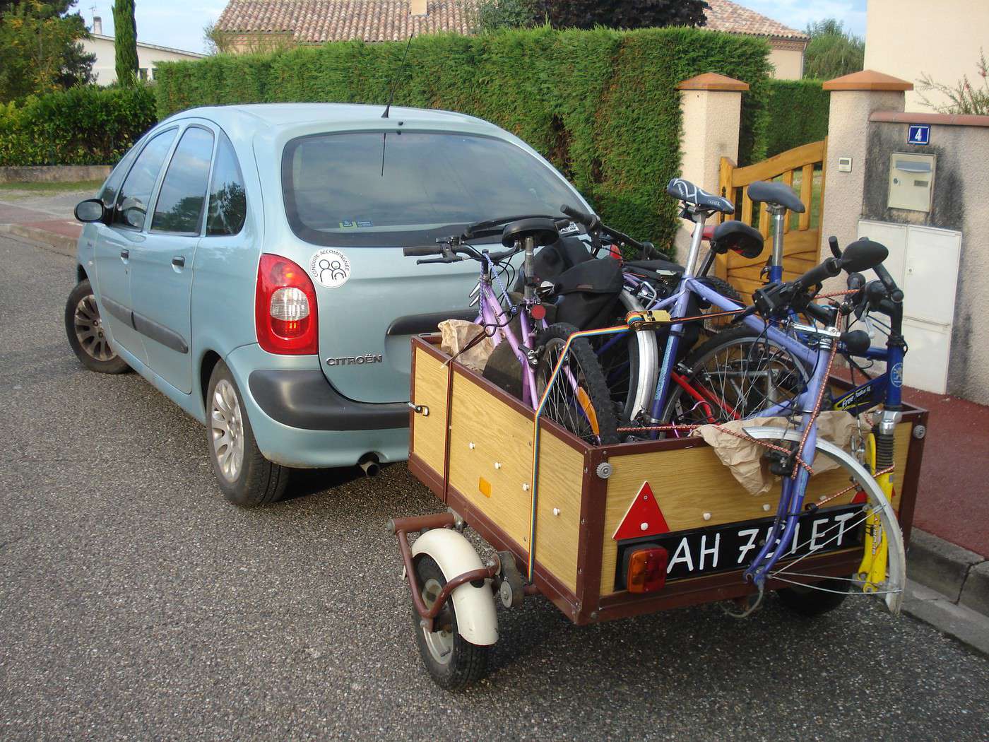
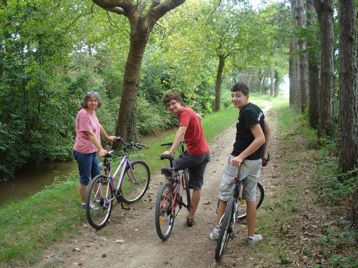
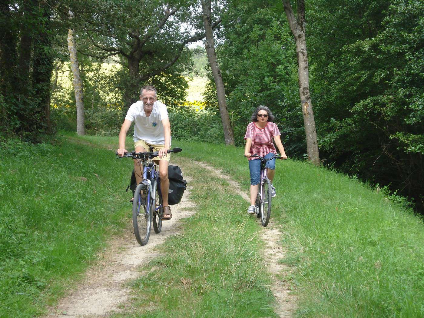
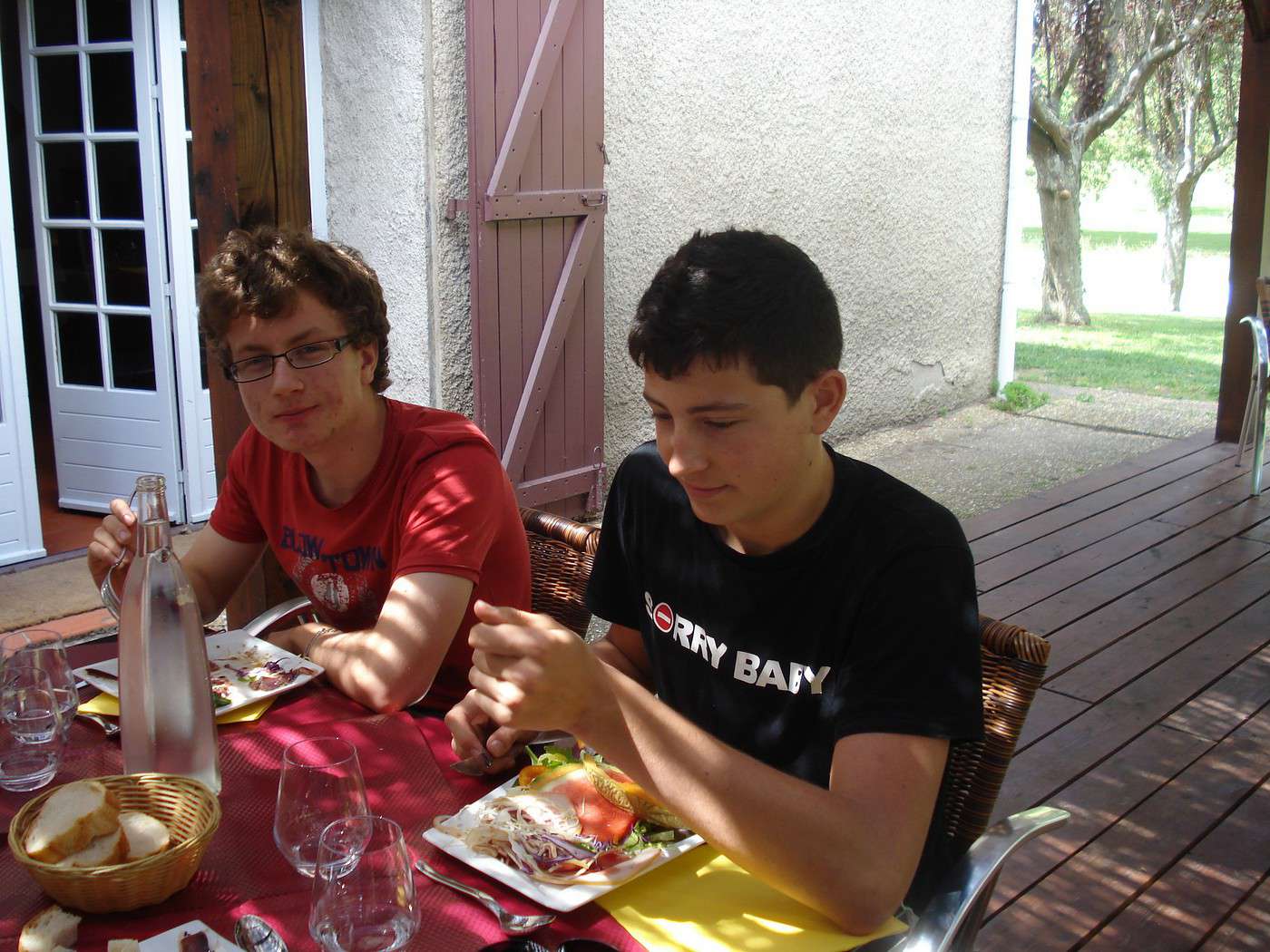
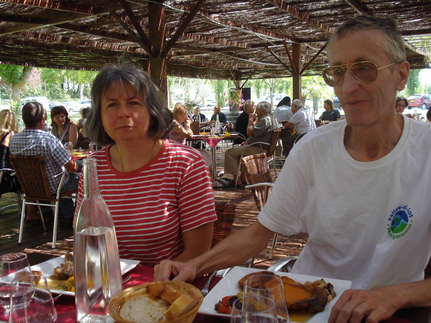
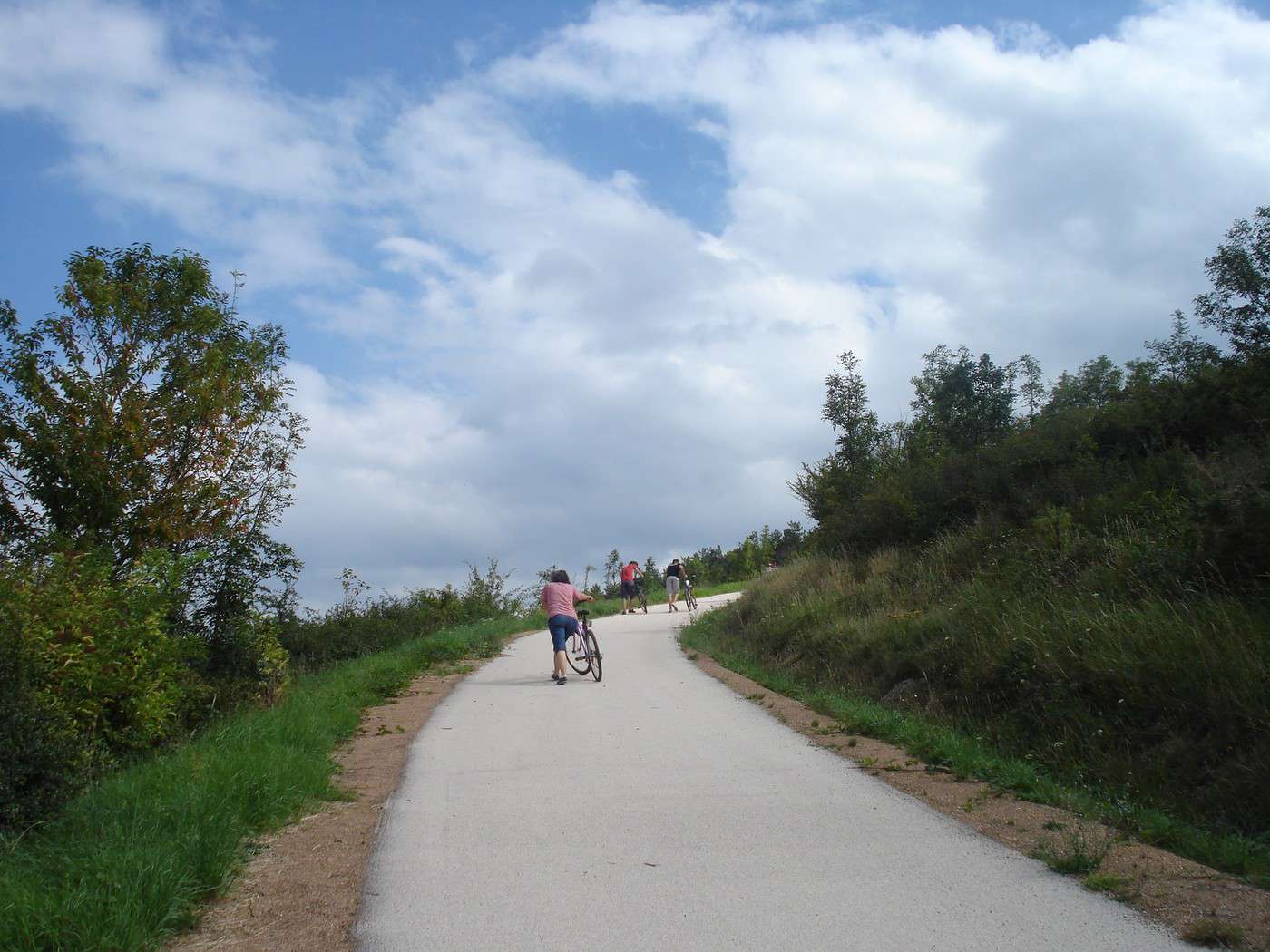
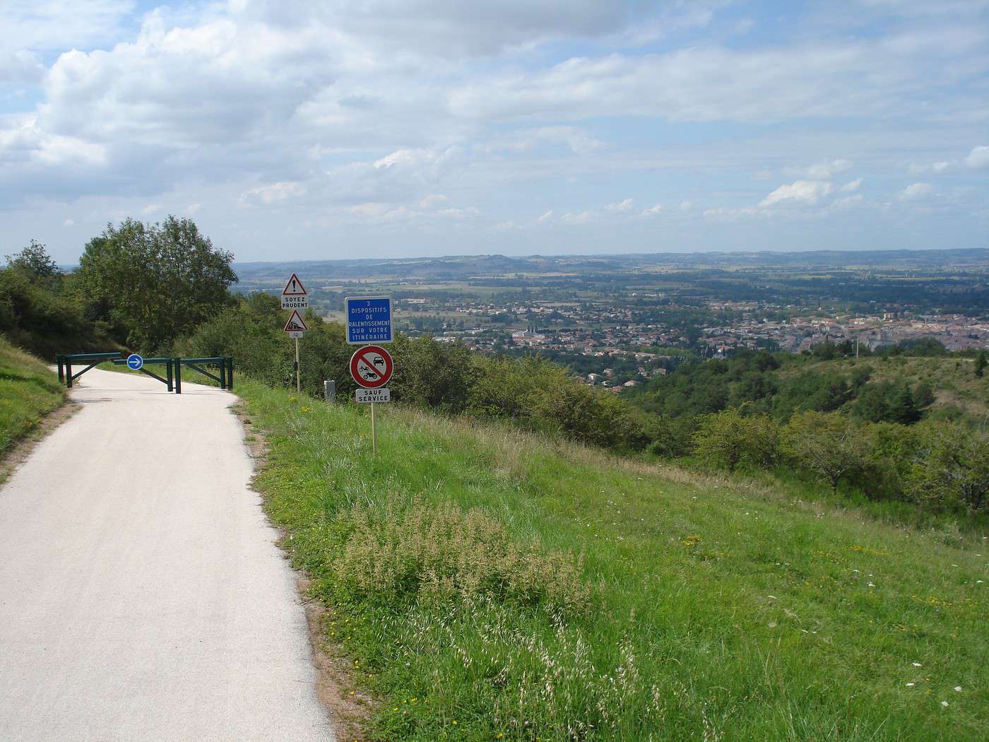
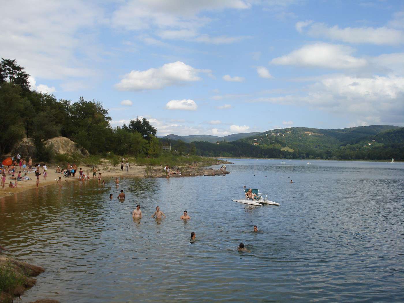
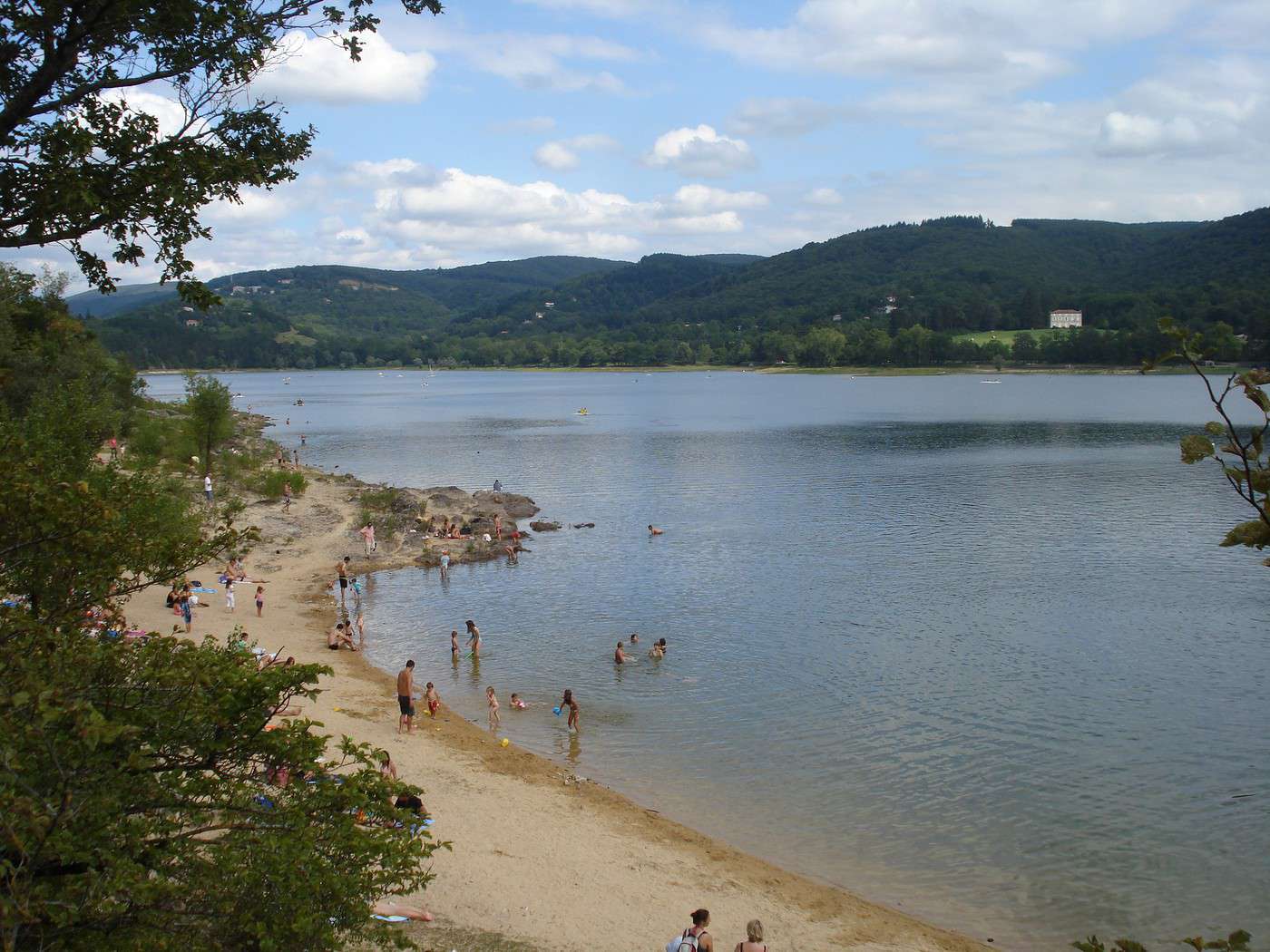
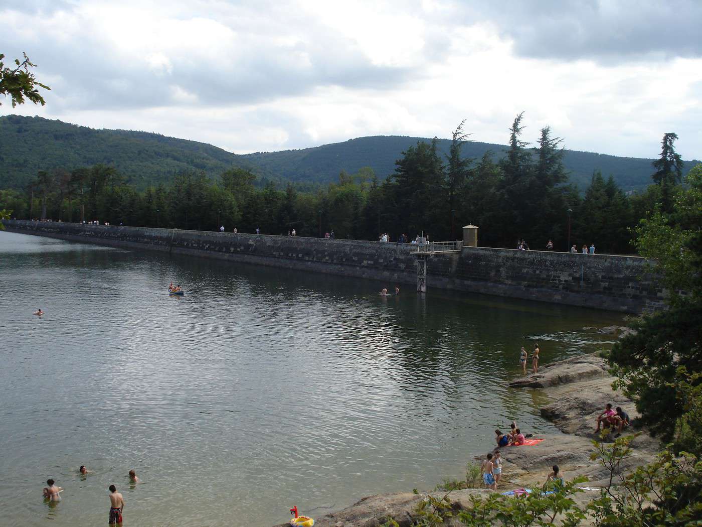
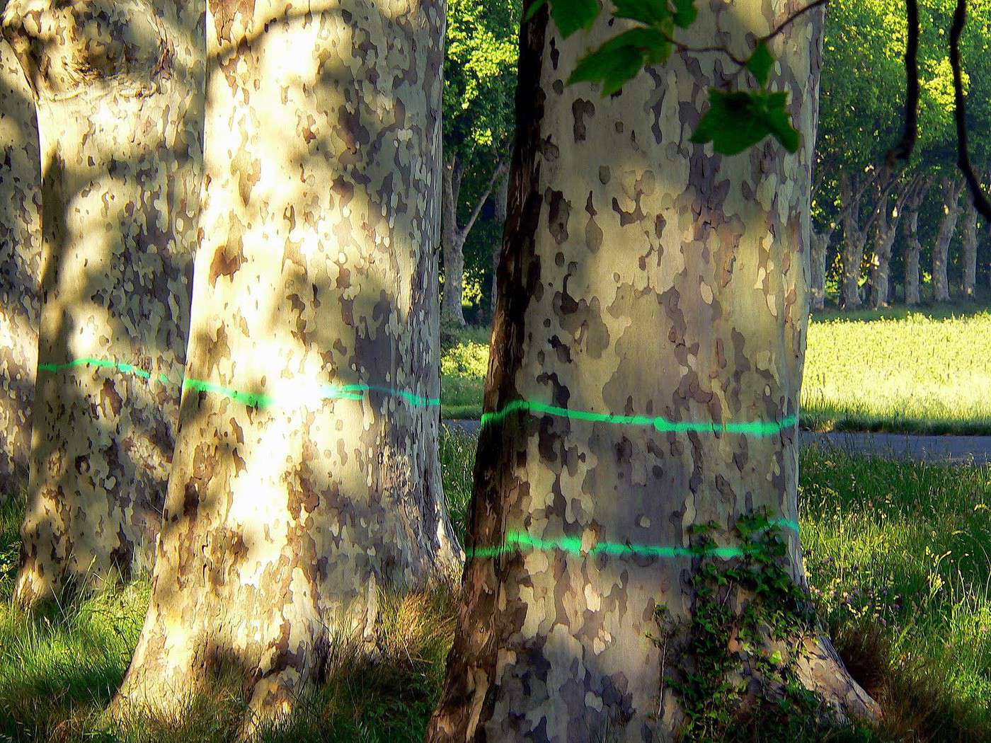
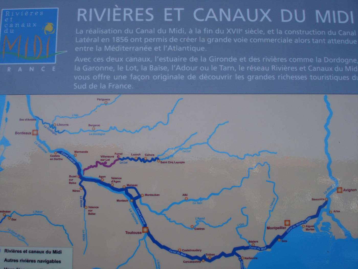
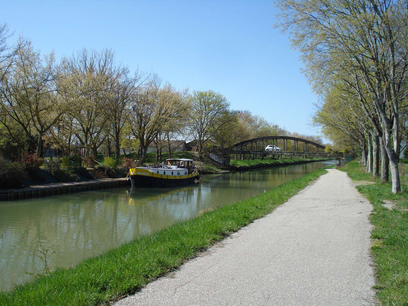
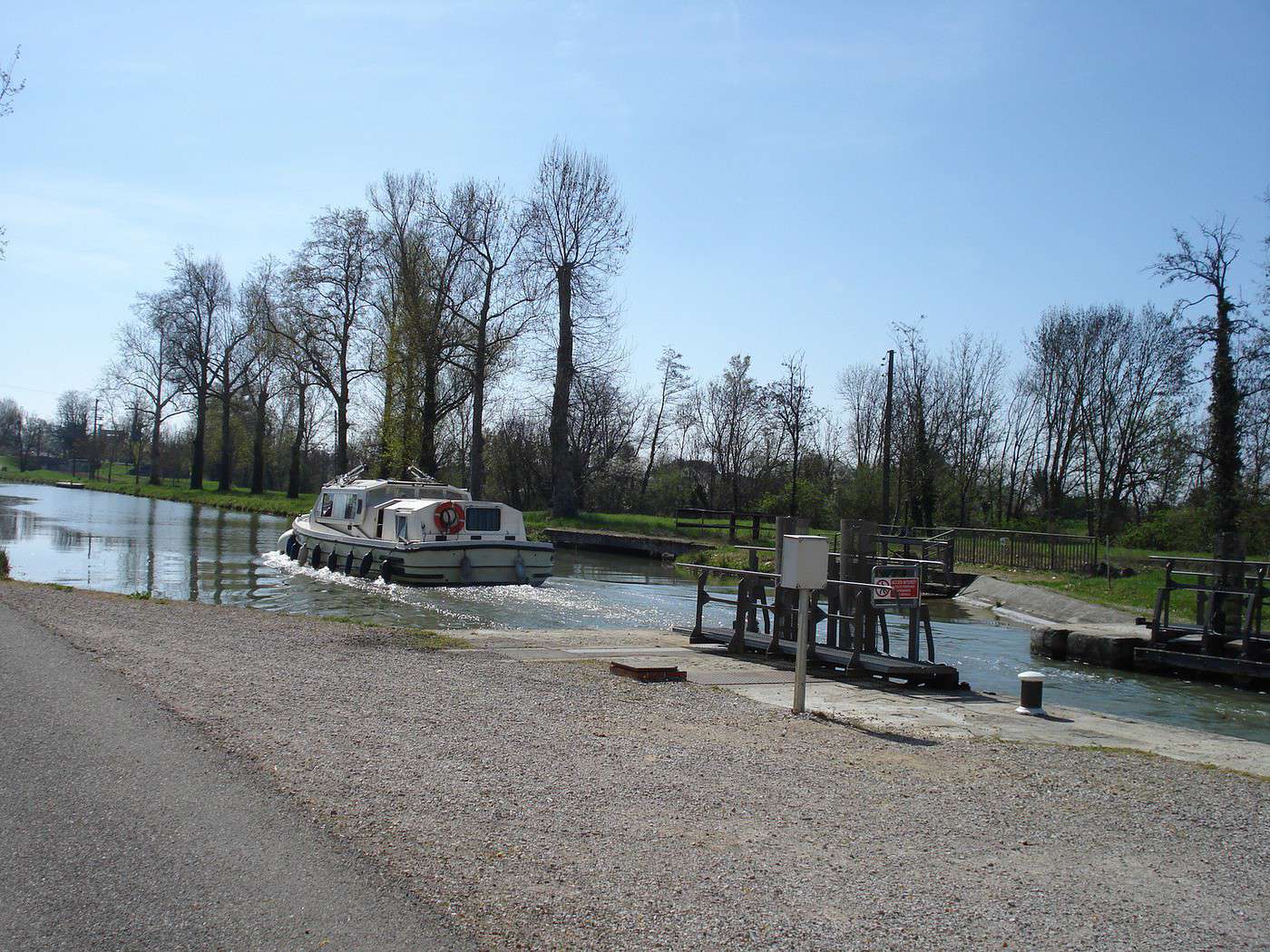
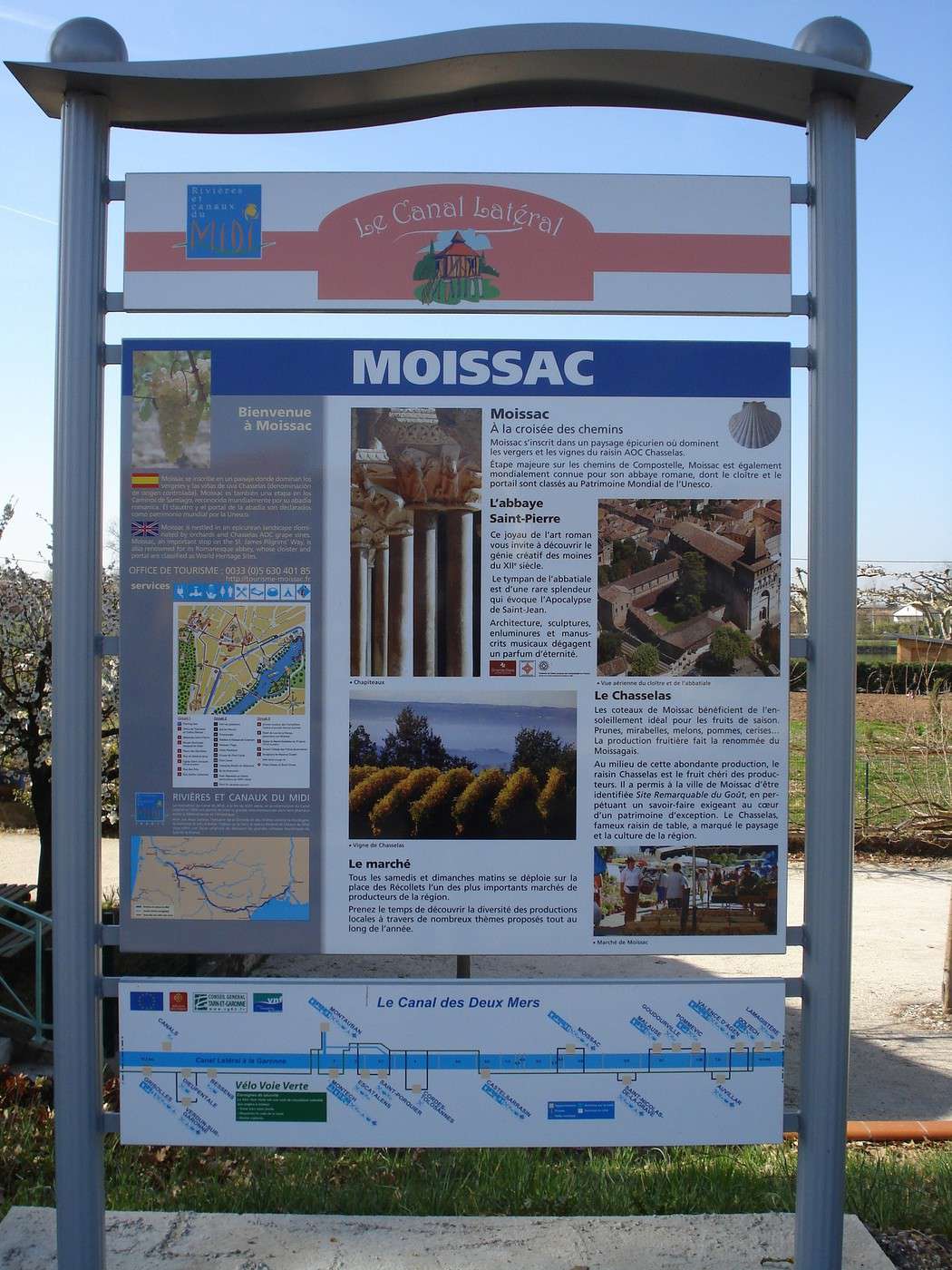
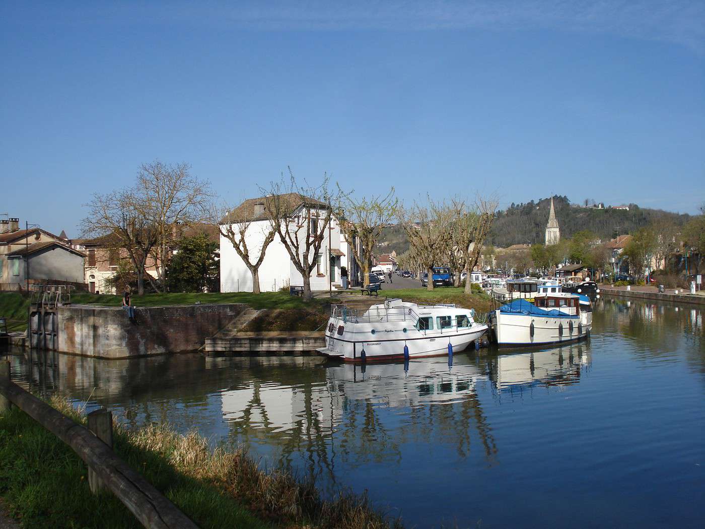
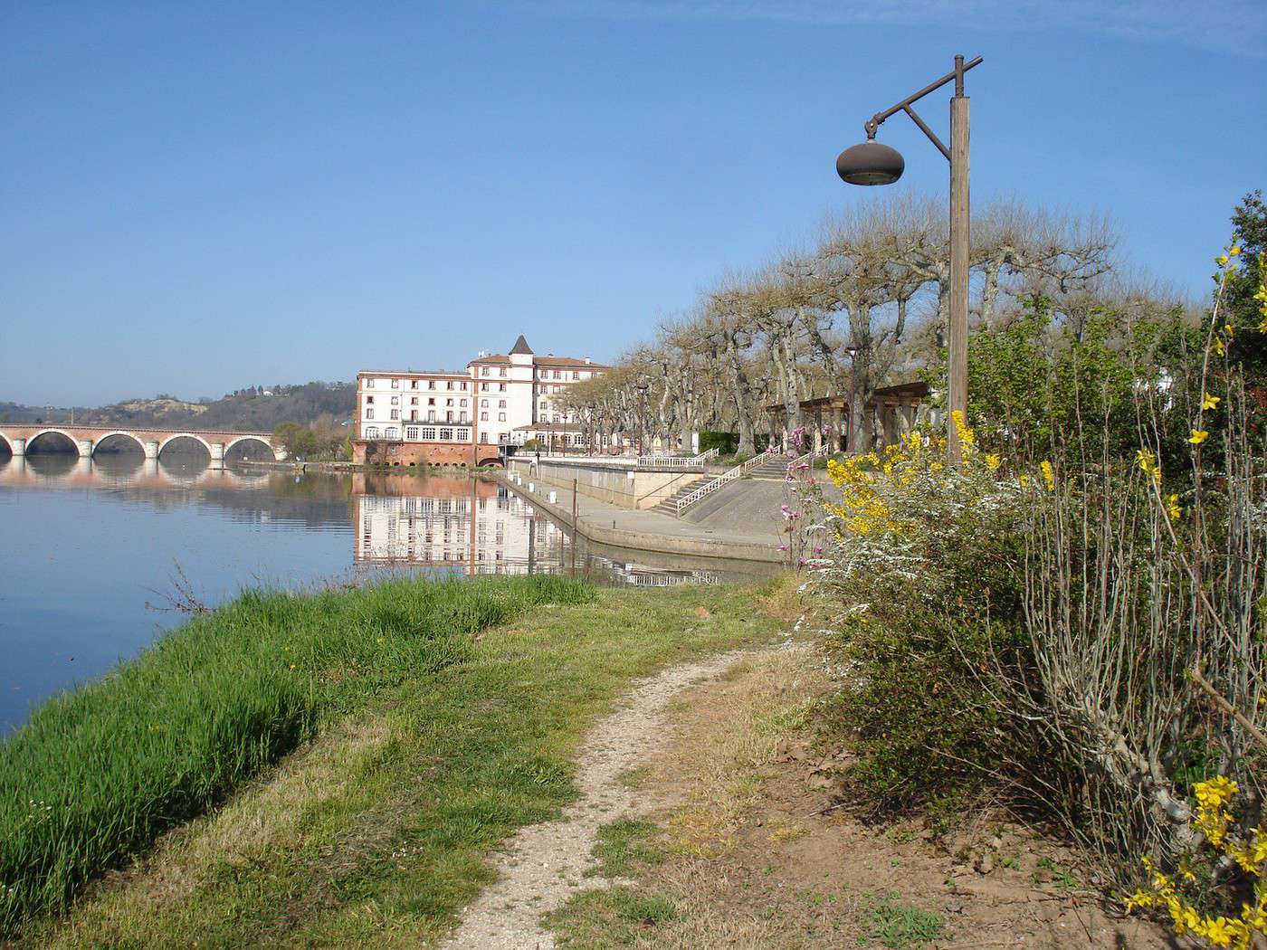
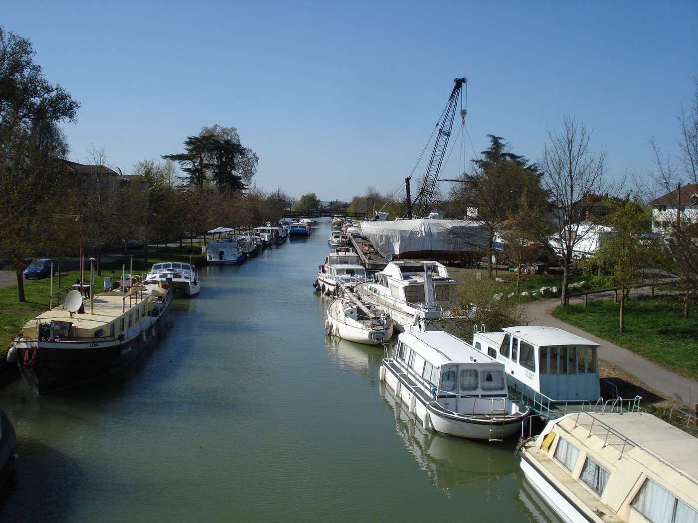
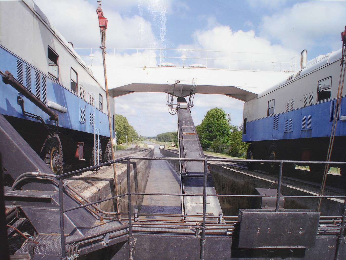
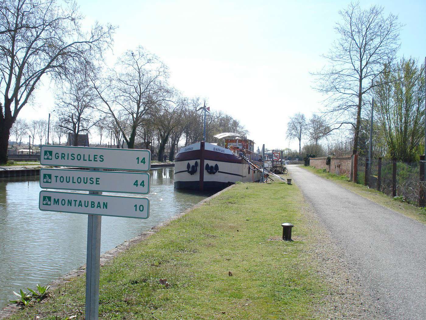
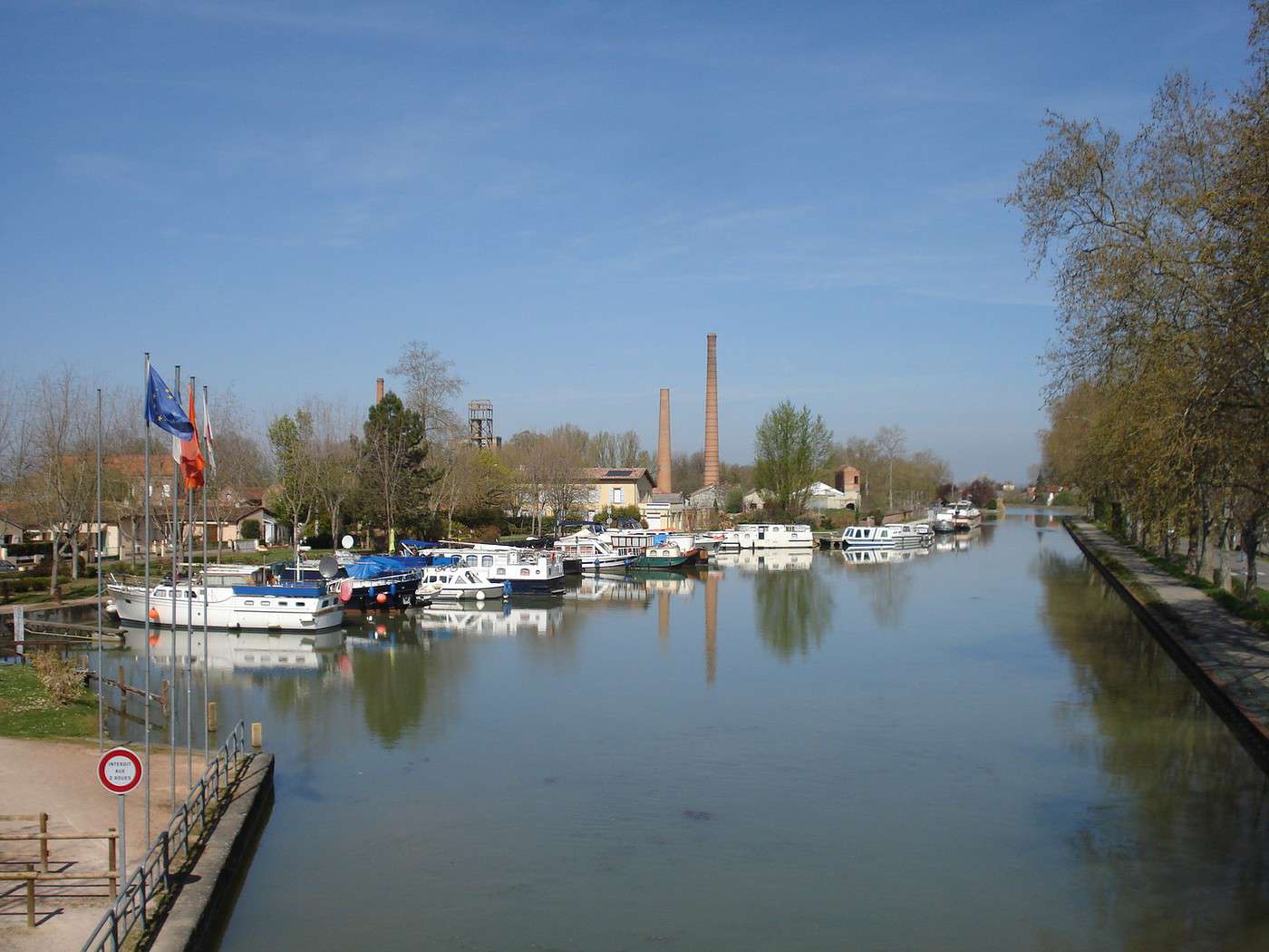
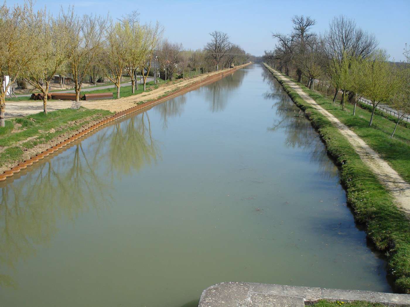
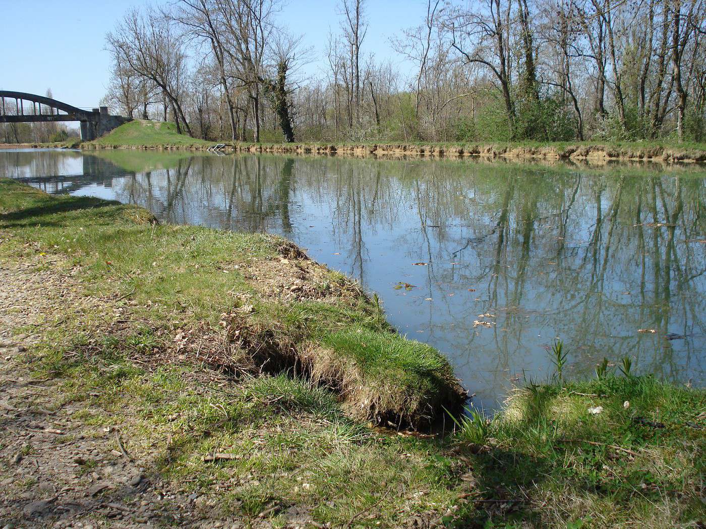
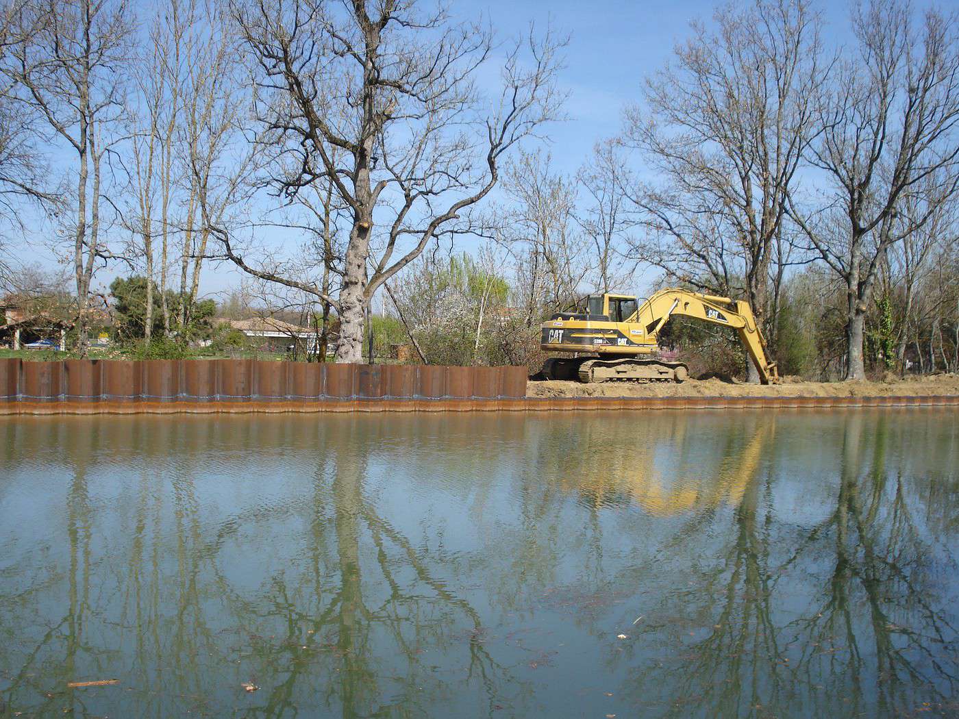
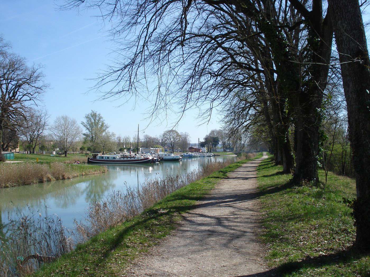
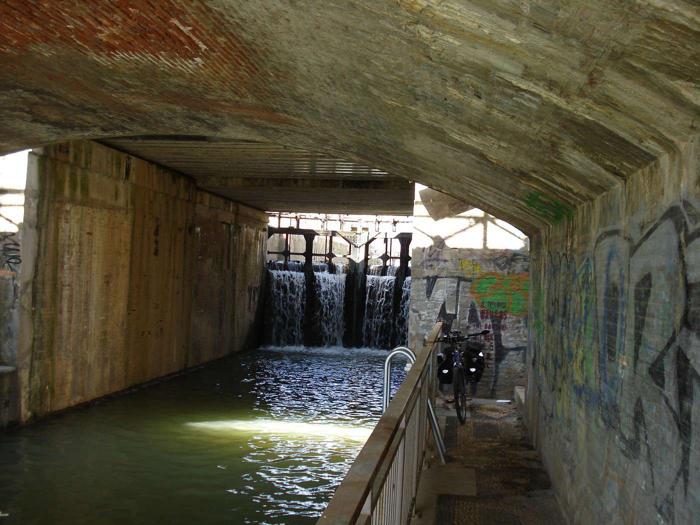
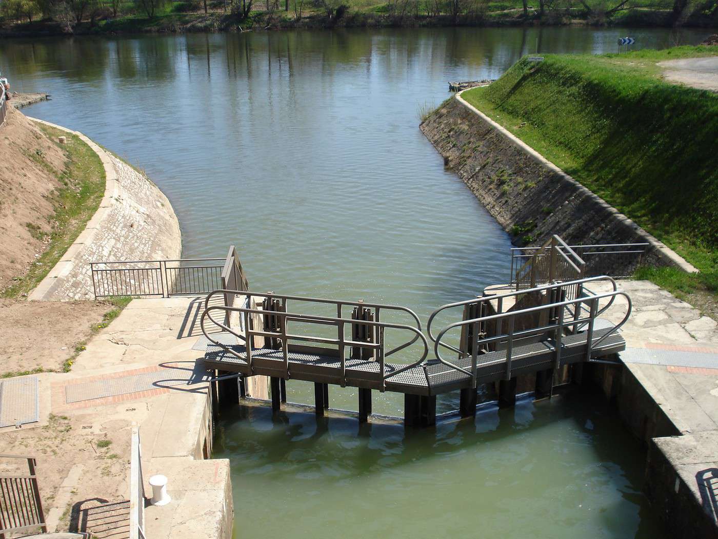
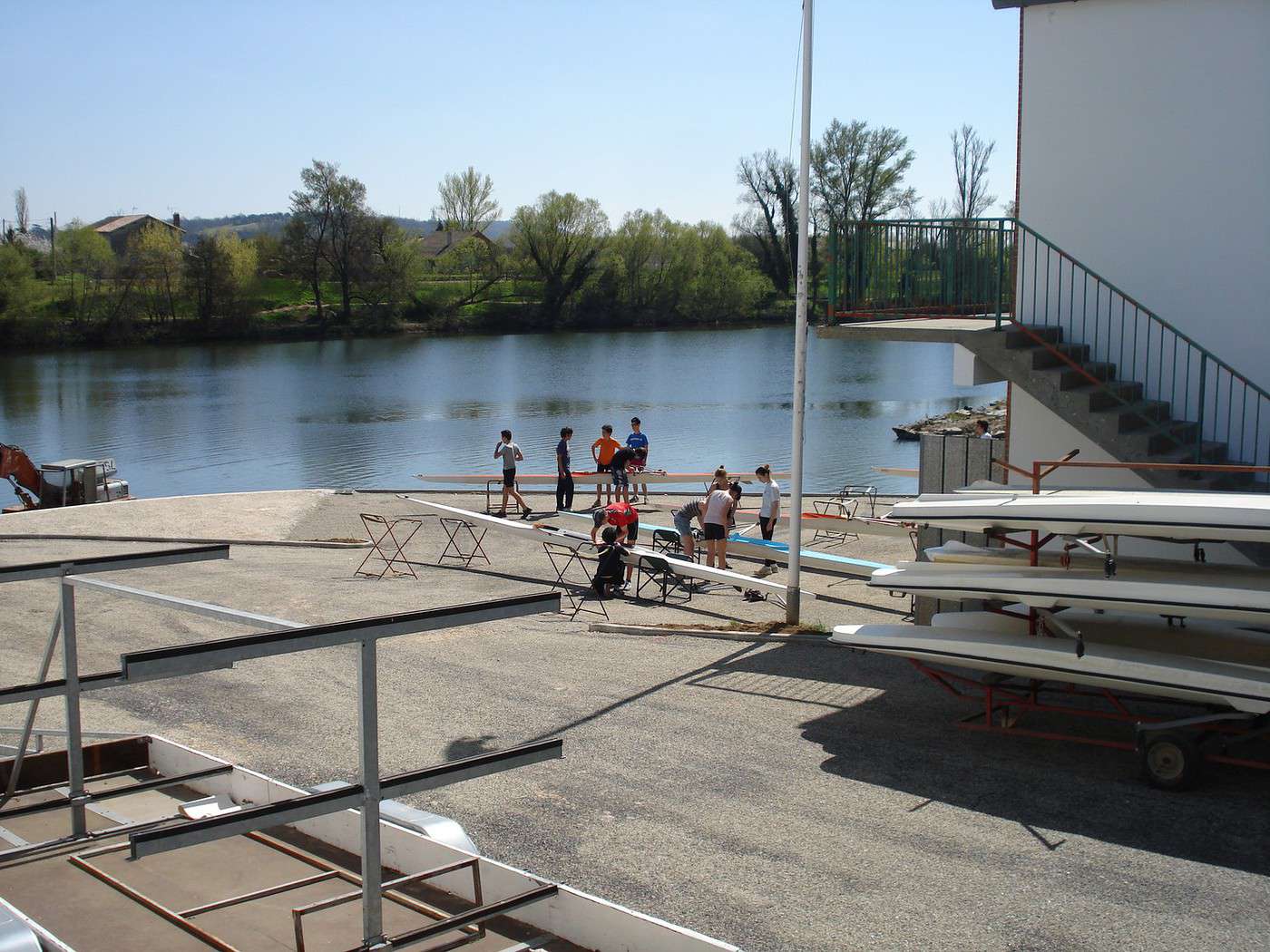
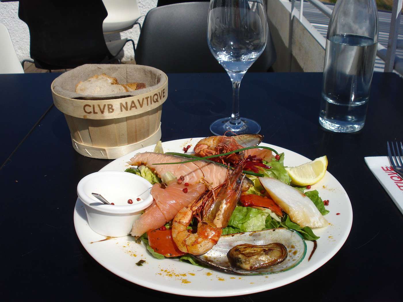
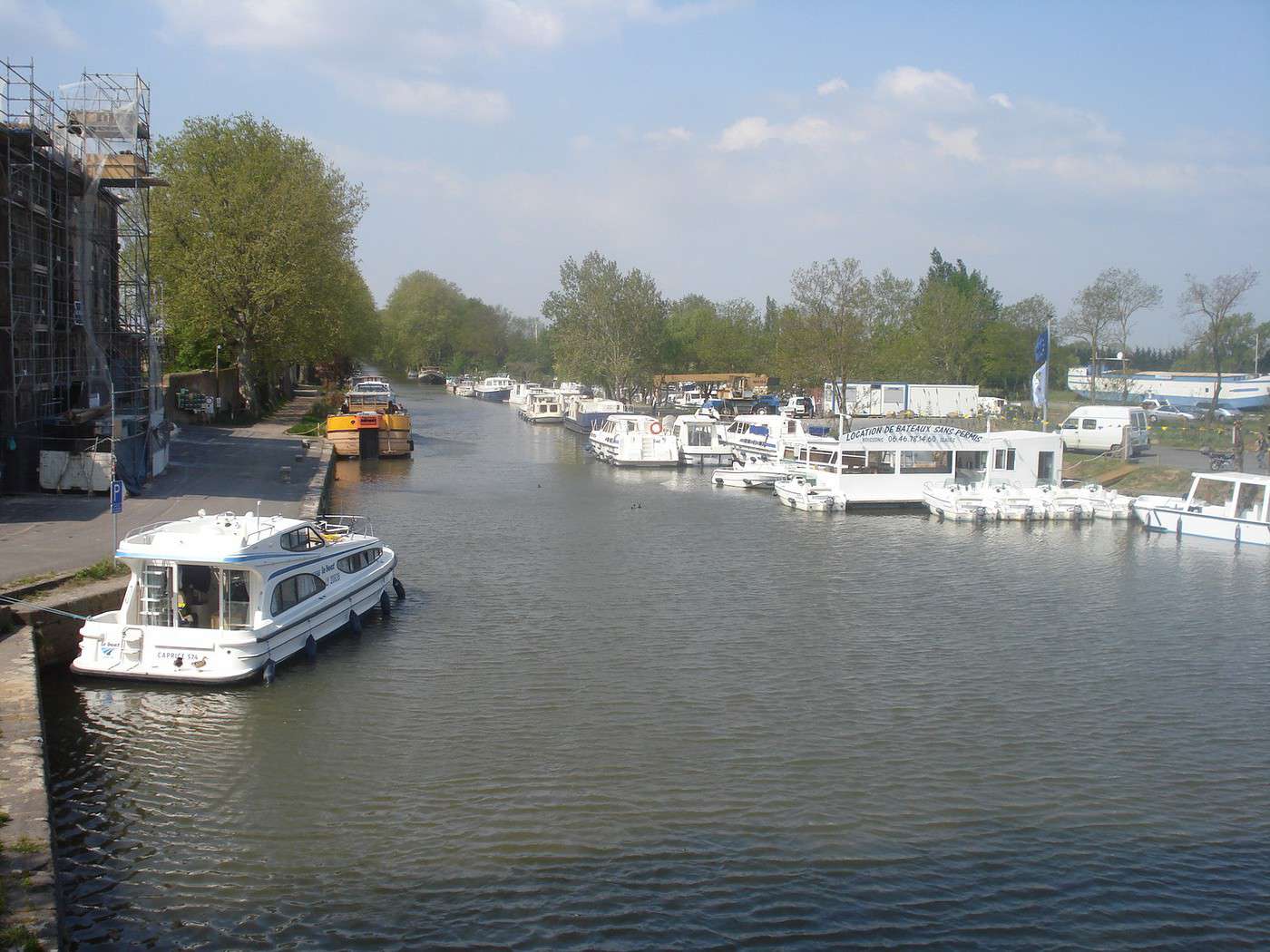
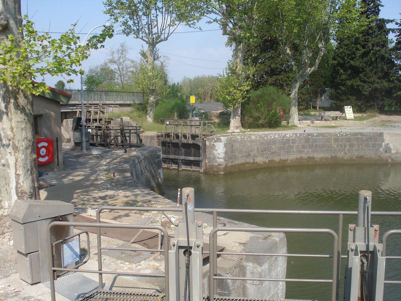
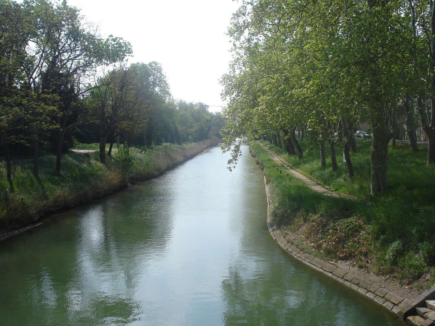
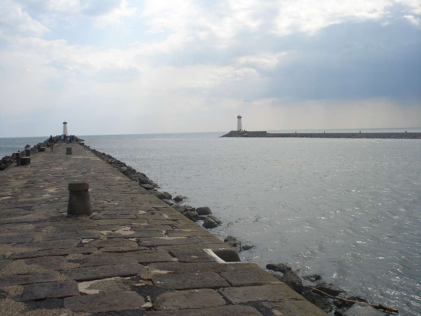
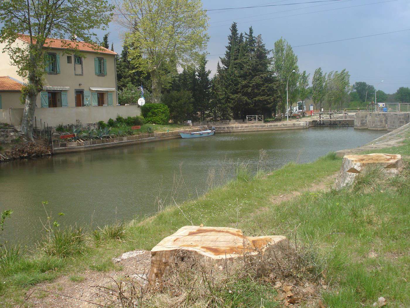
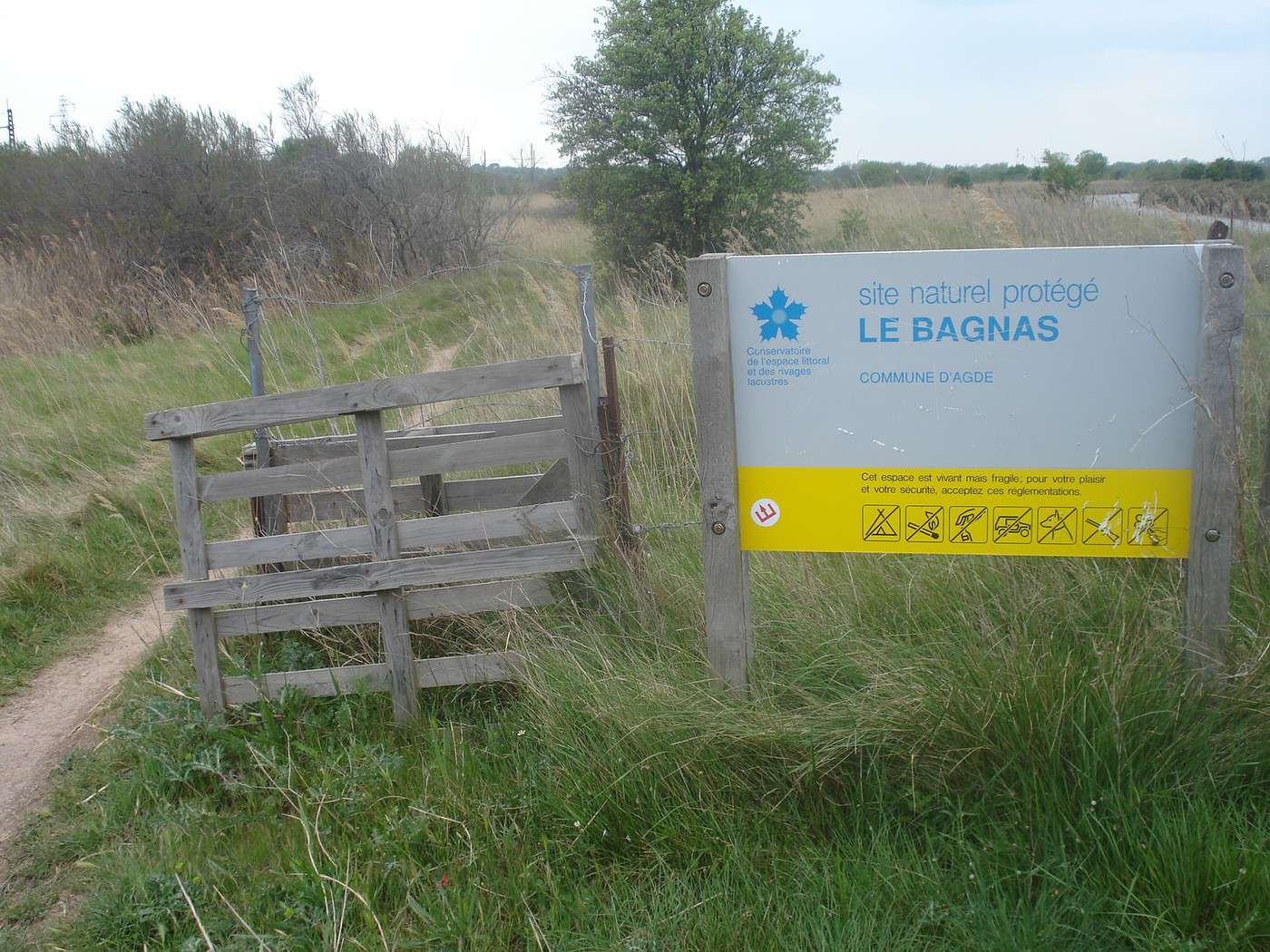
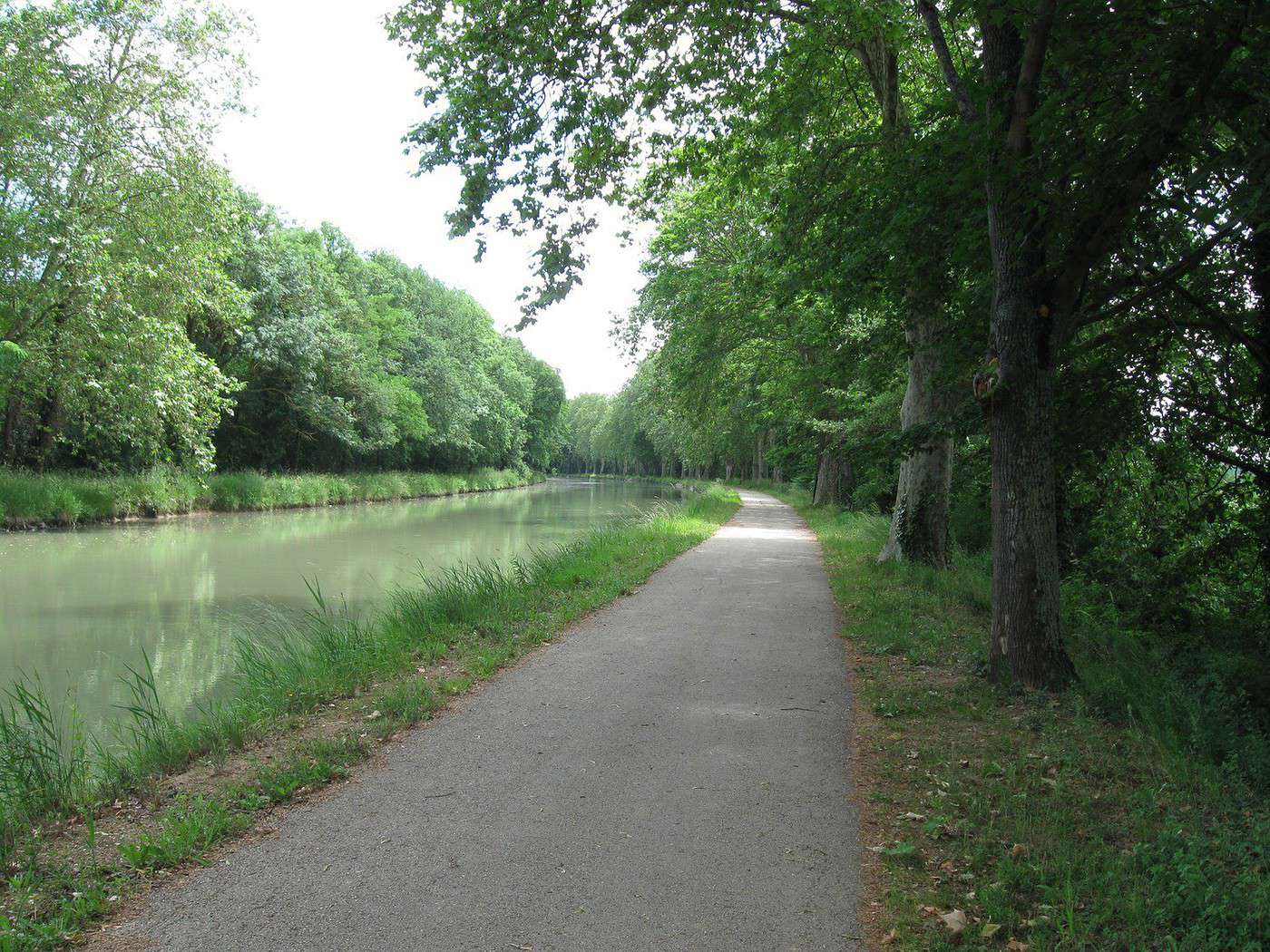
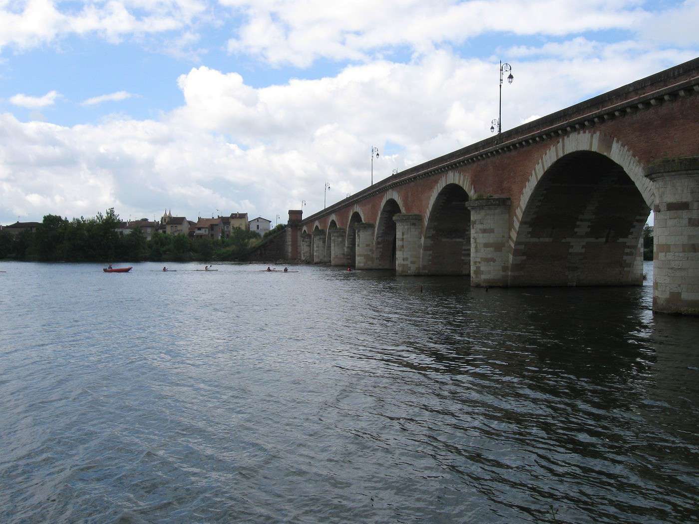
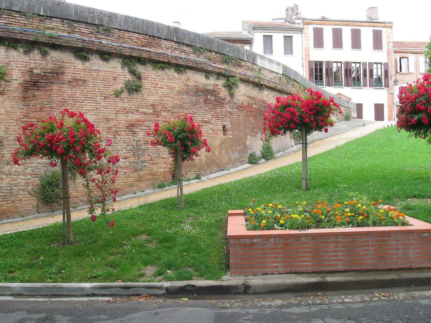
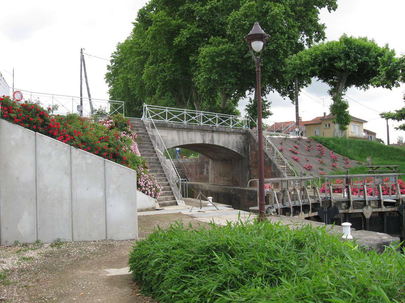
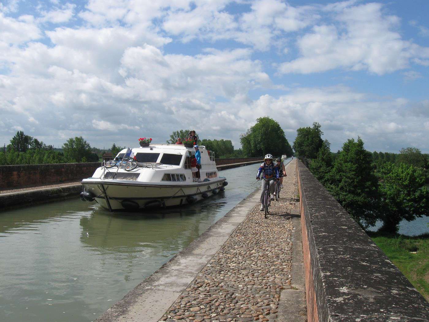
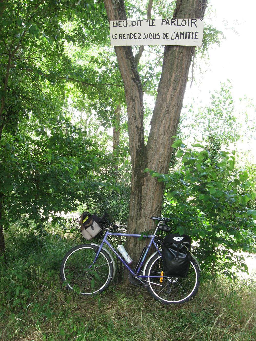
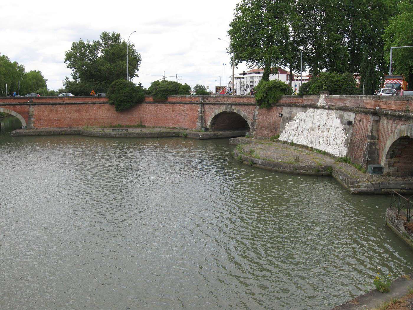
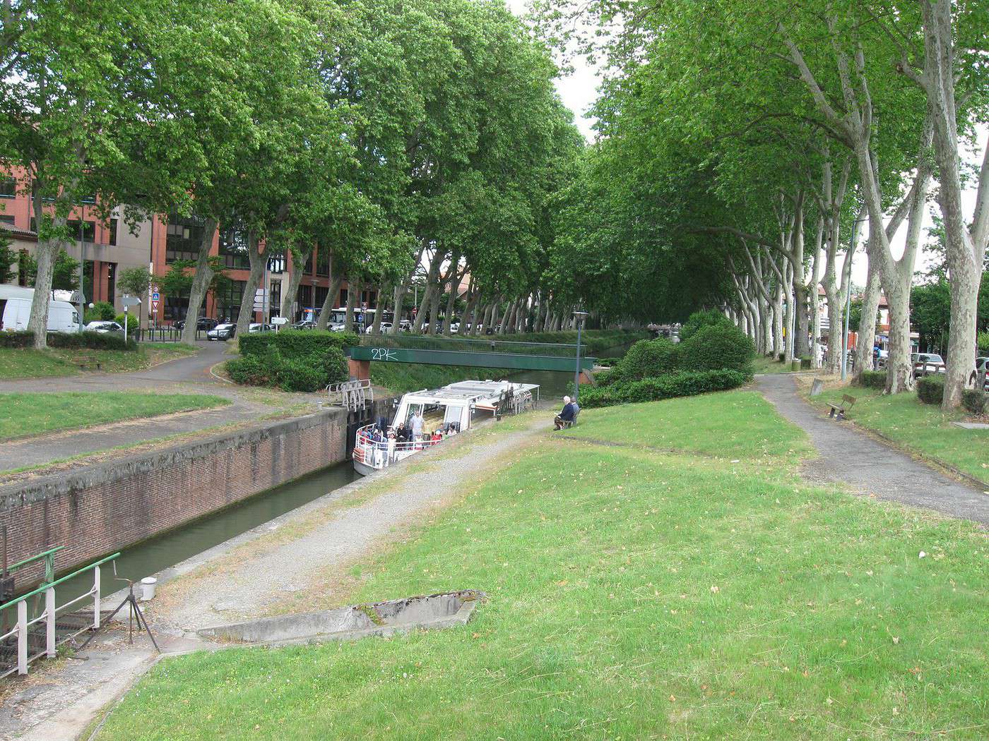
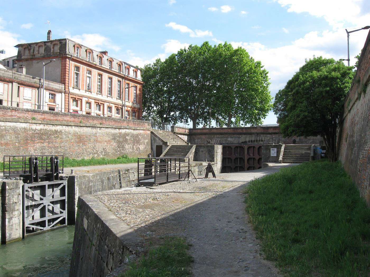
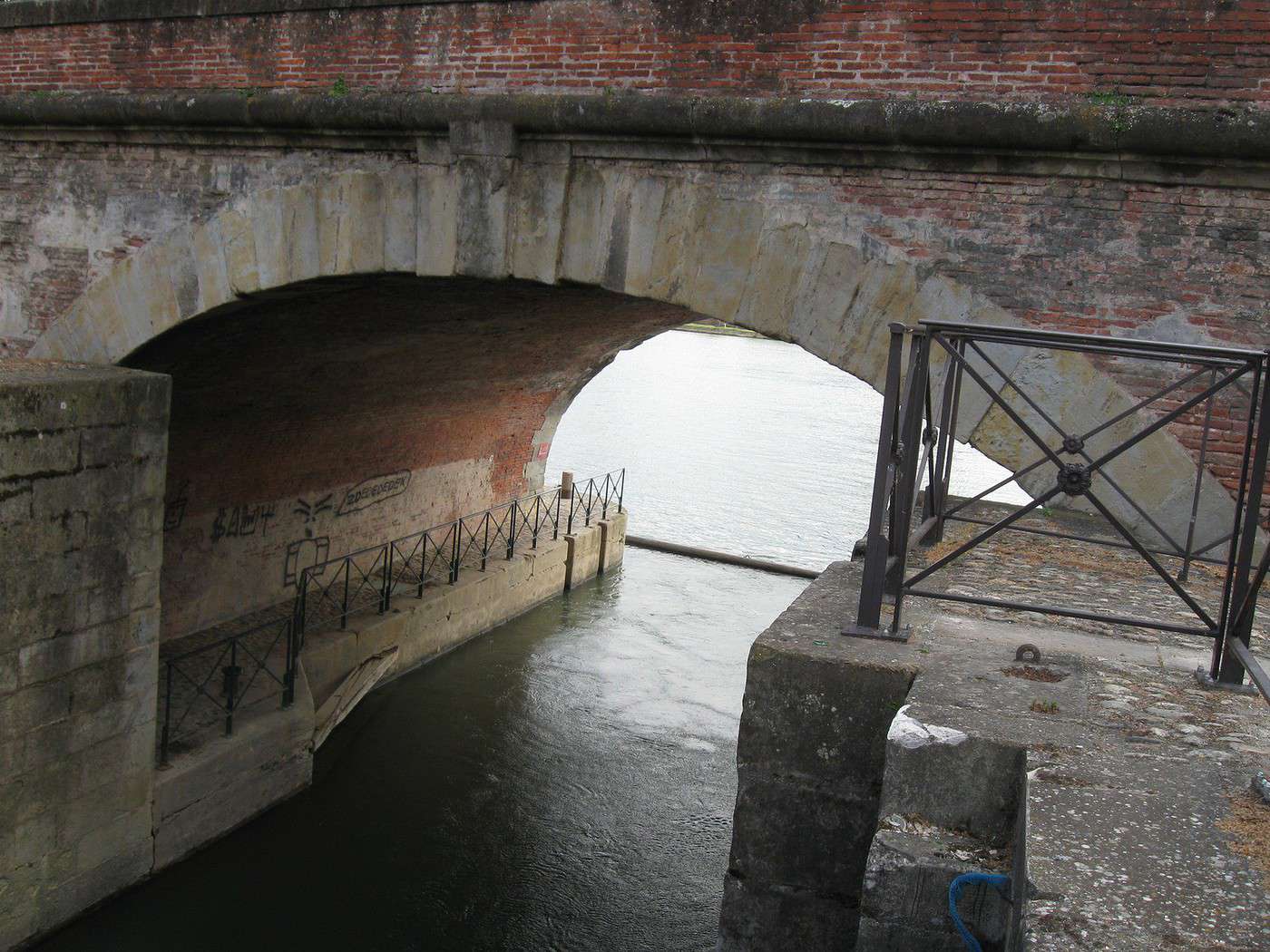
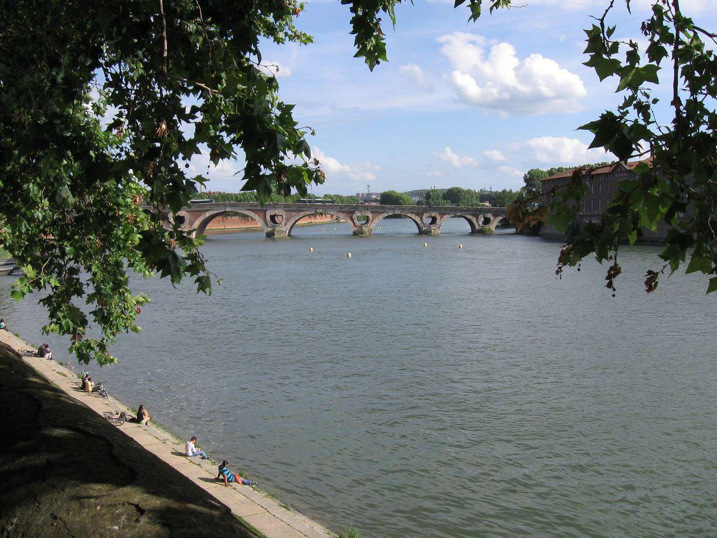
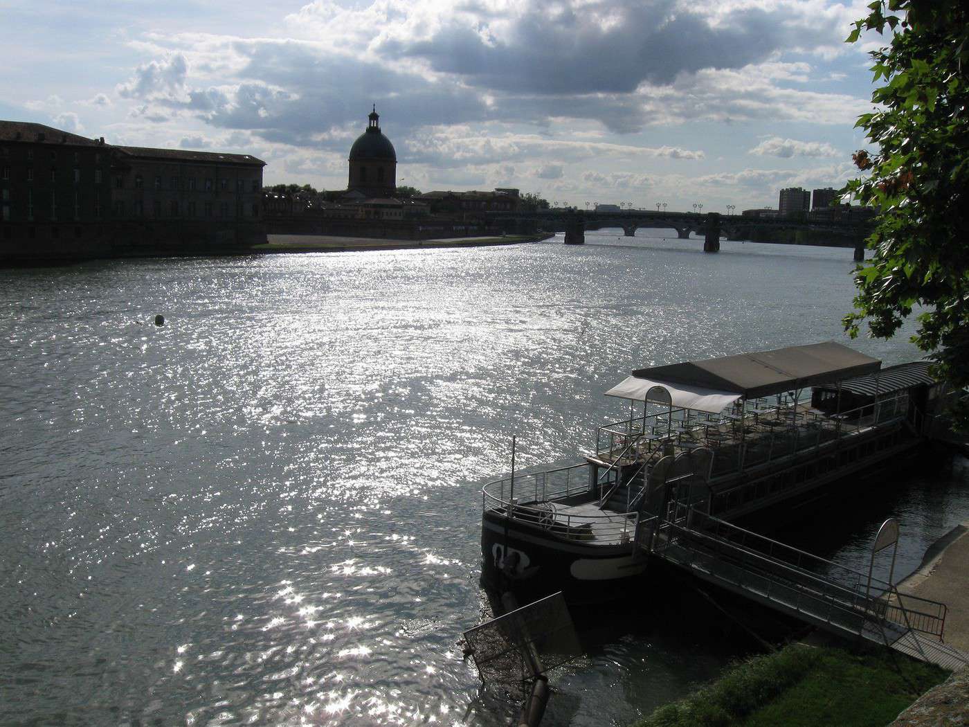
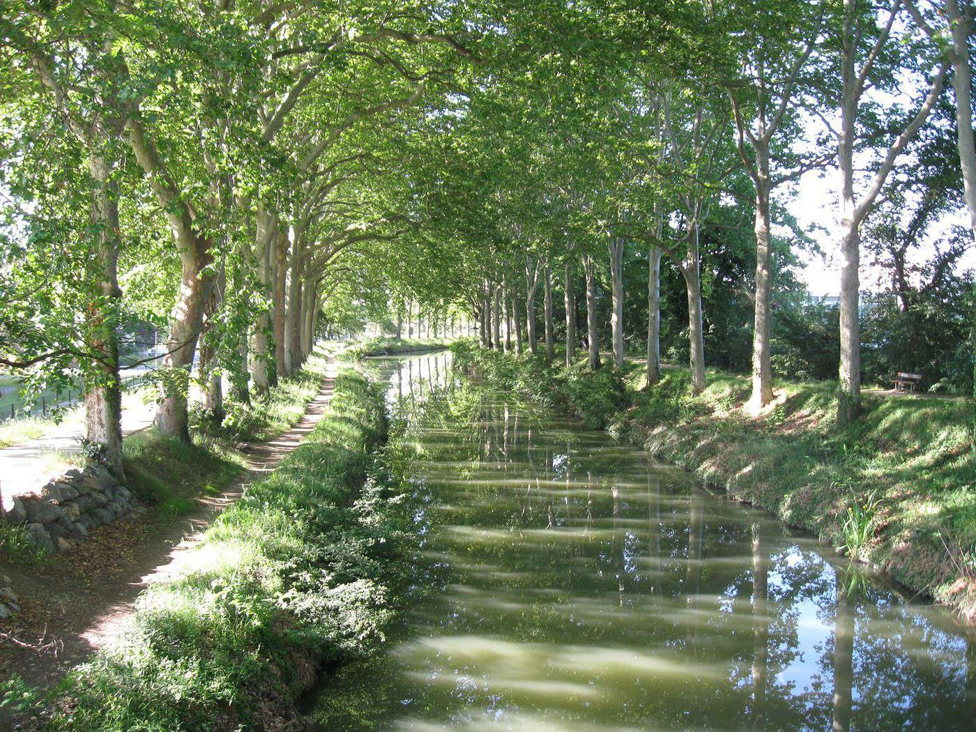
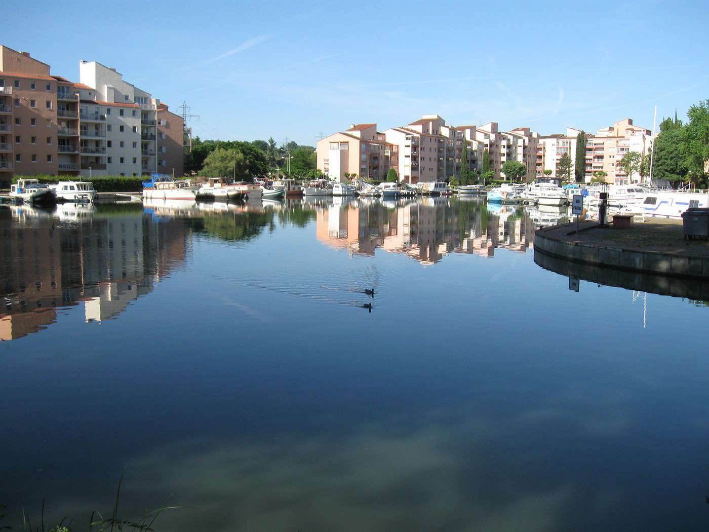
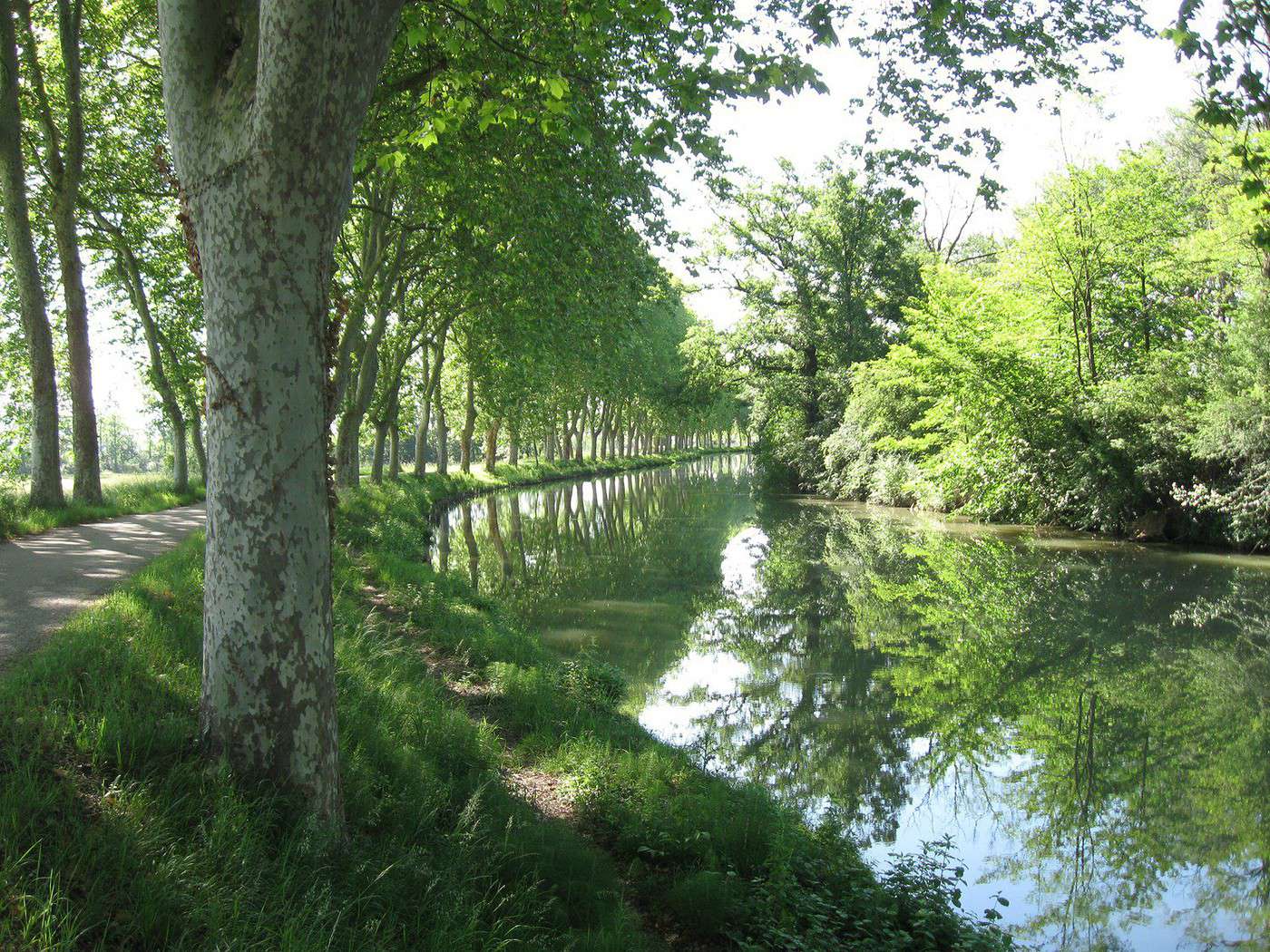
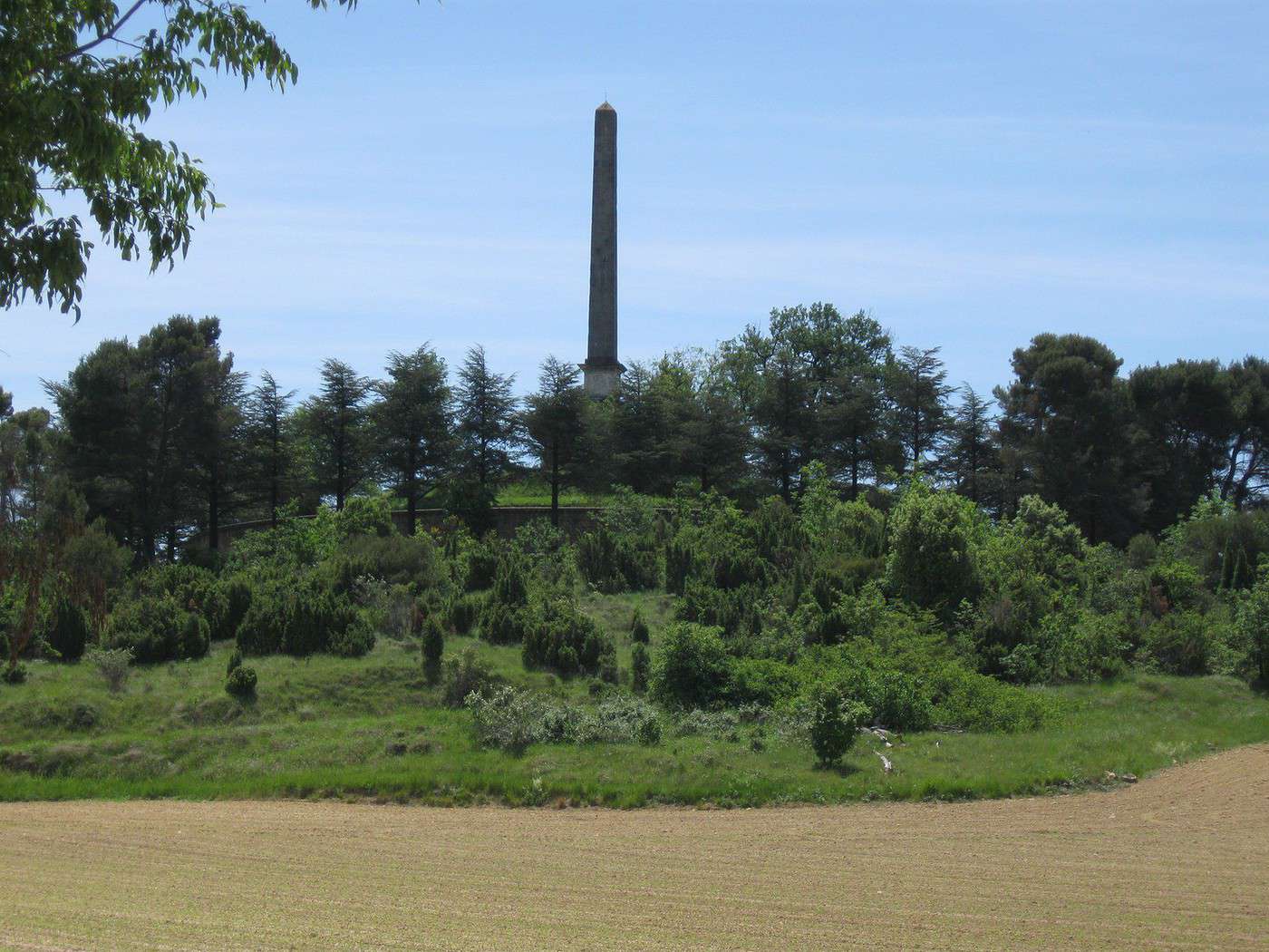
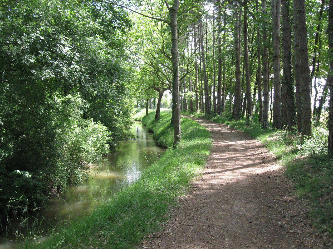
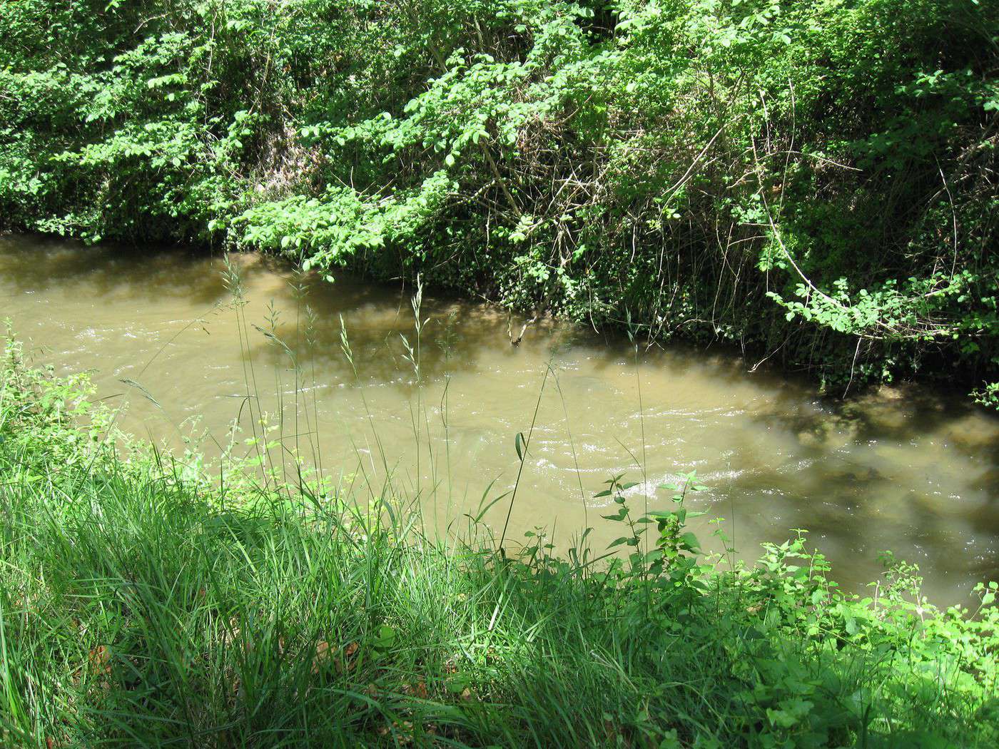
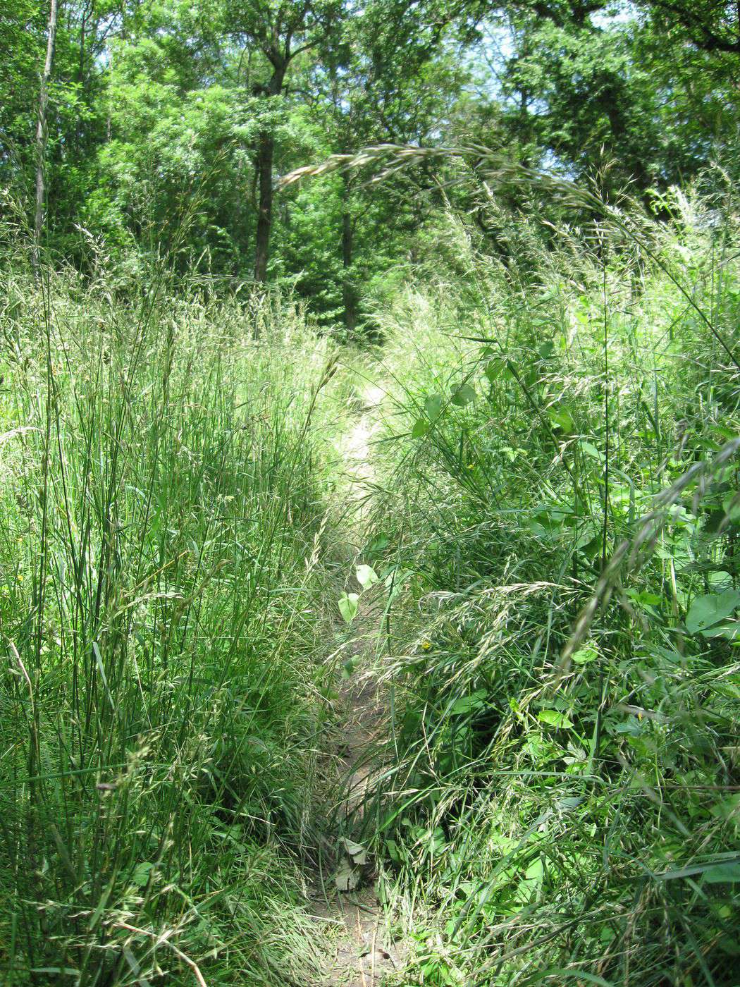
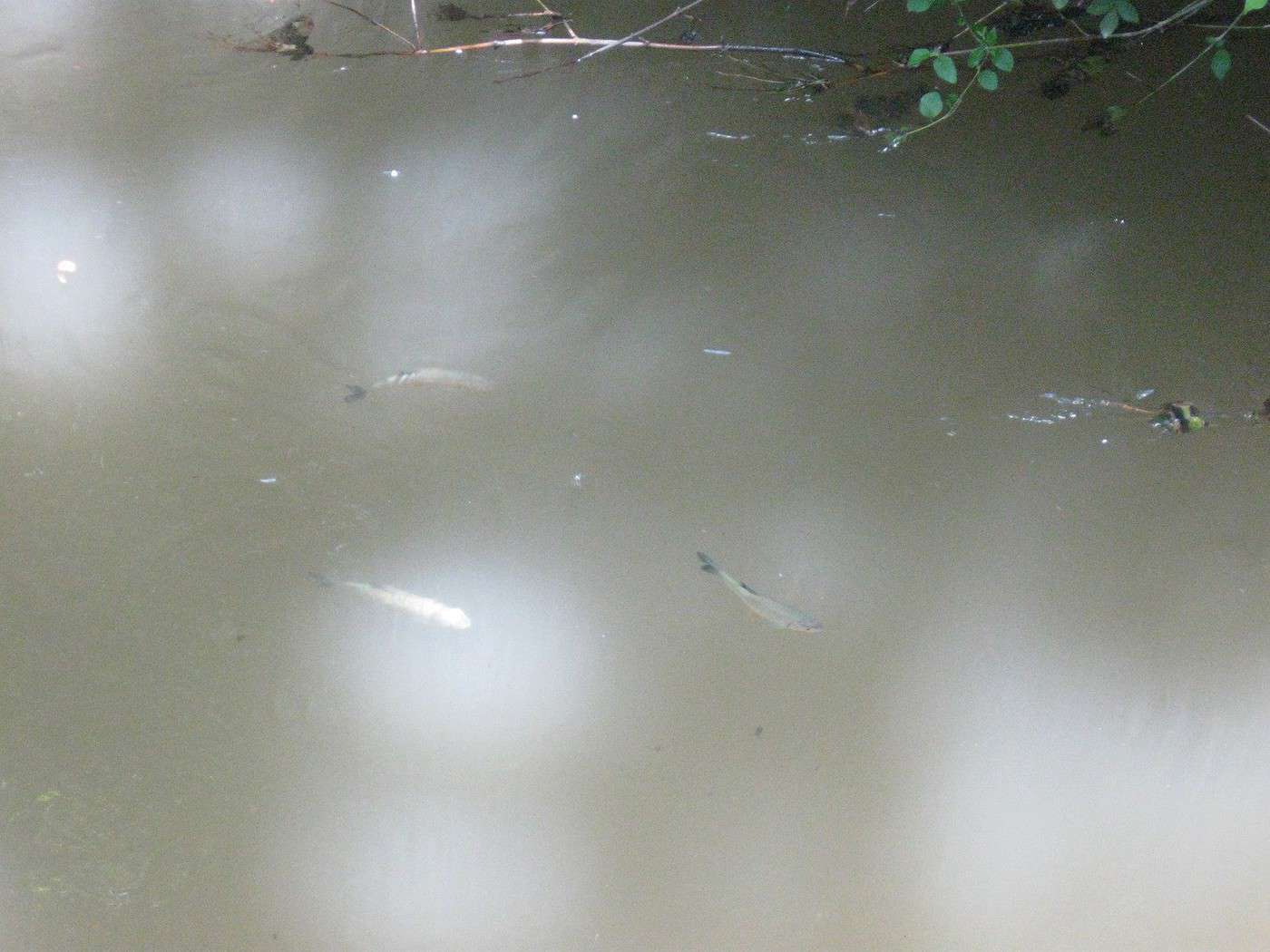
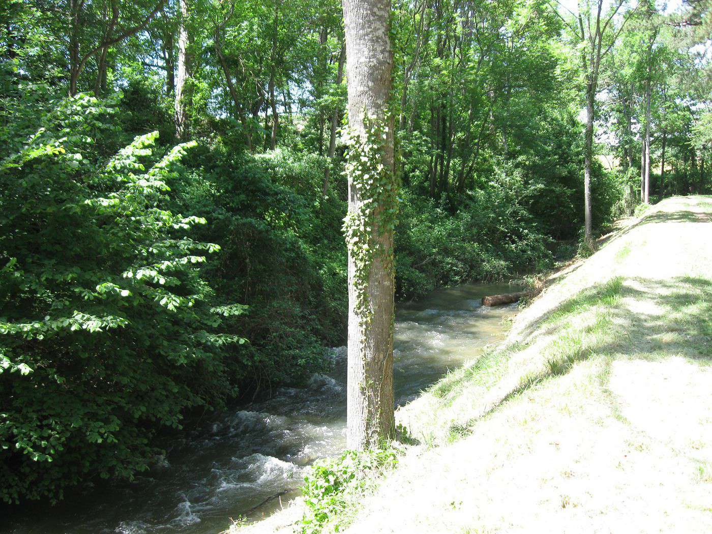
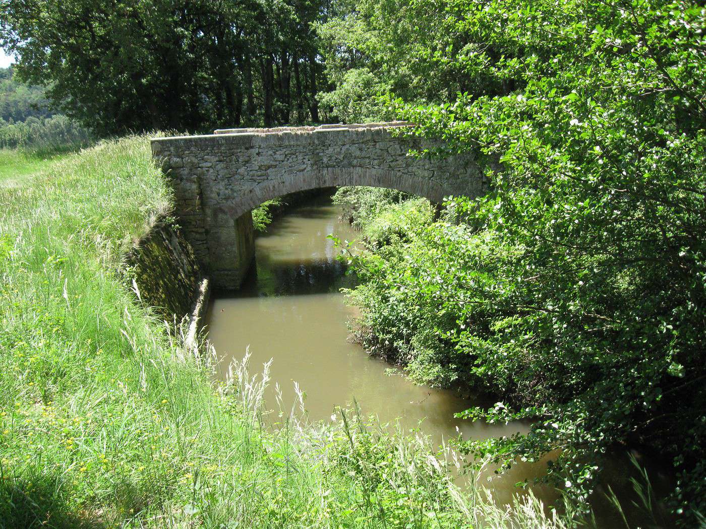
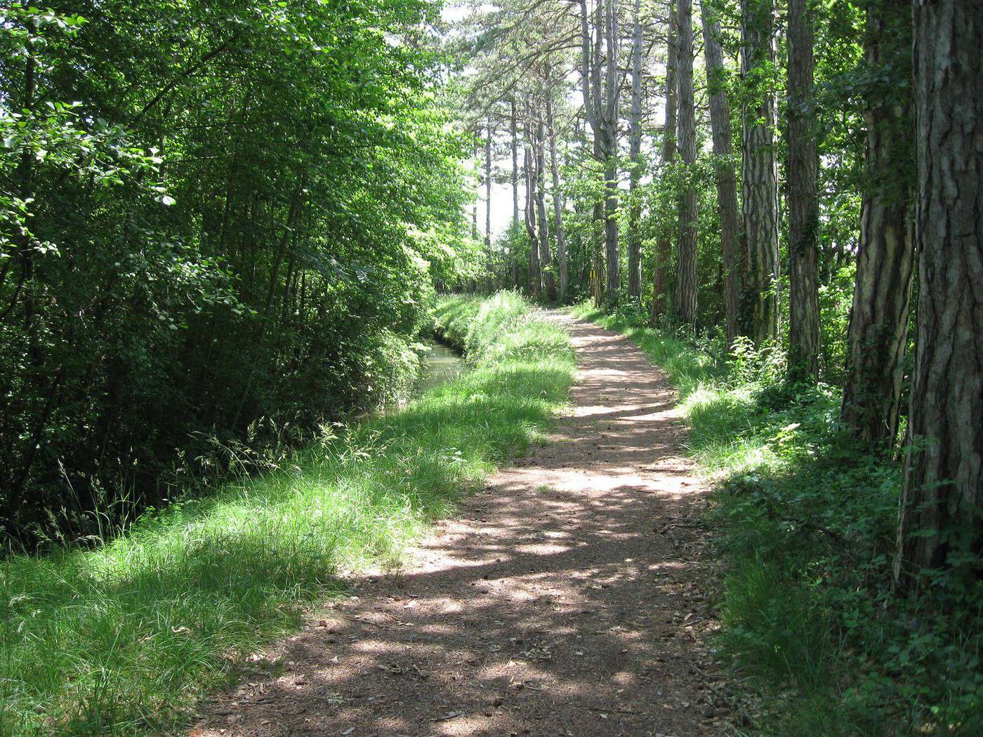
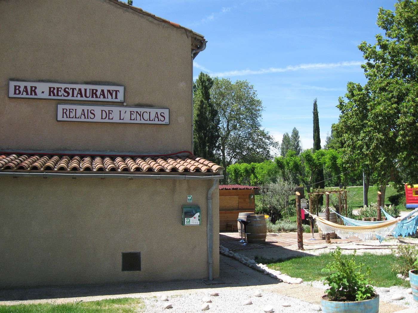
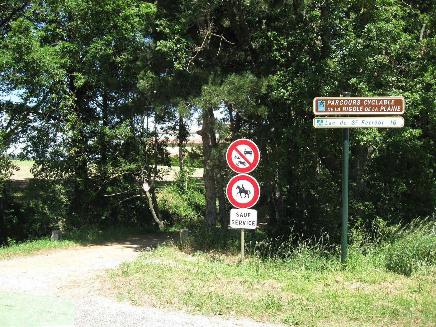
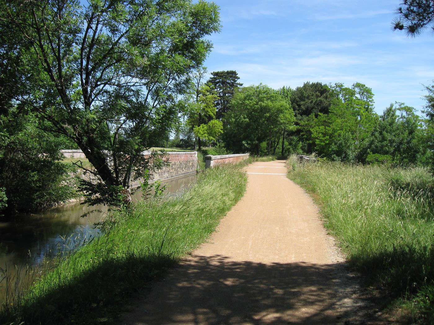
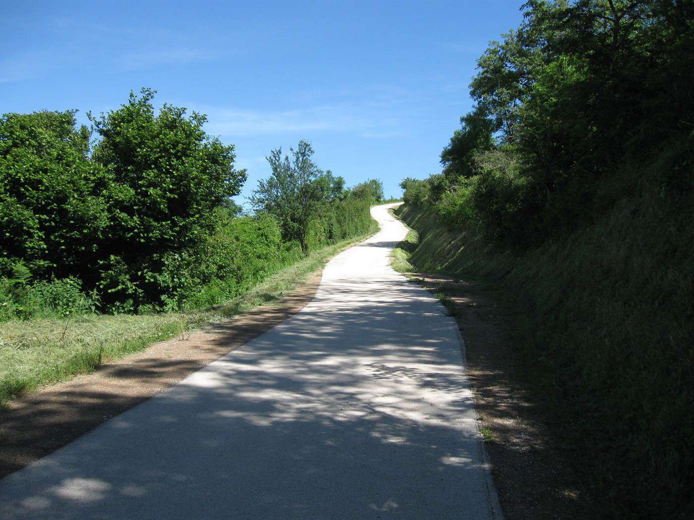
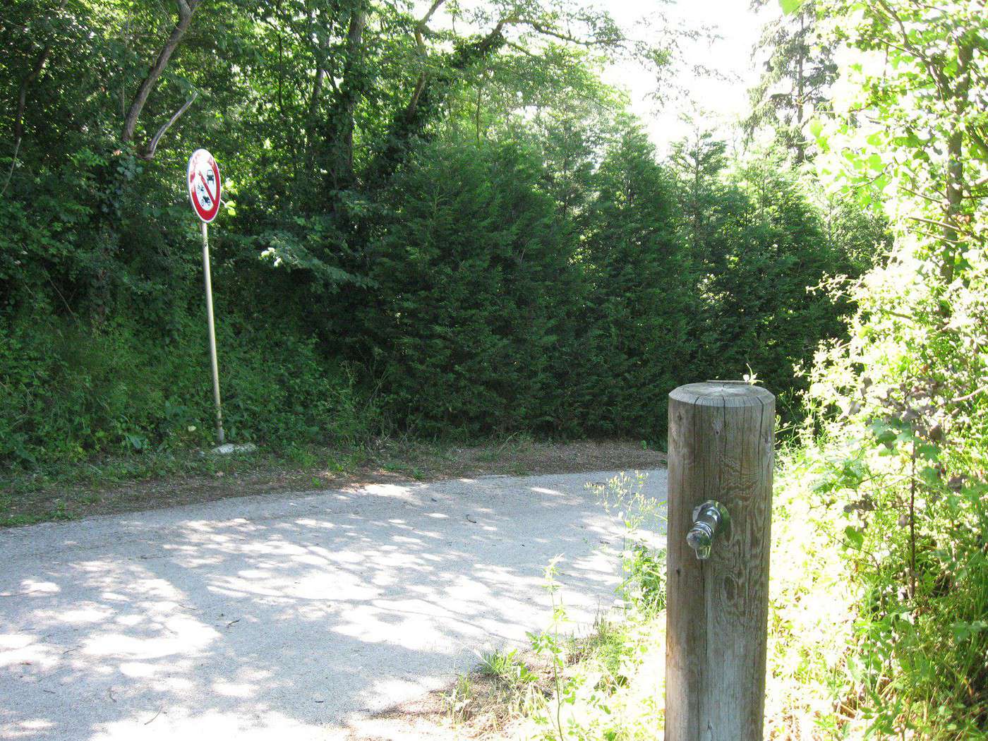
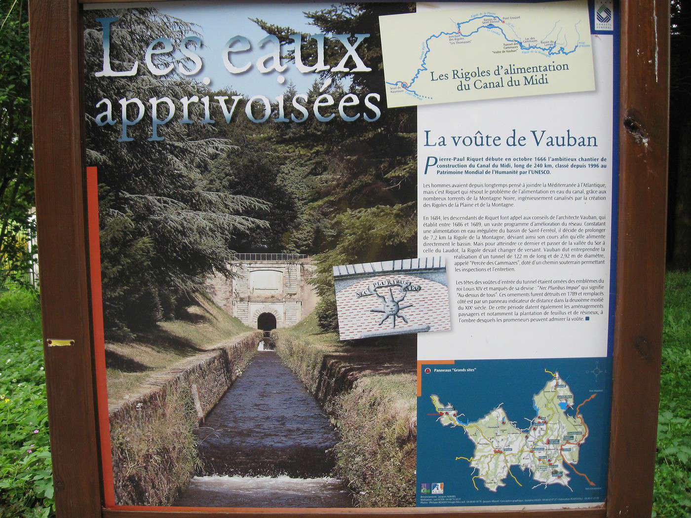
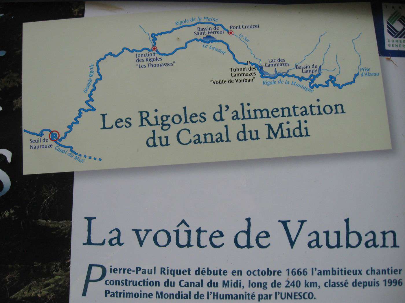
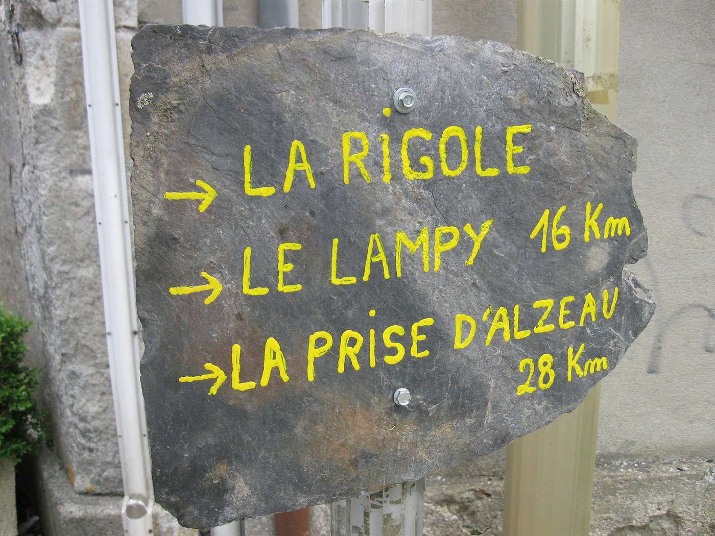
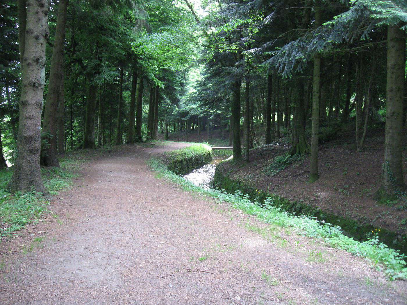
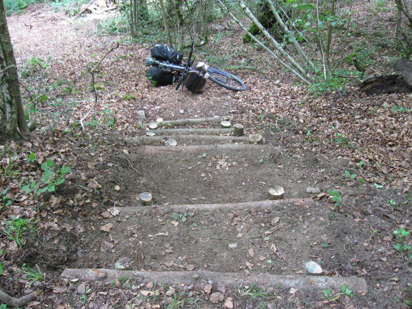
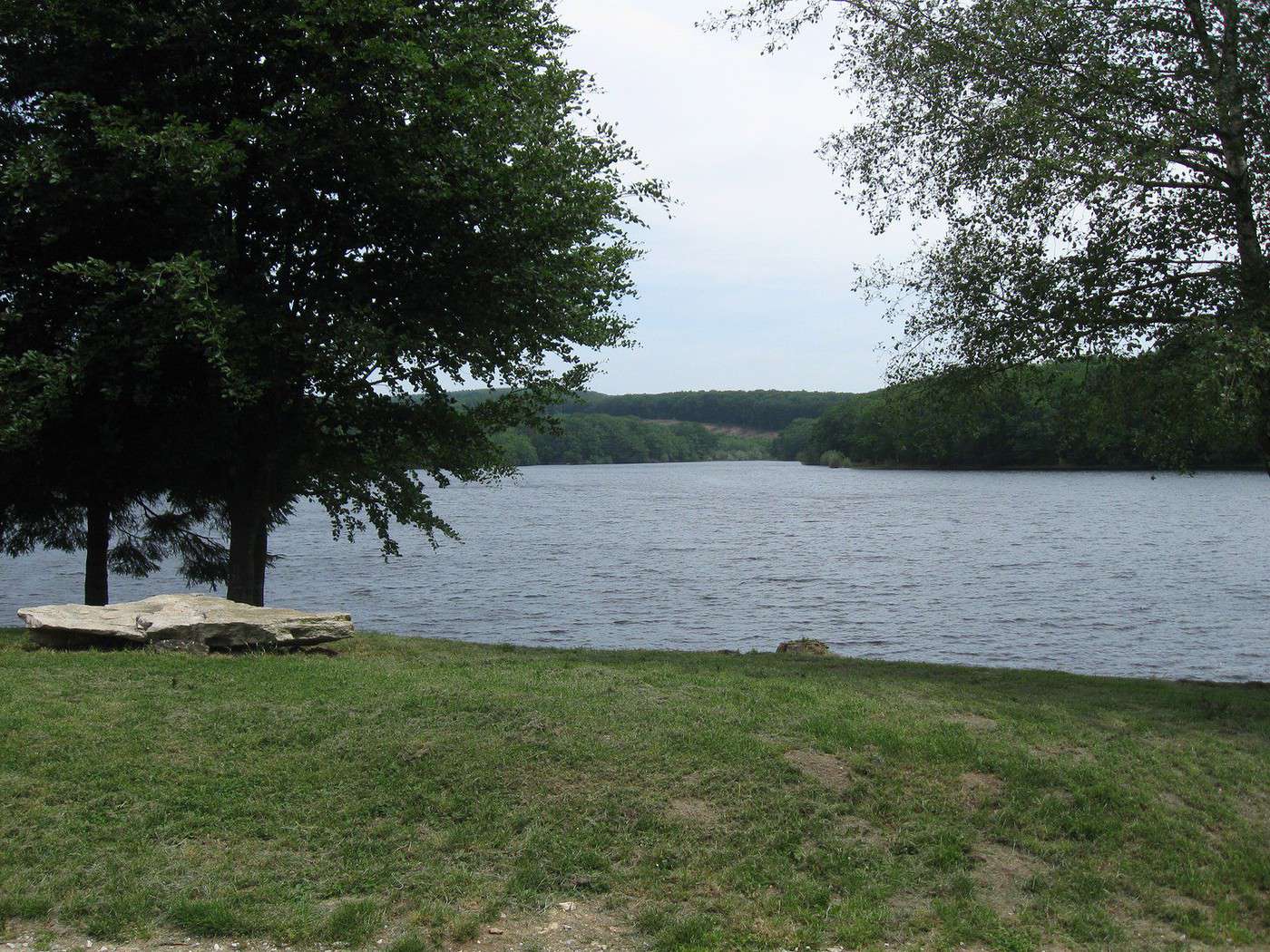
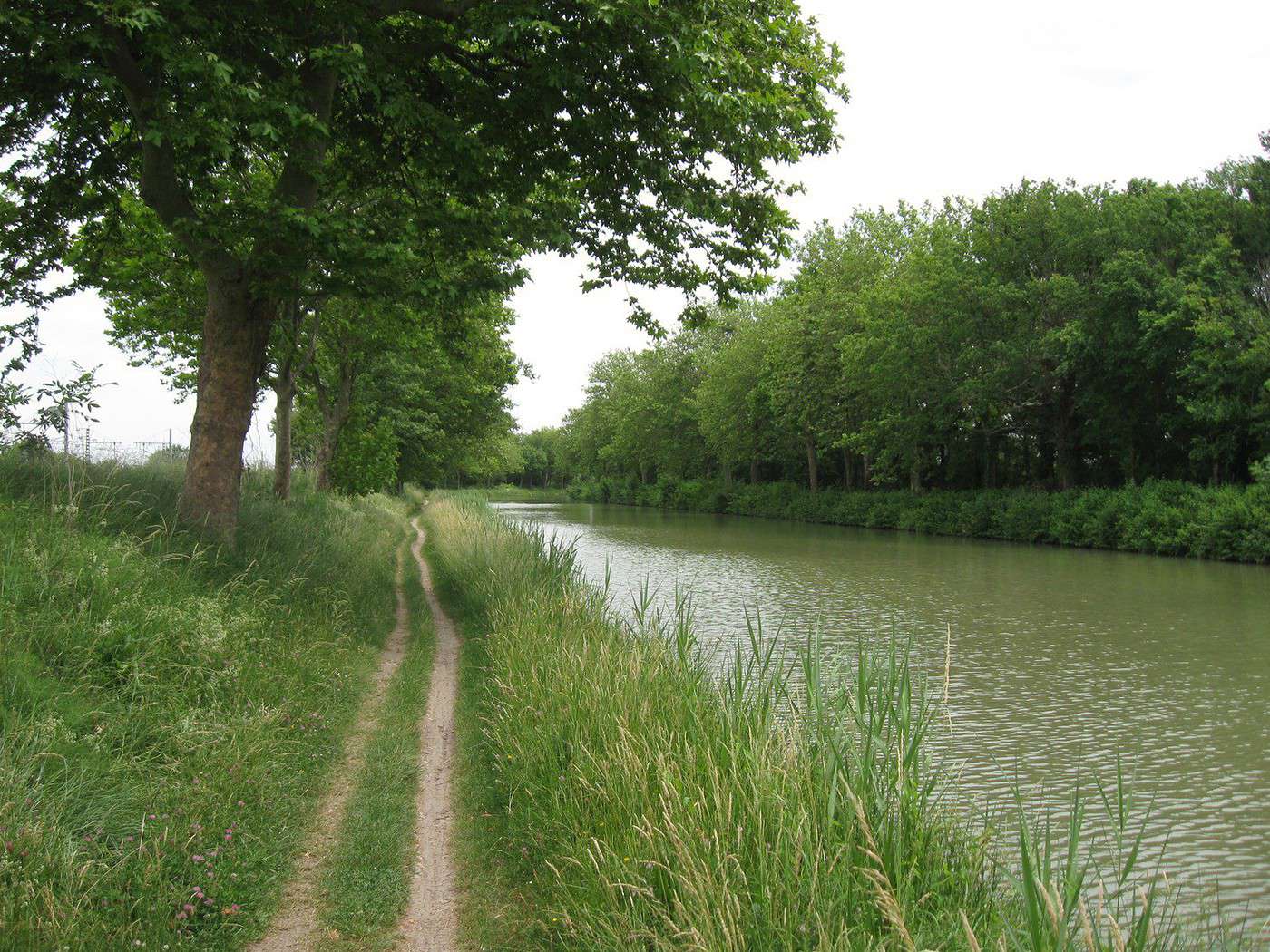
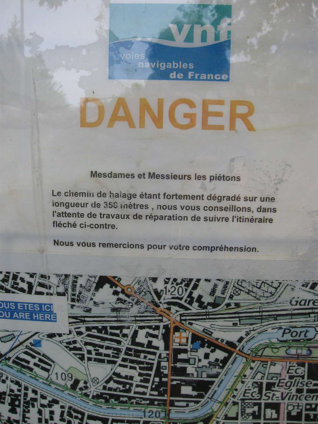
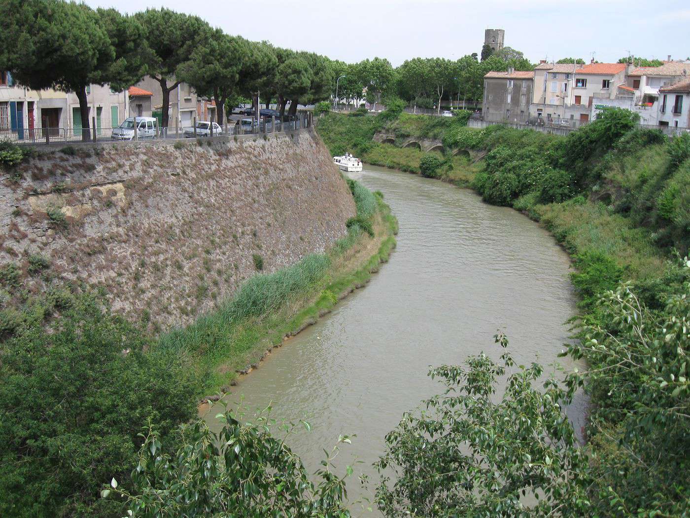
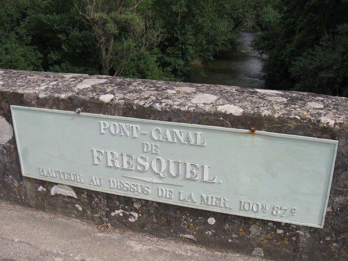
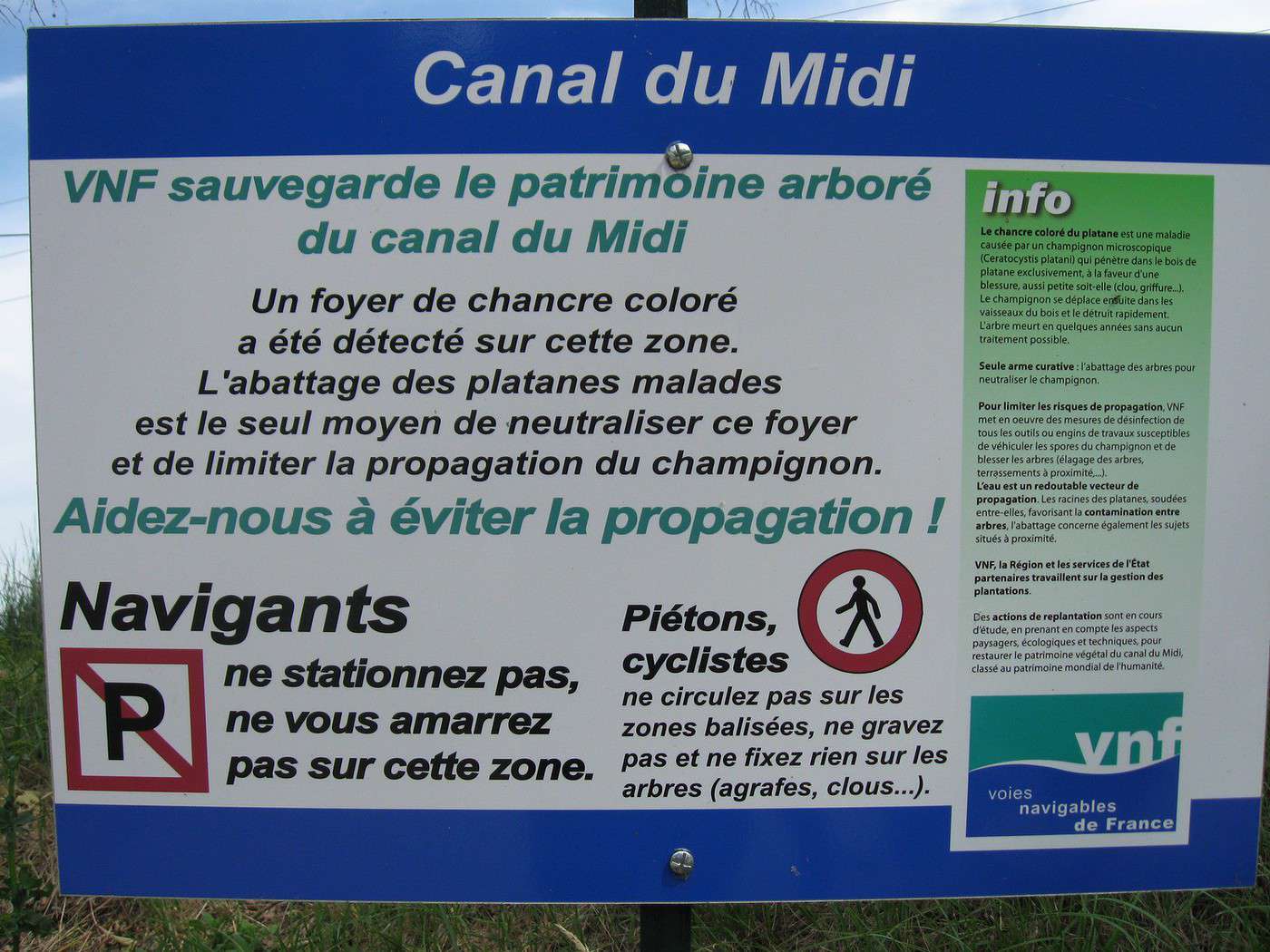
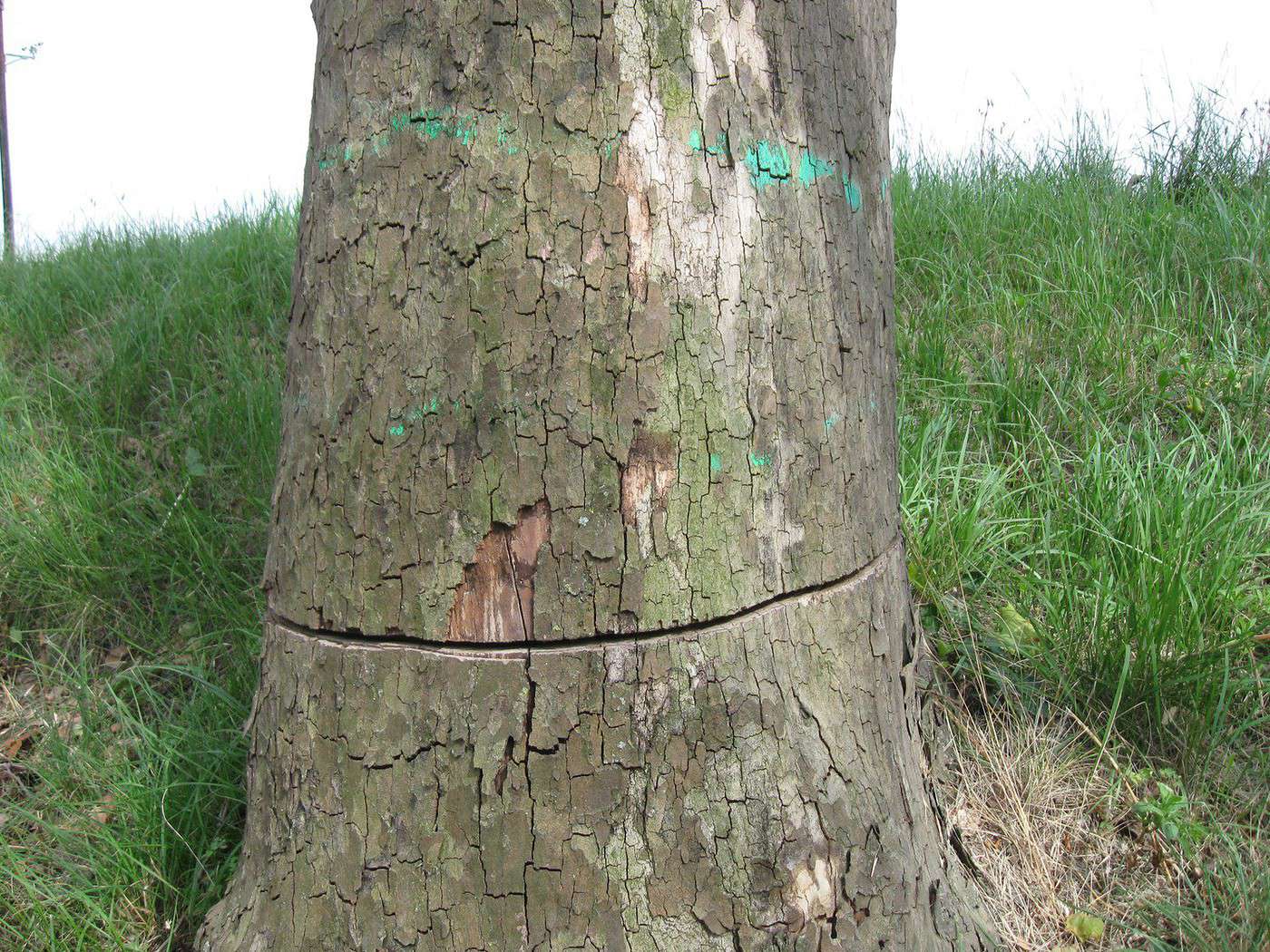
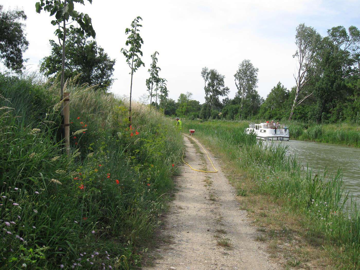
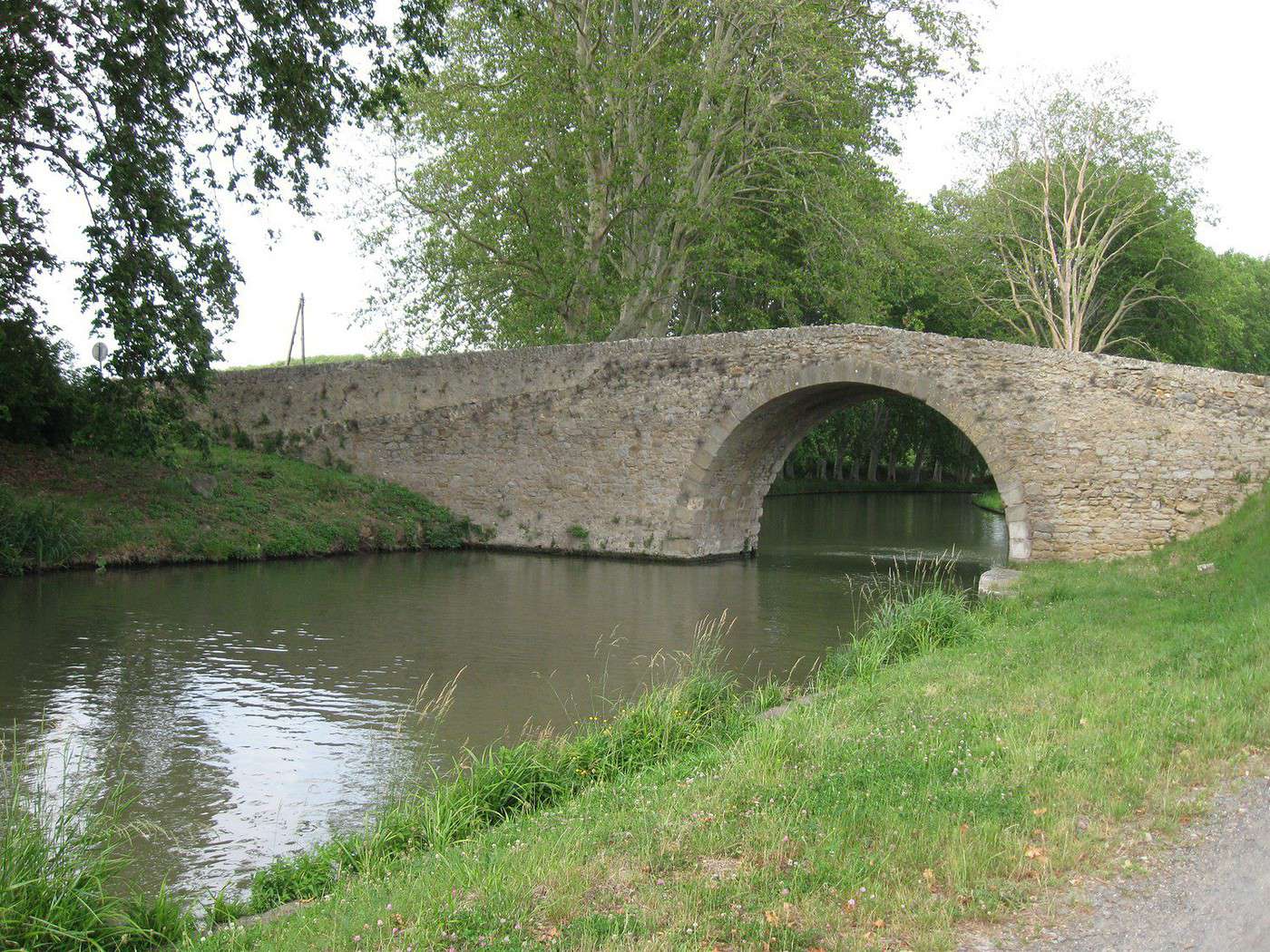
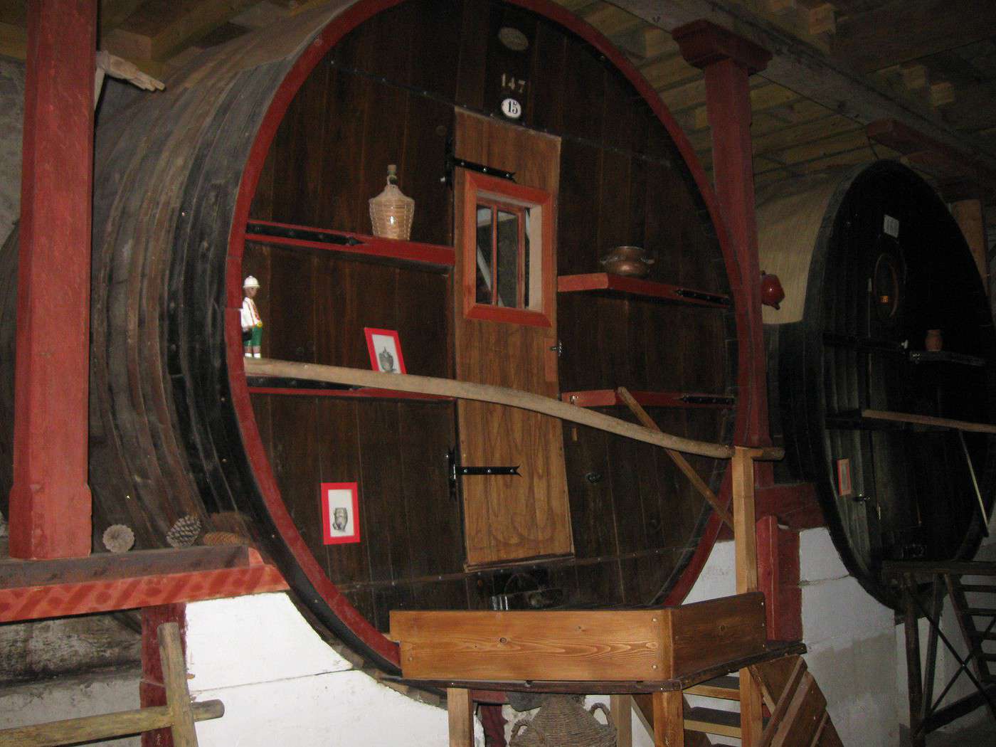
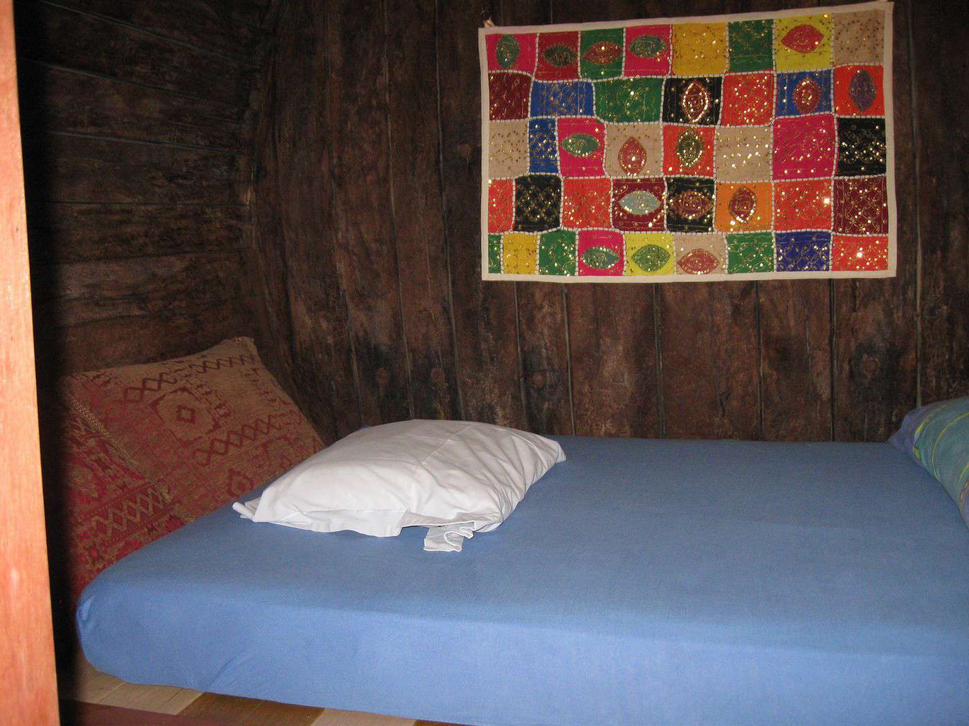
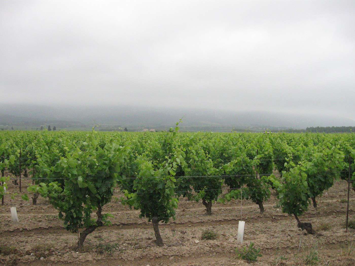
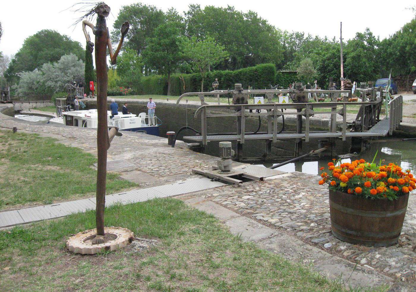
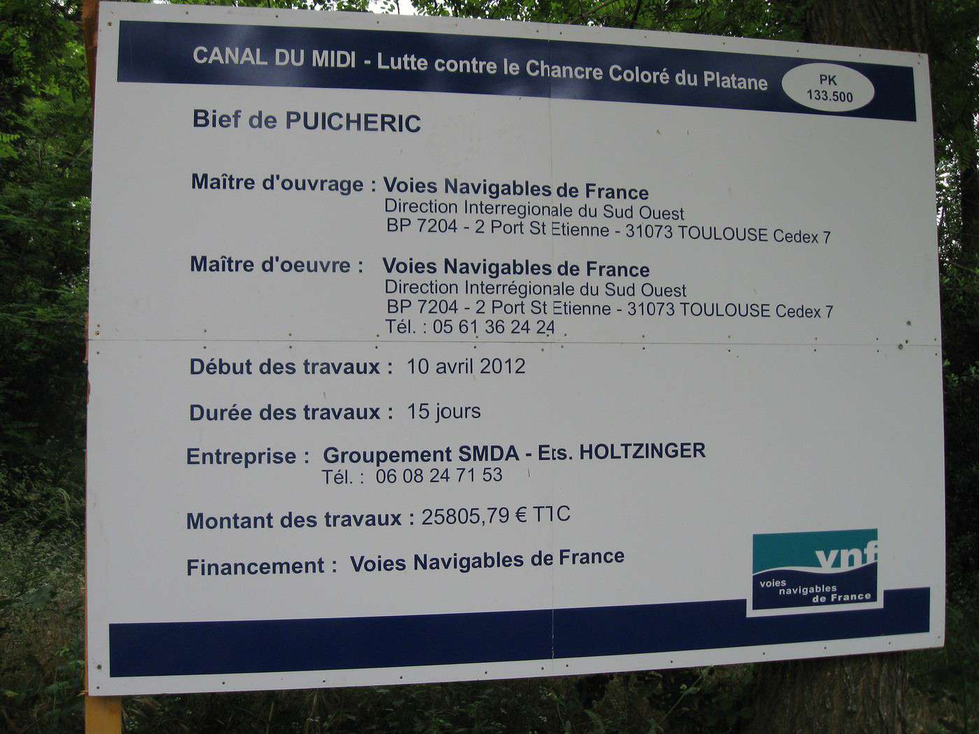
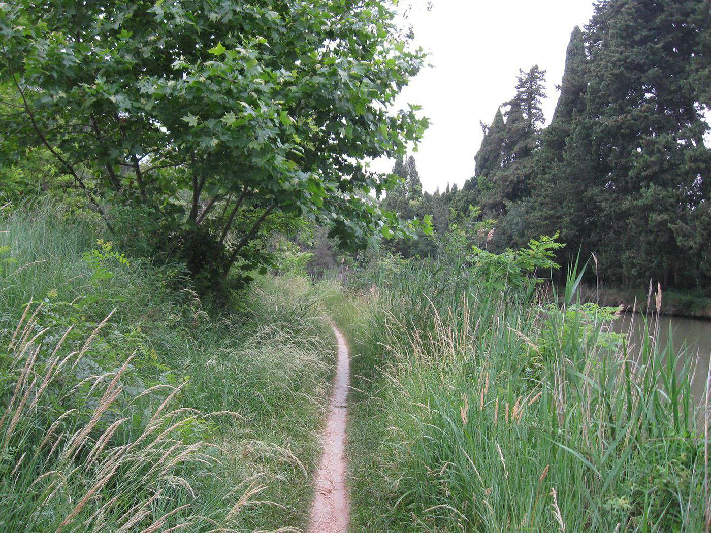
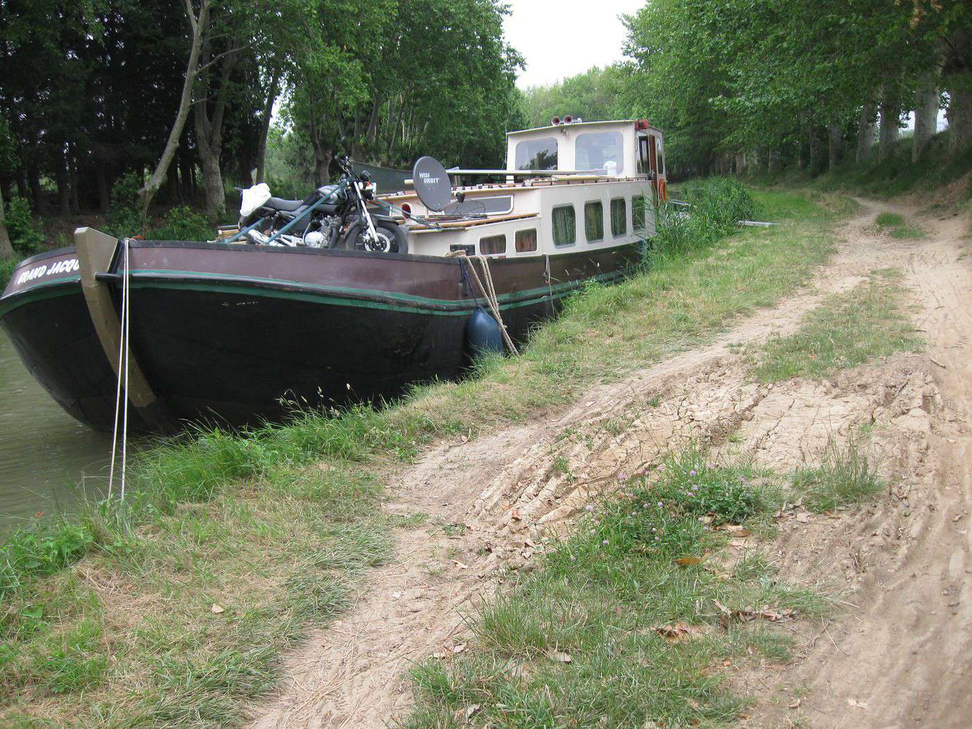
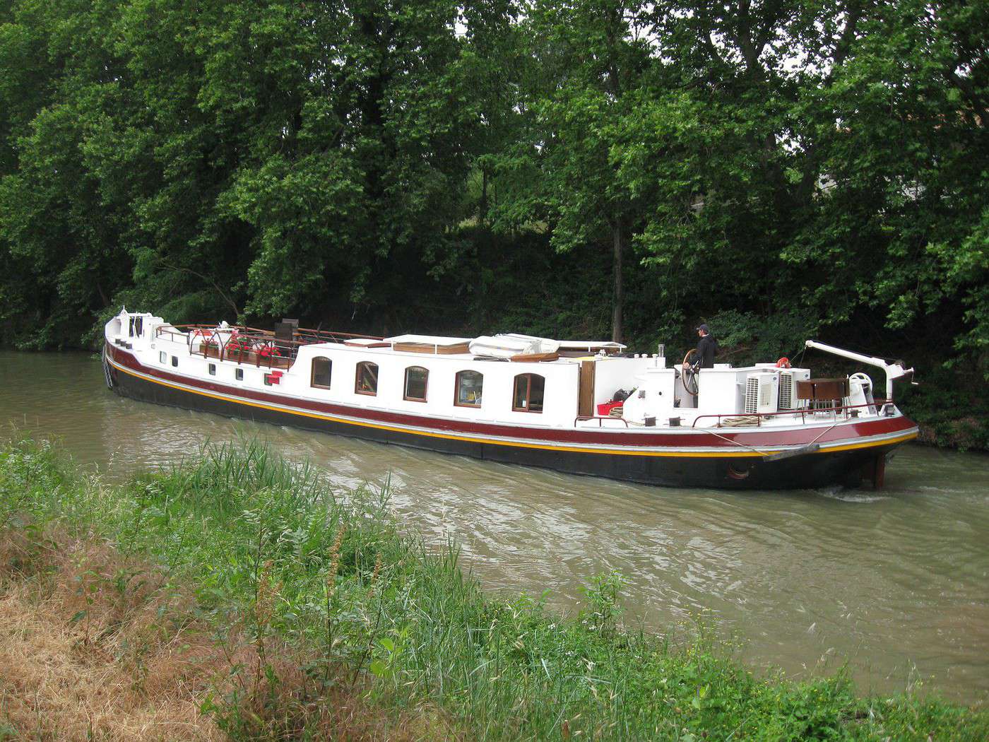
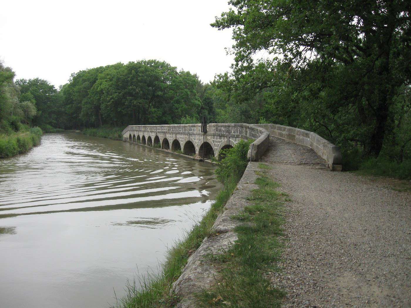
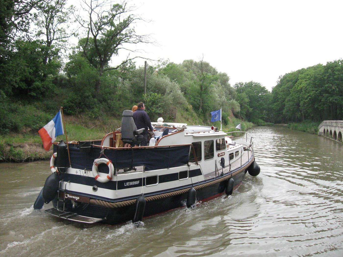
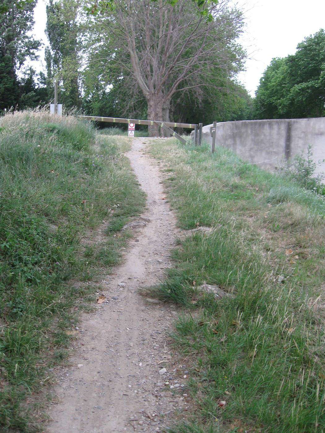
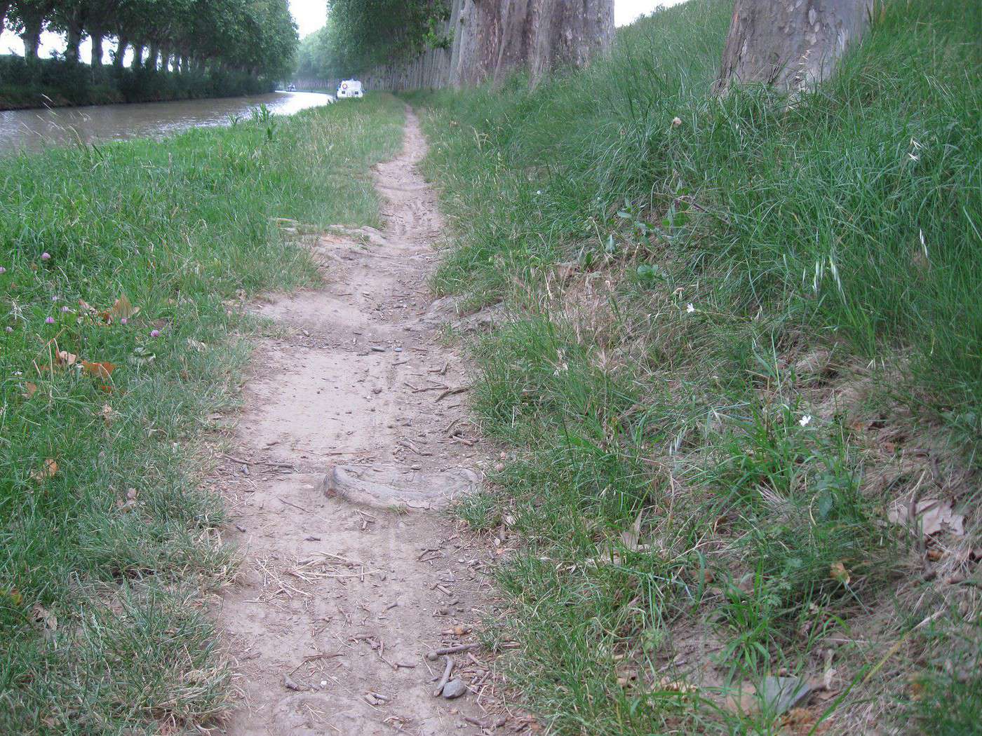
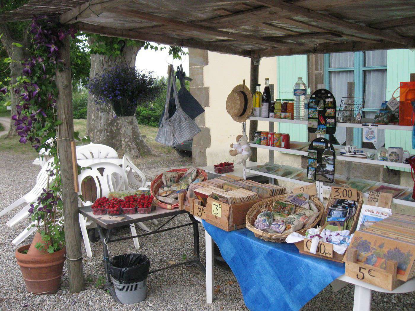
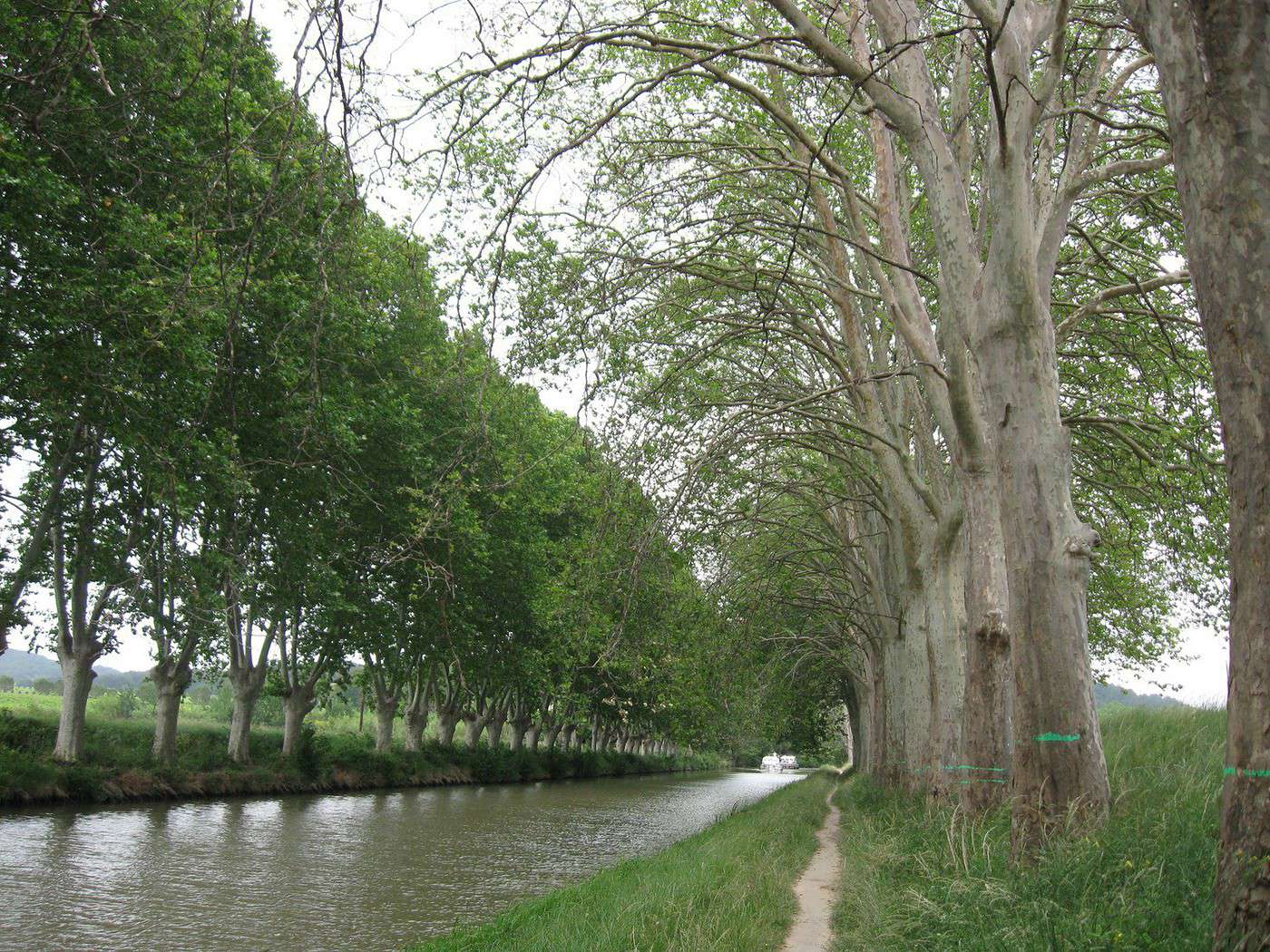
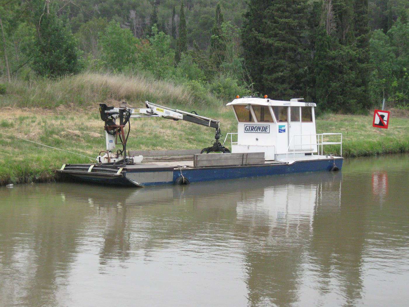
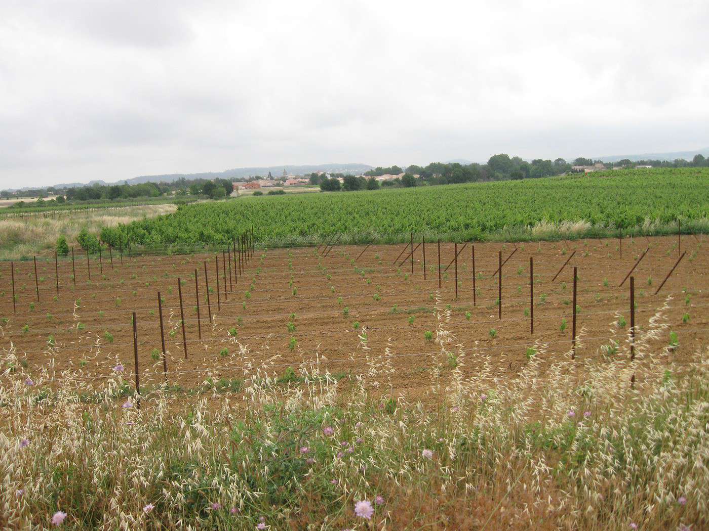
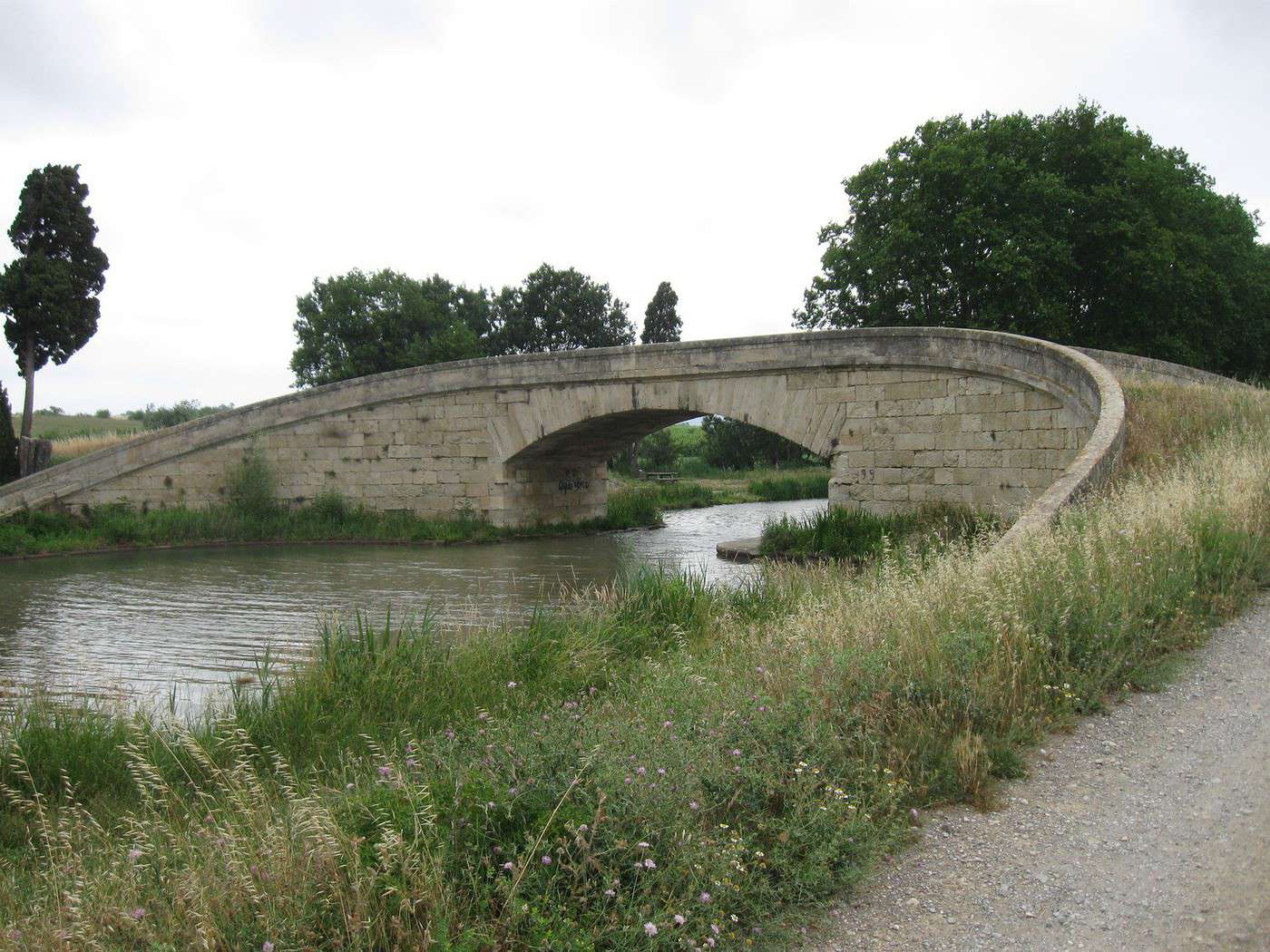
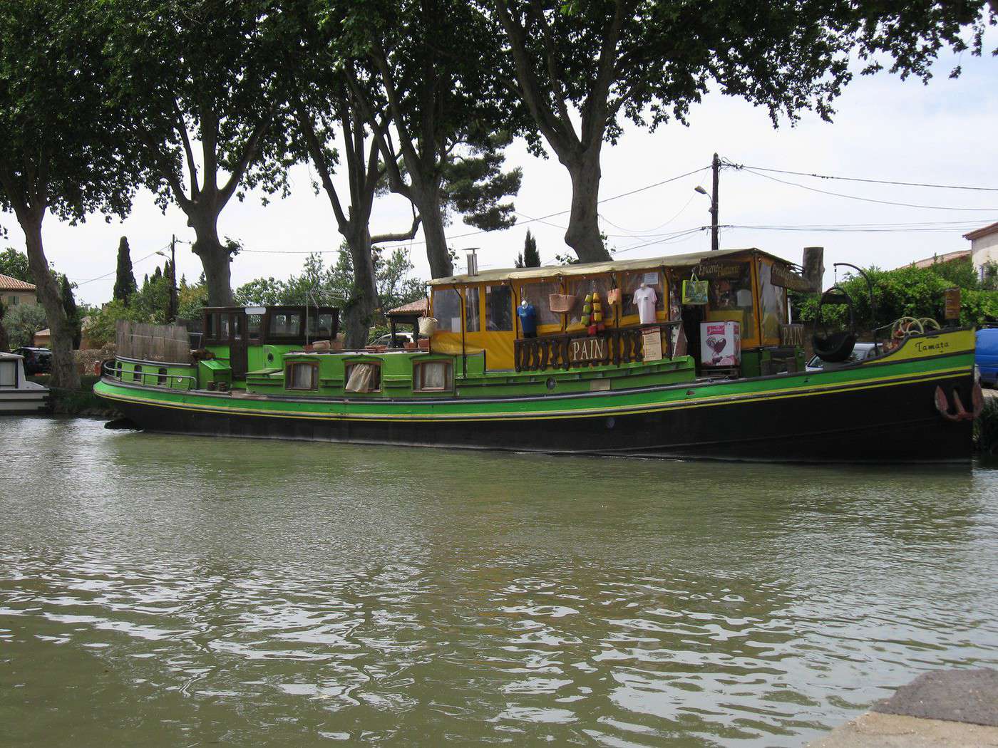
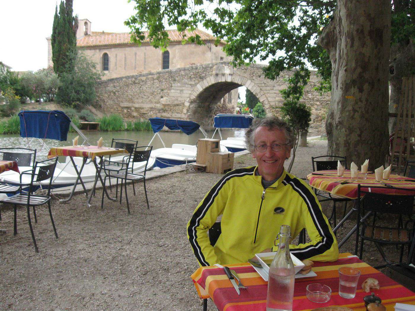
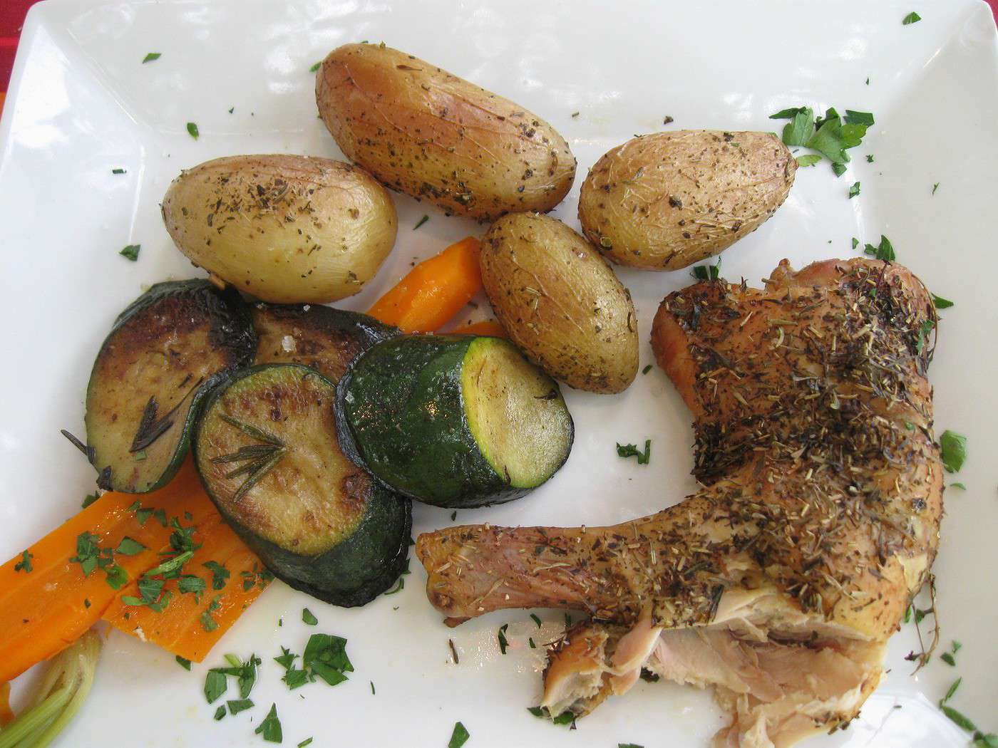
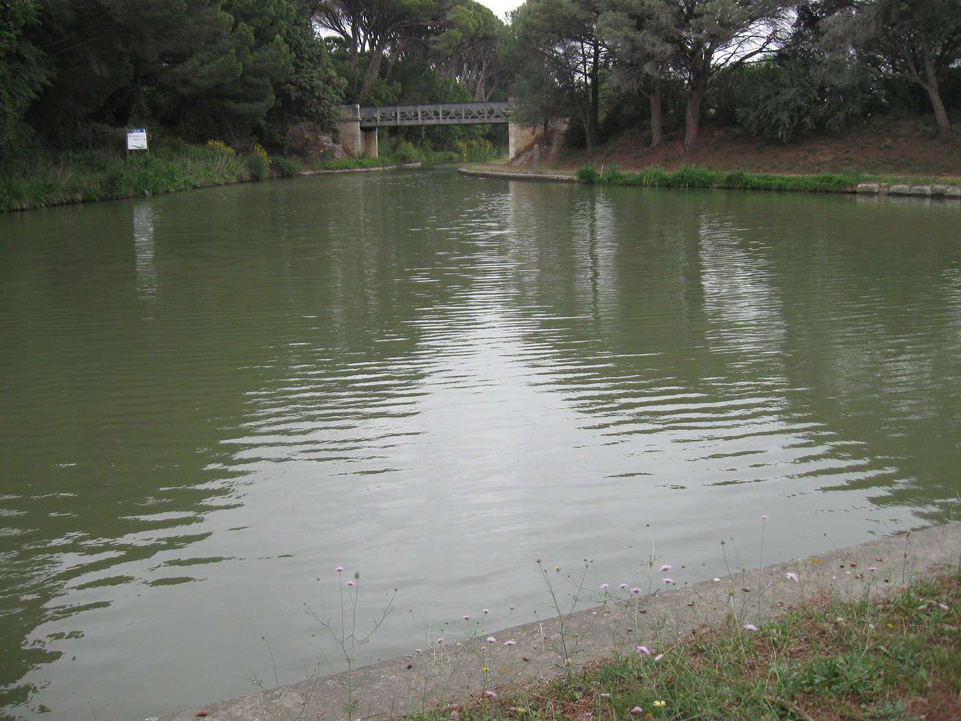
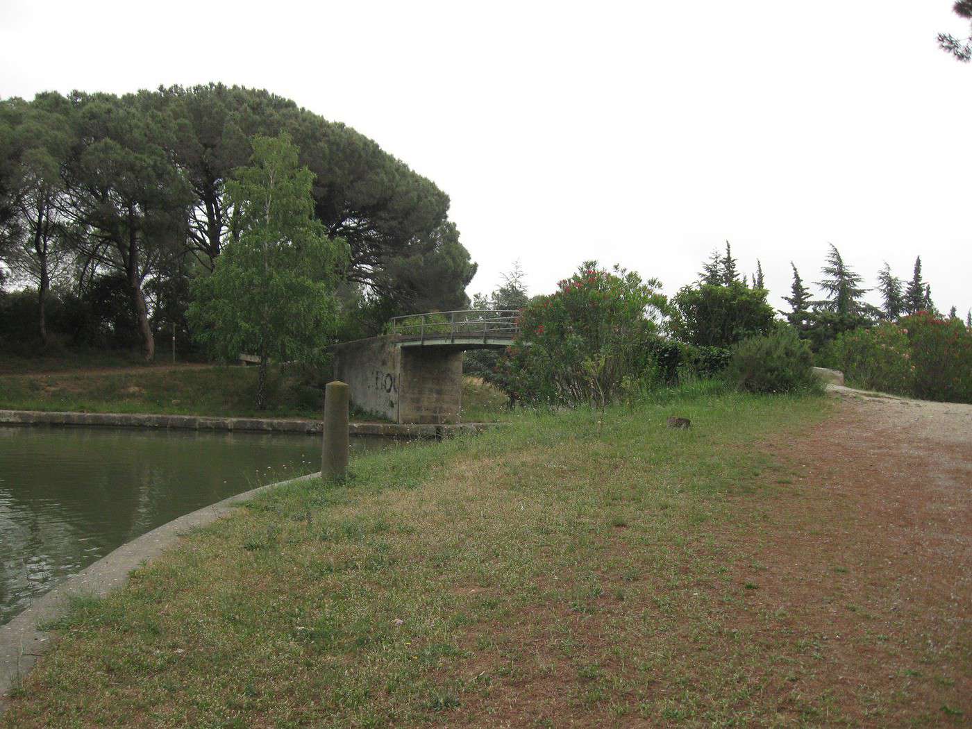
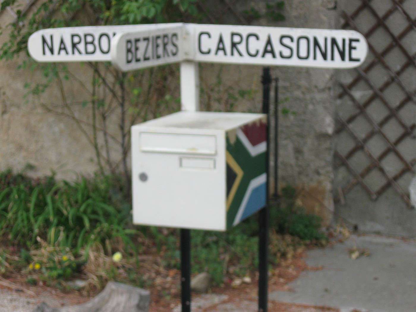
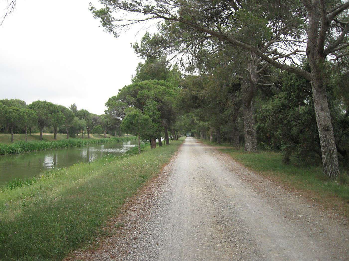
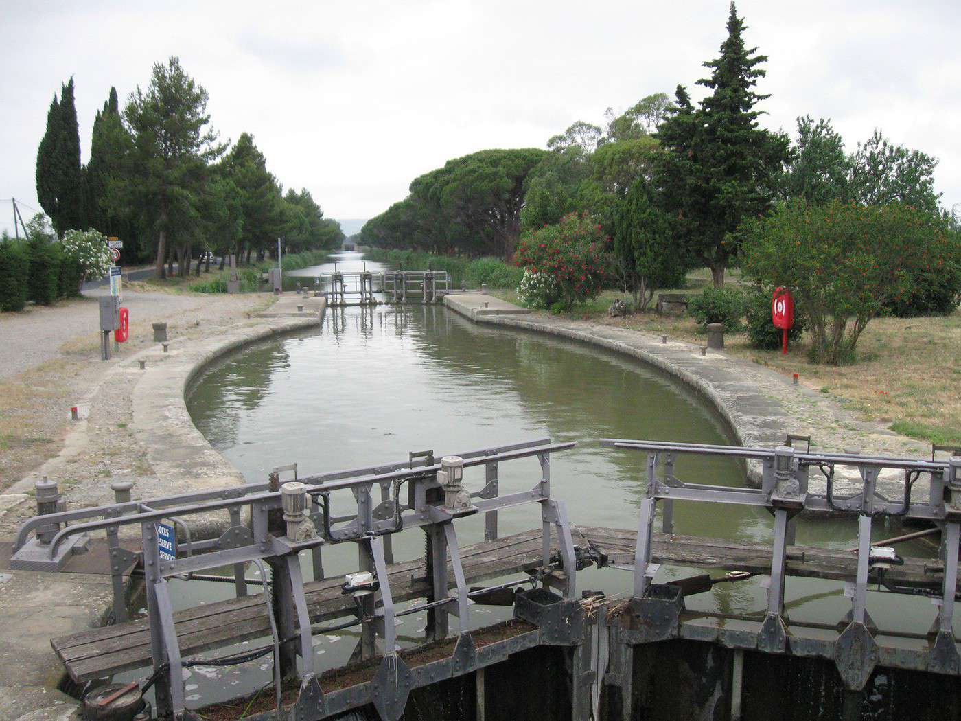
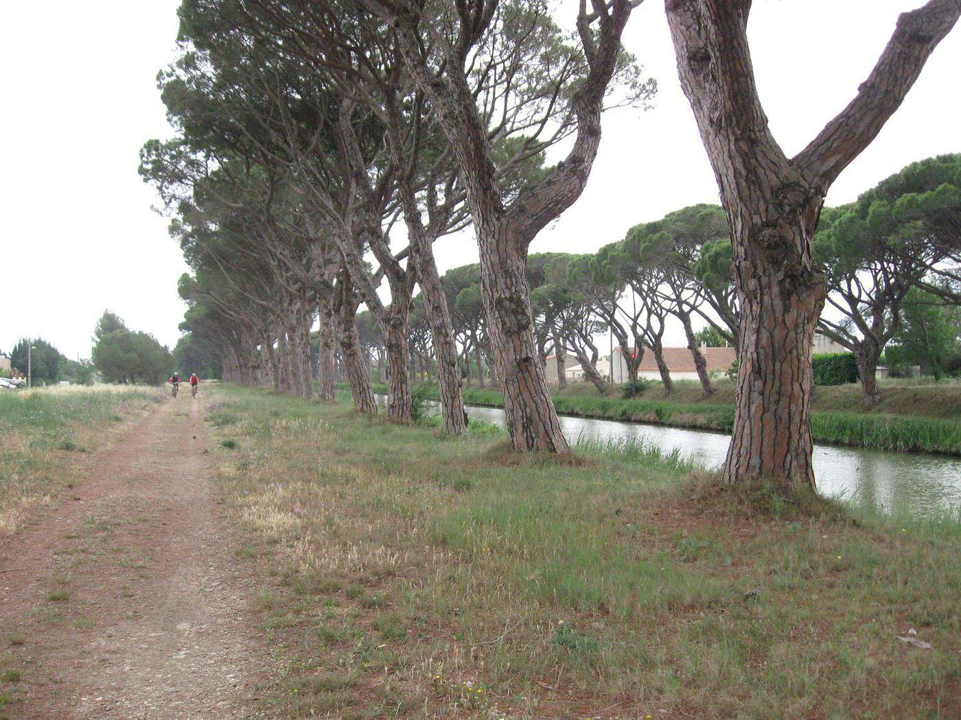
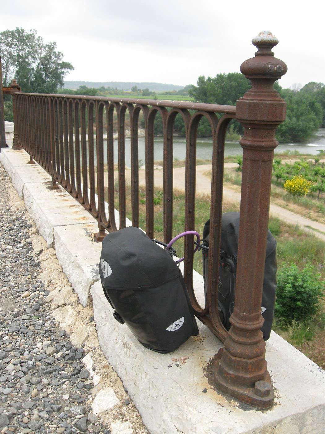
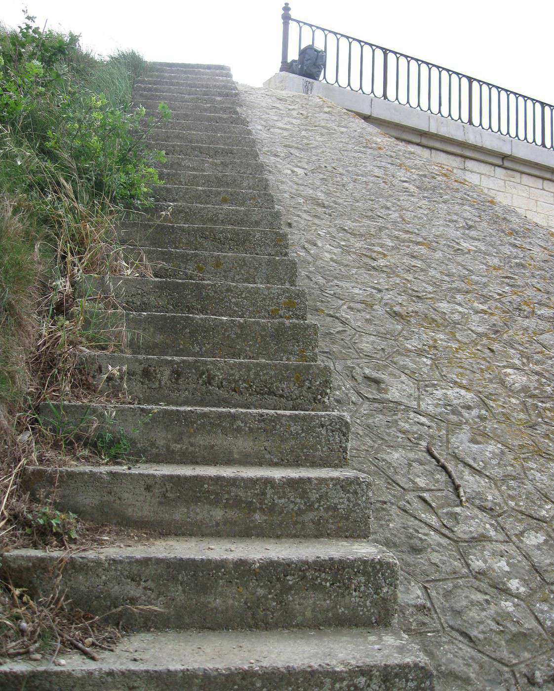
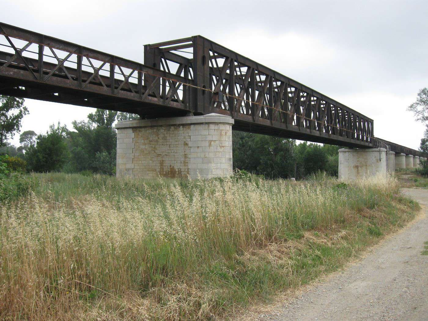
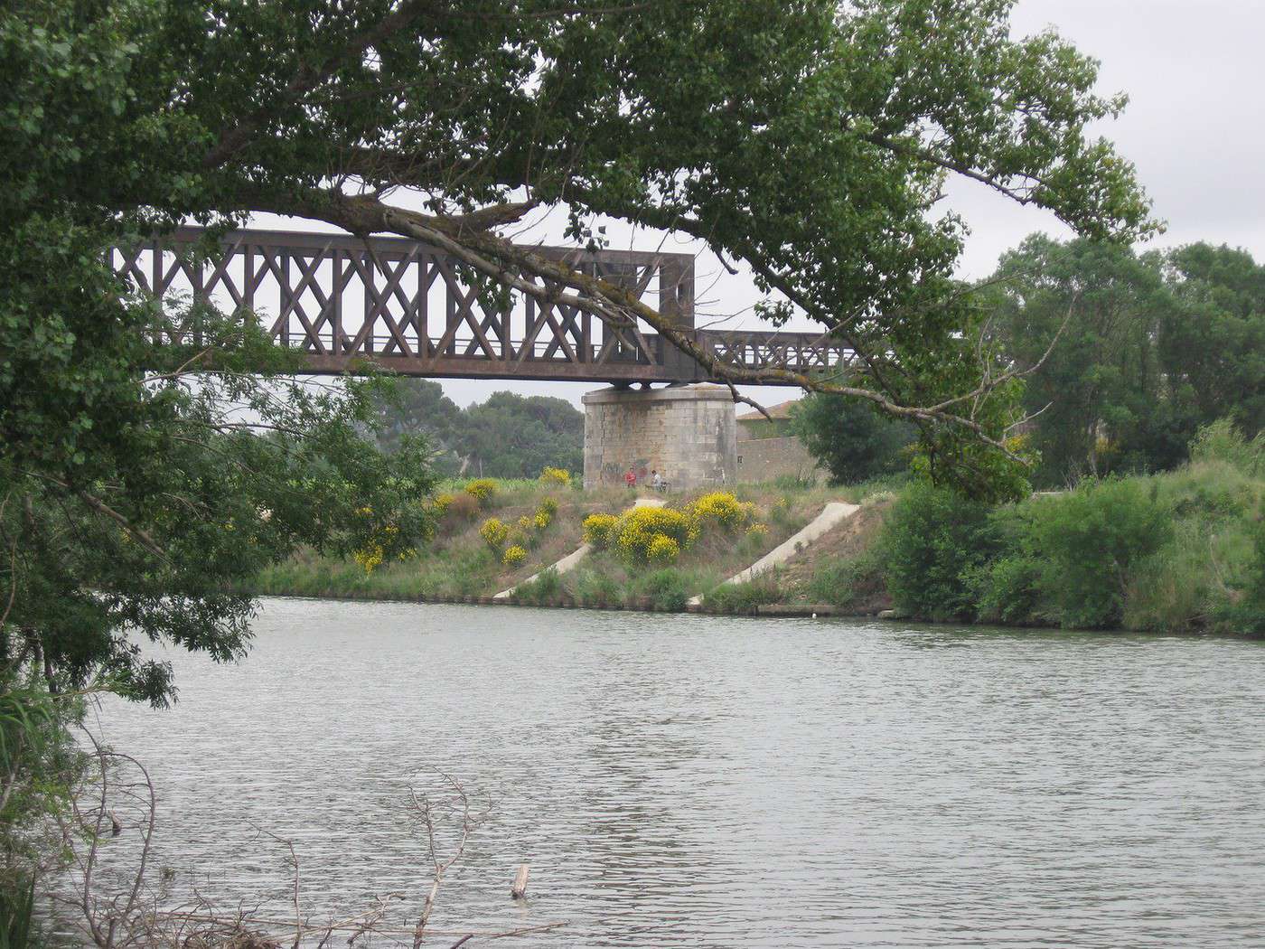
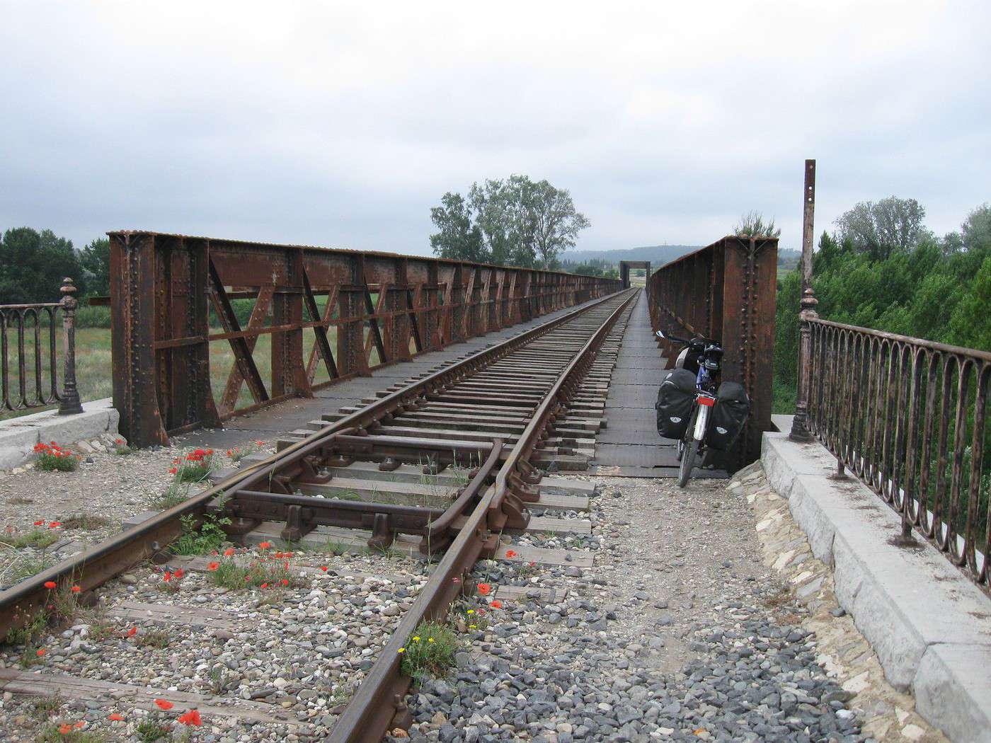
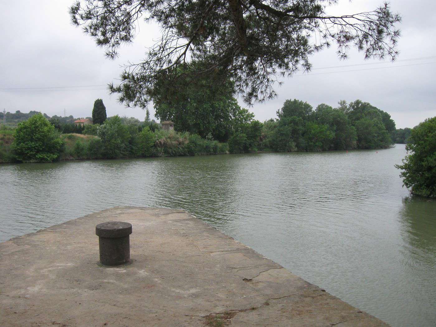
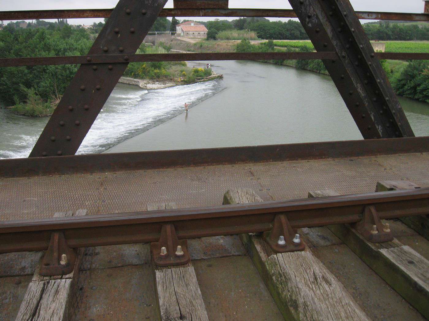
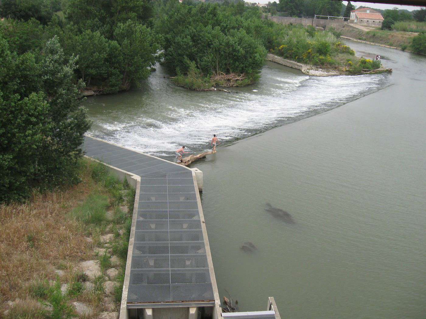
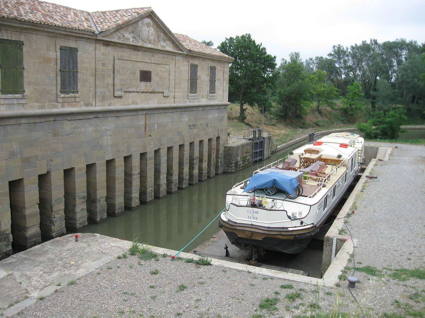
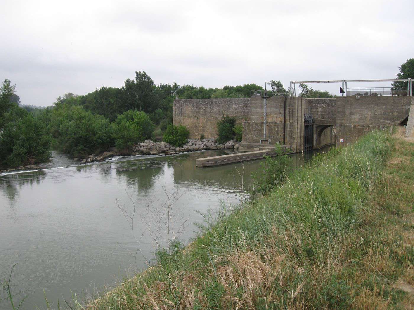
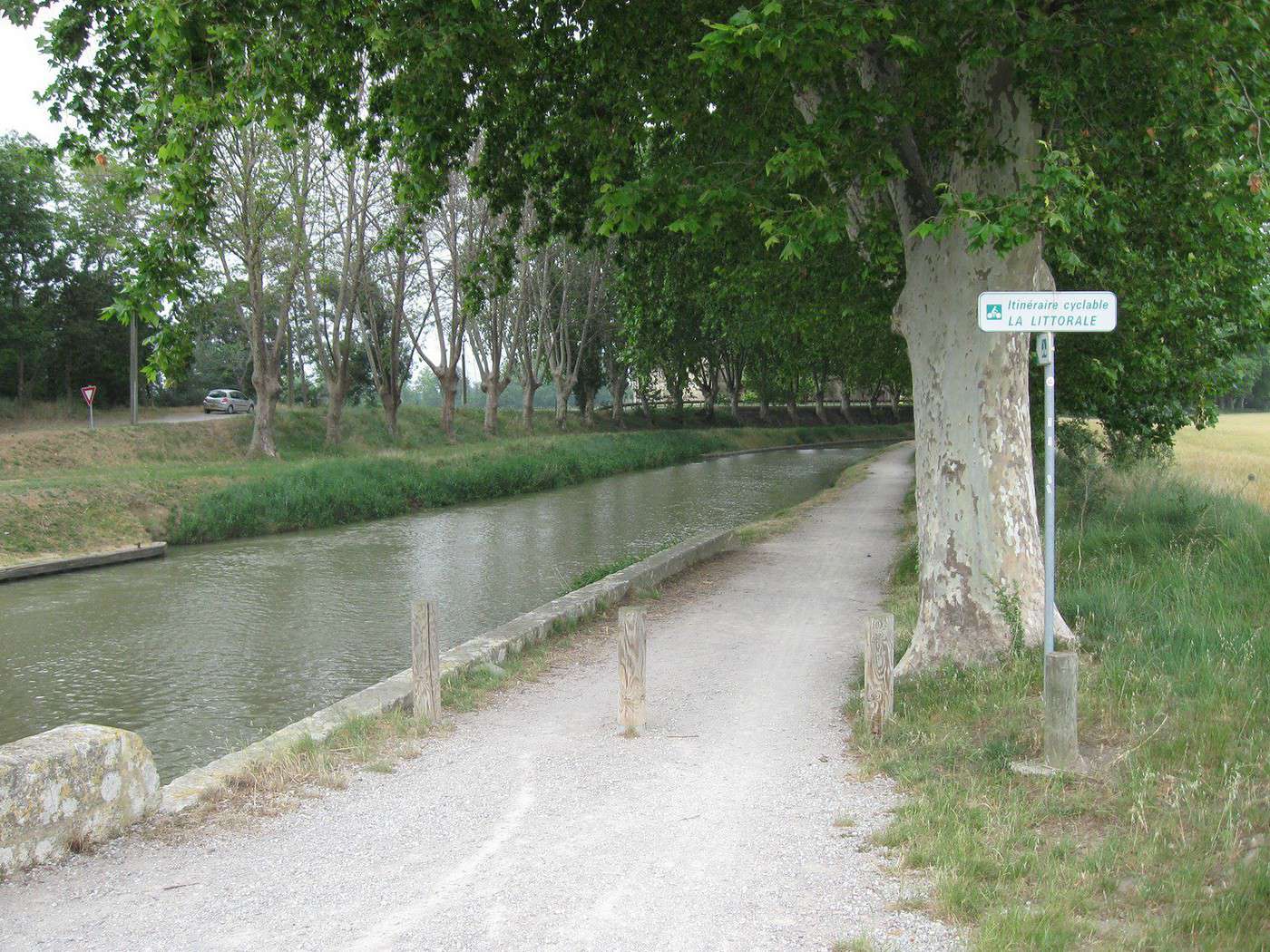
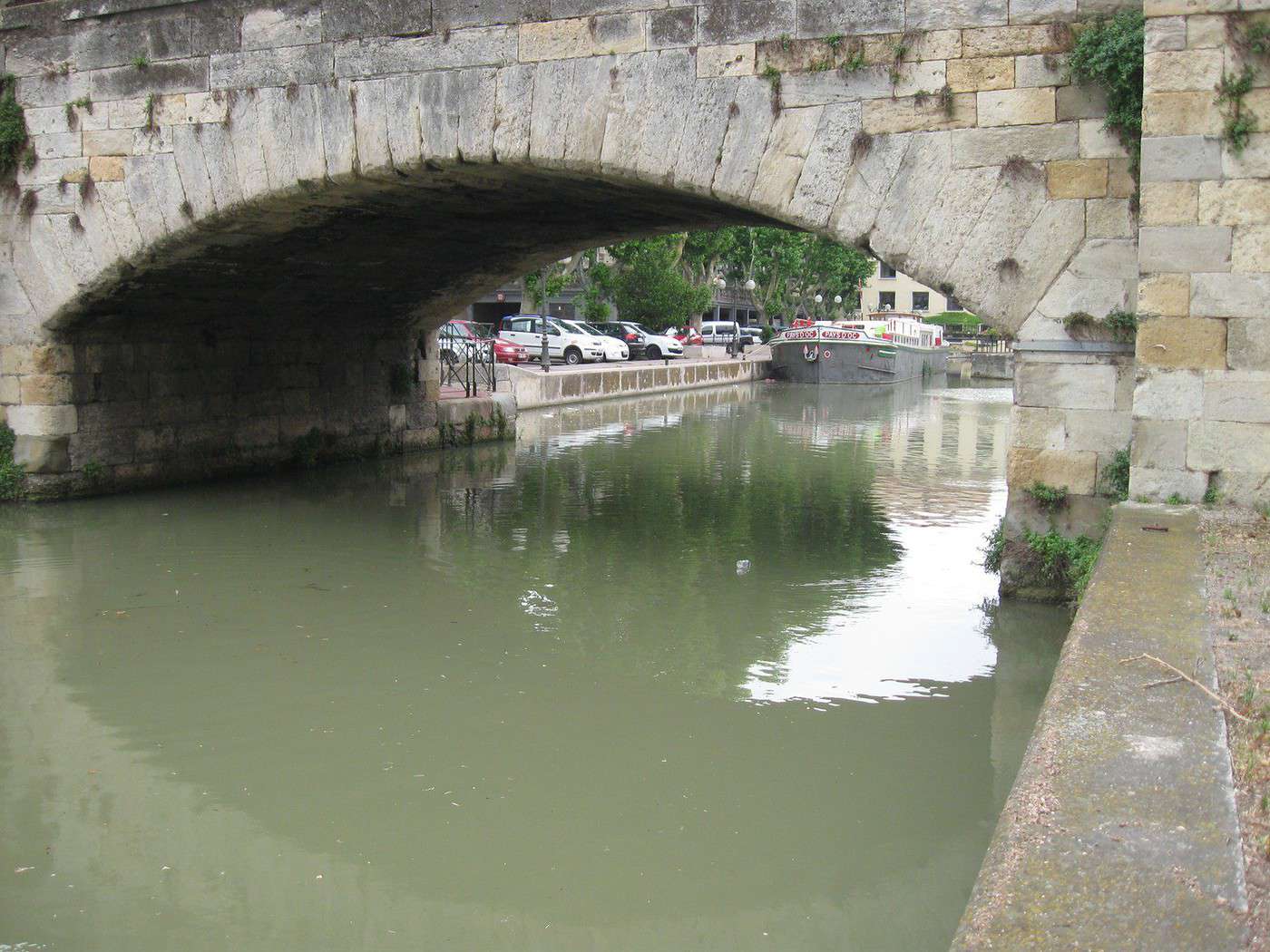
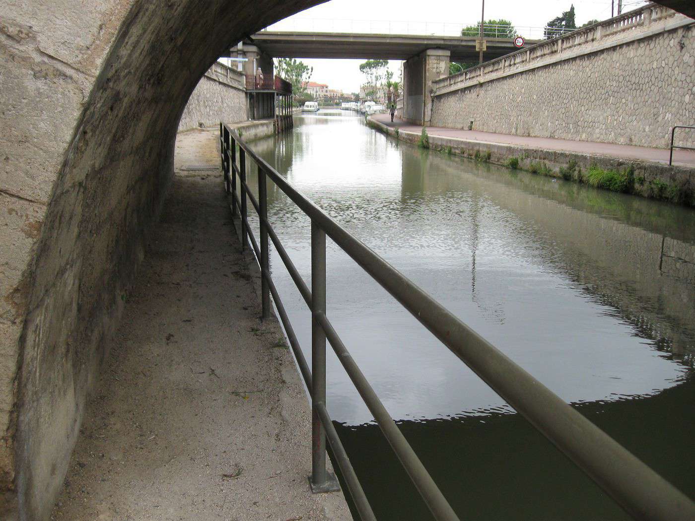
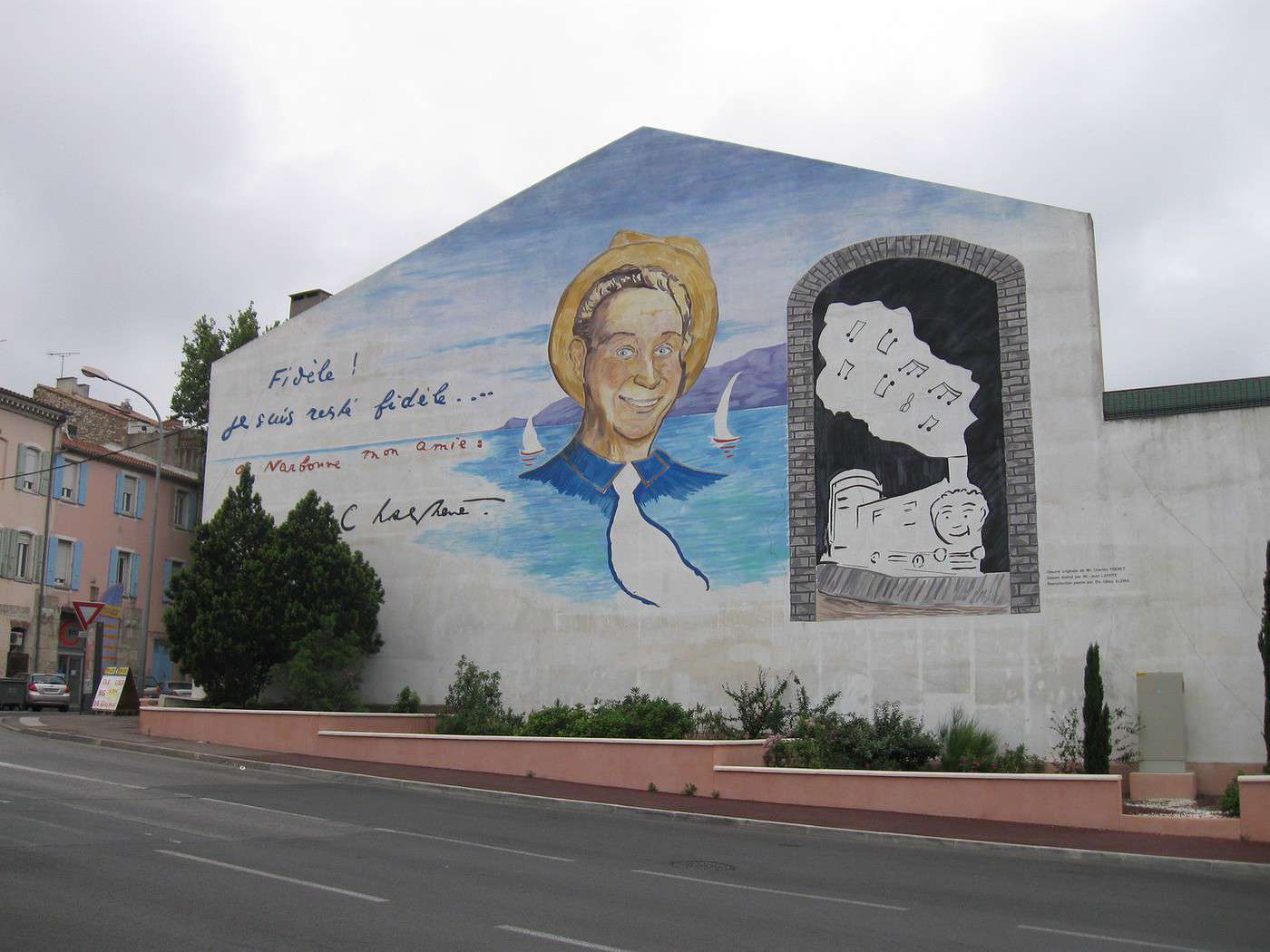
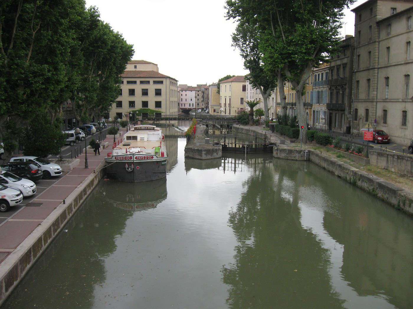
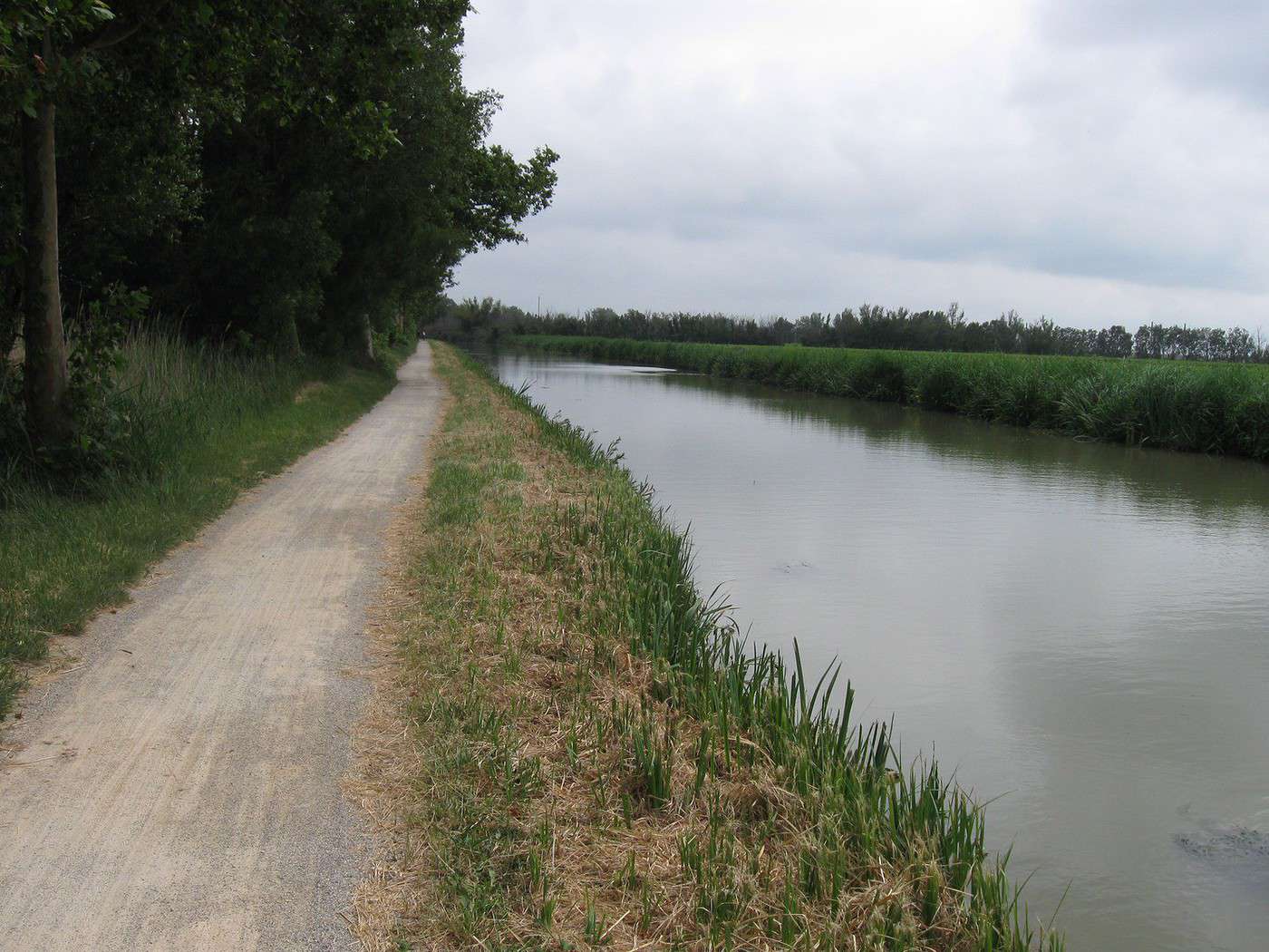
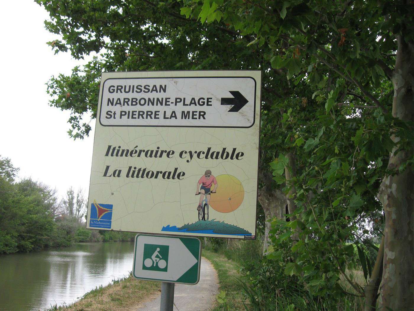
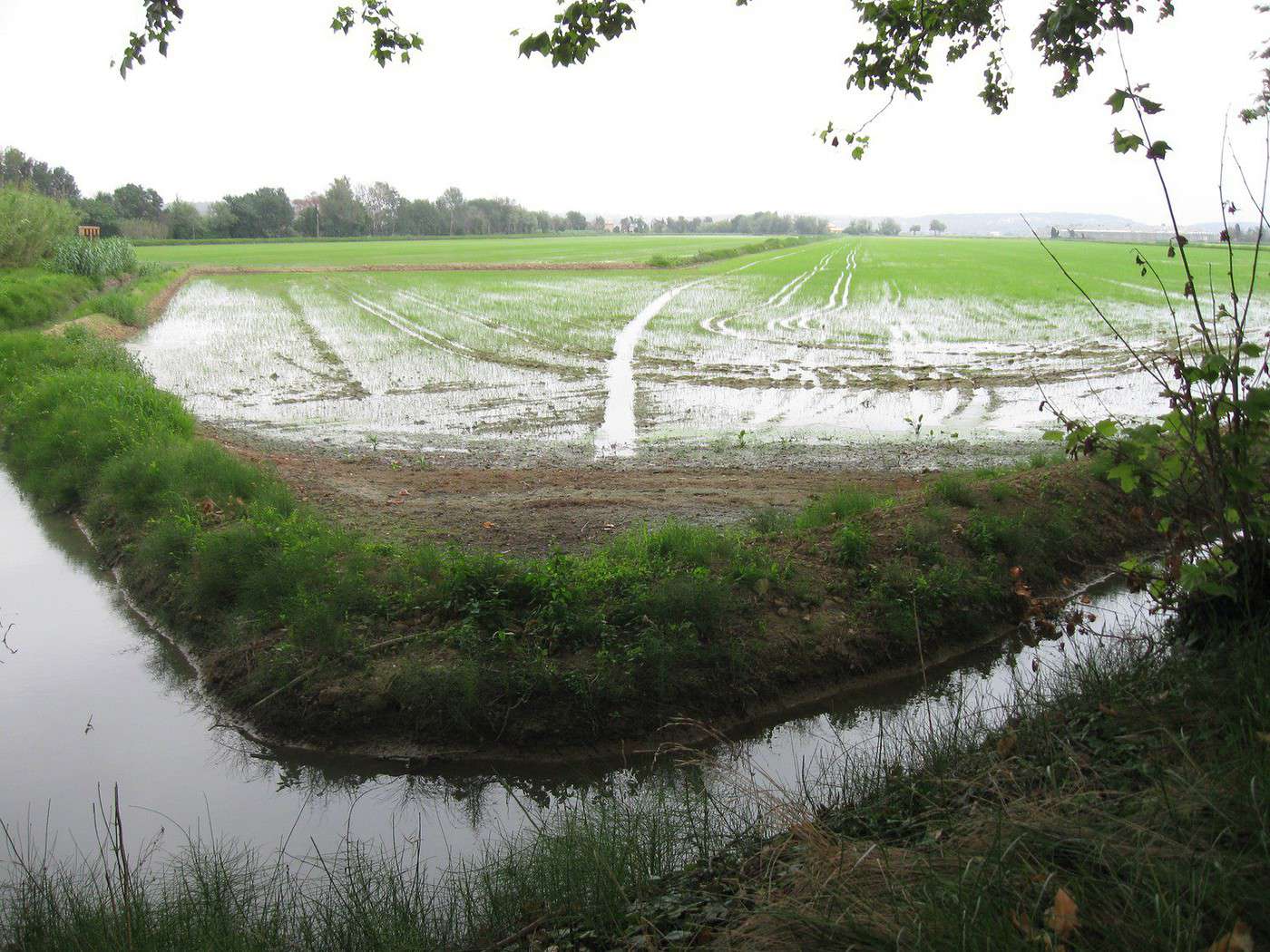
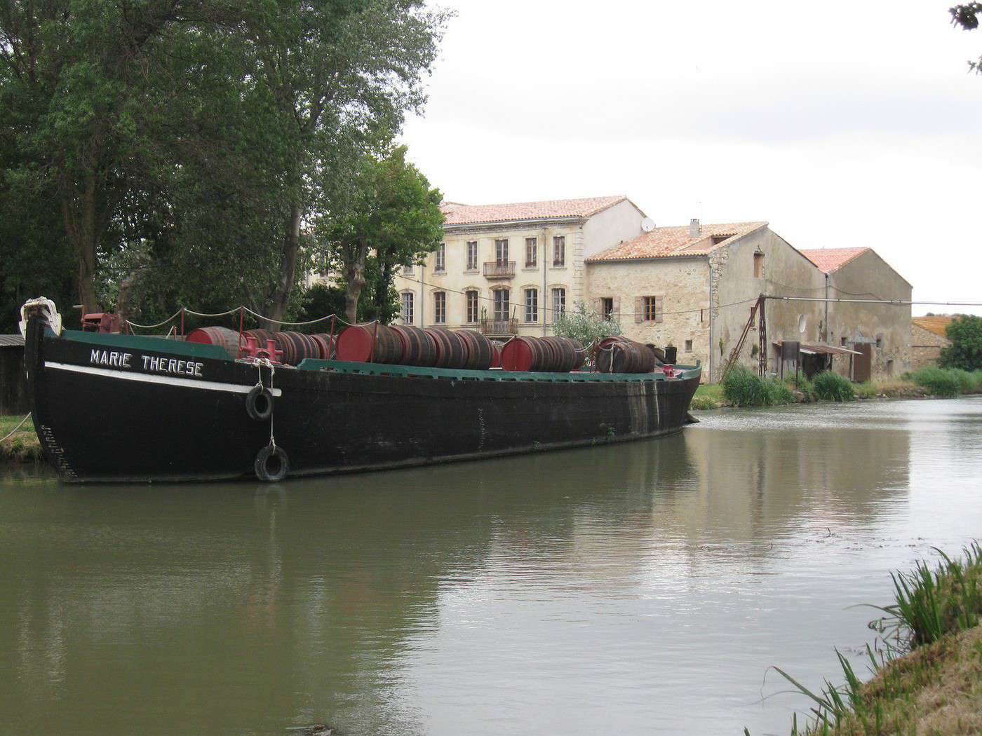
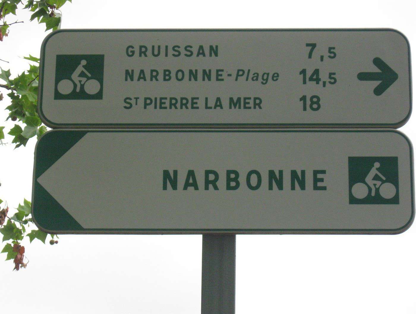
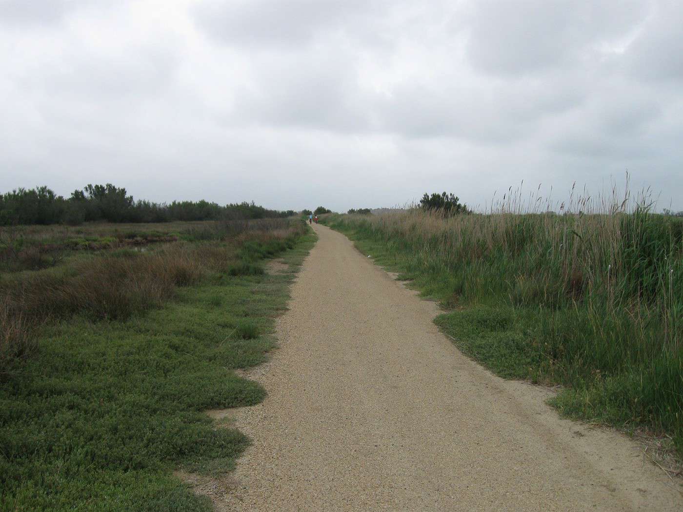
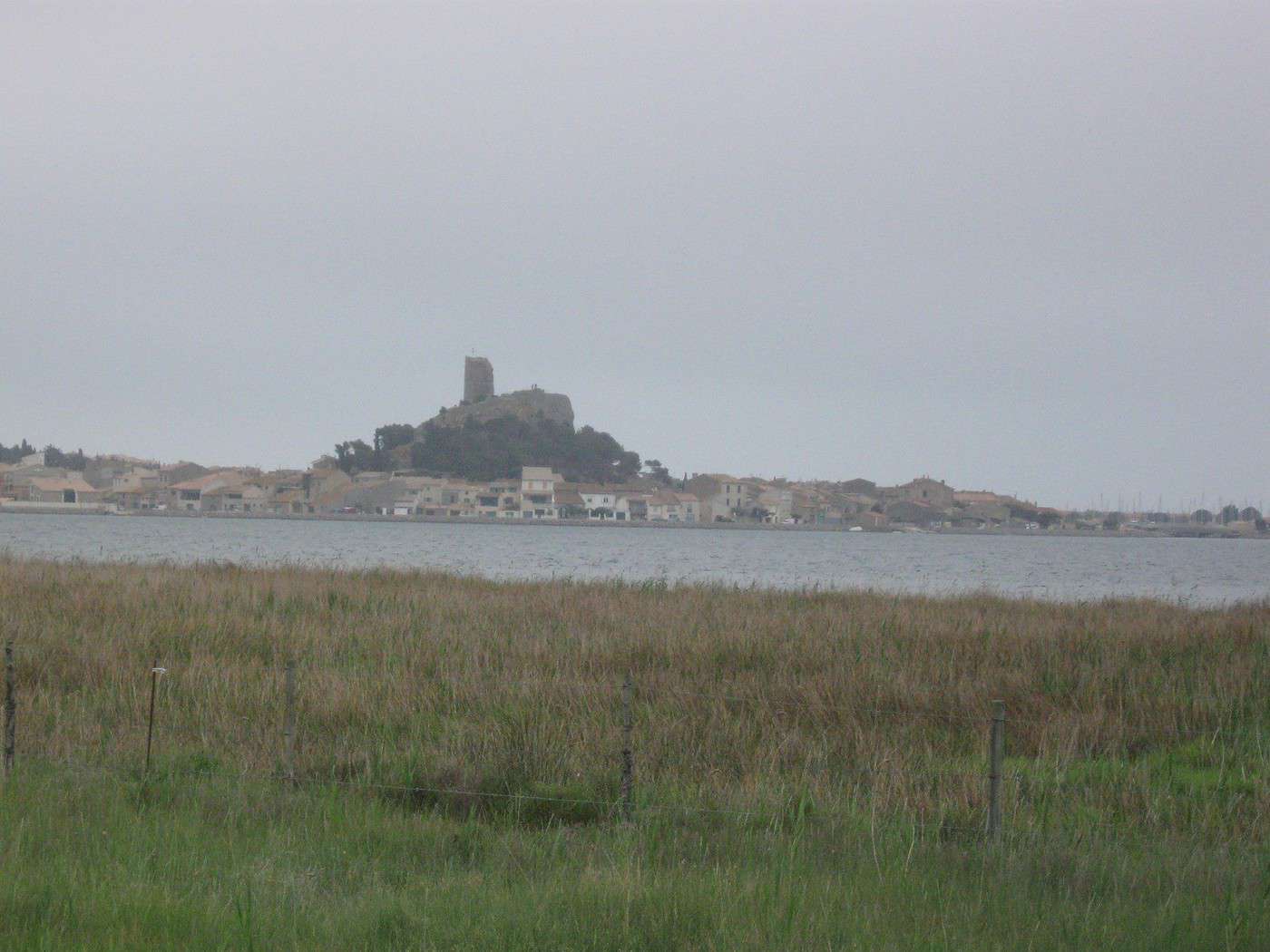
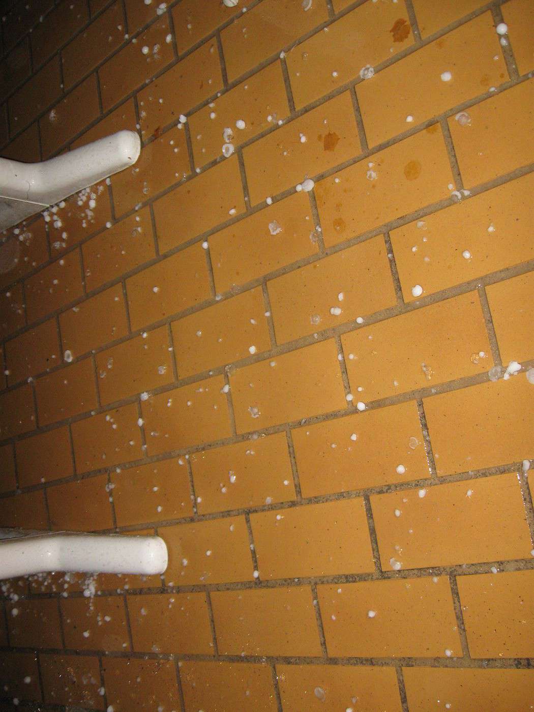
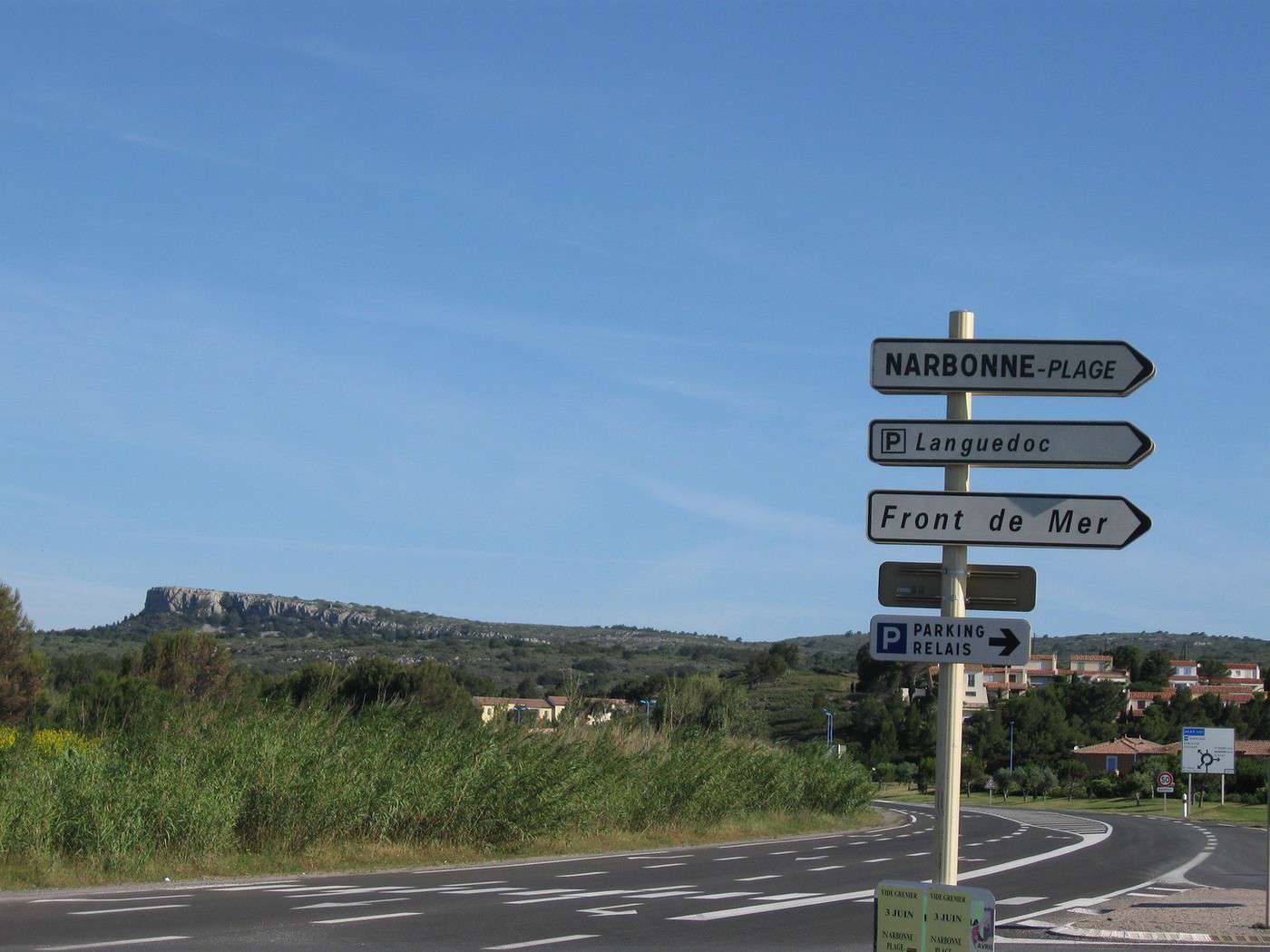
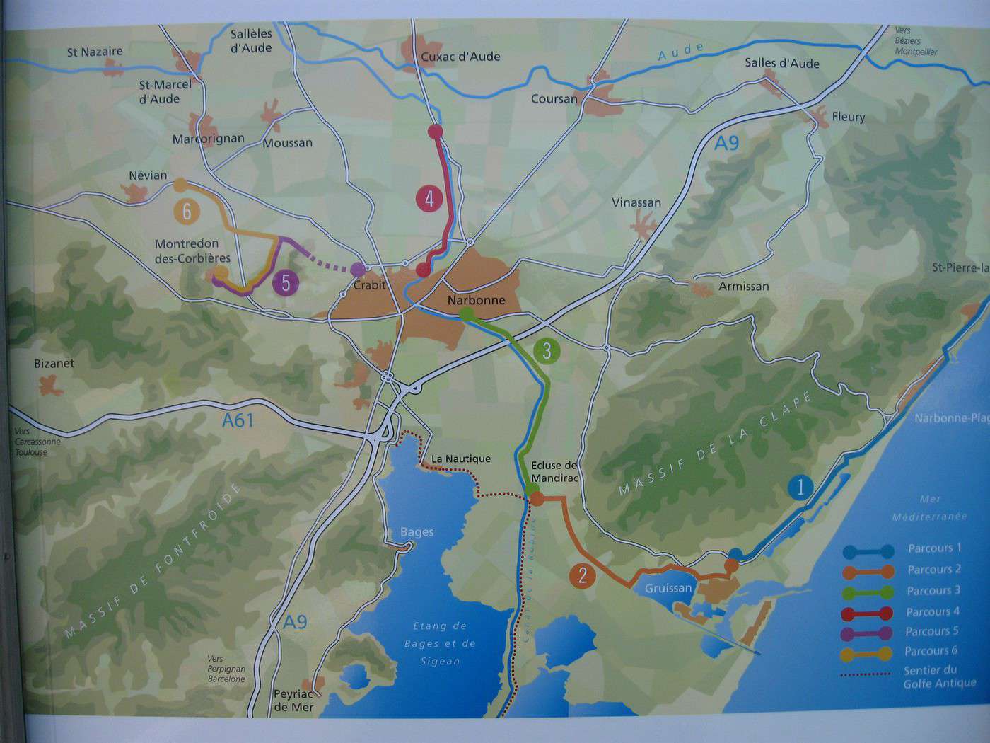
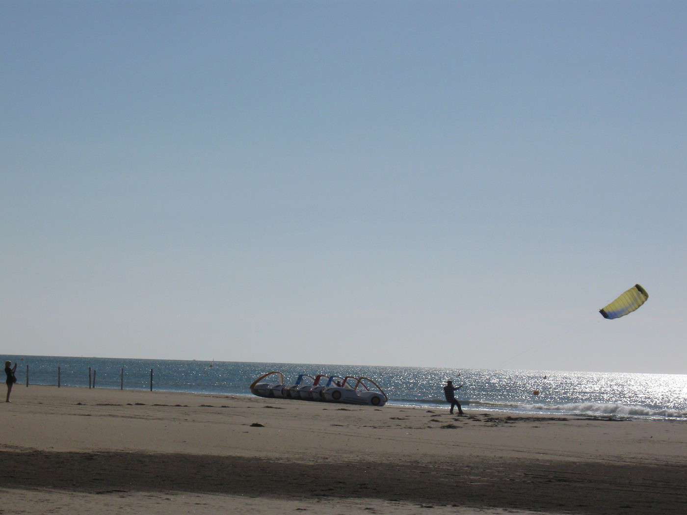
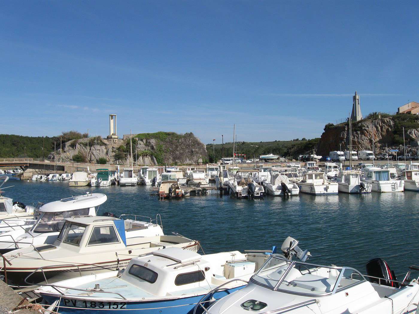
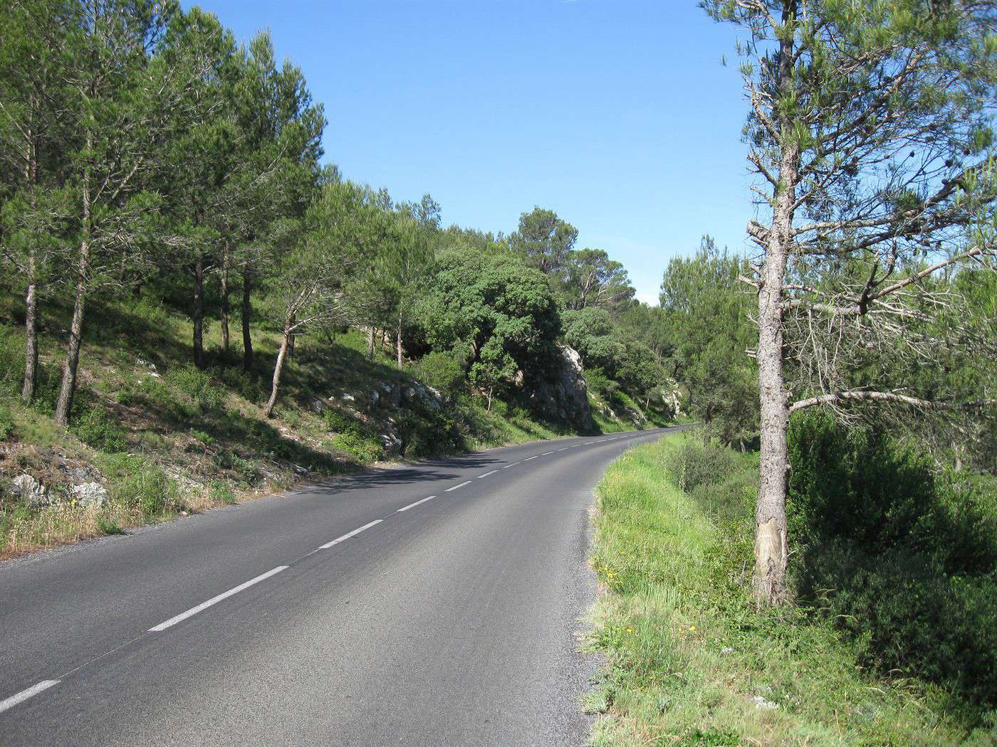
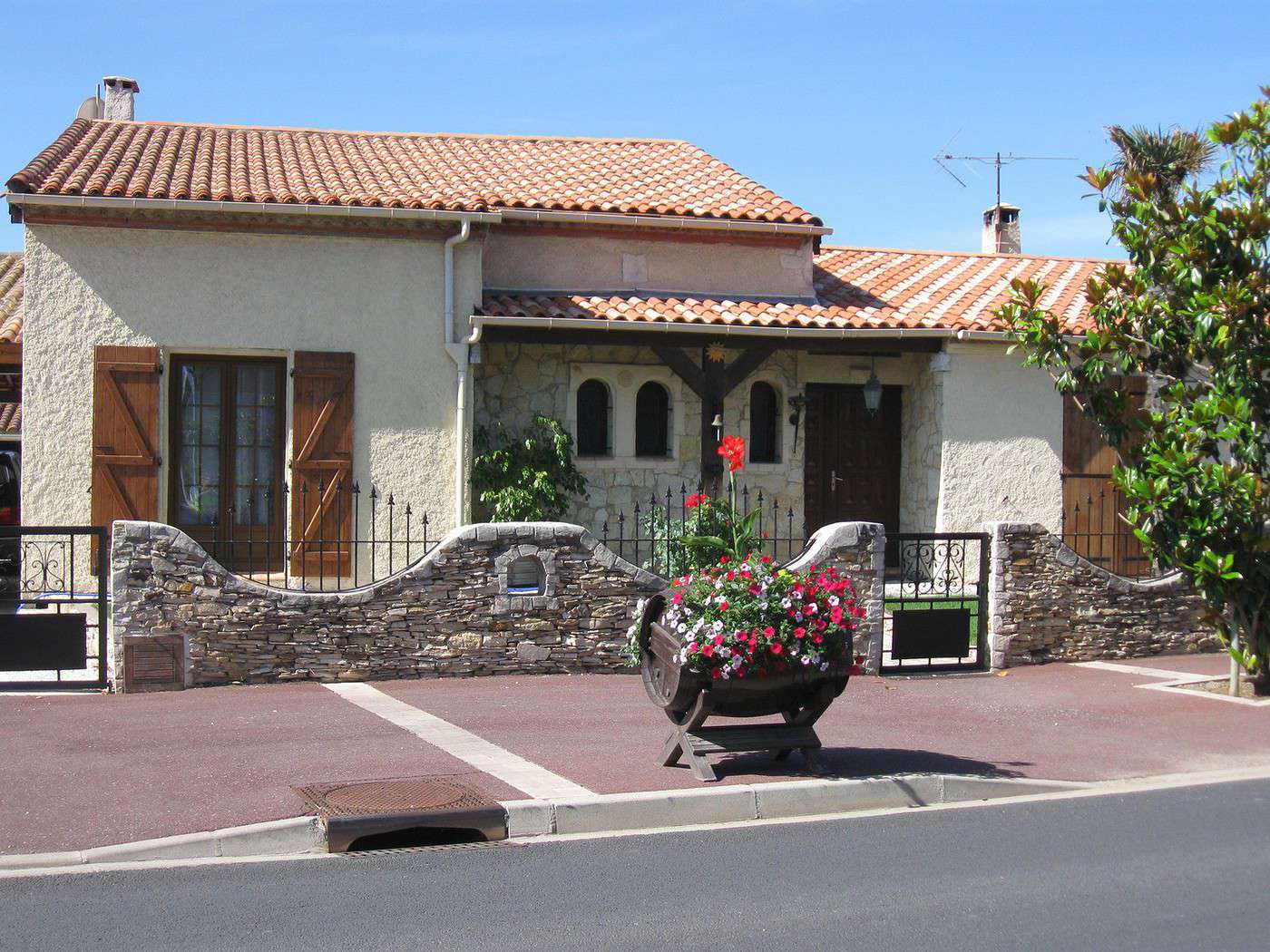
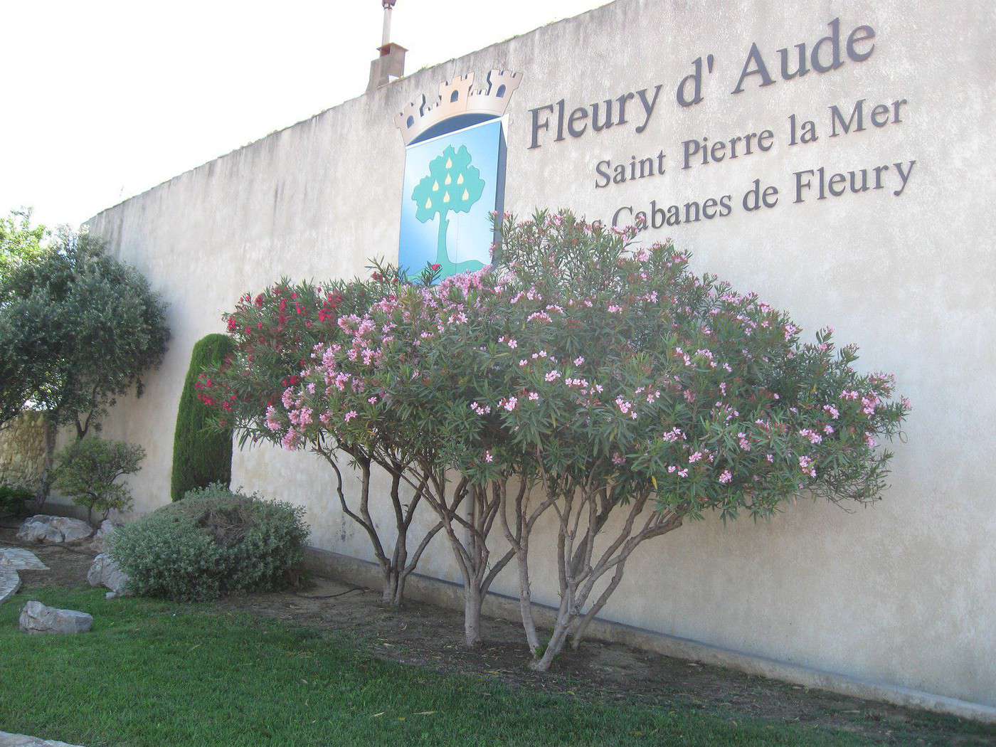
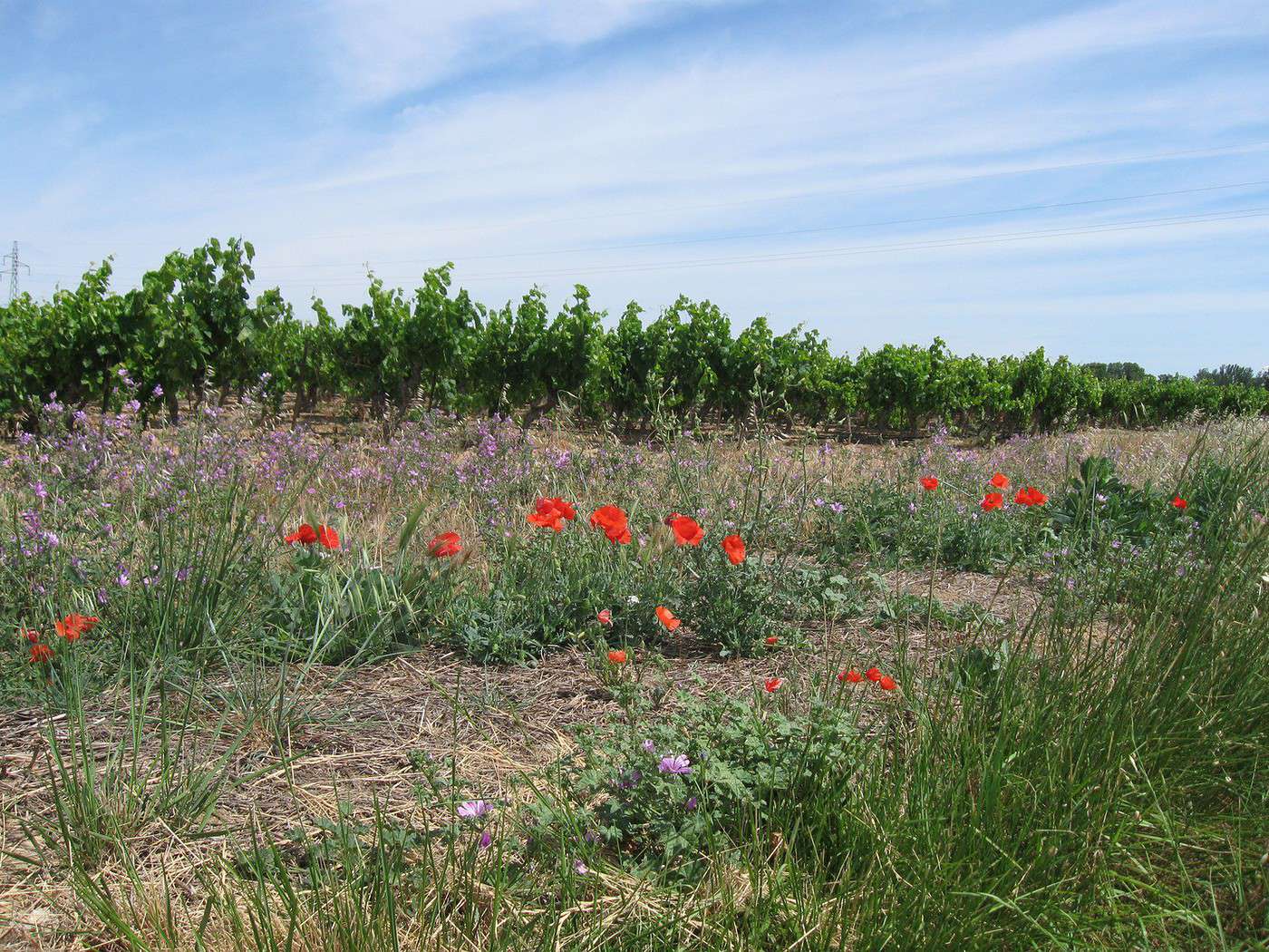
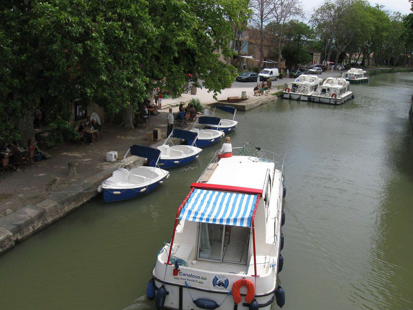
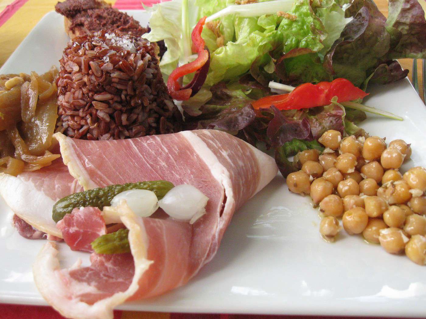
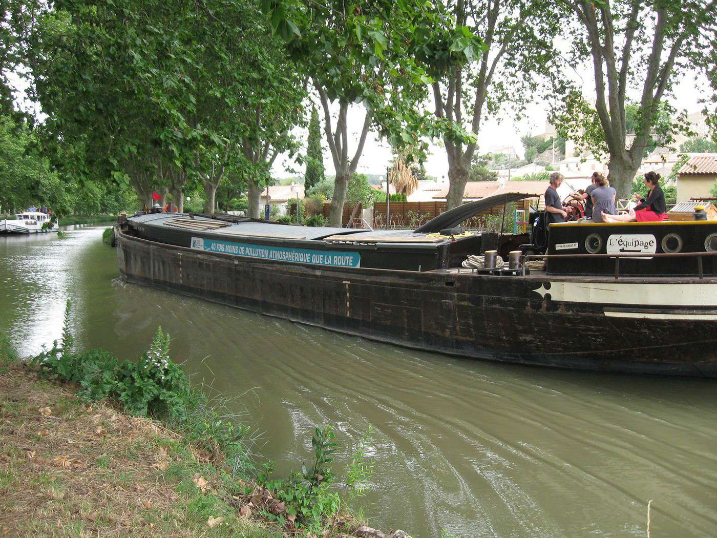
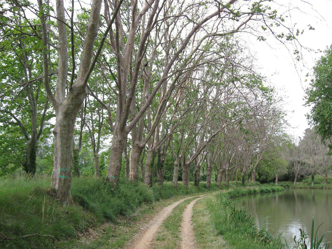
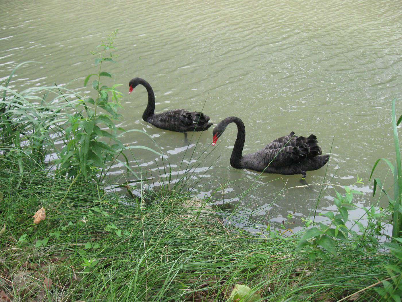
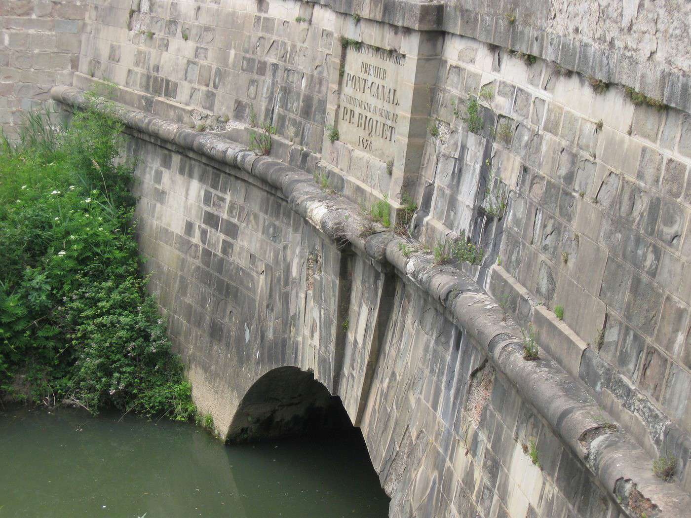
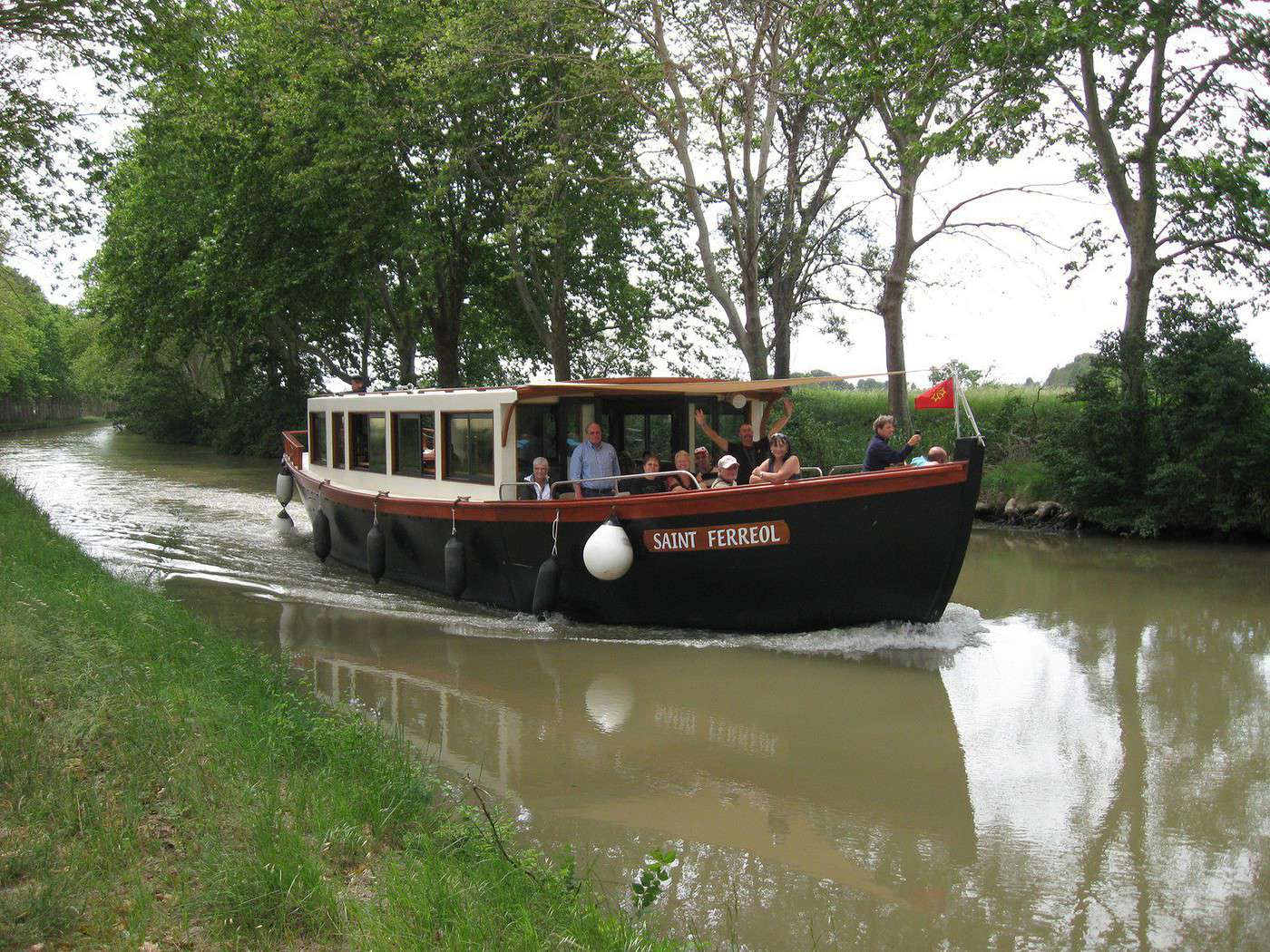
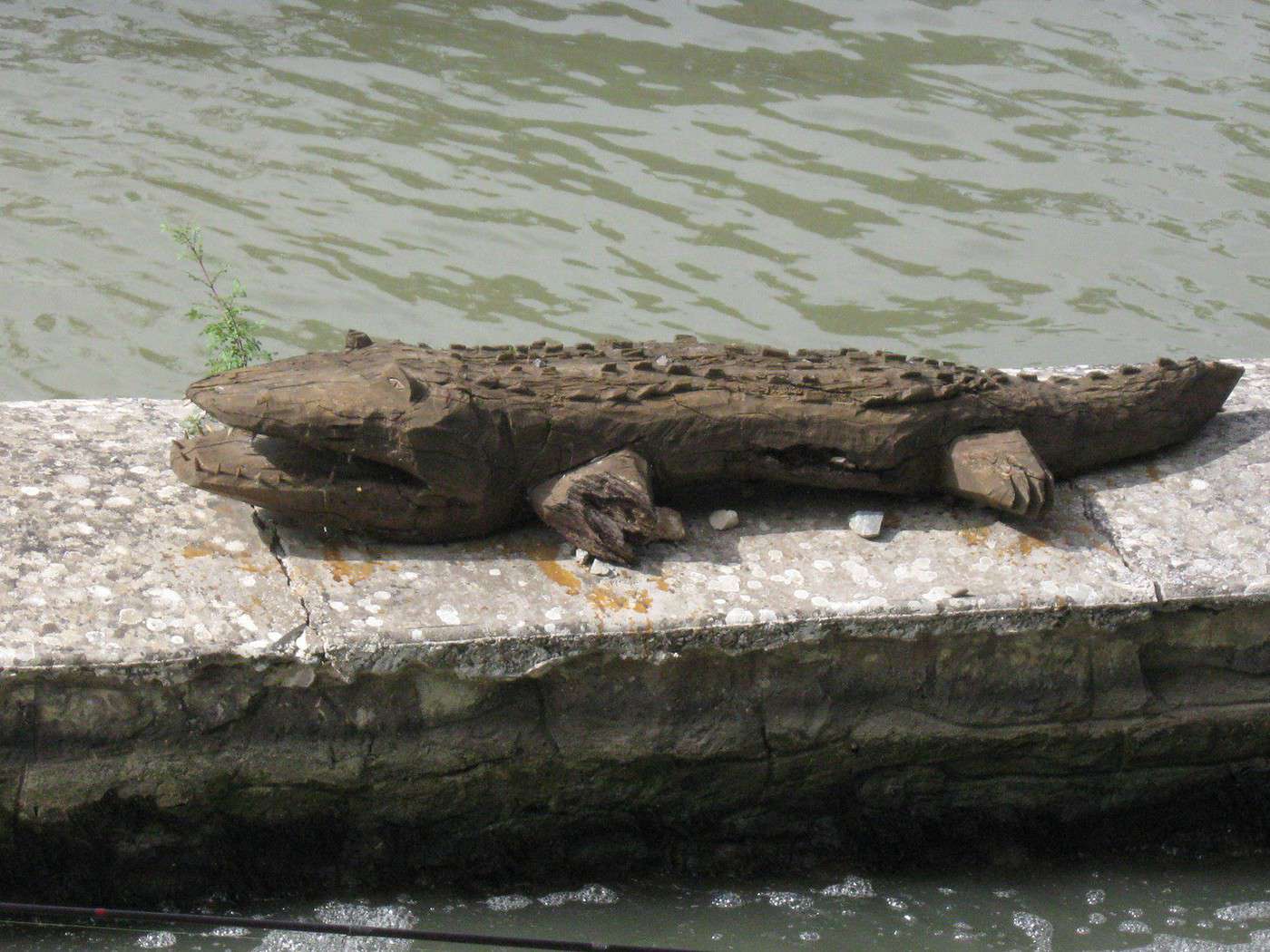
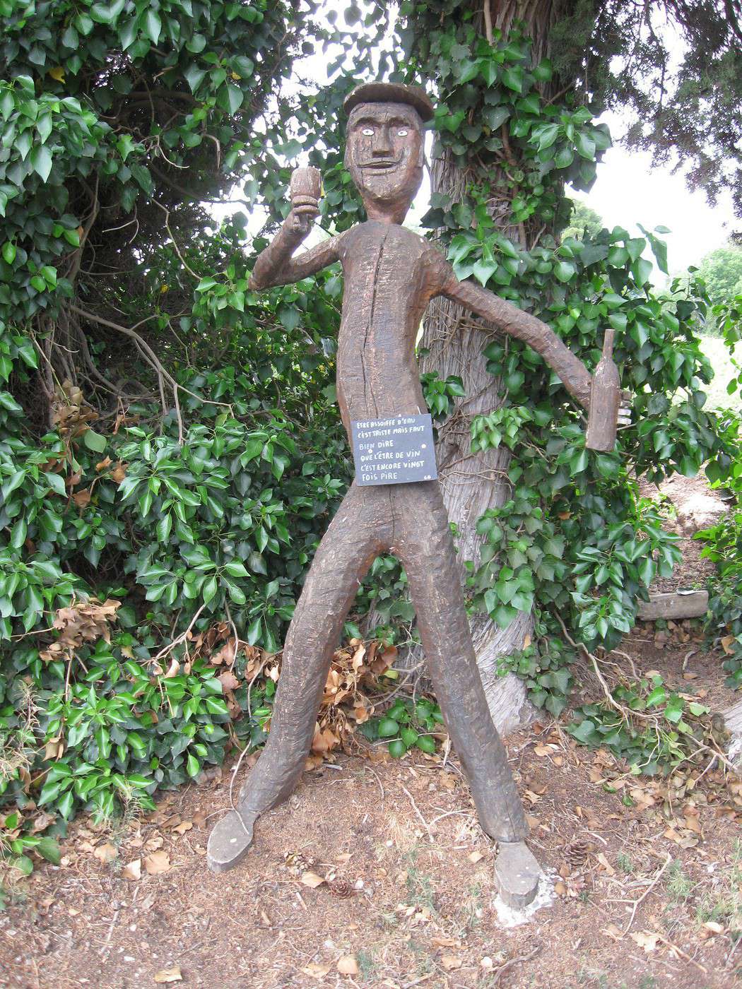
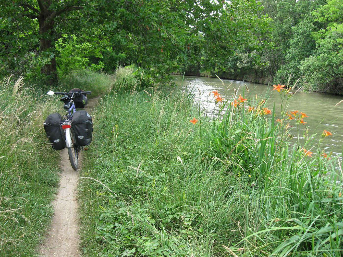
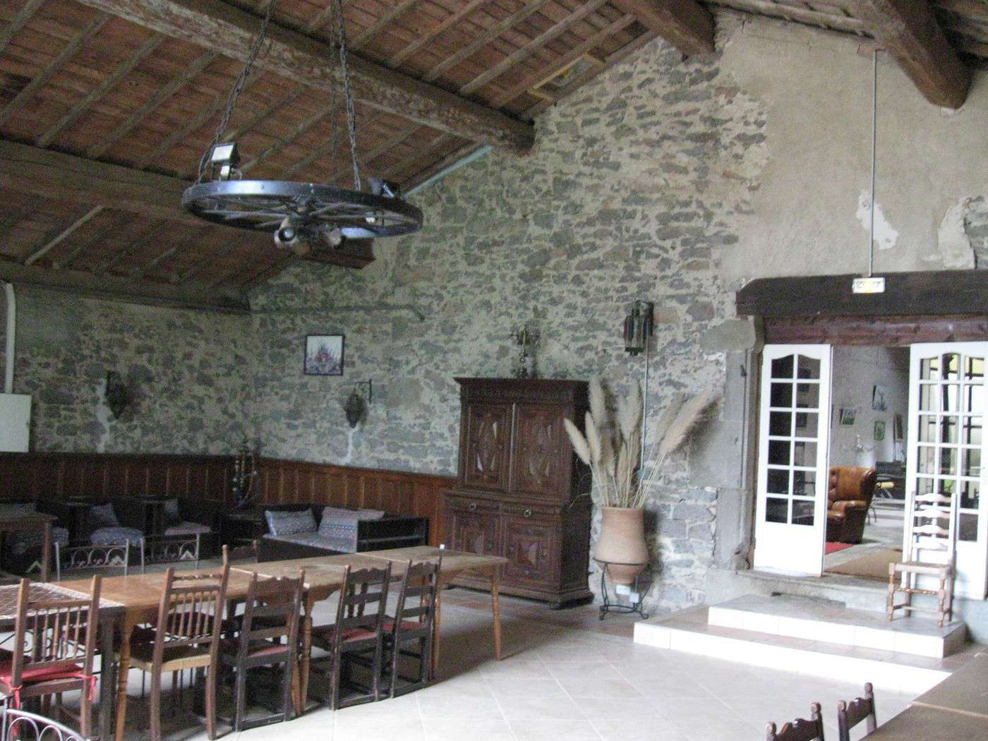
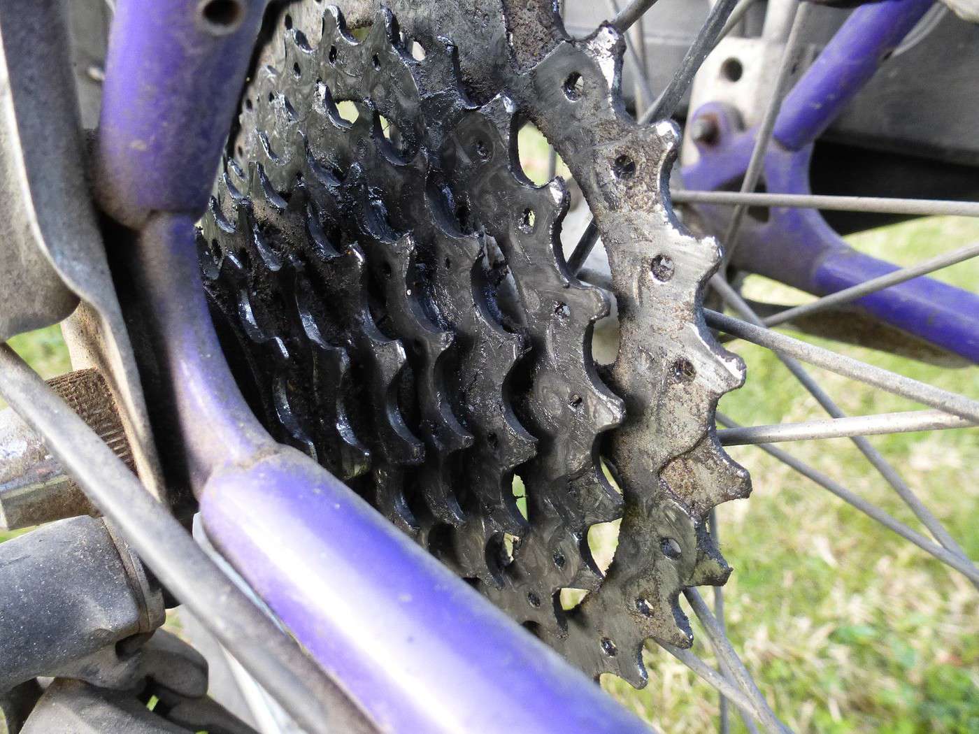

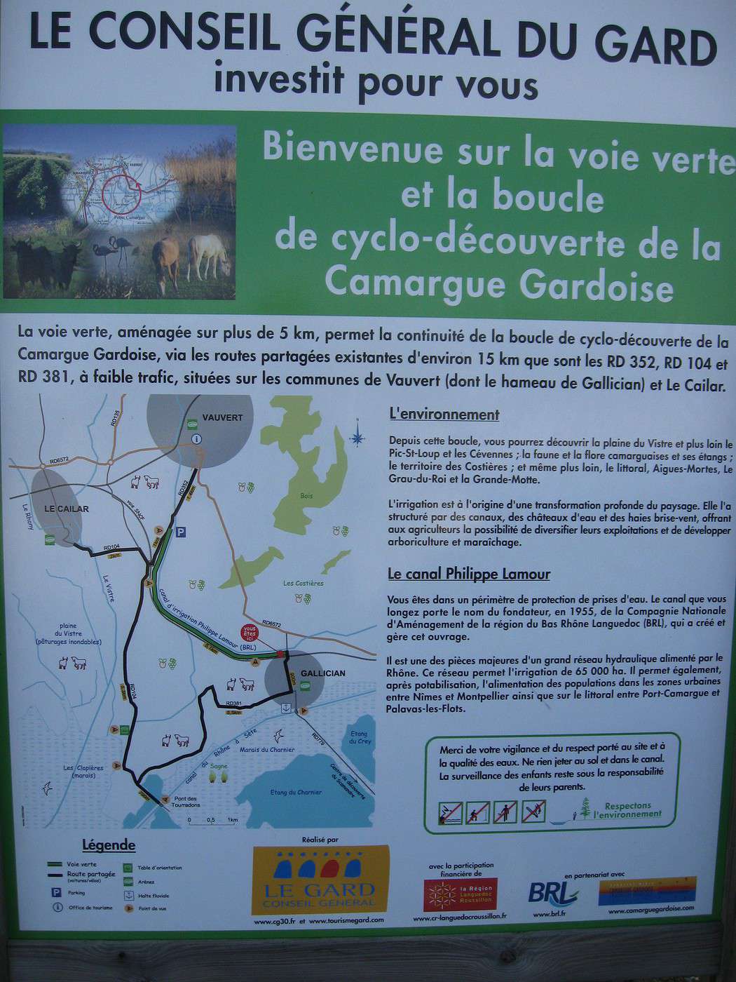
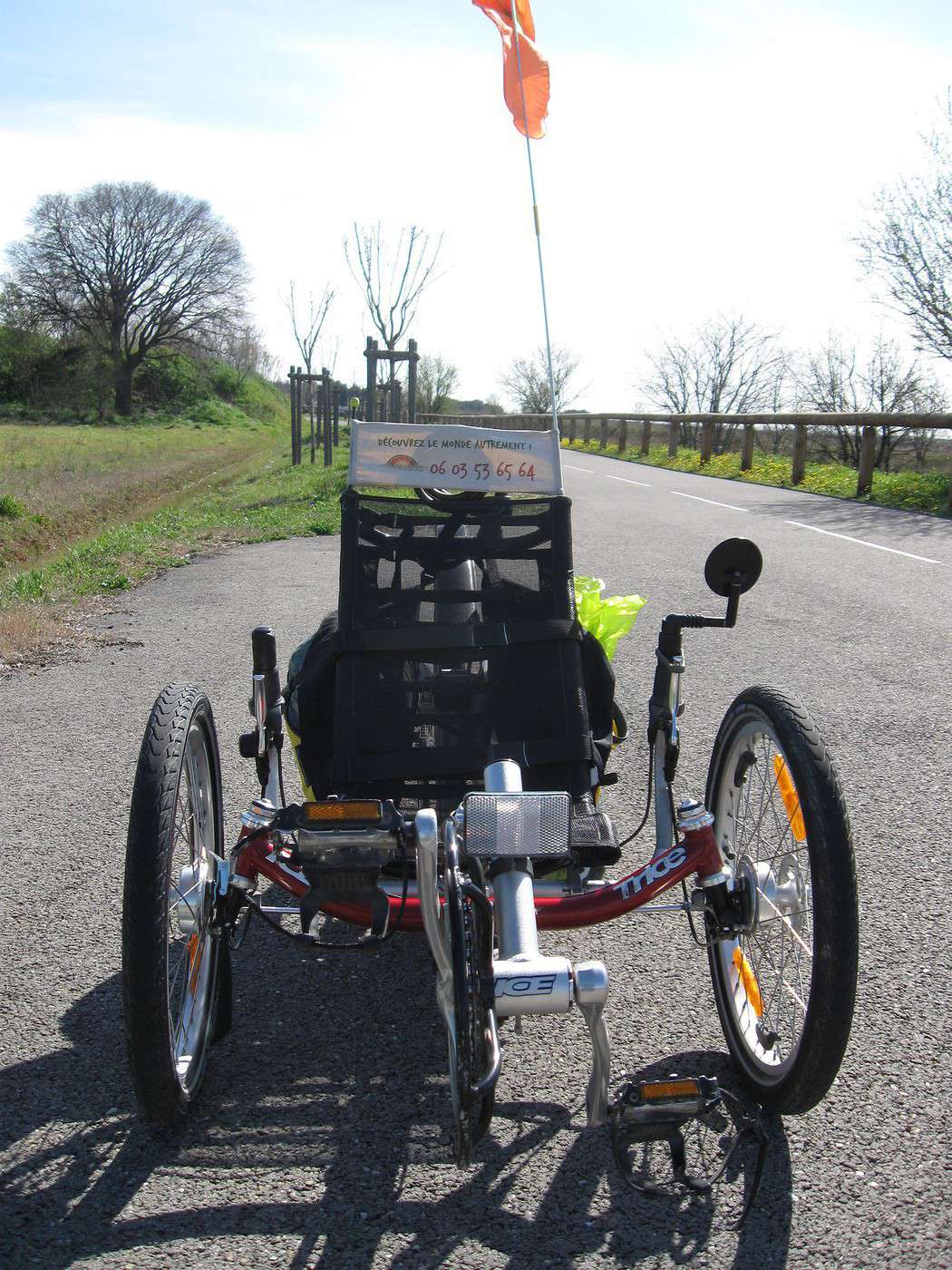
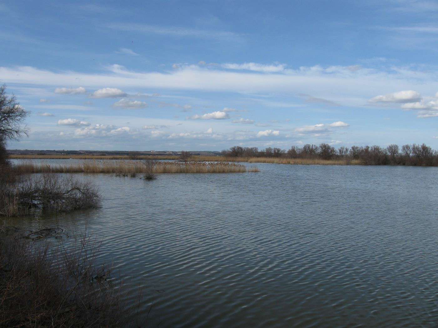
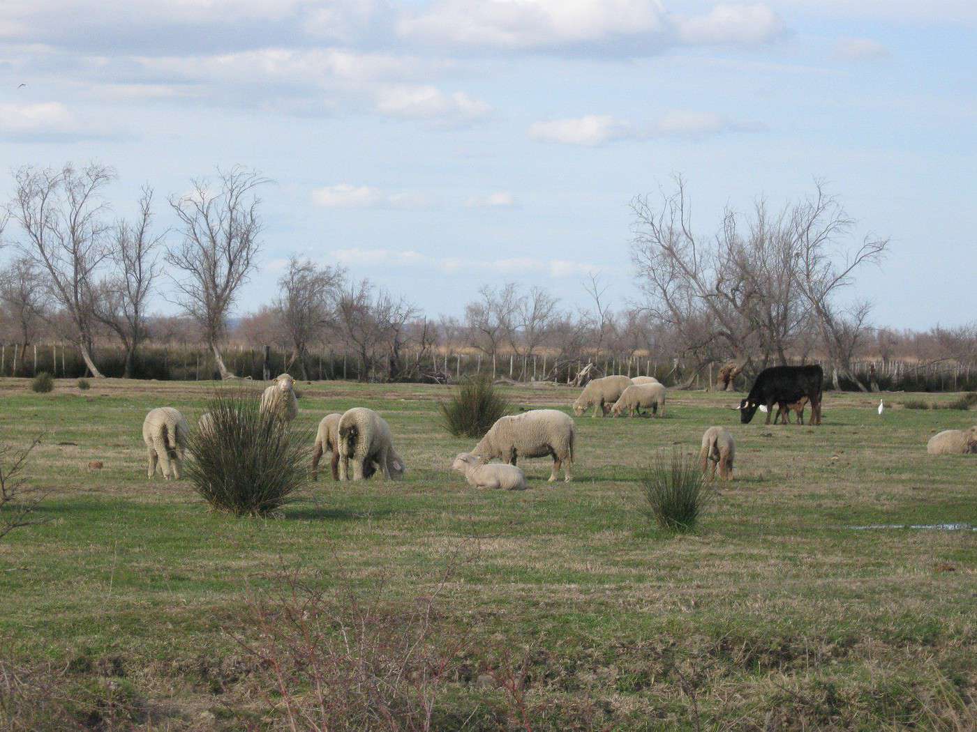
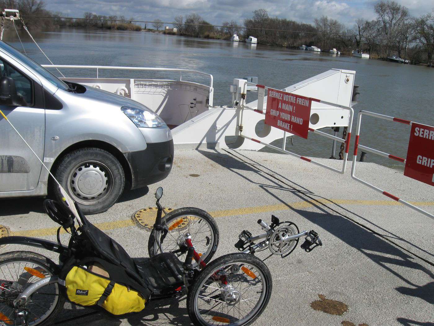
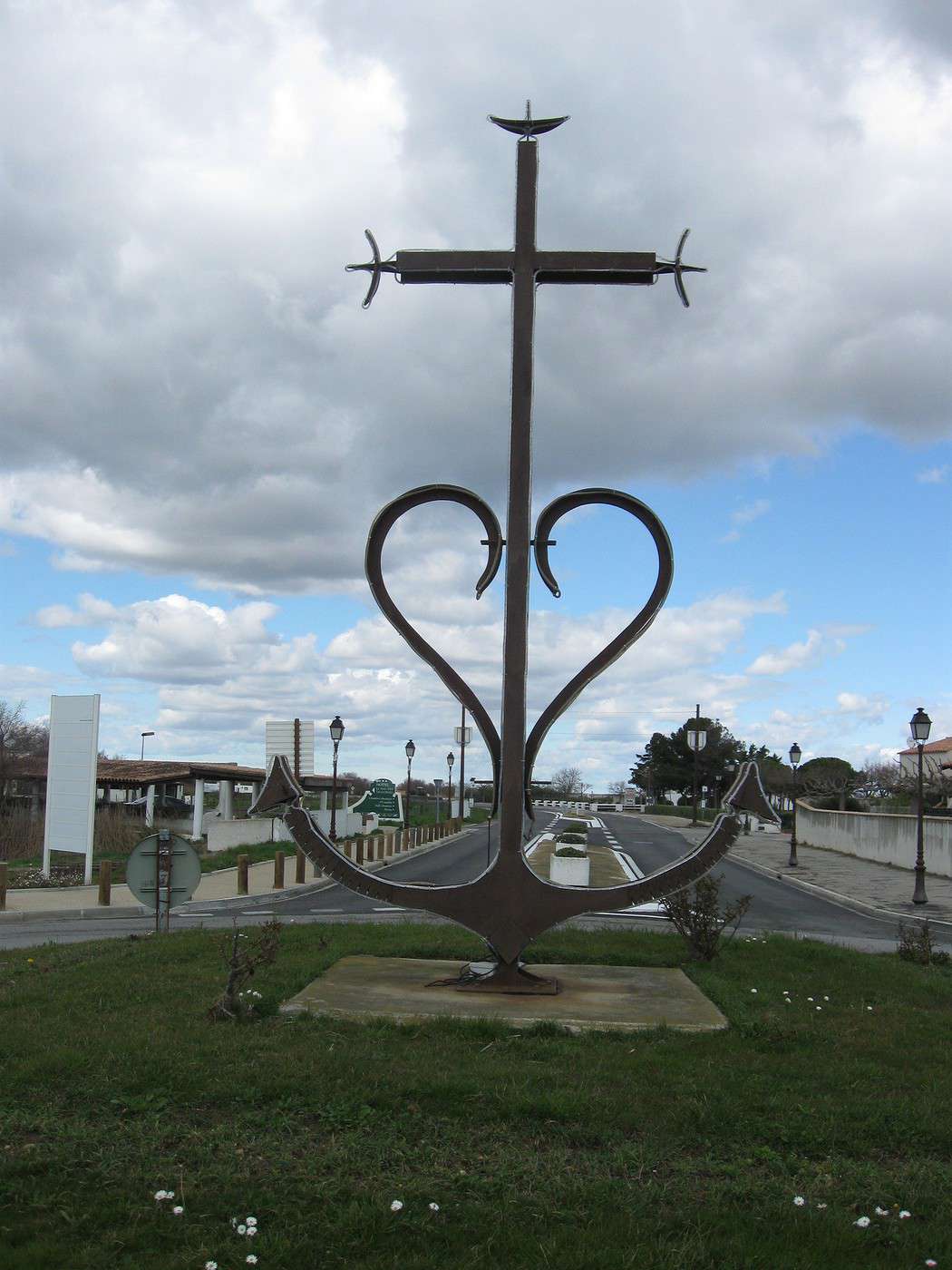
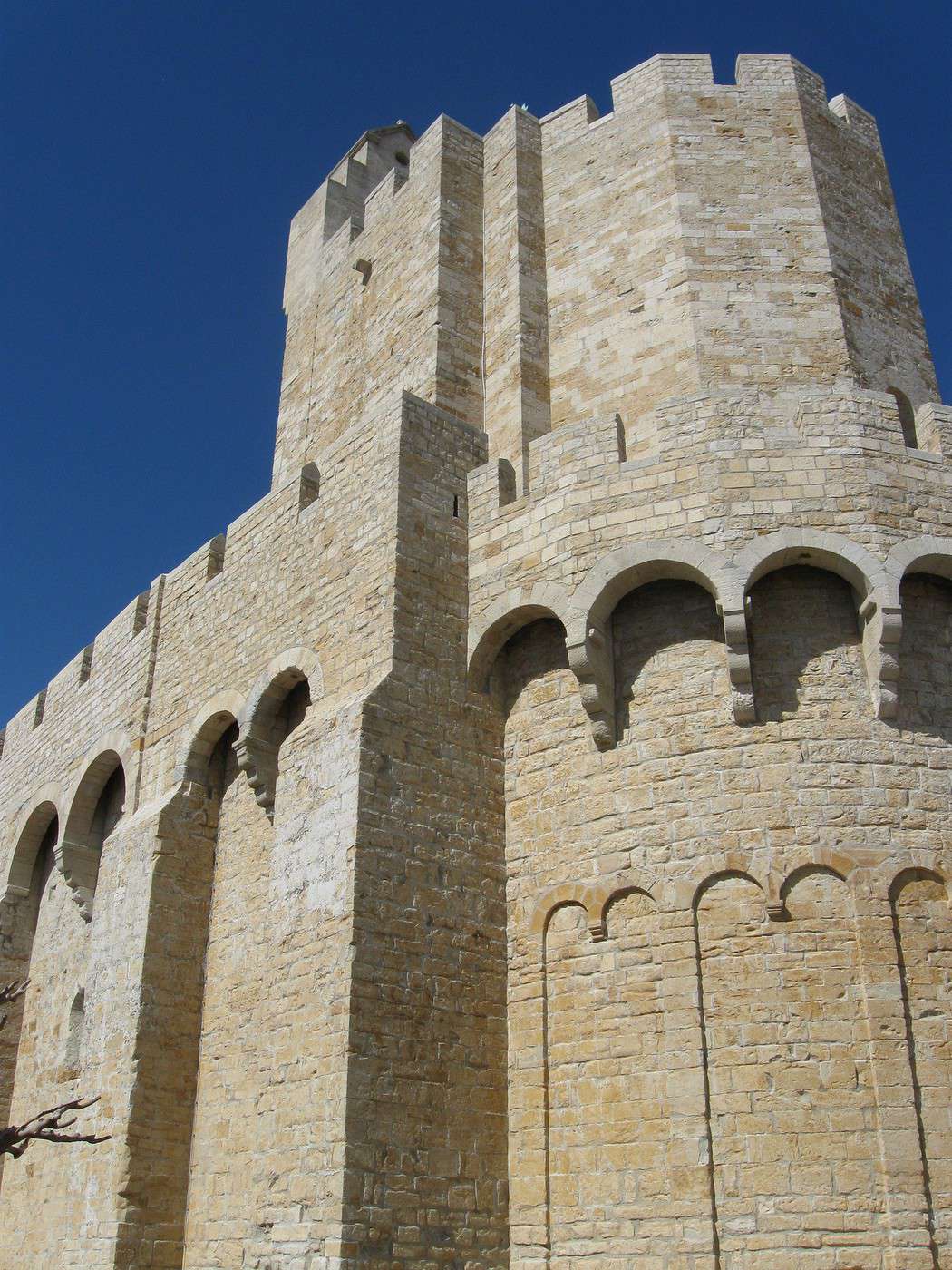
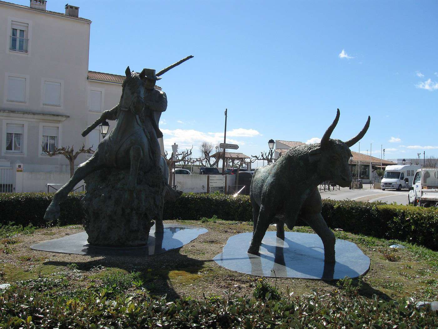
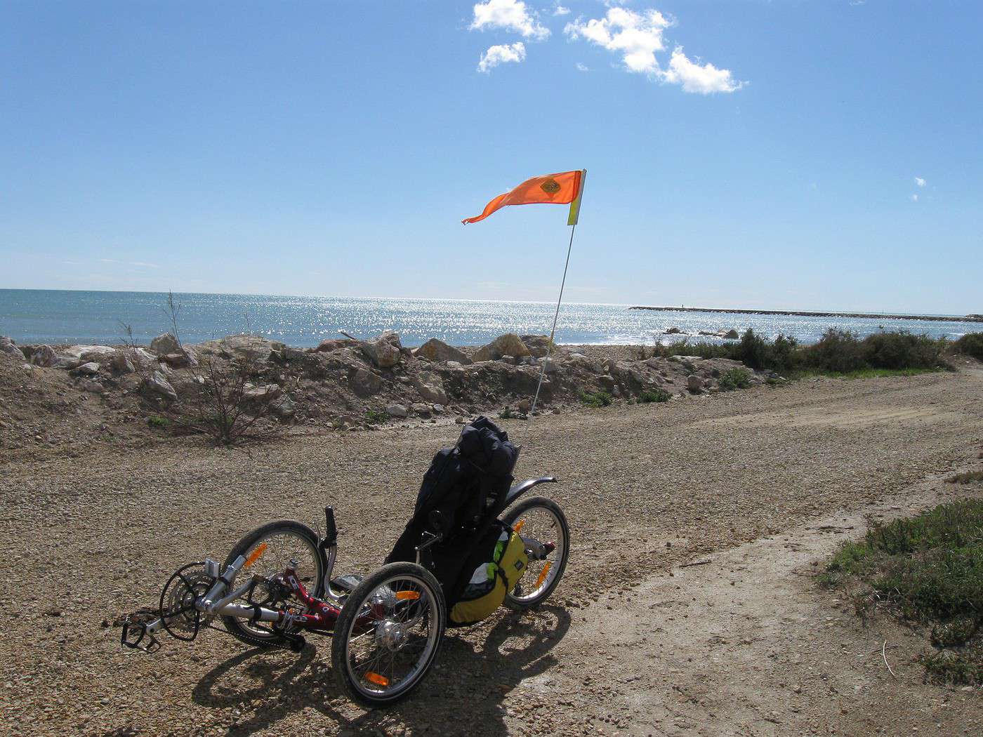
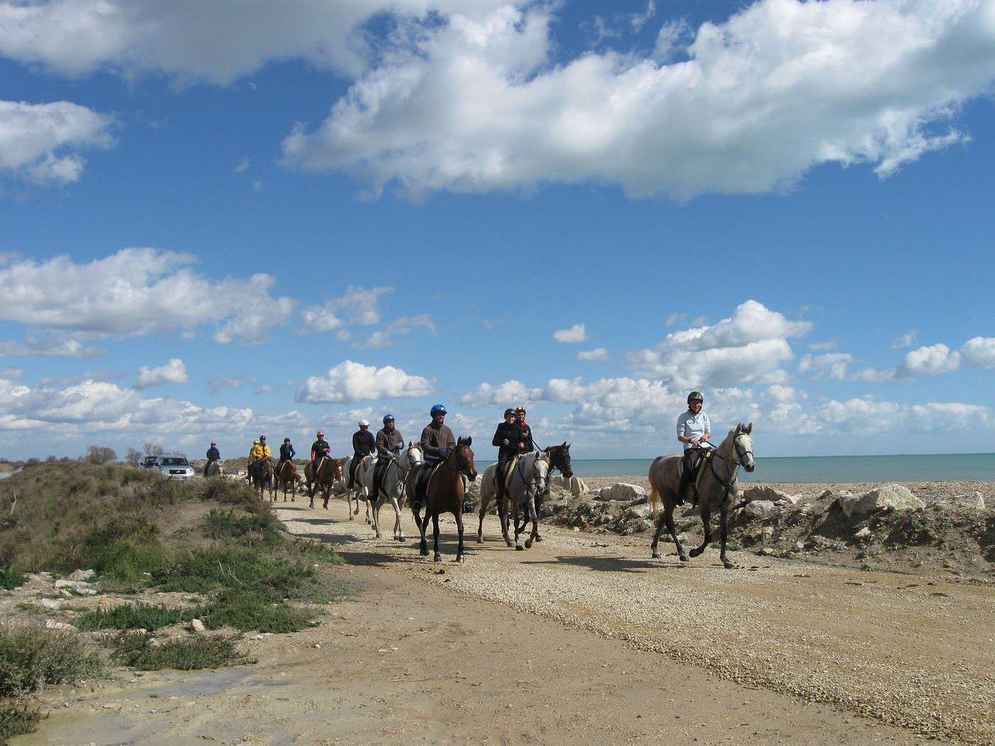
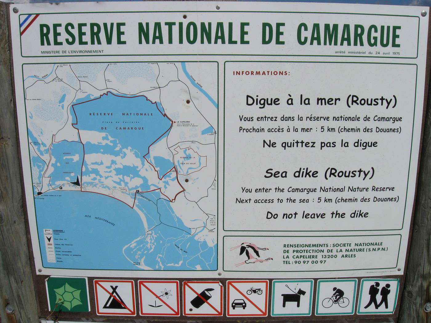
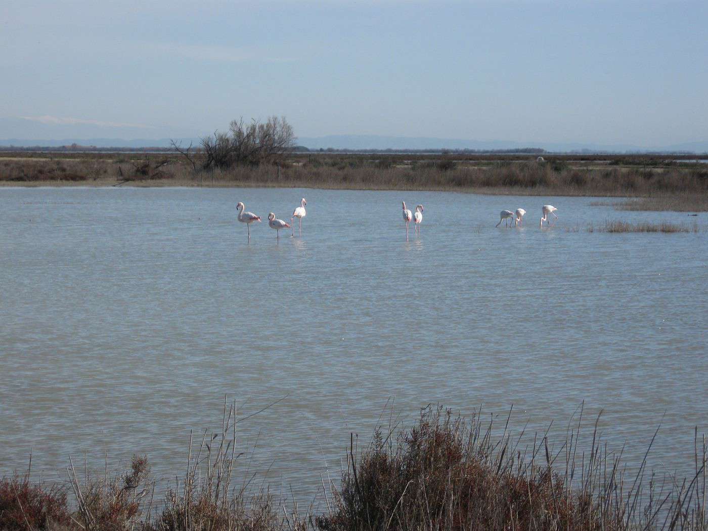
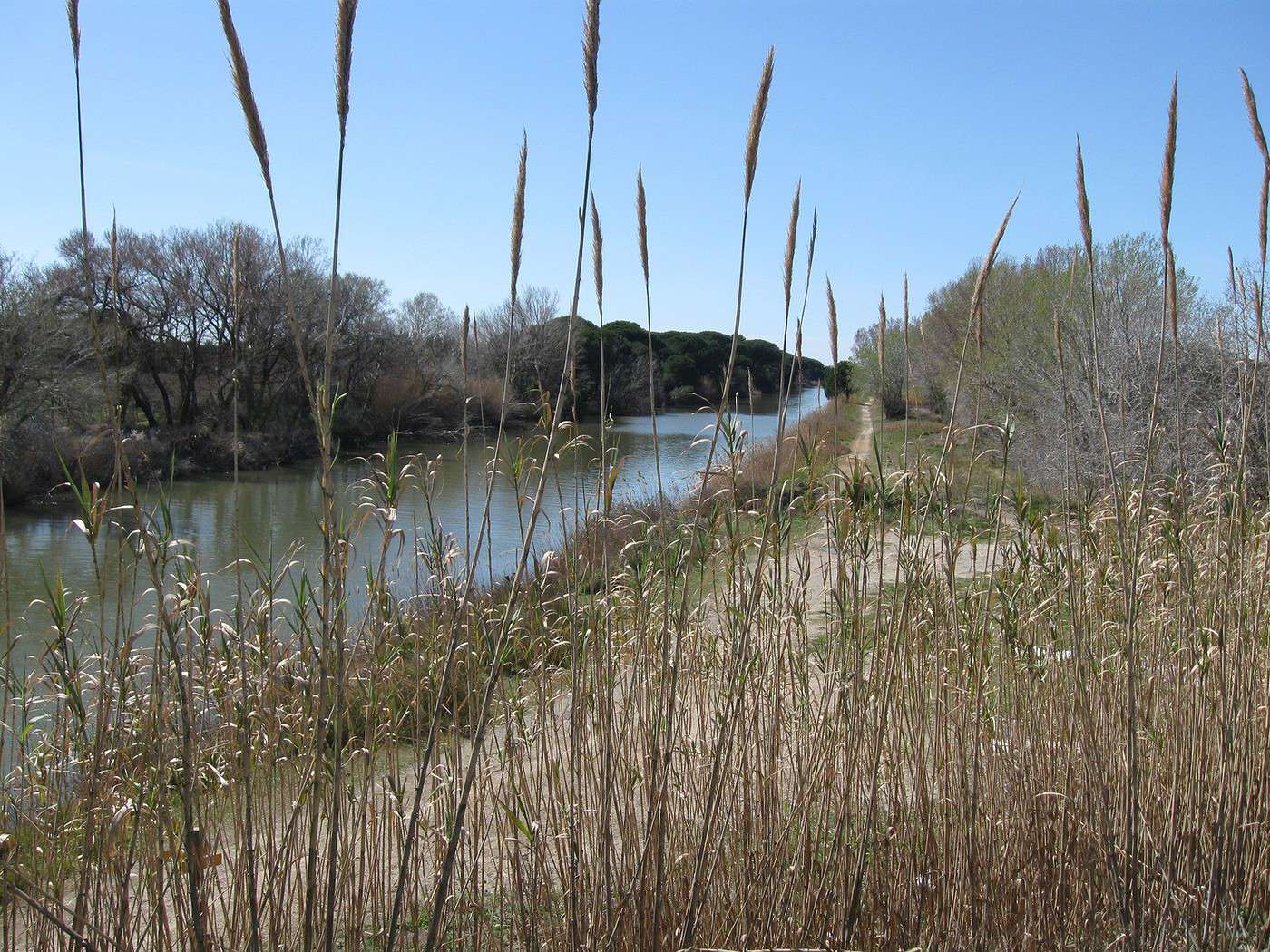
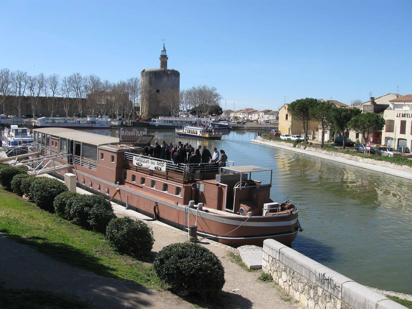
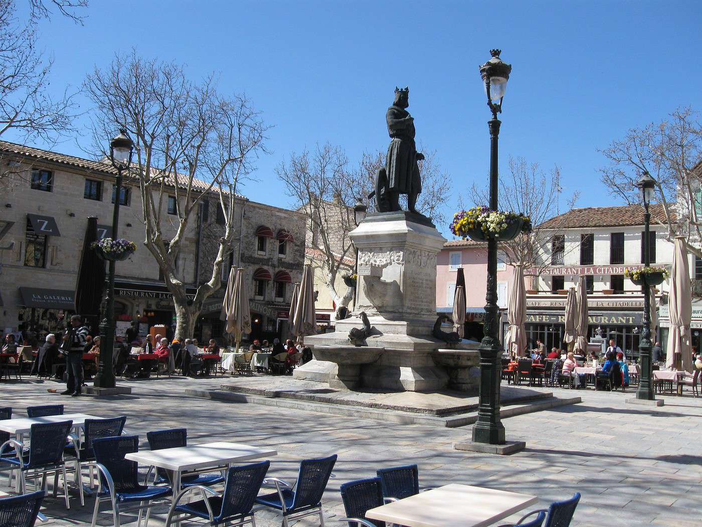
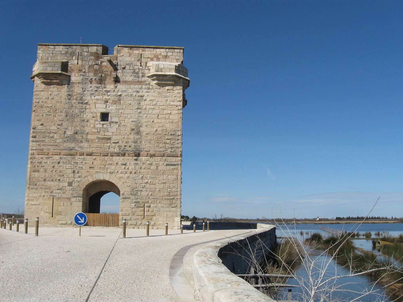
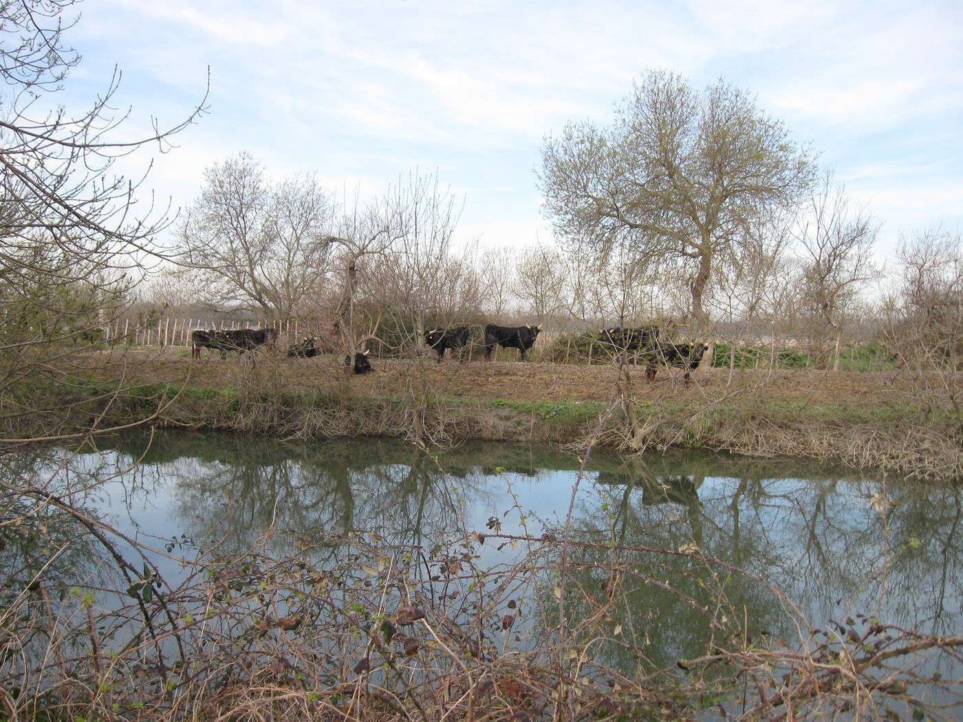
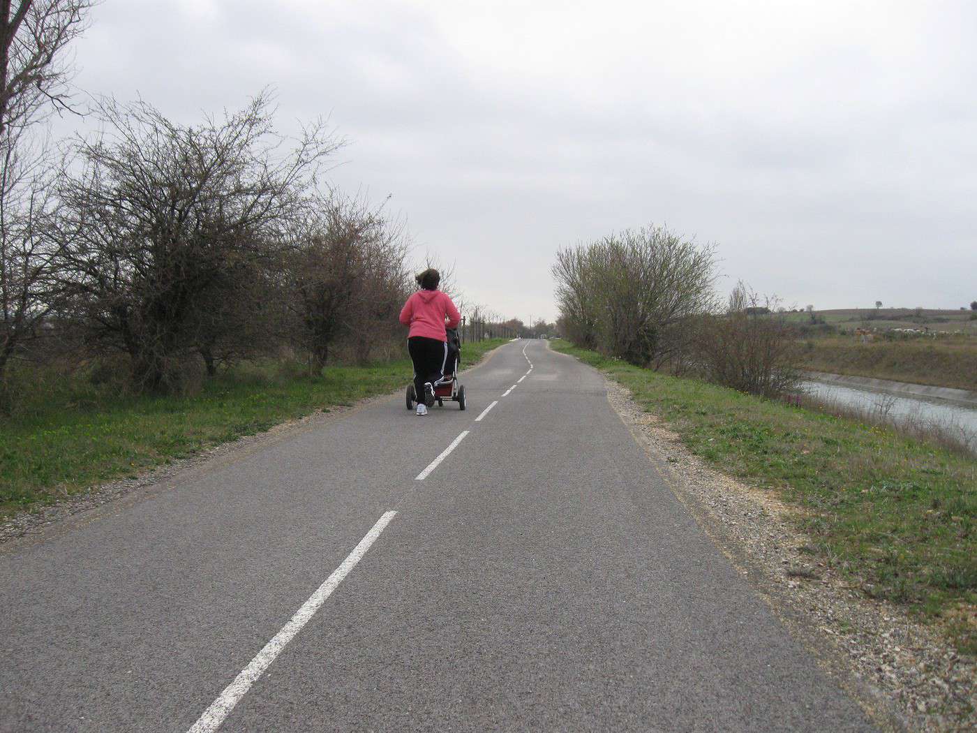
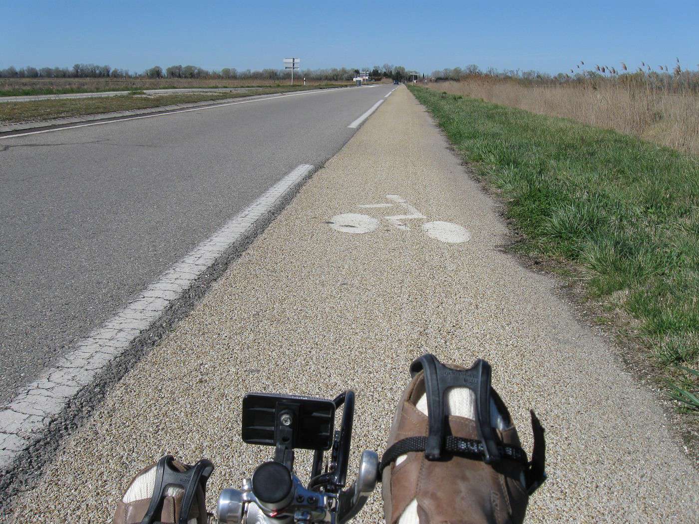
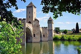
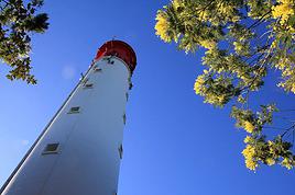
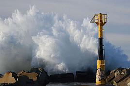
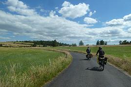
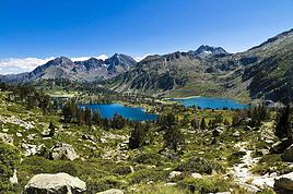

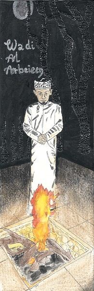
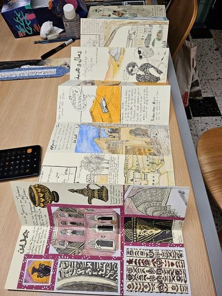
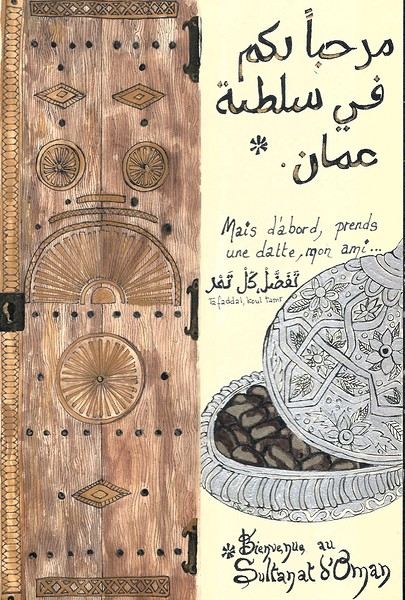 On the right, the "welcome marker"—those dates offered everywhere as a sign of hospitality. On the left, a tribute to those sublime doors worn by time, admired all over the old quarters, including the abandoned ones.
 Hospitality will often lead you to accept a small coffee, an "Omani coffee," very light, subtly flavored with cardamom, maybe a bit of saffron, and occasionally some rose water.
Here, I’ve depicted a man in the common everyday attire of Omanis: the dishdasha, mostly white (worn during the week and daytime, with colors more common in the evening or on Fridays and Saturdays). While you might see men dressed in Western clothes, they’re very few. The white dishdasha is truly the shared attire of all men. The dishdasha, which has no hood, is distinguished by a small tassel on the collar, the furakha, which is soaked in perfume. And believe me, Omanis go all out with it! "It smells like the tassel" is an expression that’s now part of our shared language, my husband and I.
Another must of men’s attire is the kuma, a small round head covering, usually white with brightly colored patterns. The keffiyeh is also worn (but without the cord called an agal in Arab countries), and it’s mostly worn by those with roots in the desert, from what I understood.
And what about the women, you might ask? Some are veiled, some in full black (but not the burka—more like the chador + abaya), due to the influence of Saudi Arabia and the United Arab Emirates, whereas the traditional outfit used to be a layering of very colorful dresses. Most of the women we saw wore neutral clothing, a plain veil over their hair, but with their faces uncovered. We also saw many saris and colorful veils—don’t forget that 40% of the population consists of Indian, Nepalese, and Bangladeshi immigrants, who work a lot in tourism, hospitality, restaurants, services, and construction.
Just to clarify, as a tourist, there’s no pressure to wear a veil, and never any disapproving looks. Of course, you’ll save the mini shorts, plunging necklines, and bare shoulders and midriffs for the hotel terrace, but I’d say that’s the same for men and women, and with the sun being strong, it’s better for your skin too.
Here’s the intro! In the next post, I’ll tell you about my itinerary, and we can dive in!
Hospitality will often lead you to accept a small coffee, an "Omani coffee," very light, subtly flavored with cardamom, maybe a bit of saffron, and occasionally some rose water.
Here, I’ve depicted a man in the common everyday attire of Omanis: the dishdasha, mostly white (worn during the week and daytime, with colors more common in the evening or on Fridays and Saturdays). While you might see men dressed in Western clothes, they’re very few. The white dishdasha is truly the shared attire of all men. The dishdasha, which has no hood, is distinguished by a small tassel on the collar, the furakha, which is soaked in perfume. And believe me, Omanis go all out with it! "It smells like the tassel" is an expression that’s now part of our shared language, my husband and I.
Another must of men’s attire is the kuma, a small round head covering, usually white with brightly colored patterns. The keffiyeh is also worn (but without the cord called an agal in Arab countries), and it’s mostly worn by those with roots in the desert, from what I understood.
And what about the women, you might ask? Some are veiled, some in full black (but not the burka—more like the chador + abaya), due to the influence of Saudi Arabia and the United Arab Emirates, whereas the traditional outfit used to be a layering of very colorful dresses. Most of the women we saw wore neutral clothing, a plain veil over their hair, but with their faces uncovered. We also saw many saris and colorful veils—don’t forget that 40% of the population consists of Indian, Nepalese, and Bangladeshi immigrants, who work a lot in tourism, hospitality, restaurants, services, and construction.
Just to clarify, as a tourist, there’s no pressure to wear a veil, and never any disapproving looks. Of course, you’ll save the mini shorts, plunging necklines, and bare shoulders and midriffs for the hotel terrace, but I’d say that’s the same for men and women, and with the sun being strong, it’s better for your skin too.
Here’s the intro! In the next post, I’ll tell you about my itinerary, and we can dive in!



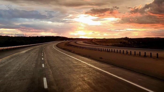


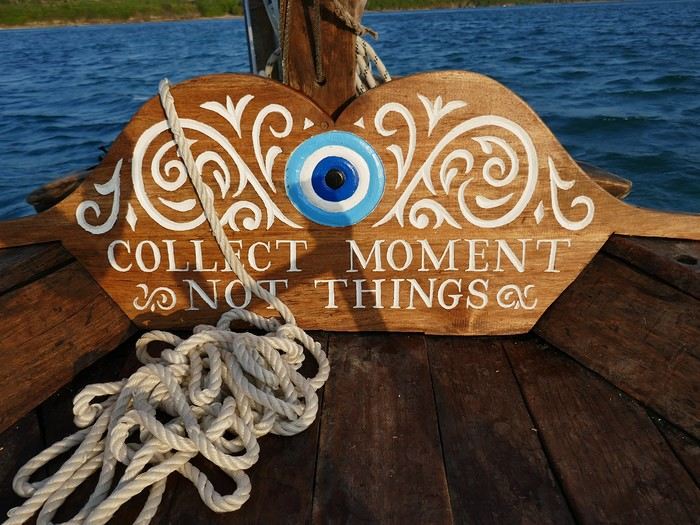

 Come along, I'm taking you to this country where it's so nice to wander and slow down...

 I’m inviting you on a stroll through my drawings—a completely subjective, far from exhaustive, and totally personal take, since it’s based on my own sketches. I put this travel journal together after returning in late 2024, mostly using felt-tip pens and pencils, with a few collages thrown in. I worked from our personal photos.
 And in Kyoto, Nishiki Market:

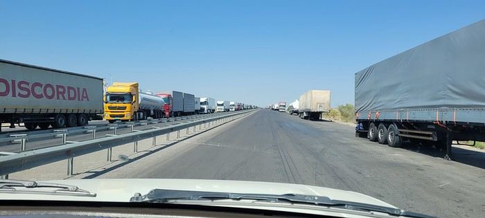
 Roundabouts are particularly interesting because they feature emblems of Turkmen culture, like the dog, a carpet, the Ahal Teke horse, or Muslim symbols, even though the presence of Islamic artifacts is quite limited.

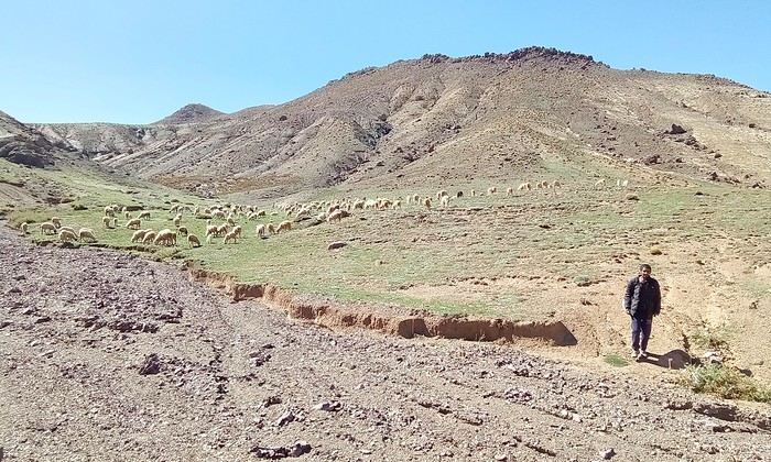
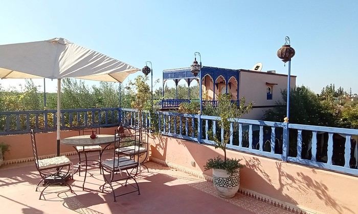
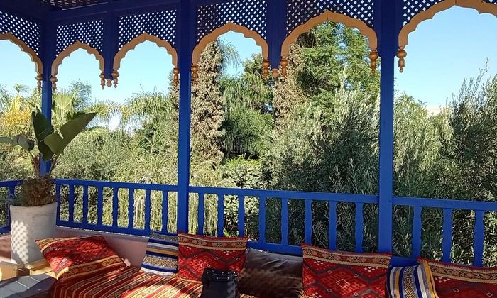 Last October, we landed in Marrakech to spend a few days with family exploring Morocco’s roads.
Transport: a rented Dacia.
Accommodations: small guesthouses.
Last October, we landed in Marrakech to spend a few days with family exploring Morocco’s roads.
Transport: a rented Dacia.
Accommodations: small guesthouses.
 The large solidified magma massifs that shape the heart of the island have created a large depression more protected from the sun at its center, allowing the growth of a vast laurel forest, today grouped within the Garajonay National Park, La Gomera’s green lung, which has earned it the status of a World Biosphere Reserve. Its completely European appearance contrasts sharply with the rocky and tropical landscapes of the rest of the island. Thus, the climate varies greatly from one point to another on the island: in summer, you can quickly go from a dry and sunny valley at 35°C to a humid forest area at altitude at 18°C.

 A little sneak peek?









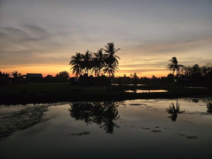
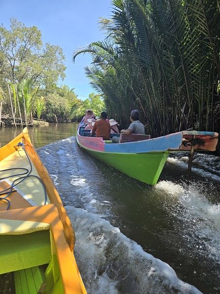 The karst site:
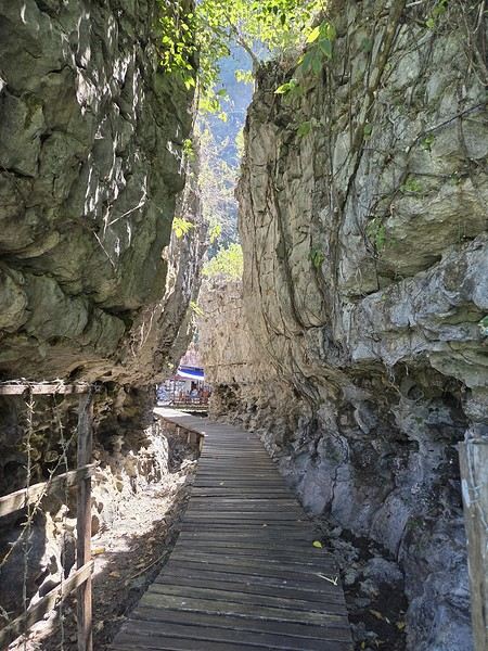
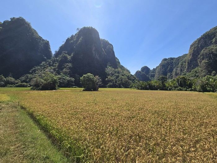
 (In the heart of Albergheria, on a street every visitor walks down—lovely message from an unidentified artist)






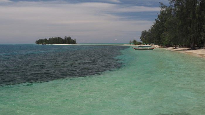
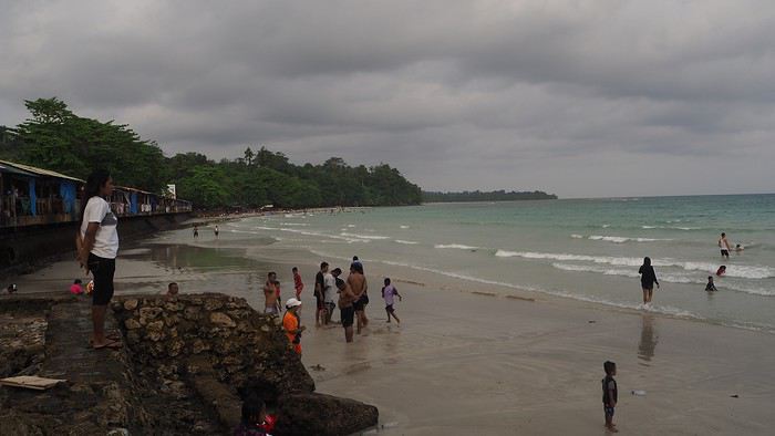
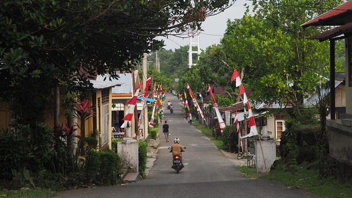
 Laundry and trucks washed in the same stream.
 We’re greeted dozens of times with “Hello Mister”—a daily routine in the Moluccas. Every time we stop, we pose for photos to be saved on locals’ smartphones. They don’t see tourists often.