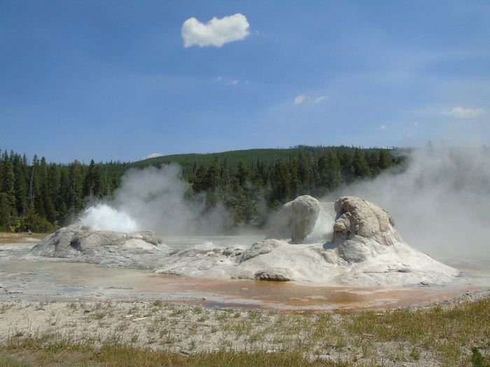
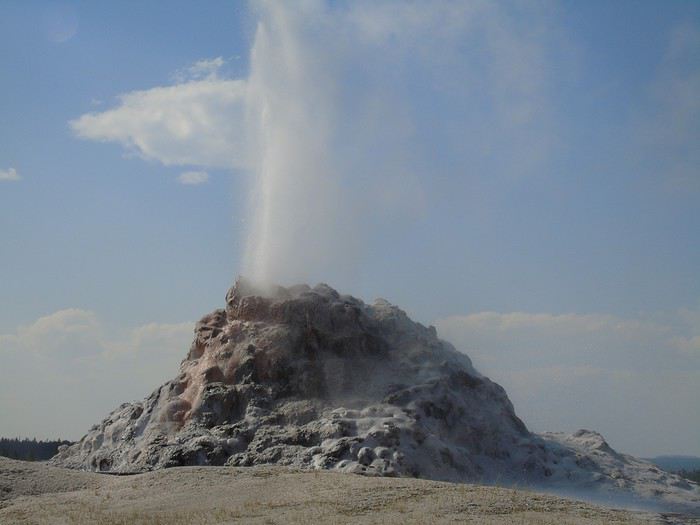
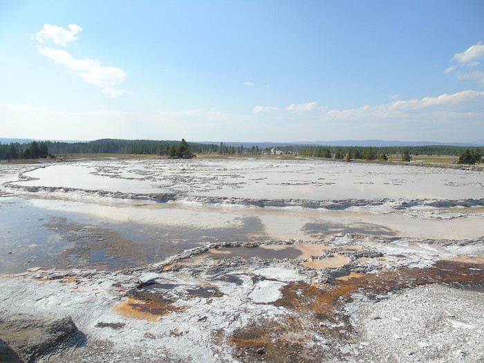
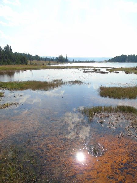
I’m diving into a recap of our loop—pretty classic, really—Denver-Yellowstone-Denver this past summer, from July 24 to August 17. Given the sheer number of trip reports already out there (or in the works), and since I don’t have the writing chops or the photography skills of many of you, I’ll keep it practical—well, I’ll try, at least—to share our take on some of the less-visited parks and spots.
First off, a huge thank you to everyone whose trip reports, blogs, websites, comments, and more helped us put together this itinerary. Looking back, it could’ve been even better optimized: a few disappointments when we missed out on some great discoveries, often because we were short on time. Plenty of reasons to come back to the area!
We’re traveling with our four (almost) teens—18, 16, 14, and nearly 12 years old. To keep the trip enjoyable for everyone, we had to make compromises on both sides: cutting a visit short to spend more time swimming, waking up at dawn, and so on. But logistics also played a big role—things like laundry, grocery shopping, and keeping luggage organized could’ve quickly become time-consuming without a little planning.
And honestly, I think we visited every Walmart along the way! Blame it on the lack of fridges in some accommodations and, more importantly, the *very* limited space in the car, which made it impossible to bring a proper cooler. I’ll come back to the car saga later.
For accommodations, this year we alternated between basic cabins in KOA campgrounds and Yellowstone (when staying more than one night in the same place) and hotels. Always with a pool (except in Yellowstone, of course), which let the kids burn off energy—because they always have reserves, even after packed days!—and, let’s be honest, gave us a chance to relax. No Wi-Fi issues either; we all had plans with 25 GB of data (a big thanks to Gilles for the amazing deal at 0.99 €). It worked perfectly, even for texts and calls between phones—no extra charges.
Now, onto our route: as I mentioned, a classic Denver-Yellowstone-Denver loop. To avoid rushing through the parks or spending all our time on the road, we prioritized staying as close to them as possible, with at least two nights in each place. And I’ve got to say, it’s really nice to settle in, even if it’s just for two nights. It also helped us deal with the weather, which wasn’t always great during this trip. The trade-off? With vacation time being limited, some driving days ended up being long. We knew that going in, but since we kept a relaxed pace with no time constraints (don’t ask me for timings—I don’t keep track of the clock on vacation, except in the morning to get everyone up before noon!), we sometimes ended up with marathon days.
With that said, I’ll dive into the trip itself in the next post.
Our itinerary:
Day 1: Frontier Days Cheyenne
Day 2: Cheyenne + Guernsey Ruts + Fort Laramie
Day 3: Scottsbluff NM + Carhenge
Day 4: Badlands NP
Day 5: Badlands NP + Stavkirke (Rapid City) + Fort Hays + Custer SP
Day 6: Custer SP
Day 7: Deadwood + Belle Fourche + Devils Tower
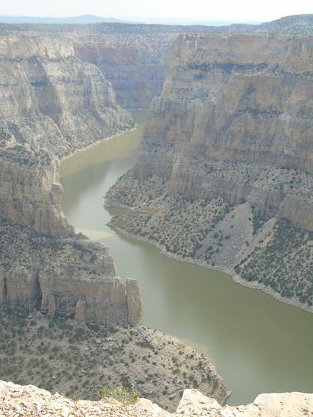
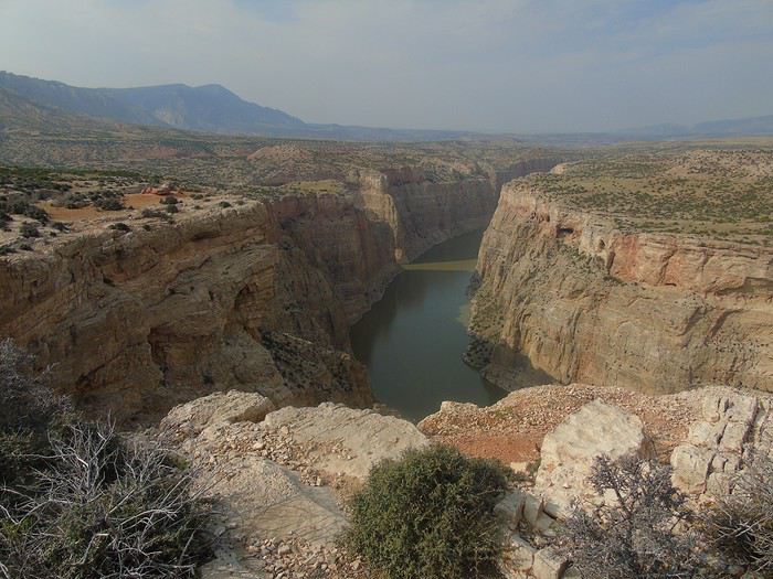
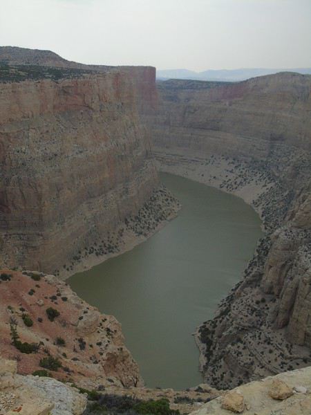
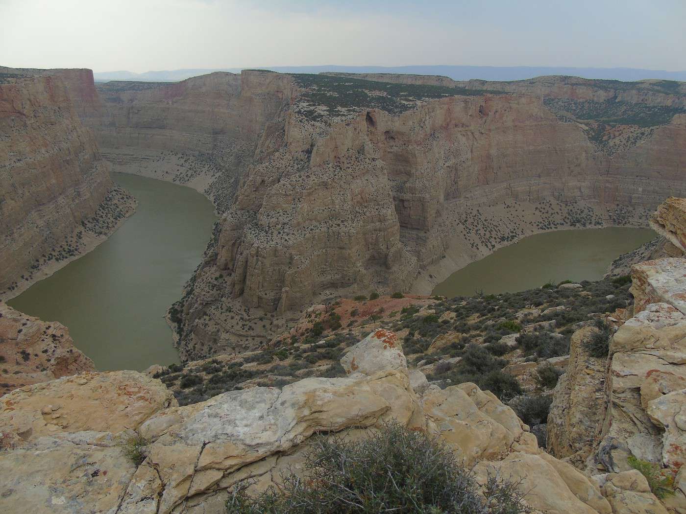
Day 8: Medicine Wheel (Bighorn Mountains) + Bighorn Canyon
Day 9: Cody
Days 10 to 16: Yellowstone
Day 17: Grand Teton
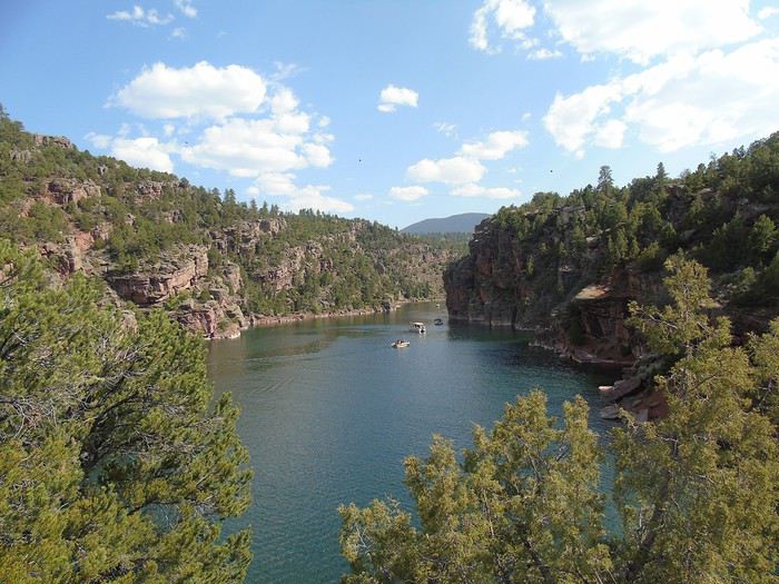
Day 18: Flaming Gorge
Day 19: Dinosaur NM + Fantasy Canyon
Day 20: Dinosaur NM + Colorado NM
Day 21: Black Canyon of the Gunnison
Day 22: Hanging Lake + outlets at Silverthorne
Day 23: Rocky Mountain NP
Day 24: Denver
Day 0: Arrival in Denver went smoothly (flight with Lufthansa). When we got to the self-service kiosks, there was already a nice queue. An agent told us to go straight downstairs where the immigration officers were. Much fewer people, we only waited about a quarter of an hour before seeing the officer. A very friendly person with a little notebook of common phrases translated into several languages. He was thrilled to say them in French, which made him laugh a lot. As a result, we spent almost more time with him than in the queue. After collecting our luggage and going through customs by just handing in the form we filled out on the plane, we took the shuttle to Hertz.
I’ll go into a bit of detail about the car aspect since it’s a crucial part of the trip, especially given the mileage and time spent in it.
This was our first rental with Hertz. Thanks to great tips from the forum, we signed up for the loyalty program. When we arrived, our name was on a board with the parking spot number for our assigned car. We went to check out the vehicle that would be our companion for the next 24 days.
We had booked a Cadillac Escalade at a great price (via hertz.be). Initially, we wanted a Suburban to easily fit our 6 bags/suitcases. The price difference (- $500) and the fact that the Escalade comes in a long configuration made us lean toward the Escalade. We thought that if that model wasn’t available, we could always switch to the Suburban category (a lower category).
When we got to the car, it was a short model (well, everything’s relative!). No other Escalades in the parking lot. So we went to the counter: no long models available. We asked to be "downgraded" to a Suburban (there were several in the lot). The agent typed on her computer, said OK... with an extra charge of $1000!!! We explained that it was just a lower category and all, but no luck—$1000 more or nothing. The manager stood by this decision.
Oh well, we kept the Escalade and had to make sure our 6 of us, the suitcase, and the 5 bags would fit. Since our hotel was right next door, we packed everything in and headed straight to the exit booth. The attendant checked our license, scanned the credit card, and gave us a receipt where we verified the final amount (slightly lower than our reservation). No offers for additional insurance. We pointed out some scratches on the car: she noted them on a document, asked where, and without checking, wrote "all over the body." At least we wouldn’t have to worry about that!
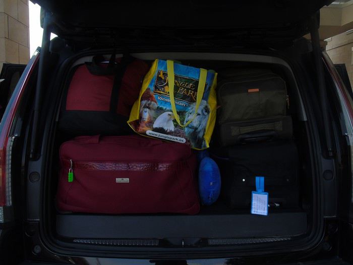
Ten minutes later, we were at the hotel. While the kids went for their first swim, we played "Tetris" to figure out the best way to pack the bags in the trunk. Here’s how it turned out—we stuck with this setup the whole trip, which made packing quick since each bag had its place.
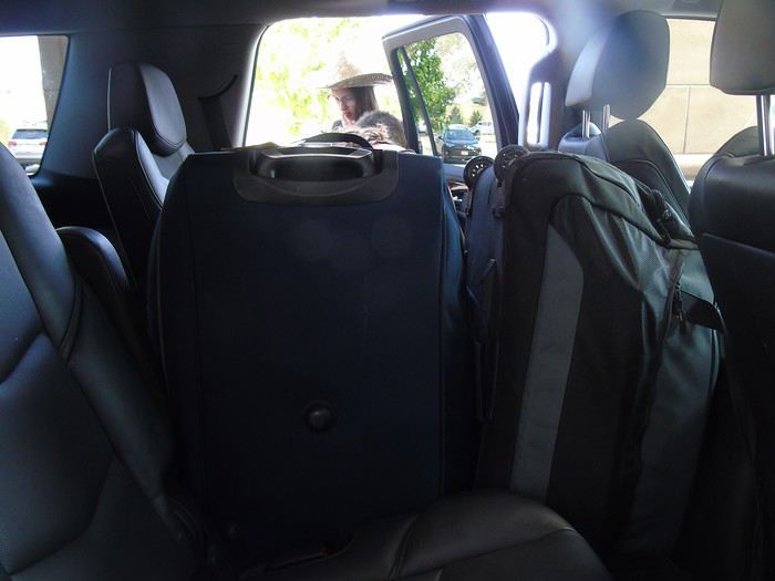
As for the car itself, it worked out great: very comfortable to drive, good handling, powerful, and with a cooled storage space in the front (which came in handy since we didn’t have a real cooler). However, it had a noticeable fuel consumption (19L/100km on average) and was very uncomfortable for the kids sitting in the third row. Plus, the bench was split 2/3, with the last third for bag storage, which blocked their view on the right side. Luckily, we often stayed two days in one place, so we could explore with the car empty.
We still wondered if it would’ve been better to ensure we got a long model and booked a Suburban directly. In hindsight, we adults don’t regret our choice; the kids do, of course—they were the ones who suffered the most from the discomfort.
Still, one positive aspect (for me) of the car’s "tightness": it forced us to pack our bags perfectly. Nothing out of place, nothing lying around.
Okay, that’s the car situation sorted—now we can finally dive into our trip!
Thanks for your interest. I hope you enjoy the rest.
And here’s our first day.
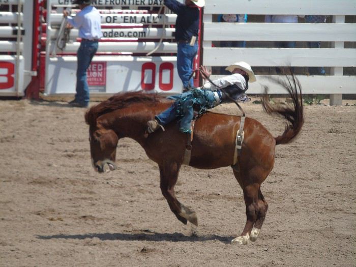
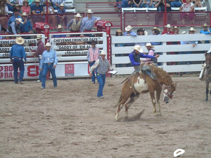
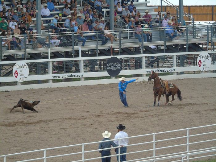
Day 1: A day at Frontier Days in Cheyenne, where we booked rodeo tickets online. I won’t go over the different events that follow one another all afternoon—check out Chris’s (Maryelectra) very detailed post on the subject. We got seats in the BU block, first row, with a meal included (hamburger + fries + drink) and parking. The parking lot is at the I-25 exit, with an efficient shuttle system. We arrived at opening time, and there were plenty of spots available to park on the streets near the entrance. We had a great view of the events, and the food was average, but we expected that in this kind of place.
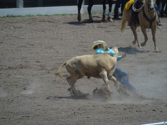
Poor calf stopped abruptly in full sprint...
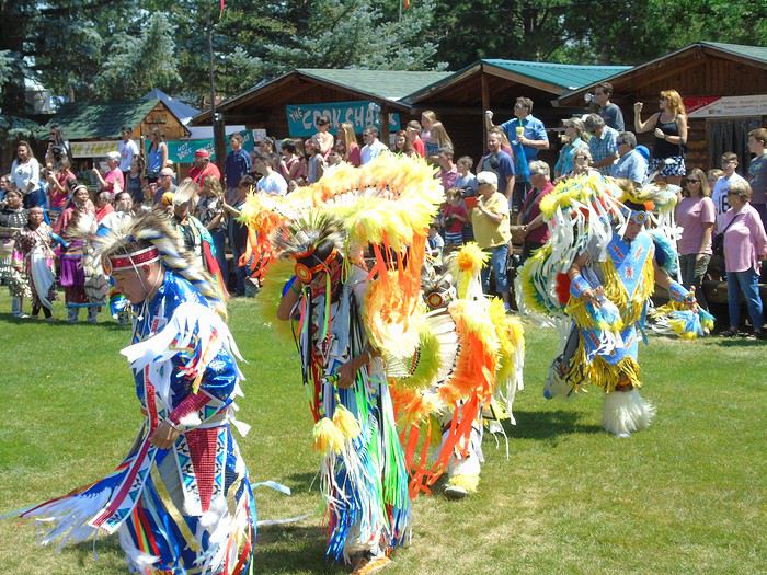
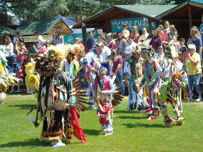
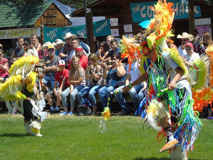
We visited the Indian village, where young kids could take part in creative workshops, and then we watched the dances. A Native American woman explained the different dances, but unfortunately, we didn’t understand much. The show was very colorful, though it was a shame some participants were chewing gum or wearing sunglasses.
We had a really enjoyable day in a great atmosphere. It’s a wonderful dive into the world of Native Americans and cowboys—definitely worth it if you’re in the area.
Lodging is overpriced and gets booked up months in advance, so you really need to plan ahead to avoid ending up far away. We’re staying in an Airbnb: the Little Chicken Ranch, located 20 miles from Frontier Days. The welcome was very warm, with bottles of water, crackers, and cereal bars available. We had the entire basement to ourselves (with windows in the bedroom and living room) and a private bathroom. We could use the kitchen in the main house, and the owner even gave us eggs from her chicken coop. All that for 44 €—our cheapest and one of the best places we stayed on this trip. I highly recommend this Airbnb!
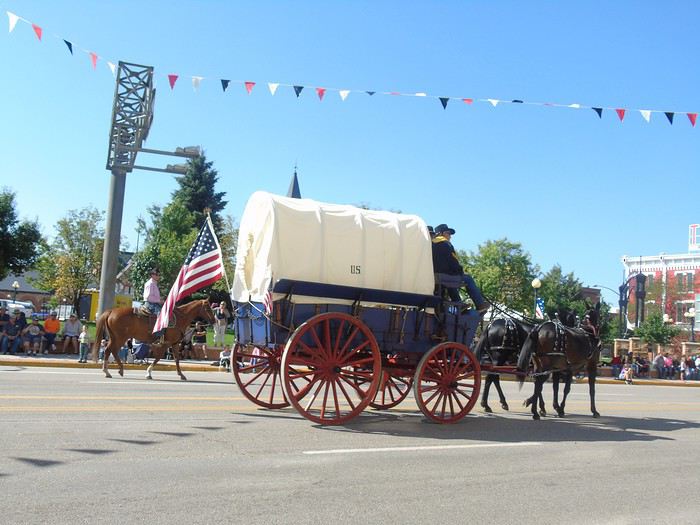
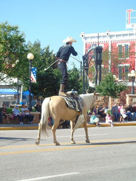
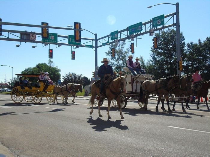
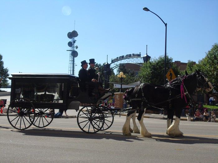
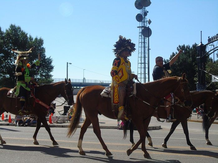
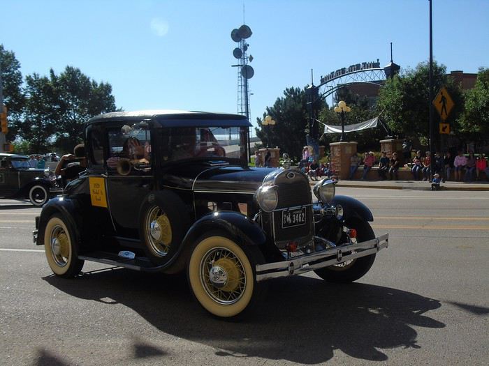
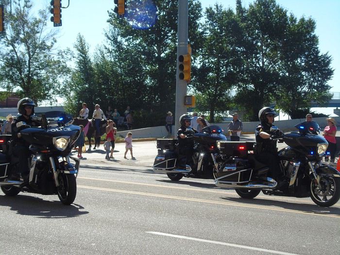
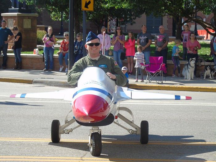
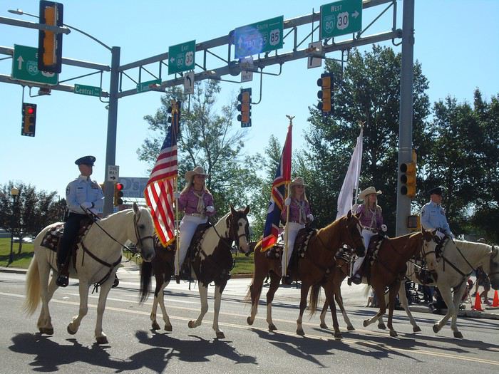
Day 2: back in Cheyenne to watch the parade. Chairs are set out along the sidewalk for public use. The procession is quite eclectic, with a fun, laid-back vibe and some surprising floats. We had a great time.
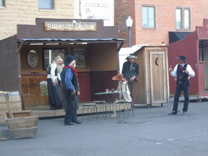
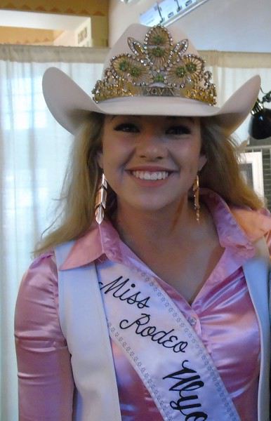
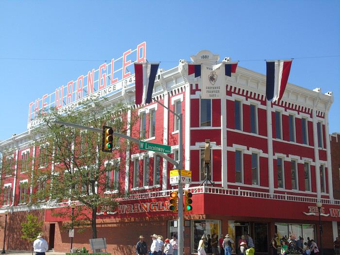
After a quick tour of the town and a stop at "The Wrangler," the cowboy mecca, we chat with Morgan, Miss Rodeo 2018, who autographs her photo for us.
Despite our detailed road book, we forgot to go see Big Boy, the largest steam locomotive. Was my husband distracted 😉?
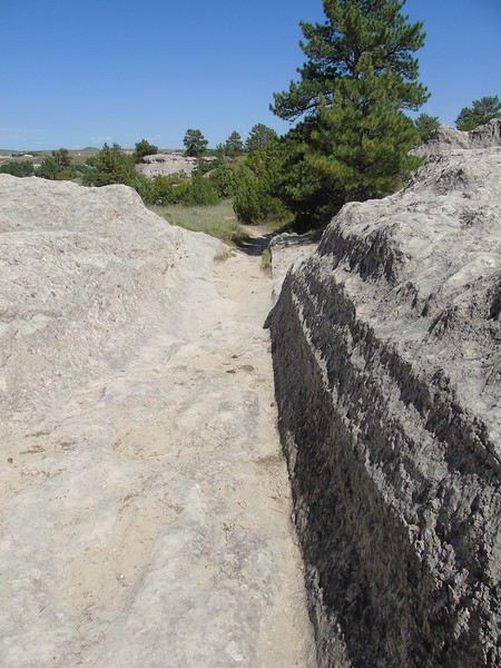
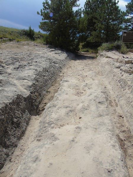
We hit the road again, and our first stop is Guernsey Ruts. A small loop lets you see the ruts carved by pioneers' wagons in the sandstone. The site is small but worth a stop—the depth of the ruts gives you an idea of how many pioneers passed through here.
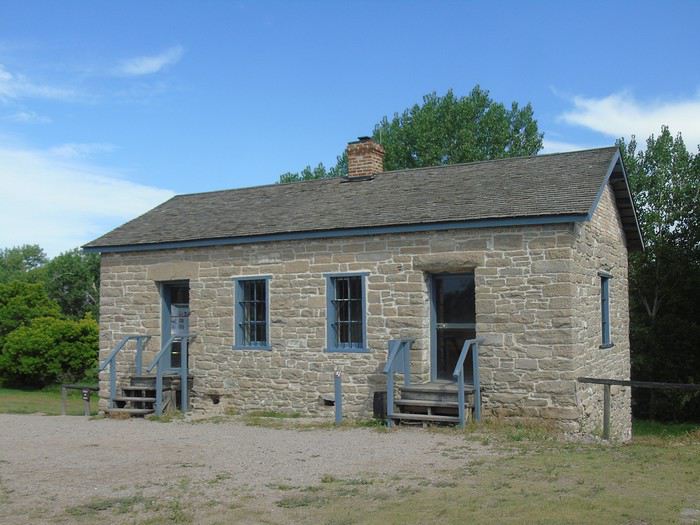
Our next stop will be Fort Laramie, a key stopover for pioneers following the Oregon Trail around the 1850s. Several important treaties with various Native American tribes were signed here. The fort was gradually abandoned starting in 1890.
Free entry, and there’s documentation in French at the visitor center. It’s a really interesting place where we spend a long time before the storm rolling in fast forces us to leave.
View of the plains:
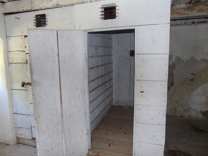
New guard post (prison):
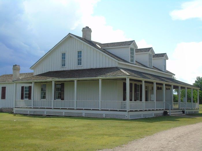
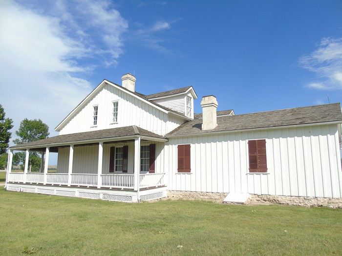
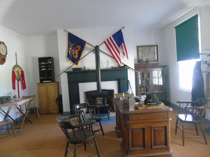
The captain’s quarters:
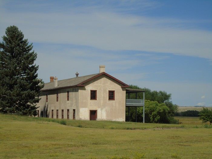
The surgeon’s quarters:
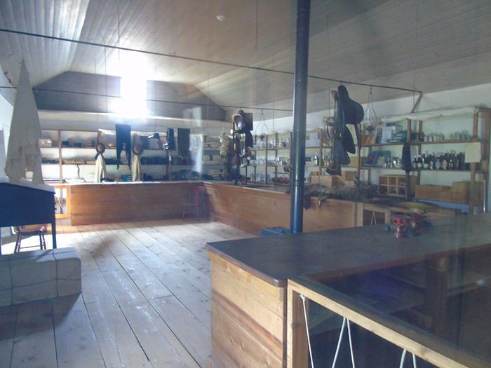
The store:
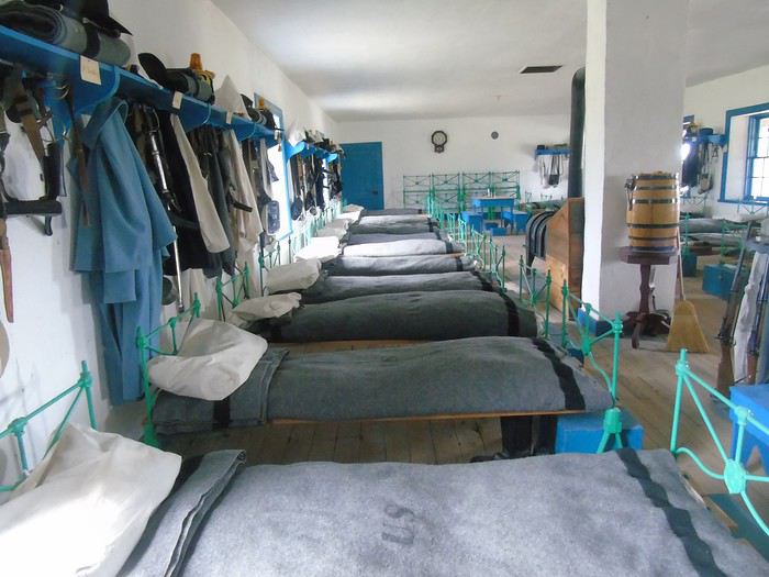
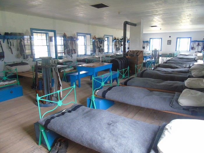
The cavalry barracks:
We stayed overnight in Gering at the Cobblestone Hotel: a good hotel with a full breakfast, pool, and a reasonable price (99 €).
We’d be happy to make a little room in the car for you! Especially since we’re about to dive into the heart of the trip: the national parks.
Wishing you a great prep for 2019—don’t hesitate if you have any questions.
During this loop, we chatted live with Françoise (Disneydiddl) and Nicolas (Sixiemesens), who were following roughly the same route as us, just a few days apart. It's great to swap impressions and great tips along the way. Thanks to both of them!
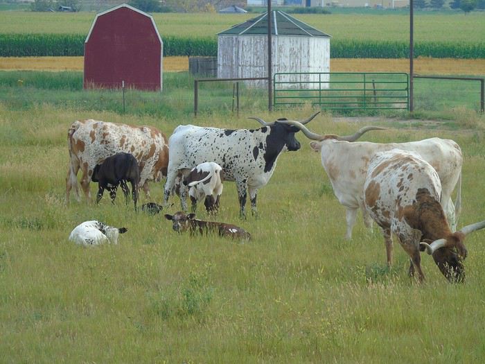
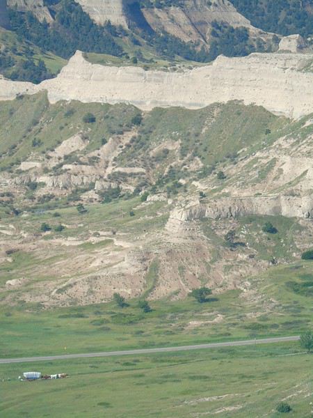
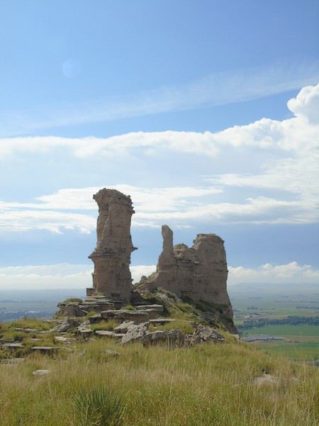
Day 3: Early start for Scotts Bluff NM, just 10 minutes from the hotel. We spotted some beautiful longhorn cattle—Texas Longhorns, I think.
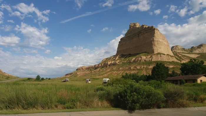
We bought the $80 annual pass, which will open the doors to all national parks. Given the clouds in the distance and the forecast calling for rain, we took advantage of the relatively nice weather and headed straight up to admire the view from Saddle Rock. This time, we’ll stop by the Visitor Center afterward.
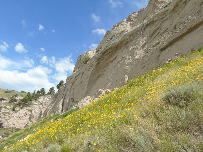
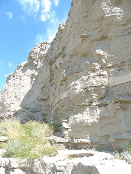
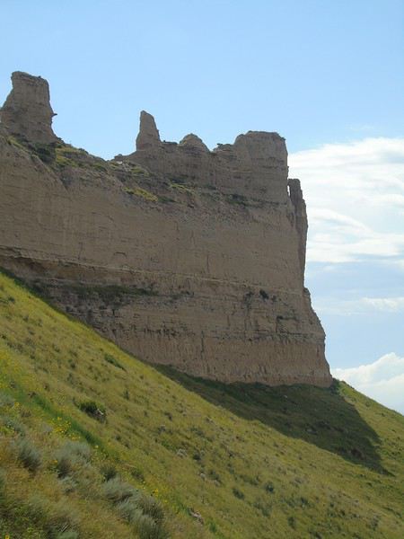
It’s a sandstone and clay formation that stands out in the surrounding plains. It was a landmark for pioneers on the Oregon Trail. Here, they had already covered a third of the journey.
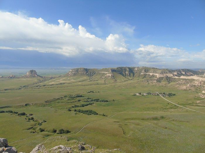
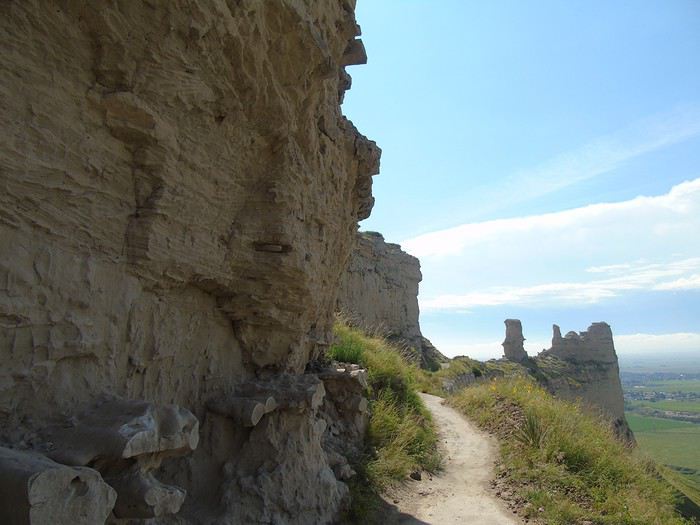
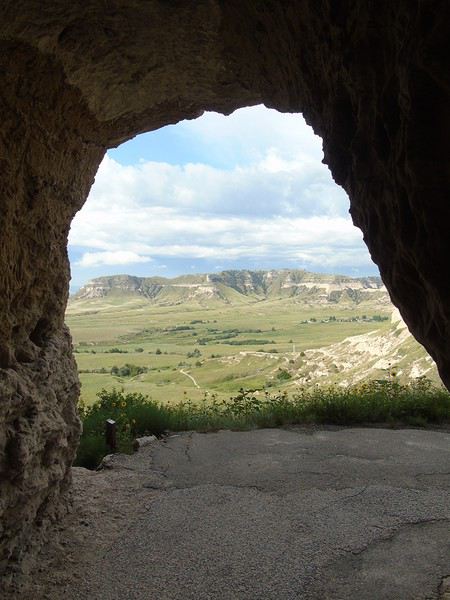
After doing the two short trails (South and North Overlook), I hiked back down with the kids via the Saddle Rock Trail (1.6 miles), while my husband drove down. To avoid splitting up, you can take a shuttle that leaves from the VC and drops you off at the top of the hill. The first part offers some lovely viewpoints. After passing through the tunnel and following the cliffside, the path crosses the plain, which gets a bit monotonous. A very easy hike, all downhill.
View from South Overlook:
Saddle Rock Trail:
The weather turned cloudy, and we arrived at the VC in a light drizzle. After visiting the VC—always so informative—and with a brief break in the clouds, we quickly walked a short stretch of the Oregon Trail, but the rain caught up with us fast!
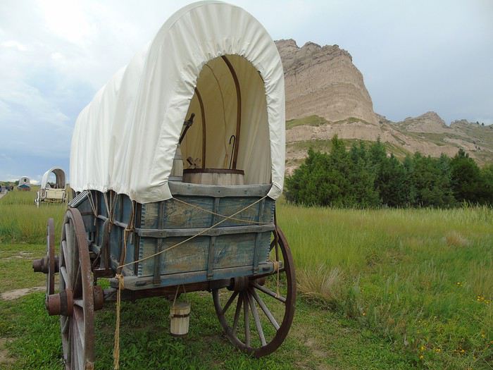
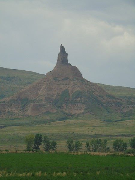
We hit the road and passed Chimney Rock, but since it was still raining, we didn’t stop and just took some photos from a distance.
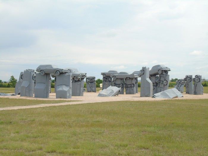
Our next stop was Carhenge, a replica of Stonehenge made with cars. No more rain, but the sky stayed pretty gray. Maybe that’s why we weren’t really impressed by Jim Reinders’ creation.
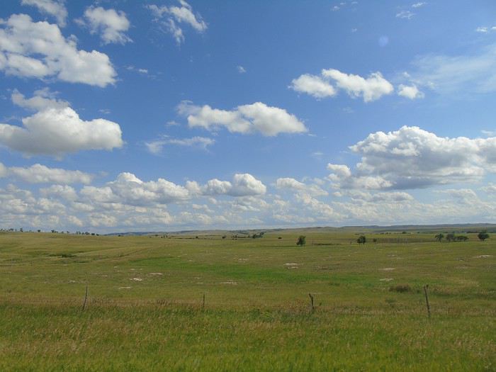
Our route took us to the entrance of Badlands NP. We drove through some beautiful plains and the Pine Ridge Indian Reservation, an area that seemed quite poor, with "villages" made up of old mobile homes and rusted pickups in front. A strange feeling...
We barely saw any cars, just a few kids playing by the side of the road.
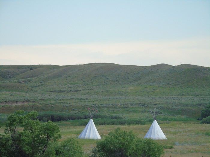
We arrived in the mid-afternoon at White River KOA in Interior, where we spent two nights in a tipi. The weather was heavy and stormy, but the kids still went swimming. For the sunset over the Badlands, we’d just have to hope for better luck tomorrow!
A big storm rolled in that evening, and it rained all night. Not a drop of water inside the tipi, despite my worries. The rustic tipi was really small for six of us, but we managed to fit everything inside. The campground is in a pretty setting but was infested with mosquitoes (by the White River). We got eaten alive the first night, but luckily, the repellent we bought the next day worked pretty well.
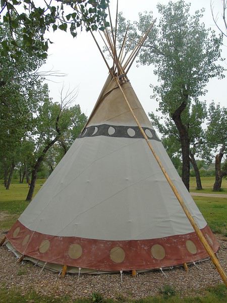
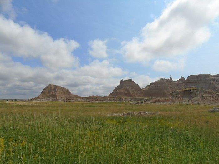
Day 4: The overcast sky didn’t exactly inspire an early start for Badlands National Park, just 10 minutes from the campsite. We stopped by the Visitor Center first. We picked up some brochures, and the kids—even the older ones—signed up for the Junior Ranger program. It’s a great program that not only helps them practice their English but is also really educational and often requires research in the exhibits or out in the field. The pages to complete vary by age. However, it easily takes 1–1.5 hours to finish, so keep that in mind if your time in the park is limited. You have to return it to the VC once it’s done. A ranger checks the answers, asks a few questions, and then solemnly presents the kids with a badge while having them repeat a pledge. The program is free except at Yellowstone (3 €).
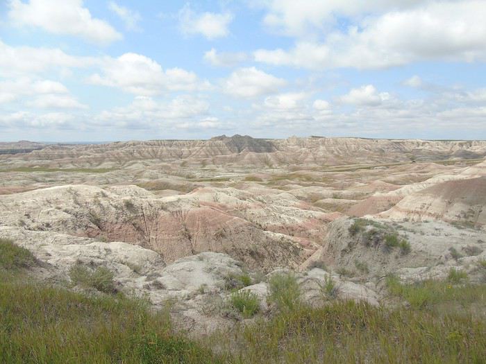
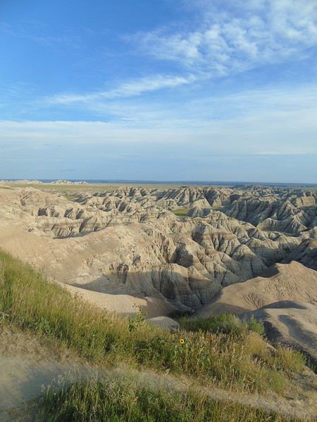
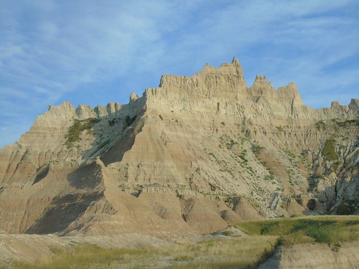
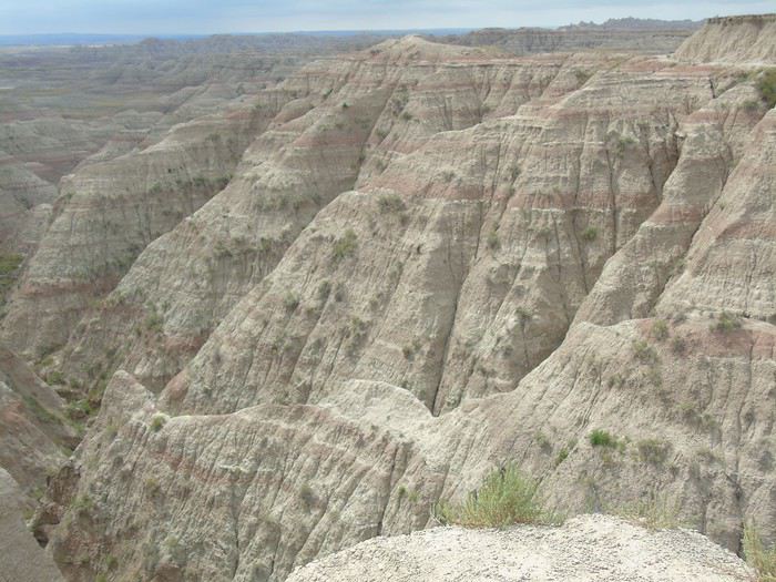
We set off on the Saddle Pass Trail/Castle Trail/Medicine Root Trail loop, about 6.5 km in total. After a short but steep climb (Saddle Pass), we found ourselves on a plateau with prairie all around and the Badlands stretching out in every direction.
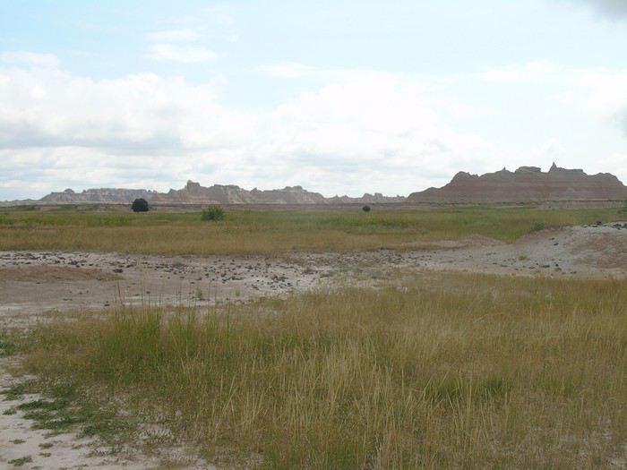
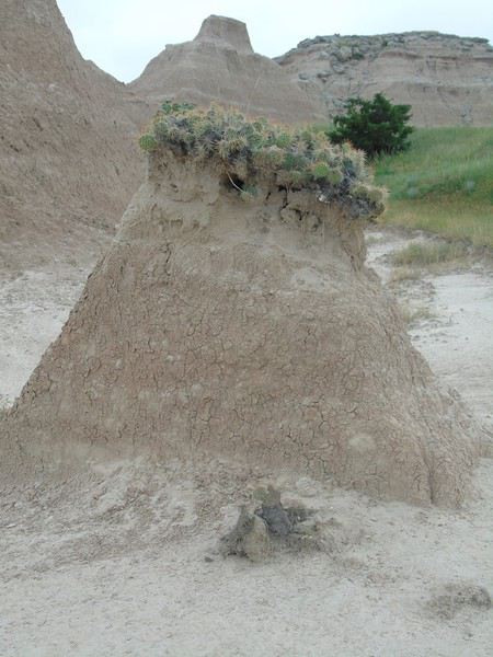
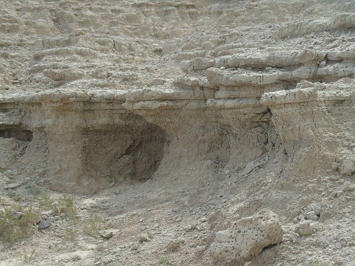
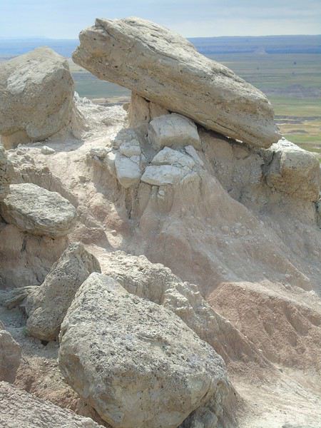
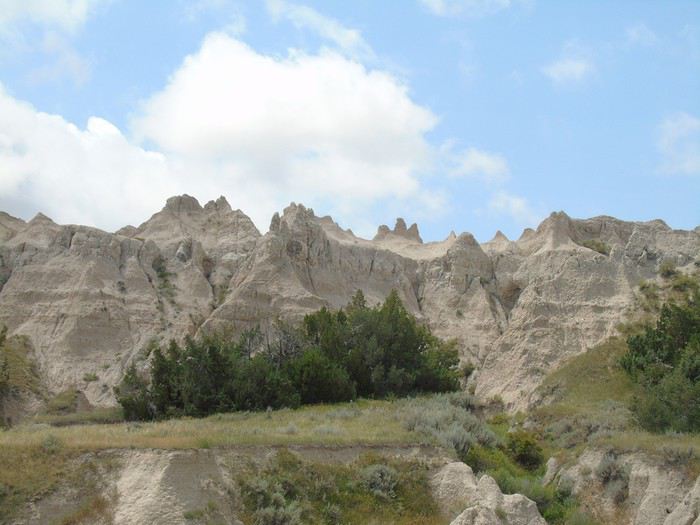
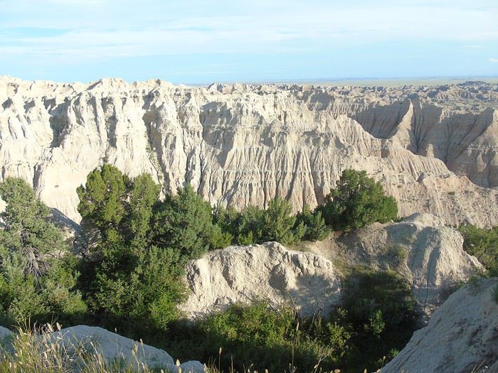
Rock formations:
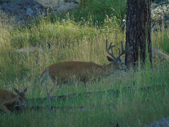
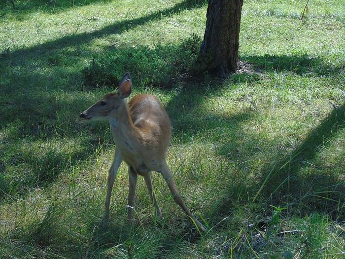
It was an easy, pleasant hike with few people around (we only crossed paths with two couples). We came face to face with a doe that bolted away quickly. Strange that she didn’t hear us coming—our hikes are rarely quiet! Just a heads-up: there’s no shade, so it’s best to avoid this trail in very hot or sunny weather. We didn’t have that problem, though .
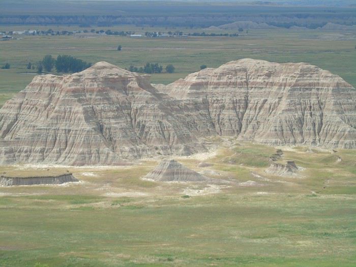
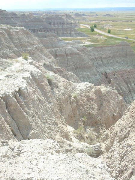
By late morning, as our hike wrapped up, the sky started to clear, bringing out much more vibrant colors.
Views from Saddle Pass:
Our second stop was the Fossil Exhibit Trail: a 500 m loop on boardwalks. It was pretty crowded, especially with people wandering off the boardwalks onto the rocks. We didn’t linger—it just wasn’t our thing.
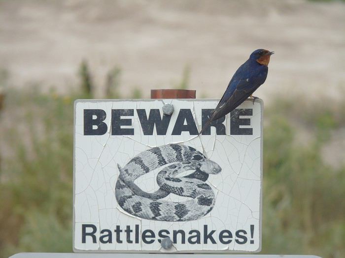
My only photo from there is this beautiful blue bird:
With the forecast promising sunshine in the mid-afternoon, we stopped at Big Foot Pass Overlook for a picnic before heading to Wall to check out the famous Wall Drug Store. Way more tourists here than in the Badlands! The main street is lined with souvenir shops featuring cute Western decorations. Worth a visit if you’ve got time to spare. Funny, I didn’t take any photos!
Big Foot Pass Overlook:
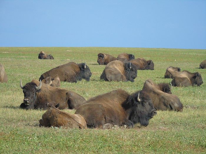
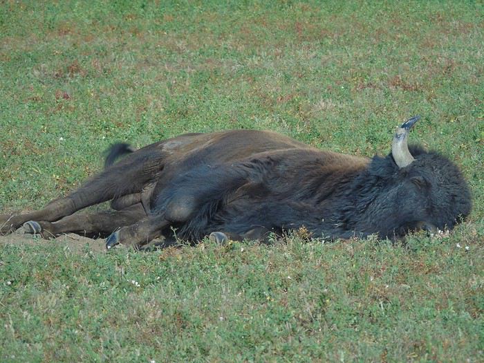
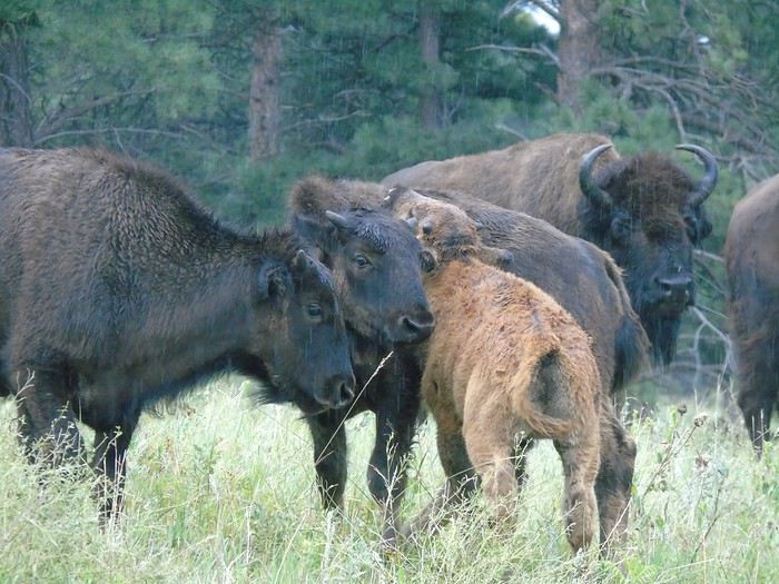
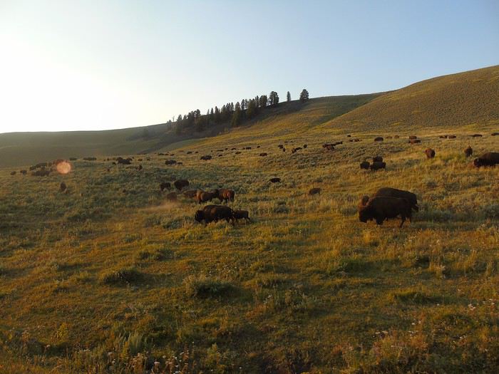
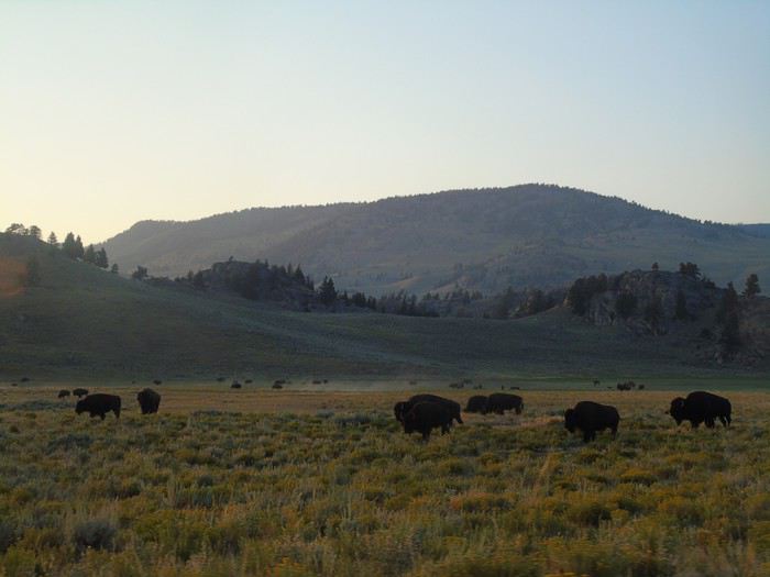
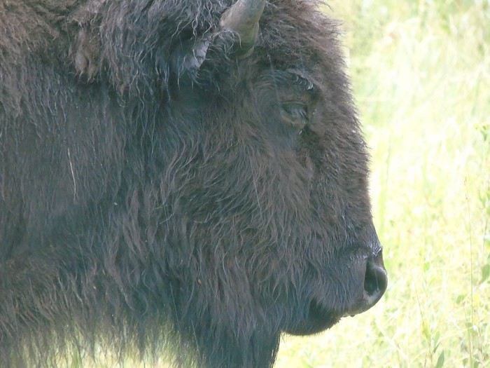
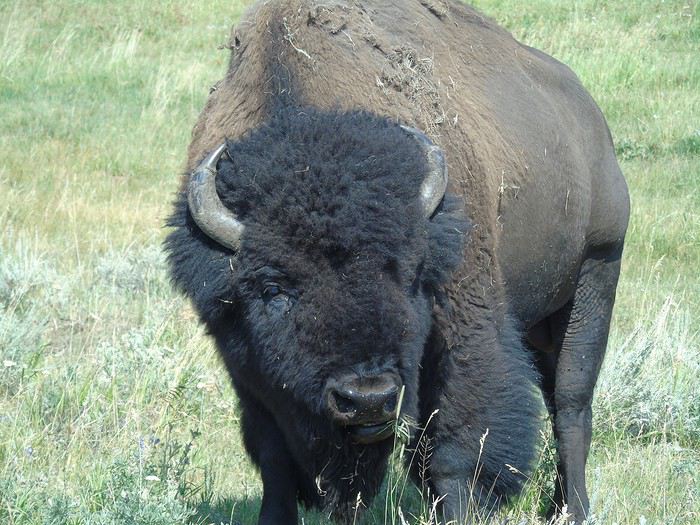
After picking up a few souvenirs, we head back under a finally clear sky into Badlands National Park via Sage Creek Road (unpaved but accessible to all vehicles). We’d barely entered the park when we came across our first bison. We stopped for a long photo session, snapping away from every angle.
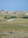
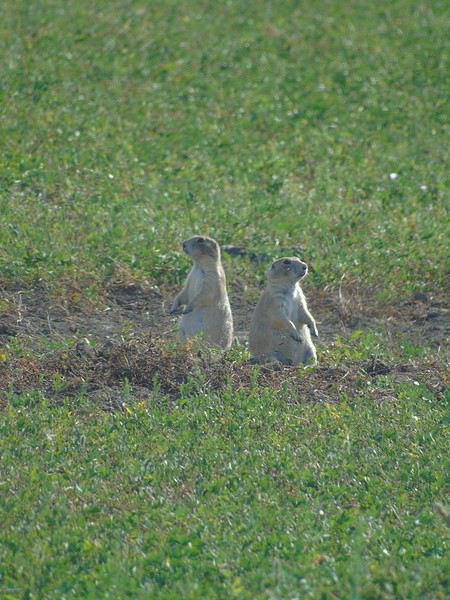
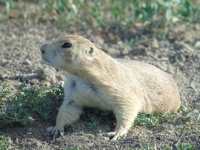
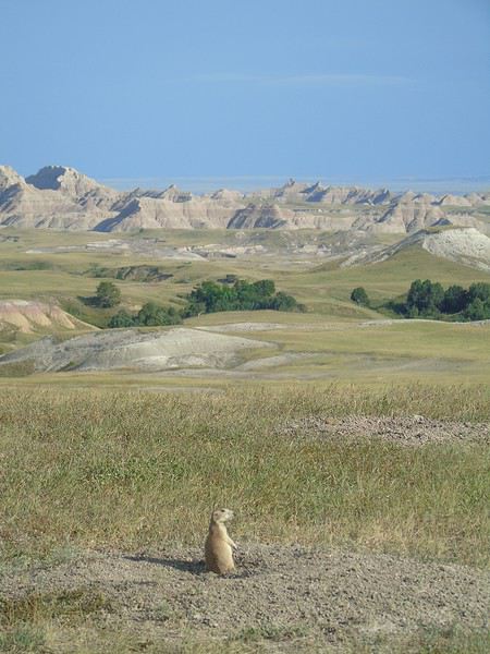
Just a few hundred meters later, we spotted prairie dogs. They’re really not shy—some were right by the road. Too cute!
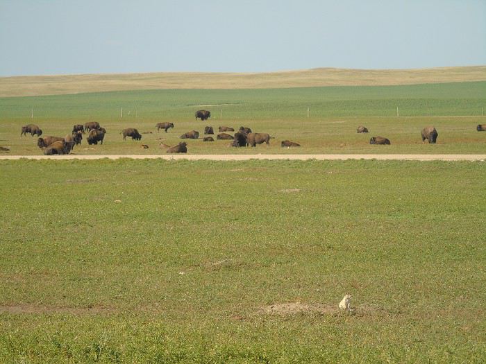
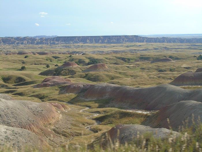
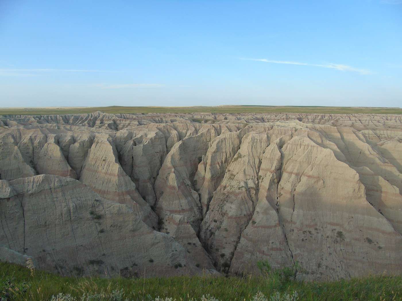
We stopped at Sage Creek Basin Overlook, which offered a stunning landscape.
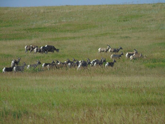
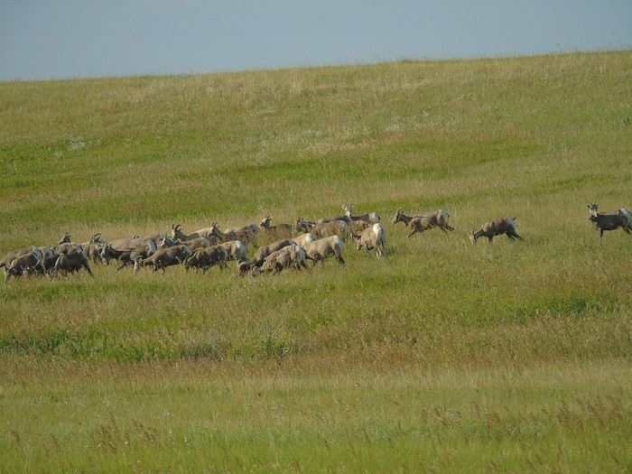
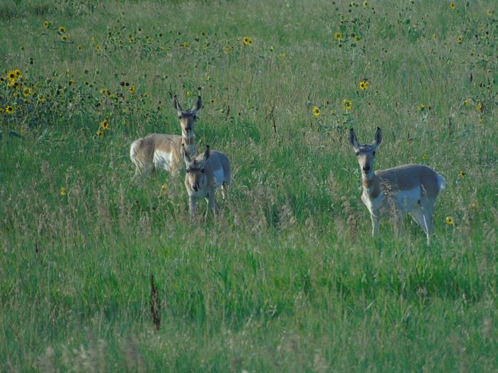
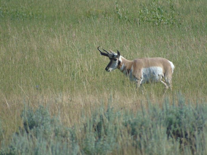
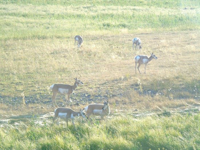
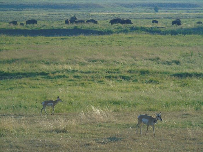
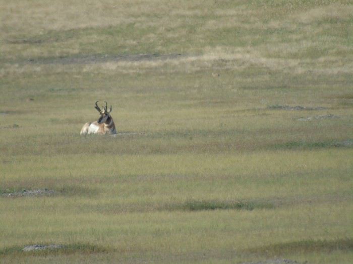
No sooner had we set off again when we saw a male pronghorn in the plains, and a little farther on, a herd of bighorn sheep. At one point, they all started running—what a sight! Magical.
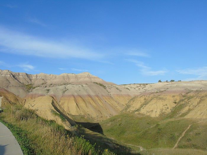
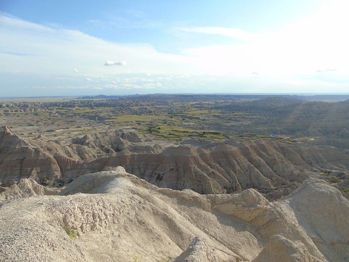
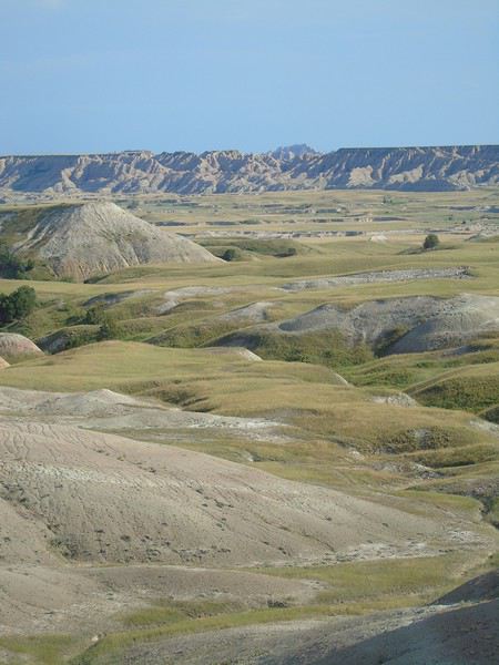
We stopped at Yellow Mounds Overlook—another breathtaking view unfolded before us. The colors were gorgeous.
A bit farther along Badlands Loop Road, we came across a few more pronghorns.
Other viewpoints:
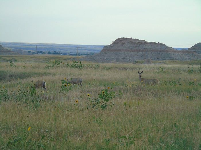
The scene wouldn’t have been complete without the deer we spotted near the park exit.
Between the stunning panoramic viewpoints and the wildlife, I can’t recommend this route enough! One of our favorite memories from the trip.
We’d planned to do the short hikes at Notch, Window, and Door Trail, but the sun was already setting. We’ll save those for tomorrow.
We were in the same situation as you—2 adults + 4 kids—and we also flew into Denver and took advantage of the Hertz Escalade deal. Since we were camping, we had all the gear too: cooler, tents, etc. We managed to get a long SUV, but we had to pay an extra fee... Still, it was cheaper overall than the Suburban, which was showing up as $1,500 more for the 23 days in the simulations!
For peace of mind, we invested in a soft, waterproof roof bag that we had delivered to our arrival hotel via Amazon. It cost around $80, and we were able to bring it back neatly folded. Tents, sleeping bags, mattresses, jackets—everything fit inside. A great tip!
I’m still enjoying following your travel journal...
Thanks for following my travel journal.
I thought short and long stays were in the same category, so the same price. A long stay would’ve worked much better for us.
I wasn’t familiar with Roffbags. They do seem really handy. I’ll keep this idea in mind for our next trip.
J5: No rain last night, but a very overcast sky this morning. We still did the three short hikes at Notch, Window, and Door Trail. The gray sky really didn’t do justice to the rock formations.
On the road, we spotted a few pronghorns, including one perched on a rocky outcrop. My photo didn’t turn out—some days just don’t go your way!
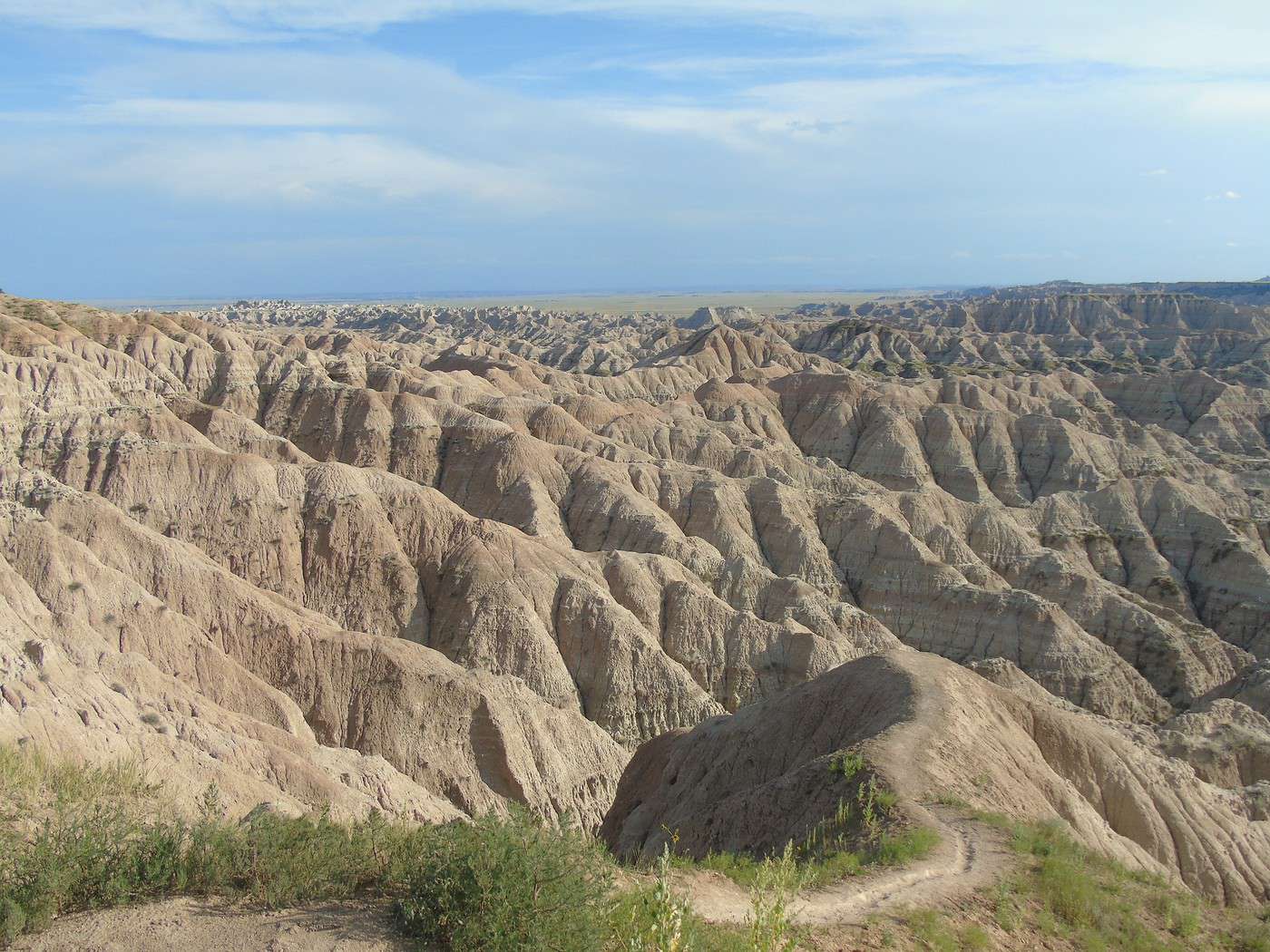
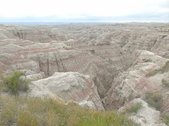
We stopped at Big Badlands Overlook, which offers a stunning panorama.
We had planned to take Route 44 to Rapid City and visit Sheep Mountain Table, but given the weather, we took the quickest route via I-90 instead.
What can I say about Badlands NM other than we loved it! Even though the weather wasn’t on our side, we found the park incredibly photogenic and saw plenty of wildlife. It’s often visited as part of a round trip from the Custer area, but it really deserves a longer visit. It’s one of our top highlights of the trip.
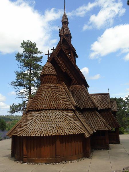
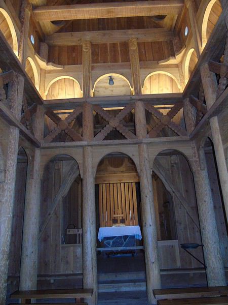
Our first stop in Rapid City was to visit a stave church (stavkirke) built by Norwegian immigrants, a replica of the one in Borgund, Norway. It’s a beautiful structure that brought back great memories of that amazing country.
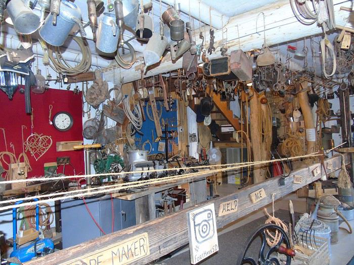
Our next stop was Fort Hays, featuring the sets from the movie *Dances with Wolves*. It felt a bit like a hodgepodge, so we didn’t stay long.
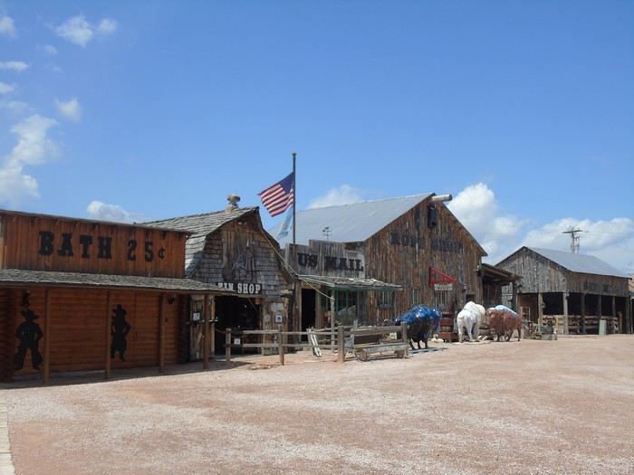
We headed to the Visitor Center at Custer SP. Entry costs $20 for 7 days, and the national parks pass isn’t accepted. The clouds rolled back in, and the rain followed soon after. We still set out to drive the Wildlife Loop Road. The bison herd was at the start of the loop, unfazed by the rain. Lots of cars stopped to watch them before turning back.
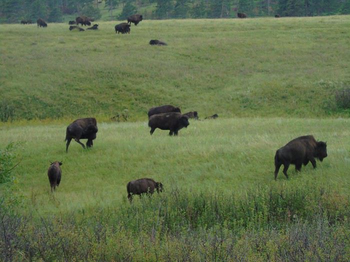
We continued our drive, hoping to see the burros. We spotted them in the distance, sheltering under a grove of trees. A young girl tried in vain to lure them with food, but they preferred to stay "dry."
The rain quickly turned into a storm.
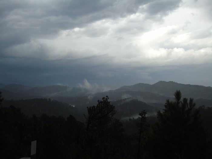
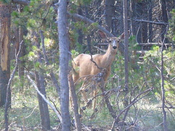
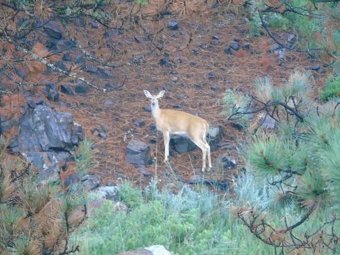
Too bad—this road is lovely, and I’d scoped out some trails to explore further, but they weren’t doable in this weather. We pulled over in a turnout to wait out the worst of the storm, and a deer watched us the whole time.
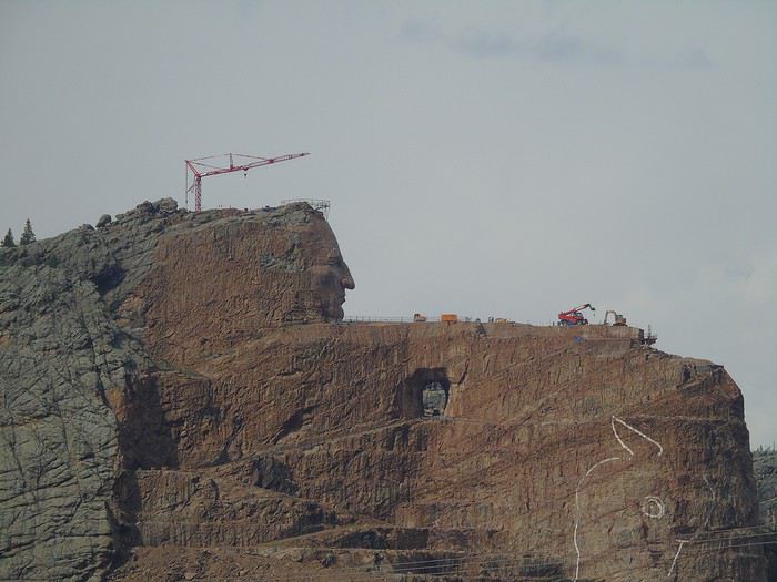
Before heading to our lodging for the night, we made a quick photo stop at the Crazy Horse Monument, though we didn’t visit it.
We spent the night at Mount Rushmore KOA at Palmer Gulch Resort (Hill City). It’s a large, well-equipped campground with a pool, hot tub, water slide, equestrian center, restaurant, and laundry. Our cabin was in a wooded area, nice and quiet.
At all the KOAs except the first one, we booked a cabin for 6 without bathrooms. The restrooms were always nearby and well-maintained. The sites had a picnic table and a fire pit. Prices ranged from 75 to 90 € per night, depending on the campground. KOAs are often criticized for being near roads, which is usually true, but we weren’t bothered by traffic noise (though it might be different for tent campers). With kids, this type of accommodation is great—there’s a pool, games, they can run around outside, and a good campfire is always a nice way to end the day. Don’t forget your sleeping bag, as linens aren’t included (though they can usually be rented).
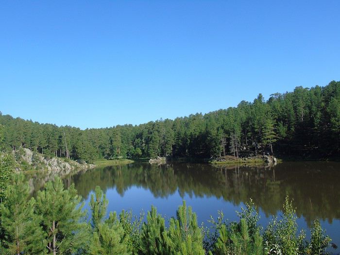
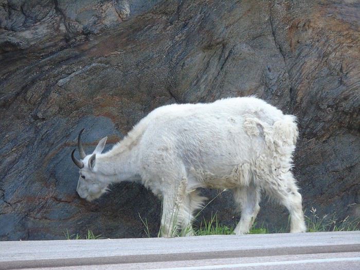
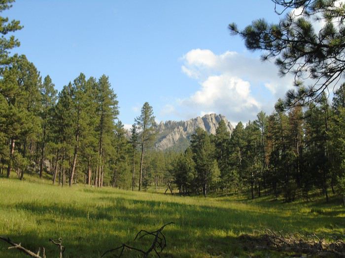
Day 6: finally a beautiful blue sky! We set off for Mount Rushmore, located very close to the campsite. Along the way, we spot a mountain goat drinking by the rocks.
Horse Thief Lake:
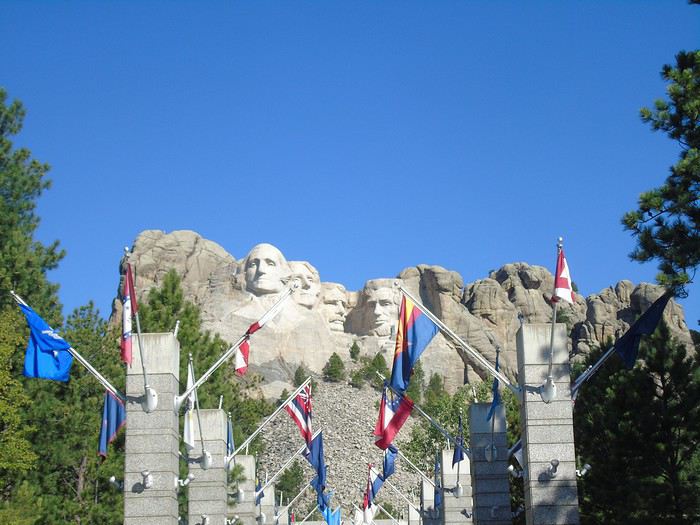
The parking costs $10 and is valid for 1 year. Entry to the site is free. The Presidential Trail loop is partly closed, and the Sculptor's Studio is inaccessible. There aren’t many people around at this early hour, so we do a round trip that brings us closer to the sculpted heads (George Washington, Thomas Jefferson, Theodore Roosevelt, and Abraham Lincoln). The site turns out to be less impressive than I expected. I even found the place quite cold. That said, it *is* a memorial—we shouldn’t forget that. We plan to come back this evening for the site’s illumination ceremony. Maybe our feelings will be different then... Avenue of Flags:
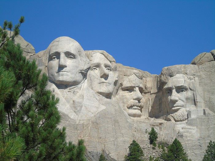
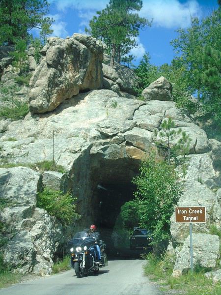
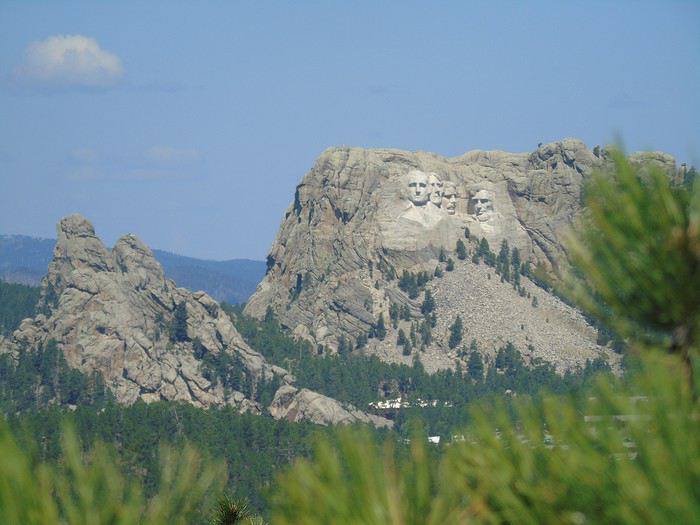
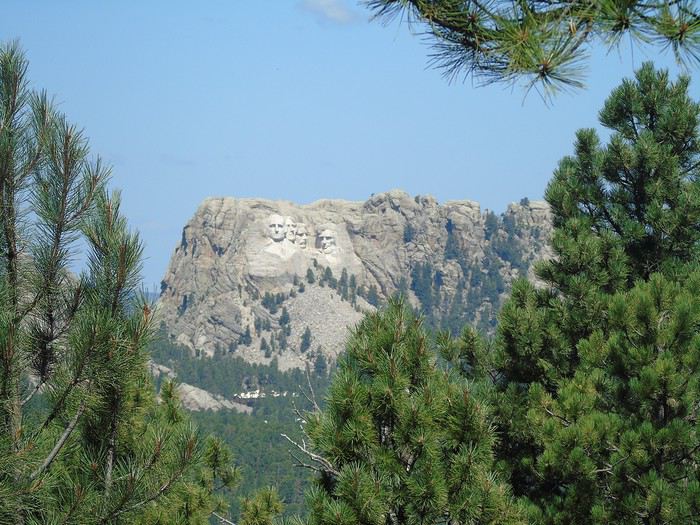
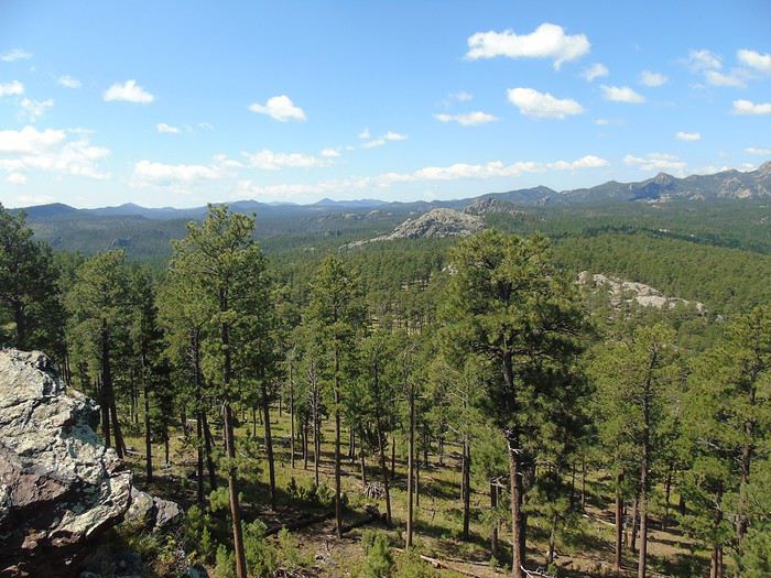
We head back to Custer State Park via Iron Mountain Road. A really beautiful route with "pigtail" bridges (a looped bridge system that gains altitude over a very short distance) and narrow tunnels. We spot a few deer. Gorgeous views of the Black Hills from the overlooks, where the heads are still clearly visible. A very pleasant, wooded road.
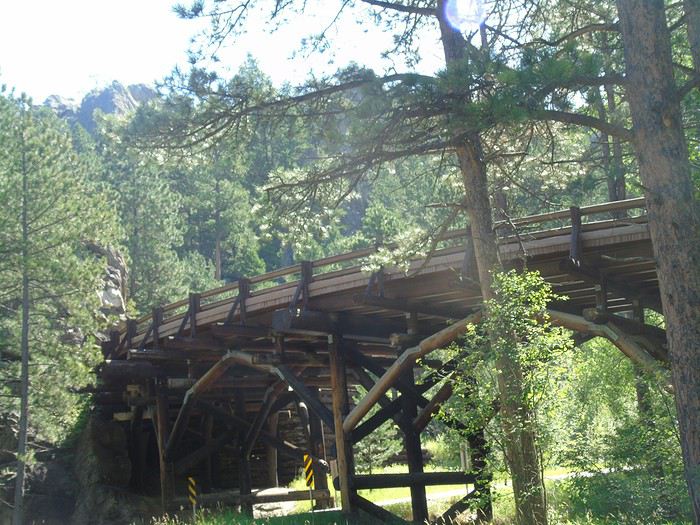
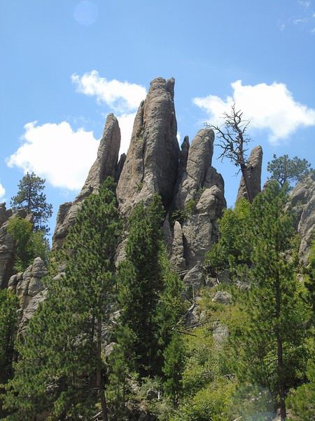
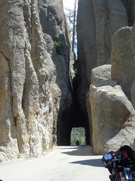
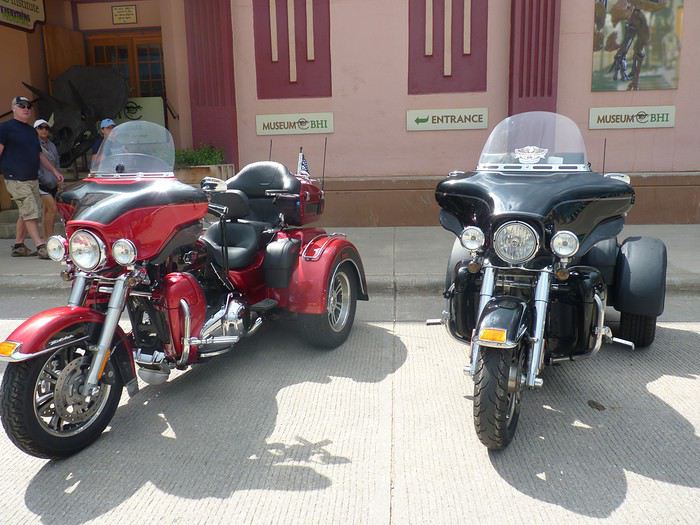
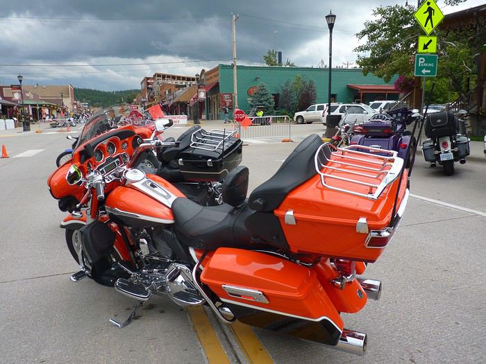
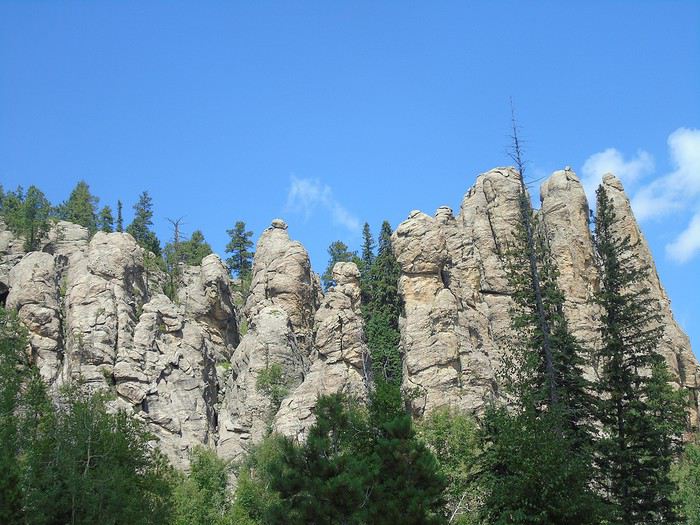
We continue along the Needles Highway. The landscape is different here—tunnels are even narrower, and the car barely fits. Fortunately, there aren’t too many people, so no waiting to pass through the tunnels. Drivers are courteous, which is a nice change! There are also overlooks where you can admire the scenery, including granite needles. After reading some travel journals, we’d braced ourselves for lots of motorcycles, since the Sturgis rally starts in a few days. We *did* see plenty of Harleys, but we were still able to stop at the overlooks without any issues.
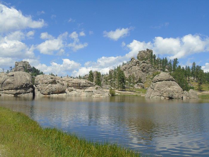
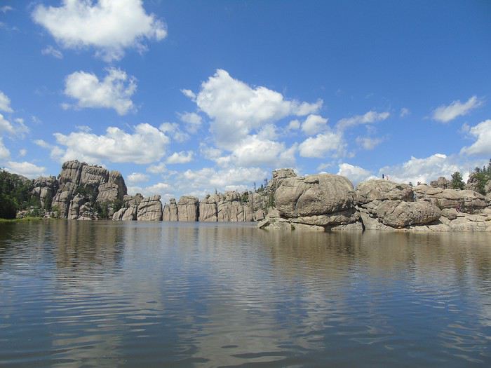
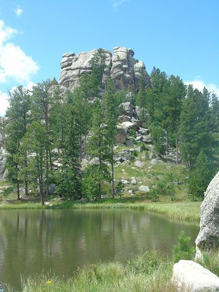
We have a picnic by Sylvan Lake before walking around it. A nice, easy stroll (1 km loop). There are a lot more people in this area.
In the late afternoon, we go horseback riding with the campsite’s equestrian center (1.5 hours, $50 per person). There are just the six of us with the guide. The whole ride is at a walk, which suits my husband and me just fine—neither of us has ever ridden before. The kids, who have some experience, would’ve preferred a faster pace. The scenery is pretty, mostly forests and meadows with views of the surrounding mountains. We spot two deer, as well as a doe and her fawn. A peaceful, quiet moment—we really enjoyed this little break.
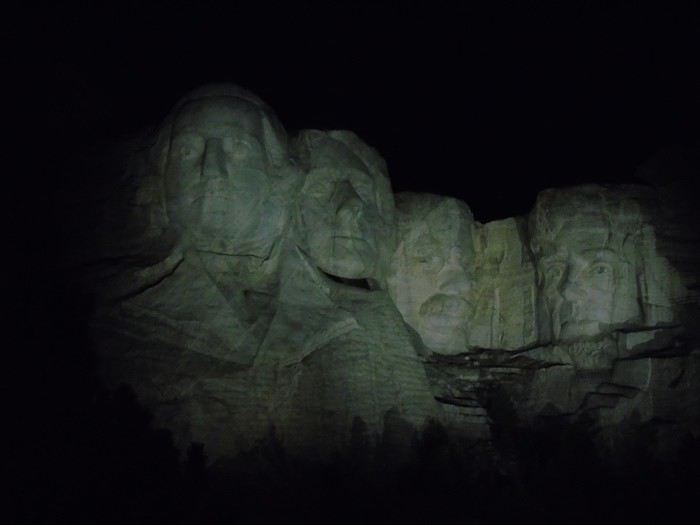
After a pool break and despite a late dinner, we decide to go see Mount Rushmore illuminated. We arrive at the end of the ceremony. The heads light up. Disappointment—the lighting is all white, almost pale. We probably should’ve watched the whole ceremony to feel the emotion of the moment. No matter what, we just didn’t connect with this place. It happens! Sorry for the photo quality—it’s still way better in person!
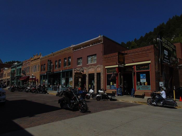
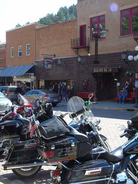
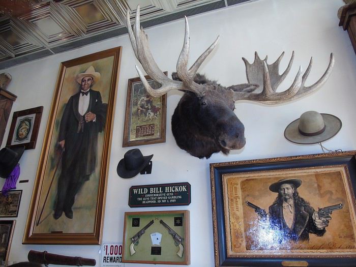
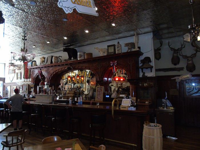
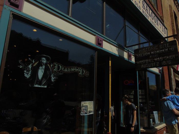
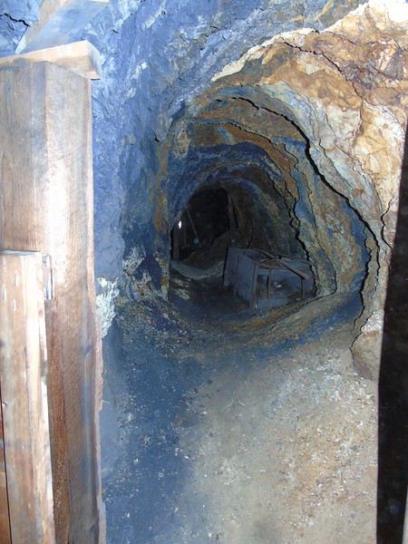
Day 7: A big day of driving today with several stops planned. We hit the road pretty early—well, once everyone was finally ready—and took a scenic route toward Deadwood, a town illegally founded in 1876 during the gold rush, where legendary figures of the Old West like Calamity Jane and Wild Bill Hickok lived and are now buried. After visiting the well-documented visitor center, we strolled down Main Street. There were quite a few Harleys parked along the sidewalks, which added a special vibe to the street’s atmosphere. We’d planned a short stop since the day was packed and reviews of the town hadn’t exactly blown us away. Our main point of interest was visiting the mine. The round trip down this street—though not long—ended up taking quite a bit of time. We loved the "Old West" atmosphere. We stopped in a bunch of shops, from the photographer’s studio to the "saloons," where you can often go in to take photos even if you’re not ordering anything (donations welcome). So, much later than planned, we headed to the Broken Boot Gold Mine on the outskirts of town. The visit was quick but interesting, with a guide who spoke slowly so everyone could understand—most of the visitors weren’t English speakers. We got back on the road toward the Geographic Center of the U.S., which was on our way in Belle Fourche. After a few miles, we suddenly realized we’d forgotten to visit Mount Moriah Cemetery in Deadwood, where Calamity Jane and Wild Bill Hickok are buried—a stop that was actually well-rated in our roadbook. Turning back would’ve cost us too much time, so we had to skip it…
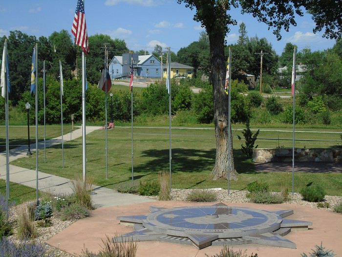
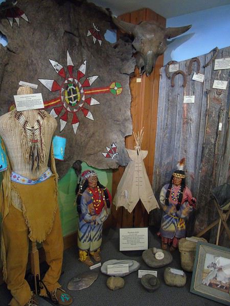
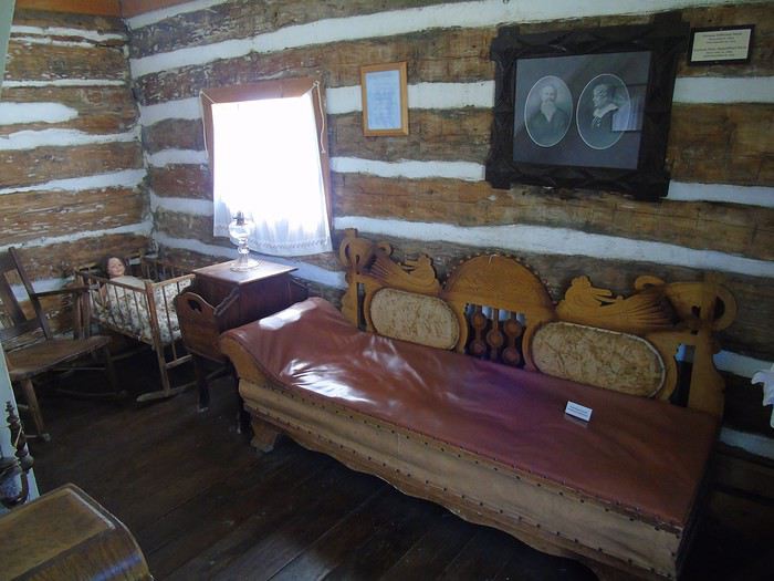
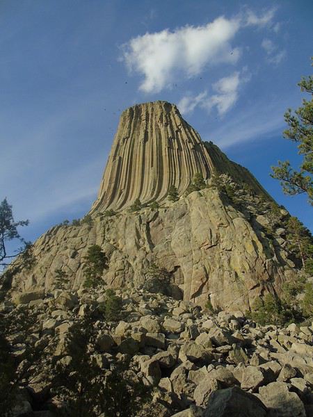
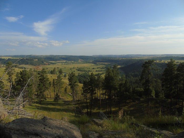
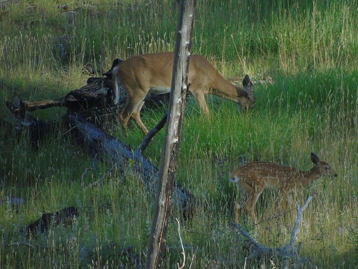
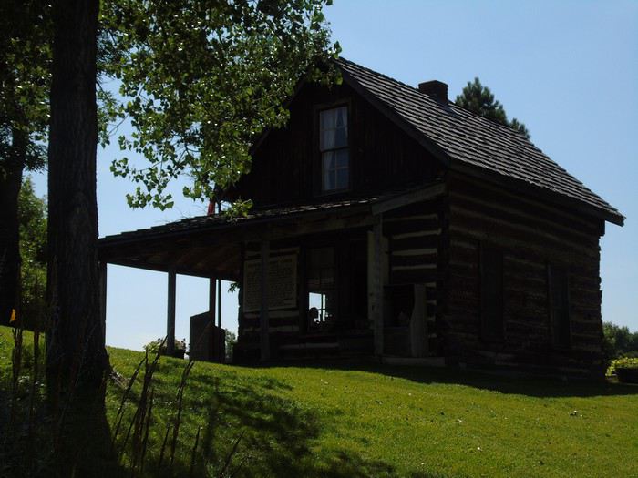
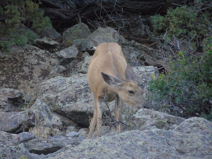
The Geographic Center of the U.S. itself wasn’t all that exciting, but the small visitor center had an interesting exhibit on life in the West and how it’s evolved since the gold rush. Right next door, the first log cabin built in the area in 1876—called the Buckskin Johnny Cabin—has been restored and furnished to look like it did back then. The visit is free, but donations are welcome to help preserve the heritage. Another stop that took longer than planned! It’s going to be tough to see everything today!!! On the way to Devils Tower, we made a quick stop in Hulett, a tiny village that’s stayed true to its roots. And then we arrived at Devils Tower, which you can see from far away in the surrounding countryside, rising 386 meters above the Belle Fourche River. A sacred site for over 20 Native American tribes, it was designated the first U.S. national monument by President Theodore Roosevelt. After the entrance booth where we showed our America the Beautiful Pass (required), we parked without waiting at the visitor center lot. With time running short, we decided to do the short 2 km loop, the Tower Trail. We started it on the left side. The walk was super easy and offered great views of Devils Tower and the surrounding countryside. We spotted a deer, then a whole family of them. We watched some climbers scaling the tower—it’s such a surprising geological wonder. A must-see. On our way out, about ten deer were calmly grazing among the prairie dogs in Prairie Dog Town. It was already late when we got back on the road for our overnight stop in Buffalo—210 km away! We ended up arriving *very* late at the Super 8. The staff was friendly, and we had a big room for six, though the sofa bed was terrible. Three of us ended up sleeping in the two double beds. Breakfast was pretty minimal, but for one night and at the price we paid (70 €), we’re not complaining...
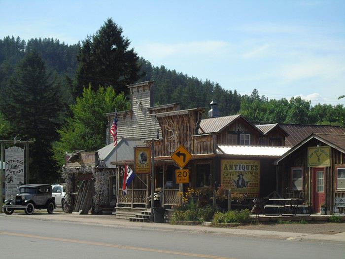
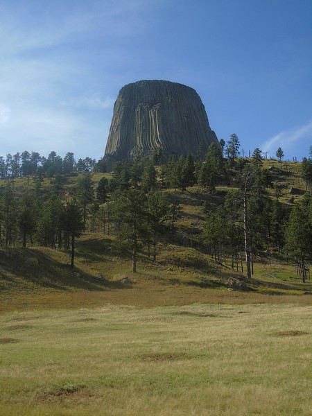
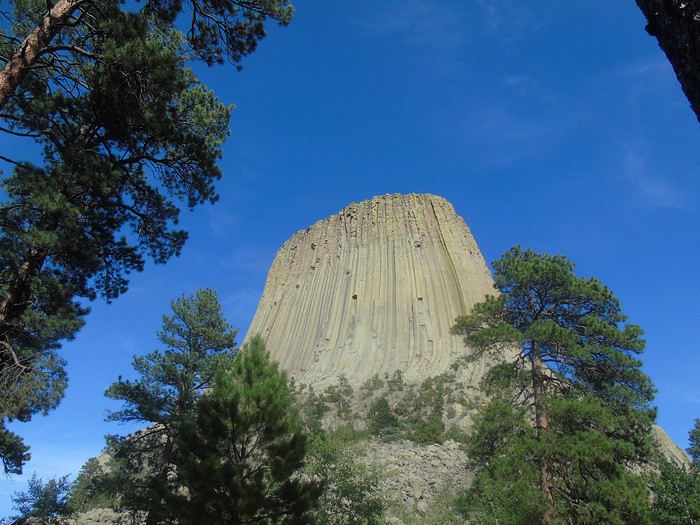
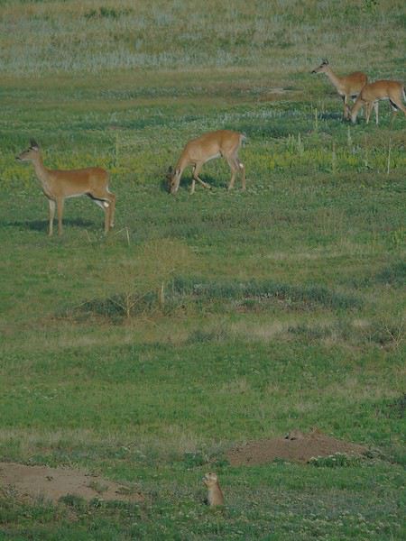
Recap of the day: some great discoveries and really different places, but way too much packed into one day. And we even missed a stop in the morning!!! Tomorrow’s looking just as long—hopefully, we’ll manage the timing better.
Our next stop will be Fort Laramie, a key stopover for pioneers following the Oregon Trail around the 1850s. Several important treaties with various Native American tribes were signed here. The fort was gradually abandoned starting in 1890.
Free entry, documentation in French available at the visitor center. A really interesting place where we spent a long time before the storm rolling in fast made us leave.
View of the plains:
New guard post (prison):
The captain’s quarters:
The surgeon’s quarters:
The store:
The cavalry barracks:
Night in Gering at the Cobblestone Hotel: a good hotel with a full breakfast, pool, and reasonable rates (99 €).
We really enjoyed Fort Laramie—such an interesting visit!
Thanks for this amazing travel journal!
Thanks for your message. We really enjoyed this visit.
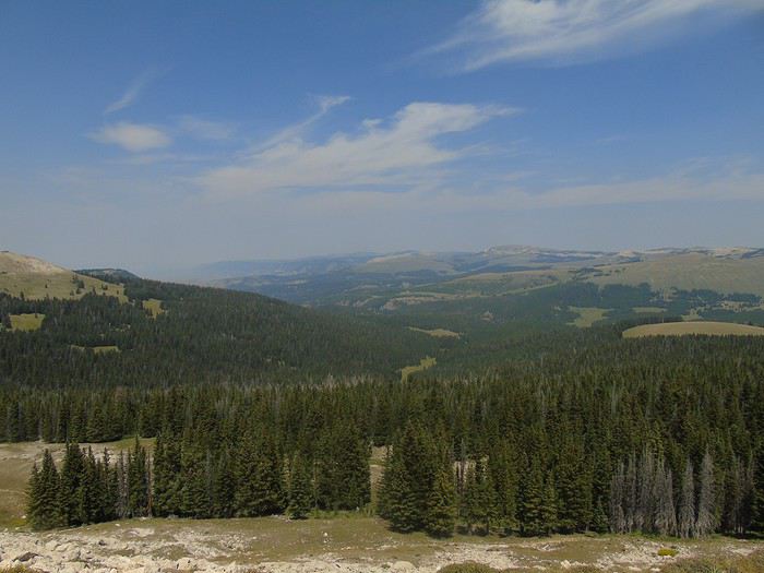
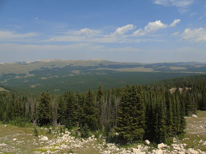
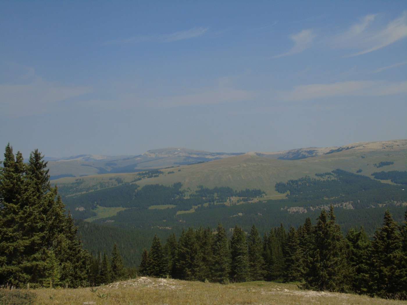
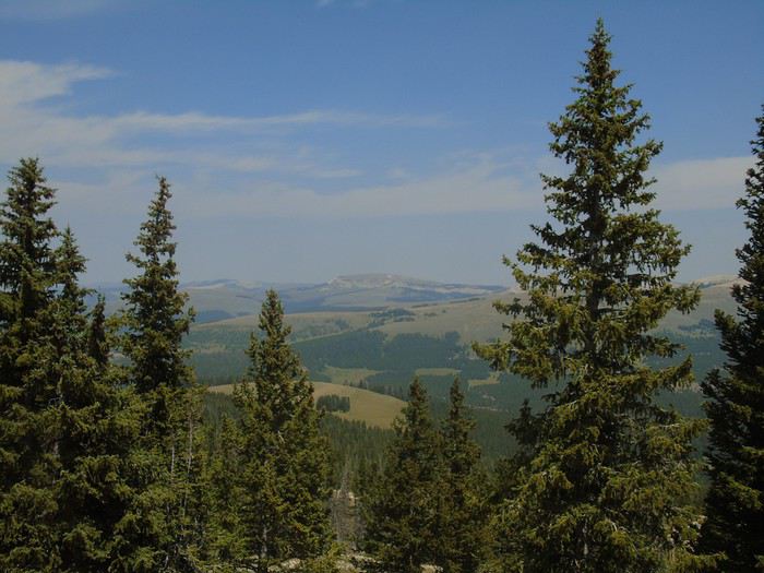
Day 8: another long day of driving (230 miles planned; we did 250 miles yesterday). After our daily stop for supplies at the Walmart in Sheridan, we take scenic route A14 through Bighorn National Forest. The landscapes are stunning. There are still patches of snow here and there.
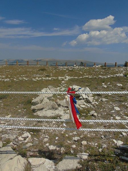
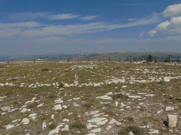
We stop at Medicine Wheel. At nearly 10,000 feet, it’s a sacred ceremonial site for Native Americans and is still in use today. The site is 79 feet in diameter and consists of 28 spokes.
A trail, which offers beautiful viewpoints despite the mist, leads to the site from the parking lot.
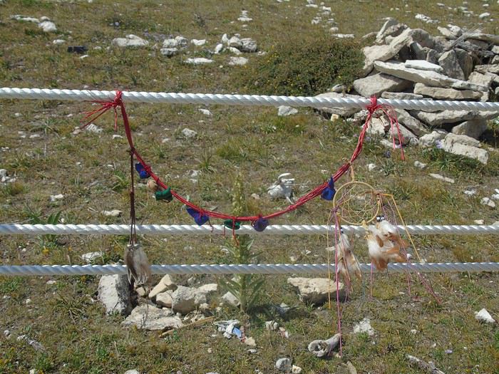
We spot several deer. Don’t forget that the site is at nearly 10,000 feet, which can make walking a bit more challenging. The circle must be walked clockwise. Many offerings are left inside, and pieces of fabric are tied around. While not overwhelming, this site leaves an impression and has a certain vibe—probably because we know it’s a ceremonial place.
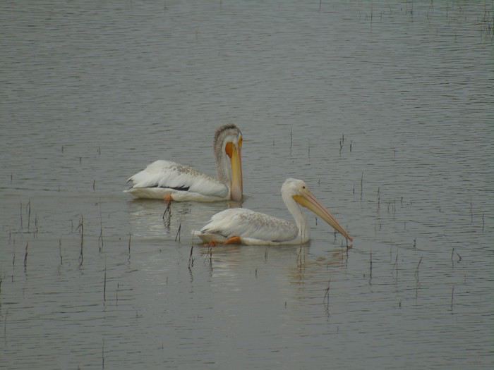
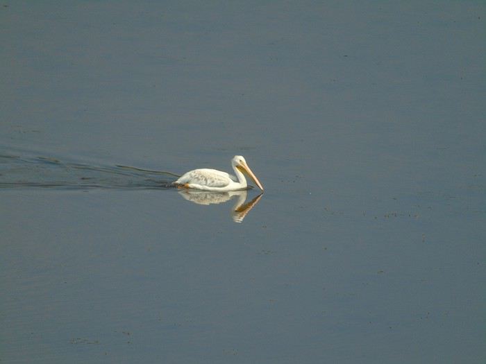
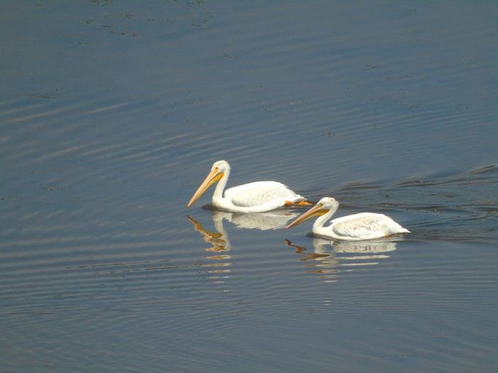
The road remains just as beautiful, with pelicans swimming peacefully on Bighorn Lake.
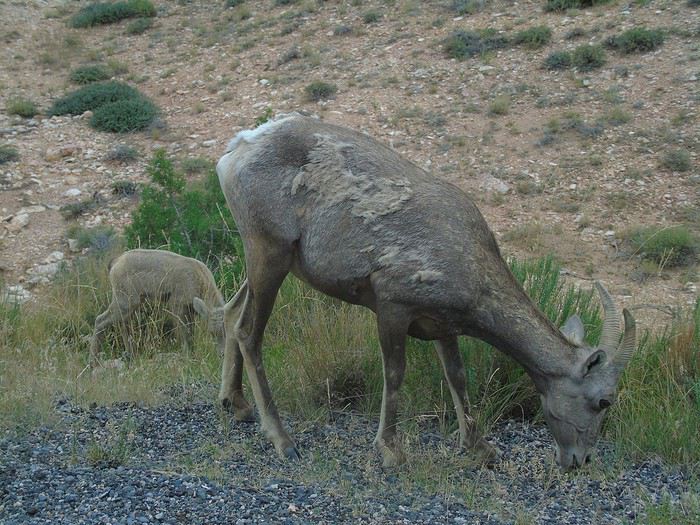
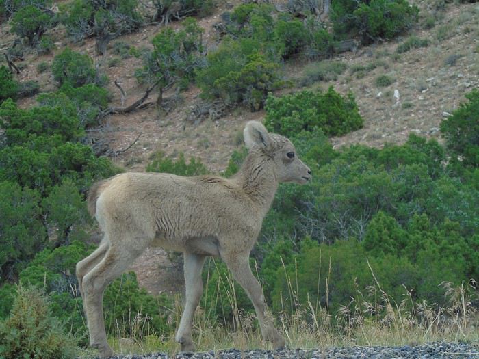
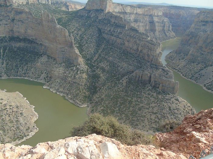
After stopping at the Visitor Center, we head to explore Bighorn Canyon. The sky has clouded over a bit—too bad. We spot a bighorn sheep mom with her baby by the roadside. It’s adorable. Stop at Devil Canyon Overlook: amazing! We continue driving, hoping to see wild horses. We come across a herd of bighorn sheep, but no horses in sight. We’re pretty disappointed. We head back the other way and do the State Line Trail. A very easy 1.2-mile round-trip hike that offers another view of the canyon.
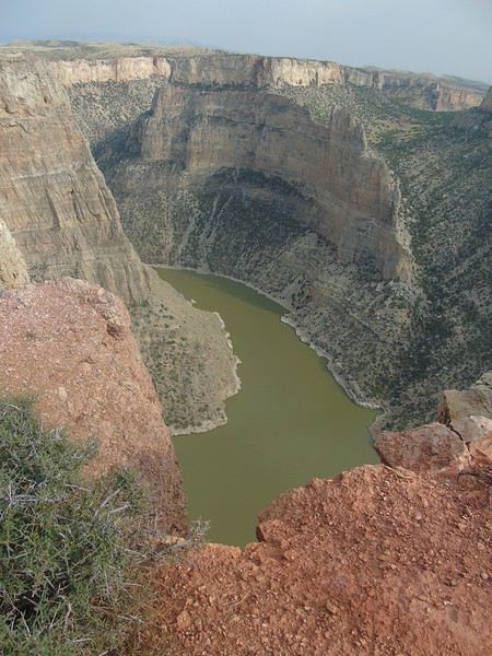
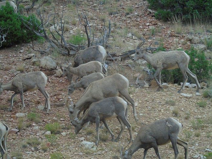
We leave the canyon feeling pretty bummed about not seeing wild horses—it definitely deserves a longer visit. That would’ve given us time to do other short trails and check out the arch, which I only found out about after our visit!
We hit the road again for a two-night stay at the KOA in Cody: a nice campground, well-equipped, with free pancakes in the morning.
Hello, glad you enjoyed the Frontier Days and SD. See you soon!
"Before you judge me take a look at yourself"
Children of Bodom
"On ne voit bien qu'avec le coeur, l'essentiel est invisible pour les yeux" (St Exupéry)
http://palomino34.blogspot.fr/ (blog encore au tout début...)
Congrats on your super detailed travel journal, especially the timing for visits—it’s always tricky to get a feel for that. Sometimes a simple place touches us more than expected, and we end up spending extra time there, which is totally fine!
We’ll be doing part of your itinerary in 2019, and you’ve got us dreaming!
Hi Chris,
All your detailed posts on the forum really helped us prepare for our time in SD, and we’re so grateful.
It’s a beautiful state.
Have a great Sunday,
Thanks for your feedback.
We try to plan visit times to estimate how long our days will be, but in reality, we’re often way off! It’s really nice to be able to take our time when, as you said, we’re struck by a place that initially seemed ordinary. That’s why we try to keep our stops not too long, but it’s not always easy. We’ll see at the end of our trip—we were a bit too ambitious!
Day 9: Rest day in Cody. Since the group wasn’t motivated to visit the Buffalo Bill Historical Center, which houses 5 museums, we had a relaxed morning with some sleeping in, swimming, soccer⚽, and chores/errands for others!
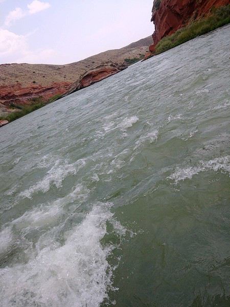
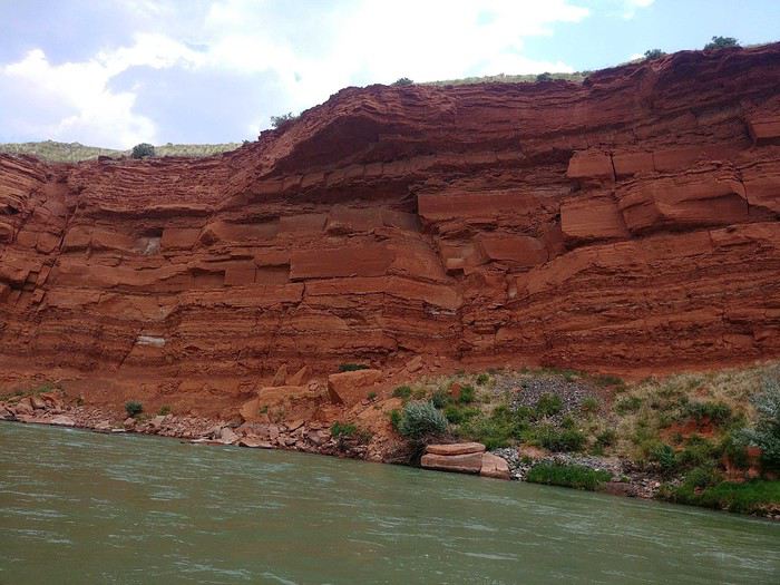
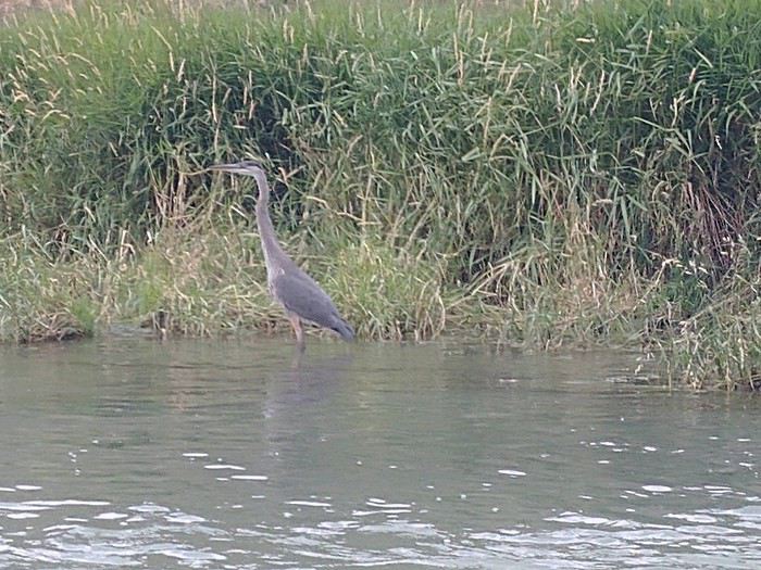
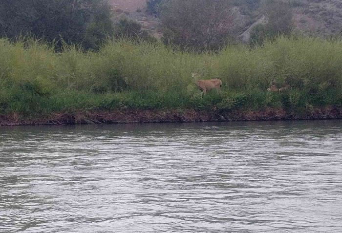
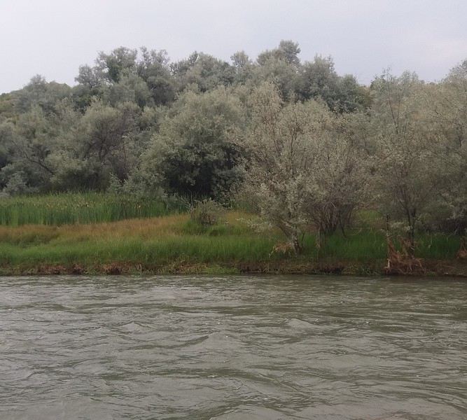
We left in the early afternoon for a rafting trip with Wyoming River Trip. We chose the longest route, "Red Rock Canyon and Lower," which is 12 miles for $48 pp. Most of the rapids are in the first section. The scenery was beautiful, especially the Red Rock Canyon. We saw several deer, great blue herons, and a pair of owls (not easy to spot in the last photo, center next to the bushes).
There were quite a few pretty intense rapids, and the guide had the youngest kids lie down on the side—they got soaked from head to toe! We all ended up pretty wet. The rafting trip was a lot of fun, and we really enjoyed it. The guide gave us lots of explanations about the rocks, landscapes, and animals, but we had a hard time understanding everything because of his strong accent.
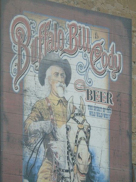
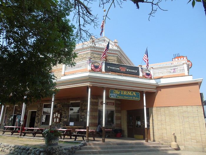
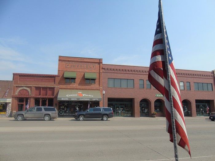
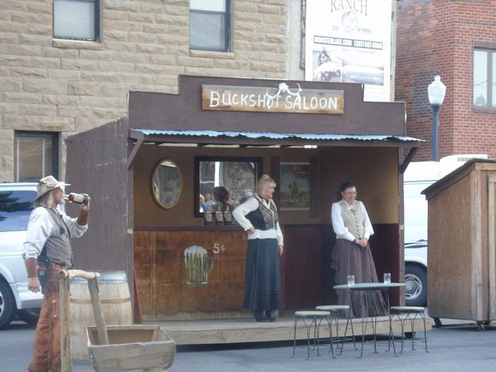
After changing, we explored Cody while waiting for *The Cody Gunfighters* at 6:00 PM in front of the Irma Hotel.
Apart from this building, the town has no charm. I was hoping to find the vibe of Deadwood, but I was wrong. As for the gunfighters, it was really kitschy and pretty mediocre.
We stopped by Walmart to save time the next morning and bought a Bear Spray ($29.90, which was $10 cheaper than in the park). Everyone laughed at the time, but opinions on its usefulness changed pretty quickly!
Verdict: We were disappointed with Cody—this town really didn’t win us over. It’s true we didn’t visit the Buffalo Bill Historical Center (which generally gets great reviews), the Old Trail Town (historic houses), or attend the rodeo, the three main activities in Cody. So why did we stop in Cody, you ask? Because I was expecting something different from this town—a vibe, a soul—that I just didn’t find. But also to have a relaxed day, which is nice during a packed trip, and to recharge before tackling the much-anticipated Yellowstone.
Thanks for this travel journal.
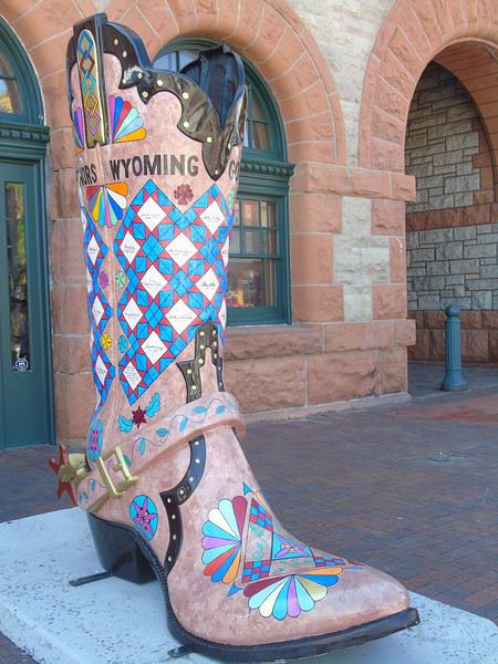
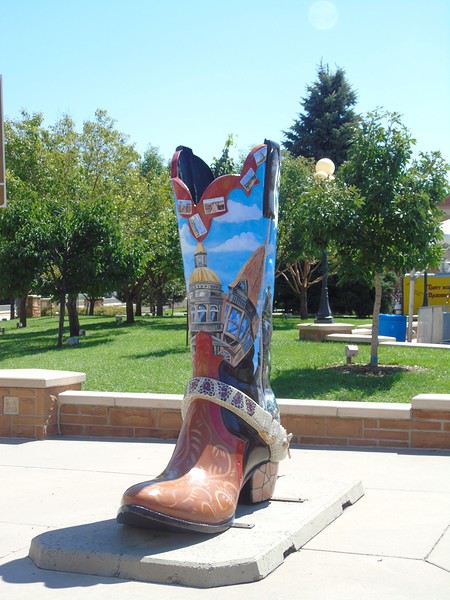
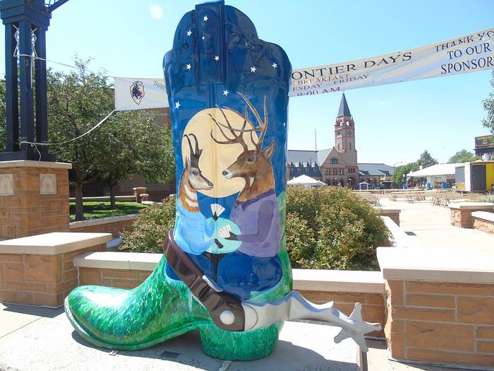
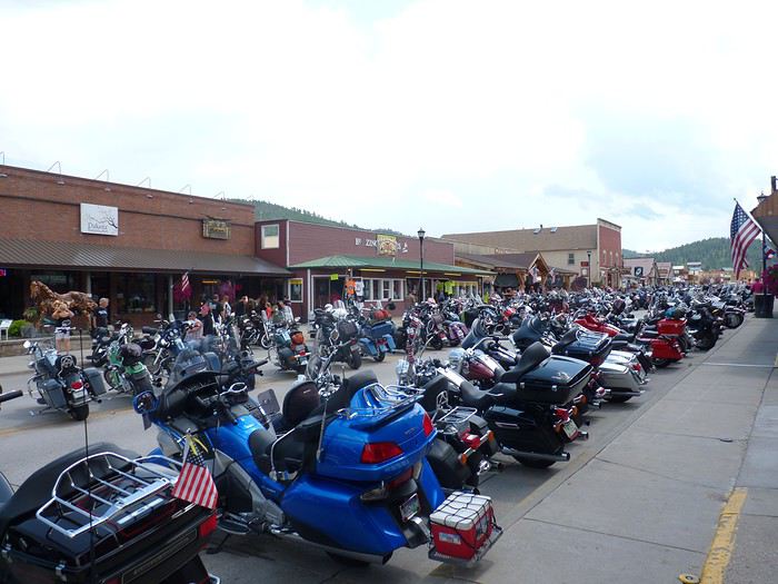
Your visit to Badlands NP brought back great memories for me, and so did the giant boots in Cheyenne. I loved the prairie dogs just as much as you did. We were also there during the motorcycle meet-ups. There’s really a special vibe around Cody and the Black Hills during the Sturgis rally. We ended up there by pure chance, and I loved seeing all those different motorcycles in Hill City.
I wasn’t familiar with Bighorn Canyon—it’ll be for another trip.
Of course, when you’re in the area, Yellowstone is a must... I’m really looking forward to seeing it through your photos.
But what I’m even more excited to read about is your account of:
Day 19: Dinosaur NM + Fantasy Canyon
Day 20: Dinosaur NM + Colorado NM
I’m actually planning to visit Dinosaur NM and Fantasy Canyon in February. We’ve already been to Colorado NM.
In Sturgis! We were there for Bike Week in 2015—okay, we’re bikers, sure, but it’s a stop that can be recommended to everyone. Those bikers are *cool*! Of course, Harleys *make noise* (to our ears, beautiful music 😛 😉 😏).
"Before you judge me take a look at yourself"
Children of Bodom
"On ne voit bien qu'avec le coeur, l'essentiel est invisible pour les yeux" (St Exupéry)
http://palomino34.blogspot.fr/ (blog encore au tout début...)
We were there for Bike Week in 2015—okay, we’re bikers, sure, but it’s a stop I’d recommend to anyone. Those bikers are "cool"!
We were there in August 2014.
It’s true that with their outfits, the bikers can be pretty intimidating, but when you talk to them, they’re really chill. I loved seeing all the amazing bikes I discovered.
Thanks for following along. Badlands NP was a real highlight for me.
At the pace I'm going, Dinosaur NM won't be happening anytime soon! But I'm tackling Yellowstone now.
Day 10: On the road to Yellowstone! A beautiful drive takes us to the east entrance. As we cross Sylvan Pass, a deer crosses the road right in front of us.
We head to the Fishing Bridge Visitor Center. This area is under construction, but it doesn’t cause any delays. We pick up some brochures, info on our first planned hike (Storm Point Trail), and the Junior Ranger program—the only park where they charged us for it ($3). We return to Indian Pond, the starting point for this hike. The parking lot is far from full, which is great. Off we go for our first taste of Yellowstone.
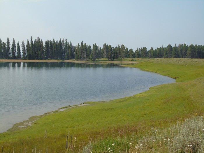
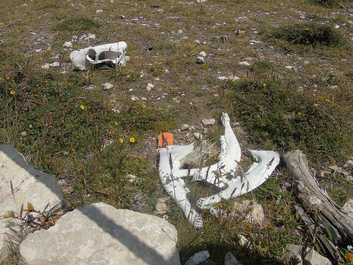
After a few hundred meters, we run into an American returning from his hike. He asks if we have bells to make noise (uh, yeah, but in the car) and bear spray. I *did* bring it, but we hadn’t removed the safety clip. He pulls out his pocketknife, removes it for us, and shows us how to use it. He explains there’s a huge carcass by the trail and bears are hanging around nearby. Weird—the ranger didn’t mention it or warn us about anything. Nervous much, sir? We see the carcass further ahead; not much left except the skeleton. The trail runs along the lake, offering beautiful views.
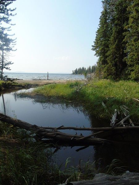
We pass a few hikers, many turning back at Storm Point, a really pretty viewpoint.
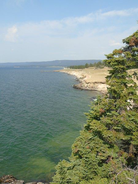
We decide to continue the loop, and the trail quickly heads into the woods. We talk loudly as a precaution. Suddenly, the sound of snapping branches and a growl stops us in our tracks. We freeze and instinctively huddle together, bear spray pointed toward the noise. Silence. We scan the underbrush but see nothing. After a few minutes, more snapping branches—then nothing again. We stay still for a while longer, then, still tightly grouped, we resume walking, making as much noise as possible (not hard with six of us!) and picking up the pace, bear spray at the ready. We’re relieved to see the end of the forest and emerge into the meadow. We’ll never know what it was, and that’s fine—but we all *definitely* heard that growl. In the end, everyone was glad I’d bought the spray, even though it had made them laugh the day before.
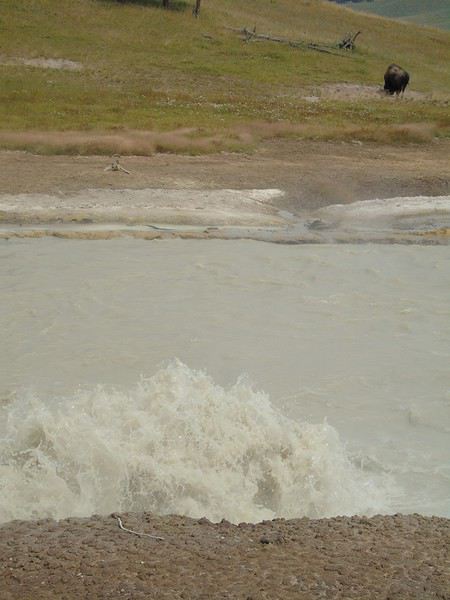
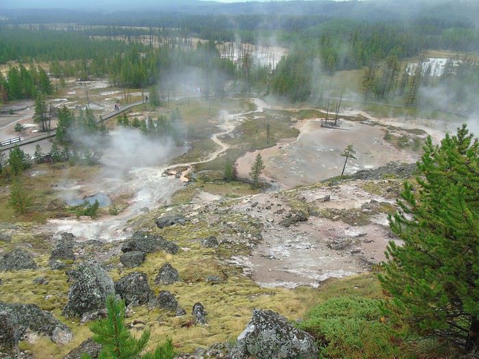
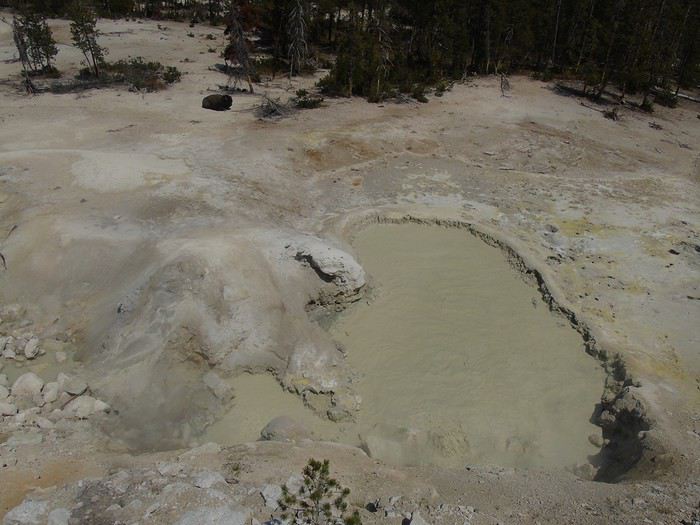
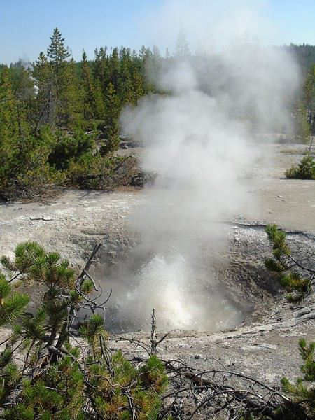
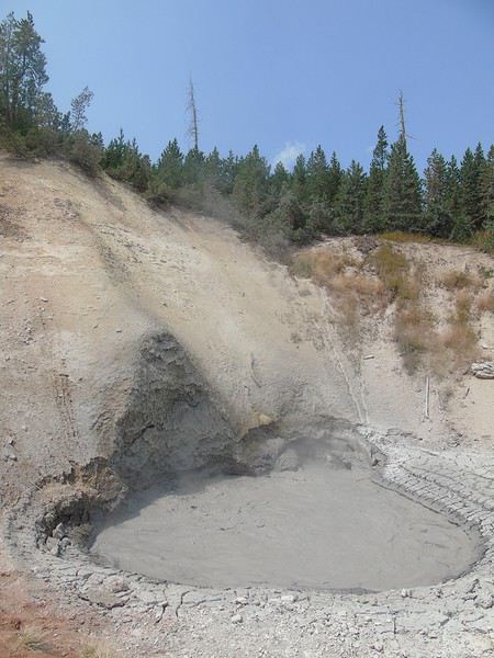
After this unforgettable first hike, we head to Mud Volcano, where a lone bison has taken up residence, seemingly unbothered by the smells. A boardwalk lets us explore this small site. A nice introduction to the park’s phenomena.
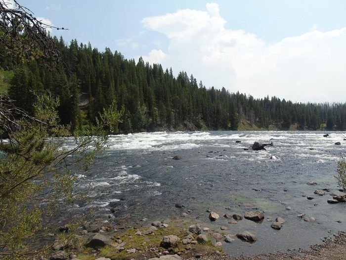
We have a late picnic at LeHardy’s Rapid, where we see very few people, before heading to West Thumb Geyser Basin, a much busier area.
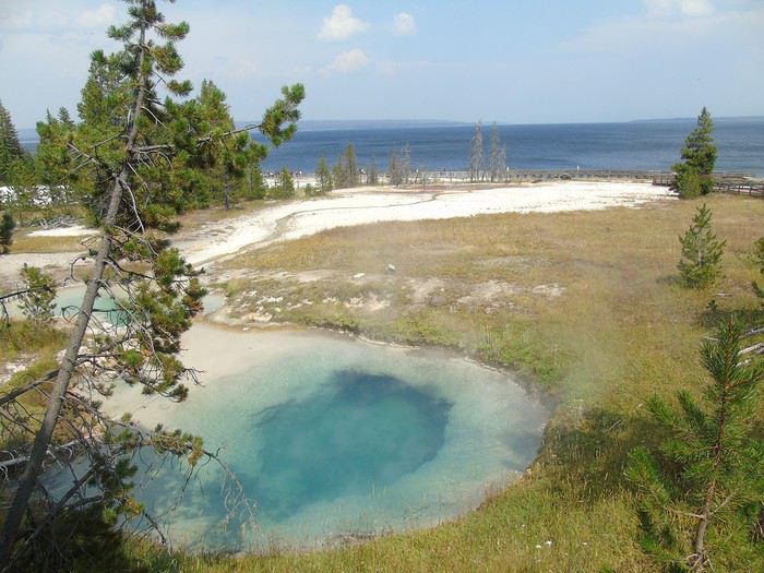
The parking lot is full, but we find a spot quickly. We start the 1 km loop around the site, always on boardwalks. The colors are stunning. There are quite a few Chinese tourists, but they’re no louder or ruder than other groups. We make room for them to take photos, and they do the same for us. Whenever they ask us to take their picture, they *insist* on taking one of us in return. We’ve never taken so many photos of the six of us on a trip!
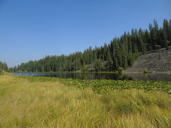
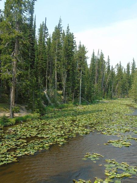
I’d planned to continue with the Yellowstone Lake Overlook Trail, but it’s getting late to start that hike. So we head toward Old Faithful, where we’ve booked cabins for two nights at Old Faithful Lodge. We stop along the way at Scaup Lake, by the roadside and covered in water lilies, and at Kepler Cascades, which are quite pretty.
When we arrive at the Old Faithful site, its eruption is imminent, so we go admire it, along with a big crowd. Then we check into our two cabins—three people each, no bathroom but with a sink. They’re adjoining and form a single block. Great accommodation, quiet, very clean, and not too expensive (102 € per cabin). The restrooms are nearby, and there are picnic tables available (cooking in the cabins is not allowed).
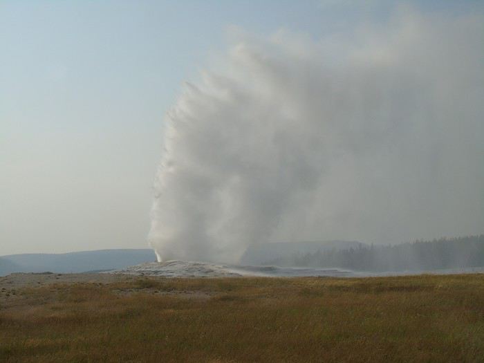
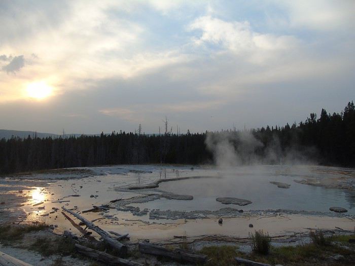
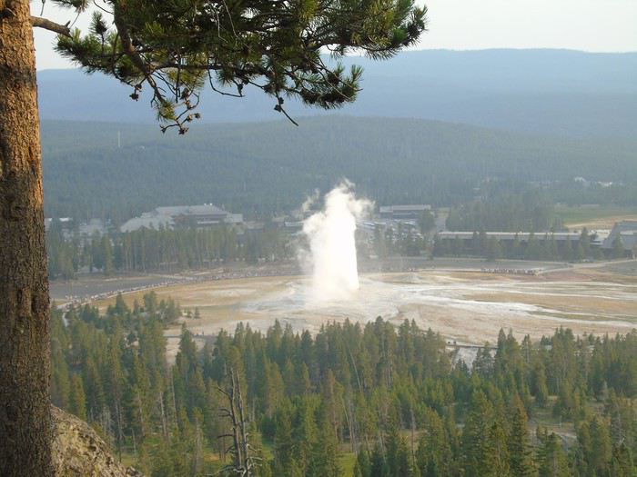
We head back out at the end of the day to see another Old Faithful eruption from Observation Point Trail. Not many people around, and it’s a beautiful show from this viewpoint. We continue to Solitary Geyser, stunning with the sunset. A peaceful hike, far from the crowds, about 4 km long.
No worries about Dinosaur Monument—I’ll skip that park after all since it’s not exactly ideal in winter. I’ll focus on Arizona and Utah instead, which are harder to visit in the summer.
I’m calmly following your travel journal. No stress! 😏
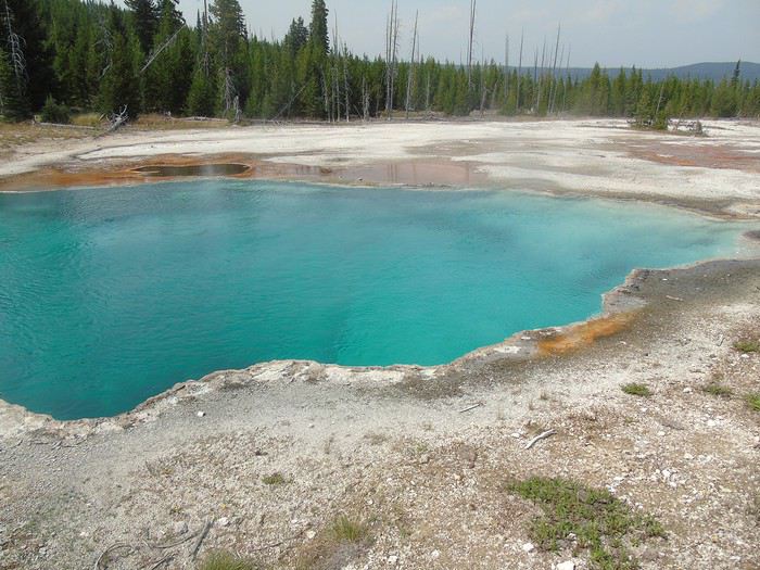
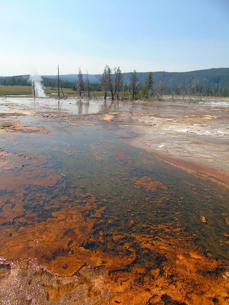
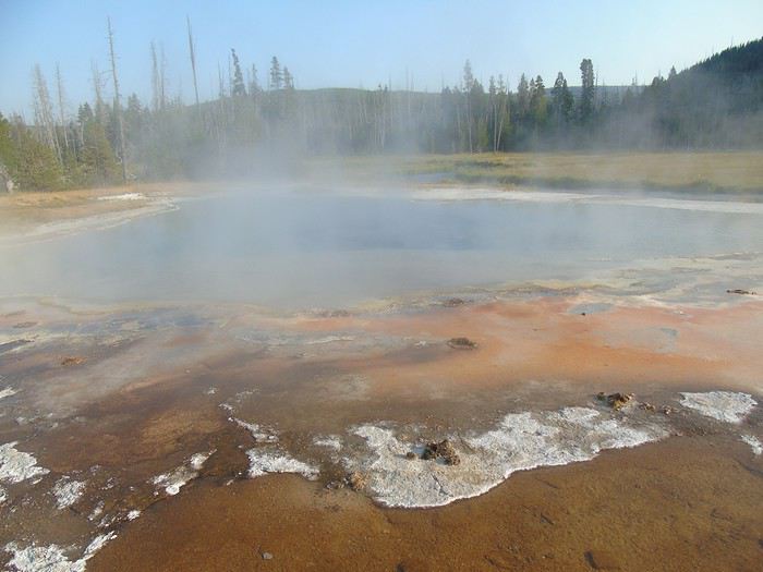
Day 11: Quick stop at the Visitor Center to note the estimated geyser eruption times, and we head to the boardwalks in the Upper Geyser Basin for a walk of about ten kilometers. It’s very peaceful, the weather is gorgeous, and the colors are stunning—almost surreal.
We watch Old Faithful erupt from the boardwalks. It gives us a different perspective.
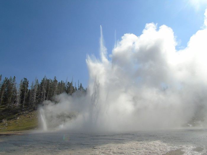
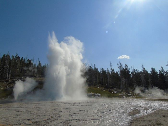
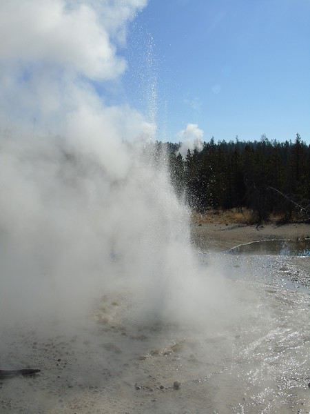
After waiting for about thirty minutes, Grand Geyser, along with Turban and Vent Geysers, erupts. It’s magnificent—totally worth the wait.
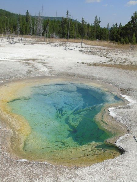
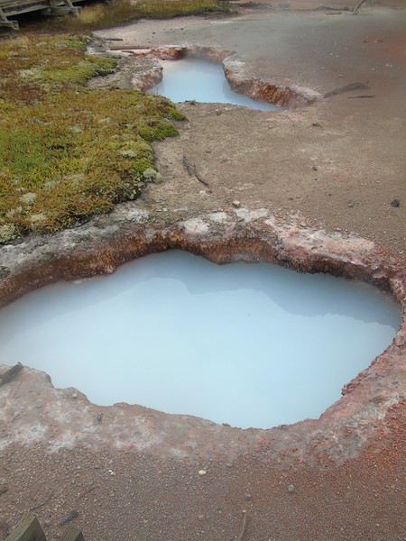
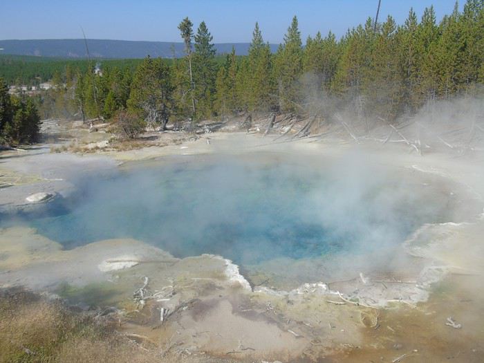
We continue our walk, skipping Riverside Geyser since we hope to see its eruption on the way back. We reach Morning Glory Pool—what incredible colors!
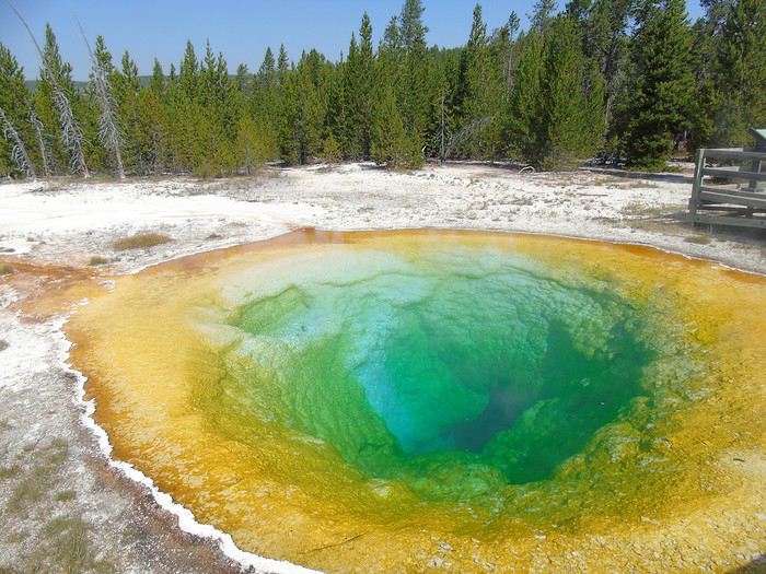
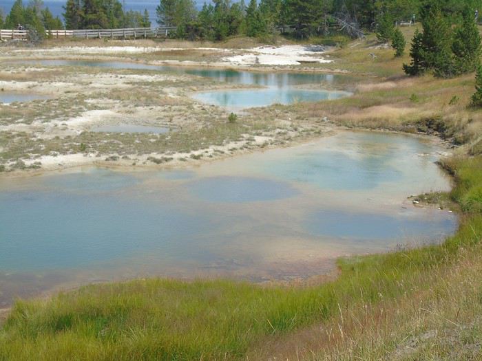
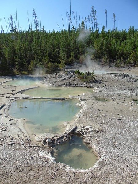
We decide to walk all the way to Biscuit Basin. We don’t encounter anyone on this stretch, even though the path is lovely with beautiful blue-colored pools. We have a picnic alone in front of Artemisia Geyser.
Tour of Biscuit Basin, where there are more people—the parking lot is full, and cars are waiting for spots.
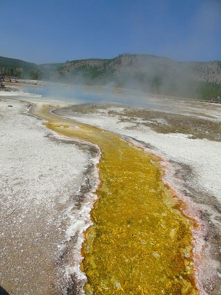
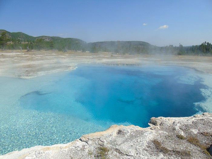
Sapphire Pool is gorgeous—more stunning colors.
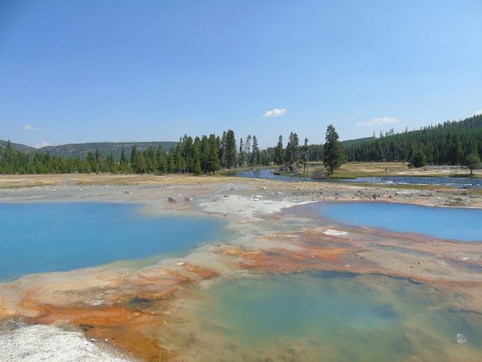
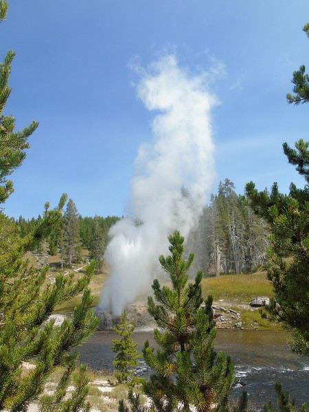
Back in the Upper Geyser Basin, after waiting a few minutes, we witness Riverside Geyser erupt. A beautiful geyser by the water in a lovely setting.
Grotto Geyser erupts as we pass by. Nice!
We wanted to go all the way to Black Sand Basin (about 3 km round trip), but once again, we went way over the time we’d planned for this loop. So we’ll go later by car.
We stop at the Old Faithful Inn, whose all-wood interior is well worth a visit.
After a quick stop at our cabin, we head back out by car to do the Firehole Drive, a one-way loop (south/north) of 3 km. Unfortunately, we don’t get to see Great Fountain Geyser erupt. We only see White Dome Geyser, which erupts very often but isn’t very impressive.
Still, it’s a beautiful and not-too-crowded loop.
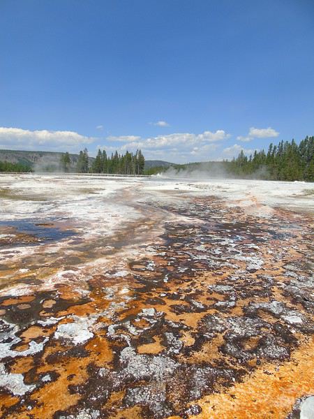
The end of the loop leads to Fountain Paint Pots, where we stop. A small 800-meter loop—steam, bubbling, and always those gorgeous, translucent colors.
More to come in the next post—maximum number of photos reached!
Suite J11: Our next stop is at Midway Geyser Basin. There are a lot of cars parked along the road. Despite the late hour (6:30/7:00 PM), the parking lot is full, and we wait a little while to find a spot.
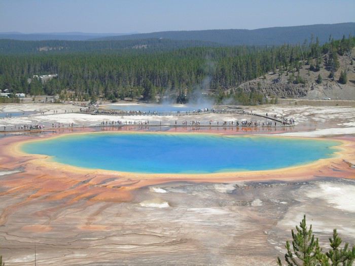
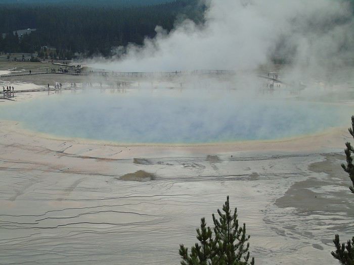
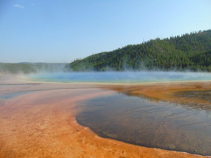
The star of the place is Grand Prismatic, but there’s quite a bit of steam that keeps us from fully appreciating the colors.
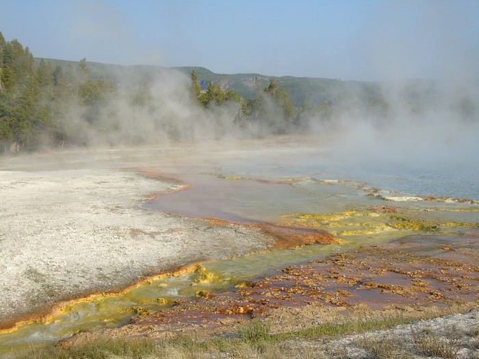
Our last stop of the day is at Black Sand Basin.
After a full day, we decide to grab dinner at Old Faithful Basin Store. The burgers and fries are average quality but not too expensive for the area.
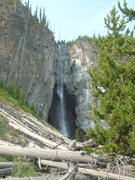
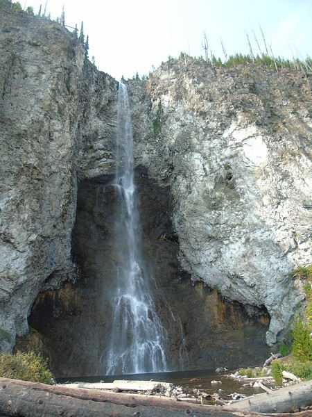
J12: Early start for the Fairy Falls parking lot. Not many people around—one of the perks of being there early. An easy 8 km round-trip hike to the falls. We have the place to ourselves; a few people arrive shortly after. This hike is lovely, far from the crowds, leading to a 60-meter waterfall.
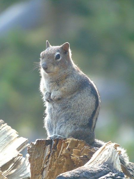
Lots of bold chipmunks around.
Thunder rumbles, and the sky darkens quickly, so we decide not to go all the way to Imperial Geyser, which we can see from a distance.
We turn back and head up to the platform to admire Grand Prismatic, even though we planned to return—you never know. With this weather, the colors are really dull.
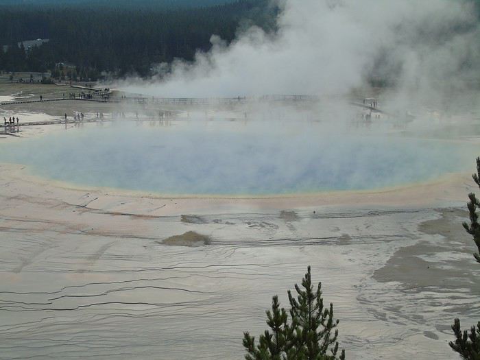
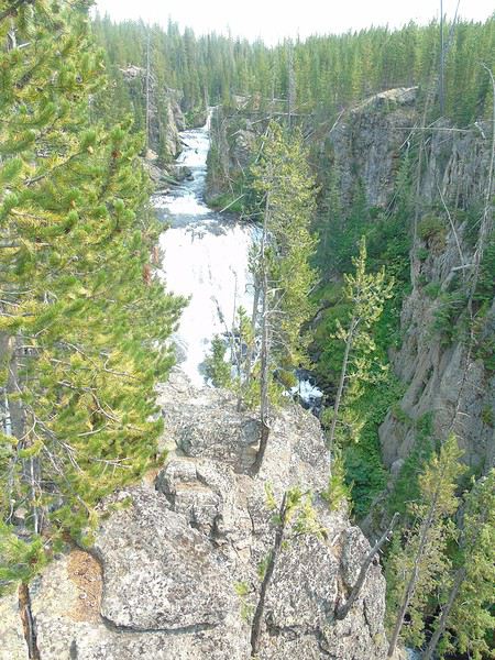
Rain, then hail, hits us before we can make it back to the car. Everyone’s running along the trail, and we arrive soaked. After waiting a while for the storm to calm, we hit the road again. The rain eases up, and we make a quick stop at Gibbon Falls. Meh.
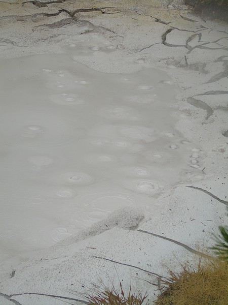
We try Artist Pain Pots—the parking lot is full despite the weather, but we don’t wait long to park. After picnicking in the car and catching a break in the clouds, we do the 1.8 km loop. Another easy and pleasant hike, even with a slight incline. It’s still really beautiful, with several mud pots.
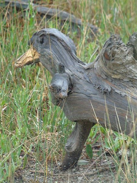
A funny-looking duck...
The rain picks up again as we head back to the car. Since we still have a few days in the park, we decide to head straight to our hotel in Gardiner.
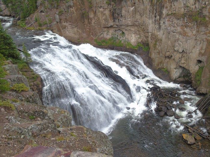
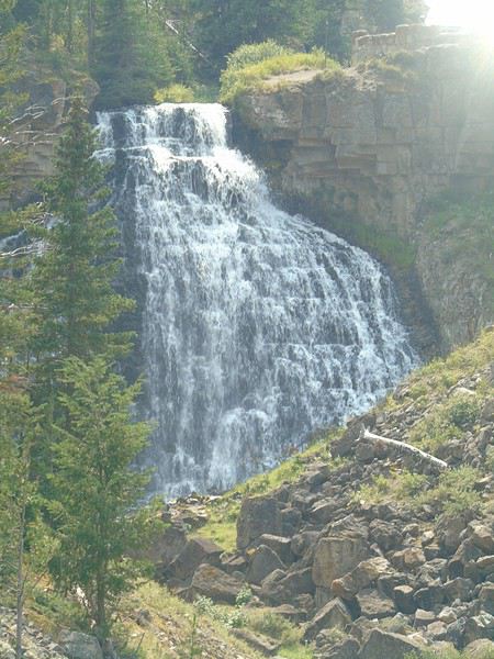
The sun comes back out—the weather changes so fast! We stop at a pretty waterfall along the way (I can’t remember its name).
We drive through a big construction zone. It’s Sunday, so the road isn’t closed, but everyone’s driving slowly because of the road conditions after the rain.
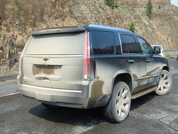
The car after the construction zone...
There are some nice viewpoints before reaching Mammoth Hot Springs.
We stop at the visitor center to get info for tomorrow’s plans before arriving in Gardiner. We’re staying at the Super 8: nice room, indoor pool, simple breakfast, and a supermarket right across the street. It’s the cheapest hotel we found in the area, but it still cost 198 €! The kids are happy to have Wi-Fi again...
Day 12: back at Mammoth Hot Springs. At this early hour, we spot several elk along the road.
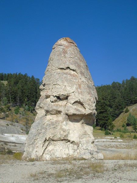
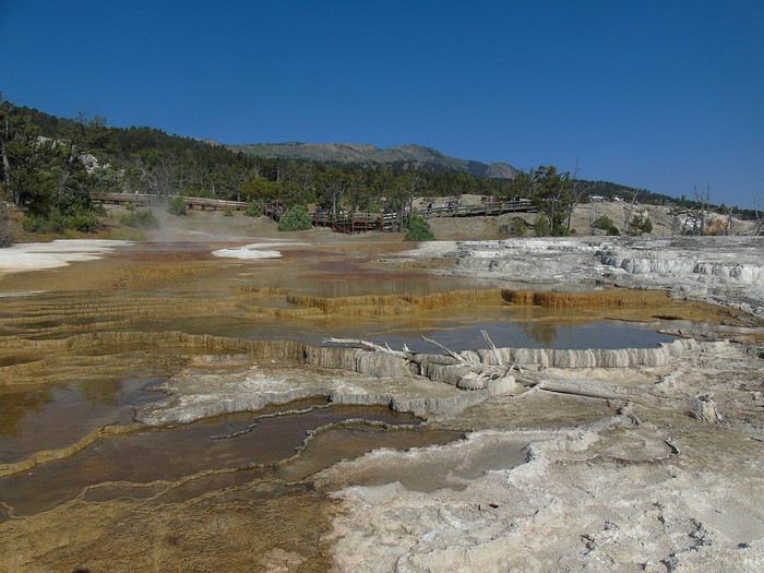
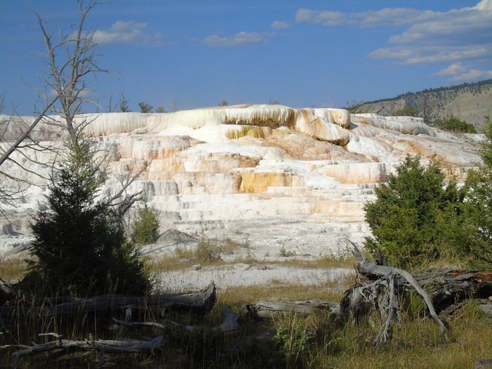
We start at the Lower Terraces Area in front of Liberty Cap.
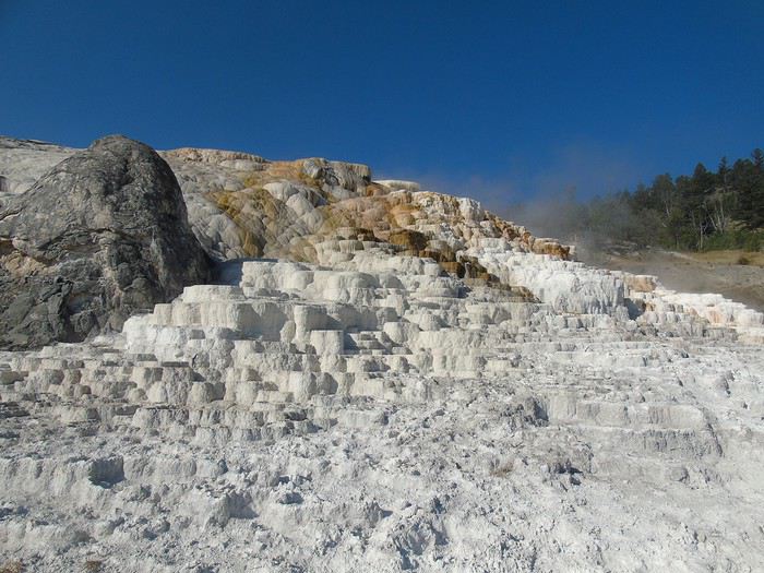
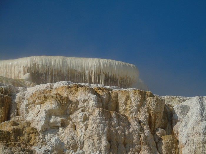
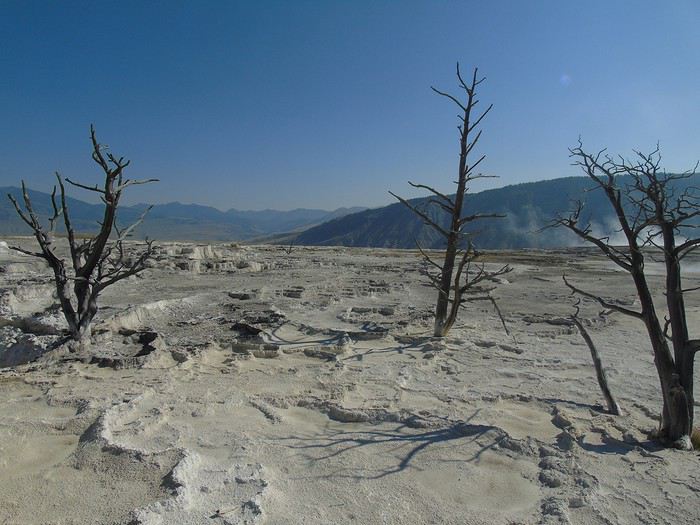
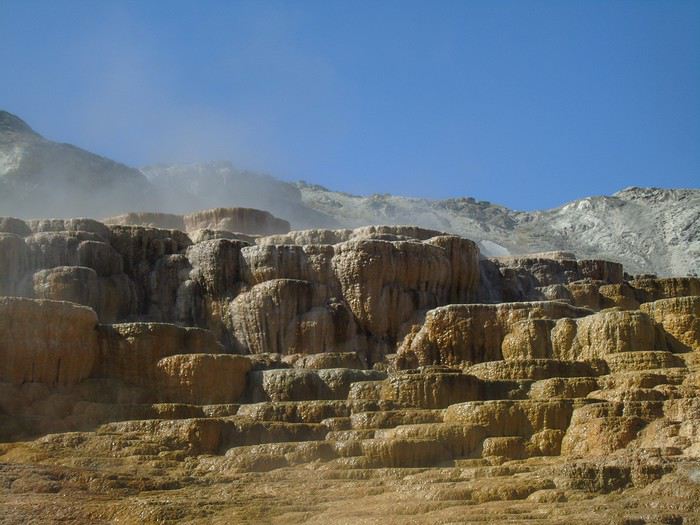
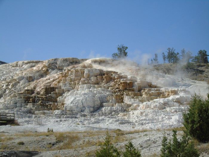
I’m completely blown away—it’s so beautiful! The white limestone against the blue sky with the sun sparkling on the flowing water is simply stunning.
Hard to believe some people are disappointed by this place. All the conditions are perfect: glorious sunshine, flowing water, and hardly anyone around at this early hour.
That’s really the advantage of staying as close as possible to the tourist attractions.
Once again, we end up spending way more time there than planned. I could easily spend hours just soaking in these landscapes—they’re that mesmerizing. But my kids pull me away if I linger too long!
Next up is today’s hike, the Beaver Ponds Loop Trail, a roughly 9 km loop starting near Liberty Cap. The beginning isn’t straightforward—several trail intersections with no signs.
The rest of the trail is well-marked. As always, having the paper map of this hike helps us stay on track. This relatively easy walk—even if it climbs quite a bit at first—takes us through some gorgeous scenery and past several lakes.
We don’t see many animals: 2 beavers (?) that scurry away when they hear us, some ducks, and a male elk (or deer).
We only cross paths with one couple doing the loop in the opposite direction. A peaceful picnic by the lake, just the four of us. Pure bliss. I highly recommend this lovely hike if you have the time.
Back at Mammoth Hot Springs, we grab a good ice cream and head to Boiling River for a dip in the hot springs. Lots of cars parked along the road, but we find a spot right away in the second parking lot. And the crowd! So many people on the trail leading to the springs, but not as many in the water in the end.
We find a spot and soak for a good while. It’s really nice, even if the water temperature swings from freezing to boiling at times. This time, it’s the kids who dawdle and don’t want to get out!
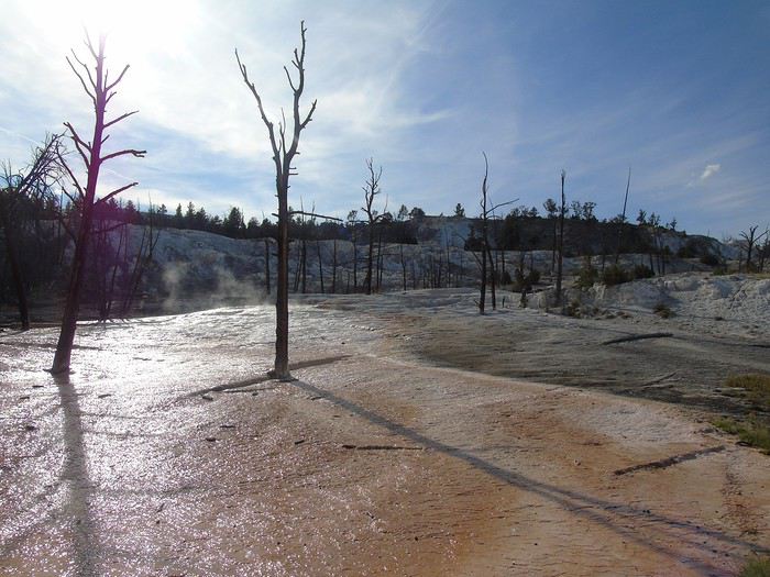
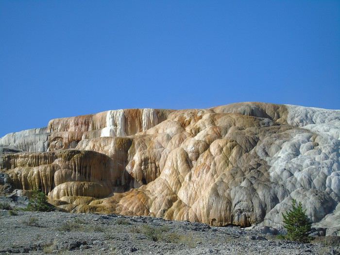
We get back in the car and drive the Upper Terrace loop. It’s not as stunning as the Lower Terrace, but still worth it. Too bad it’s by car—it loses some of its charm.
Needless to say, given the time, today’s planned stops along the road to Roosevelt Lodge are scrapped! No big deal—we’ve still got several days ahead.
A pronghorn strolls peacefully through a meadow.
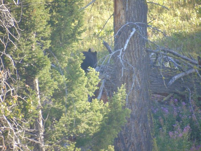
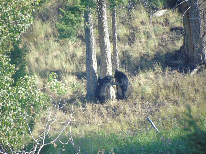
A crowd makes us stop. We “park” the car along the road. A bear and her two cubs are on the hillside. The cubs nap, then try climbing a tree—learning is tough! Mom stays hidden in the bushes.
We settle into our cabin at Roosevelt Lodge for 3 nights: a 6-person cabin with no bathroom, clean, comfy beds, and a very reasonable price (145 € per night).

An absolutely perfect day in every way, ending with a bear and her cubs. What more could you ask for!
Hi Laurence,
I started your travel journal today, so I’ll be following along!
Kudos for packing the car—we also had an Escalade, but with four people it’s still easier to fit the bags! ;)
You didn’t seem to have much luck with the weather in several spots, but luckily it didn’t last and didn’t stop you from enjoying the places!
Can’t wait for the next part!
Hello Laurence!
Yellowstone really brings back our amazing memories from this summer😎.
I’m still blown away—it’s so beautiful! The white limestone against the blue sky with the sun sparkling on the flowing water, it’s simply stunning. Hard to believe some people are disappointed by this place. But you’ve got to admit, everything came together perfectly: glorious sunshine, water everywhere, and hardly anyone around at that early hour..
Yes, exactly!
Staying right near the main attractions is such a huge advantage.
Once again, we’re making the most of our visit time. I could honestly spend hours just soaking in these landscapes—they’re so breathtaking. But my kids pull me out of my trance if I linger too long!
Same here—I could stay for hours in front of a view that moves me... and just like yours, my son eventually snaps me back to reality😉
After finishing my travel journal, I started putting together the photo album... can’t wait to get it!😉
More to come soon
Ouest américain : road-trip multigénérationnel : https://voyageforum.com/v.f?post=7117430;#7117430 - tête-à-tête mère-fils, avril 2017 https://voyageforum.com/v.f?post=8104174;#8104174 - De Yellowstone à Disneyworld juillet 2018 https://voyageforum.com/v.f?post=9104079;a=9104079
Thanks for following along on our trip!
It’s definitely a joy fitting everything for four into the Escalade!
Weather’s one of those travel factors that’s out of our hands—gotta roll with it and adapt. No way we’re letting it get us down!
But yeah, a bright blue sky *does* make everything better, and the landscapes just pop.
More to come soon!
Given the quality of the photos in your travel journal, I can see why you’re eager to get your albums. For my part, I just print the photos and make albums the "old-school" way. With the kids, we love looking through them—it usually brings back great memories.
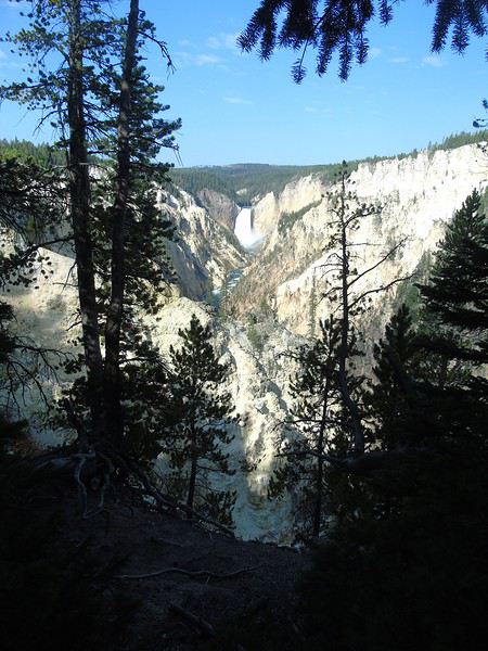
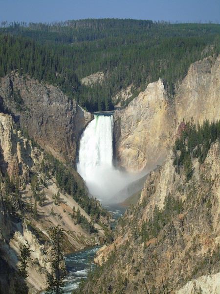
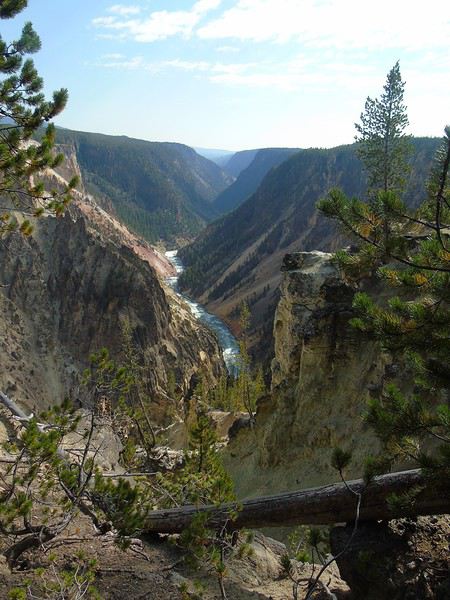
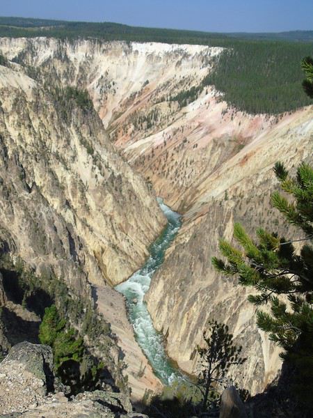
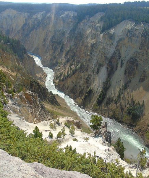
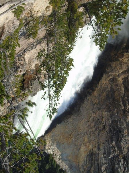
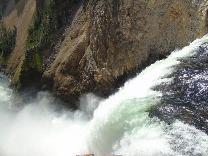
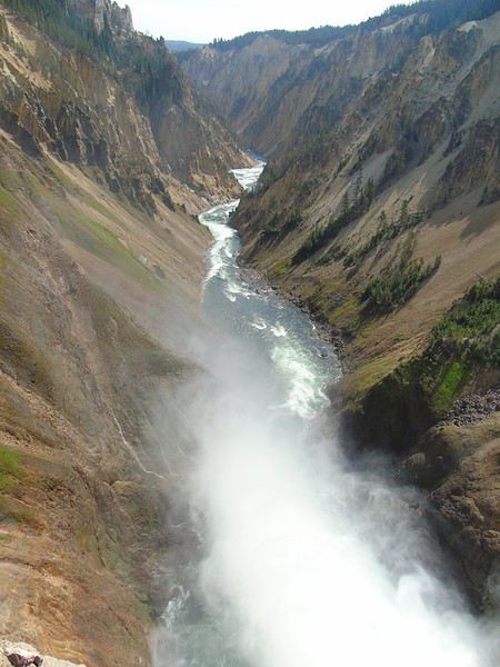
Day 14: On the road to the canyon area. We start bright and early at the South Rim. The entire Uncle’s Tom section is closed. We head to Artist Point, which offers a beautiful view of Lower Falls. Not many people in the parking lot. Quick tip: park near the exit to avoid getting stuck when leaving because of cars waiting for a spot.
We take the walk to Point Sublime. It’s true that this viewpoint isn’t the most stunning. An easy 3.8 km round-trip hike. As usual, we take our time…
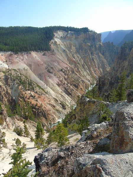
We wanted to continue to the North Rim, but cars are lined up all the way from the road… We’ll come back tomorrow.
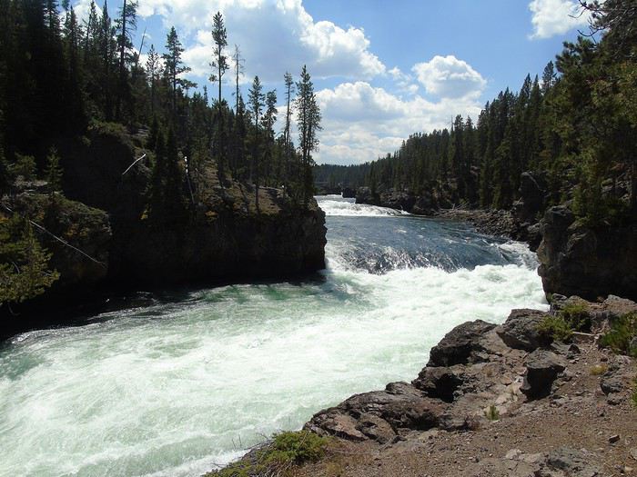
We stop at Brink of Upper Falls—the parking lot is full, but spots open up pretty quickly. A short walk to the falls. Nothing exceptional.
We head out calmly, stopping at viewpoints with lovely panoramas. At Dunraven Pass, one of my kids realizes they’ve got signal, so all the phones come out, and the stop drags on… For once, I get to enjoy the scenery in peace.
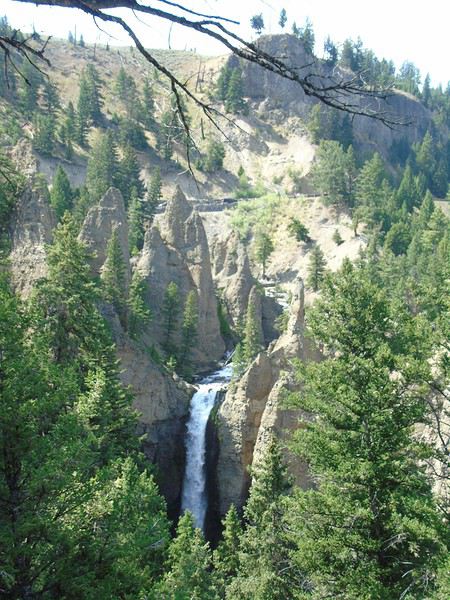
The Mount Washburn hike is closed for maintenance. We stop to see Tower Falls. A pretty 40-meter waterfall just 200 meters from the general store parking lot, but you can’t access the base anymore. There’s a path that seems to go down to the Yellowstone River, but no one’s motivated, so we don’t go down.
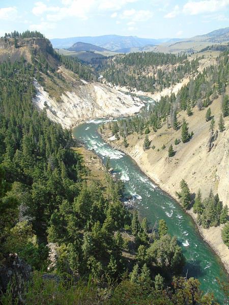
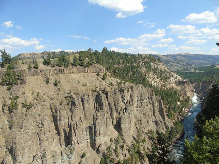
Just 2.5 km later, Calcite Springs Overlook is definitely worth a stop. The calcite springs are right by the river, and on the other side, you can see basalt columns.
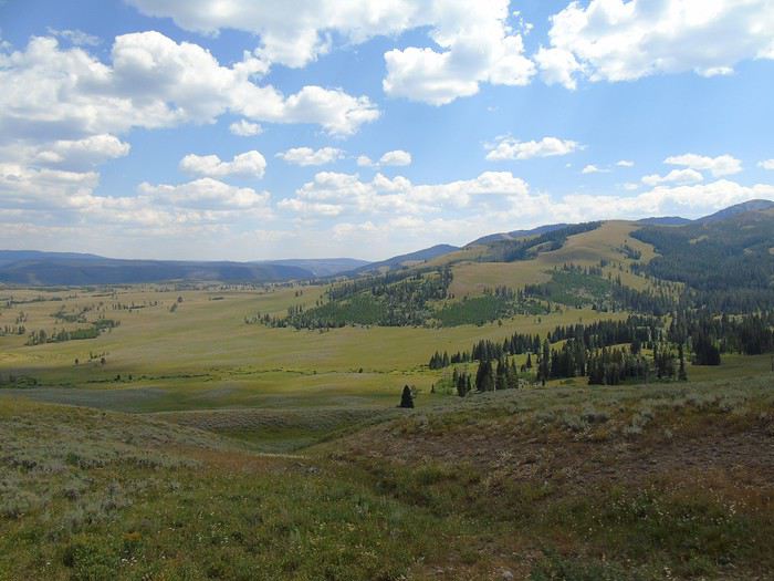
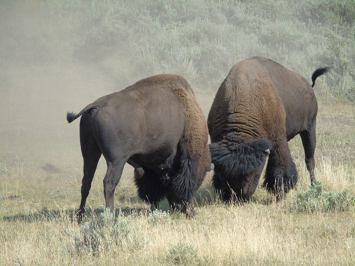
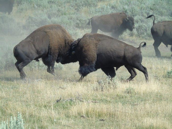
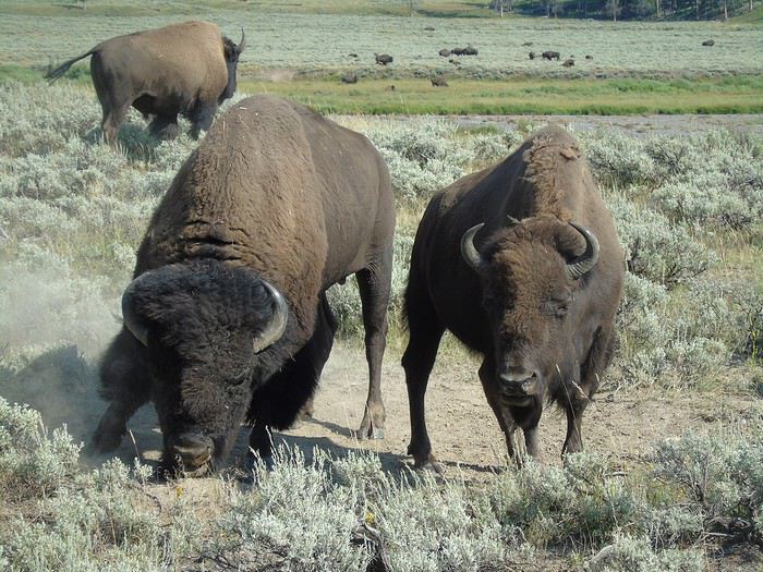
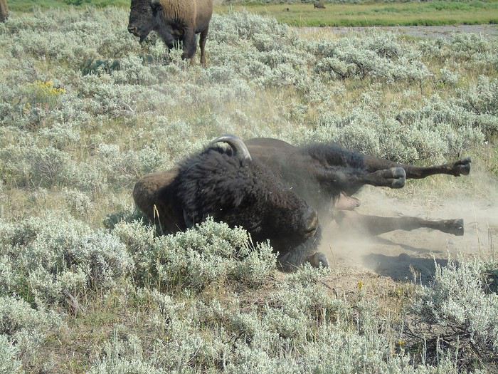
We then drive through Lamar Valley. Hundreds of bison are in the meadows. We witness a fight between two of them—dust flying everywhere—it’s impressive. A big bison, who seemed to be sleeping, suddenly gets up and breaks them up. The two bison pretend to walk away, but one chases the other (and bison can run fast!), and they start fighting again even harder.
Is he going to charge us? No, he’s just scratching the ground before rolling in it.
We do the Trout Lake loop—a nice 2 km walk around a pretty lake. No trout in sight, but there are ducks and some kind of geese with their chicks, who get pretty aggressive when you pass by. A nice, peaceful hike, far from everything. Very relaxing.
We drive to Cooke City, a tiny village at the northeast entrance, then head back through Lamar Valley. We spot a herd of pronghorns right by the road. They’re not scared of cars or bison.
Hi Laurence,
How on earth did I miss your travel journal? I don’t get it… But here I am now. I just read everything in one go. I love reliving all these places.
I’m discovering Cheyenne in the sunshine, and it’s so different from what we experienced.
Wow! The bison in the Badlands! They were much closer to you than they were to us. These landscapes are among my favorites from this trip too. It’s a shame the park is so out of the way compared to the others. I’m not sure I’d go back.
I see you had the same impression as we did about Fort Hays. I wouldn’t recommend going out of your way to see it.
You two were *so* lucky with the bison. It’s like you attract them! For us, in Custer, they were pretty far away. Goes to show—just a few days apart, and you can see totally different things.
Sylvan Lake and the Needles in the sun… it makes me *really* want to go back.
You were also super lucky with the wildlife (except for the wild horses—seems like they were playing hard to get this year). Lovely bighorn sheep in different spots, a gorgeous mountain goat, tons of antelope, deer, pelicans on the lake…
And then Yellowstone (funny, we’re at about the same point in our stories). It’s always so beautiful to see—and to see again. I never get tired of it. You guys do some amazing hikes. Those cubs are adorable. What luck, once again.
Hey, were the animals *really* that close to you (again, the bison at Yellowstone seem close), or do you have a good zoom lens?
Thanks for sharing and for the gorgeous photos.
Looking forward to the rest!
Françoise.
So glad my story brought back good memories for you!
My camera is nothing special, but the bison were *right* there—often between the cars. We could’ve touched them several times just by rolling down the window. We really wanted to, but common sense won out, of course!
We were definitely spoiled—not by the sometimes-fickle weather, but by the wildlife. And the best part? It’s not over yet!
Day 15: This time, we tackle the north side of the canyon (parking half-empty—nice!) with our first viewpoint from Overlook Point.
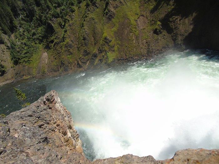
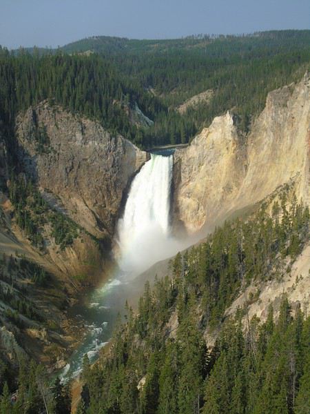
We head down to Red Rock Point (about 1 km, 150 m elevation change). Gorgeous—a beautiful rainbow forms at the base of the waterfall. The climb back up is pretty steep, but it’s definitely worth seeing.
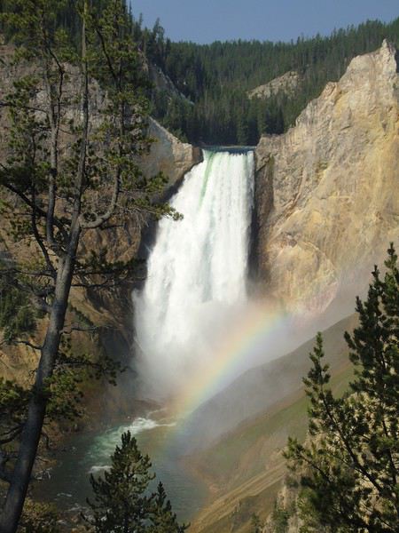
We meet up with Brink of the Lower Falls (just over 2 km for 180 meters of elevation change) via the North Rim Trail, which offers some lovely viewpoints.
We spot Upper Falls in the distance—way more impressive from here than from Upper Falls View.
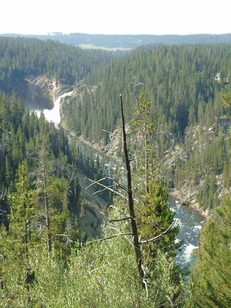
From Brink of the Lower Falls, the return trip is also pretty steep. The view is completely different since you end up on a platform overlooking Lower Falls. Worth seeing, but I much preferred the view from Red Rock Point.
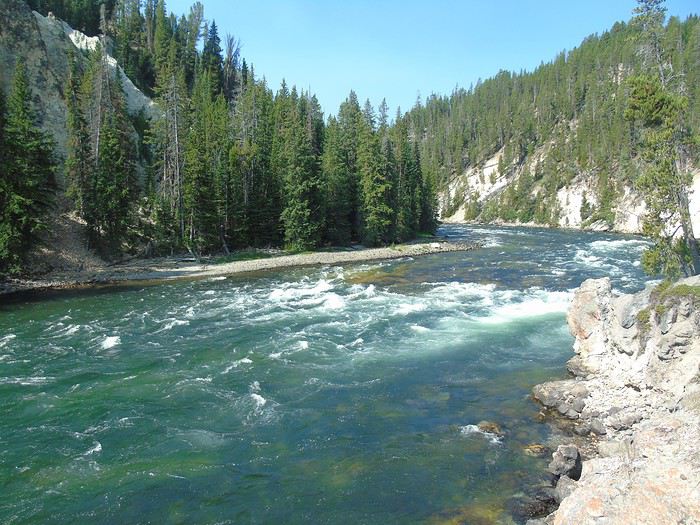
We probably should’ve done these hikes in the opposite direction to enjoy them more. We take the North Rim Trail back to Grand View.
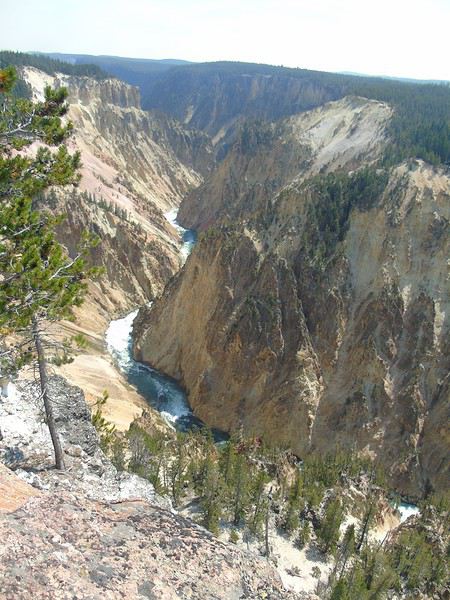
The rest of the trail is closed for construction.
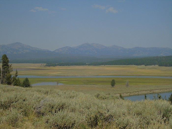
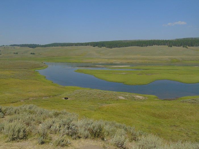
After a break at the Visitor Center, we head toward Yellowstone Lake via Hayden Valley. More stunning landscapes.
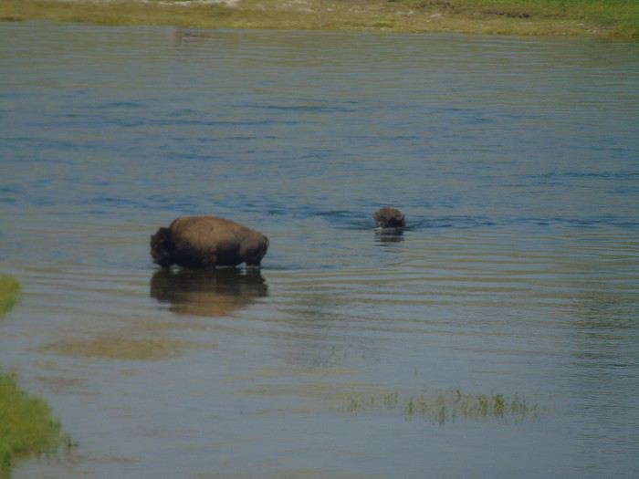
We watch two bison crossing the Yellowstone River. They swim well despite their size.
Farther on, pelicans are peacefully wading.
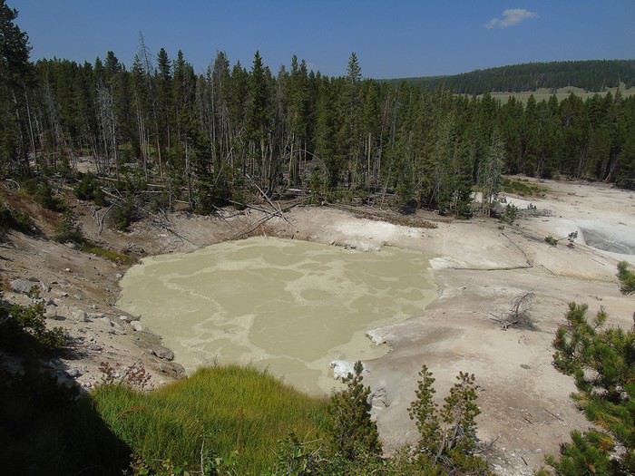
We turn around at Sulfur Caldron, where a bison doesn’t seem bothered by the smells.
We reach Petrified Tree via Dunraven Pass, which we never get tired of.
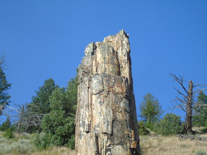
Short hike to Troot Lake (3 km round trip, easy). It’s charming, and we don’t run into anyone.
At the end of the day, we get back in the car to drive Blacktail Plateau Drive—a one-way (west/east) unpaved road open to all vehicles. This area is known for bears. On the main road, a crowd makes us stop, but the bear just left for the woods... We’re alone on this trail, scanning everywhere, but no bears in sight! Pretty disappointed, we head back to the cabin.
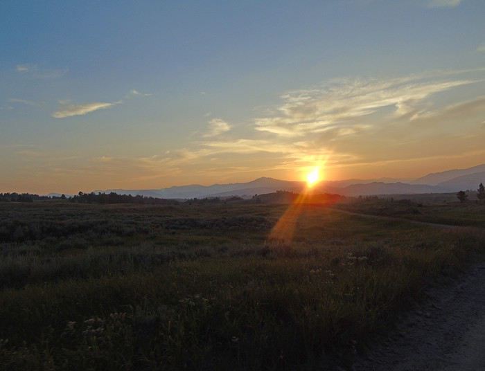
For dinner tonight, we eat at the Roosevelt Lodge Dining Room. The food is good, and the prices are very reasonable.
Day 16: We got up before sunrise to try and spot wolves in Lamar Valley. We parked in a lot where several people were scanning the surrounding plains with huge telephoto lenses. No wolves in sight, but a grizzly climbing a hill. It was quite far away. Just as I went to take photos, I realized my camera hadn’t charged overnight—dead battery. Someone kindly offered to let us look through their telephoto lens. Super nice. Another person told us the wolves were somewhere else today. We followed them by car, but still nothing on the horizon. We wouldn’t see any wolves.
We figured we’re just not lucky with wildlife this trip.
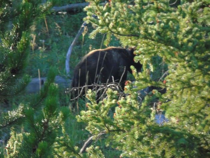
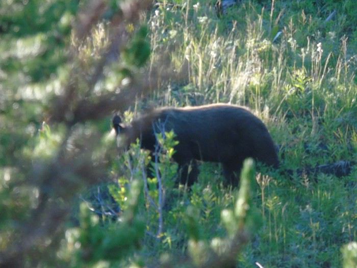
Back at the cabin, check-out, and off to our next stop, Grand Teton. Already the last day in Yellowstone! A deer was grazing just a few meters from the cabins. Barely had we left when a kid spotted a bear in the underbrush. We were alone, no other cars, so we stopped in the middle of the road—even though it’s not the best idea—to watch it. The cars that arrived after us did the same. We left pretty quickly because it was blocking traffic. The mood in the car lifted!
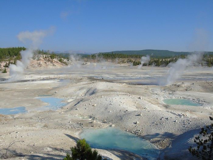
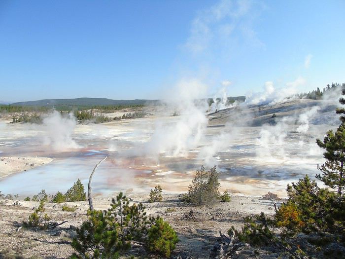
We arrived at Norris Geyser Basin fairly early. Plenty of free parking spots. We started with Porcelain Basin (a 1.5 km loop on boardwalks, easy). I’ll say it again—it’s stunning! It’s "milky," quite misty in the early morning, and you feel like you’re on another planet.
Part of the loop was closed. We headed to Back Basin but didn’t see Echinus Geyser erupt. The atmosphere was beautiful with steam rising above the green of the river or the blue of the pools. The colors seemed unreal here too. I lagged behind—no big deal, it’s a loop, everyone goes at their own pace, and we’d meet back at the car. Guess who arrived last?
Splitting up the geyser areas by spending several days in the west and north of the park—with its very different landscapes—let us appreciate Norris at its true value. It’s a gorgeous basin, but according to comments, it often disappoints if you visit right after Old Faithful. And I have to admit, the kids were pretty tired of geysers after two days. Sounds crazy, but that’s how they felt!
The day was far from over, and after managing to escape the parking lot (we hadn’t parked near the exit, which cost us 15 minutes of waiting to get out), we took Firehole Canyon Road, a one-way north-south route. Not many people, so it was relaxing. A small waterfall was visible from the road.
Next, we headed to the Fairy Falls parking lot to hike up to the Grand Prismatic overlook, this time under bright sunshine. No comparison! I’ll post a photo with and without sun—no need for words.
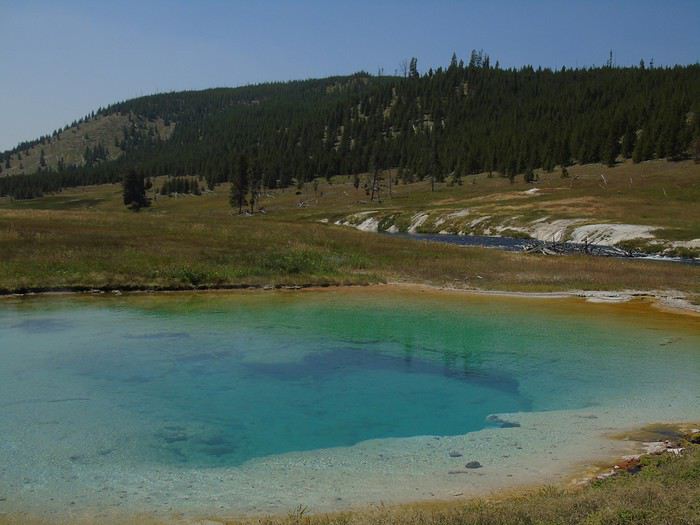
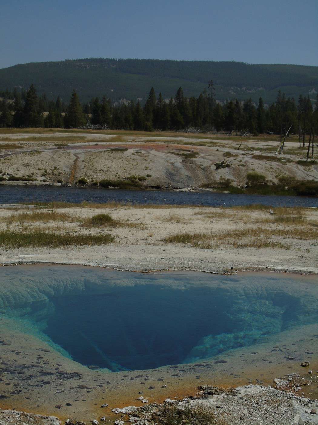
The pools along the trail were also beautiful.
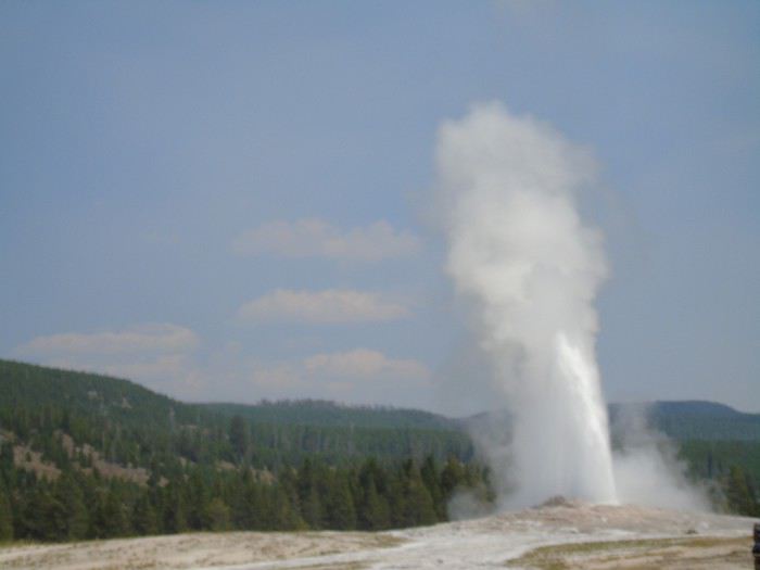
We couldn’t resist one last stop at Old Faithful to admire the geyser again. The kids picked up their Junior Ranger badges, and then we hit the road toward Grand Teton.
Our last stop of the day was Lewis Falls. It’s not an exceptional waterfall, but it’s right by the road. On the other side, the view of the plain with the Lewis River was pretty nice.
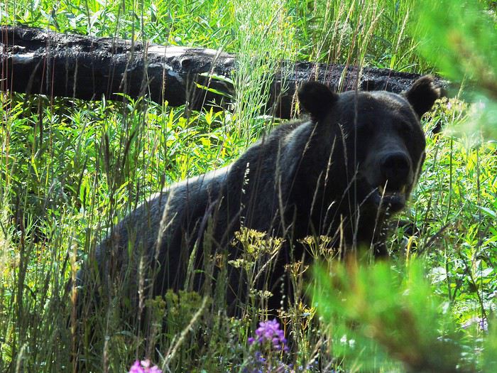
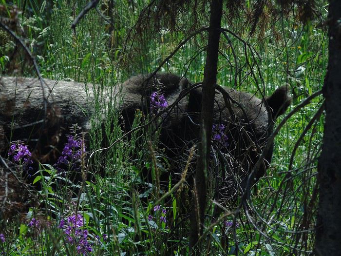
At the border of the two parks, a grizzly was strolling calmly just a few meters from the road. Amazing. It even looked at us for the photo. We were really spoiled. Turns out, we saw more wildlife without even looking for it than by going to the "famous" spots!
We arrived at Colter Bay Village. We’d planned to go kayaking, but we would’ve needed to arrive before 4:00 PM since it closes at 6:00 PM and rentals are for a minimum of 2 hours. Maybe tomorrow. After stopping by the Visitor Center, I tried to rally the troops for Lakeshore Trail—a 4 km easy hike—but no luck. We just relaxed by Jackson Lake for a bit instead.
We checked into our "tent cabin" for the night. Cheap for the location (90 €), but honestly, not great.
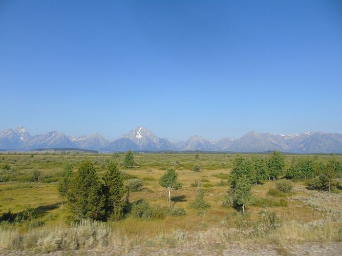
Wow, you guys saw bears! How lucky!
I love your photos of Grand Prismatic—you can really see the difference. We often say it, but the weather really does change everything.
Looking forward to the rest of your updates.
Yes, we were lucky with the bears... and it's not over yet.
We spent 7 days in Yellowstone and don’t regret it at all. It allowed us to visit the most popular spots outside of peak hours and explore at our own pace, without having to rush from one site to another.
It also helped us deal with the weather, which was kind to us—just one mixed day out of six with glorious sunshine.
Even so, we didn’t manage to do everything we’d planned!
As for accommodation, it’s not as expensive as you’d think to stay inside the park by booking a cabin without private facilities (the shared bathrooms were always nearby and clean). The exception is Canyon Village, where prices are much higher. And what a joy it was to have some sites almost to ourselves.
Day 17: Early start at Signal Mountain.
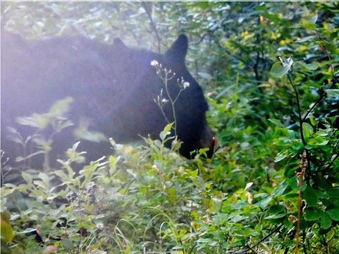
A ranger, stationed at the bottom, warns us about bears and reminds us of safety rules. Halfway up, a car is stopped in the opposite direction to watch a bear. There’s no one behind us, so we make a quick stop. The ranger’s car pulls up behind us, and we drive off. Missed photos, no big deal—the day’s off to a great start!
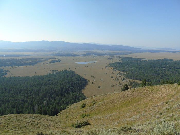
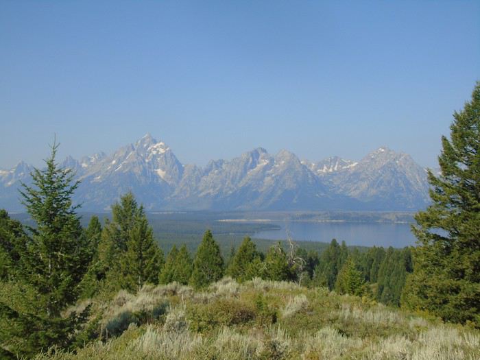
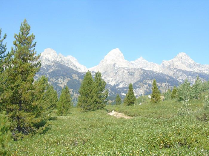
The two viewpoints offer a lovely view of the park.
On the way down, we don’t run into the bear again (too bad), but we do see the ranger talking into his walkie-talkie while gesturing—two cars are parked on the side of the road with no one inside.
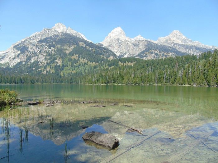
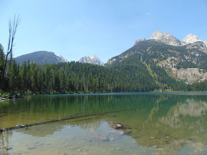
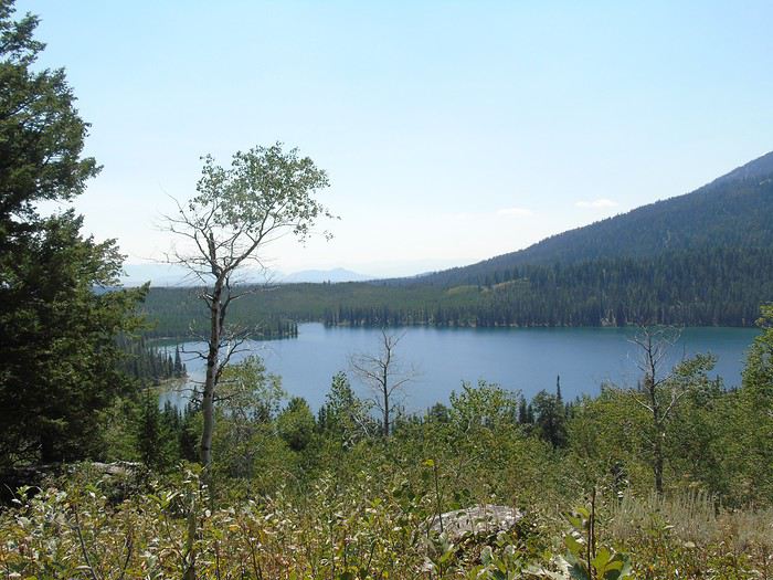
Short on time, we had to choose between Jenny Lake and Taggart Lake. We went with the latter, which seemed wilder, doing the loop to Bradley Lake (about 9 km, challenging).
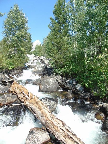
Not long after setting off, we hear a waterfall in the distance.
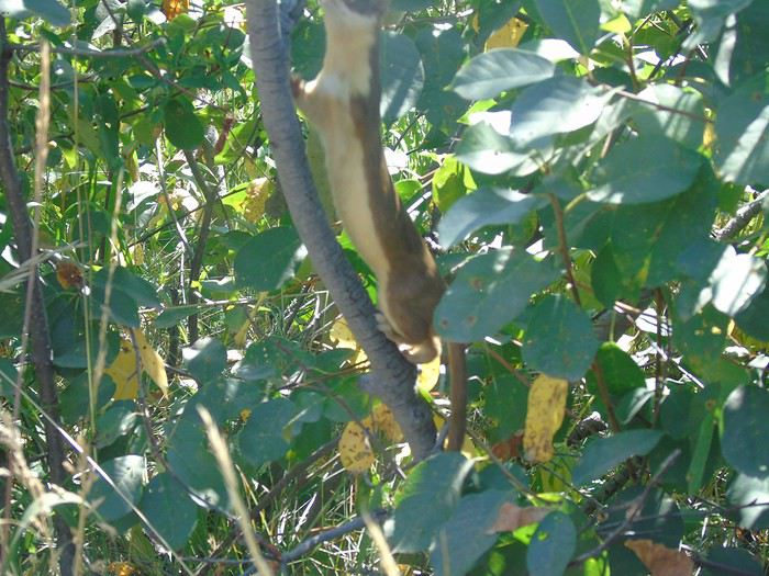
Then a weasel plays in the foliage.
We found this hike, rated as moderate, pretty tiring—there’s quite a bit of climbing. It was the toughest hike we did. But it’s worth it—these two lakes are stunning. Plus, we didn’t run into many people, even though the parking lot was full.
Taggart Lake:
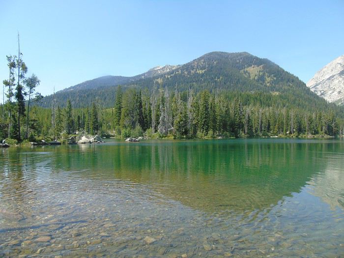
Bradley Lake:
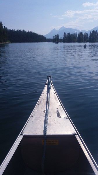
Back at Colter Bay for some kayaking. Nice, relaxing time. The kids had more fun than on the hikes!
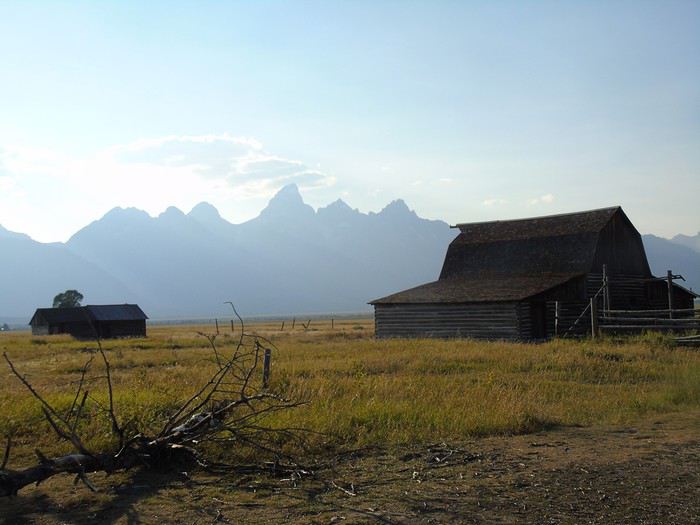
Time’s flying, and our lodging for the night is still far away. We head south on Highway 191, stopping—because I insisted—at Mormon Row. It’s not the best time of day; the sun’s in our eyes.
We don’t have time to visit Menors Ferry Historic District.
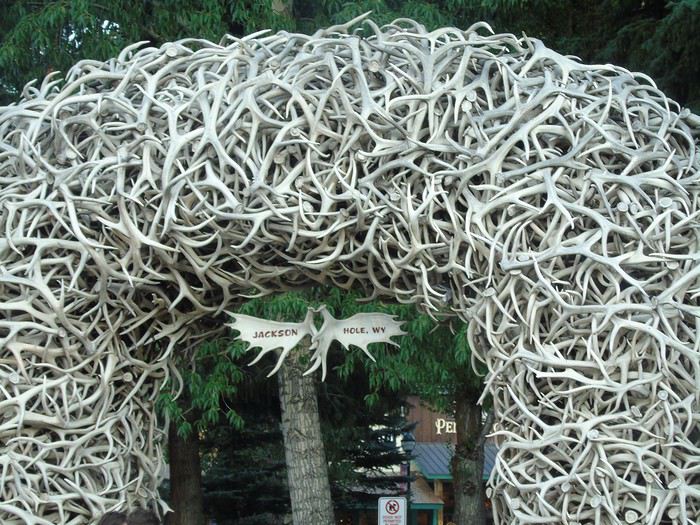
One of the regrets of this trip: we should’ve planned two nights here to enjoy it more. Even if it’s not the most exotic park, it’s still a beautiful one that, for us, deserved a deeper visit.
Our lodging is in Afton—another two hours of driving! Quick drive through Jackson Hole.
Why did we book so far away? Partly because we didn’t think we’d spend so much time in the park, hotels in Jackson Hole are crazy expensive, and we had a long drive the next day.
Nice road, though—this area has lots of ranches.
We arrive very late at Colter’s Lodge, which doesn’t look like much from the outside but is gorgeous inside. We have our best meal of the trip at the hotel’s restaurant, which luckily stays open late. We stand out in our grubby T-shirts and shorts after a day in Grand Teton, surrounded by locals in cowboy gear. No one bats an eye—everyone’s friendly, asking where we’re from. Many have never traveled.
Huge room with super comfy beds, 114 € without breakfast. No elevator to the rooms, but the receptionist offered to help.
Funny, we just posted about our day at Grand Teton almost at the same time. This park is often seen as "similar to the ones we have back home." Maybe that’s true for those who live in the mountains, but not for us city dwellers. Like you, I should’ve planned one more night there to enjoy it even more.
Happy holidays!
See you soon,
Françoise.
We live right near the Alps, and yet we really enjoyed this park. It’s much less exotic than others, true, but it’s very beautiful with lots of hiking opportunities.
I’m loving your travel journal—your photos are gorgeous!
Day 18: A long drive planned today to Vernal (280 miles). We didn’t leave super early—the beds were just too comfy! The landscapes kept changing: mostly farmland and ranches at first, then some rocks in a pretty arid setting.
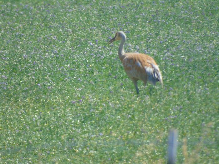
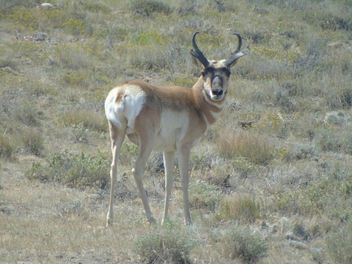
We barely saw any cars and our last antelopes, plus some wading birds (herons?).
We stopped in a village where a rodeo was getting ready, but it hadn’t started yet, and we couldn’t afford the delay. Too bad—we only had time to admire the horses.
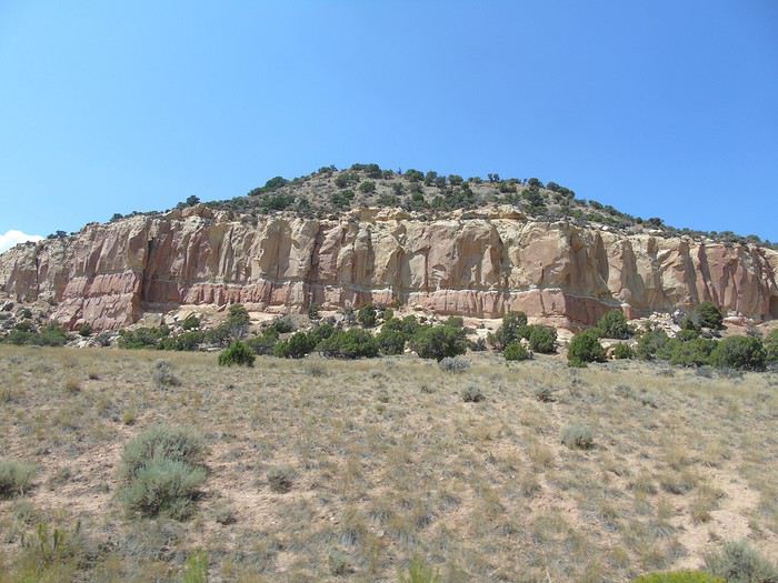
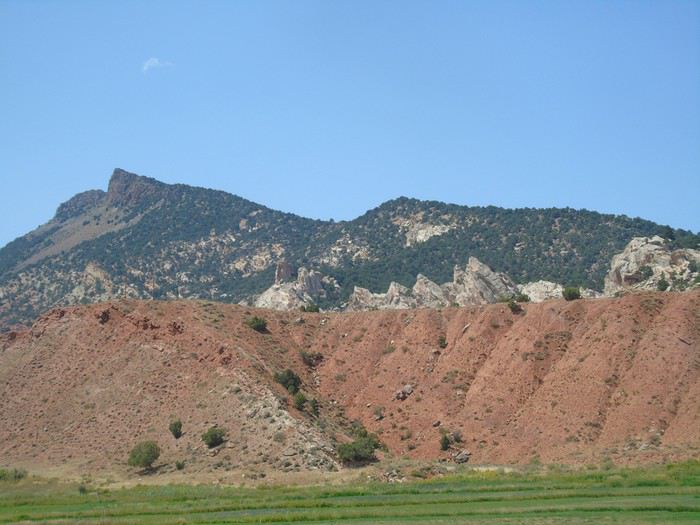
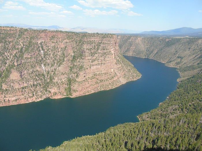
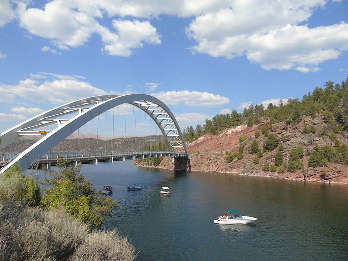
We approached Flaming Gorge from the west side.
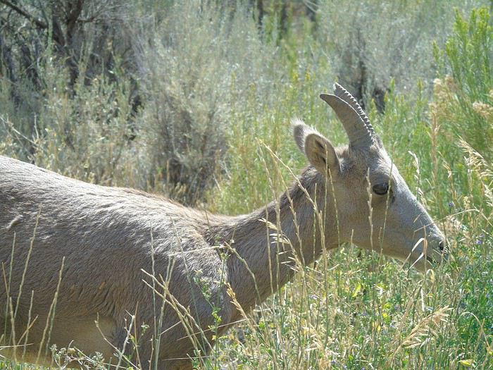
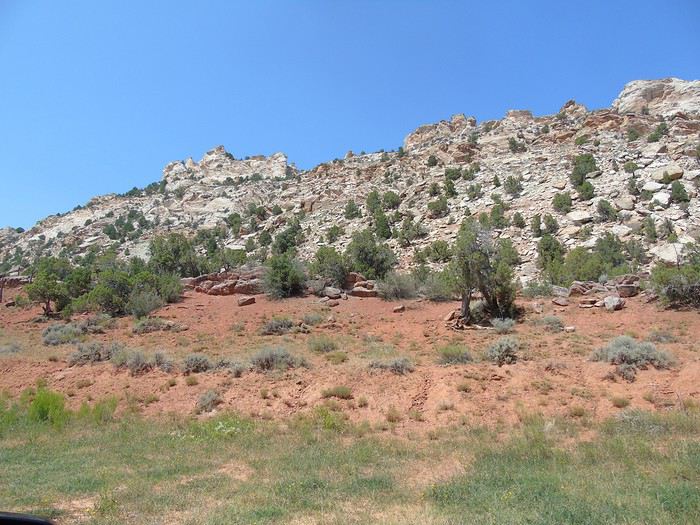
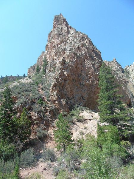
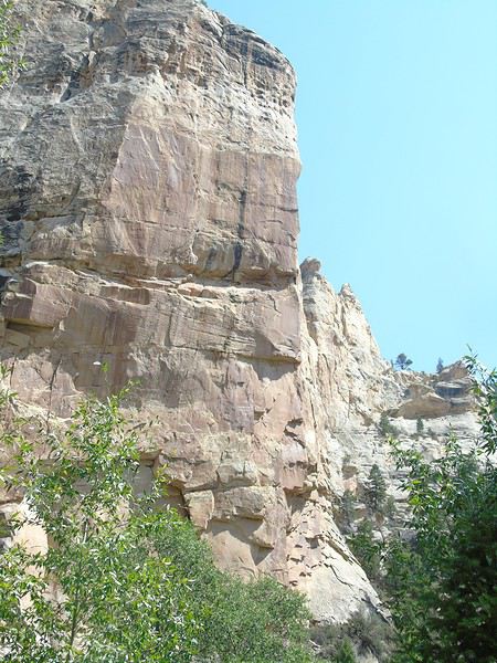
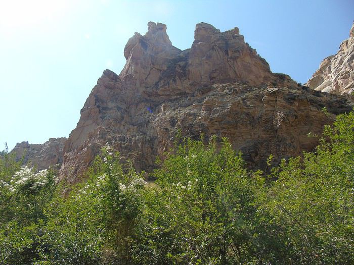
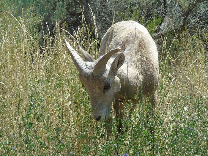
We turned onto the Sheep Creek Loop and came across a herd of bighorn sheep. A really scenic road winding through red rocks.
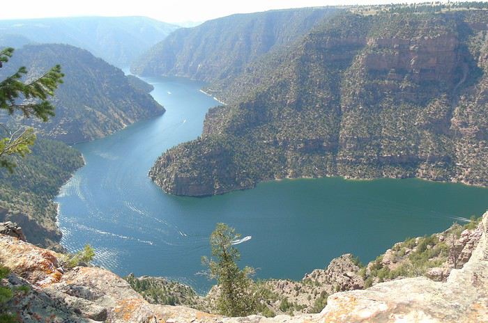
We stopped at the Red Canyon Visitor Center, which offered great views of the canyon.
We decided to push on to the dam—what’s a few more miles at this point? Well, we could’ve skipped it.
We arrived late in the day at the Vernal KOA, where we’re staying in a cabin. No neighbors—we’re the only cabin occupied. Fun fact: it’s the first time our cabin has had a fridge.
A transitional day that won’t go down in the history books, even if Flaming Gorge had some nice viewpoints.
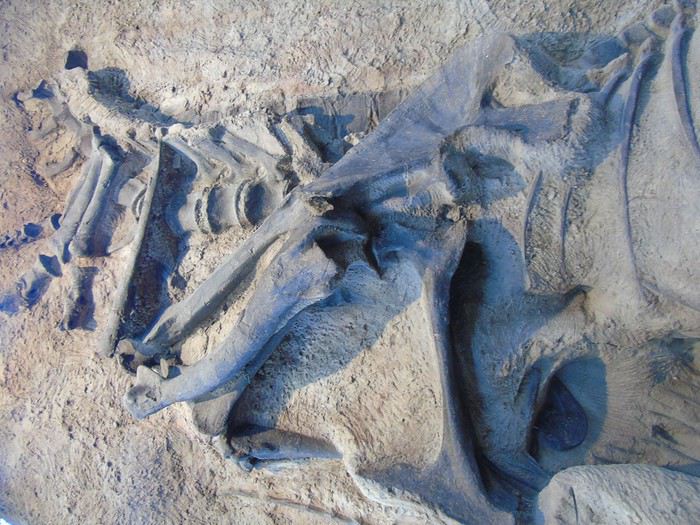
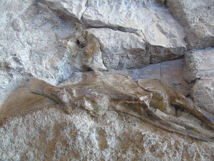
Day 19: Our day was supposed to be dedicated to the Utah side of Dinosaur NM. We arrive for the opening of the Visitor Center and then decide to walk to the Quarry Exhibit Hall via the Fossil Discovery Trail (2 km, easy). The sun is already beating down hard on this shadeless path. It’s certainly an interesting walk with a ranger, but I have to admit we didn’t see much despite the explanatory signs. Plus, the horizon is hazy (pollution, wildfires?). And the walk is better done in the other direction to be downhill!
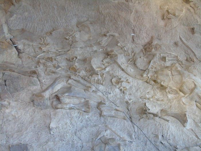
Visit to the Quarry Exhibit Hall. It’s definitely worth seeing. The concentration of fossilized skeletons (over 1,500 bones on the wall) is really surprising. You can touch some of them, there are several explanatory panels, and we stayed for quite a while.
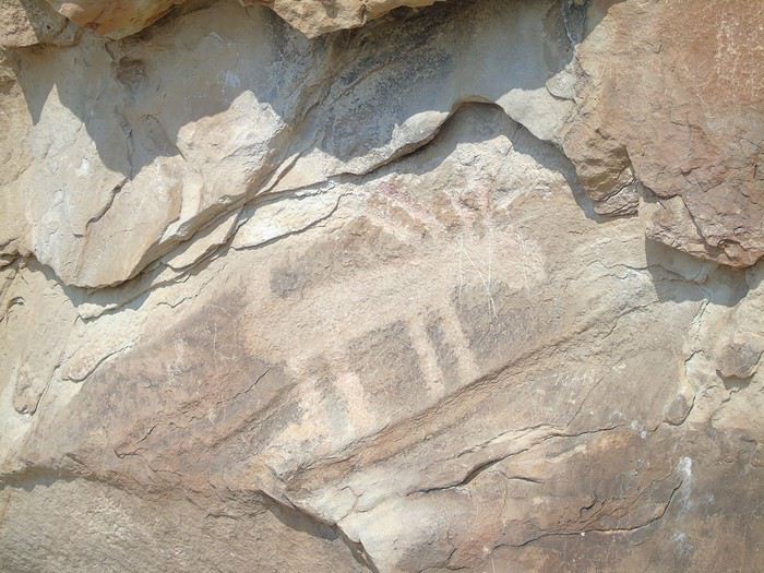
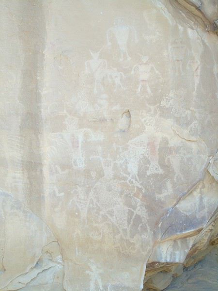
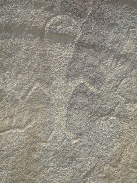
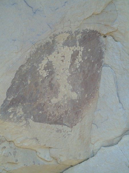
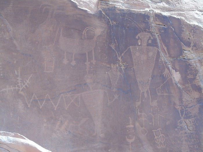
After returning to the VC by shuttle, we had planned to do the "Desert Voice Trail" walk. The crushing heat makes us give up, and we head straight down Cub Creek Road toward Josie Morris Cabin, with several stops along the way, including to see the petroglyphs near the road.
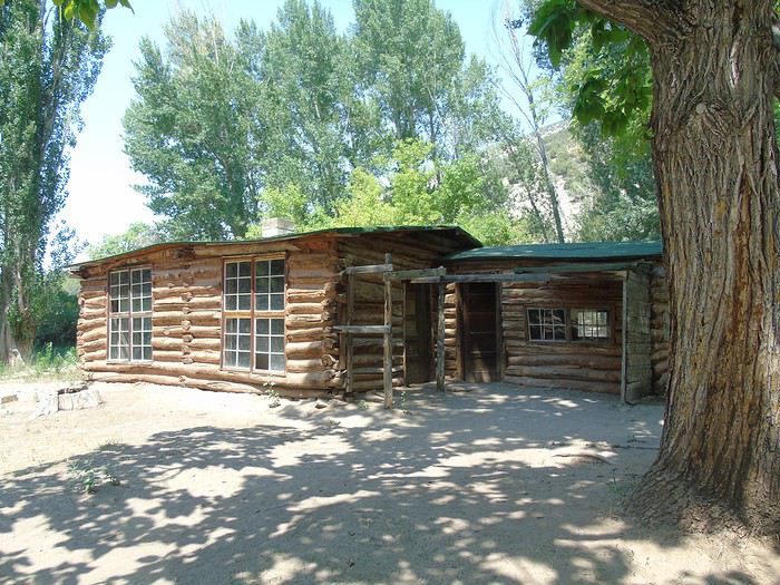
A peaceful picnic in the shade in front of the cabin.
It’s really nice, and we’re alone. We decide to follow the trails leading to canyons and start with the Hog Canyon Trail (2.5 km round trip, easy). We come across a snake slithering away at full speed. It’s way too hot—we finish the walk red as tomatoes. It’s not even that long, but we feel like we’ve drunk a ton. Back to the car, luckily in the shade, and no one wants to do the second walk, even though it’s shorter.
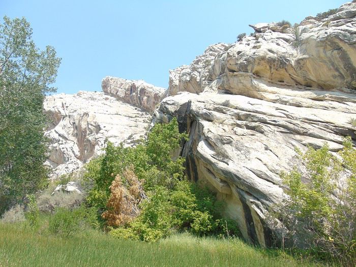
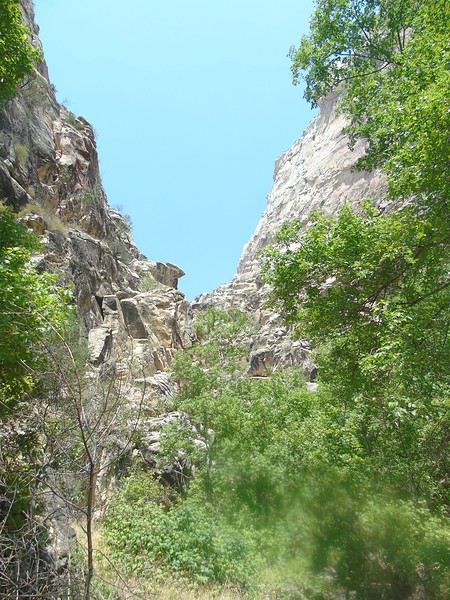
We leave the park much earlier than planned. The temperature hits 42°C, and the kids want to go back to the campsite to swim. I know full well that if we go back to the campsite, we won’t have the energy to drive 2 hours round trip to see Fantasy Canyon.
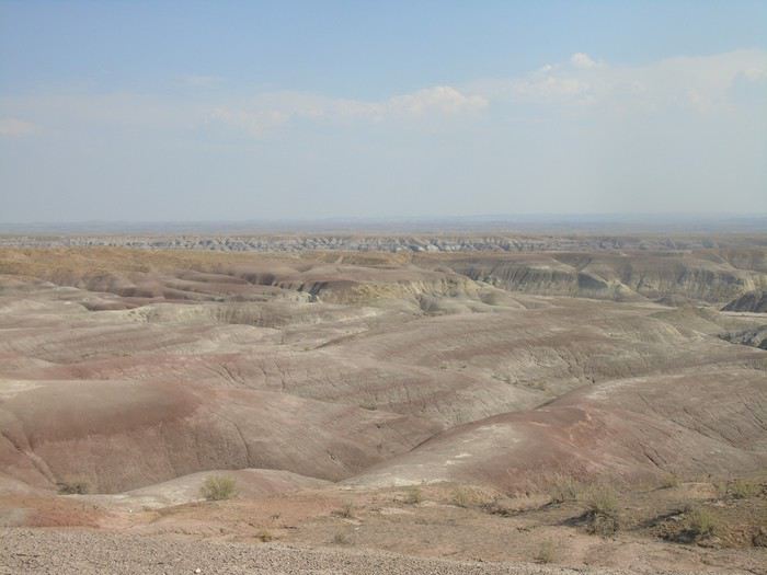
So let’s go right away, even if it’s not the best time. We first follow the Green River along Red Wash Road—a pretty drive before joining the main road. We don’t see a single car for over 45 minutes! It’s really in the middle of nowhere.
The GPS has us leave the road pretty quickly, and we’re on dirt tracks (very drivable) going up and down hills in a desert landscape full of oil fields. We obediently follow the GPS, hoping it’ll take us to the right place!
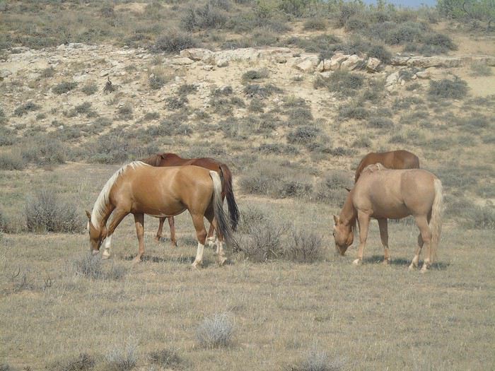
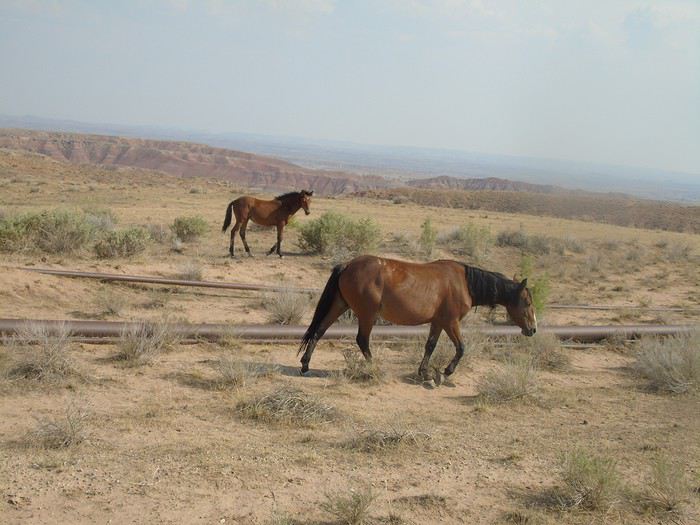
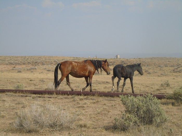
To our great surprise, we come across about twenty horses. But what are they doing here? In a place like this? They’re skittish and move away as soon as the car stops. Wild horses? Well, that’ll make up for our missed meet-up with the ones in Bighorn Canyon! We’ll see more on the way back when we reach the road.
We also come across a dead cow drying stiff in the sun. It’s macabre. This isn’t the time to break down!
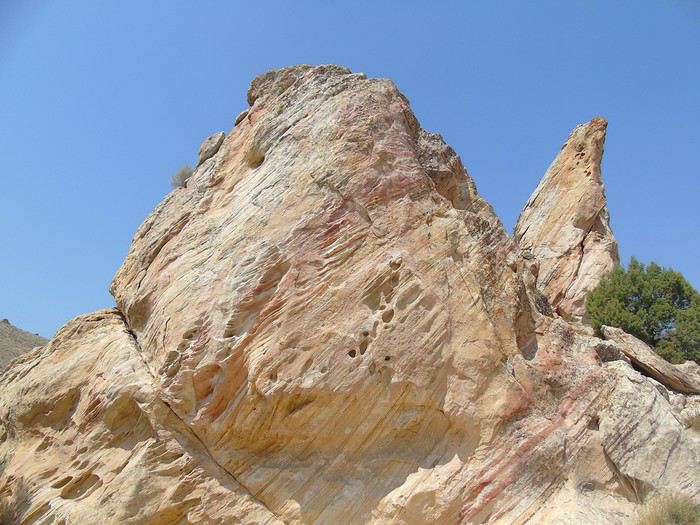
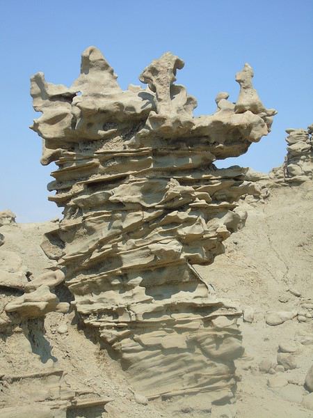
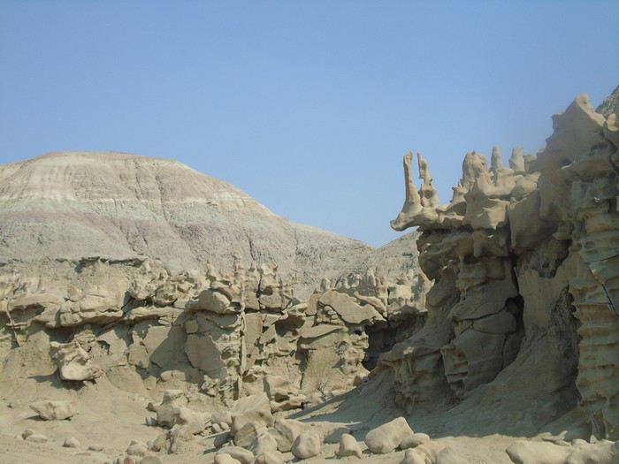
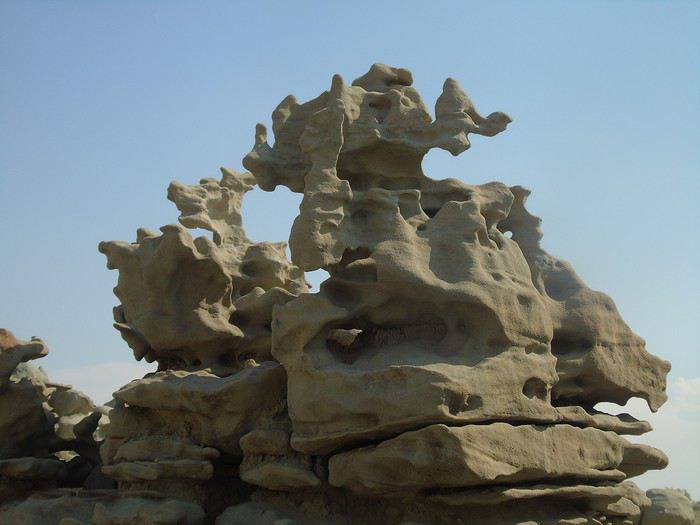
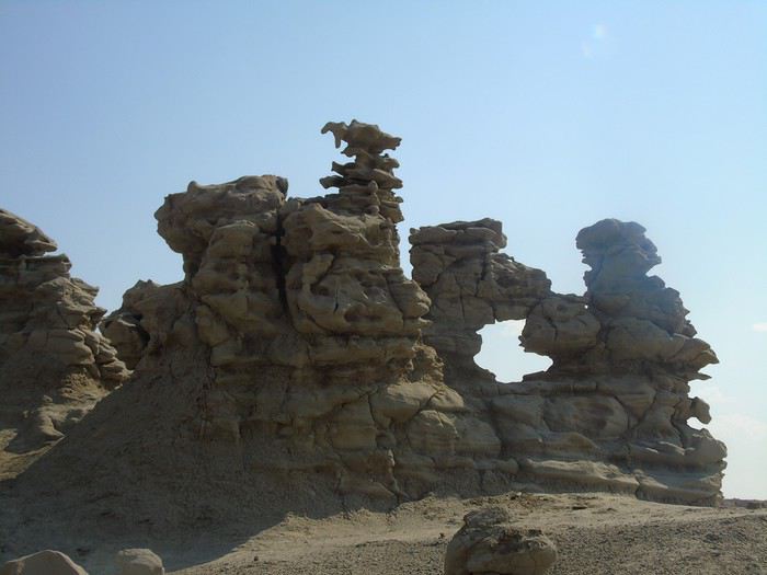
We finally see a sign for Fantasy Canyon. It’s still pretty far, and we’ll see on the way back that we didn’t take the shortest route. A car is parked there—it belongs to two young French guys who are leaving. We visit the site in over 40°C heat. The shapes are quite surprising, but the site is small. It’s not the right time for colors, though—we knew that. Everything is beige/gray, and it’s just too hot. Not pleasant at all.
Another car arrives—more French people! We chat for a bit and then head back to Vernal.
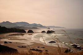
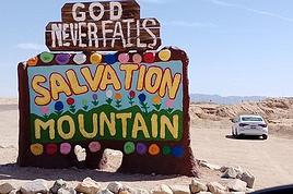
This time, we follow the signs (not the GPS) and are surprised to reach the road so quickly.
Summary of this visit: a lot of driving for a pretty small site, but it’s out of the ordinary. I think you really need to go at sunset to get the beautiful colors. We didn’t appreciate it as much as we should have—it’s too bad. We could’ve (or some of us could’ve) skipped it.
Hello Laurence,
Oh, I’m so glad to hear your thoughts on Fantasy Canyon. It was on our itinerary too, but we skipped it since my husband really didn’t want to drive that much on dirt roads. It’s true that at that time of day, it’s not very pretty, but if we’d gone at sunset, we would’ve had to drive back on that rough road almost in the dark…
You got some gorgeous colors at Flaming Gorge!
Looking forward to the rest of your updates,
Françoise.
Encore un carnet sur l’ouest des USA? Eh oui... Pourtant j’ai hésité à l’écrire, me disant qu’effectivement, il y en a déjà tellement que je me demande ce…
Carnets de voyage › États-Unis / Panama · 186 replies
Cette fois, c’est notre tour ..., notre tour d’essayer d’apporter un (petit) plus au forum, notre tour d’apporter un petit retour d’expérience sur notre récent…
Allez je me lance dans la rédaction du carnet de nos vacances! En préambule, je voudrais remercier tous ceux sur ce forum qui m'ont aidée à préparer ce voyage…
Kiki veut un nouveau carnet avec des photos, hein, qui?? Allez, c’est parti... Cette année 2016, ce sera un voyage de contrastes, entre Utah et Colorado: Rouge…
Dès notre retour du précédent voyage (voyageforum.com/... L'appel de l’Ouest américain... le retour d’un road-trip multigénérationnel) nous n’avions qu’une…
This trip had been on my mind for about fifteen years.
But the discomfort of overnight stays, the difficulty of communication, and the prices of the few car rentals kept making me postpone the project.
And then, everything fell into place—I told myself, now’s the time!
Preparations took longer than usual; the destination is still far from mainstream.
A bit of Kazakhstan?
Not in the end.
The south or not?
Yes, in the end.
Pre-book or play it by ear?
Only two stops were a leap into the unknown.
To help me find the ideal route, I made great use of this forum (thanks to everyone for patiently answering my questions!), pored over travel journals and blogs (Christian, Jeff), zoomed in on Google Maps and Yandex, and bought the guide published by OunTravela on this destination (the guide has been updated since).
---/---
You’ve got your passport, international driver’s license, bank cards, and euros?
Off we go to Lyon—just one night left before our early morning flight.
Tomorrow night, we’ll be sleeping in Bishkek!
(‘Beefsteak’ for my partner’s mischievous nephews...)
March 2nd — Departure by bus from Latour at 6:50 AM. The journey isn’t direct: we pass through Elne then Corneilla. In Perpignan, I switch to a BlablaBus heading to Barcelona’s northern bus station. Before reaching Le Perthus, French police stop us to check IDs. Several people aren’t in order, but after about fifteen minutes, we’re on our way again. We’re checked again at La Jonquera: this time, the wait lasts almost forty-five minutes while police identify those in violation and wait for a vehicle to pick them up. The driver then tries to make up for lost time; we finally arrive at our destination half an hour late.
I quickly head to the Arc de Triomphe metro station, located 200 meters away: you have to cross the bridge along the bus parking lot, then walk through a large garden; the station is on the right before the garden entrance. The trip to the airport isn’t direct: I have to change at Tomasso and take the line to the airport, where I arrive at 1 PM.
At the Emirates counter, I learn my flight was just canceled due to the war in Iran; they offer me another flight for the next day. I have to wait at the airport until 7 PM before being taken to a hotel; the next morning, I’ll take a flight to Vienna (with an 8-hour layover), then an Air India flight to Delhi, and finally a flight to Kolkata. I agree: I don’t know Vienna, so it’ll be an unexpected discovery.
At 7 PM, a small group is taken to the hotel, 35 minutes from the airport, where we’re served a light dinner upon arrival.
March 3rd — A taxi picks me up at 6:30 AM; the flight to Vienna takes off at 9:30 AM and arrives at noon. I’m free until 7 PM; the metro is direct to the city center. The weather is pleasant and not too cold, luckily, since my clothes are light.
When I exit the metro, I spot the St. Stephen’s Cathedral tower in the distance and approach it: the roof, made of glazed tiles, is remarkable.
Entry is free, and the interior, a mix of Gothic and Baroque styles in the center, is stunning.
Not far from there is St. Anne’s Church
, also Baroque, adorned with beautiful frescoes
—a music concert adds an enchanting atmosphere to the visit.
I continue my walk at random through the pedestrian streets lined with magnificent buildings: I’m charmed by the city.
Before heading back to the airport, I stop at a lovely tea salon. My flight will eventually leave with a delay.
Wednesday, March 4th — Delhi and a little luggage scare
We arrive in Delhi shortly after noon. Immigration is quick, and good news: my bag was checked through from Barcelona to Kolkata. I head to the connecting terminal and arrive half an hour before boarding: the flight goes smoothly. Upon arrival, the luggage comes out quickly… except mine. After filing a report, I’m told my bag is in Delhi—I have to retrieve it before taking another flight. I didn’t know (or had forgotten): with the delays, I wouldn’t have had time to pick it up and make the connection.
I take a taxi to the Ichamati Hotel. The welcome is warm, and the room is clean but very small. Without my bag, I feel a bit lost—I have nothing to change into.
Tonight, I’m dining with Raja and his friends at a beautiful restaurant, an old colonial house turned into a hotel.
We’re happy to see each other and have a comforting evening together.
This travel journal summarizes a trip I took in March to Argentine and Chilean Patagonia. It starts in El Calafate and ends in Ushuaia. During my planning, I considered looking into the Australis cruise from Punta Arenas to Ushuaia, as well as the W trek in Torres del Paine National Park. In both cases, I was put off by the prices. Instead of the cruise, I found two interesting wildlife excursions from Punta Arenas: whale watching in the Strait of Magellan and observing king penguins in Tierra del Fuego. The journey to Ushuaia was by bus. For Torres del Paine, things were a bit confusing, so I reached out to two agencies. In the end, I went with a rental car option, overnight stays on-site, and day hikes. I shared my full itinerary with the agency and ended up being taken care of by a local Argentine agency and a Chilean one.
So, here we go...
This travel journal is therefore intended solely for my photos, to present a consistent style.
All the shots were taken with a simple Samsung Galaxy smartphone and with whatever was at hand.
All stays combined, I’ve spent the equivalent of a year at most in Thailand, and I’m no great expert.
However, after many trips, lots of reading on VoyageForum and other sites, and conversations with many locals as well as expats, my view of the country is becoming clearer, though it’s constantly evolving. You never stop discovering and learning.
I guess I wanted to deliver a puzzle, mainly for those who want to get an idea of the country here and for those who feel nostalgic about it.
I don’t know if this minimalist sharing will interest anyone, but it’ll do me good to put it together. After so many months without traveling and then these other long months with VF closed, there’s plenty of material available.
There’ll be a mix of places, periods, and subjects, but it might well be intentional.
I suspect many Thais have dogs because they make excellent guardians for the home. Nothing better to deter burglars or to signal the presence of a snake. You’ll often see Thais tapping the top of their dog’s head, but don’t be fooled: it’s a sign of affection from them. Judging by the dogs’ reactions, they’re used to it.
Thailand is one of the countries on the planet where rabies is still present, so keep that in mind. It’s not just bites that can be dangerous, so don’t let just any dog lick you. Especially on a wound, of course.
Even though dogs often fear humans—this dangerous and unpredictable predator—we still need to stay cautious.
Be careful when walking into alleys because the dog will defend its master’s big yard. Be careful at night, and be careful when they’re in packs.
It sometimes crosses our minds that Thailand isn’t all that made for walking around, and dogs are one of the reasons.
That said, it’s not uncommon to see them chasing bikes or scooters. Cars, though? Much rarer—they’re too big.
It seems Thais prefer to give their dogs freedom by not locking them behind gates. Though sometimes the gate is closed, the little side door is wide open. Oh, and sometimes there’s no gate in front of the property, or it’s been full of holes for years.
You’ll often see dogs sleeping on the roadside, sometimes right on the road. When you approach, they move aside nonchalantly—or not at all. It’s less funny when they suddenly appear from thick vegetation, reminding visitors not to drive too fast. As a result, you’ll notice that dogs with injuries or missing legs aren’t that rare.
Since they believe in reincarnation and respect for all forms of life, they don’t chase dog packs away too much, and they don’t sterilize them enough. When you see a small pack roaming freely in the countryside, you think twice about running into them at the edge of a field.
A darker side of this is that euthanasia isn’t often practiced. Twice, we saw dogs at death’s door in temples, enduring terrible suffering with no one to help. The image (and the smell) of one of them, agonizing and exuding the stench of death, still comes back to me sometimes.
Some of you may have seen the YouTube vlog of a French woman living in Phuket who was given a little pig by her Thai friends. The animal, well-fed, quickly became a happy and enormous beast with its own garden. Yet it didn’t take long for it to fall seriously ill and become incurable. In her video, the French woman described how difficult it was to find a vet willing to perform euthanasia.
You’ll often see bowls by the side of the road. Thais leave food and water there for stray cats and dogs. Overall, they have a big heart for animals.
If you ever pop into a shopping mall, you might see people pushing their small dogs in strollers. It’s not just for fun—these strollers are provided for customers to put their pets in, otherwise you can’t bring them inside. It looks a bit odd when you expect to see a baby.
June 2024.
While hiking with my brother on the GR 36 Tour du Morvan, I catch sight now and then of strange rectangular markers fixed to tree trunks. Against a bright orange background, a deep black Greek tau topped with a white dove. My first encounter with the Assisi Way.
The Way of St. Francis: a pilgrimage route linking Vézelay in Burgundy to Assisi in Italy, covering nearly 1,800 km.
It felt like an obvious next step—I immediately knew I’d take it on, attempt the adventure solo.
In the months that followed, I talked about my project to everyone—family, friends, my partner. An avalanche of comments, more or less the same but varying depending on each person’s character and life experiences. But deep down, it all boiled down to one legitimate question: why?
And the answers?
Hesitant, awkward, partial, even confused. I quickly realized they weren’t so easy to find. It was as if my project seemed more like a whim, a kind of intimate caprice, rather than a well-thought-out plan.
Of course, I knew the reasons that pushed me to leave—you always have to give some. Loved ones need to understand to feel reassured, and that’s understandable.
But I fear that when I list them, they’ll sound like the same old checklist anyone embarking on this kind of journey might give.
Of all the reasons I could mention, I’ll highlight just one here: the call of the road, the solo adventure that brings a powerful sense of freedom.
A bit like Monsieur Seguin’s goat, who from her comfortable pen gazes longingly at the unconstrained horizon of the mountain.
But if I’m being honest, I think I didn’t really know what I was looking for—or, more importantly, what I’d find. Deep down, when I reflect on it, one word keeps coming up that explains nothing and everything at once: desire.
Now well past sixty, I know that when I ask myself who I am or where I’m going, two things bring me fully back to myself: hiking and writing.
And my intention was also to anchor this adventure through words, day by day. Writing down my feelings, emotions, discoveries, and reflections each evening. The famous travel journal that grounds the daily experience in reality.
When I discovered the app "Polarstep," which was initially just meant to keep my loved ones updated and reassured, inform them of my progress, and maintain a connection, I found an opportunity to do it a little differently than usual.
No retrospective notes polished up after returning, but spontaneous writing—recounting everything that crossed my mind during the day and publishing it immediately. A journey lived in real time.
This text is the exact transcription of my daily writings. Rereading them, I didn’t change a thing—just corrected a few mistakes and tweaked some awkward phrasing here and there. Short texts, fitting the format imposed by this kind of app. Writing as if addressing others.
Now, all that was left was to walk.
April 18, 2026 – Vézelay.
Here’s our account of our trip to Malaysia from September 11th to 27th.
I hope our tips can help others as much as this forum has helped us!
Day 0:
Departure from Nantes with a transfer in Amsterdam via KLM (720 €).
Day 1:
We arrive at KLIA1 in the early afternoon.
First challenge: figuring out where to pick up our luggage. Turns out the answer is right under our noses—we need to take the airport’s internal metro!
Once we’ve got our bags, we withdraw some cash from a Maybank ATM right there.
Next up: SIM card! Just outside the arrivals hall, several kiosks offer them. We go for a Celcom 5 GB card (70 RM).
Then it’s taxi time to get to KL, in the Bukit Bintang area—about 85 RM in a slightly old taxi with weak air conditioning.
We check into our Airbnb apartment, which is clean, more spacious than a hotel room, and—best of all—has a charming balcony with a gorgeous nighttime view!
We end up hanging out on that balcony, reviewing our plans for the next day. After dark, we take the monorail just a short walk away to enjoy our first evening on a rooftop at the 34th floor: Hélipad (Raja Chulan station—you have to enter the Menara Tower at the base of the station) with a panoramic view of the city and its iconic towers.
Finally, we head to Jalan Alor to grab a bite in this super busy street.
Big sleep ahead! 😴
After the summer of 2022 left me with a sense of unfinished business, here I am back in Swedish Lapland for the summer of 2024, ready to attempt the Sarek crossing again—and this time, tackle part of the Kungsleden too.
After much hesitation, my companion Jean Marie and I decided to start with the Kungsleden, which, from what we’ve read, is stunning but very crowded (and it really is!!), and finish with the wilder option: SAREK! This park is known as Europe’s last wild space—I think it’s incredibly inspiring!!
The downside of this choice is that there are no resupply options in Sarek, and the Kungsleden isn’t exactly set up for long treks either, so we’ll have to carry a lot of food for the first part with Sarek in mind.
But hey, we’re motivated!
Our plan is to start in Abisko (classic), head to Vakkotavare (also classic, but with some variations to avoid the official route and the crowds), then continue the Kungsleden from Saltoluokta. Before Aktse, we’ll set off on an east-to-west crossing of Sarek (weather-dependent, since aside from the Skarja hut in the center of the park, there’s no shelter if conditions turn bad).
At least we’ll be on the right side of the park to climb Skierfe and enjoy the jaw-dropping view of Rappaladen if we have to abandon the Sarek crossing.
That adds up to 17 days of trekking, including 1 rest day + 1 buffer day for weather delays.
So if you’re interested, I invite you to follow our overstuffed backpacks!
08/03 - Abisko – 5km before Abiskojaure
Some info (guides used for prep, SFT map, sending food to Saltoluokta)
08/04 – 5km before Abiskojaure - on the east shore of Lake Alisjavri
08/05 – East shore of Lake Alisjavri – just before Tjaktja
08/06 – Just before Tjaktja – above the Salka hut via Nallo
08/07 - Salka – just past Singi + side trip to Djalson Lake
08/08 - Singi – Teusajaure
08/09 - Teusajaure - Vakkotavare (end of the first section of the Kungsleden)
08/10 – rest day in Saltoluokta + round trip to the Sámi village of Pietjaure
08/11 – Saltoluokta – Sitojaure
08/12 - Sitojaure - Skierfe - So, Sarek or no Sarek?
08/13 – Skierfe – somewhere above Rapadalen
08/14 – Somewhere above Rapadalen – above the Skarki hut
Coming up:
08/15 – Above the Skarki hut - Skarja
After a pretty disastrous weather-wise trip to Gran Canaria, we’re hoping this time the sun will shine in Puglia.
It’s not a sure thing, though—the weather’s been awful all over Europe in early May.
For those who’d like to (re)read the story without the digressions, it’s here.
Saturday, May 16:
This time we’re flying out of Charleroi (Brussels South): the ticket prices, flight times, and proximity all worked for us.
The airport (Ryanair) was recently renovated... but it’s still not very well organized. There are hardly any seats in the boarding areas, and... the restrooms cost money!!!
The flight goes smoothly, though, and we land in Bari a little late.
We quickly pick up our rental car, a very local-looking Pandina (even more so than the Fiat 500 in this region), and hit the Italian roads... and their unique driving quirks (like the fact that the countless road signs along the streets and in towns are purely decorative 😏, and that Italian cars don’t have turn signals 😮... except for rental cars).
About an hour later, we arrive at our first accommodation, right in the middle of the countryside near Monopoli.
The owner isn’t there, but they’ve left us a ton of info via messages and even turned on the space heater, which is a nice touch.
We explore the property:
And the next morning before breakfast, its immediate surroundings:
Sunday, May 17:
After our "seaside" experience in Gran Canaria last weekend (packed with people and locals), we decide to start inland.
After a hearty breakfast,
we head toward Alberobello, a super touristy village famous for its trulli—those stone houses with conical roofs.
We easily find a free parking spot on a street near the Aia Piccola district, where some trulli are still lived in year-round.
We almost immediately come across the Trullo Sovrano (the only two-story one), which you can visit (but we skip it—it’s opening time, and there’s already a line).
From there, we head down toward the Basilica of Cosma e Damiano... but we don’t go in because there’s a mass.
Now we’re on the main Piazza del Popolo, which connects the two districts of Alberobello: Rione Aia Piccola and Rione Monti, the more touristy one.
Come along, I'm taking you to this country where it's so nice to wander and slow down...


This trip was in 2023, but when I wanted to write my travel journal, VF was still closed to contributions...
So, now that I've just finished my Japan travel journal here, I figured it was high time to honor this destination we came back from so enchanted.
Disclaimer 1: This is a written travel journal. There’ll be text! Too much, for some!
Disclaimer 2: This is an illustrated travel journal. There’ll be photos! Too many, for some!
I have to say, every time I try to discipline myself, to keep it shorter, to include fewer photos... I end up adding more. It feels like my dear Aunt Nicole, who exhausted us with her slide-show evenings in the 70s/80s, decided to take her revenge. The upside for you, readers, is that you can slip away anytime without offending Aunt Nicole. I won’t even notice!
Anyway, since I love maps, here’s one to give you an idea of where I’m taking you. As you can see, we only saw a tiny part of Laos (the areas circled in red); we only had 3 weeks for ourselves (my husband’s newly retired, I still work), and we prefer taking our time over rushing around like crazy.
In broad strokes, it was very classic:
First, we “settled in” at Luang Prabang (8 days), because we wanted and needed to.
From there, we took three days to venture a little further north—not far in kilometers, but as we know, distances aren’t just about km!
Then we flew south to Paksé, letting ourselves drift down to the 4,000 Islands while stopping by the pre-Angkorian archaeological sites.
We wrapped up with the Bolaven Plateau.
A few practical notes: We arrived via Bangkok, then took a Bangkok-Luang Prabang flight, having picked up our luggage in Bangkok to check it in for Luang Prabang. No issues—the Bangkok airport, which many of you know, is very well organized.
We got our visas on arrival in Luang Prabang. Quick, but to be fair, we were on a “small” plane, and the big flights had arrived earlier, so we weren’t too crowded in line!
At the end of our trip, we didn’t fly out of Paksé but from the nearby airport in Thailand, Ubon Ratchathani (a 2.5-hour drive from Paksé), then Bangkok and Paris.
You’ll notice we skipped Vientiane to stay longer in Luang Prabang. That said, there’s now a high-speed train between Vientiane and Luang Prabang—good to know—and soon the (Chinese) train will go all the way to Bangkok and even Kuala Lumpur!
With that intro out of the way, let’s dive into the heart of the matter.
To be continued: Slowing down the pace... in Luang Prabang
Here’s a little story about my first trip to Japan with my partner.
We went for our first visit from October 29 to November 13, 2024.
I had planned this entire trip back in November 2020, but given the health situation at the time, I had to cancel...
Here’s the classic route we took:
We booked everything ourselves and got a regional pass for the area from Kyoto to Hiroshima.
The hotels were reserved 3 months in advance on Book... and Agod... (1030 € for 2 people for 13 nights = 80 €/night).
For the flight, we chose a Qatar Airways flight with a layover to break up the long journey (950 € per person).
We also got a pass on the same site (Japan-Experience) to take the train connecting Narita Airport to Shibuya Station (the N'EX Narita Express).
Since the airport is 75 km from central Tokyo, we opted for this mode of transport, even though there are cheaper alternatives.
After reading various posts on VoyageForum, I understood how important it was to have a Welcome Suica card to pay for public transport (subway, tram, bus, boat throughout the country), and we were able to buy one at Narita Airport.
It turned out to be super useful!
After a long but smooth journey, we found ourselves at Narita Airport in the evening.
Even though we had a pass for the Narita Express, we had to go to a counter to make a reservation for the train (mandatory).
Then, once we arrived at Shibuya Station, we took the subway for 2 stops and finally reached our hotel, exhausted (Hotel Asia Center of Japan – 270 € for 3 nights with breakfast included).
I’m inviting you on a stroll through my drawings—a completely subjective, far from exhaustive, and totally personal take, since it’s based on my own sketches. I put this travel journal together after returning in late 2024, mostly using felt-tip pens and pencils, with a few collages thrown in. I worked from our personal photos.


Let’s start with the shotengai...
Our first "wow" moment came as we stepped out of the subway in Asakusa, the Tokyo neighborhood where we’d booked our hotel for our first five nights. Exhausted after our long flight, we finally arrived and took an exit that led straight into a shotengai—one of those covered shopping streets that pop up in city centers and flourished between the 1950s and 1980s.
It was an instant aesthetic shock, like a close encounter of the third kind between the modern city, a typical Asian market with its street stalls, the vintage vibe of the arcade, the sheer abundance of goods, and the bustling crowd—a mix of tourists, pilgrims (thanks to nearby Senso-ji Temple), and locals (it’s a very working-class area).
In the end, it set the tone for a feeling we’d experience throughout the trip. Wherever we went, shotengai turned out to be fantastic spots for finding little restaurants, shops, or even fresh produce. Some are like real mazes, like in Kyoto, where we spent ages trying to relocate a restaurant we’d loved ;-)
In Kanazawa, the Omicho Market:
And in Kyoto, Nishiki Market:
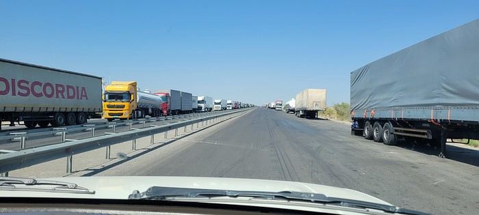
With my girlfriend Christelle, we’ve chosen South Africa for our first trip to Southern Africa, focusing on safaris—after a long debate with a Cape Town/Kruger combo.
But that would’ve meant cutting out St Lucia, which would’ve been harder to fit into another trip.
And St Lucia—thanks to Michel and all those travel journals—we really wanted to go there.
So our 11-night itinerary ended up like this, mostly shaped by school holidays:
- 3 nights in St Lucia
- 1 night in Hluhluwe
- 1 night at Mkhaya Game Reserve (Eswatini)
- 1 night at Hlane Royal National Park (Eswatini)
- 3 nights in Kruger (Berg en Dal / Satara / Tamboti)
- 1 night at Shindzela Tented Camp in the Timbavati private reserve
- 1 final night in Kruger at Lower Sabie
All of this in the off-season and rainy season, just a month after catastrophic floods that killed over 150 people and seriously damaged Kruger’s infrastructure.
I’ll jump straight to St Lucia and skip the loooong journey to get there (with a layover in Frankfurt, landing in Johannesburg, a domestic flight to Durban, and the rest by rental SUV—First Car Rental, perfect, no complaints).
To motivate readers—especially some familiar faces here—I’ll drop in a first photo.
If you're looking for great tips and offbeat spots, if you love exploring uncharted parts of a country, if the exotic is your adrenaline, then move along!
Our 15 days in early May in this part of Turkey (a country I first discovered during a city trip to Istanbul in 2017) will only tread well-worn paths and revisit popular routes. Simply because I kept hoping until the very end that our flight to Jordan wouldn’t be canceled. Events in the Gulf proved me wrong, so we left with:
Zero preparation.
Not a single hotel booked (well, except the first one), no visits planned, just a flight ticket bought three weeks earlier. No guidebook, no app—just the desire to explore southern Turkey and Cappadocia, whose images and the chance to stretch our legs had caught my eye.
Oh, wait—I did bring along a new guide: Gemini! Yes, my friends, generative AI was my chief advisor throughout the trip for sites to visit, accommodations, routes, and even restaurants! An experiment I wanted to try to form my own opinion on using this new technology. And what better way to test it than a Turkish getaway?
The verdict? You’ll have to wait for the trip recap to find out!
The main idea of the trip is also relaxation.
So, the plan is Antalya for a few days, the Turkish Riviera for a few more, Cappadocia as the highlight, and a return via Antalya to wrap up the trip. And it was all planned by AI!
So, if you're ready, fasten your seatbelts—cabin crew, doors to automatic and cross check—boarding for Turkey now!
We went to Albania in August 2025.
Our itinerary included adventure (sporty activities, site visits), naps on the beach interspersed with swims, incredible natural sites, and a bit of culture.
I booked all our accommodations on Booking.com. Note: almost all places ask to be paid in cash!! You can obviously withdraw from banks, but the fees are pretty high. Luckily, we had plenty of cash, and the country is very safe. You can pay in euros most of the time, which avoids exchange fees.
We started in Tirana. I’d read a really interesting post about Albania’s bunkers (link in my profile). We chose to visit Bunk’Art with a guide from the agency that wrote the post. It was fascinating—not only to better understand the country’s history but also because her grandfather was repressed by the regime, and she shared her family’s experience with us.
Bunkers are everywhere! In Tirana, Bunk’Art is the most interesting and largest. You’ll see the dictator Enver Hoxha’s office, where he would’ve taken refuge in case of an attack on the country. Bring a sweater—it’s really cold in the underground tunnels and their huge corridors.
You can visit other bunkers around the country, in Tirana and elsewhere. Almost all are just abandoned.
The cable car up Mount Dajti is right next to Bunk’Art. The view is stunning—you realize Tirana is so close to the mountains and the sea... But otherwise, it’s not that exciting for older teens (17 and 19) and their parents.
We picked up a rental car in Tirana—it’d be ours for the next three weeks. We used Goalbania’s agency to avoid any hassles. First, there aren’t many cars available in Albania in summer. Second, French credit cards can be a nightmare abroad. So we preferred to sort that out in advance.
After Tirana, we headed to Permet. Just a heads-up: the roads are in great condition except in the mountains. And Albanian drivers aren’t stressful to deal with. Though you might suddenly encounter a herd of goats crossing the road—haha—but if you’re not going too fast, it’s fine.
In Permet, I’d been dreaming of rafting on the Vjosa, one of Europe’s last wild rivers. And we did it with a local agency! It’s beautiful, accessible to everyone, not too physical but still a bit lively—just how we like it. You can even jump into the river in some spots.
In Permet, we also hiked through a canyon and visited a lovely little church.
And we took a workshop to make their local culinary pride: gliko. It’s a jam with whole fruits inside. We’d seen it on Goalbania’s site, and it was really fun. We were with a family where the secret to making gliko has been passed down for generations...
Next, we headed to Gjirokastër. A city we loved: its old traditional houses (Skendulli and Zekate), its grand castle, the Ali Pasha Bridge. Along the way, we stopped for artisanal ice cream at a little shop run by a grandmother who’s been making it herself for ages.
One afternoon, my husband *had* to go to the coast in the south, to Ksamil (he’d read it was better than Sarandë). Verdict: we didn’t like it. Parking is a nightmare, the beaches are super noisy and crowded. The sea is packed with jet skis, boats, pedalos, and ropes. Avoid it.
On the other hand, we really liked Himarë, where we went next. We stayed at a campsite where we rented tents with mattresses and sheets inside. Right by the sea, on a low cliff (about 2 meters high). You can hear the waves at night... Magical!! To swim, you either jump straight into the sea (almost from the tent) or climb down a ladder, which you’ll need to climb back up to get out.
I was a little worried the campsite wouldn’t be very comfortable, so afterward, I’d booked a small place in Gjilek. Turns out, the place was really tiny (one room for four, no kitchen) and pretty expensive (over 100 € a night). We’d drive to the beach or restaurants—it’s on a steep slope, so not very accessible. Parking near the sea is tricky. But the (private) beaches were nice—we’d rent an umbrella not too close to the music and spend the day there. We also went to a wilder beach, harder to reach, via a long path. Behind the beach, there’s an amazing canyon where we’d sometimes climb using ropes (already in place, no need to bring your own) over big boulders rolled around by the stream, which must swell a lot in spring.
So, the sea in Albania: it’s nice if you like swimming and relaxing, but it’s not the most interesting part of the country. There are so many other amazing things to see and discover—so many stunning sites! Maybe an agency could’ve helped us find more practical accommodations and avoid Ksamil and its surroundings.
We left the coast to head to the beautiful city of Berat and its "thousand windows." We explored the city, its fortress, and its icon museum.
Then we discovered the Osum Canyon—it’s incredible. The view from the top is breathtaking. And at the bottom, it’s magical. There’s little water in summer, so rafting isn’t an option. We weren’t tempted by the big-tube descent offered by an agency—it looked fun, but the group had 40 people. We preferred hiking on our own as a family of four. We scouted the area on Google Maps... and found where to descend. We walked in the water, then it rose to our waists, then our shoulders... We weren’t moving fast. And how to get back up?? Eventually, we followed a group with a guide—the path was hard to find.
After that unforgettable hike, we visited the Bogovë Waterfalls. It’s pretty, and we swam, but the water was *really* cold.
We passed through Tirana again and then headed to Shkodër. We explored a bit—its charming little streets, the Rozafa Fortress. There’s a tiny museum where you can see *huge* Ottoman stone cannonballs. And they tell you the (charming) story of the young woman who was walled alive in the castle’s foundations to ensure its strength...
Shkodër is mostly a stopover to head into the mountains and discover Theth. Our goal: hiking in the Valbona Valley, from Valbona to Theth. We organized the trip ourselves, without an agency, but it took some time to figure everything out. So I’ll save you the trouble—haha. Book your tickets on the Komanilakeferry website. The ticket includes:
🙂 minibus transfer from downtown Shkodër to Koman
🙂 ferry ticket from Koman to Fierze. This ferry ride is *gorgeous*—between mountain slopes covered in pine trees, and sometimes a little house with a few fields...
🙂 minibus ticket from Fierze to Valbona. Now you’re in the mountains! The minibus drops you off near your accommodation—pick one as close as possible to the start of the hike (if that’s your goal!). The ones at the far end of the village add up to 1.5 hours of walking. Our choice: Guesthouse Dioni. The host is really lovely, it’s in the woods, and it’s basic but great.
After a day of hiking, we arrived in Theth. What beautiful mountains! Then we explored Theth and the surrounding area. It’s pretty busy, but you can still enjoy the Blue Eye of Theth and its swim. It’s *so* cold! But so beautiful!
🙂 minibus ticket from Theth back to Shkodër.
After a night in Shkodër, we drove to Kepi i Rodonit. A guidebook (I forget which one) raved about its beauty. And it *is* beautiful!
But the view is ruined by plastic bottles and other trash in the bushes, along the paths, and of course on the beaches. The only peaceful spot: the private beach at Kepi i Rodonit, which is cleaned. You can rent an umbrella and have lunch there. That’s where we spent our last few days—very relaxing.
In short... Albania turned out to be perfect for us and our teens!
We all have two lives. And the second one kicks off the day you realize you only have one, with the determination to spend the time you have left on what truly adds sparkle to your life, Kevin! I like to elegantly introduce a trip with a philosophical quote. First, it gives you the illusion that I’m some kind of deep thinker, and second, it lets me fill up the first few lines of my blank page when I don’t know how to tell you I’m diving back into what really lights up my life: another adventure beyond the horizon! And nearly every other year, like a toxic relationship, my horizon tends to take shape in Uncle Sam’s backyard. And this, despite his cousin Donald calling the shots. Speaking of which, it was partly that impulsive guy who pushed us to be just as impulsive and snag our four flight tickets at a ridiculously low price—a direct result of foreign tourism taking a hit from BetaMax’s repeated antics... Four tickets? Who are the other lucky ones? In this case, our lucky ones are actually lucky ladies: My Flo, always up for exploring the world with me on foot, camelback, or scooter, is obviously in on the fun. The other two seats went to our daughters, Sasha and Luna, both thrilled to be part of this new American adventure...
But what’s the American West like in February?... A gamble. Let’s call it Russian roulette since we’re not landing during peak weather season. That’s why we encouraged our transportation and accommodation to get cozy and produce a little camper van, so we can stay ultra-flexible in the face of any weather tantrums. We’ll be roaming in Kara the van with the motto "Follow the sun!" Bad weather? We bolt. Snow? We speed up. Sunny? We act like it was the plan all along and soak it up.
"Okay, but why keep coming back to the same corner of the globe? After ten American adventures, you must be tired of seeing the same things, right?" But I’m not crazy, you know!... The American West is like making love to your gorgeous wife over and over, always enjoying it just as much. And contrary to what you might think, the American West isn’t just the Grand Canyon, Monument Valley, Las Vegas, and Bryce Canyon. Proof is, after ten trips to the U.S., my retinas are still untouched by three-quarters of the places I scribbled on a napkin for this adventure... Oh, and add to that my wife, who I’ve easily converted to my religion, and boom... relapse is even easier! Because yes, we’ve landed in Los Angeles after a sunny flight over Greenland, still under Danish flag for now. And we’re already heading east through the XXL traffic of L.A.’s eight-lane highways, eager to dive into our first discoveries. But first, night is taking over the sky, and second, we’ve been officially awake for 24 hours, so I suggest wrapping up this intro. I’ll tell you more tomorrow morning. Sound good?
And we still haven’t seen everything!
Before setting off for new horizons at the end of this year, it’s time for me to share my trip to Cape Verde this summer 2025.
I particularly love these spontaneous trips, and our stay in Cape Verde is one of those because it was only at the beginning of April that we decided on this getaway, which had been catching our eye for a while, given our love for the mountains.
As always—well, when it’s open—I turned to VF, and I want to immediately thank Marie, aka ptitortue, who helped me a lot in planning this trip through her travel journals and our exchanges!
Because Cape Verde is both small and vast! We decided not to rush from one airport to another, to enjoy the places and the people, but also to relax, since the work backlog from being stuck in May (see my previous travel journal 😅) had to be caught up on in June.
So, 4 islands will be our winners from 06/28 to 07/19:
Santiago first for logistical reasons, as round-trip flights from the capital Praia were the cheapest (650 €/person from Lyon via Lisbon with TAP, still!)
São Vicente, because it’s the gateway to the next one but ultimately more than that...
Santo Antão, pretty much the main goal of the trip since Marie (and the photos) had really sold it to me.
And finally, Sal Island, for some rest—a non-negotiable condition for my other half—and we’ll see that I should’ve listened to Marie...
That said, what a chatterbox I am—buckle up, flight attendants at the doors, off we go on new beautiful escapes! (Thanks to Sophie for the easy loan)
Last note for my eager fan club 😏: yes, there will be alcohol—how could there not be in the land of grogue!
Hello,
Since I enjoy not only the countryside but also everything related to rail travel, I’m starting this photo thread dedicated to trains in Thailand (I’d guess most of us have taken one at some point...).
Feel free to post your pictures here as long as they fit the theme: rolling stock**, stations**, platforms, tracks (even without a train on them), technical equipment, engineering structures (bridges, viaducts), etc.—all in Thailand.
For each photo, I’ll (or you can) note the station or line where it was taken.
Comments and questions are welcome.
As I’ve mentioned elsewhere, I inherited my love of travel from my parents and some of my grandparents. A strong passion, but one that was unfortunately limited by our family’s modest resources. Back then, living in northern Alsace, a simple trip to the southern part of the region—with the Wine Route as our destination—felt like an extraordinary journey to a land of plenty for the little boy I was in the late 60s and early 70s.
Everything seemed so huge when you were still just a kid.
Back then, I was overwhelmed by countless sensations—I was already highly sensitive, with a keen mind and a nose and taste buds that were developing like a pro’s. Which, as I’d later realize, wasn’t always an advantage.
Those magical days always began with a gentle late-spring or midsummer morning. The interior of the white Peugeot 404, license plate 210 LZ 67, had already soaked up the sun before the engine purred to life, and the cabin gave off a scent I could still recognize today—a fragrance I found so pleasant. Back then, I had no idea it was just the smell of warm plastic from the car’s interior.
Yes, the scents of the 404 on sunny days became my madeleine de Proust...
What’s more, the whole family was unusually cheerful because those moments of relaxation and leisure were rare. Everyone worked, and no one had an easy job or was well paid. Without the *Trente Glorieuses*, these experiences might never have happened.
Once we crossed the canton’s borders, I felt like I was light-years away from my everyday surroundings, and every kilometer plunged me deeper into *terra incognita*. It was thrilling. Far from my so-called "medium-sized" town, wheat fields, cornfields, and cabbage patches stretched out, punctuated by tall poles connected by long wires and topped with vegetation—like giant clotheslines without laundry, where magical beanstalks might grow to touch the sky. Back then, I was still far from tasting their product, which was simply beer. At the time, there was still a significant local hop production. Fun fact: it wasn’t until 2002 that Anglo-Saxon scientists proved hops and cannabis belong to the same biological family.
After the fields, the landscape took another step up as it rolled past the little boy’s eyes, often glued to the windows. First came modest hills, then a succession of rolling slopes that soon formed an unbroken chain. Their 700 meters in altitude felt like Himalayan peaks to me—impressive, inert giants, a whole new world. Gazing at them, an intense emotion welled up somewhere between my stomach and lungs, nearly taking my breath away. What mysteries, what treasures did these heights hold?
And then there were the cherries on top—the crowning touch that made the scene even more magical: proud, majestic castles perched on the summits like impassive sentinels. Monuments from the past, yet firmly rooted in the present on their rocky spurs.
The little boy’s eyes sparkled—he’d been given a castle for Christmas, complete with battlements, towers, a drawbridge, and fully armed knights. He’d watched and lived *Ivanhoe* on the only French TV channel that existed back then.
Only once did my paternal grandfather join us on one of these trips. A tall, intelligent man with a face that could shift from stern to mischievous, clearly full of humor and charisma. Sadly, his relationship with alcohol had taken a toll on his life and, by extension, those of his loved ones. He had a strong personality—if his boss crossed the line, he wouldn’t hesitate to punch him, which meant he went through a lot of different jobs. Back then, you could quit one job and easily find another. It was quite something to see him in his final stages, hallucinating pink elephants and even drinking perfume when he had nothing else left. The last time I saw him, he’d slipped away from the doctors and nurses while hospitalized in pretty bad shape—at least, I assume his liver was the issue. We were sitting down for a family lunch when the door burst open, and there he stood in his pajamas, eyes twinkling with mischief, clearly pleased with the dramatic entrance. That theatrical moment didn’t spare us from burying him a few months later at the age of 71. One day, my mother told me the family doctor had quietly remarked that it was a shame—with his robust constitution, he could’ve lived to be a hundred. Yes, the family doctor—this was the man who’d come treat you any day, at almost any hour, just for a phone call. It really existed, it’s not a myth!
That day, his wife—my paternal grandmother—was also along for the ride. Everyone agreed that Jeannette was a good woman. She worked as a waitress at *Le Tigre*, the biggest brasserie in town, right in the center. Most customers preferred to be served by her, including local dignitaries and even the mayor. As a kid, I didn’t find her very fun, open, or warm—she seemed a bit stern. Back then, women in their fifties already had the face and build of grandmothers. Same went for men, don’t get me wrong. I had no idea about the struggles she faced because of her husband. I didn’t know that 30 years earlier, she’d had to flee Alsace while pregnant, under threat from Nazi fighter-bombers. I didn’t know she’d had several miscarriages, and that my father—her only surviving child, born prematurely in March 1940 at the other end of France—weighed less than a kilo at birth and was so tiny he could fit in a shoebox. Hard to imagine he’d grow into a strapping man nearly 1.80 meters tall, tipping the scales at 100 kilos.
When you come back from summer camp in early August and ask why she didn’t pick you up with your parents, and they gently tell you she’s "in heaven," you don’t realize she passed away at 54 after suffering greatly from stomach cancer that had spread.
Back to that family outing, that enchanted parenthesis. I even remembered where we’d had lunch when I passed through Dambach-la-Ville decades later. One of those charming, flower-filled towns Alsace produces in abundance—and preserves so well. This one sits high on a hill, and I was a bit stunned on the parking lot because the view stretched far, revealing the Alsace plain below—its fields, villages, hills, and forests. The world seemed so vast and enticing that day, even though I was only glimpsing a tiny fraction of it.
The region was already very touristy, but I wouldn’t notice the downsides until much later. That Sunday noon, I discovered a large restaurant filled with diners. I can still see the enormous piece of meat they served me, decorated with a little wooden skewer topped with a flag. I kept that one for a long time. Those were the golden days of rich, flowing, thick sauces—so flavorful—and the era of the world’s best fries, made on the spot with the best potatoes. To top it off, I was *exceptionally* allowed a small bottle of apple juice, Orangina, or—even better if possible—Sinalco. Yes, Sinalco—like Orangina, but better. A brand that must’ve disappeared in the 70s, but why, and what a shame! Since then, Orangina’s little bubbles have taken the brand to the other side of the planet—it’s now Japanese.
Year after year, I’d eagerly await that ecstatic moment when the most beautiful castle in Alsace, the Haut-Koenigsbourg, appeared in my field of vision. The perfect model, the archetype that blended into the landscape at the height of a child’s dreams.
The trip home always felt like a reality check—less jarring than an alarm clock, but more diffuse and melancholic. From then on, there was only one wish: *When do we leave again?*
Hi there,
Here’s a recap of a trek through the Balkans covering three countries: Albania, Montenegro, and Kosovo. I was with a friend, and we didn’t do the full route (only one day in Kosovo).
It was a wonderful trek through snow-capped mountains and vast flower-filled meadows, meeting incredibly welcoming people.
At the end of the travel journal, I’ll share what I loved and what I liked less.
Day 1: Flight from Paris-Beauvais to Tirana with Wizz Air.
Since Albania isn’t part of Europe when it comes to phone service (at least not yet! :-)), we had to buy a physical SIM card—otherwise, the bill would’ve been sky-high if we’d used our French plan! We got one from Vodafone AL at the airport. You can buy online before leaving with a virtual SIM (e-SIM) for compatible phones, so you don’t have to swap cards. But given the uncertainty about choosing a plan online, we preferred buying one directly at Tirana Airport. Cost: 31 € for 100 GB. That’s way too much—100 GB is overkill. For 40 GB, it’s 27 €, and the plan lasts 21 days. The price difference isn’t huge, and it was cheaper than online. This plan covers all the countries along the Balkan range.
Money tip: All guesthouses and accommodations accept euros. The local currency in Albania is the LEK. In Montenegro, it’s the euro. Bank fees for withdrawing money from an ATM in Albania are pretty steep: 8 € for a withdrawal of 600–700 LEK (about 200 €)! So it’s better to withdraw cash (euros) in France. Oh, and we booked all our accommodations before leaving, but payment is always in cash. Budget around 400–500 € for 9 days of trekking.
Then, a transfer the same day to Shköder, about a 2-hour bus ride. Cost: 10 € per person. Tickets bought directly on the bus. We spent the night in Shköder at a very clean guesthouse, Open Doors B&B. It had a small balcony overlooking the city.
I really liked Shköder, especially its pedestrian street lined with restaurants and lit up at night. It’s a great place to stroll and eat. The food isn’t expensive—two big salads and two beers: 14 € :-) . Fruit prices are also very reasonable: 3 € for a kilo of cherries, compared to 9–10 € in France.
Religions coexist peacefully in these countries—Catholics and Muslims. From our balcony, my friend heard the call to prayer for the first time, coming from one of the city’s mosques.
Day 2: Bus ride to Theth, about 1,100 meters in elevation gain, the starting point for our hike the next day.
The trip took 2 hours and 40 minutes with a break in the middle. The bus was affordable, but taxis also make the trip—though they’re very expensive.
We slept in the heights of Theth at a new guesthouse, "Mountain Vista Shkafi," with an amazing view.
The family was adorable. The husband is a handyman and built almost everything himself. Their baby is named "Sky"—such a cute name, right? :-) Throughout the trek, I found the guesthouses very clean, and the hosts think of everything—no need to bring soap or shampoo; they provide it.
Lunch in Theth at a traditional restaurant on the main road. We tried "Tave Dheu," an Albanian dish with beef, cabbage (very common), and cottage cheese. Delicious but not quite filling enough. For dessert, a honey cake that was perfectly moist—such a treat! Desserts like this are rare; sometimes they serve watermelon instead.
We took a small private bus for 5 € to the "Blue Eye" parking lot, then walked for about 45 minutes to reach a stunning natural site—a kind of lagoon with incredibly blue water. The bravest can swim, but the water’s freezing!
That evening, we dined at "La Montagne Blanche"—excellent! A delightful mix of grilled meats with potatoes and grilled peppers. Some watermelon slices (which I’m not a fan of) and the famous Raki, a brandy served in Turkey and the Balkans! It was my first time drinking brandy "bottoms up." 😉
I’d like to share my family trip to Colombia with kids aged 8. After spending hours browsing the forum and only having two weeks there, we decided to focus on two regions: the Coffee Zone for one week and the Caribbean coast for another. We traveled from August 8 to 23.
Day 1 – First stop: Bogotá
We arrived in Bogotá in the evening on an Air France flight—nothing to complain about, decent service, comfortable, and on time. However, the first night was a miss. We’d booked a hotel near the airport (Abitel Prime) for convenience, but the soundproofing was almost nonexistent; we heard planes as if we were on the runway. Luckily, exhaustion helped us sleep well anyway.
Day 2 – Off to the Coffee Zone and Salento
The next morning, we headed to the airport for a domestic flight to Pereira with LATAM. No issues: punctual and efficient, and in 30 minutes, we landed in Pereira. The landing already set a different mood: lush valleys, endless plantations, and humid air.
We picked up our rental car from Localiza. Unfortunately, the experience wasn’t smooth—the paperwork took forever, and the wait tested our patience. Finally free, we hit the road to Salento, one of Quindío’s gems.
We arrived in the late afternoon and discovered a colorful village bustling with artisan shops and cafés. Our first stroll helped us soak in the atmosphere before dinner at Bambú restaurant—a great surprise with careful cooking and local flavors. We spent the night at Casa Serafín, a charming little hotel, nicely decorated and well-located… but unfortunately very noisy.
Day 3 – The magic of Cocora Valley
This was one of the trip’s highlights. We set off early for Cocora Valley, famous for its giant wax palms, Colombia’s emblem. We chose the 12 km loop recommended by the *Routard*. The landscapes were spectacular: towering palms, rivers, suspension bridges. It felt like walking through a postcard. The weather was perfect.
That evening, we dined at Barnabé restaurant—pleasant setting, decent food, but the bill was a bit steep for what it was. Back to Casa Serafín.
Day 4 – Coffee and panoramic views
The plan was a visit to Finca El Ocaso. For 1.5 hours, we followed a passionate guide who explained the entire coffee process, from harvest to cup. Very educational, accessible for both kids and adults, all in a stunning setting. The tour was in English for us, and we translated for our kids, who aren’t bilingual yet.
In the afternoon, we climbed to Salento’s viewpoint. The valley view was superb. That evening, we ate at Veggie Garden, a simple and pleasant spot that was a nice change from the heavier meals of previous days.
Day 5 – Horseback ride to Santa Rita Waterfall
We booked a horseback ride with Cocora Magic. It was a real success: calm horses, a beautiful trail, mountain and meadow landscapes, and finally the refreshing and wild Santa Rita Waterfall. Without a doubt, one of the best moments of our time in the region. We even got a bonus ride up a 300-meter hill.
We then headed to Filandia, less known than Salento but just as charming. We spent the late afternoon enjoying the pool at MuchoSur Filandia. The hotel is beautiful, in an idyllic setting. However, we also had soundproofing issues and could hear our neighbors.
Day 6 – Rainy detour through Filandia and Manizales
Rain caught up with us in the early morning: torrents of water made it impossible to go out. We stayed at the hotel, reading quietly. By noon, the rain let up: a quick walk in Filandia, a quick lunch, then off to Manizales. We chose to stay at El Otoño hot springs. Great choice: as soon as we arrived, we plunged into the hot pools, perfect after hours on the road.
Day 7 – Hiking and hot springs
In the morning, we hiked the Camino de Super Coco (found somewhat randomly on Google). A pleasant trail with mountain views and a peaceful atmosphere. The afternoon was spent in the hotel’s thermal pools, with a short marked hike down to the river. Dinner on-site at the hot springs’ restaurant. A simple but very relaxing day.
Day 8 – Rain, jacuzzi, and games
We continued to Finca Los Alpes. The rain greeted us again, but this time it turned into an asset: nothing like a steaming jacuzzi with a view of the misty mountains. The kids enjoyed the facilities too: mini-golf, ping-pong, billiards. Dinner and night at the hotel, cozy vibes.
Day 9 – Off to the Caribbean coast
Back to the airport to return the car (still a bit long). Flight to Cartagena with Avianca: punctual and comfortable. Upon arrival, we picked up another car and headed straight to the Hyatt Regency, a modern hotel with a pool. That evening, we dined at the hotel—practical after a travel day.
Day 10 – Colonial Cartagena
We set off to explore Cartagena’s old town. It was enchanting: colorful facades, flowered balconies, colonial charm—just magical. However, the heat was stifling and very humid. Afternoon relaxation by the pool. Dinner at Gestlani, a good restaurant in town.
Day 11 – Road to Barú
A hearty breakfast, then one last swim in the pool before heading to Barú. We checked into Las Islas Hotel. The setting was enchanting: wooden cabins nestled in the vegetation, a private beach, turquoise sea, impeccable service. Dinner at the hotel’s restaurant.
Day 12 – Beach and relaxation
A full beach day in Barú. Warm water, white sand, coconut trees, peace and quiet. A real postcard scene with iguanas and birds.
Day 13 – On to Santa Marta
Another morning at the beach before hitting the road to Santa Marta. The drive was a bit long (6 hours), especially with traffic jams in Barranquilla. It was the longest car ride of the trip. We spent the night at Villa María Tayrona, a beautiful place near the park.
Day 14 – Tayrona Park
We left early for Tayrona Park. We entered through **El Zaino**, parked the car, and set off on a hike to La Piscina (about 2 hours). We stopped along the way at Playa Arenilla, a stunning little beach, to rest. Lunch on-site, a swim, then back by 4 PM. The hike was a bit tiring, but the nature was spectacular: dense jungle, the sound of waves, and even a monkey encounter along the way. Evening and dinner at the hotel.
Day 15 – Last swim and return flight to Bogotá
Our last morning was split between the pool and the beach (the hotel has direct access via a 7-minute trail through vegetation and flowers)—hard to leave this paradise. We drove to Santa Marta’s airport to return the car, then flew back to Bogotá. We spent the night at Casa Dann Carlton, a comfortable hotel. We simply ordered room service, arriving too late to go out.
Day 16 – Bogotá and the end of the trip
Our last day in Colombia. After a good breakfast, we explored La Candelaria. Its cobbled streets and colorful houses were worth the visit. We visited the Botero Museum (free) and the Gold Museum, both fascinating. Back to the airport for our 11:55 PM Air France flight.
That’s a wrap on a varied trip—lush mountains, colorful villages, dream beaches, and tropical jungle.
The pace was pretty relaxed, well-suited for our kids. They absolutely loved the trip to Colombia.
Driving in Colombia was very easy, and we didn’t regret renting a car at all—it gave us more freedom to get around.
If I were to do it again, here’s what I’d change:
- I’d spend less time in the Coffee Zone to stay a bit longer on the Caribbean coast, which was more relaxing for the kids. Or I’d head to Medellín, but I didn’t think the city was very kid-friendly.
- Bogotá is a city that deserves a day’s visit, but it’s not a must-see. Maybe I’d have taken the KLM flight from Cartagena to Amsterdam instead.
Since I didn’t have time to write a proper travel journal, I thought I’d share a few photos of Bologna—a really lovely city I discovered in 2017 while stopping on my way to Tuscany.
Around Piazza Maggiore, which was packed with a stage and chairs for a show, stands the Basilica of San Petronio, massive and Gothic in style, with an unfinished façade (a common sight in Italy).
Another building near the square:
But Bologna’s real charm lies in its porticoes, which were added to the UNESCO World Heritage list in 2021: 62 km of arcades running along buildings, letting you walk sheltered from the sun or rain. Back in 1288, the city required houses to include private arcades for public use. In the city center, you can stroll under 32 km of porticoes in all sorts of styles—some plain, some ornate—with a strong presence of red tones.
Okay, it wasn’t a total disaster either. Actually, I hesitated before starting this travel journal: is it even worth writing about a holiday that won’t leave an unforgettable memory?
In the end, I went for it (there aren’t many recent travel journals about this destination).
So, read on... or don’t .
Every time we’ve been to the Canary Islands, it’s been by default (basically: where can we go in winter or early spring when we only have a week—so not too far, not too much jet lag, but with decent weather?).
This time, we had two weeks, but the winter plan kept changing: first Thailand (dropped for personal reasons), then Martinique (dropped because of work leave dates that weren’t up to me), and finally, the Canary Islands.
We’ve already been to Tenerife (which we really liked) and Lanzarote (which we liked a little less).
This year, two options: Gran Canaria or one of the smaller islands west of Tenerife (La Palma, or even La Gomera or El Hierro).
We chose Gran Canaria... not sure it was the right call!
Whose fault is it?
Storm Thérèse’s!
Yes, Storm Thérèse followed us on arrival, and its effects lasted quite a while. We had to adapt, cancel visits, change activities...
But even without Thérèse...
Saturday 21/03
Departure from Orly at 6:10 AM with Transavia.
The plane took off on time and landed a little early, tossed around by strong winds before touching down.
It had just rained, but it was (almost) no longer raining.
We quickly picked up our luggage and then the car at the Cicar counter.
We got a Seat Arona instead of the Corsa we’d booked. Well, while the driving position didn’t feel great at first (I got used to it), the engine’s smoothness and power were much appreciated on the island’s winding and sometimes steep roads.
It was only 10 AM, and we couldn’t theoretically check into our accommodation until 3 PM (the owner promised to message me if it was ready earlier).
So, we headed to the (big) *Jardín Botánico Viera y Clavijo*, where we planned to spend a few hours.
We found a huge parking lot... empty.
The passenger in the car in front of us (yes, we weren’t the only ones at the closed gate—there was a car in front and one behind) went to ask for info: it was closed due to the storm 😕.
So, we calmly headed toward Puerto de las Nieves, on the northwest coast of the island.
The plan: go to a restaurant, visit the village, and do some shopping while waiting for early afternoon.
As soon as we got out of the car, it started raining... we took shelter under the awning of a shop, waiting for it to pass. But the rain turned into a downpour, and within minutes, awning or not, Gore-Tex or not, we were soaked!
Since we were already wet, we might as well go to the restaurant—they weren’t far! But here’s the thing: contrary to what Google Maps said, they all opened at 1 PM, not noon!
Back to the car, wading through 5 cm of water because all the village streets were flooded .
The rain let up, we did some shopping, went to eat, and I got a message from the owner saying the accommodation was ready 🙂.
So, off we went to La Suerte, a few kilometers north of Agaete.
The downside of the place, especially with luggage, is that you have to climb several flights of stairs via an outdoor staircase (after parking more or less far away on a steep street) to get there 😛).
Of course, on the way from the car to the apartment, it started pouring again—the bags got soaked!
Enough rain for today! We settled in quietly, and by late afternoon, we could (finally!) go admire the view from the terrace.
Trip Planning
My partner and I are heading to the Canary Islands for a week at the end of September, specifically to Lanzarote. We chose this island over the more crowded ones for its volcanic landscape and the variety of hikes it offers.
I booked everything through Expedia: our hotel stay, car rental, and Ryanair flight tickets departing from Marseille. It was the only way to get a direct flight. To make getting around easier during our stay, I picked a hotel located in the center of the island from the wide selection available. It’s part of the Barceló chain, specifically the "Barceló Teguise Beach Adults Only" in Teguise Beach, which turned out to be an excellent choice.
The Trip
Sunday, September 21 - Monday, September 22
Departure
It’s 2:15 PM, and we’re at the Avignon TGV station. Danielle picked us up earlier due to the weather—thunderstorms and heavy rain all the way to the station. The TGV was on time, and it only took 30 minutes to reach Marseille Saint-Charles. The shuttle to the airport is quick and convenient, right behind the station.
The bus leaves for the airport in the middle of the storm, with flooded roads and cars stuck in some spots.
We get soaked making our way to the terminal. Two hours to wait before the flight. The plane finally takes off at midnight, but just before landing, the pilot announces that the destination airport is closed, and we’re being diverted to Tenerife. Ryanair will re-route us as soon as possible.
We end up waiting 2 hours, and Ryanair kindly gives us a 4 € voucher.
We re-board around 5:15 AM and take off at 6:00 AM. About 45 minutes to reach Lanzarote. After collecting our luggage, we head to the car rental desk. The counter in the terminal is closed, and we’re directed to parking lot P4—it takes us a while to find it.
I’m a bit worried about the rental company’s reaction since the car was supposed to be picked up 7 hours earlier, but it’s not a problem. A woman next to us is furious because she’s in the same situation, and her rental was canceled. Anne-Marie translates for her, but nothing changes.
We pick up a brand-new Toyota Aigo and head to the hotel.
After checking in, we cross the garden, walking alongside the large pool to reach our room.
A lovely first-floor room with a jacuzzi and a sea view.
It’s early, so we head to breakfast—a generously stocked and varied buffet with everything you could want.
Afterward, we drive to Cueva de los Verdes, but it’s packed with people and a long wait. We decide to come back another day.
Next, we visit Mirador Del Rio. This rocky viewpoint at the edge of the island has breathtaking cliffs plunging 500 meters into the ocean. The view is stunning and impressive.
A panoramic bar lets you cool off while enjoying the scenery.
We return to the hotel for a short walk around the neighborhood and enjoy the beautiful pool with its pleasant water temperature. Relaxing by the pool, sun loungers, and all.
In the evening, a very varied buffet at the restaurant. Then early to bed to recover from the sleepless night before.
Tuesday, September 23
After a restful night, we enjoy another varied and hearty breakfast. The terrace seating is very pleasant. We take an inland road leading to Timanfaya National Park.
The road near the park runs alongside vineyards where the vines are surrounded by lava stone walls to protect them from the prevailing winds.
Our first stop is at the visitor center, where the island’s volcanic activity is well-documented. Next, we stop at an area where you can take a short camel ride—two seats are installed on either side of the camel’s hump. This little ride offers a great view of the volcanic landscape from a higher vantage point. A fair price of 11 € per seat for a 20-minute ride.
We then head to the park entrance via the road leading to the parking lot, where only authorized buses can take the winding route inside the park.
It’s crowded, and we wait about 45 minutes with several stops before reaching the parking lot.
We board the bus, and the route offers beautiful views of this volcanic area and its many craters. The journey is very interesting, with several stops for photos.
At the parking lot, a guide shows us how the heat from the rocks beneath the surface can ignite dry vegetation. Water poured into holes in the ground immediately creates geysers and jets of steam.
The building next to the parking lot has a restaurant where meat is cooked using the heat from a well dug into the volcanic rock.
On our way back, we drive to Playa Blanca, a seaside town with a small sandy beach.
Back at the hotel in the late afternoon for dinner.
Wednesday, September 24
We wake up early and have a quick breakfast—few people are around at this hour. Two days ago, we booked a 10:00 AM visit to Los Verdes, lava tunnels created by eruptions and lava flows from the La Corona volcano, which extended all the way to the coast.
When the lava came into contact with the air, it solidified on the surface while continuing to flow underneath. The lava tunnels stretch for 8 kilometers to the volcano, but we only walk one kilometer.
The inside of the tunnel is impressive, with narrow passages and larger chambers.
You can see traces left by the flowing liquid lava—varied colors and twisted shapes.
At the end of the path, a large chamber has been turned into a concert hall with perfect acoustics.
Next, we visit Jameo Del Agua.
This is a continuation of the lava tunnel, developed by Manrique.
There are beautifully designed bar and restaurant areas, as well as an underground lake where you can see small blind white crabs—a protected species in this very pure water.
Higher up, there’s a lovely space with a central pool that could double as a swimming area, surrounded by beautifully designed white pathways that contrast with the blue water.
Further on, you reach a large space inside the lava tunnel, set up as a performance hall with perfect acoustics.
Stairs let you view this beautiful space from above. A gap in the lava landscape reveals the ocean on the horizon.
We head back toward the village of Yé, at the foot of the La Corona volcano.
A 160-meter walk from the church, a path crosses vineyard plots and then climbs to the top of the volcano’s crater in about 30 minutes. It’s the island’s highest volcano.
When you reach the edge of the crater, you see how deep it is, with steep slopes inside forming a large circular opening. The place is breathtaking and awe-inspiring.
We drive back to the hotel via a road that climbs quickly, offering a beautiful view of the island’s northern part.
Thursday, September 25
After another enjoyable and varied breakfast, we head to the center of the island toward the volcano park and stop at a roadside parking lot where a path leads to the Montana Cuervo volcano.
This is a crater that opened on one side. During an eruption, an explosion created a breach in the crater.
Huge blocks of rock were thrown dozens of meters away. The path goes through the breach and descends into the crater, allowing you to walk around it. It’s impressive, and you really feel small and fragile in this environment.
The crater walls, with their different colors, highlight the rock formations. The crater is surrounded by a sea of lava with sharp, jagged rocks.
You can walk around the outside of the crater, but it’s not very interesting. We then head to the west coast, stopping at a spot with a small green lake next to a beautiful black sand beach.
Next, we stop at Salinas de Janubio, a lovely viewpoint overlooking the salt marshes with different water colors. A small shop sells various local products.
We then head to the famous Papagayo beach.
The road ends at a booth where they charge 3 € to continue.
From here, the land is private, and you have to pay to drive down a 3-kilometer rocky dirt road.
Quite a few cars are driving along it, kicking up clouds of dust. The car gets a dusty makeover.
We arrive at a large parking area, with several paths leading to different small beaches.
We go to Papagayo, a small blonde sand beach surrounded by red rocks.
The beach slopes gently into the water, which is a pleasant temperature. The setting is charming and peaceful.
We stay for a while before heading back to the hotel.
Friday, September 26
We start with a visit to the César Manrique Foundation in Tahiche. This was originally one of his homes. The modern construction spans several levels and is integrated into the lava flow, using the gaps to create living spaces. Large windows make the rooms bright and open to the scenery. The place is pleasant, with flower-filled gardens outside. It’s well worth a visit.
Next, we drive to Las Grietas, where a path leads to a narrow crack in the volcanic rock, forming a tight passage where only one person can walk at a time.
The passage isn’t very long, but progress is slow due to the endless selfies being taken here.
We then stop at Casa Del Camposino, a renovated farm that houses several artisan shops.
We taste a local wine recommended by a charming woman and buy two bottles of Lanzarote red wine on her advice.
Now, we head to Tamara beach, a beautiful and wide beach at the foot of high cliffs. There are always great waves here, making it a surfer’s paradise.
On the way back to the hotel, we stop at the cactus garden, César Manrique’s final creation. Designed with a great sense of aesthetics around an old windmill, it features 4,500 varieties of cacti in various shapes, all in a beautiful setting.
We return to the hotel in the late afternoon for the evening.
Saturday, September 27
After another hearty breakfast, we head north to Haria. We stumble upon another of César Manrique’s homes, where he lived for a long time. This house is more traditional than the previous one but still has large, modern, and very pleasant rooms. At the back of the garden is his large studio, where he created his works.
Next, we visit the craft market—this was our original plan. Various stalls offer local items, and it’s very crowded. No room at the café terraces to sit down.
We then return to Famara beach for a long stay. There are always great waves here, much to the surfers’ delight. The water temperature is pleasant, and we enjoy it.
On the way back to the hotel, we stop at a gas station to refill the car, which has been very fuel-efficient. Gas is also much cheaper here than in France—1.16 € per liter of SP95.
We also wash the car, which was very dusty after the long dirt road to Papagayo beach.
At the hotel, we enjoy a farewell cocktail before dinner.
Sunday, September 28
We spend the morning by the hotel pool before checking out at noon. For lunch, we go to a restaurant called "Dona Lola," near the hotel, with a terrace offering a view of the coast. We order tuna carpaccio, which is delicious.
We then head to the airport, just 15 minutes away.
We return the rental car and go to the airport.
A long line to check in our luggage.
The return flight is on time.
A shuttle bus takes us to Saint-Charles station.
We then head to our overnight rental. The boulevard slopes down, making it easier with the suitcases.
The rental is between the old port and the train station.
Once there, we pick up the keys and make one last effort to carry the luggage up to the third floor.
The studio is nice, clean, and simply equipped—perfect for one night.
I’m a newbie to this forum, passionate about wildlife, the landscapes of East Africa, and Tanzania in particular.
This June 2024 trip/safari is our 7th visit to Tanzania and our 5th in the south, which has drawn us more than the north ever since we discovered it in 2015.
In 2024, the entrance fees for the reserves and services have gone up again since our last visit.
I chose to return first to Mikumi Reserve, which was the very first one we visited in the south. Then, we’ll head to Selous (J. Nyerere N. P.) as usual.
Initially, we wanted to spend 2/3 days on Mafia Island at the end of the trip, but it made the total cost too high, so we gave up...
We usually go to Ruaha and Selous, but I wanted to mix it up a bit—also to save some money...
As for the timing, June is a new experience for us. I thought it might be interesting to come just after the lodges reopen... hoping for some great wildlife encounters??
The trip starts in Marseille with our first flight on Ethiopian Airlines to Addis Ababa, then continues to Dar es Salaam, where we’ll finally set foot on Tanzanian soil again.
In Addis... "our" A-350.
.....
After arriving in Dar, we spent one night at a hotel near the airport. The next morning, we headed to the domestic flights terminal, which hasn’t changed in years.
By mid-morning, we boarded a Cessna 208B Caravan with Safari Air Link, heading to the Kikoboga bush airstrip in Mikumi, which we reached 45 minutes later.
Fun fact: the pilot was the same one as on our return flight two years ago.
Welcome on board:
Of course, a driver/guide team from our chosen lodge was waiting for us upon arrival:
I was surprised to see so many aircraft parked there... even twin-engine Embraer Brasilias??
As a fan of vintage planes, I loved it...
On the other hand, the light was incredibly harsh.....!!
Our guides only speak English. We knew that in advance. In the south, it’s very rare to find someone who speaks French. This’ll force us to dig into our high school English memories... from 60 years ago... at least.
It’s noon, and we head toward the lodge.
Near the airstrip, next to the Mikumi rangers’ base, there are quite a few herbivores. They find a bit more peace here—the big cats don’t venture this way...
Our first encounter was a group of Masai giraffes.
Rarer (for us), a savanna monitor lizard basking in the sun right in the middle of the track...??
A large gathering of impalas (mostly males) along with a few blue wildebeest:
Also unusual: a African crowned hornbill taking a dust bath in the middle of the track...!!
When it comes to identifying mammals or birds, I don’t know everything... so I might make mistakes. Please forgive me.
I’m counting on my friend Blesl’s active participation... 😉
Last February, I made a trip using "public transport" from France to southern Senegal via Spain, Morocco, Western Sahara, and Mauritania.
It’s a journey of about 5,000 km, where I took trains (as far as Marrakech), ferries (to cross Gibraltar and then to reach Casamance from Dakar), and mostly buses on the long desert straightaways. I hadn’t planned any stops in advance or booked any hotels, except for the very first train to Spain, which left plenty of room for the unexpected.
Why travel by land and sea? In recent years, flight-free travel has been gaining popularity. On social media, posts explaining how to cross Europe by train as quickly as possible go viral. Traveling without flying—and making sure people know about it—has become a great way to earn a badge of eco-responsibility: an essential totem for anyone wanting to prove both their dedication to the ecological cause and the wisdom of slow travel.
I haven’t flown in years, and this journey to West Africa could easily be filed under "responsible travel." But it wouldn’t be honest to say that: in reality, it wasn’t really my aversion to flying that motivated this long trek. I see overland travel primarily as a way to experience the world’s geography at a grounded, earthly pace—the pace of the locals. Besides, I’ll be flying back, which disqualifies any claim to being a model of sustainability.
So no eco-badge, and no adventurer’s badge either: you won’t find any heroic tales of camel rides in lost lands or mineral train wagons in this account (popular with influencers, the Mauritania iron ore train now attracts tourists from all over the world, turning "the experience" into something you "have to do at least once in your life"). This five-part story, written on the road, has no other ambition than to recount a journey through places and people, and to share the thoughts they inspire in me. As simply and, I hope, as humbly as possible.
I’m posting the episodes here, which you can also find on my blog (with more photos) at the following links:
Episode 1: Spain, from Avignon to Algeciras
Episode 2: Morocco, from Tangier to Tarfaya
Episode 3: Western Sahara, from Tarfaya to Guerguerat
Episode 4: Mauritania, from Guerguerat to Nouakchott
Episode 5: Senegal, from Rosso to Saloulou
To help those who might want to make the same trip, I’ve also put together a summary of the route with recommendations—you can read it at the end of the story and on the blog:
From France to Senegal Without Flying: Route and Itinerary Recommendations
This time, I landed in Monastir on a direct flight from Nice, again with Tunisair. We left about ten minutes late, and the flight lasted around 1 hour 30 minutes. A meal was served on board (cucumber salad with Edam-like cheese, carrots, and two small portions of dishes I couldn’t identify—semolina with peppers, olives, and parsley, two small rolls, a square of processed cheese, and a chocolate cake). It’s worth noting because it’s not common on flights this short.
In February, France and Tunisia were in the same time zone, but now Tunisia is one hour behind. This time difference and the flight duration work perfectly for a short 15-day trip since it takes me a few days to adjust to jet lag.
Luckily, I’d asked my hotel about the taxi fare from the airport because the drivers (there were several around me) didn’t hesitate to quote outrageous prices. The actual fare is 20 dinars, but one asked for 120 dinars. I refused, and another offered 60 dinars. I replied, "That’s too expensive—I’ll take the metro!" (Having tried the Tunis metro, I had no desire to repeat the experience in Monastir with a suitcase!). I started walking toward the metro, and one of the drivers caught up with me, saying, "20 dinars is fine!" I’ll skip the details, but the negotiation took a little while.
When I arrived at the hotel, I told the receptionist someone had asked for 120 dinars. He put his hands to his head and said, "They’re awful!" He remembered our phone call two days earlier when I’d booked (he’s the one who told me I could take the metro).
The Mezri Hotel isn’t expensive. I got a sea-view room for 75 dinars (22 €). (I’d booked a balcony room for 90 dinars but wouldn’t have had time to enjoy it.) It’s well-located but noisy because there’s no double glazing.
The receptionist is a very kind older gentleman. He called a friend whose wife is from Tozeur to find out if I should take a bus or a *louage* tomorrow and what time.
I arrived at the hotel around 7:00 PM and had time to stroll along the corniche to the ribat. Despite some run-down buildings, the seaside seemed livelier and cheerier than Sousse’s.
Monastir is the hometown of former president Bourguiba. I passed his mausoleum by taxi. There are Tunisian flags along the avenue by the sea because every year on April 6—the anniversary of Habib Bourguiba’s death—the president of the Republic visits the Bourguiba Mausoleum in Monastir to pay respects.
The taxi driver mentioned other Tunisian presidents. He complained about rising prices and insecurity, blaming President Kaïs Saïed (I’d already heard that security was better under Ben Ali).
At the end of my stay, I’ll take time to explore Monastir, but tomorrow morning, I’m off to Tozeur—a long bus ride awaits me.
Just back from two weeks in Andalusia, and I wanted to share this experience with you—maybe it’ll help with planning a trip. I’ll start with a quick recap in this post and try to add photos and day-by-day details later (still sorting through them). Hope I don’t bore you too much! 😎
Trip details:
April 20 to May 4, 2019:
7 days on the Costa de la Luz (El Puerto de Santa María) in an Airbnb,
4 days at the junction of the Costa del Sol and Costa Tropical (Salobreña) in an Airbnb,
3 days at Cabo de Gata for some rest at a campsite in Los Escullos.
Two families of four, each with our own car: three 9-year-old boys and a 6-year-old girl. One family was more into city exploration (not us, but we’re working on it), and the other preferred relaxation and nature (that’s us). We speak a little Spanish.
Over 5,000 km, including 2,500 km for the round trip from Carcassonne.
The weather: Variable, but we expected better for this region in late April. The first week on the Costa de la Luz was sometimes chilly (< 20°C), and the second week was warmer but not excessive (< 25°C). At least we didn’t get much rain!
Our budget: Around 2600 € per family:
700 € for accommodations, about 50 € per night,
1000 € for meals and restaurants. We usually spent around 50 € per family at restaurants—we ate out for lunch (except for 2–3 picnics) and cooked at home in the evenings, trying to be back by 6 PM.
600 € for activities: Río Tinto, a flamenco show, visits to the Alhambra, Giralda, and Alcázar, Oasis Park with meals, and a kayaking trip.
300 € for gas and tolls.
Preparation: A few months ahead with bookings for accommodations and tickets for the Alhambra, Giralda, and Alcázar. We used a few travel guides—I like the *Évasion* guide for initial planning. *Géoguide* was okay, but our friends’ *Routard* was the most useful. We also spent three months brushing up on Spanish with Mosalingua (a great spaced-repetition method, max 10 minutes a day). Downloaded Maps.me and the Andalusia map in advance—essential. And we used Tricount to track shared expenses with friends—super handy.
What we did/saw:
3 city visits (Seville, Granada, and Cádiz) + Málaga for our friends (we vetoed Córdoba—too many cities for us).
4 white villages (Vejer de la Frontera, Arcos de la Frontera, Grazalema, Ronda) + Tarifa for our friends.
Beaches (Tarifa and Bolonia, Matalascañas, Nerja, Cabo de Gata).
Nature and fun moments: Doñana National Park, a kayaking trip along the rocky coast near Nerja, and the Wild West/animal park in the Tabernas Desert.
A little culture: Río Tinto mines, the archaeological site of Itálica, Columbus’s caravels, Nerja Cave for us, and the Picasso Museum in Málaga for our friends. Plus, seeing the ham-drying process in the Alpujarras (for our friends).
Our highlights
Nerja and the surrounding villages: The rocky coast was amazing, and we loved the kayaking trip, even if the water was freezing for snorkeling. The beaches are sheltered from the wind, the town is charming, and the cave is incredible.
El Rocío and Doñana National Park. El Rocío has a timeless, almost Wild West vibe—we could’ve stayed a day or two. The quiet and pine scents reminded us of the Landes region.
What we didn’t love as much:
Río Tinto mines: Not super exciting, and the guides’ nonstop chatter kind of ruined the "nature" experience.
Our little regrets (for next time):
Forgetting our passports and missing a day trip to Tangier from Tarifa.
Not having an extra day around Nerja to go snowboarding in the Sierra Nevada—just 1.5 hours away (the kayak guide suggested it).
Not spending at least one night in El Rocío to explore Doñana National Park at dawn.
Antequera with the Guadalhorce reservoir and the Caminito del Rey (but it would’ve meant 2 more hours of driving, and we didn’t have the energy).
My general impressions of Andalusia and Spain
Landscapes: A feeling of extreme concentration of a single activity in some areas—endless olive groves, wind farms on the Costa de la Luz (which I thought were well-integrated), rows of buildings along the Costa del Sol (yikes, glad we didn’t stop there), greenhouses around Almería (a shame to have frozen the coast for so many kilometers), and the massive industrial port of Huelva.
What surprised us compared to France was the lack of small hamlets—villages are clearly defined, and people cluster there, leaving vast landscapes without human presence. In France, you find houses scattered everywhere.
Roads: Relatively few tolls. Sure, rest areas aren’t as nice as in France, but the roads are in good condition, and our wallet was happy. The roads are pretty straight with countless bridges and tunnels—the upside (besides fast travel) is that there aren’t many secondary roads disrupting the scenery.
Tourism and activities: A huge variety and richness. Feels like everyone can find something they like, and 15 days barely scratched the surface. It’s amazing how quickly you go from the coast to snow-capped peaks (Sierra Nevada) or from farmland to desert (Tabernas). And the mix of European and Arabic architecture in the same city is really special.
One small regret: Not interacting more with locals. We didn’t luck out with our Airbnbs. But shopkeepers were great—very patient with my broken Spanish! :-)
Overall, I think our choice to stay on the Costa de la Luz and then near Nerja worked well. We could explore pretty easily (even if we logged a lot of kilometers), and the settings were fantastic. The 3 days of total relaxation at Cabo de Gata were perfect.
If you prefer shorter stops, you could try staying in El Rocío (easy access to Seville and great for an early visit to Doñana National Park) or maybe Grazalema for a hike in the mountains (weather-dependent). And of course, Tarifa for a day trip to Tangier or Gibraltar.