★ 2 · last edited Dec 11, 2019
Sinai
Contributionsversion #1created Dec 11, 2019Report this pageLatest contributions in this guideContributors to this guide
Location verified location
 Sinai
Open the interactive map
Sinai
Open the interactive map
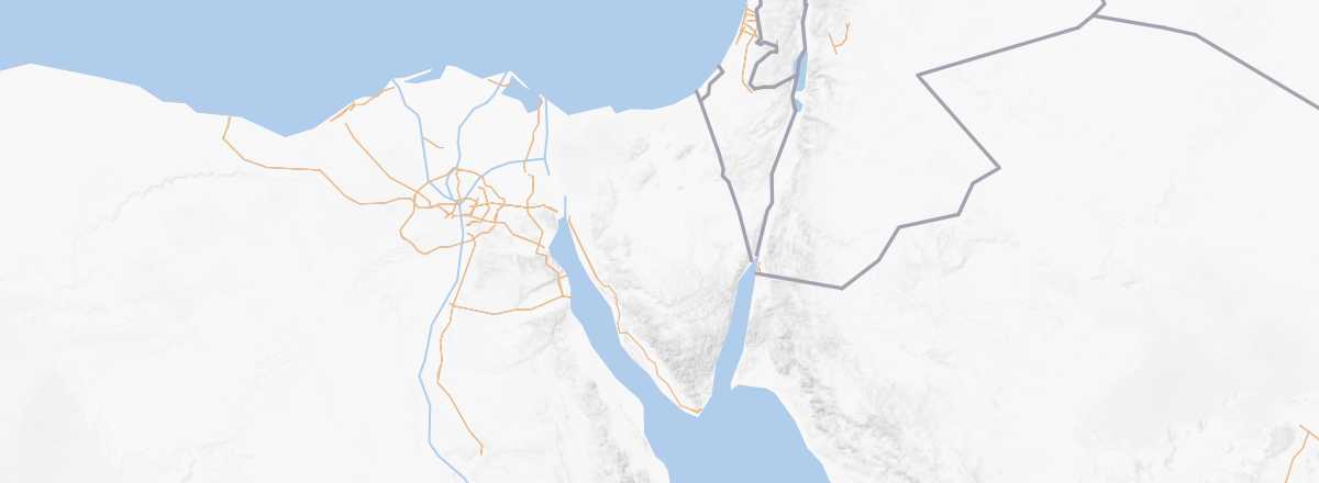
This vast triangular peninsula of around 60,000 km² is located between the Mediterranean and the Red Sea. Its mountainous southern part is home to Mount Saint Catherine, the country's highest point at 2,642 m. Along its south-eastern coast are some of the country's main beach resorts, such as Sharm el Sheik and Nuweiba.
Overview
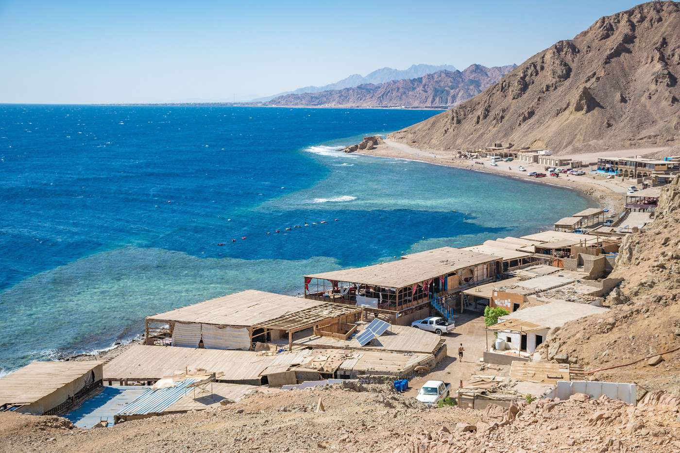
Sinai is a vast triangular peninsula of around 60,000 km² located between the Mediterranean and the Red Sea. Its mountainous southern part is home to Mount Saint Catherine, the country's highest point at 2,642 m. Along its south-eastern coast are some of the country's main beach resorts, such as Sharm el Sheik and Nuweiba.
Warning: Sinai is currently completely advised against for security reasons by the French Ministry of Foreign Affairs, except for the coastal strip from Sharm to Taba, which still requires the utmost vigilance outside the beach resorts.