Wednesday 30/09 Morcenx 9 AM - Mimizan town 7 PM, 86 km
Dominique wants us to reach the ocean and follow the coast. I'm enthusiastic as long as we sleep indoors. We leave the tent and our sleeping bags behind.
10 km after Morcenx, we cross over the A63 and discover a brand-new Greenway: it's the "piste du résinier" (resin worker's trail) that leads to the Greenway from Lesperon to Lévignacq, which continues all the way to the ocean via Uza and Lit-et-Mixe. We feel like kings in the middle of the pine forests or moors after clear-cut areas that are later replanted. We ride easily (especially since the offshore wind is in our favor) in the heart of nature on a surface worthy of a highway—with no cars. The heather and the first autumn colors delight us. My odometer shows 213 km when we reach the ocean at Cap de l’Homy. We’ve truly traveled due west while staying on the same latitude: Valence d’Agen (latitude 44.1°, longitude 0.89°) to Cap de l’Homy (latitude 44.0°, longitude -1.34)—we’ve just crossed the Greenwich meridian.
As we lock up our bikes, a tourist from the Alpes-Maritimes approaches us to share his enthusiasm for the Landes region and bike travel. (I take the opportunity to put on my swimsuit.) Fabulous! Once past the dune, there’s no wind. We arrive at low tide during a high full-moon coefficient. The Atlantic is almost like a lake. Dominique asks a woman lying on the sand if she can watch our handlebar bags. But he got it wrong—the cyclist’s wife is next to her under a parasol while her husband swims. She gladly agrees to keep an eye on our papers. I wade into the water easily, helped by an arm warmed by the sun. Dominique just dips her feet. Too bad, it must be 19°C.
We get back on our bikes to have a picnic at a table a little further inland.
The bike path then takes us to Contis Plage, where this time Dominique is determined to swim. Since I’m digesting, I’m less motivated, but the weather is so nice that I join her.
In Mimizan, the beach is off-limits due to military exercises. That doesn’t bother us since we’ve already enjoyed it plenty. At the Tourist Office, we opt for the off-season rate of 42 € for a guest room in Mimizan town. A bike path leads us there. We then dine on the terrace of the Hôtel du Centre. For the return trip, we appreciate my headlamp to get back to the place called Chéou, as the full moon must be hidden by some clouds.
Today, Ségolène Royal announced that the bike mileage allowance would be 25 cents. That’s good news after talk of 12 or 15 cents. Unfortunately, there will be no obligation for employers to offer it: http://actuvelo.fr/?-L-indemnite-kilometrique-velo
Facteur4 : Objectif pour 2050 de diviser par 4 l'émission de gaz à effet de serre.
Thursday 01/10 Mimizan 08:15 AM - Morcenx 3:30 PM, 74 km
After breakfast and a few chats with our host, we head towards Lake Aureilhan and circle it under the sun. The sandy path makes progress difficult. Dominique shows me the flower-lined walk and the nautical center. Then we take the return route, choosing quiet roads. We picnic in the garden of an abandoned second home, using two concrete blocks as seats. We reconnect with the cycling paths of the Morcenais region. After tasting the sulfur water from a spring reputed to help with arthritis and picking some parasol mushrooms, we arrive in Morcenx at 3:30 PM. Without our luggage, Dominique takes me to discover Lake Arjuzanx. It fills the former open-pit lignite mine that powered the nearby old power plant. This leisure base was recently equipped with a beach and a lifeguard post for busy periods. I swim in the waves created by the wind after circling the lake on a very sandy path. A trail is set up from the beach for the return.
Our dinner doesn’t differ much from the first one, except for the variety of mushrooms. Omelet and local ham, accompanied by *bourret* (in Gascon, it’s fermenting grape must that isn’t yet white wine). It’s so fizzy that you have to poke a hole in the bottle’s cork.
Facteur4 : Objectif pour 2050 de diviser par 4 l'émission de gaz à effet de serre.
Thursday, October 2nd – Morcenx 10 AM to Valence d’Agen 4 PM – 28 km
We take the train to Mont-de-Marsan where the railway line ends. Then, we take the coach to Agen.
As I open a compartment in the luggage hold to stow my bike, Dominique, who never hesitates to ask, got permission to put them inside the passenger area. The driver opens the central door after having to unlock the safety mechanisms several times. Our mountain bikes fit into the wheelchair space. Dominique secures them with the bungee cord we found on the road the day before. The route is long and scenic, with a stop in Barbotan where I have time to visit the tourist office. The driver, taking a drag on her cigarette, tells us a bit late about a small garden. She sometimes has to wait 2 hours for her shift. I mention that her coach displays "Marmande." She resets it. Although the estimated arrival time displayed keeps increasing oddly along the way, we get off at Agen station at 1:15 PM as scheduled on the timetable provided by the Aquitaine region.
The recently renovated station is very pleasant, but there’s still no way other than stairs to change platforms. However, the pedestrian and bike bridge that spans the entire rail network to reach the lateral canal of the Garonne has been redone and is more convenient.
We only had to ride 28 km on this final day. Total: 358 km of biking and pure delight for the eyes. I thank Dominique for dragging me into this amazing trip, which makes me want to go back to Les Landes.
Here we are on the Greenway from our frequent rides. This cycle route just got its website launched and its itinerary extended all the way to Royan. It will be a great invitation to travel once it’s properly developed.
Here’s the information reported by Julien Savary from AF3V:
The website for the "Canal des Deux Mers à Vélo" (Royan-Bordeaux-
Toulouse-Sète), or Cycle Route V80, launched in June, even though
over 240 km are not yet developed!
A "Route Committee" was created in 2014 to develop Cycle Route V80, which will run from Royan to Sète, following the Gironde estuary, then the Garonne canal and the Midi canal. This committee chose the following "commercial" name for the cycle route, which will eventually be over 90% Greenway along the canals: "Canal des 2 Mers à Vélo." In June 2015, France Vélo Tourisme launched a website describing the 800 km of this cycle route as "open." This is surprising because over 35% of the route is not yet developed. There are 40 km missing in Charente-Maritime and Gironde, and along the Midi canal, 100 km in Aude and 100 km in Hérault. These undeveloped sections (over 240 km), currently consisting of 200 km of dirt paths with holes and roots, and mud in winter, are labeled as "temporary routes"!! Unfortunately, no kilometers have been developed along the canal in Aude and Hérault for the past two years. AF3V is calling for the start of work to develop a real greenway with a hard surface along the Midi canal. Because Cycle Route V80 especially needs investment to become a reality—a cycle route open to all, in all weather, along its entire length, including the most beautiful part, the Midi canal.
Check out the website: www.canaldes2mersavelo.com
The Canal des 2 Mers à Vélo will have continuous, uniform signposting
by 2016, except in Aude and Hérault
A steering committee meeting for the national Cycle Route No. 80 "Canal des 2 Mers à Vélo" took place on Tuesday, October 6, 2015, in Montauban. AF3V was invited. The committee continues its work after the elections and subsequent changes, and finally, Haute-Garonne joins the committee, while Aude confirms its commitment. A website for the route was launched by France Vélo Tourisme in June. Development along the Midi canal in Aude and Hérault (160 km missing) is not progressing (nothing planned, difficulties with VNF). Complete and uniform signage (same panels, cycle route logo) should be installed along the entire route starting in 2016, everywhere except in Aude and Hérault.
Facteur4 : Objectif pour 2050 de diviser par 4 l'émission de gaz à effet de serre.
Despite three email exchanges and follow-ups with TERaquitainesncf.fr, the Mont-de-Marsan to Morcenx schedules given by the SNCF app are still wrong, even after the switch to winter time. Someone finally called me to say I need to contact the national SNCF app manager.
It was on this train, on the bike hooks, that I found the bike-on-board notice (see scan).
It states that tandems, trailers, and tricycles are prohibited. That’s not very welcoming for families making the effort to travel by bike.
The translation of tandems, trailer bikes, and tricycles doesn’t reassure me about my Scorpion.
This is confirmed by the website:
www.sncf.com/...ager-avec-votre-velo
*Only standard bikes are allowed on board trains. The transport of recumbent bikes, tricycles, tandems, and trailers of any kind is not permitted.
Access to trains for all cyclists still isn’t a done deal, and COP21 won’t change that. While I was very pessimistic before it ended:
www.change.org/...polluants/u/14359026
In fact, it’s even worse:
www.bastamag.net/...ternational-devra-se
The Parties committed to presenting greenhouse gas reduction projects by 2020. In the meantime, we’ll keep *eco-paying* (in both senses of the term), and our kids even more so.
One way to push the government to do what it should is to donate to an organization that gives you a 66% tax deduction. I was invited by VNF’s communications team as a donor www.replantonslecanaldumidi.fr/fr to share my experience. After interviewing me, they’ll use my testimony—but without including this argument, which they deemed too subversive.
VNF confirmed that it’s the downy oak that will replace the Platanor, which isn’t resistant to disease, contrary to hopes placed in its selection:
Oaks to replace the diseased plane trees along the Canal du Midi
The prefect of the Midi-Pyrénées region announced on September 21, 2015, that to replace the diseased plane trees along the Canal du Midi (affected by "colored canker" and requiring felling—14,000 plane trees have been cut down in the past three years), the state would launch a large-scale replanting plan. The oak was chosen as the "landmark tree" to serve as the "reference species," with long rows of oaks.
Other species will be used as intercrops, such as linden, maple, poplar, and umbrella pine.
See the *20 Minutes* article from 09/21/2015: www.20minutes.fr/toulouse/1692007-
20150921-canal-midi-chene-retenu-remplacer-platanes-malades
See the article from 08/18/2015: www.ladepeche.fr/...015/08/18/2161314-2-
200-platanes-moins-canal-midi-poursuit-mutation.html
Back on the Greenway along the lateral canal of the Garonne in autumn, I noticed that my two requests to the Moissac town hall—left unanswered—weren’t useless, since the path along the Tarn’s banks was closed for winter (see photo) and a mud bath here: voyageforum.com/...post=6885471#6885471
However, in Montech, the kilometer markers are still wrong:
voyageforum.com/...post=6994647#6994647
A new email to the President of the Tarn Departmental Council got me confirmation that the correction would be made.
I didn’t hesitate to brave the fog and ride 85 km round trip to see that the departmental services had chosen the simplest solution: removing the kilometer marker for Valence d’Agen and also taking down the Montauban sign. The latter was necessary because it was on the wrong bank since the creation of the Greenway along the Montech canal.
Great news in this letter: the Lacourt-Saint-Pierre to Montauban section will be completed, finally linking Montech and Montauban.
www.af3v.org/...-VVV-.html?voie=421#
Another good piece of news: I discovered that Tarn-et-Garonne has marked the Greenway with the *Canal des Deux Mers* logo. Official name of the *Véloroute 80*: www.canaldes2mersavelo.com/
They also took the opportunity to replace the old departmental logo (green and white) with a multicolored one.
I’ll congratulate them again for installing barriers in 2015 to secure narrow passages under bridges. However, I’ll have to report once more that when coming from Castelsarrasin, the (green) sign for Montauban 10 km appears before the Montauban 12 km sign. The first was correct when you had to take the road bridge. The second is correct now that there’s a pedestrian/bike footbridge.
In Lot-et-Garonne, the *V80* doesn’t exist yet (though the Greenway does), but near the Agen canal bridge, the old water treatment building will be turned into a *vélostation*.
Info shared by Julien Savary:
A bike stop (café, workshop, hostel) in Agen along the Greenway
The city of Agen will transform the former water treatment plant, located near the canal bridge, into a bike service center. Called the *Café-Vélo*, this building will offer Greenway users a café-restaurant with a terrace, a bike rental-repair and maintenance workshop, and a 12-bed hostel (with showers, restrooms, laundry, and bike storage). It’s right next to the city center, along the canal and the Garonne. The restoration will respect the building’s historic character, highlighting this industrial heritage (e.g., the slate roof will be recreated). The total project cost is 1 million €. It will be a useful service hub for local walkers and cycle-tourists. Opening planned for 2017.
See the article from 09/26/2015:
www.ladepeche.fr/...halte-sur-leschemins-
de-la-voie-verte.html
See the article from 10/08/2015: www.ladepeche.fr/...08/2192968-de-lusine-
de-l-eau-au-cafe-velo.html
See the Agen city website (photos and project plans):
www.agen.fr/...te?id_actualite=8858
Today, a crane was removing a large container from the canal bridge access.
Facteur4 : Objectif pour 2050 de diviser par 4 l'émission de gaz à effet de serre.
I attended the Steering Committee meeting for the Canal des 2 Mers à Vélo (V80) route, which took place on March 7th at the Departmental Council in Montauban, representing www.af3v.org/, an association I’m a member of.
Launched at the end of 2012 by the Tarn-et-Garonne department as part of a destination contract signed in 2013 with the Ministry of Tourism, France Vélo Tourisme, and various institutional partners, the route committee was created at the end of 2013 after raising awareness among all the departments and regions involved. It benefited from support by France Vélo Tourisme, which provided project management assistance to the route’s leader due to the lack of dedicated staff for the committee.
At the end of 2013, a partnership agreement for 2014–2016 was signed between the Tarn-et-Garonne Departmental Council and the partners interested in the project. With Haute-Garonne joining the committee at the end of 2015, all seven departments along the Royan–Sète route are now involved.
Charente-Maritime (ACCEUIL VÉLO agreements with providers: 14)
Drafted the signage charter according to CERTU (Centre for Transport, Urban Planning, and Network Studies) standards, including route identification, and sent it to the departments to implement signposting in their respective areas.
Installed signage on the definitive sections and orange panels on the temporary sections.
Set up solar-powered flashing signals to warn drivers on shared road sections.
Gironde (ACCEUIL VÉLO: 18)
Will train staff on the Blaye–Lamarque ferry to better welcome cyclists.
As part of the brand’s rollout, new Accueil Vélo Repair and Rental labels will now be distinguished. Added the Accueil Vélo Restaurateur label.
Lot-et-Garonne (ACCEUIL VÉLO: 19)
Will implement signage in 2016.
Tarn-et-Garonne (ACCEUIL VÉLO: 26)
Installed signage in December 2015 (see photo in my previous post).
I asked for the expected completion date of the Voie Verte along the Montech canal (6 km completed between Montech and Lacourt-Saint-Pierre, with 4 km remaining to Montauban).
This development can only be carried out after the banks are reinforced by Voies Navigables de France (VNF) and may not be possible until 2017.
Haute-Garonne (ACCEUIL VÉLO: 10 in progress)
Faces challenges due to the UNESCO World Heritage classification of the Canal du Midi.
The signage charter does not account for this classification.
A contact at the DREAL (Regional Directorate for Environment, Planning, and Housing) suggested that special versions of the signs may be necessary.
Aude (ACCEUIL VÉLO: 0)
A sticking point in negotiations with the DREAL. The UNESCO classification may prevent the creation of a paved cycling path along the towpath of the Canal du Midi.
Site inspectors are refusing to develop the *rigole de la plaine* in the Aude, even though it has been done in Haute-Garonne. They are requesting an ecological and landscape study.
There is now a set of specifications accompanying the UNESCO classification that did not exist when the Canal du Midi was designated.
Hérault (ACCEUIL VÉLO: 0, but quickly achievable as some accommodations are already labeled)
A study for the DREAL estimates the cost of development at 7 million €.
Jean-Paul Delachoux, president of the association of 156 municipalities along the canal, warns:
Following the report by Prefect Sabathé on the Canal du Midi:
www.ladepeche.fr/...-is-stunning.html
He fears a split between the *Canal latéral à la Garonne* and the Canal du Midi, which will receive special treatment—contrary to the goal of this steering committee.
The creation of a new body solely for the Toulouse–Sète section is very concerning!
Presentation by www.advansolar.com/
They presented their solar solutions for electric mobility.
It could be possible to install autonomous charging stations (not connected to the electrical grid) every 30 or 40 km for e-bikes, possibly combined with bike rentals, tourist office information panels, or Wi-Fi.
For 2016:
The steering committee agreed that Kilometer Zero is located in Toulouse. The route north of the *Ville Rose* will be numbered from south to north, and the route south of Toulouse will be numbered from north to south to respect existing kilometer markers.
The Infrastructure Technical Committee proposed an inventory of infrastructure and vertical signage for the Voie Verte:
A table was created to pool data from all departments and send it to ON3V (National Observatory of Cycle Routes and Greenways). Departments are encouraged to update this data every six months.
Pedestrian and cyclist counters need to be geolocated.
A national report on usage is needed, along with a new survey.
VNF, which had launched the first usage survey, is not participating in the steering committee despite being invited.
Promotion & Communication
The 2015 promotional brochure, printed in 10,000 copies with support from Languedoc-Roussillon and Midi-Pyrénées, will be reissued in 2016 with updated partner logos and the addition of Haute-Garonne:
10,000 copies in French, 5,000 in English, and 5,000 in Dutch.
The route will have a stand at the *Salon Mondial du Tourisme et Destination Nature* in Paris from March 17 to 20.
Participation in the Berlin 2016 trade show.
Press Relations
The Technical Committee organized a press trip at the end of 2015, with expected coverage in spring 2016.
The route was represented at the *DEPTOUR* meetings in Paris in January. Around thirty journalist contacts were recorded for potential reports in 2016.
Local market communication campaign:
400,000 copies distributed in *La Dépêche du Midi*, *Midi Libre*, and *Sud Ouest*.
Promotional video
Filming completed in 2016:
A long format showcasing all the tourist highlights of the route.
A teaser highlighting the major sites online.
A week of promotion in Toulouse:
A tourism space will be set up in the city center in the spring.
Web marketing in partnership with France Vélo Tourisme
Outreach to private websites to develop partnerships.
Implementation of i-frames on partner tourist office websites.
News distribution via social media.
Hosting bloggers (e.g., *Graines de Baroudeurs*).
Opening an Instagram account to share testimonials.
Additions to the website www.canaldes2mersavelo.com/:
Work updates.
Working group for outreach to tour operators.
Publication of a *Guide du Routard* (cost: 40,000 to 50,000 €)
Postponed pending feedback from the *Vélodyssée* guide, but mainly due to issues with the Canal du Midi. Permission from VNF is still required to cycle on the towpath in the Aude and Hérault.
I’ll add that it’s far from being usable year-round.
Reminder: The *Canal des 2 Mers à Vélo*, with its 800 km, cannot qualify for the EUROVELO label as it is under 1,000 km and does not cross two countries. However, it may qualify for European subsidies for its development.
An economic observatory is needed to measure the tourism impact.
In this third year of the program, a new partnership agreement must be planned.
I was able to speak as a cyclist:
"I live in Valence d’Agen, and it was the towpath that got me into bike travel.
Because it’s beautifully flat and sheltered from traffic. I gradually made my way to Toulouse and then cycled the Canal du Midi five or six times. Once the *Canal latéral à la Garonne* became a Voie Verte, it took me all the way to Bordeaux, then to the Arcachon Basin and its many cycling paths. I congratulate Tarn-et-Garonne for their work.
Ladies and gentlemen, you’re convinced of the canal’s tourism potential. I’d like to add that it can also be used for professional trips. I’ve traveled to Bordeaux on business twice. I wouldn’t have considered it without the cycle path. I was lucky enough to go to Lyon for a training course in June. I cycled there via the Canal du Midi and then the *Canal de Sète au Rhône*. I was embarrassed when, one evening at a hostel near Carcassonne, a German woman told me she’d spent the whole day riding through mud.
I’m surprised that the *Canal des 2 Mers*, which has national and even international appeal (I’ve met cyclists from Korea and Argentina), doesn’t receive state support."
The representative clarified that the state contributed 10,000 € to the steering committee’s funding only in the first year for the launch and is working to facilitate its implementation.
(Each department contributes 5,000 € annually, the region and the association of municipalities contribute 10,000 €.)"
Facteur4 : Objectif pour 2050 de diviser par 4 l'émission de gaz à effet de serre.
Morcenx 2 (the return)
With my friend Dominique, we wanted to go back to the cycle paths in Les Landes, but this time, instead of heading north (Mimizan), we decided to go down to Biarritz.
In a week, we couldn’t make the round trip from Valence d’Agen. So, I looked into returning by train. There are trains from Biarritz to Toulouse, but none accept bikes. We’d have to go to Bordeaux, which means taking 2 or 3 TGVs and paying 10 € per bike each time.
And then, we’d still have to take a train from Bordeaux to Agen...
(I finally figured out why my smartphone gave me crazy schedules between Mont de Marsan and Morcenx during our last trip. After several complaints on the TER Aquitaine website, someone called me to explain that the SNCF app aims to provide info for the *entire* route between departure and arrival—including walking, buses, and trains. Maybe a bit too ambitious! I don’t think it’s fully functional yet, or maybe I just don’t get how to use it.)
Since coaches between Biarritz and Toulouse don’t take bikes either, I checked carpooling. It seemed tricky with two bicycles. I looked into *cocamionnage* (truck-sharing), but while space wasn’t an issue, the few companies that offer it only go to Bordeaux.
The only option left was renting a car. In Biarritz, Europcar offers a Peugeot 208 for 60 € for one day if you return it to the same location. If you return it to Agen, it’s 600 €!
With Avis, there’s no extra charge for dropping off at a different city.
However, my friend wasn’t up for the Gers hills since he’d injured his foot on his motorcycle and wasn’t in training. So, we loaded our MTBs and luggage into my 2000 Xsara Picasso (gasoline) to drive to Morcenx. Good call—it was raining on Sunday, May 22, 2016. (The Zoe didn’t have enough range, and there were no fast-charging stations along the route.)
After 190 km (2 days of biking), we arrived in Morcenx. I filled up the tank (just in case, due to protests against the labor law) and parked the car at the garage of Dominique’s parents’ old house, where we slept.
Monday, May 23 – Morcenx 9 AM to Léon pond 4 PM: 67 km + 16 km (local) = 83 km
After taking departure photos, we rode about 10 km on the small road through Garosse and Sindères to reach the A63. After crossing over it (like we did in September), we followed it for 3 km until the start of the *Voie Verte du Résinier* (see the photo at the top of this page).
Off we went for dozens of kilometers of cycle paths and pine trees, except for village crossings.
Pure bliss! Made even easier by the 1 € brochure I’d bought at the Lit-et-Mixe tourist office. You can download this well-designed map as a PDF here:
www.cotelandesnaturetourisme.com/...rir/A-pied-...
We took the Vignac path, then the Cap path, to reach the *Vélodyssée*.
The only downside? If it starts raining, there are no shelters along the route, which alternates between moorland and pine forests. Especially since foresters trim branches as the pines grow to avoid knots in the wood.
Luckily, we reached Lit-et-Mixe around noon when it started raining. We took shelter under the gazebo in the public garden. While Dominique watched my MTB and chatted with two local cyclists, I went to the grocery store (which also sells bread, since the bakery was closed on Monday). I came back with chips, Swedish crispbread, and a cheese *tourteau*—which turned out to be dry and almost flavorless. The season hadn’t started yet.
Dominique asked the bar if we could eat on their terrace in exchange for a drink. Thanks to him, we were well set up and sheltered from the rain (see photo).
After eating, the rain stopped. This time, we didn’t go all the way to Cap de l’Homy. We took the *Vélodyssée* (EuroVelo Route 1): www.lavelodyssee.com/...e-latlantique-a-velo south. Too bad it’s always 2 or 3 km inland. A bike path right along the ocean would be tough to build, especially since the dunes are essential for protecting the coastline.
After about 50 km, we stopped to see the ocean at St Girons Plage. I couldn’t resist a swim. Didn’t even have time to get cold—I got knocked over by the waves 3 or 4 times. The friction warmed me up. Dominique, taking photos with my smartphone, looked a little worried seeing me tossed around by the waves.
I got dressed without feeling cold, despite the 15°C water and 17°C air—my body was pumped from the elements. Of course, if I’d driven here, I wouldn’t have even considered swimming.
Every kilometer, we saw signs pointing perpendicularly: "52 km," then "51 km..." No idea what that means, since the EV1 runs parallel to the ocean. If anyone knows, feel free to share!
We reached the Léon pond via the *Voie Verte*, which loops around it before crossing the town of Léon. There, we found *Camping du Col Vert*: www.colvert.com/
Even though the pitch was 15 €, our first thought was to skip this 4-star place and look elsewhere. But on our way back from the pond’s edge, I spotted the indoor pool and saw it was open (a few swimmers were there). I said, "At this price, it’s worth it." At reception, a trainee helped us select the *Vélodyssée* package, and we paid 10.22 € (including tourist tax) for two cyclists and a tent.
I got to test the tent I’d just bought: www.decathlon.fr/...ht-2-id_8245650.html
I was tired of 1 kg tents for 20 € or 30 € with no double roof, full of condensation, and so cramped I nearly got claustrophobic.
After setting up, we enjoyed the pool and lounge chairs.
Then Dominique checked if a restaurant was open, and we headed to the opposite side of the lake for dinner after crossing Léon. The signage in this area was so bad that someone had put up a handwritten *Vélodyssée* cardboard sign.
We were underdressed in our lightweight sleeping bags and got cold all night—even feeling the cool air on our faces. Confirmed: with everything zipped up, the tent is well-ventilated.
Facteur4 : Objectif pour 2050 de diviser par 4 l'émission de gaz à effet de serre.
Tuesday, May 24th – Étang de Léon at 9:30 AM to Anglet at 7:30 PM, 97 km
We enjoy Dominique’s stove to have some hot chocolate, then tea or coffee.
Since rain is forecast for tonight, we book accommodation at the Family House of our works council in Anglet. We take advantage of Léon’s market to buy cherries, tomatoes, sausages, sheep’s cheese, spring rolls for me, and nem for Dominique. First stop in Vieux Boucau, where a dredger clears the algae. With board and lodging secured (we’ve also booked dinner), we can do some sightseeing. As another greenway invites us, we leave the EV1 to head to Soustons and have a picnic by its pond. A squirrel approaches several times, drawn by the pieces of bread my friend offers it. We then take the D652 toward Tosse and head back toward the coast between Étang Hardy and Étang Blanc. The latter is dotted with duck-hunting cabins.
We pick up the Vélodyssée again north of Seignosse and tackle an urbanized stretch of the coast.
We stop for a drink in front of Capbreton’s beach, then continue toward Labenne and Ondres. One thing worries me: the signs with the circled 1 and European stars point to Bayonne. I don’t want to go there because the city is at least 5 km inland. I hope to reach Anglet via the coast but fear getting stuck at the Adour River. An information sign showing two routes—one to Bayonne and the other to Anglet—reassures me. But at a roundabout with lots of Vélodyssée signs, we no longer know where to go. A couple with a dog spontaneously gives us directions. Luckily, because I was about to take a dead-end along the coast. We actually have to go all the way to Bayonne and take the red bridge to cross the river. Here we are on the D810, a busy road at 7 PM. We call to say we won’t arrive before reception closes. Fortunately, our keys and sheets will be waiting for us. For now, we cross Boucau’s industrial zone amid a constant flow of trucks and cars. Only one EV1 sign as we approach Bayonne’s center. Luckily, once we cross the Adour, the bike path resumes along the river until the coast. After 90 km, at the estuary, I say we have a choice: continue on the EV1 along the ocean to Anglet or take a boulevard that runs alongside a park and golf course. Thinking it’s a bit shorter to reach the Family House, I first guide us onto a path labeled as a bike path in the park. But it looks more like an MTB trail due to the successive elevation changes, so I abandon it—which doesn’t please a driver who would’ve preferred to see me on it. Since we’re both exhausted, these last 5 km feel very long. Especially since Dominique, who like me has stayed at the vacation center before, tells me that’s not the way.
I insist it is, saying we’ll turn right at the next roundabout. But after a few intersections, I start doubting—driving gives such a different perspective. We turn on our smartphones’ GPS. They confirm we’re close. But a cyclist asks, “Where are you going?” He offers to guide us. He accompanies us for 1 km, then says it’s very close before leaving. Despite his directions, we can’t find the street or the building. I check the GPS again, which sends us the wrong way because I’d disabled location tracking while following the man. A little annoyed, Dominique asks a pedestrian, and we finally recognize the area. Phew! A cyclist staying there leads us to the bike garage. Just enough time for a shower before a comforting meal awaits us. A colleague from Douai joins us at our table. He took 1.5 hours to find the place by car because his GPS, where he’d saved the location after a friend guided him to the Family House, broke down, and he didn’t know the address…
Facteur4 : Objectif pour 2050 de diviser par 4 l'émission de gaz à effet de serre.
Wednesday 25/05 Anglet 09:30 AM – Léon 6:00 PM, 76 km
Since no rain was forecast, we decided to return to the Col Vert campsite. We quickly found the EV1 route on the beach. It then follows the Adour River toward Bayonne. A driver waved at us—it was the same person who had shown us the bike garage and was visiting his mother. I regret not giving him my card because he’s planning a bike trip. We crossed the red bridge and prepared to tackle the industrial zone. A cyclist called out to us and offered to guide us to Capbreton, where he was headed. He showed us the shortcut via the "piste des Allemands."
We chatted along the way. This Bayonne local was thrilled to ride at our pace (15–18 km/h). Usually, he struggles to keep up with his wife and arrives exhausted. I suggested he load her up with a trailer and the luggage since they’ll soon be following the *canal latéral à la Garonne* and the *canal du Midi*. According to him, she’s incredibly sturdy—she swims in the ocean year-round.
More immediately, he plans to go to Morcenx and stay overnight. Why, you ask? Because a *Voie Verte* ends nearby, and another begins there. In fact, we’ll take the second one on our way back to check it out. He even bought us a drink before we parted ways (he had a 4:00 PM meet-up). We had a salad with chicken and fresh peaches—not very warm—on a shaded terrace. After a photo of Capbreton’s public garden, we set off again. We swapped our MTBs for slightly trendier Fatbikes (see photo) and left the route to follow Hossegor Lake. We rejoined it at Seignosse Beach, puzzled by the same question: Why does the sign say *Léon 25 km* to the SOUTH? Continuing north (I even checked my compass), we found a sign for *Léon 23 km* in front of the tourist office, confirming the error. The hostess said she’d look into it. I explained how surprised I was to have to go through Bayonne to reach Anglet and how we struggled in the 7:00 PM traffic of Boucau’s industrial zone before reaching the red bridge.
Are they waiting for kids on a family bike trip to get killed on the *Vélodyssée* before making improvements?
A pedestrian-cyclist footbridge near the coast would be a hugely useful solution for everyone.
Even though we were back in the Landes (and thus not Bayonne’s responsibility), she went to fetch a brochure of the major cycling routes in the Pyrénées-Atlantiques.
fr.calameo.com/...00024149e1d968e660c4
(They hadn’t offered it at the Anglet tourist office.)
She showed me a project to follow the Adour River on both banks. (Julien Savary later confirmed it’s supported by www.af3v.org/index.php.)
After some shopping and a well-deserved beer in Léon, we arrived at the campsite at 6:00 PM. I told the hostess that reasonable prices keep customers coming back and that I didn’t understand why they didn’t advertise the *Vélodyssée* rate on the outdoor sign. With the EV1 so close, many would be tempted. She mentioned the pool closes at 7:00 PM—luckily, because if we’d started by pitching the tent, we wouldn’t have had time to enjoy it.
We had dinner at the tables near the barbecues, appreciating the bouillon cubes and vermicelli I’d packed. We finished our digestive walk around the campsite (35 hectares) just before the 10:00 PM rain. Despite the cloud cover, we didn’t get cold that night.
Facteur4 : Objectif pour 2050 de diviser par 4 l'émission de gaz à effet de serre.
Thursday 26/05 Léon 08:30 Morcenx 14:30 63 km
We were woken up at 5:30 by the birds chirping (luckily we’re on summer time). There’ll be some laundry to dry. We let ourselves get carried away by the Vélodyssée. While checking the trail map, I imagined we were in Léon, but we’re actually 5 km north, by the Léon pond. Since I was unsure at an intersection, an elderly gentleman on a road bike gave us directions. We should’ve taken the direct route to Veille to find the Greenway leading to Castets. It’s the Lo Camino de Hé trail, which is really pleasant through the countryside. We didn’t come across anyone for 23 km except for a whole primary school. Some of them even had little training wheels—it was charming. Lots of volunteers were accompanying them, and the group stretched out over several kilometers. We squatted on the terrace of a grocery bar that seemed abandoned. We doubted it at first because even the umbrella was still there. Turns out they were on holiday from May 17th to 27th. We sat like kings, sheltered from the rain, and it wasn’t even cold. Still, we had to ride about 20 km in the rain. But it didn’t matter because we made it home. In one village, the *Relais des Assistantes Maternelles* had set up at the school.
Summary: 319 km in 4 days with pretty good luck for the weather (the rain fell at the least inconvenient times) and discovering a well-located **** campsite relative to our range.
Dominique was happy to tell his wife that we’d only spent a total of 107 € each, all included. That’s thanks to camping and picnics.
Actually, we should add 400 km by car. It consumes 7L/100km, which comes out to 0.10 €/km. Dominique had offered to split the fuel costs, but I told him no. Next time, he can take his own vehicle. Because I really want to go back to Morcenx—it’s perfectly situated to enjoy the cycling trails in the Landes.
Besides, my previous car (a 406 with the exact same 117 hp engine) cost me 26 cents per km:
Purchase (buy-sell) 0.11 €/km, insurance 0.02 €/km, maintenance 0.03 €/km, fuel 0.09 €/km.
I don’t understand why, when comparing with the train, people only count the fuel. I wear out my car with every kilometer and risk an accident with every turn of the wheel. I base it on 0.30 €/km, not even counting the pollution, which is priceless…
Facteur4 : Objectif pour 2050 de diviser par 4 l'émission de gaz à effet de serre.
Just like a year ago voyageforum.com/...post=7089660#7089660
I took part in the bike ride organized by Philippe Lasnier from www.afvelocouche.fr/
velorizontal.bbfr.net/...u-18-au-26-juin-2016
Along with his wife, we joined the home of the second organizer, located near Cahors, on recumbent tricycles.
This year, the route starting from there made a 390 km loop between the Lot and Aveyron regions.
I enjoyed this edition much less (I must say that last year I had said everything was perfect) because out of 10 recumbent tricycles, 6 had electric assistance. Some used it in moderation, but others were used to riding alone and draining the battery over the day.
I often found myself last, and that position is uncomfortable since, classically in any bike ride, the group leaves when the last one arrives. But above all, since I don’t like holding others back, I couldn’t stop at leisure to layer up or down, apply sunscreen depending on the weather, have a drink, or take a bathroom break. Even taking a photo only became possible once I caught up with the group.
All these things become easy with an electric motor. Plus, it adds safety to quickly clear an intersection or pull over when a vehicle approaches. The recumbent tricycle is great for chatting side by side without worrying about throwing the other person off balance.
The cumulative positive elevation gain over the week was 4800 m, and the necessary gear for autonomous camping created many gaps. The difference in equipment also caused tension (36V). Indeed, when a triker uses their motor brake to regenerate their battery and breaks another’s momentum, it provokes their anger. While the climb is very slow, the descent can be very fast (max 56 km/h for me—I’m a scaredy-cat on top of that!). Some daredevils have already reached 83 km/h. It’s necessary to keep your momentum to tackle the next climb, but it becomes essential if others have assistance.
Since I often held the group back, one participant (who didn’t have assistance) felt entitled to ask if I had health problems. I replied that I hadn’t trained because my last rides were on an upright bike (it’s not the same muscles at work). When he insisted, I told him that muscles, like fat, don’t stick to me. I could’ve added that as a Norman who moved to the Garonne Valley, I’d never biked in the mountains. Twenty-five years ago, staying in Luchon, I tried to climb to Bagnères de Luchon in first gear on my MTB (21 speeds). After 1 km, I turned back. Actually, with the tricycle, I could’ve made it. There’s no need to balance, for example. In Rieupeyroux, we crossed the town at 2–3 km/h.
A participant suggested that assistance might be a solution for me. I replied that I’d allow myself a motorized tricycle at 90. I’d motorize the help then.
I was glad I had a small chainring added: voyageforum.com/...post=7072067#7072067
Paired with the Rohloff (14 speeds in the hub), I stayed in that gear the whole ride. Except for the pre-stage and post-stage, where I used the big chainring.
Actually, I’d never have bought a tricycle if the Voie Verte along the lateral canal of the Garonne didn’t exist.
Especially since, eventually, it’ll go from Royan to Sète: www.canaldes2mersavelo.com/
I once climbed at 4 km/h in full sun, and it’s only human for someone with assistance to cut the suffering in half by climbing twice as fast.
Anyway, you have to wait for the last ones at the top (in the shade). Unfortunately, one participant had to leave us in Conques to attend a friend’s funeral in Grenoble—a situation I always dread when traveling. I’d feel quite helpless, far from any train lines. Even more so with a tricycle, which is banned by the SNCF. His wife came to pick him up from Arcachon. They loaded his trike, fairing, and trailing wheel with panniers into their big Picasso. They hit the road after dining with us at the campsite.
In these circumstances, with a heavily loaded trike and no assistance, I doubled my efforts.
Every time I went ahead to gain ground, I didn’t have much luck.
The first time, I was left behind by the lead cyclists but ahead of the last ones. I set off alone toward Rieupeyroux but couldn’t catch up. So, before entering the town, I decided to turn and descend, knowing the picnic was by the lake. After a steep descent, I ended up in a dead end at a place called Gentil. An elderly lady, alerted by her dog, opened a private path to save me from having to climb back up. She showed me the way, repeating the directions with, of course, a lot of *gentillesse* (kindness). Philippe borrowed his wife’s trike (without the trailer) to go fetch the first ones waiting higher up.
Leaving Cahors first, stopped at an intersection, I no longer saw anyone following me. Not having the courage to go back down, I waited. I asked a jogger who confirmed I hadn’t taken the wrong road—they’d all stopped for a flat (the only one).
Another time, on a less steep climb, I was leading to keep my momentum. Seeing the sign for Laburgade, I thought I had to turn left. I waited without shade until my phone rang to tell me I should’ve turned at the previous intersection. Too much! Even in front, I managed to make the group wait.
Too bad—I was starting to get ready for this ride by the end of the week. No, it’s mostly that the terrain became less steep. Since I don’t have much torque (power) in my legs, I compensate by spinning. But that’s only possible over a short distance—typically a small bump after a descent, followed by another slope where the effort is worth it to keep momentum. On a long climb or without momentum on a short one, I have no choice but to use the smallest gear and climb very slowly.
But what comfort to benefit from this high-quality organization with reserved campsites and a pre-checked route. The group leaders never failed to point out points of interest while keeping an eye on our tricycles while we went to see a building, a dolmen, or a washhouse...
Thanks to Philippe and André. Thoughtful, they’d warn us if we were about to tackle a climb so we could remove layers or a descent so we could put them back on.
We started with rain. The morning after the first night of camping, where I was cold in my thin sleeping bag, it was 8°C. Luckily, the campsite in Villefranche-de-Rouergue had a lounge with tables where I had breakfast. I’d also dined there and read my newspaper until the match started on TV.
www.change.org/...;utm_medium=copylink
Then we had heat and enjoyed the stunning landscapes. I was able to swim in the Lot but couldn’t swim against the current. The campsite owner told me I was the first of the season and that the water was 16°C. The next day before lunch, I swam in the Célé, and in the evening, in the Vers.
Since I couldn’t help but say that all these hilltop villages look like Conques and all these rivers are ugly, at the morning briefing of the second-to-last stage, I’d said: “Watch out when arriving at the campsite—it’s raining in Vers.” It was prophetic. Before 10 PM, a violent storm hit our tents. The dike protecting us from the rising Lot also trapped the rain. Some, slightly in a hollow, saw their sleeping mats turn into waterbeds. One of them, invited by his neighbors, left his tent for the night. This let me confirm that my tent and VAUDE panniers are waterproof, but not my saddlebags:
www.radicaldesign.fr/...oches-laterales.html
But they’re not meant to be. They’d make a better pool!
Total: 561 km in 46 hours of riding, so still an average of 12 km/h for me.
Thanks again to André for his hospitality and kindness. I was able to help him out when he lost a bolt on his chain guide, but not with welding the trailer drawbar—he had to get that fixed at a mechanic’s.
Thanks to Philippe for picking me up almost from home, for his perfect organization, and for his very complete trip report: www.as3r.fr/...voyage-51-page1.html
Thanks also to his wife for improving the visibility of my flag:
http://velocouche.ch/wp/boutique/fanions-hp-velotechknik/
The orange wasn’t bright enough, so she sewed on fluorescent yellow and orange strips.
PS: Rereading this, I realize I used the word *assistance* six times. It’s indeed the word that will characterize this *Vélorizon* for me. It’s great that it allows trikers who couldn’t otherwise participate to join. But it’d be a shame if it prevented others who could do without...
Video here: share.orange.fr/#Ad5pwsehQA19c7308fdb
Sort by name and select ascending order to see the photos in sequence here: share.orange.fr/#X0RS8rJD6h19c7309027
Facteur4 : Objectif pour 2050 de diviser par 4 l'émission de gaz à effet de serre.
After spending 10 days in Moissac, Francine, who took part in the Lot and Aveyron bike tour (see previous post) with her electric-assist AZUB, got back on her tricycle for the Arcachon Basin.
I joined her on the Greenway along the lateral canal of the Garonne between Valence d’Agen, where I live, and Agen.
I suggested a map of the cycle route: www.canal-et-voie-verte.com/...spots%2Fhotspots...
But her friends from Moissac had the same idea. I gave her some walnuts from my garden “for the road.” We visited the washhouses of Valence d’Agen and the old slaughterhouse, which has been turned into a rest stop. See photos here: voyageforum.com/...post=4229381#4229381
Then we rode on the Greenway to the Montalembert nautical stop, where we had a picnic. www.ville-boe.fr/...u/halte-nautique.php
In Nancy, she had equipped her tricycle with clipless pedals. It’s essential for a recumbent position to have your feet secured to the pedals. Noticing during the ride that we all had sandals and that it’s more comfortable in the South, she had ordered an identical pair from the campsite in Saint-Parthème, which I had found for her online. She received them in Moissac, but she hadn’t tightened the cleats enough. Luckily, she realized she couldn’t remove her shoe from the pedal on the canal bridge in Agen just before I left. Actually, she had lost a screw, and the shoe was pivoting on the cleat. I suggested going to a bike shop. Instead of heading back into the city center, I took her along the Garonne to the footbridge connecting Le Passage to Agen. Along the way, I thought the tricycle probably wouldn’t be able to access it. Indeed, it’s already tricky with a loaded bike (see photos). I left her at the café terrace just before the bridge. Good thing I had taken my upright bike. The bike shop www.comptoirdu2roues.com/
told me it would take hours to find a matching screw in his workshop. I called Francine, who agreed to buy a pair of cleats—we’d only use one screw. I tightened all four enough, and we parted ways after she bought me a farewell drink. She’s going to camp near Buzet and then head for the Bazas-Mios trail: www.af3v.org/...he-VVV-.html?voie=17
I crossed the canal bridge in Agen again, which has been renovated: www.sudouest.fr/...ges-1806893-3809.php. It looks fantastic (see photos).
However, no sign of work starting at the old water treatment plant:
www.agen.fr/...te?id_actualite=8858
Facteur4 : Objectif pour 2050 de diviser par 4 l'émission de gaz à effet de serre.
I arrived at the opening of the hiking fair in Moissac (Friday at 2 PM) and was one of the first two to drop my ballot in the box after checking out the stands. The other gentleman said we’d have no chance of winning. Turns out, I later learned from a letter from the Montauban Tourism Office that I’d won a boat ride for two people.
The ride starts from the canal port in Montauban and involves going down two locks to sail on the Tarn River.
The Montech Canal (or diversion canal) connects the lateral canal to the Garonne with Montauban, which was originally left off the route. See the history here:
voyageforum.com/...post=1919131#1919131
See the diagram here:
fr.wikipedia.org/wiki/Canal_de_Montech
It was tough to bike there from Valence d’Agen since the round trip would’ve taken all day. So, we used the Zoé, which consumed 22% of its battery for a relaxed 50 km drive (giving it a range of 227 km).
At the canal port in Montauban, we boarded *Lo Tarnaise*: www.tarnescapade.com/
The boat went down two locks under the road and railway to reach the Tarn River near the rowing club. Since navigating toward the city center was impossible due to a weir, it headed toward Corbarieu, the navigable limit of the Tarn. See the photos summarizing this pleasant ride.
At the canal port, you can rent bikes from the harbormaster’s office:
montauban-tourisme.com/...cle-location-de-velo
montauban-tourisme.com/...-fluvial-a-montauban
Oddly, the info panel says the bike route is 20 km. It must account for the outbound trip on the left bank to Montech and the return on the right bank, which is paved for only 7 km up to Lacourt-Saint-Pierre. The last 4 km still aren’t paved, though they’re rideable. The completion of this *Voie Verte* (greenway) is planned. See the attached image here: voyageforum.com/...post=7286236#7286236
The last photo shows the pedestrian/bike underpass under the road and railway—super handy for reaching Montauban’s city center from Montech while following the canal.
For the return trip via a shorter 47 km route, the Zoé used 33% of its battery (giving it a range of 142 km!). The difference? We used the AC because of the intense sun. It was only 24 °C, though. Battery life might drop when it hits 35 °C—but maybe the same goes for biking?
Facteur4 : Objectif pour 2050 de diviser par 4 l'émission de gaz à effet de serre.
I just received a response from Jean-Michel Baylet (see scan) regarding my letter below.
The reply is encouraging but doesn’t announce any state funding. It’s still up to the departments and regions to finance the developments and maintenance, even if subsidies are granted by the state and Europe.
Gilles ROULAND 4 rue Pierre Perret 82400 VALENCE d’AGEN 13/05/16
To the Minister of Territorial Development, Rural Affairs, and Local Authorities
Subject: The Canal des Deux Mers cycle route
For 10 years, I’ve used my bicycle to commute from home to work. It’s not a big deal since the trip is only 6 km in pleasant riding conditions.
I also go on cycling holidays. To show how easy it is to travel hundreds of kilometers, I’ve shared accounts of my various trips on Voyage Forum:
voyageforum.com/...post=1000920#1000920
Living in Valence d’Agen, it was the towpath along the Canal de Garonne that gave me a taste for cycling trips—because it’s flat and sheltered from traffic.
I gradually made it all the way to Toulouse. Then I cycled the Canal du Midi 5 or 6 times. Now a Greenway (I congratulate Tarn-et-Garonne for its work), the Canal de Garonne led me to Bordeaux, then to the Arcachon Basin and its many cycle paths.
We’re all convinced of the canal’s tourist appeal. I’d like to add that it can also be useful for work commutes. I’ve traveled to Bordeaux on business twice—something I wouldn’t have considered without the cycle path. I was lucky enough to attend a training course in Lyon in June. I cycled there via the Canal du Midi and then the Canal de Sète to the Rhône. I was embarrassed when, one evening at a hostel near Carcassonne, a German woman told me she’d spent the whole day riding through mud.
I’m surprised that the Canal des Deux Mers, which has national and even international significance (I’ve met cyclists from Korea, Argentina…), doesn’t receive state support.
The development of the V80 over more than 700 km between Royan and Sète is currently stalled due to constraints linked to the Canal du Midi’s UNESCO World Heritage status.
As Minister of Territorial Development, you must intervene to ensure this project succeeds. It will boost the attractiveness of the regions it crosses and promote Activity and Tourism.
Hoping for a favorable response, I remain, Mr. Minister, yours respectfully.
Facteur4 : Objectif pour 2050 de diviser par 4 l'émission de gaz à effet de serre.
When Jean-Pierre Jonchère, an activist from www.af3v.org/, told me on July 15th that the next Climate Conference was taking place in Morocco in November, I was surprised because I hadn’t heard anything about it. Even today, no one seems to care.
www.cop22.ma/
He shared a link to a blog inviting people to join cyclists from the Netherlands who were leaving Paris on September 3rd: cyclecop22.blogspot.fr/
I immediately wanted to meet up with them in the south of France and ride with them all the way to Marrakech. Since then, I haven’t been able to get any information—whether from cycling associations, Dutch-speaking Belgian friends, or Isabelle Lessens at www.isabelleetlevelo.fr/.
She told me the event was likely canceled (which happens often) because she hadn’t heard anything more either.
I’d left a message on the blog, and only a Spaniard (I assume) replied that some were leaving from Valencia on October 8th. I wanted to join them, but I haven’t gotten any responses to my follow-up messages.
I searched online and found this: scorpionsolaire.blogspot.fr/
Using the Pages Blanches, I left a message on Jean-Marie Azaïs’ landline (in Rodez). He called me back from Vendée after checking his voicemail. He confirmed he was leaving on a solar trike and planned to cross Morocco on trails with a Saharan guide. He gave me Paul Bermejo’s number: thesuntrip.com/paul-bermejo-st2015/
By pure coincidence, Paul was leaving Paris for Agadir on that same September 3rd. Since he was spending the weekend in Agen, where he’d worked, I suggested riding with him for part of his leg to Toulouse. As he was meeting journalists before leaving Agen, we met up today at 11 AM on the canal lateral to the Garonne, just outside Valence d’Agen.
www.sudouest.fr/...ire-2498609-3603.php
He was surprised to see me on a regular bike because I’d told him over the phone that I had a Scorpion like his. Meanwhile, I was surprised to see him on a trike because online, I’d only seen his fatbike with a trailer and solar panel, which seemed better suited for Morocco.
Last night, around 8 PM, I got a text and thought it was Paul giving me details. Instead, it was Hubert, with whom I’d ridden from Copenhagen to Paris last year. He’d left Le Puy-en-Velay and was staying at the Lauzerte hostel, heading to Miradoux on the Camino de Santiago. He thought we could meet up.
It seemed tough to chase two hares at once, especially one that was electric. But we managed to cross paths near the St-Nicolas-de-la-Grave lake. Hubert had spotted a picnic table, and we were able to have lunch together without delaying either of us. They enjoyed the cherry tomatoes and figs I’d just picked from my garden, along with the duck rillettes from the Gers, where Hubert was staying that night.
The full trash bin showed how popular this picnic spot is with boaters, cyclists, and hikers—since we’re just a few kilometers from Moissac on the pilgrim route. We were lucky to use it before giving up our spot to other cyclists.
After this refuel—both food and solar—Hubert continued his journey toward St-Jean-Pied-de-Port, and I rode with Paul toward Toulouse. But he wanted to leave the canal’s shaded path again to balance his 175 W consumption with the charge (only 90 W from the flat panel under a slightly overcast sky at 11 AM). So I left him before Moissac.
Even though I’ve been advocating for car-free greenways for years, I wasn’t about to follow him onto the D813 (the old N113). Especially with temperatures nearing 35 °C—the shade from the plane trees is a real blessing.
Electric assistance really leads to some detours (see my June story), even if he did manage 5,000 km of complete autonomy (no charging) in Mediterranean countries.
May the future spare me from such detours—at least until I’m 90…
Facteur4 : Objectif pour 2050 de diviser par 4 l'émission de gaz à effet de serre.
Valence to Valencia
Since I couldn’t go to Morocco for COP22 (see previous post), the idea of starting from Valencia sparked the thought of connecting the two cities.
When my friend Dominique, who always wants us to ride in Brittany, asked if I had plans for our autumn bike trip, we agreed that Spain would be a better fit.
Via Michelin in car mode estimated 700 km (10h), but limits bike routes to 200 km. I must have delusions of grandeur!
Luckily, Google Maps sees further: also 700 km (8h) by car and 823 km following the Mediterranean coast. In bike mode along the east coast, it’s 864 km (46h). That means pedaling day and night or 46h on the bike. By tweaking the route slightly along the coast (with the mouse), I got it up to 900 km: https://www.google.fr/maps/dir/Valence+d'Agen/Valencia, +Spain/@41.8470687, -1.6089764,7z/data=!4m15!4m14!1m5!1m1!1s0x12abbfe20e900bd9:0x406f69c2f3bd140!2m2!1d0.890241!2d44.108057!1m5!1m1!1s0xd60e518d767c845:0x302af6ed721cc10!2m2!1d-0.7532809!2d39.4840108!3e1!5i1
I estimate it’ll take us 10 days to reach Valencia.
The return trip will be trickier since Spanish trains don’t seem to accept bikes unless they’re disassembled as luggage, like on planes. And international coaches outright refuse bicycles.
www.youtube.com/watch?v=-UV0QGLmYys
The Portuguese airline TAP, which flies from Valencia to Toulouse via Lisbon, didn’t even reply to my question about this. Actually, they did—about bikes in the hold, I just got this response:
Dear Sir,
We apologize for the delay in our response.
Please note that your request must be properly communicated to the responsible department, TAP’s paid reservations, via phone (+351) 707 205 700, option 2.
Don’t hesitate to contact us for any further information.
Best regards,
Marco Freitas
Victoria Program
Here’s my reply:
Thanks for getting back to me a month after my question.
But I’ve already biked to Spain and returned by train.
Actually, planes aren’t always the fastest way to travel!
The only thing we’re sure of is that they’re the most polluting.
Good luck.
www.consoglobe.com/...mparateur-transports
So we’re leaving with bike bags, and after loosening our pedals with a big wrench so we can remove them with my small adjustable wrench if needed. And of course, with the hex key to loosen the stem so we can turn the handlebars.
I managed to buy a 2015 Spain atlas on Le Bon Coin. Thanks to the previous owner for covering half the shipping costs. I removed the pages along the Mediterranean to Valencia, plus the maps of Barcelona and Valencia. On the French side, my Canal du Midi brochure and a few pages torn from a road guide between Narbonne and the border will be enough.
Friday, 23/09/16: Valence d’Agen 09:30 → Toulouse 17:30, 92 km
I met up with Dominique in Malause. He cleverly attached his new bike bag to his frame and strapped on a pouch to increase his carrying capacity. He only has two small rear panniers and a handlebar basket, which he doesn’t want to overload.
Besides the tent, I packed quite a bit of food, and with my five panniers, my MTB weighs 42 kg. Dominique is carrying the stove, which will come in handy for breakfasts.
No complaints about this flat stage along the lateral canal of the Garonne on this Greenway, which has been described many times.
For reference, the route for the first day:
www.canal-et-voie-verte.com/...spots%2Fhotspots...
And the Canal du Midi route for the next two days:
www.canal-et-voie-verte.com/...spots%2Fhotspots...
After a picnic in Montech, enhanced by the *Incredible Edibles*, we had dinner at my son’s place. We slept on the couches, and our two identical bikes, bought 25 years ago, stayed on the balcony.
Facteur4 : Objectif pour 2050 de diviser par 4 l'émission de gaz à effet de serre.
Saturday, 24/09, up at 6:30 AM, left Toulouse at 8:15 AM, arrived in Carcassonne at 5:30 PM, 107 km.
The Garonne River is thick with aquatic plants during this low-water period. The Saint-Michel district welcomes us with a photo exhibit on calves. But it’s not just virtual—the Canal du Midi’s marina is bathed in sunlight. We tackle the 50 km paved bike path heading east. The Autan wind picks up before 10 AM, cooling our enthusiasm as it reaches 60 km/h. Depending on the curves, we’ll have it more or less head-on all day. After 37 km, we reach the Gardouch lock, the last easy water refill spot. Indeed, after 49 km, the pavement disappears. Hello, Aude and the earthen towpath! It’s charming but not ideal for loaded bikes with its ruts and roots. The picnic—hard-boiled organic eggs, leftover chicken from Gers, salad, and tomatoes bought last night—is a welcome break. We enjoy the tables at the Royal Basin at the Seuil de Naurouze after crossing its magnificent tree-lined alignment.
At 1:15 PM, we resume the towpath between the Ocean lock and the Mediterranean lock. Here, it’s truly the Canal du Midi with its plane trees and a narrow strip of land where no cars pass. However, to be a bit less jostled, we constantly hesitate between the bank and the upper towpath above the trees, always thinking the other side would be better. Sometimes Dominique is up top and I’m down below, or vice versa. Soon, the roots don’t bother us anymore because the plane trees have been cut down. But the wind makes its presence known again. After 6 hours (including breaks), we’ve only covered 60 km, averaging 10 km/h.
We cross replanted areas where the path has been well leveled. I present the tree I funded: www.replantonslecanaldumidi.fr/fr.
As a generous donor, I’m invited to visit Lake Saint-Ferréol during its draining on November 8th and the Pierre-Paul Riquet Museum.
But we’re still battling the wind. It reminds me that my daughter and two friends did the same route in the same conditions and had to call the hotel in Carcassonne to announce their delay.
Dead trees affected by canker alternate with areas of young holm oaks, then a series of hackberries, poplars, and maples to prevent a future epidemic that could wipe out a single species.
At 5:30 PM, we reach the Herminis lock after 100 km. My desire to recharge at the crêperie vanishes.
www.tripadvisor.fr/..._Aude_Occitanie.html
At Dominique’s request, a VNF employee at the next lock tells us the owner has closed for health reasons. He informs us of a nearby accommodation option. Given the risk of rain and our fatigue, I’m not keen on pitching the tent.
We arrive at the Foucaud spillway to learn that the cabin—the only budget-friendly lodging—is already booked.
www.epanchoirdefoucaud.com/lodge.php
I call the Hôtel ASTORIA in Carcassonne, where we’ve stayed before and where my daughter shared a room with her two friends. It’s popular with cyclists for its garage and hearty breakfast. We manage to get a room with a hallway WC for 69 €.
Facteur4 : Objectif pour 2050 de diviser par 4 l'émission de gaz à effet de serre.
Sunday 25/09, up at 7 AM, Carcassonne at 9 AM, Narbonne at 6 PM, 79 km
After a hearty breakfast, we retrieve our bikes from the garage.
Our average speed isn’t any better; by 12:30 PM, after 37 km, we arrive in La Redorte, where a group is gathered by the port. I’ll realize too late that they’re AF3V activists: http://www.vvv-sud.org/demandesaude.html
After stopping at the Intermarché, we have a picnic on the tables. A Swiss woman whose boat is moored there tells us that she and her husband sail the canals for six months of the year. They’re leaving the boat for wintering in Narbonne—our destination. After Le Somail, I’d planned to turn off to follow the Canal de la Robine, which crosses the city. But at 3:30 PM, the rain catches us before the charming port where the grocery barge *Tamata* is docked, forcing us off the towpath. Quickly, the sand and mud stick to our tires, so we opt for the asphalt. We take the road after Ventenac-en-Minervois toward Saint-Nazaire-d’Aude. The upside is we won’t have to climb the railway bridge to cross the Aude between the Canal de Jonction and the Canal de la Robine. Since the rain has stopped, Dominique is determined to camp this time. But after Saint-Marcel-d’Aude, a storm breaks over Marcorignan, and we take shelter under a gazebo—though I’ll notice later that the pannier I’d left open for an afternoon snack collected some drips. With a full second between the lightning and the thunder, the strike was close (1100/3600 ≈ 300m)! That changes his mind. A woman points us to a B&B, but the owner tells us he’s stopped renting. Another suggests a gîte on the road to Névian. Bad luck—when we arrive in the courtyard, no one’s around. Over the phone, the owner tells me she’s just left on holiday. All that’s left is to head to Narbonne via the D607 in the rain. With the road narrow and darkness falling, I’m not thrilled about the heavy late-afternoon traffic. On top of my orange flag, I put on my safety vest and turn on my rear light to follow my companion for these 10 km. In some spots, the gutter is full of water, and I wonder how Dominique manages to pull over without a mirror. I couldn’t do without one.
A lull welcomes us in Narbonne. I can pull out my smartphone, and we’re tempted by an apart-hotel for 53.90 €: https://www.appartcity.com/fr/appart-hotel/narbonne-centre-a-narbonne.html?gclid=CM3d6_qP7s8CFeYp0wodd0wOuw
In addition to the comfortable room and bathroom, we have a kitchen. It’s the perfect chance to warm up, starting dinner with the bouillon cubes and vermicelli I brought. Dominique took advantage of a nearby Chinese restaurant to grab some spring rolls and Minervois wine. But while the first glass helps you sleep, the second one less so…
With 278 km covered in 3 days, we’ve met our goal of 90 km/day despite this storm-hampered leg.
Facteur4 : Objectif pour 2050 de diviser par 4 l'émission de gaz à effet de serre.
Monday 26/09, up at 06:30, Narbonne 08:30, St Cyprien 18:30, 90 km
We meet up with the Canal de la Robine again, which rewards us with magnificent reflections under the sun. www.francevelotourisme.com/...nne-port-la-nouvelle
At the edge of the city, the dirt path is dotted with a few puddles and then muddy sections, but still passable enough for us to continue toward Port la Nouvelle. We leave the turnoff to Gruissan (where I’d planned to stop before the storm) on our left. On the other side of the canal, the *Espérance*, an Agathois barge from 1881, is coming back to life through a social integration project: www.lindependant.fr/...ce-revit,2117663.php
Here, French rice farming still holds out over a few hectares, though it’s disappearing due to competition from other European countries allowed to use up to 9 pesticides, while France permits only 6. This leads to lower yields but doesn’t stop all 9 from ending up on our plates: www.observatoire-des-aliments.fr/...-legumineus...
We take a break facing Île Sainte-Lucie (a nature reserve). Some hikers confirm we can walk around it: www.france-voyage.com/...sainte-lucie-575.htm
We reach Port la Nouvelle after 27 km. Then we follow the Étang de Lapalme along the D709, then the quieter D175, before climbing the D627, which gives us a view of the Étang de Leucate. On the descent (to keep our momentum), I regret not stopping to take a photo of the *Chai de la Prade*, which, inaugurated in 2010, looks brand new: www.cap-leucate.com/?page=52
After 37 km, we swim at Leucate-Plage before having a picnic. It took us 315 km to reach the Mediterranean. I’d say the water’s at 20 °C—really pleasant.
We escape the expressway by following a bike path that leads us into a dead end for our southbound route. Along the coast from Port Leucate, we discover fr.eurovelo8.com/
But after the *Lydia* cruise ship, the route leads us into a roundabout without any clear indication of which exit to take.
At the Port Barcarès tourist office, I don’t get a map of the EuroVelo route, but as usual, they give us local trails where it’s marked until Argelès.
From there, it heads due west to cross the Pyrenees via Le Boulou and Le Perthus.
We use the very new EV8, which has excellent pavement and stunning pedestrian/cyclist bridges—red to cross the Bourdigoul and orange for the Aguille de l’Auque. It continues to Canet-en-Roussillon, where it suddenly stops. In the interrupted section, following advice from two surveyors taking measurements, we stick to the coast to avoid the late-afternoon road traffic.
We reach the St Cyprien campsite after following the Étang de Canet-St Nazaire. I have time to shower in the pool’s changing rooms and swim almost alone in the 22 °C pool before it closes. Too tired for karaoke, we’re in bed by 21:30.
Facteur4 : Objectif pour 2050 de diviser par 4 l'émission de gaz à effet de serre.
Tuesday 27/09, up at 7 AM in Saint-Cyprien, 0 km by bike, 12 km on foot.
Even though we spent 10 hours in bed, we didn’t sleep very well because of the chilly night. We enjoyed breakfast at the barbecue area tables. Since the weather was nice yesterday (26/09, 26°C) and today’s forecast is 27°C (28°C tomorrow?), we decided to take a rest day to make the most of it—especially since the campsite isn’t expensive. We started with a small load of laundry. At reception, Dominique found a brochure for a 10 km route, so we decided to follow it, beginning with a walk to the port where traditional boats are on display. Then we took advantage of the beach market to prepare our picnic. We walked along the Saint-Cyprien golf course, in front of which a departmental Zoe was parked. When the driver returned to her car, she asked if I wanted her to be in the photo I was taking.
After all these easy-to-follow landmarks, the route became less clear in the countryside since the so-called "blue" circuit wasn’t marked. I oriented myself using a campsite sign. After picnicking in a field, we couldn’t agree on which direction to take. Dominique wanted to head back toward the beach, while I preferred to continue the loop inland. Luckily, a woman we asked told us we were arriving at Saint-Cyprien village. After passing the church dedicated to the saint, we found the road leading to the holiday village. I went back to the pool, and then we enjoyed the bar and the cooked meal service. We bought ice cream to support the workers at the SCOP www.labelleaude.fr/.
Before watching documentaries by www.electriciens-sans-frontieres.org/ in the amphitheater. They install solar panels to light schools and clinics, and power pumps to bring water—especially in Madagascar.
Facteur4 : Objectif pour 2050 de diviser par 4 l'émission de gaz à effet de serre.
Wednesday 28/09, up at 06:30, St Cyprien at 08:30, Llança at 16:30, 64 km
We’re ready to check in when the reception opens and tackle the Pyrenees!
I’d noticed that the EuroVelo 8 route offers a Greenway to cross the border, linked to http://www.pirinexus.cat/.
This Franco-Spanish loop has the downside of accumulating a lot of elevation gain. Even though the EV8 is called the Mediterranean Cycle Route, it wasn’t mapped along the coast because the roads there were deemed too narrow to keep cyclists safe. However, the proposed route requires climbing to 370 m at the Col de Panissars near Le Perthus.
When I stayed at the Pic du Midi with my wife for our 30th wedding anniversary, I happened to meet someone from Port-Vendres at breakfast. He advised against taking the coastal road due to traffic. I told him that in October, it would be lighter. He said the opposite—it’d actually be more dangerous because people drive faster. For example, Spaniards who commute to Perpignan every day. He recommended taking the Col de Banyuls (to avoid cars) but that means climbing to 357 m. Meanwhile, between Cerbère and Portbou, only 165 m is needed to cross the border.
After following the coast from St Cyprien’s port, we ride through Argelès Plage. In Collioure, we grab some supplies and enjoy the stunning scenery from a bench while eating grapes. Then it’s time to tackle the climb toward Port-Vendres.
At the intersection with the D914, left turns are prohibited, and we freeze before the junction, studying the map. A police car passes on our right to turn right (as required) and reminds us of the restriction, suggesting we go down several hundred meters to a roundabout and then come back up the other way. Out loud, I tell Dominique, "Come on, let’s check out the restaurant menu"—the one just before the intersection on the left. Of course, we turn left right after seeing the high prices but stay on the sidewalk. The officer passes again (after his detour) without finding our behavior objectionable. We then cross the road where there’s a bit of visibility and continue along the coast via a series of ascending and descending switchbacks. The road is in good condition but lacks a hard shoulder. You’ve gathered that we decided to take our chances on the coastal route. We have lunch in Banyuls at tables with a view of the sea-washed rocks—where I’d picnicked before with a group during a sea kayaking trip from Roses to Argelès (camping on pebble beaches with no facilities).
After a series of climbs, we reach the border at 14:30 and 47 km without any issues. Actually, our timing meant we didn’t encounter much traffic. We’ve covered 415 km since Valence d’Agen. We continue along the Spanish national road 260, which is also winding with a good surface and a few short tunnels but mostly downhill. We stop for a drink in Portbou, then after Colera, we arrive in Llança (pronounced *Yan-sa*). Even though it’s not late, we’re tempted by the first campsite, L’Ombra. Good call—apparently, there aren’t any others. For 15 €, we get decent showers and, at the back of the site near a farm, a spot far from the year-round caravans and makeshift homes (see photos). There’s even Wi-Fi! Then I realize I’ve lost my smartphone charger. Turns out I left it in St Cyprien, plugged into a domestic outlet in a semi-rigid rental tent (unused this season). We didn’t bring a caravaning plug, so we can’t use the campsite hookups. I retrieved the cable (USB) but not the adapter! Luckily, Dominique’s charger is compatible. For once, I can thank the European Union: http://www.lemonde.fr/technologies/article/2014/03/13/l-ue-va-imposer-un-chargeur-universel-pour-telephones-portables-d-ici-a-trois-ans_4382905_651865.html
Facteur4 : Objectif pour 2050 de diviser par 4 l'émission de gaz à effet de serre.
Thursday 29/09, up at 06:30, Llançà 08:45, St Pére Pescador 19:00, 65 km
Since we didn’t feel like continuing on the N260 and wanted to see Cadaqués, we followed the coast to Port de la Selva.
A beautiful information panel invited us to take the bike route instead of the GI613 to enjoy the scenery of this Natural Park. But it turned out to be a GR11 hiking trail in the first section, and we ended up walking beside our bikes because of the rocks.
Since Dominique speaks Spanish well (I studied English and Russian), some mountain bikers confirmed we could reach Cadaqués by following this path. When we still had doubts, a German hiker reassured us with his map. But Dominique was tempted to get back on the road nearby. I didn’t want to go back down after all the effort it took to climb with my 42 kg bike. When I saw the bike path branching off sharply to the right—just like on the sign I’d photographed and as the Spaniards had confirmed—I didn’t understand why Dominique, who’d gone ahead, hadn’t taken the turn. I had to catch up to him and ride 600m back and forth for nothing, only to learn he hadn’t seen the small bike sign indicating the MTB direction.
Sure enough, the route became smoother, and we discovered a landscape where mountains, cacti, and the sea blended on the horizon. Several shepherd shelters looked well-maintained and could’ve been useful if the sky, which briefly looked threatening, had turned stormy.
Later, a couple on MTBs advised us, seeing our heavy load, to stick to this route and finish on the road rather than take the shorter but rougher GR 92.
After a scenic descent, we arrived in Cadaqués at 13:45, having covered "only" 26 km in 5 hours, 12 of which were on the GR. We enjoyed our picnic with a view of the port. Even the egg I’d bought that morning to eat raw survived the bumps (I’d tucked it into my socks). I was surprised the supermarket didn’t have nougat—I’d been dreaming of Spanish turrón. But we did buy an excellent mix of dried fruits.
Now we had to leave sea level, climbing the GI 614 toward Roses (Rosas) with the cars. Once we finished the ascent, the south wind (which brought the nice weather—28°C today) slowed us down. Since our route merged into the C68 expressway, we looked for a way off. After restocking at a supermarket, we headed toward Empuriabrava, intending to follow the Mediterranean. Luckily, "my interpreter" had talked to a cyclist who warned that if we stuck to the coast, we’d be stopped by a waterway we couldn’t cross. So we took a road toward Sant Pere Pescador. Before arriving, I stopped at a gas station. After 500 km, my front tire had dropped to 2.5 bars and the rear to 2.2. I pumped them back up to 3 bars, just like at the start, using the compressor with its very precise gauge. Dominique, whose bike probably needed it too, didn’t dare, even though I’d just done it in front of him without popping anything. I guess the temperature swings from 10°C to 30°C explain the porosity of my MICHELIN inner tubes. This time, the town had plenty of campgrounds, but only 2 of the 6 were still open. At www.aquarius.es/fr/bienvenus/, there were no more spots left. The reception offered to let us pitch our tent in the RV parking area. For 18 €, we still got access to the campground and its high-end facilities. For example, each bathroom cabin had a shower and sink, and the family one even had two (one for kids, one for adults).
We found a nice spot with tables for dinner and breakfast.
Facteur4 : Objectif pour 2050 de diviser par 4 l'émission de gaz à effet de serre.
Friday 30/09: up at 7 AM in Saint Père Pescador, 10 AM in Palamós, 7 PM after 56 km.
Despite our usual early start, we left late. Dominique decided to fix his pedal, which, like on every one of our bike trips, had started making noise. He borrowed tools from the neighboring camper van. My English came in handy to chat with this Flemish Belgian. When I asked, he told me he paid 9 € to park here.
Dominique set about both increasing the play and tightening the pedal. Since I’m not mechanically inclined, this went over my head, so I took down and packed up the tent. He managed it, and the noise didn’t reappear for the rest of our journey.
We visited the ancient Greek and Roman cities at L’Empúries.
For 5 €, we got a French audio guide for this 2-hour visit. The two civilizations coexisted harmoniously here at one point (The Greeks, who settled here starting in the 6th century BC, and later the Romans, chose this site not just for strategic reasons but also because they really liked it.)
Then, at the port, I caved and had some tapas with beer. Dominique didn’t digest the 31.50 € bill too well—especially the 3.90 € for bread barely spread with tomato purée. I enjoyed the sea view and the quality of the food.
We continued south against the wind. We picked up the EuroVelo 8 route and the Pirenexus path, which helped us avoid traffic. In the middle of apple orchards at an intersection, we came across a vandalized signpost. I turned it every which way to restore the directional arrows. The route to Palafrugell took us across the Ter River on the sidewalk of a road bridge, then a sharp 90-degree turn onto a footbridge leading down to the riverside path. But in that sudden change of direction, my rear pannier rubbed against the central bollard blocking car access. It threw me off balance, and I took a spill—luckily at low speed. This recently completed EU-funded setup isn’t a success. Further on, at an intersection with a road, we thought we should go straight. But the path got overgrown with bamboo. We should’ve taken the road. We ended up on the C31 (4 lanes, headwind) after that brief, unconvincing experience on the Mediterranean Cycle Route. After 8 km, we arrived in Palamós, where the campsite had just closed. The caretaker directed us to a camper van parking area, saying we could pitch our tent there. Reception offered us the caravan winter storage zone—unlit—for 12 €, with mandatory electricity. Fortunately, they left the reception’s exterior lights on at our request and gave us two office chairs without us even asking. We skipped the 1 € hot shower and washed up at the sink with cold water. In the end, we were well set up for dinner and breakfast, with Wi-Fi nearby. We slept well between two caravans that shielded us a bit from the road noise.
Facteur4 : Objectif pour 2050 de diviser par 4 l'émission de gaz à effet de serre.
Saturday 01/10, up at 07:30, Palamós 09:45, Malgrat del Mar 17:45, 68 km
We set off for Sant Feliu de Guíxols, hugging the coast along the C253. At the Tourist Office, I finally get a brochure (see photo) about the EV8, but the French-speaking hostess also tells me that the development temporarily ends here. So we tackle the GI-682, which on the map winds tightly along the coast for 21 km to Tossa de Mar, with a halfway point promising a panoramic view. It takes us 1 hour to cover the first 10 km, where we meet a local coming out of his house. He encourages us for the next 10 km before silently overtaking us in his hybrid car. After every little climb, we discover a bay or cove where sand, rocks, vegetation, and the Mediterranean create new picturesque scenes. We’re not the only ones enjoying these stunning landscapes—drivers stop frequently, and motorcyclists love tackling the tight turns on the smooth pavement. After 42 km, we finally reach Tossa de Mar at 14:00. This really is the *Costa Brava*! We swim at the far end of the bay near the medieval castle. It’s nearly 28°C, and the water is 23°C. Glass-bottom boats beach themselves to pick up tourists. Melon and sausage restore us in this holiday setting. Then the road to Lloret de Mar becomes easier, smooth all the way to Malgrat de Mar. The 4-star *Camping La Tordera* is packed with Spanish families this weekend. They seem to park their caravans here year-round, with awnings and terraces side by side. For 24 €, we pitch our tent on a transit spot—much quieter at this time of year, though still close to the sea. I choose to swim in the sea rather than the pool. For showers, you need a badge, and a Spaniard offers us one of his units, so we share the same stall quickly. We only find a little light near the barbecue tables, which are strangely empty. Maybe it’s too early? Yet night has fallen.
Facteur4 : Objectif pour 2050 de diviser par 4 l'émission de gaz à effet de serre.
Sunday 02/10, up at 6:30 AM, Malgrat del Mar at 9:15 AM, Barcelona at 7:00 PM, 76 km.
In the restrooms where I plugged in Dominique’s charger to power my smartphone, I booked a youth hostel. For 80 € including breakfast, we’ll have 2 nights in an 8-bed mixed dorm. I’m glad I subscribed to Orange’s 7-day Go Europe plan—for 15 €, unlimited calls and texts plus 500 MB of internet. But the catch is that every MMS is charged at 0.06 €. I noticed right away, but even receiving an MMS costs the same!
We tackle what should’ve been the easiest leg since the N11 along the coast is well-paved and completely flat. Even the wind died down. But we quickly run into the fr.wikipedia.org/wiki/Ironman.
After 4 km of swimming, competitors set off on a 180 km bike ride to and from Barcelona before finishing with a 40 km run. www.calendrier.dusportif.fr/ironman-barcelone-0...
www.youtube.com/watch?v=7pZbt0IgoOk
As a result, traffic is banned on the N11. We’re turned away by police at the roundabout at the exit of Calella, where we catch a glimpse of the race. After climbing a staircase, we move along behind the concrete barrier separating spectators from the cyclists.
Sometimes it’s possible to ride on part of the N11 near the competitors, separated by orange cones, but only when it’s a 4-lane road. Most of the time, traffic is completely banned. The alternative forced on drivers is the C32 expressway. A police vehicle approaches us when, after a port, we ride onto an access ramp to the N11. The friendly officer doesn’t go so far as to tell us to take the expressway but suggests we take some mountain roads to kill time until the race ends (which won’t be anytime soon—some cyclists are still heading to Barcelona while others are returning). We prefer to keep following the coast. Further on, the Guardia Civil is far less pleasant. In their excitement over hosting the Ironman, one officer even asks us to cross through a ditch under the railway (impossible with our panniers). It takes Dominique’s insistence, an elderly local’s intervention, and 20 minutes before we’re allowed to walk our bikes on the N11’s sidewalk.
I suggest to my buddy that we take the train to Barcelona—these regional trains run almost as frequently as a metro. But he wants to keep biking. We eat at a beachside restaurant. After gazpacho, I order a cod salad, and Dominique gets a sandwich. On my rear rack, flies feast on the nozzle of a water bottle I picked up off the ground—discarded by a runner and refilled by generous sponsors with sugary sports drink.
At 1:30 PM, we’ve only covered 30 km. With the railway running along the coast, we have no choice but to walk our bikes on the ballast, constantly seeing cyclists pass just above us. We squeeze through a tunnel between the tracks and the wall, ready to flatten ourselves against it if a train comes. Occasionally, a narrow strip of dirt or sand along the ballast lets us remount. Elsewhere, boulders forming a seawall force us to scramble. I’m afraid my MTB’s weight will drag me down, and Dominique helps me over obstacles after carefully propping his bike up.
Finally, a promenade lets us cover the last few kilometers along the beaches, with Barcelona’s beach in sight, where clouds are dumping some showers. Like in any big city, we struggle to find our accommodation. Luckily, Dominique enjoys speaking Spanish. He wants to eat out, but I tell him it’d be a shame since the hostel has a kitchen and dining area. I’d rather use up the supplies I’ve been carrying for 696 km and save eating out for when we explore the city. The hostel is small—maybe forty beds—but very nice, well-equipped, and with a friendly vibe. We can leave our bikes in the hallway leading to the small laundry room. It even offers bland Chilean apples, while on the EV8, we passed orchards full of huge, delicious apples.
There’ll only be five of us in our room for the two nights: two young women whose nationality we don’t know, but they speak English with us; a French guy who arrived ten days ago and had his phone stolen the night before while partying with a Spaniard.
Facteur4 : Objectif pour 2050 de diviser par 4 l'émission de gaz à effet de serre.
Monday 03/10, up at 8 AM, left at 10 AM, back at 7 PM, 12 km on foot.
The night passed in almost total silence despite the open balcony door overlooking the inner courtyards where laundry hung on every floor (except for someone who asked me the time and I replied I had no idea, but it was still dark). This allowed us to recover from the grueling 76 km of the day before.
We waited for the guide who makes the rounds of 5 or 6 hotels every day for a "free walking tour" I’d spotted the notice for at the front desk. It was Marta who took us to Plaça de Catalunya, where all the guides from the "Purple Umbrella" organization converge. She speaks French, and we followed her on her pick-up route, which turned out to be fruitless. But on the square, there were 200 or 300 tourists and 7 or 8 guides. They offered a "Gothic tour" and a "Modern tour," as well as a bike tour, but none in French. Dominique offered to translate the Spanish for me, but I told her it would be too difficult to do simultaneously, so I chose the Gothic tour in English. Since he was afraid of losing me, he followed along. Quickly understanding nothing, he joined Marta’s group, which also passed by the Roman tombs. As for me, I didn’t understand much more except for a few historical tidbits.
We reunited thanks to our phones after the tour in front of the impressive post office building. It looked like a museum with its frescoes and glass roof. I got some stamps there for France. It would be harder to find postcards—we didn’t see any all day. Dominique asked a salesperson in the shopping center located in the old arena, who suggested the FNAC. I had no choice but Antoni Gaudí, his http://www.sagradafamilia.org/, and his monumental works.
Since it was my 57th birthday today, I wished for paella. Bad luck—during his Spanish tour, Dominique saw some for 10 €. I ended up with a pan of rice swimming in oil, 2 mussels, and 3 pieces of squid to "test my teeth." Still, he’d asked a local who’d recommended a paella nearby for 20 €. I can’t be disappointed—I got what I paid for.
As we decided not to continue to Valencia—our progress had been slowed by the elevation changes, headwinds, and sightseeing—we headed to the main train station. There, we were told that the TGVs to France don’t accept bikes. We’d have to take a regional train from the other station. It took nearly half an hour to figure out the connections in France. The funniest part was that the Renfe employee gave us the info from the Deutsche Bahn site—the German railway company is known among travelers for having all the schedules.
To mark my birthday, we treated ourselves to a cable car ride across the port, offering a view of the whole city under the sun. It was only 26 °C, but the line was equipped with fans and free parasols (I thought about how we’d declared a heatwave in France this summer, and African countries must’ve been laughing).
For 11 €, we got an elevator to the boarding platform and a one-way ride. We had plenty of time to enjoy the view of the port while waiting and the city during the crossing. We arrived at Miramar Park, then walked to the Museum of Catalan Art, whose impressive buildings Dominique had spotted from the port. Unfortunately, it was closed on Mondays. We had a couple take our photo in front of it—they’d asked us to take one of them with the city in the background. Then we walked back down to the city via the stairs lined with monumental (but currently dry) waterfalls. We found Sants Station, which was also large and bustling. In this modern, well-lit building, we confirmed our trains for the next day with another check of the DB site. But we couldn’t buy the ticket! We’d have to get it at the counter just before departure, as the agent indicated. All that was left was to head back to the hostel, mapping out tomorrow’s route. The bars were already getting lively, and soon the trash cans would overflow with cans, as they do every day.
Facteur4 : Objectif pour 2050 de diviser par 4 l'émission de gaz à effet de serre.
Tuesday 04/10, up at 7:30 AM, 7 km by bike, 434 km by train.
After breakfast, we carefully gather our things so as not to disturb the girls. The French guy once again spent the night in the living room, enjoying the sofa, AC, and Wi-Fi without bothering anyone. While I hadn’t noticed much bike infrastructure, we cover the 2.7 km to the station on bike paths. The first is in the middle of Latérale Avenue, and the second on the wide sidewalk of Tarragona Avenue. Passing by one of the stations, I notice that the city’s rental bikes are small. We arrive at the station an hour before departure. The ticket agent is furious because Dominique first said I’d pay by card. And so am I—before crossing the border, I’d withdrawn 600 € to avoid bank fees. Especially since the Banque Postale ATM gave me 30 twenty-euro bills. Back home, when I withdraw 80 €, they give me a 50 € bill that I don’t know what to do with (if I need to pay more than 20 €, I use a card). Since we’re not going all the way to Valencia, I still have a lot of cash, which is why I offered to pay for the train—even though I’m not behind in our shared accounts (Excel file). Actually, we should’ve used a card if we’d used a machine, but definitely not at the counter! For 164 km that aren’t even listed on the ticket, we only pay 13.50 € per person.
We grab a drink before the train is announced. The station is very modern, but that doesn’t stop the elevator from being out of order. I’m in an awkward position carrying the MTB down the escalator. On the other hand, boarding the train at platform level is perfect. There are two spots for wheelchairs with seatbelt restraints that are also accessible for bikes. This regional train first goes through a long tunnel and makes many stops. With its frequency, it reminds me of the RER. Then we see the coast we’d traveled earlier before the train heads inland to serve Girona. Fans are out more out of habit than necessity. After about fifteen stops, we get closer to our bikes. An elderly woman with her shopping basket struggles to get off—the door stays stuck despite Dominique’s help. Apparently, you had to press the button with the wheelchair symbol. She gets off at the next stop, Roses. In Cerbère, a group of French police ask for our IDs. But there’s no ticket agent at this hour to sell us an SNCF ticket, nor any machine. I ask a cleaner, who tells us we can buy one from the conductor. A fellow traveler confirms this. After scrambling up and down the stairs to get to the platform, we board the train through the door marked with a tiny bike symbol. A couple has already spread out their stuff. They complain about being directed south by SNCF staff when they want to go east in France. In fact, they’ve just been turned away at the border. We try to explain that to get there, they’ll need to take a train to Paris after changing in Perpignan (which the conductor already told them), but they don’t know anything about French geography, and the guy doesn’t even seem to know how to read. He doesn’t look at the TER sign where we point out Perpignan. The girl begs to borrow a phone to call her mother-in-law. Dominique, always ready to help, offers to dial the number, which does start with 03. But he realizes we’re still on the Spanish network. So she uses my smartphone to ask her mother-in-law for train schedules. After 20 minutes of back-and-forth (she even asks her to order a taxi), I take advantage of the conductor’s arrival to get my phone back. She immediately complains that I scratched it when I took it from her. But the SNCF agent has already spotted the pair and reminds them he can make them get off at the next stop. He tells us he has no way to penalize passengers without money. His instructions are to let them travel (at our expense) as long as they don’t bother other passengers. He admits he has to act like a social worker. He congratulates us for trying to help and doesn’t ask for our tickets. Before Perpignan, my “friend” starts dozing off just when we need to change direction. We remind her, but she’d rather eat the cookies Dominique just gave her. He helps them with their “luggage.” I wouldn’t have given a cent to someone ready to drag me to court for helping them. Plus, she kept me from chatting with the two French cyclists who’d hung up their bikes. They’d just finished the Ironman in 13 hours (over 15 isn’t counted). They remember seeing two bike tourists (us).
In Narbonne, my *Liberté Pass* (20 €) gives me 25% off on weekdays and 50% off during school holidays and weekends in Midi-Pyrénées, but it doesn’t get me any discount here. Even though we’re now in the same region. 26 € for 150 km—that’s exactly double what it costs in Spain. Spain’s better at managing its regional trains. (Lucky we didn’t end up paying for Cerbère–Narbonne.) We arrive in Toulouse at 6:08 PM as planned. This time, we’re staying at Dominique’s son’s place.
Facteur4 : Objectif pour 2050 de diviser par 4 l'émission de gaz à effet de serre.
Wednesday 05/10, up at 6:30 AM (to let the young folks go to work), Toulouse at 9 AM, Valence d’Agen at 5:30 PM, 91 km.
We preferred to do this last leg by bike. To wrap up this journey, it’s the Classico. After the Ponts Jumeaux, we meet up with the lateral canal to the Garonne again. While on the way there, the tags had been erased from the walls of this industrial zone. A superb caricature of Trump has already been painted with talent. We have lunch at a worker’s restaurant in Montech (still, it’s French cuisine…). Before getting back on the bike path, I pee on a tree near the port. An Englishman calls out to me from his moored boat: « You have Toilet ». I reply, « You want me to use clean water to make dirty water; I prefer to give something to eat or drink to the tree. » Something always happens on the canal. Here, they put back the sign for Valence d’Agen that had been removed when I reported a 12 km error. In Moissac, a pedestrian and bike footbridge was built to reach the center. At the exit of Moissac, Dominique spots an abandoned phone on a bench. The first number in the directory I call leads nowhere, the second doesn’t answer. On the third, I get the owner’s daughter-in-law, to whom I suggest we meet at the mill in Moissac. But the owner arrives, and I hand it back to him in person with thanks.
After 13 days of travel, I didn’t lose any weight, but my bike did—it’s 2 kilos lighter. All I have left is a can of sardines and one of mackerel, and there’s definitely less water in the bottles than when we started. For those interested in the cost of this trip, our wallets are 460 € lighter each, all included. Our tires covered 795 km without any punctures.
Meanwhile, the two adventurers from Morocco traveled 5,000 km on solar recumbent tricycles: scorpionsolaire.blogspot.fr/
And I haven’t heard from cyclecop22.blogspot.fr/
Maybe I should’ve connected with the Facebooker from Valencia, but I don’t want to give in to siliconization: www.lesinrocks.com/...-interview-11875097/
I’m already risking sedentarity by spending hours recounting this trip: www.isabelleetlevelo.fr/...e-sedentarite-onaps/ And I shouldn’t encourage you to read this story for the same reason!
Facteur4 : Objectif pour 2050 de diviser par 4 l'émission de gaz à effet de serre.
As a donor to www.replantonslecanaldumidi.fr/fr, I was invited to visit the Saint-Ferréol dam on November 8th during its decennial draining. We were welcomed by the staff of Voies Navigables de France for coffee at the Hôtel du Lac. I assumed the invitation was based on a donation of 100 €. Actually, it was 150 €. There were 40 of us who responded to the invitation, including companies that, of course, donate more.
There are 6,800 French and foreign donors, plus 65 corporate sponsors who have contributed 3 million euros. However, the project to replant 40,000 plane trees amounts to 200 million euros, funded one-third by the state via VNF and one-third by local authorities. Removing the plane trees requires reinforcing the banks.
The fungal disease *chancre coloré* kills a plane tree within 6 months to 5 years. The possibility of a vaccine, studied by INSA Toulouse, was not followed up with trials because it would have involved using GMOs. Three-year trials will be conducted with a fungicide.
By February 2017, 17,000 trees should have been felled and 5,800 replanted. To compensate, 475 nesting boxes were installed and are 75% occupied. Photos from my last trip along the towpath: voyageforum.com/...post=7673442#7673442
Lake Saint-Ferréol is a water reservoir that Pierre-Paul Riquet built on the Laudot riverbed to supply the Canal du Midi at the Naurouze threshold, the highest point of the route between Toulouse and Sète. Its capacity was increased from 4.5 million m³ to 6.5 million m³ with a dam height of 35 m by Vauban. Its use is limited to 4.8 million m³ due to the maximum flood discharge capacity.
Check out my first bike travel story that led me to it: voyageforum.com/...post=1000920#1000920
Where I swam in it: voyageforum.com/...post=4462769#4462769
And here with the mountain channel: voyageforum.com/...post=5284246#5284246
Today, the entire water collection system in the Montagne Noire supplies 20 million m³ per year to the Naurouze threshold. One-third flows toward the Atlantic and two-thirds toward the Mediterranean, thanks in part to the Sor water intake, where the Cammazes dam can hold 18 million m³. This network spans three departments, making interventions complex. Additionally, the hydraulic system has inertia—it takes, for example, 24 hours for a drop of water released from the Saint-Ferréol dam to reach the Canal du Midi (35 km via the plain channel). Due to the importance of water management for supplying the canal from March to October and for irrigation, a file with the draining protocol is submitted to the administration a year in advance. The water level must be sufficient to support tourism activities on the lake until the end of August. Draining began in September. The bypass channel is then used to stop bringing in water and to ensure river flow. After the normal water intake, a valve fed from a lower point continues the draining. By the end of September, the minimum level for fish life was reached, requiring water oxygenation via a jet. Then, 16 tons of fish were transferred to other bodies of water, and the valve for draining the 500,000 m³ sediment core was opened. By the end of October, it was necessary to filter sediments through a coconut fiber mat before mixing the waters with the Laudot to dilute the discharge.
With the technical teams, we were able to see the pyramid (usually underwater) that marks the sediment core discharge point and its level. In the galleries, we saw the old valves made in 1834 by a watchmaker. The visit ended at the museum, which honors Pierre-Paul Riquet, with an equally passionate guide.
I’d like to thank the organizers and speakers for this informative afternoon about a structure that remains remarkably modern. I’d also like to thank the RENAULT garage in Revel for letting me recharge my Zoé before the 140 km trip back home.
Facteur4 : Objectif pour 2050 de diviser par 4 l'émission de gaz à effet de serre.
During a family trip to Normandy, I discovered the Flax Greenway with a bike borrowed from my brother-in-law.
www.seinemaritime.fr/...eloroute-du-lin.html
Based on the old railway line between Dieppe and Fécamp, this route will eventually span 80 km.
It will allow for a tour of Seine-Maritime when combined with www.avenuevertelondonparis.com/
And www.seine-maritime-tourisme.com/...ITINOR076FS0...
And www.vdseine.fr/ressources.html
The Flax Greenway won’t be able to use the entire former railway line, as the central section is still in use. So, it won’t be a fully greenway route and will instead take quiet roads.
I enjoyed the 27 km I rode between Pourville and Saint-Pierre-le-Viger, with 23 km on a dedicated path. The intersections are very well secured, and the route’s continuity off the greenway isn’t just marked with a small white bike on a green background—the logo is added too.
I congratulated the President of the Departmental Council:
Gilles ROULAND
4 rue Pierre Perret
82400 VALENCE d’AGEN
August 27, 2016
Subject: Greenway and Green Route.
To the President of the Seine-Maritime Departmental Council,
I wanted to congratulate you on the Flax Greenway, as well as all the entities involved in creating this greenway. It’s perfect between Pourville and Saint-Pierre-le-Viger. All it needs are water points and signs showing the route to make it family-friendly. It’s still too short to attract long-distance cyclists, but I hope you’ll continue with the same high-quality surfacing and safety measures to make this a fantastic way to discover the maritime Caux plateau and its villages.
I also wanted to commend you on the free map of greenways and green routes available at your tourist offices. The 1:150,000 scale map is very well done. Though no date is shown, I think it’s recent. (Even the paper choice seems excellent—it held up well in my pocket and bike bag!)
It’s made me want to return next year. Starting from Rouen, I’ll follow the Val de Seine greenway to Le Havre, then the Coastal Greenway to Dieppe, and finish the loop with the Avenue Verte. This ride will cover almost the entire Seine-Maritime tour and take me through accommodations and shops strategically placed along the route.
Looking forward to your response, which I hope will confirm your commitment to continuing the development of Seine-Maritime’s greenways and green routes. With thanks,
Map of Seine-Maritime cycling routes here:
www.seinemaritime.fr/docs/carte-des-veloroutes-...
See scan of the reply in the last photo.
Facteur4 : Objectif pour 2050 de diviser par 4 l'émission de gaz à effet de serre.
After my fall on the EuroVelo 8 in Spain, I used the contact form on the website:
www.eurovelo.com/fr/home
and sent this message:
Hello,
I made a bike trip from my home (90 km north of Toulouse) to Barcelona: voyageforum.com/...post=7673442#7673442
On this occasion, I discovered the EuroVelo 8.
In Spain, near Torroella de Montgrí, I was surprised by the crossing of the Ter River. The route, which shares part of the Pirenexus path, requires cyclists to follow the north bank of the river and then ride in the opposite direction along the south bank. To do this, bikes must climb onto the sidewalk of the road bridge and immediately descend via a footbridge built with EU support. The 90-degree angle makes it impossible to see the bollard blocking vehicle access until the last moment. My rear pannier rubbed against this post, causing me to lose my balance and fall. Fortunately, the setup forced me to ride slowly, so I wasn’t injured. It seems to me that this recent construction isn’t suitable for cycle tourists traveling with heavy loads.
I don’t know who to contact about this issue to prevent other cyclists from falling.
Hoping you can take action, best regards.
Gilles ROULAND
4 rue Pierre Perret
82400 VALENCE d’AGEN
FRANCE
Here’s the response from the European Cyclists' Federation:
Dear Gilles,
Thanks for your email.
We really appreciate your feedback. We have forwarded the information to our local partner so they can find a solution to avoid this situation in the future. They will contact you shortly.
Thanks again,
Kind regards
Jesus Freire Valderrama
Project Officer - EuroVelo
European Cyclists' Federation asbl
Rue Franklin, 28 - Brussels 1000
And here’s the response from the Voies Vertes de Gérone:
Dear Mr. Rouland,
First of all, we regret your accident and are glad it wasn’t serious. We’ve considered several solutions and think the best one will be to move the bollard further from the start of the path, giving cyclists more time to avoid it. We’ll also replace it with a taller one that’s visible from the bridge. We hope this action will resolve the issue, and we greatly appreciate your feedback, which helps us improve the route for everyone.
Sincerely,
Miquel Llop Puig. Economic Promotion Technician.
Consorci de les Vies Verdes de Girona
C/ Emili Grahit 13-15 9e B - 17002 Girona Tel. 972 48 69 50 Fax 972 48 69 59
This seems very responsive and encourages me to make a donation:
www.eurovelo.com/...-don?set_language=fr
to help them continue their work.
Especially since the government is shamefully backing out by not paying the 2016 subsidies promised to associations: www.isabelleetlevelo.fr/...er-les-associations/
Now more than ever, it’s important to join associations that support cycling.
Facteur4 : Objectif pour 2050 de diviser par 4 l'émission de gaz à effet de serre.
Following my donation to www.eurovelo.com/fr/ecf,
I received the European cycle route map and the free T-shirt.
However, I wasn’t expecting them to be sent by recorded delivery and by air.
I let ECF know:
Hello,
I’ve received the map and the T-shirt, and I thank you for them.
But I’m disappointed that the money from my donation was used unnecessarily for this delivery.
There was no need to send it by recorded delivery.
There was no need for it to be transported by plane.
I didn’t donate 100 € to support cycling just so 12.67 € could be wasted on transport—especially to fund air freight.
It’s the most polluting mode of transport and, on top of that, it’s not even taxed.
I hope the rest of my donation will be put to better use.
This doesn’t encourage me to renew my donation in the coming years…
--
Following my email about subsidies for associations:
Gilles ROULAND
4 rue Pierre Perret
82400 VALENCE d’AGEN
December 19, 2016
Subject: 2016 Subsidy for Cycling Associations
Madam Minister of the Environment, Energy, and the Sea,
I was shocked to learn that the state subsidies promised for 2016 will not be paid to certain associations advocating for the development of bicycle travel—particularly AF3V, of which I am a member.
While our cities are choking under air pollution, this decision is incomprehensible.
Under the pretext that your ministry is not meant to subsidize tourism development, you’re overlooking the role of utility cycling.
Working 6 km from home, I commuted by bike every day for 10 years.
Twice, when sent on business trips to Bordeaux by my employer, I cycled there: voyageforum.com/...ost=2799841;#2799841
I wouldn’t have considered it without the Greenway along the Garonne lateral canal.
To attend a training course in Lyon, I cycled 700 km and returned by train: voyageforum.com/...post=6006514#6006514
I took the Canal des Deux Mers cycle route and the ViaRhôna.
These two routes, listed as V80 and EV17 in the national scheme, wouldn’t exist without AF3V’s proposals. This user association fills the gap left by the state, which should be leading these nationally and internationally significant routes.
The Association for the Development of Cycle Routes and Greenways (AF3V) pushes decision-makers, validates infrastructure, and suggests improvements as daily users—fulfilling a public-service role that promotes cycling.
I ask you to release the planned subsidy so they can continue their work and encourage soft mobility by providing viable alternatives to cars. Every kilometer cycled helps fight sedentary lifestyles, pollution, and their associated harms.
Looking forward to your response, please accept, Madam Minister, my respectful regards.
I received this reply by email:
Sir,
You wrote to the Minister of the Environment, Energy, and the Sea on December 19 to protest the non-allocation of a subsidy to AF3V in 2016. Regarding the reasons for this refusal, she sent a letter to the association’s president at the end of the year—I invite you to refer to that response.
For 2017, the Interministerial Coordination, convinced of the usefulness of user involvement in creating or improving cycling infrastructure, will be available to AF3V to explore the conditions for potentially reinstating these subsidies, either through more targeted actions within the MEEM’s scope or by intervening with another ministry.
Please accept, sir, our best regards.
--
Pierre Toulouse
Deputy to the Interministerial Coordinator for the Development of Walking and Cycling
General Council for the Environment and Sustainable Development
See the response in the attached photo
Following AF3V’s complaint:
www.af3v.org/...-Ministere-de-l.html
02/09/17 update: attached photo of the response to my email—letter received today.
Facteur4 : Objectif pour 2050 de diviser par 4 l'émission de gaz à effet de serre.
Unlike the summer of 2014, when I traveled from Vienna (Austria) to Nantes: voyageforum.com/...post=6637644#6637644
and from Copenhagen to Paris in 2015: voyageforum.com/...post=7138190#7138190,
I opted for a more reasonable bike trip this summer of 2016, following the 180 cyclists from www.dynamobile.net/ between Paris and Mont Saint-Michel.
For a few years now, fellow bike tourers had spoken highly of this Belgian association.
They organize a family-friendly bike tour every summer, with overnight stays in gyms and organic vegetarian meals:
photos.google.com/...RjlBXzJubTJ0Mnk4a293
It was the choice of destination this year that made me want to join. I later realized that the route follows the www.veloscenie.com/, which could only be an extra good omen.
In 2016, Dynamobile cycled toward Mont Saint-Michel Bay.
The stages were: Brussels > Sceaux (Paris) by coach, then Sceaux - Massy (15/07) - Bonnelles (16/07) - Chartres (17/07) - Condé-sur-Huisne (18/07) - Alençon (19/07) - Bagnoles-de-l’Orne (20/07) - Saint-Hilaire-du-Harcouët (21/07) - Ducey in Mont Saint-Michel Bay (22/07), where we stayed two days to explore the area and meet local associations. On 23/07, we visited Avranches and the "Grouin du Sud," and on 24/07, we went to Mont Saint-Michel. They returned to Brussels by coach on 25/07.
I took the TGV from Agen and arrived at Gare Montparnasse around 3 PM. To meet the Belgians by 5 PM in Sceaux, I turned on my smartphone and activated its GPS, but it said the connection to Google Maps was impossible even though I had internet. I decided to head due south, and surprisingly, at the intersection, a sign with the Véloscénie logo pointed one way to Notre-Dame and the other to Mont Saint-Michel.
Unfortunately, this was the only signposting I saw. I guessed I had to follow the *coulée verte* of southern Paris. When I found myself on the streets, I followed the sun, keeping it slightly to my right as time passed.
After 15 km, I reached Parc de Sceaux, where the last cyclists were unloading their bikes from the two coaches arriving from Brussels via Lille. Dynamobile limits the number of participants to 150, but due to its success and not wanting to turn away regulars who signed up late, we ended up with 180. After touring the park and admiring the château’s façade, we headed toward Massy.
We settled into the gym, and I reunited with Belgian and French cyclists I’d toured with in previous years. It seems we’re not that many who travel by bike. Despite different organizations, I always run into acquaintances.
With 20 years of experience, Dynamobile’s organization is well-oiled. They post signs for female and male restrooms, either in the local team’s locker room or the visitors’. Depending on the gym’s layout, one room is reserved for families (e.g., a dojo) and another for snorers. I ended up in the largest third room. Some prefer to pitch their tents outside when allowed to avoid the crowd.
For meals, a Dutch chef is hired with his truck, equipment, and two assistants.
Each day, a team of cyclists handles peeling (lots of veggies), setting up, cleaning, and washing dishes.
The next day, Saturday, 16/07/16, we headed toward Bonnelles for a short warm-up stage of 33 km.
It was my first time riding in such a large group—impressive, especially since ages ranged from 1 to 80. It was hard to fit everyone into the frame, even during gatherings. The first fall happened right in front of my wheel. Approaching a speed bump designed with a bypass for cyclists to avoid the jolt, a woman hesitated. One wheel on the bump, the other on the road, she took a tumble right in front of me. Luckily, I hadn’t picked up too much speed on the preceding downhill and stopped just in time. Her wrist took the hit, and her trip ended there.
We rode along the Yvette promenade, then were welcomed by a local official in Orsay who supports cycling. We were offered drinks and snacks.
A very relaxed first day, but I got a reminder at the first roundabout for not yet knowing the rules. I was about to act as a signaler, as I’d done last year with Cyclotranseurope, when I was sharply reminded that overtaking the road captains wearing orange vests is forbidden.
I should’ve read the road book given to each participant, along with a badge showing their name, origin, and the follow-car driver’s number. A fabric pouch with flyers was handed out to promote this activist ride and raise awareness among locals. But since I didn’t start from Brussels, I’d only just received it.
Besides the history of Dynamobile and the organizers, the well-made road book lists the stages and includes maps for each. It also outlines community living and road safety rules. See SCAN.
The welcome from Bonnelles’ town hall was very friendly, with local beer offered. They’re hoping for tourism benefits from the Véloscénie, though only a third of its 450 km is currently greenways. I don’t know if the gym was provided for free. The current trend is to charge only for electricity and hot water. Tables were set up outside, and kids could color during the welcome speech and before dinner.
Sunday, 17/07/16: Woken at 5:30 AM by the need to pee, I took the chance to shave by my headlamp’s light to respect the lights-out rule from 10 PM to 7 AM. Gyms often have two large communal shower rooms but only two toilets and two sinks.
After helping slice bread and set up breakfast, and holding a dad’s bike while he got his kids ready, I was the 150th to leave. Today’s 57 km stage took us to Chartres, mostly on small roads.
We were welcomed by the town hall and enjoyed a guided tour of the cathedral.
The bravest cycled the 7 km back to the gym to see its stunning light show at night.
Monday, 18/07/16: The 80 km stage was made tougher by the heat, especially for signalers who might stand in the sun for an hour at intersections due to the group’s spread—or two hours if there’s a breakdown. As a signaler for 30 minutes, I took refuge in the narrow shade of a concrete post but had to leave when two electricians came to work on the nearby box.
After the whole group passed, I briefly broke the rule against staying behind the sweep bike to take a photo after letting them know.
Condé-sur-Huisne welcomed us to its culture and sports hall. We slept in the gym or in tents by the pond and ate in the hall, which sometimes hosts cabaret nights. The site was lovely. I went back to take photos of the *Voie Verte* we’d arrived on, the village, and its charming little château near the station. The downside? Hearing trains pass from 6 AM.
Tuesday, 19/07/16: On my way to the restrooms by the soccer field, I found a child’s underwear. I added it to the lost-and-found bin (water bottles, clothes, phone chargers, toys…).
This 79 km stage was under a heatwave as we entered Normandy. Luckily, we had shade from the *Voie Verte* following an old tree-lined railway. Still, two people suffered heat exhaustion, and I don’t remember ever having such dark urine after a day’s ride. We picnicked in the shade of Mortagne-au-Perche’s gardens after a rough stretch of the *Voie Verte*, where runoff had exposed the gravel underneath. Dynamobile surprised us with a swim at Mêle-sur-Sarthe’s lake—great with the 36°C in the shade.
We were received at Alençon’s town hall, where the official prioritized drinks before speeches congratulating us and handing out backpacks.
Then we headed to a high school dorm for a restful night in a real bed.
Wednesday, 20/07/16: The scorching heat limited volunteers, so they organized a contest for the most original signaler. Bad luck for the young boy often perched on his dad’s shoulders—he ended the day with a broken arm.
Before small roads took us past the 1939 prisoner camp in Damigny, a water tanker broke its hitch in a village where a backhoe was lifting it at an intersection. We enjoyed a picnic break at the Normandy-Maine park house, with its regional product shop near Carrouges Château.
That afternoon, a descent toward Petit Jard pond on a gravel path caused a woman to fall, requiring a call for help. I’ve been surprised by how poorly cyclists distribute their load—many have all the weight on the rear rack. But I realize most are occasional bike tourers, only doing 10 days a year, and aren’t inclined to invest in more gear like me with my five panniers. It seems like at least a handlebar bag would help shift some weight forward. I should note that only those riding with young kids are allowed to put luggage in the van. I’m also surprised so few have mirrors. The group must include many urban cyclists.
After 58 km, we arrived in Bagnoles-de-l’Orne, welcomed at the stunning town hall. Its staircase made the perfect backdrop for our group photo and banner.
The accommodation at the château’s outbuildings was lovely. Too bad, as usual, we couldn’t adjust the gym showers’ temperature. The first to shower got scalded, and the last froze. It’s silly to waste energy by forcing hot showers when you might prefer cool ones.
I took advantage of a room that could serve as a bar to share photos from my Copenhagen (COP15 2009) to Paris (COP21 2016) bike trip with CyclotransEurope after dinner. I borrowed Baptistine’s laptop—she handles videos and press relations—and it had been used for other presentations related to our route. Some spectators who’d cycled between Copenhagen and Paris helped me comment on the photos.
Thursday, 21/07/16:
On this stage of the Véloscénie, where an old railway had been turned into a *Voie Verte*, we saw signs pointing to Mont Saint-Michel 96 km away, then 10 km later, Mt St Michel 66 km away.
I didn’t fail to point this out:
Mr. President of the Orne Departmental Council,
I congratulate you on the creation of the Véloscénie Greenway.
The cycle path on the old railway is very smooth, though dusty. Too bad the section before Alençon is degraded.
Leaving Domfront, it’s marked Mont Saint-Michel 96 km, then 9 km later, 66 km. I’m sure there’s a mistake—I’ve ridden it both ways. On the way with 180 cyclists from dynamobile.net, and back alone. I think a 21 km error on a car route would never happen. Why tolerate a 30% error for bikes, where kilometers are harder to cover?
Of course, I never got a response.
As every day, we appreciated the two support vehicles bringing fresh water and fruit to our rest stops.
After 70 km, we were welcomed at Saint-Hilaire-du-Harcouët’s town hall. After settling into the sports hall, I chose to go to the pool while others visited a bike exhibition for the Tour de France, which had passed through before us.
Friday, 22/07/16:
To reach Ducey, there were only 20 km via the Véloscénie, but Dynamobile chose the lakes route (42 km). It was also a chance to discover that Normandy isn’t always flat. As a signaler, I waited until the sweep bike passed, then enjoyed the descent toward Vezins Dam to catch up with the group at the rest stop. I hit 65 km/h for the first time on my loaded MTB (40 kg).
We had the choice between visiting a military cemetery or the Saint James knitwear factory. The latter attracted most of the women. After the tour, I splurged on a 100 € Breton sailor sweater. It’s the price of *made in France* and the 23 km of wool thread needed. Plus, its 800 g weight isn’t ideal for bike travel. I had it shipped home along with one I picked for my wife.
We were welcomed at the Montgomery Château with cider, then headed to the brand-new gym—a luxury for our last three nights. The organizers chose to make the last two days luggage-free. There were even outdoor tables for meals, though not enough for everyone. Still, it was nice.
Saturday, 23/07/16:
We left to visit Avranches and admire Mont Saint-Michel Bay from the coast. Suddenly, I pedaled into thin air—my chain had broken. I knew it had thousands of km on it but thought it’d hold for this short trip. Of course, I’d left my chain tool and gear with my luggage at the gym, taking only one pannier. Luckily, Dynamobile was there! One of their mechanics removed a link—no, two—he’d opened the wrong rivet. I told him it could only be better since my chain was loose. He checked that it still had enough length for the big chainring and cog. He was surprised that on this luggage-free day, I was the third to break a chain. We’d had lots of dust and tiny abrasive gravel on the old railways. In Avranches, we rejoined the group. The head mechanic offered to buy me a chain while getting other parts. I told him it wasn’t necessary—mine would last another 1,000 km. It must’ve been a weak link.
I took advantage of the market to buy melon, gray shrimp, and *pommeau* to share with Belgian friends. fr.wikipedia.org/wiki/Pommeau_(boisson)
Busy offering the Norman aperitif and packing my picnic, I almost missed seeing the Mont from the park. But we got closer to appreciate its beauty before tomorrow’s visit. Our group, joined by local cyclists, rode between fields and the English Channel.
Back in Ducey after 54 km, the evening was enlivened by magician Bachibouzouk, a choir, and medals for the kids.
Sunday, 24/07/16:
We finally rode to Mont Saint-Michel and arrived just as the Patrouille de France flew over to salute us. Dynamobile had really thought of everything—even a meet-up with Isabelle Lesens (former *Madame Vélo* of France):
www.isabelleetlevelo.fr/...nt-michel/#more-4148
But the protest against the bike ban on the Mont wasn’t carried out since negotiations were underway. Having signed the petition, I don’t find it that penalizing to use the shuttles like drivers. Especially since you can walk. The only issue is leaving luggage behind, but it’d be similar at the monument’s base.
In the afternoon, two guides took us barefoot through the bay toward Tombelaine Island, a bird sanctuary. We had to watch for quicksand and currents when crossing rivers. Though born in Rouen and having visited several times, it took Belgians to show me the Mont’s hidden side as we circled it. These organizers are amazing—we even got a mud bath to soothe our legs after 550 km together.
Before leaving, I dropped off a stack of our flyers at the tourist office, as I’d done in Domfront and elsewhere. It’d be a shame for them to go back to Belgium. Dynamobile really deserves to be known and recognized.
The grand finale: after the last meal, we celebrated the association president’s birthday.
Kudos to the vegetarian dinners for 180, with leftovers filling our picnic boxes for the next day. The only downsides were the pre-purchased food (for cost and convenience), like salad that suffered. Dutch bread and cheeses kept well. The jams and honey for breakfast were high-quality and organic, but I skipped the Dutch pears labeled ECO+—far from organic. We enjoyed the herbal tea made by the chef with wild herbs, available in the morning, late afternoon, and after dinner.
Monday, 25/07/16:
While most cyclists boarded the two coaches, I helped clean the facilities since I had no urgent plans.
Goodbye and thank you to my Belgian and French friends for 10 days of camaraderie.
Thanks to the organizers for making this trip a success, and to everyone for their help and kindness. I also thank the towns and associations that welcomed us.
To all who contributed to these 10 perfect days on bikes.
As one dad told a journalist, Dynamobile is a fantastic life school for kids—teaching them to wait their turn, accept what’s offered, respect rules, and share…
To see my photos in chronological order, click to sort by date (ascending):
share.orange.fr/...mosaic/all/dateasc//
Baptistine’s video:
www.youtube.com/watch?v=wHPVU_LK2fk
Facteur4 : Objectif pour 2050 de diviser par 4 l'émission de gaz à effet de serre.
Since the 570 km ride between Paris and Mont Saint-Michel felt a bit short, I planned to bike back home to Valence d’Agen. That’s why I had my tent on my rear rack and my MTB weighed in at 40 kg.
On July 25th, I set off again on the Véloscénie in the opposite direction until Domfront, where it intersects with the https://www.lavelofrancette.com/, which I followed all the way to its endpoint in La Rochelle. From there, I took the https://www.lavelodyssee.com/ to Royan.
That’s where the https://www.canaldes2mersavelo.com/ bike route now starts.
It brought me back home on August 10th after a 1,750 km journey.
I’m not sure if I’ll take the time to recount the 1,180 km return trip, but as I mentioned earlier, my chain didn’t break again. Still no punctures with the so-called puncture-proof tires. However, after a few days, I found my rear tire flat. See the photo. Unbelievable—I must’ve gotten a puncture in the last few meters.
Switching from group camper to solo traveler wasn’t an issue. I enjoyed our beautiful country differently on routes that are perfect for bike trips. To see my photos in chronological order, click to sort by date (ascending):
https://share.orange.fr/#EWcDF5ZJcI266f1e1cc
Facteur4 : Objectif pour 2050 de diviser par 4 l'émission de gaz à effet de serre.
Tarn-et-Garonne takes great care of its cycling paths. It was one of the first departments to mark the Canal des Deux Mers Greenway www.af3v.org/...-VVV-.html?voie=197# with the official V80 logo and number (see photo). It has just named the 68 km section crossing it as the D200. This practice was adopted by Gironde a few years ago.
This shows my department’s commitment to maintaining and upkeeping this Greenway, which now has a marker every kilometer indicating the distance from the twin bridges of Toulouse, the starting point of the lateral canal to the Garonne.
Additionally, the Departmental Council is currently funding the completion of the diversion canal development between Montech and Montauban www.af3v.org/...e-VVV-.html?voie=421 to transform the towpath into a Greenway. See photos of the sub-base completed on the last 6 km up to the port of Montauban.
All that’s left is the final surfacing for me to have a 53 km Greenway from my home in Valence d’Agen to the prefecture, with a high-quality surface and a very pleasant setting.
Kudos and thanks to local cyclists and traveling adventurers!
Facteur4 : Objectif pour 2050 de diviser par 4 l'émission de gaz à effet de serre.
I finally received a reply (see scan) to my letter dated November 8, 2015:
Mr. President of the Départemental Council of Landes,
I’ve just completed a cycling trip in your beautiful département.
You can read my account and see photos here: voyageforum.com/...post=7239034#7239034
About 10 km past Morcenx, I discovered the Voie Verte du Résinier, which extends the one from Vignac, allowing you to reach the ocean at Cap de l’Homy or Contis Plage. I congratulate you on this superb achievement. In a natural setting, it lets you cover many kilometers effortlessly thanks to the high-quality surface and in complete safety, away from cars.
I also took the Voie Verte from Gabarret to Mont-de-Marsan and the one in Chalosse. While these two are suitable for walking, mountain biking, and horseback riding, they aren’t adapted for touring cyclists who necessarily travel with loaded bikes. The bumps from ruts and stones make the journey exhausting and even impossible with a child trailer. They shouldn’t be called Voie Verte, a term reserved for routes that can accommodate rollerbladers and wheelchairs. It’s a shame that a 50 km route isn’t suitable for touring cyclists and families.
I hope you’ll be able to improve these routes and extend your cycling network.
Looking forward to your response, please accept, Mr. President of the Départemental Council, my respectful regards.
PS: In Seignosse, a Vélodyssée sign indicated Léon 23 km to the SOUTH. 2 km to the north, the 21 km marker was in front of the Tourist Office. I pointed out the error to the hostess, who said she’d look into it. I hope she can find the person in charge of signage to ask them to turn the sign around.
And to the one dated June 3, 2016:
To Mr. President of the Départemental Council of Landes,
Please find attached a copy of the letter I sent you on 11/08/15 via the "contact us" section of your website: www.landes.fr
It seems you consider this mode of communication minor, as I received neither an acknowledgment nor a response.
I’ve just returned to your département to enjoy its attractions again. You can read my cycling trip account here: voyageforum.com/...post=7507081#7507081
I appreciated the Voies Vertes even more than last time because I had the brochure labeled PISTESCYCLABLES with the barcode *0000000025LM*, which I bought for 1 € at the Lit-et-Mixe Tourist Office.
This IGN map extract (No. 1341ET/1342/E) is very well done and functional.
But since a cycling trip doesn’t stop at a map fold, I don’t understand why you can’t offer an equivalent for the north and south of your beautiful département.
It seems a significant effort has been made for the Vignac, Cap, Contis, and Lo Camin de Hé routes, as well as for the Vélodyssée, but not across your entire territory. When I reached the Étang de Léon, the signage became poor or even nonexistent, to the point that someone with good intentions made a handwritten sign (see photo in the account).
(Links are easier to use in emails than on paper.)
I’ll repeat the same conclusion as in my November message, this time hoping for a response.
I hope you’ll be able to improve these routes and extend your cycling network. Please accept, Mr. President of the Départemental Council, my respectful regards.
This is encouraging for the completion of EuroVelo 3, and on top of that, I received the cycling route maps for Landes as a gift.
PS: Today, 05/11/17, I received a phone call from the woman who sent me the letter to confirm I’d received it. She wanted to apologize for having forgotten my requests for so long.
Facteur4 : Objectif pour 2050 de diviser par 4 l'émission de gaz à effet de serre.
Dominique and I chose to leave from Valence d’Agen on June 9th to join a hike starting from Argelès-sur-Mer on June 13th.
After covering 85 km on the Greenway along the lateral canal of the Garonne, we decided to take advantage of the Grand Parc Garonne development to enter Toulouse via the river instead of the usual Ponts Jumeaux. This pedestrian and bike route starts at the Sesquières leisure base and then follows the Garonne up to the Blagnac bridge. There, a Greenway sign invites us to continue along the Garonne. However, it’s indicated that the banks are flood-prone and access is prohibited in case of a flood. The grass and mud made us hesitate, but the appearance of a paved strip along the dyke—and especially the Greenway sign—encouraged us to keep going. After 3.5 km, we hit a dead end before the Bazacle dam. The only way out is a very steep staircase on the dyke, which is impossible to carry our loaded bikes up. Thanks to the metro area for this trap. Meanwhile, just above the dyke, there’s a real and superb Greenway that we took after turning back. Fun when you’ve already got 90 km in your legs!
After leaving our mountain bikes at my son’s place, the three of us walked to Rue Alsace-Lorraine to enjoy some grape juice from Tarn-et-Garonne before eating at an Indian restaurant.
After spending the night at my son’s, we rode the only 50 km of paved path along the Canal du Midi to Port Lauragais. At the Seuil de Naurouze, we took the GR 653, which follows the feeder canal for 40 km. We swam in the Lake of St. Ferréol, created by Pierre-Paul Riquet to supply the canal. We slept at the campsite.
The next day, unable to find the access to the Montagne feeder canal, we went back down to the Canal du Midi, where the heat became unbearable.
At the only well-equipped and organized campsite in Carcassonne, I was shocked to see the air-conditioned reception door wide open while it was 35 °C outside. Stunned to see the draft between the large door and the fully open bay window at the bar. Of course, they’re not the ones paying for the energy—it’s us—but there’s a minimum of respect required. The pool won’t open until next week; for now, only the birds are enjoying it.
The next day, we took a TER train from Carcassonne to Narbonne and another to Argelès because we didn’t have enough time to reach the meet-up by bike. There’s a TGV operated by SNCF and RENFE (the Spanish equivalent) that goes from Carcassonne to Perpignan without a transfer and is cheaper, but it doesn’t accept bikes.
We reached the Stade campsite, where the hike will begin, after 261 km by MTB and 144 km by train.
To see my photos in chronological order, click on "sort by date ascending":
share.orange.fr/#vlgsA0e24z43aa215c33
Addendum: Emails exchanged with Toulouse Métropole:
Mr. President of Toulouse Métropole, As a resident 90 km from your metro area, I regularly bike there thanks to the Greenway along the canal between the two seas. Instead of entering the center as usual via the Ponts Jumeaux, I decided to use the new route proposed by your services. I congratulate you on the start of this development called Grand Parc Garonne. This pedestrian and bike route begins at the Sesquières leisure base and then follows the Garonne up to the Blagnac bridge. There, a Greenway sign invites us to continue along the Garonne. However, it’s indicated that the banks are flood-prone and access is prohibited in case of a flood. The grass and mud made us hesitate, but the appearance of a paved strip along the dyke—and especially the Greenway sign—encouraged us to keep going. After 3.5 km, we hit a dead end before the Bazacle dam. The only way out is a very steep staircase on the dyke, which is impossible to carry our loaded bikes up. Thanks to the metro area for this trap. Meanwhile, just above the dyke, there’s a real and superb Greenway that we took after turning back. Fun when you’ve already got 90 km in your legs! I refer you to the official definition of a Greenway: ""http://www.af3v.org/Voie-verte.html""; This walk along the Garonne after the Blagnac bridge, under which it should be marked as a dead end, doesn’t meet the criteria at all. It’s not accessible to rollerbladers or, even less, to people with reduced mobility. I have the damning photos available (which I can’t attach to this email as your site doesn’t allow it) and urge you to promptly instruct your services to correct this aberration and prevent the many tourists to come from falling into your trap. Photos here: ""https://voyageforum.com/v.f?post=8171245#8171245"" Looking forward to a quick response, please accept, Mr. President of Toulouse Métropole, my respectful regards.
Hello Sir,
Thank you for your alert, and please accept our apologies for this mishap. I fully understand the unpleasant surprise after nearly 3 km of effort, plus the 3 km to get back to the dyke…
We had never encountered this kind of issue before. And for good reason: after analyzing the situation, it turns out these "Greenway" signs were recently installed. Before, only the "flood risk" sign was present, which didn’t encourage users to venture onto this path, mostly used by fishermen.
However, a mistake was indeed made on our part: the signs were placed in the wrong direction. The correction has been made quickly.
Once again, sorry for the incident.
Best regards,
Blaise DELMAS
Project Manager, Soft Mobility Service
Mobility Networks Management Directorate
Toulouse Métropole
1 place de la Légion d'Honneur - BP 35 821
31 505 TOULOUSE CEDEX 5
05 81 91 72 56
Facteur4 : Objectif pour 2050 de diviser par 4 l'émission de gaz à effet de serre.
Around thirty of us took part in the activist bike ride organized by Alain MICHEL from AF3V: www.af3v.org/...oie-2017-sur-le.html,
Sylvie PALPANT and Camille PERRETTA from www.veloloisirprovence.com/fr,
and Sébastien Baholet from the Provence-Alpes-Côte d’Azur region.
All three are participants in the Mediterranean by Bike Coordination: eurovelo8.jimdo.com/
Most of us, carrying our tents, stayed in campgrounds reserved by the organizers every 60 km or so. A few, traveling lighter, booked nearby mobile homes, gîtes, or, as a last resort, hotels.
We followed the Mediterranean coast from Argelès to Port-la-Nouvelle, then the Canal de la Robine through Narbonne, the Canal du Midi to Sète, and finally the Canal du Rhône, which led us to Aigues-Mortes and Saint-Gilles. Later, in the Provençal hinterland, the elevation gains became significant, and the heat intensified in the Luberon.
The goal of this ride was to promote the development of EUROVELO 8. Since only 37% of its route is completed in France, we often had to take overgrown and gravel-covered former railway tracks—sometimes impassable with loaded bikes—where we hope to see the EV8 one day. We attended the inauguration of a 22 km section converted into a greenway in the Var, going from "Hell to Paradise" in the process. On that occasion, we made the front page of *Var Matin*.
Over the course of these 800 km, we met local officials, associations, and cyclists who joined us for sections of the route. They offered us drinks, snacks, and sometimes even buffets. We enjoyed guided tours and also met journalists to promote the Mediterranean by Bike initiative.
It was tough on the climbs along dirt and gravel paths in 37°C heat with 40 kg bikes—especially since, to leave at 8 AM, we had to wake up at 6 AM to have breakfast, pack up the tent, and get organized. And the mosquitoes, spiders, and other critters like fleas or chiggers never missed a chance to feast on us. What really wore me down was the fact that in most campgrounds, you can’t adjust the shower temperature. Sometimes, the hot water pipe would deliver scalding water. Once, I didn’t even dare wash my outfit by stomping on it (which usually lets you use the same water and soap for both body and clothes). But at the laundry sink, the water was just as hot, and I ruined my cycling jersey (the elastane didn’t survive the temperature). This waste is absurd—it doesn’t make you happy; it just frustrates you. It doesn’t encourage you to shower before going to the pool (for campgrounds that have one), and rinsing off under the outdoor shower isn’t enough to avoid swimming in murky water, especially after applying sunscreen.
But thanks to a fantastic atmosphere, perfect organization, and great camaraderie, we powered through the kilometers. Thanks to everyone!
The women were just as tough as the men. The bikes held up well too, except for a broken spoke, a pedal axle (the bearings ended up on the ground), and a rack that gave out under the weight. We had multiple flat tires and a few falls, including one caused by a poorly visible central bollard in a group.
We finished this adventure without a drop of rain and reached the sea again by following the Siagne River and cycling paths—some completed, others under construction—along the coast to Nice, so that the EuroVelo 8 from Athens to Cádiz (5,888 km) can soon become a reality.
www.facebook.com/PlusBelleLaVoie2017/
My posts, along with those from other participants, are here:
m.facebook.com/...sk=timeline&_rdr
To see my photos in chronological order, click "sort by date (ascending)":
share.orange.fr/#gDky2hav4l43aa201cf9
My videos:
share.orange.fr/#gMU6EuRmJi43aa20cf68
Unfortunately, I had to reduce the quality to upload them to the cloud.
(The return trip by train was also tough for Dominique and me because of the two long staircases and the swinging door that made it difficult to board the old Corail carriages with our bikes. It was quite the workout changing platforms in Toulouse, where we left our bikes on the arrival platform of the Intercité from Nice (Tracks 4 and 5) and ran with our five panniers down the stairs to drop them off at Track 1 in front of the TER to Valence d’Agen. Then, a second sprint carrying the bikes up the stairs in the heat before the storm that greeted us upon arrival. But an 800 km return trip in 8 hours is worth a few drops of sweat compared to the liters we lost on the way out covering 1,100 km in 15 days.)
The T-shirt I received from EUROVELO after donating to the association sparked a lot of interest among cyclists and helped visualize the EV8 for those unfamiliar with it. However, it’s great for photos but not for biking in a heatwave—I ended up riding shirtless.
Facteur4 : Objectif pour 2050 de diviser par 4 l'émission de gaz à effet de serre.
On Saturday, July 1st, 2017, by an unfortunate coincidence, I set off at the same time as the Tour de France for a friendly 560 km ride.
af3v.org/...ue-et-militante.html
Not for an infernal 3,540 km loop where all human vices come to light.
It was only 65 km that took me from my home in Valence d’Agen (82) to Aiguillon (47) along the Voie Verte of the canal lateral to the Garonne. Passing over the renovated canal bridge in Agen in front of Café Vélo, which just opened in the old water treatment building. But in the rain and with a headwind (see photos on the Cloud).
We were able to eat and, for those who wanted, sleep sheltered in the room next to the campsite, lent by the municipality.
As in 2011, the tireless Julien Savary from the Association Deux Pieds Deux Roues www.2p2r.org/
Regional delegation of AF3V for the Midi-Pyrénées and Languedoc-Roussillon regions www.vvv-sud.org/index.html
and Itinerary Delegation for Le Canal des 2 Mers à Vélo (V80)
www.canaldes2mersavelo.com/
organized this ride titled "What’s new 6 years later." He had proposed a bike route along the Lot as early as 2001 and has never stopped promoting it and urging officials to mark the route and secure dangerous sections so it’s accessible to families.
We were 25 bike campers at the start in Aiguillon, where the Lot flows into the Garonne, heading toward its source in Lozère near Le Bleymard. Plus two people accompanied by their 13-year-old grandson who slept indoors, and other participants signed up for a few days on the route. Local cyclists joined for half-days too.
Along these 560 km, we met officials and associations. They offered us drinks and snacks. We enjoyed guided tours and also met journalists to promote the Lot Valley cycle route, officially referenced as V86. Download the national map here:
www.departements-regions-cyclables.org/...res/s...
The route between Aiguillon and Cahors is marked for 160 km, developed on a few kilometers as a Voie Verte or on small roads. But arriving in Cahors requires taking the dangerous D811. Hence the importance of "nudging" officials to have the route follow the old railway line, as is the case in Fumel. However, this old railway line, unused by SNCF since 1989 and abandoned since 2011 with trees growing between the ties, is dear to the hearts of Capdenac railway workers who want to see a tourist train run on it. Note: the vast majority of cyclists don’t want trains to disappear but support turning old lines into greenways. Keeping the right-of-way allows for reversibility. For example, in the United States, Ford bought old lines to prevent trains from returning.
The morning we met the Mayor of Cahors, we made the front page of La Dépêche on the subject.
The only place where the route is marked V86 with the Lot Valley logo is before Livinhac-le-Haut. However, the signs were hidden by decision of the technical director of the Communauté des Communes due to slight subsidence and pending the installation of two footbridges, which was supposed to be soon. This made Julien furious, and we "uncovered" this beautiful route along the Lot.
We followed the Dourdou for a variant that our favorite organizer would like to see added to the route. We almost did wild camping there. Because the owner of the glamping site Terre Rouge (I’d say more like green earth) in Villecomtal hadn’t mowed the sites as Julien had requested during his visit in May. Of Dutch origin, she’s kind, very natural, and cool. I asked her if she wanted to end up in prison when I found a bottle of hydrochloric acid in the restrooms under the greenhouse. She still put it away.
With the coolness of the first few days, I was able to carry butter, cheese, local ham, and chocolate cookies (which I wouldn’t have tried on the Méditerranée à Vélo—see my previous post). I quickly offered the hundred individually wrapped nougat cubes, but the last ones given on the climb to Pomayrols between St Geniez and St Laurent d’Olt were stuck to the paper. Because we had days of high temperatures where we enjoyed swimming in the Lot and in the campsite pools. Then we had rain, and I’m glad I didn’t bring rain pants, a poncho, closed shoes, or chaps. I preferred riding in shorts and a T-shirt on the climbs, with a light jacket for the descents. However, it was only 9°C the last morning at the Bleymard campsite, where we slept after reaching the Lot’s sources at 1,272 m under a blue sky but with a cool wind.
We often rode uphill or downhill, but with reasonable slopes. Except for 3 km where a local cyclist friend took our panniers, and on the Espalion–La Canourgue stage, where we had them transported by a Lozère camping company from campsite to campsite due to the cumulative elevation gain.
We tasted Cahors wine and enjoyed it on the climbs, sometimes pushing our bikes. Always in a great atmosphere with stunning scenery, respecting the safety rule of riding in "packs of 4" so cars and trucks could safely overtake us on busy roads. We had an amazing mechanic who, with his recumbent tandem, carried a great toolkit and used it brilliantly. For example, my gears hadn’t been shifting perfectly for a long time. Luc straightened my derailleur, and it’s fixed. I learned to add a shim (with two 2-cent coins) to my brake pads so they wouldn’t squeak. And he was busy, especially with a cyclist who first had to ride without assistance after her battery got wet in Aiguillon until Cahors, where a bike shop reset the error codes. Then she had one mechanical issue after another. Others also needed his help with punctures, falls, cables, and a wheel change.
And it all ended with an aperitif, usually offered by three cyclists from the group after the day’s debrief and the next stage’s briefing. I didn’t choose my turn well because the campsite was far from shops, and I had to carry a 5-liter box of rosé for 17 km on top of my usual 40 kg of MTB gear.
I later learned that this mandatory aperitif happened because of—or thanks to—me.
Indeed, six years ago, we also went down to the Lot to see the Lustrac mill (47). Then we had a picnic at the campsite, where the municipality offered us hospitality and access to the restrooms. Fearing my handlebar bag would be stolen, I put my wallet in my shorts pocket. After lunch, we set off along the railway on a narrow, uneven path. When we arrived at the Parc Espace des Droits de l’Enfant in St Vite, I realized I’d lost it and started to panic. Fortunately, a cyclist told me it had been found. Marie-Claude, in a small group behind, had seen it on the cultivated ground near the railway and identified it with my bank card. Since the Fumel campsite offered sangria, I bought some for everyone.
And I then read this compliment:
To Marie-Claude
I owe an ode
I had left my treasure at her feet
Promptly dismounted from her proud steed
She returned my fortune to me
I raise my glass to her virtue.
That’s how this tradition continued every summer.
randovelosud2012.le-pic.org/
randovelosud2013.le-pic.org/
www.lelimousinavelo.fr/...rique=15&lang=fr
randovelosud2015.le-pic.org/
www.lelimousinavelo.fr/
Here’s the ride’s website with the route and useful contacts for the journey:
velotroute.le-pic.org
You’ll find:
Tourist offices, campsites, bike repair shops and rentals, taxis (for people, luggage, bikes), and grocery stores.
While listing those near La Canourgue for Julien, I drooled when I discovered there’s an artisanal biscuit factory, Damazelles. Unfortunately, it was closed when we arrived at the campsite on Monday, and the next day, Tuesday (market day), it only opened at 9 AM. But we had an appointment at the town hall at 8 AM. I tried my luck in vain at 8:15 when people were stocking the store. Then at 8:45, I managed with difficulty to buy a bag of almond croquants. Too bad if they’d sold me an assortment—I would’ve shared it with the coffee at the town hall. They could’ve had a crowd of cyclists in their store. Especially since, with the rain, no one was in a hurry to leave except Julien, who had to stick to the schedule.
To see my photos in order, click on the date added and choose ascending order:
share.orange.fr/#h7HlCZGTdi2ebbac1d00
I had 1,270 (after deleting the failed shots and duplicates almost every evening). I only managed to delete 300, and it already took me 4 hours. Sorry, but I think many will please the participants.
Here are 3 videos:
share.orange.fr/#20GCgzXCdm2ebbac3c99
One with all the participants.
One I’d title "Our Spanish friends abandon the bike for the pedal boat" (watch the details closely).
One from the end of the school year.
Naturally, the train ride back was tough. Two brave souls rode 25 km at night after the closing meal to reach the Villefort railway halt and slept on a bench. I chose (for a trip supposed to last 8 hours) with three others to go to Mende (27 km), where the TER started its journey to take us to Narbonne.
We had plenty of time to settle in with the recumbent tandem. But in Alès, SNCF asked us to leave the diesel-electric train (single-track operation without catenary) for another TER.
There, people weren’t happy to see us arrive with our five bikes. In Narbonne, I had booked a bike spot for 10 € in car 3. But it wasn’t equipped for bikes. After hesitating, a conductor’s arrival let us know it was car 1. Having detached all my panniers from my bike because I can’t lift it into the old Corail carriages with their two steps and accordion door that closes, I pushed my MTB to the first carriage, where the Toulouse couple who accompanied me lifted it. I ran to get my five panniers, my tent, and my orange flag and threw them into car 2 as the door closed and the conductor on his radio shouted not to close the doors! In short, I would’ve been left on the Narbonne platform alone. The funniest part is that, as on the return from Nice, it’s clearly stated in bold in this equipped carriage that it’s located in position 3 or 13 (hence the correct reservation but not real life). Then our Intercité waited a quarter of an hour in Montpellier for the connection with the TGV from Paris, which stops here at this time. Although the train partly made up for its delay, with only 13 minutes to change platforms in Toulouse and not wanting to relive the race from the Méditerranée à Vélo return, and not knowing if I could load my bike onto the TER to Valence d’Agen at rush hour, I chose to continue on the Intercité to Agen. Then I rode 27 km back along the Canal des Deux Mers, where my bike trips almost always begin and end. (Hence the title of my travel journal.) The only upside was cooling off at www.lapouleavelo.fr/restaurant.html with a gazpacho topped with carrot and basil ice cream (see photos). But I got home at 10 PM after leaving the Bleymard campsite at 8:30 AM.
Facteur4 : Objectif pour 2050 de diviser par 4 l'émission de gaz à effet de serre.
My PEUGEOT mountain bike (made in France) just turned 25 and has around 50,000 km on it. I’ve replaced the wheels, the crankset (pedals and the three chainrings) using parts from my wife’s identical bike (a women’s model) that we bought at the same time. She barely used it since she doesn’t travel by bike and her wrists hurt in the MTB position (so I bought her and our three kids a city/hybrid bike instead).
I was tired of chains wearing out quickly—I had to replace them 7 or 8 times and the cassettes (7-speed) 3 or 4 times—gears that wouldn’t shift smoothly, and the chain jumping off. Especially sick of getting grease stains on my clothes or towels (bath towels, hand towels). Always weighed down by all the gear stuffed into my five panniers, sometimes I’d drape things over the handlebars or frame. Especially towels, so they’d dry during picnics. Then a gust of wind would send the fabric straight into the chain. And it’d be stained for life.
So when I discovered the www.cyclable.com/...ufaktur-tx-1200.html, I fell in love right away. In October 2016, I emailed the Cyclable shop in Toulouse (where I bought my recumbent trike) for more info. Guillaume, the manager, offered to order one so I could test it. He was supposed to receive it on November 23, then December 6 (nice Christmas gift!).
Then: « My supplier has a production issue. The frames made for the TX 1200 aren’t up to standard. VSF decided to restart the entire production run. It won’t be available until April.»
« VSF Fahrrad tells me the delivery date is now the first half of May.
After many delays, this time it seems like it’s really happening! I’ll get back to you to arrange a test ride when possible. »
Finally, on 06/16/17: « After multiple setbacks, the TX-1200 has finally arrived in the shop and is ready for a test ride. I can hardly believe it! »
My reply:
Me too. Thanks, but I left on 06/13 for Argelès-sur-Mer to take part in:
www.af3v.org/...oie-2017-sur-le.html
From my home in Valence d’Agen, I passed through Toulouse and then St Ferréol.
After that, I’ll keep using my old bike for:
af3v.org/...ue-et-militante.html
So I won’t be able to test the TX1200.
Too bad.
When I got back, I was able to test it on July 15 since no one had bought it yet.
Convinced, I signed the order form after requesting a few modifications:
Shortening the handlebar by a few cm, adding a mirror and toe clips, and most importantly, swapping the headlight to get a USB port powered by the original dynamo (on the front wheel axle). Adding a mount and case for my smartphone.
Wednesday 07/26/17
The TER train leaves Valence d’Agen at 08:32. While reading my newspaper: www.ladecroissance.net/, I notice the carriage lights are off. I ask the conductor if it’s a new policy—I’d always seen them on for the past 40 years, even in broad daylight (for tunnels). He says he hadn’t noticed and would ask the driver. On this newer TER, he tells me it’s automatic (which is what I’d suggested before the Grenelle Environment Forum when the government opened a site for public input). But since it was overcast, they were on, and he’d forced them off. I ask him to pass on my compliments.
At 09:32, the train stops at Toulouse Matabiau, its terminus. Walking down Rue Bayard, Alsace Lorraine, and crossing Place du Capitole, I arrive at Rue Suau at 10:00. Thirty seconds later, the gate of the Cyclable shop opens.
On top of the discount I got as a loyal customer, Guillaume also gives me the handlebar bag mount since I couldn’t remove the one from my MTB—a bolt had broken off. Two inner tubes because I’ve never had 28-inch tires before, plus patches and rubber cement since mine dried out from lack of use (my so-called "puncture-proof" tires). The FAHRRAD MANUFAKTUR TX 1200, as the name suggests, is made in Germany and doesn’t come with puncture-proof tires. Guillaume says they’re heavier and less comfortable.
After some adjustments and lots of questions, I pay the balance and head to the www.maisonduvelotoulouse.com/ (across from the station).
While the technician engraves the frame and protects it from corrosion with wax and a sticker, I go upstairs to the bar (this association also runs the "Vélo Sentimental" restaurant) to order a beer and change into my cycling gear.
After grabbing a salad at Paul in the station, I leave the Pink City at 11:30—much earlier than I’d expected. The bike shop closes at noon, so I was worried the engraving might take too long.
I immediately take the bike path that more or less follows the Canal du Midi between Matabiau and Les Ponts Jumeaux. Then I tackle the Greenway along the Garonne lateral canal for the usual 90 km home. Once the city noise fades, I hear a slight rattling sound I’d noticed during the July 15 test ride. I’d blamed it on uneven pavement and a loose accessory.
Pressing on the fender or its supports while pedaling, I can’t stop the noise. Over the kilometers, the vibration gets worse, and it seems to come from the gearbox (which has gears combining to offer 18 speeds and a 636% gear range, with a development of 1.30 to 8.28m): pinion.eu/en/p-line/technology/.
After 50 km, a creaking sound starts with every pedal stroke. Even when I push the bike backward to turn the crank, I hear the creak. Squeezing the top and bottom of the belt with my hand produces the same noise. It’s definitely a transmission issue. I’d thought this morning was going too smoothly (no chain, after all!).
After just 1 km, the creaking stops. I’m too far from Toulouse to turn back. When I reach Moissac, I call Guillaume, who says it’s probably just an adjustment. I tell him I’ll come back the next day when the shop opens. That reassures me, but I still arrive home with a sore backside after battling a slight headwind. It’s been a long time since I’ve been this sore after just 90 km on a decent bike path. My LIDL gel saddle for 15 € is way more comfortable.
Thursday 07/27/17
Getting back on that narrow ROYAL saddle with a bit of gel reminds me of yesterday’s ride. Luckily, Valence d’Agen station is only 1.5 km from home.
The TER is much fuller than yesterday. A Belgian cycling family takes up the three bike hooks plus one on the floor. I sit next to them with my bike against the seats. We chat about my new purchase. A passenger who left his bike in a station locker thought it was an e-bike (there’ll often be confusion with the gearbox in the crankset). Then we talk about bike travel—this first experience with two adults and two kids made them want more. I write down the names of French and Belgian websites that’ll be useful for them.
Guillaume adjusts the belt tension using his smartphone with the Carbon Drive app from the manufacturer:
www.gatescarbondrive.com/products/belts/111t-cdx
www.gatescarbondrive.com/...ces/manuals-and-tech
A properly tensioned belt should vibrate between 35 and 50 Hertz. Mine was at 73, so he loosened it. That fixed the creaking.
As for the rattling noise, it was caused by a metal bracket supporting the belt housing that was touching it. I’d guessed that but thought the noise was coming from the gearbox.
Guillaume confirms that vibrations travel.
Finally, he swaps my saddle for a more comfortable SMP TRK.
I decide to take the train to Montauban to check out the newly completed Greenway along the Montech canal. The Garonne lateral canal doesn’t pass through there. The train takes a detour to serve the prefecture of Tarn-et-Garonne.
Toulouse Matabiau station proudly displays that it’s now only 4h09 from Paris. Yet once on the TGV, we’ll only do 140 km/h (max speed on conventional tracks) for 270 km to Bordeaux—and often much less due to aging sections. And it’s not like the LGV will reach Toulouse anytime soon, since France can’t afford to build new high-speed lines or even maintain the existing ones. Yet it can afford to exempt jet fuel from all taxes since the 1944 Chicago Convention on International Civil Aviation:
www.liberation.fr/...a-republique_1368783
Some departmental councils even go so far as to exempt airlines like RYANAIR from airport taxes to attract them. This lets Brits, for example, come for weekend getaways in their second homes on the cheap. The difference is covered by our local taxes.
Leaving Montauban Ville-Bourbon station, I take a right onto the bike lane on Avenue Chamier, then a right at the first light onto Avenue Marceau Hamecher, which also has a bike lane. After exactly 1 km, at number 30, I take a passage that hides a low tunnel under the train tracks, leading near "Montauban Plage" and the Montech canal port.
The Greenway starts after the footbridge over the canal, which goes under the train tracks and road via a lock to reach the Tarn. A boat tour is offered to see this feature: voyageforum.com/...post=7548157#7548157
No signs for directions or distances on this nearly straight bike path that follows the diversion canal for 10 km to Montech after 11 km. But it has a gorgeous surface, done in May: voyageforum.com/...post=8124459#8124459
This early afternoon, I pass walkers and cyclists but no touring cyclists. A 10 km stretch isn’t interesting for them unless it’s part of a bigger route. Here, it is—it’s part of the Véloroute 80: www.canaldes2mersavelo.com/...elo-dagen-a-toulouse
It just needs more visibility. Which I’m helping with in the testimonials section: www.af3v.org/...e-VVV-.html?voie=421
For now, it’s mostly used by locals and offers Montauban residents a lovely walk—you can go out on one bank and back on the other for the part near town.
Here, all the locks are numbered "Bis" to remind us this canal is just a diversion from the Garonne lateral canal for Montauban.
History here: voyageforum.com/...post=1919131#1919131
Photo of this amazing project, which Tarn-et-Garonne named D201 after naming the Garonne lateral canal Greenway D200. Thanks to cyclists and rollerbladers who can ride it—it’s even better surfaced than its big sister.
Back on the Canal des 2 Mers à Vélo, I quickly meet touring cyclists again. I treat myself to a beer on the summer terrace of the Lille coach turned into a bar/restaurant at the Jacques-Yves Cousteau port in Castelsarrasin. After 58 km, I arrive home with no suspicious noises and no sore backside. I was able to charge my smartphone via the USB port. However, charging only works above 15 km/h—it stops when I slow down and resumes when I speed up. This causes the screen to stay on almost constantly, resulting in little actual charge. The light’s manual claims energy storage allows charging for 4 minutes. Apparently, the battery isn’t working (Guillaume ordered another identical light to test).
Facteur4 : Objectif pour 2050 de diviser par 4 l'émission de gaz à effet de serre.
As a member of www.af3v.org/, I was asked, like everyone else, to do some "holiday homework." I took advantage of my stay in Normandy to describe the Véloroute du Lin (Flax Greenway), of which only the first 7 kilometers were listed on the website of the Association for the Development of Greenways and Cycle Routes.
Built by the Seine-Maritime department on the route of the former Dieppe-Fécamp railway line, this superb greenway was named the Flax Greenway due to the importance of flax cultivation on the Pays de Caux plateau. The 27 km developed stretch runs from the hamlet of Pourville, located in the municipality of Hautôt-sur-Mer, to Saint-Pierre-le-Viger (an extension of the first section, which ended at Offranville). After 2 km on a cycle path alongside the D153, the entire route is very well developed with a smooth, rolling surface 3 meters wide, allowing all types of bikes, wheelchairs, and rollerbladers to use it. Except for 1.5 km off the former railway route near Luneray on a lightly trafficked road, where the Flax Greenway logo complements "the usual small white bikes on a green background without direction indicators." However, the lack of maintenance on some sections, where leaves and branches from the previous autumn have accumulated—especially in wooded areas—slows down the possibility of covering the 23 km on a fully dedicated path for rollerbladers. The municipal boundaries are frequently indicated along the route, in addition to kilometer markers. It’s a shame that the signage differs between the old and new sections: the first phase has ground markers, while the second phase has vertical markers resembling railway sleepers. Even though there’s a 10-year gap between the two, consistency would have been preferred, as the project manager was the same. Moreover, the distance between these new kilometer markers isn’t exactly 1 km but ranges from 1.1 to 1.15 km!
This might explain the discrepancy between the directional signs and the ground markings. The former indicate Offranville is 19 km from Saint-Pierre-le-Viger, while the latter show 16 km between the two towns. Indeed, a very original stencil marking was applied to the ground, indicating distances to the next towns as well as rest areas, along with the time needed to cover them on foot, by rollerblades, and by bike. It’s appealing, but reading it is only possible when stopped due to the amount of information—some of which, unfortunately, is incorrect.
Every intersection is very well secured, even if it’s just access to a field used by a single farmer. Priority is clearly defined: users of the greenway must always yield to road or path users. This makes sense since the greenway is for leisure and is less frequented than the roads it crosses. However, cars are well warned about these crossings and encouraged to slow down, with intersections marked in blue paint, preceded by white zebra markings and speed bumps if traffic is heavy.
The stop at Offranville, set up in the old train station where a section of rail and an old wagon have been preserved, offers nice restrooms and an information point. Other rest and picnic areas have dry toilets, which, unfortunately, are locked (observed in August 2017—technical issue or vandalism?). Fortunately, near the former Saint-Pierre-le-Viger station, which now houses the town hall, new restrooms and a Flax Greenway tourist hub are under construction, managed by the Communauté des Communes de la Côte d’Albâtre.
This will enhance the appeal of this greenway, which will have a parking area and a point of interest at each end: Pourville-sur-Mer (called "Green Beach" during the Dieppe Raid or Operation Jubilee in 1942, the 75th anniversary of which is currently being commemorated for the Canadian offensive) and Saint-Pierre-le-Viger (exhibition).
To be perfect, this greenway just needs a few water points and the display of the full route on information panels at Pourville-sur-Mer, Offranville, and Saint-Pierre-le-Viger, as well as the correction of some kilometer errors.
Its starting point is in the hamlet of Pourville, part of the municipality of Hautôt-sur-Mer.
Brochure: www.seine-maritime-tourisme.com/...re/nos-broch...
It then crosses the coastal greenway—see map: www.seine-maritime-tourisme.com/...ITINOR076FS0...
Nearby, the Scie River flows into the English Channel.
It begins after the beach parking lot.
49.915467 N 1.031754 E
Via a footbridge.
Which leads to a cycle path alongside the D153.
Passes by the Le Marqueval campsite.
And a beautiful Norman house.
Becomes a greenway after Petit Abbeville, following the old railway line.
And even a magnificent greenway.
The former Offranville train station has been transformed
into a green stop.
With nice restrooms (even soap is provided).
And information materials.
The old railway line is commemorated here.
With an air pump station.
The surface is of very high quality, allowing rollerblading and wheelchair use.
Except in wooded sections where autumn leaves and branches remain due to lack of maintenance.
Or due to very rare damage caused by roots.
See the next message, as VoyageForum only allows 20 photos per post.
Eric BROUWER
Regional Delegate for AF3V Picardie (AU5V) and Local Relay for AF3V Cornouaille (Kernavélo) will update the Flax Greenway file based on the information I provided:
www.af3v.org/...e-VVV-.html?voie=522
Please consider joining or donating to AF3V to give volunteers the means to document all these routes.
Facteur4 : Objectif pour 2050 de diviser par 4 l'émission de gaz à effet de serre.
While the Greenway ends at Saint-Pierre-le-Viger, the rest of the railway right-of-way can't be used because the tracks are occasionally used by the sugar refinery in Fontaine-le-Dun and the Paluel EDF power plant.
The Lin Cycle Route continues along small roads for 50 km to Fécamp.
It first heads toward Cany-Barville.
In the middle of the countryside
cows,
wind turbines
imposing ones
houses
sometimes in bloom.
In a village, I asked the bus driver if the coaches accepted bikes in the hold. She told me yes!
Rare tree-lined paths
but frequent flax fields. After mowing, the flax is turned over several times by machine
or by hand to allow for retting
fr.wikipedia.org/wiki/Rouissage
Before rolling it into bales.
Before Cany-Barville, the route becomes temporary
and you descend into the Durdent valley.
Where you can enjoy the leisure base at Lake Caniel.
Before climbing back up toward Valmont
to arrive in Fécamp
and its port.
Then I returned via the Coastal Cycle Route.
But that’s another story...
Facteur4 : Objectif pour 2050 de diviser par 4 l'émission de gaz à effet de serre.
As soon as I heard about Nicolas Hulot's appointment, I sent him this letter:
Gilles ROULAND 4 rue Pierre Perret 82400 VALENCE d’AGEN
To Nicolas Hulot, Minister of Ecological and Inclusive Transition
Subject: The Role of Bicycles in Transportation
For 10 years, I used my bicycle to commute from home to work. I don’t deserve much credit for it since the trip was only 6 km under pleasant riding conditions.
I also go on vacation by bike. To show how easy it is to travel hundreds of kilometers, I documented my various trips on Voyage Forum:
voyageforum.com/...post=1000920#1000920
Living in Valence d’Agen, it was the towpath along the lateral canal of the Garonne that gave me a taste for bike travel. Because it’s perfectly flat and sheltered from traffic.
I gradually made it all the way to Toulouse. Then I rode the Canal du Midi 5 or 6 times.
Once it became a Greenway, the lateral canal of the Garonne led me to Bordeaux, then to the Arcachon Basin and its many bike paths.
We’re all convinced of the canal’s tourist appeal. I’d like to add that it can also be useful for work commutes. I’ve biked to Bordeaux twice for work assignments. I never would’ve considered it without the bike path.
I was lucky enough to go to Lyon for a training session in June. I rode there by bike (700 km) via the Canal du Midi and then the canal from Sète to the Rhône. I was embarrassed when, one evening at a hostel near Carcassonne, a German woman told me she’d spent the whole day riding through mud.
After a week of training, I’d booked a bike spot for the return trip for 10 €. When the TGV arrived at Lyon station, it was a new double-decker train with no bike space at all. It’s shameful to push the logic of profitability (which I support when it comes to increasing passenger numbers) to the point of removing the two bike spots that existed in the train.
I’m surprised that the Canal des Deux Mers, which has national and even international significance (I’ve met cyclists from Korea, Argentina, etc.), doesn’t receive state support.
The development of the V80 over more than 700 km between Royan and Sète is currently stalled due to constraints linked to the Canal du Midi’s UNESCO World Heritage status and a lack of funding, for example, for the Aude department, which is crossed by 150 km of towpath.
As Minister of Ecological and Inclusive Transition, you must intervene to ensure this project succeeds. It will boost the attractiveness of the regions it crosses and promote Activity and Tourism.
Above all, you must do everything in your power to make cycling easier, as it’s one of the few viable modes of transport for the future, along with trains.
By mandating a bike mileage allowance for all users and creating infrastructure that truly enables a shift toward soft mobility: continuous routes, bike lanes, train access.
But we also need to learn to give up our total dependence on cars.
Instead of leaving municipalities to manage pseudo-extracurricular activities, we should create positions for sports instructors integrated into the school schedule. Their mission, in addition to sports activities, would be to organize walking buses and cycling buses. It’s not normal that these healthy transportation options are only rarely implemented and rely on volunteers, for example:
www.scoolbus.org/
Every primary school child should, during their schooling, take part in a bike tour of their department (unless we want to abolish this democratic level). This school trip would be part of an educational project, starting with exploring their town on foot and then by bike. Discovering the environment and civic education. Respecting community living rules.
It’s our duty to ensure future generations no longer live the nightmare depicted here:
www.youtube.com/...ed&v=gAethD1Io_Y
Example of pedagogy:
www.velo.qc.ca/...-cyclists-of-tomorrow
Hoping for a favorable response from you and the announcement of a BIKE program. The word was missing from COP21, before which I cycled from Copenhagen to Paris voyageforum.com/...post=7138190#7138190.
Please accept, Mr. Minister, my respectful regards.
I’ve just received a response from Sylvie Banoun, Interministerial Coordinator for the Development of Walking and Cycling:
Facteur4 : Objectif pour 2050 de diviser par 4 l'émission de gaz à effet de serre.
As announced in Sylvie Banoun's letter:
https://www.assisesdelamobilite.gouv.fr/
the submissions are now open.
Here’s my contribution (limited to 1,000 characters):
I bike to work; I go on vacation by bike. I’ve documented all my trips here: https://voyageforum.com/v.f?post=1000920#1000920 From my home in Valence d'Agen, I’ve traveled twice for work to Bordeaux. I wouldn’t have considered covering 170 km without the Voie Verte along the Garonne lateral canal. I also went to Lyon for a training (700 km) via the Canal du Midi and the Sète-to-Rhône canal. After a week of biking around, I showed up at the station with my bike reservation (10 €). The double-decker TGV had no bike spaces (only 2 per old-style train). Every time you have to switch platforms in a station with a loaded bike, it’s a nightmare. Have you ever tried climbing the two steps of a Corail carriage while the accordion door closes on you? Please launch a major *Plan Vélo*. Bike paths, marked routes, access to buses, trams, trains, boats, planes. Bike education in schools, instructors to accompany routes...
Your turn! !
Facteur4 : Objectif pour 2050 de diviser par 4 l'émission de gaz à effet de serre.
Since I couldn’t find a group to go to COP22 in Marrakech, I was thrilled when, a year ago, Francine—whom I’d met during a week of recumbent tricycle camping—told me she was cycling in Morocco with other riders. She’d advised me to join the Facebook group Solarbike 2017 to get updates on the project.
I actually got more details when she gave me the contact info for Thomas Papay, the organizer of this trek from Savoie to Morocco. He was a high-level mountain athlete before a car accident 15 years ago left him without the use of his legs, so he continued in adaptive sports. For this 4,500 km ride, he’ll be using a hand-powered tricycle with electric assist and solar panels to recharge the battery. www.tompapay.com/tom/biographie/
He’s okay with me joining him and other cyclists since this adventure is all about meeting people, helping each other, and sharing. I told him that in any case, I wouldn’t slow them down (they wouldn’t need to wait for me) and that I’d stop in Marrakech or Agadir. No way was I following those e-bikes into the Atlas Mountains!
When he sent me the route:
I planned to meet them in Gruissan, where they’d pass through on September 13, and try to keep up as far as Barcelona. If that worked out, I’d join them on the ferry to Tangier; otherwise, I’d continue solo.
I must be a little crazy! During that recumbent tricycle week between the Lot and Aveyron, I’d really struggled to keep up. Out of 10 participants, 7 had electric assist: voyageforum.com/...post=7545715#7545715
Francine told me Thomas planned to ride fast. He wants to cover a huge loop in Morocco and can’t spend too many consecutive hours on his handbike. She upgraded his motor to a more powerful one and added extra solar panels to his trike. Plus, it seems all participants will have e-assist except me. I’ll try to keep up on my MTB—on my recumbent trike, it’d be impossible (heavier, more friction on three wheels, and less leg power).
I won’t get more info from Facebook. I just know from Francine, who’s looking for campsites accessible to people with reduced mobility, that they’ll sometimes sleep in tents and be hosted by acquaintances at certain stops.
A month before departure, I learned that to save time and meet certain commitments, they’d take the ferry not from Barcelona but from Sète, where I’d rejoin them to board:
No trial period! I took the plunge and asked Francine to book me a cabin spot with them, as she’d offered.
Before leaving for this adventure, I joked with my family and friends by sending them this photo:
Some thought I was bringing a trailer, others were confused. With that much gear, I wouldn’t have made it far! Actually, I was in my usual setup (MTB + 5 panniers + tent = 40 kg), with a French and a Moroccan flag added:
I’d only swapped one of my pre-VAUDE panniers for an ORTLIEB one, lent by toulouse.cyclable.com/, while waiting for the manufacturer to fix a buckle that had broken off the fabric.
Facteur4 : Objectif pour 2050 de diviser par 4 l'émission de gaz à effet de serre.
Saturday, September 9, 2017, 10:45 AM – Valence d’Agen to Toulouse, 6:45 PM, 93 km
I made a late start from home to avoid the showers.
I join the lateral canal to the Garonne at km 82—fun for me since I live in Tarn-et-Garonne (82).
This indicates that the port of Valence d’Agen is 82 km from the twin bridges of Toulouse, where the Canal du Midi intersects and begins its route toward Bordeaux.
My department chose to name the bike path that replaced the old towpath "Départementale 200" and to place a marker every kilometer. I won’t leave it until I reach Toulouse.
Once in Haute-Garonne, I discover that the department has finally recognized it’s crossed by the Véloroute 80: the Canal des Deux Mers à Vélo.
Stickers with the logo have been added to the information signs.
Canoes take shelter under a bridge during a heavy shower.
I do the same for a few minutes, during which I’m joined by a road cyclist.
Then, arriving in Toulouse, the storm hits. I decide to take shelter under one of the twin bridges—though they’re actually triplets:
The third arch leads to the Canal de Brienne, which boats used to descend into the Garonne.
But to pass under it, you have to go down long steps. Impossible with my gear, so I give up and get back on my bike. Good call—the rain doesn’t stop, even after I’ve covered the 11 km to my daughter’s apartment. I’m glad to spend the night there, sheltered for my first night, even though she’s away hiking in Cape Verde.
Facteur4 : Objectif pour 2050 de diviser par 4 l'émission de gaz à effet de serre.
Sunday, September 10th: Toulouse 9:30 AM – Carcassonne 4:00 PM, 103 km
I quickly reach the Canal du Midi, which has also received Haute-Garonne and Canal des 2 Mers à Vélo stickers on the existing signage.
It’s not a logo every kilometer, but it’s better than nothing.
I enjoy the 50 km of bike path leading to Port Lauraguais. The surface has been redone on some sections. I’d taken photos of the machines during my last trip: https://voyageforum.com/v.f?post=8171245#8171245
A Swiss boat, Electra, silently crosses my path.
I send its photo to my future travel companions, Francine and Thomas. Like me, they left on the 9th, but from Moûtiers in Savoie. They’re not having the best weather—sunshine-wise—and are also getting soaked.
After 44 km, I arrive at the Gardouch lock just in time for lunch. I enjoy a burger at its restaurant: https://www.annuaire-lauragais.fr/restaurants/l-estanquet/
Near Avignonet-Lauragais, I decide to leave the towpath before it enters the Aude department.
In this area, there’s no V80 signage or even route indications. As I’m about to follow the Canal du Midi for maybe the tenth time, I don’t risk putting my wheels in that muddy rut stretching over 100 km. The towpath is only slightly more passable near Carcassonne. Even though it’s not raining too hard today, given how much water fell yesterday, I’d only manage a few kilometers with my load before getting stuck. Even if there’s now a cycling route project from Royan to Sète:
https://www.canaldes2mersavelo.com/canal-des-2-mers-velo/itineraire-presentation
The Canal du Midi’s banks won’t be passable in all weather anytime soon. First, they need to cut down the plane trees affected by canker stain, uproot them, and replant:
http://www.replantonslecanaldumidi.fr/fr
I take the D813 (former N113), which is well-paved. But I’m really lucky: this oceanic disturbance drenching us is pushed by a westerly wind that’ll be favorable all the way to Sète. So, I arrive at the Cité de Carcassonne campsite at 4:30 PM.
It’s a far cry from the late arrivals on headwind days on the towpath, with its ruts and roots. The campsite offers shared spots for hikers (up to 3 tents). Great idea—it helps reduce the price. I set up next to two young German hikers. Then I’m the only one enjoying the pool due to the chilly temperatures. If I’d come by car, I’d never have had the courage to swim.
Afterward, the many restaurants in the Cité await me.
I pair my cassoulet with a local wine that encourages me to follow up with a cheese platter.
Facteur4 : Objectif pour 2050 de diviser par 4 l'émission de gaz à effet de serre.
Monday, September 11th – Carcassonne 10:30 AM to Portiragnes 5:30 PM, 96 km
The morning rain makes me want to stay under the duvet. Usually, I bring an immersion heater to boil water for my tea. Even without using electricity, it’s always possible to plug it in at shared facilities. This time, though, my destination is Morocco, and since I’m not sure we’ll always have access to power, I brought my gas stove instead.
It’s the Globe-trotter model from Camping Gaz International, which I bought 30 years ago. The problem is that the small GT106 cartridges that fit with the burner inside the two nested pots haven’t been sold for 15 years (now only the C206 cartridges are available, which are much taller, and since they’re also puncture-style, you can’t remove them—you need a way to keep them in place). Luckily, my friend Dominique gave me a small one he had in his garage, and I’ve kept it carefully for a trip like this.
I set off with the wind at my back, taking back roads. One of them leads me through the La Grave estate, where the Minervois I drank the night before is produced.
I buy a melon in Marseillette, and the grower gives me the tomato I was going to buy. When I ask if I can eat the melon on the spot, she tells me there’s a table nearby by the Canal du Midi. There, I find a bus driver changing his gas cylinder, and we chat while I cut my melon. I reach Béziers via the D11, a route I’ve often taken to avoid the winding roads caused by elevation changes.
I pass tractors with trailers during the grape harvest season. Finally, I pick up the greenway that runs alongside the canal all the way to Portiragnes. With this great signpost, Béziers has clearly embraced its place on the EuroVelo 8 and the V80.
The first 2 km of the bike path have been resurfaced.
After that, there are plenty of cracks, but since they’re longitudinal, they’re not too bothersome.
I cross paths with lots of cyclists on this section—it’s a shame it’s so short. Announcing Athens at 3,780 km and Cadiz at 1,610 km isn’t enough; Hérault really needs to develop this route.
At the campsite, it’s easy to plant my tent stakes in the sand, but the wind makes it even harder to pull them out.
Luckily, there are weights on-site, as this is a common issue. The tent dries quickly, and my small laundry will barely be damp by morning.
Facteur4 : Objectif pour 2050 de diviser par 4 l'émission de gaz à effet de serre.
Tuesday, September 12th – Portiragnes 9:30 AM to Balaruc 4:30 PM, 53 km
After this chilly night, I enjoy my tea, the butter I was able to bring because of the low temperatures, and the jam I made with figs from my garden before leaving.
On the road, I stop where a fire had started.
But two police officers on motorcycles turn around and alert the firefighters, whom I’ll run into a bit further down the road.
I pass near the Canal du Midi.
The towpath—a narrow strip of land—is only accessible to mountain bikes.
Getting through Agde is tricky because while there’s a bike path along the boulevard toward Sète, it switches sides, and when it ends, there’s no signage to continue along the old N113, which isn’t paralleled by a bike lane. But as soon as I reach Sète’s long beach,
it’s amazing—where RVs used to park for kilometers, the road has been moved inland, leaving the coastline free for pedestrians and cyclists. The pavement is still in excellent condition and doesn’t show its age, and it looks like the street sweeper comes by daily in the summer. That’s a must, given how windy the beach is and how shifting the sands can be.
It’s worth applauding! The path is spotless, and new, original kilometer markers have been installed. I chose to take a photo of the seventh one.
After a few kilometers, I take my bike down onto the Plage de la Baleine. Feeling reassured by the 3 or 4 tricky steps I’d have to climb back up,
I go for a swim without locking my bike or transferring my money and papers into my waterproof box (which would float if I tied it around my neck).
Almost deserted, the beach is beautiful with a view of Mont Saint-Clair. Then I treat myself to some fried fish at a terrace.
On the last kilometer of the beach, an autonomous electric shuttle is being tested.
Then the bike path, which was briefly interrupted as I arrived in Sète, resumes along the eastern corniche and takes me to the port.
Further on, I find Quai du Maroc
where I assume the ferries depart. But the ferry terminal is further away. I head there, passing docked tuna fishing boats.
Due to quotas, they’re only used a few months a year. I take the opportunity to check at the ticket counters for the next day’s 8 PM departure. You only need to arrive 2 hours early, not 4 as stated on the reservation. Then I follow the Canal de Sète au Rhône
to get to the Balaruc campsite, where the organizers had planned to stay.
But they warned me they wouldn’t be at the meet-up and would only arrive for the boat departure. It seems they’ve had a lot of issues, but they’re not talking about them on Facebook. I’ll find out later that Francine had to change her engine—the one delivered had a defect—Joy had several flat tires on her cargo bike, and they’ve been dealing with bad weather.
So I set up at the campsite www.mas-du-padre.com/, mentioning that an Italian cyclist might arrive. Thomas had told me he’d participate and come to the meet-up.
To see the photos from these 345 km between Valence d’Agen and Sète in order, click on "Date d'ajout", choose "Nom", then ascending order:
share.orange.fr/#EjgMwNJY5O10535d5ace
Facteur4 : Objectif pour 2050 de diviser par 4 l'émission de gaz à effet de serre.
Carnets de voyage › France › Sud-Ouest · 82 replies
A Soupente, dans les Montagnes bleues, la canicule frappait fort...Pénélope continuait de filer le lin de sa boutique, tandis qu'Ulysse préparait activement sa…
Carnets de voyage › France › Sud-Ouest · 8 replies
650 km sur les Causses à vélo Juin 2011 Depuis longtemps l’idée de partir à vélo à travers les causses et leurs environs au sens large me trottait dans la…
Carnets de voyage › France › Sud-Ouest · 52 replies
La Pointe du Cap Ferret et la Dune du Pilat marquent les deux extrémités de l'entrée du Bassin d'Arcachon, à vol d'oiseau (marin) ces deux lieux ne sont…
Carnets de voyage › France › Paris - Île de France / Sud-Ouest · 12 replies
Lundi 21 août 2023 - Rochefort - Marans Pas de journal pour les deux premiers jours. Jour 1 - CARCANS-ROYAN Jour 2 - ROYAN - ROCHEFORT Ce soir je suis à…
Carnets de voyage › France › Sud-Ouest · 24 replies
Voici que je vais vous présenter le récit de notre troisième périple. Toujours les mêmes protagonistes, c’est-à-dire Mathieu et moi. C’est une nouvelle…
This trip had been on my mind for about fifteen years.
But the discomfort of overnight stays, the difficulty of communication, and the prices of the few car rentals kept making me postpone the project.
And then, everything fell into place—I told myself, now’s the time!
Preparations took longer than usual; the destination is still far from mainstream.
A bit of Kazakhstan?
Not in the end.
The south or not?
Yes, in the end.
Pre-book or play it by ear?
Only two stops were a leap into the unknown.
To help me find the ideal route, I made great use of this forum (thanks to everyone for patiently answering my questions!), pored over travel journals and blogs (Christian, Jeff), zoomed in on Google Maps and Yandex, and bought the guide published by OunTravela on this destination (the guide has been updated since).
---/---
You’ve got your passport, international driver’s license, bank cards, and euros?
Off we go to Lyon—just one night left before our early morning flight.
Tomorrow night, we’ll be sleeping in Bishkek!
(‘Beefsteak’ for my partner’s mischievous nephews...)
March 2nd — Departure by bus from Latour at 6:50 AM. The journey isn’t direct: we pass through Elne then Corneilla. In Perpignan, I switch to a BlablaBus heading to Barcelona’s northern bus station. Before reaching Le Perthus, French police stop us to check IDs. Several people aren’t in order, but after about fifteen minutes, we’re on our way again. We’re checked again at La Jonquera: this time, the wait lasts almost forty-five minutes while police identify those in violation and wait for a vehicle to pick them up. The driver then tries to make up for lost time; we finally arrive at our destination half an hour late.
I quickly head to the Arc de Triomphe metro station, located 200 meters away: you have to cross the bridge along the bus parking lot, then walk through a large garden; the station is on the right before the garden entrance. The trip to the airport isn’t direct: I have to change at Tomasso and take the line to the airport, where I arrive at 1 PM.
At the Emirates counter, I learn my flight was just canceled due to the war in Iran; they offer me another flight for the next day. I have to wait at the airport until 7 PM before being taken to a hotel; the next morning, I’ll take a flight to Vienna (with an 8-hour layover), then an Air India flight to Delhi, and finally a flight to Kolkata. I agree: I don’t know Vienna, so it’ll be an unexpected discovery.
At 7 PM, a small group is taken to the hotel, 35 minutes from the airport, where we’re served a light dinner upon arrival.
March 3rd — A taxi picks me up at 6:30 AM; the flight to Vienna takes off at 9:30 AM and arrives at noon. I’m free until 7 PM; the metro is direct to the city center. The weather is pleasant and not too cold, luckily, since my clothes are light.
When I exit the metro, I spot the St. Stephen’s Cathedral tower in the distance and approach it: the roof, made of glazed tiles, is remarkable.
Entry is free, and the interior, a mix of Gothic and Baroque styles in the center, is stunning.
Not far from there is St. Anne’s Church
, also Baroque, adorned with beautiful frescoes
—a music concert adds an enchanting atmosphere to the visit.
I continue my walk at random through the pedestrian streets lined with magnificent buildings: I’m charmed by the city.
Before heading back to the airport, I stop at a lovely tea salon. My flight will eventually leave with a delay.
Wednesday, March 4th — Delhi and a little luggage scare
We arrive in Delhi shortly after noon. Immigration is quick, and good news: my bag was checked through from Barcelona to Kolkata. I head to the connecting terminal and arrive half an hour before boarding: the flight goes smoothly. Upon arrival, the luggage comes out quickly… except mine. After filing a report, I’m told my bag is in Delhi—I have to retrieve it before taking another flight. I didn’t know (or had forgotten): with the delays, I wouldn’t have had time to pick it up and make the connection.
I take a taxi to the Ichamati Hotel. The welcome is warm, and the room is clean but very small. Without my bag, I feel a bit lost—I have nothing to change into.
Tonight, I’m dining with Raja and his friends at a beautiful restaurant, an old colonial house turned into a hotel.
We’re happy to see each other and have a comforting evening together.
This travel journal summarizes a trip I took in March to Argentine and Chilean Patagonia. It starts in El Calafate and ends in Ushuaia. During my planning, I considered looking into the Australis cruise from Punta Arenas to Ushuaia, as well as the W trek in Torres del Paine National Park. In both cases, I was put off by the prices. Instead of the cruise, I found two interesting wildlife excursions from Punta Arenas: whale watching in the Strait of Magellan and observing king penguins in Tierra del Fuego. The journey to Ushuaia was by bus. For Torres del Paine, things were a bit confusing, so I reached out to two agencies. In the end, I went with a rental car option, overnight stays on-site, and day hikes. I shared my full itinerary with the agency and ended up being taken care of by a local Argentine agency and a Chilean one.
So, here we go...
This travel journal is therefore intended solely for my photos, to present a consistent style.
All the shots were taken with a simple Samsung Galaxy smartphone and with whatever was at hand.
All stays combined, I’ve spent the equivalent of a year at most in Thailand, and I’m no great expert.
However, after many trips, lots of reading on VoyageForum and other sites, and conversations with many locals as well as expats, my view of the country is becoming clearer, though it’s constantly evolving. You never stop discovering and learning.
I guess I wanted to deliver a puzzle, mainly for those who want to get an idea of the country here and for those who feel nostalgic about it.
I don’t know if this minimalist sharing will interest anyone, but it’ll do me good to put it together. After so many months without traveling and then these other long months with VF closed, there’s plenty of material available.
There’ll be a mix of places, periods, and subjects, but it might well be intentional.
I suspect many Thais have dogs because they make excellent guardians for the home. Nothing better to deter burglars or to signal the presence of a snake. You’ll often see Thais tapping the top of their dog’s head, but don’t be fooled: it’s a sign of affection from them. Judging by the dogs’ reactions, they’re used to it.
Thailand is one of the countries on the planet where rabies is still present, so keep that in mind. It’s not just bites that can be dangerous, so don’t let just any dog lick you. Especially on a wound, of course.
Even though dogs often fear humans—this dangerous and unpredictable predator—we still need to stay cautious.
Be careful when walking into alleys because the dog will defend its master’s big yard. Be careful at night, and be careful when they’re in packs.
It sometimes crosses our minds that Thailand isn’t all that made for walking around, and dogs are one of the reasons.
That said, it’s not uncommon to see them chasing bikes or scooters. Cars, though? Much rarer—they’re too big.
It seems Thais prefer to give their dogs freedom by not locking them behind gates. Though sometimes the gate is closed, the little side door is wide open. Oh, and sometimes there’s no gate in front of the property, or it’s been full of holes for years.
You’ll often see dogs sleeping on the roadside, sometimes right on the road. When you approach, they move aside nonchalantly—or not at all. It’s less funny when they suddenly appear from thick vegetation, reminding visitors not to drive too fast. As a result, you’ll notice that dogs with injuries or missing legs aren’t that rare.
Since they believe in reincarnation and respect for all forms of life, they don’t chase dog packs away too much, and they don’t sterilize them enough. When you see a small pack roaming freely in the countryside, you think twice about running into them at the edge of a field.
A darker side of this is that euthanasia isn’t often practiced. Twice, we saw dogs at death’s door in temples, enduring terrible suffering with no one to help. The image (and the smell) of one of them, agonizing and exuding the stench of death, still comes back to me sometimes.
Some of you may have seen the YouTube vlog of a French woman living in Phuket who was given a little pig by her Thai friends. The animal, well-fed, quickly became a happy and enormous beast with its own garden. Yet it didn’t take long for it to fall seriously ill and become incurable. In her video, the French woman described how difficult it was to find a vet willing to perform euthanasia.
You’ll often see bowls by the side of the road. Thais leave food and water there for stray cats and dogs. Overall, they have a big heart for animals.
If you ever pop into a shopping mall, you might see people pushing their small dogs in strollers. It’s not just for fun—these strollers are provided for customers to put their pets in, otherwise you can’t bring them inside. It looks a bit odd when you expect to see a baby.
June 2024.
While hiking with my brother on the GR 36 Tour du Morvan, I catch sight now and then of strange rectangular markers fixed to tree trunks. Against a bright orange background, a deep black Greek tau topped with a white dove. My first encounter with the Assisi Way.
The Way of St. Francis: a pilgrimage route linking Vézelay in Burgundy to Assisi in Italy, covering nearly 1,800 km.
It felt like an obvious next step—I immediately knew I’d take it on, attempt the adventure solo.
In the months that followed, I talked about my project to everyone—family, friends, my partner. An avalanche of comments, more or less the same but varying depending on each person’s character and life experiences. But deep down, it all boiled down to one legitimate question: why?
And the answers?
Hesitant, awkward, partial, even confused. I quickly realized they weren’t so easy to find. It was as if my project seemed more like a whim, a kind of intimate caprice, rather than a well-thought-out plan.
Of course, I knew the reasons that pushed me to leave—you always have to give some. Loved ones need to understand to feel reassured, and that’s understandable.
But I fear that when I list them, they’ll sound like the same old checklist anyone embarking on this kind of journey might give.
Of all the reasons I could mention, I’ll highlight just one here: the call of the road, the solo adventure that brings a powerful sense of freedom.
A bit like Monsieur Seguin’s goat, who from her comfortable pen gazes longingly at the unconstrained horizon of the mountain.
But if I’m being honest, I think I didn’t really know what I was looking for—or, more importantly, what I’d find. Deep down, when I reflect on it, one word keeps coming up that explains nothing and everything at once: desire.
Now well past sixty, I know that when I ask myself who I am or where I’m going, two things bring me fully back to myself: hiking and writing.
And my intention was also to anchor this adventure through words, day by day. Writing down my feelings, emotions, discoveries, and reflections each evening. The famous travel journal that grounds the daily experience in reality.
When I discovered the app "Polarstep," which was initially just meant to keep my loved ones updated and reassured, inform them of my progress, and maintain a connection, I found an opportunity to do it a little differently than usual.
No retrospective notes polished up after returning, but spontaneous writing—recounting everything that crossed my mind during the day and publishing it immediately. A journey lived in real time.
This text is the exact transcription of my daily writings. Rereading them, I didn’t change a thing—just corrected a few mistakes and tweaked some awkward phrasing here and there. Short texts, fitting the format imposed by this kind of app. Writing as if addressing others.
Now, all that was left was to walk.
April 18, 2026 – Vézelay.
Here’s our account of our trip to Malaysia from September 11th to 27th.
I hope our tips can help others as much as this forum has helped us!
Day 0:
Departure from Nantes with a transfer in Amsterdam via KLM (720 €).
Day 1:
We arrive at KLIA1 in the early afternoon.
First challenge: figuring out where to pick up our luggage. Turns out the answer is right under our noses—we need to take the airport’s internal metro!
Once we’ve got our bags, we withdraw some cash from a Maybank ATM right there.
Next up: SIM card! Just outside the arrivals hall, several kiosks offer them. We go for a Celcom 5 GB card (70 RM).
Then it’s taxi time to get to KL, in the Bukit Bintang area—about 85 RM in a slightly old taxi with weak air conditioning.
We check into our Airbnb apartment, which is clean, more spacious than a hotel room, and—best of all—has a charming balcony with a gorgeous nighttime view!
We end up hanging out on that balcony, reviewing our plans for the next day. After dark, we take the monorail just a short walk away to enjoy our first evening on a rooftop at the 34th floor: Hélipad (Raja Chulan station—you have to enter the Menara Tower at the base of the station) with a panoramic view of the city and its iconic towers.
Finally, we head to Jalan Alor to grab a bite in this super busy street.
Big sleep ahead! 😴
After the summer of 2022 left me with a sense of unfinished business, here I am back in Swedish Lapland for the summer of 2024, ready to attempt the Sarek crossing again—and this time, tackle part of the Kungsleden too.
After much hesitation, my companion Jean Marie and I decided to start with the Kungsleden, which, from what we’ve read, is stunning but very crowded (and it really is!!), and finish with the wilder option: SAREK! This park is known as Europe’s last wild space—I think it’s incredibly inspiring!!
The downside of this choice is that there are no resupply options in Sarek, and the Kungsleden isn’t exactly set up for long treks either, so we’ll have to carry a lot of food for the first part with Sarek in mind.
But hey, we’re motivated!
Our plan is to start in Abisko (classic), head to Vakkotavare (also classic, but with some variations to avoid the official route and the crowds), then continue the Kungsleden from Saltoluokta. Before Aktse, we’ll set off on an east-to-west crossing of Sarek (weather-dependent, since aside from the Skarja hut in the center of the park, there’s no shelter if conditions turn bad).
At least we’ll be on the right side of the park to climb Skierfe and enjoy the jaw-dropping view of Rappaladen if we have to abandon the Sarek crossing.
That adds up to 17 days of trekking, including 1 rest day + 1 buffer day for weather delays.
So if you’re interested, I invite you to follow our overstuffed backpacks!
08/03 - Abisko – 5km before Abiskojaure
Some info (guides used for prep, SFT map, sending food to Saltoluokta)
08/04 – 5km before Abiskojaure - on the east shore of Lake Alisjavri
08/05 – East shore of Lake Alisjavri – just before Tjaktja
08/06 – Just before Tjaktja – above the Salka hut via Nallo
08/07 - Salka – just past Singi + side trip to Djalson Lake
08/08 - Singi – Teusajaure
08/09 - Teusajaure - Vakkotavare (end of the first section of the Kungsleden)
08/10 – rest day in Saltoluokta + round trip to the Sámi village of Pietjaure
08/11 – Saltoluokta – Sitojaure
08/12 - Sitojaure - Skierfe - So, Sarek or no Sarek?
08/13 – Skierfe – somewhere above Rapadalen
08/14 – Somewhere above Rapadalen – above the Skarki hut
Coming up:
08/15 – Above the Skarki hut - Skarja
After a pretty disastrous weather-wise trip to Gran Canaria, we’re hoping this time the sun will shine in Puglia.
It’s not a sure thing, though—the weather’s been awful all over Europe in early May.
For those who’d like to (re)read the story without the digressions, it’s here.
Saturday, May 16:
This time we’re flying out of Charleroi (Brussels South): the ticket prices, flight times, and proximity all worked for us.
The airport (Ryanair) was recently renovated... but it’s still not very well organized. There are hardly any seats in the boarding areas, and... the restrooms cost money!!!
The flight goes smoothly, though, and we land in Bari a little late.
We quickly pick up our rental car, a very local-looking Pandina (even more so than the Fiat 500 in this region), and hit the Italian roads... and their unique driving quirks (like the fact that the countless road signs along the streets and in towns are purely decorative 😏, and that Italian cars don’t have turn signals 😮... except for rental cars).
About an hour later, we arrive at our first accommodation, right in the middle of the countryside near Monopoli.
The owner isn’t there, but they’ve left us a ton of info via messages and even turned on the space heater, which is a nice touch.
We explore the property:
And the next morning before breakfast, its immediate surroundings:
Sunday, May 17:
After our "seaside" experience in Gran Canaria last weekend (packed with people and locals), we decide to start inland.
After a hearty breakfast,
we head toward Alberobello, a super touristy village famous for its trulli—those stone houses with conical roofs.
We easily find a free parking spot on a street near the Aia Piccola district, where some trulli are still lived in year-round.
We almost immediately come across the Trullo Sovrano (the only two-story one), which you can visit (but we skip it—it’s opening time, and there’s already a line).
From there, we head down toward the Basilica of Cosma e Damiano... but we don’t go in because there’s a mass.
Now we’re on the main Piazza del Popolo, which connects the two districts of Alberobello: Rione Aia Piccola and Rione Monti, the more touristy one.
Come along, I'm taking you to this country where it's so nice to wander and slow down...
This trip was in 2023, but when I wanted to write my travel journal, VF was still closed to contributions...
So, now that I've just finished my Japan travel journal here, I figured it was high time to honor this destination we came back from so enchanted.
Disclaimer 1: This is a written travel journal. There’ll be text! Too much, for some!
Disclaimer 2: This is an illustrated travel journal. There’ll be photos! Too many, for some!
I have to say, every time I try to discipline myself, to keep it shorter, to include fewer photos... I end up adding more. It feels like my dear Aunt Nicole, who exhausted us with her slide-show evenings in the 70s/80s, decided to take her revenge. The upside for you, readers, is that you can slip away anytime without offending Aunt Nicole. I won’t even notice!
Anyway, since I love maps, here’s one to give you an idea of where I’m taking you. As you can see, we only saw a tiny part of Laos (the areas circled in red); we only had 3 weeks for ourselves (my husband’s newly retired, I still work), and we prefer taking our time over rushing around like crazy.
In broad strokes, it was very classic:
First, we “settled in” at Luang Prabang (8 days), because we wanted and needed to.
From there, we took three days to venture a little further north—not far in kilometers, but as we know, distances aren’t just about km!
Then we flew south to Paksé, letting ourselves drift down to the 4,000 Islands while stopping by the pre-Angkorian archaeological sites.
We wrapped up with the Bolaven Plateau.
A few practical notes: We arrived via Bangkok, then took a Bangkok-Luang Prabang flight, having picked up our luggage in Bangkok to check it in for Luang Prabang. No issues—the Bangkok airport, which many of you know, is very well organized.
We got our visas on arrival in Luang Prabang. Quick, but to be fair, we were on a “small” plane, and the big flights had arrived earlier, so we weren’t too crowded in line!
At the end of our trip, we didn’t fly out of Paksé but from the nearby airport in Thailand, Ubon Ratchathani (a 2.5-hour drive from Paksé), then Bangkok and Paris.
You’ll notice we skipped Vientiane to stay longer in Luang Prabang. That said, there’s now a high-speed train between Vientiane and Luang Prabang—good to know—and soon the (Chinese) train will go all the way to Bangkok and even Kuala Lumpur!
With that intro out of the way, let’s dive into the heart of the matter.
To be continued: Slowing down the pace... in Luang Prabang
Here’s a little story about my first trip to Japan with my partner.
We went for our first visit from October 29 to November 13, 2024.
I had planned this entire trip back in November 2020, but given the health situation at the time, I had to cancel...
Here’s the classic route we took:
We booked everything ourselves and got a regional pass for the area from Kyoto to Hiroshima.
The hotels were reserved 3 months in advance on Book... and Agod... (1030 € for 2 people for 13 nights = 80 €/night).
For the flight, we chose a Qatar Airways flight with a layover to break up the long journey (950 € per person).
We also got a pass on the same site (Japan-Experience) to take the train connecting Narita Airport to Shibuya Station (the N'EX Narita Express).
Since the airport is 75 km from central Tokyo, we opted for this mode of transport, even though there are cheaper alternatives.
After reading various posts on VoyageForum, I understood how important it was to have a Welcome Suica card to pay for public transport (subway, tram, bus, boat throughout the country), and we were able to buy one at Narita Airport.
It turned out to be super useful!
After a long but smooth journey, we found ourselves at Narita Airport in the evening.
Even though we had a pass for the Narita Express, we had to go to a counter to make a reservation for the train (mandatory).
Then, once we arrived at Shibuya Station, we took the subway for 2 stops and finally reached our hotel, exhausted (Hotel Asia Center of Japan – 270 € for 3 nights with breakfast included).
I’m inviting you on a stroll through my drawings—a completely subjective, far from exhaustive, and totally personal take, since it’s based on my own sketches. I put this travel journal together after returning in late 2024, mostly using felt-tip pens and pencils, with a few collages thrown in. I worked from our personal photos.
Let’s start with the shotengai...
Our first "wow" moment came as we stepped out of the subway in Asakusa, the Tokyo neighborhood where we’d booked our hotel for our first five nights. Exhausted after our long flight, we finally arrived and took an exit that led straight into a shotengai—one of those covered shopping streets that pop up in city centers and flourished between the 1950s and 1980s.
It was an instant aesthetic shock, like a close encounter of the third kind between the modern city, a typical Asian market with its street stalls, the vintage vibe of the arcade, the sheer abundance of goods, and the bustling crowd—a mix of tourists, pilgrims (thanks to nearby Senso-ji Temple), and locals (it’s a very working-class area).
In the end, it set the tone for a feeling we’d experience throughout the trip. Wherever we went, shotengai turned out to be fantastic spots for finding little restaurants, shops, or even fresh produce. Some are like real mazes, like in Kyoto, where we spent ages trying to relocate a restaurant we’d loved ;-)
In Kanazawa, the Omicho Market:
And in Kyoto, Nishiki Market:
With my girlfriend Christelle, we’ve chosen South Africa for our first trip to Southern Africa, focusing on safaris—after a long debate with a Cape Town/Kruger combo.
But that would’ve meant cutting out St Lucia, which would’ve been harder to fit into another trip.
And St Lucia—thanks to Michel and all those travel journals—we really wanted to go there.
So our 11-night itinerary ended up like this, mostly shaped by school holidays:
- 3 nights in St Lucia
- 1 night in Hluhluwe
- 1 night at Mkhaya Game Reserve (Eswatini)
- 1 night at Hlane Royal National Park (Eswatini)
- 3 nights in Kruger (Berg en Dal / Satara / Tamboti)
- 1 night at Shindzela Tented Camp in the Timbavati private reserve
- 1 final night in Kruger at Lower Sabie
All of this in the off-season and rainy season, just a month after catastrophic floods that killed over 150 people and seriously damaged Kruger’s infrastructure.
I’ll jump straight to St Lucia and skip the loooong journey to get there (with a layover in Frankfurt, landing in Johannesburg, a domestic flight to Durban, and the rest by rental SUV—First Car Rental, perfect, no complaints).
To motivate readers—especially some familiar faces here—I’ll drop in a first photo.
If you're looking for great tips and offbeat spots, if you love exploring uncharted parts of a country, if the exotic is your adrenaline, then move along!
Our 15 days in early May in this part of Turkey (a country I first discovered during a city trip to Istanbul in 2017) will only tread well-worn paths and revisit popular routes. Simply because I kept hoping until the very end that our flight to Jordan wouldn’t be canceled. Events in the Gulf proved me wrong, so we left with:
Zero preparation.
Not a single hotel booked (well, except the first one), no visits planned, just a flight ticket bought three weeks earlier. No guidebook, no app—just the desire to explore southern Turkey and Cappadocia, whose images and the chance to stretch our legs had caught my eye.
Oh, wait—I did bring along a new guide: Gemini! Yes, my friends, generative AI was my chief advisor throughout the trip for sites to visit, accommodations, routes, and even restaurants! An experiment I wanted to try to form my own opinion on using this new technology. And what better way to test it than a Turkish getaway?
The verdict? You’ll have to wait for the trip recap to find out!
The main idea of the trip is also relaxation.
So, the plan is Antalya for a few days, the Turkish Riviera for a few more, Cappadocia as the highlight, and a return via Antalya to wrap up the trip. And it was all planned by AI!
So, if you're ready, fasten your seatbelts—cabin crew, doors to automatic and cross check—boarding for Turkey now!
We went to Albania in August 2025.
Our itinerary included adventure (sporty activities, site visits), naps on the beach interspersed with swims, incredible natural sites, and a bit of culture.
I booked all our accommodations on Booking.com. Note: almost all places ask to be paid in cash!! You can obviously withdraw from banks, but the fees are pretty high. Luckily, we had plenty of cash, and the country is very safe. You can pay in euros most of the time, which avoids exchange fees.
We started in Tirana. I’d read a really interesting post about Albania’s bunkers (link in my profile). We chose to visit Bunk’Art with a guide from the agency that wrote the post. It was fascinating—not only to better understand the country’s history but also because her grandfather was repressed by the regime, and she shared her family’s experience with us.
Bunkers are everywhere! In Tirana, Bunk’Art is the most interesting and largest. You’ll see the dictator Enver Hoxha’s office, where he would’ve taken refuge in case of an attack on the country. Bring a sweater—it’s really cold in the underground tunnels and their huge corridors.
You can visit other bunkers around the country, in Tirana and elsewhere. Almost all are just abandoned.
The cable car up Mount Dajti is right next to Bunk’Art. The view is stunning—you realize Tirana is so close to the mountains and the sea... But otherwise, it’s not that exciting for older teens (17 and 19) and their parents.
We picked up a rental car in Tirana—it’d be ours for the next three weeks. We used Goalbania’s agency to avoid any hassles. First, there aren’t many cars available in Albania in summer. Second, French credit cards can be a nightmare abroad. So we preferred to sort that out in advance.
After Tirana, we headed to Permet. Just a heads-up: the roads are in great condition except in the mountains. And Albanian drivers aren’t stressful to deal with. Though you might suddenly encounter a herd of goats crossing the road—haha—but if you’re not going too fast, it’s fine.
In Permet, I’d been dreaming of rafting on the Vjosa, one of Europe’s last wild rivers. And we did it with a local agency! It’s beautiful, accessible to everyone, not too physical but still a bit lively—just how we like it. You can even jump into the river in some spots.
In Permet, we also hiked through a canyon and visited a lovely little church.
And we took a workshop to make their local culinary pride: gliko. It’s a jam with whole fruits inside. We’d seen it on Goalbania’s site, and it was really fun. We were with a family where the secret to making gliko has been passed down for generations...
Next, we headed to Gjirokastër. A city we loved: its old traditional houses (Skendulli and Zekate), its grand castle, the Ali Pasha Bridge. Along the way, we stopped for artisanal ice cream at a little shop run by a grandmother who’s been making it herself for ages.
One afternoon, my husband *had* to go to the coast in the south, to Ksamil (he’d read it was better than Sarandë). Verdict: we didn’t like it. Parking is a nightmare, the beaches are super noisy and crowded. The sea is packed with jet skis, boats, pedalos, and ropes. Avoid it.
On the other hand, we really liked Himarë, where we went next. We stayed at a campsite where we rented tents with mattresses and sheets inside. Right by the sea, on a low cliff (about 2 meters high). You can hear the waves at night... Magical!! To swim, you either jump straight into the sea (almost from the tent) or climb down a ladder, which you’ll need to climb back up to get out.
I was a little worried the campsite wouldn’t be very comfortable, so afterward, I’d booked a small place in Gjilek. Turns out, the place was really tiny (one room for four, no kitchen) and pretty expensive (over 100 € a night). We’d drive to the beach or restaurants—it’s on a steep slope, so not very accessible. Parking near the sea is tricky. But the (private) beaches were nice—we’d rent an umbrella not too close to the music and spend the day there. We also went to a wilder beach, harder to reach, via a long path. Behind the beach, there’s an amazing canyon where we’d sometimes climb using ropes (already in place, no need to bring your own) over big boulders rolled around by the stream, which must swell a lot in spring.
So, the sea in Albania: it’s nice if you like swimming and relaxing, but it’s not the most interesting part of the country. There are so many other amazing things to see and discover—so many stunning sites! Maybe an agency could’ve helped us find more practical accommodations and avoid Ksamil and its surroundings.
We left the coast to head to the beautiful city of Berat and its "thousand windows." We explored the city, its fortress, and its icon museum.
Then we discovered the Osum Canyon—it’s incredible. The view from the top is breathtaking. And at the bottom, it’s magical. There’s little water in summer, so rafting isn’t an option. We weren’t tempted by the big-tube descent offered by an agency—it looked fun, but the group had 40 people. We preferred hiking on our own as a family of four. We scouted the area on Google Maps... and found where to descend. We walked in the water, then it rose to our waists, then our shoulders... We weren’t moving fast. And how to get back up?? Eventually, we followed a group with a guide—the path was hard to find.
After that unforgettable hike, we visited the Bogovë Waterfalls. It’s pretty, and we swam, but the water was *really* cold.
We passed through Tirana again and then headed to Shkodër. We explored a bit—its charming little streets, the Rozafa Fortress. There’s a tiny museum where you can see *huge* Ottoman stone cannonballs. And they tell you the (charming) story of the young woman who was walled alive in the castle’s foundations to ensure its strength...
Shkodër is mostly a stopover to head into the mountains and discover Theth. Our goal: hiking in the Valbona Valley, from Valbona to Theth. We organized the trip ourselves, without an agency, but it took some time to figure everything out. So I’ll save you the trouble—haha. Book your tickets on the Komanilakeferry website. The ticket includes:
🙂 minibus transfer from downtown Shkodër to Koman
🙂 ferry ticket from Koman to Fierze. This ferry ride is *gorgeous*—between mountain slopes covered in pine trees, and sometimes a little house with a few fields...
🙂 minibus ticket from Fierze to Valbona. Now you’re in the mountains! The minibus drops you off near your accommodation—pick one as close as possible to the start of the hike (if that’s your goal!). The ones at the far end of the village add up to 1.5 hours of walking. Our choice: Guesthouse Dioni. The host is really lovely, it’s in the woods, and it’s basic but great.
After a day of hiking, we arrived in Theth. What beautiful mountains! Then we explored Theth and the surrounding area. It’s pretty busy, but you can still enjoy the Blue Eye of Theth and its swim. It’s *so* cold! But so beautiful!
🙂 minibus ticket from Theth back to Shkodër.
After a night in Shkodër, we drove to Kepi i Rodonit. A guidebook (I forget which one) raved about its beauty. And it *is* beautiful!
But the view is ruined by plastic bottles and other trash in the bushes, along the paths, and of course on the beaches. The only peaceful spot: the private beach at Kepi i Rodonit, which is cleaned. You can rent an umbrella and have lunch there. That’s where we spent our last few days—very relaxing.
In short... Albania turned out to be perfect for us and our teens!
I’m diving into a recap of our loop—pretty classic, really—Denver-Yellowstone-Denver this past summer, from July 24 to August 17. Given the sheer number of trip reports already out there (or in the works), and since I don’t have the writing chops or the photography skills of many of you, I’ll keep it practical—well, I’ll try, at least—to share our take on some of the less-visited parks and spots.
First off, a huge thank you to everyone whose trip reports, blogs, websites, comments, and more helped us put together this itinerary. Looking back, it could’ve been even better optimized: a few disappointments when we missed out on some great discoveries, often because we were short on time. Plenty of reasons to come back to the area!
We’re traveling with our four (almost) teens—18, 16, 14, and nearly 12 years old. To keep the trip enjoyable for everyone, we had to make compromises on both sides: cutting a visit short to spend more time swimming, waking up at dawn, and so on. But logistics also played a big role—things like laundry, grocery shopping, and keeping luggage organized could’ve quickly become time-consuming without a little planning.
And honestly, I think we visited every Walmart along the way! Blame it on the lack of fridges in some accommodations and, more importantly, the *very* limited space in the car, which made it impossible to bring a proper cooler. I’ll come back to the car saga later.
For accommodations, this year we alternated between basic cabins in KOA campgrounds and Yellowstone (when staying more than one night in the same place) and hotels. Always with a pool (except in Yellowstone, of course), which let the kids burn off energy—because they always have reserves, even after packed days!—and, let’s be honest, gave us a chance to relax. No Wi-Fi issues either; we all had plans with 25 GB of data (a big thanks to Gilles for the amazing deal at 0.99 €). It worked perfectly, even for texts and calls between phones—no extra charges.
Now, onto our route: as I mentioned, a classic Denver-Yellowstone-Denver loop. To avoid rushing through the parks or spending all our time on the road, we prioritized staying as close to them as possible, with at least two nights in each place. And I’ve got to say, it’s really nice to settle in, even if it’s just for two nights. It also helped us deal with the weather, which wasn’t always great during this trip. The trade-off? With vacation time being limited, some driving days ended up being long. We knew that going in, but since we kept a relaxed pace with no time constraints (don’t ask me for timings—I don’t keep track of the clock on vacation, except in the morning to get everyone up before noon!), we sometimes ended up with marathon days.
With that said, I’ll dive into the trip itself in the next post.
We all have two lives. And the second one kicks off the day you realize you only have one, with the determination to spend the time you have left on what truly adds sparkle to your life, Kevin! I like to elegantly introduce a trip with a philosophical quote. First, it gives you the illusion that I’m some kind of deep thinker, and second, it lets me fill up the first few lines of my blank page when I don’t know how to tell you I’m diving back into what really lights up my life: another adventure beyond the horizon! And nearly every other year, like a toxic relationship, my horizon tends to take shape in Uncle Sam’s backyard. And this, despite his cousin Donald calling the shots. Speaking of which, it was partly that impulsive guy who pushed us to be just as impulsive and snag our four flight tickets at a ridiculously low price—a direct result of foreign tourism taking a hit from BetaMax’s repeated antics... Four tickets? Who are the other lucky ones? In this case, our lucky ones are actually lucky ladies: My Flo, always up for exploring the world with me on foot, camelback, or scooter, is obviously in on the fun. The other two seats went to our daughters, Sasha and Luna, both thrilled to be part of this new American adventure...
But what’s the American West like in February?... A gamble. Let’s call it Russian roulette since we’re not landing during peak weather season. That’s why we encouraged our transportation and accommodation to get cozy and produce a little camper van, so we can stay ultra-flexible in the face of any weather tantrums. We’ll be roaming in Kara the van with the motto "Follow the sun!" Bad weather? We bolt. Snow? We speed up. Sunny? We act like it was the plan all along and soak it up.
"Okay, but why keep coming back to the same corner of the globe? After ten American adventures, you must be tired of seeing the same things, right?" But I’m not crazy, you know!... The American West is like making love to your gorgeous wife over and over, always enjoying it just as much. And contrary to what you might think, the American West isn’t just the Grand Canyon, Monument Valley, Las Vegas, and Bryce Canyon. Proof is, after ten trips to the U.S., my retinas are still untouched by three-quarters of the places I scribbled on a napkin for this adventure... Oh, and add to that my wife, who I’ve easily converted to my religion, and boom... relapse is even easier! Because yes, we’ve landed in Los Angeles after a sunny flight over Greenland, still under Danish flag for now. And we’re already heading east through the XXL traffic of L.A.’s eight-lane highways, eager to dive into our first discoveries. But first, night is taking over the sky, and second, we’ve been officially awake for 24 hours, so I suggest wrapping up this intro. I’ll tell you more tomorrow morning. Sound good?
And we still haven’t seen everything!
Before setting off for new horizons at the end of this year, it’s time for me to share my trip to Cape Verde this summer 2025.
I particularly love these spontaneous trips, and our stay in Cape Verde is one of those because it was only at the beginning of April that we decided on this getaway, which had been catching our eye for a while, given our love for the mountains.
As always—well, when it’s open—I turned to VF, and I want to immediately thank Marie, aka ptitortue, who helped me a lot in planning this trip through her travel journals and our exchanges!
Because Cape Verde is both small and vast! We decided not to rush from one airport to another, to enjoy the places and the people, but also to relax, since the work backlog from being stuck in May (see my previous travel journal 😅) had to be caught up on in June.
So, 4 islands will be our winners from 06/28 to 07/19:
Santiago first for logistical reasons, as round-trip flights from the capital Praia were the cheapest (650 €/person from Lyon via Lisbon with TAP, still!)
São Vicente, because it’s the gateway to the next one but ultimately more than that...
Santo Antão, pretty much the main goal of the trip since Marie (and the photos) had really sold it to me.
And finally, Sal Island, for some rest—a non-negotiable condition for my other half—and we’ll see that I should’ve listened to Marie...
That said, what a chatterbox I am—buckle up, flight attendants at the doors, off we go on new beautiful escapes! (Thanks to Sophie for the easy loan)
Last note for my eager fan club 😏: yes, there will be alcohol—how could there not be in the land of grogue!
Hello,
Since I enjoy not only the countryside but also everything related to rail travel, I’m starting this photo thread dedicated to trains in Thailand (I’d guess most of us have taken one at some point...).
Feel free to post your pictures here as long as they fit the theme: rolling stock**, stations**, platforms, tracks (even without a train on them), technical equipment, engineering structures (bridges, viaducts), etc.—all in Thailand.
For each photo, I’ll (or you can) note the station or line where it was taken.
Comments and questions are welcome.
As I’ve mentioned elsewhere, I inherited my love of travel from my parents and some of my grandparents. A strong passion, but one that was unfortunately limited by our family’s modest resources. Back then, living in northern Alsace, a simple trip to the southern part of the region—with the Wine Route as our destination—felt like an extraordinary journey to a land of plenty for the little boy I was in the late 60s and early 70s.
Everything seemed so huge when you were still just a kid.
Back then, I was overwhelmed by countless sensations—I was already highly sensitive, with a keen mind and a nose and taste buds that were developing like a pro’s. Which, as I’d later realize, wasn’t always an advantage.
Those magical days always began with a gentle late-spring or midsummer morning. The interior of the white Peugeot 404, license plate 210 LZ 67, had already soaked up the sun before the engine purred to life, and the cabin gave off a scent I could still recognize today—a fragrance I found so pleasant. Back then, I had no idea it was just the smell of warm plastic from the car’s interior.
Yes, the scents of the 404 on sunny days became my madeleine de Proust...
What’s more, the whole family was unusually cheerful because those moments of relaxation and leisure were rare. Everyone worked, and no one had an easy job or was well paid. Without the *Trente Glorieuses*, these experiences might never have happened.
Once we crossed the canton’s borders, I felt like I was light-years away from my everyday surroundings, and every kilometer plunged me deeper into *terra incognita*. It was thrilling. Far from my so-called "medium-sized" town, wheat fields, cornfields, and cabbage patches stretched out, punctuated by tall poles connected by long wires and topped with vegetation—like giant clotheslines without laundry, where magical beanstalks might grow to touch the sky. Back then, I was still far from tasting their product, which was simply beer. At the time, there was still a significant local hop production. Fun fact: it wasn’t until 2002 that Anglo-Saxon scientists proved hops and cannabis belong to the same biological family.
After the fields, the landscape took another step up as it rolled past the little boy’s eyes, often glued to the windows. First came modest hills, then a succession of rolling slopes that soon formed an unbroken chain. Their 700 meters in altitude felt like Himalayan peaks to me—impressive, inert giants, a whole new world. Gazing at them, an intense emotion welled up somewhere between my stomach and lungs, nearly taking my breath away. What mysteries, what treasures did these heights hold?
And then there were the cherries on top—the crowning touch that made the scene even more magical: proud, majestic castles perched on the summits like impassive sentinels. Monuments from the past, yet firmly rooted in the present on their rocky spurs.
The little boy’s eyes sparkled—he’d been given a castle for Christmas, complete with battlements, towers, a drawbridge, and fully armed knights. He’d watched and lived *Ivanhoe* on the only French TV channel that existed back then.
Only once did my paternal grandfather join us on one of these trips. A tall, intelligent man with a face that could shift from stern to mischievous, clearly full of humor and charisma. Sadly, his relationship with alcohol had taken a toll on his life and, by extension, those of his loved ones. He had a strong personality—if his boss crossed the line, he wouldn’t hesitate to punch him, which meant he went through a lot of different jobs. Back then, you could quit one job and easily find another. It was quite something to see him in his final stages, hallucinating pink elephants and even drinking perfume when he had nothing else left. The last time I saw him, he’d slipped away from the doctors and nurses while hospitalized in pretty bad shape—at least, I assume his liver was the issue. We were sitting down for a family lunch when the door burst open, and there he stood in his pajamas, eyes twinkling with mischief, clearly pleased with the dramatic entrance. That theatrical moment didn’t spare us from burying him a few months later at the age of 71. One day, my mother told me the family doctor had quietly remarked that it was a shame—with his robust constitution, he could’ve lived to be a hundred. Yes, the family doctor—this was the man who’d come treat you any day, at almost any hour, just for a phone call. It really existed, it’s not a myth!
That day, his wife—my paternal grandmother—was also along for the ride. Everyone agreed that Jeannette was a good woman. She worked as a waitress at *Le Tigre*, the biggest brasserie in town, right in the center. Most customers preferred to be served by her, including local dignitaries and even the mayor. As a kid, I didn’t find her very fun, open, or warm—she seemed a bit stern. Back then, women in their fifties already had the face and build of grandmothers. Same went for men, don’t get me wrong. I had no idea about the struggles she faced because of her husband. I didn’t know that 30 years earlier, she’d had to flee Alsace while pregnant, under threat from Nazi fighter-bombers. I didn’t know she’d had several miscarriages, and that my father—her only surviving child, born prematurely in March 1940 at the other end of France—weighed less than a kilo at birth and was so tiny he could fit in a shoebox. Hard to imagine he’d grow into a strapping man nearly 1.80 meters tall, tipping the scales at 100 kilos.
When you come back from summer camp in early August and ask why she didn’t pick you up with your parents, and they gently tell you she’s "in heaven," you don’t realize she passed away at 54 after suffering greatly from stomach cancer that had spread.
Back to that family outing, that enchanted parenthesis. I even remembered where we’d had lunch when I passed through Dambach-la-Ville decades later. One of those charming, flower-filled towns Alsace produces in abundance—and preserves so well. This one sits high on a hill, and I was a bit stunned on the parking lot because the view stretched far, revealing the Alsace plain below—its fields, villages, hills, and forests. The world seemed so vast and enticing that day, even though I was only glimpsing a tiny fraction of it.
The region was already very touristy, but I wouldn’t notice the downsides until much later. That Sunday noon, I discovered a large restaurant filled with diners. I can still see the enormous piece of meat they served me, decorated with a little wooden skewer topped with a flag. I kept that one for a long time. Those were the golden days of rich, flowing, thick sauces—so flavorful—and the era of the world’s best fries, made on the spot with the best potatoes. To top it off, I was *exceptionally* allowed a small bottle of apple juice, Orangina, or—even better if possible—Sinalco. Yes, Sinalco—like Orangina, but better. A brand that must’ve disappeared in the 70s, but why, and what a shame! Since then, Orangina’s little bubbles have taken the brand to the other side of the planet—it’s now Japanese.
Year after year, I’d eagerly await that ecstatic moment when the most beautiful castle in Alsace, the Haut-Koenigsbourg, appeared in my field of vision. The perfect model, the archetype that blended into the landscape at the height of a child’s dreams.
The trip home always felt like a reality check—less jarring than an alarm clock, but more diffuse and melancholic. From then on, there was only one wish: *When do we leave again?*
Hi there,
Here’s a recap of a trek through the Balkans covering three countries: Albania, Montenegro, and Kosovo. I was with a friend, and we didn’t do the full route (only one day in Kosovo).
It was a wonderful trek through snow-capped mountains and vast flower-filled meadows, meeting incredibly welcoming people.
At the end of the travel journal, I’ll share what I loved and what I liked less.
Day 1: Flight from Paris-Beauvais to Tirana with Wizz Air.
Since Albania isn’t part of Europe when it comes to phone service (at least not yet! :-)), we had to buy a physical SIM card—otherwise, the bill would’ve been sky-high if we’d used our French plan! We got one from Vodafone AL at the airport. You can buy online before leaving with a virtual SIM (e-SIM) for compatible phones, so you don’t have to swap cards. But given the uncertainty about choosing a plan online, we preferred buying one directly at Tirana Airport. Cost: 31 € for 100 GB. That’s way too much—100 GB is overkill. For 40 GB, it’s 27 €, and the plan lasts 21 days. The price difference isn’t huge, and it was cheaper than online. This plan covers all the countries along the Balkan range.
Money tip: All guesthouses and accommodations accept euros. The local currency in Albania is the LEK. In Montenegro, it’s the euro. Bank fees for withdrawing money from an ATM in Albania are pretty steep: 8 € for a withdrawal of 600–700 LEK (about 200 €)! So it’s better to withdraw cash (euros) in France. Oh, and we booked all our accommodations before leaving, but payment is always in cash. Budget around 400–500 € for 9 days of trekking.
Then, a transfer the same day to Shköder, about a 2-hour bus ride. Cost: 10 € per person. Tickets bought directly on the bus. We spent the night in Shköder at a very clean guesthouse, Open Doors B&B. It had a small balcony overlooking the city.
I really liked Shköder, especially its pedestrian street lined with restaurants and lit up at night. It’s a great place to stroll and eat. The food isn’t expensive—two big salads and two beers: 14 € :-) . Fruit prices are also very reasonable: 3 € for a kilo of cherries, compared to 9–10 € in France.
Religions coexist peacefully in these countries—Catholics and Muslims. From our balcony, my friend heard the call to prayer for the first time, coming from one of the city’s mosques.
Day 2: Bus ride to Theth, about 1,100 meters in elevation gain, the starting point for our hike the next day.
The trip took 2 hours and 40 minutes with a break in the middle. The bus was affordable, but taxis also make the trip—though they’re very expensive.
We slept in the heights of Theth at a new guesthouse, "Mountain Vista Shkafi," with an amazing view.
The family was adorable. The husband is a handyman and built almost everything himself. Their baby is named "Sky"—such a cute name, right? :-) Throughout the trek, I found the guesthouses very clean, and the hosts think of everything—no need to bring soap or shampoo; they provide it.
Lunch in Theth at a traditional restaurant on the main road. We tried "Tave Dheu," an Albanian dish with beef, cabbage (very common), and cottage cheese. Delicious but not quite filling enough. For dessert, a honey cake that was perfectly moist—such a treat! Desserts like this are rare; sometimes they serve watermelon instead.
We took a small private bus for 5 € to the "Blue Eye" parking lot, then walked for about 45 minutes to reach a stunning natural site—a kind of lagoon with incredibly blue water. The bravest can swim, but the water’s freezing!
That evening, we dined at "La Montagne Blanche"—excellent! A delightful mix of grilled meats with potatoes and grilled peppers. Some watermelon slices (which I’m not a fan of) and the famous Raki, a brandy served in Turkey and the Balkans! It was my first time drinking brandy "bottoms up." 😉
I’d like to share my family trip to Colombia with kids aged 8. After spending hours browsing the forum and only having two weeks there, we decided to focus on two regions: the Coffee Zone for one week and the Caribbean coast for another. We traveled from August 8 to 23.
Day 1 – First stop: Bogotá
We arrived in Bogotá in the evening on an Air France flight—nothing to complain about, decent service, comfortable, and on time. However, the first night was a miss. We’d booked a hotel near the airport (Abitel Prime) for convenience, but the soundproofing was almost nonexistent; we heard planes as if we were on the runway. Luckily, exhaustion helped us sleep well anyway.
Day 2 – Off to the Coffee Zone and Salento
The next morning, we headed to the airport for a domestic flight to Pereira with LATAM. No issues: punctual and efficient, and in 30 minutes, we landed in Pereira. The landing already set a different mood: lush valleys, endless plantations, and humid air.
We picked up our rental car from Localiza. Unfortunately, the experience wasn’t smooth—the paperwork took forever, and the wait tested our patience. Finally free, we hit the road to Salento, one of Quindío’s gems.
We arrived in the late afternoon and discovered a colorful village bustling with artisan shops and cafés. Our first stroll helped us soak in the atmosphere before dinner at Bambú restaurant—a great surprise with careful cooking and local flavors. We spent the night at Casa Serafín, a charming little hotel, nicely decorated and well-located… but unfortunately very noisy.
Day 3 – The magic of Cocora Valley
This was one of the trip’s highlights. We set off early for Cocora Valley, famous for its giant wax palms, Colombia’s emblem. We chose the 12 km loop recommended by the *Routard*. The landscapes were spectacular: towering palms, rivers, suspension bridges. It felt like walking through a postcard. The weather was perfect.
That evening, we dined at Barnabé restaurant—pleasant setting, decent food, but the bill was a bit steep for what it was. Back to Casa Serafín.
Day 4 – Coffee and panoramic views
The plan was a visit to Finca El Ocaso. For 1.5 hours, we followed a passionate guide who explained the entire coffee process, from harvest to cup. Very educational, accessible for both kids and adults, all in a stunning setting. The tour was in English for us, and we translated for our kids, who aren’t bilingual yet.
In the afternoon, we climbed to Salento’s viewpoint. The valley view was superb. That evening, we ate at Veggie Garden, a simple and pleasant spot that was a nice change from the heavier meals of previous days.
Day 5 – Horseback ride to Santa Rita Waterfall
We booked a horseback ride with Cocora Magic. It was a real success: calm horses, a beautiful trail, mountain and meadow landscapes, and finally the refreshing and wild Santa Rita Waterfall. Without a doubt, one of the best moments of our time in the region. We even got a bonus ride up a 300-meter hill.
We then headed to Filandia, less known than Salento but just as charming. We spent the late afternoon enjoying the pool at MuchoSur Filandia. The hotel is beautiful, in an idyllic setting. However, we also had soundproofing issues and could hear our neighbors.
Day 6 – Rainy detour through Filandia and Manizales
Rain caught up with us in the early morning: torrents of water made it impossible to go out. We stayed at the hotel, reading quietly. By noon, the rain let up: a quick walk in Filandia, a quick lunch, then off to Manizales. We chose to stay at El Otoño hot springs. Great choice: as soon as we arrived, we plunged into the hot pools, perfect after hours on the road.
Day 7 – Hiking and hot springs
In the morning, we hiked the Camino de Super Coco (found somewhat randomly on Google). A pleasant trail with mountain views and a peaceful atmosphere. The afternoon was spent in the hotel’s thermal pools, with a short marked hike down to the river. Dinner on-site at the hot springs’ restaurant. A simple but very relaxing day.
Day 8 – Rain, jacuzzi, and games
We continued to Finca Los Alpes. The rain greeted us again, but this time it turned into an asset: nothing like a steaming jacuzzi with a view of the misty mountains. The kids enjoyed the facilities too: mini-golf, ping-pong, billiards. Dinner and night at the hotel, cozy vibes.
Day 9 – Off to the Caribbean coast
Back to the airport to return the car (still a bit long). Flight to Cartagena with Avianca: punctual and comfortable. Upon arrival, we picked up another car and headed straight to the Hyatt Regency, a modern hotel with a pool. That evening, we dined at the hotel—practical after a travel day.
Day 10 – Colonial Cartagena
We set off to explore Cartagena’s old town. It was enchanting: colorful facades, flowered balconies, colonial charm—just magical. However, the heat was stifling and very humid. Afternoon relaxation by the pool. Dinner at Gestlani, a good restaurant in town.
Day 11 – Road to Barú
A hearty breakfast, then one last swim in the pool before heading to Barú. We checked into Las Islas Hotel. The setting was enchanting: wooden cabins nestled in the vegetation, a private beach, turquoise sea, impeccable service. Dinner at the hotel’s restaurant.
Day 12 – Beach and relaxation
A full beach day in Barú. Warm water, white sand, coconut trees, peace and quiet. A real postcard scene with iguanas and birds.
Day 13 – On to Santa Marta
Another morning at the beach before hitting the road to Santa Marta. The drive was a bit long (6 hours), especially with traffic jams in Barranquilla. It was the longest car ride of the trip. We spent the night at Villa María Tayrona, a beautiful place near the park.
Day 14 – Tayrona Park
We left early for Tayrona Park. We entered through **El Zaino**, parked the car, and set off on a hike to La Piscina (about 2 hours). We stopped along the way at Playa Arenilla, a stunning little beach, to rest. Lunch on-site, a swim, then back by 4 PM. The hike was a bit tiring, but the nature was spectacular: dense jungle, the sound of waves, and even a monkey encounter along the way. Evening and dinner at the hotel.
Day 15 – Last swim and return flight to Bogotá
Our last morning was split between the pool and the beach (the hotel has direct access via a 7-minute trail through vegetation and flowers)—hard to leave this paradise. We drove to Santa Marta’s airport to return the car, then flew back to Bogotá. We spent the night at Casa Dann Carlton, a comfortable hotel. We simply ordered room service, arriving too late to go out.
Day 16 – Bogotá and the end of the trip
Our last day in Colombia. After a good breakfast, we explored La Candelaria. Its cobbled streets and colorful houses were worth the visit. We visited the Botero Museum (free) and the Gold Museum, both fascinating. Back to the airport for our 11:55 PM Air France flight.
That’s a wrap on a varied trip—lush mountains, colorful villages, dream beaches, and tropical jungle.
The pace was pretty relaxed, well-suited for our kids. They absolutely loved the trip to Colombia.
Driving in Colombia was very easy, and we didn’t regret renting a car at all—it gave us more freedom to get around.
If I were to do it again, here’s what I’d change:
- I’d spend less time in the Coffee Zone to stay a bit longer on the Caribbean coast, which was more relaxing for the kids. Or I’d head to Medellín, but I didn’t think the city was very kid-friendly.
- Bogotá is a city that deserves a day’s visit, but it’s not a must-see. Maybe I’d have taken the KLM flight from Cartagena to Amsterdam instead.
Since I didn’t have time to write a proper travel journal, I thought I’d share a few photos of Bologna—a really lovely city I discovered in 2017 while stopping on my way to Tuscany.
Around Piazza Maggiore, which was packed with a stage and chairs for a show, stands the Basilica of San Petronio, massive and Gothic in style, with an unfinished façade (a common sight in Italy).
Another building near the square:
But Bologna’s real charm lies in its porticoes, which were added to the UNESCO World Heritage list in 2021: 62 km of arcades running along buildings, letting you walk sheltered from the sun or rain. Back in 1288, the city required houses to include private arcades for public use. In the city center, you can stroll under 32 km of porticoes in all sorts of styles—some plain, some ornate—with a strong presence of red tones.
Okay, it wasn’t a total disaster either. Actually, I hesitated before starting this travel journal: is it even worth writing about a holiday that won’t leave an unforgettable memory?
In the end, I went for it (there aren’t many recent travel journals about this destination).
So, read on... or don’t .
Every time we’ve been to the Canary Islands, it’s been by default (basically: where can we go in winter or early spring when we only have a week—so not too far, not too much jet lag, but with decent weather?).
This time, we had two weeks, but the winter plan kept changing: first Thailand (dropped for personal reasons), then Martinique (dropped because of work leave dates that weren’t up to me), and finally, the Canary Islands.
We’ve already been to Tenerife (which we really liked) and Lanzarote (which we liked a little less).
This year, two options: Gran Canaria or one of the smaller islands west of Tenerife (La Palma, or even La Gomera or El Hierro).
We chose Gran Canaria... not sure it was the right call!
Whose fault is it?
Storm Thérèse’s!
Yes, Storm Thérèse followed us on arrival, and its effects lasted quite a while. We had to adapt, cancel visits, change activities...
But even without Thérèse...
Saturday 21/03
Departure from Orly at 6:10 AM with Transavia.
The plane took off on time and landed a little early, tossed around by strong winds before touching down.
It had just rained, but it was (almost) no longer raining.
We quickly picked up our luggage and then the car at the Cicar counter.
We got a Seat Arona instead of the Corsa we’d booked. Well, while the driving position didn’t feel great at first (I got used to it), the engine’s smoothness and power were much appreciated on the island’s winding and sometimes steep roads.
It was only 10 AM, and we couldn’t theoretically check into our accommodation until 3 PM (the owner promised to message me if it was ready earlier).
So, we headed to the (big) *Jardín Botánico Viera y Clavijo*, where we planned to spend a few hours.
We found a huge parking lot... empty.
The passenger in the car in front of us (yes, we weren’t the only ones at the closed gate—there was a car in front and one behind) went to ask for info: it was closed due to the storm 😕.
So, we calmly headed toward Puerto de las Nieves, on the northwest coast of the island.
The plan: go to a restaurant, visit the village, and do some shopping while waiting for early afternoon.
As soon as we got out of the car, it started raining... we took shelter under the awning of a shop, waiting for it to pass. But the rain turned into a downpour, and within minutes, awning or not, Gore-Tex or not, we were soaked!
Since we were already wet, we might as well go to the restaurant—they weren’t far! But here’s the thing: contrary to what Google Maps said, they all opened at 1 PM, not noon!
Back to the car, wading through 5 cm of water because all the village streets were flooded .
The rain let up, we did some shopping, went to eat, and I got a message from the owner saying the accommodation was ready 🙂.
So, off we went to La Suerte, a few kilometers north of Agaete.
The downside of the place, especially with luggage, is that you have to climb several flights of stairs via an outdoor staircase (after parking more or less far away on a steep street) to get there 😛).
Of course, on the way from the car to the apartment, it started pouring again—the bags got soaked!
Enough rain for today! We settled in quietly, and by late afternoon, we could (finally!) go admire the view from the terrace.
Trip Planning
My partner and I are heading to the Canary Islands for a week at the end of September, specifically to Lanzarote. We chose this island over the more crowded ones for its volcanic landscape and the variety of hikes it offers.
I booked everything through Expedia: our hotel stay, car rental, and Ryanair flight tickets departing from Marseille. It was the only way to get a direct flight. To make getting around easier during our stay, I picked a hotel located in the center of the island from the wide selection available. It’s part of the Barceló chain, specifically the "Barceló Teguise Beach Adults Only" in Teguise Beach, which turned out to be an excellent choice.
The Trip
Sunday, September 21 - Monday, September 22
Departure
It’s 2:15 PM, and we’re at the Avignon TGV station. Danielle picked us up earlier due to the weather—thunderstorms and heavy rain all the way to the station. The TGV was on time, and it only took 30 minutes to reach Marseille Saint-Charles. The shuttle to the airport is quick and convenient, right behind the station.
The bus leaves for the airport in the middle of the storm, with flooded roads and cars stuck in some spots.
We get soaked making our way to the terminal. Two hours to wait before the flight. The plane finally takes off at midnight, but just before landing, the pilot announces that the destination airport is closed, and we’re being diverted to Tenerife. Ryanair will re-route us as soon as possible.
We end up waiting 2 hours, and Ryanair kindly gives us a 4 € voucher.
We re-board around 5:15 AM and take off at 6:00 AM. About 45 minutes to reach Lanzarote. After collecting our luggage, we head to the car rental desk. The counter in the terminal is closed, and we’re directed to parking lot P4—it takes us a while to find it.
I’m a bit worried about the rental company’s reaction since the car was supposed to be picked up 7 hours earlier, but it’s not a problem. A woman next to us is furious because she’s in the same situation, and her rental was canceled. Anne-Marie translates for her, but nothing changes.
We pick up a brand-new Toyota Aigo and head to the hotel.
After checking in, we cross the garden, walking alongside the large pool to reach our room.
A lovely first-floor room with a jacuzzi and a sea view.
It’s early, so we head to breakfast—a generously stocked and varied buffet with everything you could want.
Afterward, we drive to Cueva de los Verdes, but it’s packed with people and a long wait. We decide to come back another day.
Next, we visit Mirador Del Rio. This rocky viewpoint at the edge of the island has breathtaking cliffs plunging 500 meters into the ocean. The view is stunning and impressive.
A panoramic bar lets you cool off while enjoying the scenery.
We return to the hotel for a short walk around the neighborhood and enjoy the beautiful pool with its pleasant water temperature. Relaxing by the pool, sun loungers, and all.
In the evening, a very varied buffet at the restaurant. Then early to bed to recover from the sleepless night before.
Tuesday, September 23
After a restful night, we enjoy another varied and hearty breakfast. The terrace seating is very pleasant. We take an inland road leading to Timanfaya National Park.
The road near the park runs alongside vineyards where the vines are surrounded by lava stone walls to protect them from the prevailing winds.
Our first stop is at the visitor center, where the island’s volcanic activity is well-documented. Next, we stop at an area where you can take a short camel ride—two seats are installed on either side of the camel’s hump. This little ride offers a great view of the volcanic landscape from a higher vantage point. A fair price of 11 € per seat for a 20-minute ride.
We then head to the park entrance via the road leading to the parking lot, where only authorized buses can take the winding route inside the park.
It’s crowded, and we wait about 45 minutes with several stops before reaching the parking lot.
We board the bus, and the route offers beautiful views of this volcanic area and its many craters. The journey is very interesting, with several stops for photos.
At the parking lot, a guide shows us how the heat from the rocks beneath the surface can ignite dry vegetation. Water poured into holes in the ground immediately creates geysers and jets of steam.
The building next to the parking lot has a restaurant where meat is cooked using the heat from a well dug into the volcanic rock.
On our way back, we drive to Playa Blanca, a seaside town with a small sandy beach.
Back at the hotel in the late afternoon for dinner.
Wednesday, September 24
We wake up early and have a quick breakfast—few people are around at this hour. Two days ago, we booked a 10:00 AM visit to Los Verdes, lava tunnels created by eruptions and lava flows from the La Corona volcano, which extended all the way to the coast.
When the lava came into contact with the air, it solidified on the surface while continuing to flow underneath. The lava tunnels stretch for 8 kilometers to the volcano, but we only walk one kilometer.
The inside of the tunnel is impressive, with narrow passages and larger chambers.
You can see traces left by the flowing liquid lava—varied colors and twisted shapes.
At the end of the path, a large chamber has been turned into a concert hall with perfect acoustics.
Next, we visit Jameo Del Agua.
This is a continuation of the lava tunnel, developed by Manrique.
There are beautifully designed bar and restaurant areas, as well as an underground lake where you can see small blind white crabs—a protected species in this very pure water.
Higher up, there’s a lovely space with a central pool that could double as a swimming area, surrounded by beautifully designed white pathways that contrast with the blue water.
Further on, you reach a large space inside the lava tunnel, set up as a performance hall with perfect acoustics.
Stairs let you view this beautiful space from above. A gap in the lava landscape reveals the ocean on the horizon.
We head back toward the village of Yé, at the foot of the La Corona volcano.
A 160-meter walk from the church, a path crosses vineyard plots and then climbs to the top of the volcano’s crater in about 30 minutes. It’s the island’s highest volcano.
When you reach the edge of the crater, you see how deep it is, with steep slopes inside forming a large circular opening. The place is breathtaking and awe-inspiring.
We drive back to the hotel via a road that climbs quickly, offering a beautiful view of the island’s northern part.
Thursday, September 25
After another enjoyable and varied breakfast, we head to the center of the island toward the volcano park and stop at a roadside parking lot where a path leads to the Montana Cuervo volcano.
This is a crater that opened on one side. During an eruption, an explosion created a breach in the crater.
Huge blocks of rock were thrown dozens of meters away. The path goes through the breach and descends into the crater, allowing you to walk around it. It’s impressive, and you really feel small and fragile in this environment.
The crater walls, with their different colors, highlight the rock formations. The crater is surrounded by a sea of lava with sharp, jagged rocks.
You can walk around the outside of the crater, but it’s not very interesting. We then head to the west coast, stopping at a spot with a small green lake next to a beautiful black sand beach.
Next, we stop at Salinas de Janubio, a lovely viewpoint overlooking the salt marshes with different water colors. A small shop sells various local products.
We then head to the famous Papagayo beach.
The road ends at a booth where they charge 3 € to continue.
From here, the land is private, and you have to pay to drive down a 3-kilometer rocky dirt road.
Quite a few cars are driving along it, kicking up clouds of dust. The car gets a dusty makeover.
We arrive at a large parking area, with several paths leading to different small beaches.
We go to Papagayo, a small blonde sand beach surrounded by red rocks.
The beach slopes gently into the water, which is a pleasant temperature. The setting is charming and peaceful.
We stay for a while before heading back to the hotel.
Friday, September 26
We start with a visit to the César Manrique Foundation in Tahiche. This was originally one of his homes. The modern construction spans several levels and is integrated into the lava flow, using the gaps to create living spaces. Large windows make the rooms bright and open to the scenery. The place is pleasant, with flower-filled gardens outside. It’s well worth a visit.
Next, we drive to Las Grietas, where a path leads to a narrow crack in the volcanic rock, forming a tight passage where only one person can walk at a time.
The passage isn’t very long, but progress is slow due to the endless selfies being taken here.
We then stop at Casa Del Camposino, a renovated farm that houses several artisan shops.
We taste a local wine recommended by a charming woman and buy two bottles of Lanzarote red wine on her advice.
Now, we head to Tamara beach, a beautiful and wide beach at the foot of high cliffs. There are always great waves here, making it a surfer’s paradise.
On the way back to the hotel, we stop at the cactus garden, César Manrique’s final creation. Designed with a great sense of aesthetics around an old windmill, it features 4,500 varieties of cacti in various shapes, all in a beautiful setting.
We return to the hotel in the late afternoon for the evening.
Saturday, September 27
After another hearty breakfast, we head north to Haria. We stumble upon another of César Manrique’s homes, where he lived for a long time. This house is more traditional than the previous one but still has large, modern, and very pleasant rooms. At the back of the garden is his large studio, where he created his works.
Next, we visit the craft market—this was our original plan. Various stalls offer local items, and it’s very crowded. No room at the café terraces to sit down.
We then return to Famara beach for a long stay. There are always great waves here, much to the surfers’ delight. The water temperature is pleasant, and we enjoy it.
On the way back to the hotel, we stop at a gas station to refill the car, which has been very fuel-efficient. Gas is also much cheaper here than in France—1.16 € per liter of SP95.
We also wash the car, which was very dusty after the long dirt road to Papagayo beach.
At the hotel, we enjoy a farewell cocktail before dinner.
Sunday, September 28
We spend the morning by the hotel pool before checking out at noon. For lunch, we go to a restaurant called "Dona Lola," near the hotel, with a terrace offering a view of the coast. We order tuna carpaccio, which is delicious.
We then head to the airport, just 15 minutes away.
We return the rental car and go to the airport.
A long line to check in our luggage.
The return flight is on time.
A shuttle bus takes us to Saint-Charles station.
We then head to our overnight rental. The boulevard slopes down, making it easier with the suitcases.
The rental is between the old port and the train station.
Once there, we pick up the keys and make one last effort to carry the luggage up to the third floor.
The studio is nice, clean, and simply equipped—perfect for one night.
I’m a newbie to this forum, passionate about wildlife, the landscapes of East Africa, and Tanzania in particular.
This June 2024 trip/safari is our 7th visit to Tanzania and our 5th in the south, which has drawn us more than the north ever since we discovered it in 2015.
In 2024, the entrance fees for the reserves and services have gone up again since our last visit.
I chose to return first to Mikumi Reserve, which was the very first one we visited in the south. Then, we’ll head to Selous (J. Nyerere N. P.) as usual.
Initially, we wanted to spend 2/3 days on Mafia Island at the end of the trip, but it made the total cost too high, so we gave up...
We usually go to Ruaha and Selous, but I wanted to mix it up a bit—also to save some money...
As for the timing, June is a new experience for us. I thought it might be interesting to come just after the lodges reopen... hoping for some great wildlife encounters??
The trip starts in Marseille with our first flight on Ethiopian Airlines to Addis Ababa, then continues to Dar es Salaam, where we’ll finally set foot on Tanzanian soil again.
In Addis... "our" A-350.
.....
After arriving in Dar, we spent one night at a hotel near the airport. The next morning, we headed to the domestic flights terminal, which hasn’t changed in years.
By mid-morning, we boarded a Cessna 208B Caravan with Safari Air Link, heading to the Kikoboga bush airstrip in Mikumi, which we reached 45 minutes later.
Fun fact: the pilot was the same one as on our return flight two years ago.
Welcome on board:
Of course, a driver/guide team from our chosen lodge was waiting for us upon arrival:
I was surprised to see so many aircraft parked there... even twin-engine Embraer Brasilias??
As a fan of vintage planes, I loved it...
On the other hand, the light was incredibly harsh.....!!
Our guides only speak English. We knew that in advance. In the south, it’s very rare to find someone who speaks French. This’ll force us to dig into our high school English memories... from 60 years ago... at least.
It’s noon, and we head toward the lodge.
Near the airstrip, next to the Mikumi rangers’ base, there are quite a few herbivores. They find a bit more peace here—the big cats don’t venture this way...
Our first encounter was a group of Masai giraffes.
Rarer (for us), a savanna monitor lizard basking in the sun right in the middle of the track...??
A large gathering of impalas (mostly males) along with a few blue wildebeest:
Also unusual: a African crowned hornbill taking a dust bath in the middle of the track...!!
When it comes to identifying mammals or birds, I don’t know everything... so I might make mistakes. Please forgive me.
I’m counting on my friend Blesl’s active participation... 😉
Last February, I made a trip using "public transport" from France to southern Senegal via Spain, Morocco, Western Sahara, and Mauritania.
It’s a journey of about 5,000 km, where I took trains (as far as Marrakech), ferries (to cross Gibraltar and then to reach Casamance from Dakar), and mostly buses on the long desert straightaways. I hadn’t planned any stops in advance or booked any hotels, except for the very first train to Spain, which left plenty of room for the unexpected.
Why travel by land and sea? In recent years, flight-free travel has been gaining popularity. On social media, posts explaining how to cross Europe by train as quickly as possible go viral. Traveling without flying—and making sure people know about it—has become a great way to earn a badge of eco-responsibility: an essential totem for anyone wanting to prove both their dedication to the ecological cause and the wisdom of slow travel.
I haven’t flown in years, and this journey to West Africa could easily be filed under "responsible travel." But it wouldn’t be honest to say that: in reality, it wasn’t really my aversion to flying that motivated this long trek. I see overland travel primarily as a way to experience the world’s geography at a grounded, earthly pace—the pace of the locals. Besides, I’ll be flying back, which disqualifies any claim to being a model of sustainability.
So no eco-badge, and no adventurer’s badge either: you won’t find any heroic tales of camel rides in lost lands or mineral train wagons in this account (popular with influencers, the Mauritania iron ore train now attracts tourists from all over the world, turning "the experience" into something you "have to do at least once in your life"). This five-part story, written on the road, has no other ambition than to recount a journey through places and people, and to share the thoughts they inspire in me. As simply and, I hope, as humbly as possible.
I’m posting the episodes here, which you can also find on my blog (with more photos) at the following links:
Episode 1: Spain, from Avignon to Algeciras
Episode 2: Morocco, from Tangier to Tarfaya
Episode 3: Western Sahara, from Tarfaya to Guerguerat
Episode 4: Mauritania, from Guerguerat to Nouakchott
Episode 5: Senegal, from Rosso to Saloulou
To help those who might want to make the same trip, I’ve also put together a summary of the route with recommendations—you can read it at the end of the story and on the blog:
From France to Senegal Without Flying: Route and Itinerary Recommendations
This time, I landed in Monastir on a direct flight from Nice, again with Tunisair. We left about ten minutes late, and the flight lasted around 1 hour 30 minutes. A meal was served on board (cucumber salad with Edam-like cheese, carrots, and two small portions of dishes I couldn’t identify—semolina with peppers, olives, and parsley, two small rolls, a square of processed cheese, and a chocolate cake). It’s worth noting because it’s not common on flights this short.
In February, France and Tunisia were in the same time zone, but now Tunisia is one hour behind. This time difference and the flight duration work perfectly for a short 15-day trip since it takes me a few days to adjust to jet lag.
Luckily, I’d asked my hotel about the taxi fare from the airport because the drivers (there were several around me) didn’t hesitate to quote outrageous prices. The actual fare is 20 dinars, but one asked for 120 dinars. I refused, and another offered 60 dinars. I replied, "That’s too expensive—I’ll take the metro!" (Having tried the Tunis metro, I had no desire to repeat the experience in Monastir with a suitcase!). I started walking toward the metro, and one of the drivers caught up with me, saying, "20 dinars is fine!" I’ll skip the details, but the negotiation took a little while.
When I arrived at the hotel, I told the receptionist someone had asked for 120 dinars. He put his hands to his head and said, "They’re awful!" He remembered our phone call two days earlier when I’d booked (he’s the one who told me I could take the metro).
The Mezri Hotel isn’t expensive. I got a sea-view room for 75 dinars (22 €). (I’d booked a balcony room for 90 dinars but wouldn’t have had time to enjoy it.) It’s well-located but noisy because there’s no double glazing.
The receptionist is a very kind older gentleman. He called a friend whose wife is from Tozeur to find out if I should take a bus or a *louage* tomorrow and what time.
I arrived at the hotel around 7:00 PM and had time to stroll along the corniche to the ribat. Despite some run-down buildings, the seaside seemed livelier and cheerier than Sousse’s.
Monastir is the hometown of former president Bourguiba. I passed his mausoleum by taxi. There are Tunisian flags along the avenue by the sea because every year on April 6—the anniversary of Habib Bourguiba’s death—the president of the Republic visits the Bourguiba Mausoleum in Monastir to pay respects.
The taxi driver mentioned other Tunisian presidents. He complained about rising prices and insecurity, blaming President Kaïs Saïed (I’d already heard that security was better under Ben Ali).
At the end of my stay, I’ll take time to explore Monastir, but tomorrow morning, I’m off to Tozeur—a long bus ride awaits me.
Just back from two weeks in Andalusia, and I wanted to share this experience with you—maybe it’ll help with planning a trip. I’ll start with a quick recap in this post and try to add photos and day-by-day details later (still sorting through them). Hope I don’t bore you too much! 😎
Trip details:
April 20 to May 4, 2019:
7 days on the Costa de la Luz (El Puerto de Santa María) in an Airbnb,
4 days at the junction of the Costa del Sol and Costa Tropical (Salobreña) in an Airbnb,
3 days at Cabo de Gata for some rest at a campsite in Los Escullos.
Two families of four, each with our own car: three 9-year-old boys and a 6-year-old girl. One family was more into city exploration (not us, but we’re working on it), and the other preferred relaxation and nature (that’s us). We speak a little Spanish.
Over 5,000 km, including 2,500 km for the round trip from Carcassonne.
The weather: Variable, but we expected better for this region in late April. The first week on the Costa de la Luz was sometimes chilly (< 20°C), and the second week was warmer but not excessive (< 25°C). At least we didn’t get much rain!
Our budget: Around 2600 € per family:
700 € for accommodations, about 50 € per night,
1000 € for meals and restaurants. We usually spent around 50 € per family at restaurants—we ate out for lunch (except for 2–3 picnics) and cooked at home in the evenings, trying to be back by 6 PM.
600 € for activities: Río Tinto, a flamenco show, visits to the Alhambra, Giralda, and Alcázar, Oasis Park with meals, and a kayaking trip.
300 € for gas and tolls.
Preparation: A few months ahead with bookings for accommodations and tickets for the Alhambra, Giralda, and Alcázar. We used a few travel guides—I like the *Évasion* guide for initial planning. *Géoguide* was okay, but our friends’ *Routard* was the most useful. We also spent three months brushing up on Spanish with Mosalingua (a great spaced-repetition method, max 10 minutes a day). Downloaded Maps.me and the Andalusia map in advance—essential. And we used Tricount to track shared expenses with friends—super handy.
What we did/saw:
3 city visits (Seville, Granada, and Cádiz) + Málaga for our friends (we vetoed Córdoba—too many cities for us).
4 white villages (Vejer de la Frontera, Arcos de la Frontera, Grazalema, Ronda) + Tarifa for our friends.
Beaches (Tarifa and Bolonia, Matalascañas, Nerja, Cabo de Gata).
Nature and fun moments: Doñana National Park, a kayaking trip along the rocky coast near Nerja, and the Wild West/animal park in the Tabernas Desert.
A little culture: Río Tinto mines, the archaeological site of Itálica, Columbus’s caravels, Nerja Cave for us, and the Picasso Museum in Málaga for our friends. Plus, seeing the ham-drying process in the Alpujarras (for our friends).
Our highlights
Nerja and the surrounding villages: The rocky coast was amazing, and we loved the kayaking trip, even if the water was freezing for snorkeling. The beaches are sheltered from the wind, the town is charming, and the cave is incredible.
El Rocío and Doñana National Park. El Rocío has a timeless, almost Wild West vibe—we could’ve stayed a day or two. The quiet and pine scents reminded us of the Landes region.
What we didn’t love as much:
Río Tinto mines: Not super exciting, and the guides’ nonstop chatter kind of ruined the "nature" experience.
Our little regrets (for next time):
Forgetting our passports and missing a day trip to Tangier from Tarifa.
Not having an extra day around Nerja to go snowboarding in the Sierra Nevada—just 1.5 hours away (the kayak guide suggested it).
Not spending at least one night in El Rocío to explore Doñana National Park at dawn.
Antequera with the Guadalhorce reservoir and the Caminito del Rey (but it would’ve meant 2 more hours of driving, and we didn’t have the energy).
My general impressions of Andalusia and Spain
Landscapes: A feeling of extreme concentration of a single activity in some areas—endless olive groves, wind farms on the Costa de la Luz (which I thought were well-integrated), rows of buildings along the Costa del Sol (yikes, glad we didn’t stop there), greenhouses around Almería (a shame to have frozen the coast for so many kilometers), and the massive industrial port of Huelva.
What surprised us compared to France was the lack of small hamlets—villages are clearly defined, and people cluster there, leaving vast landscapes without human presence. In France, you find houses scattered everywhere.
Roads: Relatively few tolls. Sure, rest areas aren’t as nice as in France, but the roads are in good condition, and our wallet was happy. The roads are pretty straight with countless bridges and tunnels—the upside (besides fast travel) is that there aren’t many secondary roads disrupting the scenery.
Tourism and activities: A huge variety and richness. Feels like everyone can find something they like, and 15 days barely scratched the surface. It’s amazing how quickly you go from the coast to snow-capped peaks (Sierra Nevada) or from farmland to desert (Tabernas). And the mix of European and Arabic architecture in the same city is really special.
One small regret: Not interacting more with locals. We didn’t luck out with our Airbnbs. But shopkeepers were great—very patient with my broken Spanish! :-)
Overall, I think our choice to stay on the Costa de la Luz and then near Nerja worked well. We could explore pretty easily (even if we logged a lot of kilometers), and the settings were fantastic. The 3 days of total relaxation at Cabo de Gata were perfect.
If you prefer shorter stops, you could try staying in El Rocío (easy access to Seville and great for an early visit to Doñana National Park) or maybe Grazalema for a hike in the mountains (weather-dependent). And of course, Tarifa for a day trip to Tangier or Gibraltar.

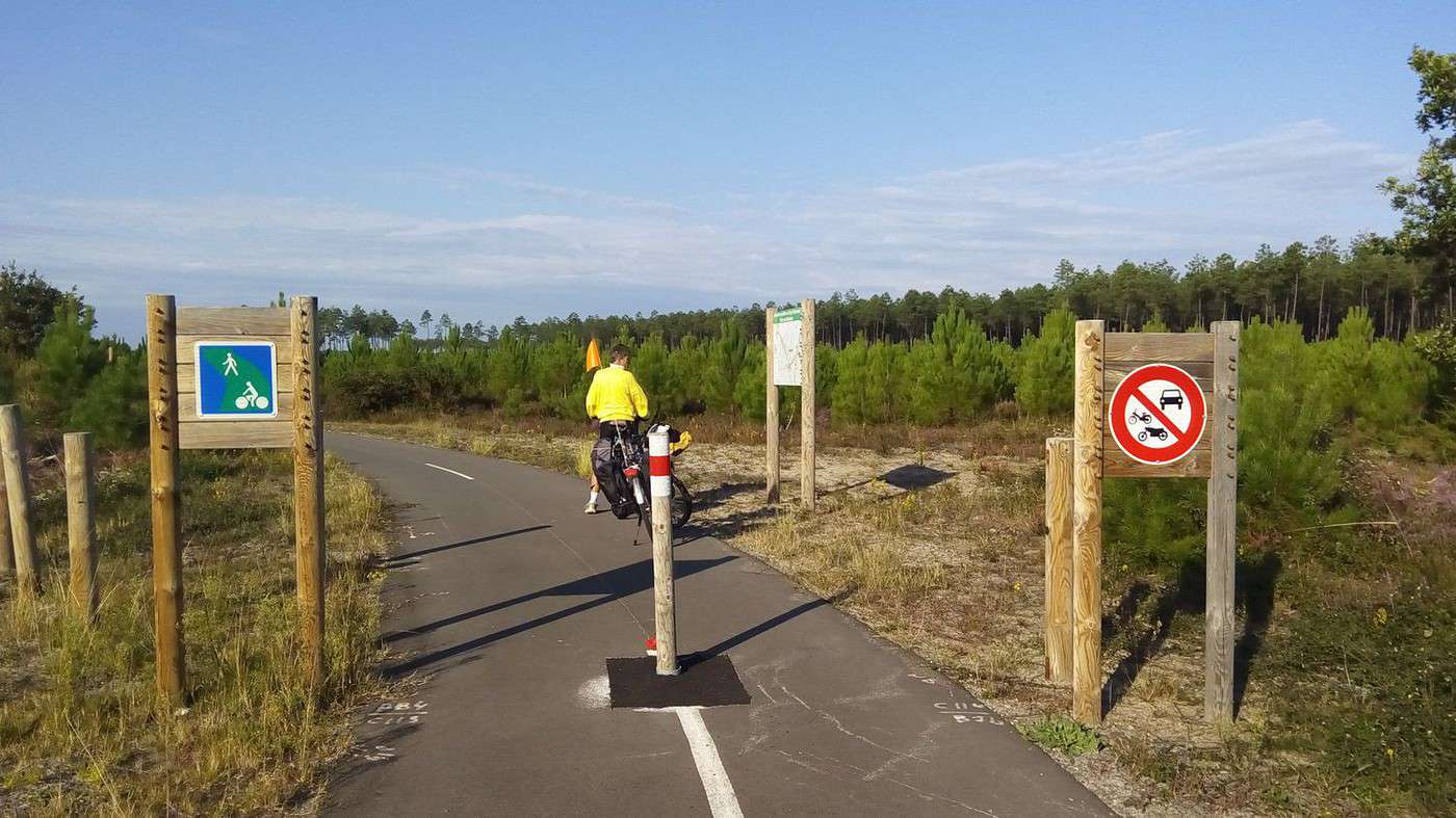
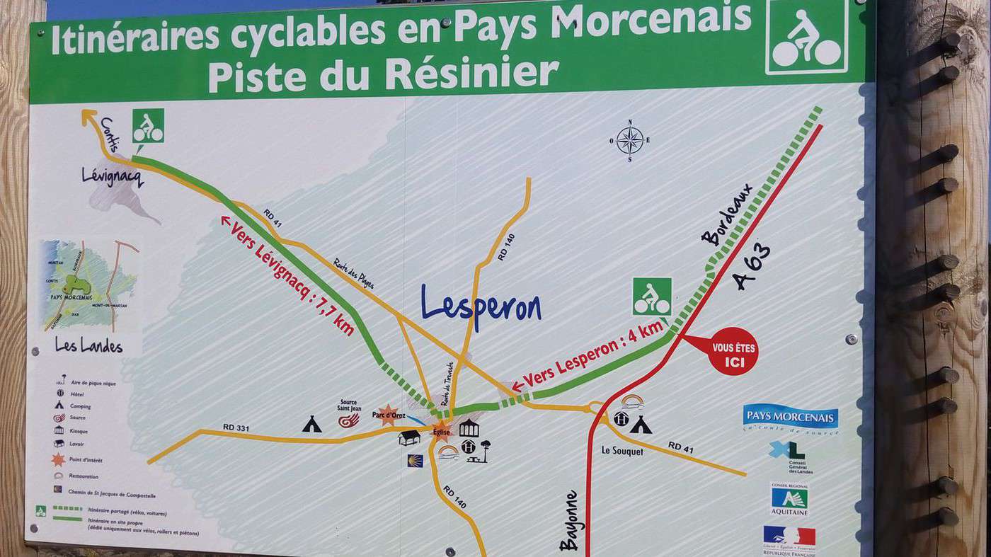
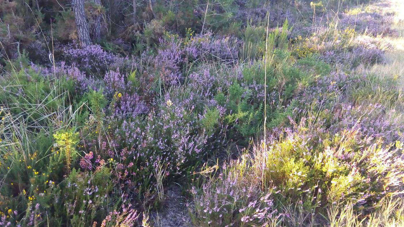
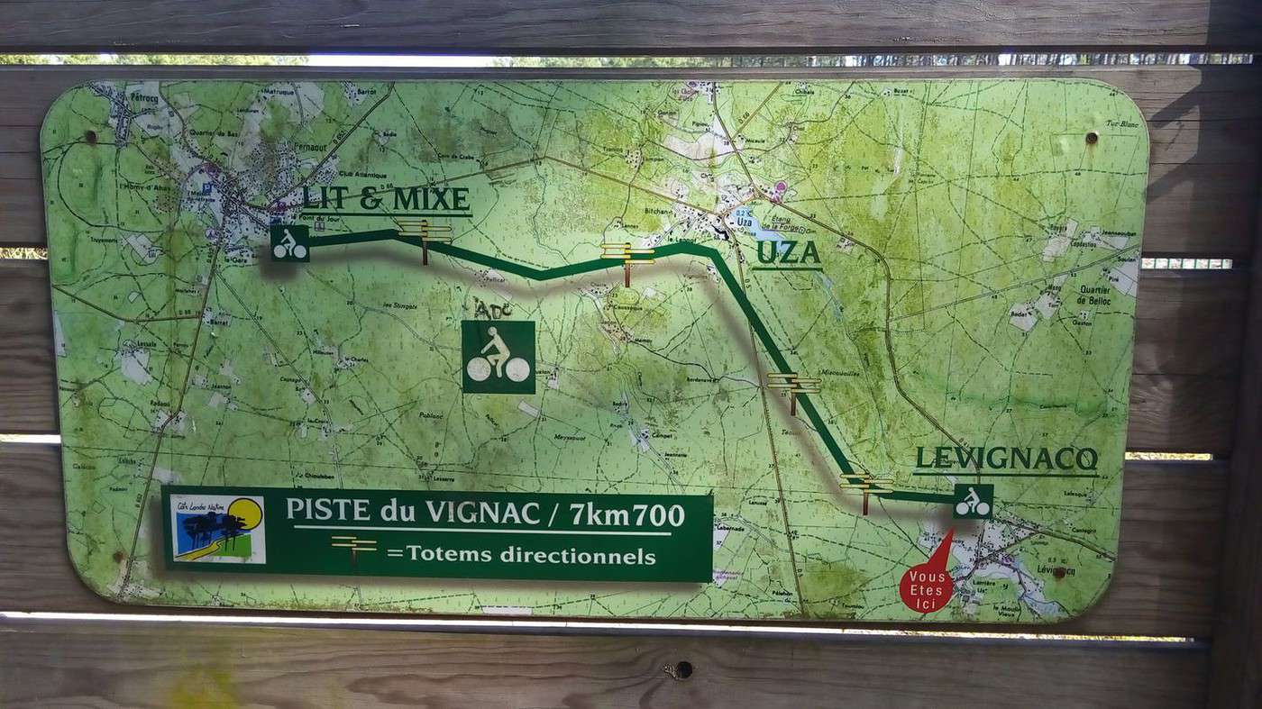
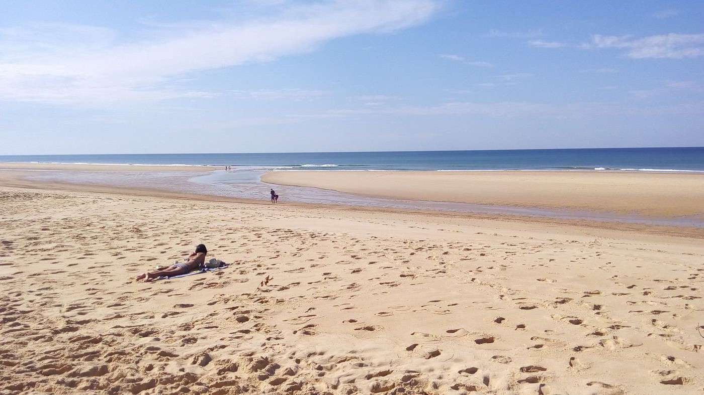
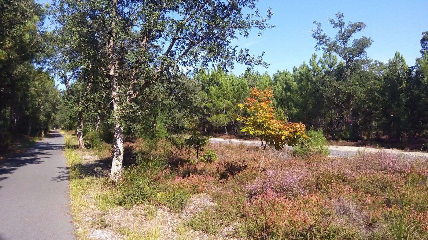
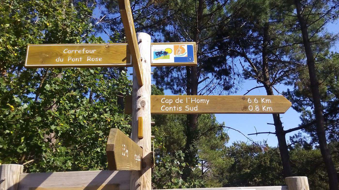
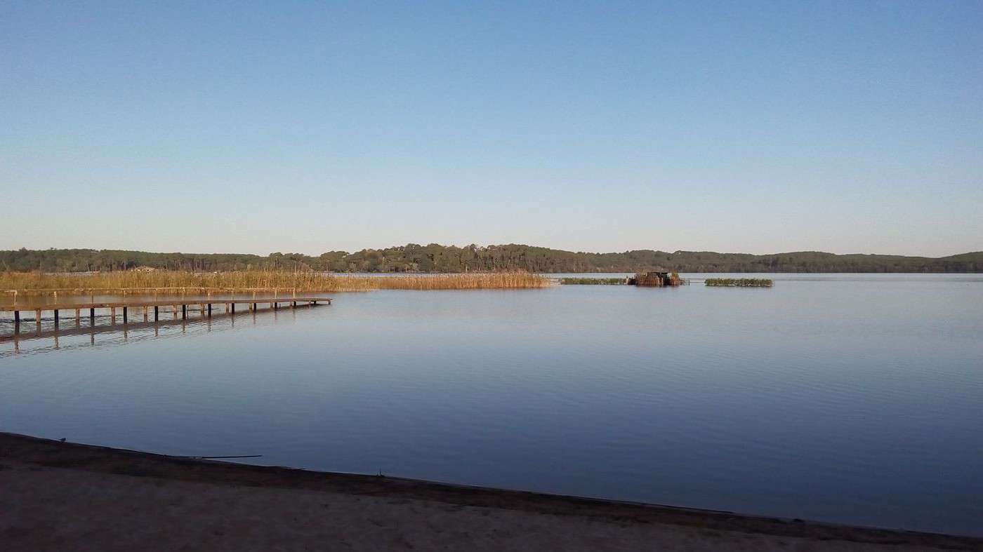
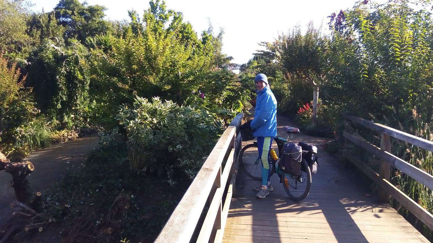
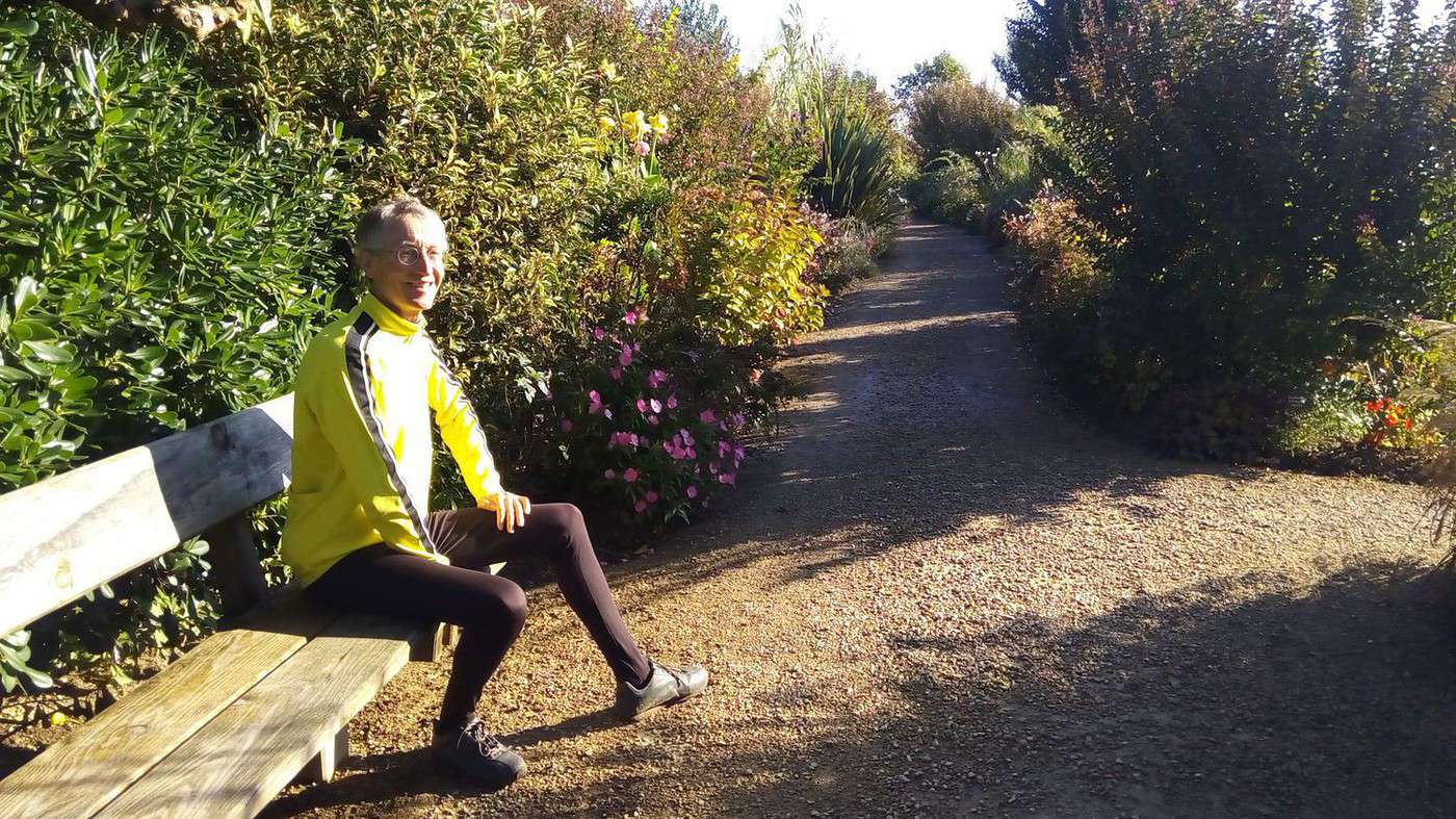
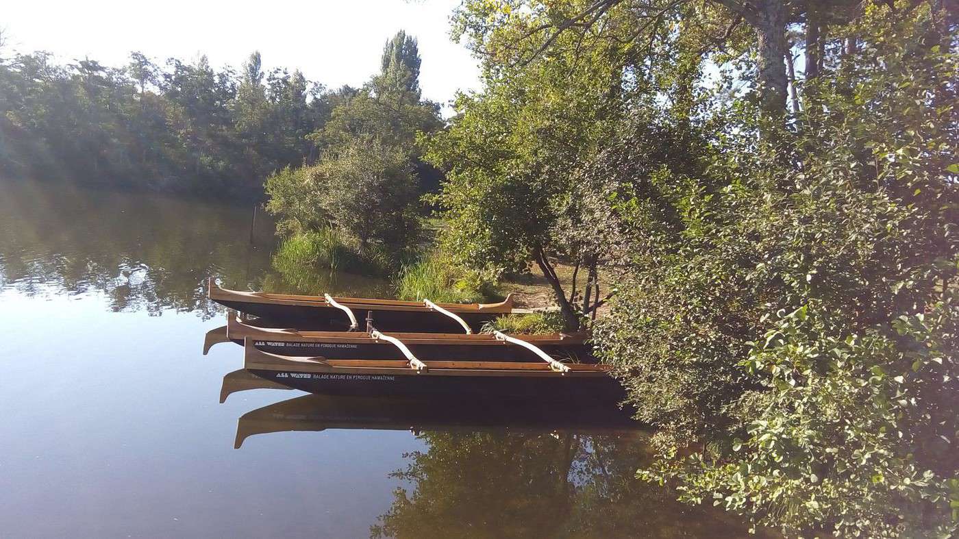
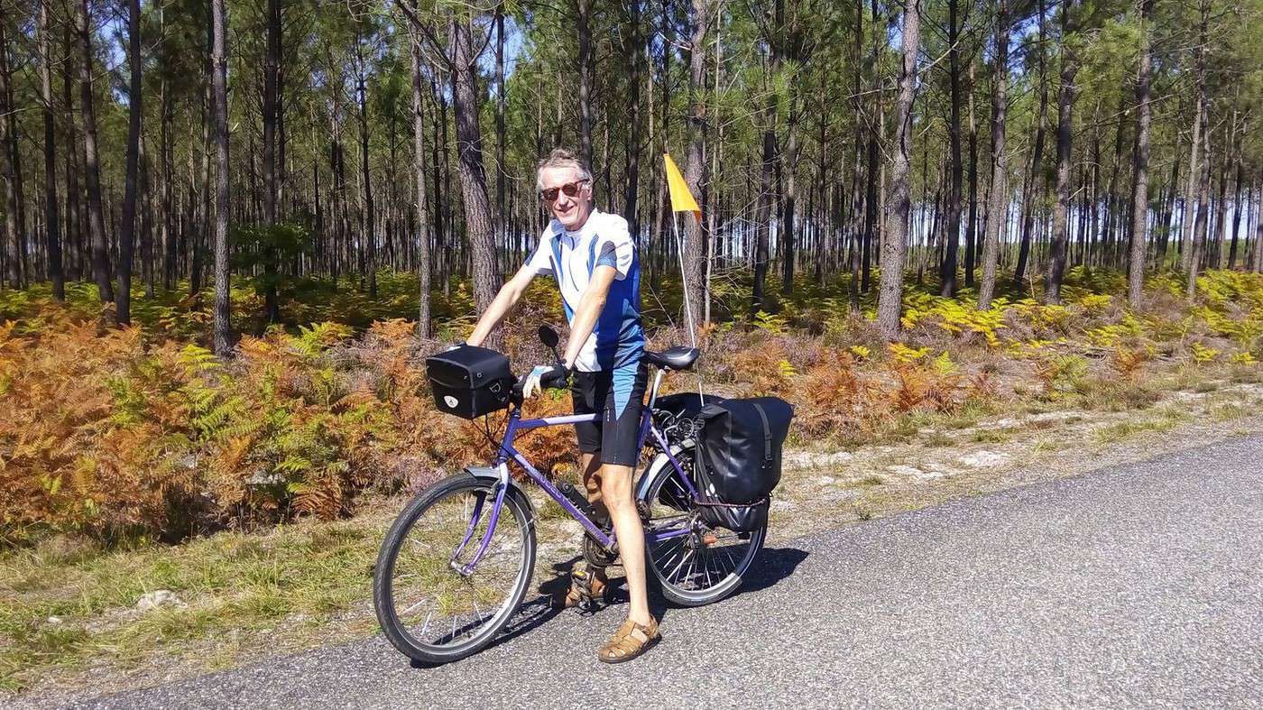
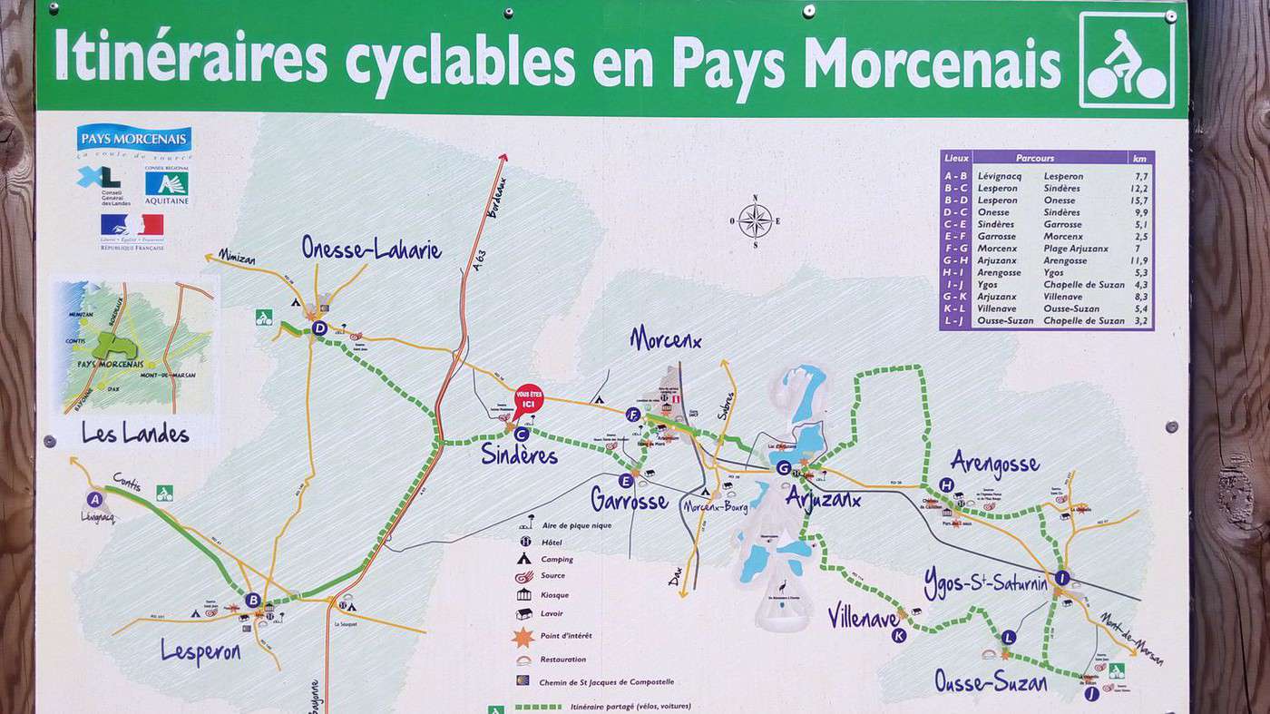
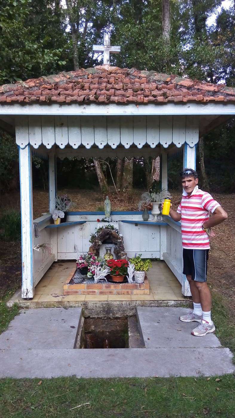
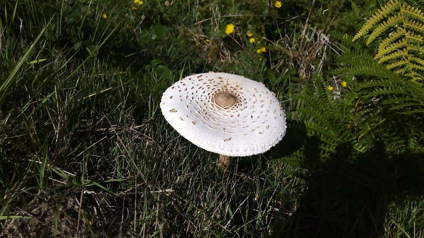
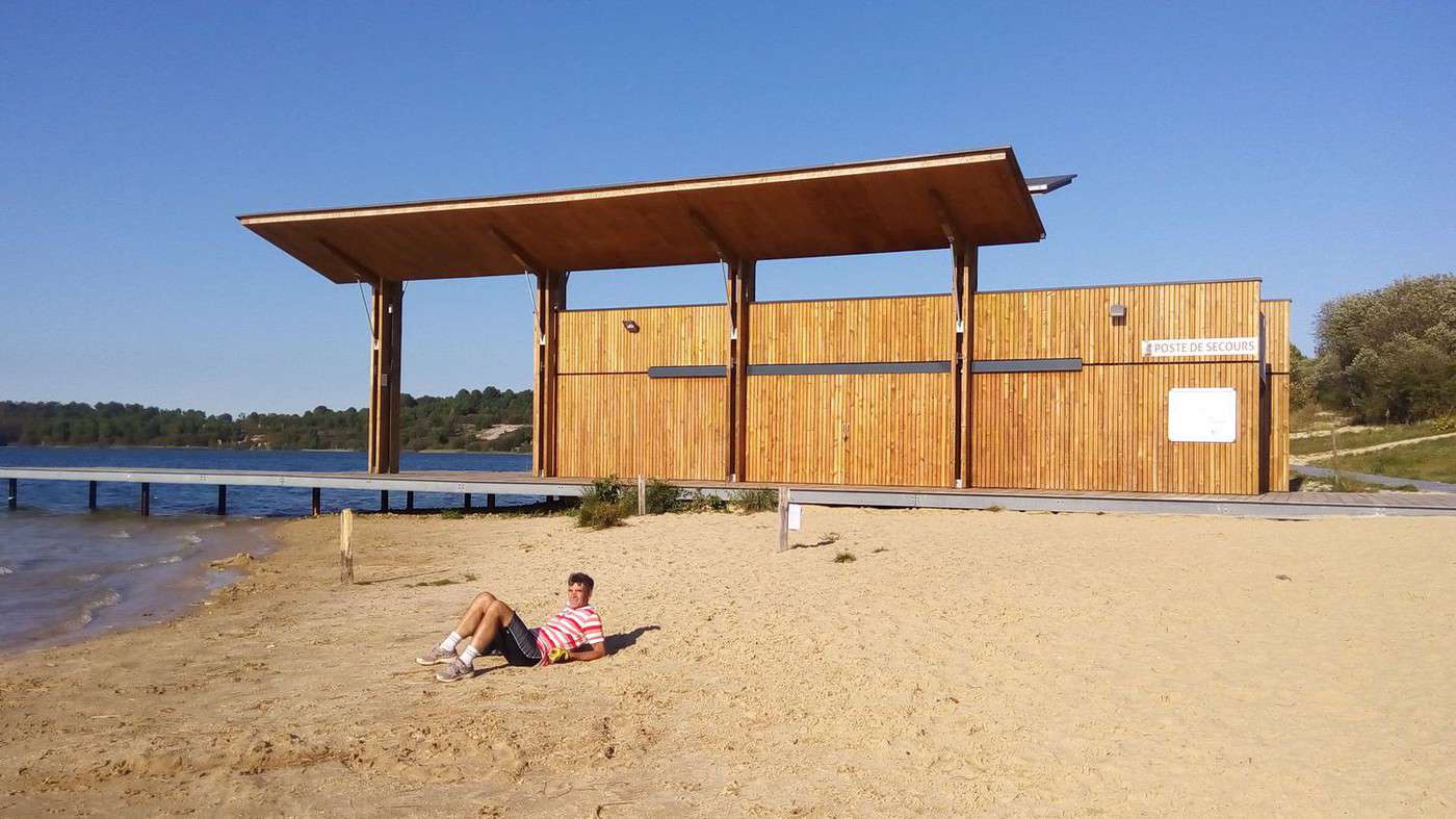
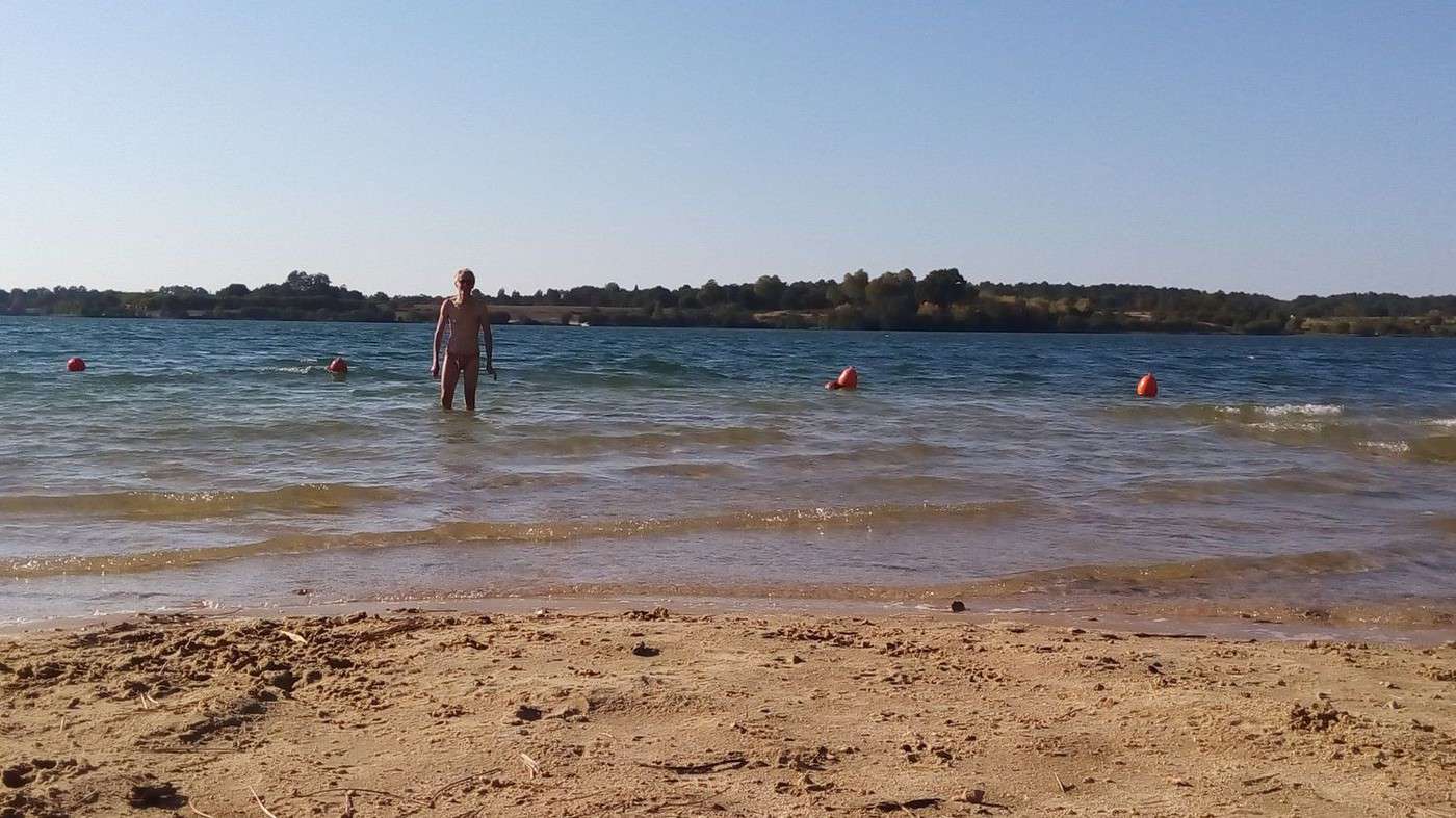
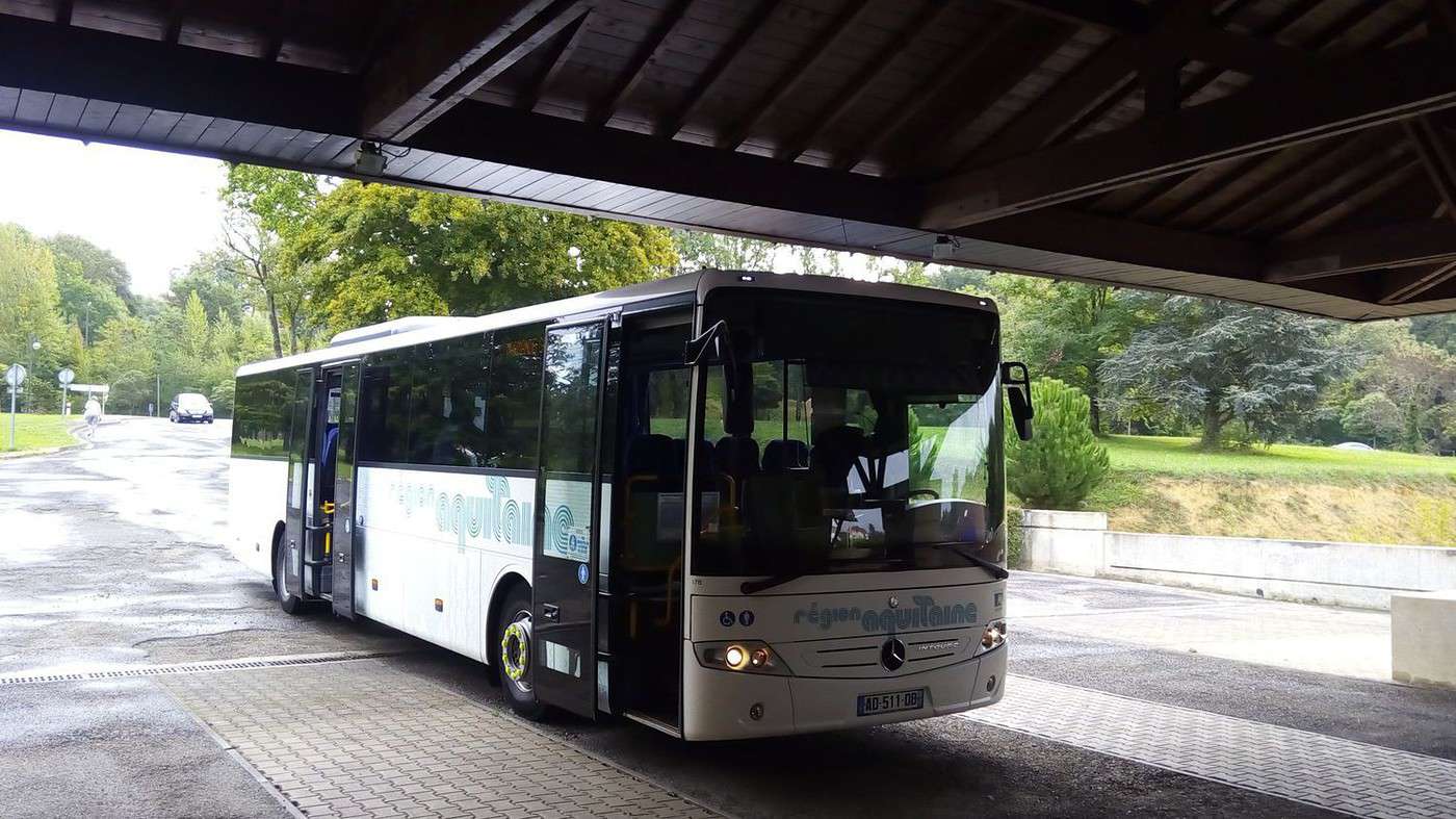
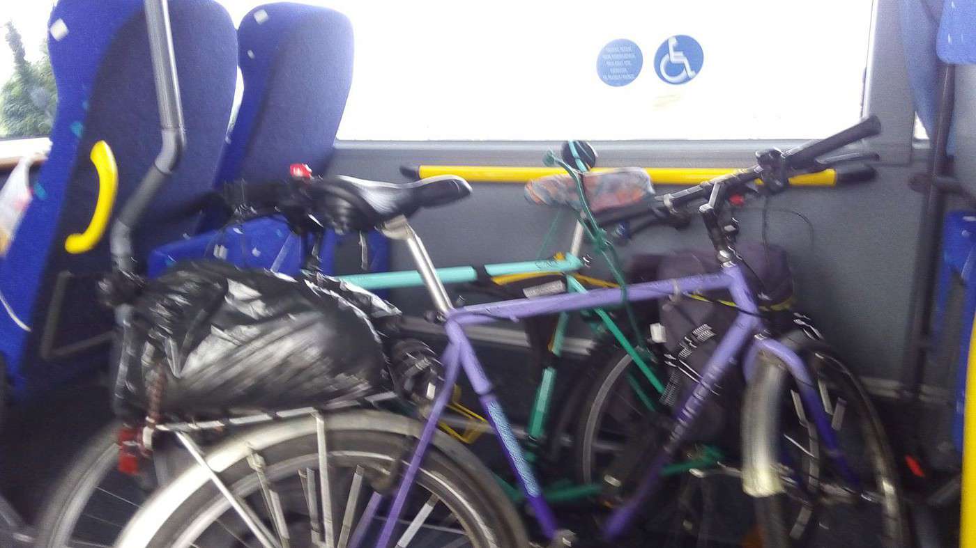
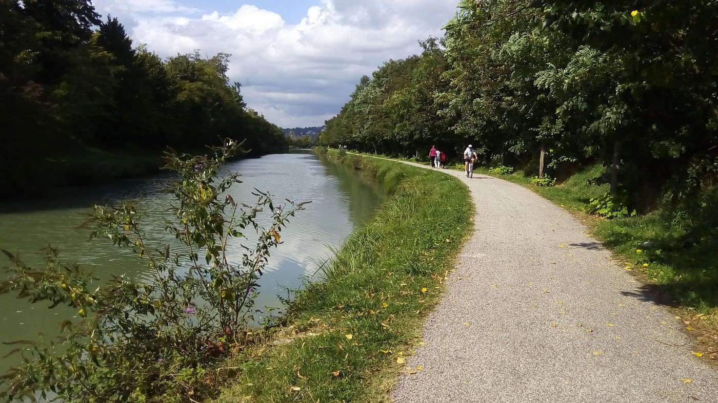
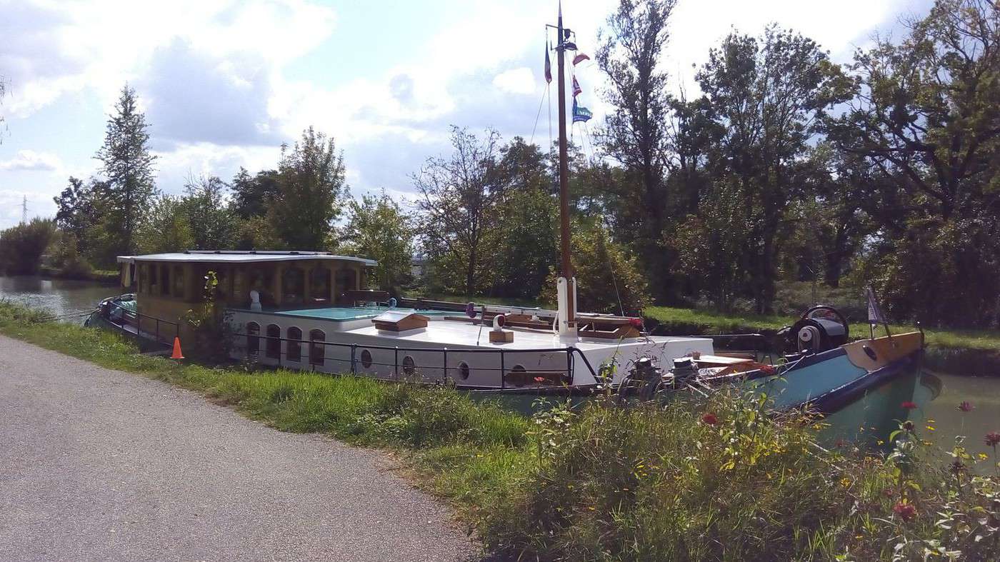
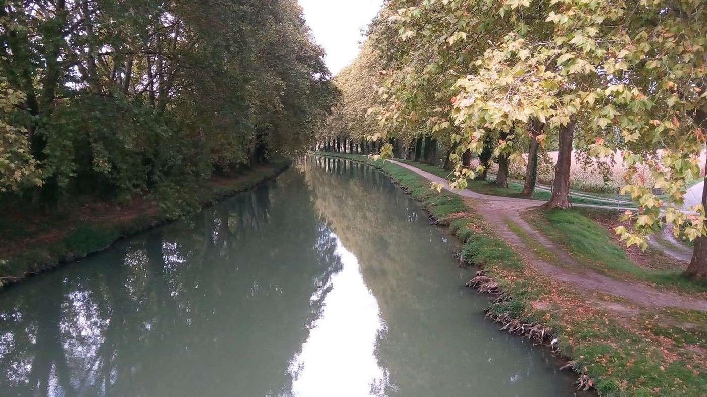
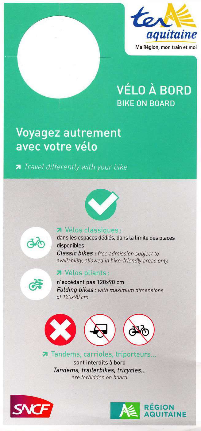
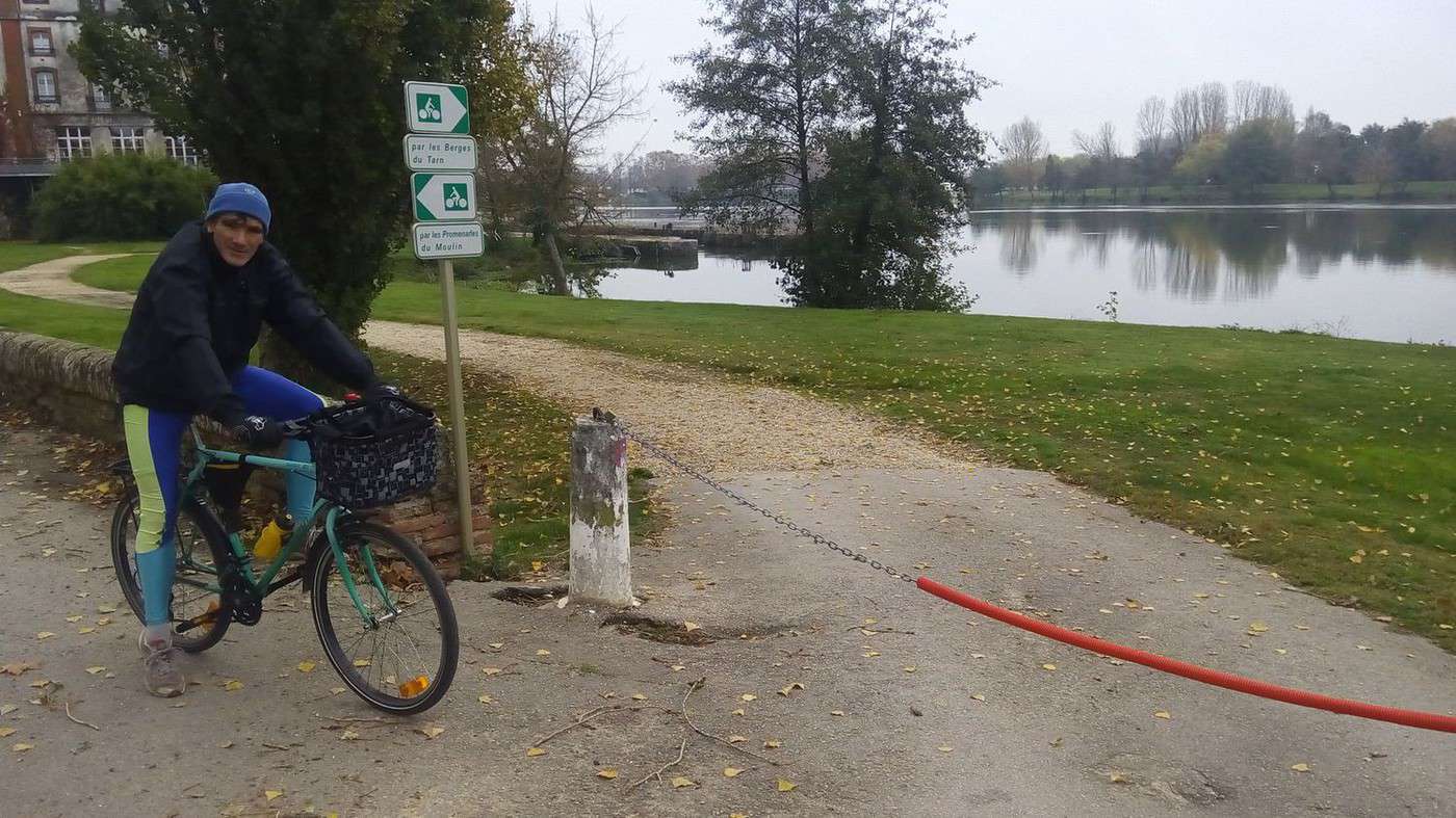
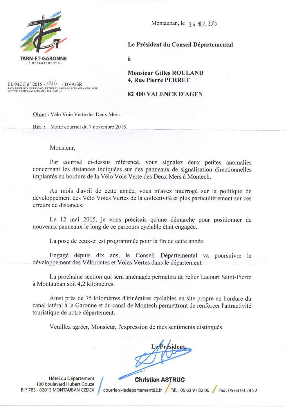
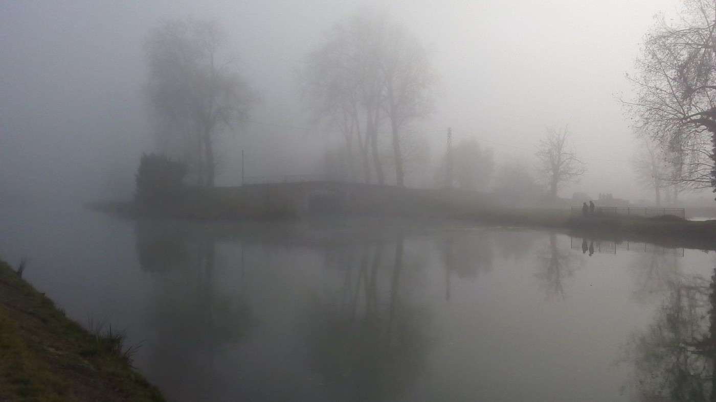
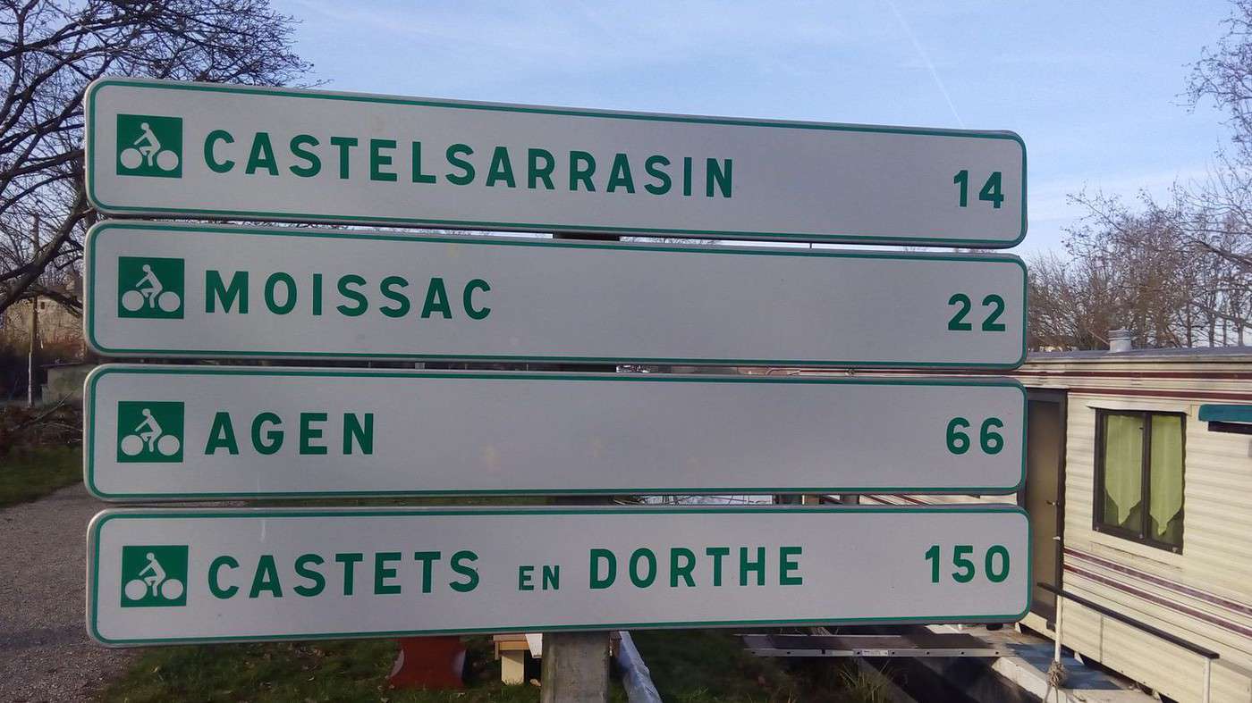
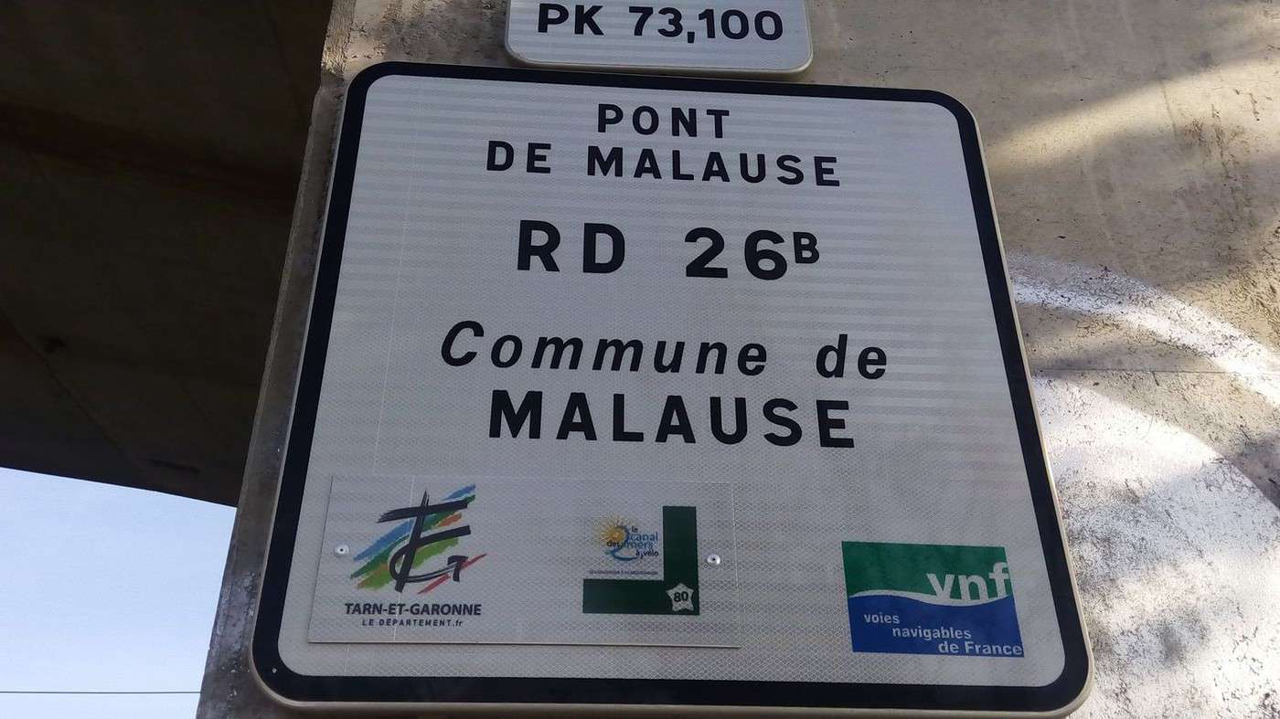
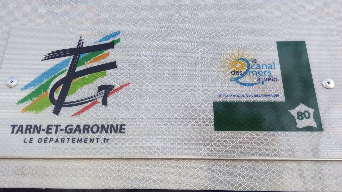
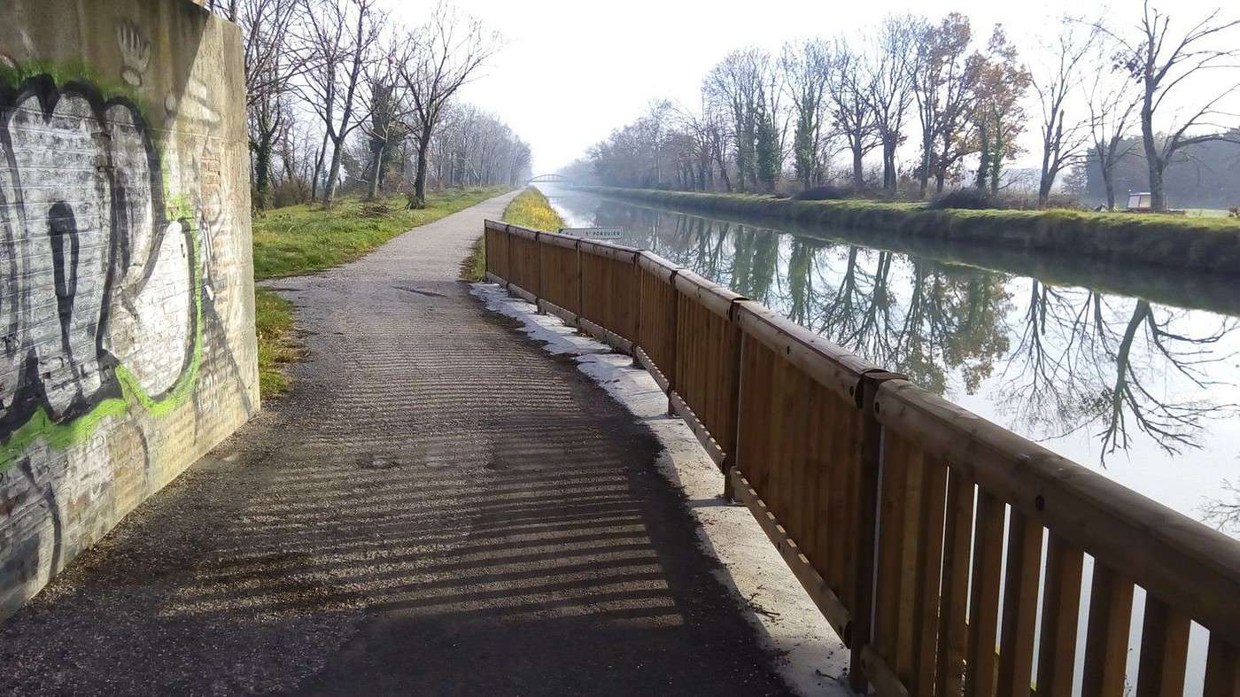
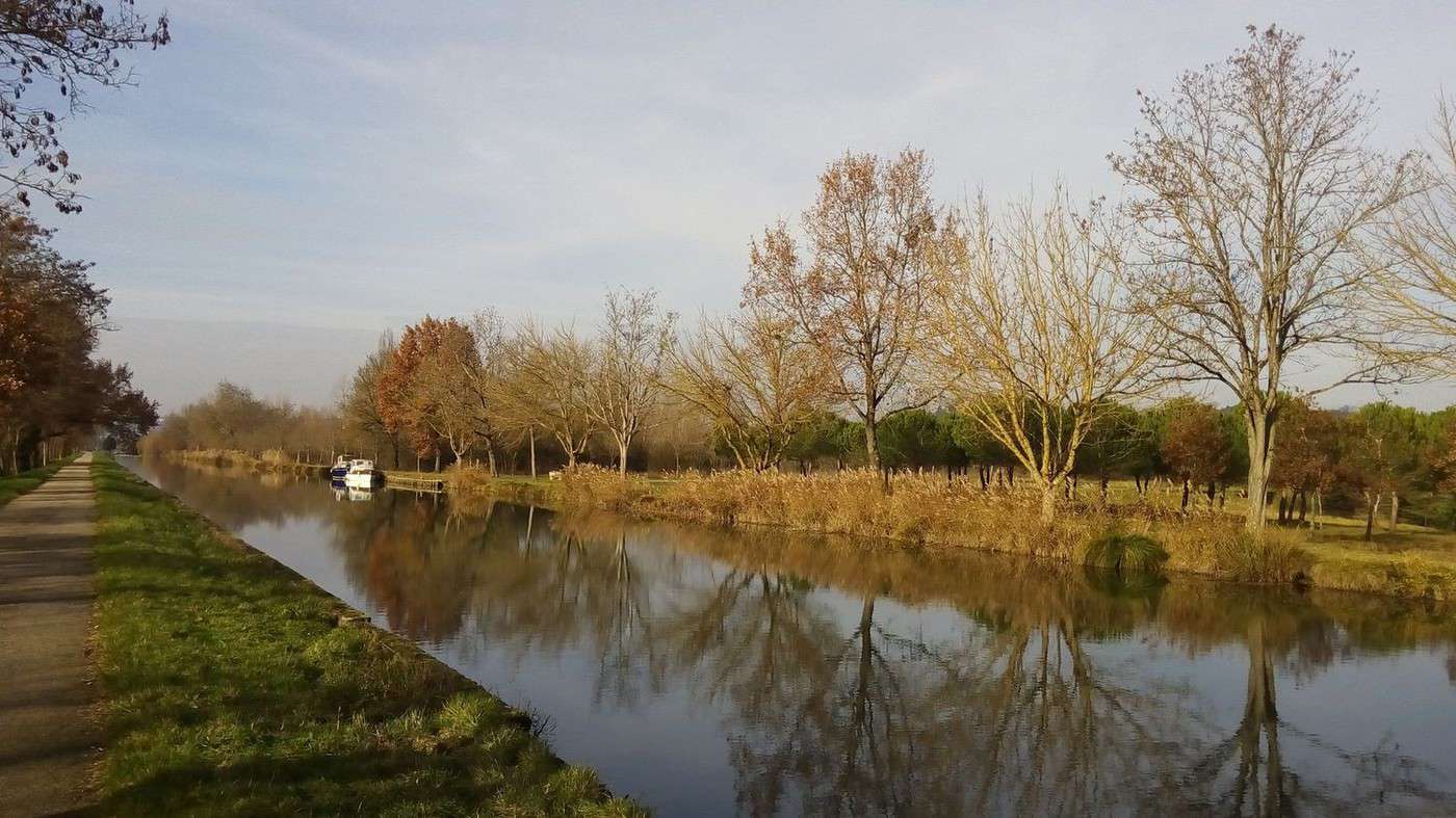
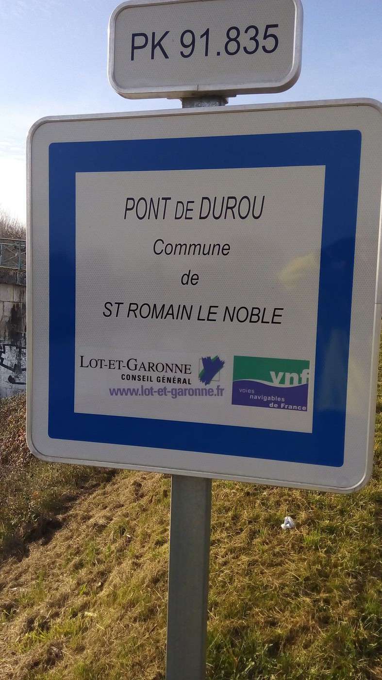
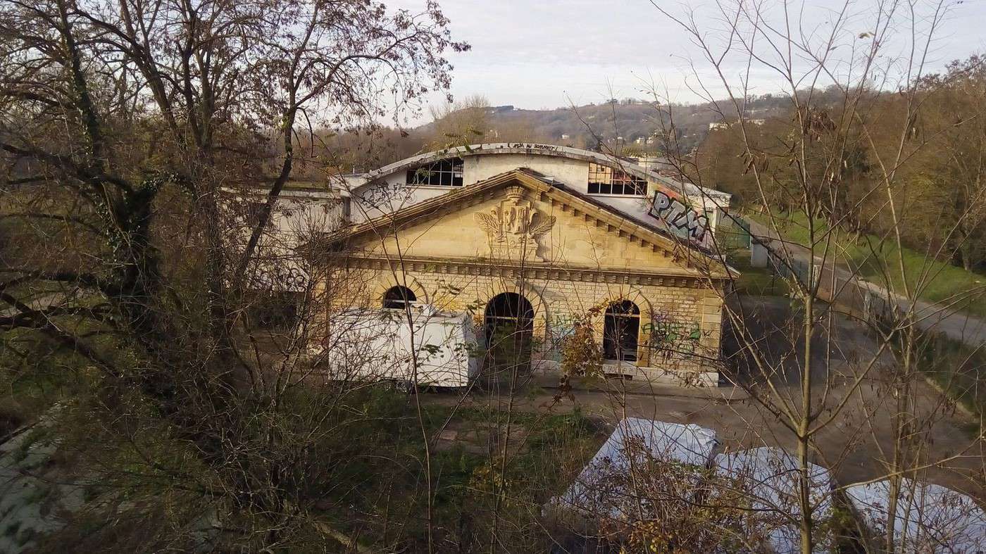
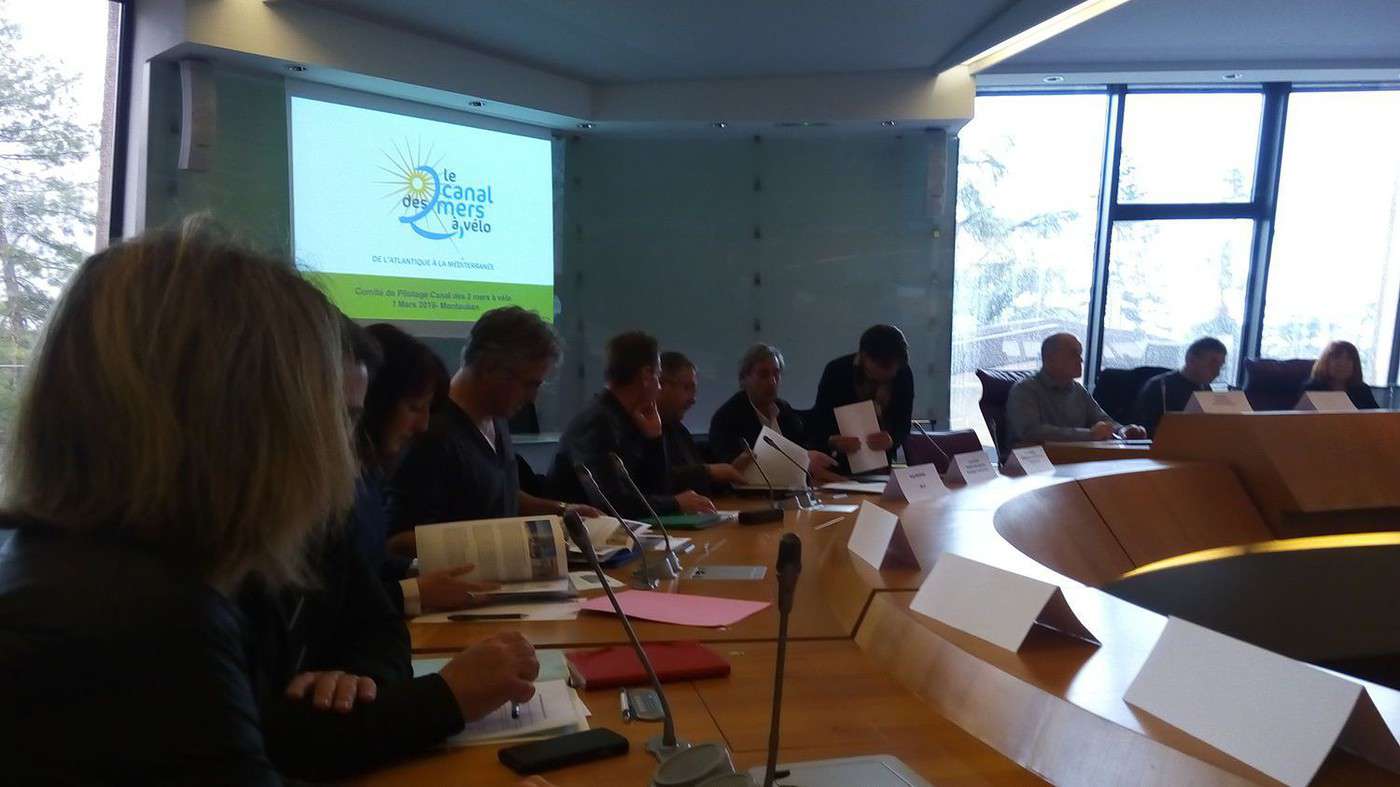
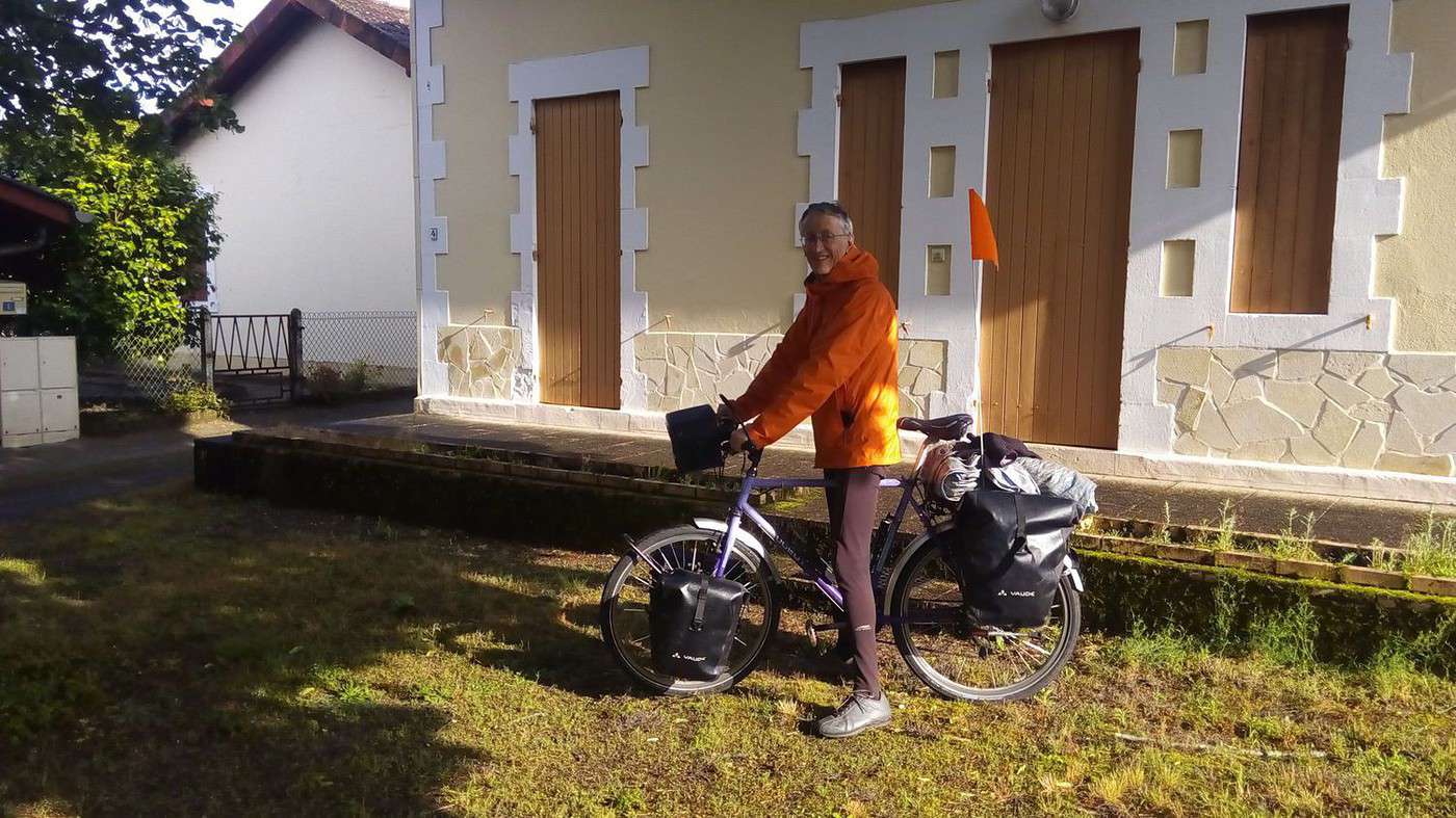
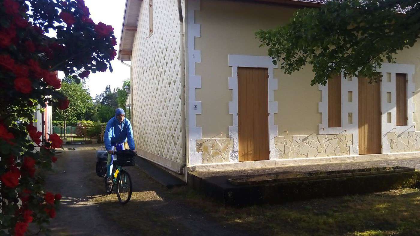
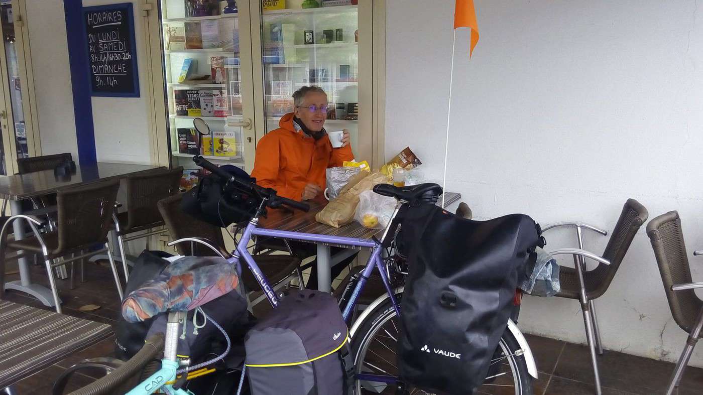
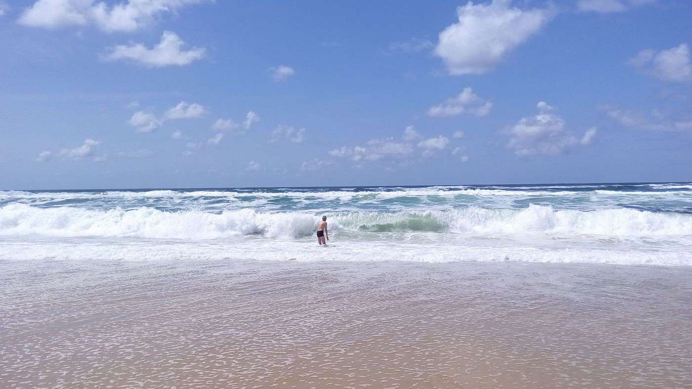
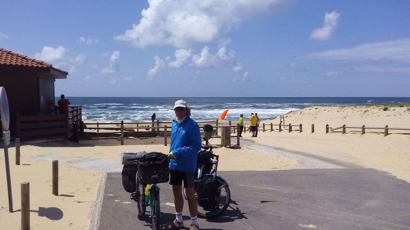
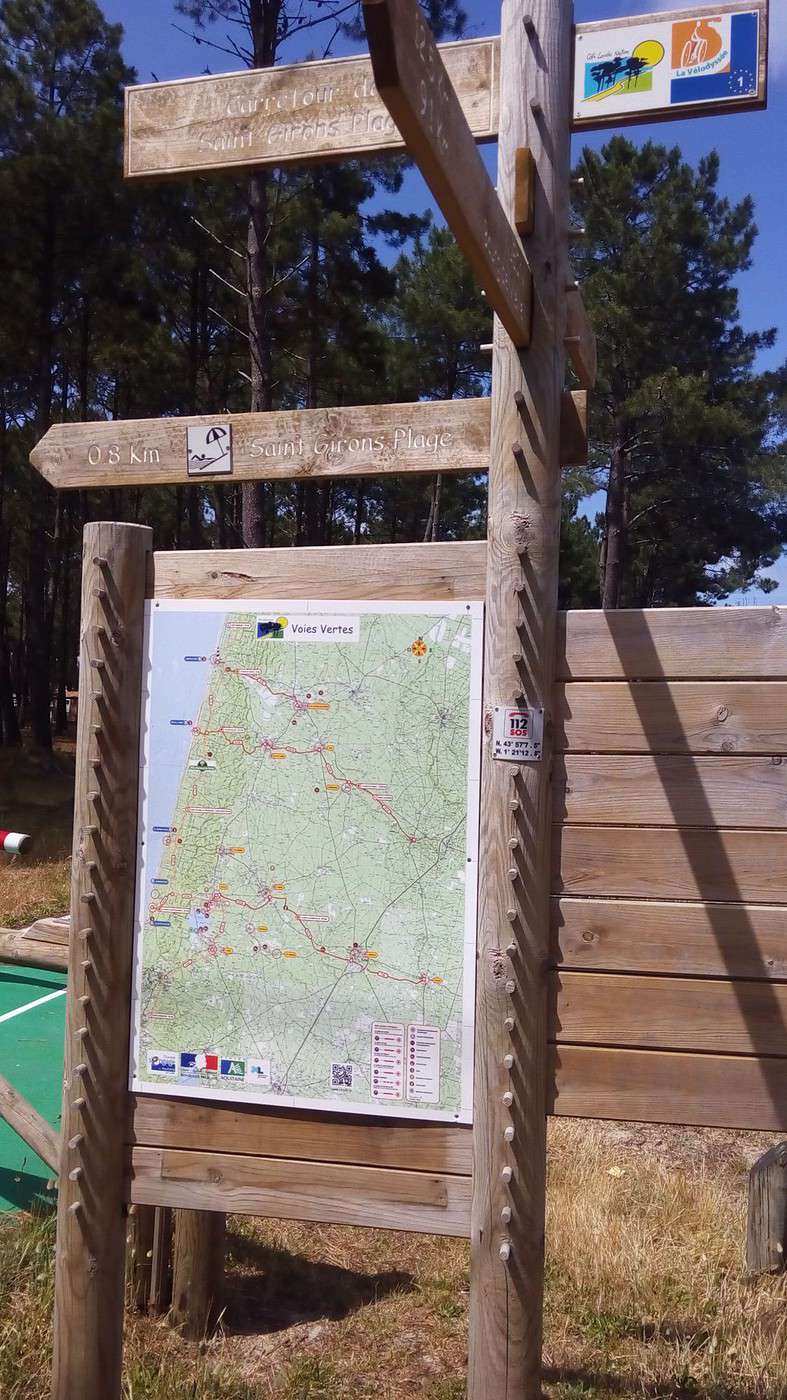
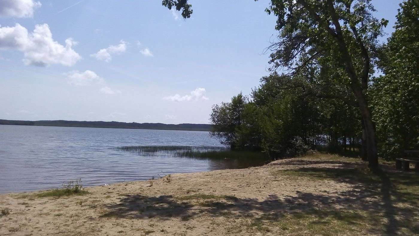
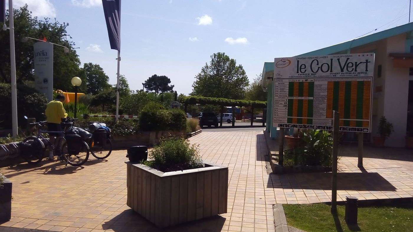
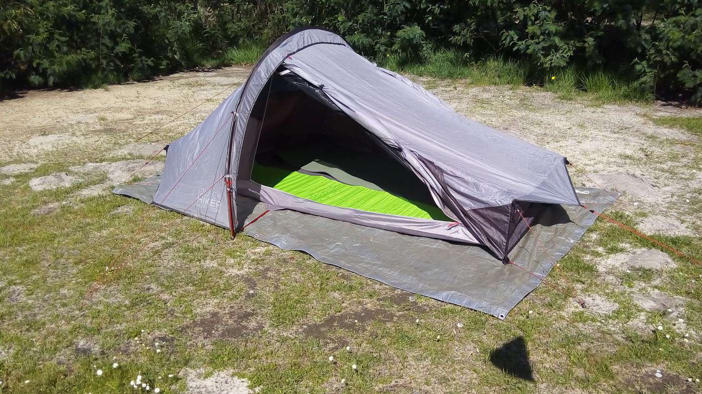
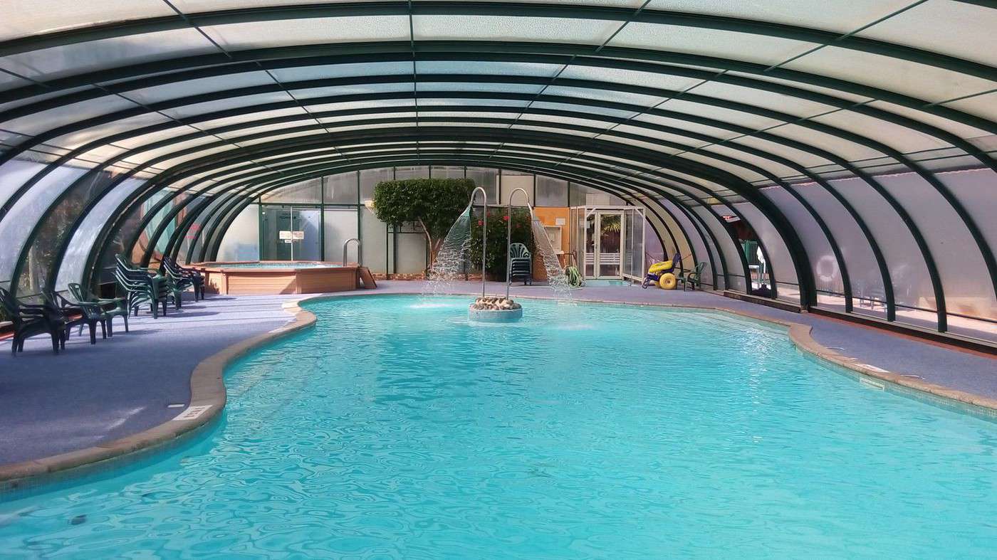
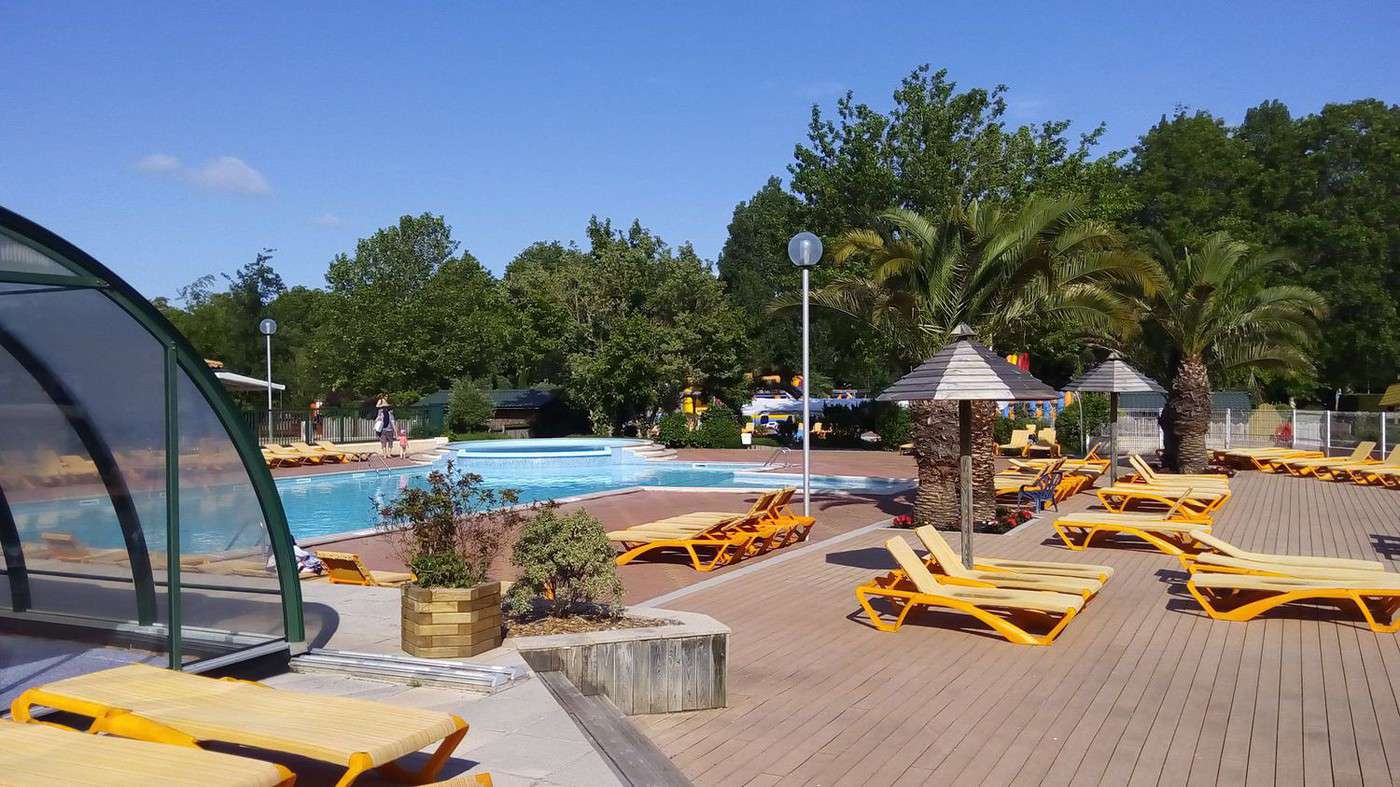
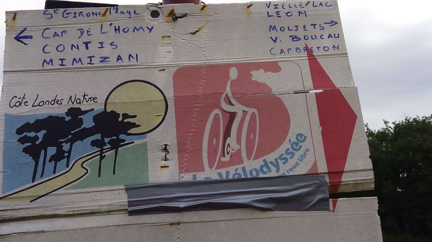
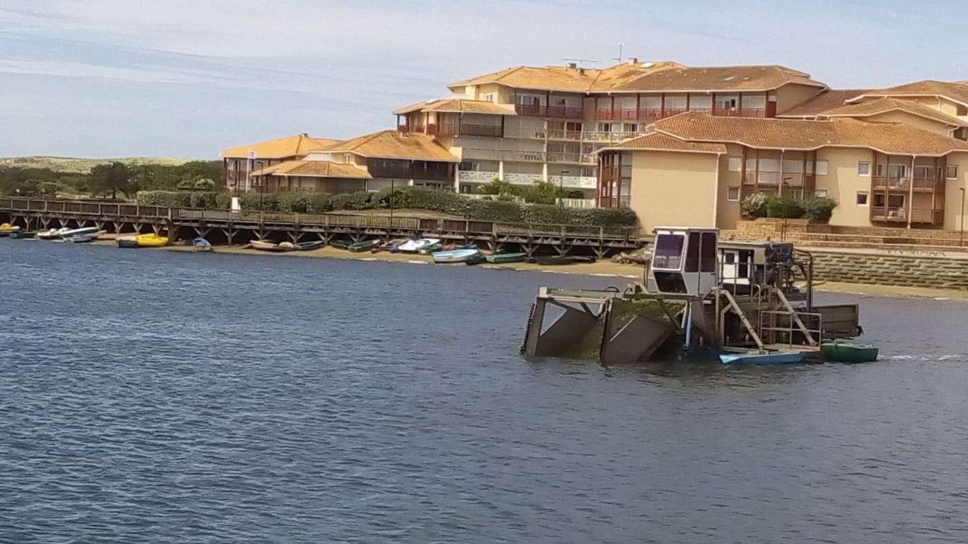
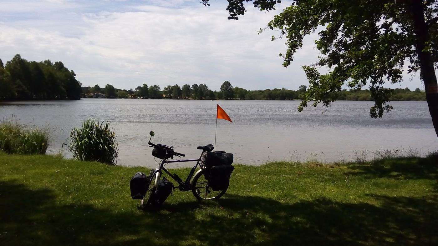
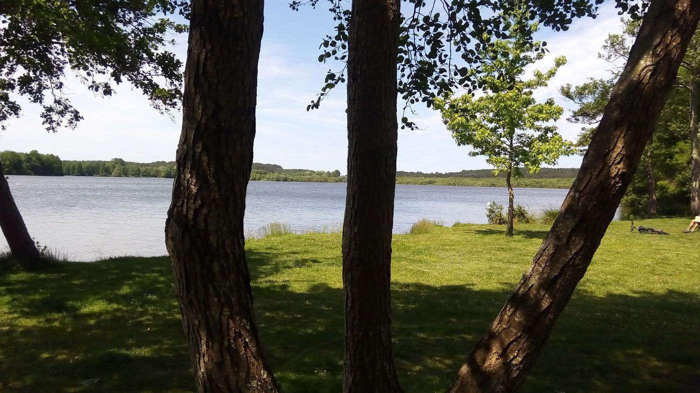
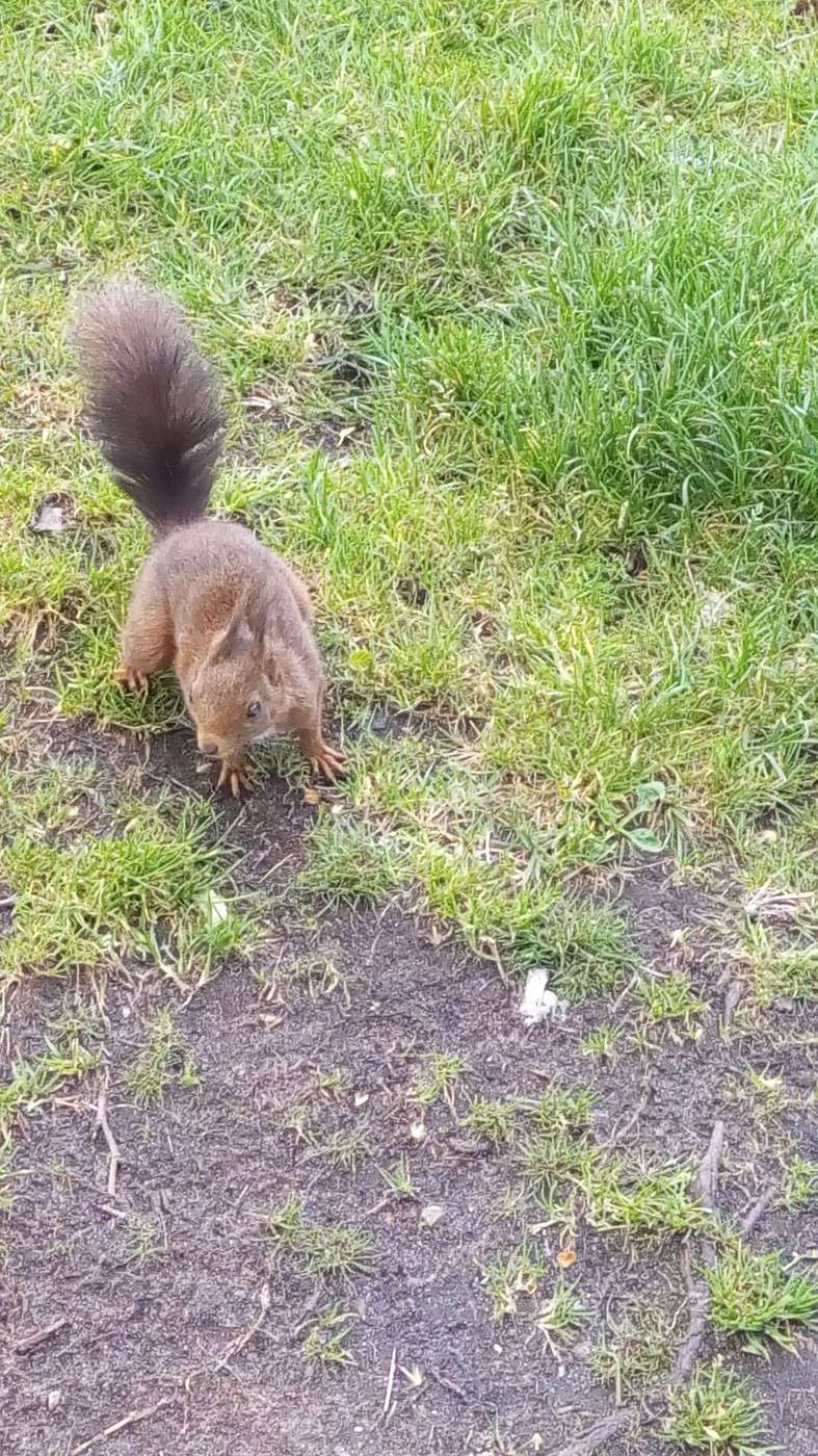
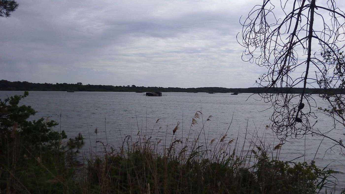
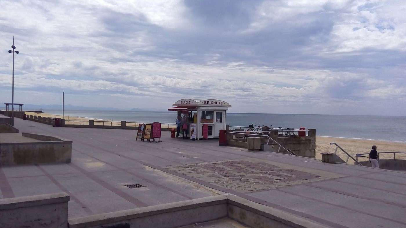
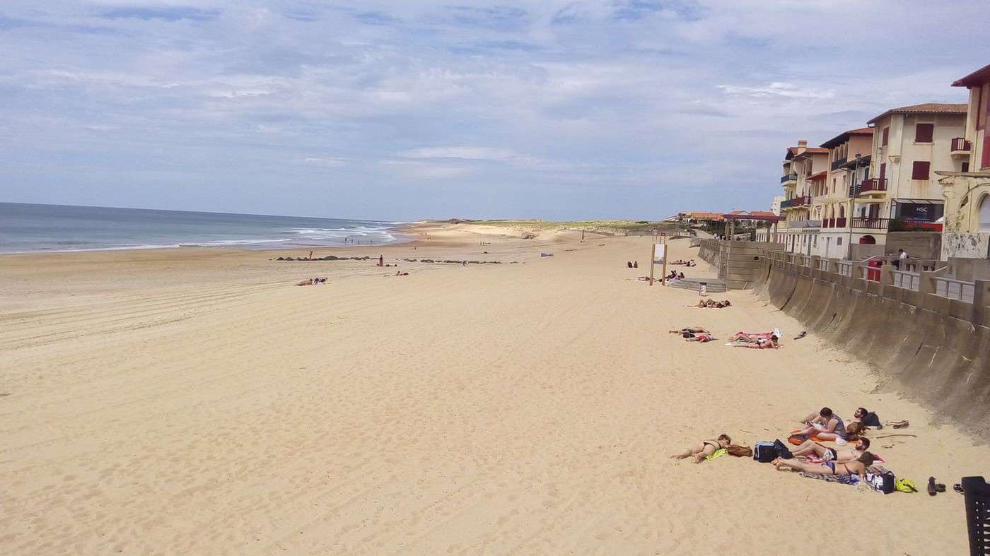
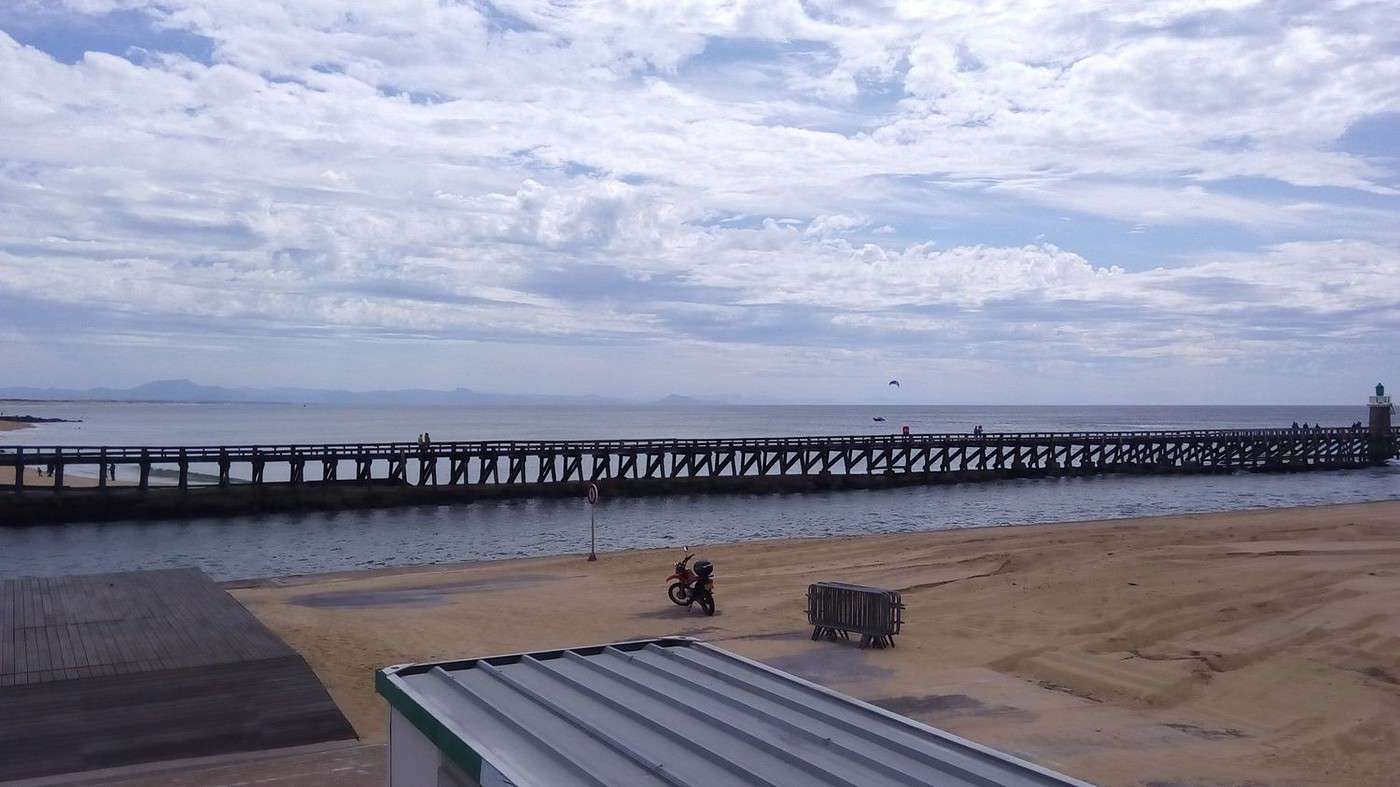
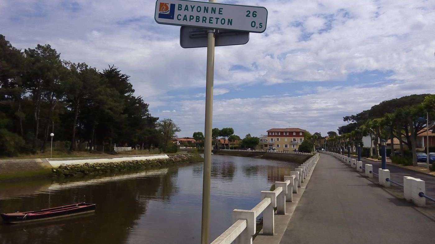
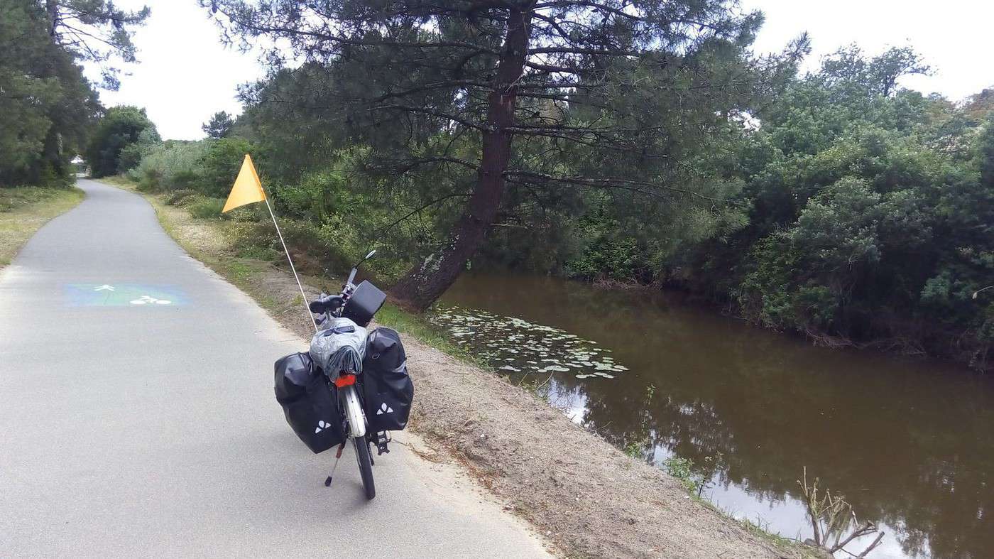
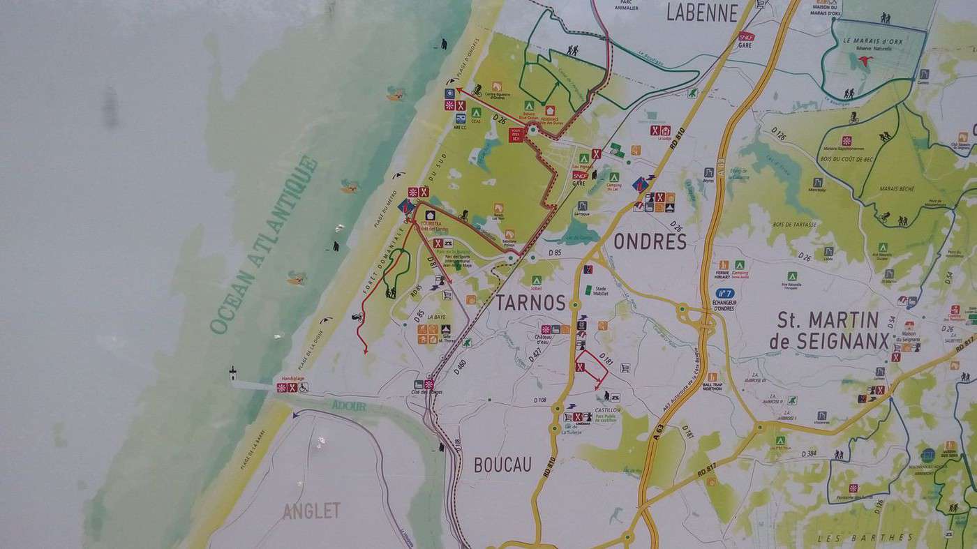
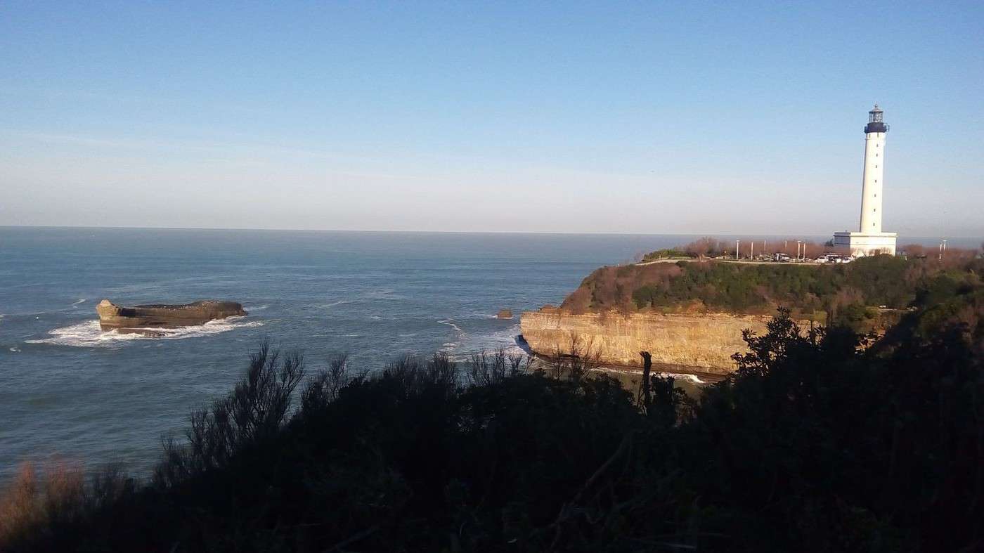
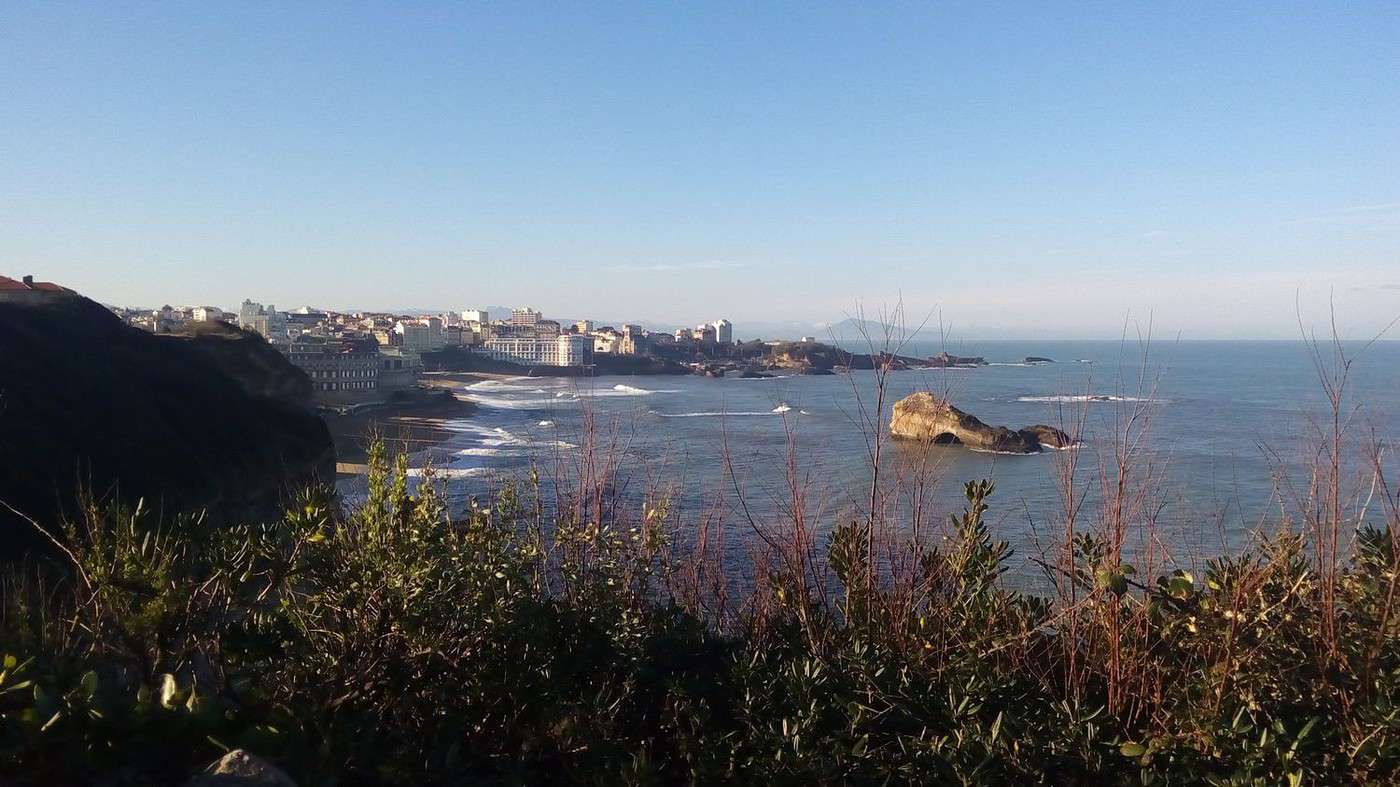
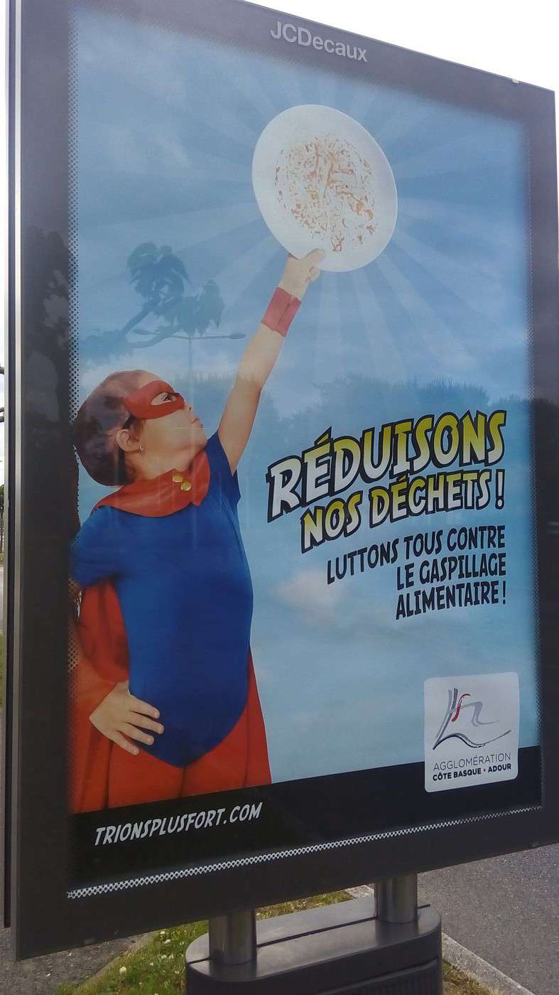
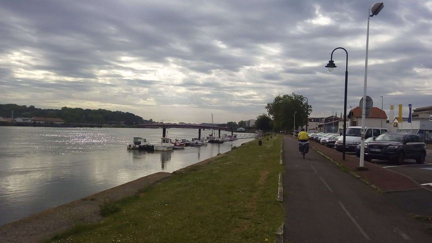
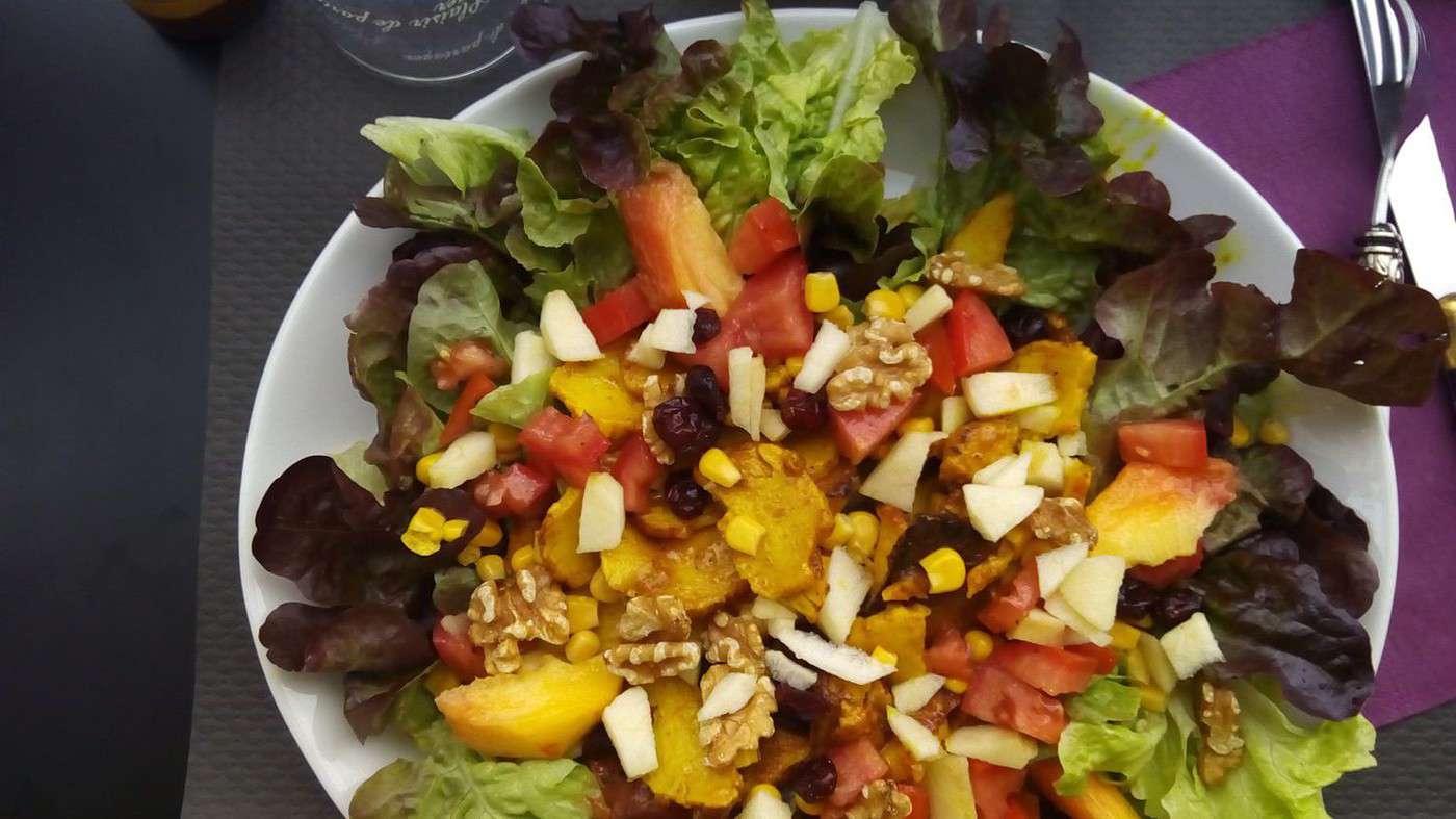
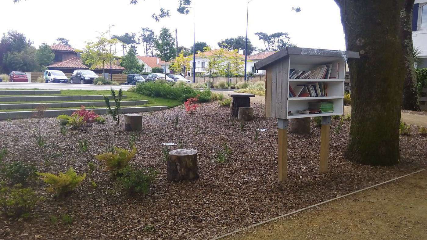
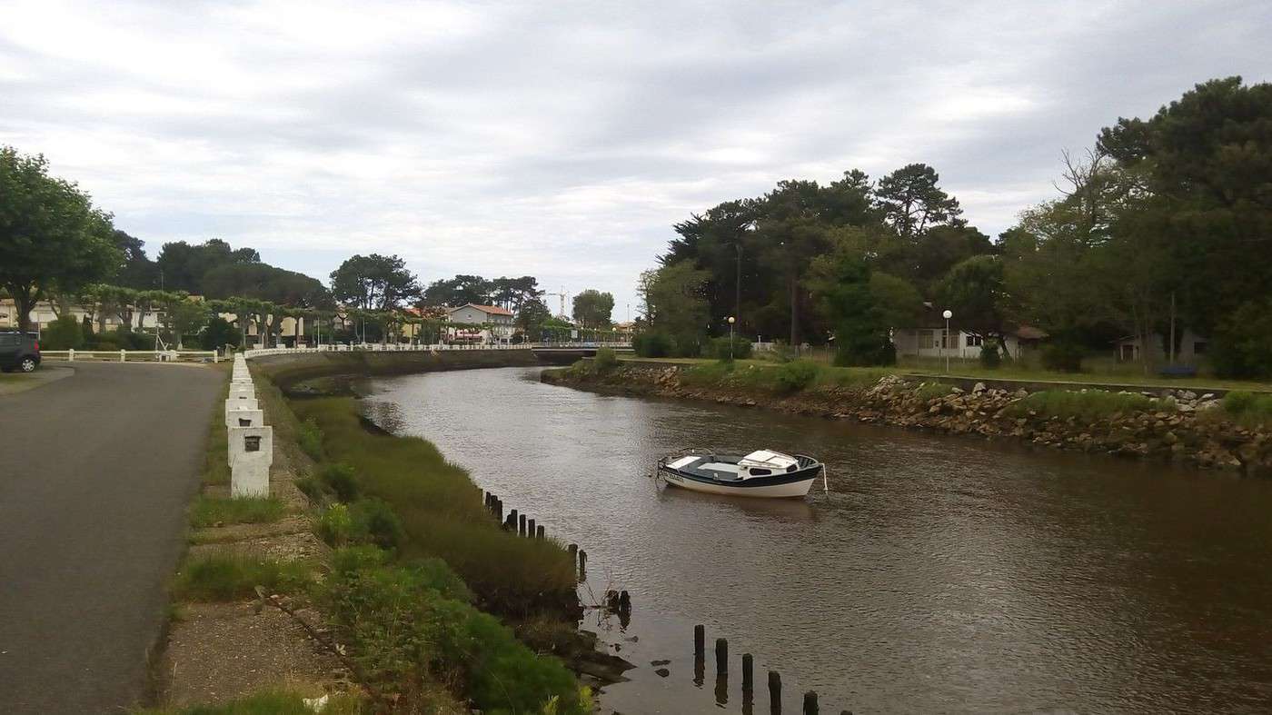
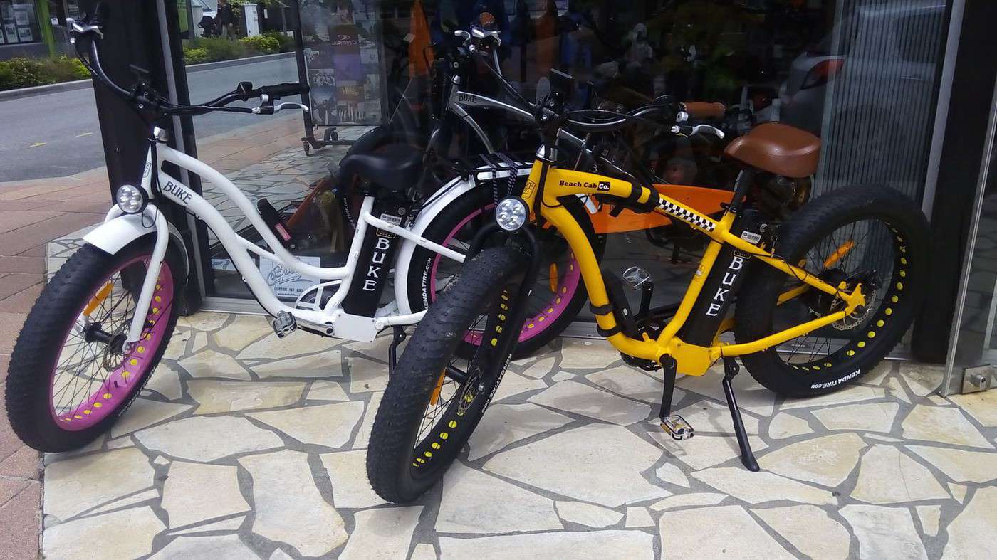
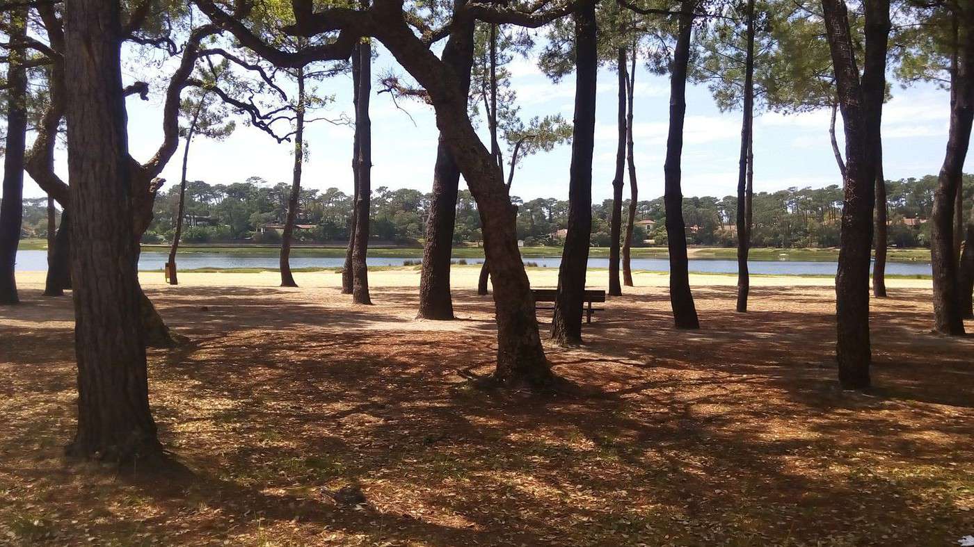
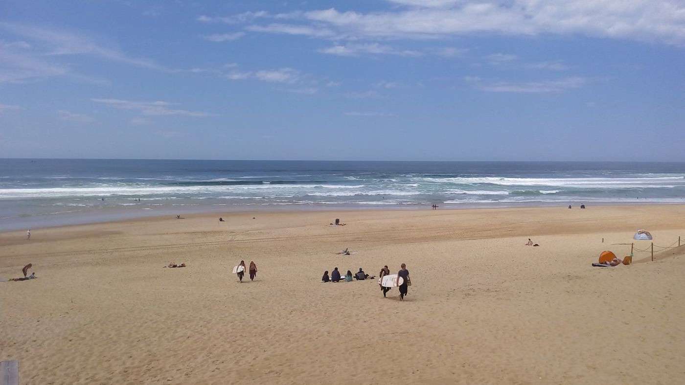
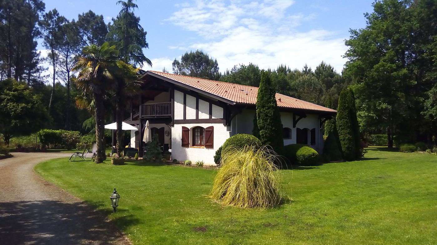
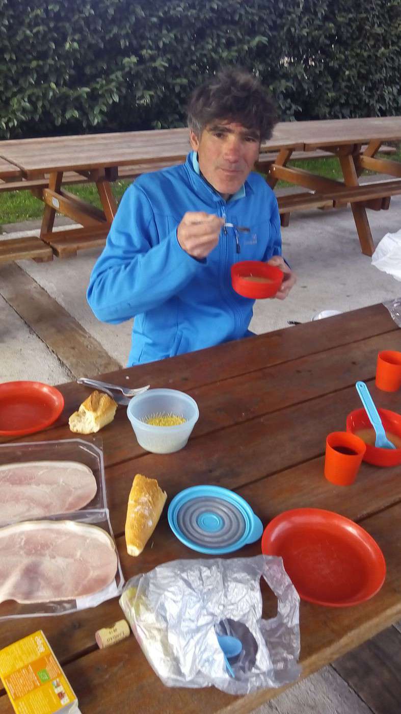
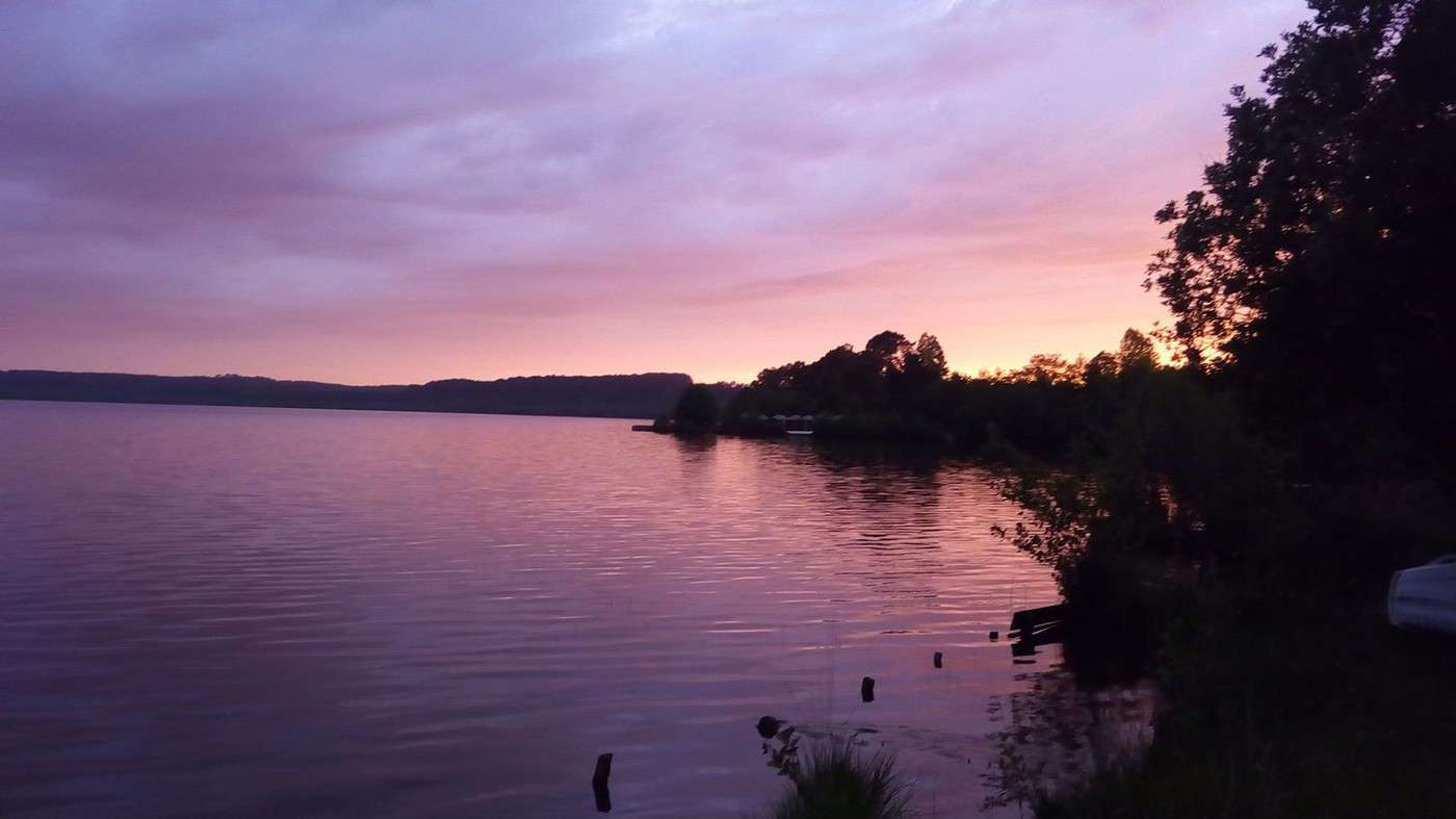
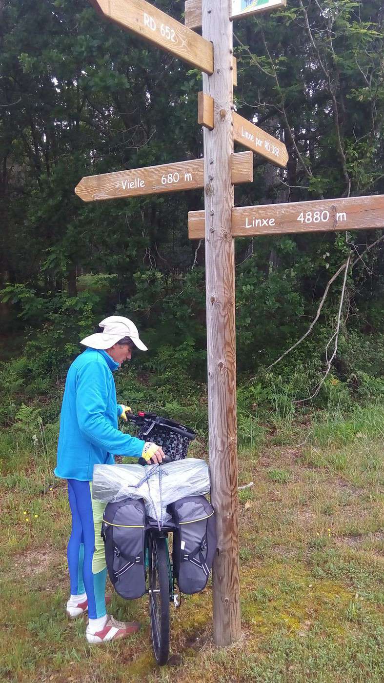
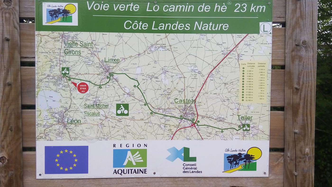
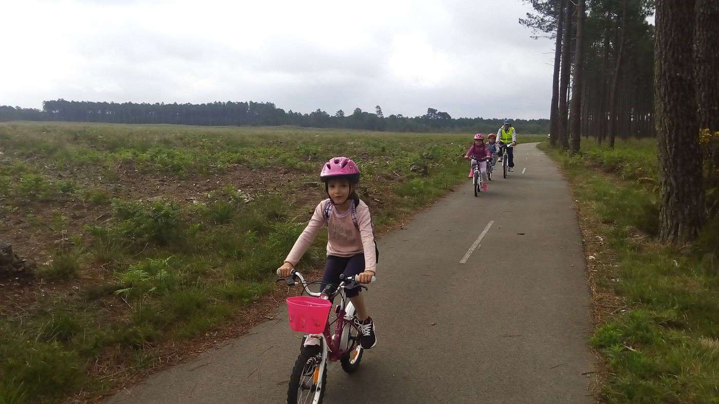
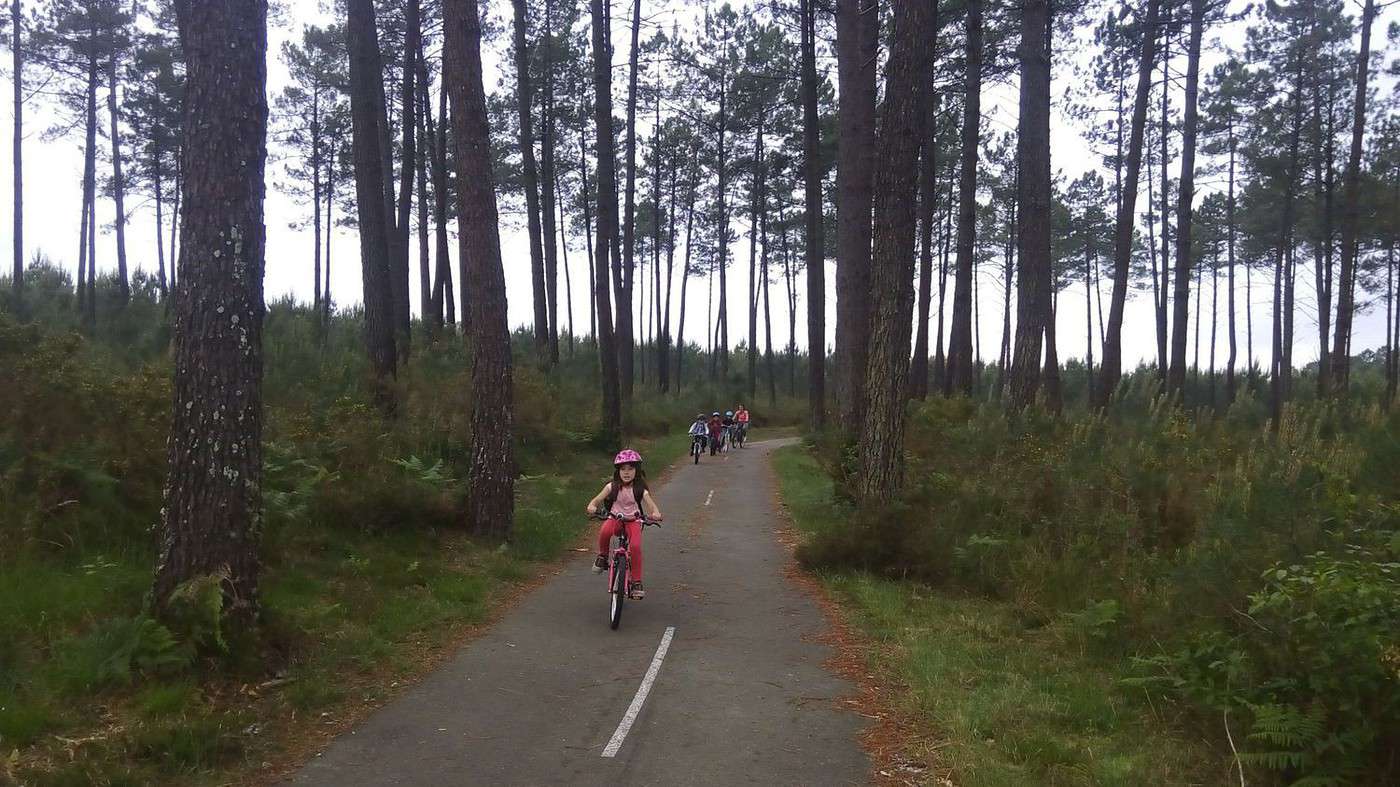
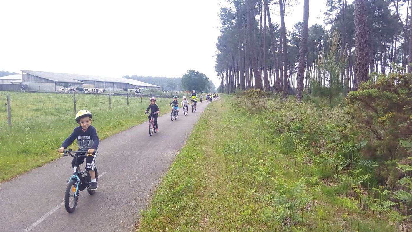
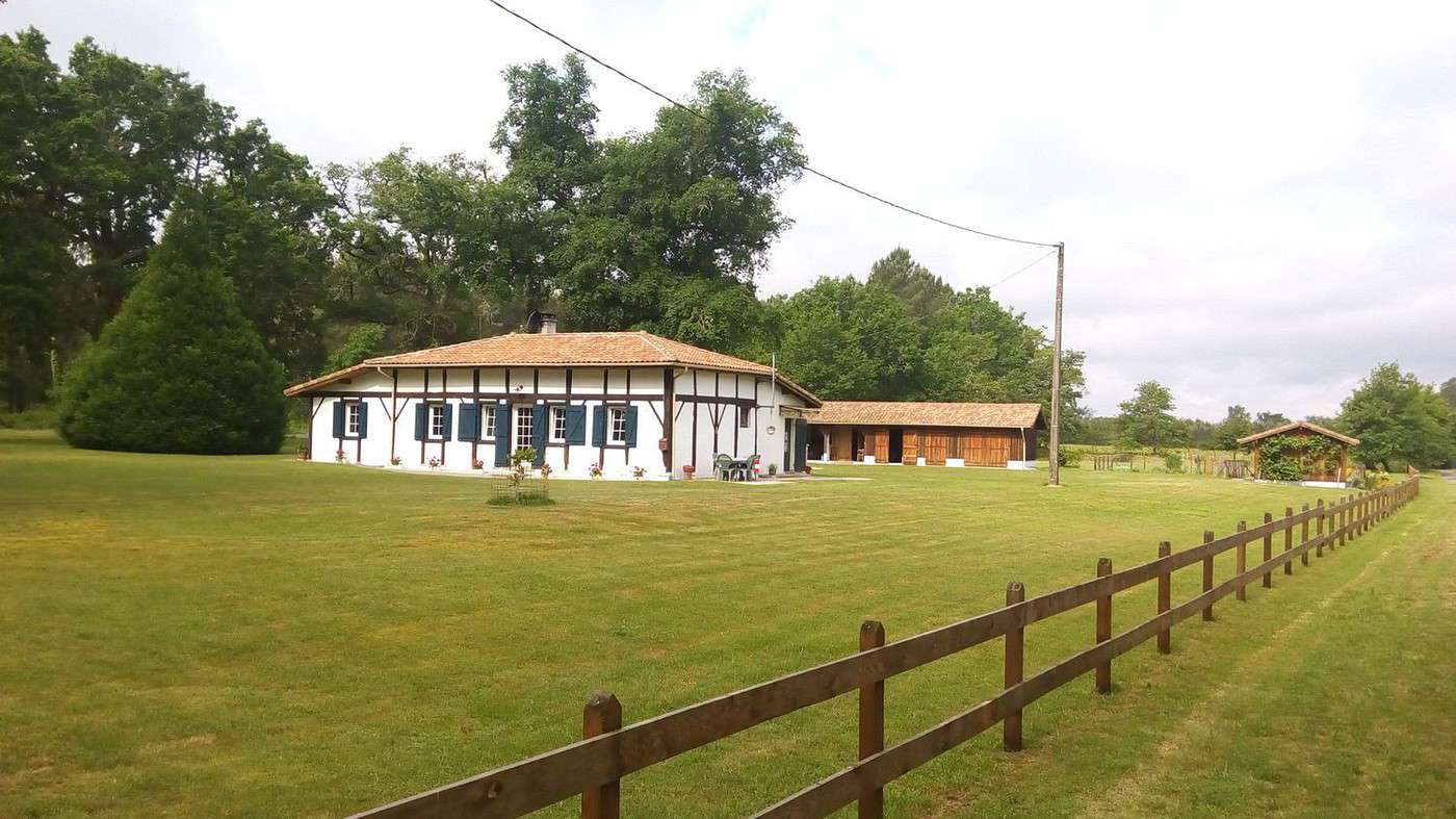
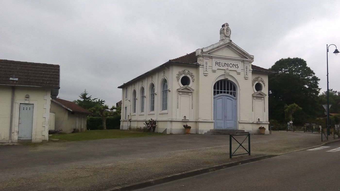
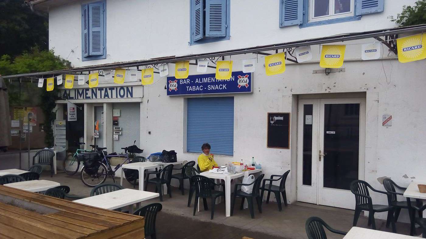

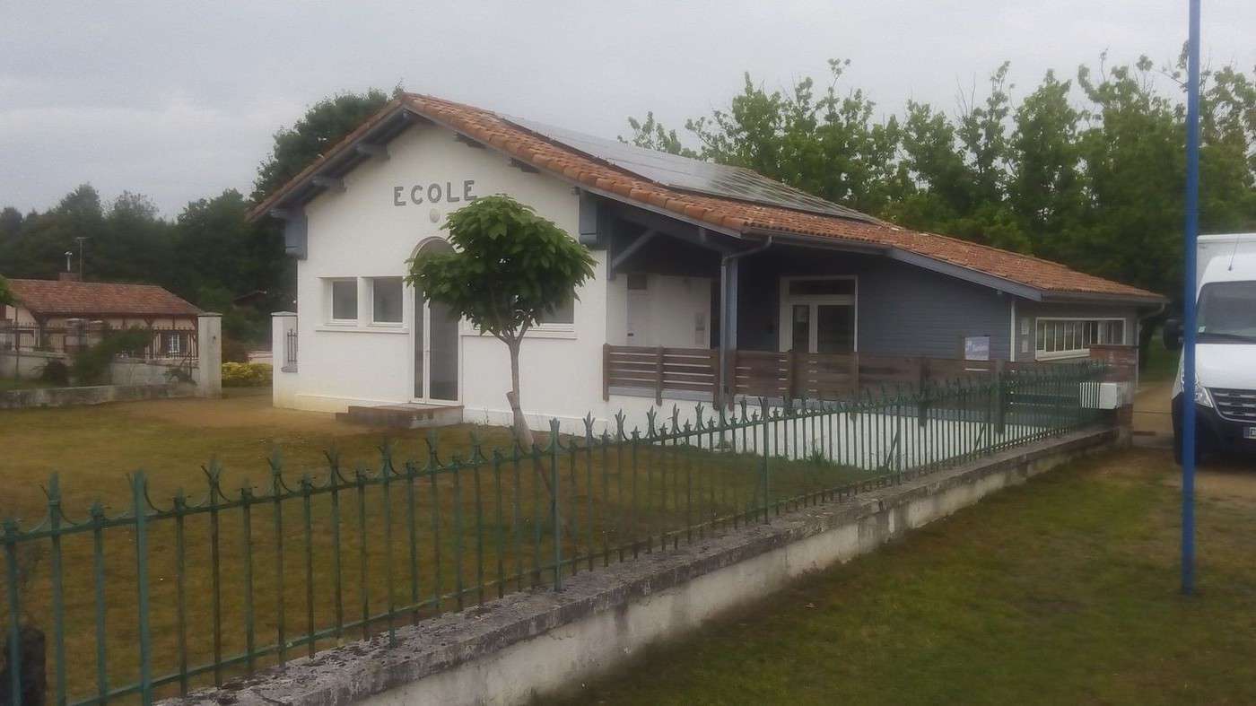
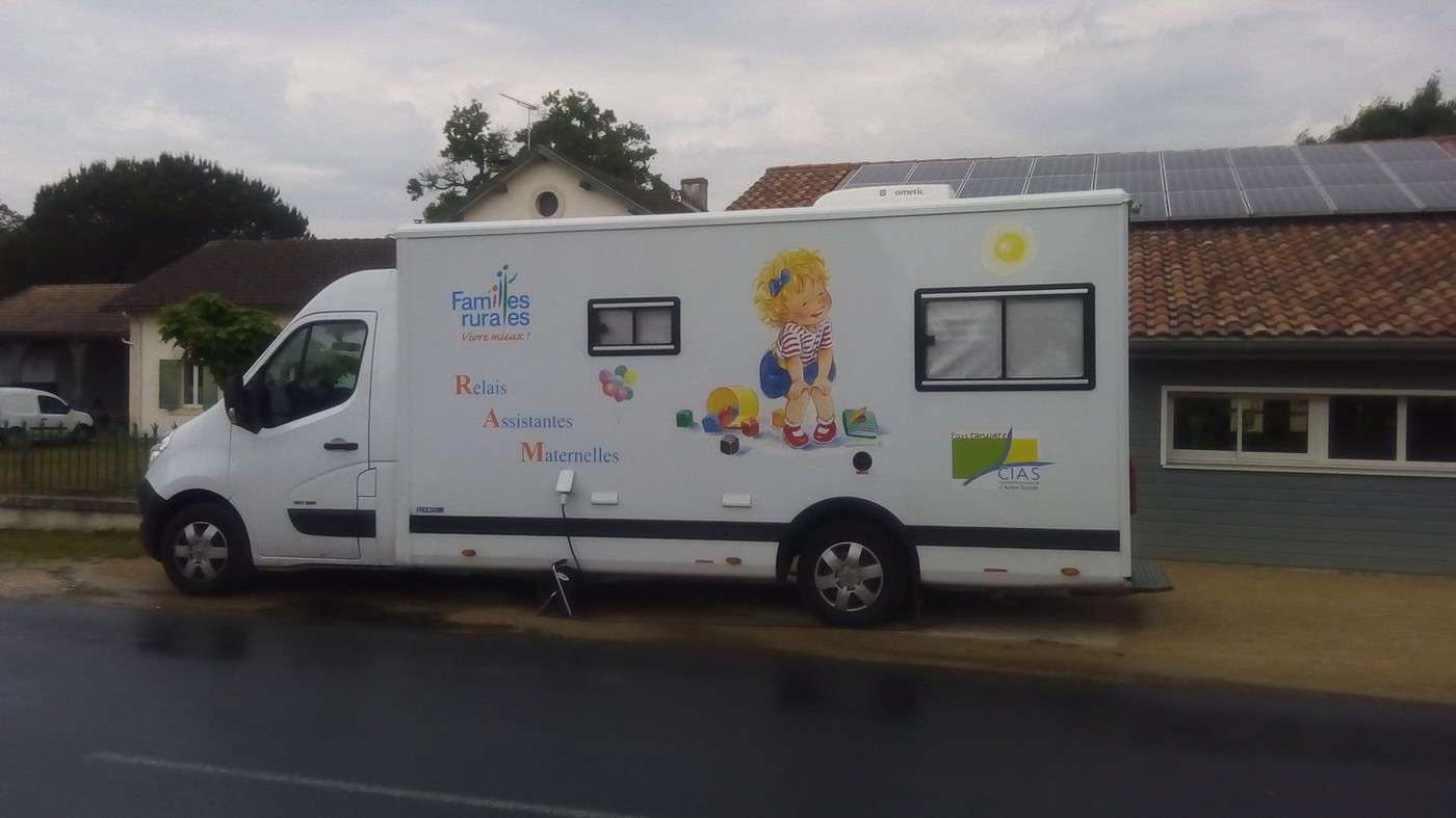
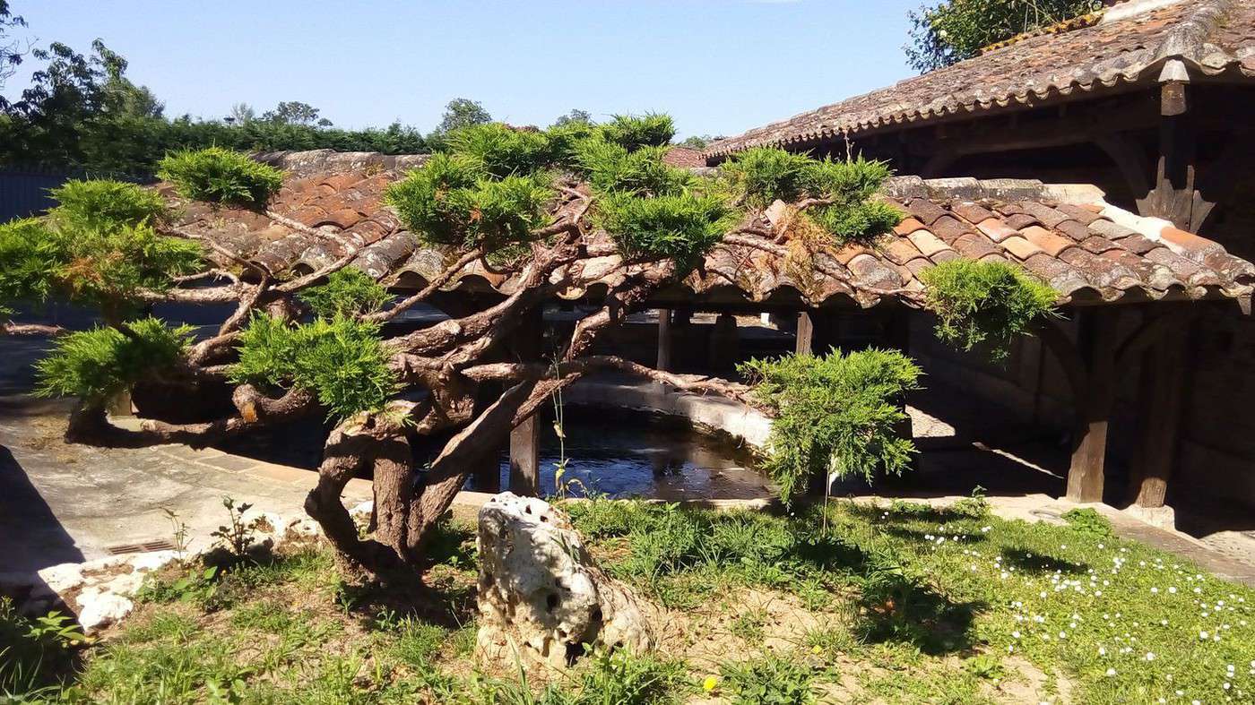
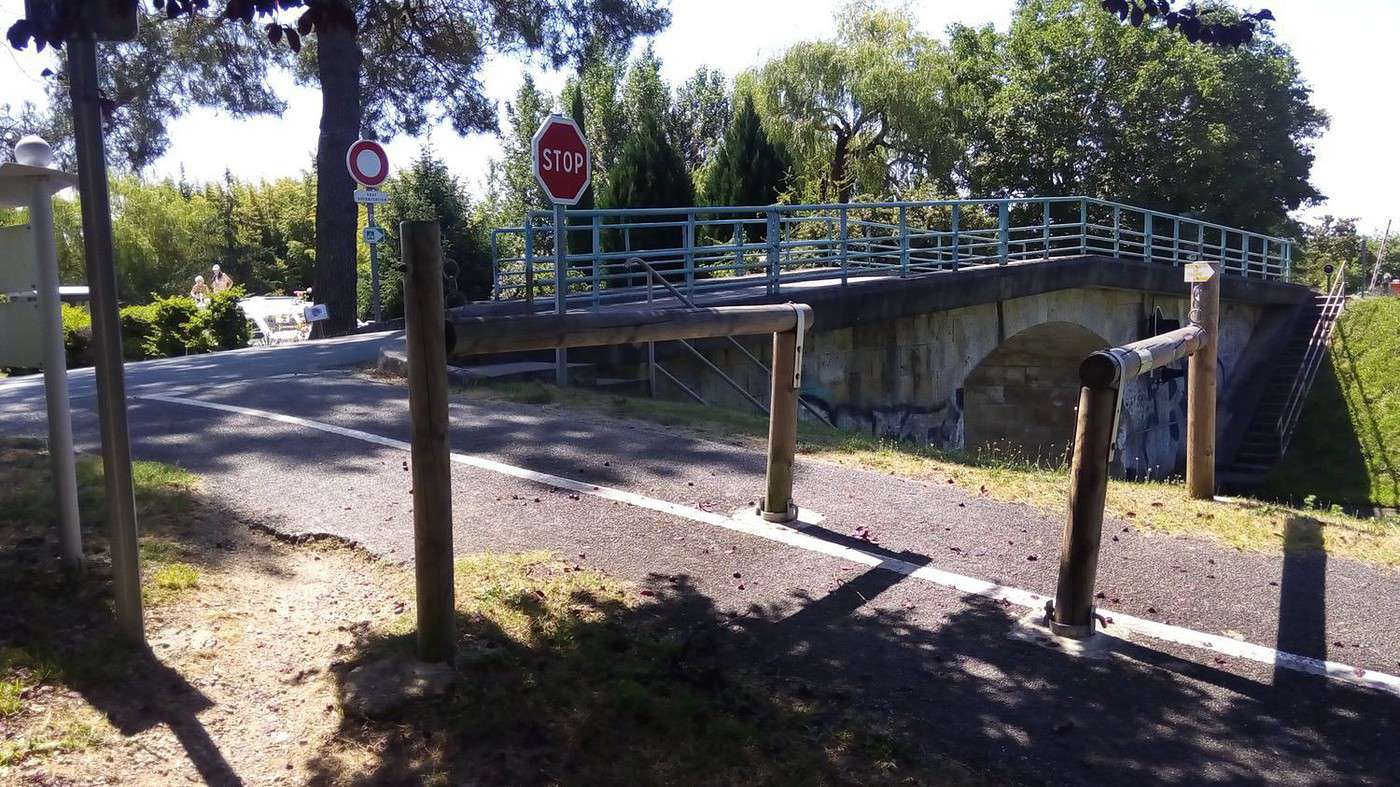
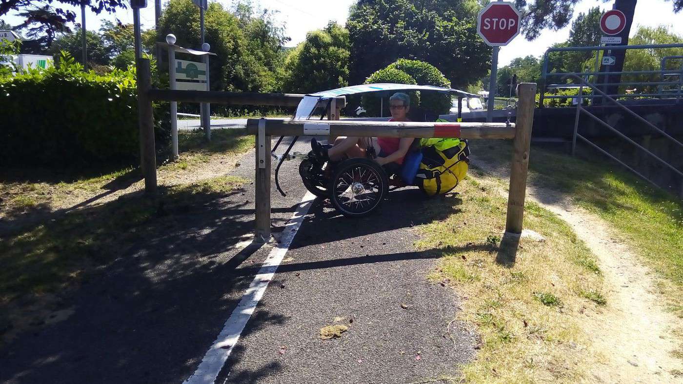
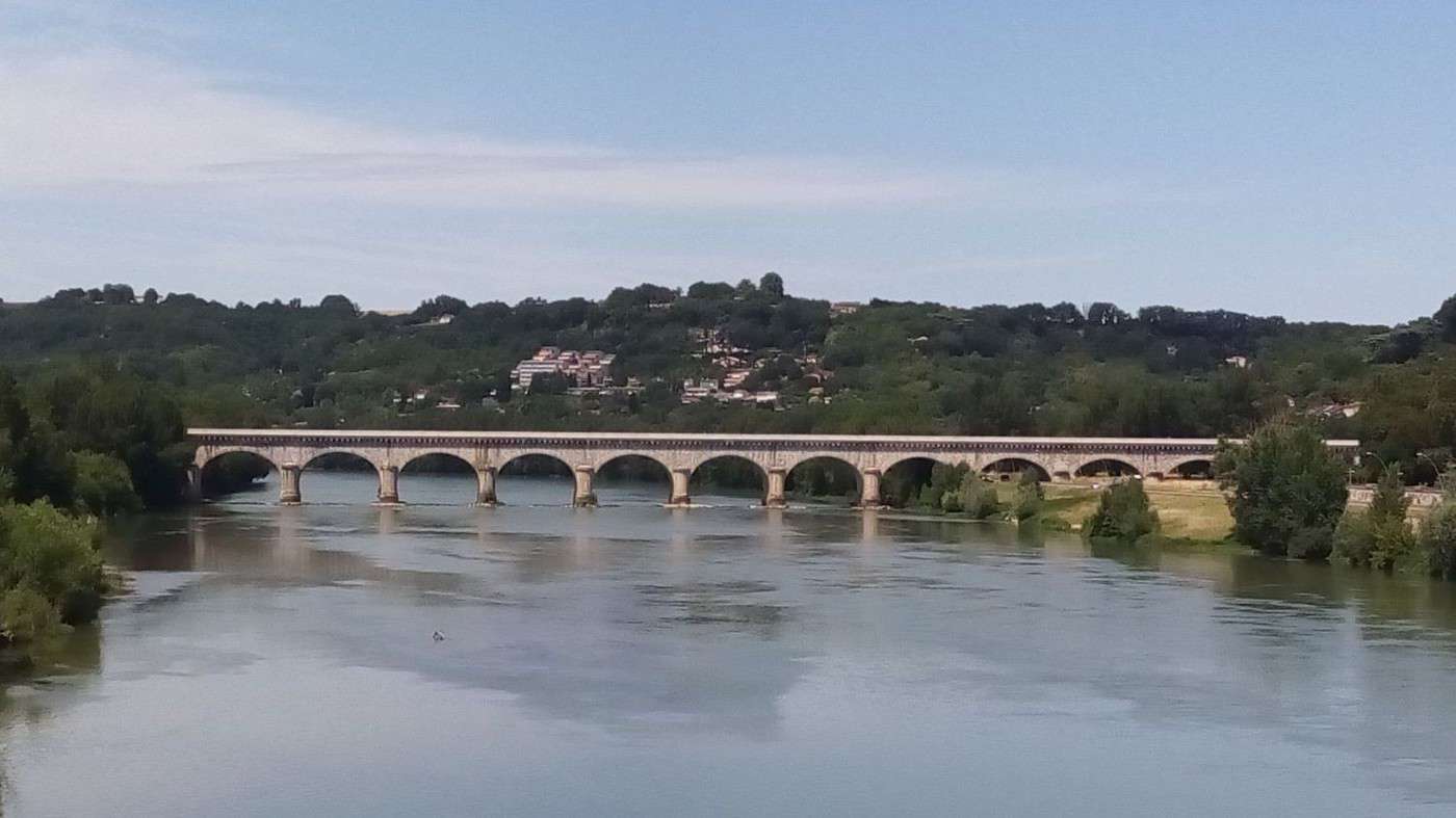
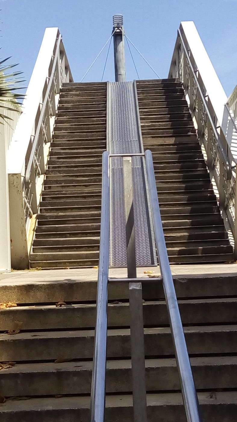
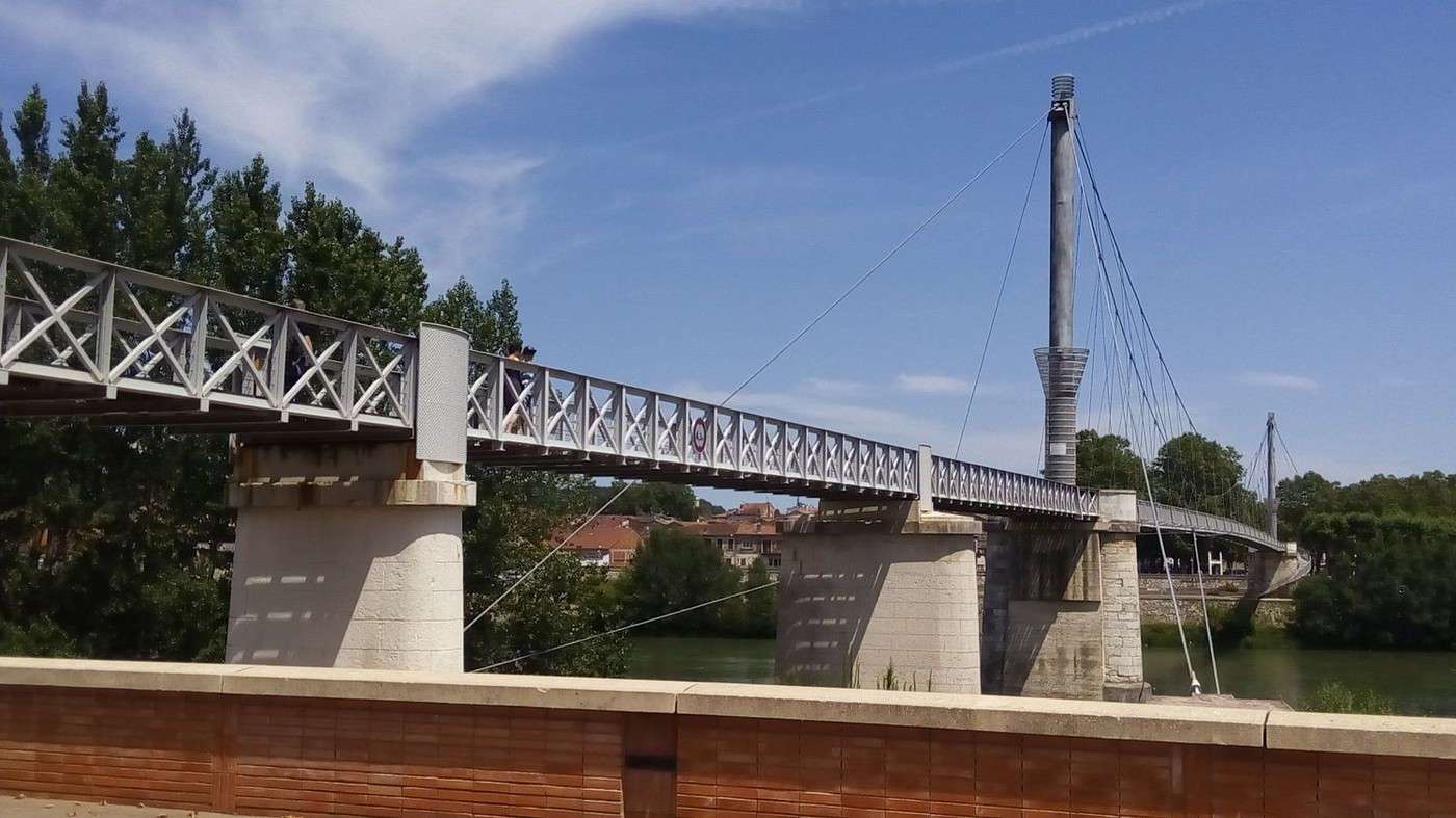
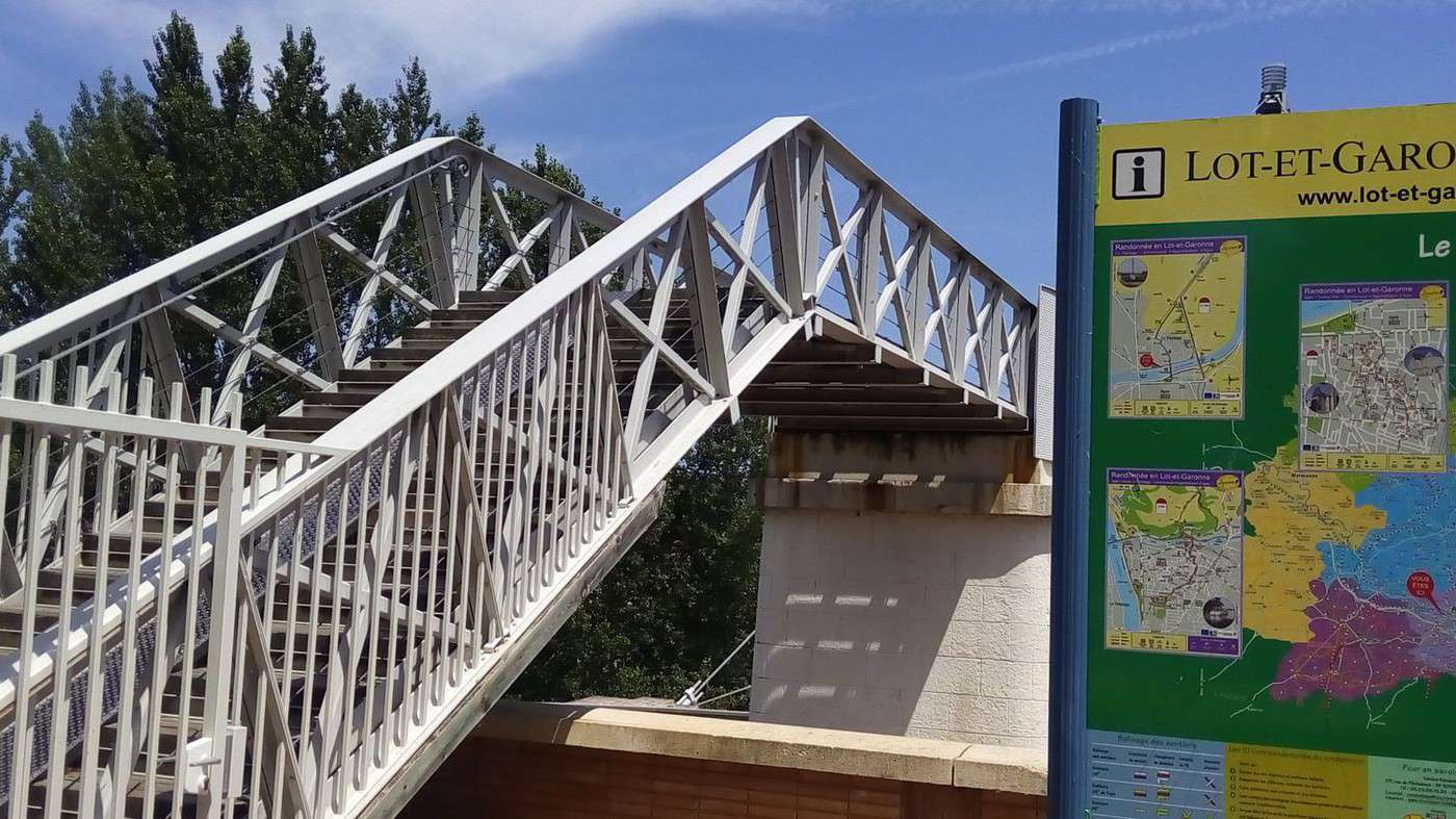
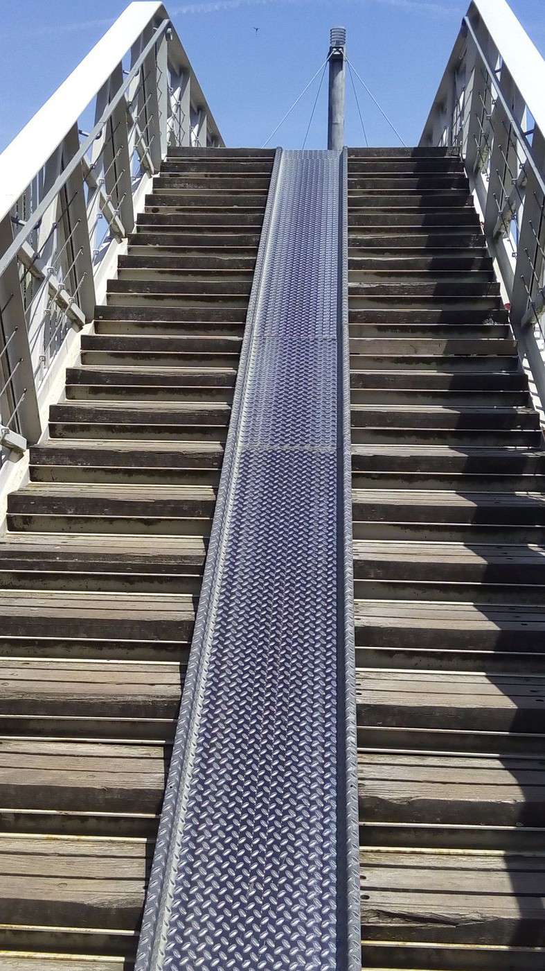
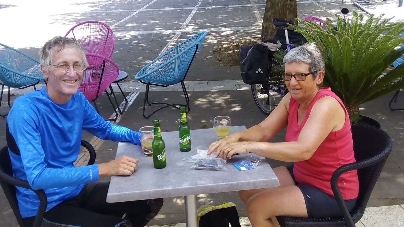
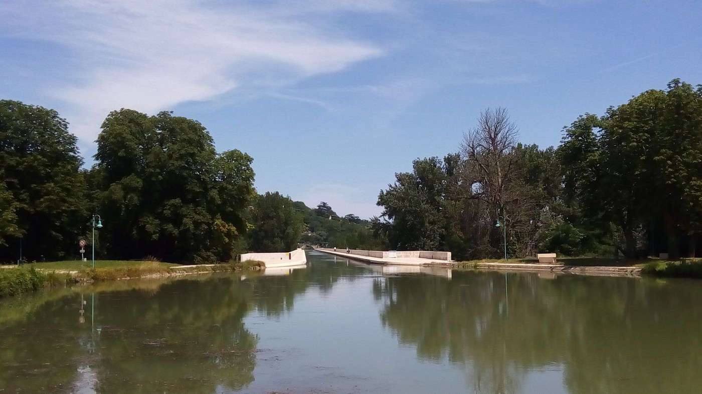
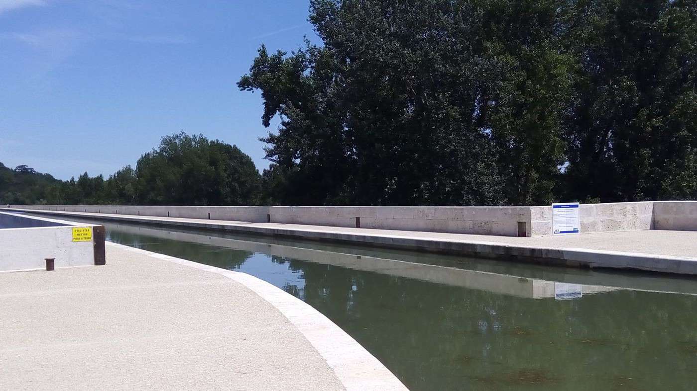
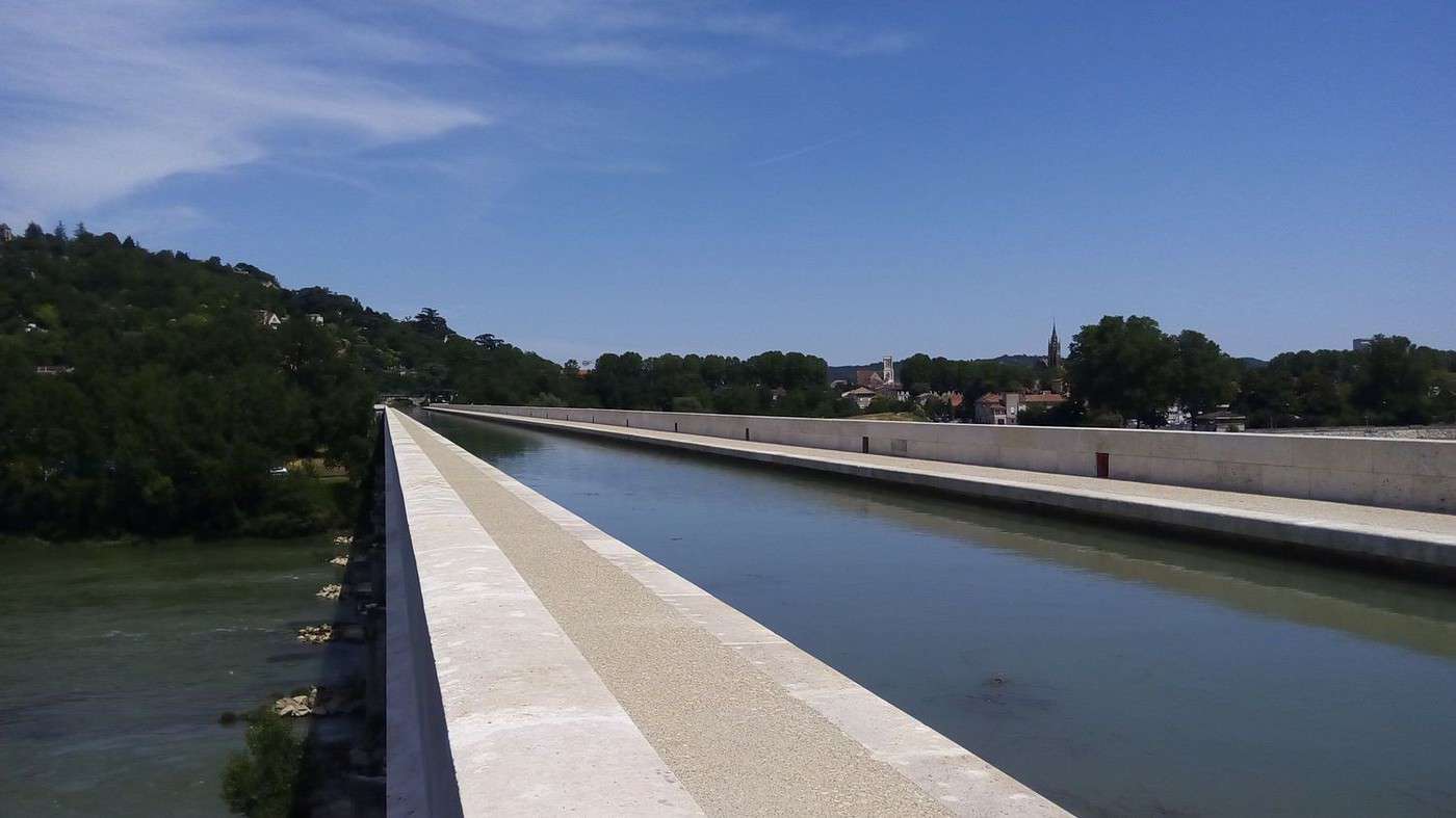

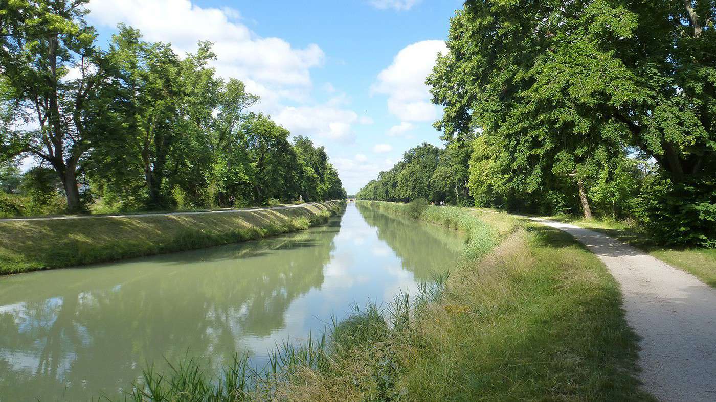
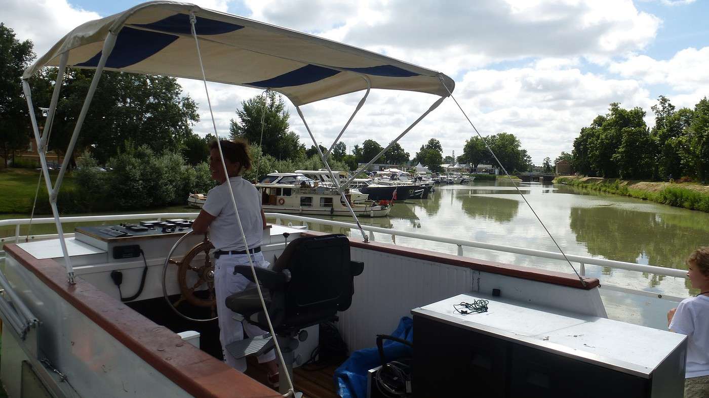
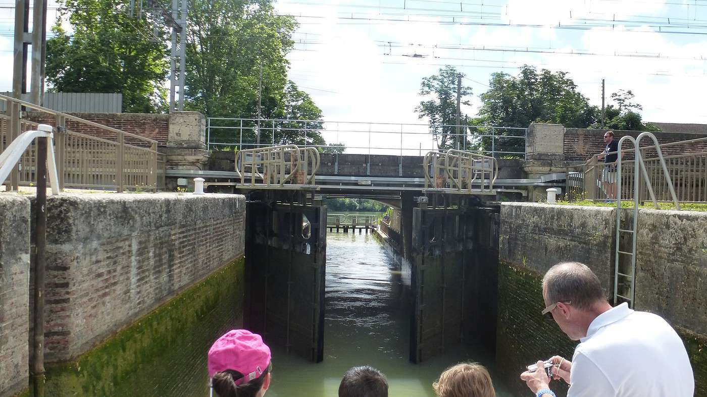
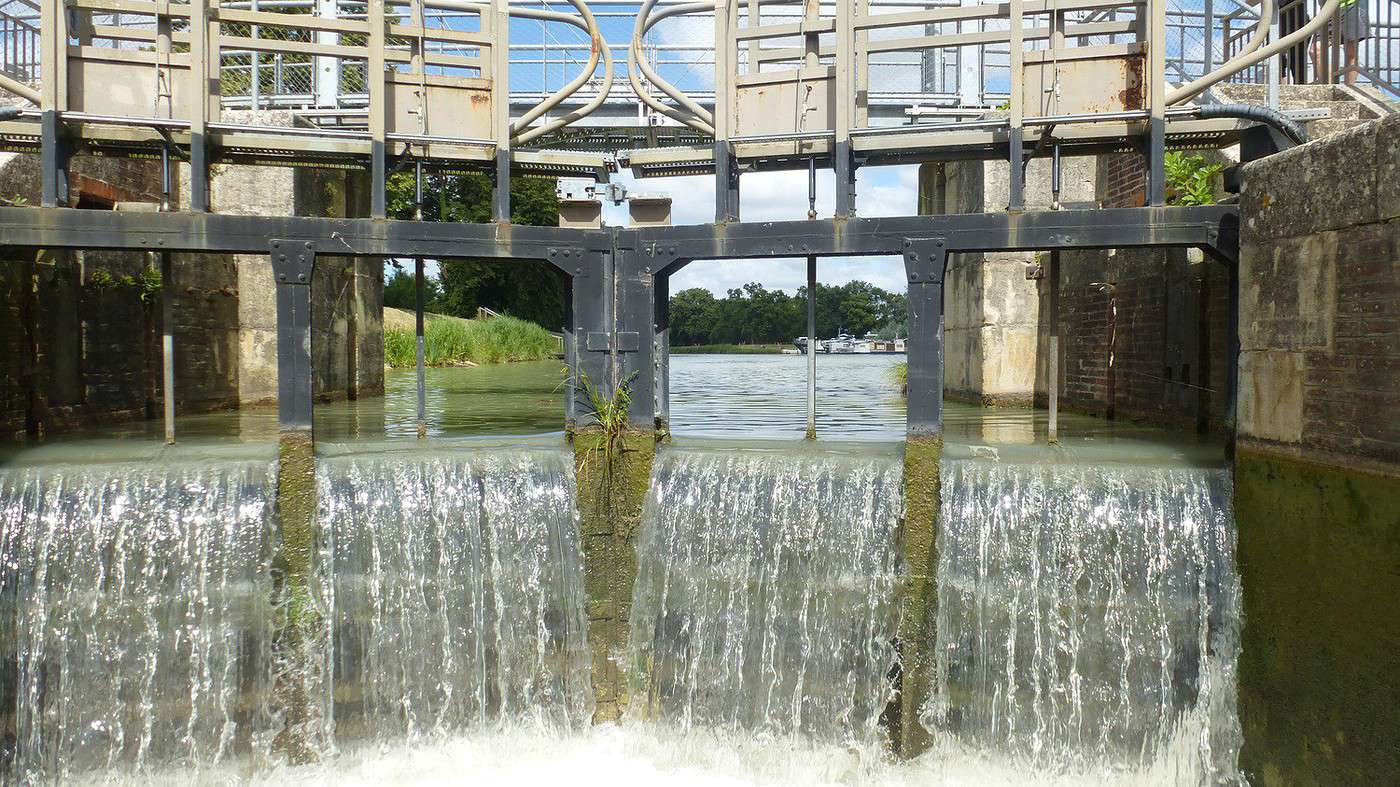
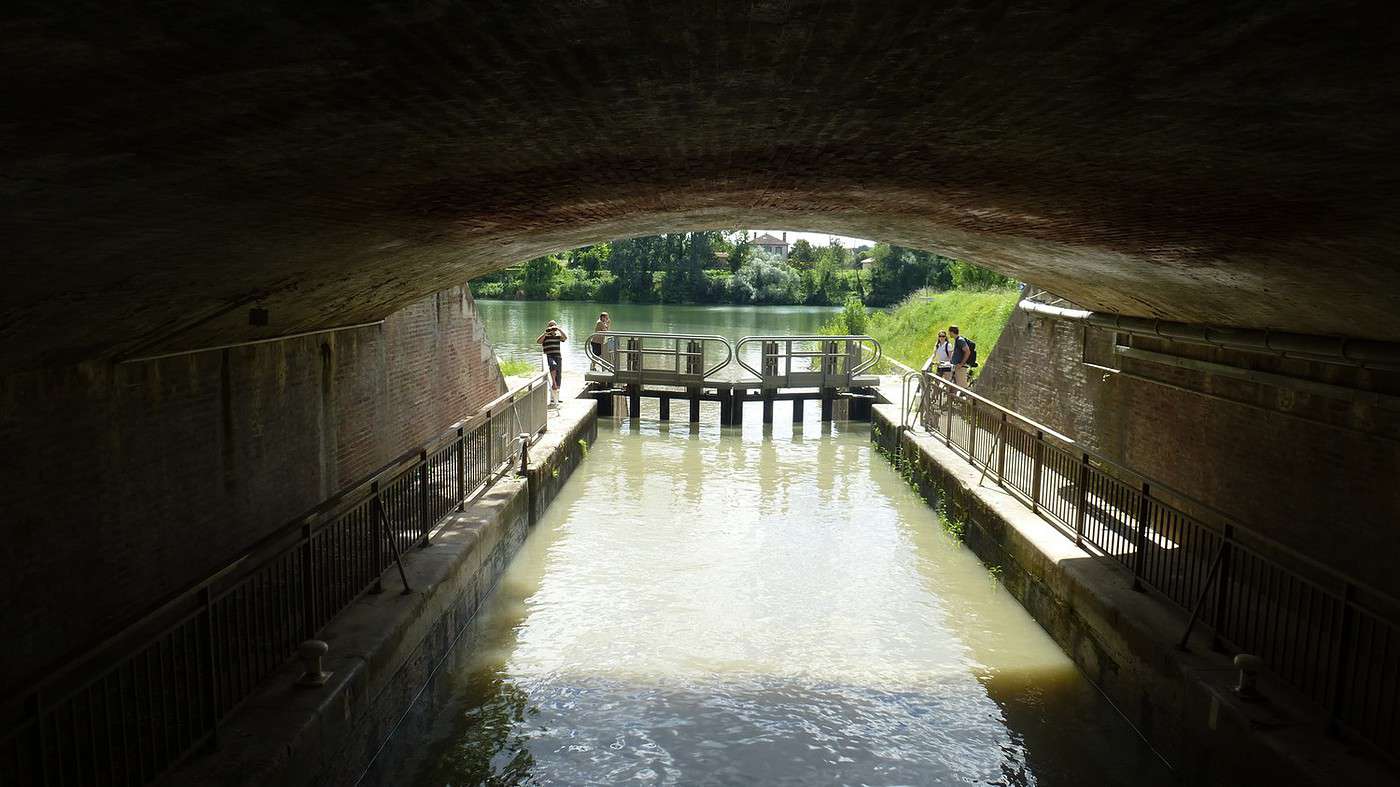
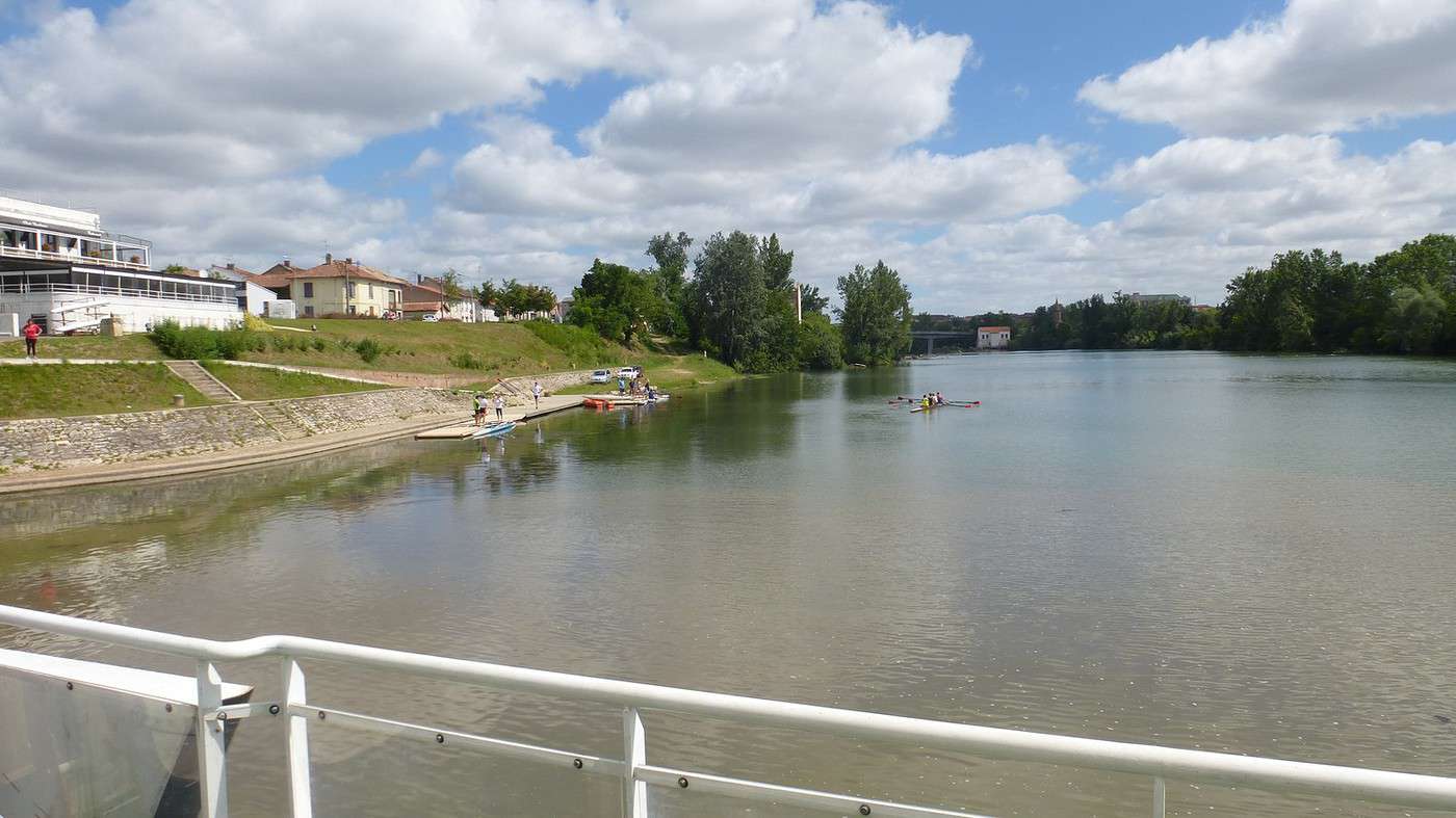
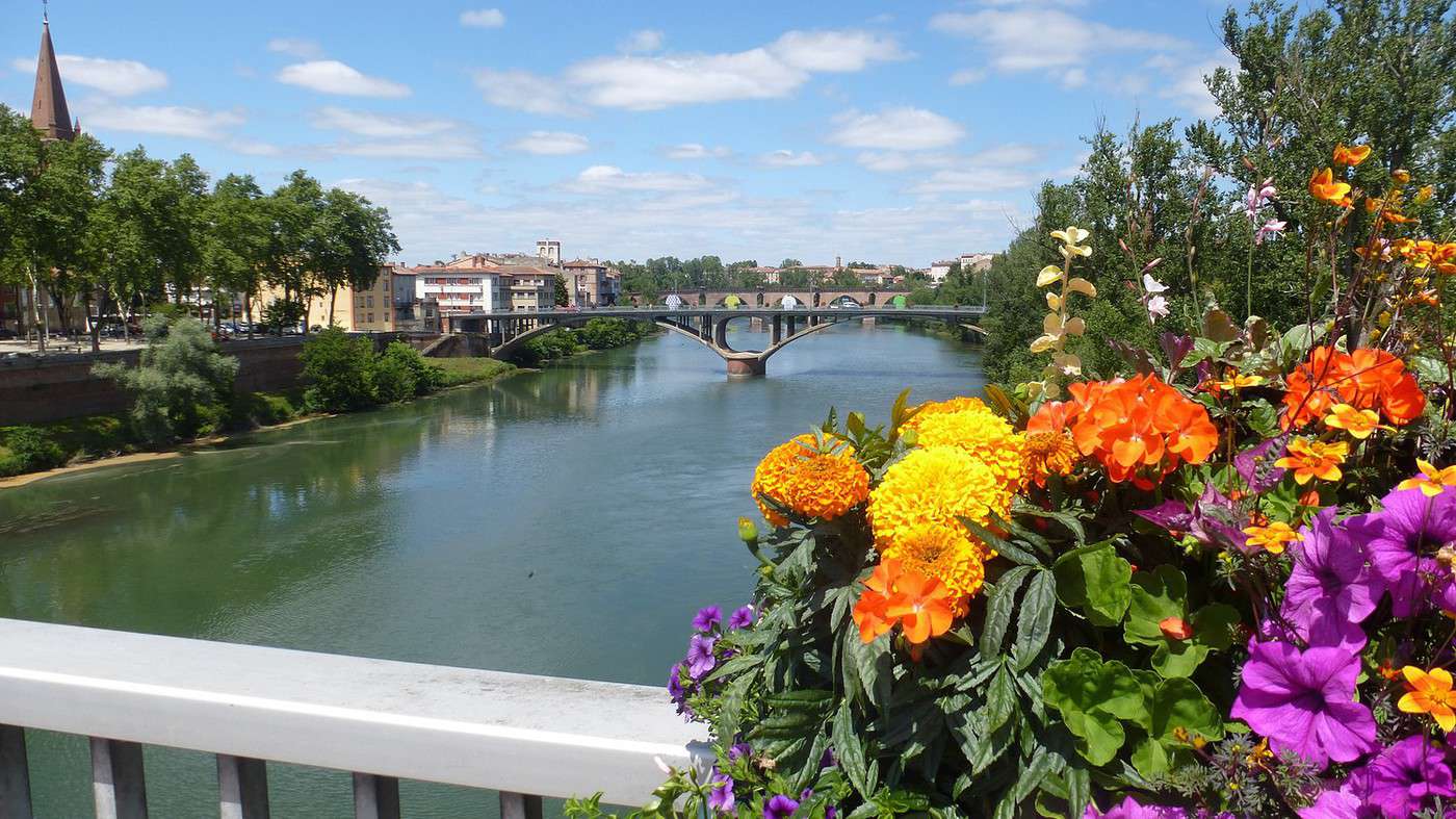
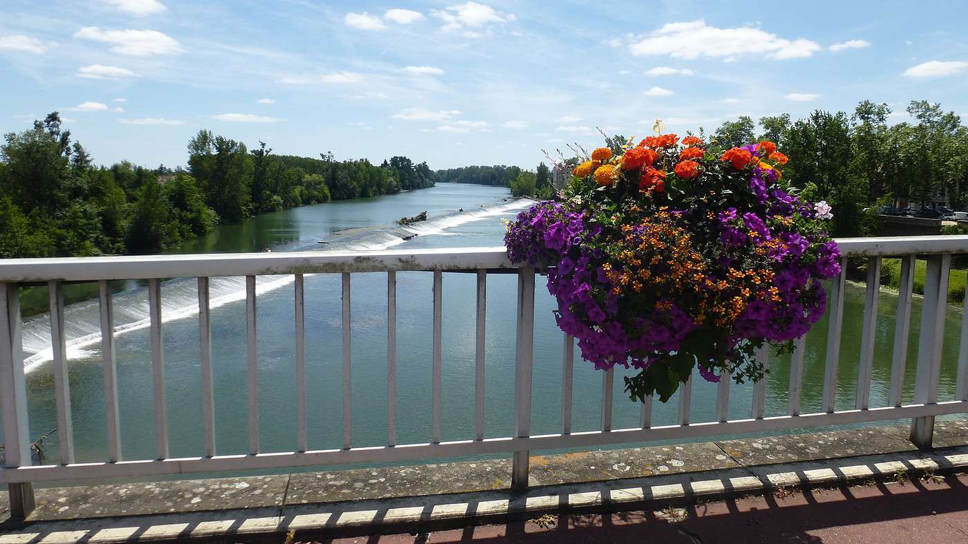
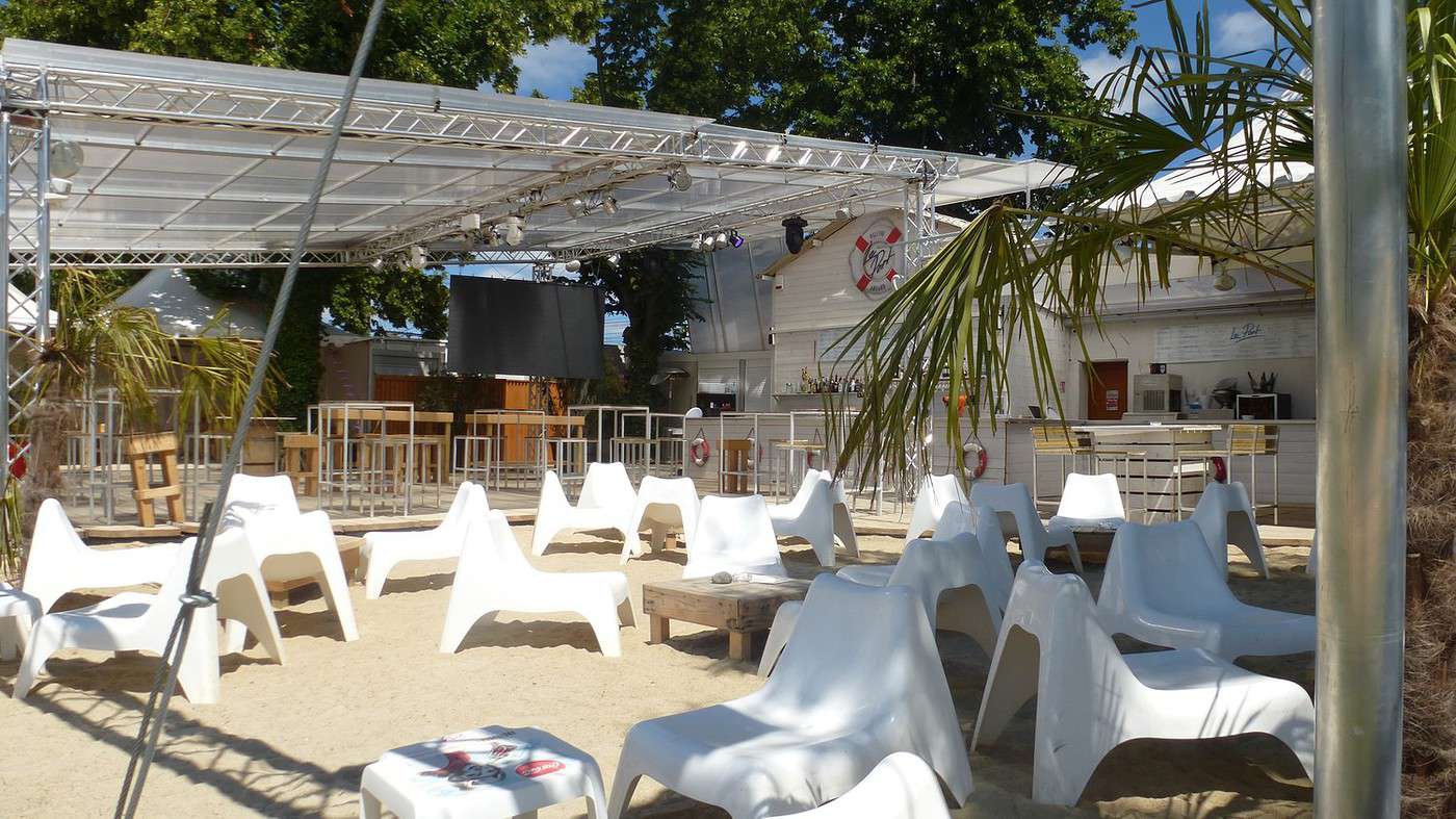
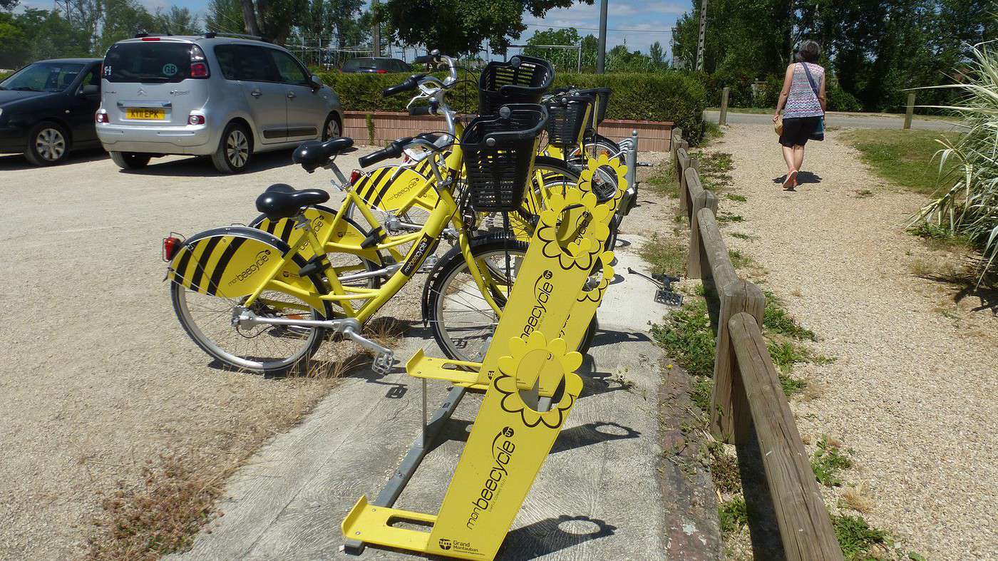
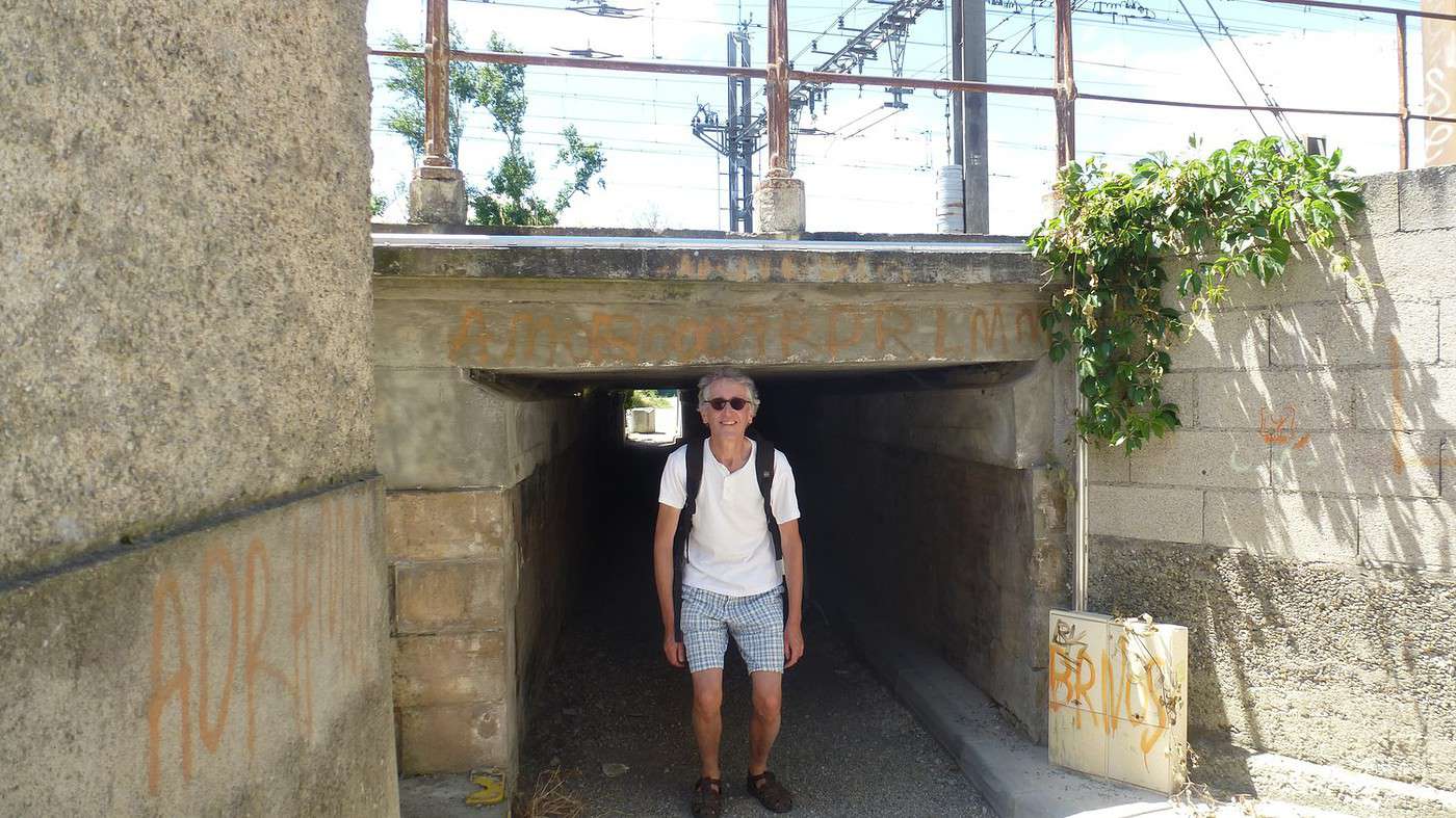
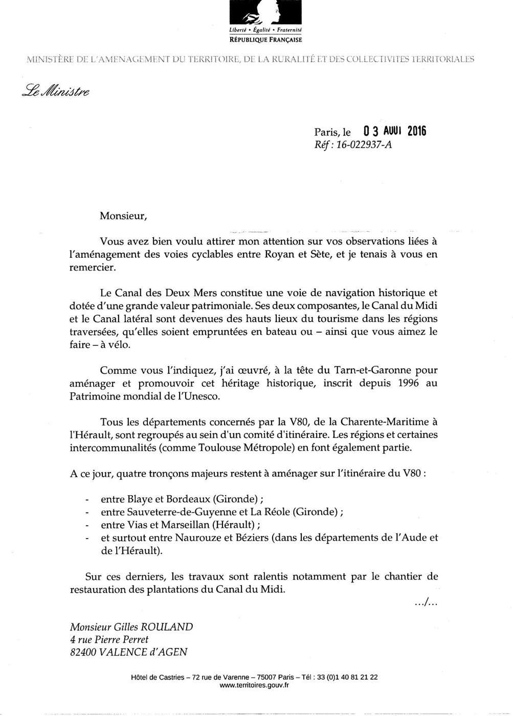
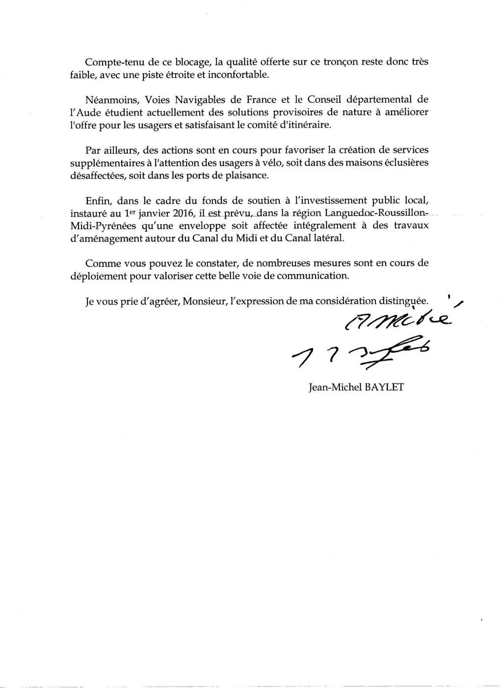
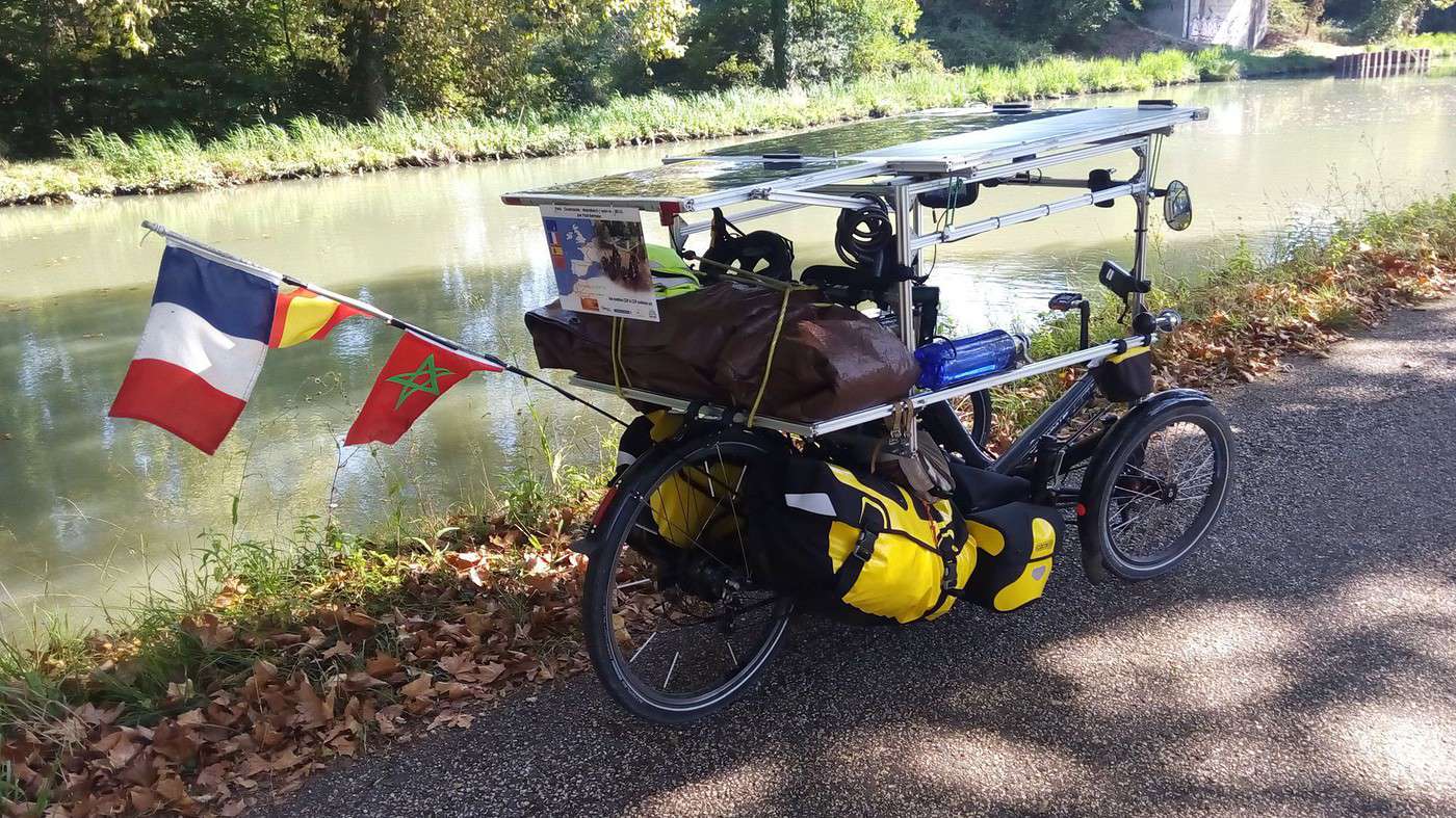
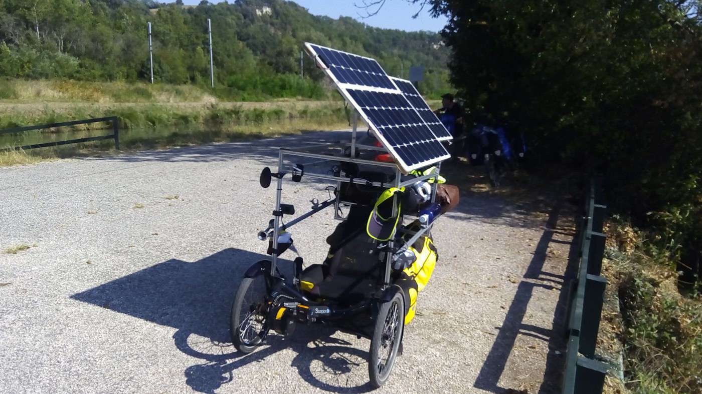
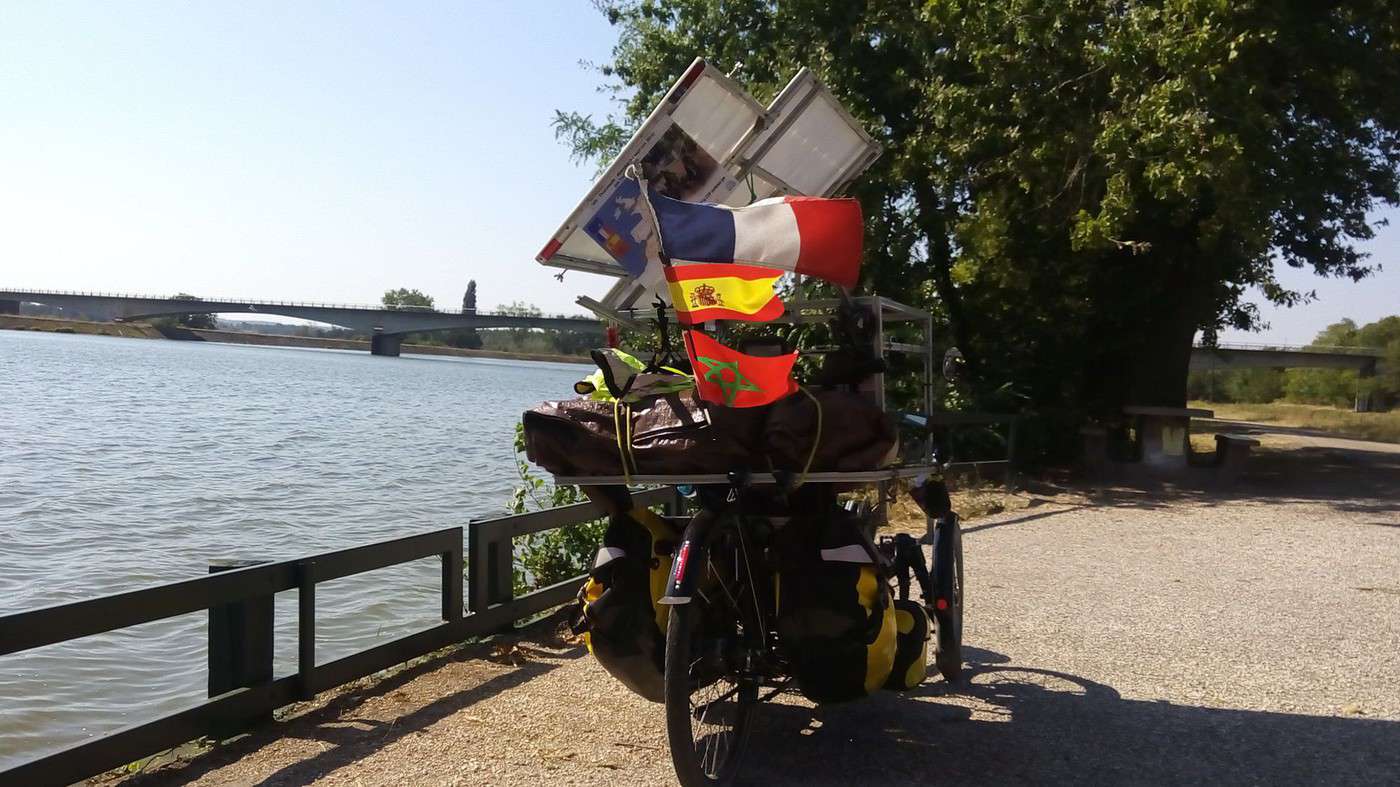
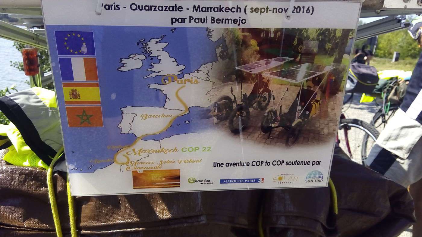
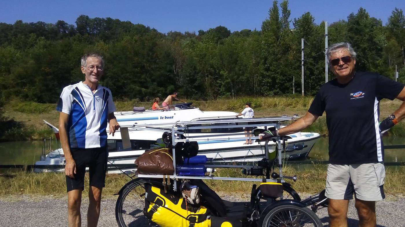
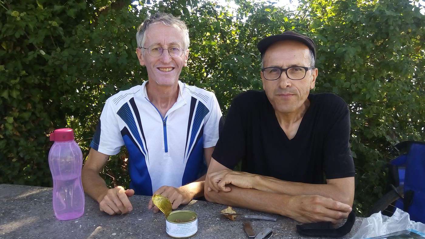
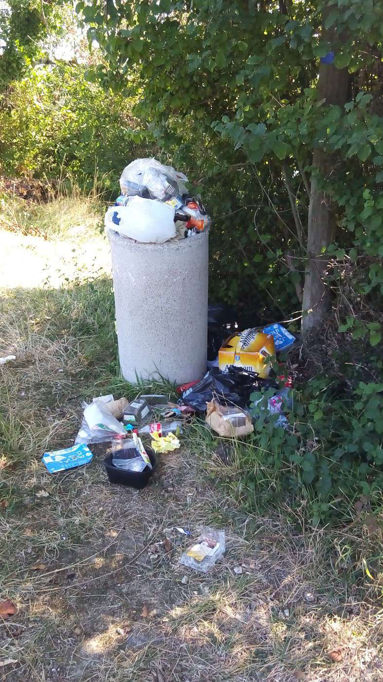
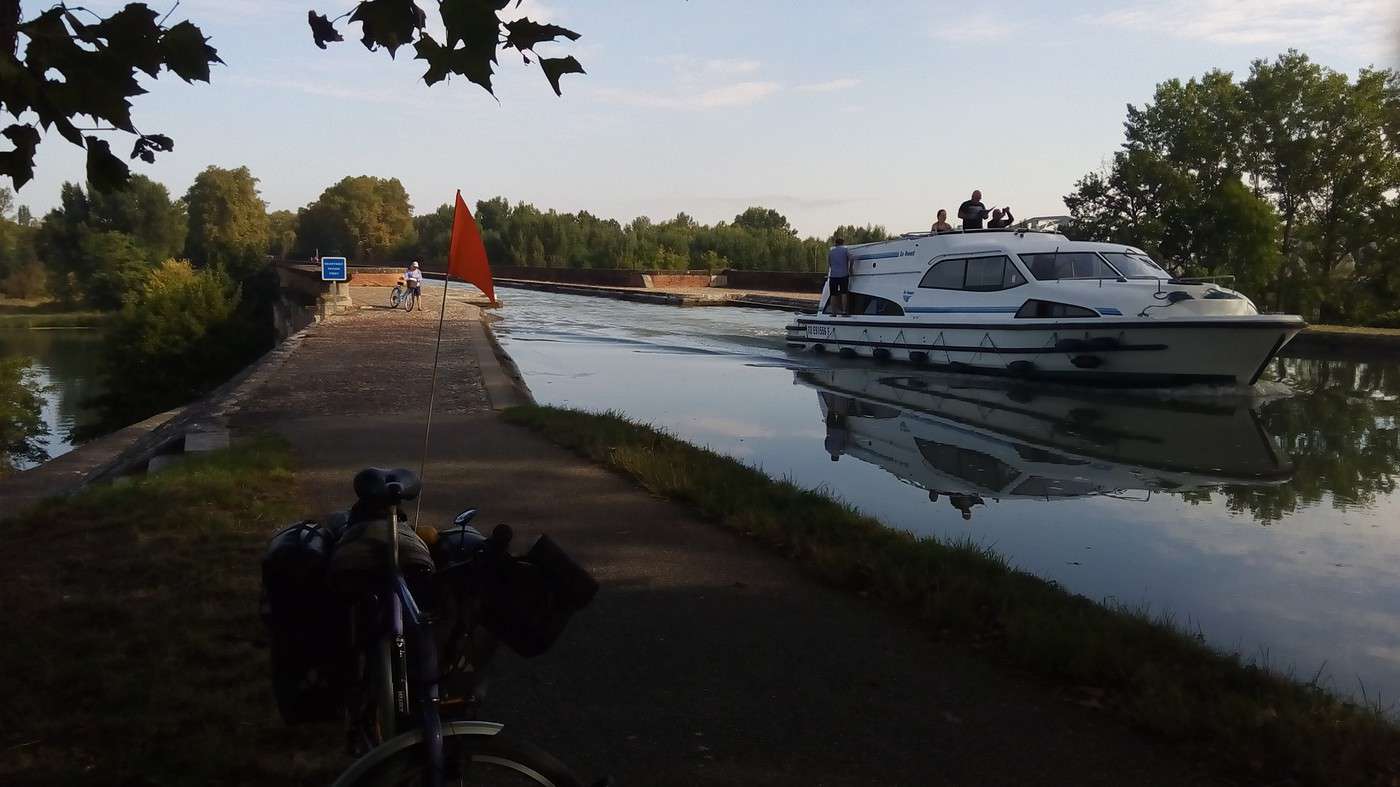
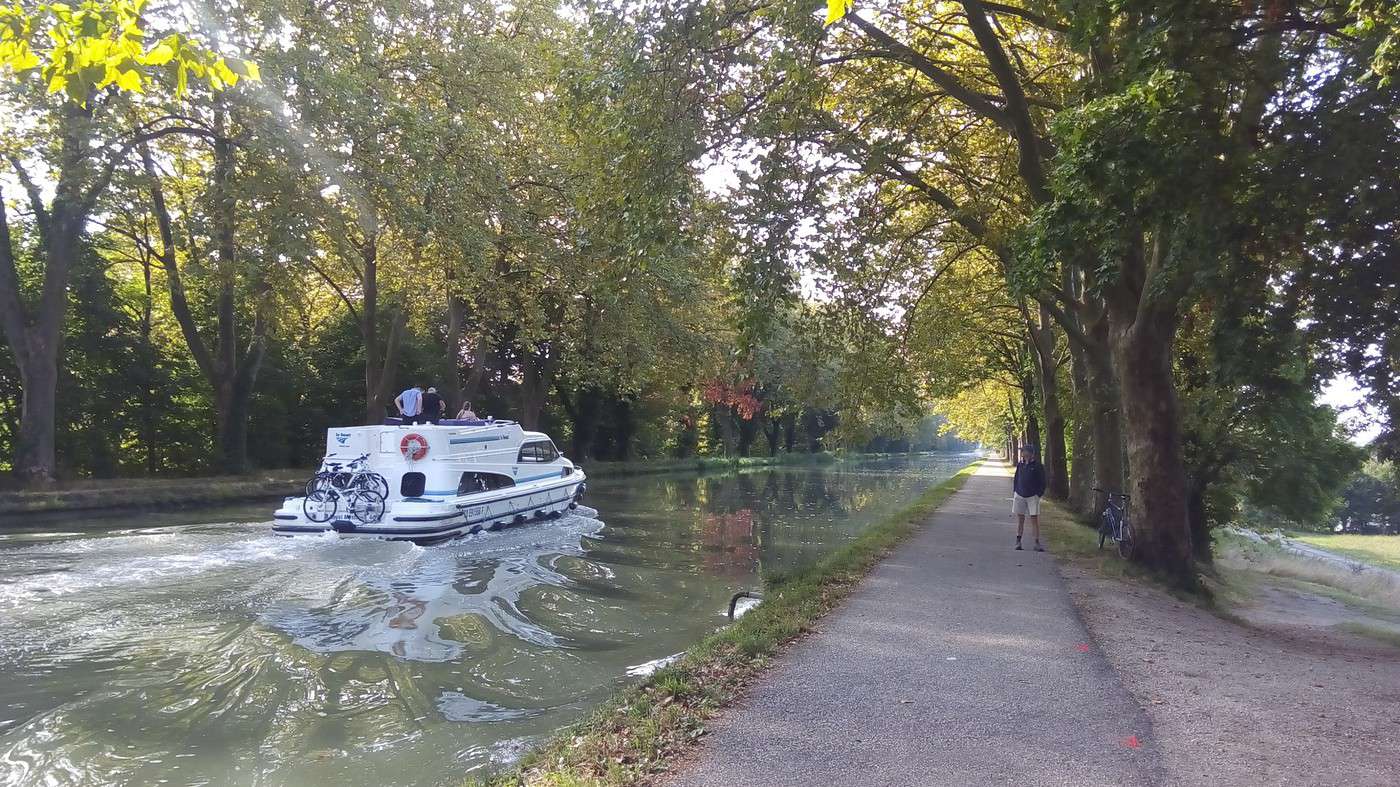
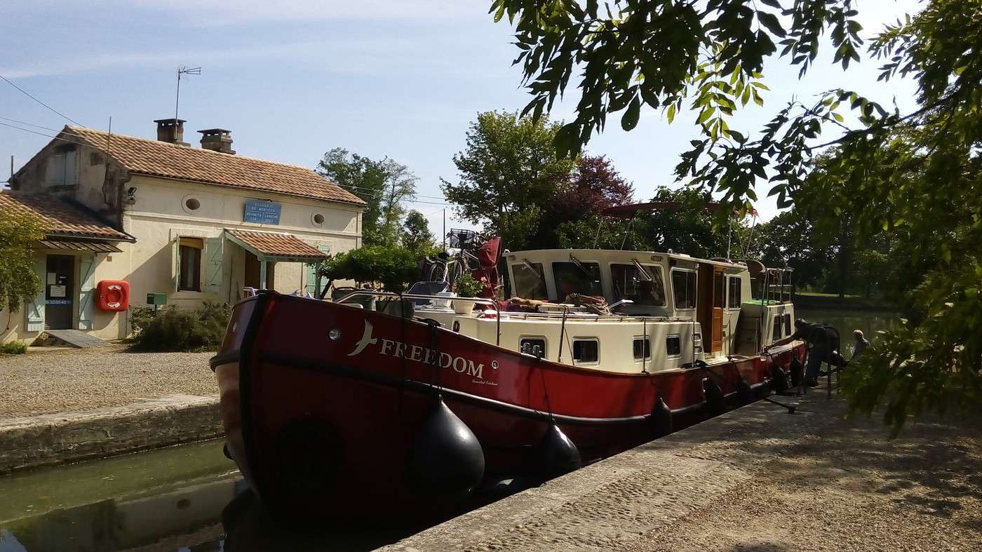
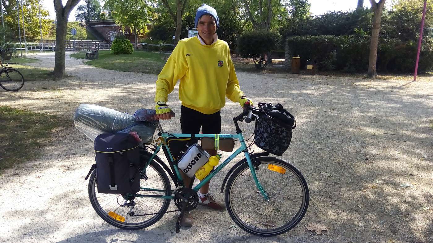
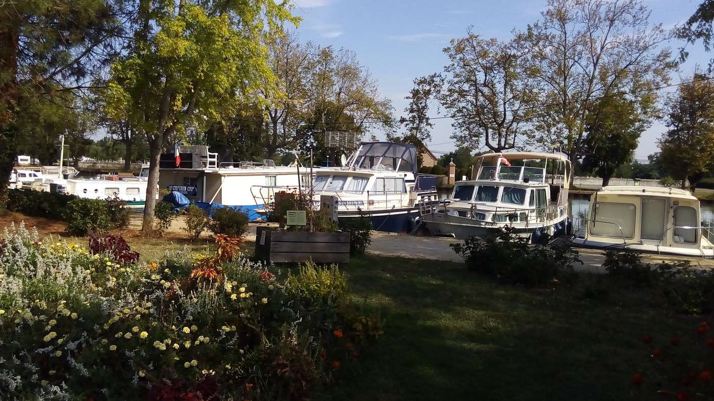
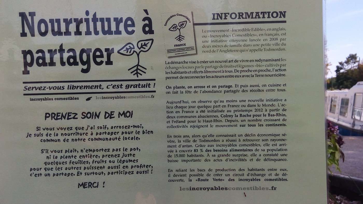
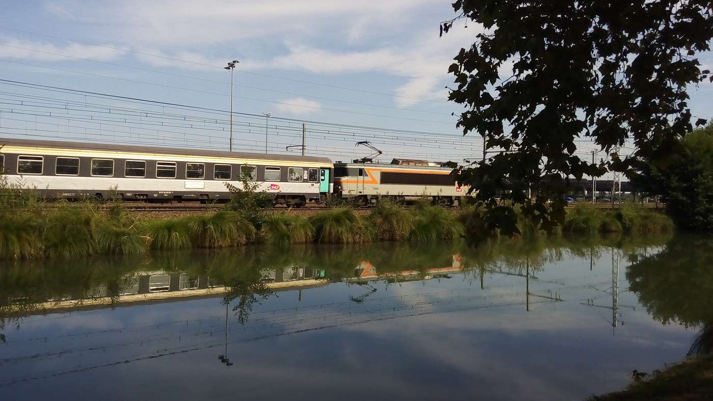
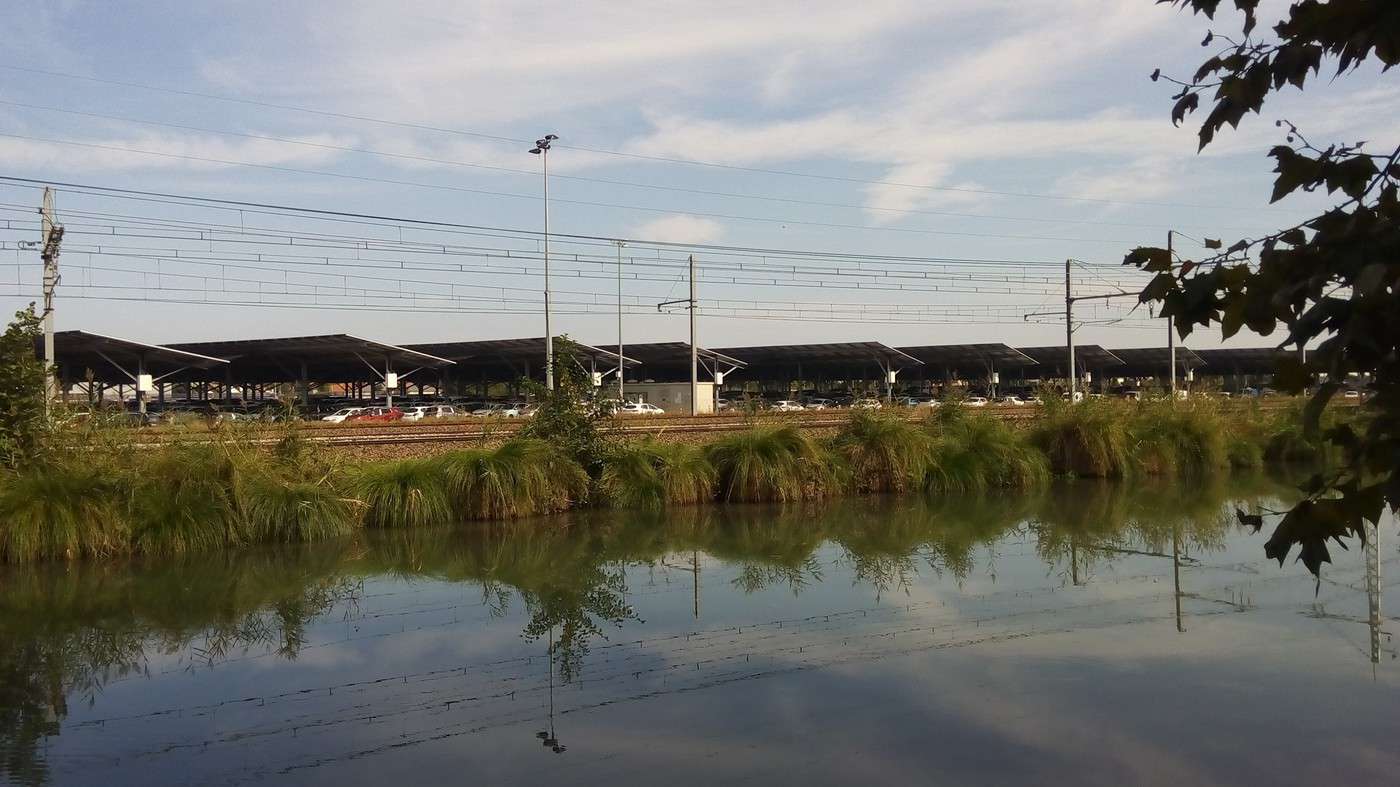
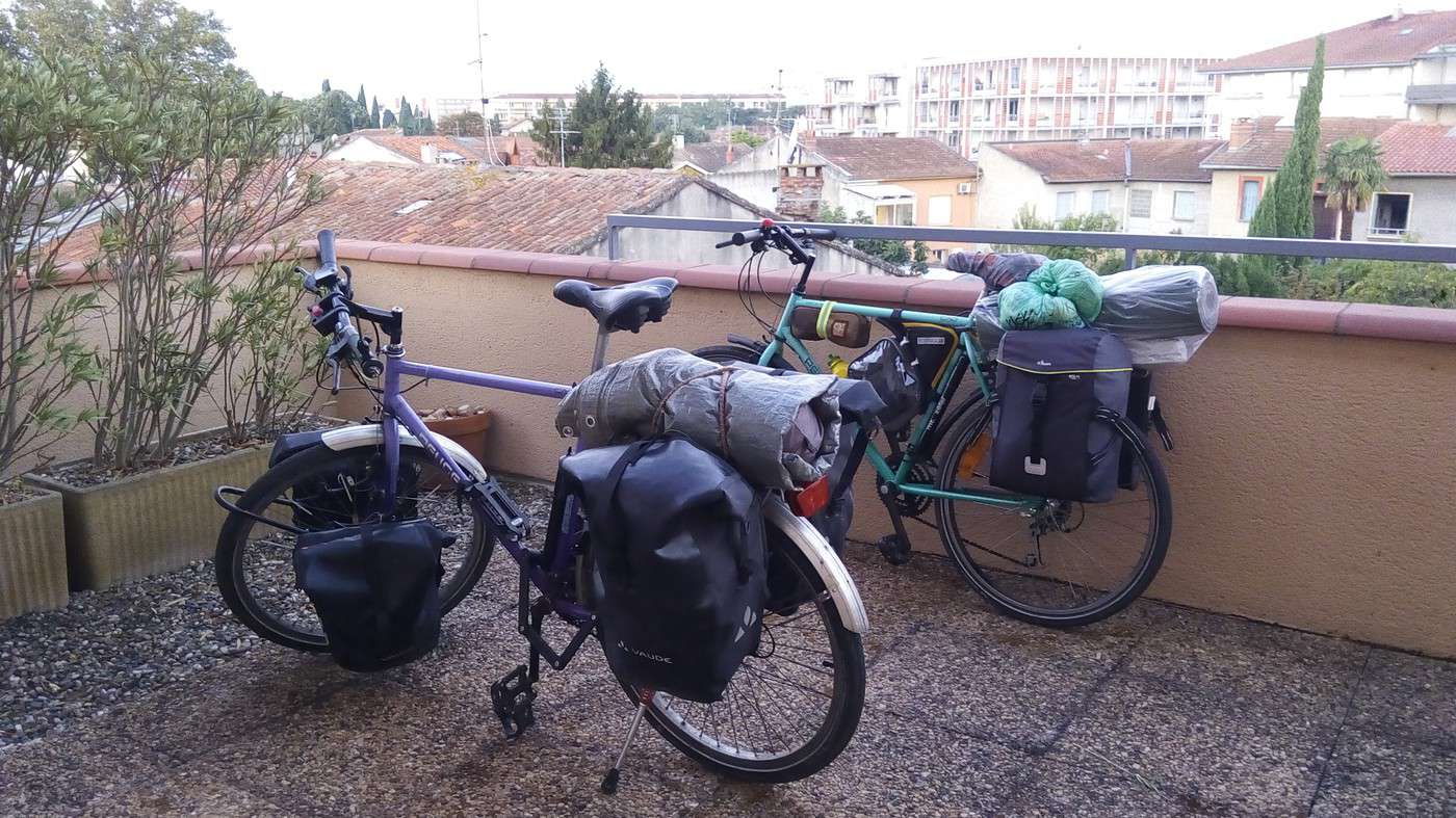
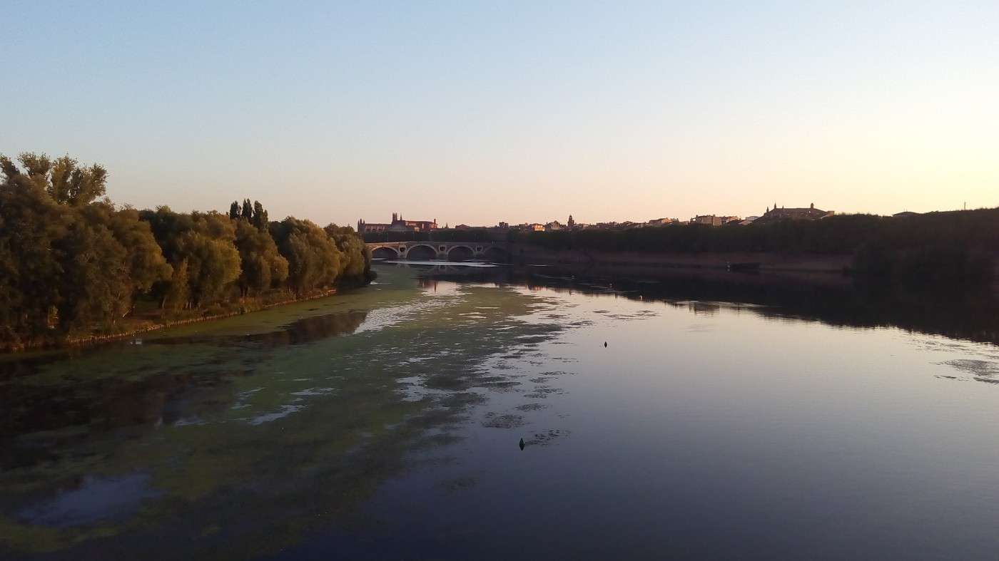
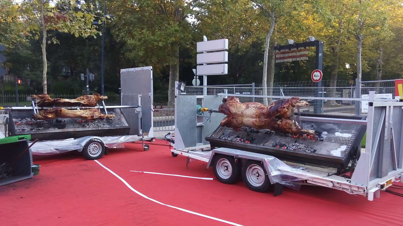
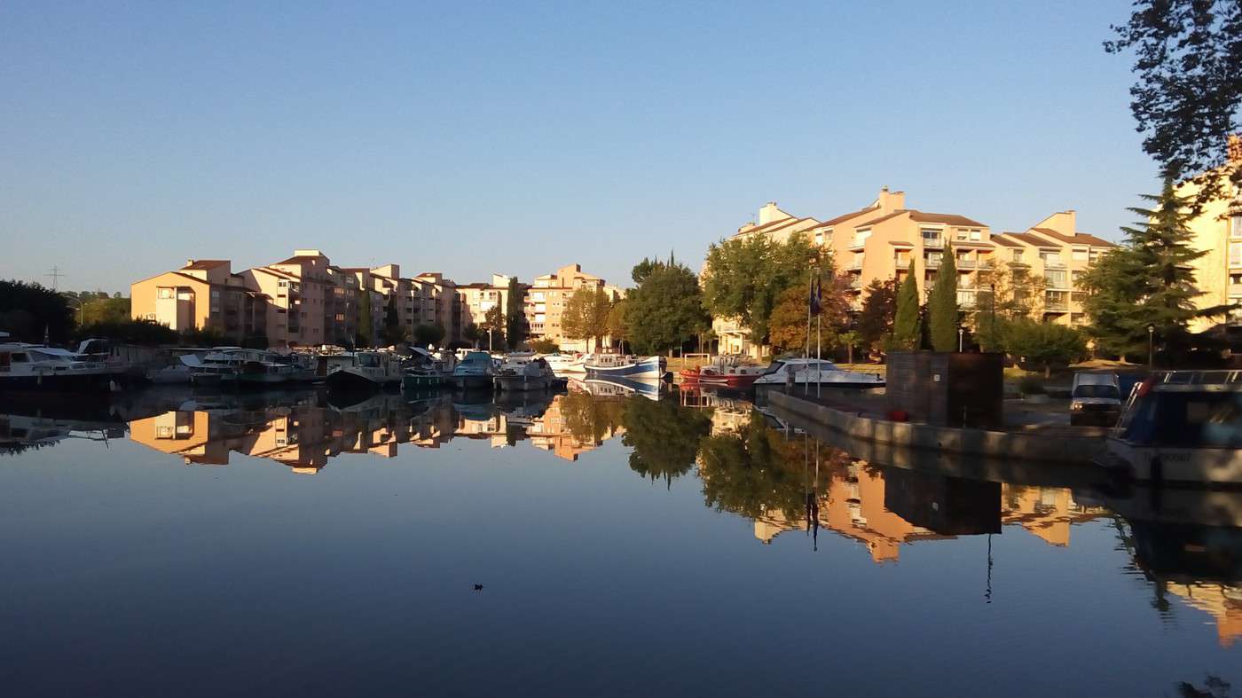
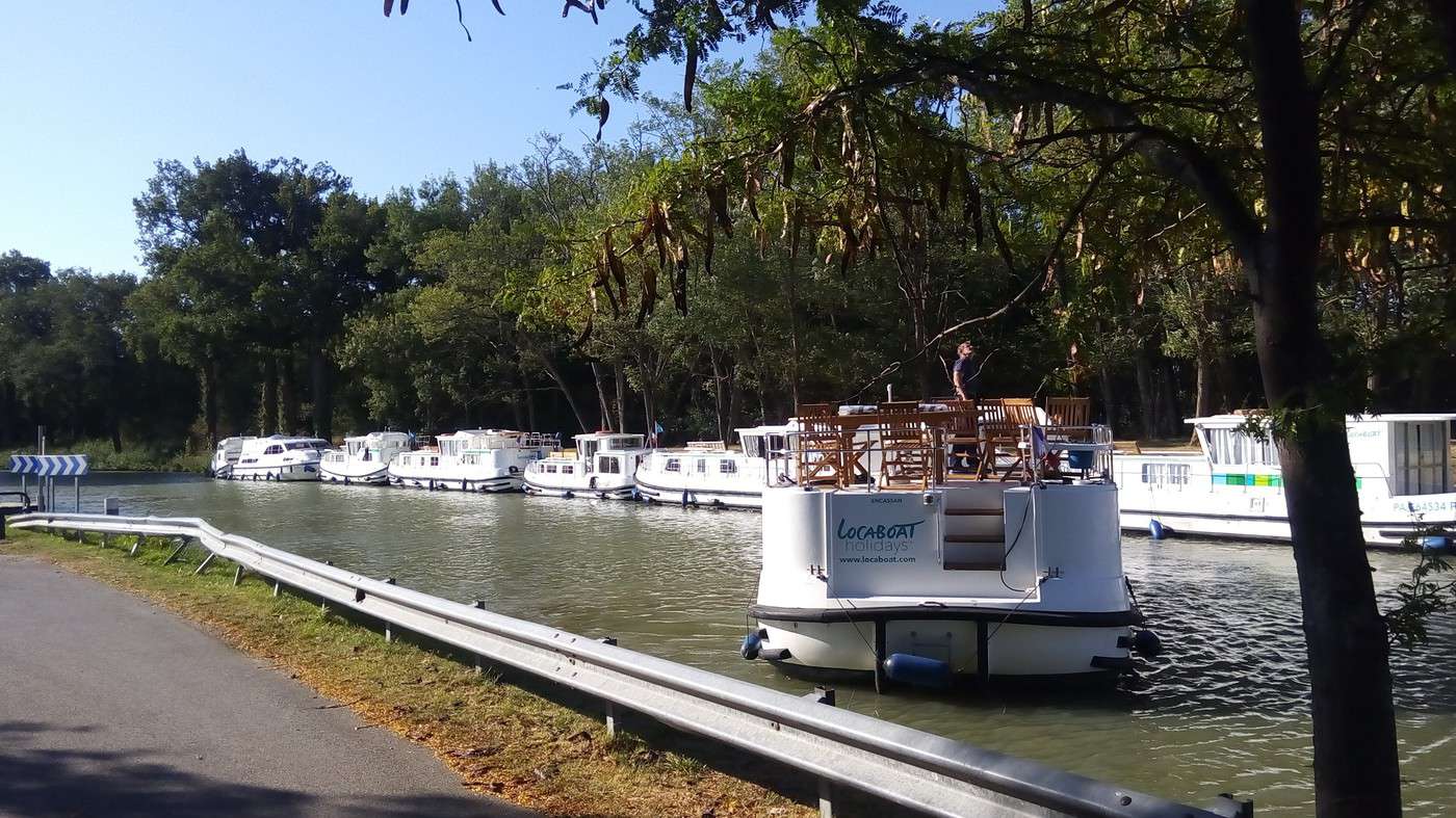
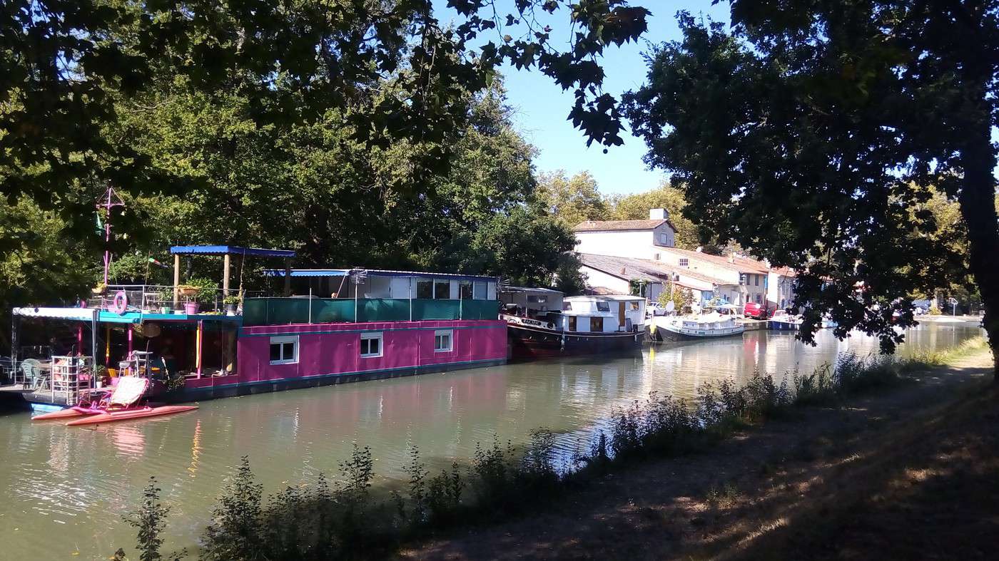
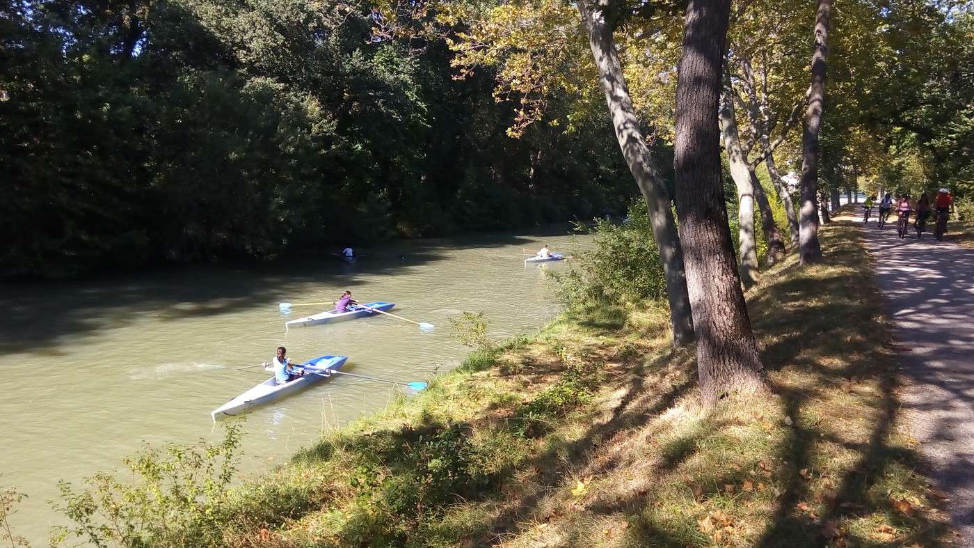
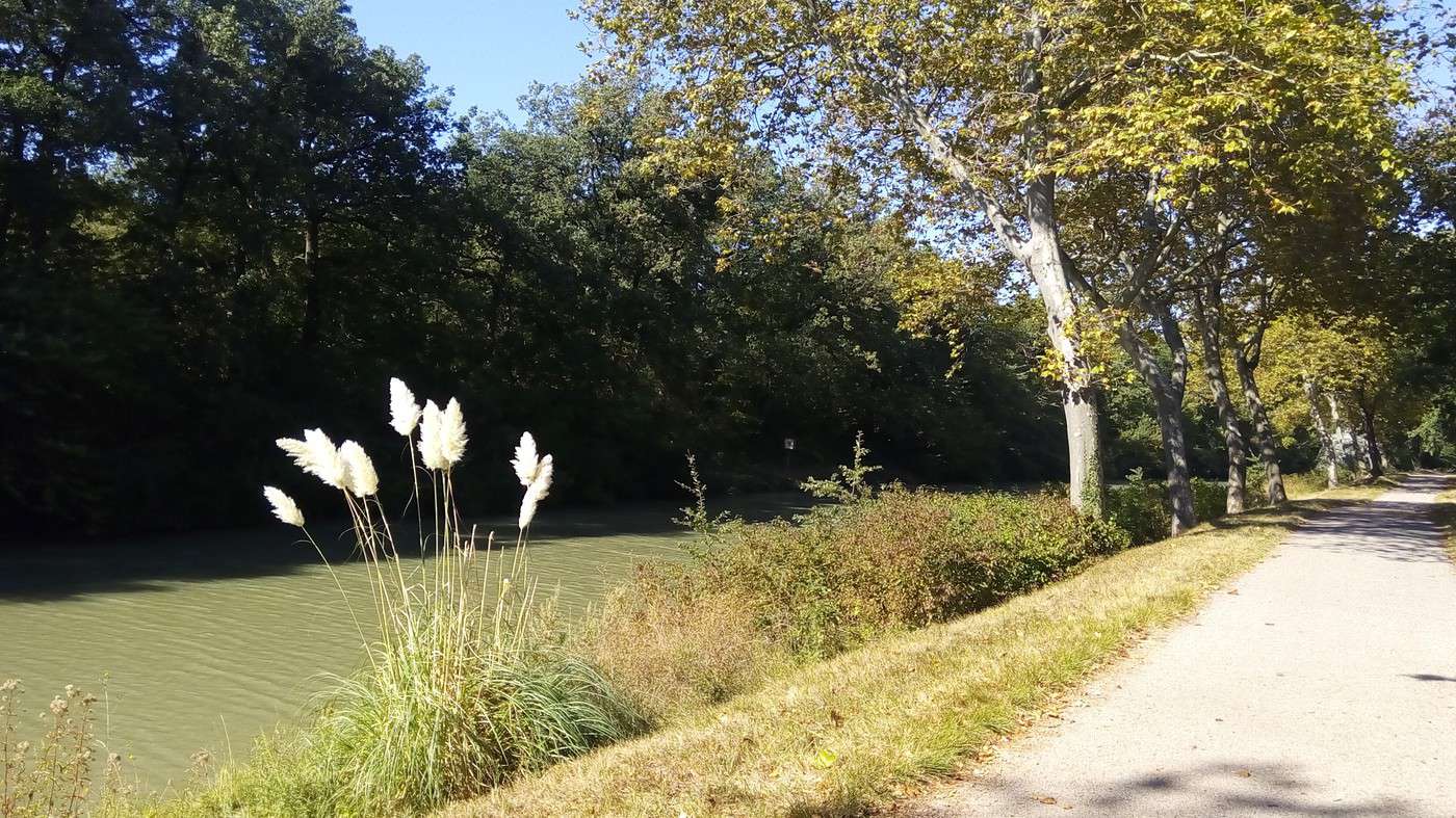
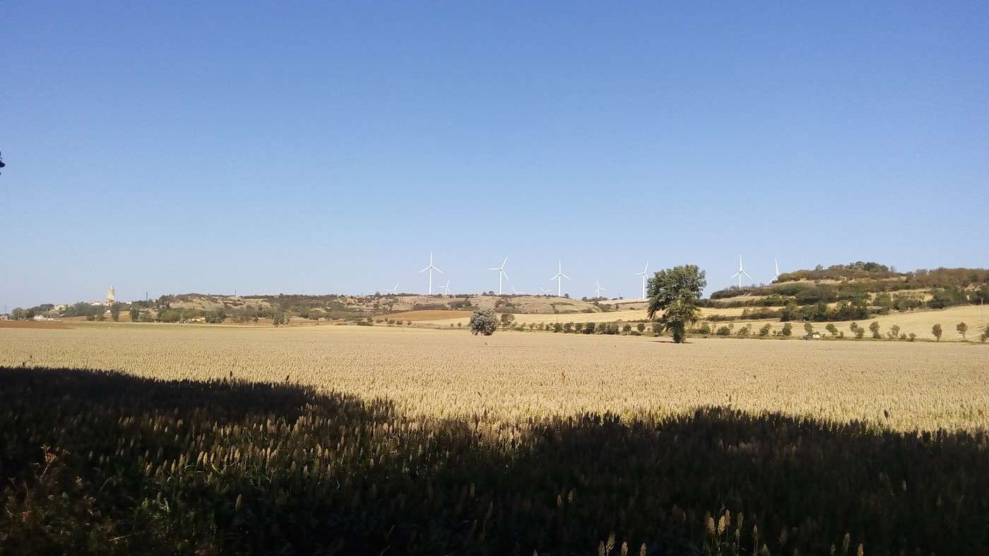
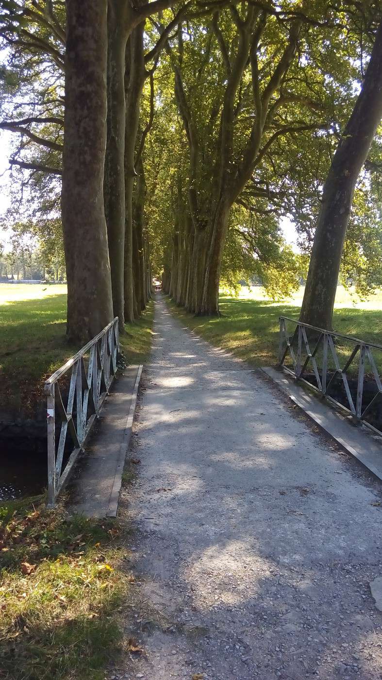
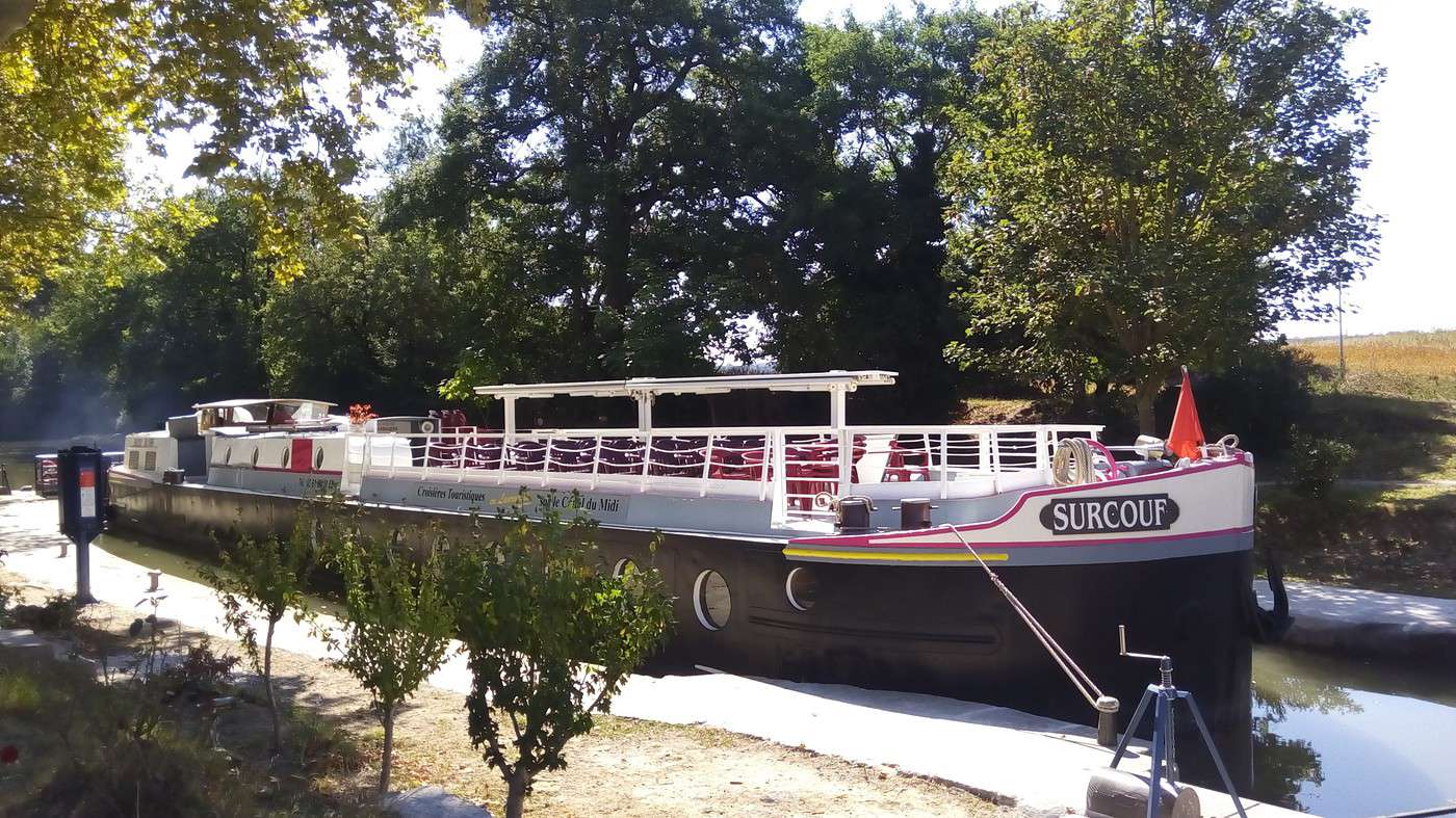
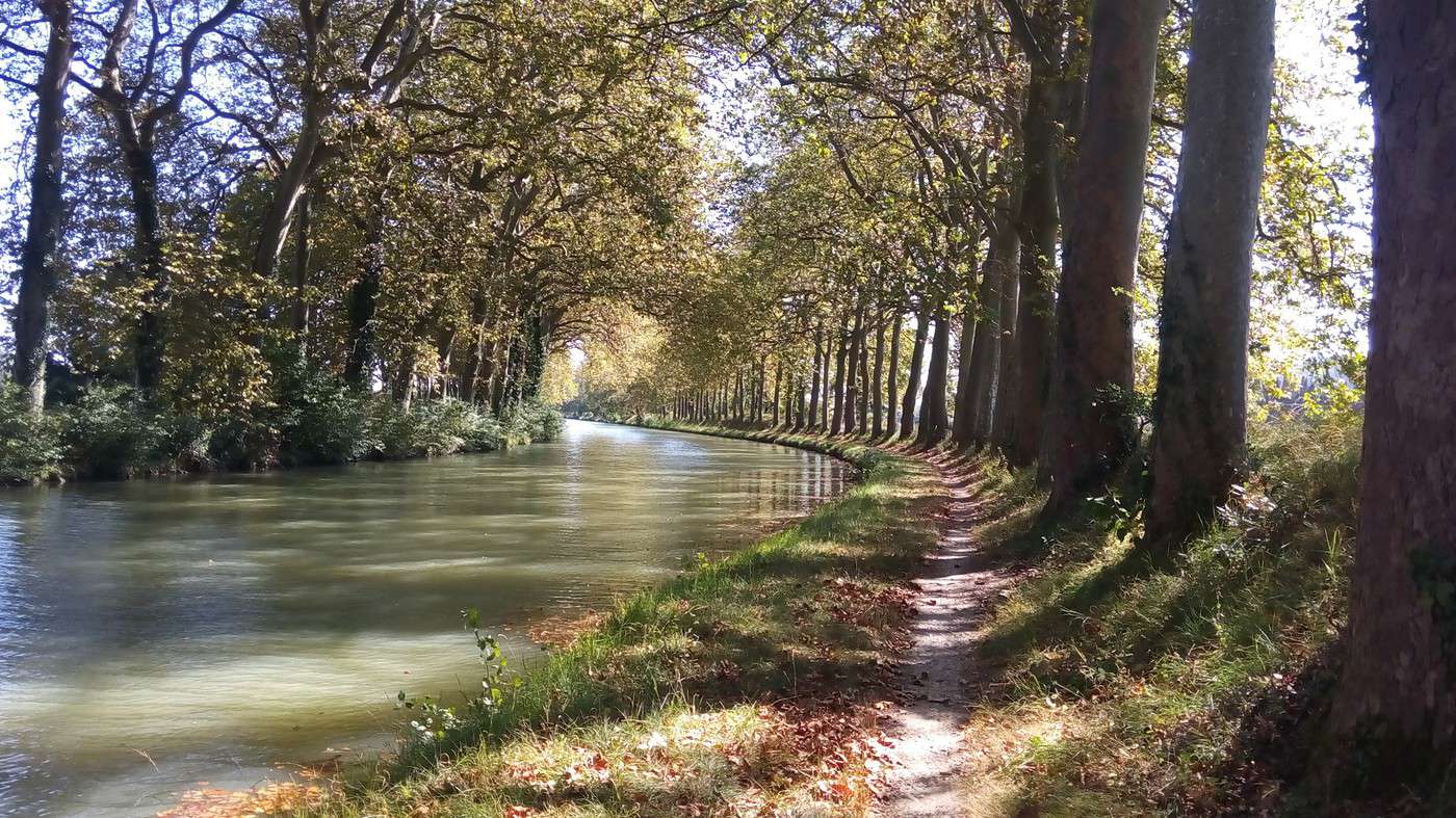
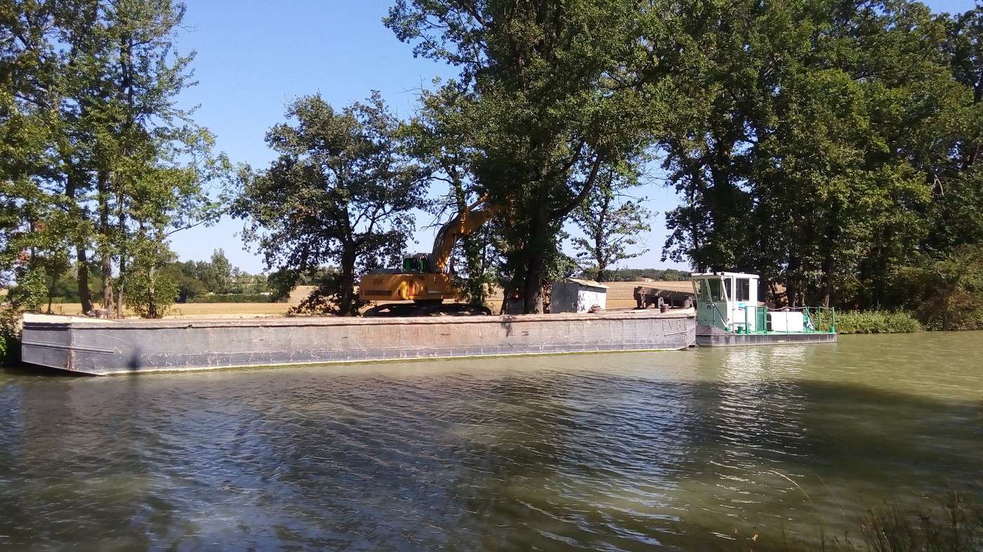
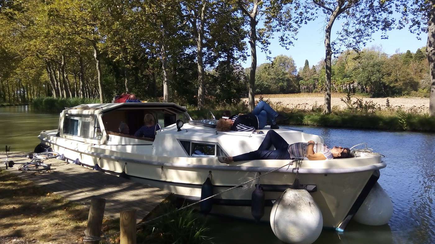
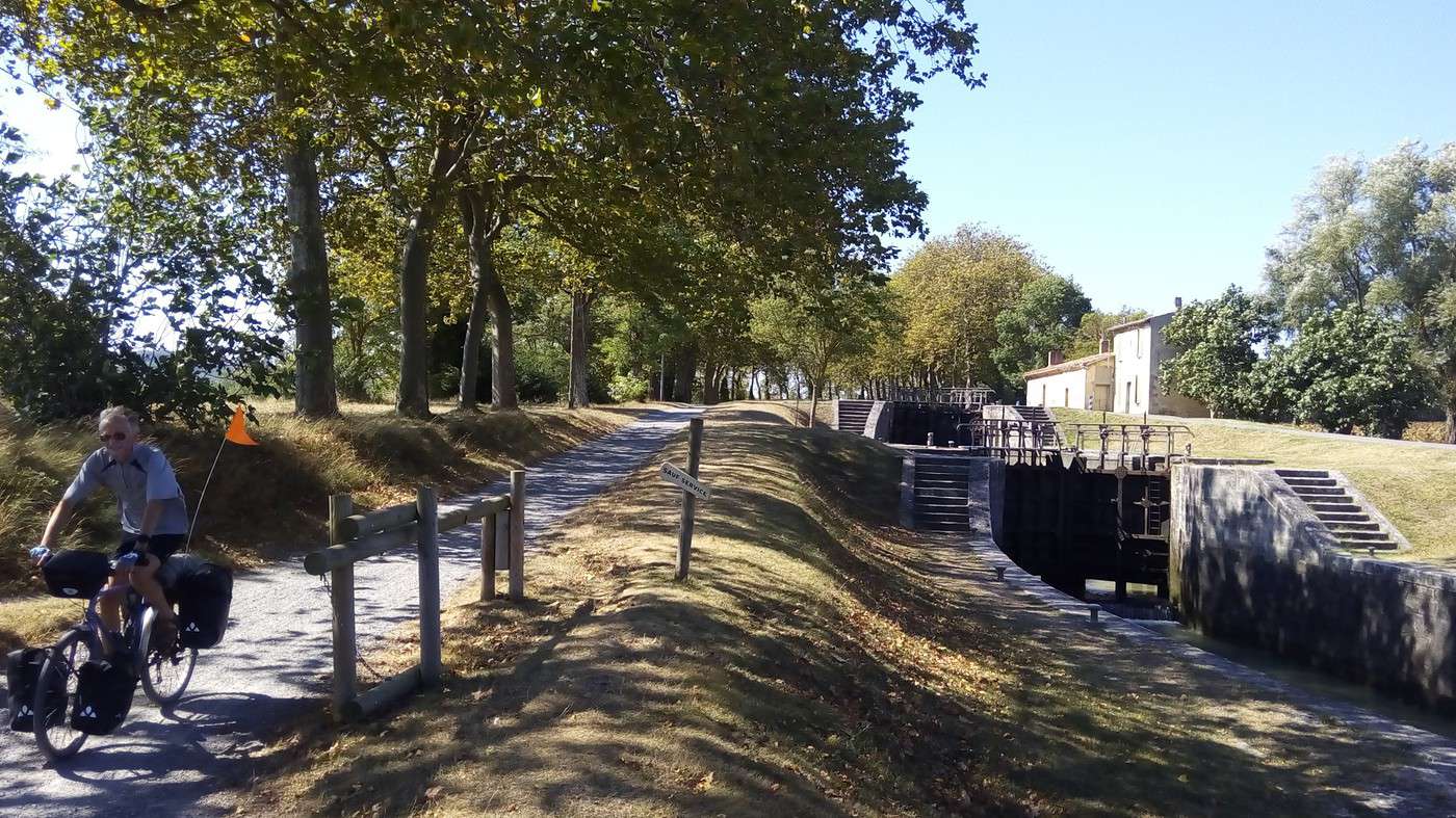
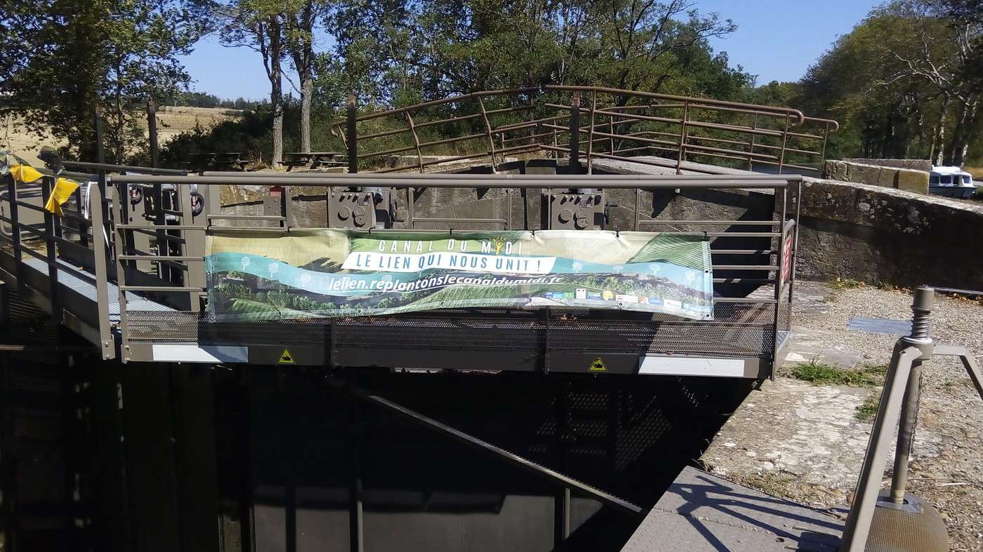
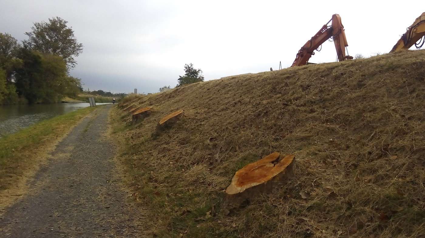
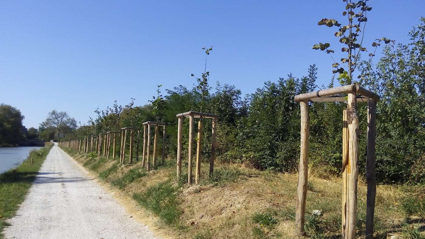
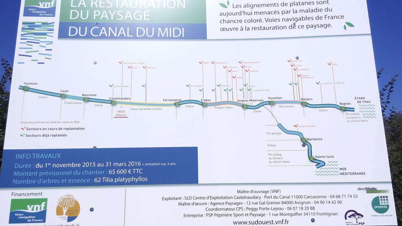
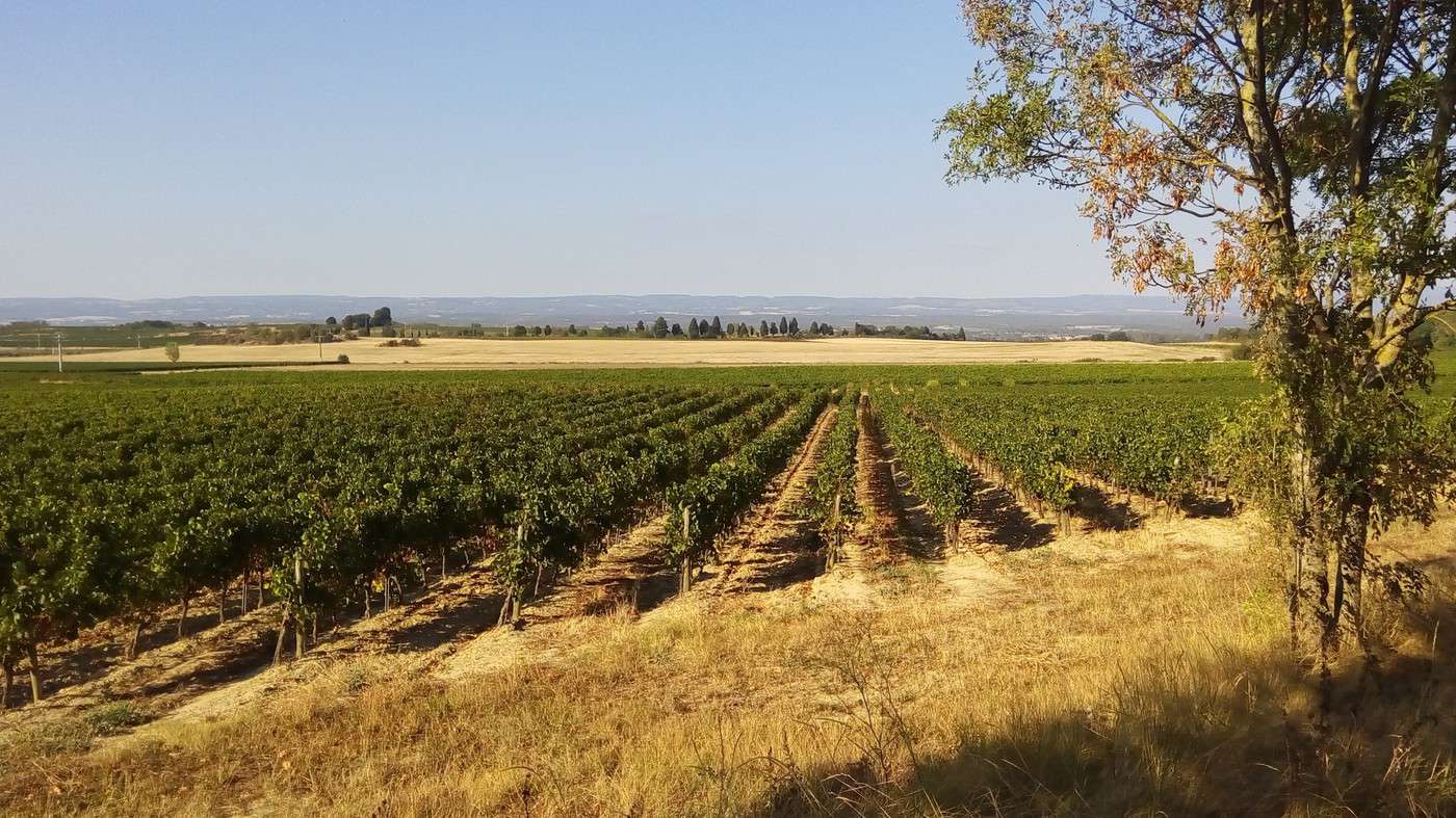
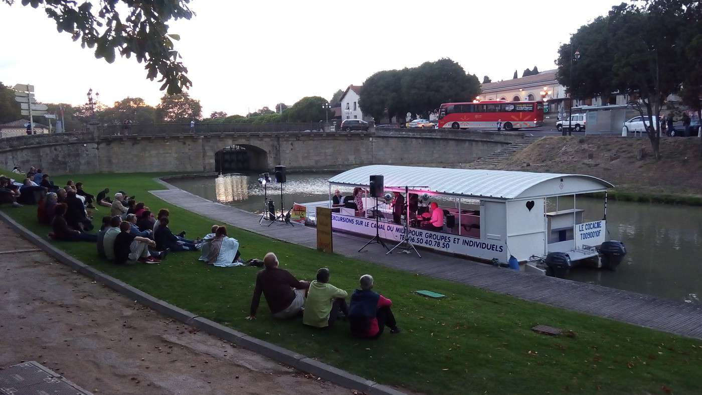
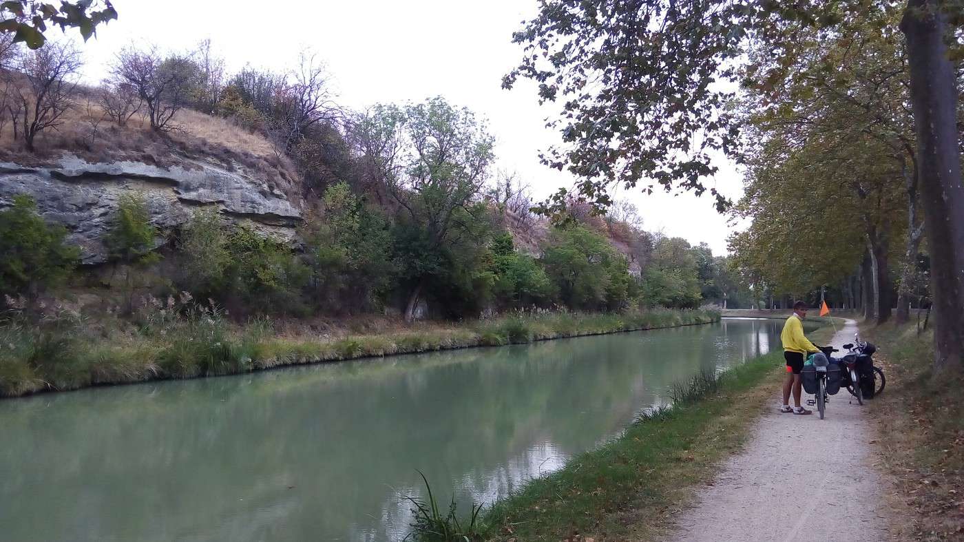
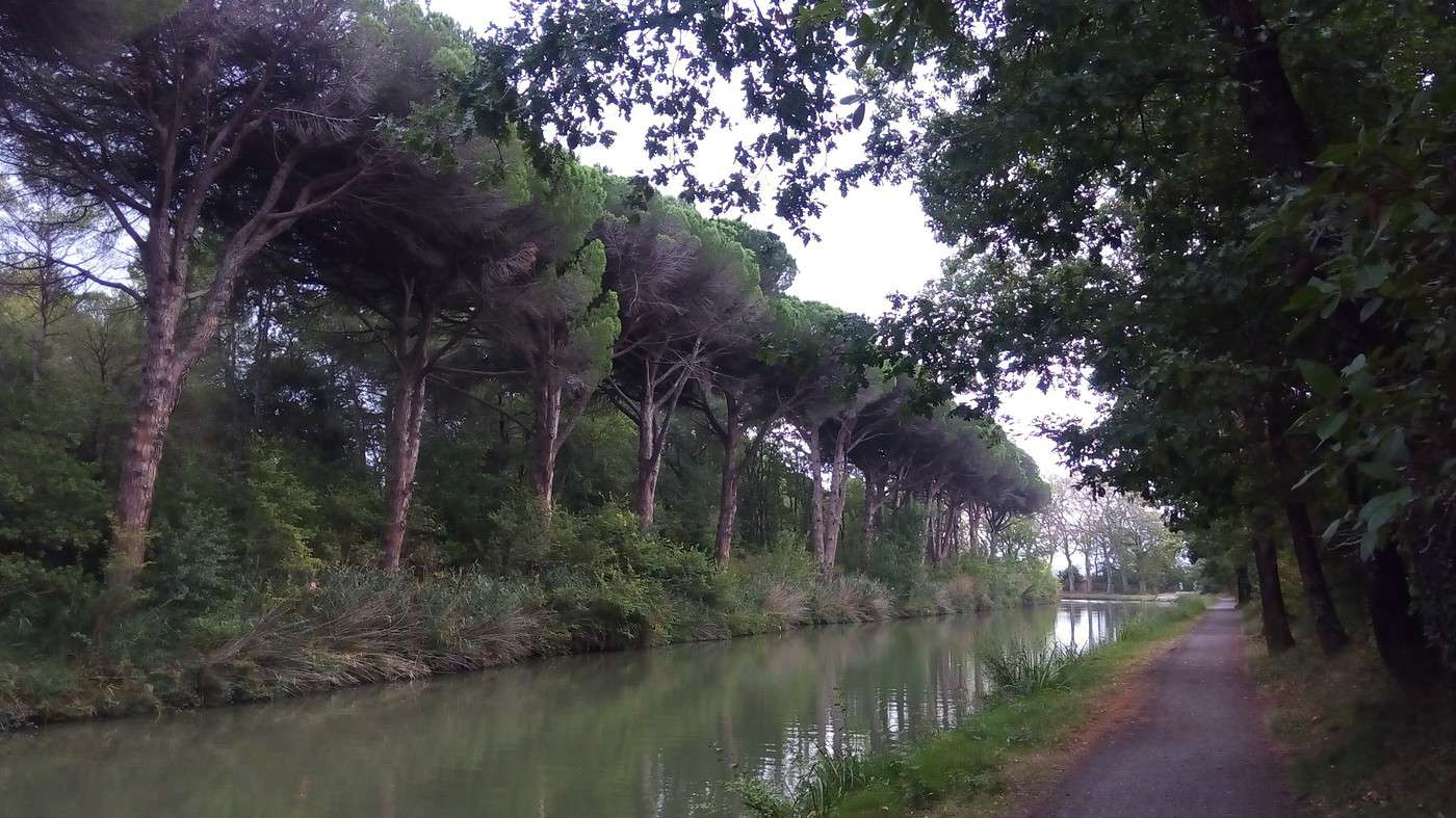
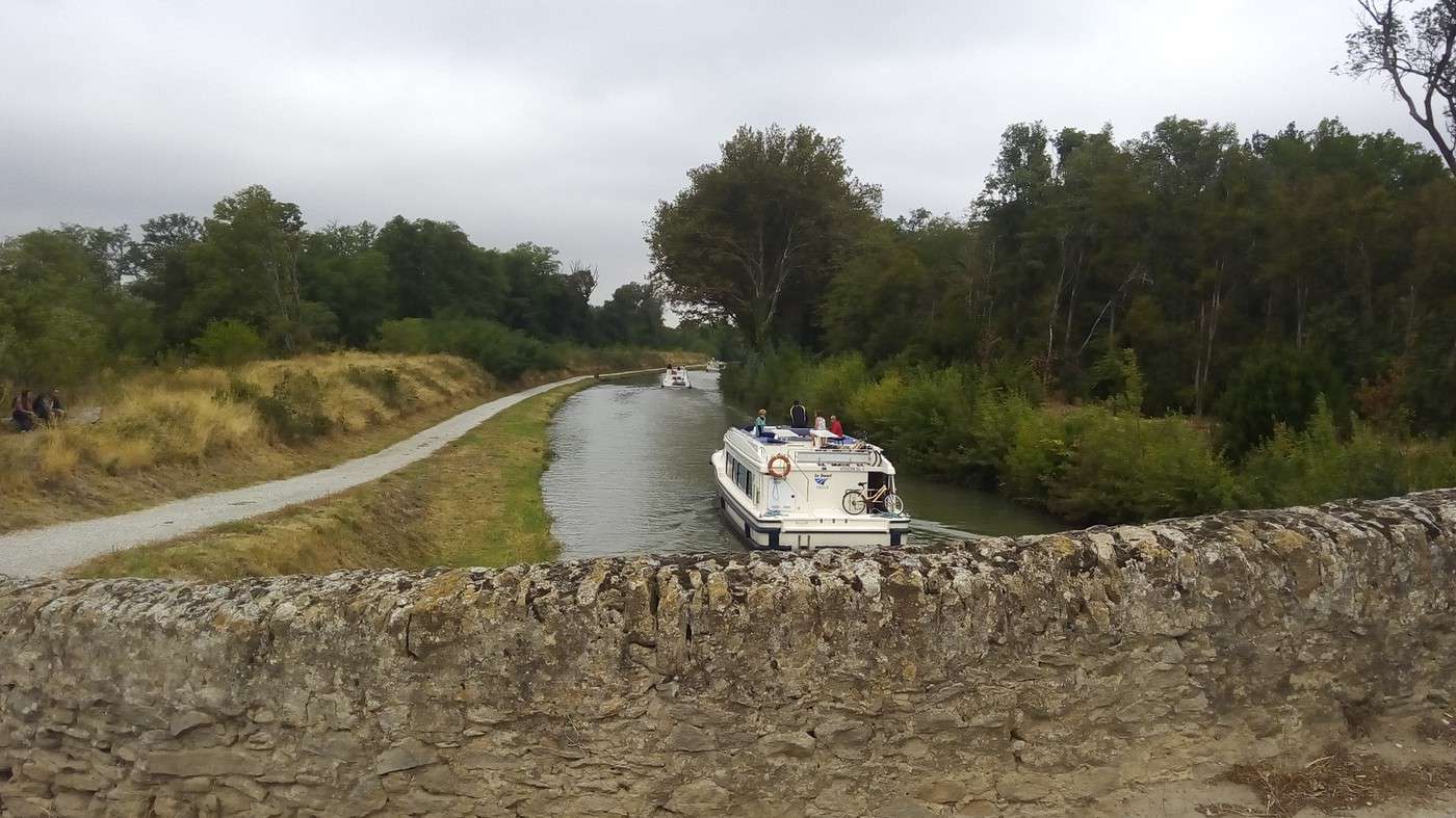
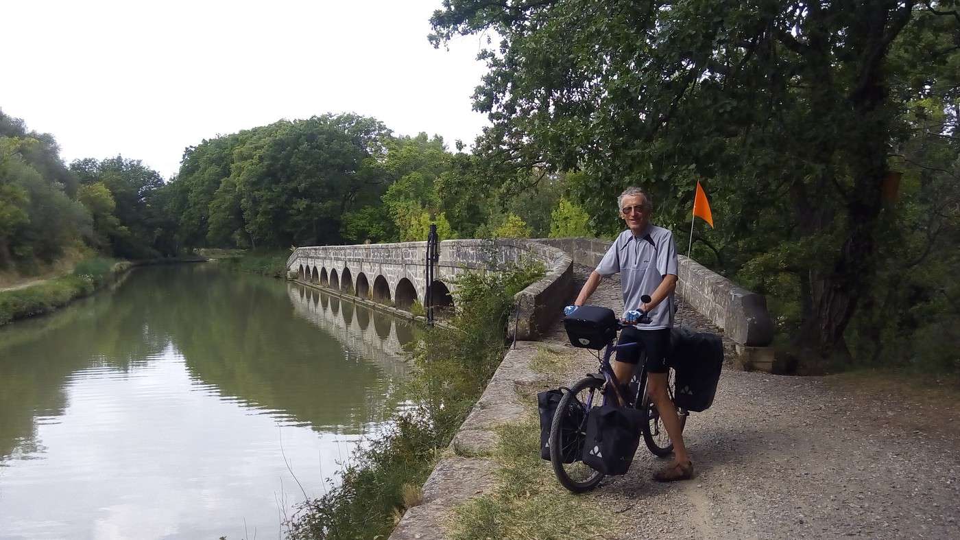
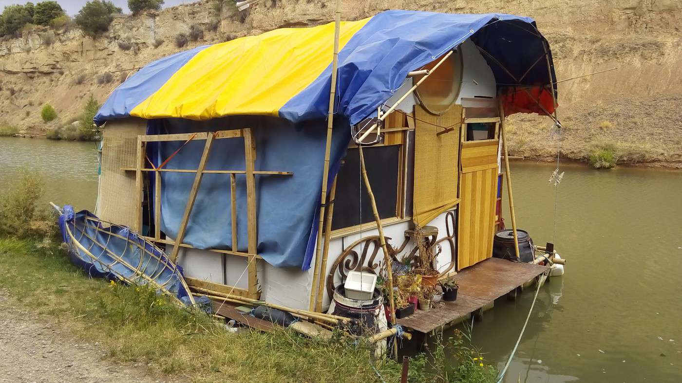
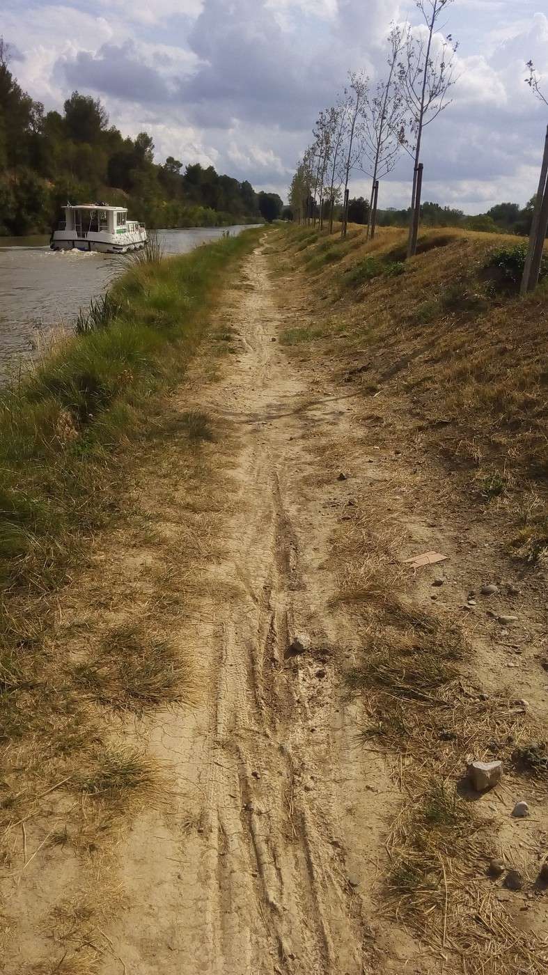
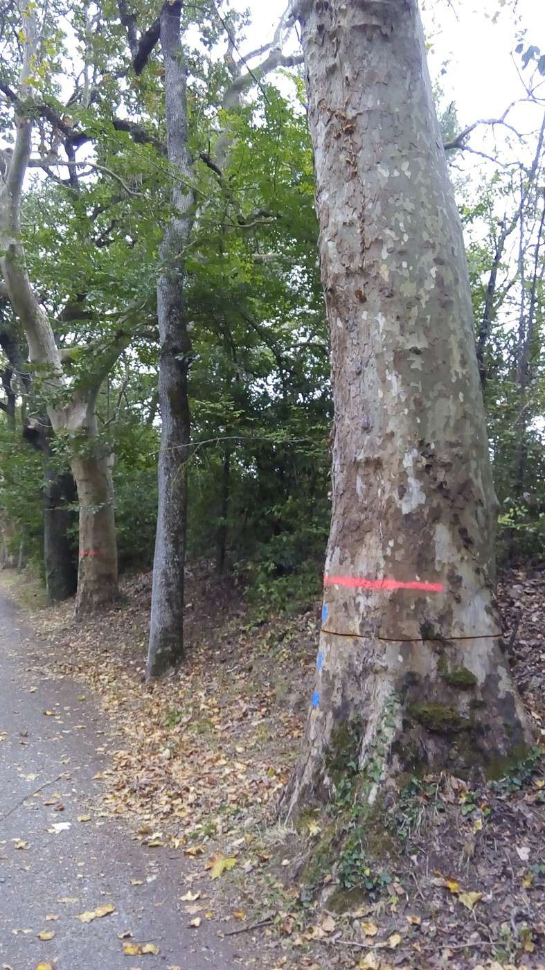
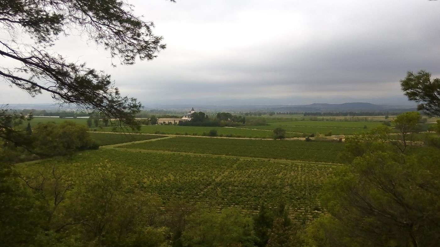
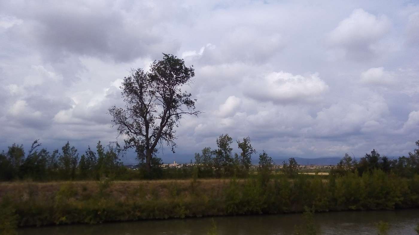
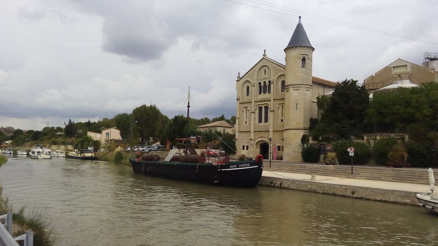
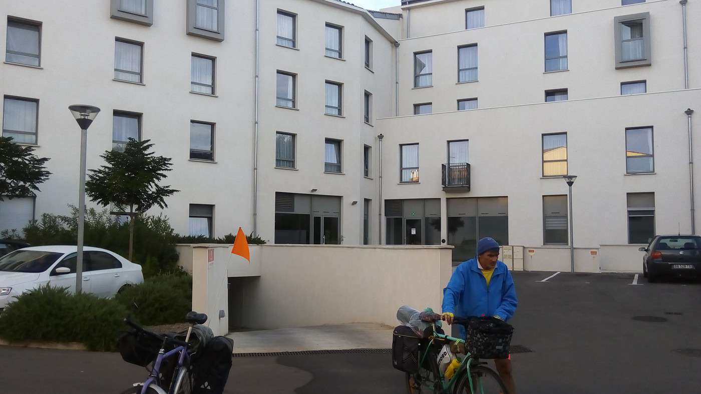
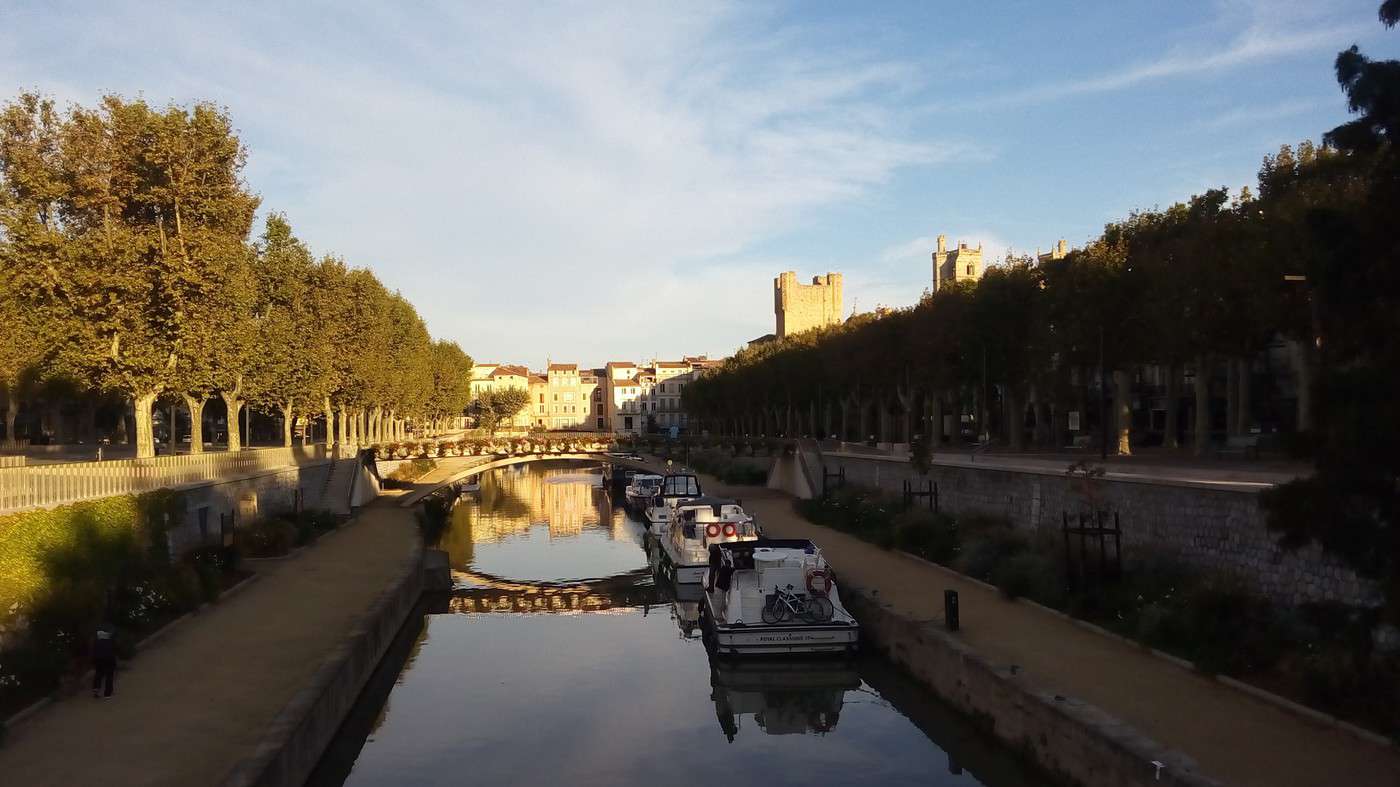
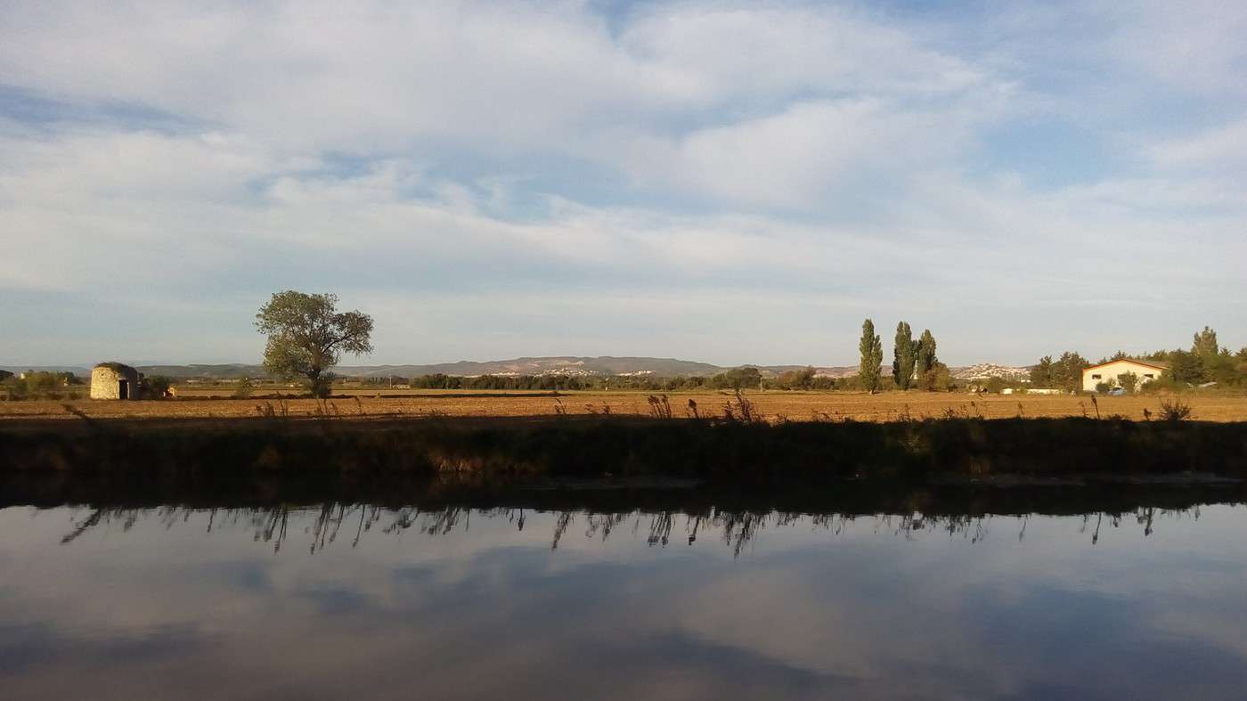
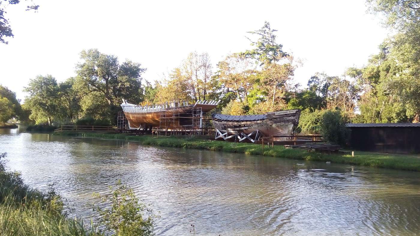
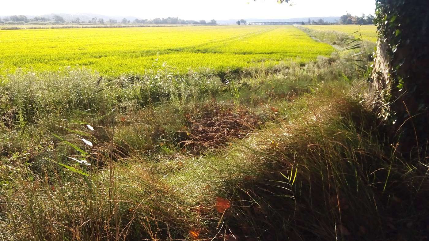
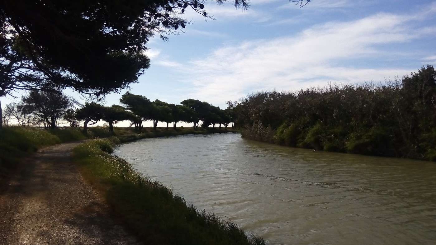
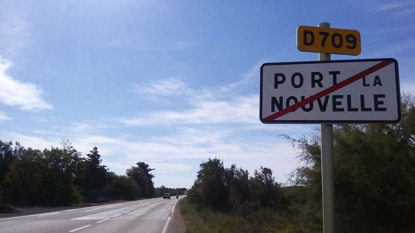
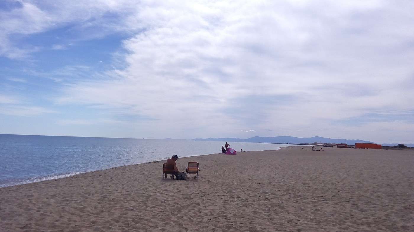
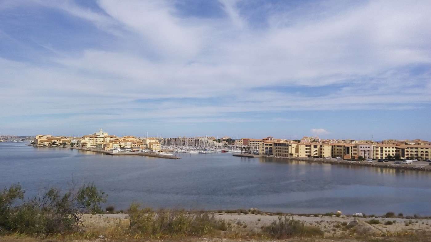
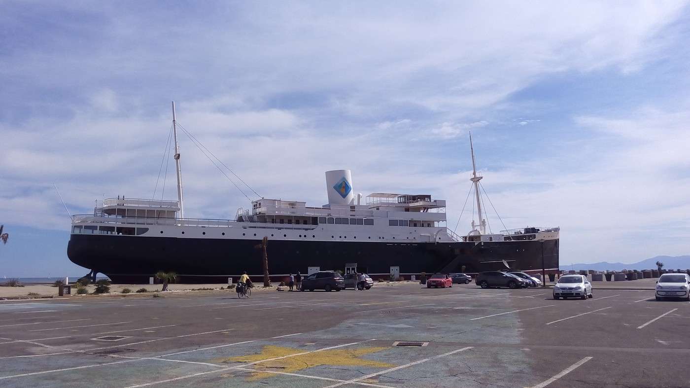
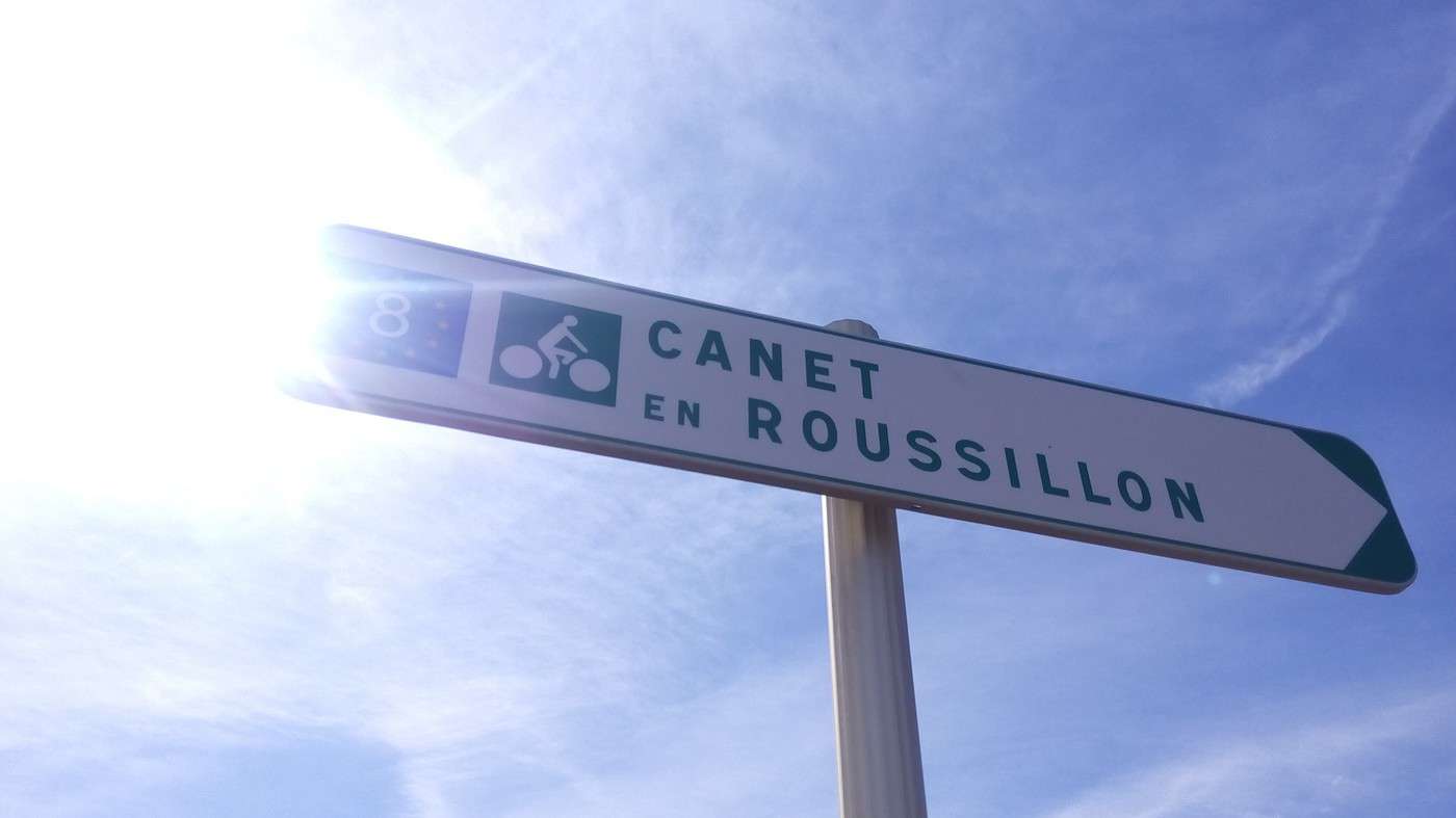
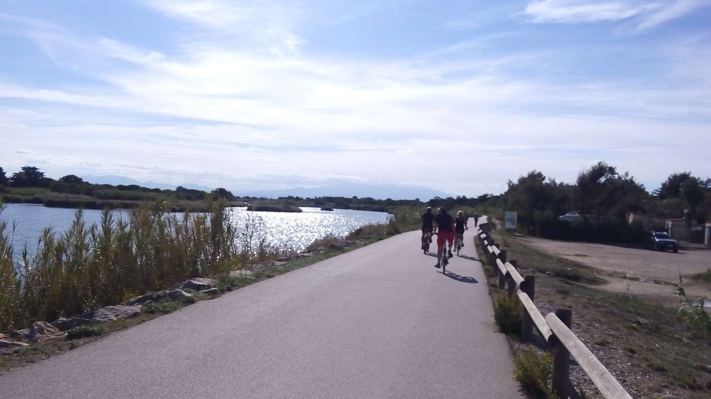
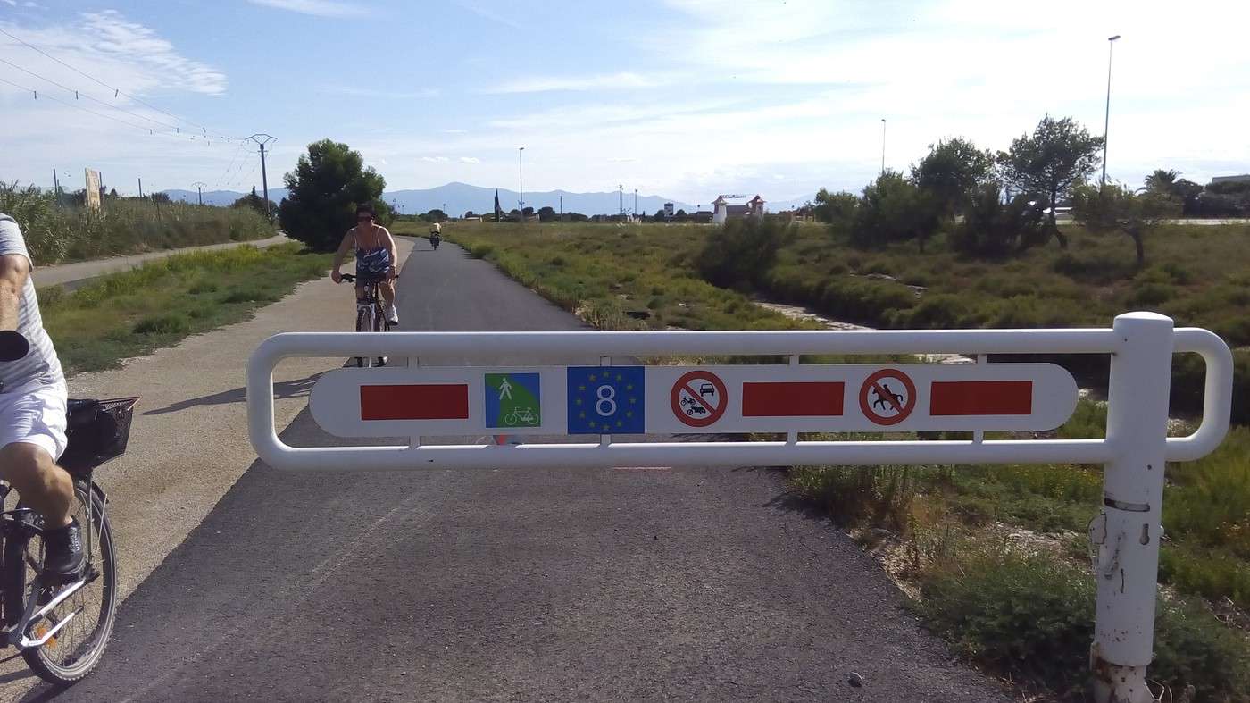
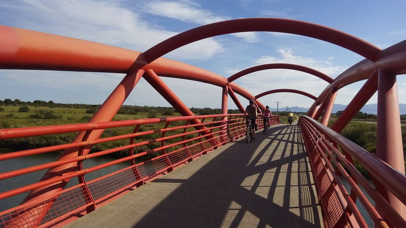
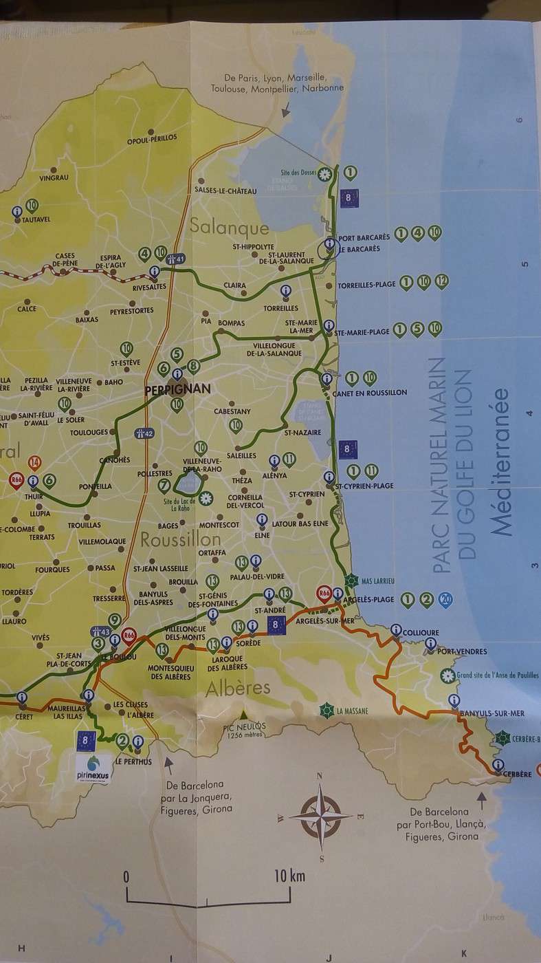
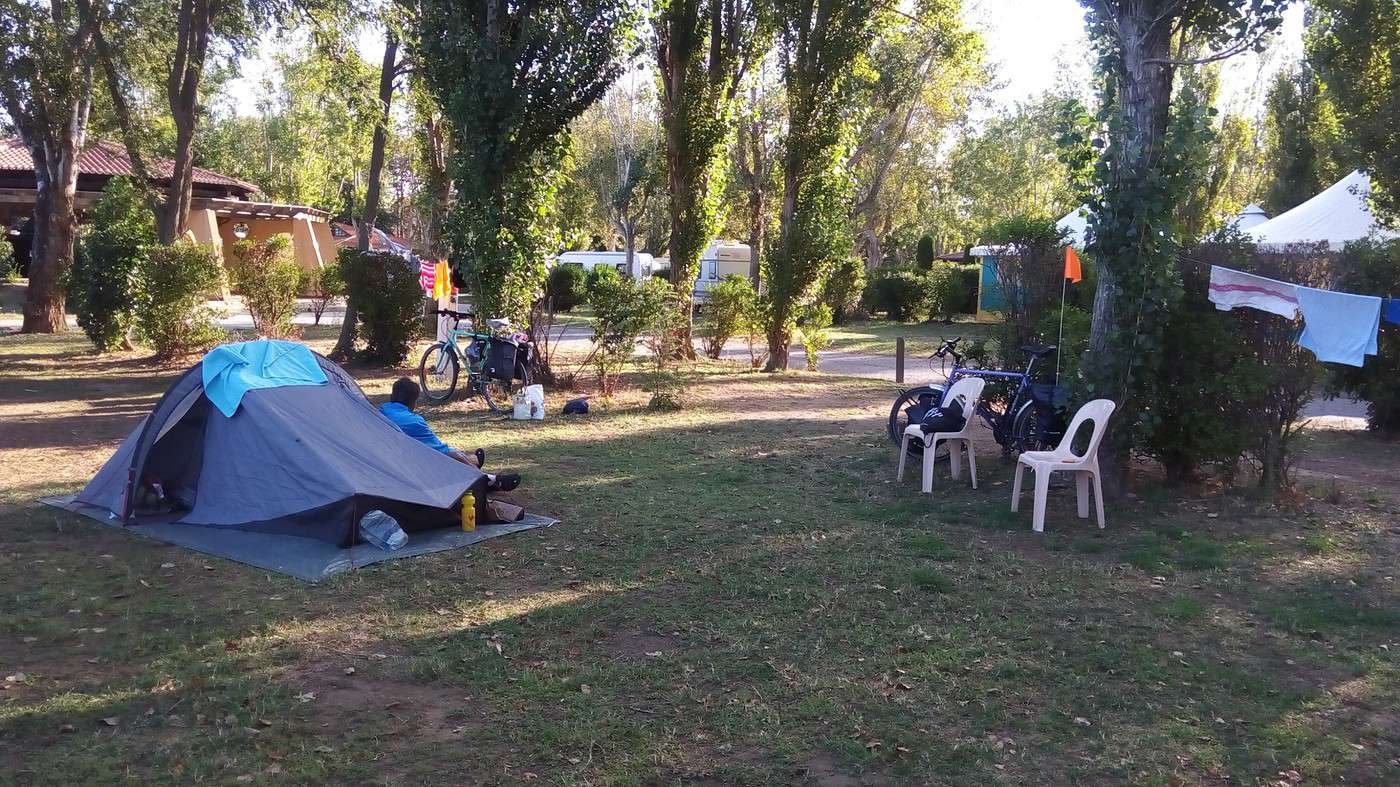
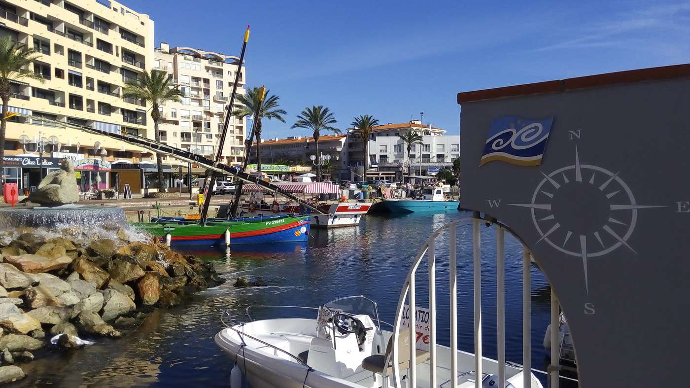
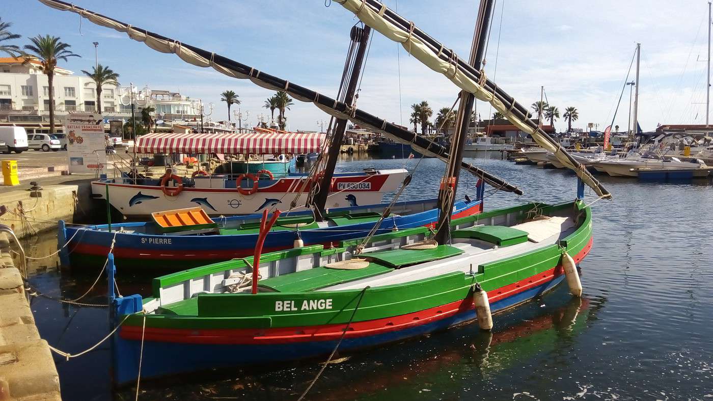
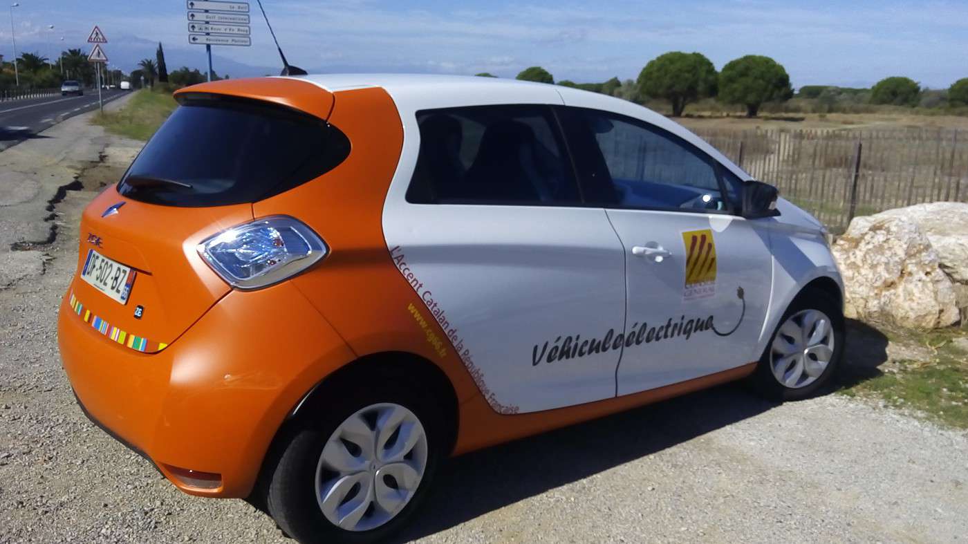
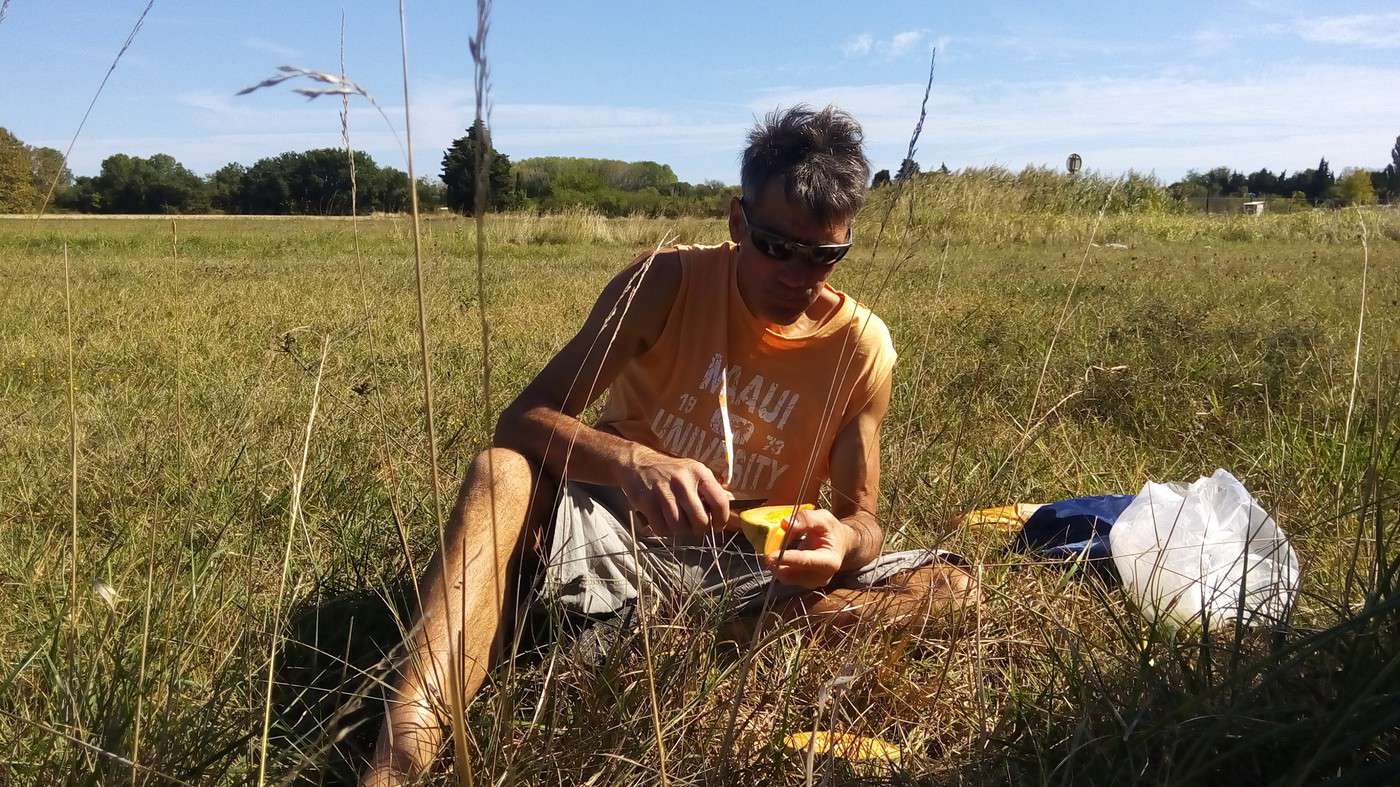
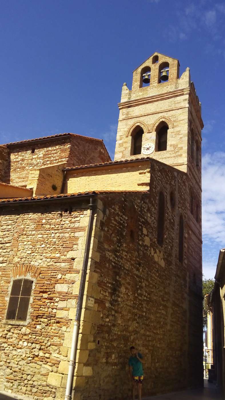
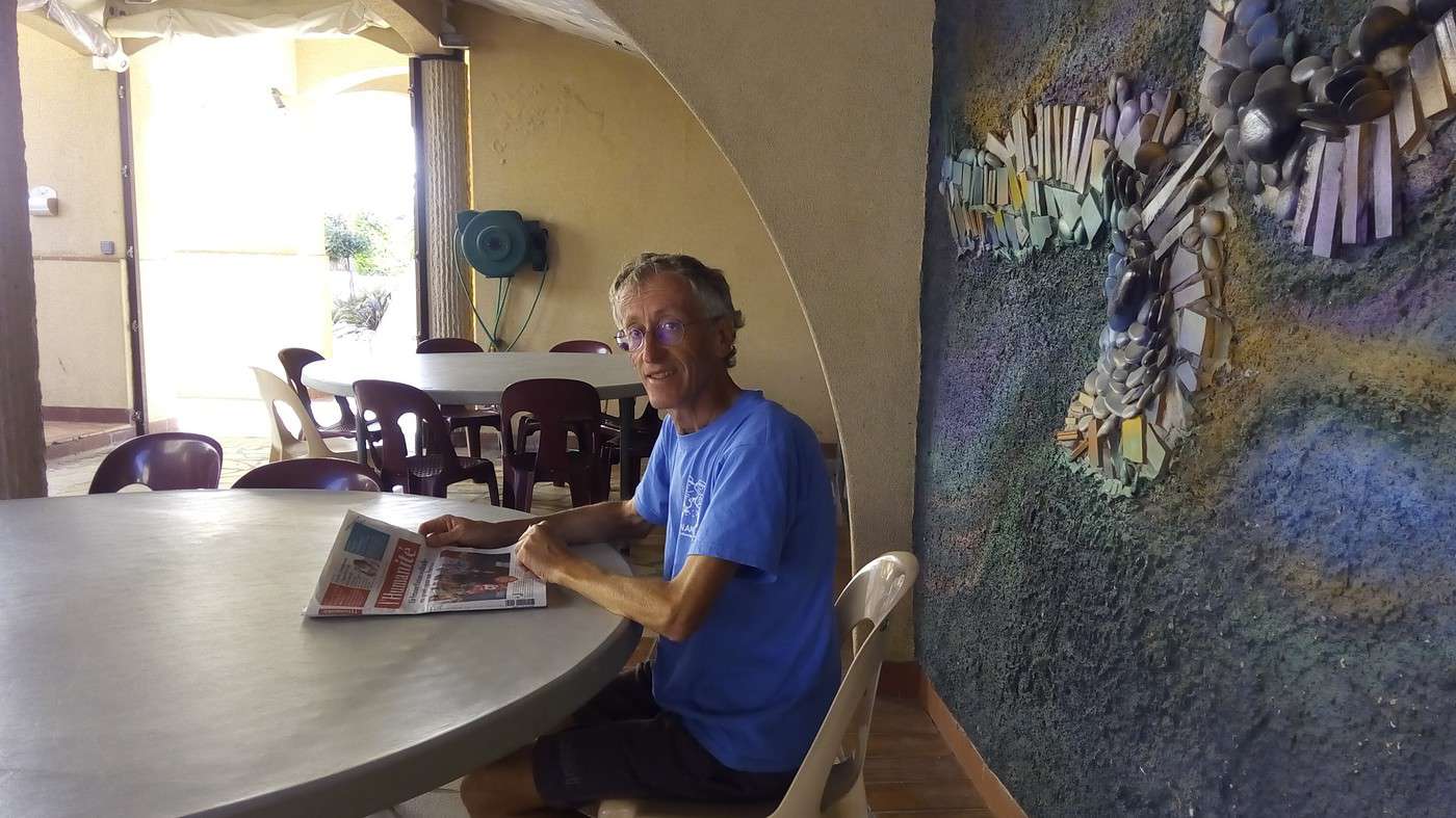
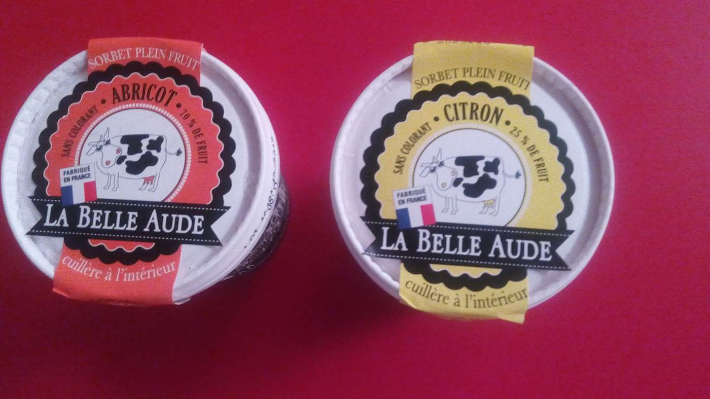
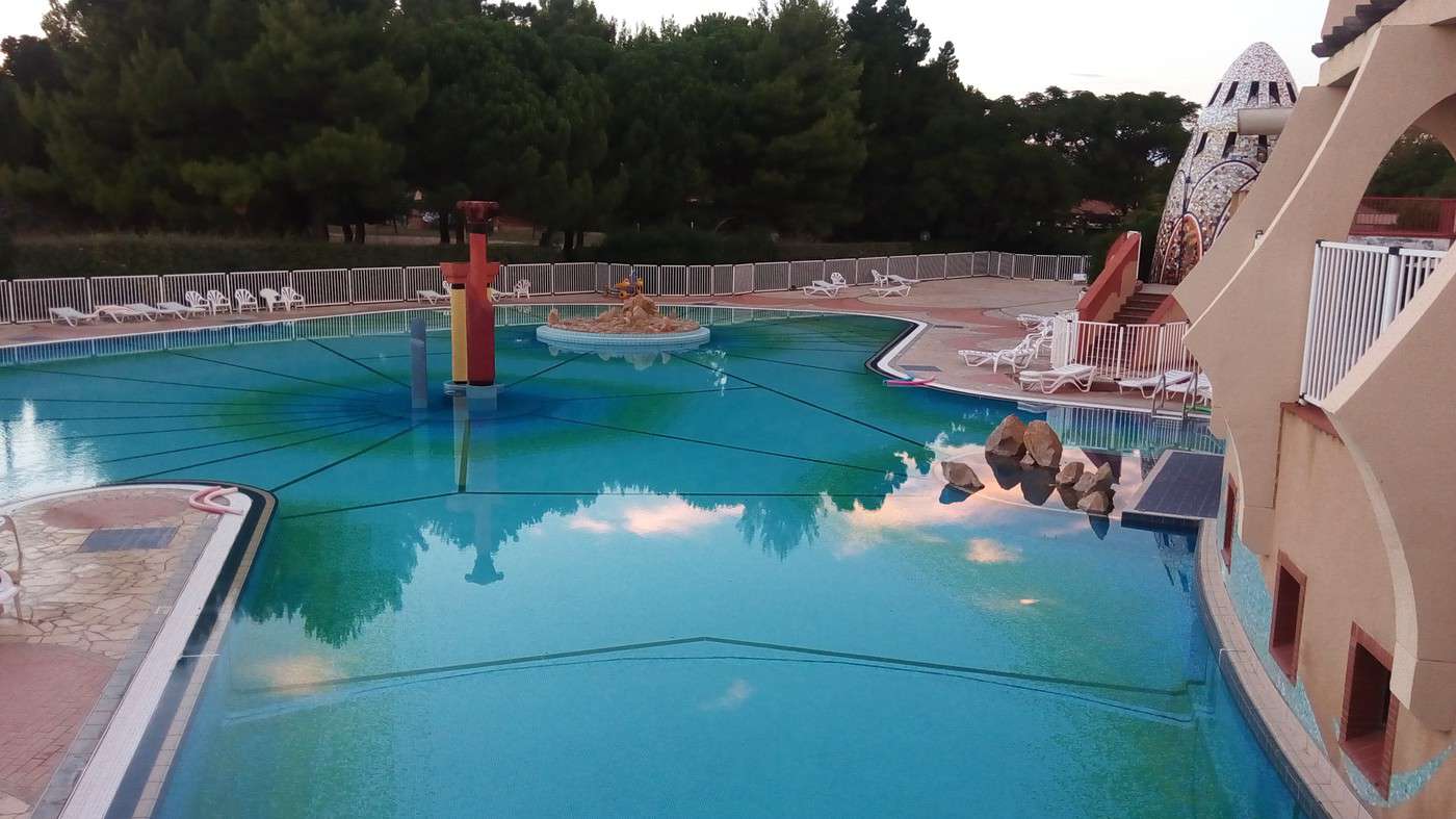
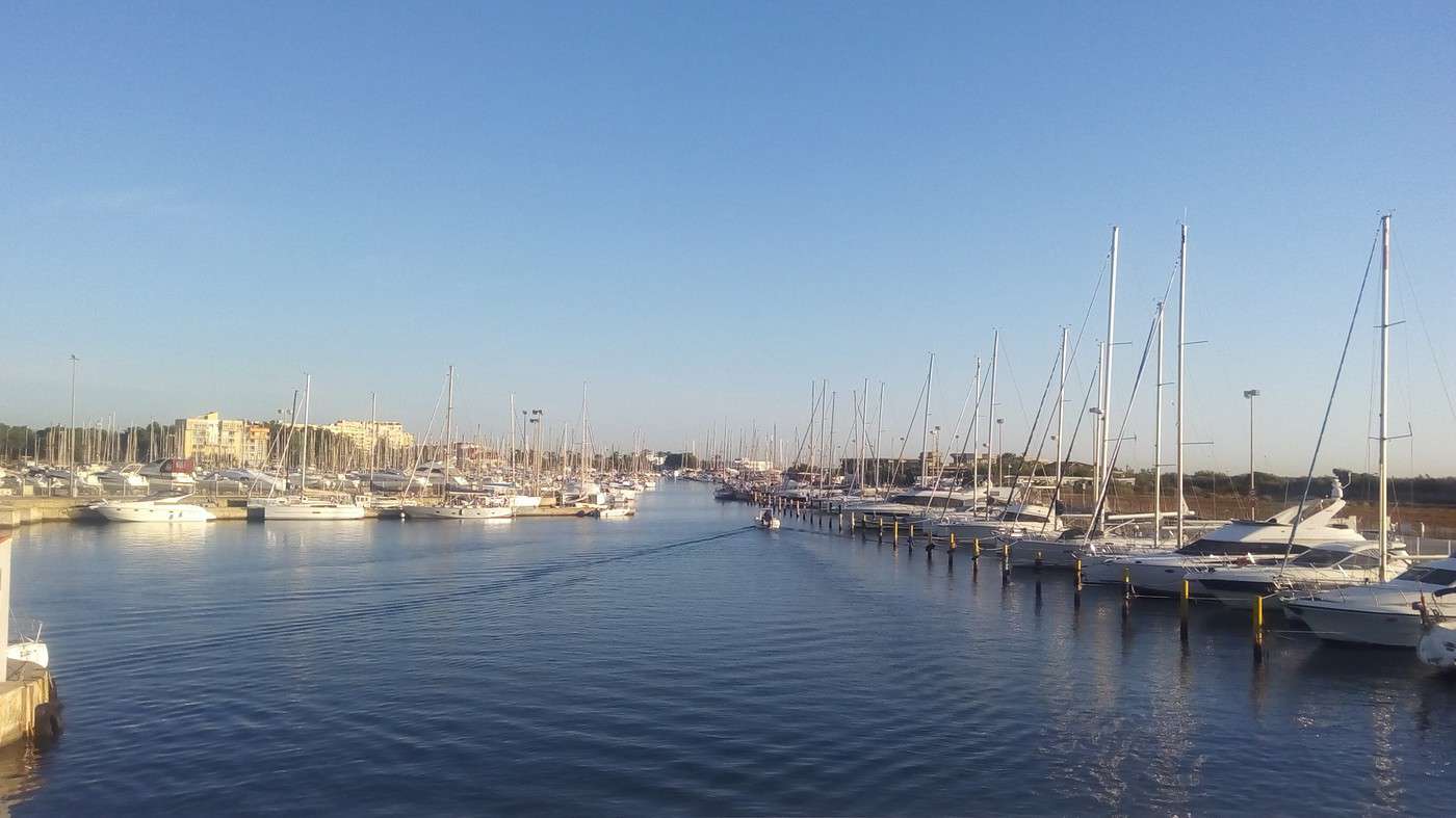
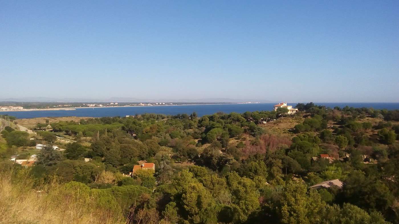
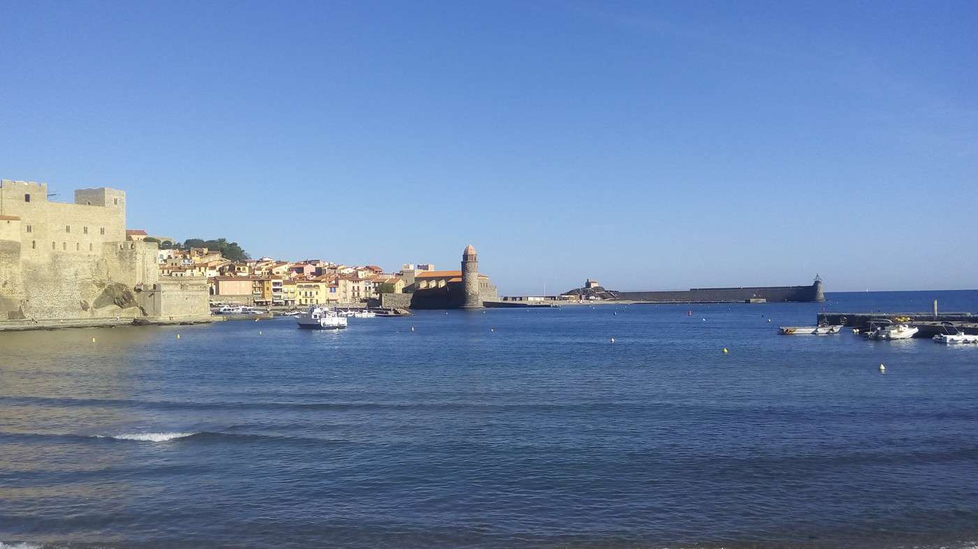
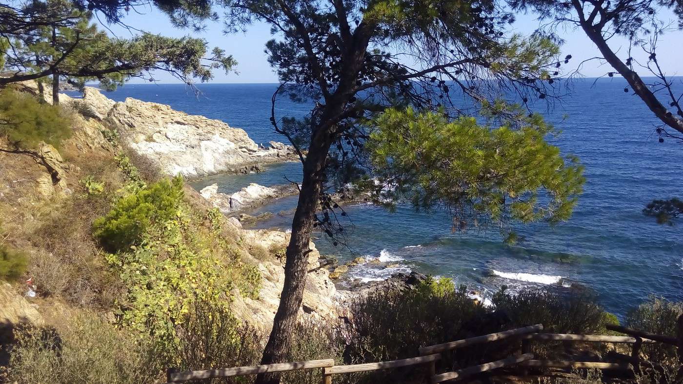
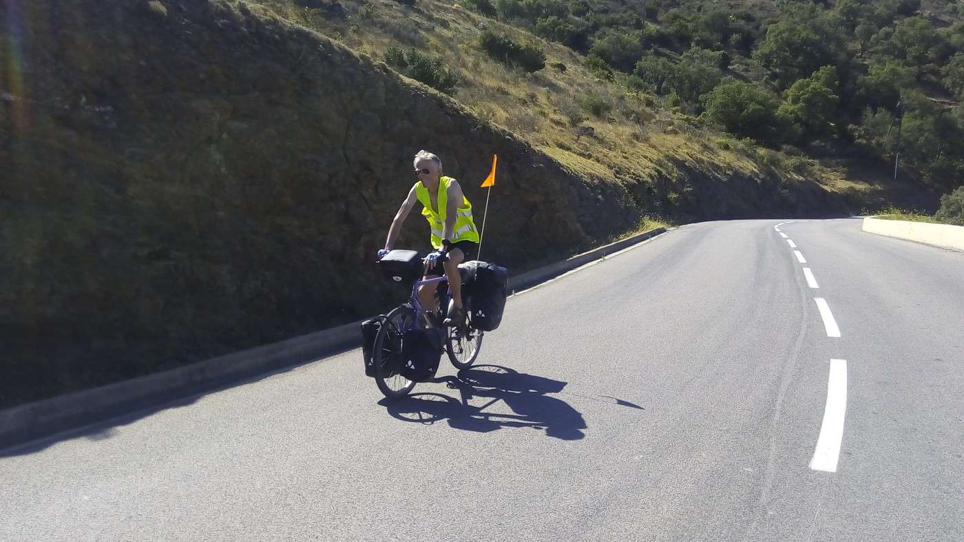
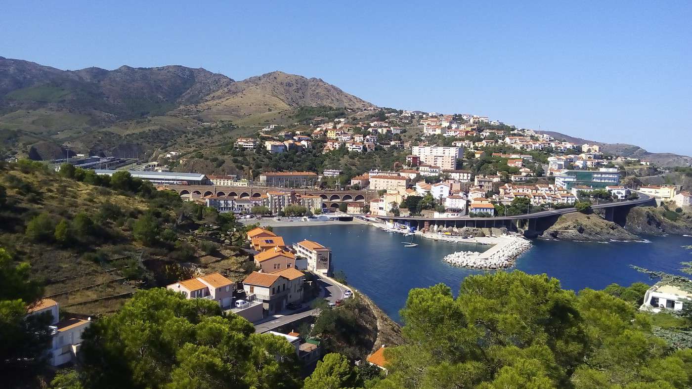
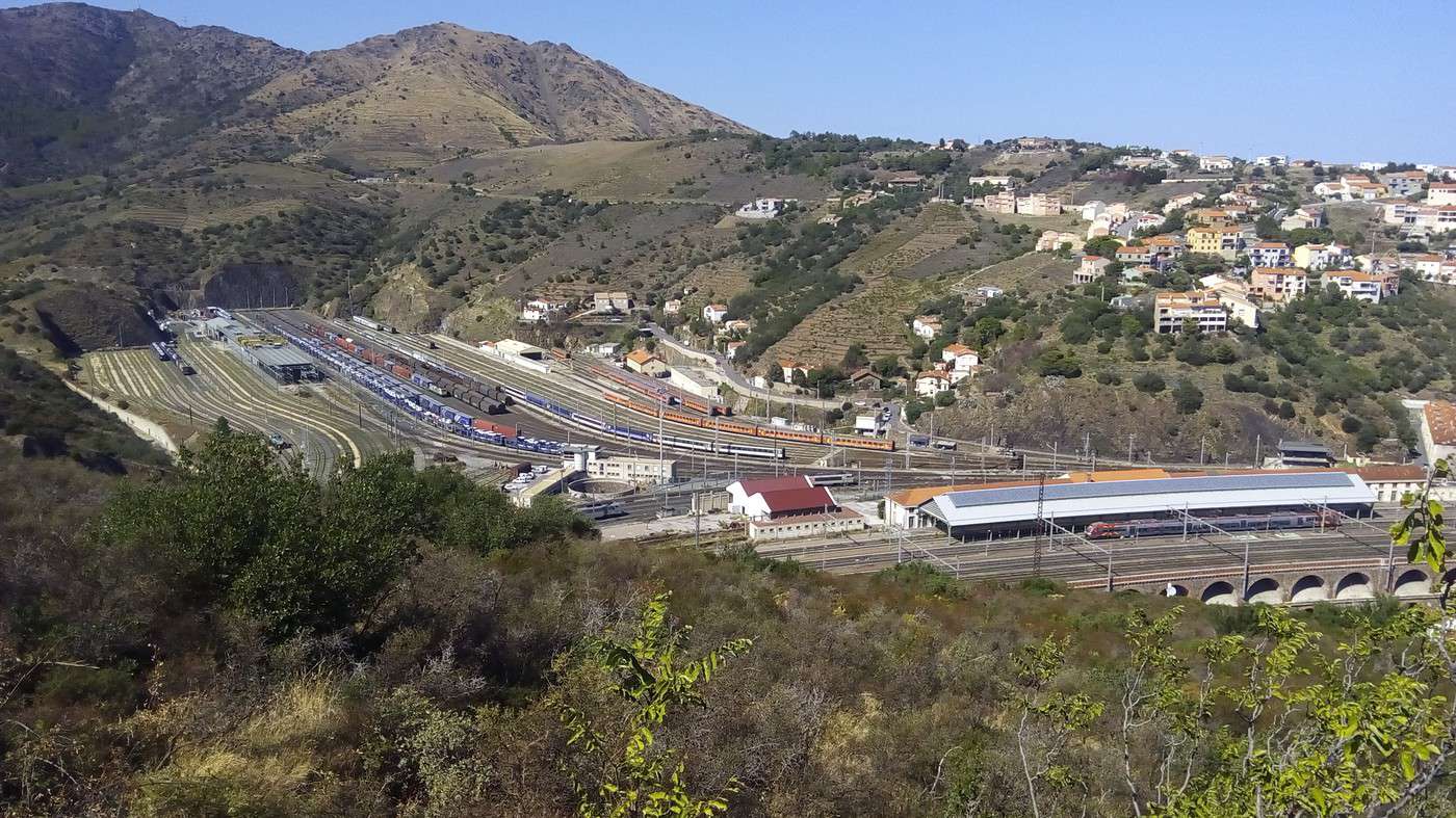
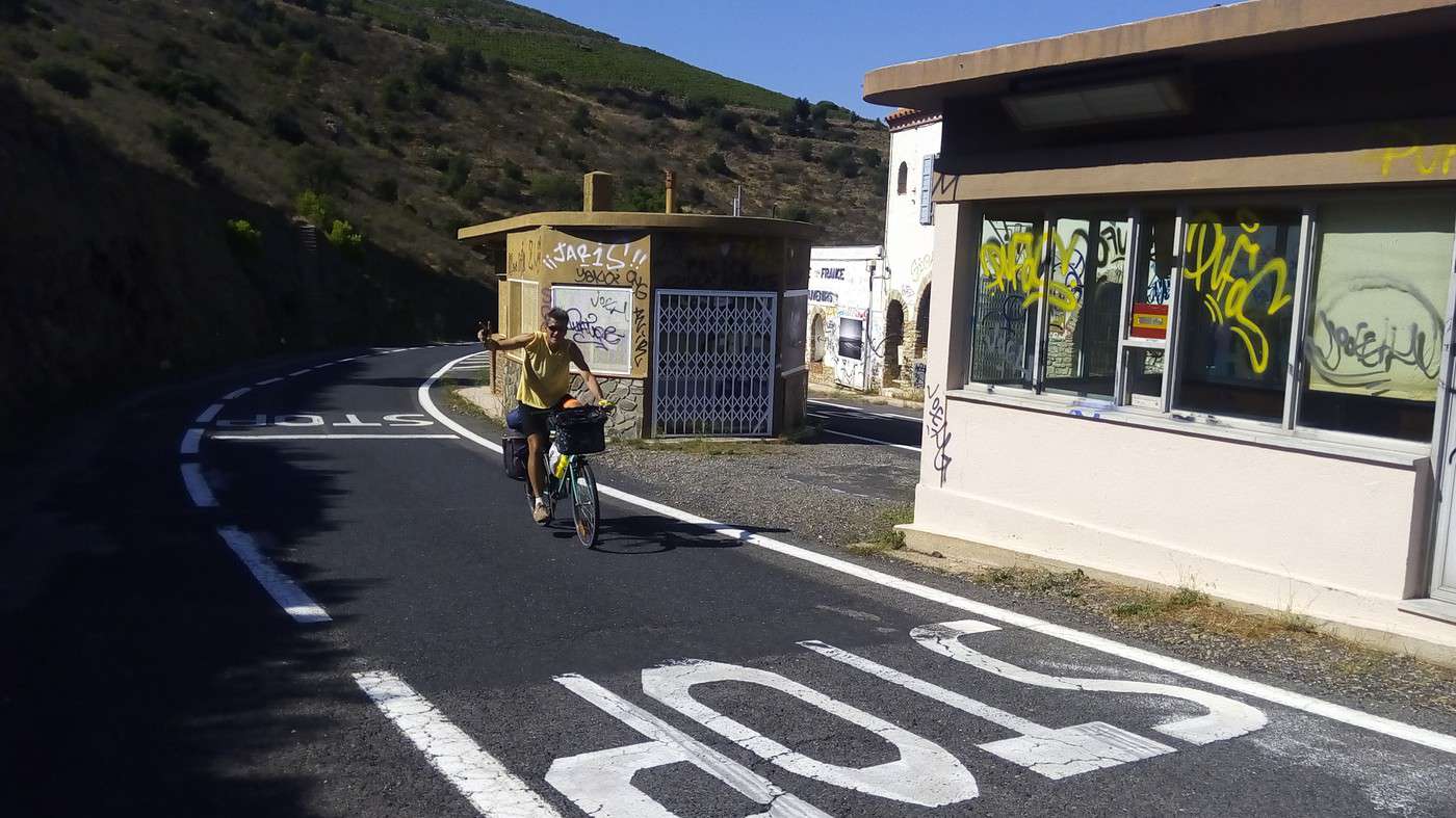
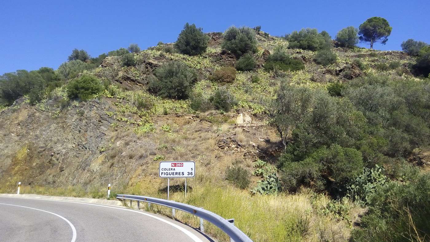
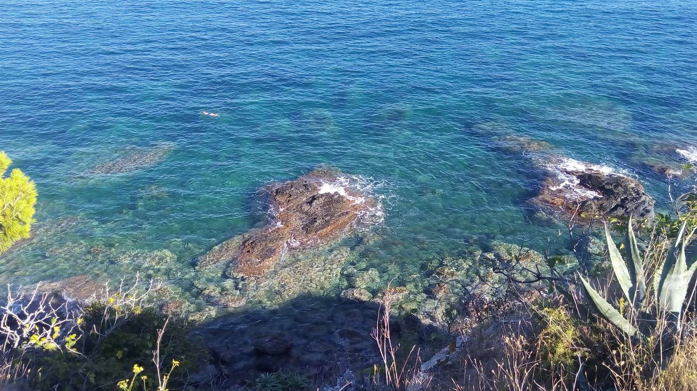
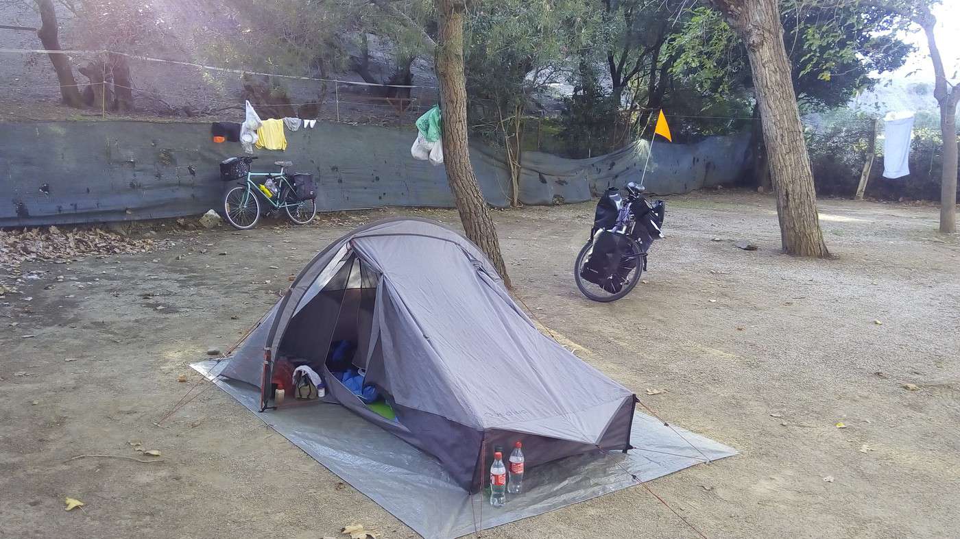
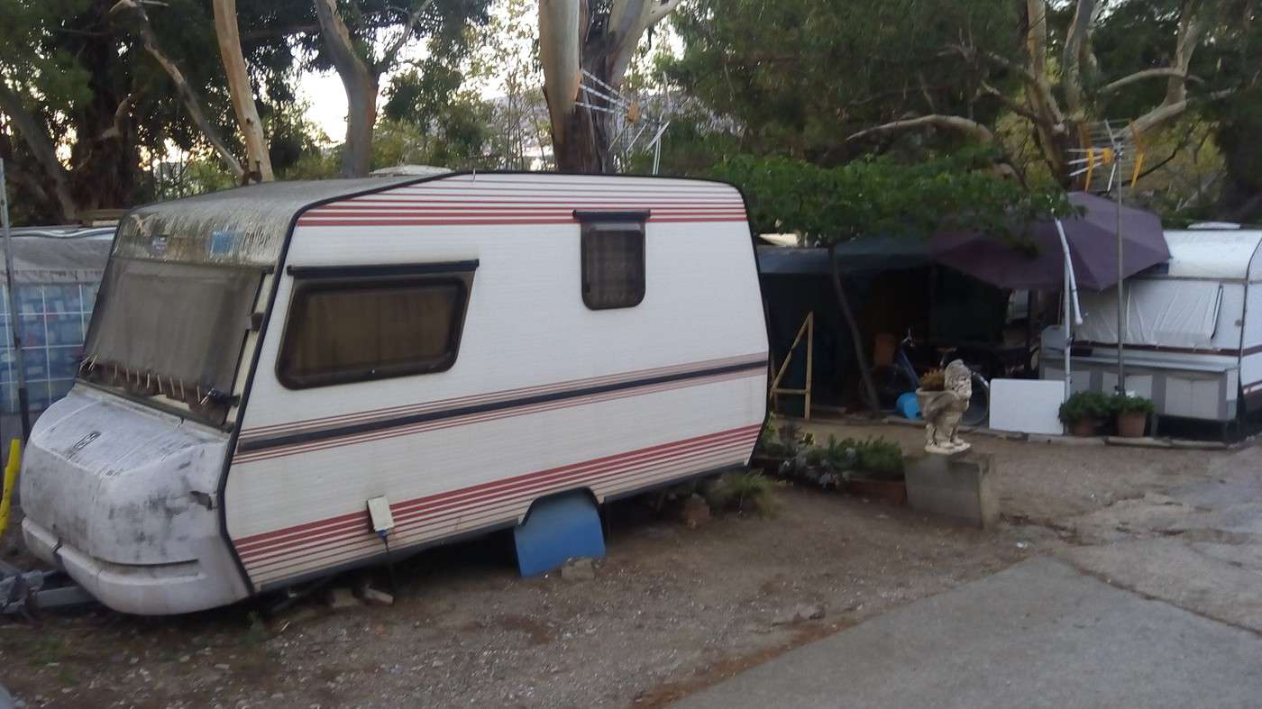
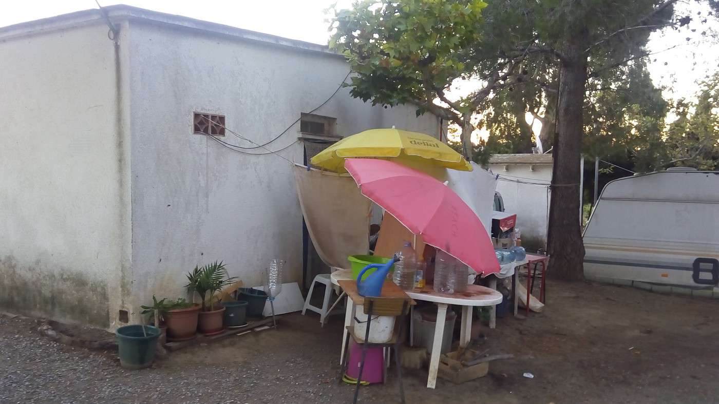
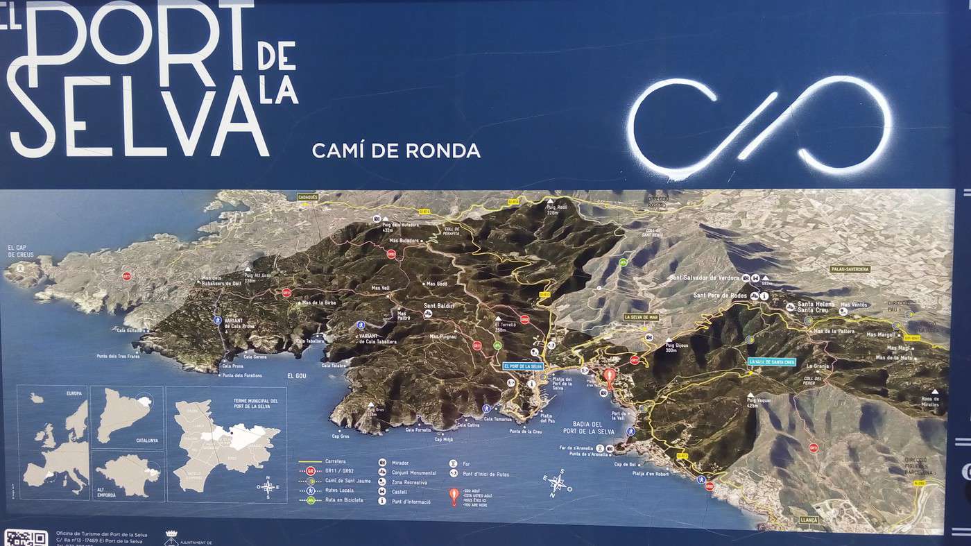
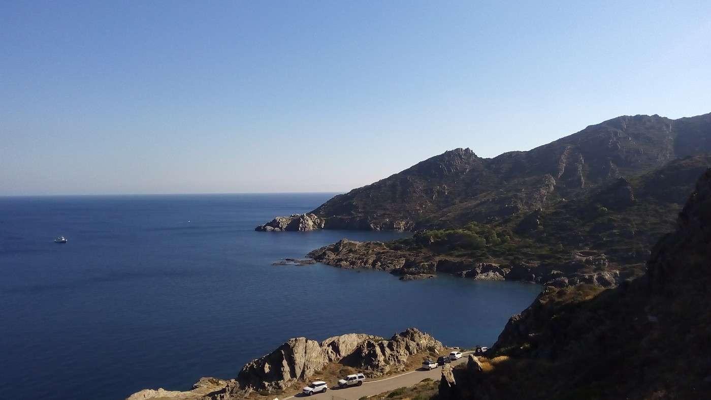
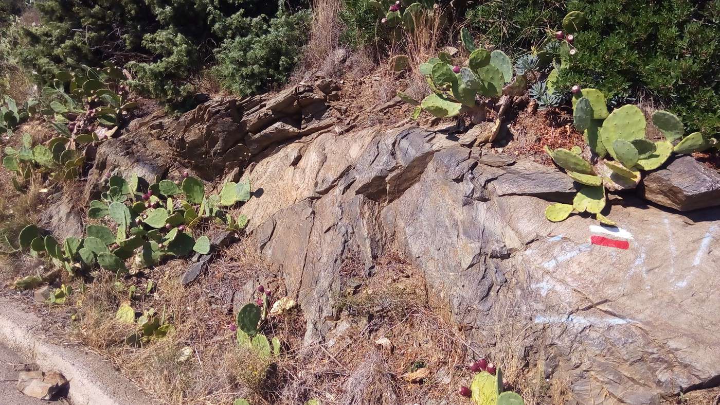
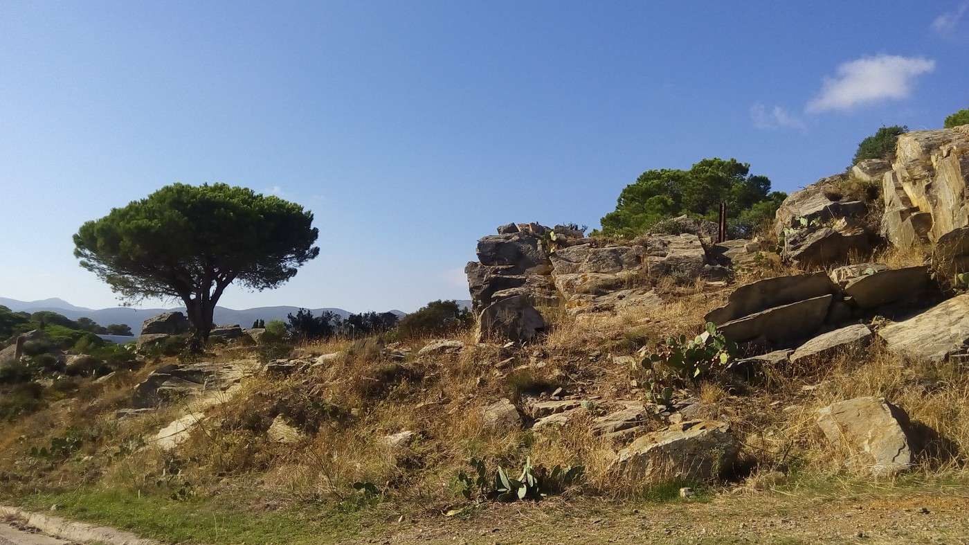
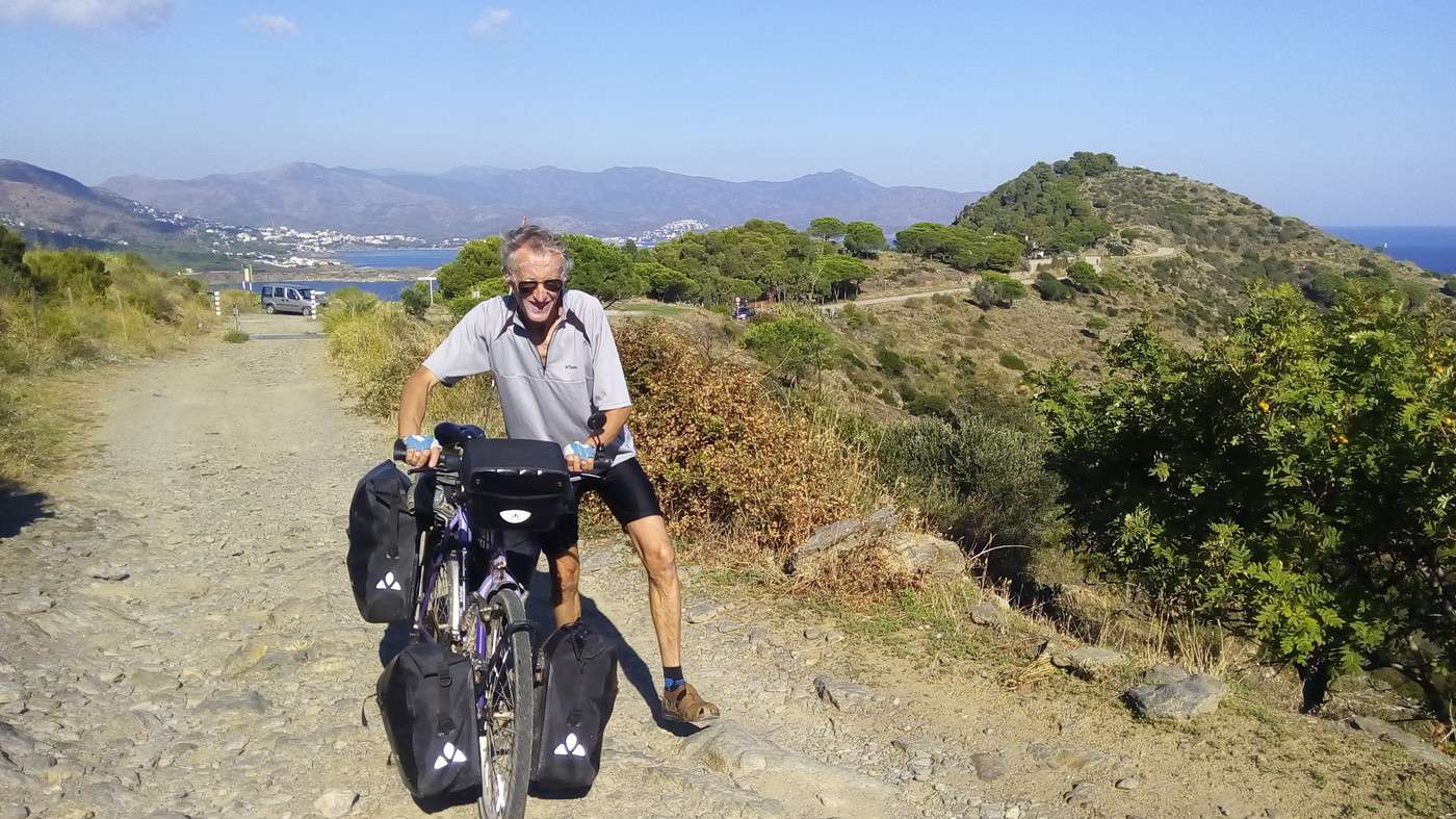
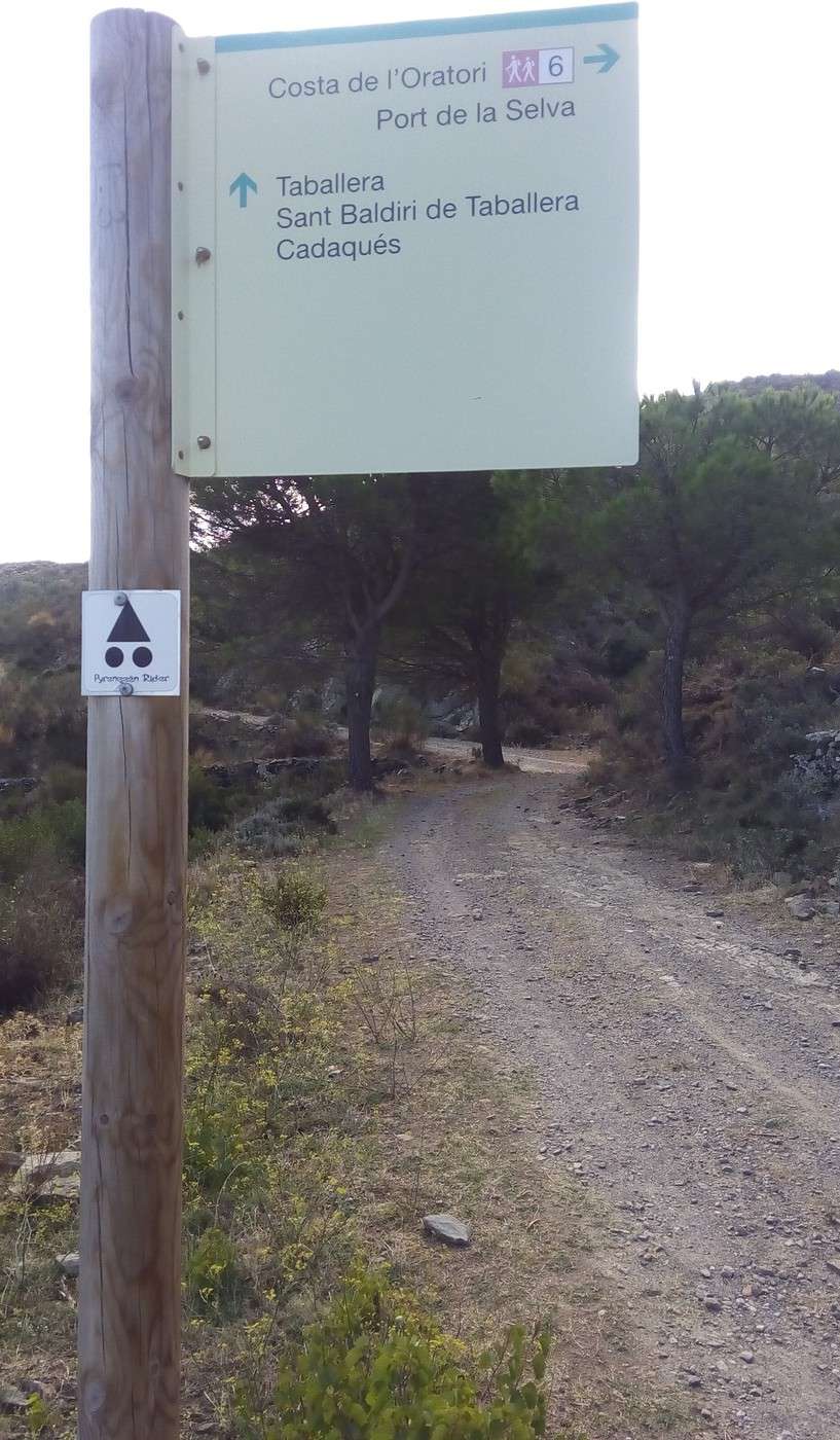
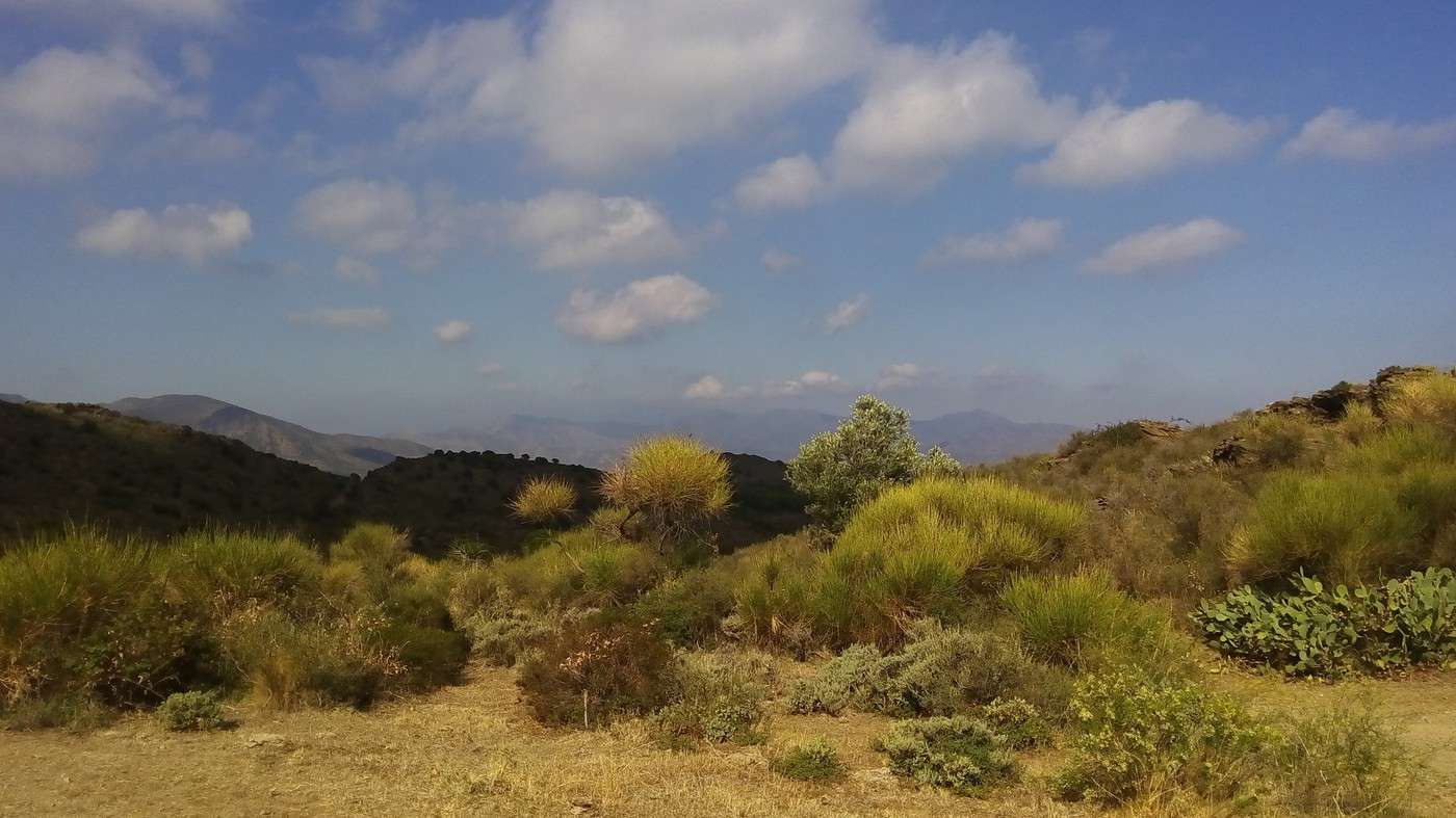
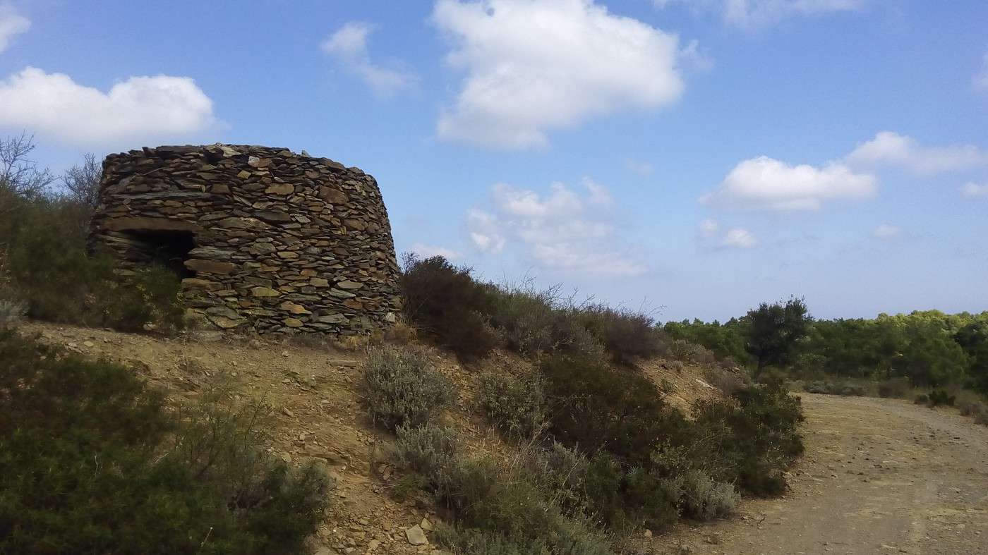
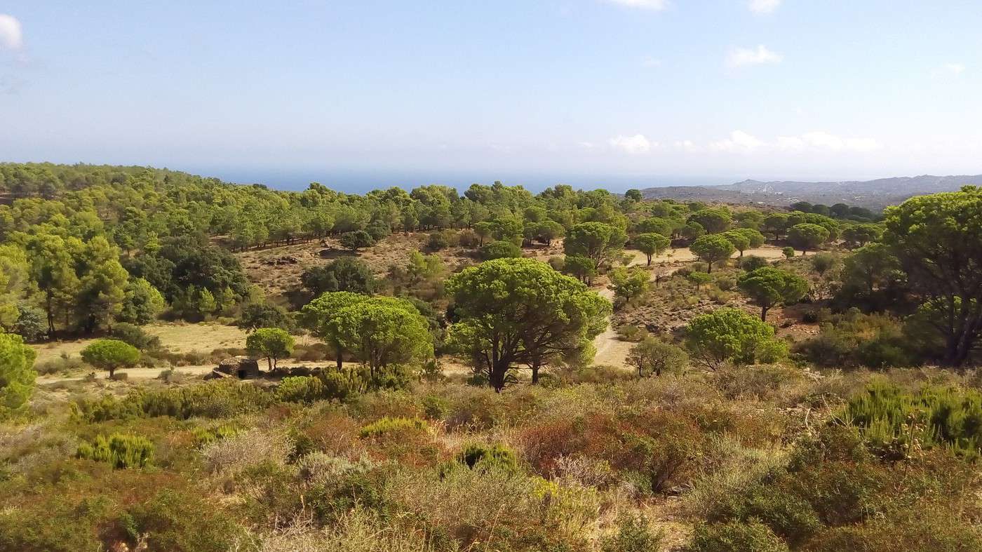
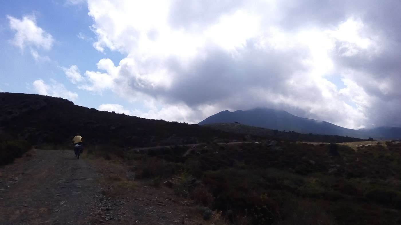
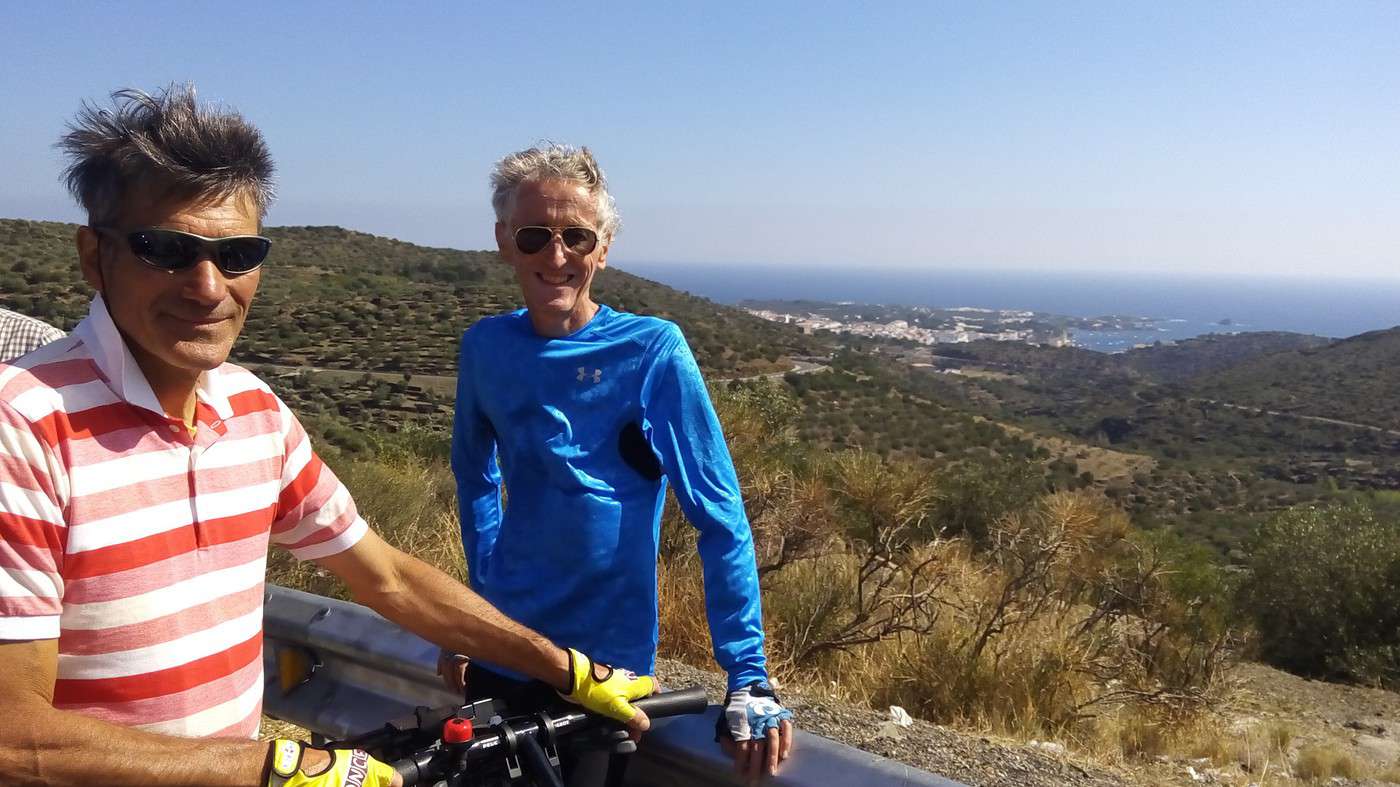
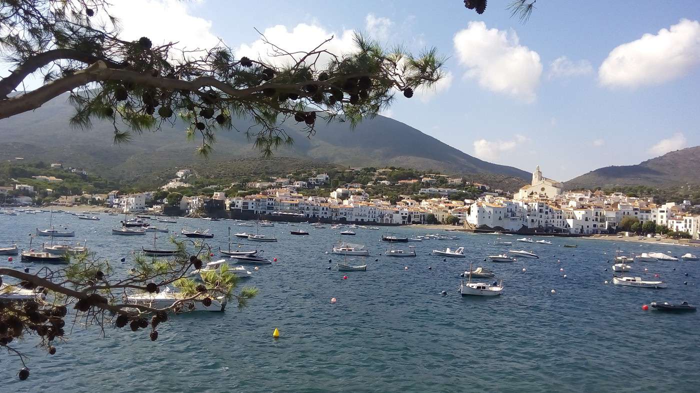
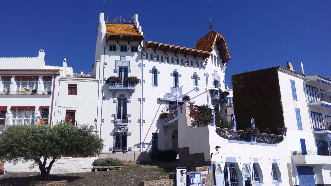
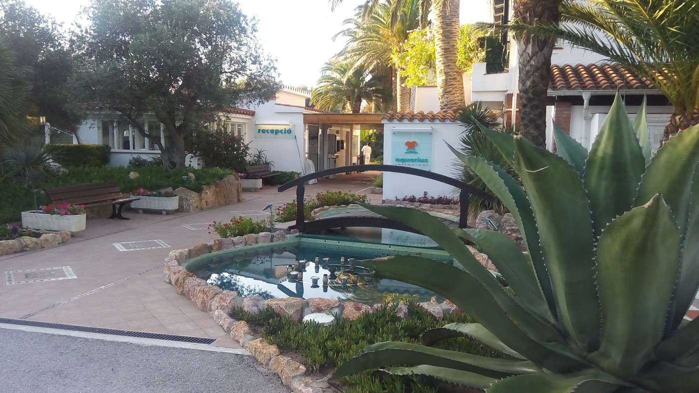
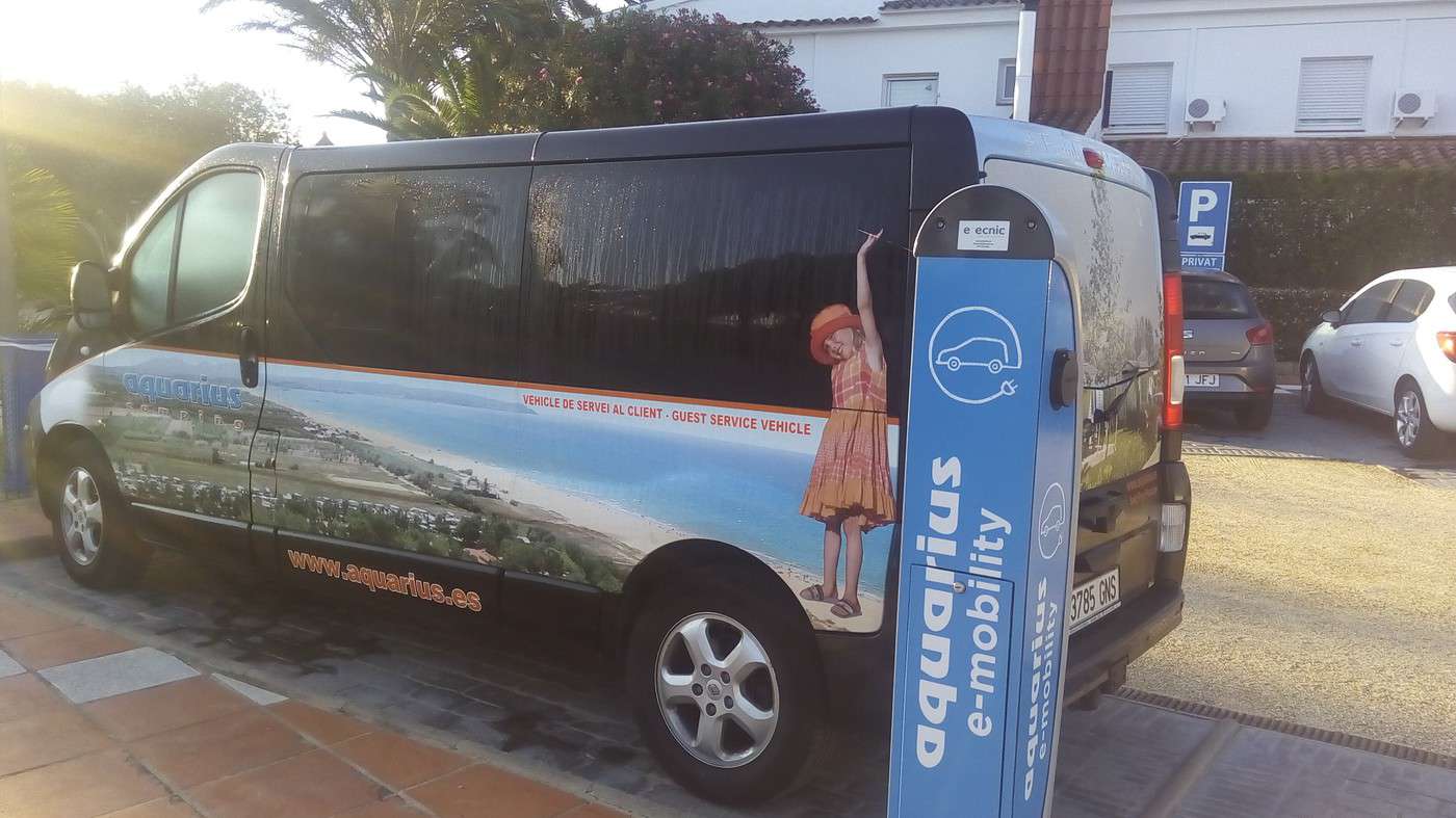
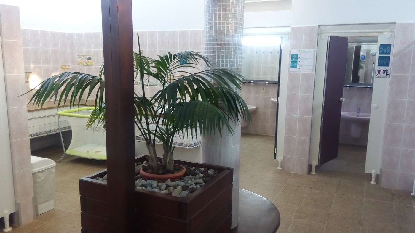
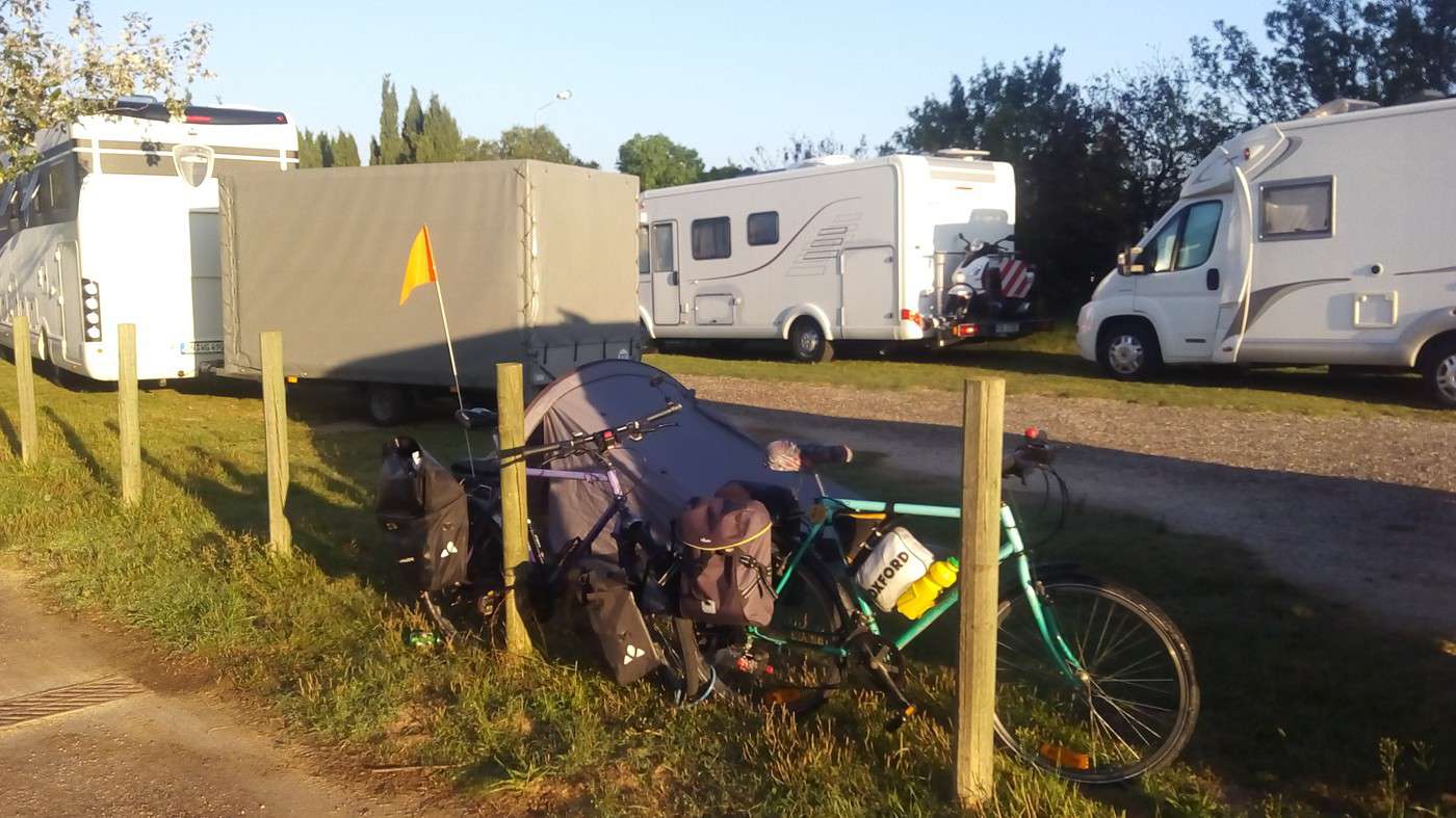
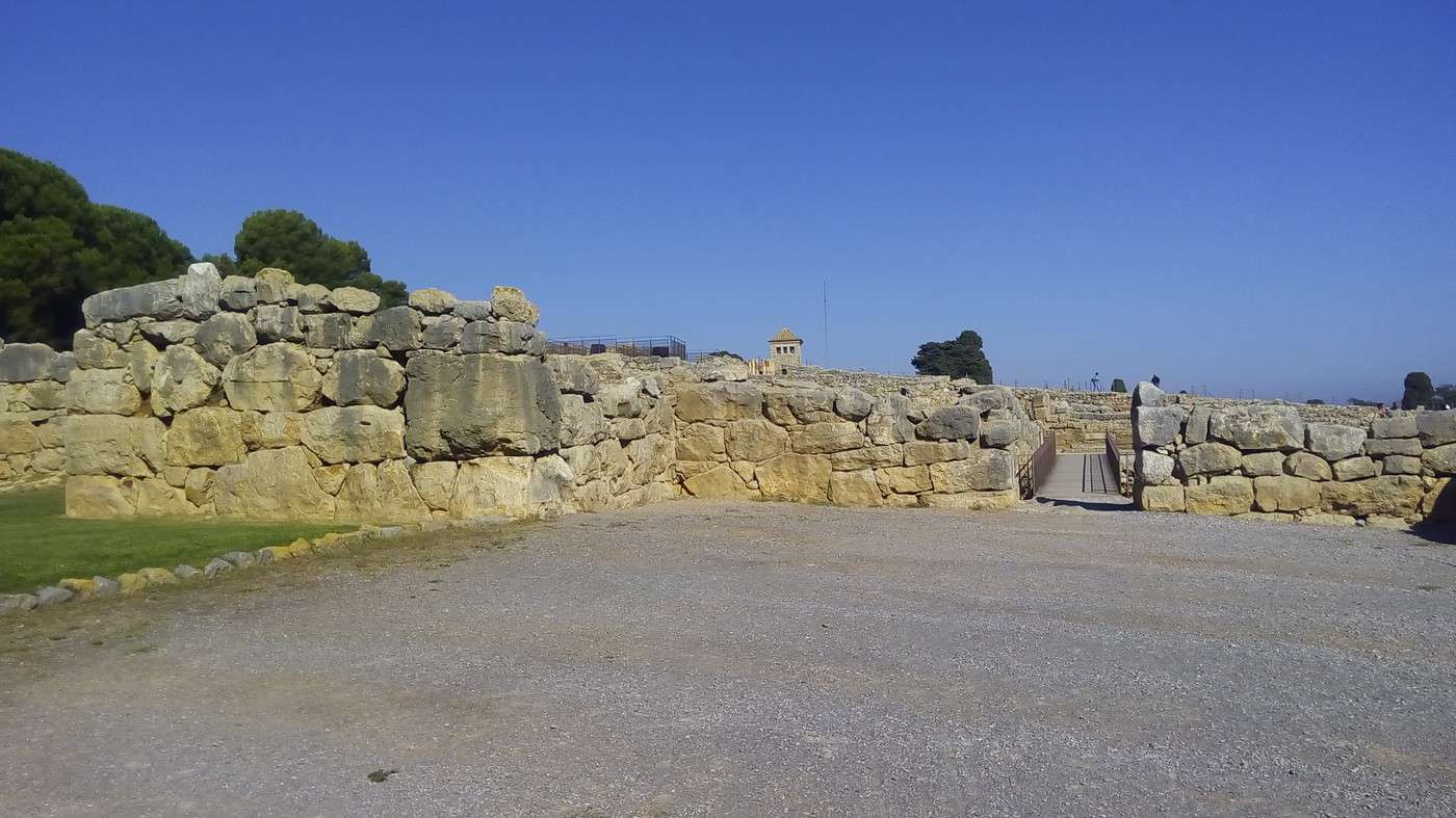
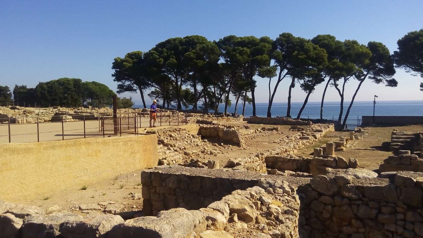
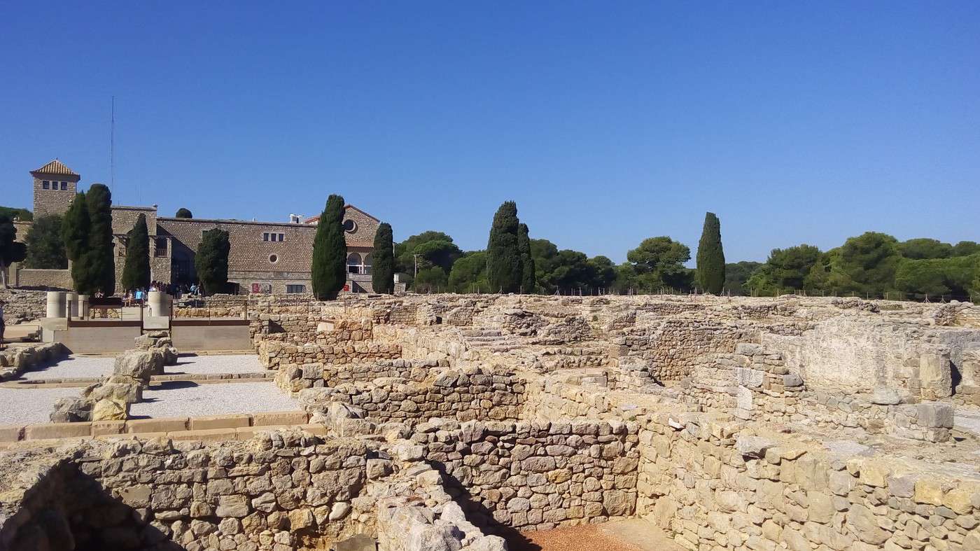
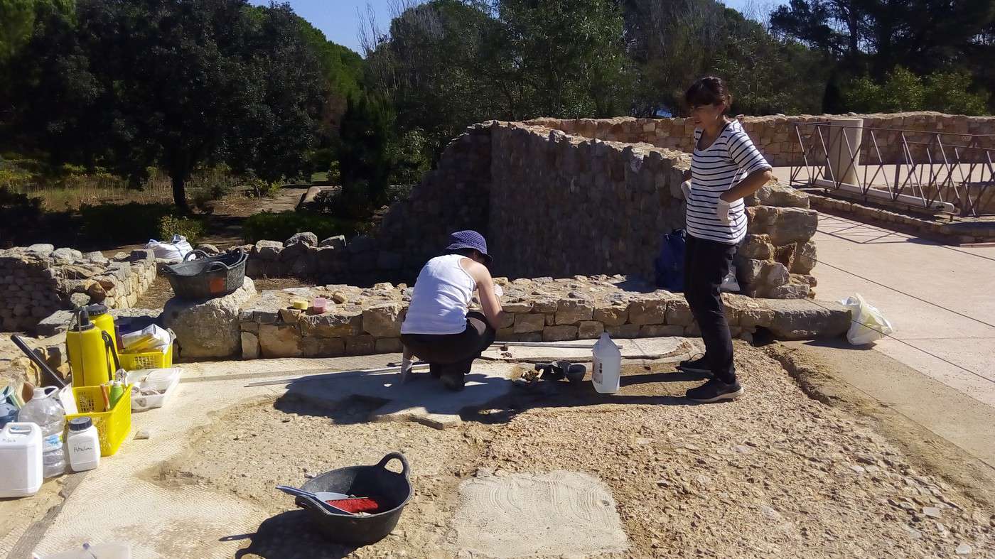
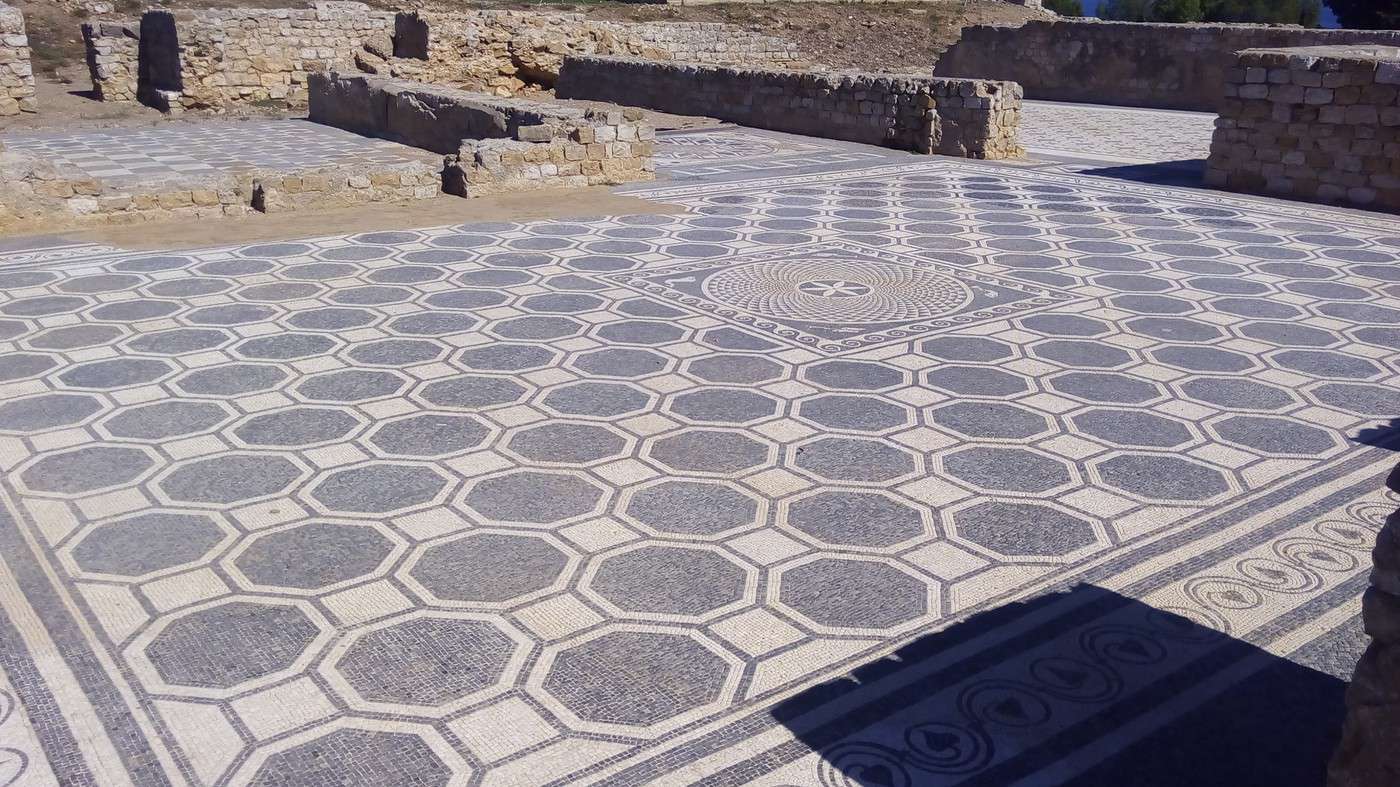
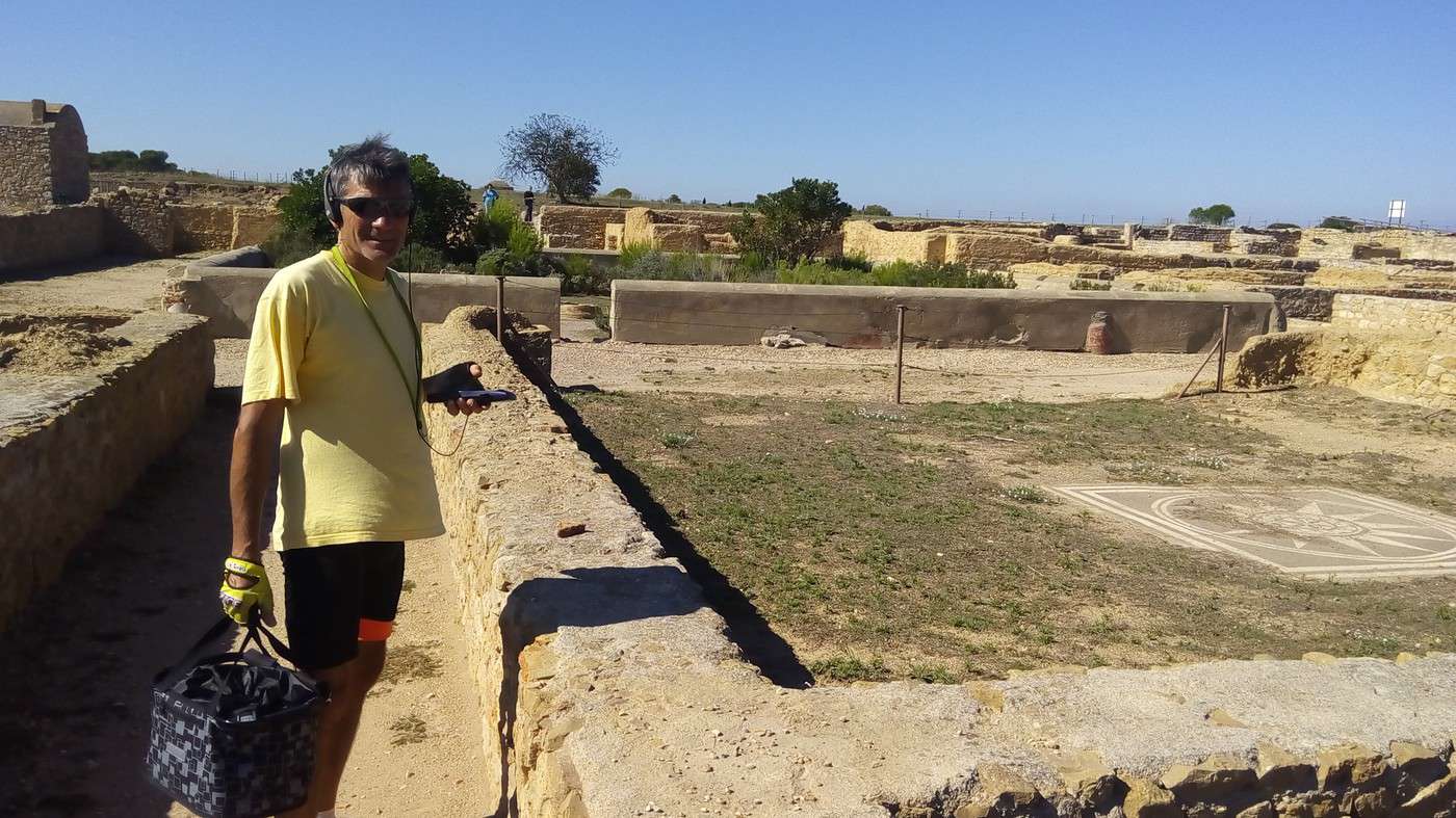
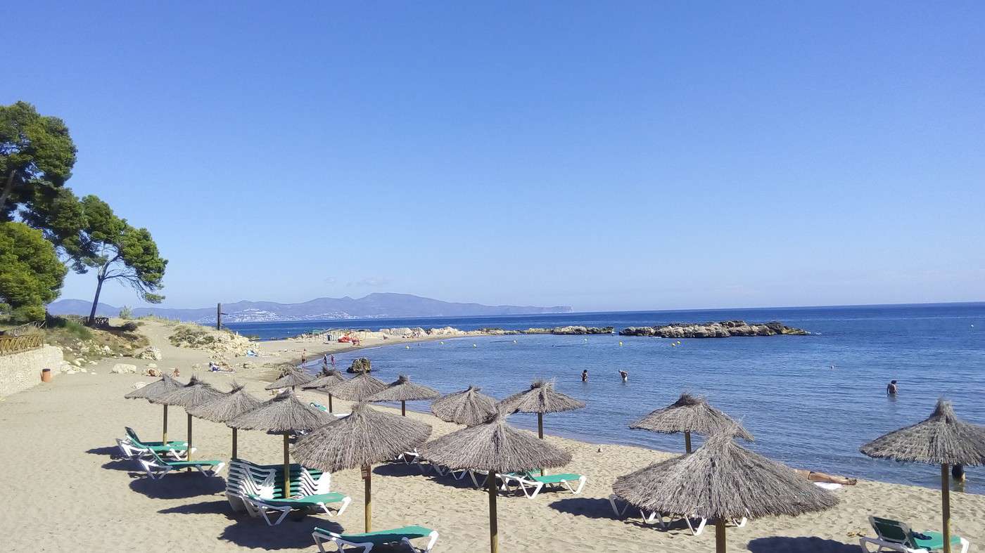
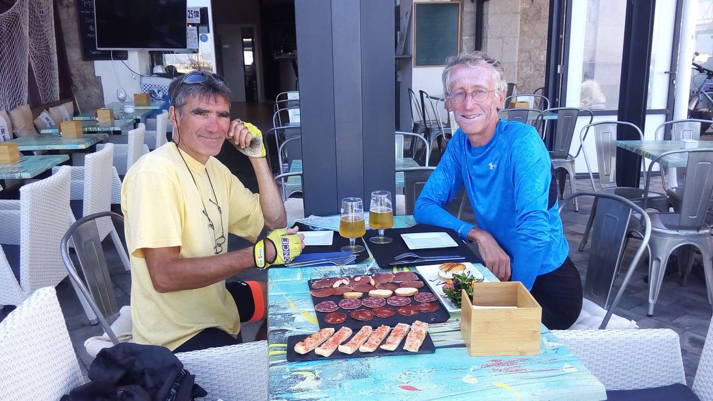
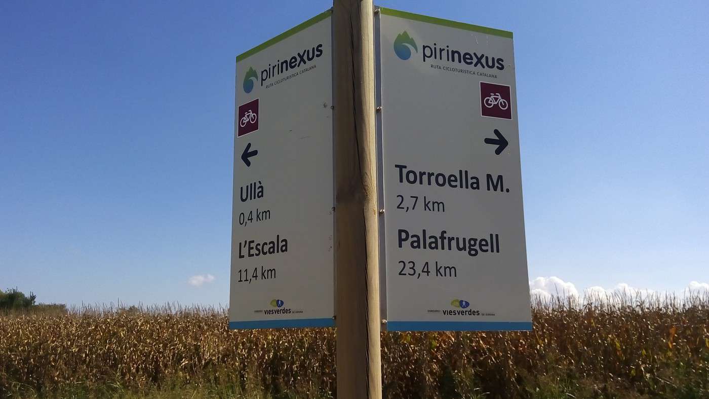
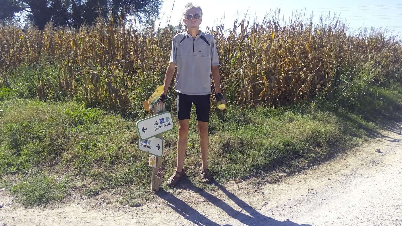
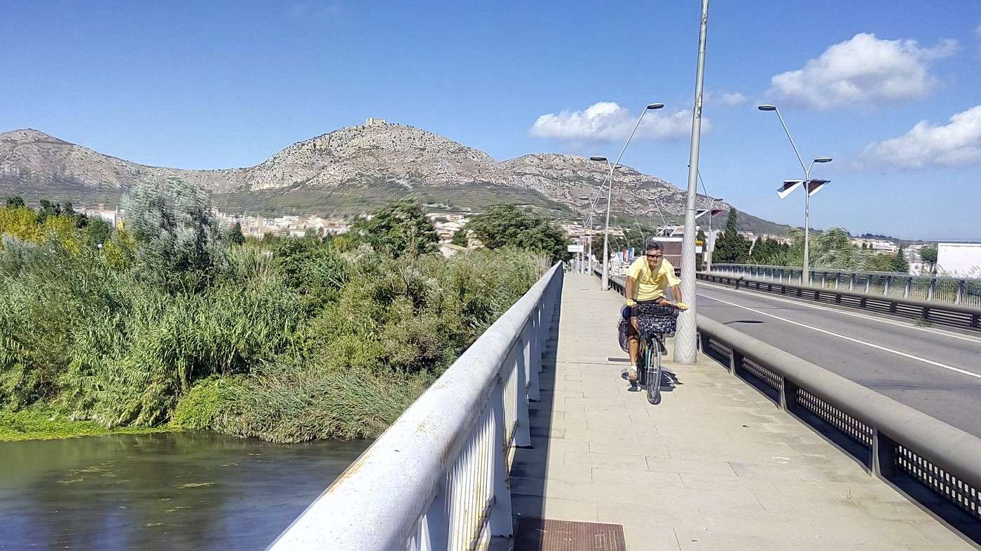
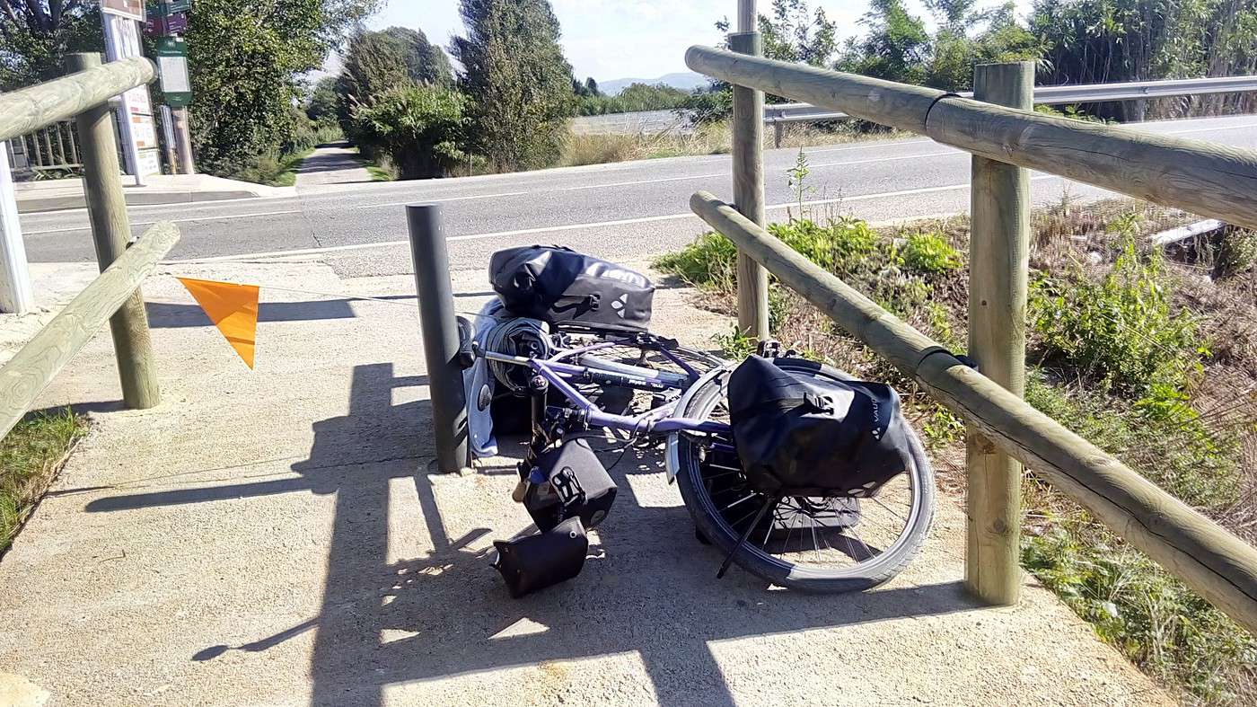
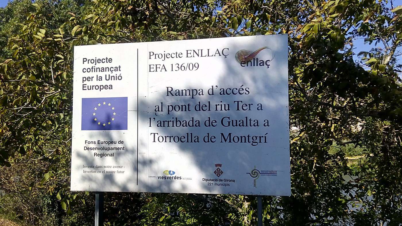
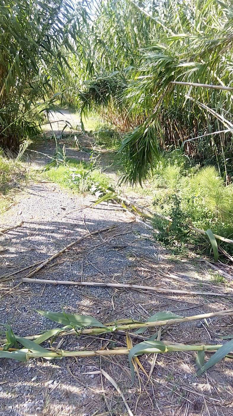
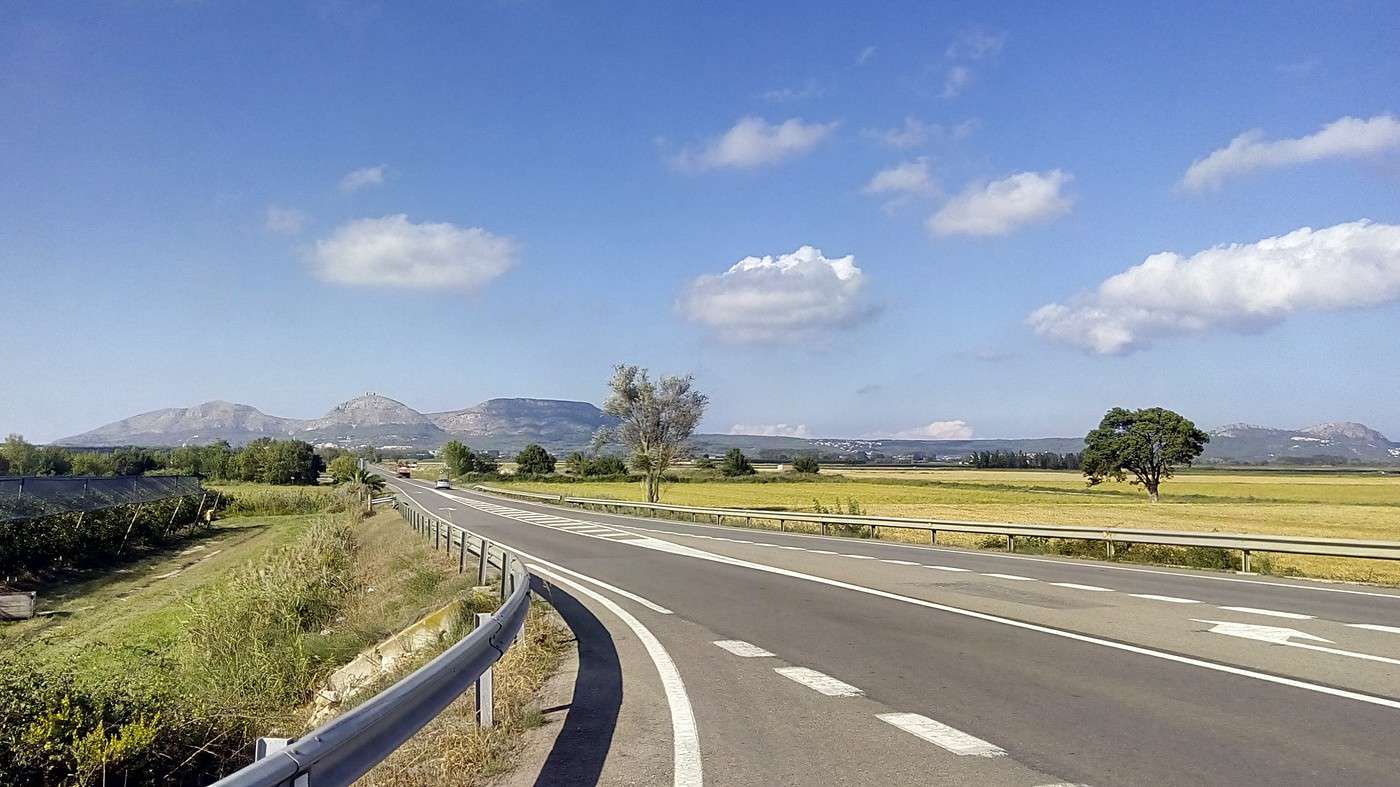
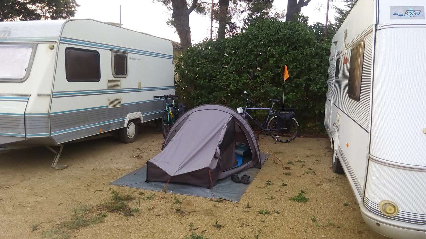
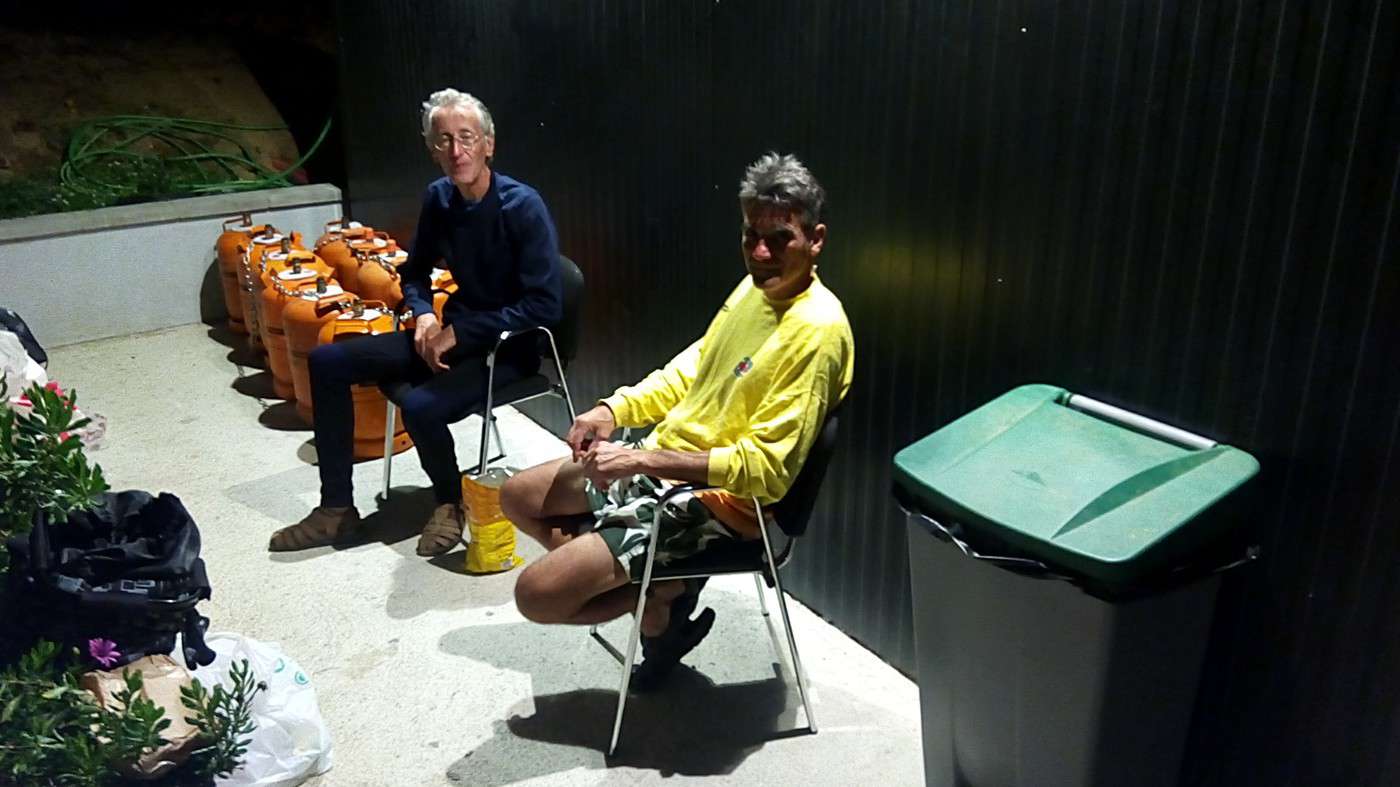
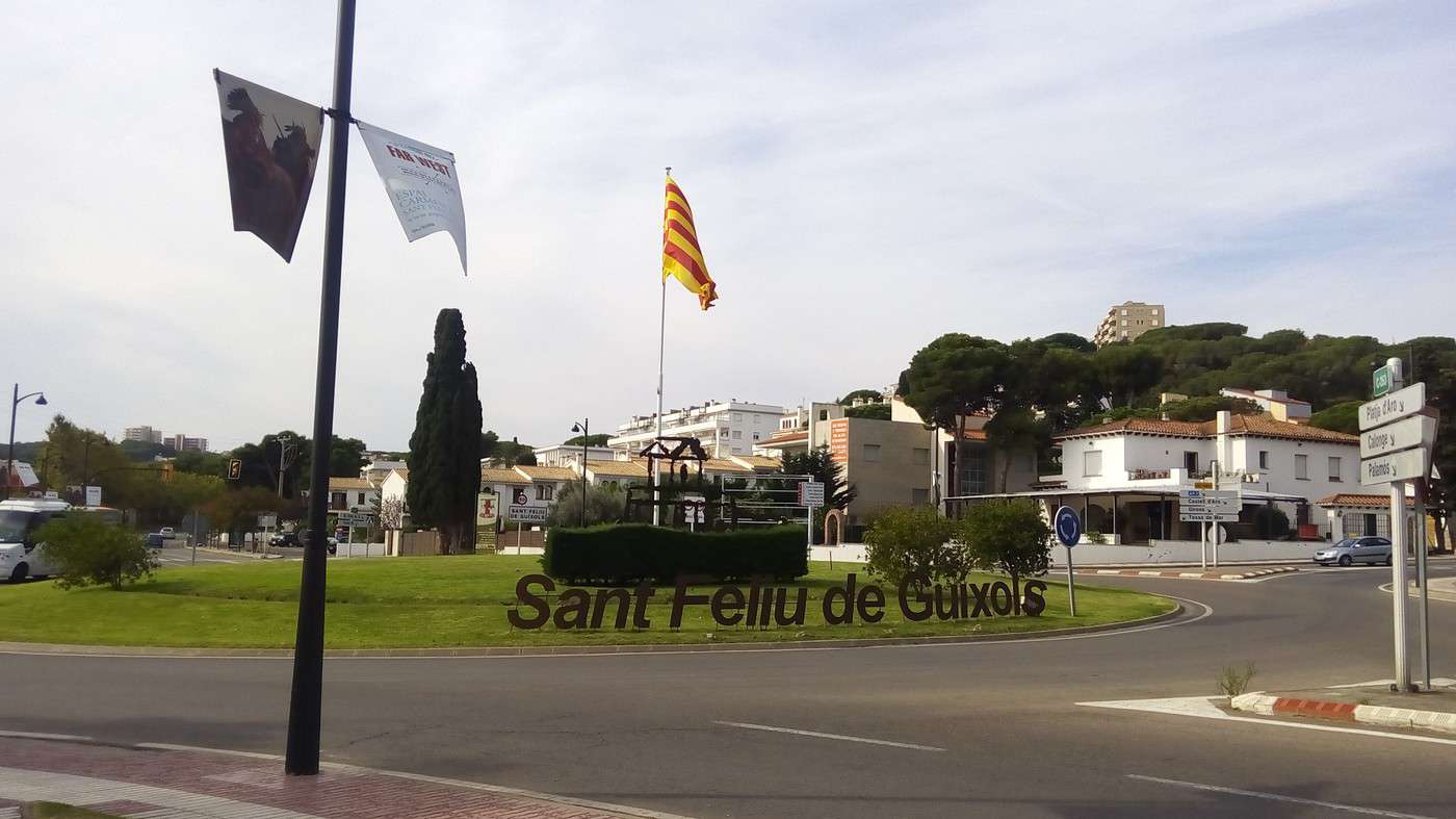
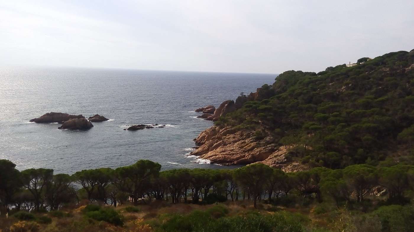
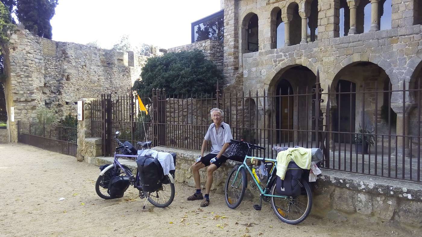
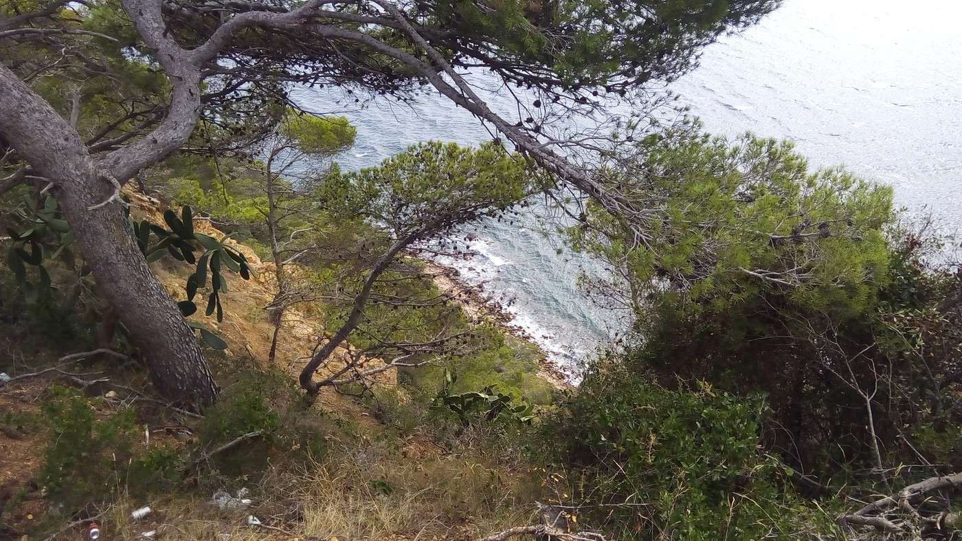
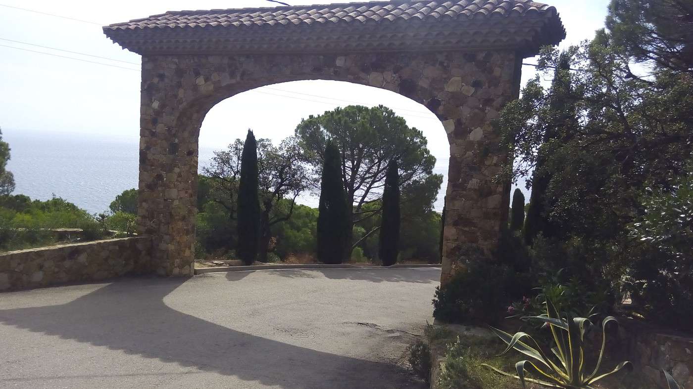
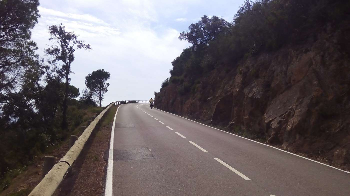
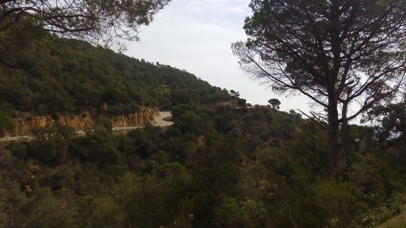
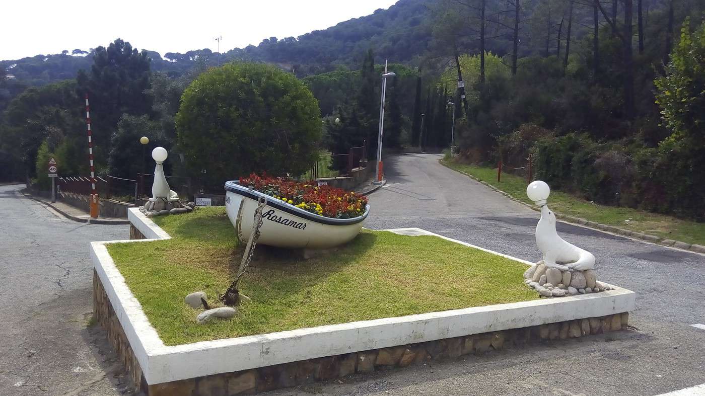
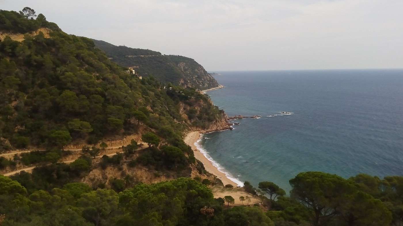
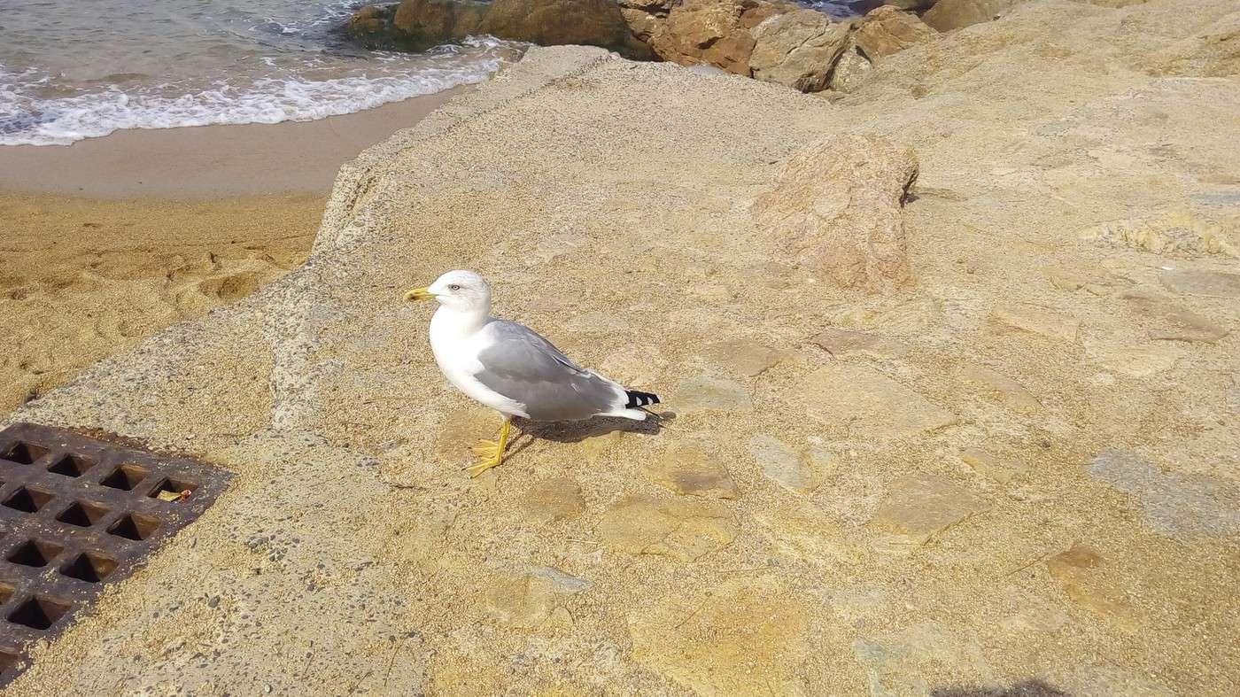
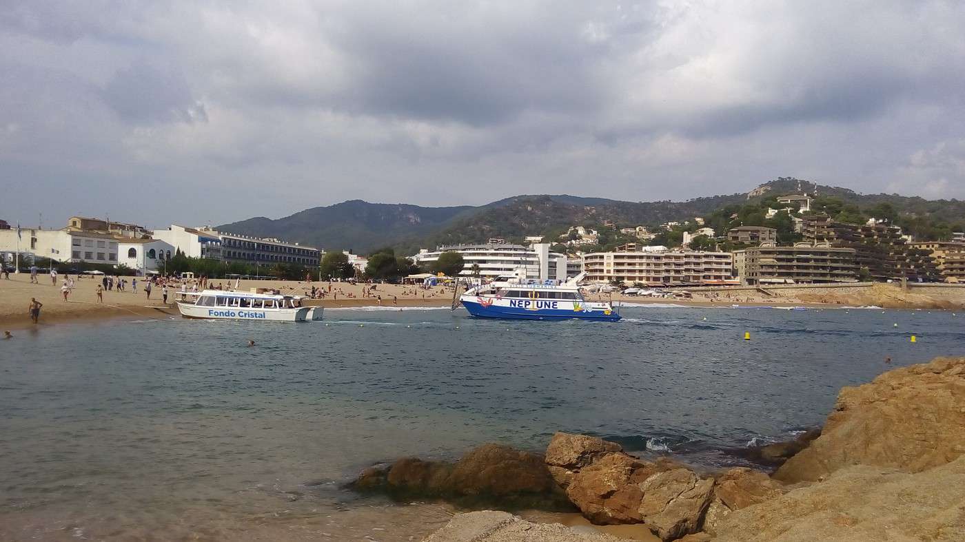
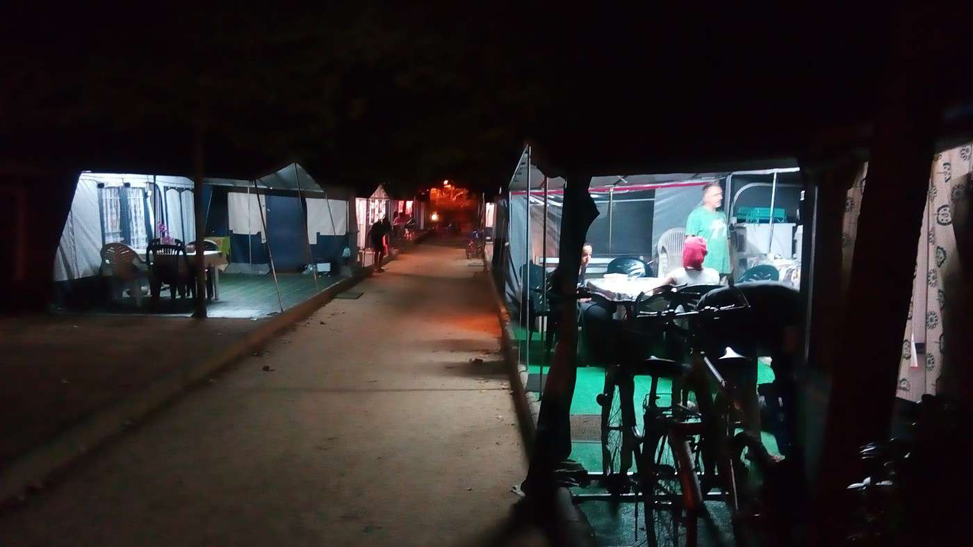
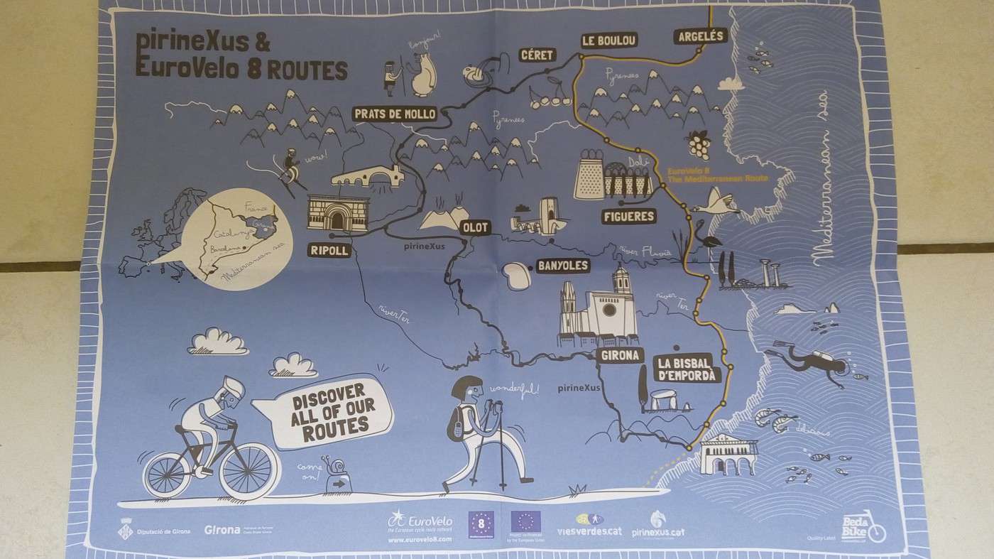
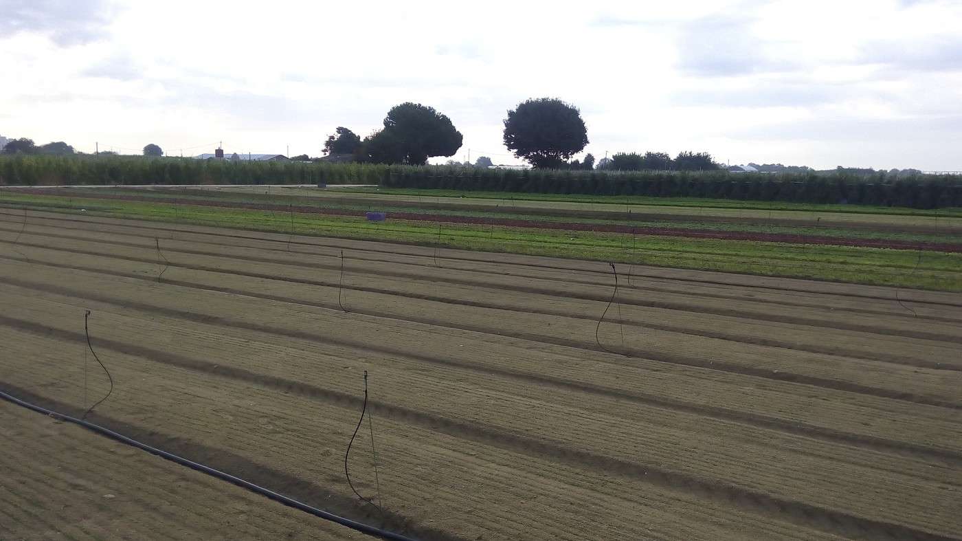
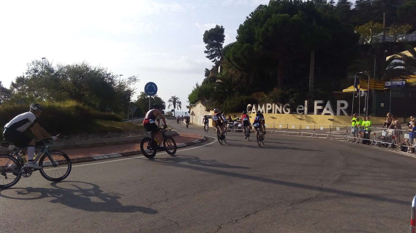
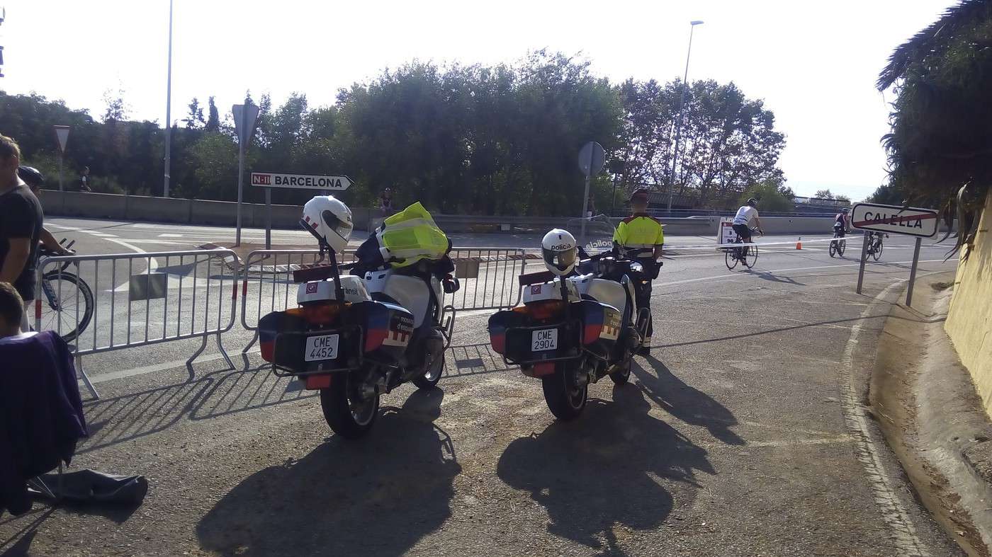
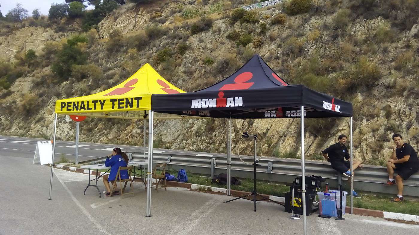
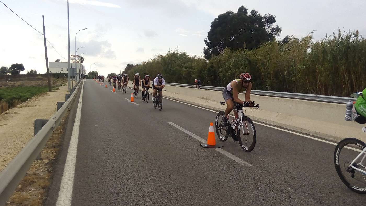
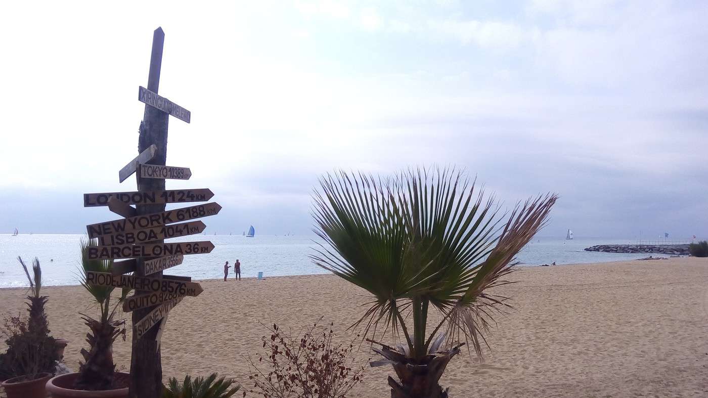
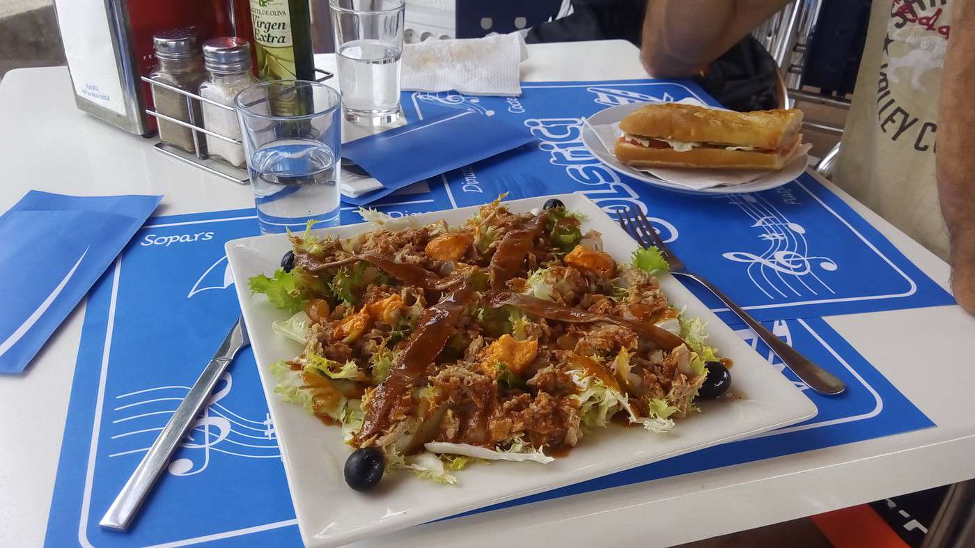
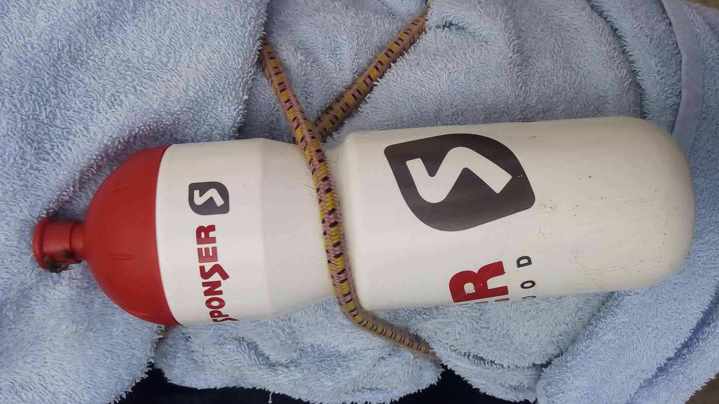
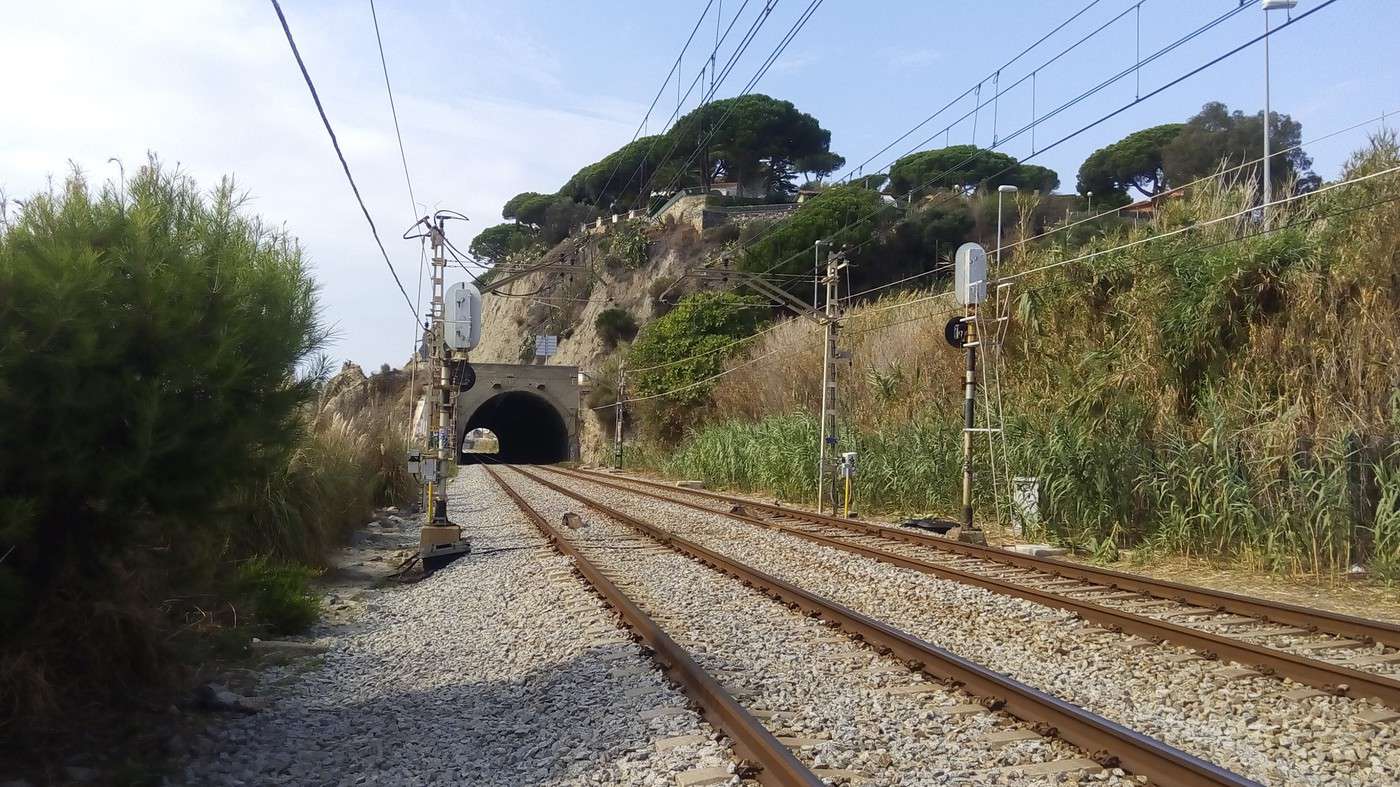
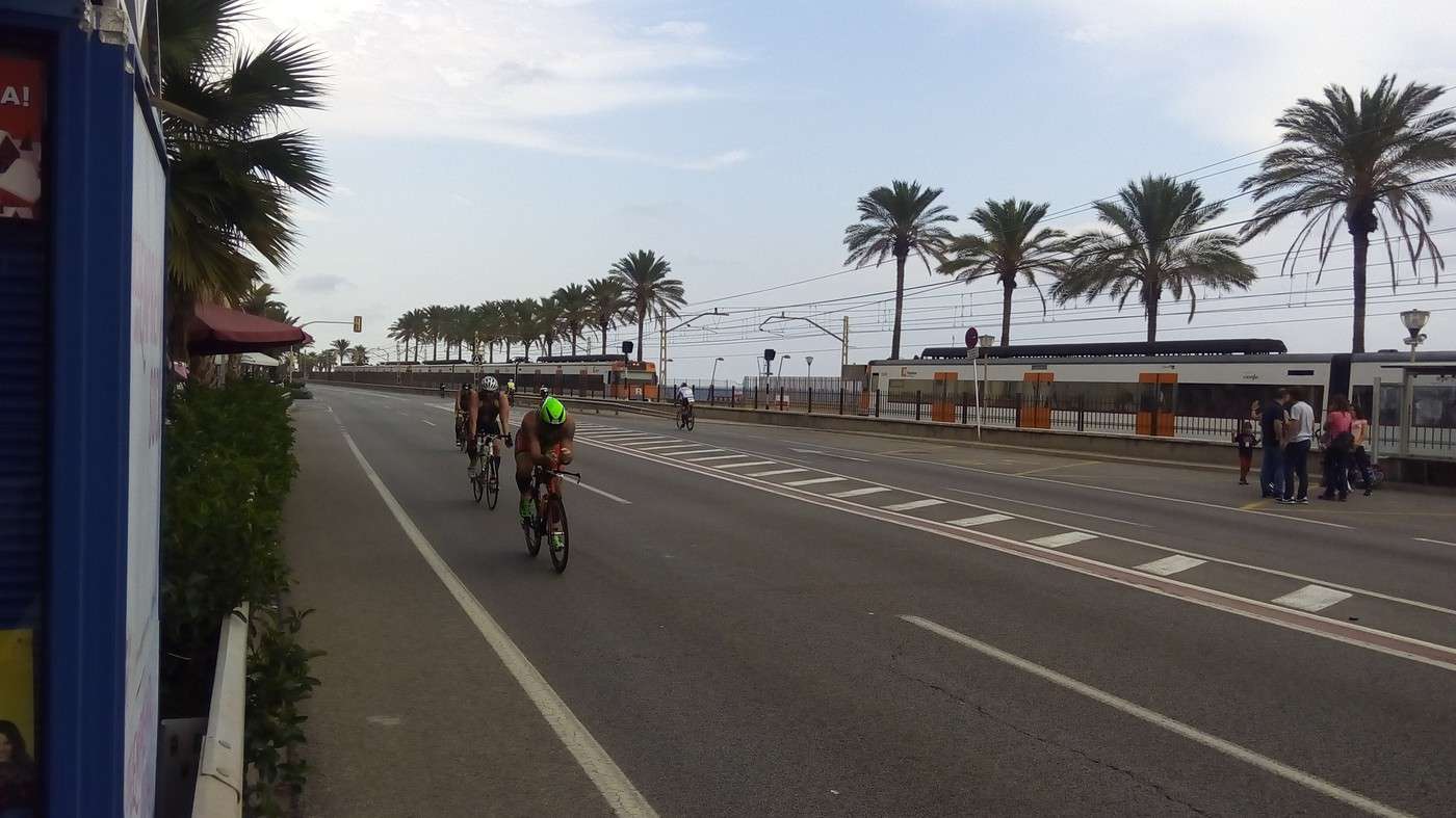

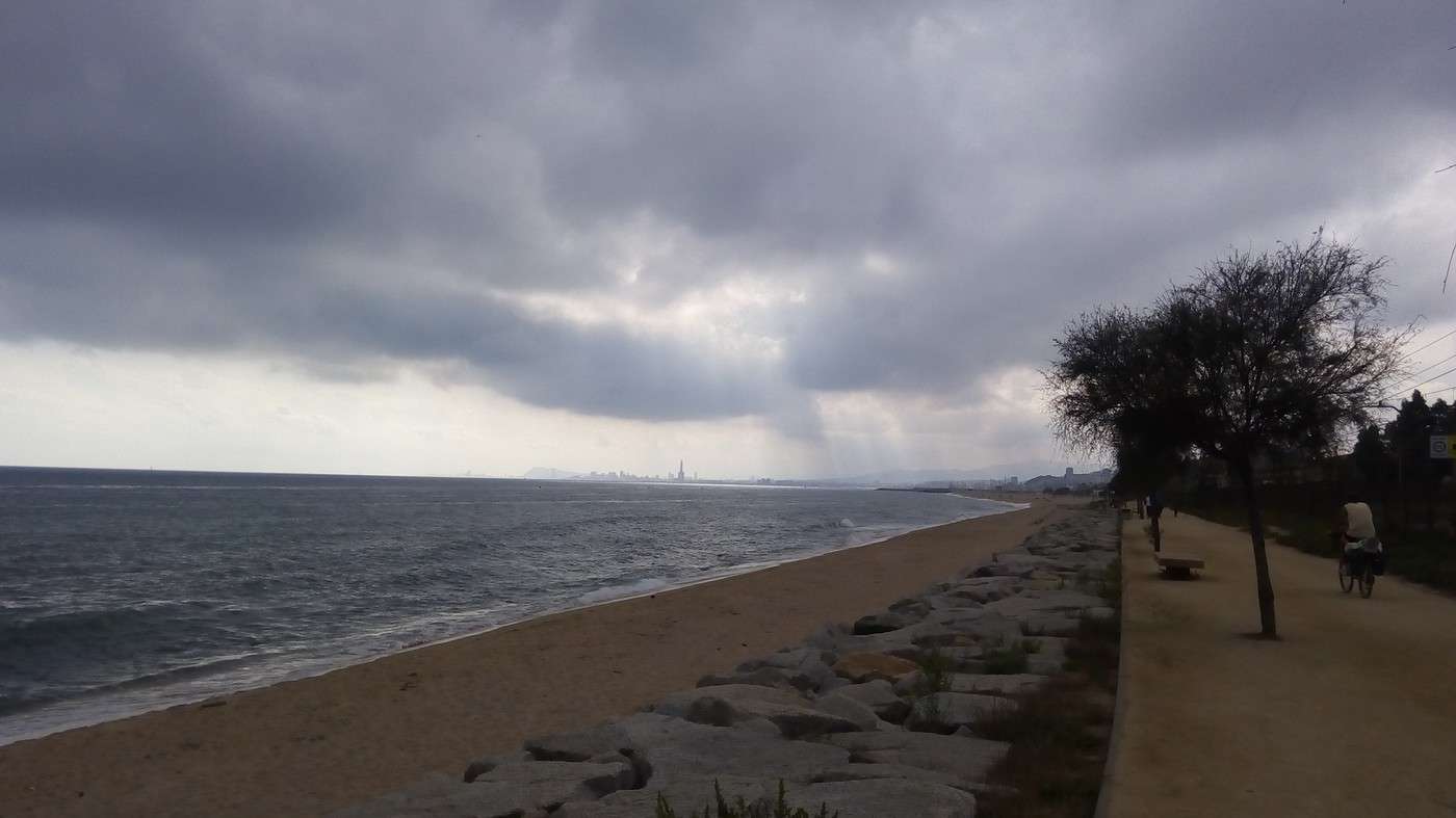
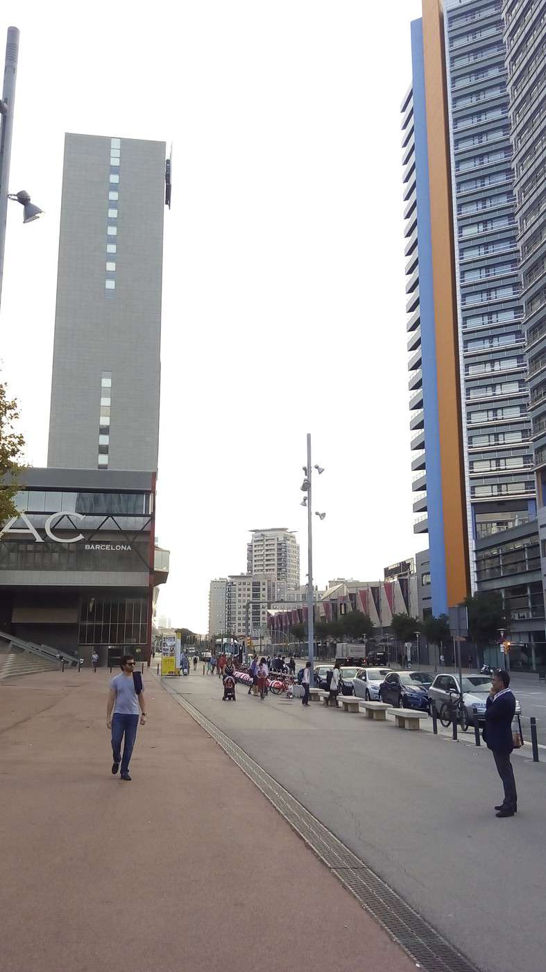
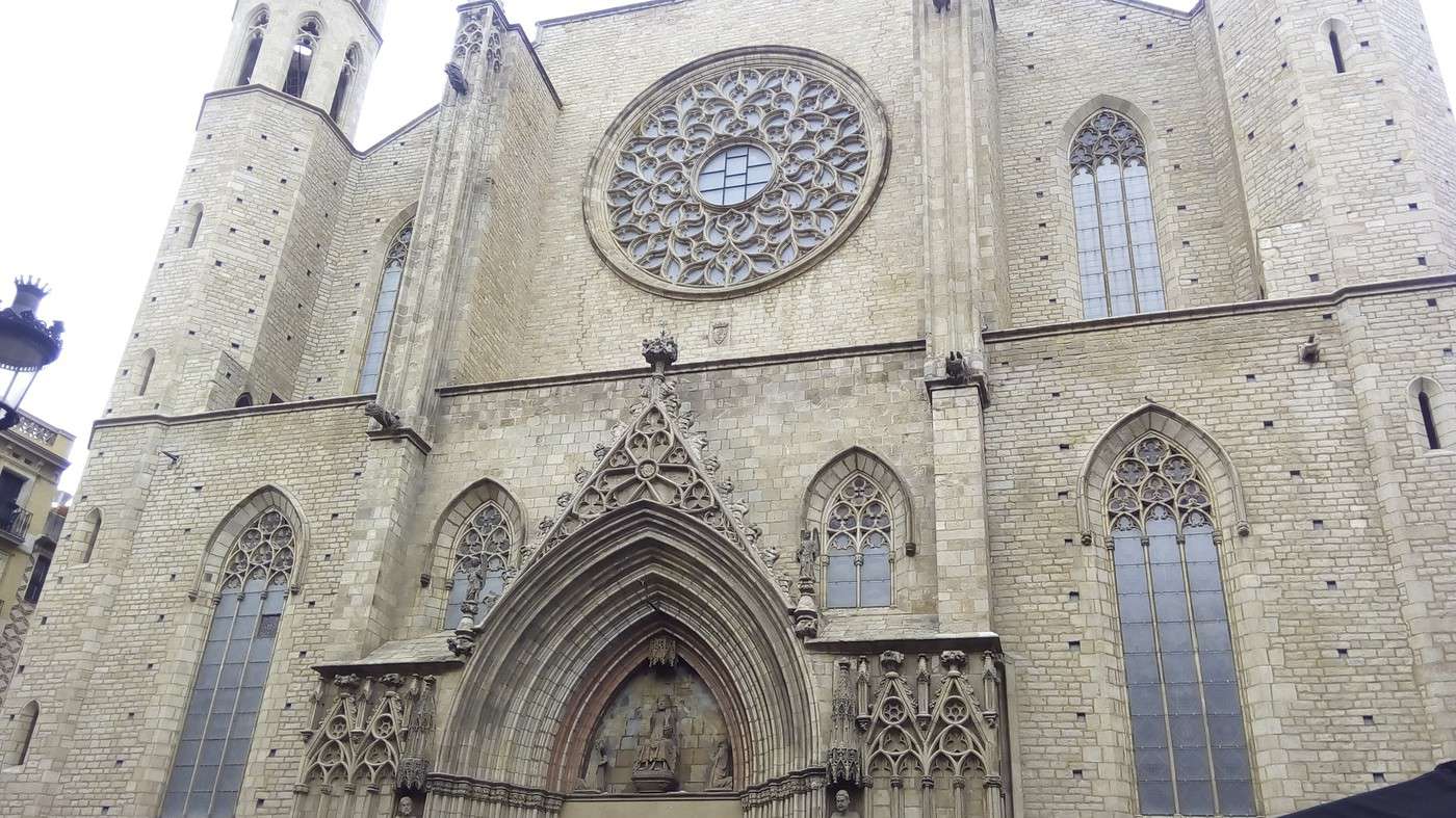
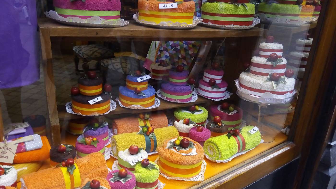
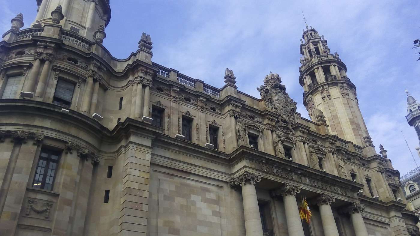
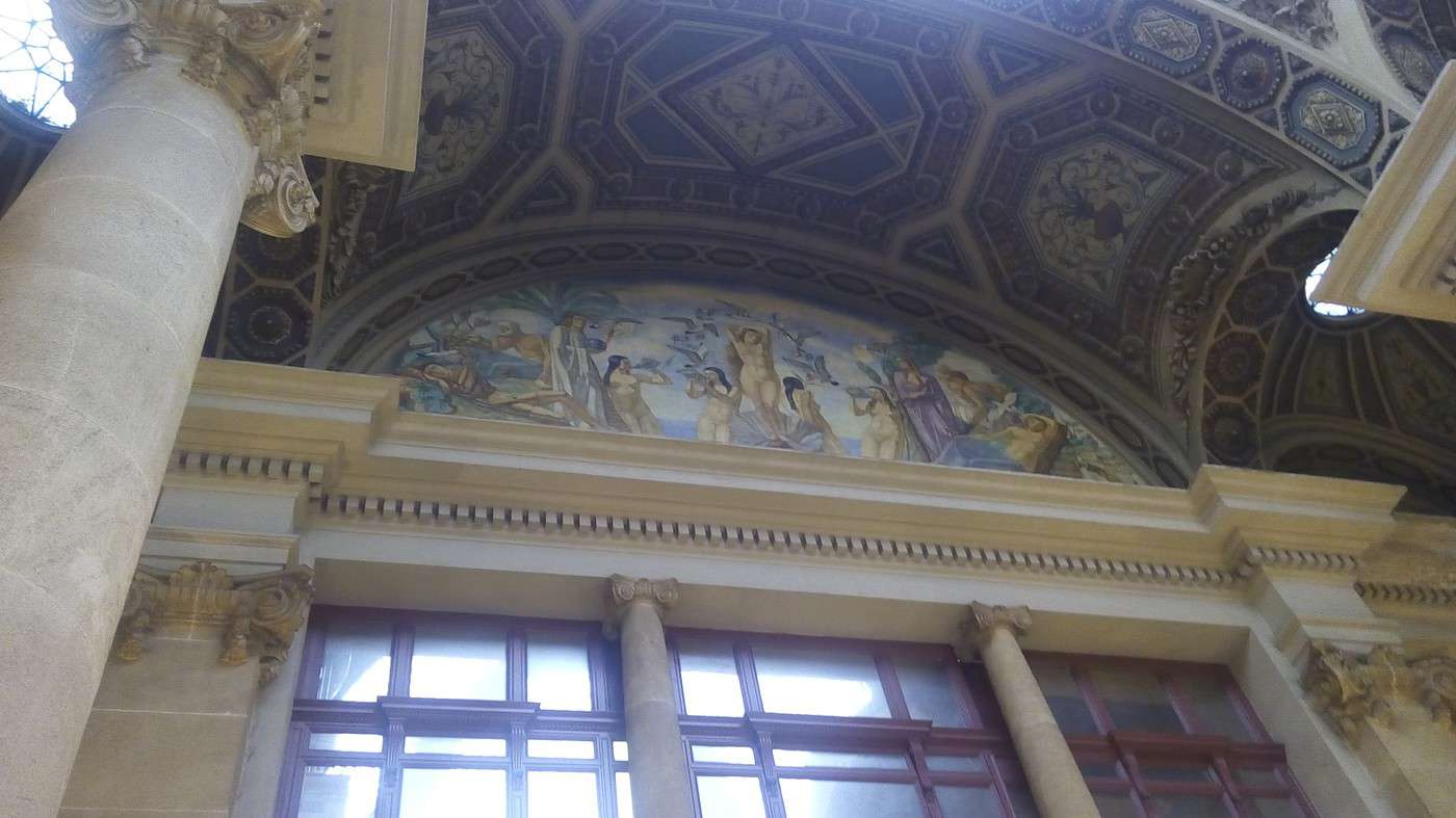
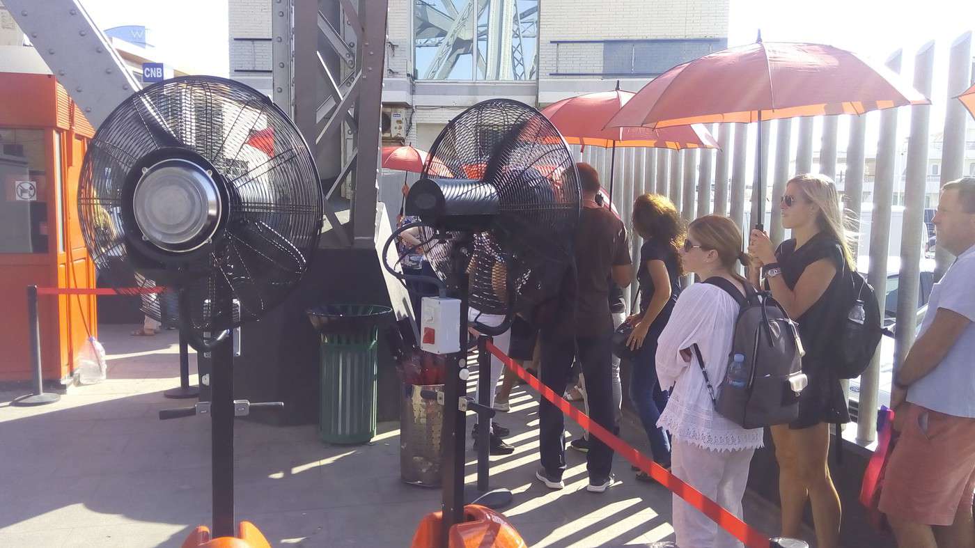
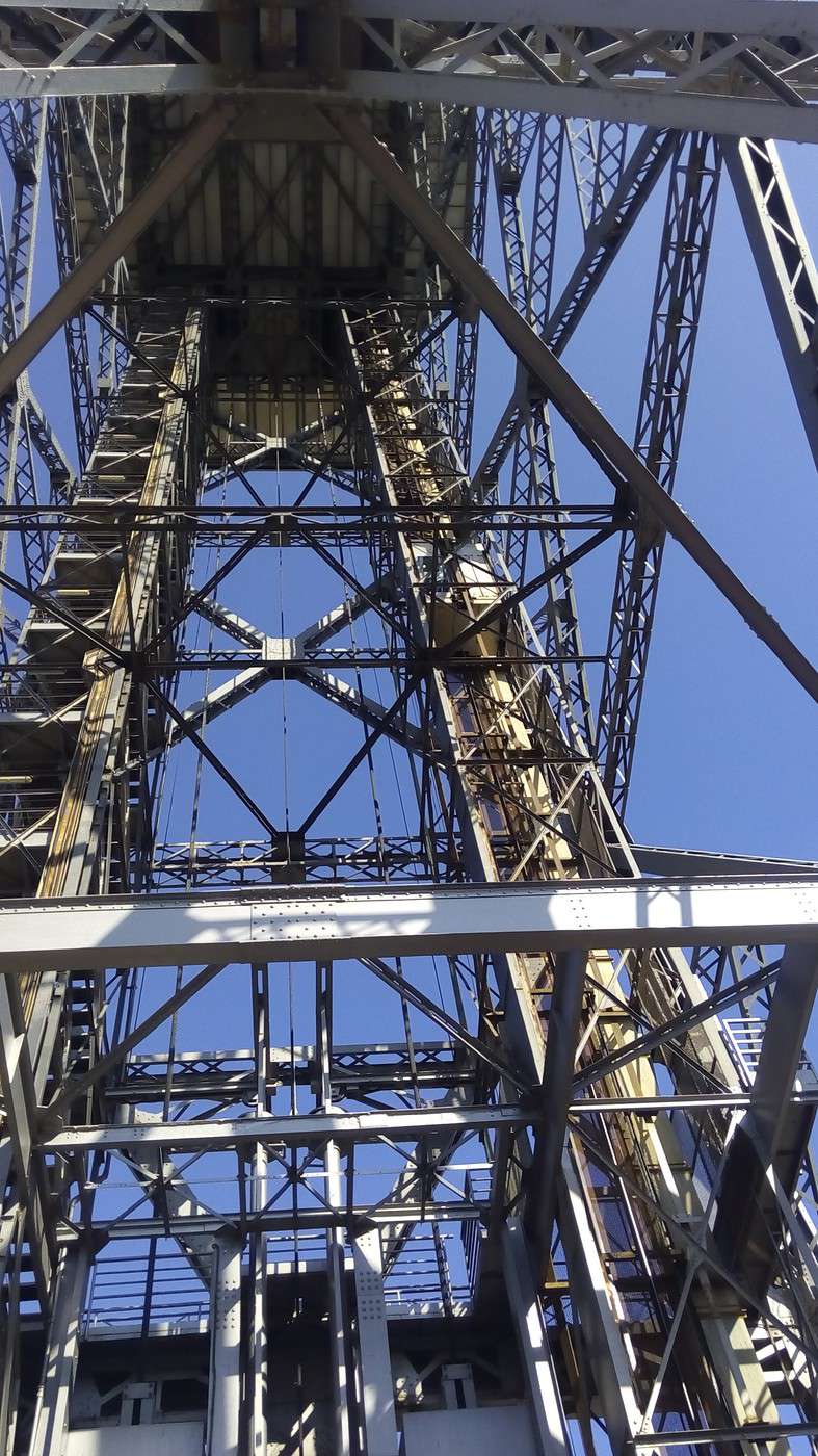
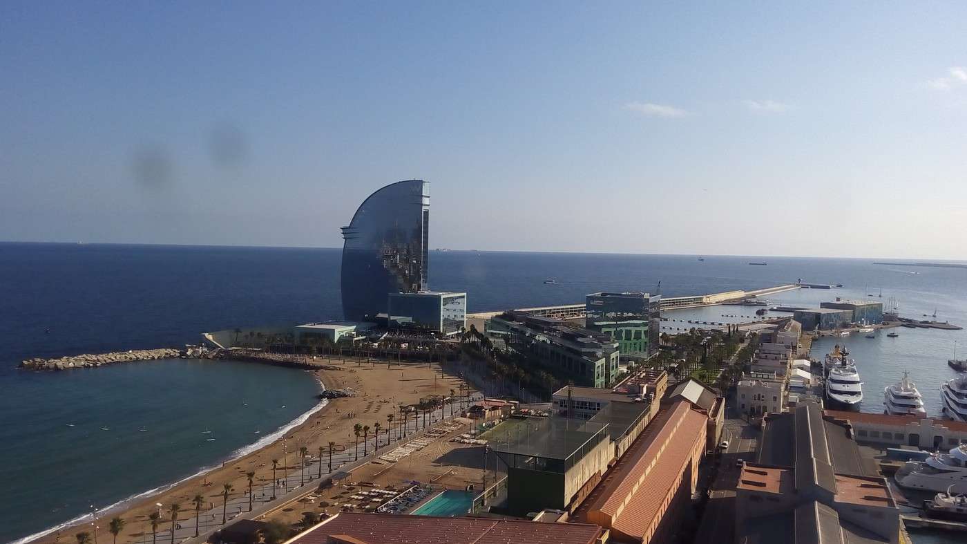
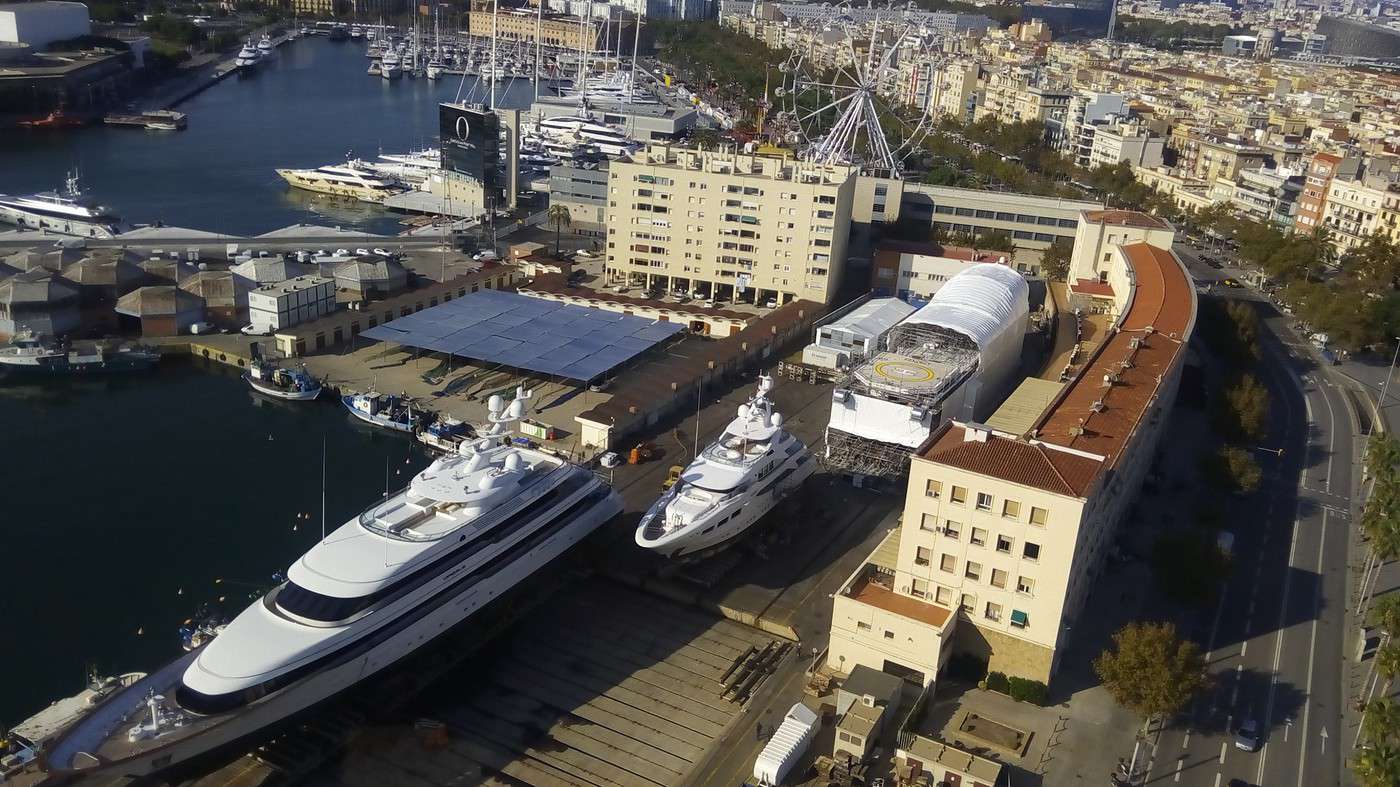
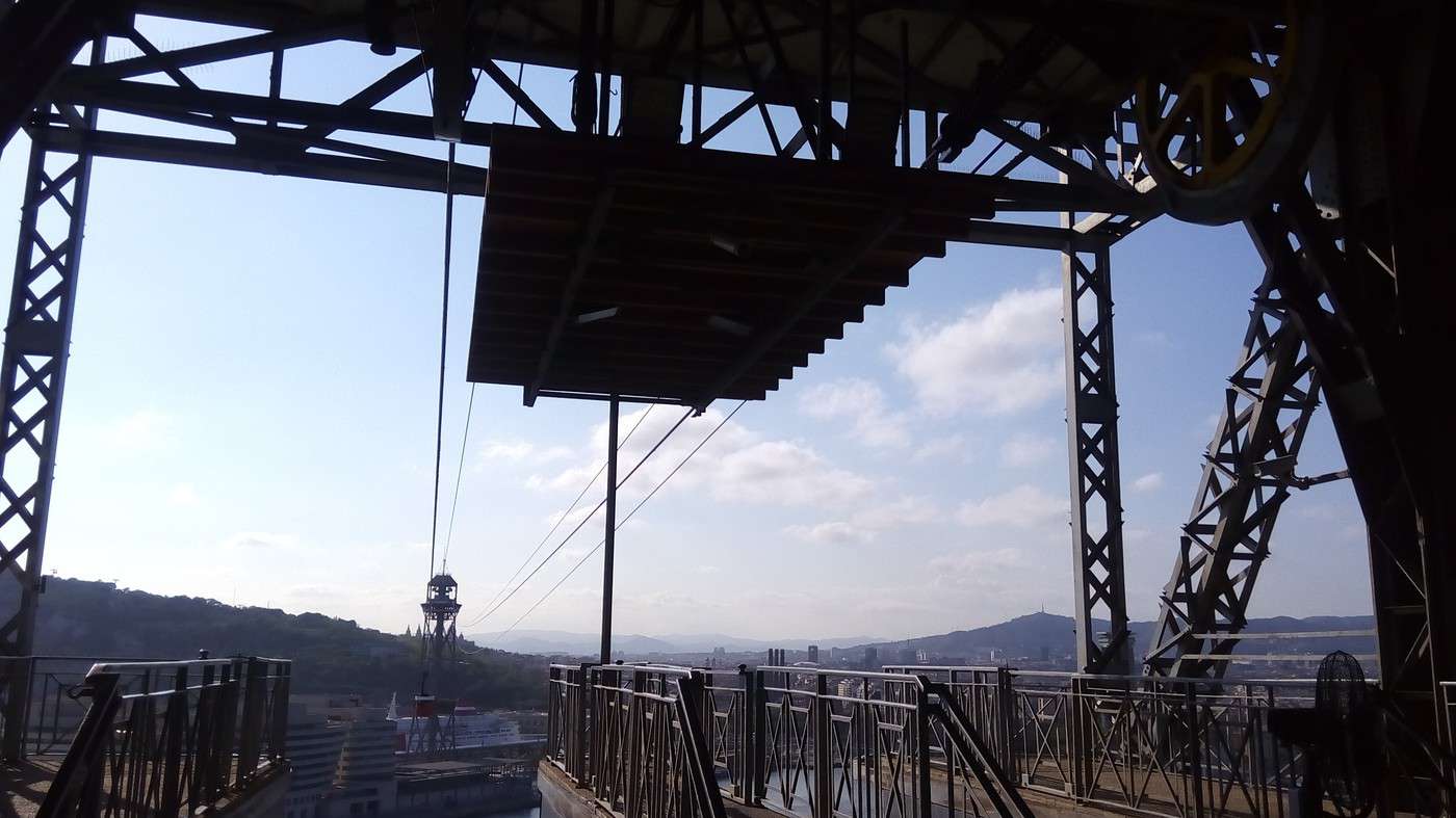
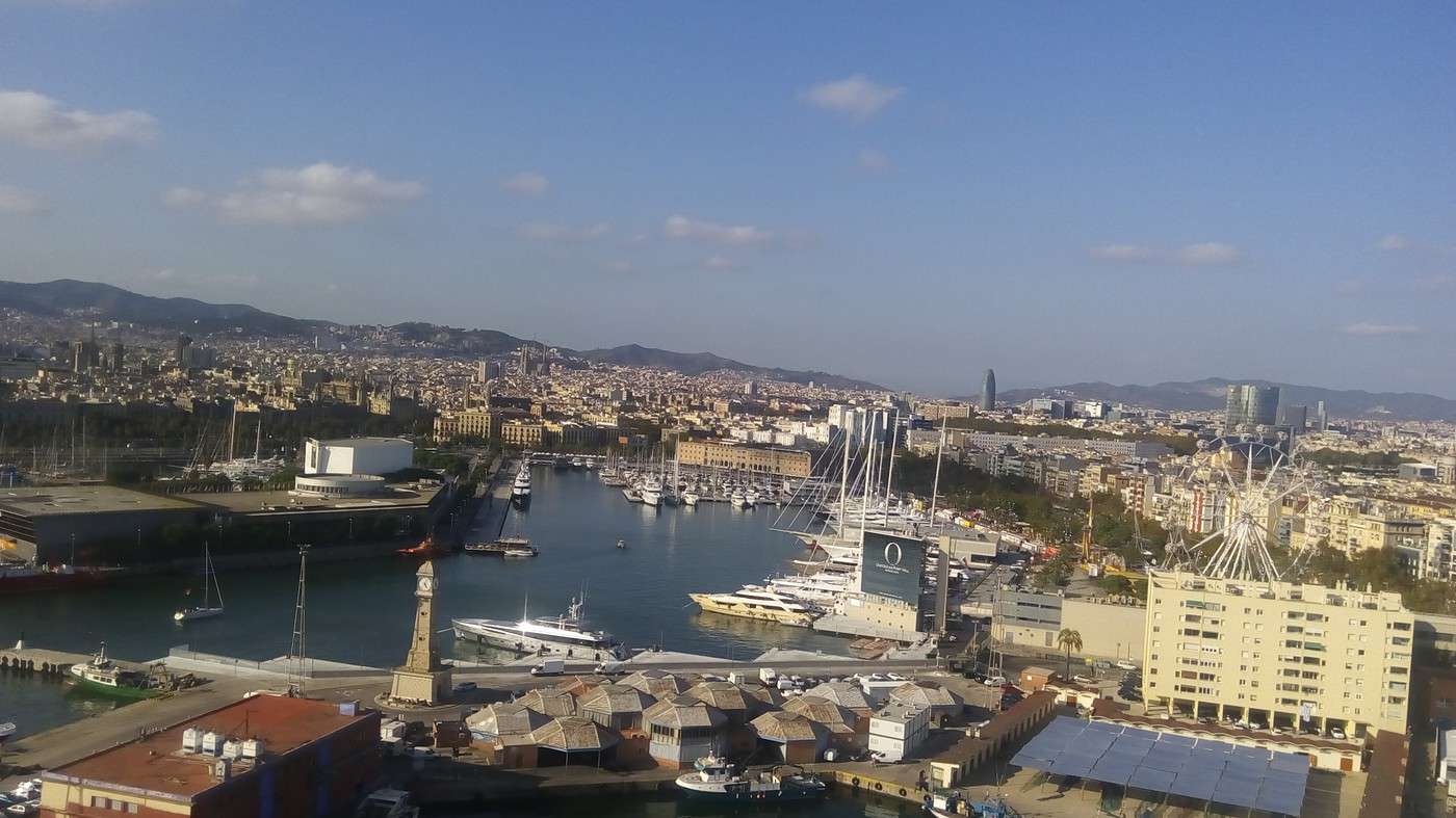
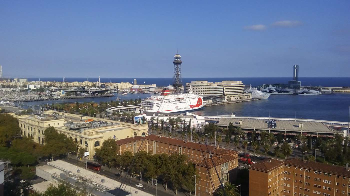
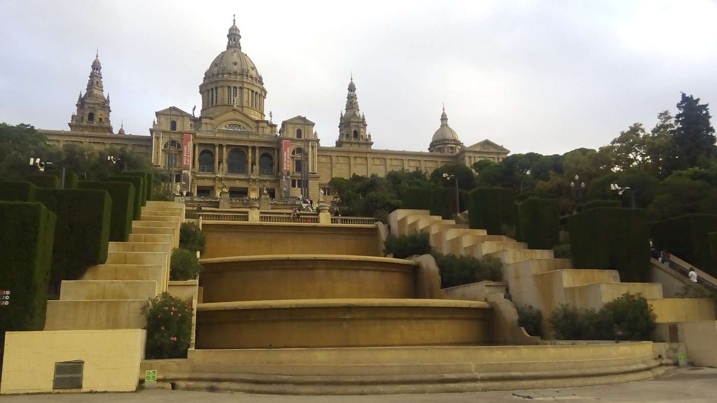
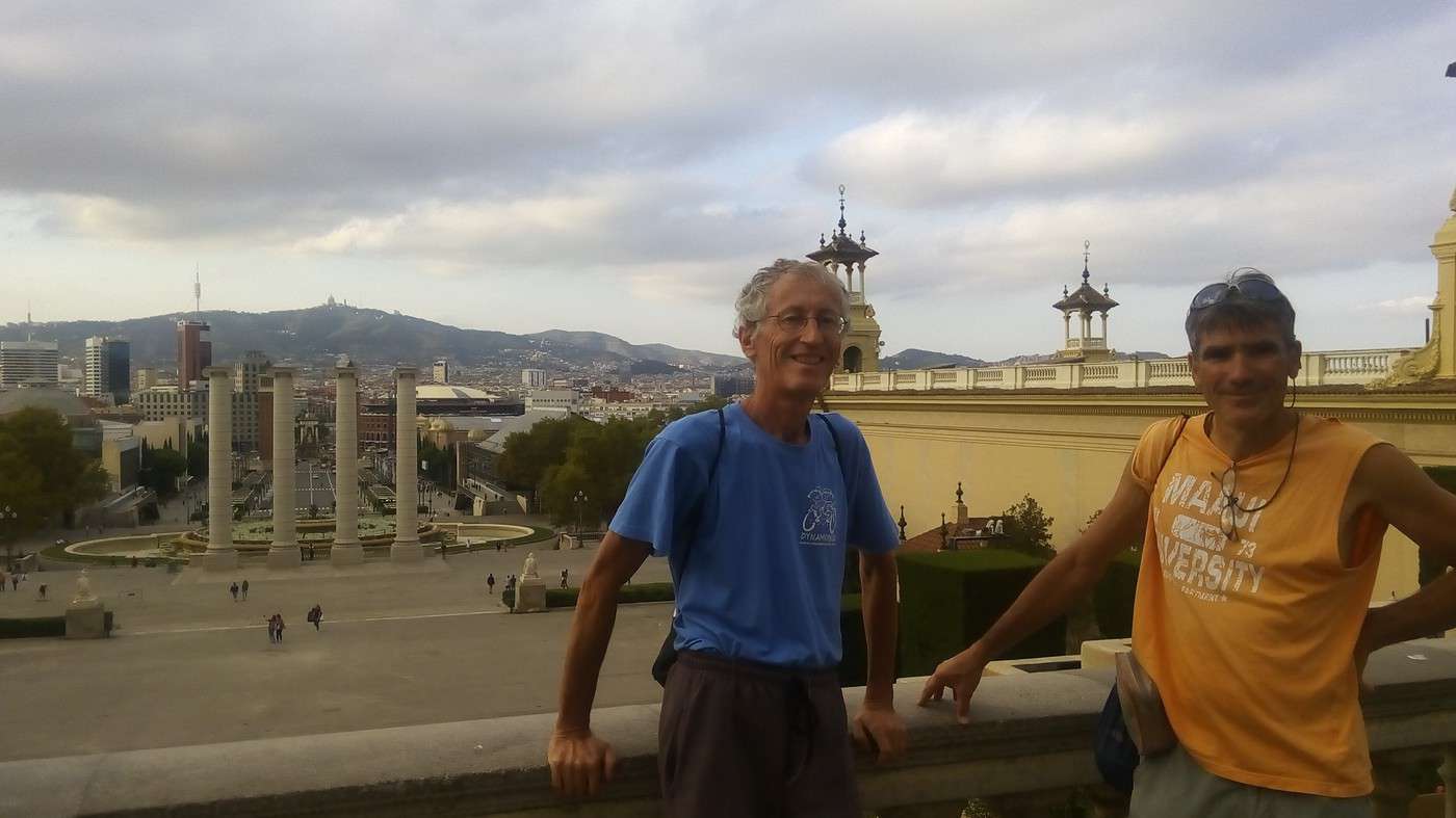
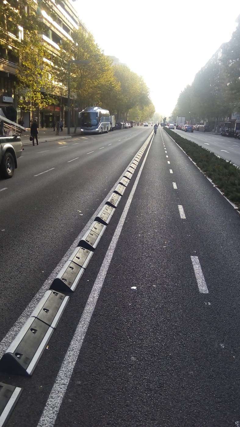
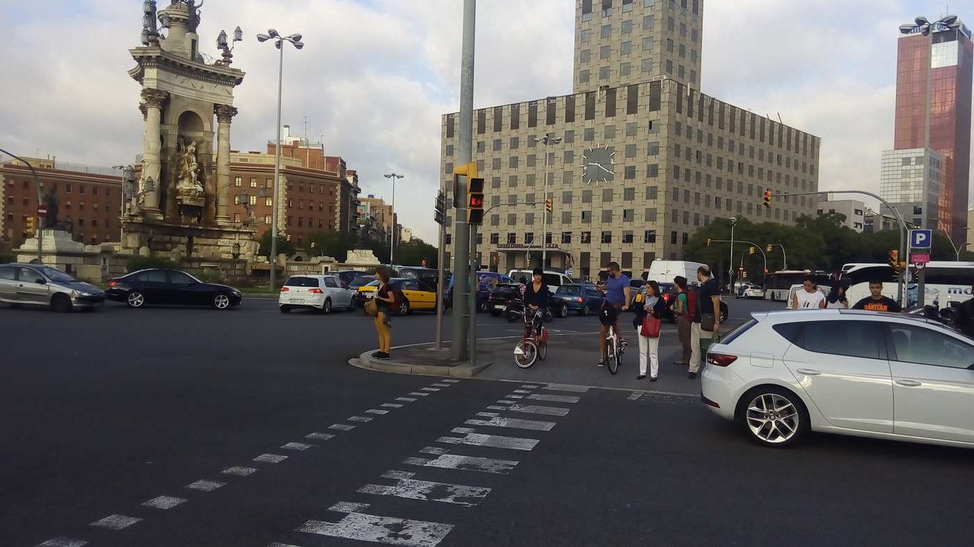
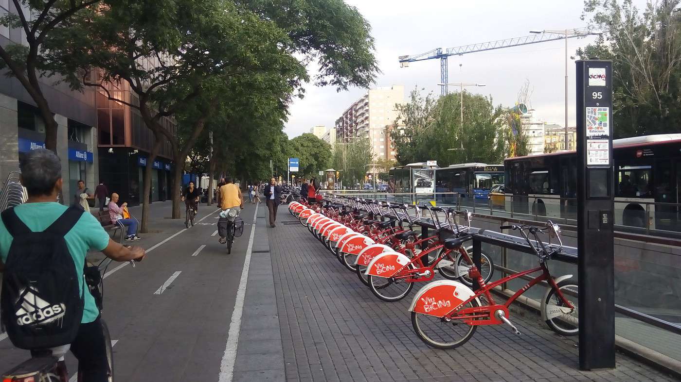
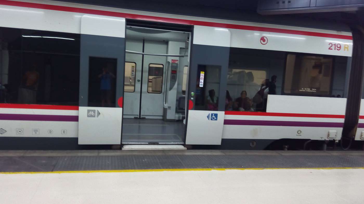
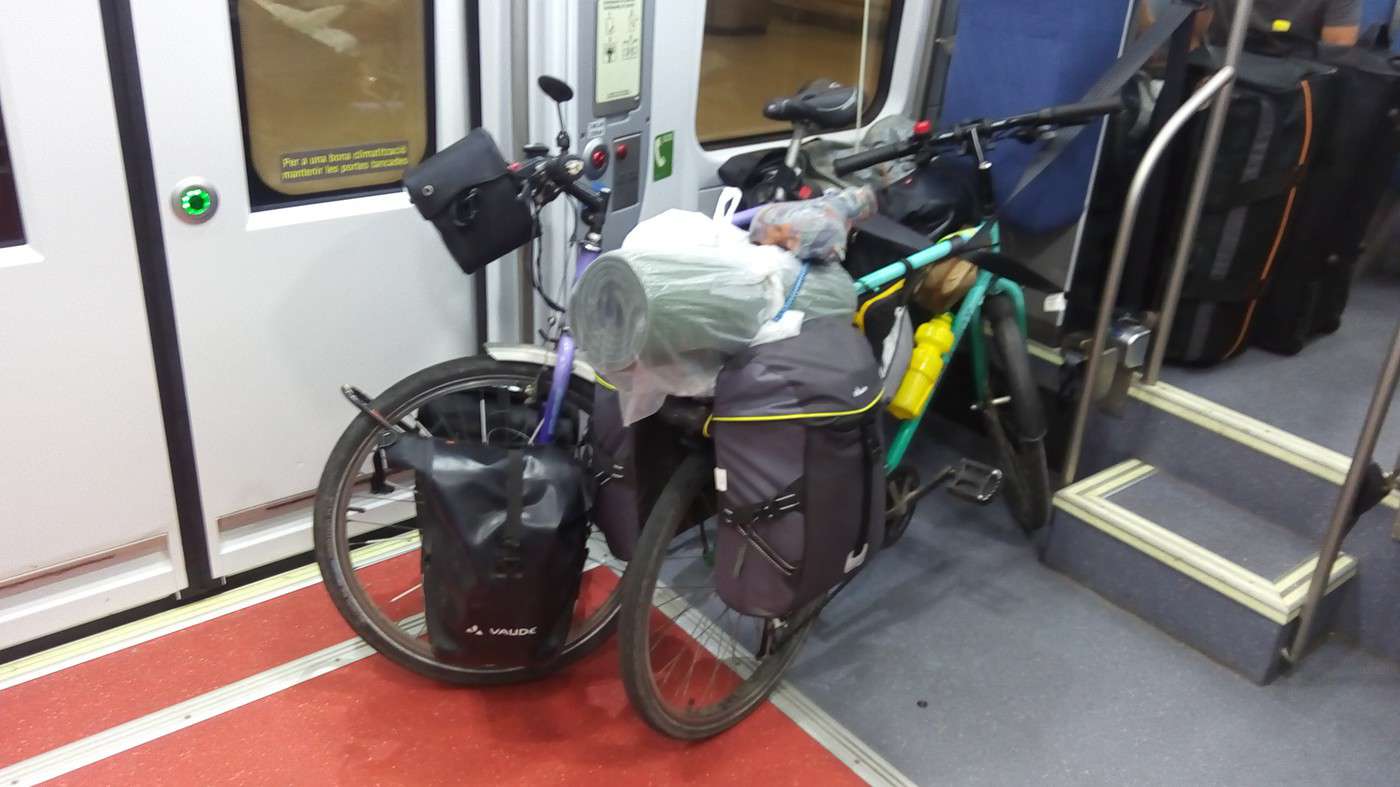
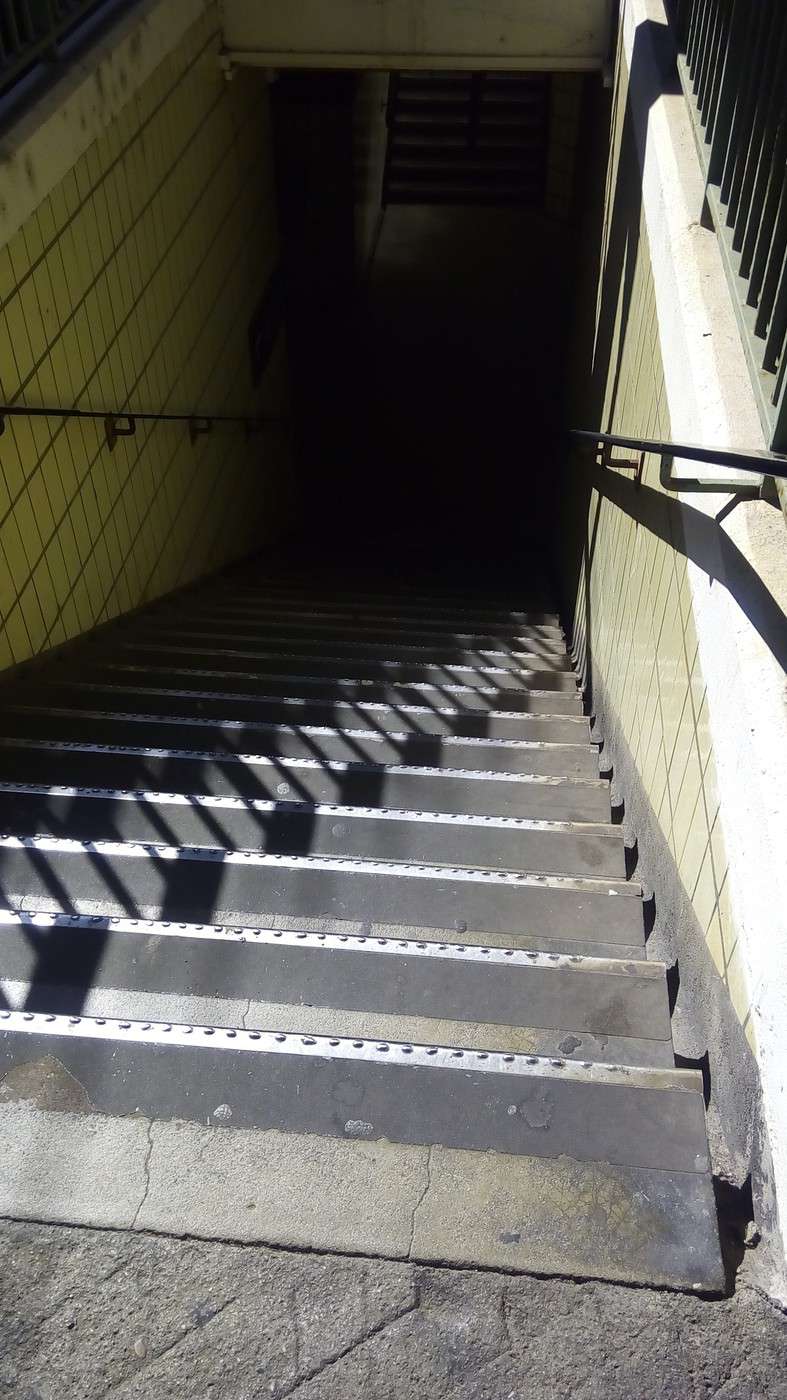
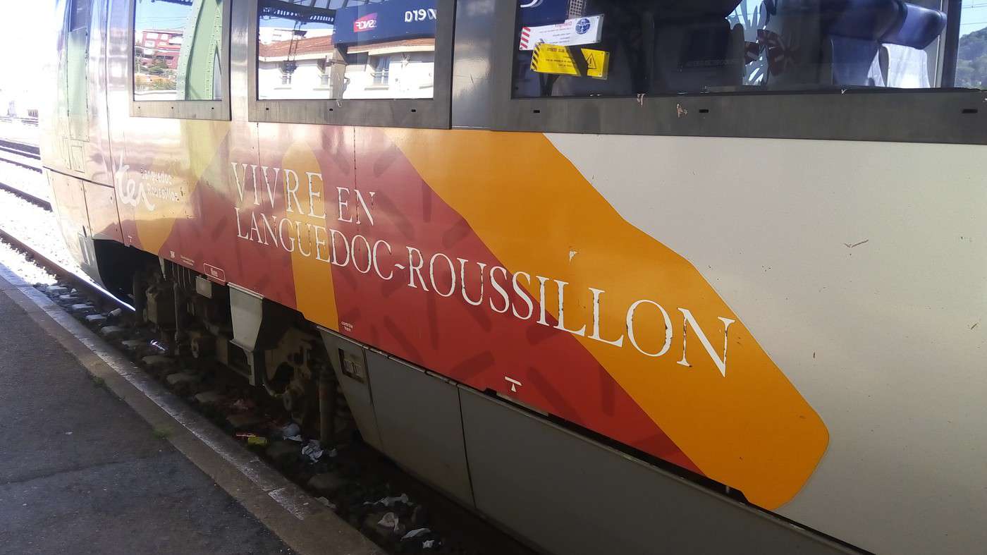
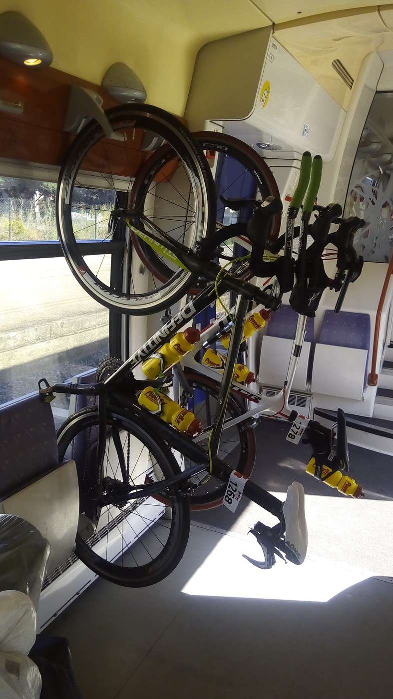
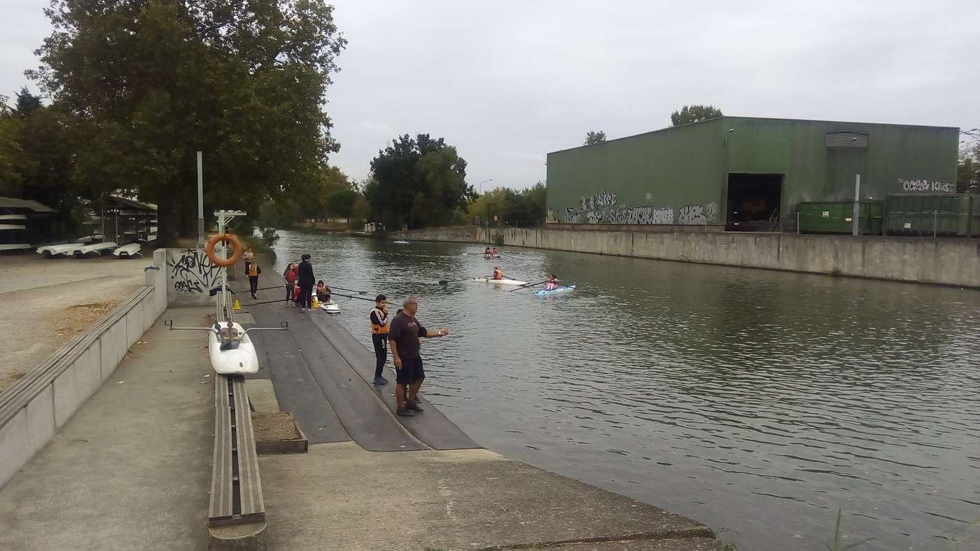
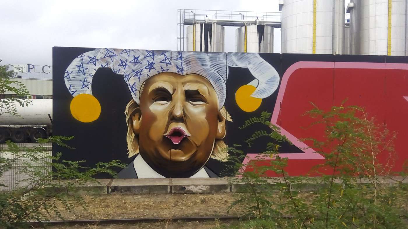
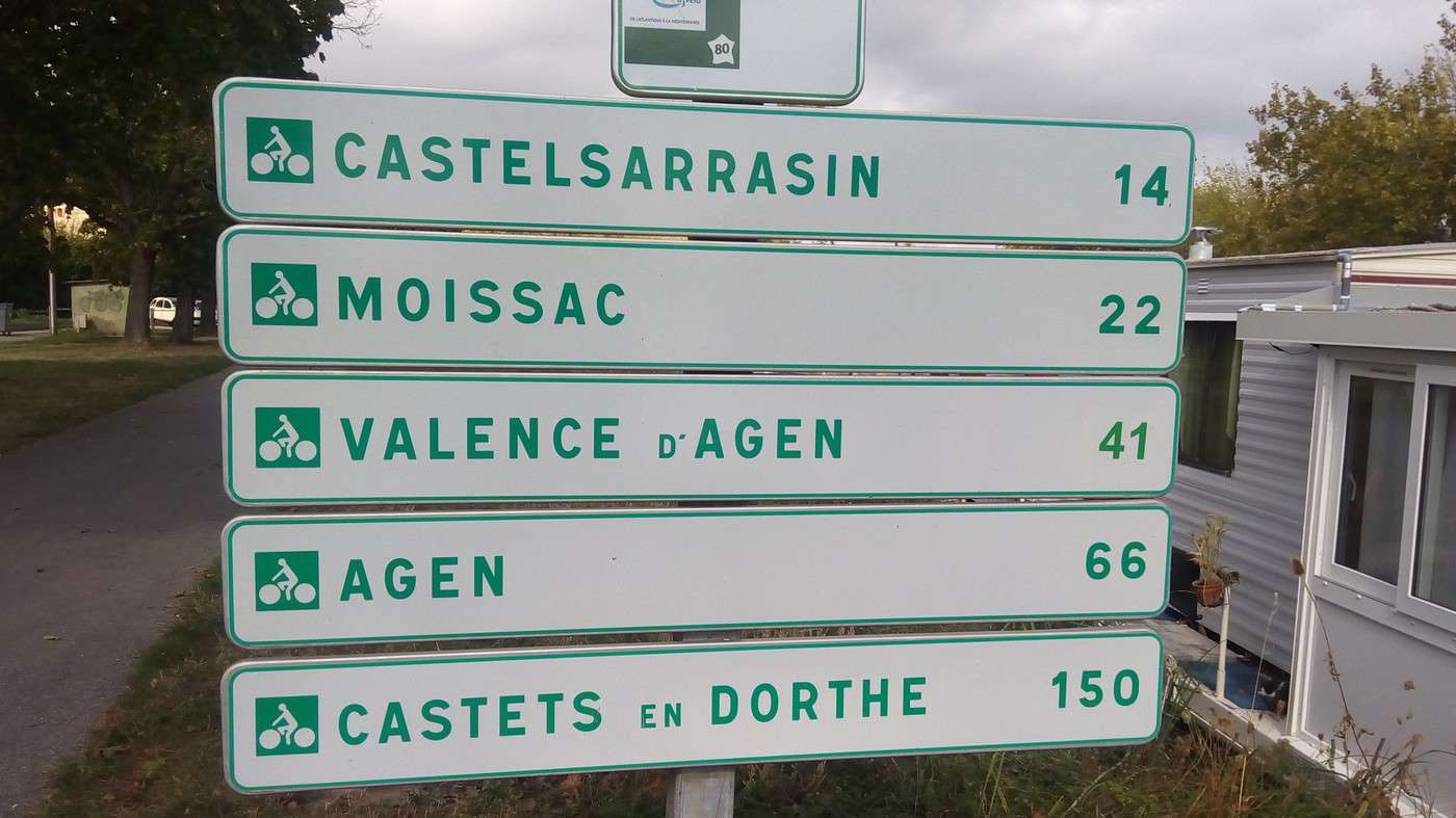
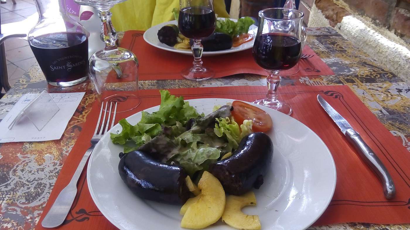
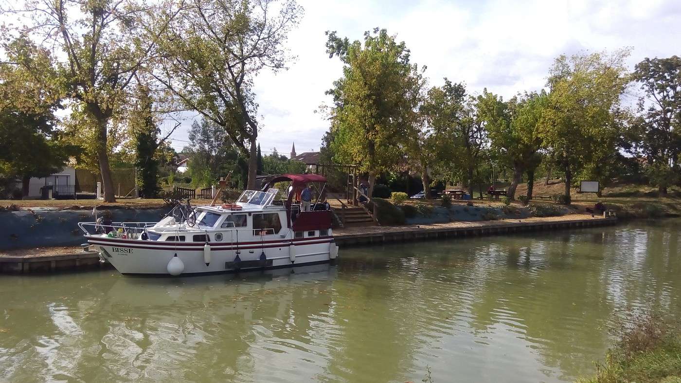
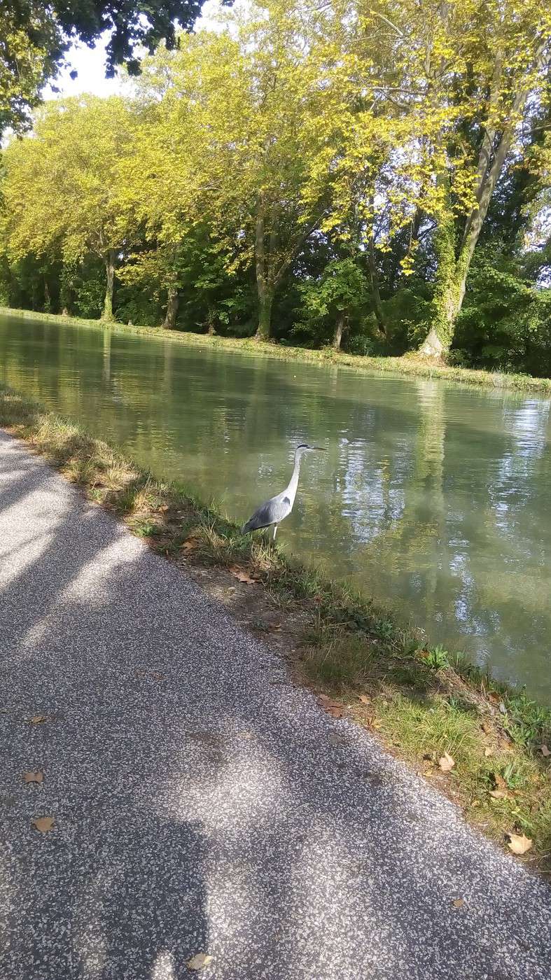
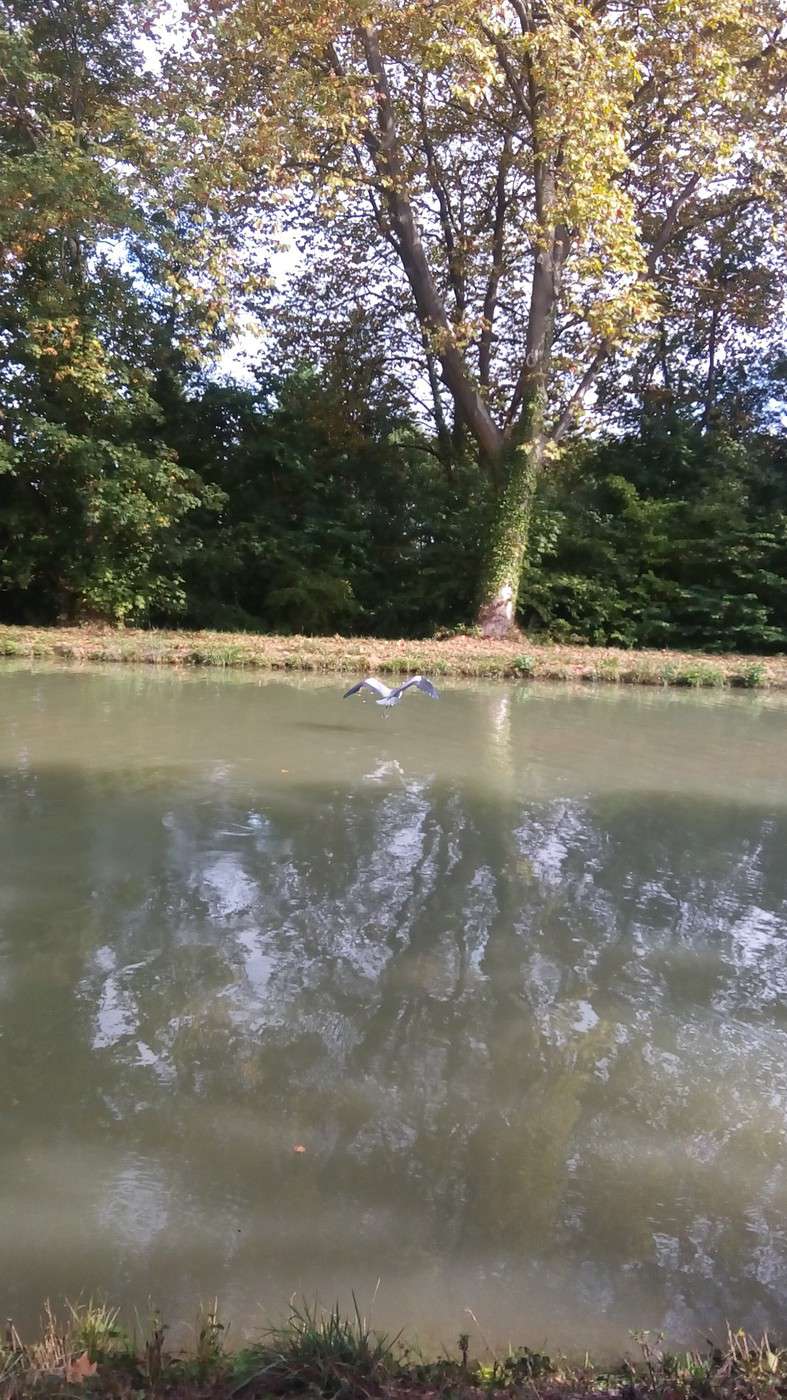
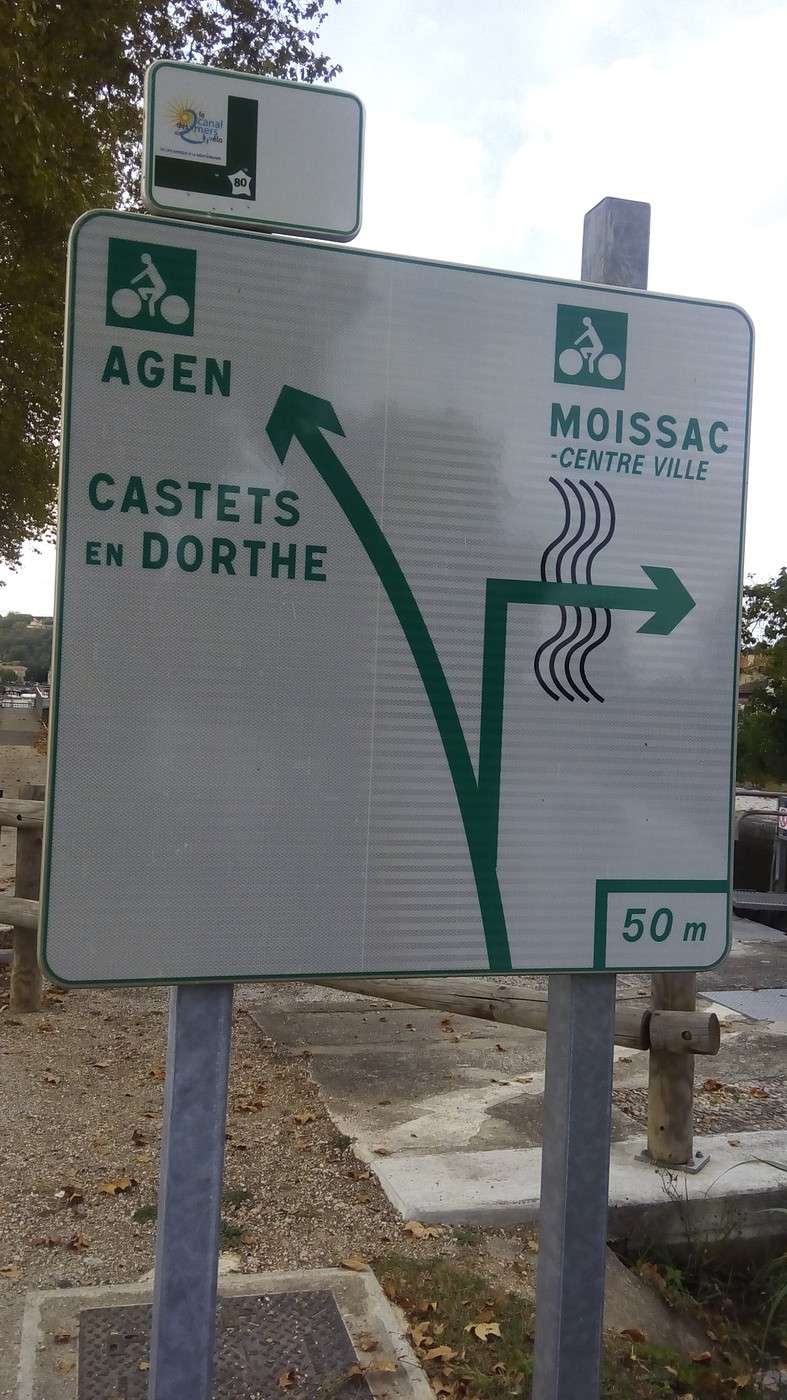
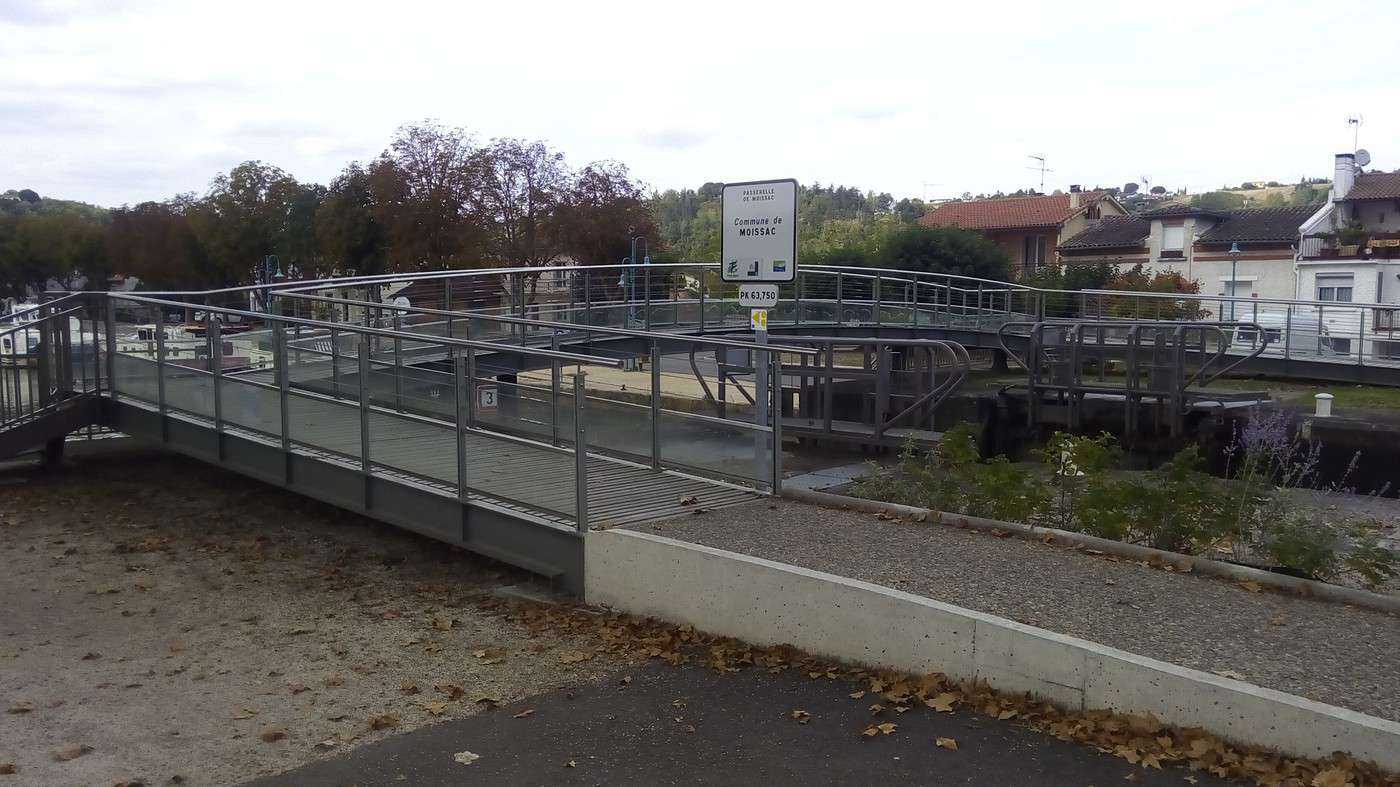
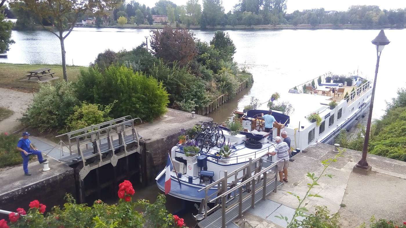
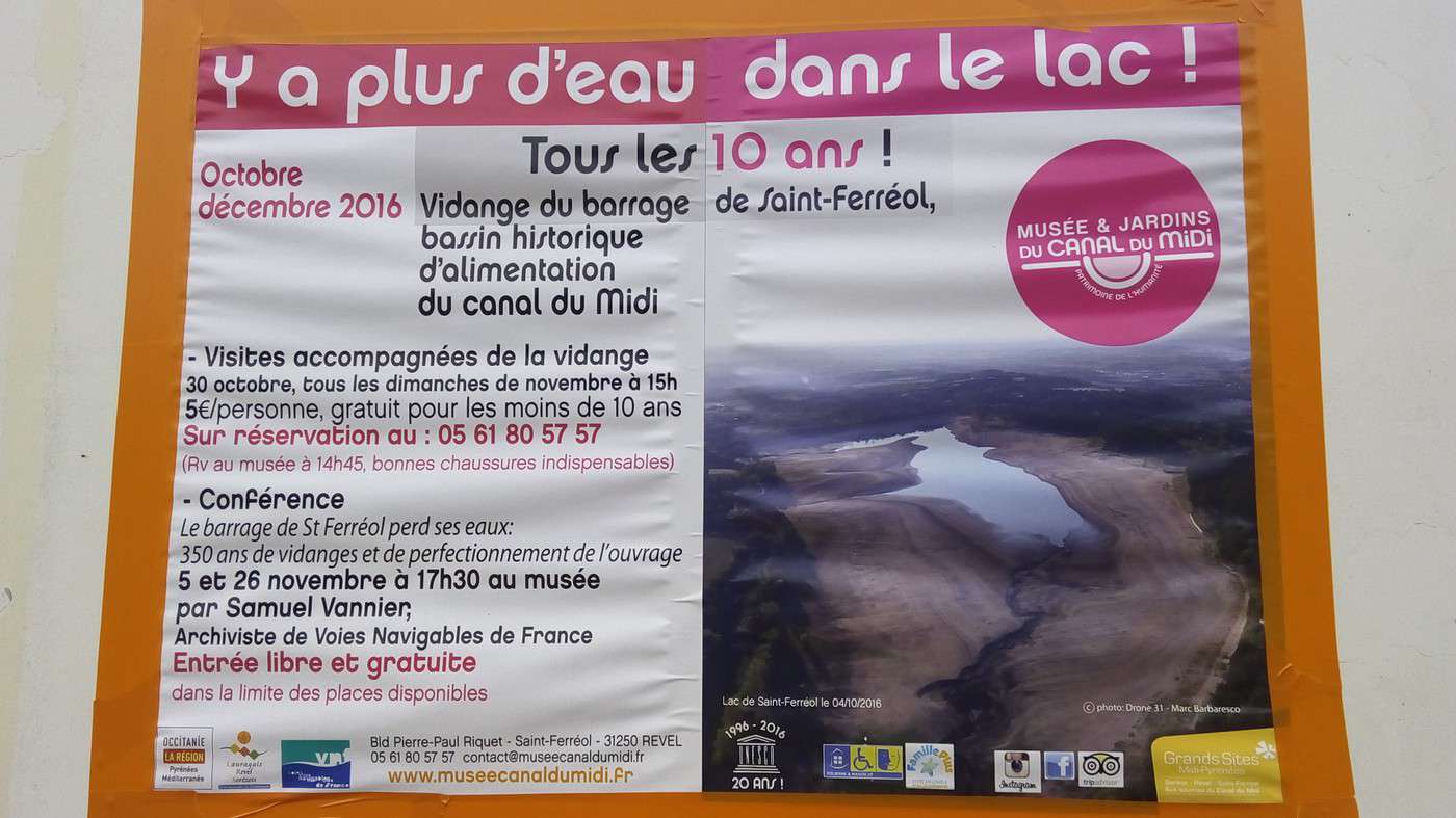
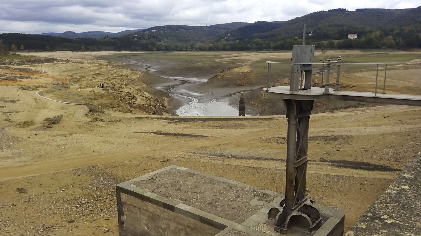
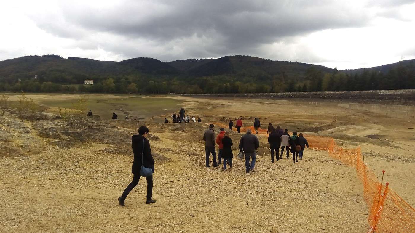
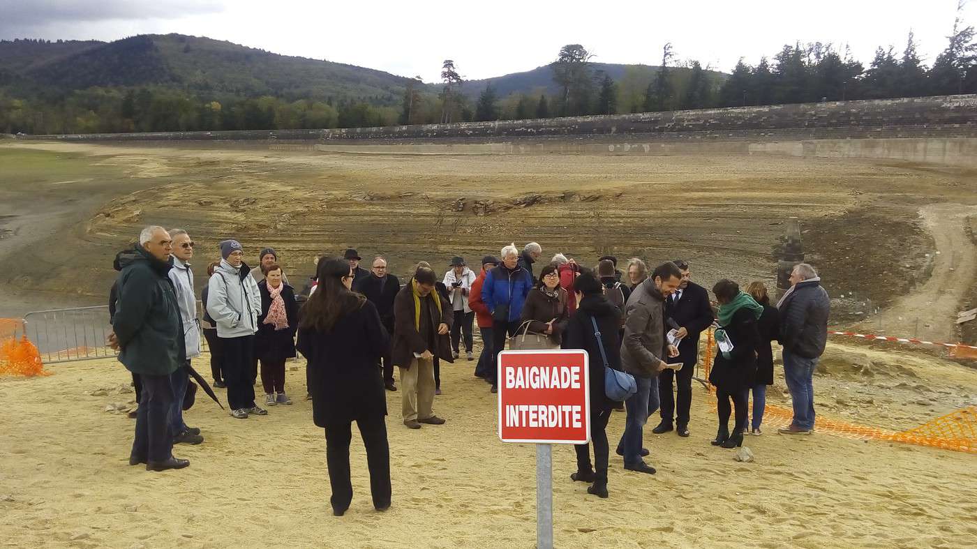
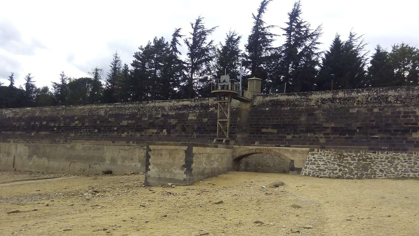
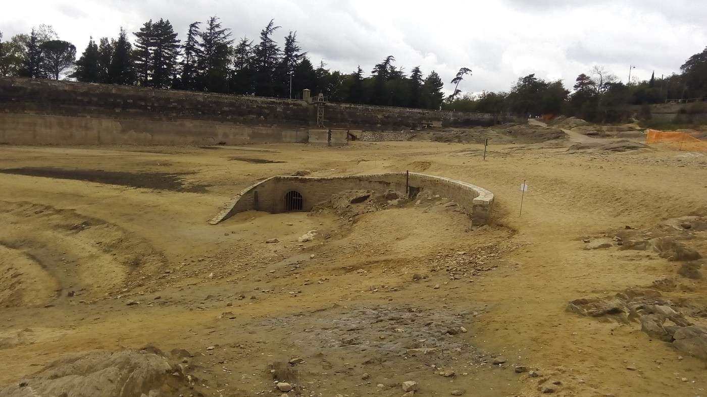
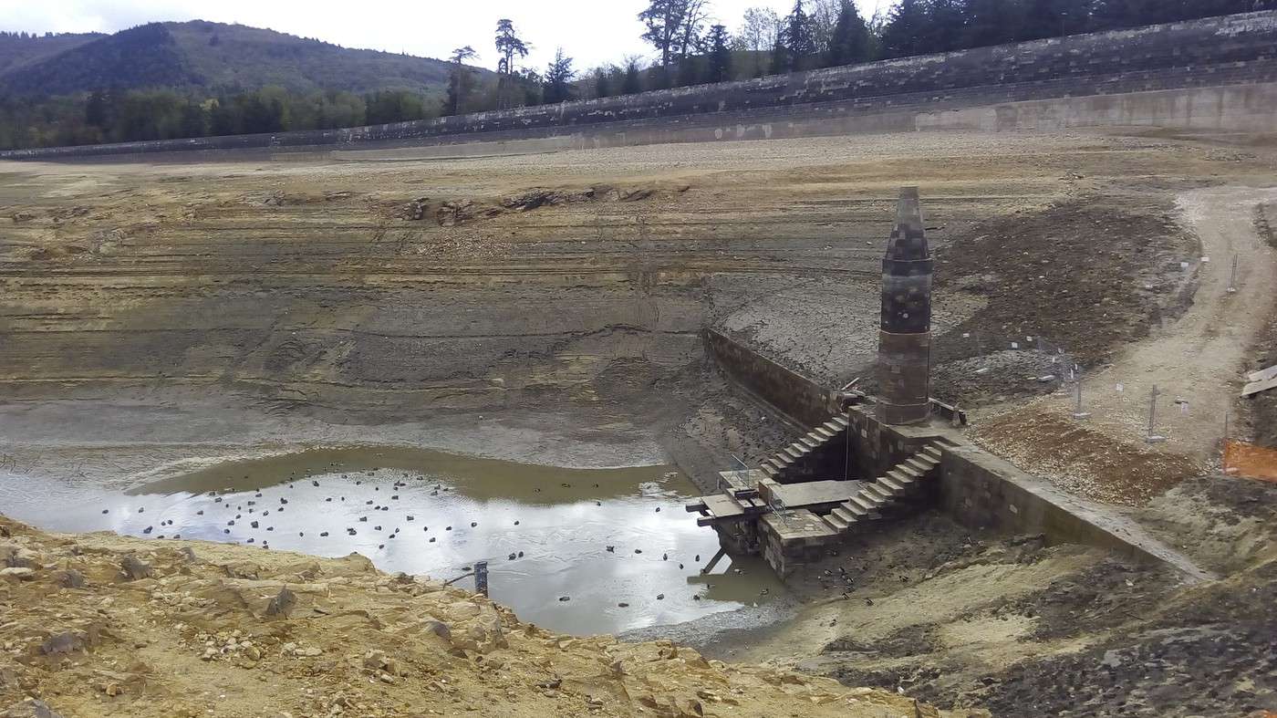
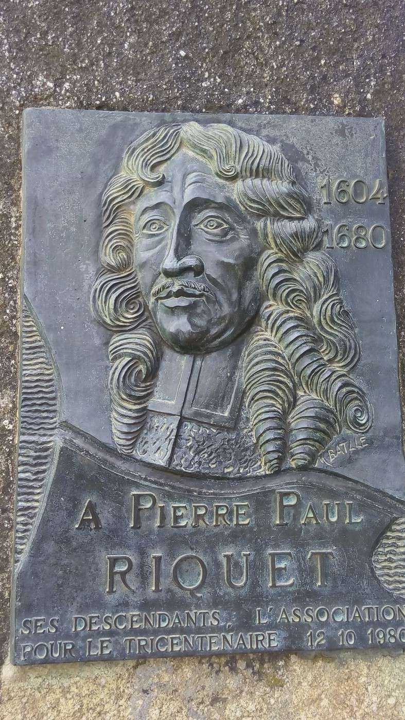
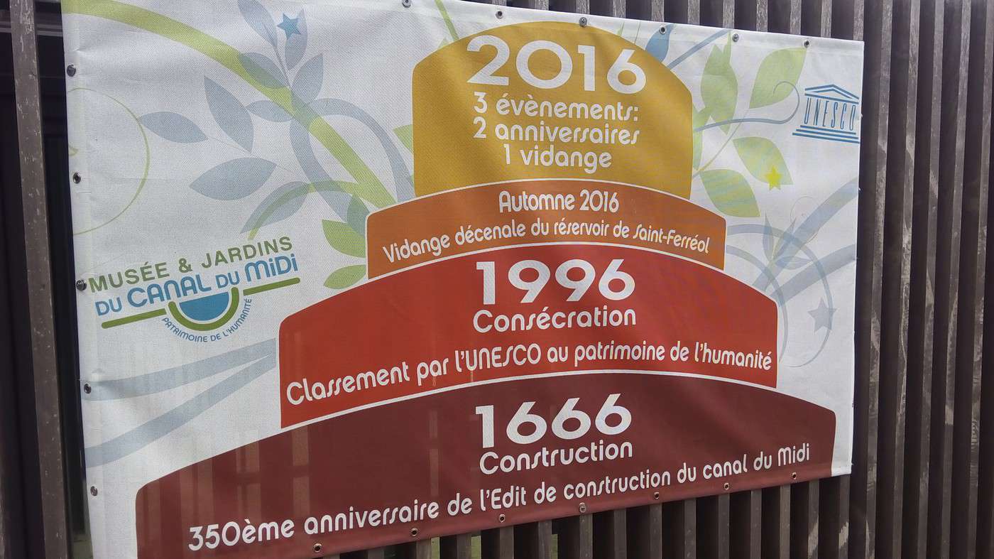
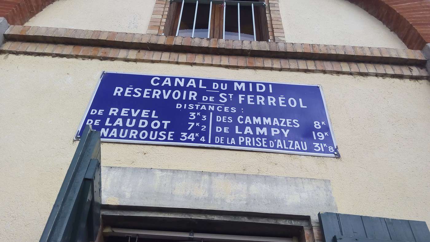
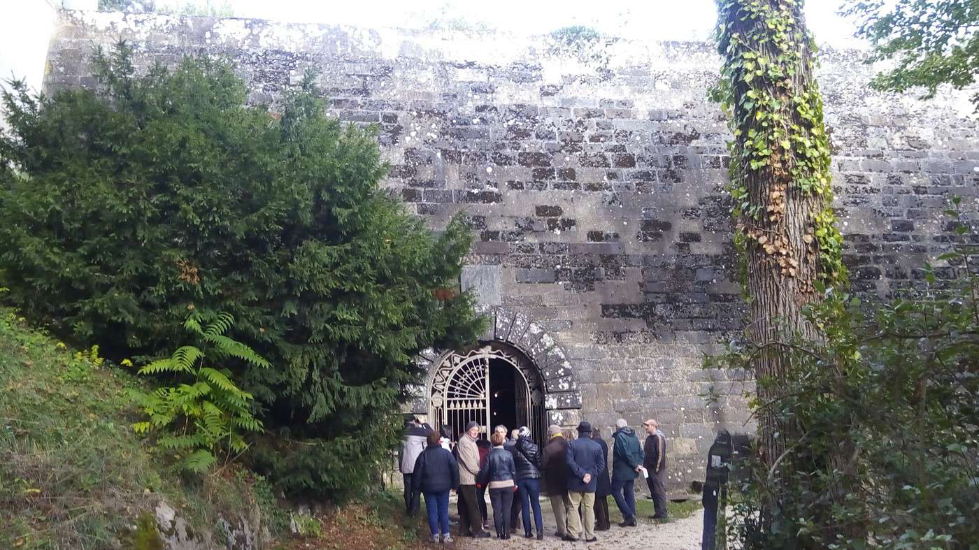
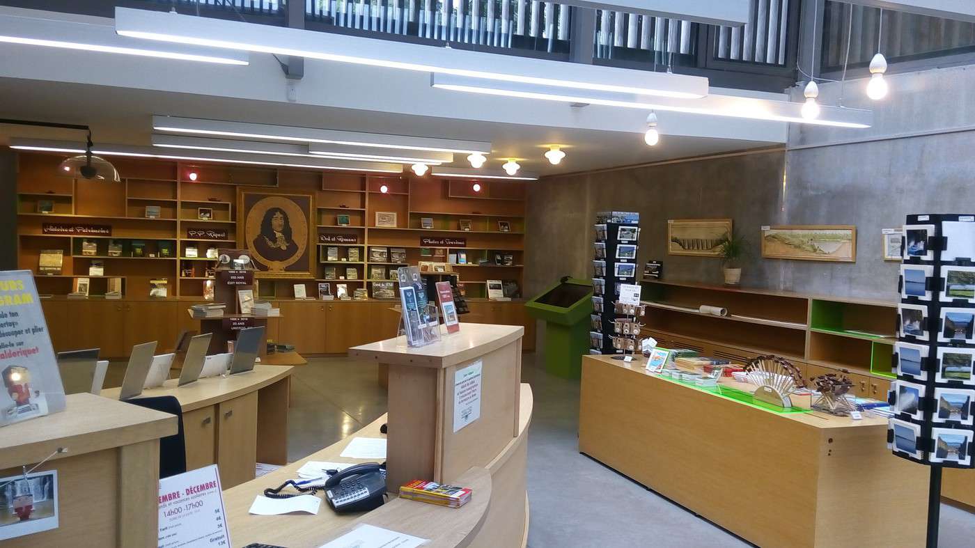
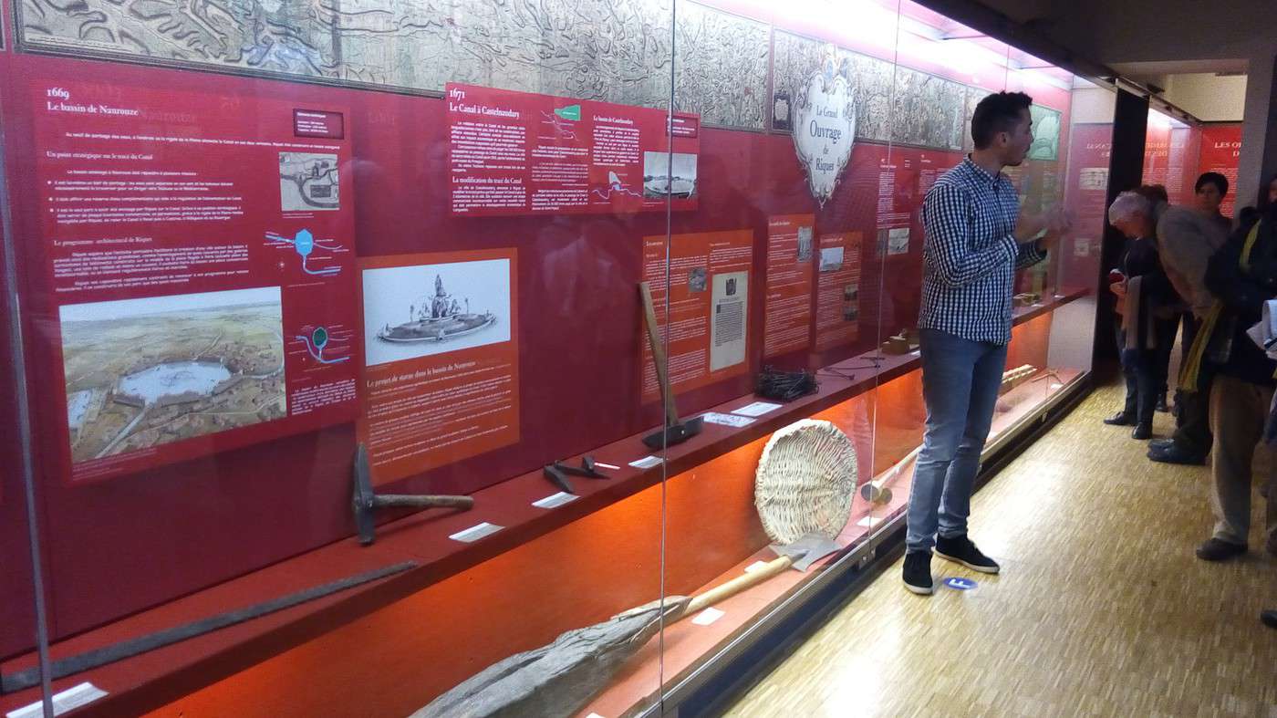
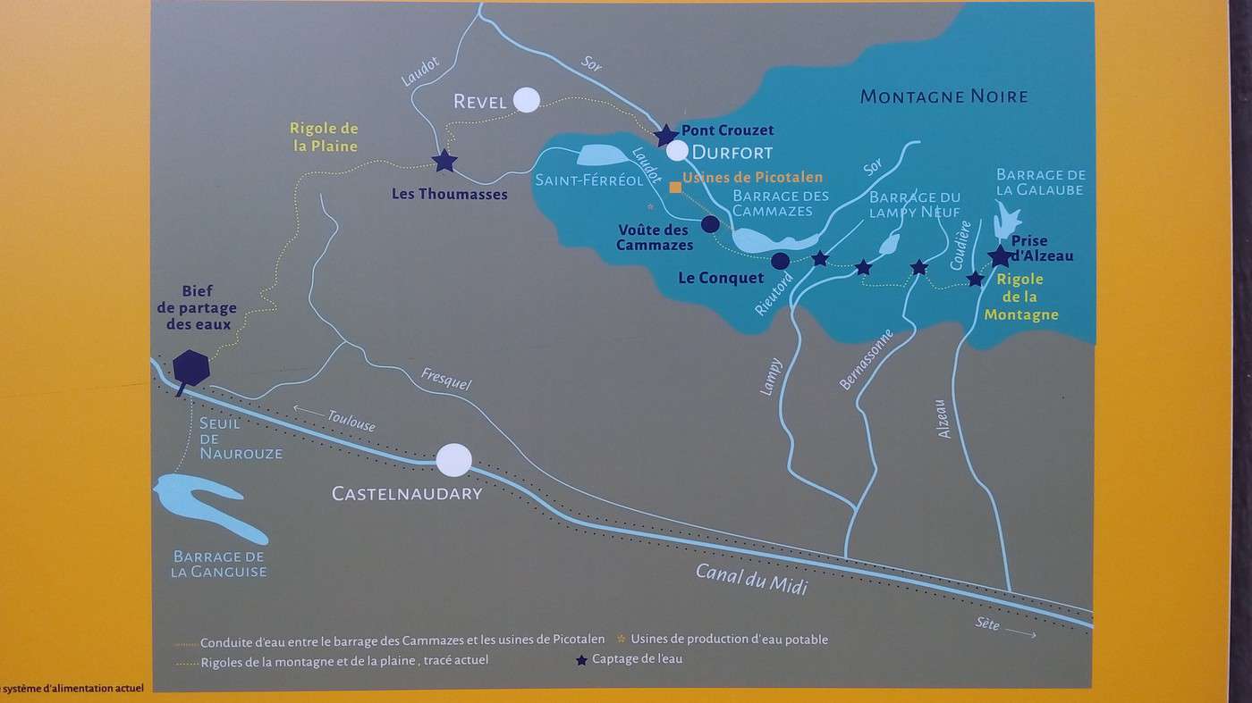
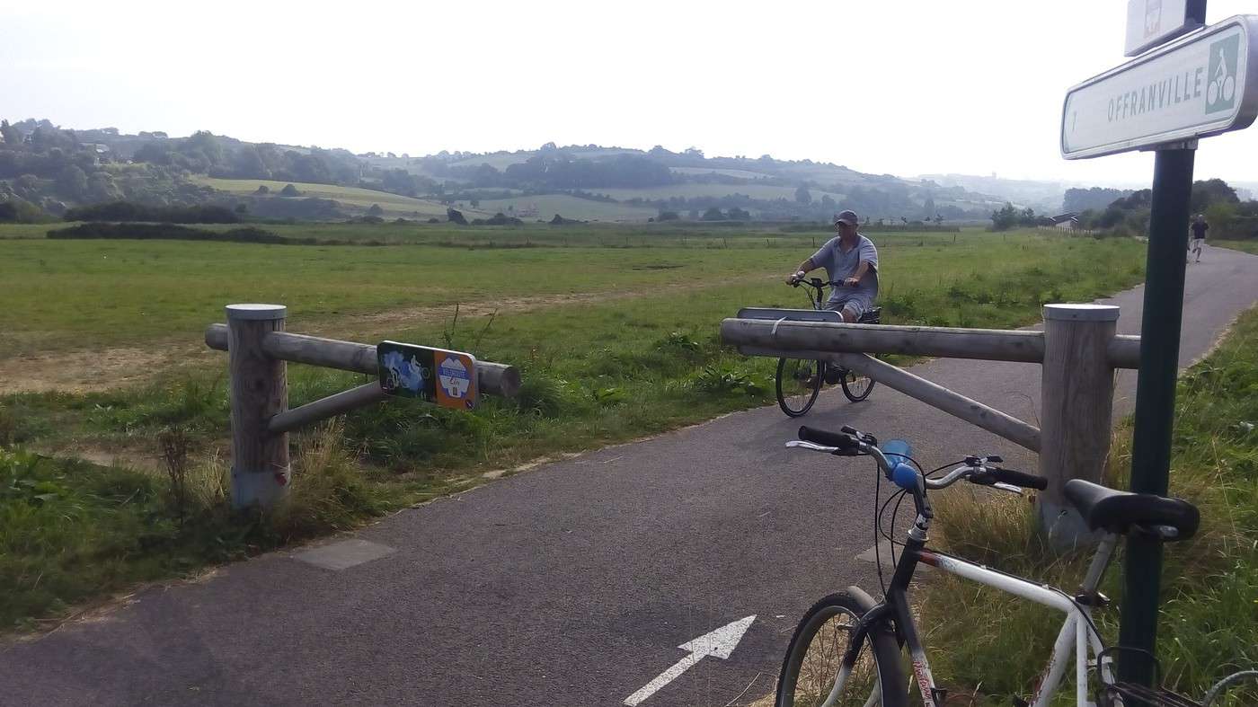
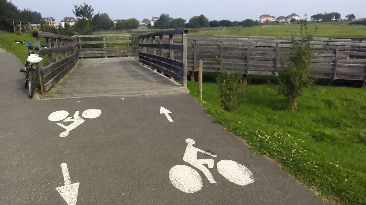
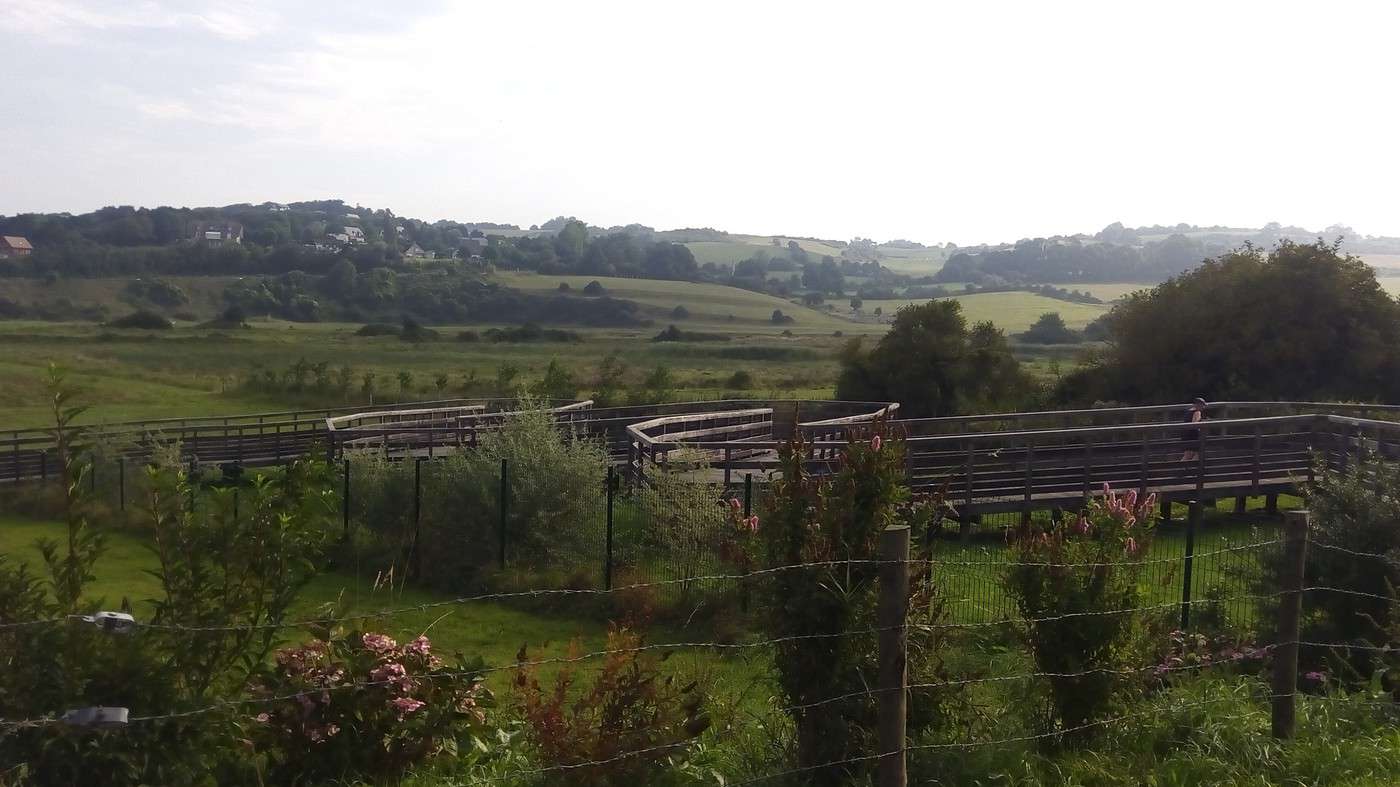
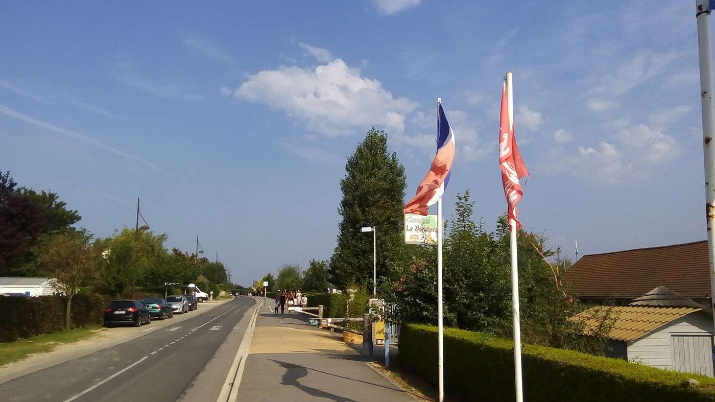
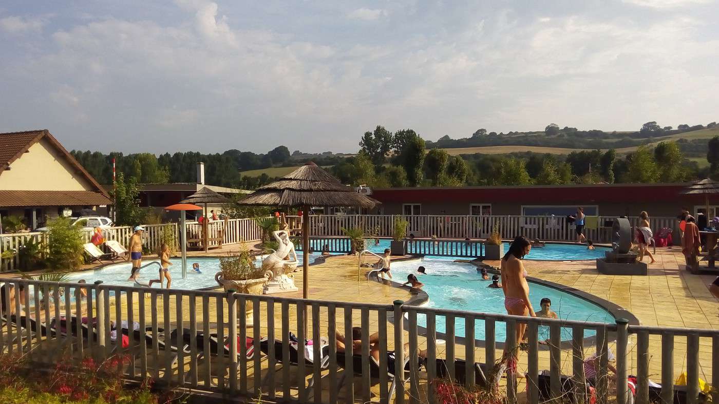
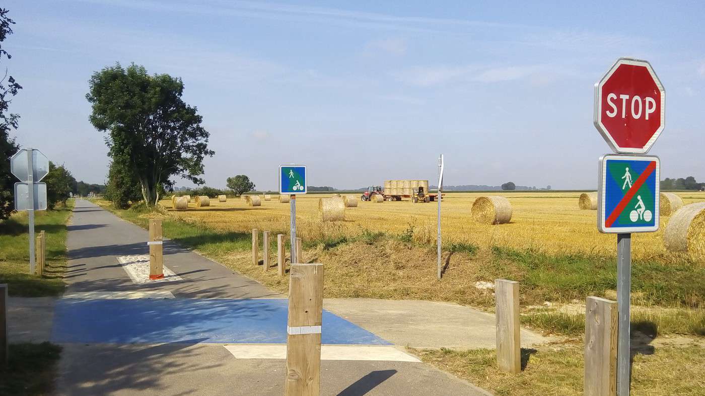
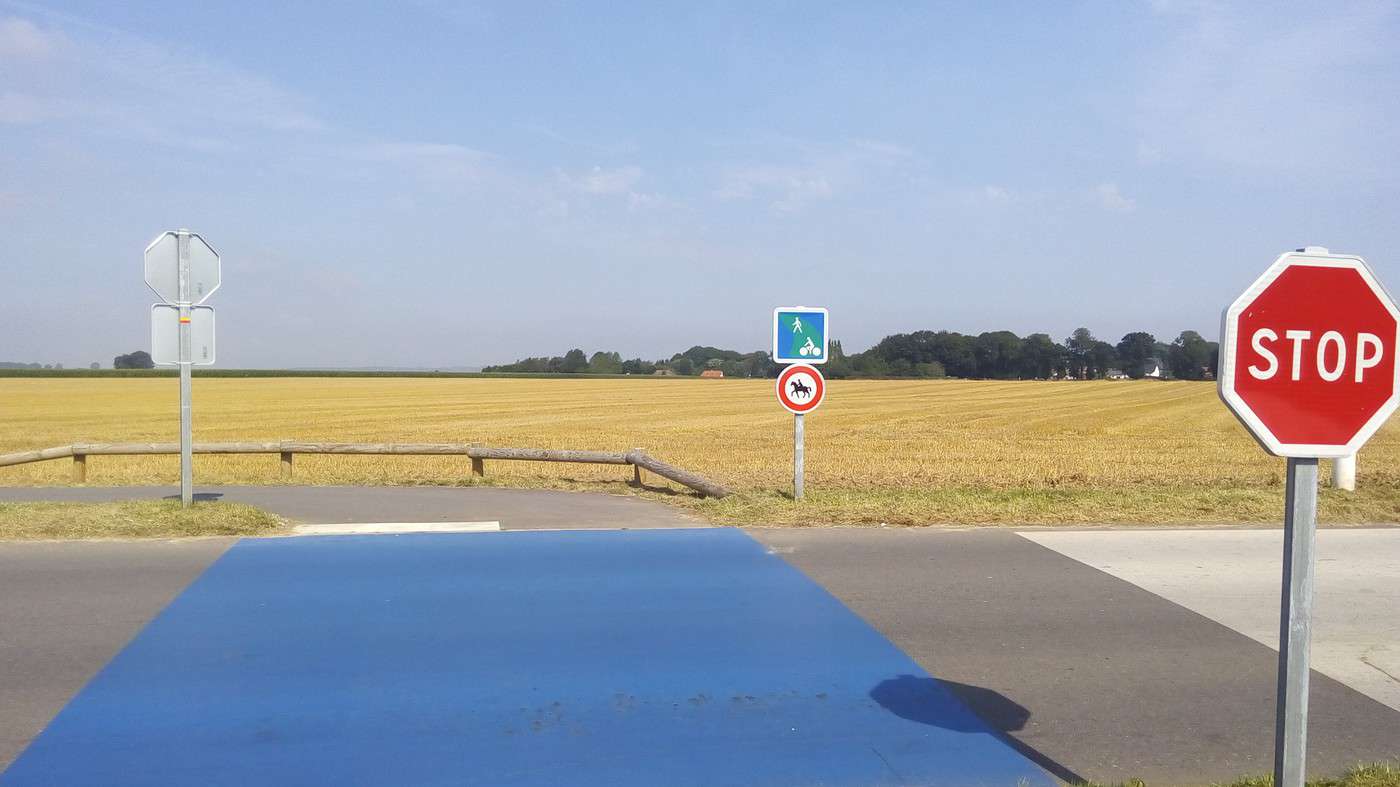
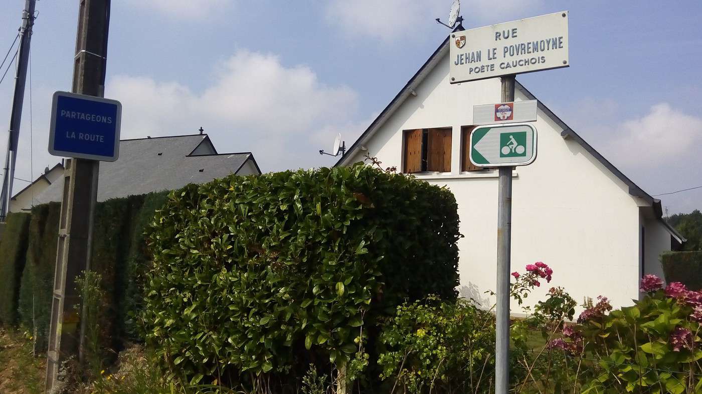
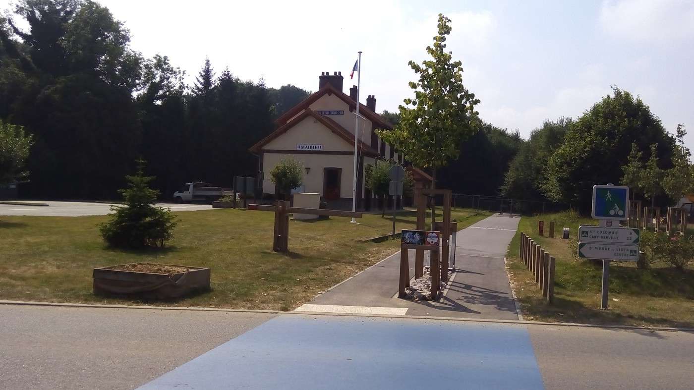
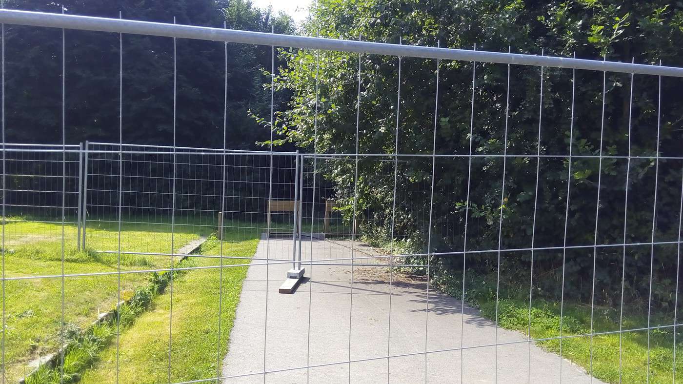
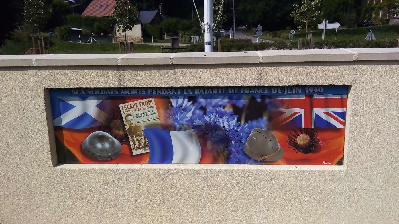
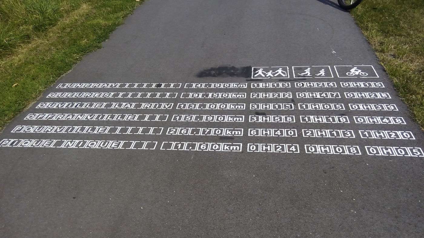
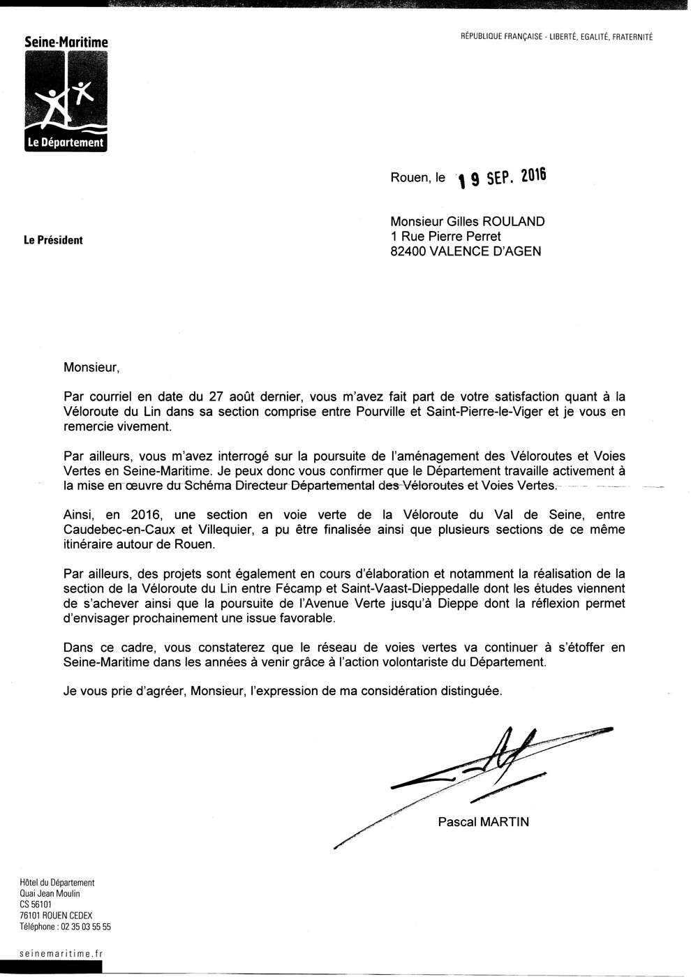
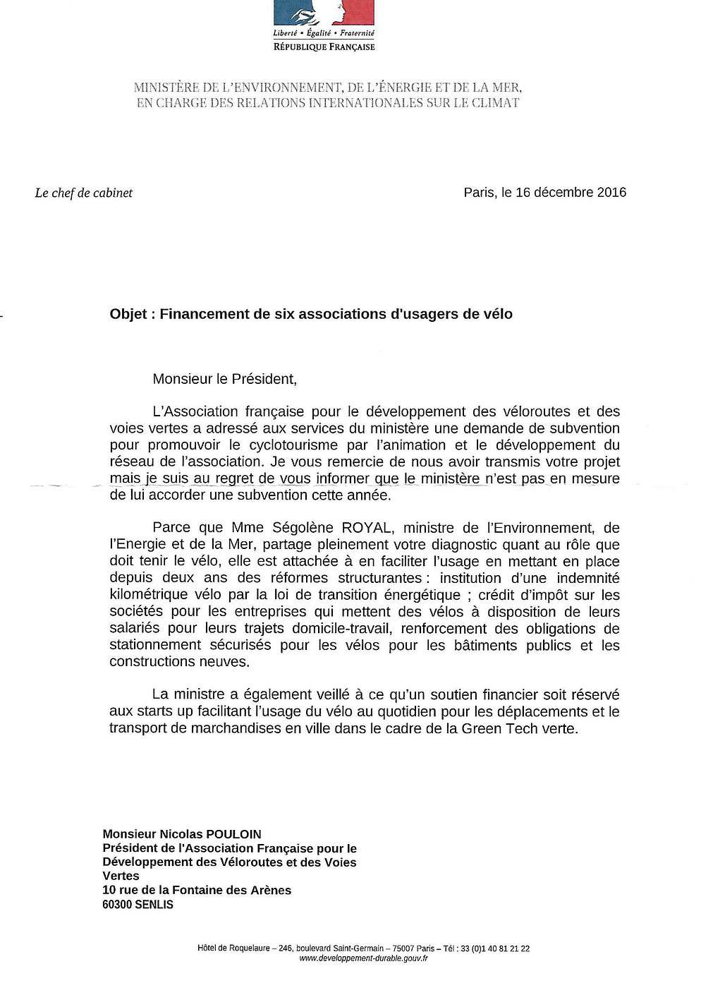
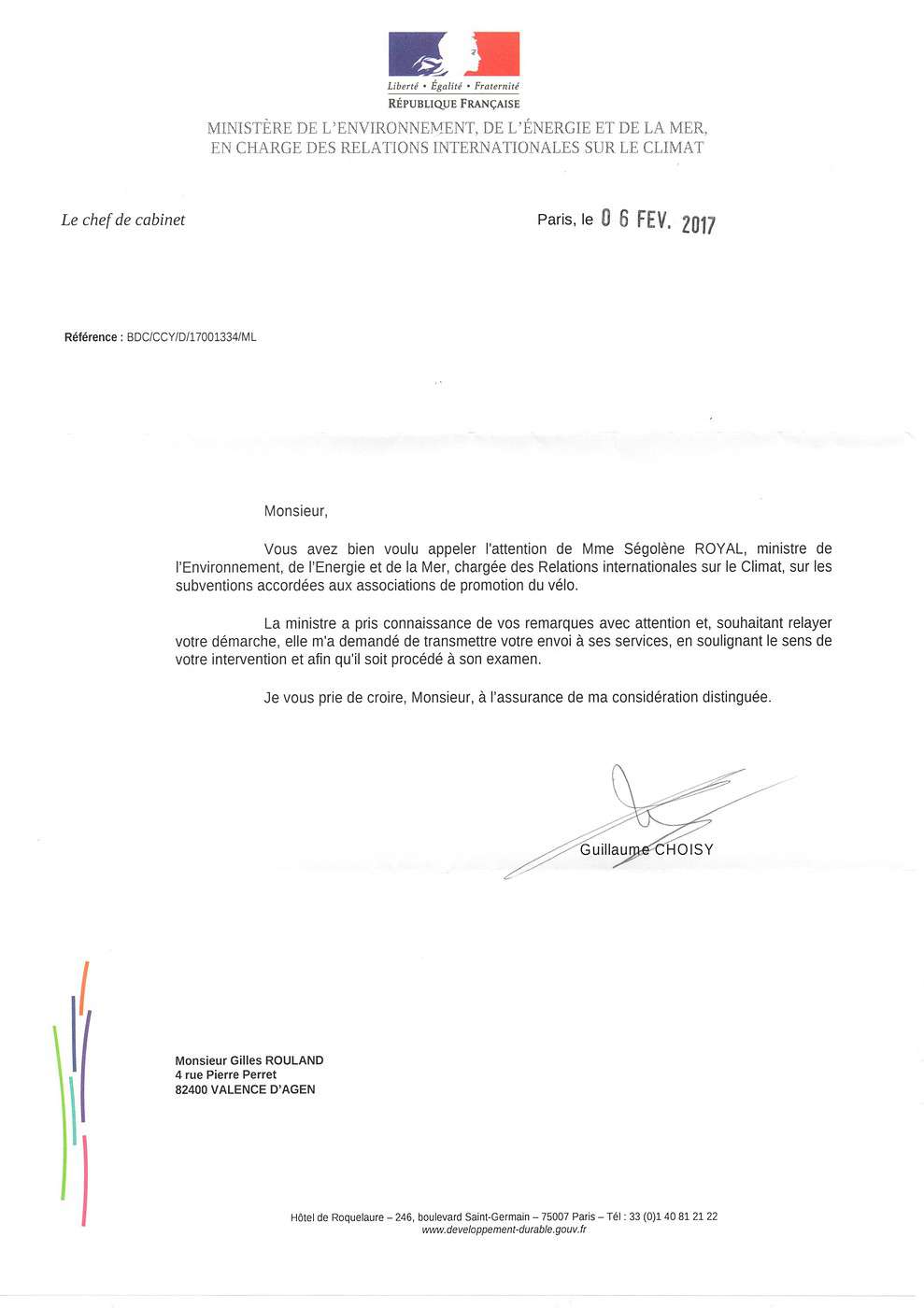
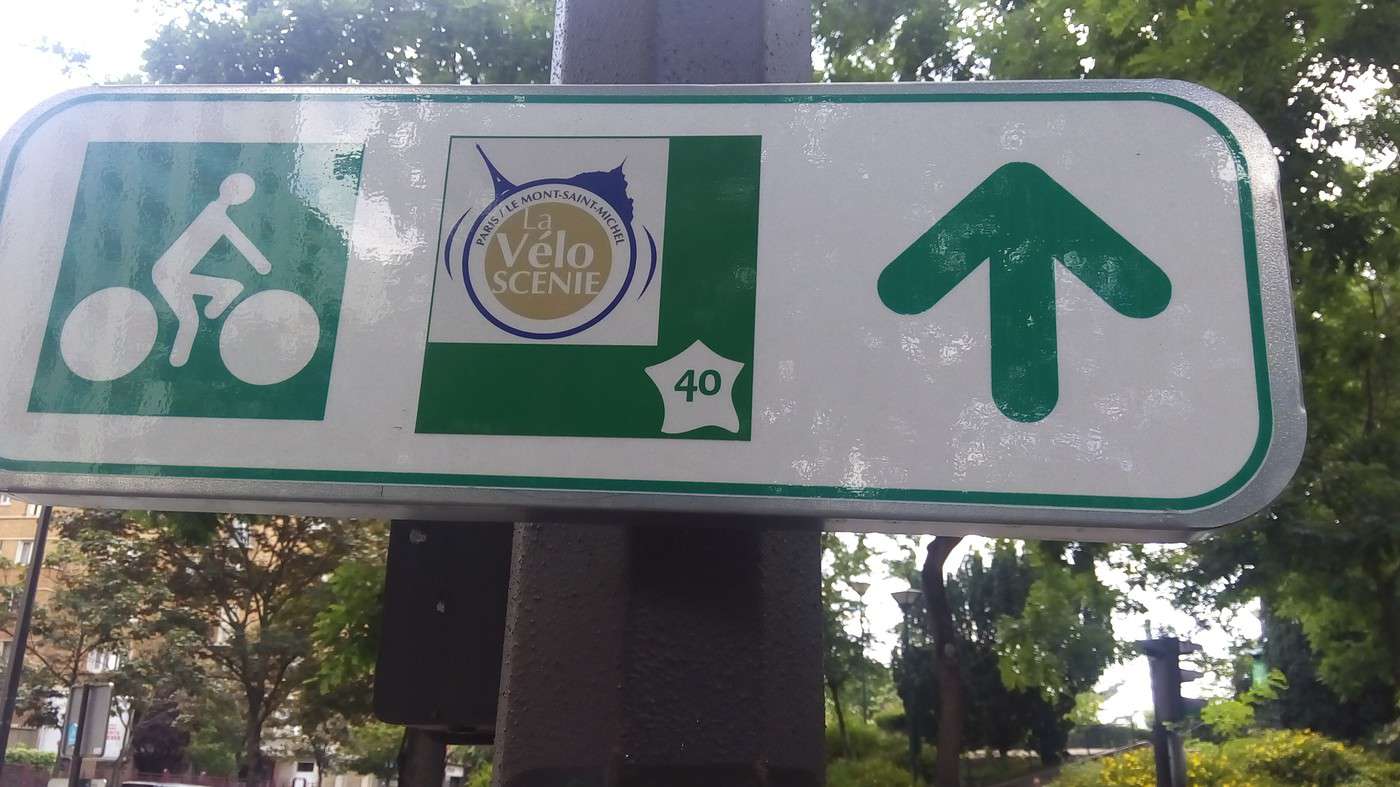
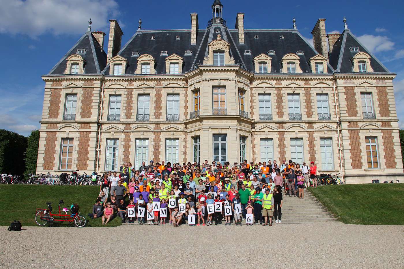
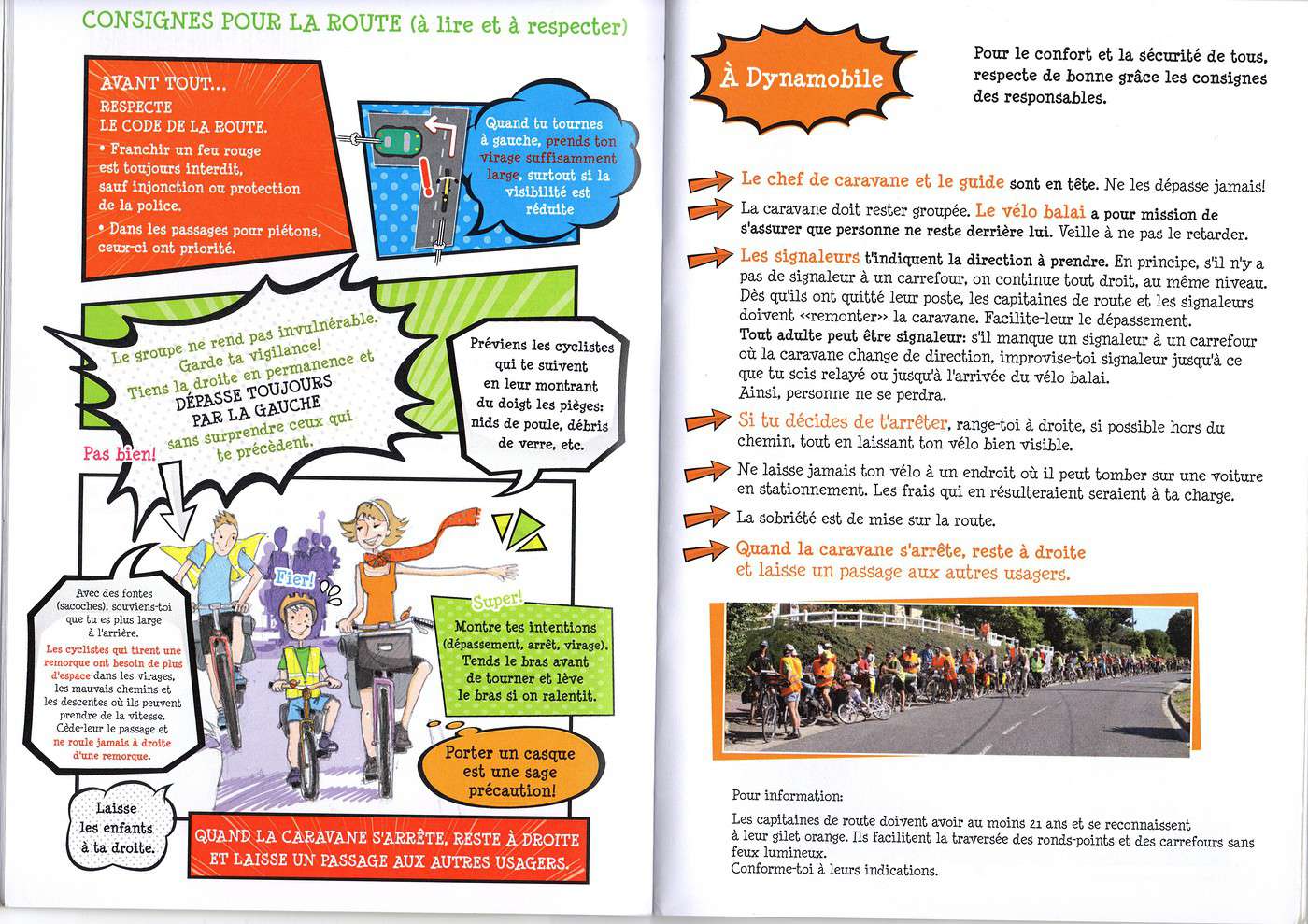
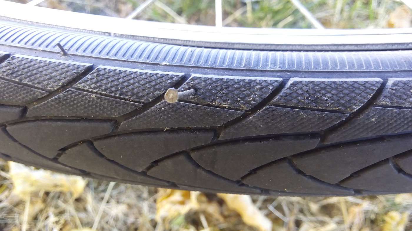
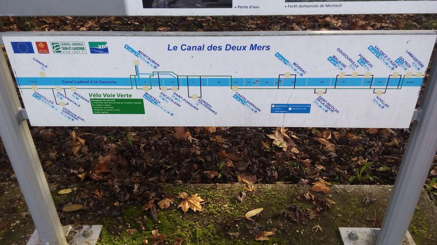
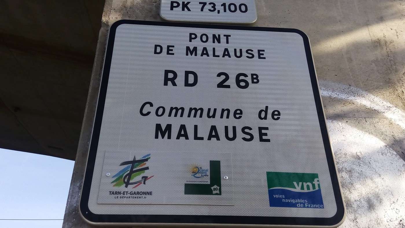
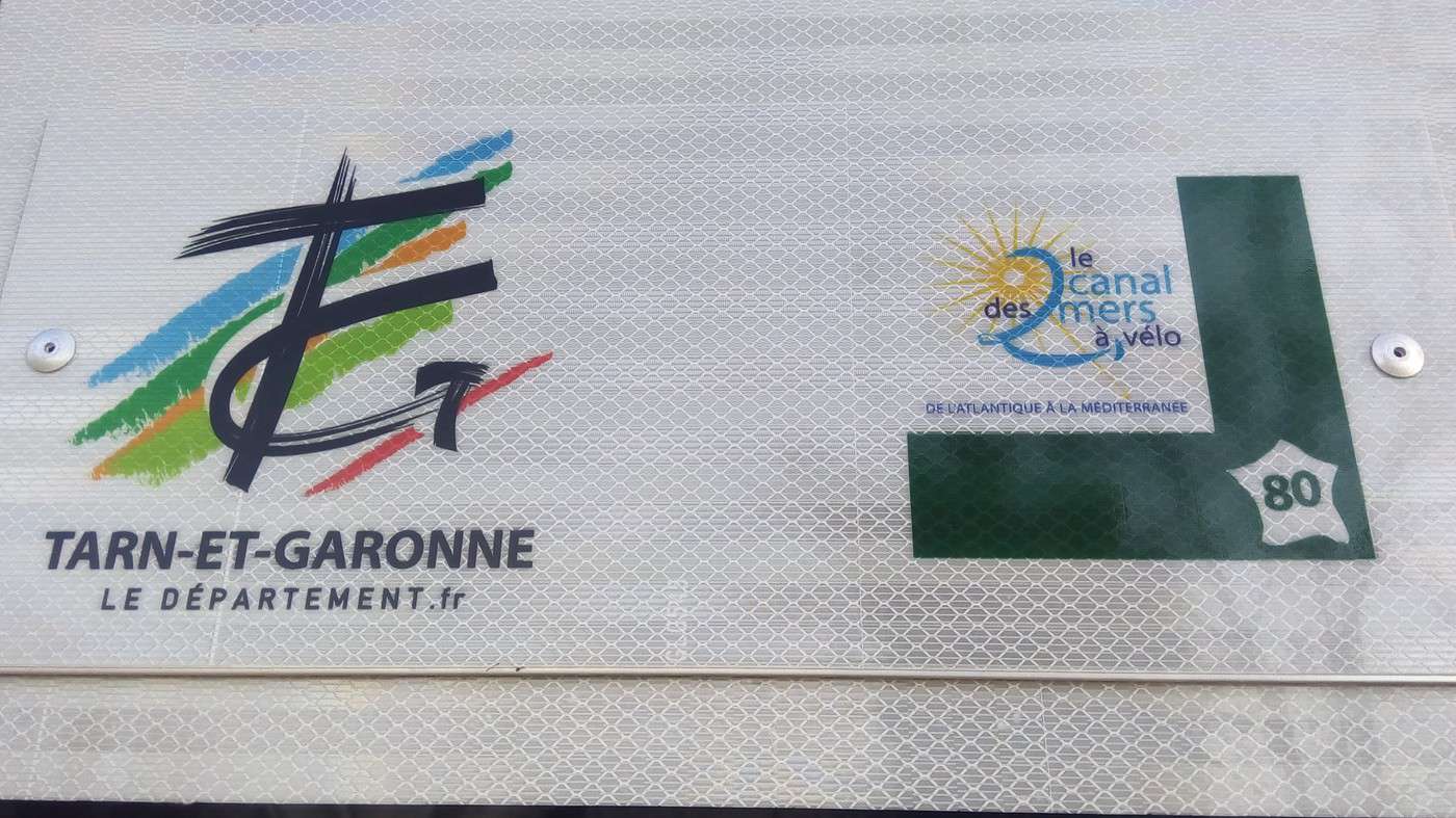
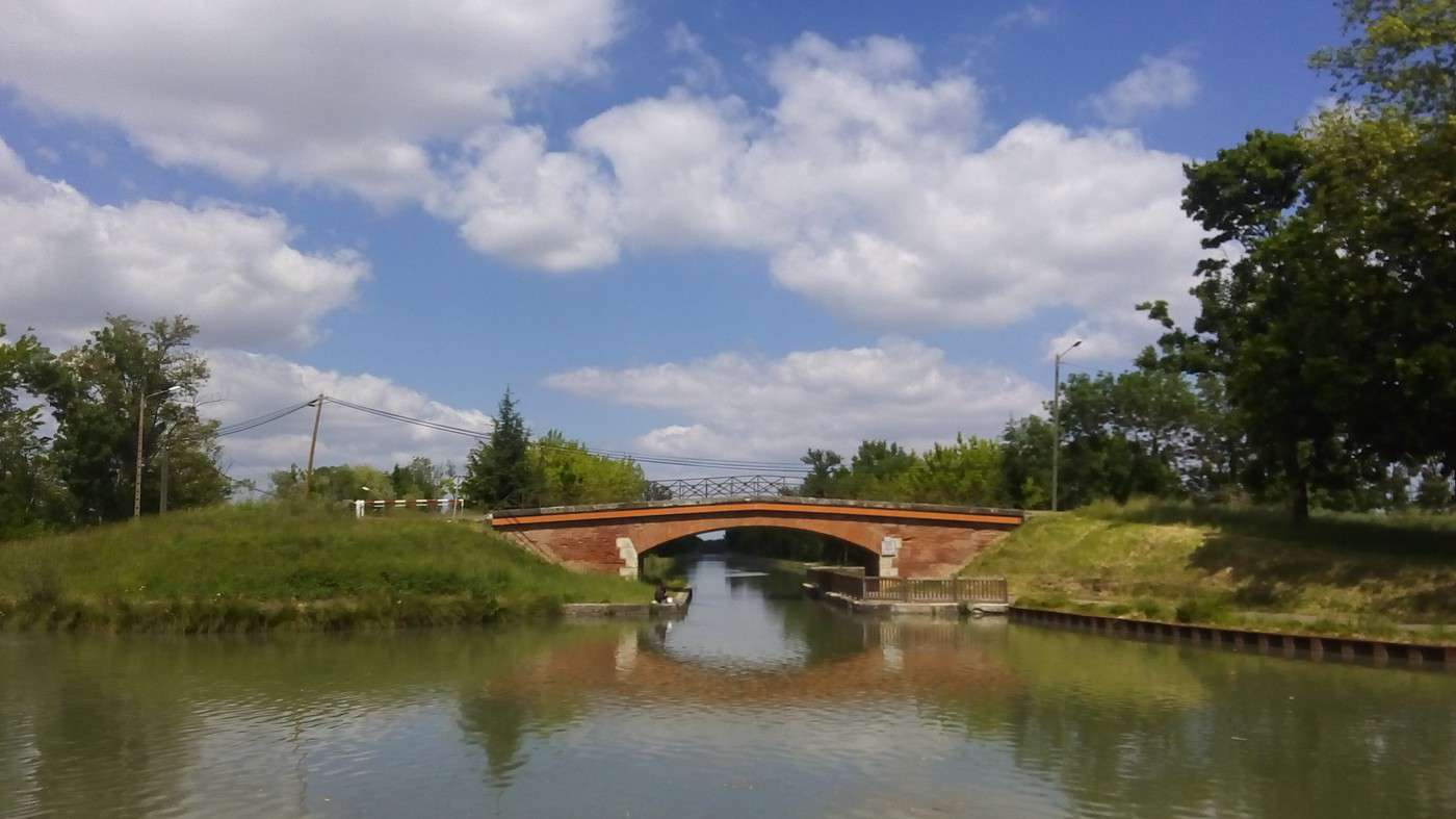
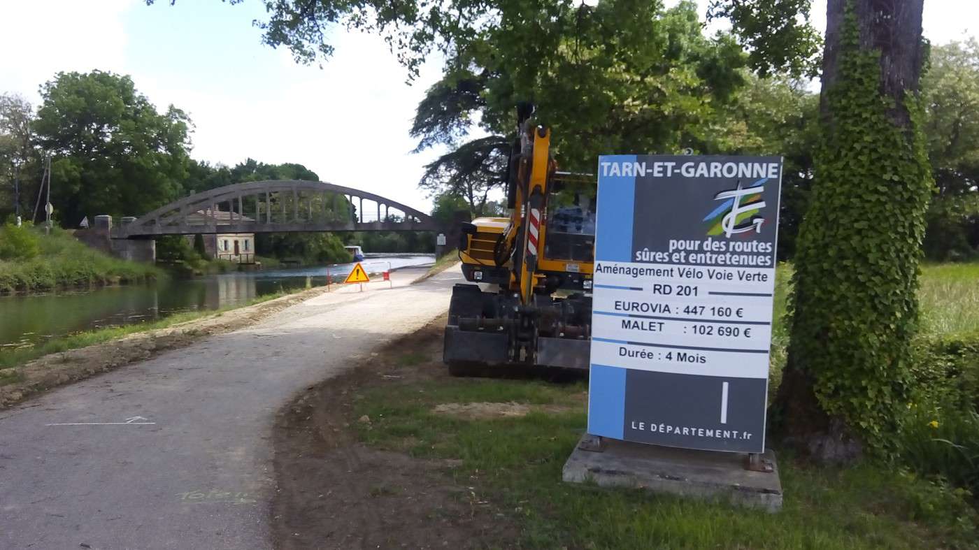
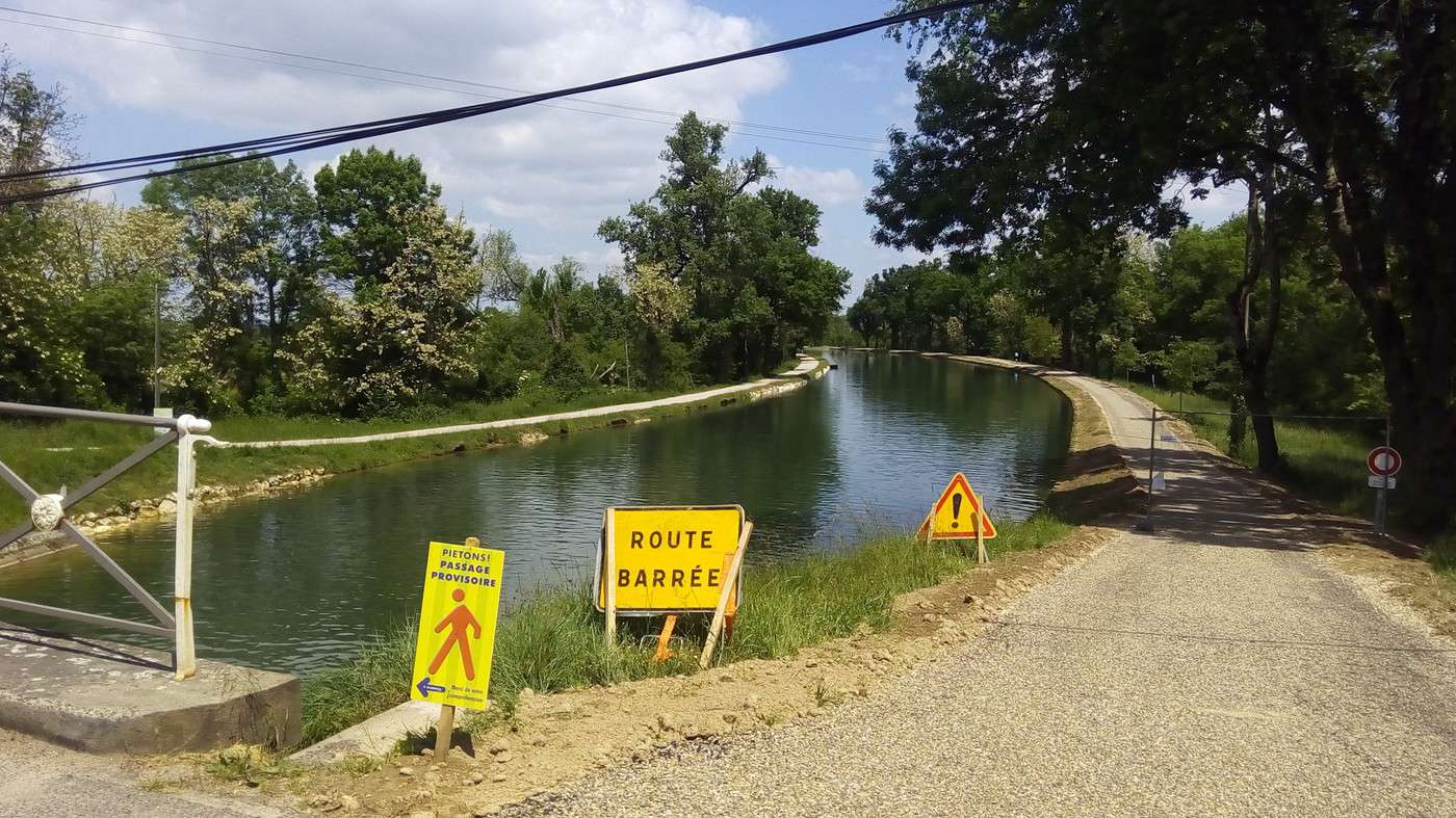
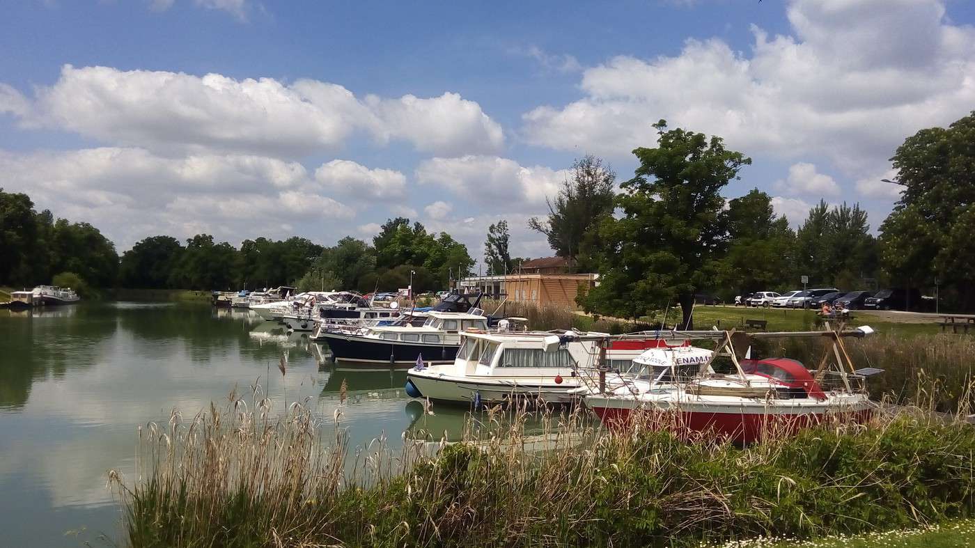
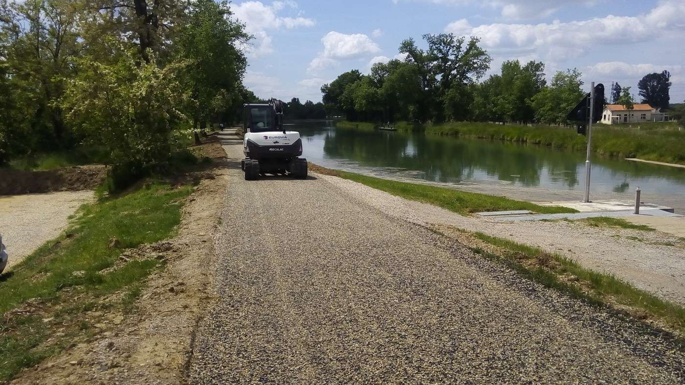
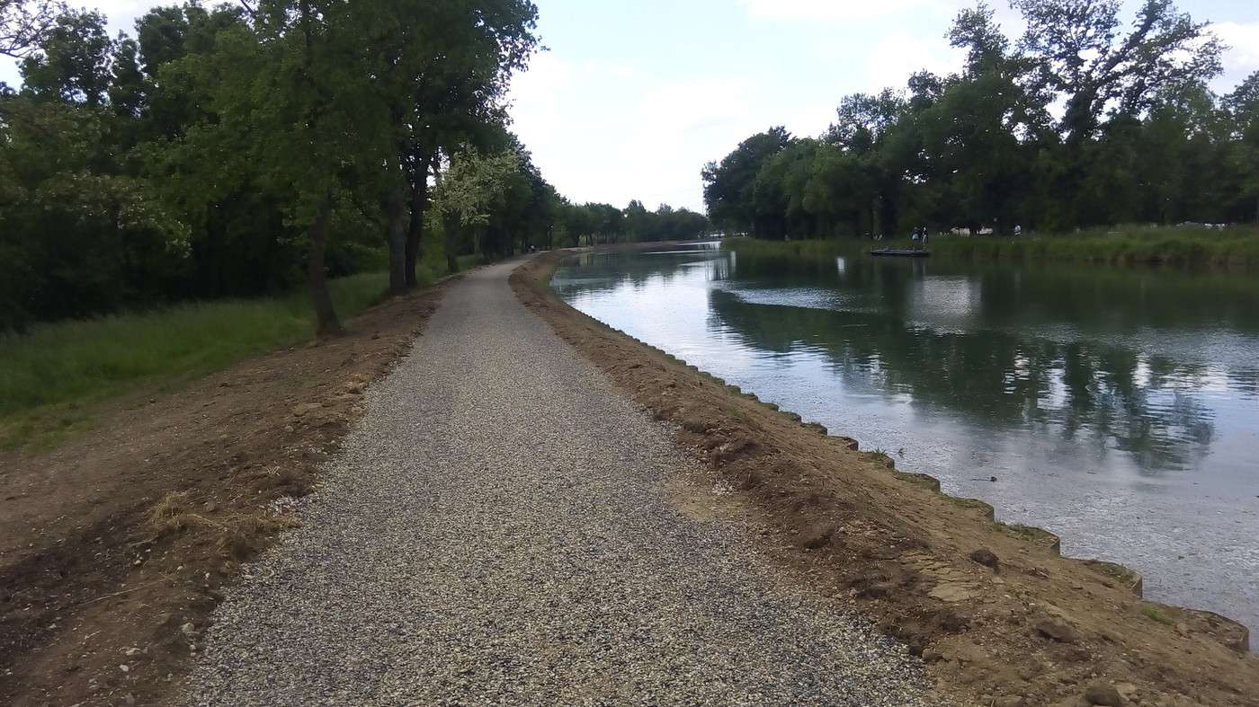
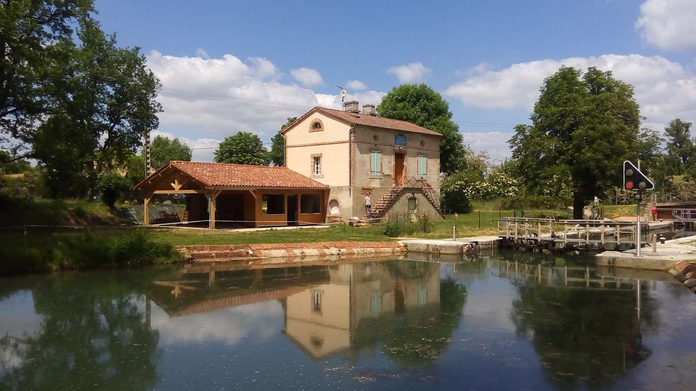
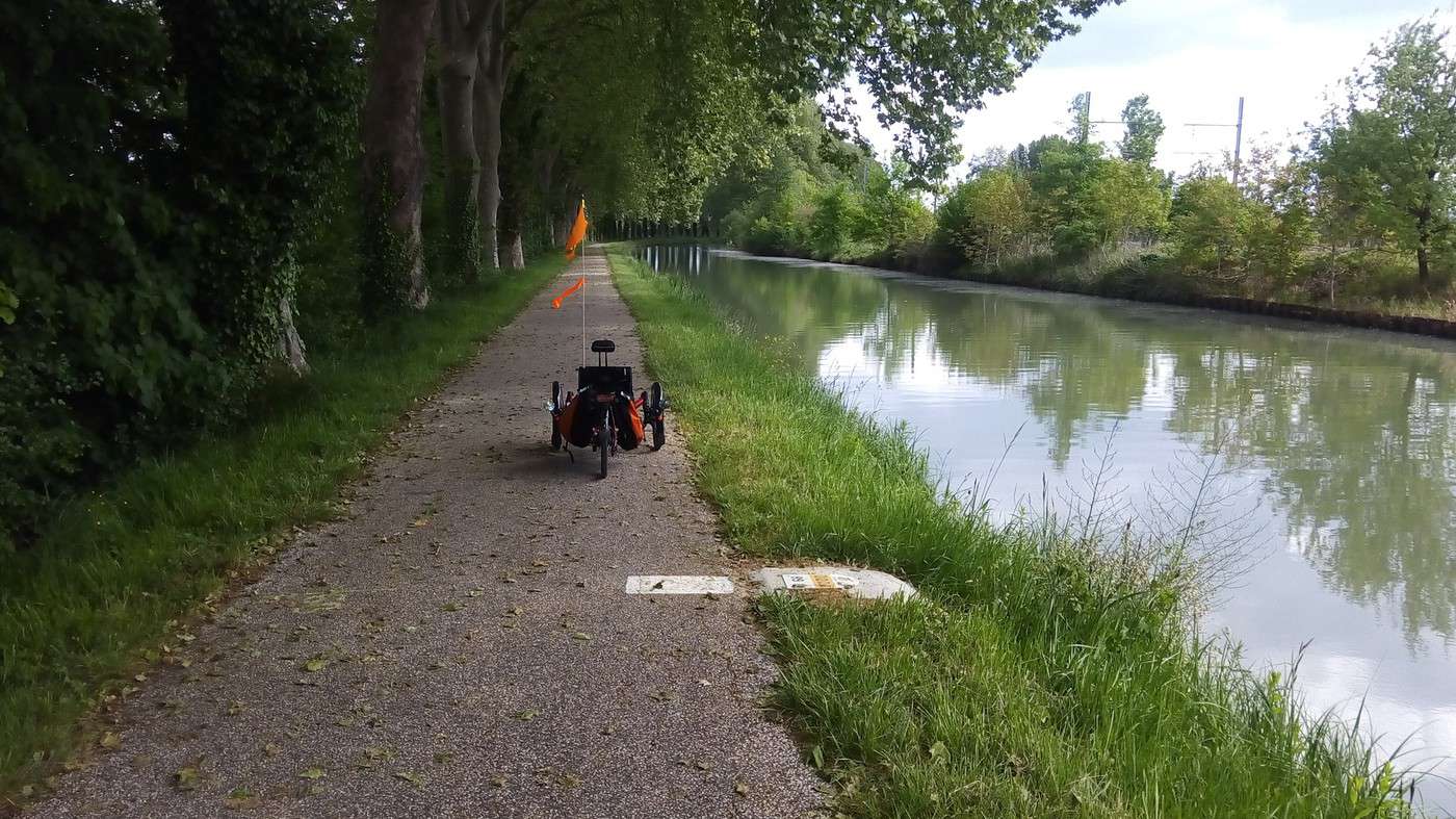
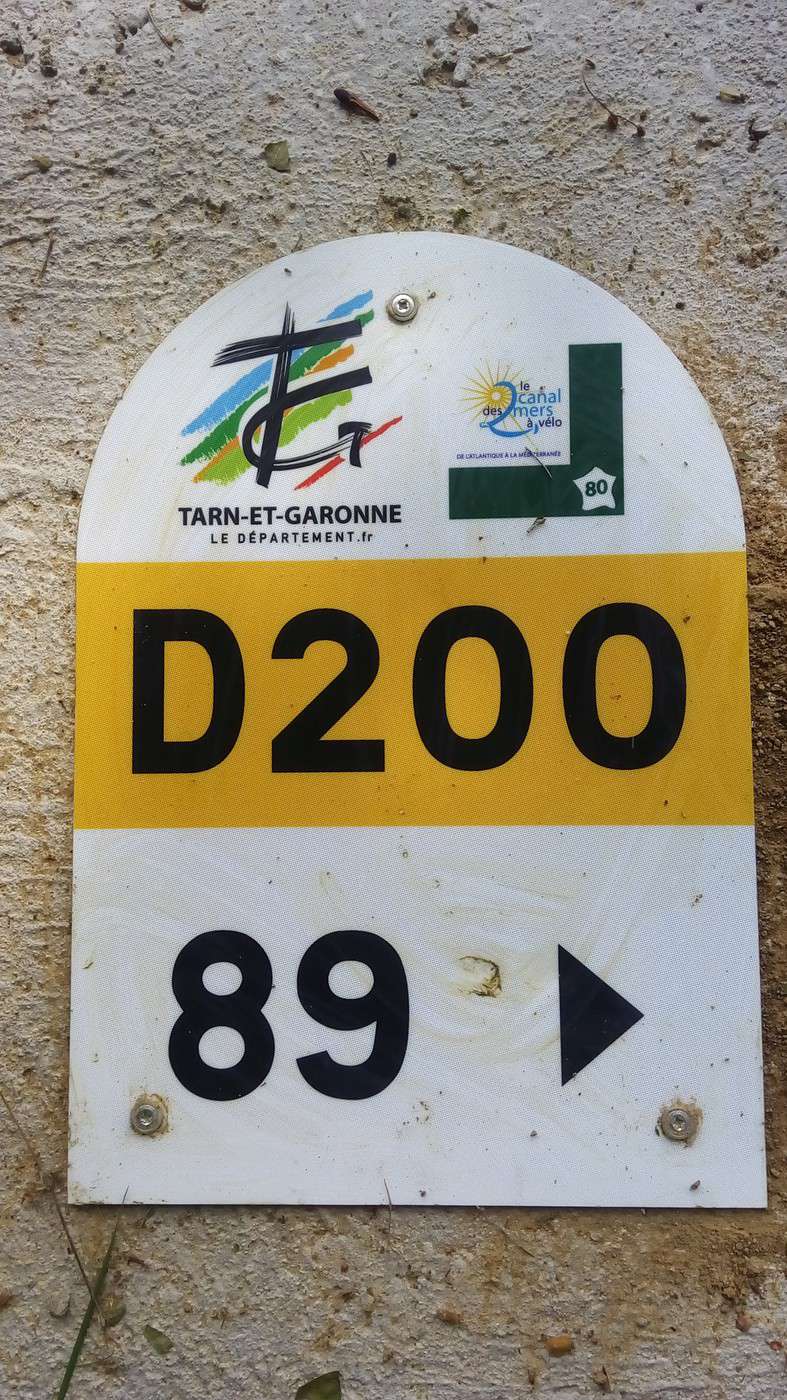
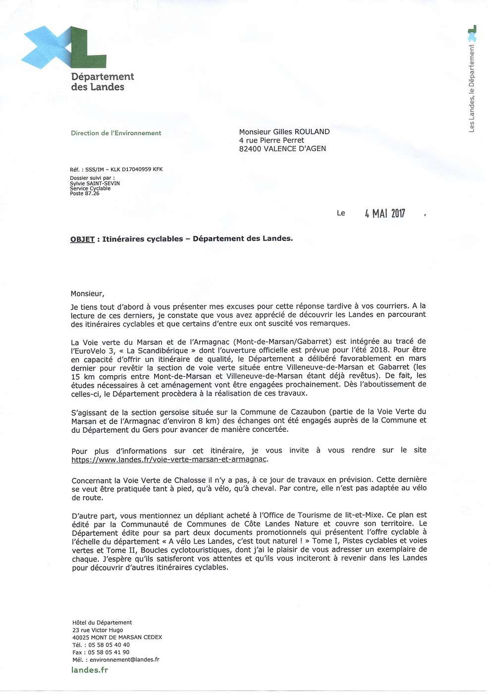
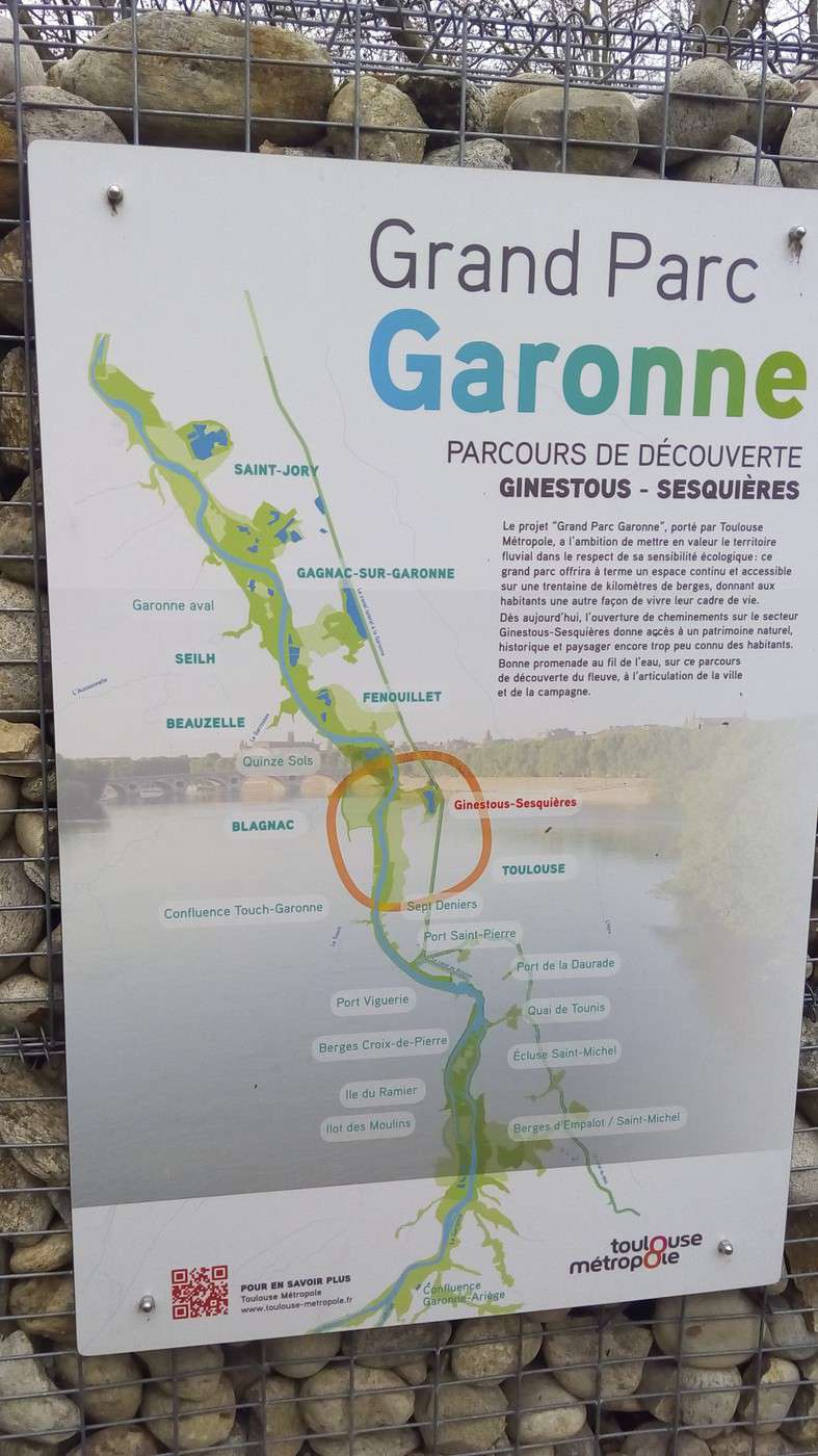
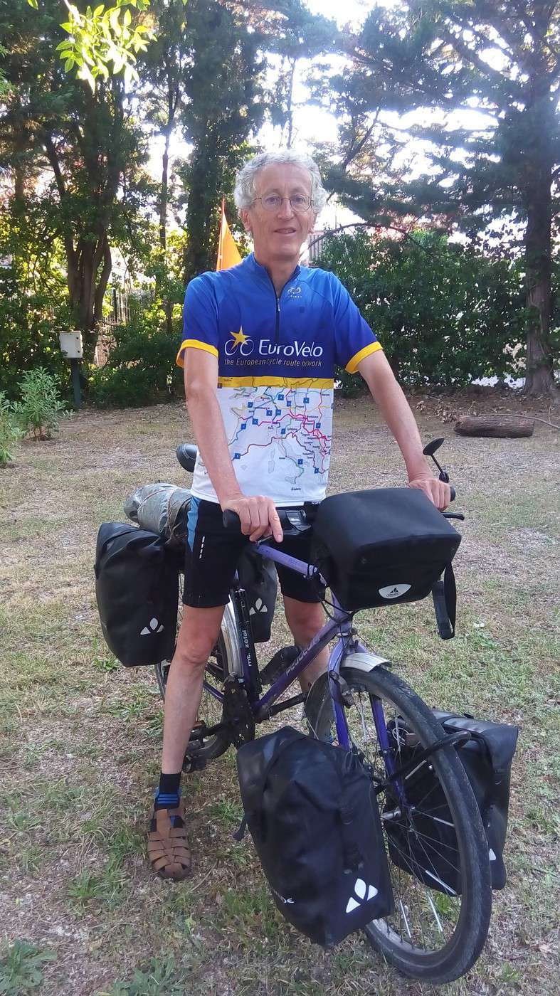
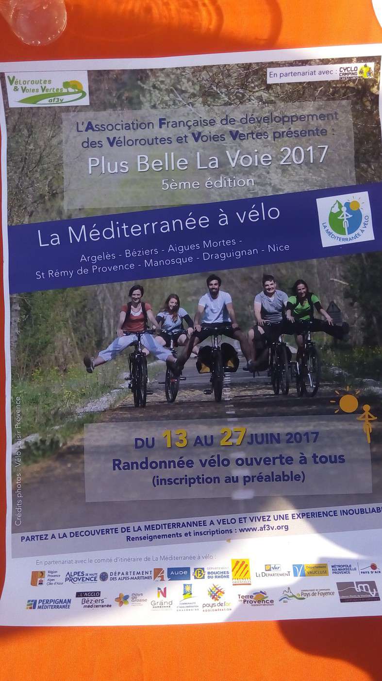
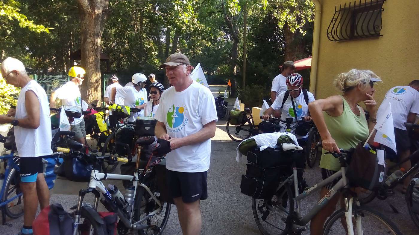
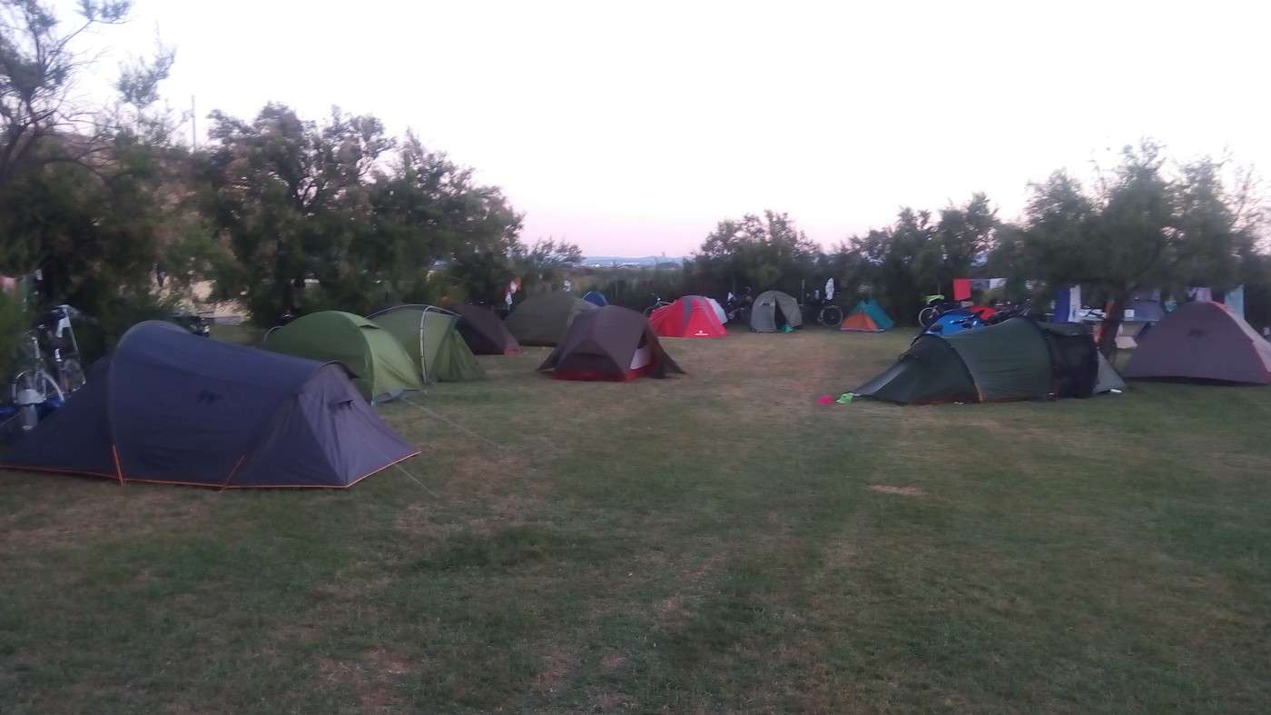
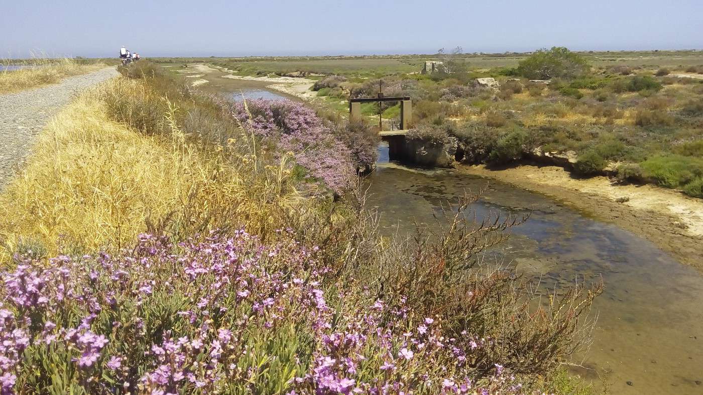
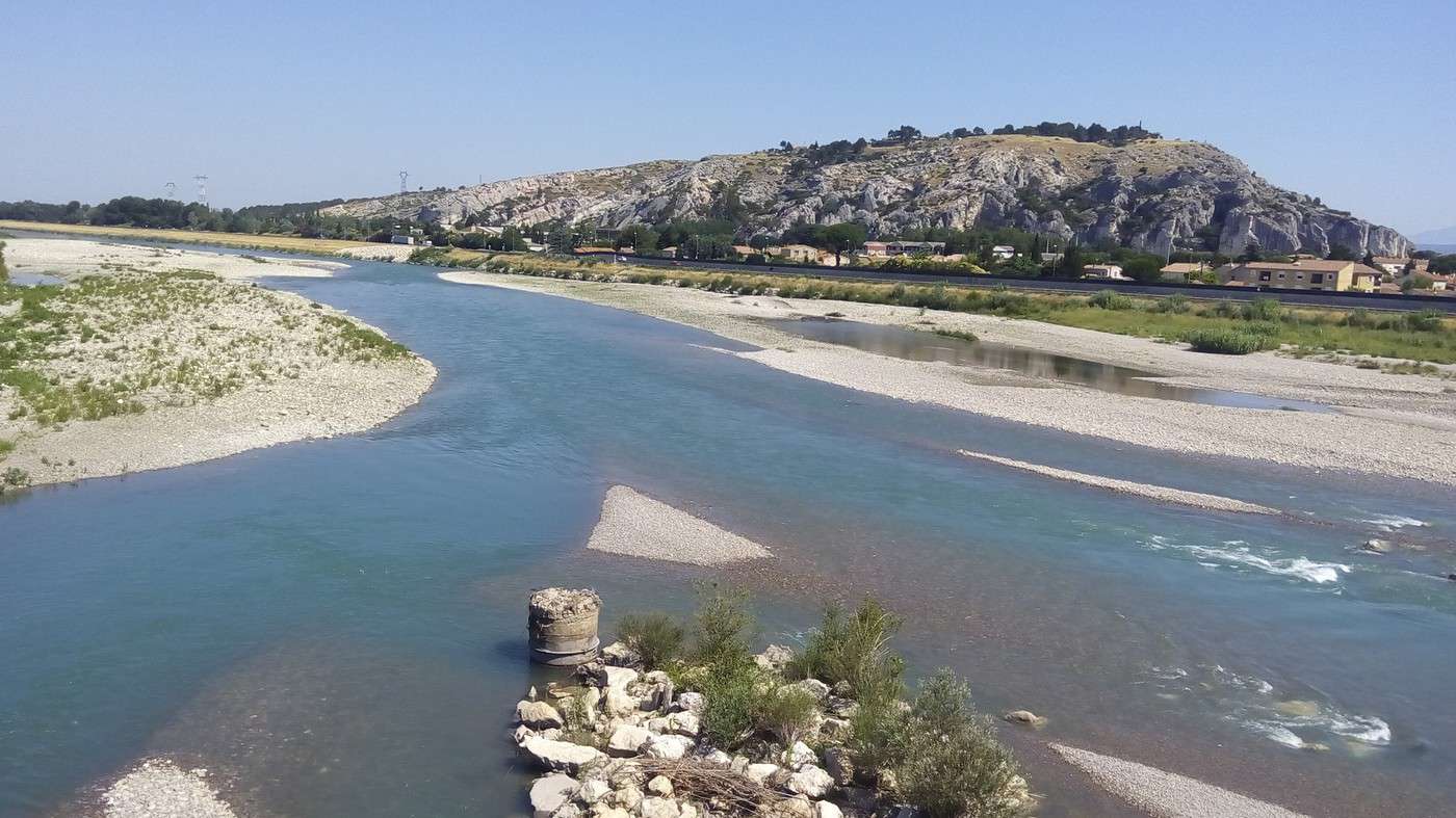
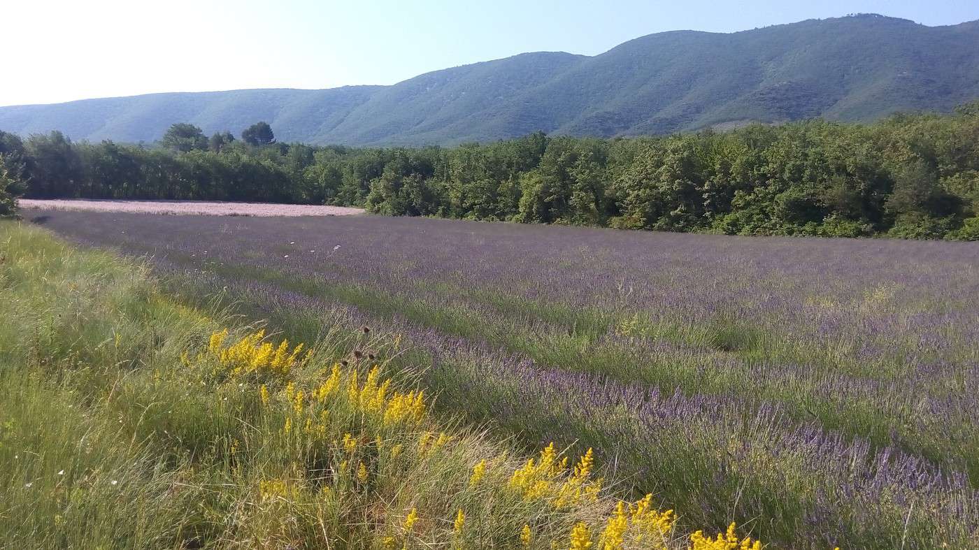
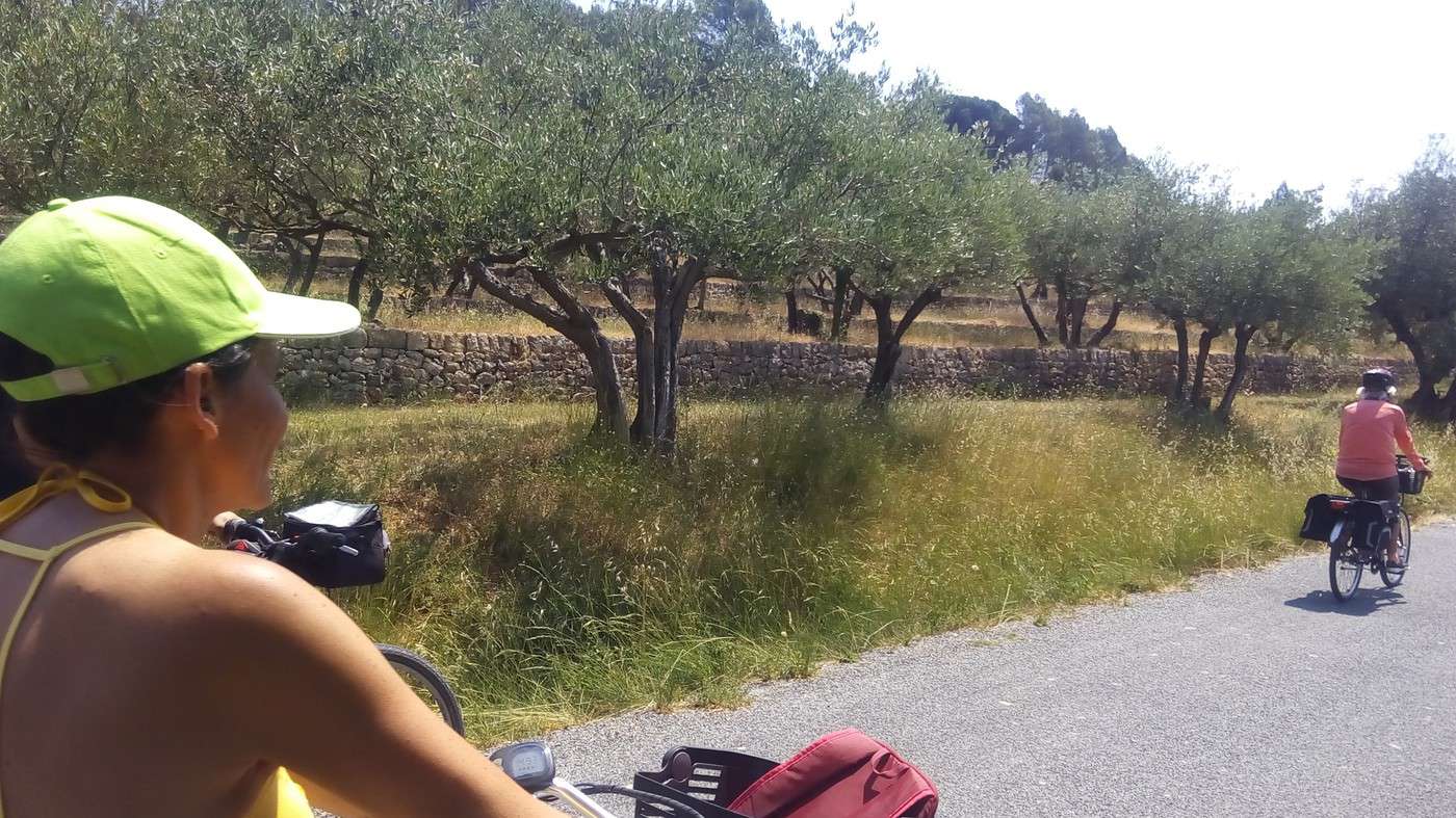
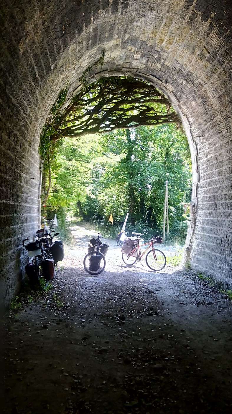
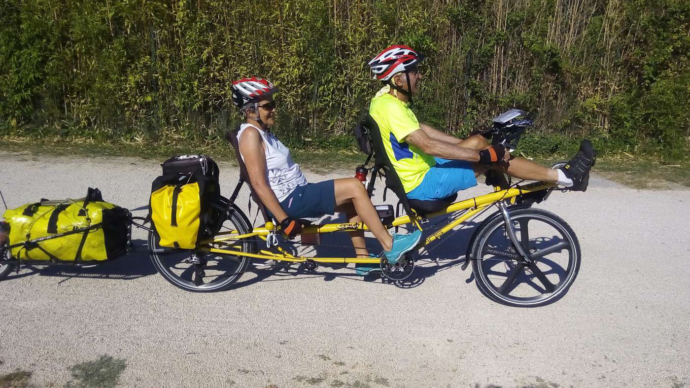
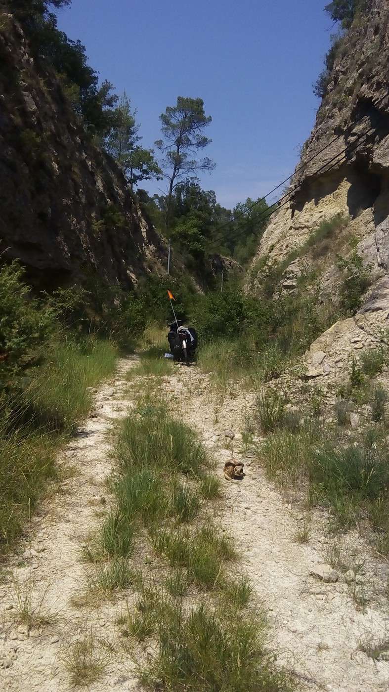
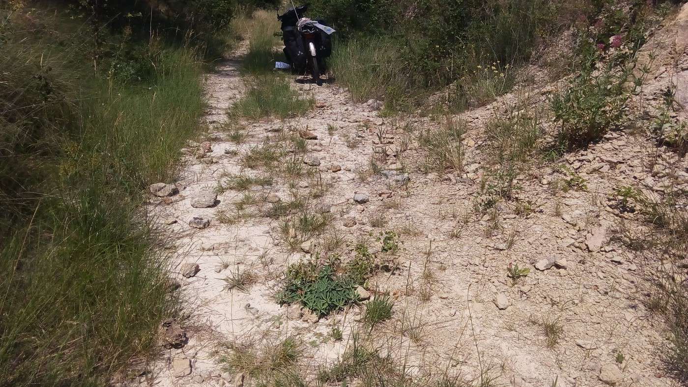
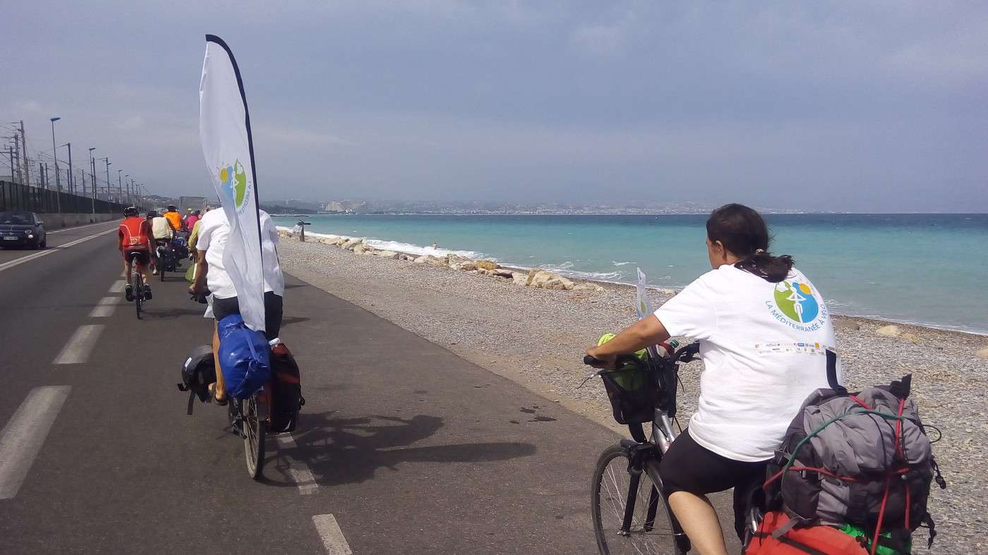
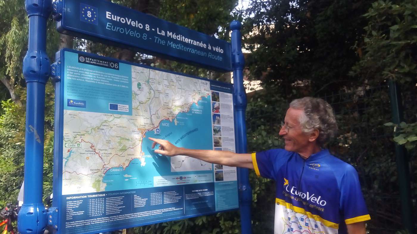
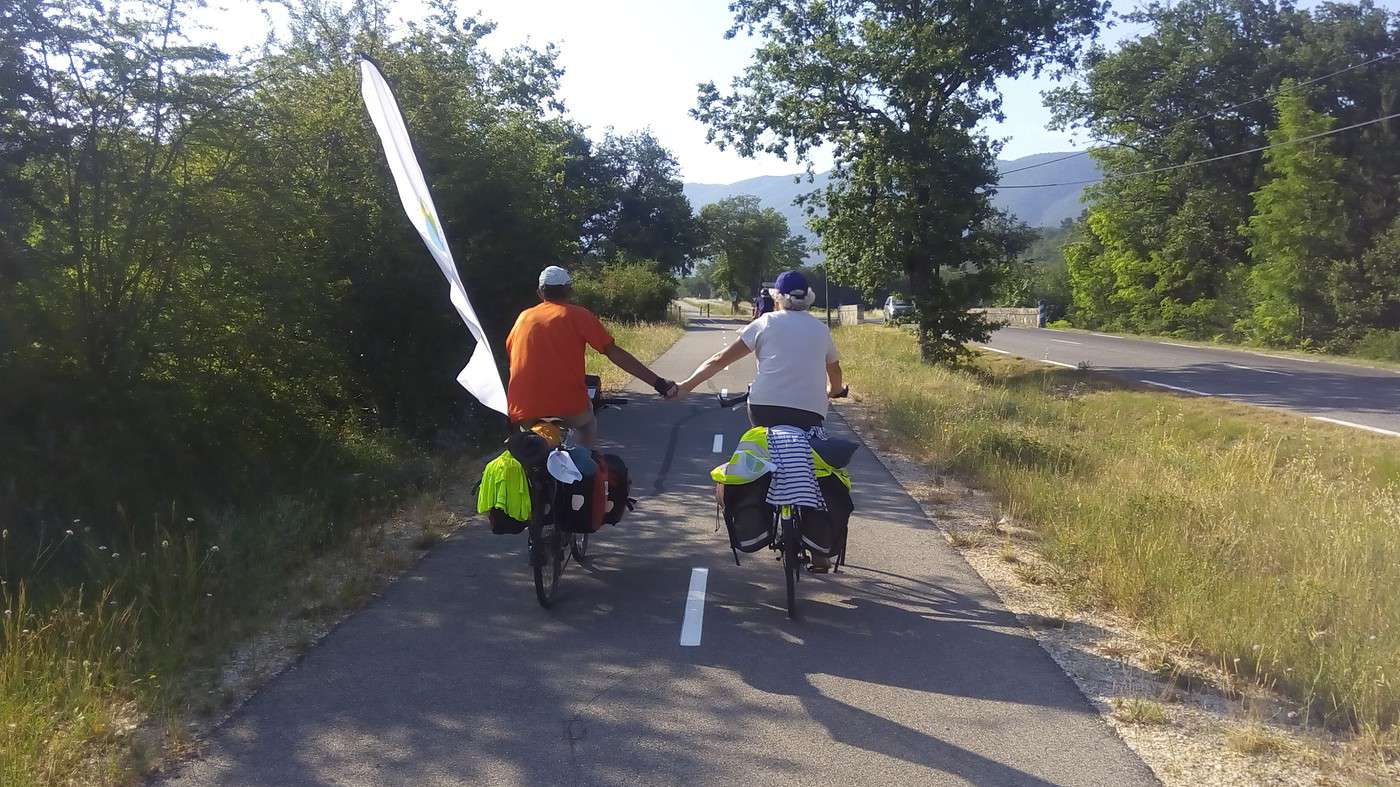
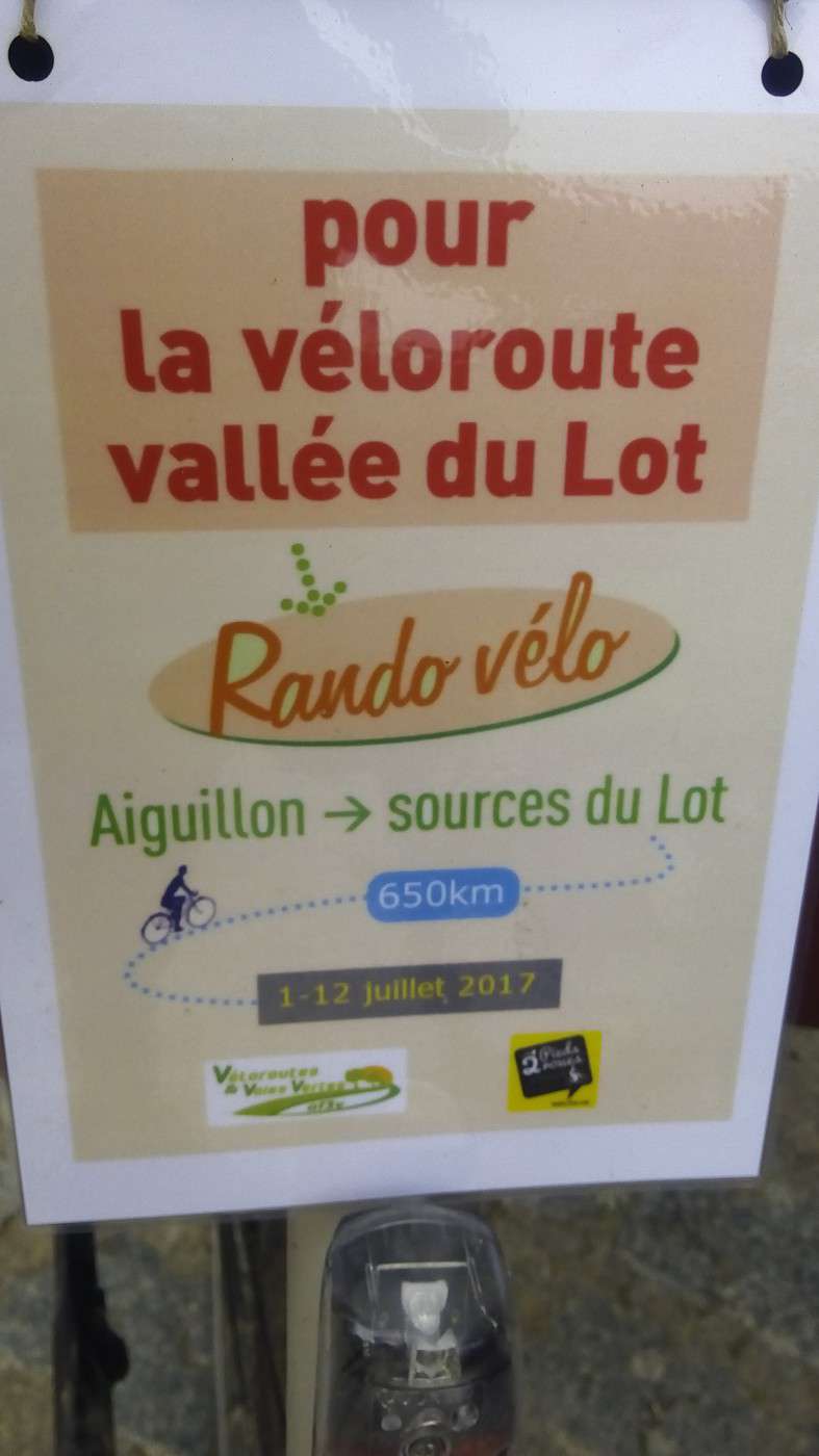
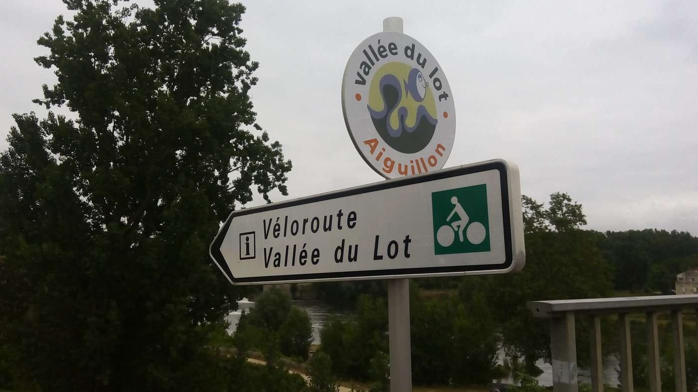
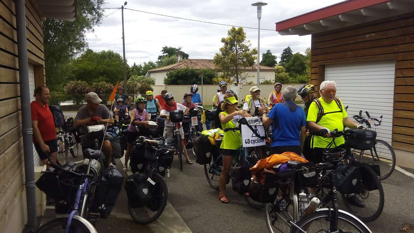
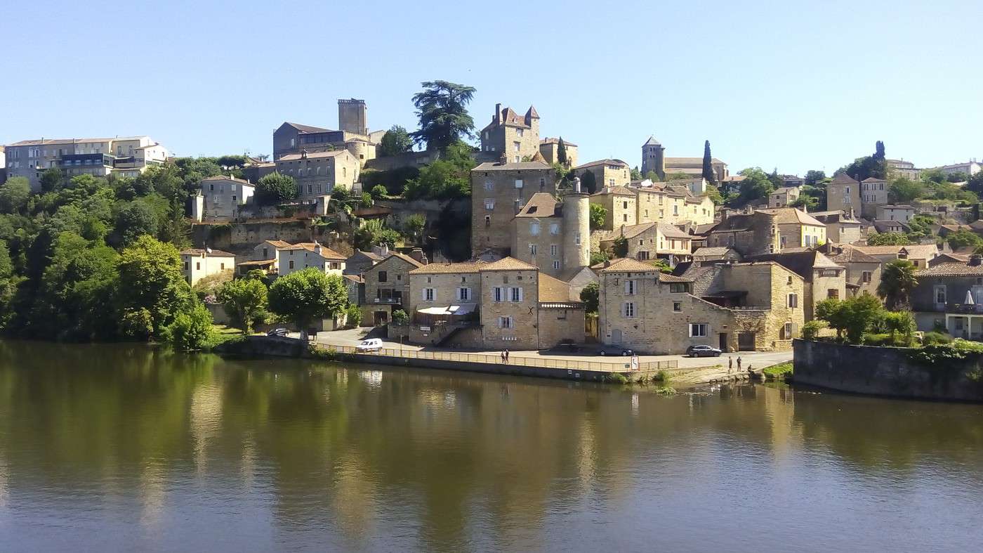
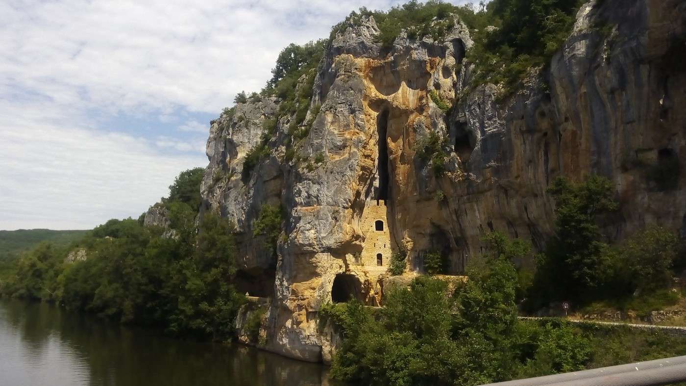
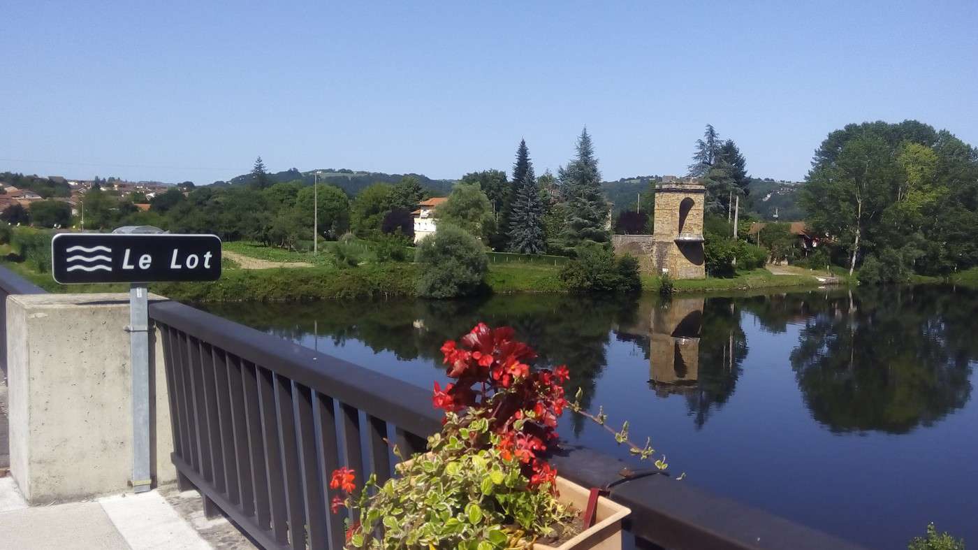
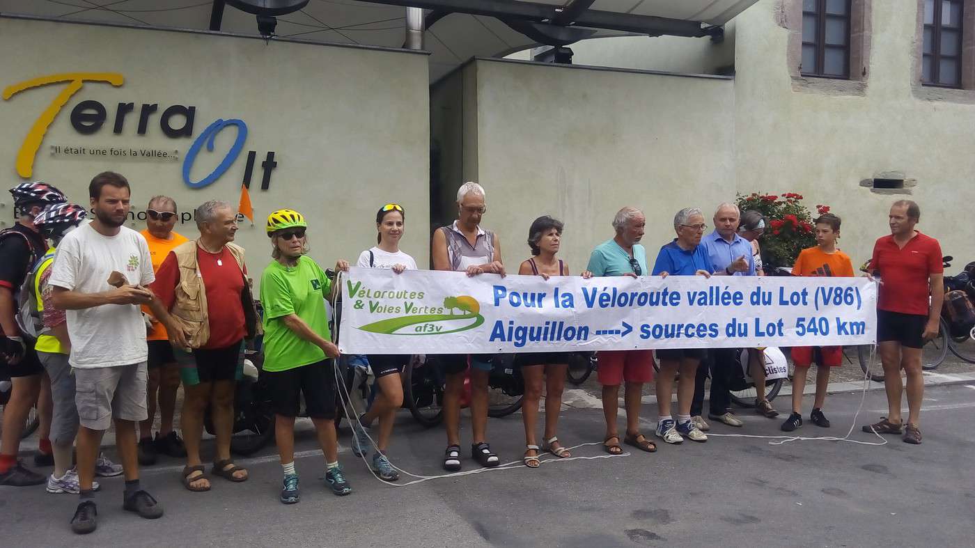
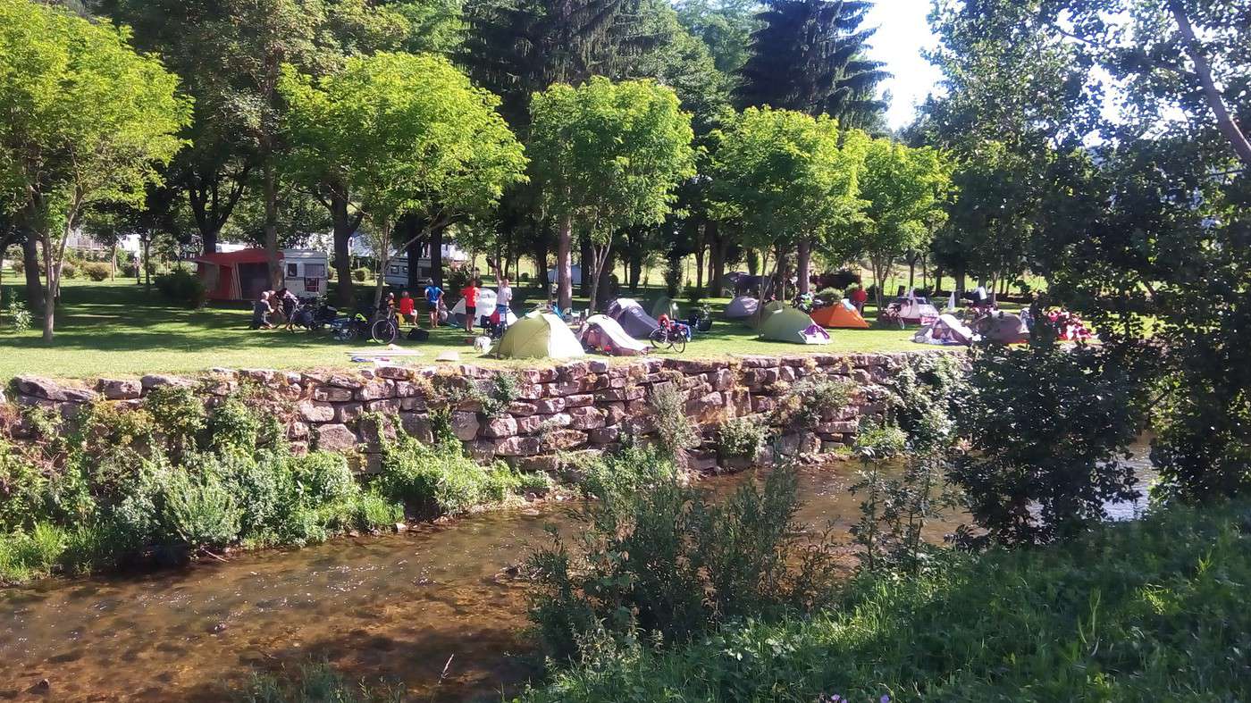
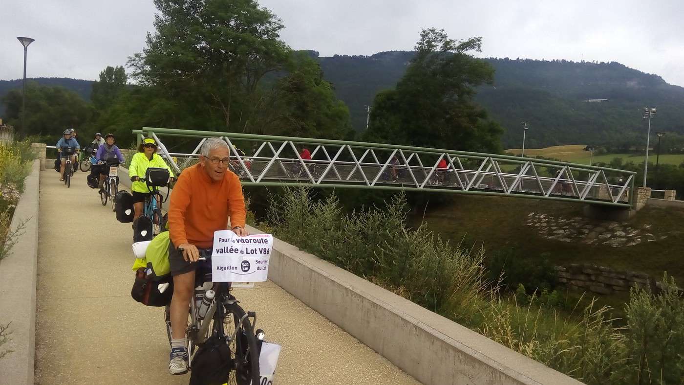
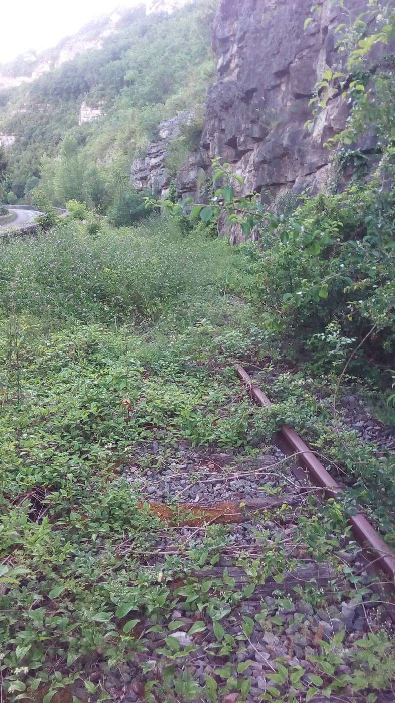
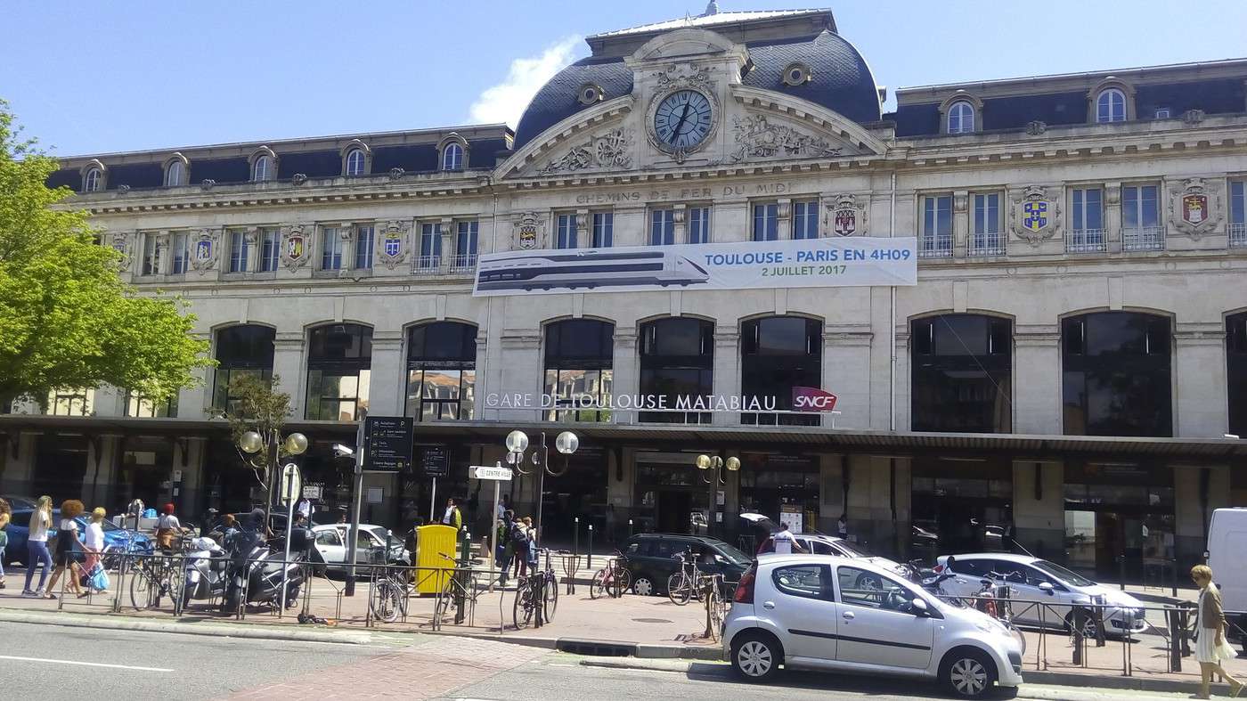
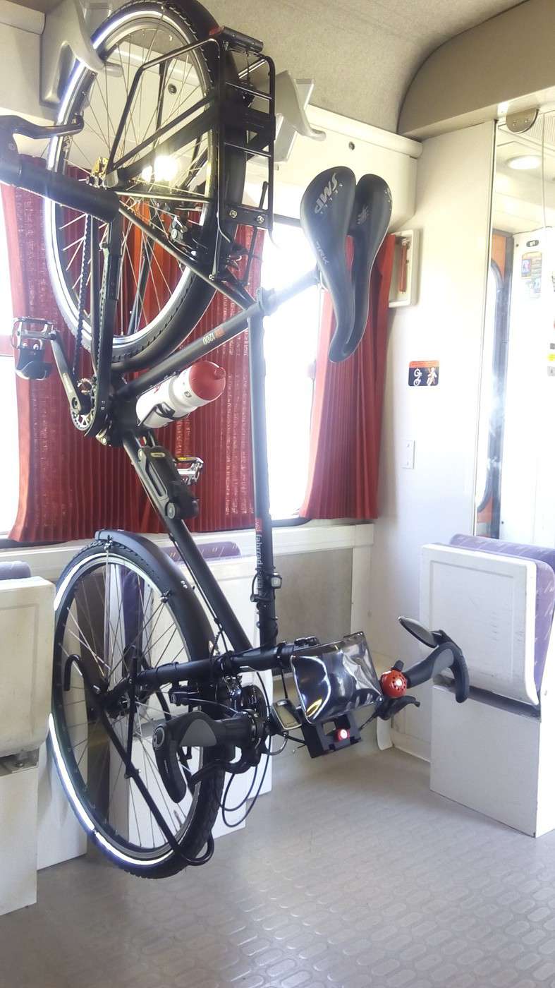
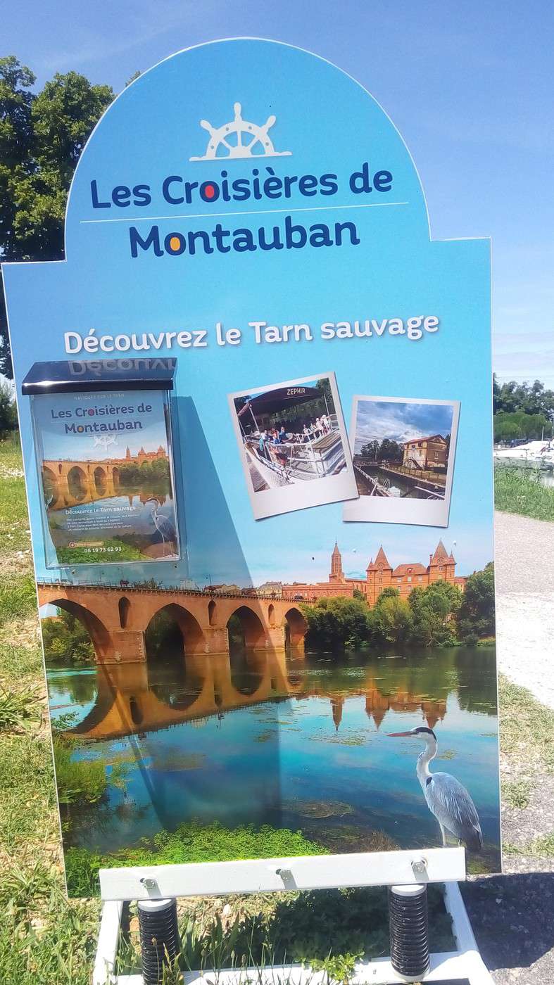
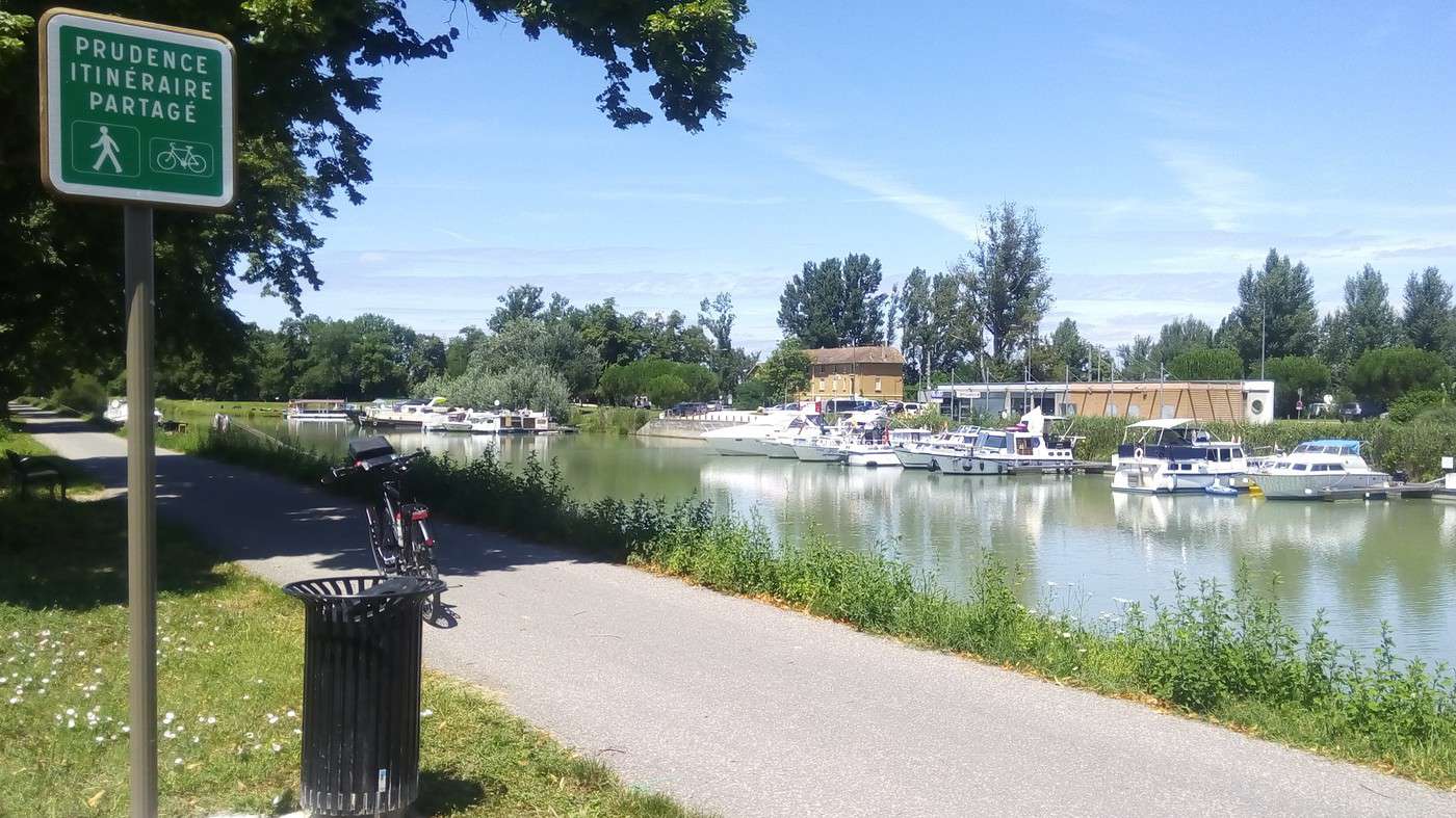
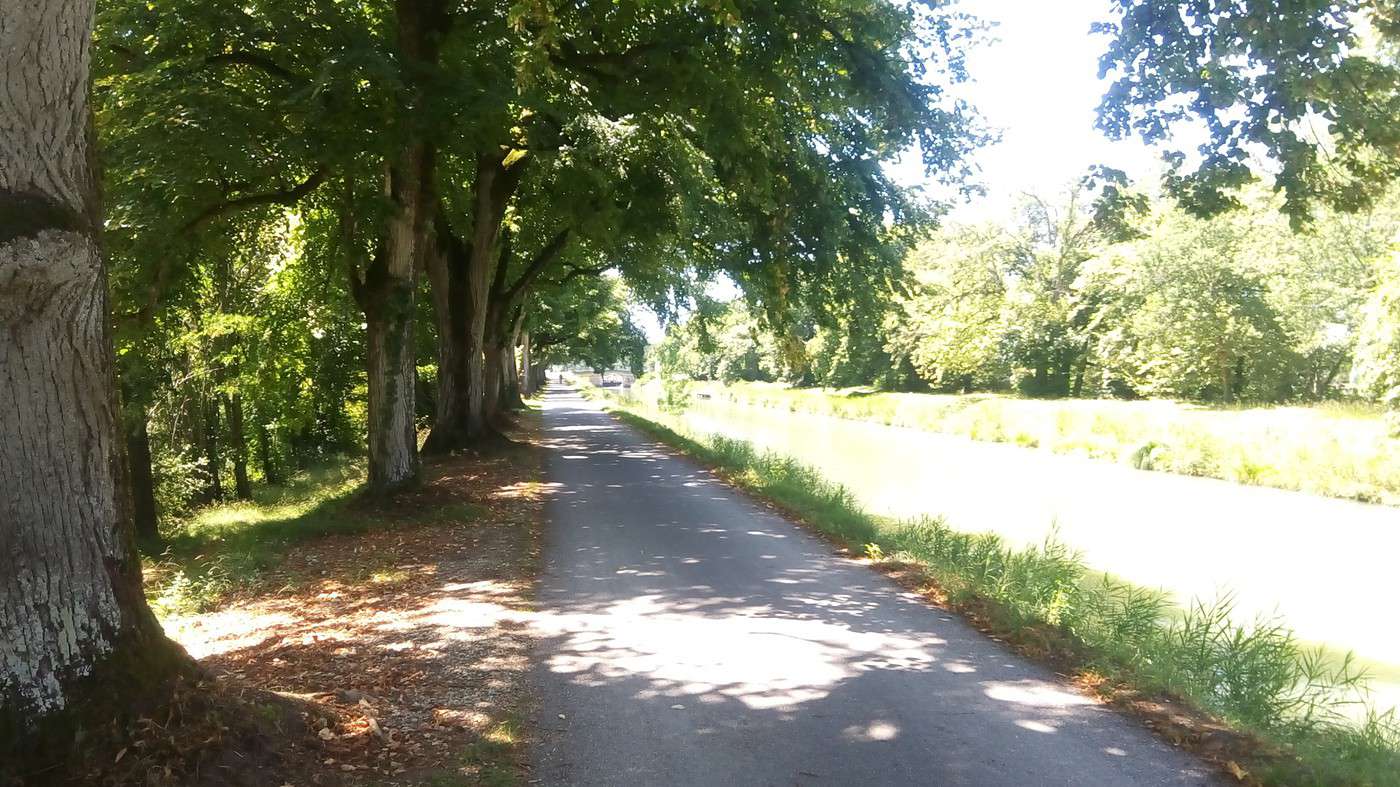
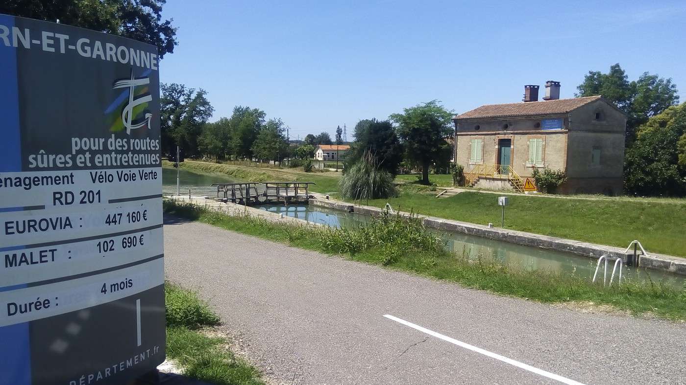
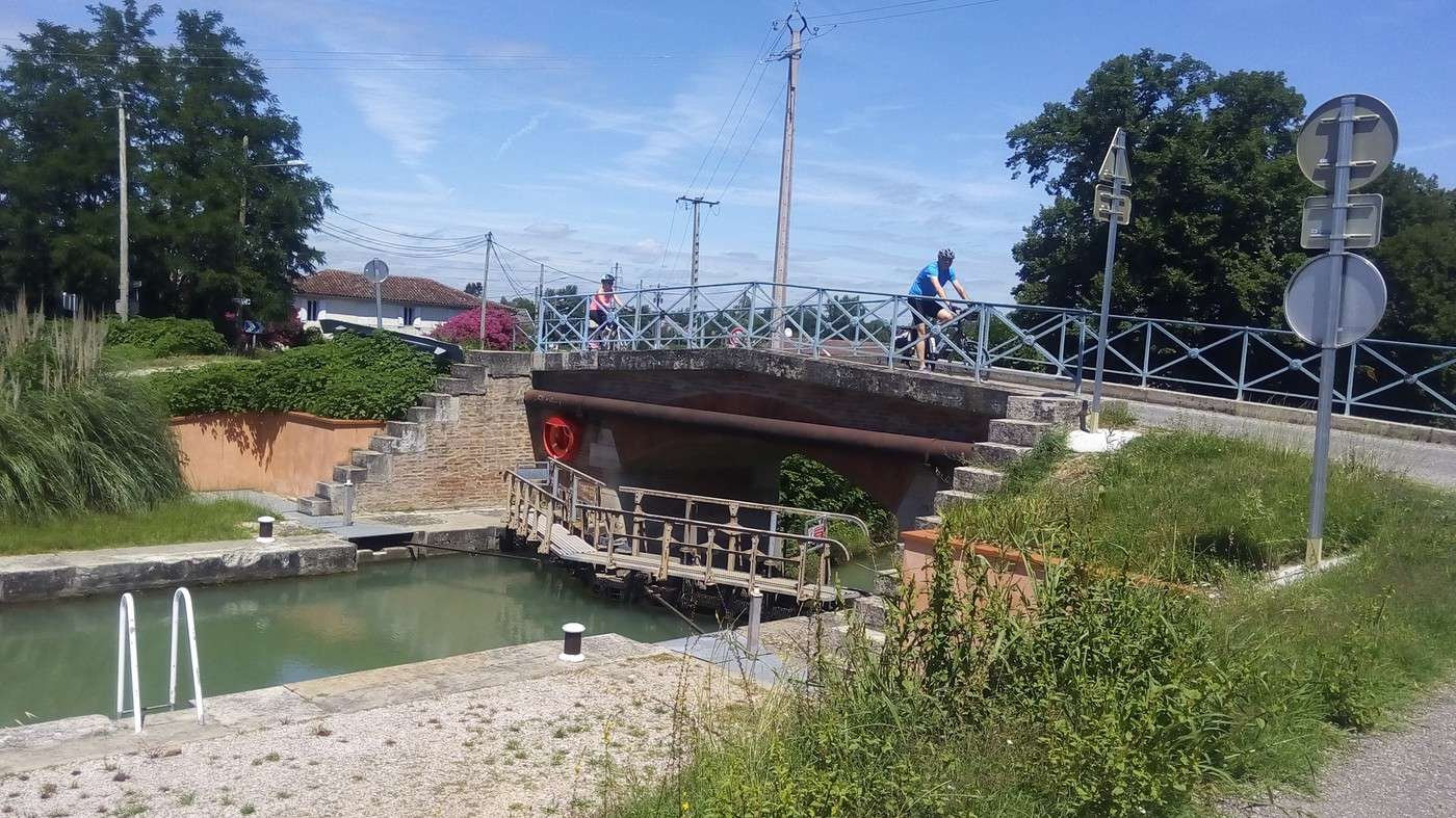
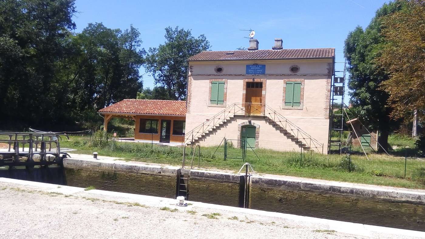
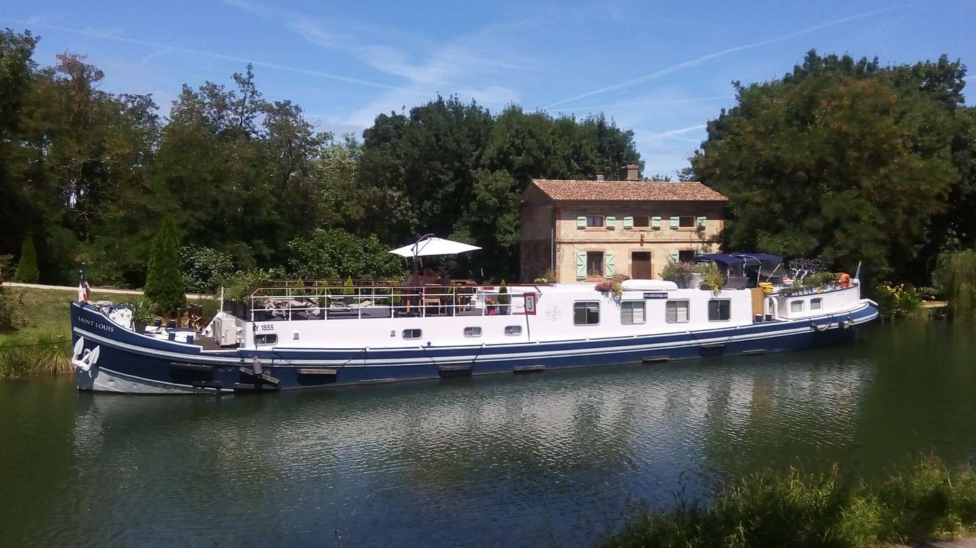
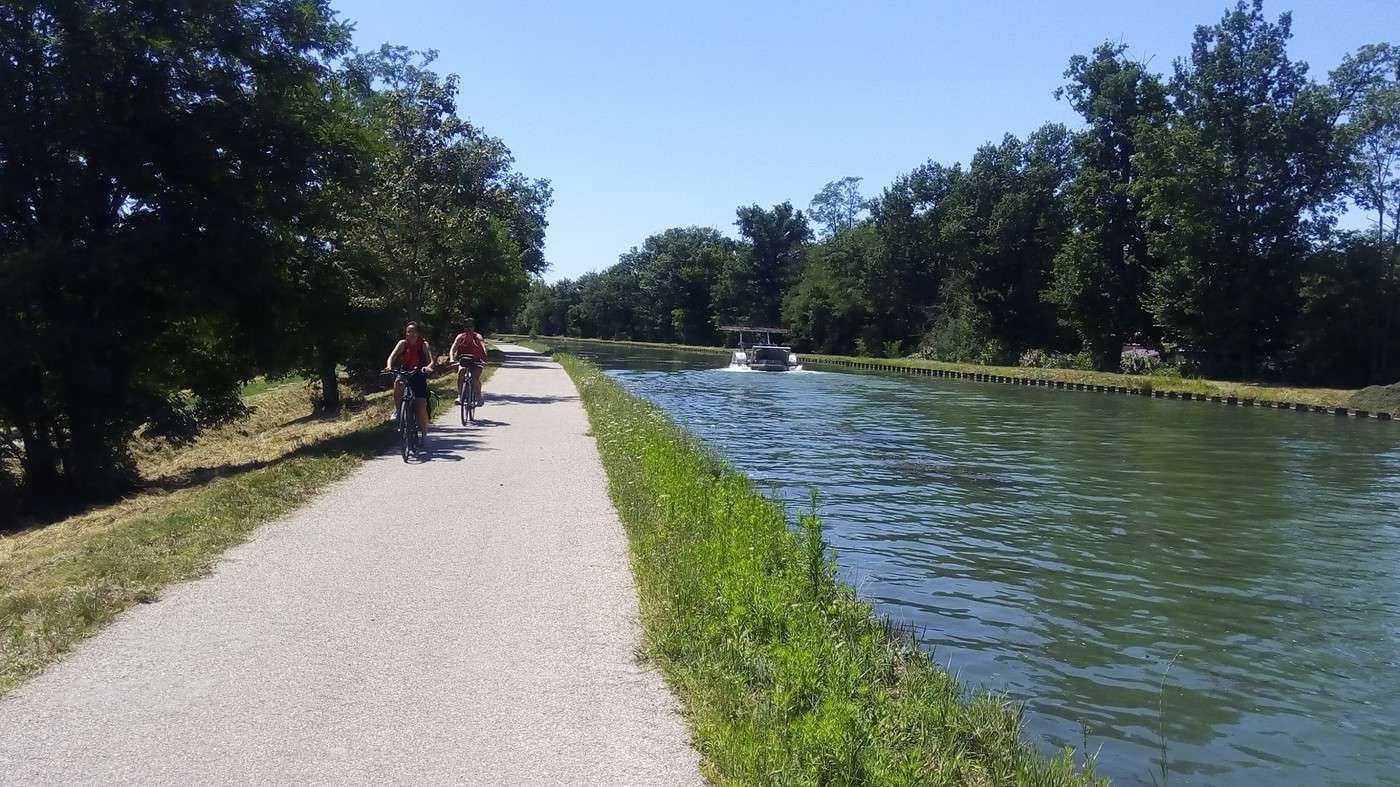
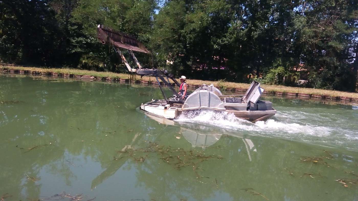
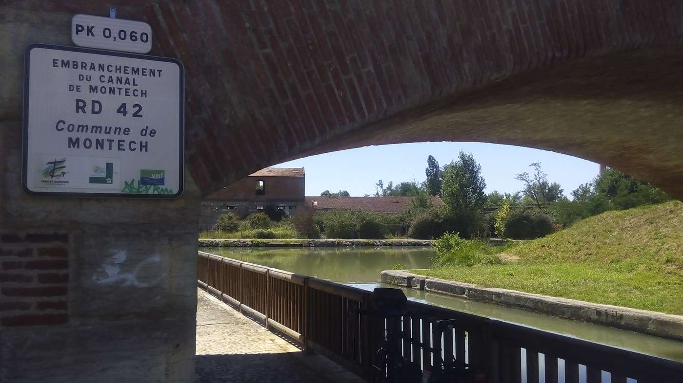
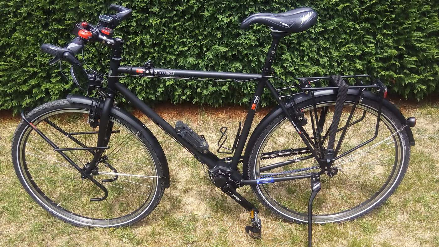
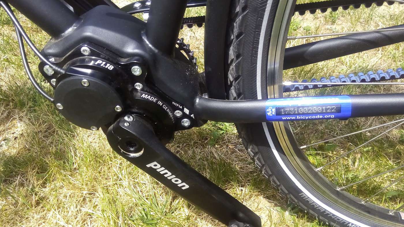
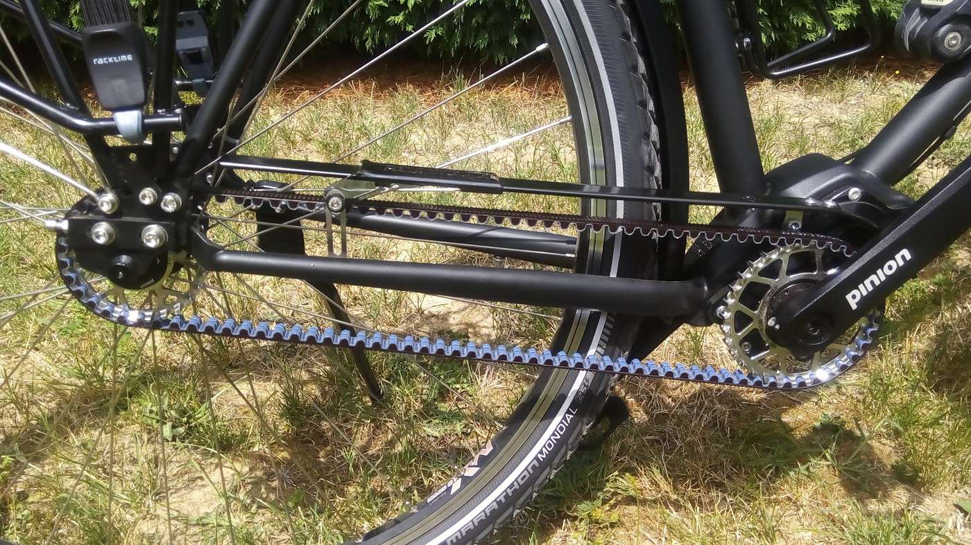
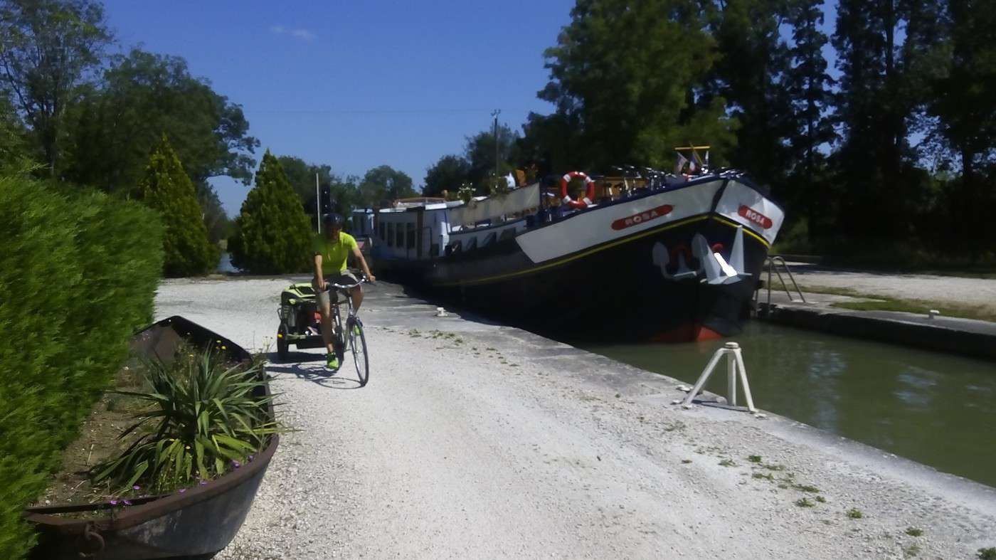
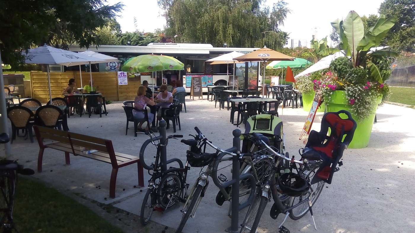
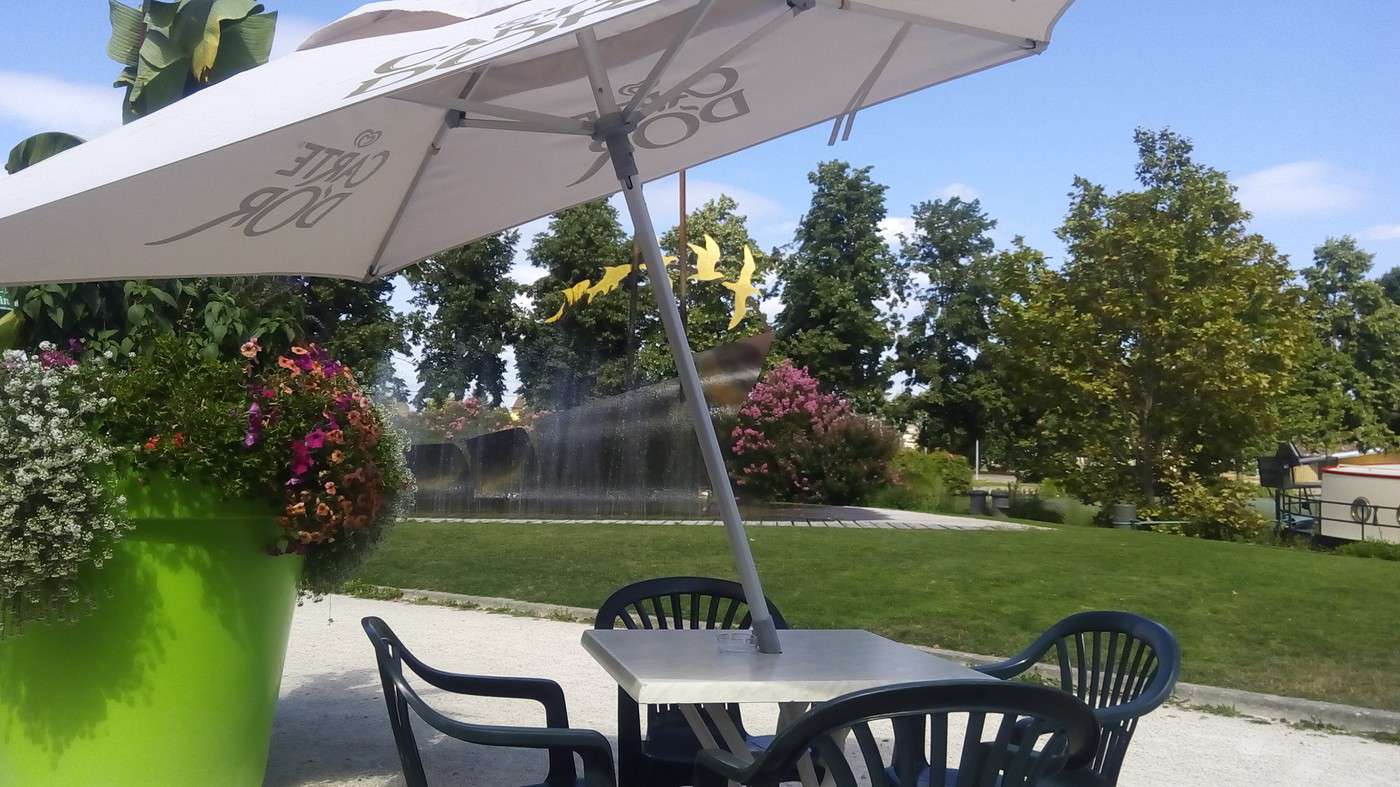
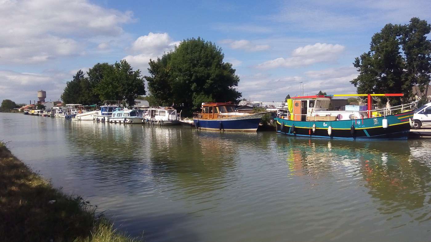
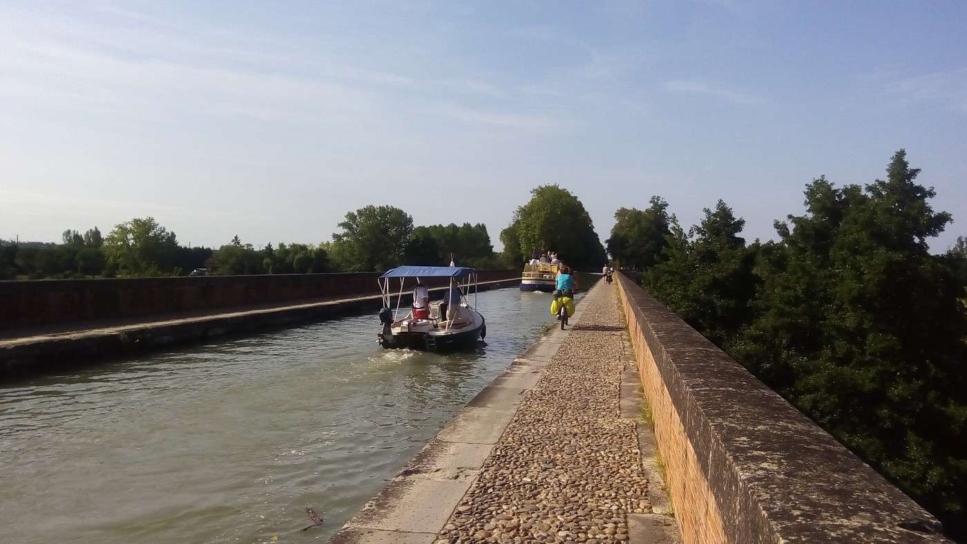
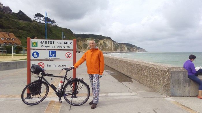 Its starting point is in the hamlet of Pourville, part of the municipality of Hautôt-sur-Mer.
Brochure: www.seine-maritime-tourisme.com/...re/nos-broch...
Its starting point is in the hamlet of Pourville, part of the municipality of Hautôt-sur-Mer.
Brochure: www.seine-maritime-tourisme.com/...re/nos-broch...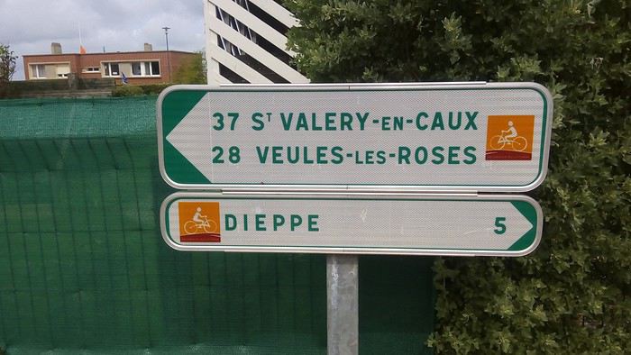 It then crosses the coastal greenway—see map: www.seine-maritime-tourisme.com/...ITINOR076FS0...
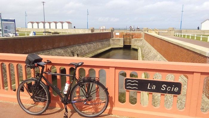 Nearby, the Scie River flows into the English Channel.
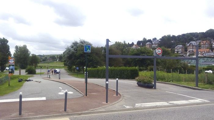 It begins after the beach parking lot.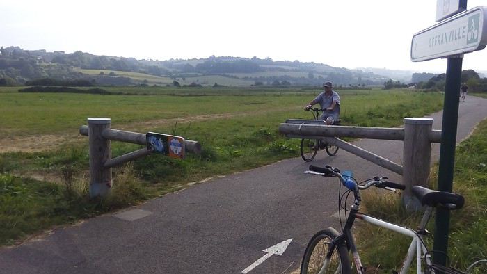
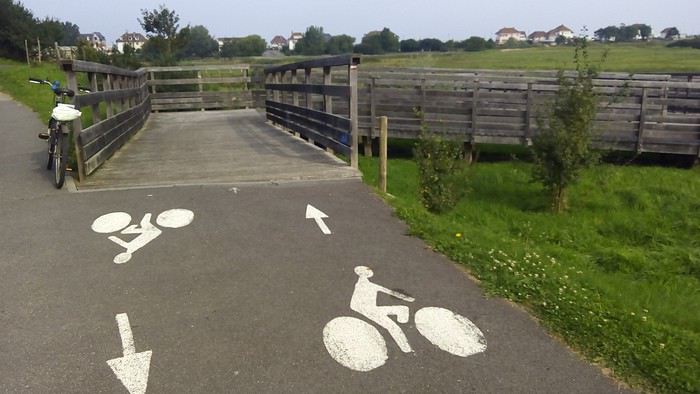 Via a footbridge.
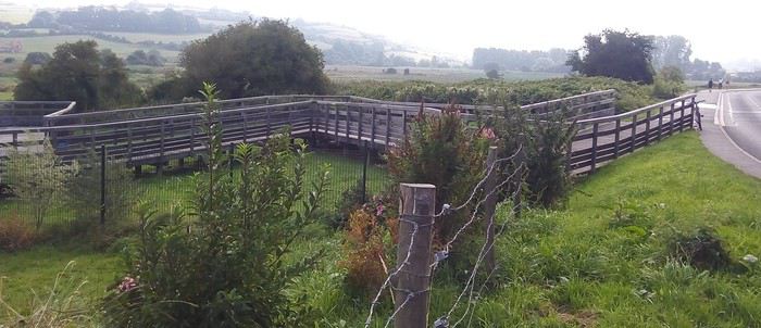 Which leads to a cycle path alongside the D153.
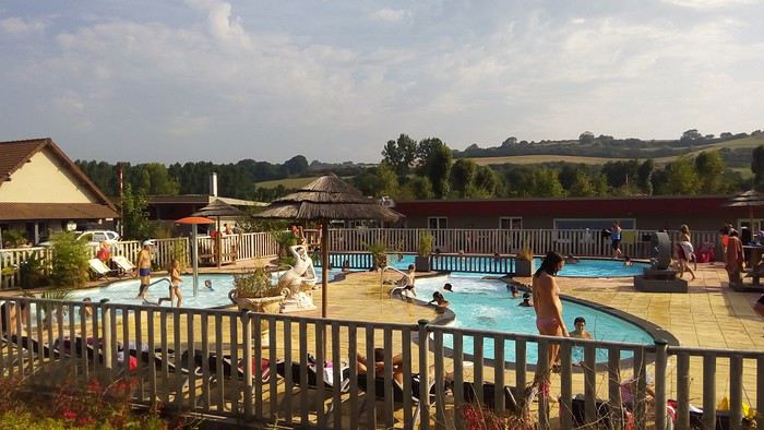 Passes by the Le Marqueval campsite.
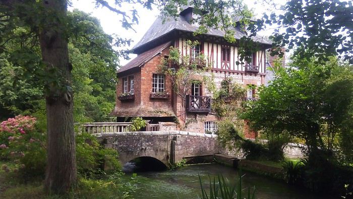 And a beautiful Norman house.
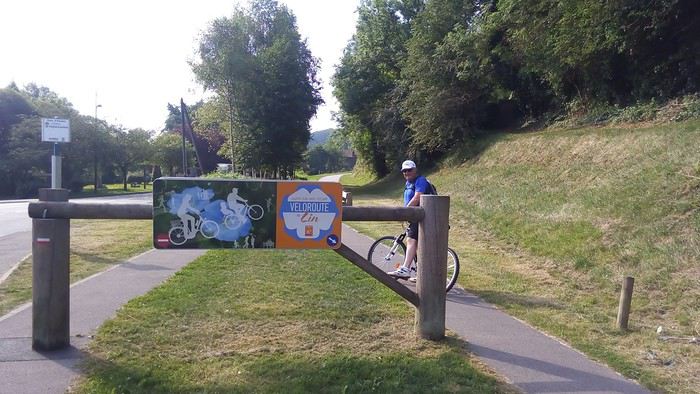 Becomes a greenway after Petit Abbeville, following the old railway line.
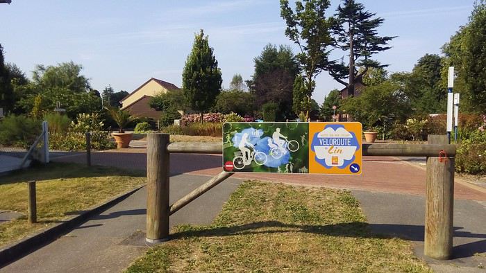 And even a magnificent greenway.
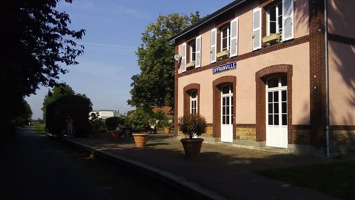 The former Offranville train station has been transformed
 into a green stop.
 With nice restrooms (even soap is provided).
 And information materials.
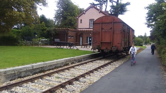 The old railway line is commemorated here.
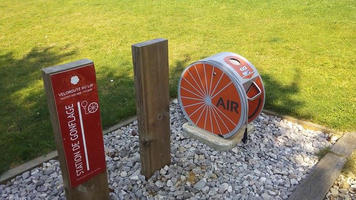 With an air pump station.
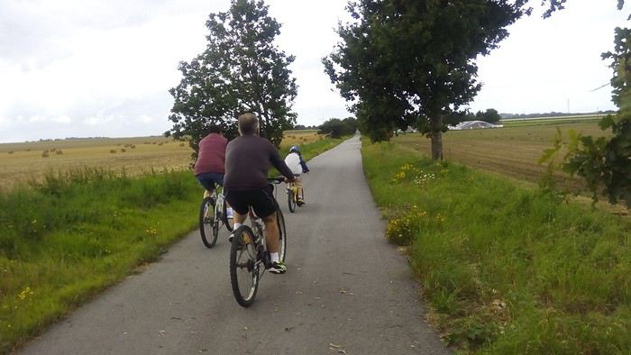 The surface is of very high quality, allowing rollerblading and wheelchair use.
 Except in wooded sections where autumn leaves and branches remain due to lack of maintenance.
 Or due to very rare damage caused by roots.
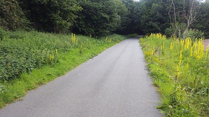 In addition to excellent surfacing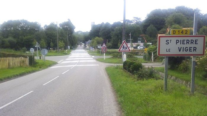
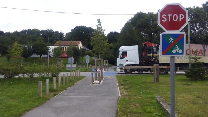 Right-of-way on the road is clearly defined
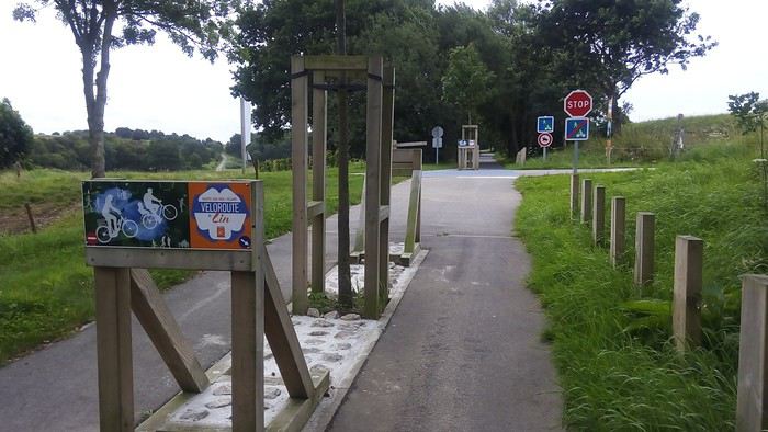 The obstacles encouraging you to slow down are aesthetic but shouldn’t have sharp right angles—rounded edges would be better
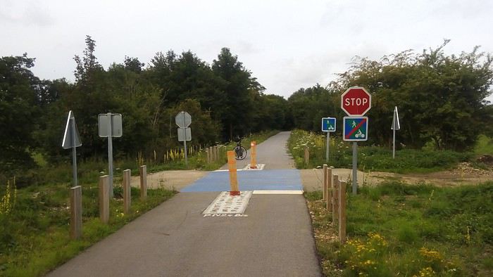 even for access to a field. A simple yield sign would suffice here
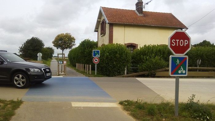 Old gatekeeper’s house
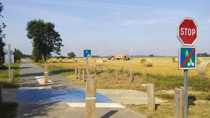 Still in a lovely setting
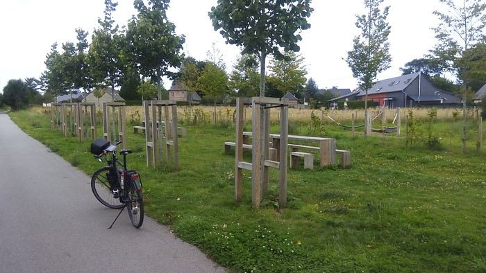 It’s equipped with welcoming rest areas (here with two hammocks)
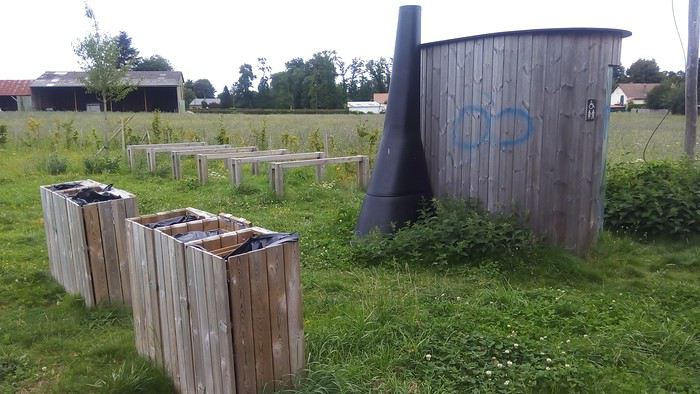 bike racks, recycling bins, and dry toilets
 Unfortunately locked (technical issue or vandalism?)
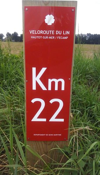 Too bad the kilometer markers on the section built in 2015
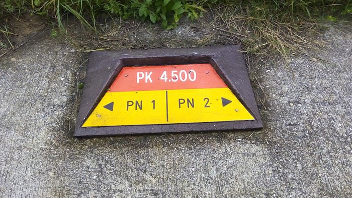 are different from those on the section built in 2007
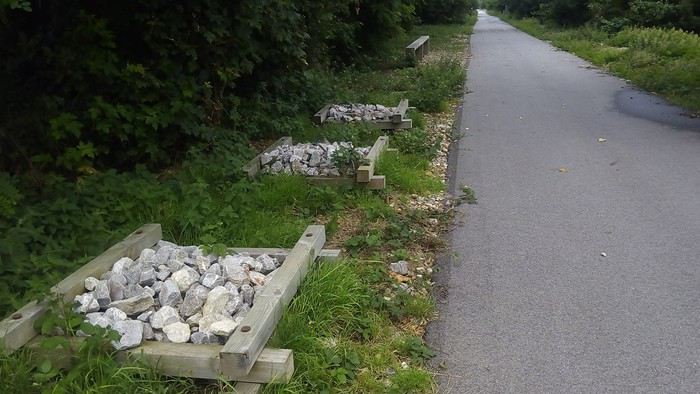 Rocky areas evoke the old railway line
 And this "ballast" contributes to biodiversity
 The 1.5 km off the Greenway near Luneray
 are also well signposted
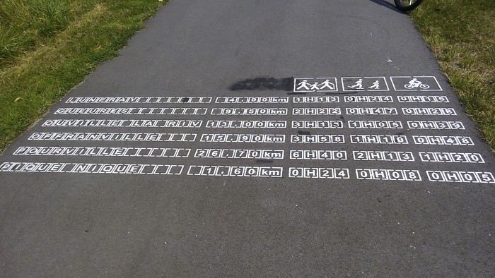 The recent 20 km section was also stenciled across its 3 m width.
Too bad the sign saying Offranville 15.9 km is wrong
The recent 20 km section was also stenciled across its 3 m width.
Too bad the sign saying Offranville 15.9 km is wrong As confirmed by the directional sign also located in Saint-Pierre-le-Viger
 The town where the Town Hall is set up in the old train station
 and the Community of Communes is going to build a tourist hub with parking and restrooms at the end of this superb Greenway: 49.824283 N 0.845017 E
 While the Greenway ends at Saint-Pierre-le-Viger, the rest of the railway right-of-way can't be used because the tracks are occasionally used by the sugar refinery in Fontaine-le-Dun and the Paluel EDF power plant.
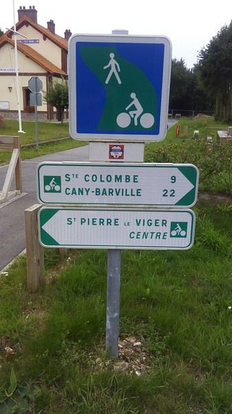 The Lin Cycle Route continues along small roads for 50 km to Fécamp.
It first heads toward Cany-Barville.
The Lin Cycle Route continues along small roads for 50 km to Fécamp.
It first heads toward Cany-Barville.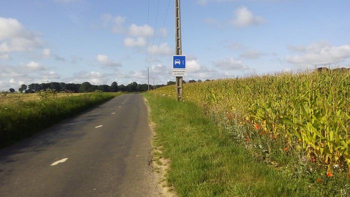 In the middle of the countryside
 cows,
cows, wind turbines
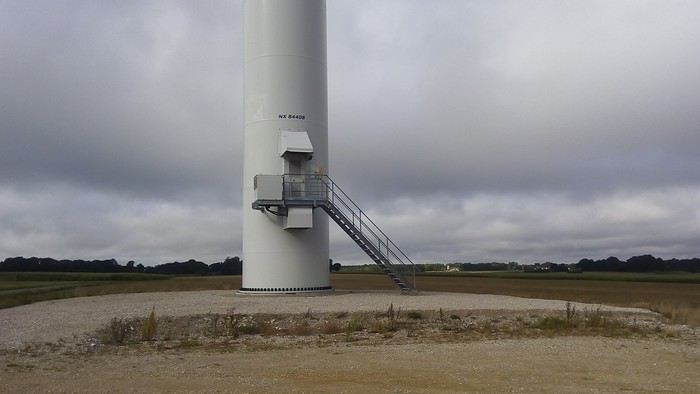 imposing ones
 houses
 sometimes in bloom.
 In a village, I asked the bus driver if the coaches accepted bikes in the hold. She told me yes!
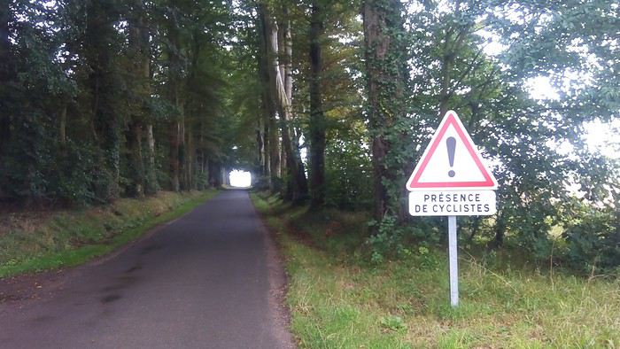 Rare tree-lined paths
 but frequent flax fields. After mowing, the flax is turned over several times by machine
 or by hand to allow for retting
fr.wikipedia.org/wiki/Rouissage
or by hand to allow for retting
fr.wikipedia.org/wiki/Rouissage Before rolling it into bales.
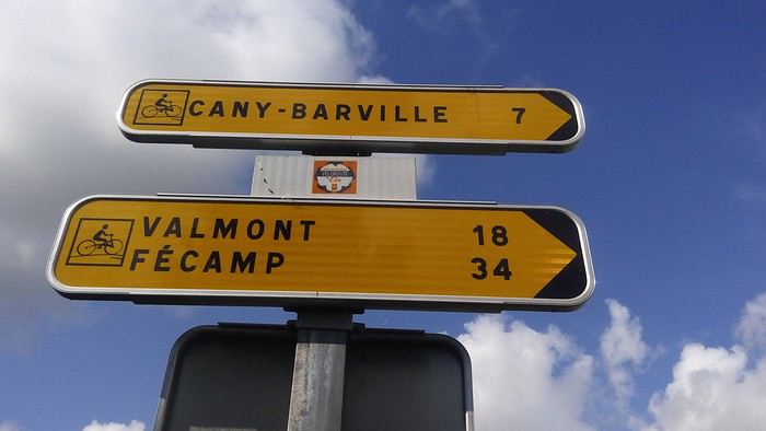 Before Cany-Barville, the route becomes temporary
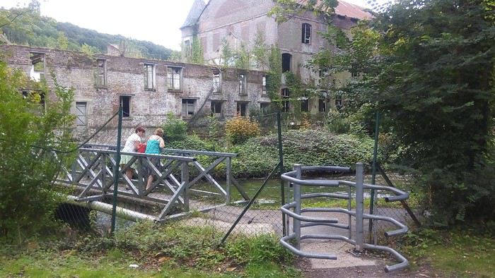 and you descend into the Durdent valley.
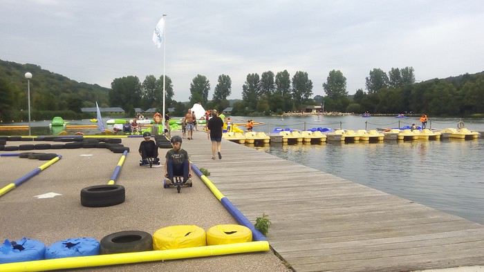 Where you can enjoy the leisure base at Lake Caniel.
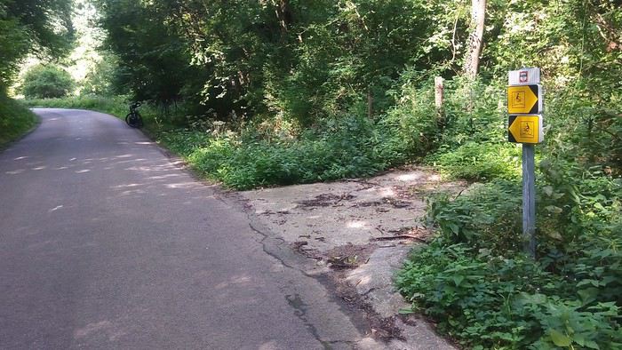 Before climbing back up toward Valmont
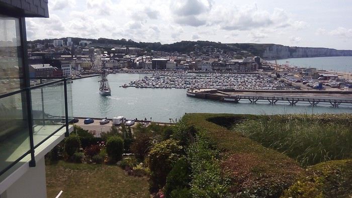 to arrive in Fécamp
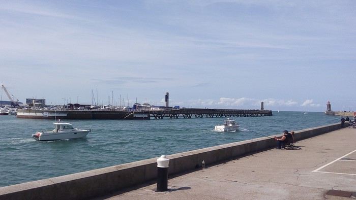 and its port.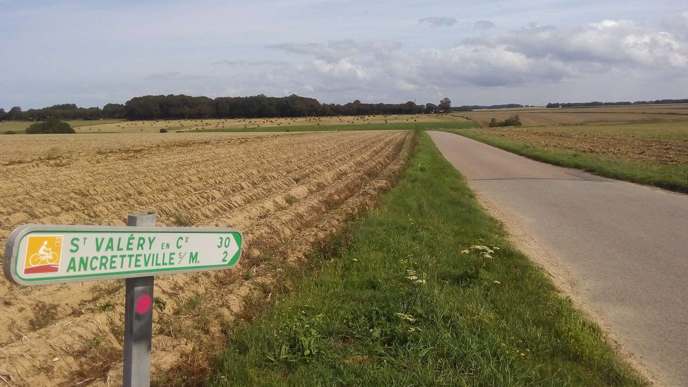
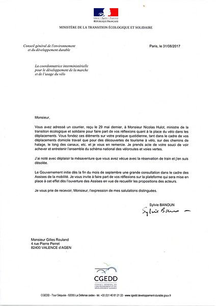
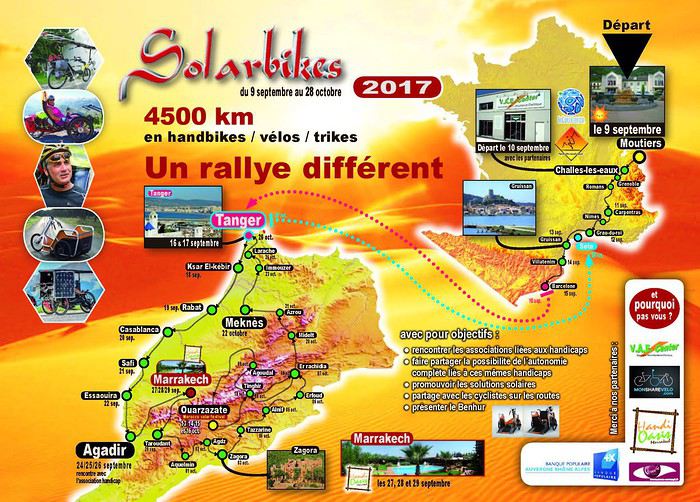 I planned to meet them in Gruissan, where they’d pass through on September 13, and try to keep up as far as Barcelona. If that worked out, I’d join them on the ferry to Tangier; otherwise, I’d continue solo.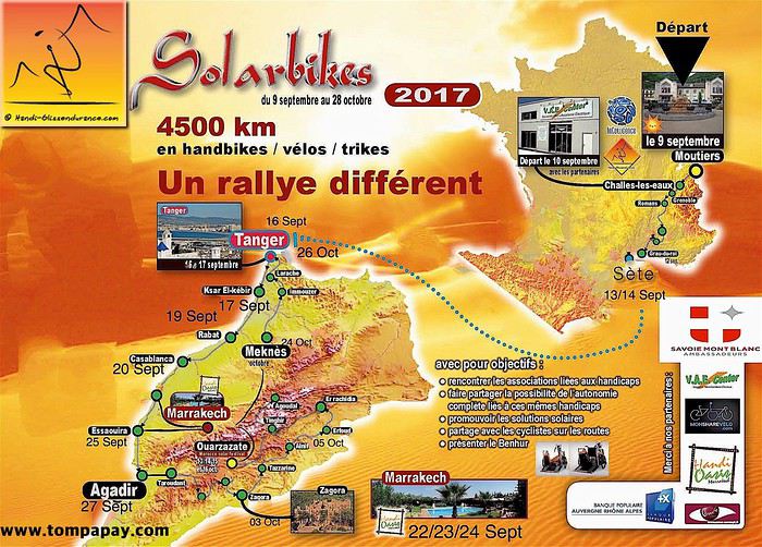
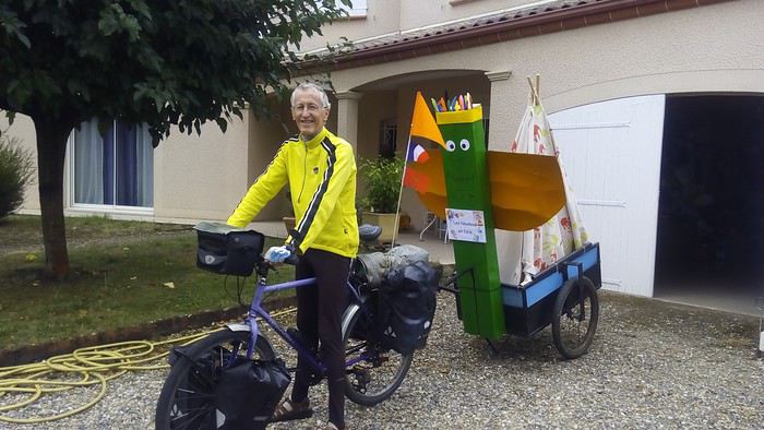
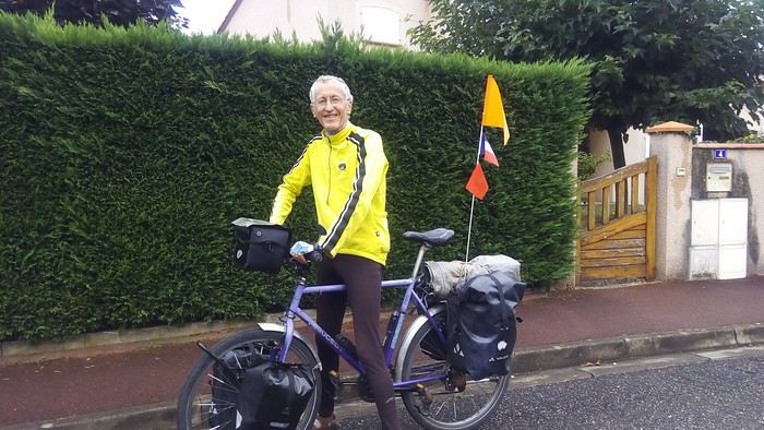
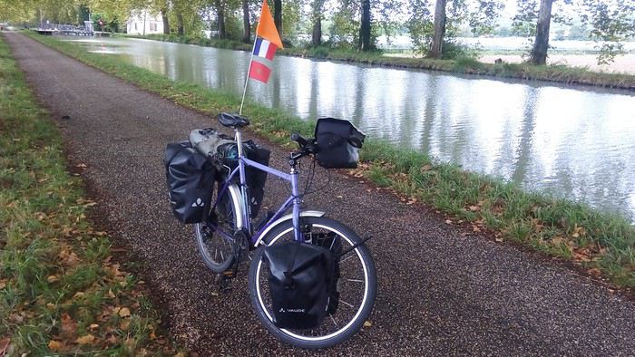
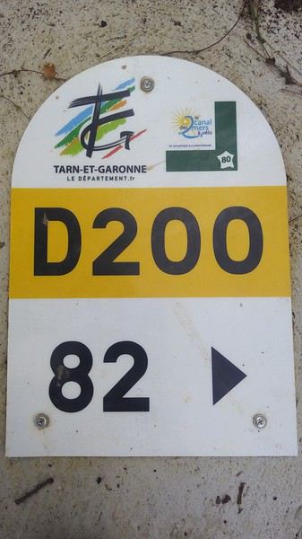 This indicates that the port of Valence d’Agen is 82 km from the twin bridges of Toulouse, where the Canal du Midi intersects and begins its route toward Bordeaux.
My department chose to name the bike path that replaced the old towpath "Départementale 200" and to place a marker every kilometer. I won’t leave it until I reach Toulouse.
Once in Haute-Garonne, I discover that the department has finally recognized it’s crossed by the Véloroute 80: the Canal des Deux Mers à Vélo.
This indicates that the port of Valence d’Agen is 82 km from the twin bridges of Toulouse, where the Canal du Midi intersects and begins its route toward Bordeaux.
My department chose to name the bike path that replaced the old towpath "Départementale 200" and to place a marker every kilometer. I won’t leave it until I reach Toulouse.
Once in Haute-Garonne, I discover that the department has finally recognized it’s crossed by the Véloroute 80: the Canal des Deux Mers à Vélo.
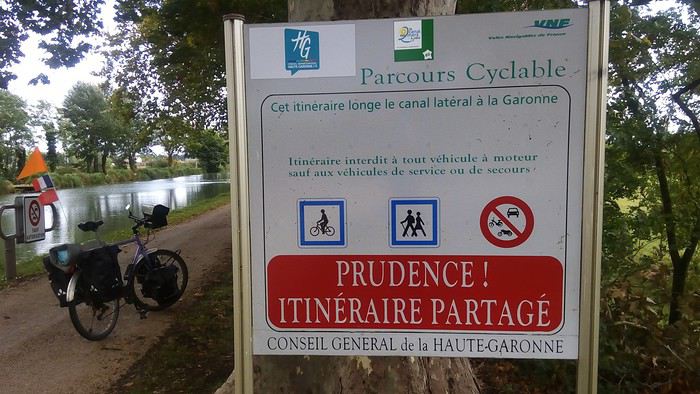 Stickers with the logo have been added to the information signs.
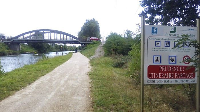 I do the same for a few minutes, during which I’m joined by a road cyclist.
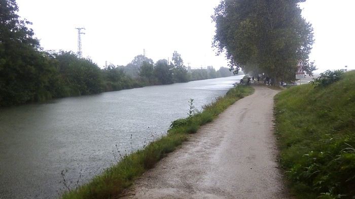 Then, arriving in Toulouse, the storm hits. I decide to take shelter under one of the twin bridges—though they’re actually triplets:
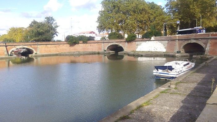 The third arch leads to the Canal de Brienne, which boats used to descend into the Garonne.
But to pass under it, you have to go down long steps. Impossible with my gear, so I give up and get back on my bike. Good call—the rain doesn’t stop, even after I’ve covered the 11 km to my daughter’s apartment. I’m glad to spend the night there, sheltered for my first night, even though she’s away hiking in Cape Verde.
The third arch leads to the Canal de Brienne, which boats used to descend into the Garonne.
But to pass under it, you have to go down long steps. Impossible with my gear, so I give up and get back on my bike. Good call—the rain doesn’t stop, even after I’ve covered the 11 km to my daughter’s apartment. I’m glad to spend the night there, sheltered for my first night, even though she’s away hiking in Cape Verde.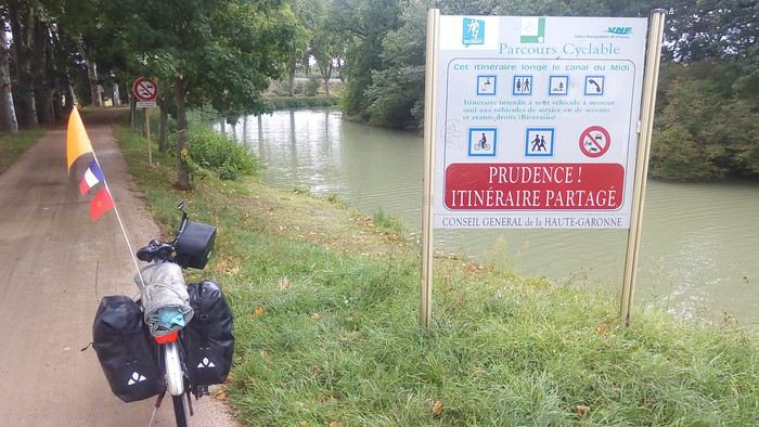 It’s not a logo every kilometer, but it’s better than nothing.
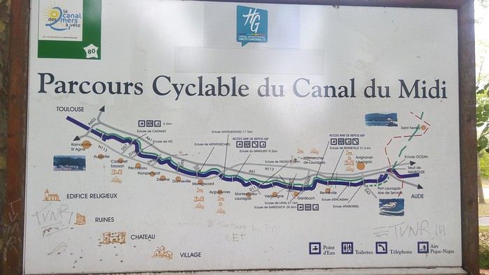 I enjoy the 50 km of bike path leading to Port Lauraguais. The surface has been redone on some sections. I’d taken photos of the machines during my last trip: https://voyageforum.com/v.f?post=8171245#8171245
A Swiss boat, Electra, silently crosses my path.
I enjoy the 50 km of bike path leading to Port Lauraguais. The surface has been redone on some sections. I’d taken photos of the machines during my last trip: https://voyageforum.com/v.f?post=8171245#8171245
A Swiss boat, Electra, silently crosses my path.
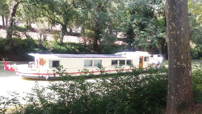 I send its photo to my future travel companions, Francine and Thomas. Like me, they left on the 9th, but from Moûtiers in Savoie. They’re not having the best weather—sunshine-wise—and are also getting soaked.
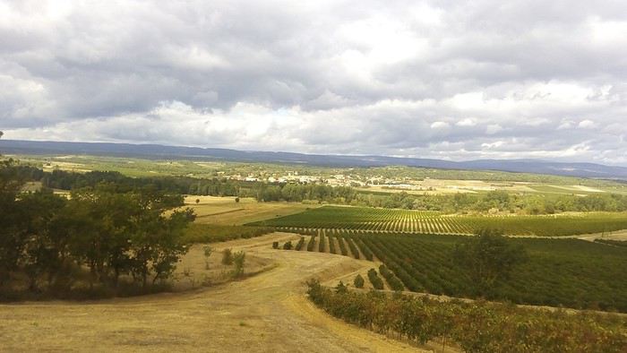 In this area, there’s no V80 signage or even route indications. As I’m about to follow the Canal du Midi for maybe the tenth time, I don’t risk putting my wheels in that muddy rut stretching over 100 km. The towpath is only slightly more passable near Carcassonne. Even though it’s not raining too hard today, given how much water fell yesterday, I’d only manage a few kilometers with my load before getting stuck. Even if there’s now a cycling route project from Royan to Sète:
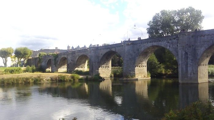 It’s a far cry from the late arrivals on headwind days on the towpath, with its ruts and roots. The campsite offers shared spots for hikers (up to 3 tents). Great idea—it helps reduce the price. I set up next to two young German hikers. Then I’m the only one enjoying the pool due to the chilly temperatures. If I’d come by car, I’d never have had the courage to swim.
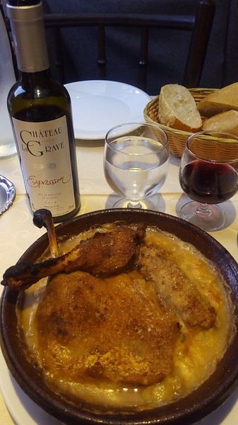 I pair my cassoulet with a local wine that encourages me to follow up with a cheese platter.
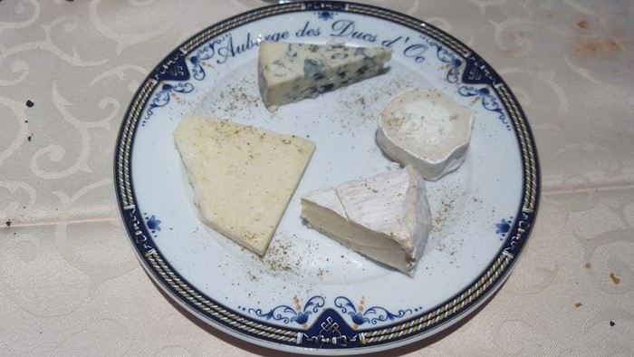
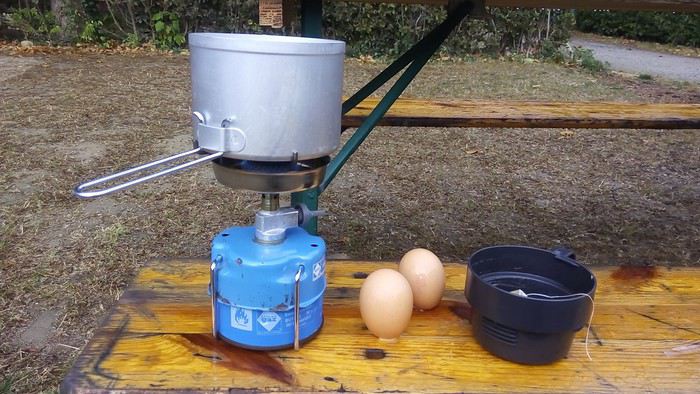 It’s the Globe-trotter model from Camping Gaz International, which I bought 30 years ago. The problem is that the small GT106 cartridges that fit with the burner inside the two nested pots haven’t been sold for 15 years (now only the C206 cartridges are available, which are much taller, and since they’re also puncture-style, you can’t remove them—you need a way to keep them in place). Luckily, my friend Dominique gave me a small one he had in his garage, and I’ve kept it carefully for a trip like this.
I set off with the wind at my back, taking back roads. One of them leads me through the La Grave estate, where the Minervois I drank the night before is produced.
It’s the Globe-trotter model from Camping Gaz International, which I bought 30 years ago. The problem is that the small GT106 cartridges that fit with the burner inside the two nested pots haven’t been sold for 15 years (now only the C206 cartridges are available, which are much taller, and since they’re also puncture-style, you can’t remove them—you need a way to keep them in place). Luckily, my friend Dominique gave me a small one he had in his garage, and I’ve kept it carefully for a trip like this.
I set off with the wind at my back, taking back roads. One of them leads me through the La Grave estate, where the Minervois I drank the night before is produced.
 I buy a melon in Marseillette, and the grower gives me the tomato I was going to buy. When I ask if I can eat the melon on the spot, she tells me there’s a table nearby by the Canal du Midi. There, I find a bus driver changing his gas cylinder, and we chat while I cut my melon. I reach Béziers via the D11, a route I’ve often taken to avoid the winding roads caused by elevation changes.
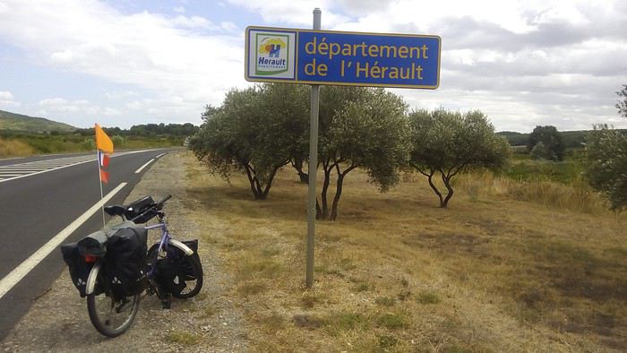 I pass tractors with trailers during the grape harvest season. Finally, I pick up the greenway that runs alongside the canal all the way to Portiragnes. With this great signpost, Béziers has clearly embraced its place on the EuroVelo 8 and the V80.
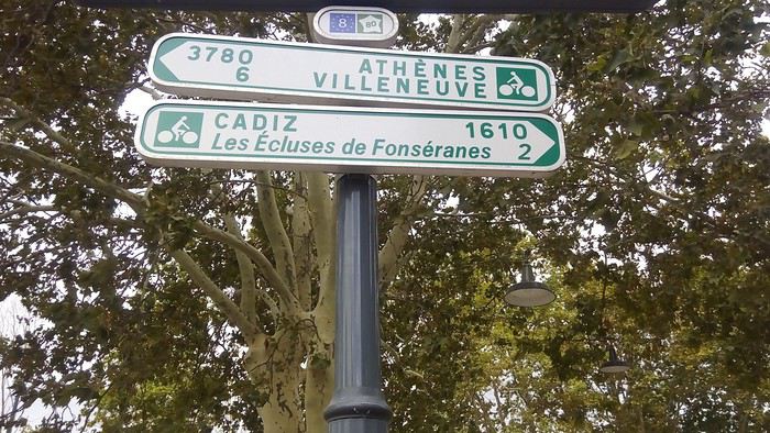 The first 2 km of the bike path have been resurfaced.
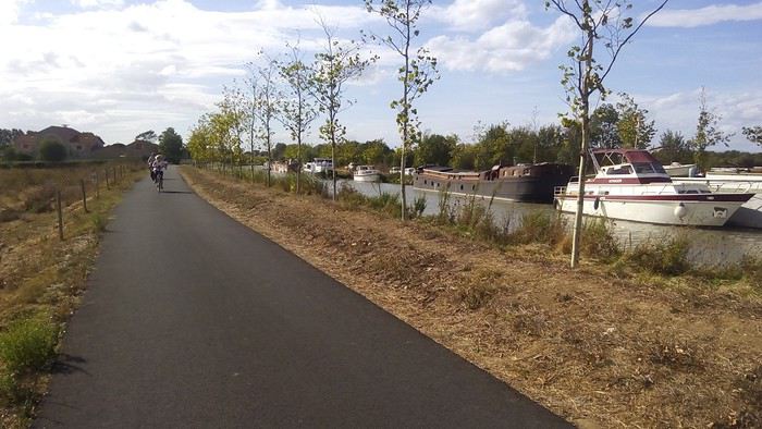 After that, there are plenty of cracks, but since they’re longitudinal, they’re not too bothersome.
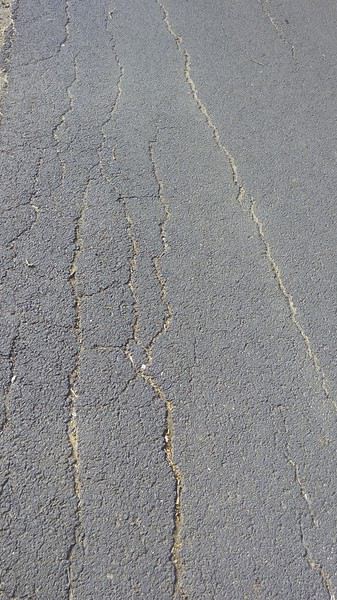 I cross paths with lots of cyclists on this section—it’s a shame it’s so short. Announcing Athens at 3,780 km and Cadiz at 1,610 km isn’t enough; Hérault really needs to develop this route.
At the campsite, it’s easy to plant my tent stakes in the sand, but the wind makes it even harder to pull them out.
I cross paths with lots of cyclists on this section—it’s a shame it’s so short. Announcing Athens at 3,780 km and Cadiz at 1,610 km isn’t enough; Hérault really needs to develop this route.
At the campsite, it’s easy to plant my tent stakes in the sand, but the wind makes it even harder to pull them out.
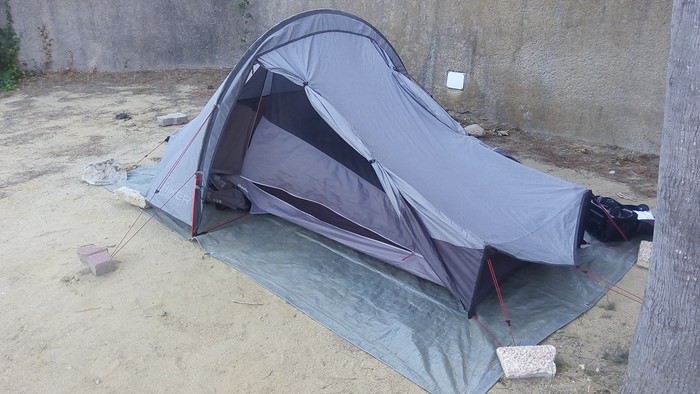 Luckily, there are weights on-site, as this is a common issue. The tent dries quickly, and my small laundry will barely be damp by morning.
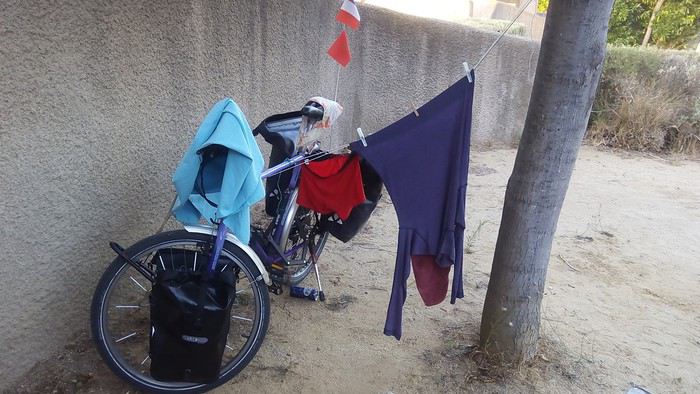
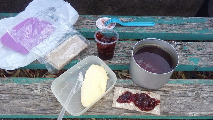 On the road, I stop where a fire had started.
 But two police officers on motorcycles turn around and alert the firefighters, whom I’ll run into a bit further down the road.
I pass near the Canal du Midi.
But two police officers on motorcycles turn around and alert the firefighters, whom I’ll run into a bit further down the road.
I pass near the Canal du Midi.
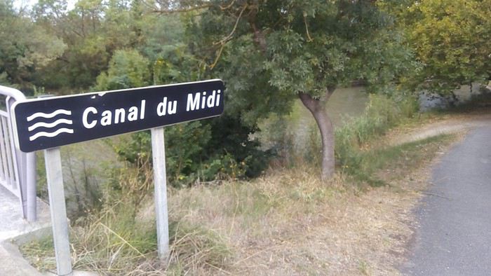
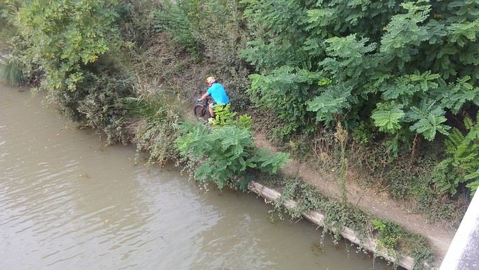 Getting through Agde is tricky because while there’s a bike path along the boulevard toward Sète, it switches sides, and when it ends, there’s no signage to continue along the old N113, which isn’t paralleled by a bike lane. But as soon as I reach Sète’s long beach,
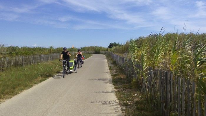 it’s amazing—where RVs used to park for kilometers, the road has been moved inland, leaving the coastline free for pedestrians and cyclists. The pavement is still in excellent condition and doesn’t show its age, and it looks like the street sweeper comes by daily in the summer. That’s a must, given how windy the beach is and how shifting the sands can be.
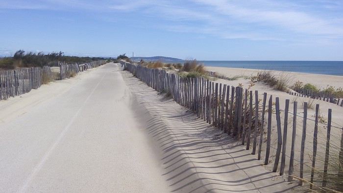 It’s worth applauding! The path is spotless, and new, original kilometer markers have been installed. I chose to take a photo of the seventh one.
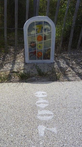 After a few kilometers, I take my bike down onto the Plage de la Baleine. Feeling reassured by the 3 or 4 tricky steps I’d have to climb back up,
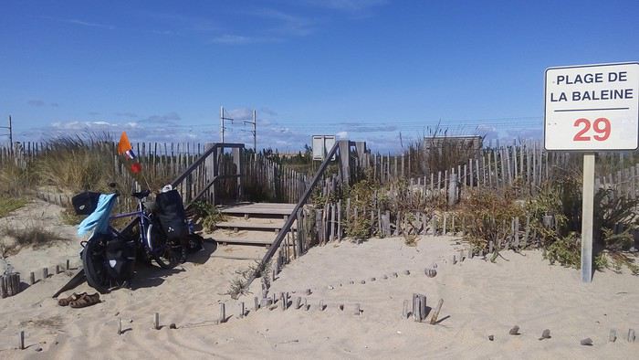 I go for a swim without locking my bike or transferring my money and papers into my waterproof box (which would float if I tied it around my neck).
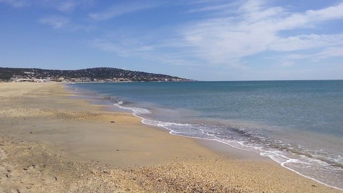 Almost deserted, the beach is beautiful with a view of Mont Saint-Clair. Then I treat myself to some fried fish at a terrace.
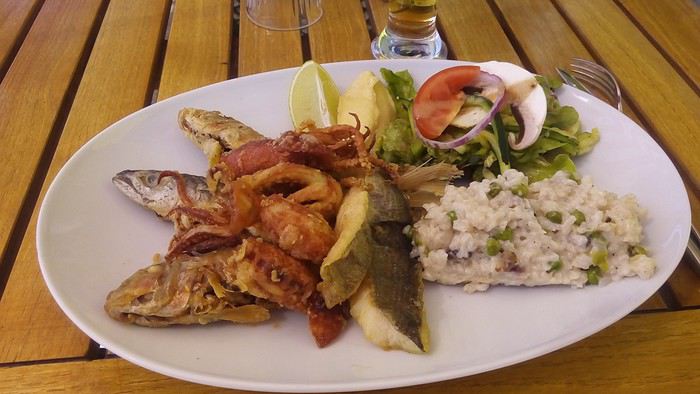 On the last kilometer of the beach, an autonomous electric shuttle is being tested.
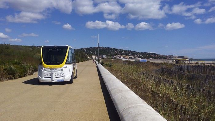 Then the bike path, which was briefly interrupted as I arrived in Sète, resumes along the eastern corniche and takes me to the port.
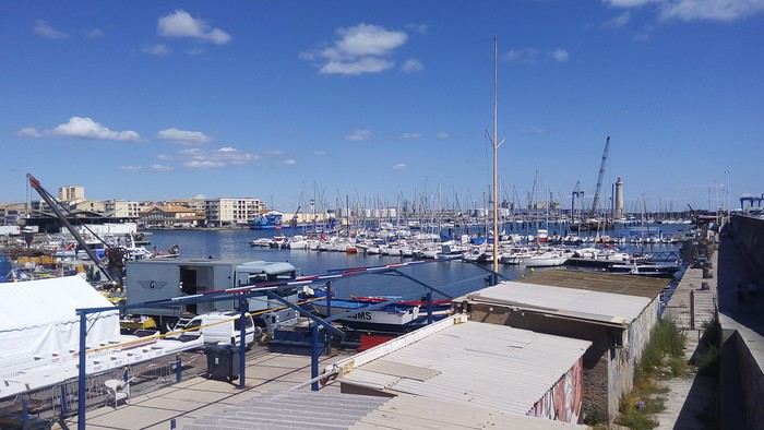 Further on, I find Quai du Maroc
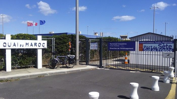 where I assume the ferries depart. But the ferry terminal is further away. I head there, passing docked tuna fishing boats.
 Due to quotas, they’re only used a few months a year. I take the opportunity to check at the ticket counters for the next day’s 8 PM departure. You only need to arrive 2 hours early, not 4 as stated on the reservation. Then I follow the Canal de Sète au Rhône
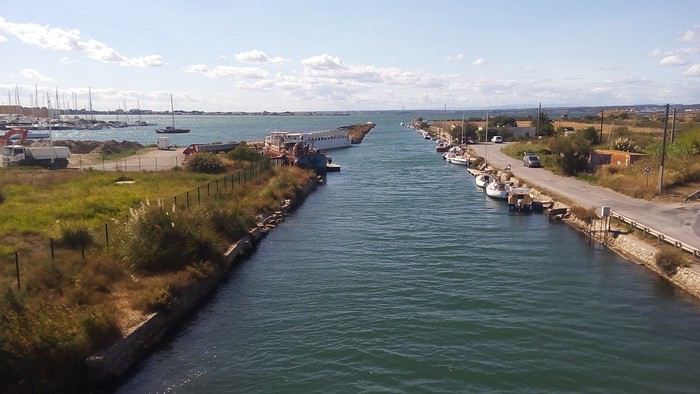 to get to the Balaruc campsite, where the organizers had planned to stay.
 But they warned me they wouldn’t be at the meet-up and would only arrive for the boat departure. It seems they’ve had a lot of issues, but they’re not talking about them on Facebook. I’ll find out later that Francine had to change her engine—the one delivered had a defect—Joy had several flat tires on her cargo bike, and they’ve been dealing with bad weather.
So I set up at the campsite www.mas-du-padre.com/, mentioning that an Italian cyclist might arrive. Thomas had told me he’d participate and come to the meet-up.
But they warned me they wouldn’t be at the meet-up and would only arrive for the boat departure. It seems they’ve had a lot of issues, but they’re not talking about them on Facebook. I’ll find out later that Francine had to change her engine—the one delivered had a defect—Joy had several flat tires on her cargo bike, and they’ve been dealing with bad weather.
So I set up at the campsite www.mas-du-padre.com/, mentioning that an Italian cyclist might arrive. Thomas had told me he’d participate and come to the meet-up.
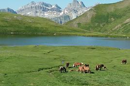
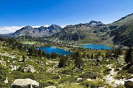
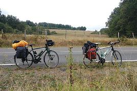



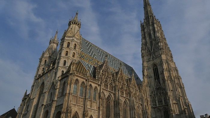
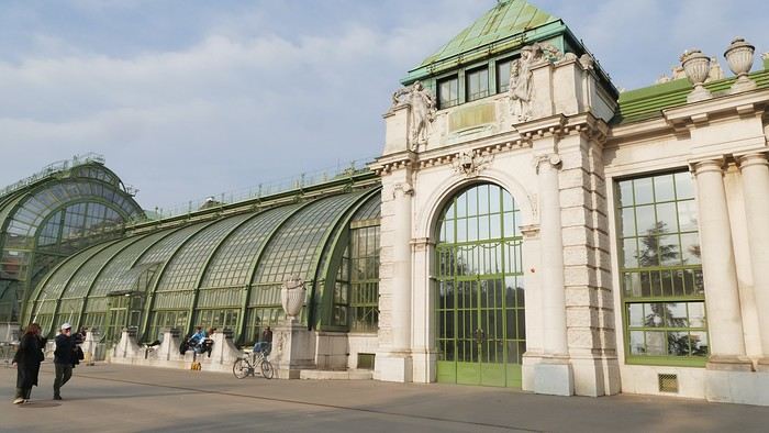
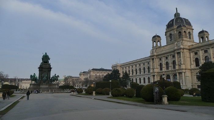
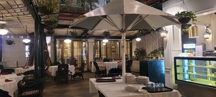
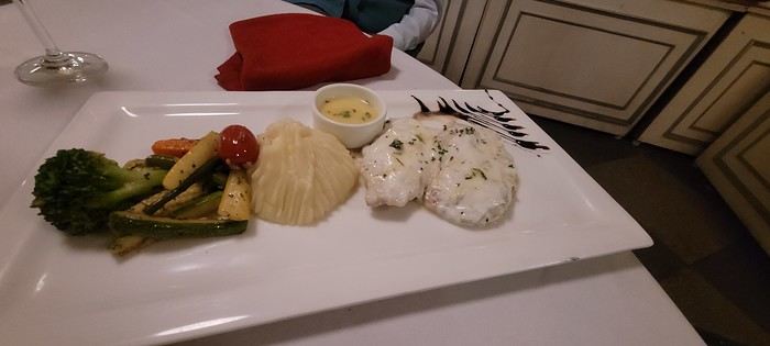




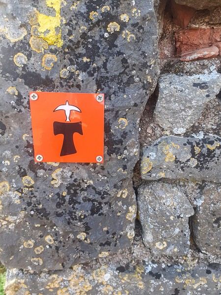
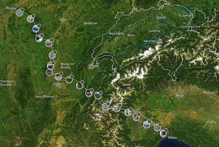
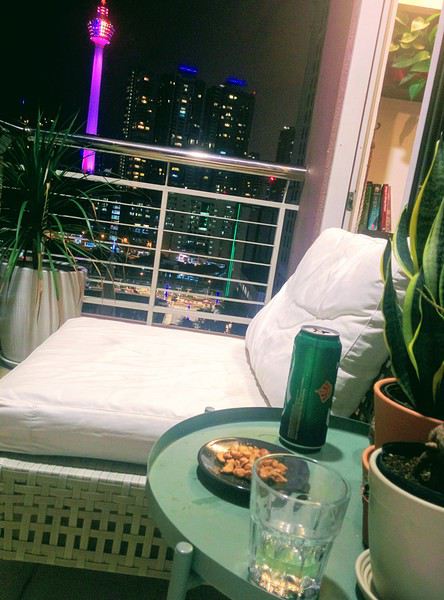
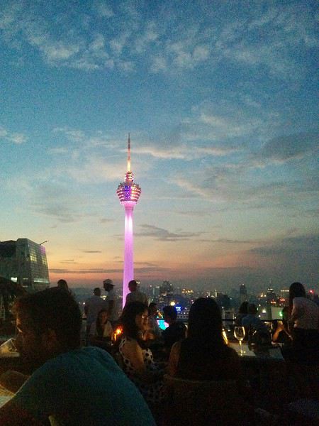
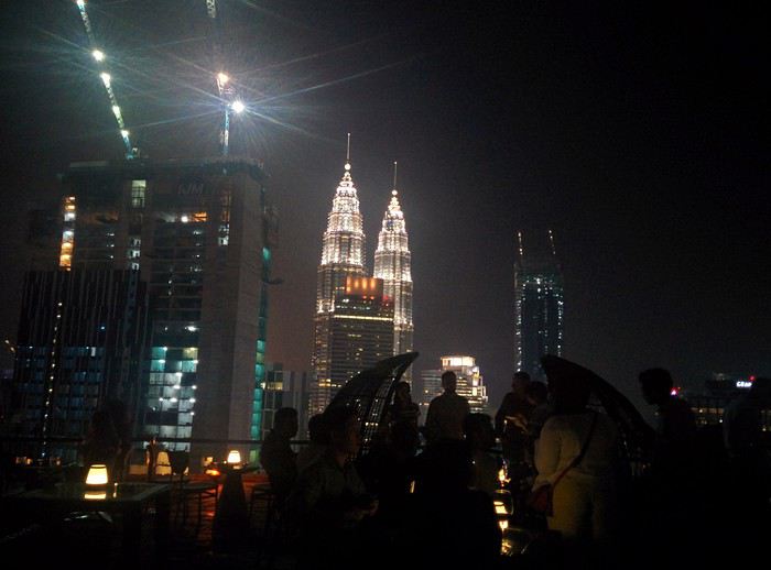












 Come along, I'm taking you to this country where it's so nice to wander and slow down...
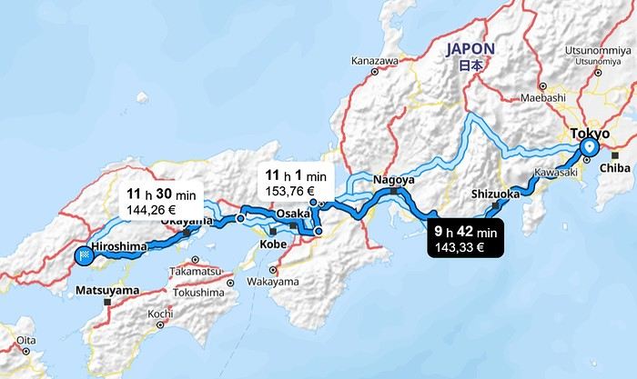
 I’m inviting you on a stroll through my drawings—a completely subjective, far from exhaustive, and totally personal take, since it’s based on my own sketches. I put this travel journal together after returning in late 2024, mostly using felt-tip pens and pencils, with a few collages thrown in. I worked from our personal photos.
 And in Kyoto, Nishiki Market:




 A little sneak peek?
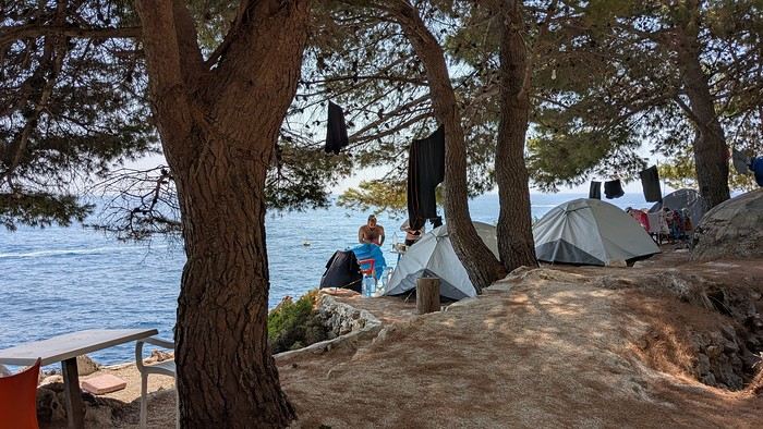
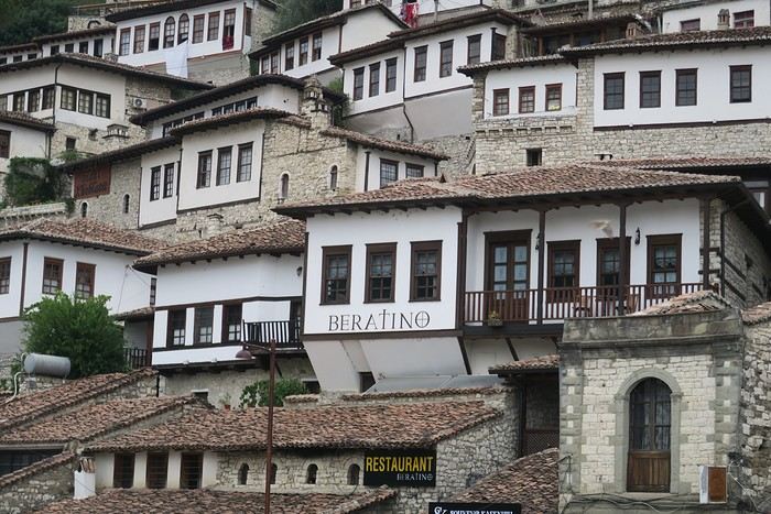
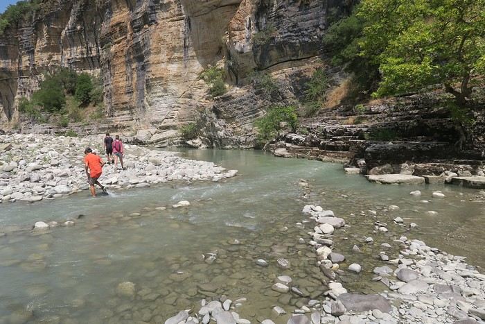
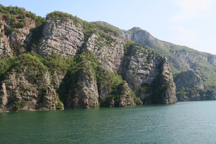




 Since Albania isn’t part of Europe when it comes to phone service (at least not yet! :-)), we had to buy a physical SIM card—otherwise, the bill would’ve been sky-high if we’d used our French plan! We got one from Vodafone AL at the airport. You can buy online before leaving with a virtual SIM (e-SIM) for compatible phones, so you don’t have to swap cards. But given the uncertainty about choosing a plan online, we preferred buying one directly at Tirana Airport. Cost: 31 € for 100 GB. That’s way too much—100 GB is overkill. For 40 GB, it’s 27 €, and the plan lasts 21 days. The price difference isn’t huge, and it was cheaper than online. This plan covers all the countries along the Balkan range.
Money tip: All guesthouses and accommodations accept euros. The local currency in Albania is the LEK. In Montenegro, it’s the euro. Bank fees for withdrawing money from an ATM in Albania are pretty steep: 8 € for a withdrawal of 600–700 LEK (about 200 €)! So it’s better to withdraw cash (euros) in France. Oh, and we booked all our accommodations before leaving, but payment is always in cash. Budget around 400–500 € for 9 days of trekking.
Since Albania isn’t part of Europe when it comes to phone service (at least not yet! :-)), we had to buy a physical SIM card—otherwise, the bill would’ve been sky-high if we’d used our French plan! We got one from Vodafone AL at the airport. You can buy online before leaving with a virtual SIM (e-SIM) for compatible phones, so you don’t have to swap cards. But given the uncertainty about choosing a plan online, we preferred buying one directly at Tirana Airport. Cost: 31 € for 100 GB. That’s way too much—100 GB is overkill. For 40 GB, it’s 27 €, and the plan lasts 21 days. The price difference isn’t huge, and it was cheaper than online. This plan covers all the countries along the Balkan range.
Money tip: All guesthouses and accommodations accept euros. The local currency in Albania is the LEK. In Montenegro, it’s the euro. Bank fees for withdrawing money from an ATM in Albania are pretty steep: 8 € for a withdrawal of 600–700 LEK (about 200 €)! So it’s better to withdraw cash (euros) in France. Oh, and we booked all our accommodations before leaving, but payment is always in cash. Budget around 400–500 € for 9 days of trekking. I really liked Shköder, especially its pedestrian street lined with restaurants and lit up at night. It’s a great place to stroll and eat. The food isn’t expensive—two big salads and two beers: 14 € :-) . Fruit prices are also very reasonable: 3 € for a kilo of cherries, compared to 9–10 € in France.
Religions coexist peacefully in these countries—Catholics and Muslims. From our balcony, my friend heard the call to prayer for the first time, coming from one of the city’s mosques.
I really liked Shköder, especially its pedestrian street lined with restaurants and lit up at night. It’s a great place to stroll and eat. The food isn’t expensive—two big salads and two beers: 14 € :-) . Fruit prices are also very reasonable: 3 € for a kilo of cherries, compared to 9–10 € in France.
Religions coexist peacefully in these countries—Catholics and Muslims. From our balcony, my friend heard the call to prayer for the first time, coming from one of the city’s mosques.
 We slept in the heights of Theth at a new guesthouse, "Mountain Vista Shkafi," with an amazing view.
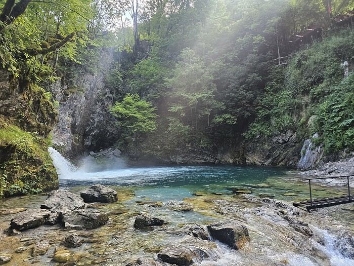


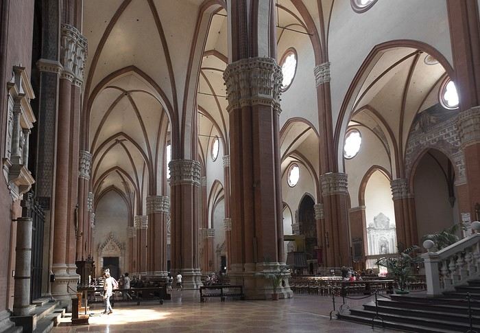
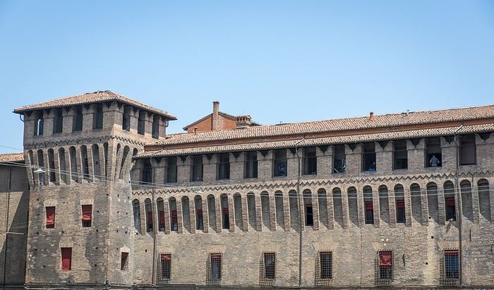 But Bologna’s real charm lies in its porticoes, which were added to the UNESCO World Heritage list in 2021: 62 km of arcades running along buildings, letting you walk sheltered from the sun or rain. Back in 1288, the city required houses to include private arcades for public use. In the city center, you can stroll under 32 km of porticoes in all sorts of styles—some plain, some ornate—with a strong presence of red tones.