The itinerary
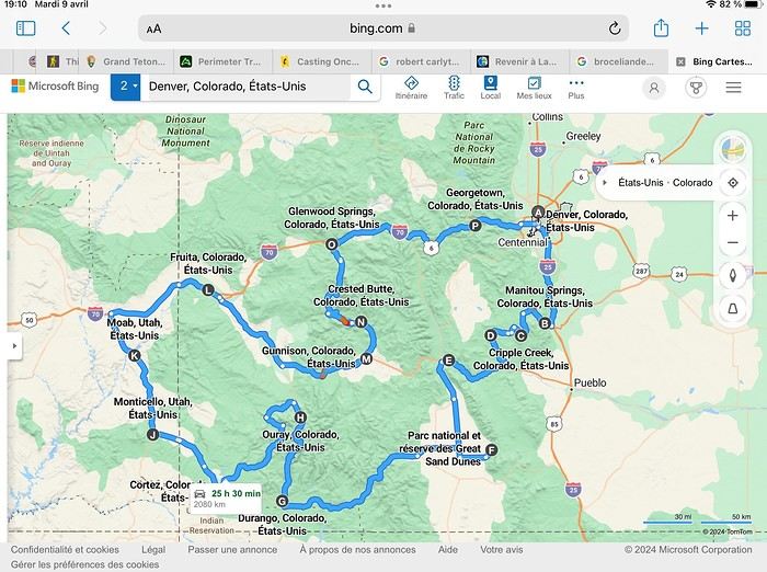
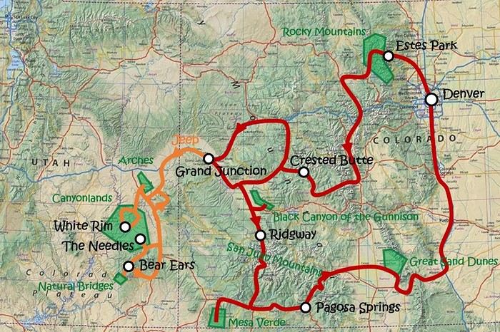
Day 1: Flight Marseille-Paris-Denver, then Manitou Springs (133 km) Day 2: Manitou Springs (49 km) Day 3: Cripple Creek (104 km) Day 4: Salida (254 km) Day 5: Great Sand Dunes (231 km) Day 6: Durango (283 km) Day 7: Durango (Durango-Silverton train) Day 8: Ouray (121 km) Day 9: Ouray (Perimeter Trail hike) Day 10: Cortez (213 km) Day 11: Cortez (Mesa Verde National Park, 134 km) Day 12: Monticello (268 km, detour to Chesler Park) Day 13: Moab (171 km, Delicate Arch) Day 14: Moab (98 km, Fisher Towers) Day 15: Moab (171 km, Canyonlands) Day 16: Fruita (210 km, Colorado National Monument) Day 17: Crested Butte (224 km via Kebler Pass) Day 18: Crested Butte (57 km) Day 19: Glenwood Springs (150 km) Day 20: Glenwood Springs (118 km, Rifle State Park) Day 21: Georgetown (258 km via Independence Pass) Day 22: Denver (123 km), then return flight
We speak very little English. We spent 21 nights there and covered a 3,400 km loop by car and 160 km on foot (we’re still trying to hike while we’re in shape) from Denver in September 2024. We wanted this road trip to help us explore Colorado a bit more—we’d only spent 6 nights there in 2019—and to see it during the fall foliage season. We also wanted to return to Utah (we love Moab) to enjoy its red rocks, which we adore.
In the prices you see (some in euros, others in dollars), I’ve included bank fees and exchange charges. The flights, car, and parking were paid by credit card when we booked in February. Usually, we book around November, but some obligations kept us from doing it earlier. We downloaded the MPC (Mobile Passport Control) app on our phone, which saved us time at immigration.
📊 **Budget: just under 8,500 € for both of us, all included**
📊 **Flights** Marseille-Paris (CDG)-Denver: 2,152 € for both of us, with one checked bag each
📊 **ESTA and America the Beautiful Pass** The ones from our 2023 road trip were still valid
📊 **Parking at Marseille airport: 122 €**
📊 **Car: Nissan Rogue (the French X-Trail) from Hertz: 1,165 €** By booking through Air France (and earning miles), we got a 15% discount. Hertz offers a free Hertz Gold Plus Rewards program, which gives us priority counter service.
📊 **Accommodation: 3,050 €** We stayed in motels and hotels of various ranges (from 100 € to 270 € per night, depending on the city), all booked through Hotels.com or Booking. Booking sometimes offers cheaper rates if you book via the "Booking mobile" app. We also got some preferential rates thanks to our Genius 2 status. Out of 21 nights, only one place didn’t include breakfast.
📊 **Other expenses (activities booked by credit card before leaving)** Durango-Silverton train: 210 € (we booked the enclosed vintage coach in March) Mesa Verde: Balcony House: 15.15 € (booked 14 days before the visit) Timed-entry passes for Arches National Park: 6 € for 3 days (booked June 1 for September entries via http://récreation.gov/). We booked three different days to play with the weather.
📊 **Supplementary insurance with AVA: 204 €** (due to our age 😅 and the high cost of medical consultations in the USA)
📊 **Cash: 1,540 €** We left with 1,000 € exchanged before departure and made two withdrawals (500 $ and 200 $). This cash was used to pay for: - Evening restaurants and tips (between 70 $ and 95 $ for two meals and two drinks) - Two state parks: Dead Horse State Park (20 $) and Rifle State Park (10 $) - The Monarch Pass gondola (24 $) - Midday picnics - Gas (slightly cheaper with cash): 204 $ for 3,400 km - Personal souvenirs and little treats.
Like in our previous road trips, we didn’t rent a GPS. We used the offline GPS app Here We Go, for which we’d downloaded maps of Colorado and Utah from France, as well as a new offline app called Organic Maps as a backup—though we didn’t end up needing it.
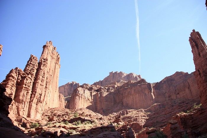
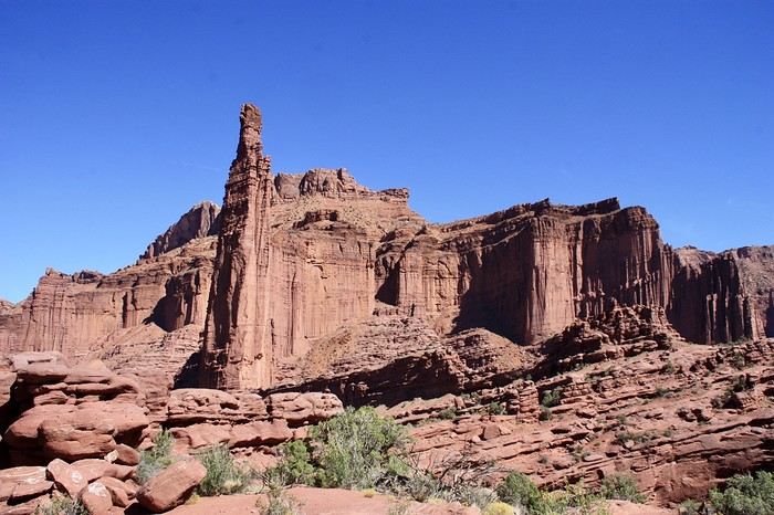
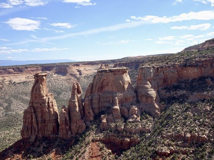
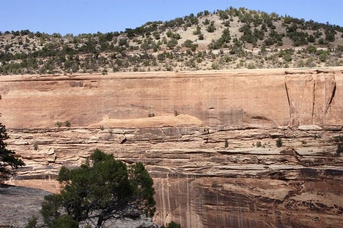
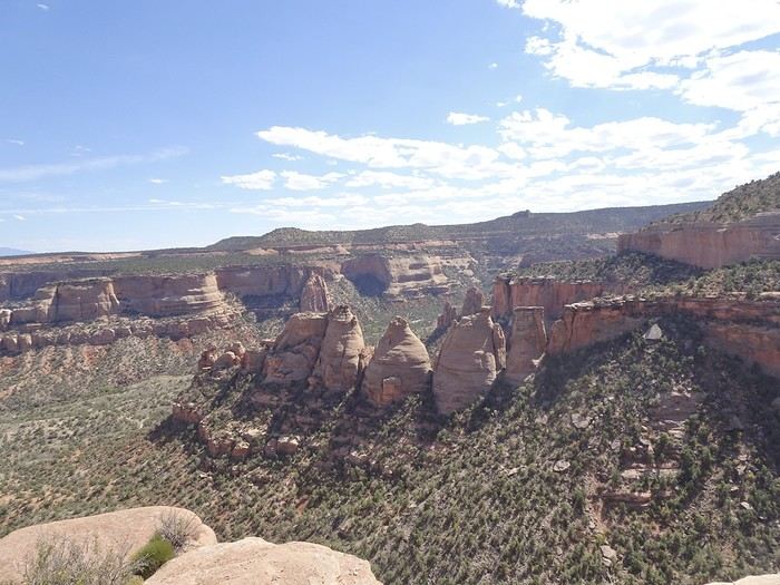
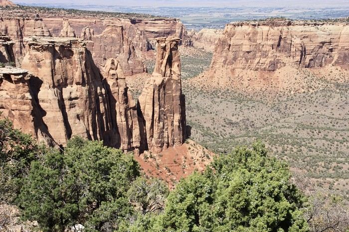
❤️❤️❤️ **Highlights (there are so many!)** 📍 The stunning landscapes of Colorado, especially with the fall colors 📍 A step back in time at the old farm in Florissant Fossil Beds National Monument 📍 The prairies of Cripple Creek and the mining remnants of the Vindicator Trail 📍 The cheeky chipmunks in the ghost town of St. Elmo 📍 Great Sand Dunes and its soft sand 📍 The steam train between Durango and Silverton: we’re glad we chose the round-trip because it rained heavily on the way there, but we got to enjoy the scenery on the way back when the sun came out 📍 The unexpected meet-up with Michèle from the group outside a restaurant in Durango 📍 The hot springs in Ouray 📍 Mesa Verde and its still-vibrant past 📍 The red rocks of Moab and Delicate Arch at sunset 📍 The lace-like Fisher Towers and the view from the end of the trail 📍 The gorgeous Route 128 leading to Colorado National Monument—small, easy to visit, and so beautiful 📍 The colors of the fabulous Kebler Pass, Crested Butte, and especially the hike through the golden aspens (Lower and Upper Loop) 📍 The waterfalls at Rifle State Park 📍 The tundra of Independence Pass 📍 The Halloween decorations in Georgetown and Idaho Springs
😞😞 **Flops (there are very few!)** 📍 The viewpoints we missed because they weren’t well-marked or we didn’t see the signs 📍 The closure of some hiking trails (Hanging Lake and parts of Canyonlands) and the Sal Mountain Loop road, which kept us from accessing it 📍😢 The Chesler Park hike we had to cut short due to poor time management—180 km between our stop in Cortez meant we didn’t arrive until 10:30 AM, way too late for a 17 km hike.
Hope this helps! Have a great evening, everyone, and see you soon! 😊
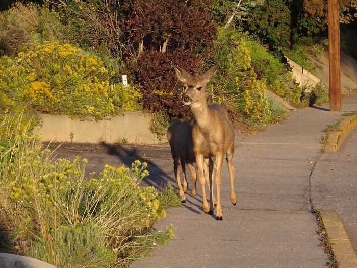 That put me in a good mood for the rest of the day.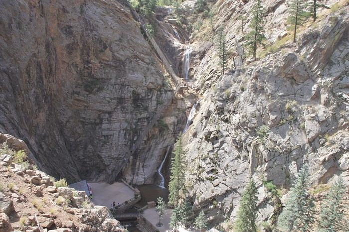
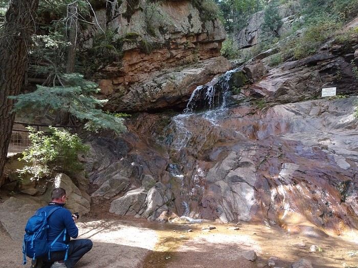
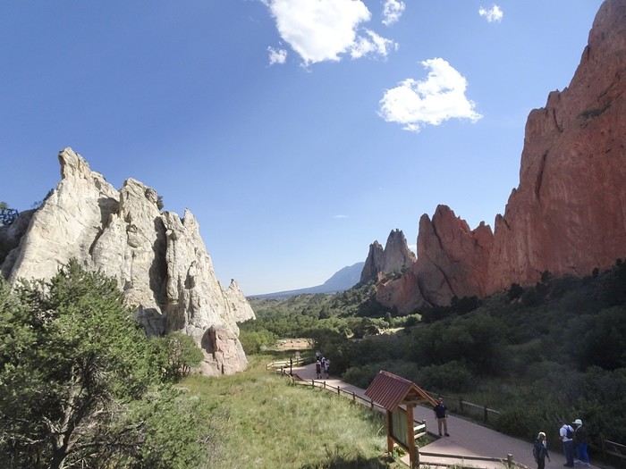
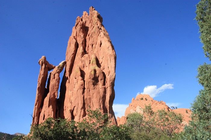
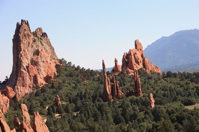
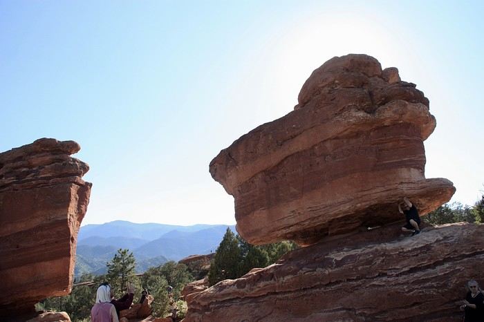
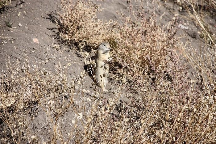
 We leisurely walked the Hombeck Wild Life Loop (2 hours to cover 6 km, with some steep climbs). Even though we didn’t see many animals—just a few playful prairie dogs—
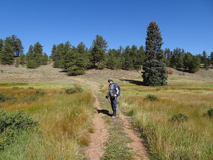
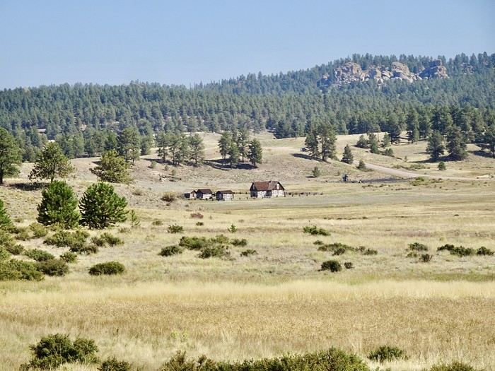
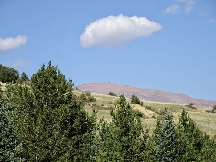
 the hike and its views of the distant mountains, in these rolling prairie landscapes and pine forests, were really enjoyable.
 and then Victor
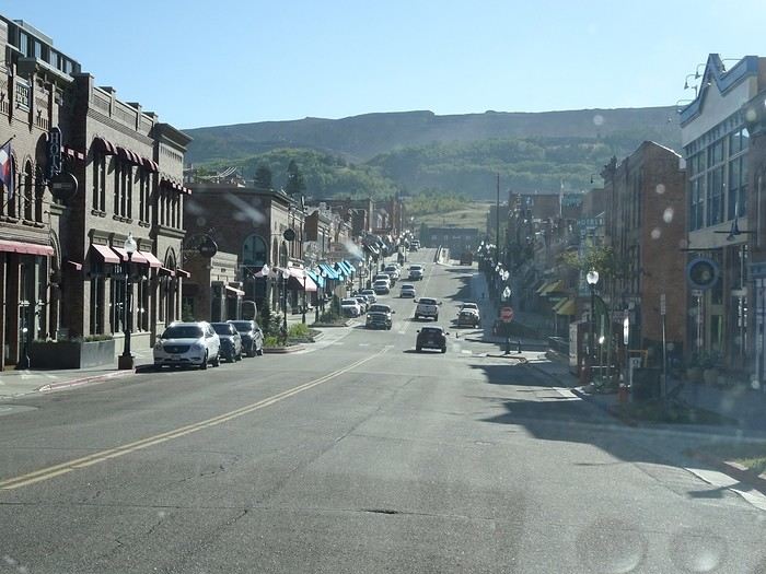
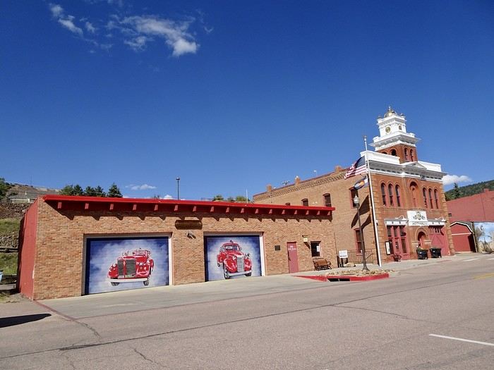
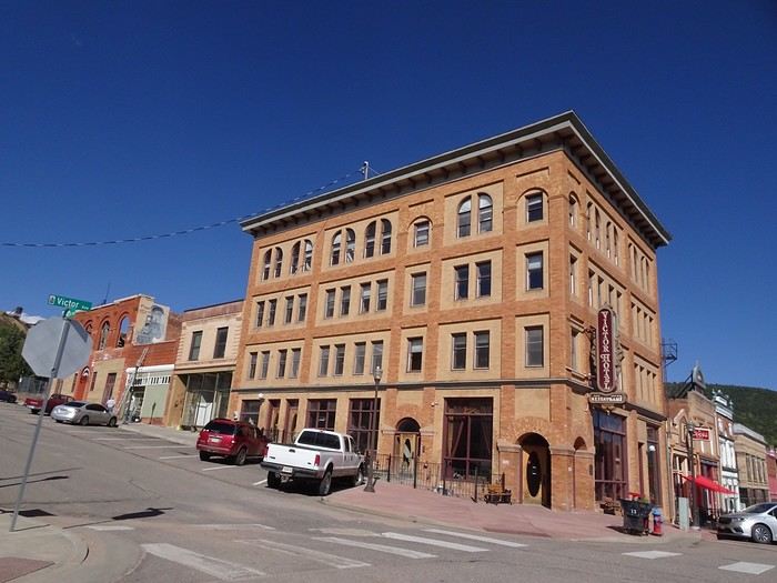 At nearly 3,000 meters, these two towns were born after gold deposits were discovered in 1880 (over 500 mines were active here). After gold production declined, Cripple Creek became almost a ghost town. The legalization of gambling in 1991 brought it back to life when the town renovated its historic buildings into casinos. As for Victor, it still has a historic district with beautiful brick buildings, and without the many casinos, it feels much more authentic.
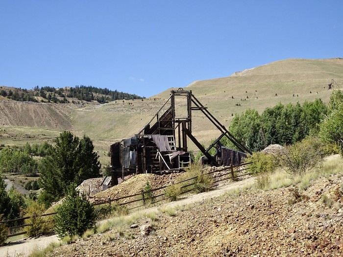
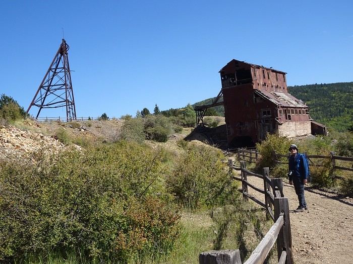
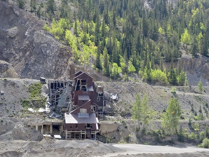
That’s where we went for a good hour’s hike to explore the mining remnants of the Vindicator Trail.
At nearly 3,000 meters, these two towns were born after gold deposits were discovered in 1880 (over 500 mines were active here). After gold production declined, Cripple Creek became almost a ghost town. The legalization of gambling in 1991 brought it back to life when the town renovated its historic buildings into casinos. As for Victor, it still has a historic district with beautiful brick buildings, and without the many casinos, it feels much more authentic.
That’s where we went for a good hour’s hike to explore the mining remnants of the Vindicator Trail.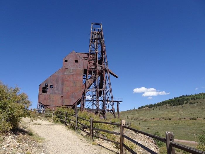
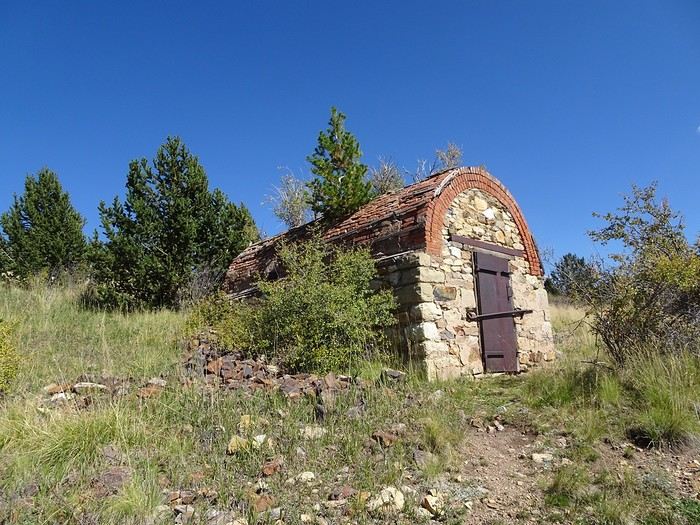
 The powder magazine where dynamite was stored
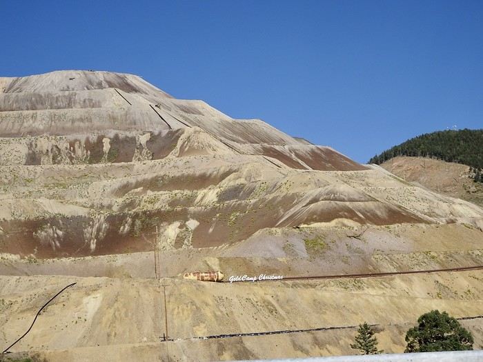
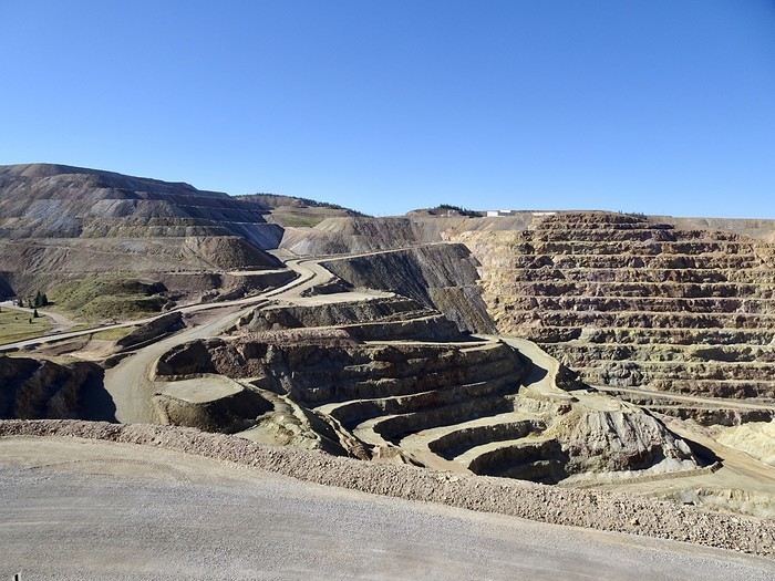
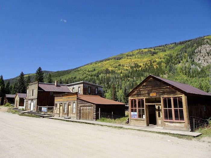
 We wonder how the people who live there make a living.
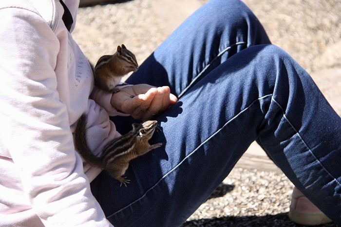
 and I delight in the dozens of bold chipmunks climbing on us, begging for the seeds that some clever person decided to sell (not very respectful of nature, but what a joy they brought me!!!!).
 We’re on one of the 6 Continental Divides in the USA (the watershed line), meaning the boundary between two drainage basins: water to the right of this line flows toward the Atlantic, and water to the left flows toward the Pacific.
We start at 3,454 m. The walk is quick and nice (we’re alone in our bubble), and from the top at 3,657 m, we have a 360° view of 5 ranges of the Rocky Mountains.
We’re on one of the 6 Continental Divides in the USA (the watershed line), meaning the boundary between two drainage basins: water to the right of this line flows toward the Atlantic, and water to the left flows toward the Pacific.
We start at 3,454 m. The walk is quick and nice (we’re alone in our bubble), and from the top at 3,657 m, we have a 360° view of 5 ranges of the Rocky Mountains.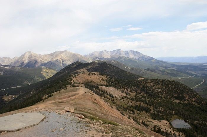
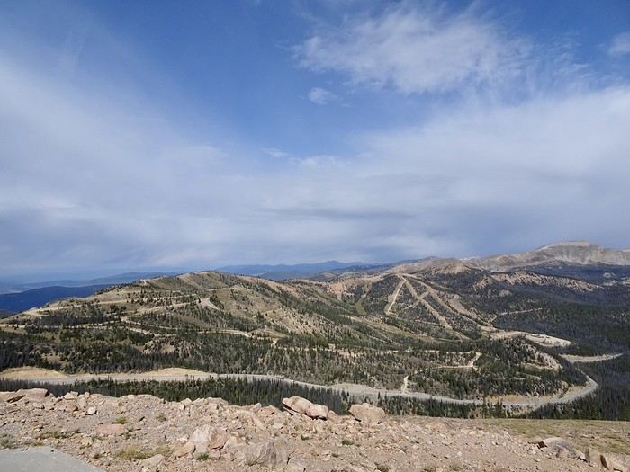
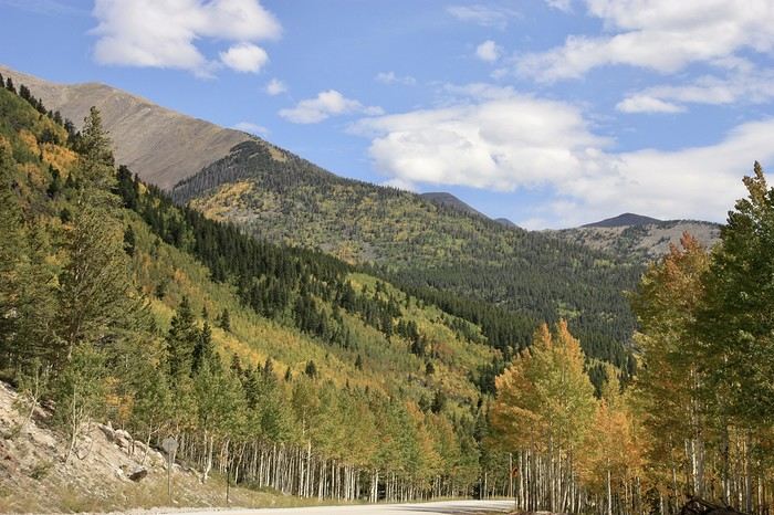 The flat expanse of stunted shrubs that replaced the mountain vegetation makes the road to Great Sand Dune monotonous. The sun, which had replaced the few morning raindrops, is now hiding. We make a quick stop at the UFO Watchtower along the way.
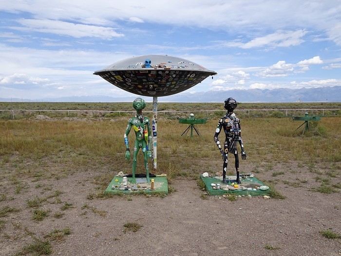 - It’s an observation platform that serves as a UFO lookout since some have supposedly been spotted here. The adorable elderly lady who built this observation tower in 2000 tried to tell me about her collection of evidence (newspaper articles, photos), but my school-level English didn’t let me understand much.
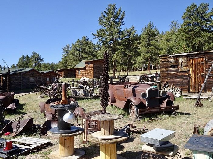
Here again, an indescribable jumble of objects, each more eclectic than the last. There’s even a huge and very friendly wooden Sasquatch that’s super cute.
If the $5 entry fee helps her put butter on her spinach or ketchup on her fries, I won’t have wasted my time. The sky is gray, and a crazy wind is whipping up sand whirlwinds that we can see from miles away before arriving at the park.
Quick stop at the park’s visitor center, then a quick drop-off at the lodge to leave our suitcases, and off we go to the top of High Dune, which is 210 m high.
- It’s an observation platform that serves as a UFO lookout since some have supposedly been spotted here. The adorable elderly lady who built this observation tower in 2000 tried to tell me about her collection of evidence (newspaper articles, photos), but my school-level English didn’t let me understand much.
Here again, an indescribable jumble of objects, each more eclectic than the last. There’s even a huge and very friendly wooden Sasquatch that’s super cute.
If the $5 entry fee helps her put butter on her spinach or ketchup on her fries, I won’t have wasted my time. The sky is gray, and a crazy wind is whipping up sand whirlwinds that we can see from miles away before arriving at the park.
Quick stop at the park’s visitor center, then a quick drop-off at the lodge to leave our suitcases, and off we go to the top of High Dune, which is 210 m high.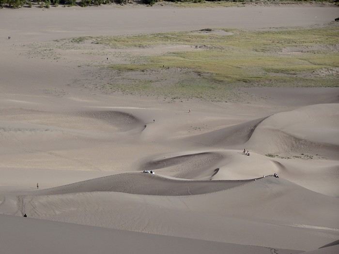 Since the sky is gray, the sand isn’t hot, but a biting wind pelts our faces with sand, and we have to push hard to move forward. Several times, we almost turned back, but it’s too beautiful—we have to keep going.
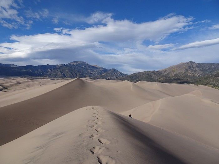 Just a little farther—we’ll make it to the next ridge. We catch our breath, stop, and keep going!! At one point, we’re completely out of energy!! We made it to the top of this ridge.
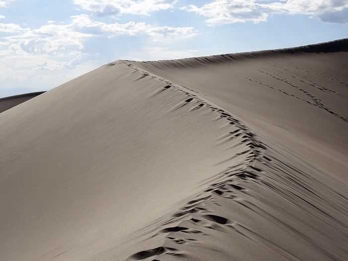 We started at 2,460 meters at the parking lot, and now we’re at 2,627!! We climbed 167 meters with insane gusts of wind. Oh well, even if the summit doesn’t seem far, we take one last look around to soak in the moment and head back down.
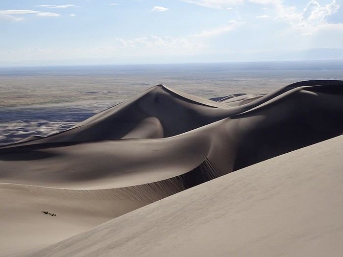 We pass hikers (not many, to be honest) sweating and panting like we just were, and we admire the sandboarders. For us, even though the descent was a walk in the park, we’re happy to get back to the car. The round trip took us 2.5 hours.
Back at the lodge, I wait for the sunset from the terrace.
We pass hikers (not many, to be honest) sweating and panting like we just were, and we admire the sandboarders. For us, even though the descent was a walk in the park, we’re happy to get back to the car. The round trip took us 2.5 hours.
Back at the lodge, I wait for the sunset from the terrace.
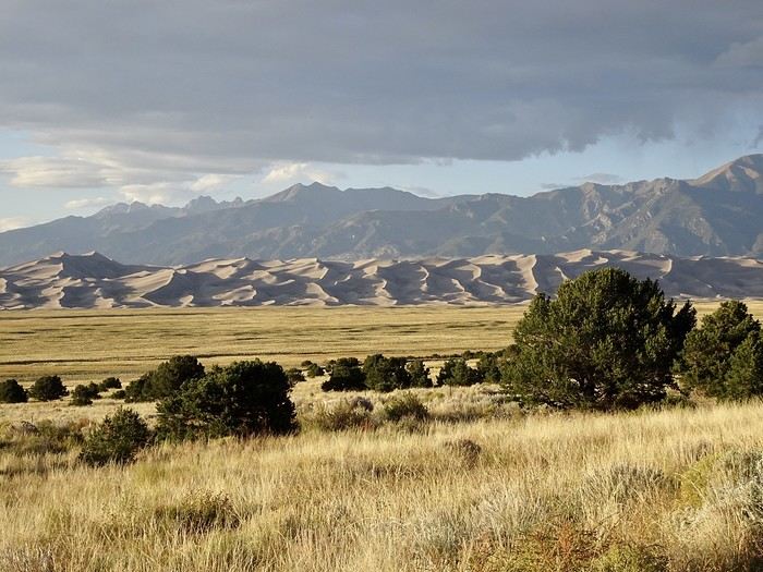

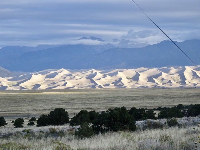 A hearty breakfast on the lodge’s terrace, facing the dunes.
A short 4 km hike was planned before leaving the park. At 9 AM, we tackled the Montville Nature Trail, followed by the Wellington Trail under heavy gray clouds. While the first part through the woods and tall grass was easy and pleasant, the walk back to the car along the road was less enjoyable, especially since the rain decided to crash the party. We made it to the car just in time before a good downpour. At 10:25 AM, we left the park!!! We arrived under gray skies and left in the rain. We were lucky to get a few hours of sunshine yesterday—it let us enjoy climbing High Dune without getting too hot thanks to the wind. The rain slows but doesn’t stop.
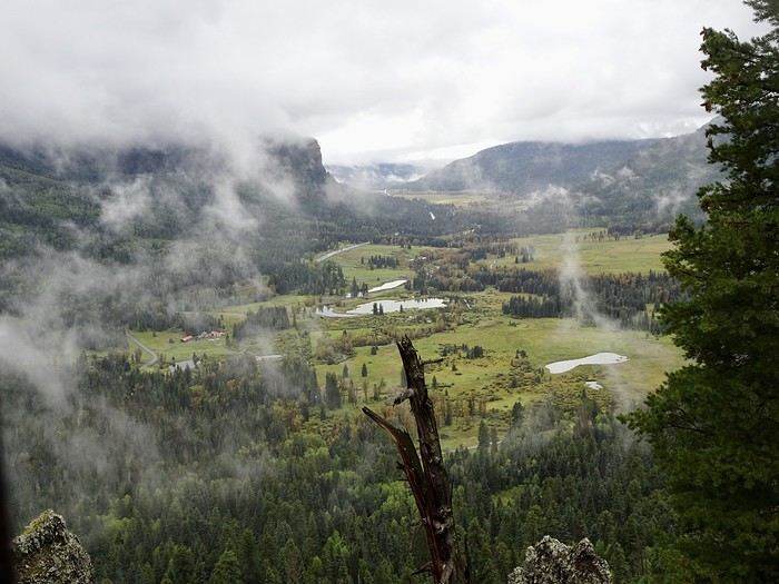
We took the Lanes again, which crisscross the plain of this part of Colorado in a geometric pattern. Starting from South Fork, the mountain vegetation returns. We began the climb toward Wolf Creek Pass through pines and aspens, following the river, but the rain picked up, and the fog was so thick I missed the viewpoints. It finally cleared at the bottom of the pass, revealing a landscape of pretty meadows, groves, and multiple bodies of water.
A hearty breakfast on the lodge’s terrace, facing the dunes.
A short 4 km hike was planned before leaving the park. At 9 AM, we tackled the Montville Nature Trail, followed by the Wellington Trail under heavy gray clouds. While the first part through the woods and tall grass was easy and pleasant, the walk back to the car along the road was less enjoyable, especially since the rain decided to crash the party. We made it to the car just in time before a good downpour. At 10:25 AM, we left the park!!! We arrived under gray skies and left in the rain. We were lucky to get a few hours of sunshine yesterday—it let us enjoy climbing High Dune without getting too hot thanks to the wind. The rain slows but doesn’t stop.
We took the Lanes again, which crisscross the plain of this part of Colorado in a geometric pattern. Starting from South Fork, the mountain vegetation returns. We began the climb toward Wolf Creek Pass through pines and aspens, following the river, but the rain picked up, and the fog was so thick I missed the viewpoints. It finally cleared at the bottom of the pass, revealing a landscape of pretty meadows, groves, and multiple bodies of water.
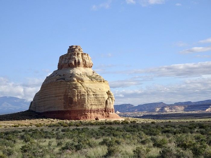
 No more fog, even if the sky stayed overcast. We didn’t go all the way to Chimney Rock National Monument, but on Nadia’s advice, we stopped just off the road at the "Tavern" restaurant and RV park to photograph it from the parking lot.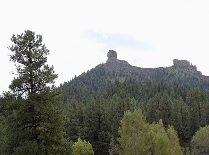
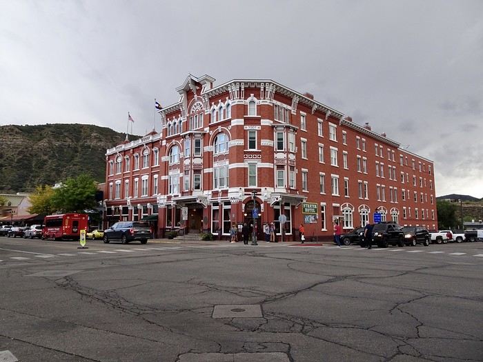
 Right next door is the Diamond Bell Saloon, preserved just as it was,
 in its Wild West decor with fishnet-clad waitresses, a piano bar, and stunning decor.
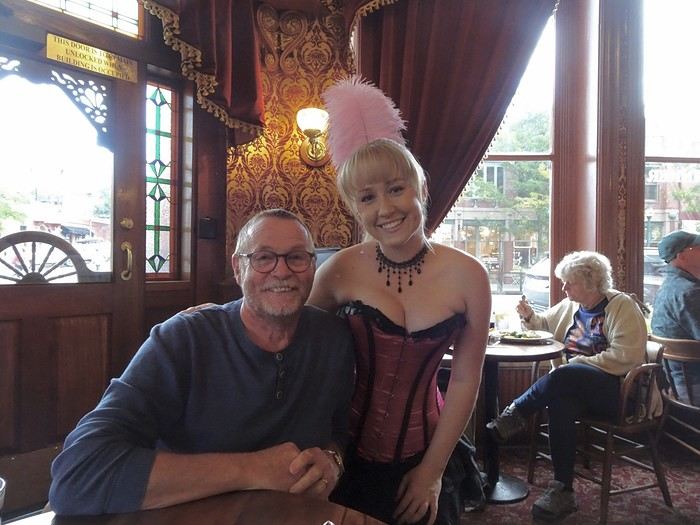
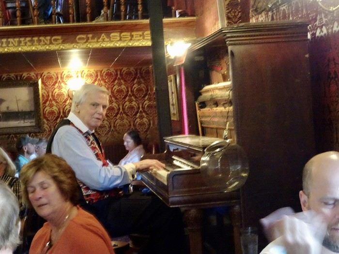 Another little moment out of time—a quick but delicious meal at a reasonable price.
We left the saloon when I heard someone call, "Ms. NEU." It was Michèle, with whom I’d exchanged a few posts during trip planning, who was also at the Diamond Bell with her daughter—she’d recognized me! While chatting, we realized we’d see each other again tomorrow thanks to the train excursion to Silverton. What were the odds of being in the same place at the same time—and even more, of being recognized?!
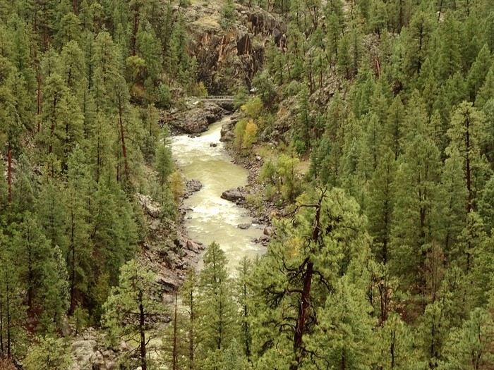
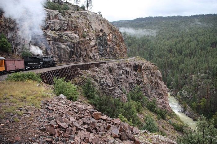
See you tomorrow for one of the highlights of our road trip—riding the steam train to Silverton, hugging canyons, torrents, cliffs, and forests!!!
Another little moment out of time—a quick but delicious meal at a reasonable price.
We left the saloon when I heard someone call, "Ms. NEU." It was Michèle, with whom I’d exchanged a few posts during trip planning, who was also at the Diamond Bell with her daughter—she’d recognized me! While chatting, we realized we’d see each other again tomorrow thanks to the train excursion to Silverton. What were the odds of being in the same place at the same time—and even more, of being recognized?!
See you tomorrow for one of the highlights of our road trip—riding the steam train to Silverton, hugging canyons, torrents, cliffs, and forests!!! 
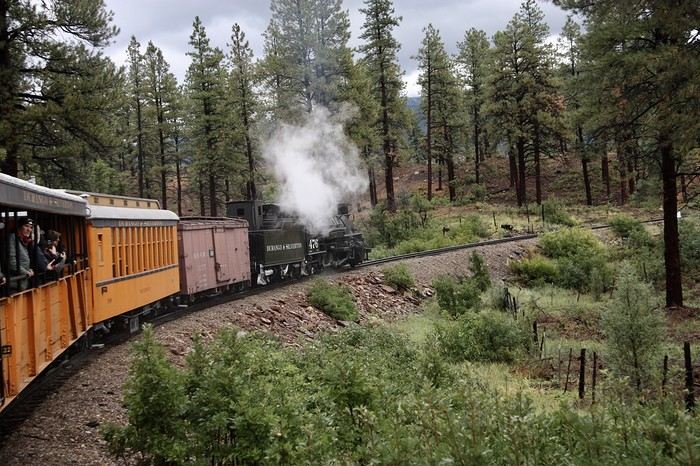
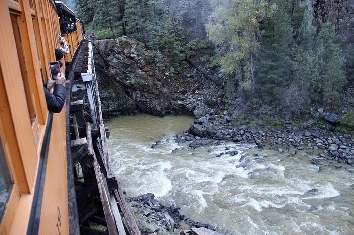
 Excess steam is released through the blowdown valves.

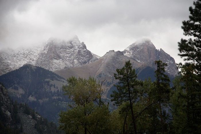
 The surrounding mountains are shrouded in clouds, and snow even covers some of the peaks in places.
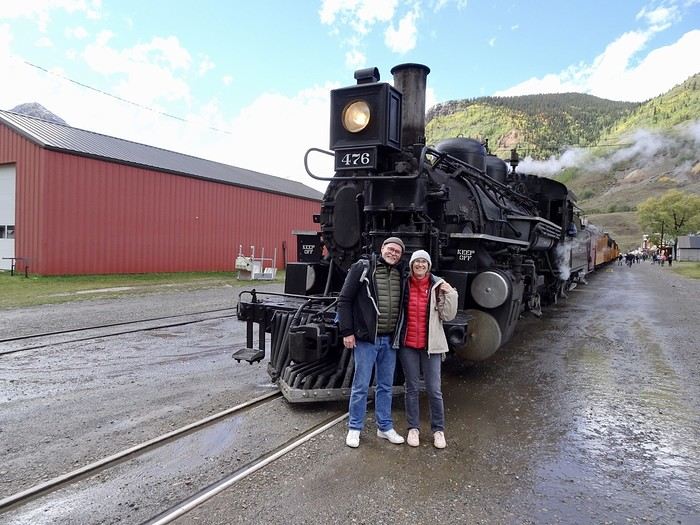 It won’t leave us for the rest of the day. We have half an hour to explore the town. We meet up with Michèle and her daughter, who are already settled since their train leaves half an hour before ours. A quick hello, three souvenir photos, and their train departs. We don’t linger—we head back to our seats. Tomorrow, we’re sleeping in Ouray, and Silverton is on our way. We’ll stop there before the crowds arrive.
 Old-fashioned water refill.
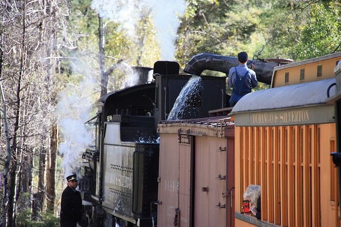 Haha!!! DD’s face in the foreground! Isn’t life great? Just watch out for the cinders.
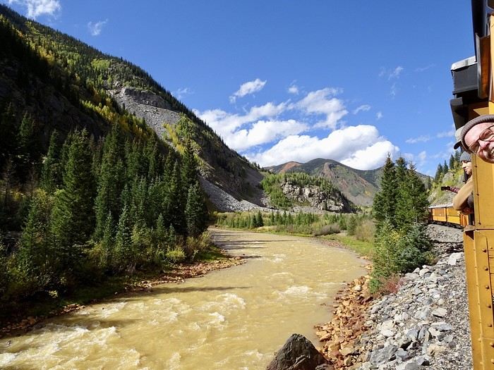
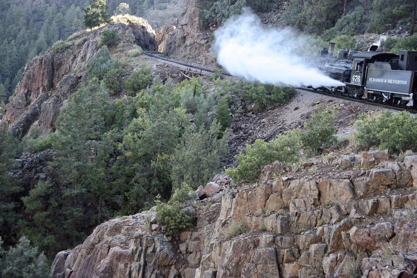
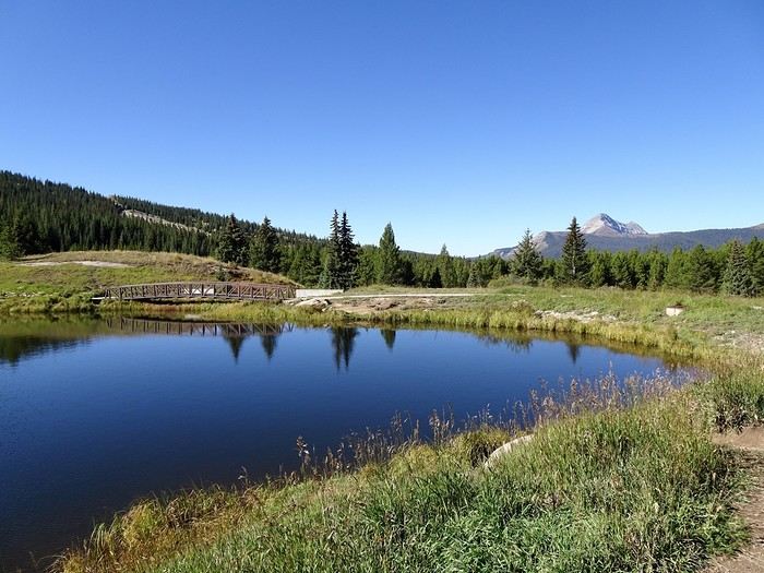 Molas Pass,
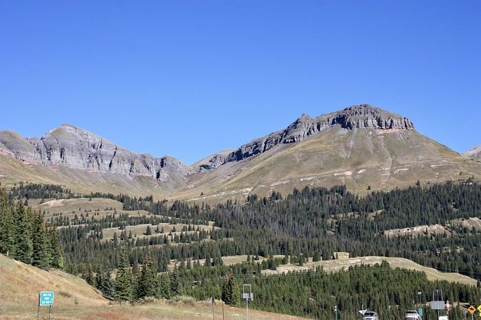 Molas Overlook, Molas Lake...
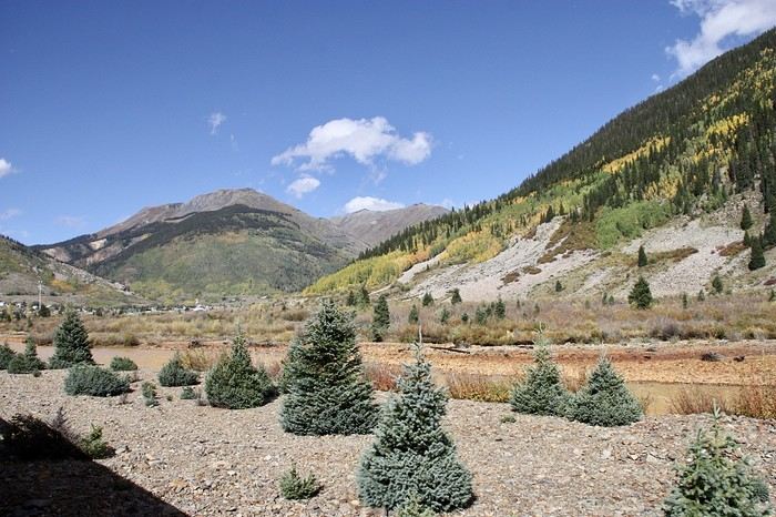
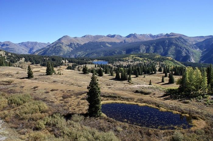 ...the surrounding mountains, the towering peaks, the lakes, the greenery!! And the aspens turning more and more golden!! It’s absolutely stunning!!!
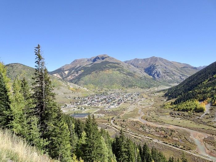
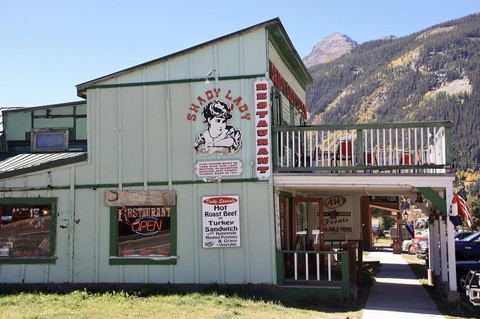
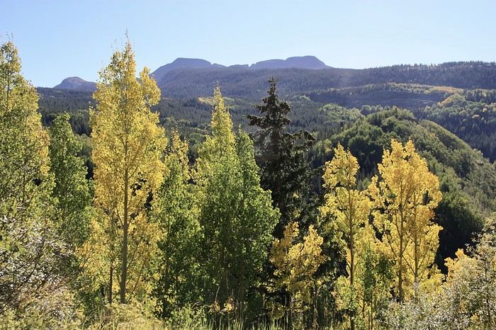 We crossed several passes, some over 3,000 meters high, before reaching the viewpoint overlooking Silverton, which gave us a panoramic view of this little village.
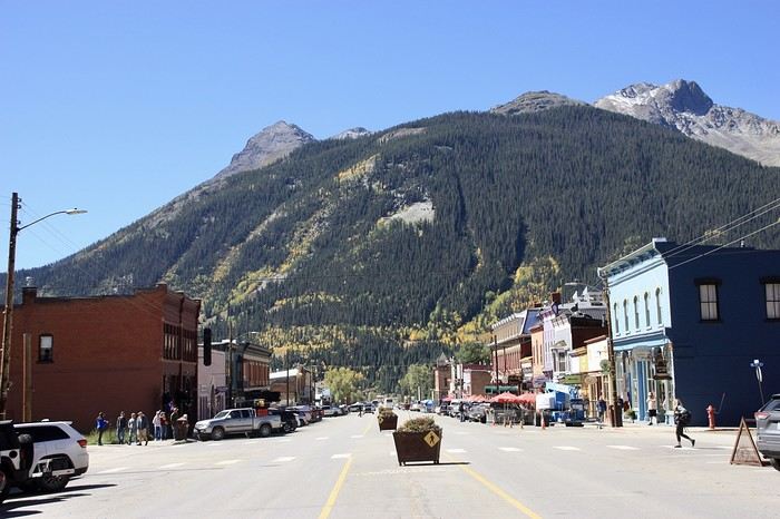
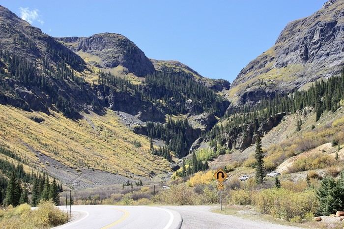
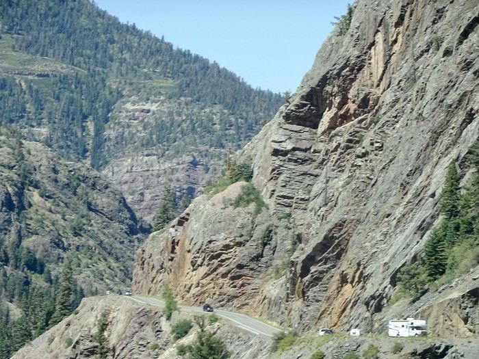
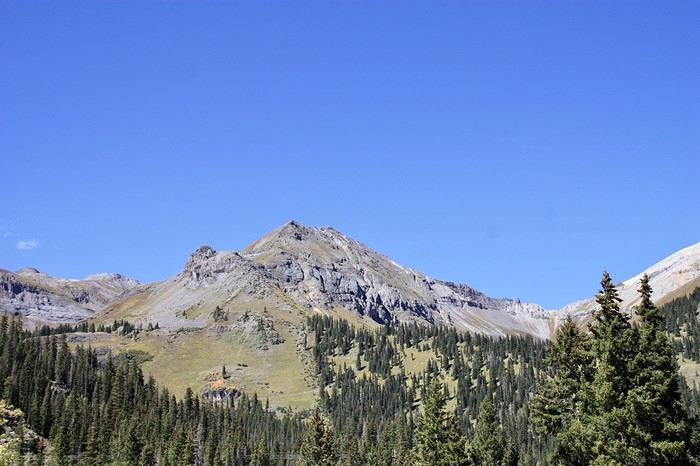 The Red Mountain Pass and especially the Red Mountain OVL with its three red peaks tinted by iron ore!!
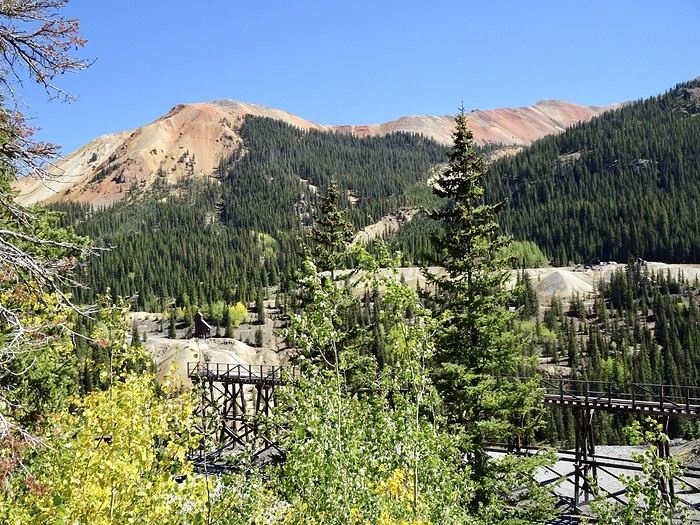
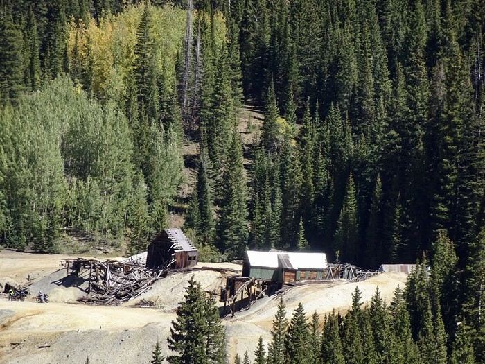
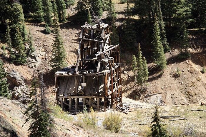 It’s breathtaking!! From up high, we admire the remnants of the mining operations that produced lead, zinc, and silver, with the last mine closing in the 1970s (Idarado Mine and Yankee Mine).
We continue, missing Crystal Lake. As for Bear Creek Falls, there’s no way to stop there.
We arrive in Ouray at 2:15 PM. I’m a little disappointed. DD is less so—unlike me, he doesn’t know what he missed, but hey, you’ve got to keep things in perspective. We’ve still seen amazing places; I have no right to complain!!!
While waiting, a quick and very pleasant dip in the hotel’s hot springs and their pools at different temperatures before checking out some historic buildings (Wright’s Opera House, Beaumont Hotel...)
It’s breathtaking!! From up high, we admire the remnants of the mining operations that produced lead, zinc, and silver, with the last mine closing in the 1970s (Idarado Mine and Yankee Mine).
We continue, missing Crystal Lake. As for Bear Creek Falls, there’s no way to stop there.
We arrive in Ouray at 2:15 PM. I’m a little disappointed. DD is less so—unlike me, he doesn’t know what he missed, but hey, you’ve got to keep things in perspective. We’ve still seen amazing places; I have no right to complain!!!
While waiting, a quick and very pleasant dip in the hotel’s hot springs and their pools at different temperatures before checking out some historic buildings (Wright’s Opera House, Beaumont Hotel...)
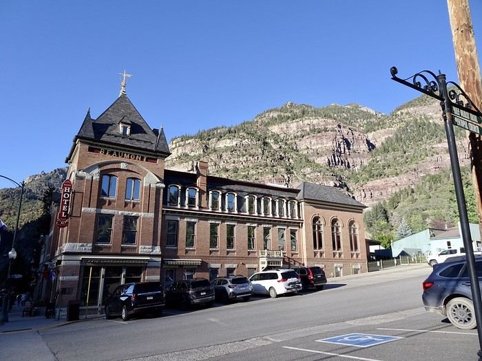 of this cute little town surrounded by towering mountains, before heading back to our room to snack on leftovers from the night before.
Tomorrow, we plan to walk the Perimeter Trail, a hiking path that loops around Ouray. Well, we’ll go as far as we can—no big deal if we don’t do the whole thing!!!
of this cute little town surrounded by towering mountains, before heading back to our room to snack on leftovers from the night before.
Tomorrow, we plan to walk the Perimeter Trail, a hiking path that loops around Ouray. Well, we’ll go as far as we can—no big deal if we don’t do the whole thing!!! 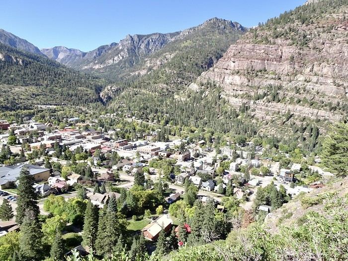 - The trail starts near the Visitor Center, where we had no trouble finding parking. It’s much easier to hike clockwise because after a steep initial climb, you get a mix of ascents and descents that help you recover. The trail is well-marked, and you quickly enjoy breathtaking views of Main Street and the surrounding mountains.
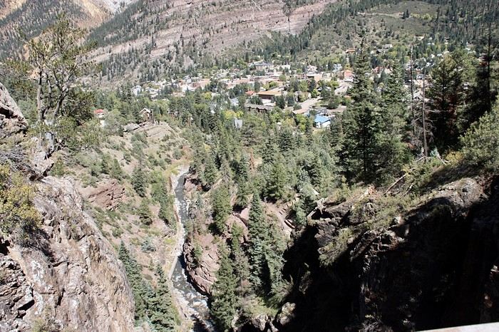
We walked on varied terrain: steps, railroad crossings, cliffside paths, and stairs.
- The trail starts near the Visitor Center, where we had no trouble finding parking. It’s much easier to hike clockwise because after a steep initial climb, you get a mix of ascents and descents that help you recover. The trail is well-marked, and you quickly enjoy breathtaking views of Main Street and the surrounding mountains.
We walked on varied terrain: steps, railroad crossings, cliffside paths, and stairs.
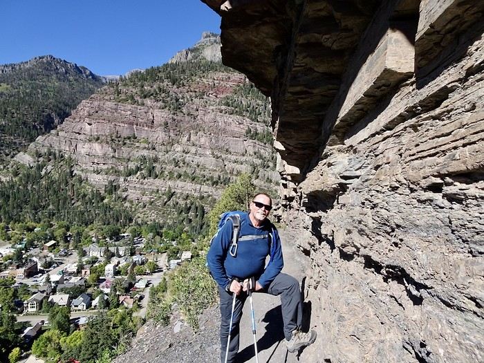 Some small potholes ("giant's kettles")
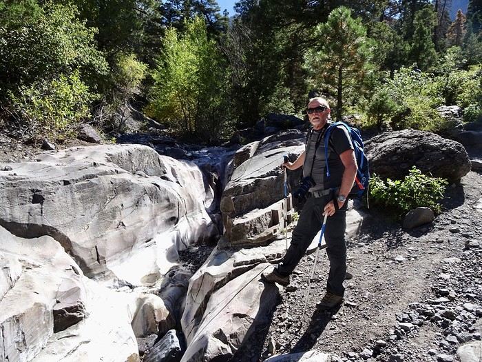
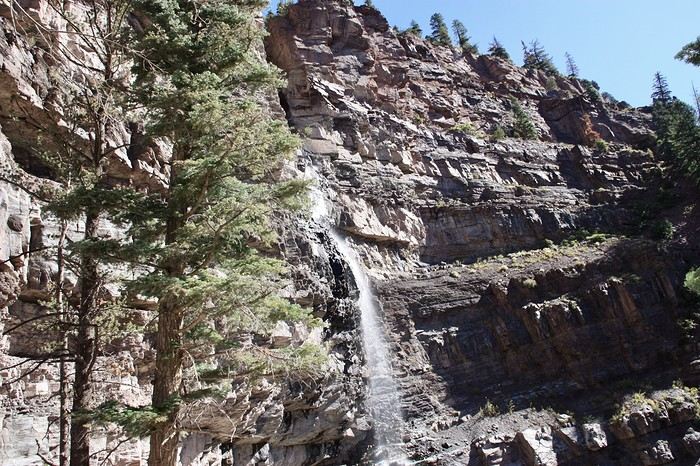
 waterfalls,
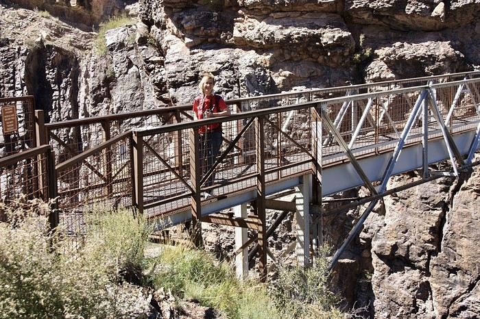
 bridges (seven of them),
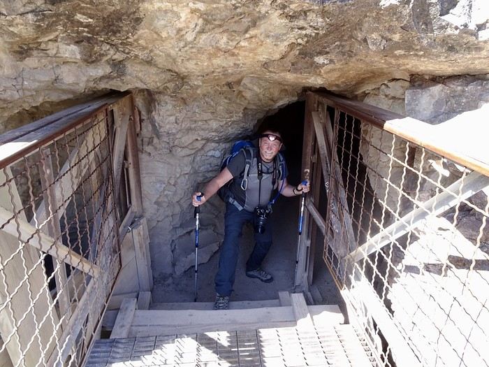
 a tunnel you cross with a flashlight,
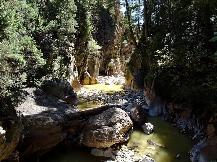
 rivers, including one with golden water,
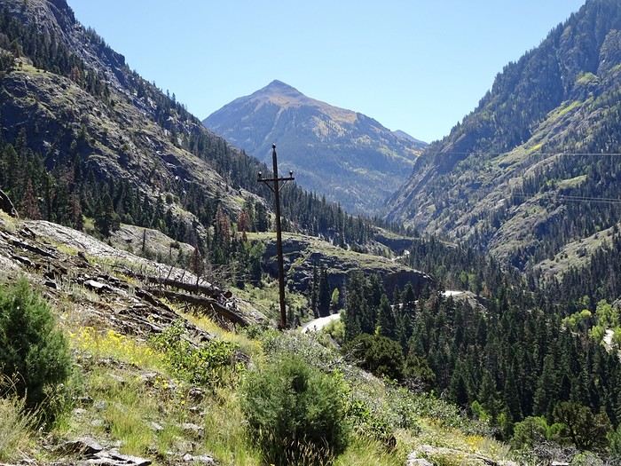
 with these mountains as a backdrop (here we cross the Million Dollar Highway to reach the other side of the loop).
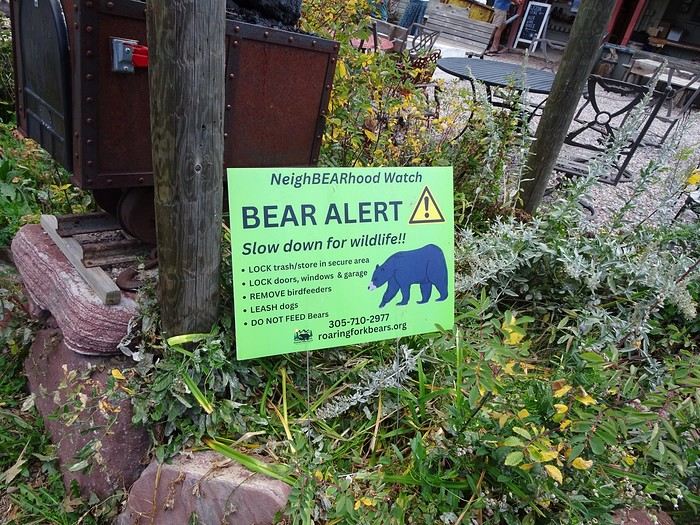
 All this in bear country.
The terrain is varied—often rocky and sometimes rugged—with narrow trails and drop-offs never far away (guaranteed thrills), but what a joy to scramble through such landscapes while breathing in the mountain air. Another perk of the trail is that there are several side paths you can take to head back into town and shorten the loop.
All this in bear country.
The terrain is varied—often rocky and sometimes rugged—with narrow trails and drop-offs never far away (guaranteed thrills), but what a joy to scramble through such landscapes while breathing in the mountain air. Another perk of the trail is that there are several side paths you can take to head back into town and shorten the loop.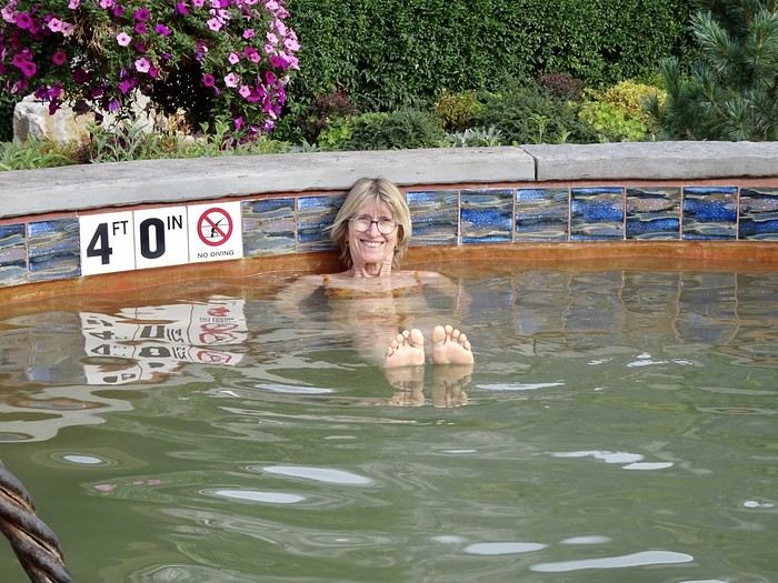 Dinner at Ouray Brewery.
Tomorrow, we’re off to Cortez.
Dinner at Ouray Brewery.
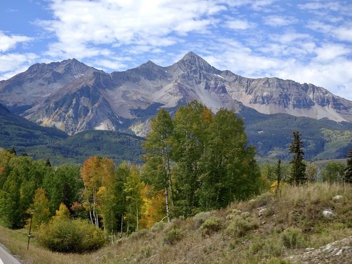
Tomorrow, we’re off to Cortez.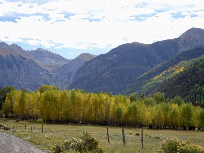 the resemblance ends there. Too fancy, too crowded, too many restrictions (parking banned everywhere), and too expensive (over $4.50 per gallon of gas—they’re crazy!). That’s not our thing!!! We wanted to take the gondola to get closer to the mountains, but we couldn’t find a single parking spot!!! We drove around a bit, took photos of a few buildings, and were glad to get back on the San Juan Scenic Byway. As we gain altitude, firs replace the aspens.
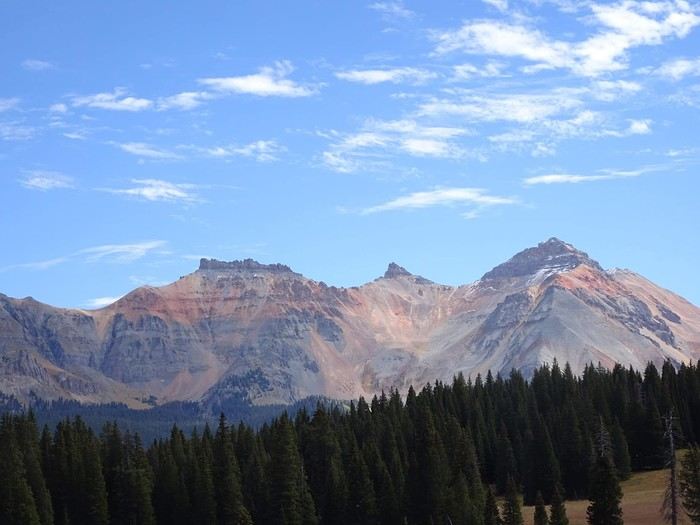 We pass Trout Lake and stop at Lizard Head Peak OVL at 4,000 meters.
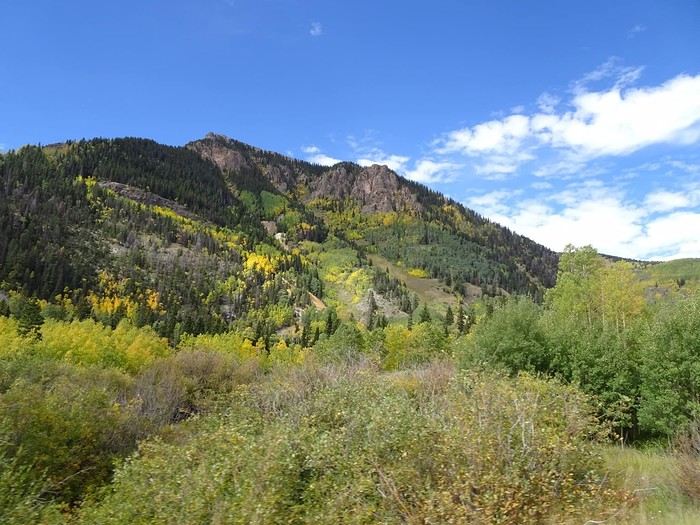
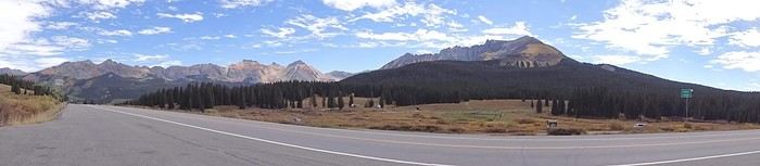 It’s freezing, but the view is worth it. Back on the road. Since we left, we’ve seen jagged peaks, colorful high mountains, lakes, aspen and conifer forests, golden expanses (even the bushes are golden), entire hillsides with different shades of green and yellow, and the occasional red rock.
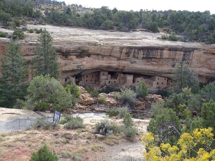 We’ll come back this evening.
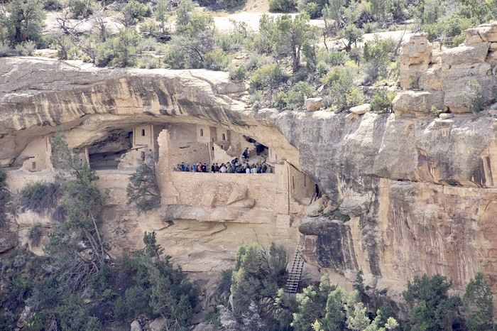
Our time slot for visiting Balcony House is 11 AM. We’re supposed to be there 15 minutes early, but we decide not to tackle the Mesa Top Loop right next to it. We’ll do it calmly this afternoon. Balcony House, which we chose just like Cliff Palace, must be visited with a guide. It’s more fun with its ladders (one 10-meter and two 5-meter ones),
We’ll come back this evening.
Our time slot for visiting Balcony House is 11 AM. We’re supposed to be there 15 minutes early, but we decide not to tackle the Mesa Top Loop right next to it. We’ll do it calmly this afternoon. Balcony House, which we chose just like Cliff Palace, must be visited with a guide. It’s more fun with its ladders (one 10-meter and two 5-meter ones),
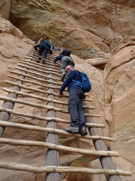
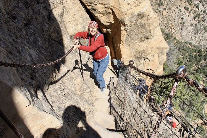
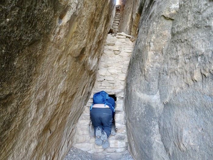
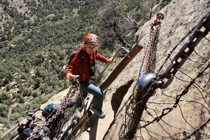 The guide was very friendly, and we followed along with great pleasure, even if I only understood a few phrases here and there.
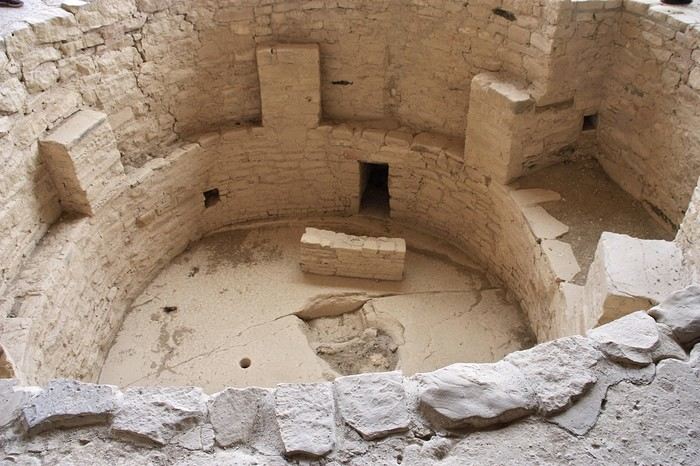
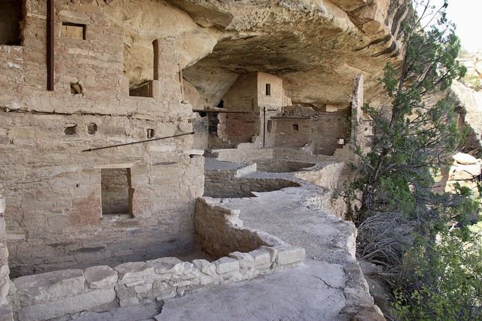
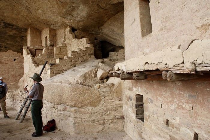 The tour lasted a little over an hour and fifteen minutes.
All the interesting visits are grouped in this small section of the park, and the afternoon was dedicated to different spots:
Soda Canyon Overlook (where you can see the Balcony House cliff), which we walked in about 35 minutes round trip,
The tour lasted a little over an hour and fifteen minutes.
All the interesting visits are grouped in this small section of the park, and the afternoon was dedicated to different spots:
Soda Canyon Overlook (where you can see the Balcony House cliff), which we walked in about 35 minutes round trip,
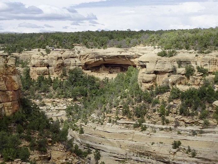
 Mesa Top Loop (where you can stop at various viewpoints and admire the deep canyons or the remains of small dwellings), and
Sun Point View (where you can see Cliff Palace).
Mesa Top Loop (where you can stop at various viewpoints and admire the deep canyons or the remains of small dwellings), and
Sun Point View (where you can see Cliff Palace).

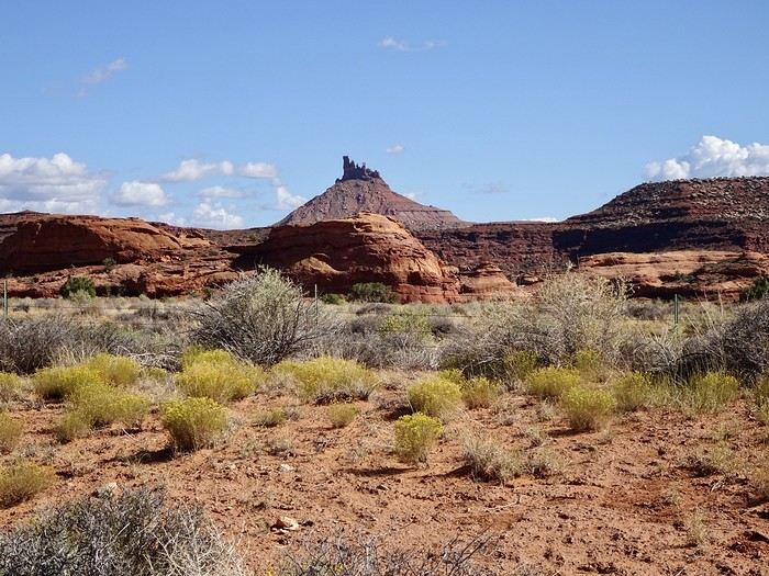 The visitor center confirmed the distance, difficulty, and mileage! The road to the trailhead was smooth and easy. But after our visit to the visitor center, I was less sure about my plan. I suggested we start and go as far as we could, still hoping deep down we’d finish the whole thing. We set off at 10:30—way too late! This kind of hike should start early. It began with a steep climb, then alternated between easier ups and downs for a bit. But we were mostly walking on rock, with some rocky or sandy trail sections, so you had to pay attention. Stairs between boulders, narrow gaps, rocks of every color and shape—we followed the cairns, and I was loving it.
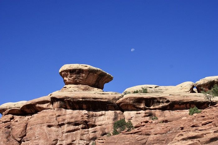
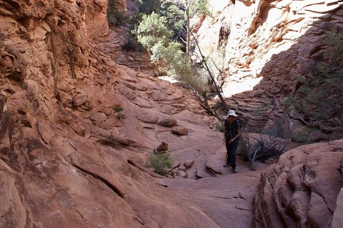
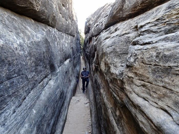
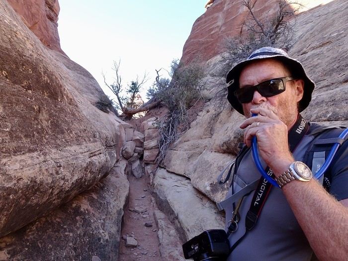 We were making good time. Then things got tougher! It just kept going up and up. I came back down to earth—this was too hard for my old bones. When we reached Chesler Park Viewpoint, where the loop starts, we’d only covered 5 km in two hours. We got pretty close to the needles, which you can see in the distance.
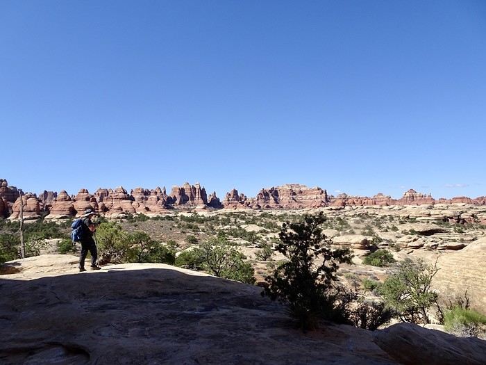 It’s beautiful. We stopped for a snack.
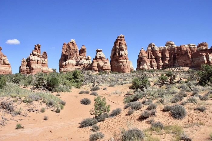 DD suggested we walk a little further. It was 12:30 p.m., and it was really hot. The best part of doing the full loop would’ve been the slot canyon and the cave with the cairns. If we weren’t going to make it there, we might as well turn back—especially since our next stop in Moab wasn’t going to be a walk in the park. Goodbye, Chesler Park! Just a few more photos on the way back.
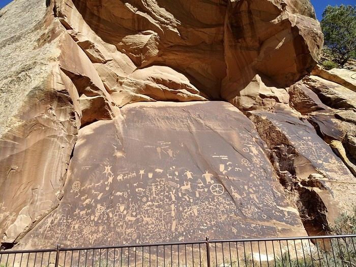
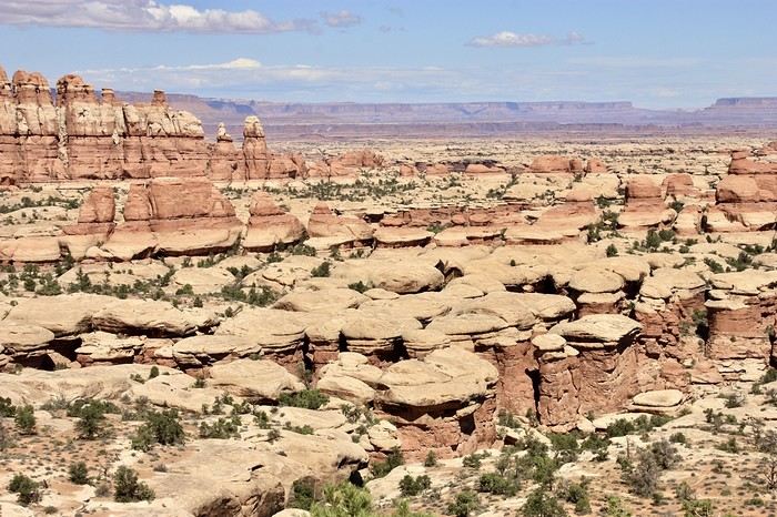 (Ah, those red rocks!) We got back to the car at 3:10 p.m. with the temperature at 26 °C. According to my phone, we’d walked 14 km with all the back-and-forth (personally, I think it was less). No regrets about trying—we probably could’ve finished, but at what cost! I was still in awe of the massive red mesas on the way back. We made a quick stop at Newspaper Rock to see its 650 incredible pictographs, drawn by the Ute, Anasazi, and Fremont tribes—some of them 2,000 years old.
 The drive back to Monticello took us along the beautiful, flower-lined Hart Draw Road.
Since we still had leftovers, we ate them quietly in our hotel room.
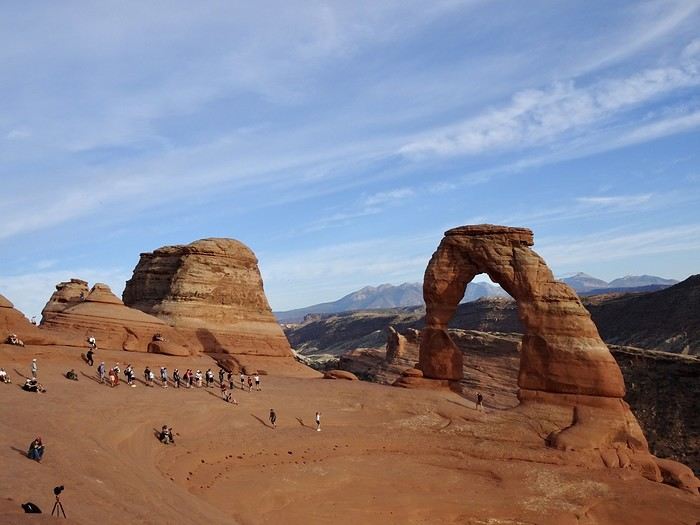
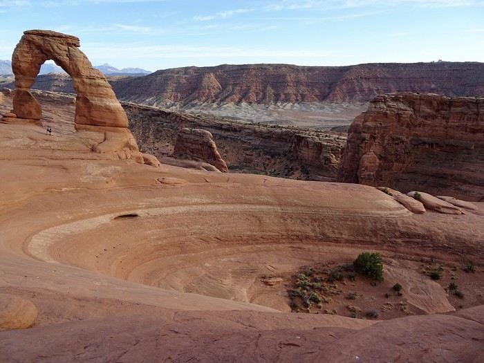
Tomorrow, we’re heading to Arches National Park, specifically Delicate Arch for sunset! I hope the weather’s nice!!!!
The drive back to Monticello took us along the beautiful, flower-lined Hart Draw Road.
Since we still had leftovers, we ate them quietly in our hotel room.
Tomorrow, we’re heading to Arches National Park, specifically Delicate Arch for sunset! I hope the weather’s nice!!!!
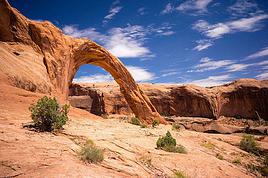
 We skipped Needles Overlook on the way—the viewpoint is supposedly amazing but too far off the road. We made a quick photo stop at Wilson Arch.
This is the third road trip where we’ve passed by Hole n’ the Rock without stopping. Today, we had time. It has nothing to do with the Mormon pioneers’ Hole in the Rock. For 12 years, a dreamer and his wife carved an enormous house (over 450 m² and 14 rooms) into a red rock. After his death in 1957, his wife continued the work and set up a souvenir shop. Both are buried in a small cove in the rock. You can visit a zoo there and take a short outdoor walk to discover all sorts of quirky objects. There are also souvenir shops and pretty flowers. If you’ve got some time to kill (or if you’ve still got a kid’s sense of wonder), the visit isn’t unpleasant.
We skipped Needles Overlook on the way—the viewpoint is supposedly amazing but too far off the road. We made a quick photo stop at Wilson Arch.
This is the third road trip where we’ve passed by Hole n’ the Rock without stopping. Today, we had time. It has nothing to do with the Mormon pioneers’ Hole in the Rock. For 12 years, a dreamer and his wife carved an enormous house (over 450 m² and 14 rooms) into a red rock. After his death in 1957, his wife continued the work and set up a souvenir shop. Both are buried in a small cove in the rock. You can visit a zoo there and take a short outdoor walk to discover all sorts of quirky objects. There are also souvenir shops and pretty flowers. If you’ve got some time to kill (or if you’ve still got a kid’s sense of wonder), the visit isn’t unpleasant.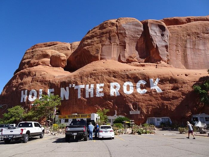
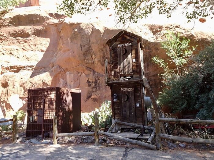
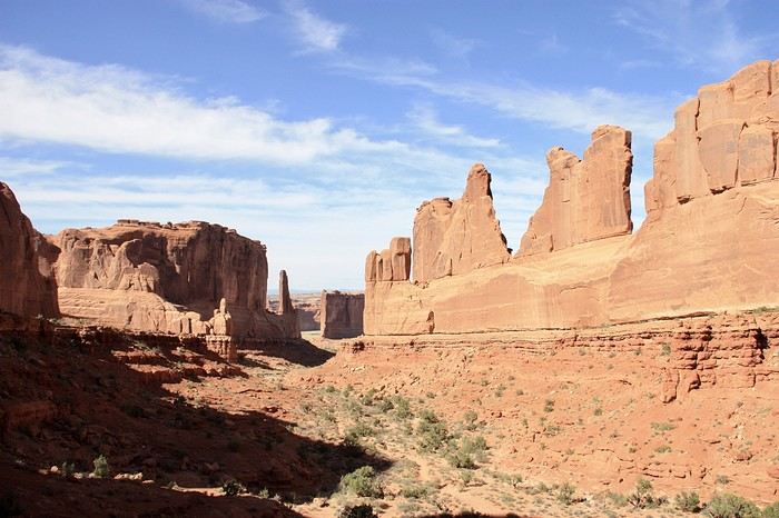
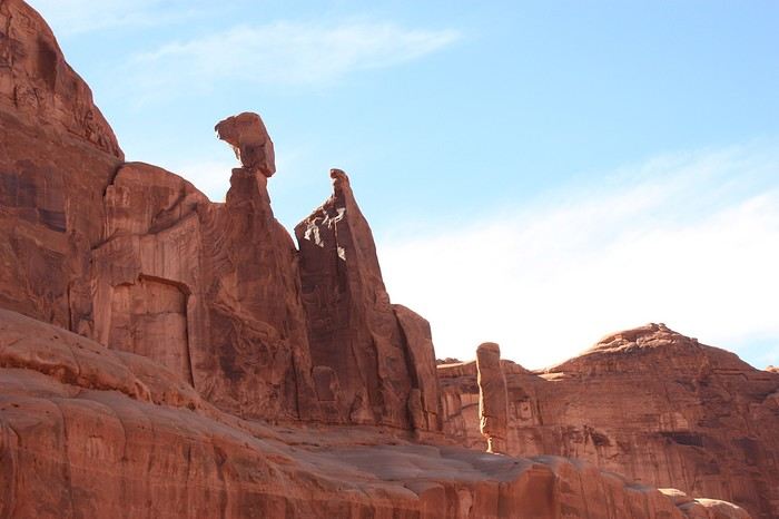
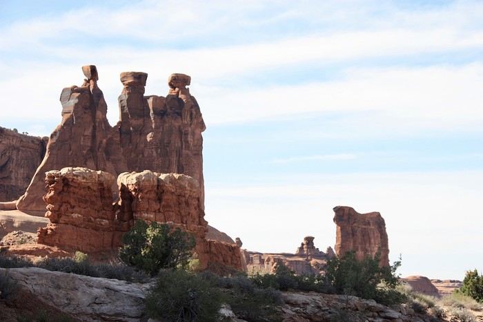
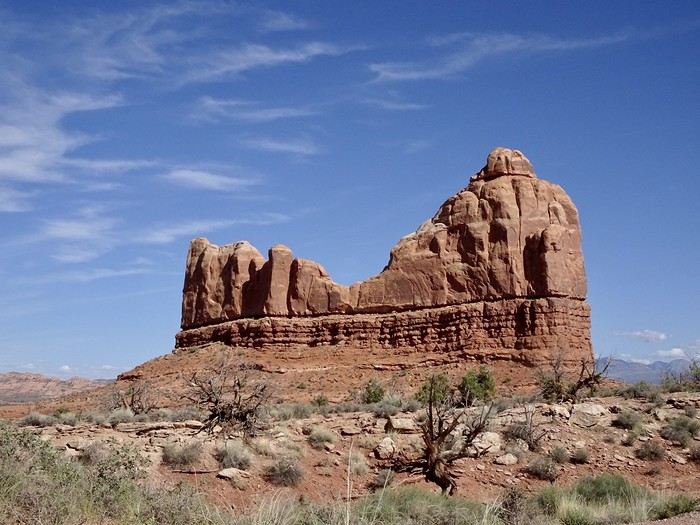
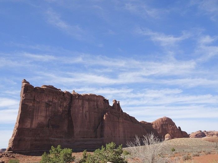
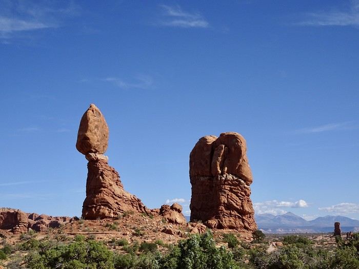
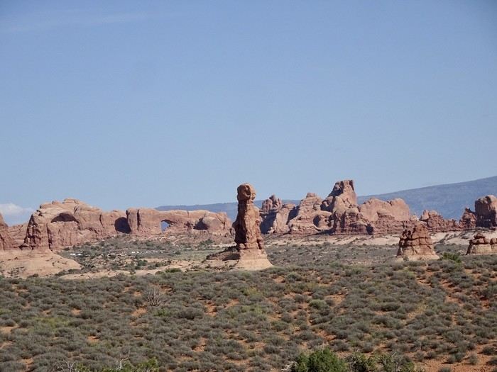
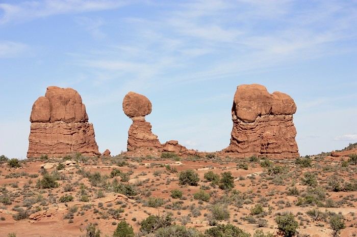
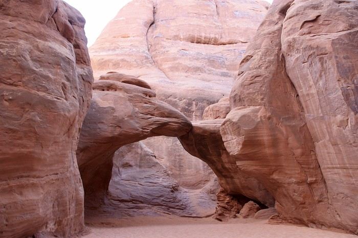
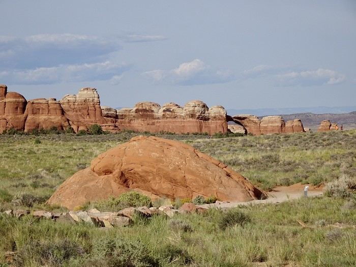
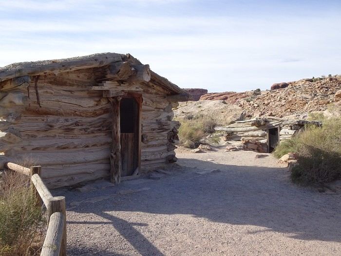
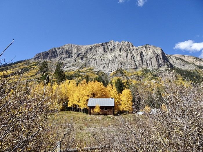
 The cabins of the former Civil War soldier.
 No more climbing—it’s much more relaxed from here on out.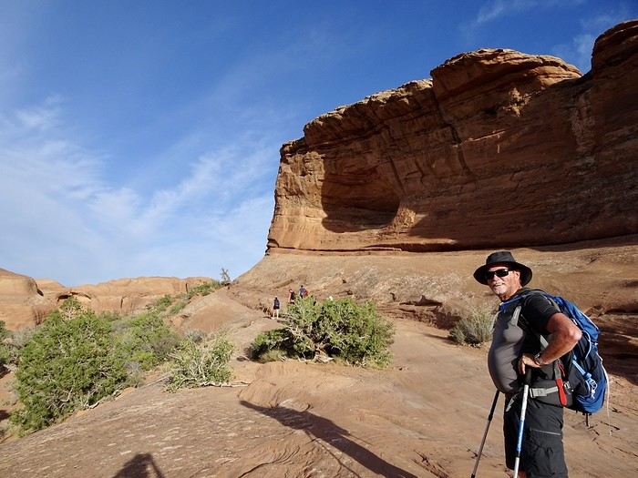
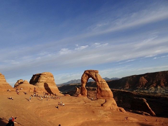
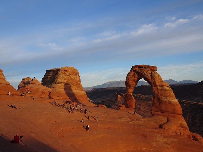
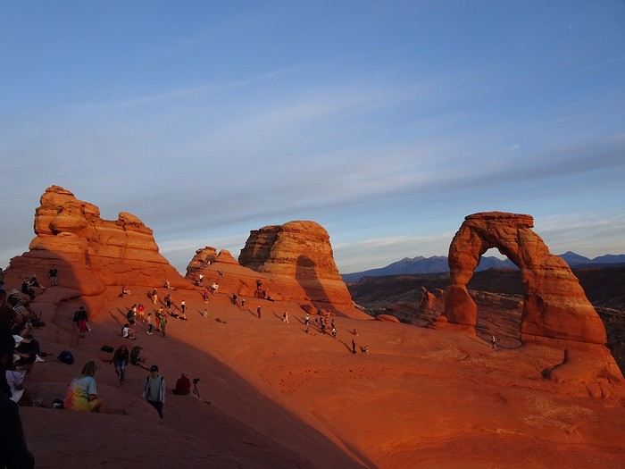
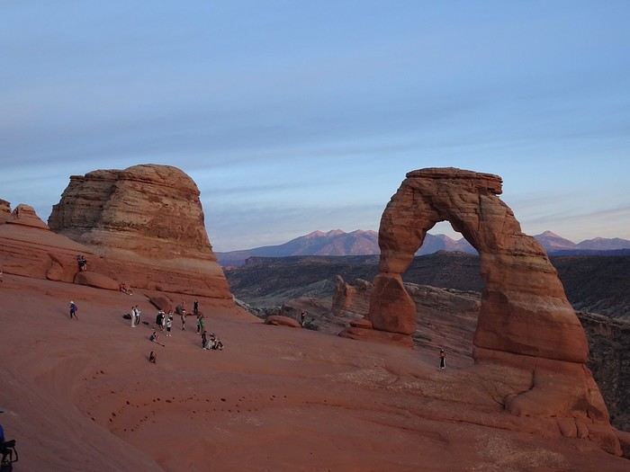
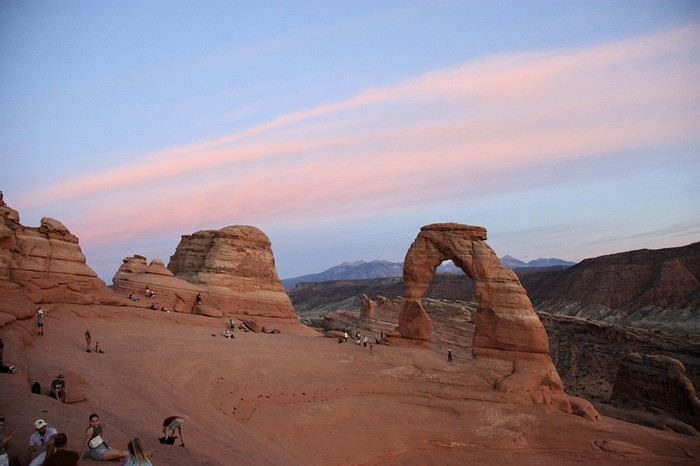
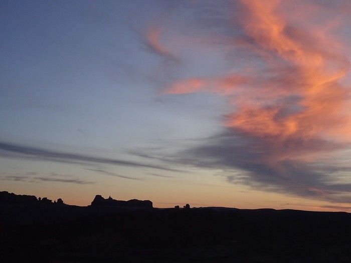
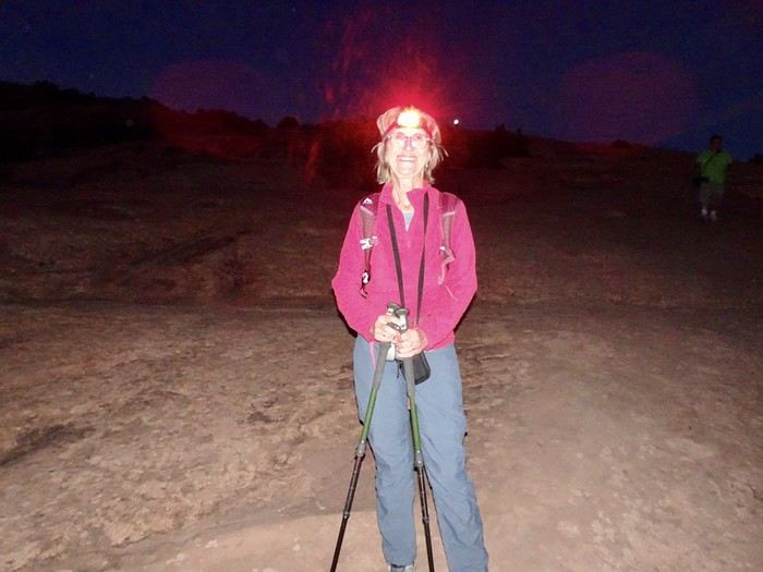 After 45 minutes of a somewhat tricky descent, we make it down in the pitch black. A couple of Americans without lights followed in our footsteps, and we were happy to share our glow with them.
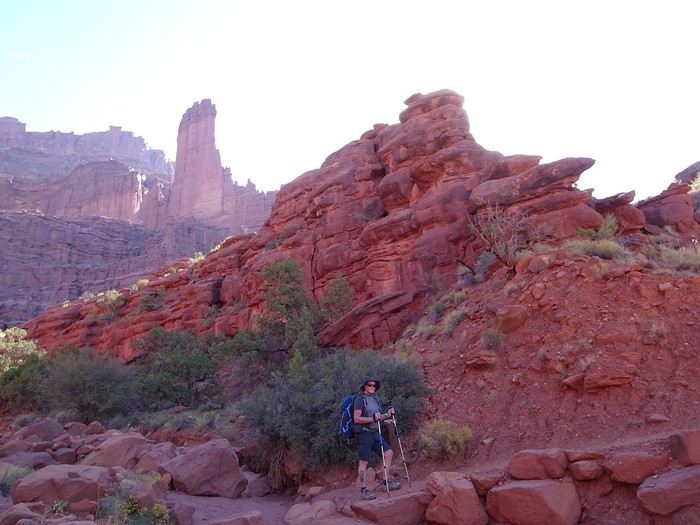
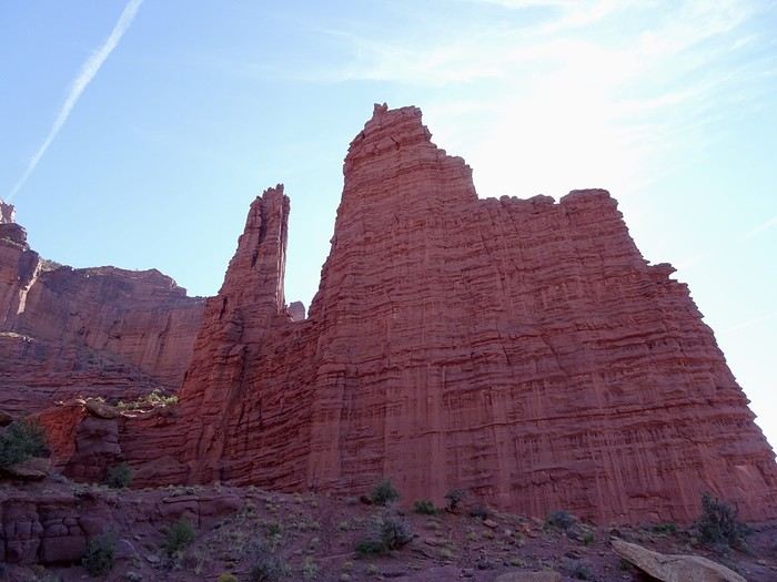
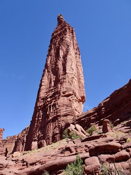
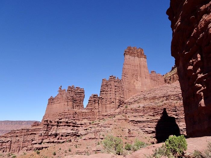
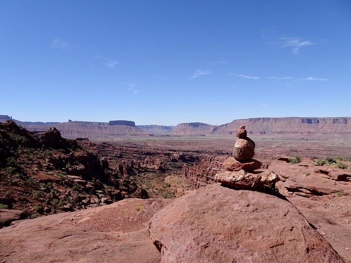 At the top, we found a bit of blooming vegetation.
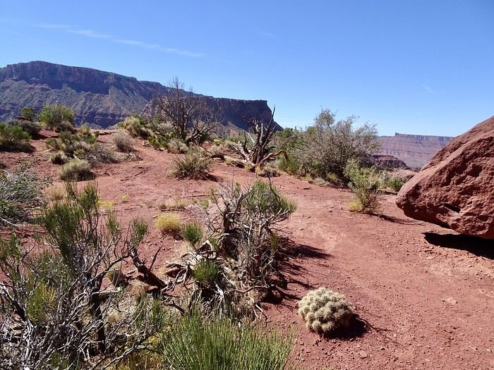
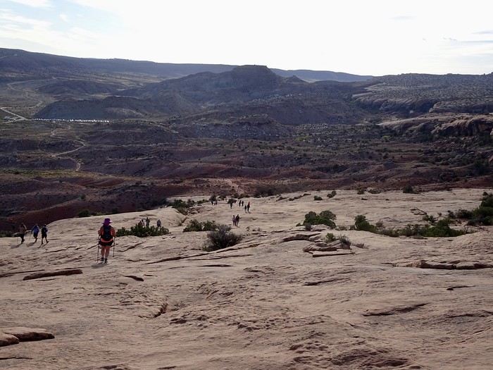
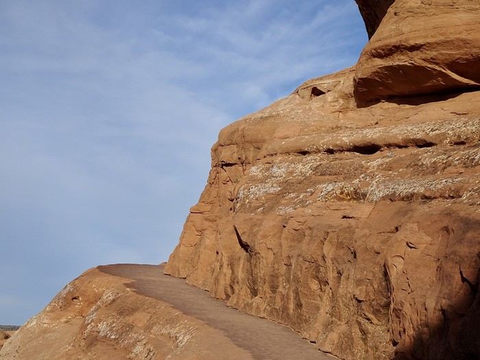
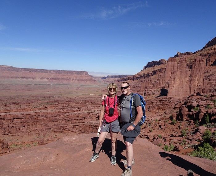
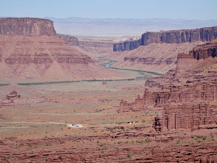
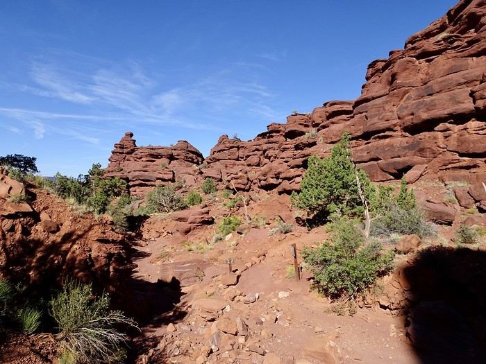
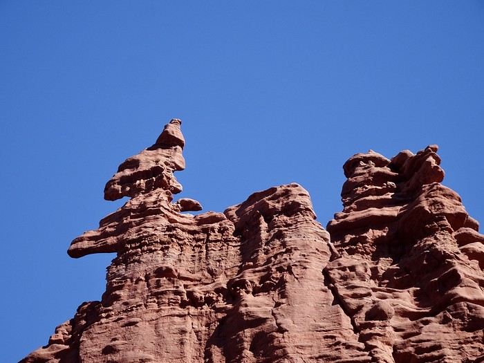 we found this hike pretty tough, even though it’s rated as moderate. There’s only a 200 m elevation gain between the start and the end of the trail, but it’s a series of ups and downs on slickrock, with some dirt or rocky paths, several narrow ledges with dizzying drop-offs,
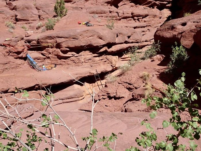
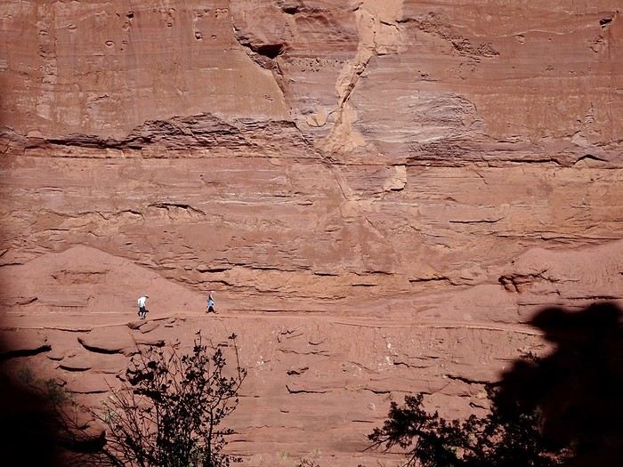 and even a small ladder to climb to reach the next rock, which you’ll have to scramble up to get back on the trail.
 Back the same way
 ,
,
 with just as much delight and 30°C, almost entirely downhill—it was still a bit easier despite the blazing sun and the need to watch your step on the loose rock on the way down.
A quick stop in the warm waters of the Colorado to say: “I dipped my toes in!”
with just as much delight and 30°C, almost entirely downhill—it was still a bit easier despite the blazing sun and the need to watch your step on the loose rock on the way down.
A quick stop in the warm waters of the Colorado to say: “I dipped my toes in!”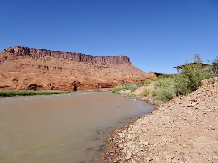
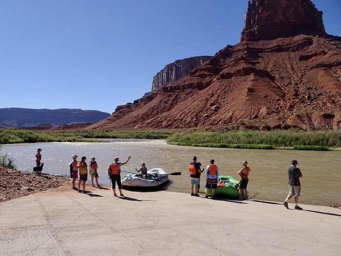
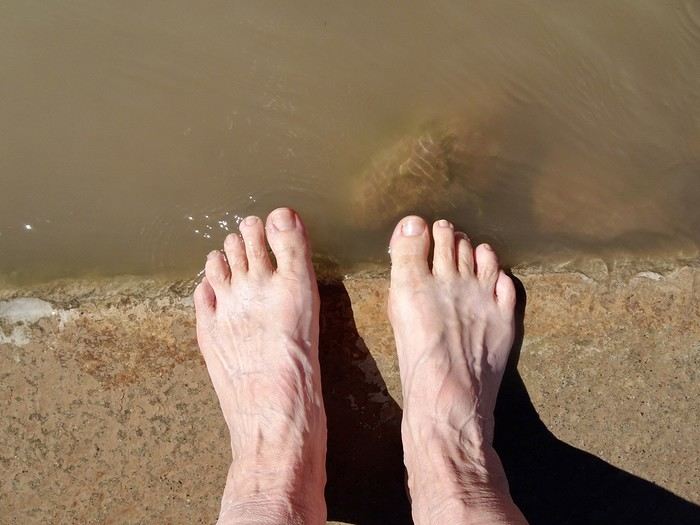 at one of the spots where the rafts put in
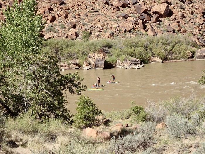
 Some people even paddleboard on the river
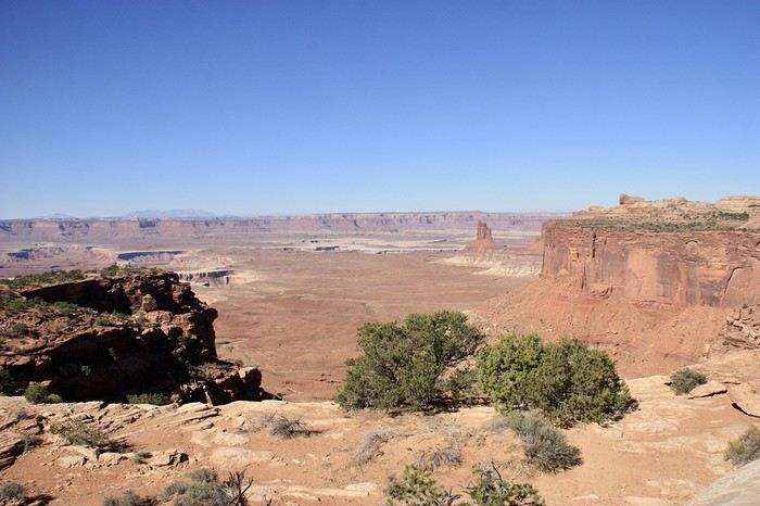
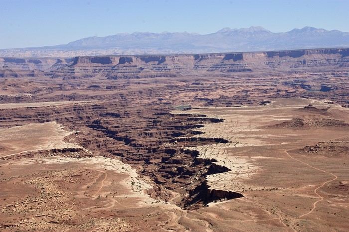
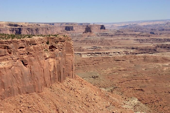 These viewpoints, with such evocative names, offer views as far as the eye can see—mesas, canyons, and buttes eroded by the Green River.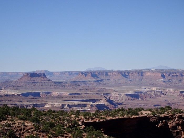
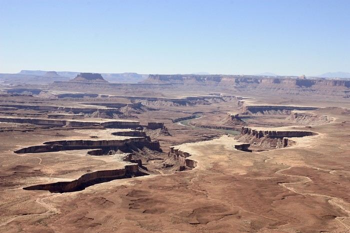
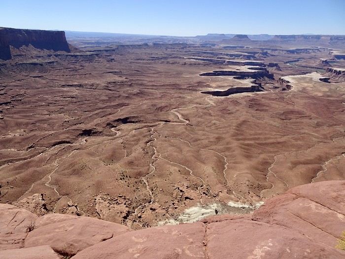 We never get tired of it. We’d planned a short, easy, flat walk to Grand View Overlook, but unfortunately, the road is closed and off-limits to hikers, cars, and bikes due to construction. We continue to White Rim Overlook.
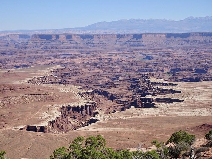 We walk a little on the promontory, take a few photos, and head back to the car. I pull out my road book—ugh, that’s where I’d planned my second short walk! I think it was a subconscious act. If I tell DD we have to go back and hike there, he’ll leave me by the side of the road! Oh well, no walk for me—I won’t even suggest it! It’s been two weeks of him driving alone, plus the more challenging hikes I’ve planned.
We take a few more photos at the spectacular Green River Overlook. Our last stop is Shafer Canyon Overlook to see the brave (or crazy—you decide) 4x4 drivers tackling Shafer (or Potash) Road and its hairpin turns.
We walk a little on the promontory, take a few photos, and head back to the car. I pull out my road book—ugh, that’s where I’d planned my second short walk! I think it was a subconscious act. If I tell DD we have to go back and hike there, he’ll leave me by the side of the road! Oh well, no walk for me—I won’t even suggest it! It’s been two weeks of him driving alone, plus the more challenging hikes I’ve planned.
We take a few more photos at the spectacular Green River Overlook. Our last stop is Shafer Canyon Overlook to see the brave (or crazy—you decide) 4x4 drivers tackling Shafer (or Potash) Road and its hairpin turns.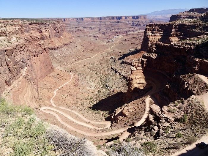 This trail descends 457 meters through a sandstone cliff. Previously used by Native Americans, shepherds, and trucks transporting uranium to Moab, it’s now a 30-kilometer playground for thrill-seeking 4x4 enthusiasts through breathtaking landscapes.
To end the day on a high note, we visit Dead Horse Point. This small park isn’t part of Canyonlands—it’s a state park, and you have to pay $20 to enter. There are hiking trails, but the highlight is the overlook, where you can see the Colorado River winding between pinnacles and buttes 600 meters below.
This trail descends 457 meters through a sandstone cliff. Previously used by Native Americans, shepherds, and trucks transporting uranium to Moab, it’s now a 30-kilometer playground for thrill-seeking 4x4 enthusiasts through breathtaking landscapes.
To end the day on a high note, we visit Dead Horse Point. This small park isn’t part of Canyonlands—it’s a state park, and you have to pay $20 to enter. There are hiking trails, but the highlight is the overlook, where you can see the Colorado River winding between pinnacles and buttes 600 meters below.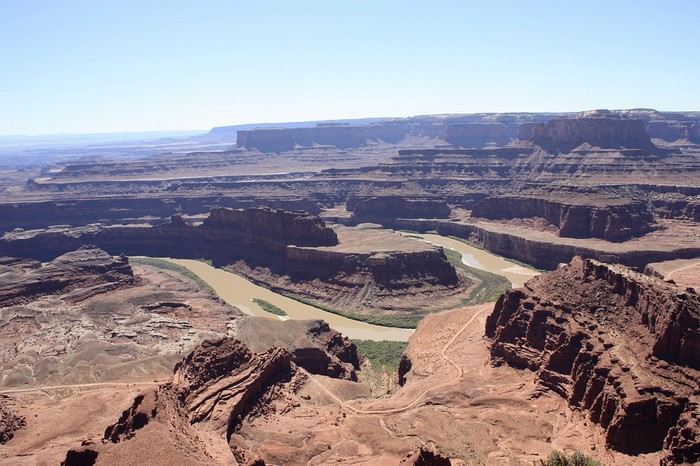
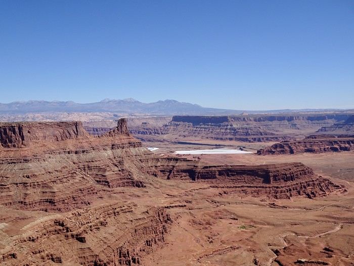 It’s almost 3 PM, and we’ve filled our eyes with beauty. Moab is 47 kilometers away! We’ll even have time to rest a bit before dinner.
We had a great meal at Pasta Jay’s in downtown Moab.
Tomorrow, we leave Utah and its mild temperatures (still 30°C in the late afternoon) for Colorado.
It’s almost 3 PM, and we’ve filled our eyes with beauty. Moab is 47 kilometers away! We’ll even have time to rest a bit before dinner.
We had a great meal at Pasta Jay’s in downtown Moab.
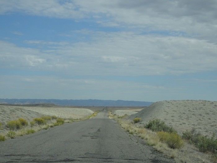
Tomorrow, we leave Utah and its mild temperatures (still 30°C in the late afternoon) for Colorado.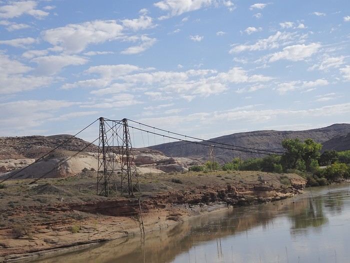 After the bridge, white rocks and prairies return, followed by a dull, pale desert plain with rock formations that look like petrified dunes.
 A few photos of the semi-ghost town of Cisco with its abandoned buildings and old vehicles.
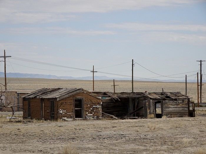
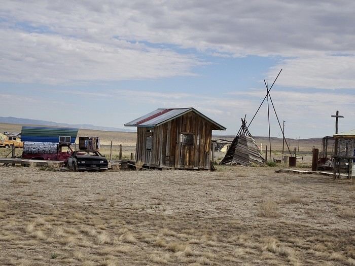
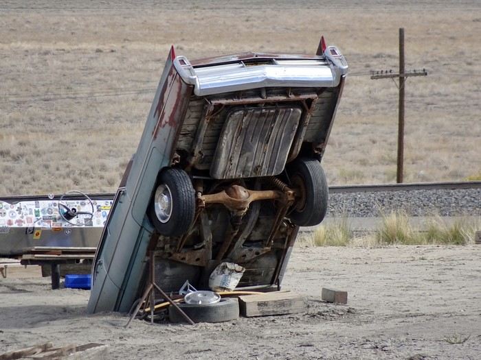 This town, founded in 1880, thrived during the railroad era (it was a water refill station), but the switch from steam to diesel locomotives and the construction of Interstate 70, which bypassed the town, nearly turned it into a ghost town. Large prairie dogs seem to be the only ones left in charge,
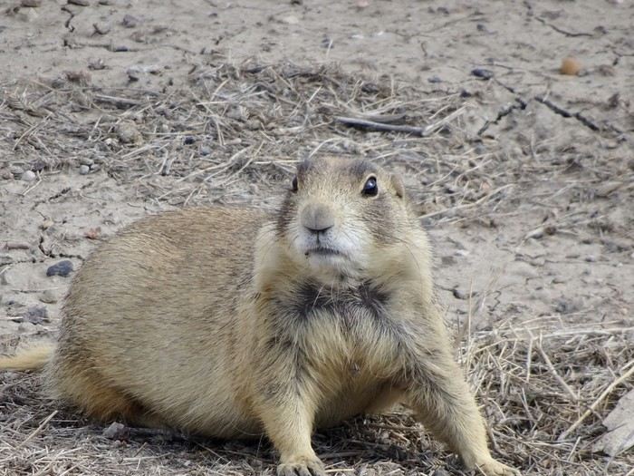 even though there’s still a general store.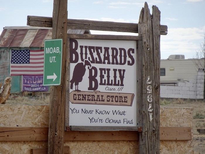
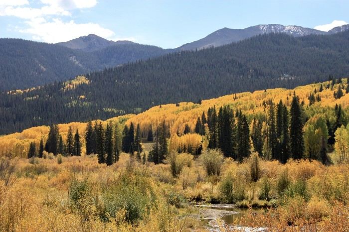
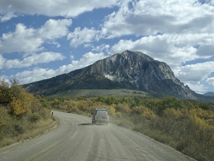 The higher we climbed, the more beautiful it got.
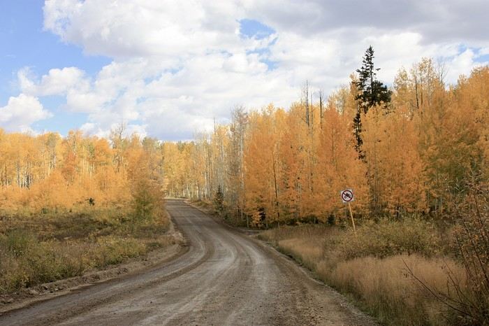 We saw cars stopped along the way and lots of people getting out with cameras or phones to try and capture the best shot. The small aspen leaves were swirling and landing on the ground! Even the ferns were golden.
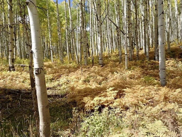
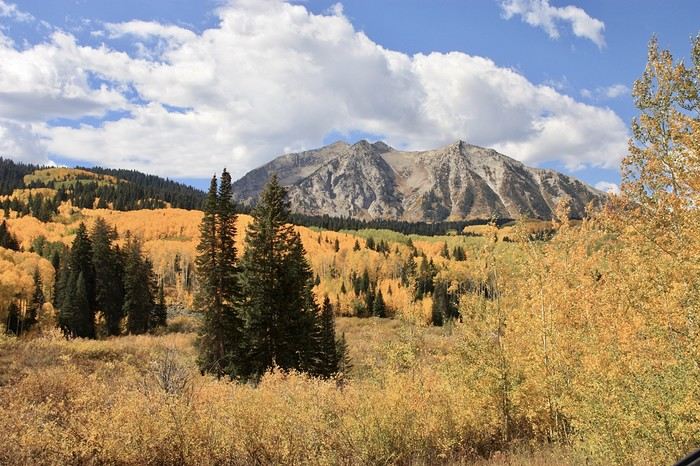
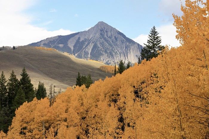
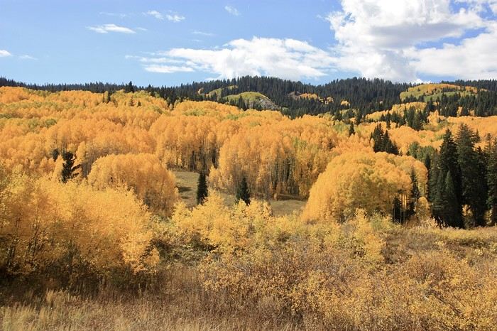 Elsewhere, other colors joined in.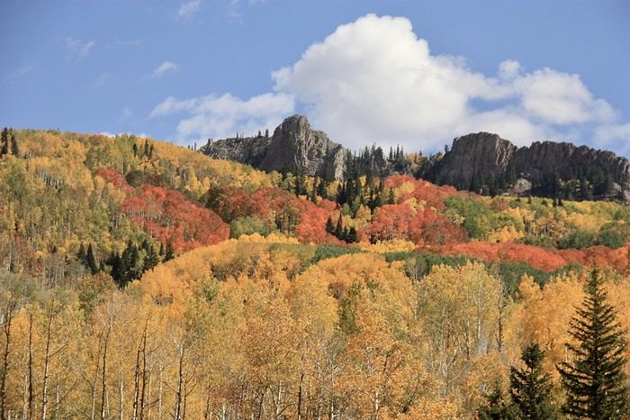
 It was magnificent. The scenery peaked at the pass (3,050 m), then gradually, firs replaced the aspens.
12:20 PM—finally, the road turned back to pavement. We had a little picnic in a town park. Since it was too early to check into the guesthouse, we headed to the visitor center to grab a map for the easy Upper and Lower Loop hike planned for the afternoon.
It was magnificent. The scenery peaked at the pass (3,050 m), then gradually, firs replaced the aspens.
12:20 PM—finally, the road turned back to pavement. We had a little picnic in a town park. Since it was too early to check into the guesthouse, we headed to the visitor center to grab a map for the easy Upper and Lower Loop hike planned for the afternoon.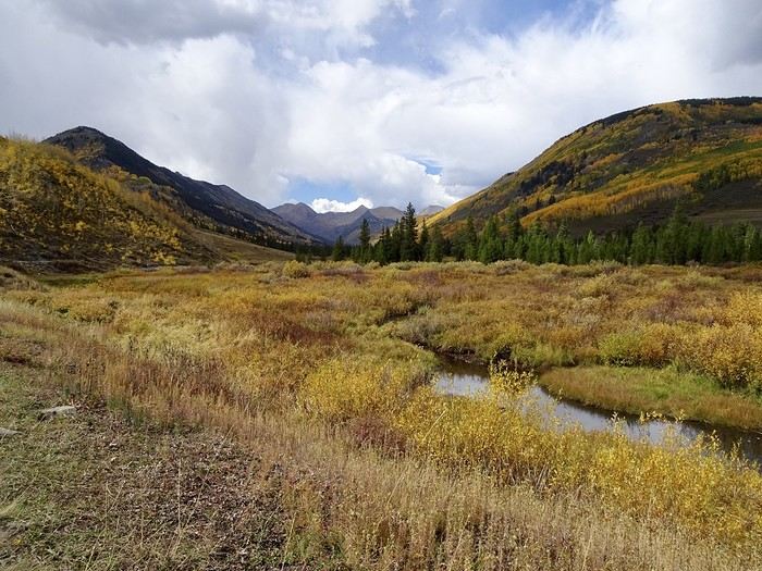 A short walk through the fir trees.
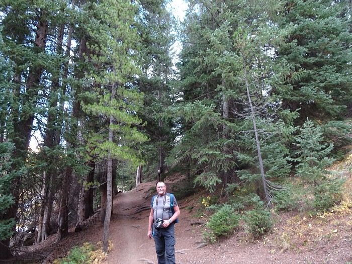 Everywhere, stunning splashes of color.
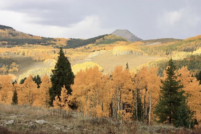 We tackle the climb.
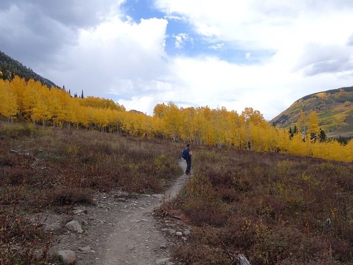 The trail goes right through the aspen trees.
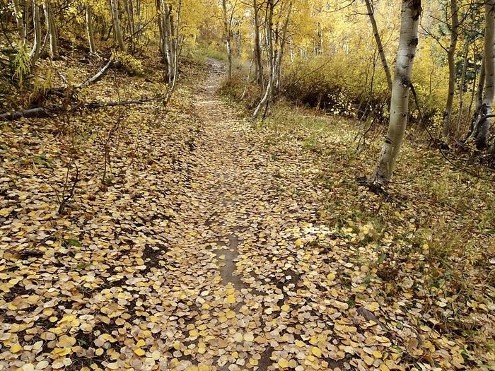
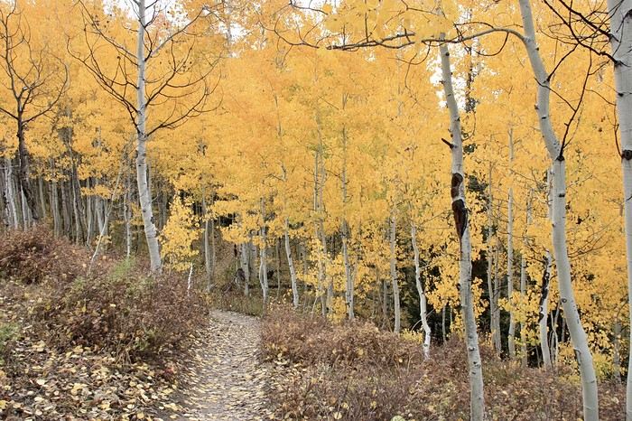 We’re walking on gold.
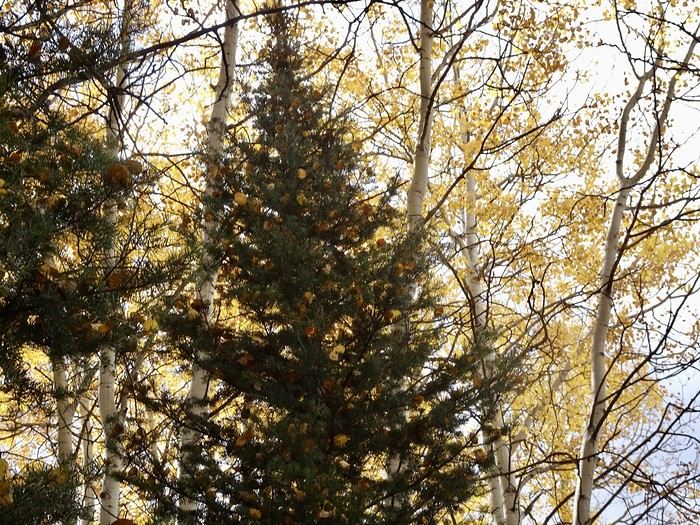
 No need to decorate the tree—the aspens take care of that.
 Our hike lasted about an hour, and it’s more pleasant and easier if you do it clockwise (downhill at the end rather than a steep climb at the start). But we could’ve extended the loop. It can also be done by mountain bike.
After this lovely hike, we returned to the lodge where we could settle in quietly for our two nights before heading out on foot to explore the town.
Tomorrow, another ghost town and waterfalls are on the agenda.
Our hike lasted about an hour, and it’s more pleasant and easier if you do it clockwise (downhill at the end rather than a steep climb at the start). But we could’ve extended the loop. It can also be done by mountain bike.
After this lovely hike, we returned to the lodge where we could settle in quietly for our two nights before heading out on foot to explore the town.
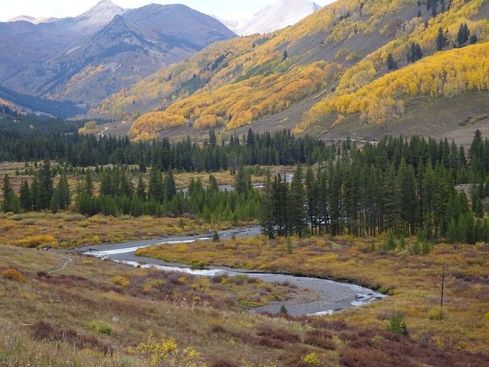
Tomorrow, another ghost town and waterfalls are on the agenda.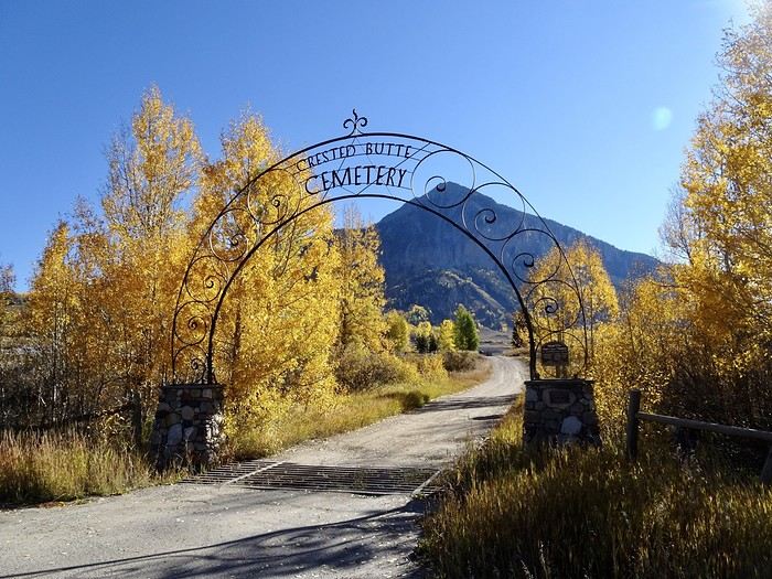 Then we head to the Ghost Town of Gothic for the short Judd Falls hike. This town, which had 1,000 residents in the 1800s, now has just 4. No run-down houses like you often see—just a lot of empty cabins and a visitor center that gave me details about the hike. From there, it’s a beautiful trail winding below a tall mountain with stunning views of the opposite slope.
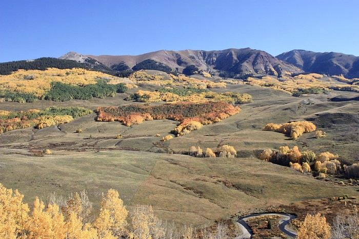
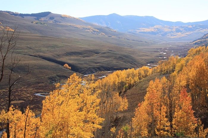
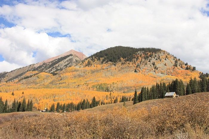
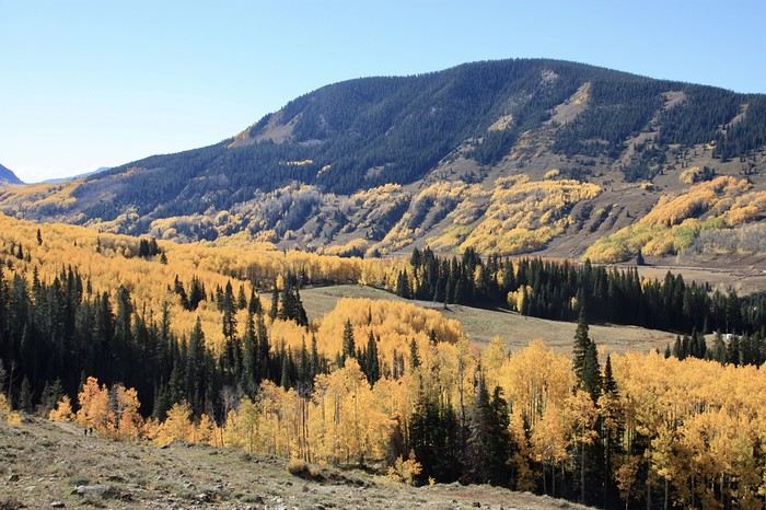
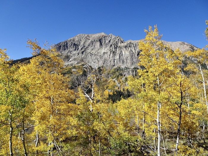
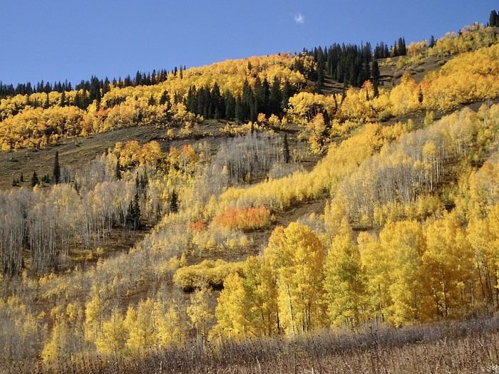
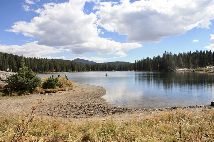
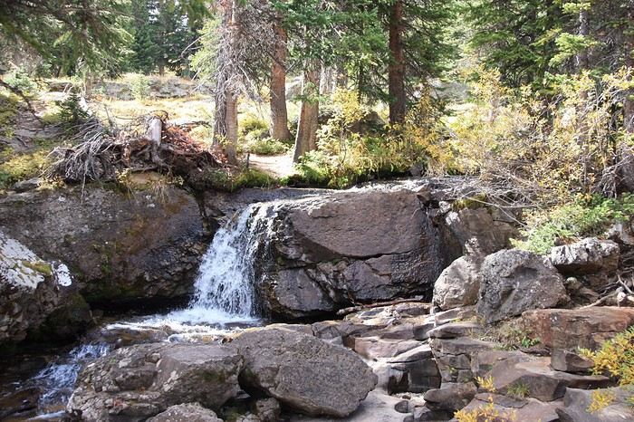
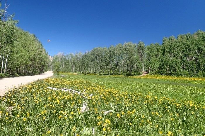
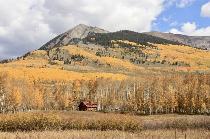 Golden trees, pink mountains, russet grasses, a winding stream, and the white-speckled trunks of aspen trees… Even after filling up on colors yesterday, we can’t get enough! The hike is easy, though it climbs quite a bit, and the pretty little waterfall at the end is the perfect reward.
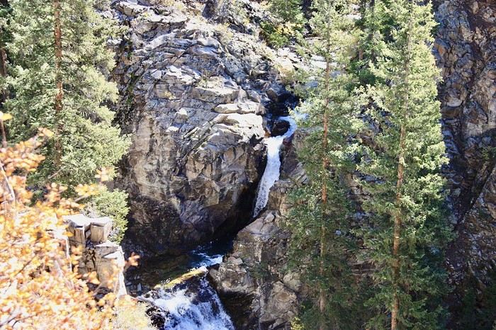 After just over an hour and 4.6 km, we’re back at the car and retrace our steps with just as much delight, stopping often to photograph all this beauty.
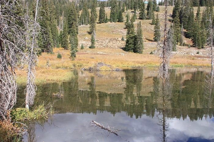
 We didn’t see any beavers, bummer!!!
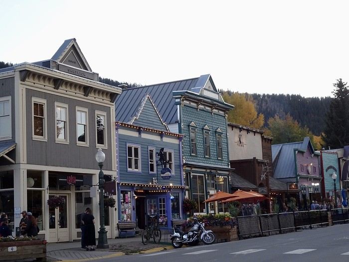
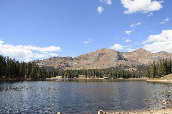 The walk is easy, and the 45-minute loop is nice, but I’m not sure it’s worth the detour—especially since, even though it’s drivable, the bumpy road leading there isn’t great!!! For those who want to see the tiny waterfall, it’s not far from the parking lot in a clockwise direction. Last photos of Crested Butte and its little houses.
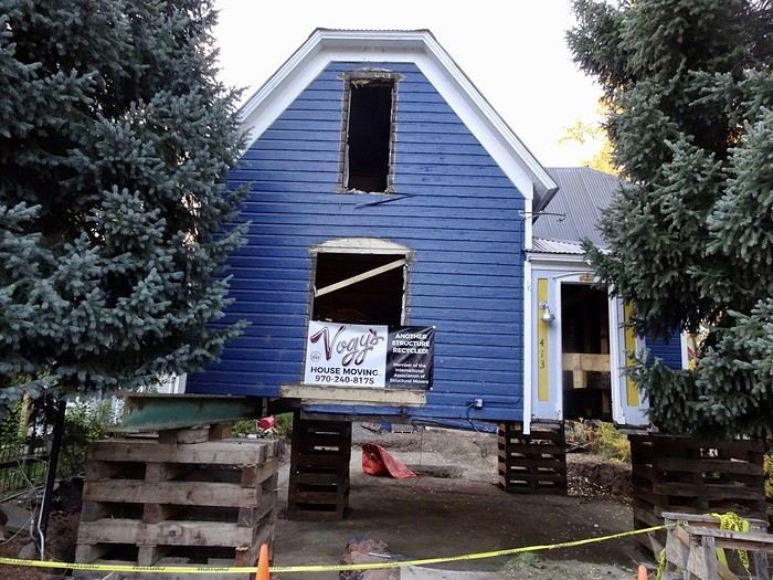
 We even saw a house being dismantled to be moved elsewhere!
 Great meal at the Bruhaus restaurant (though I can’t remember the price).
Tomorrow, off to Glenwood Springs!!! We’ll take the Kebler Pass again for our enjoyment
Great meal at the Bruhaus restaurant (though I can’t remember the price).
Tomorrow, off to Glenwood Springs!!! We’ll take the Kebler Pass again for our enjoyment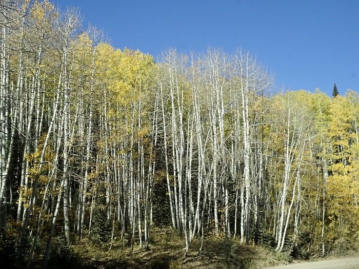
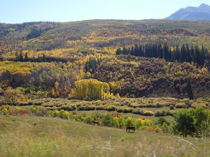
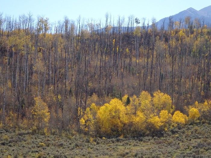 Some are completely bare now, and even though the road is still stunning, it doesn’t give us the same “Wow” as on the way there. That doesn’t stop us from stopping to take more photos—some spots are still absolutely gorgeous.
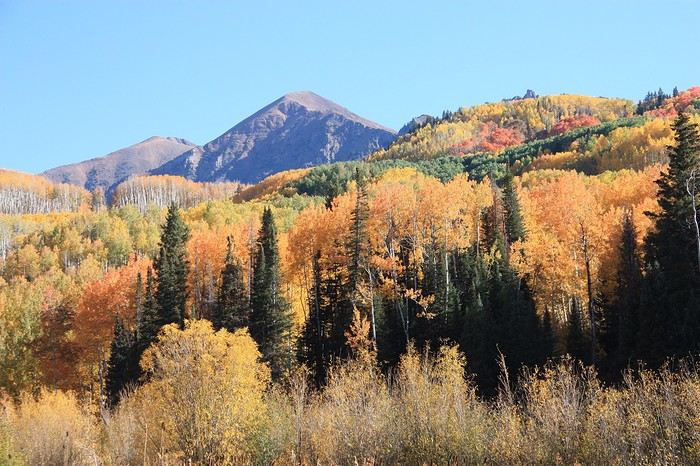
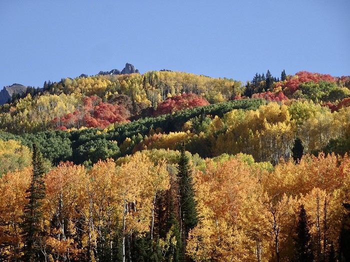
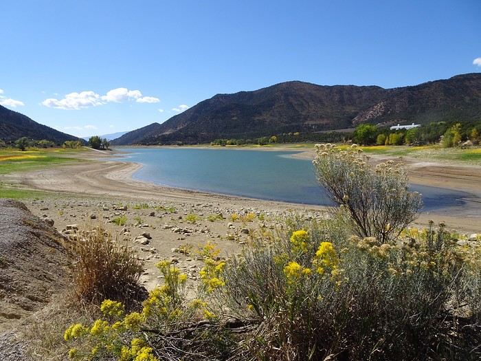
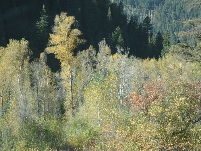 DD is thrilled to leave the dirt road for the asphalt of the West Elk byway. We drive alongside a nearly dry dam for kilometers, with the river reduced to a tiny stream.
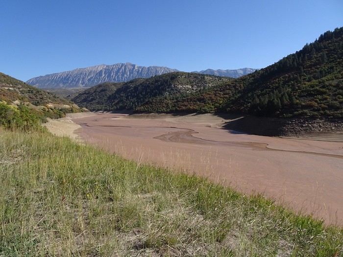 Seeing the distance between the two banks, you can’t help but worry about the drought. This road is breathtaking, winding between mountains and valleys.
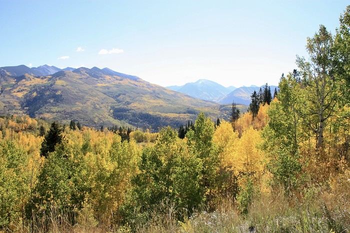
 It offers us even more stunning views after Mac Clure Summit—a beautiful mosaic of greens and yellows that would make any painter envious!
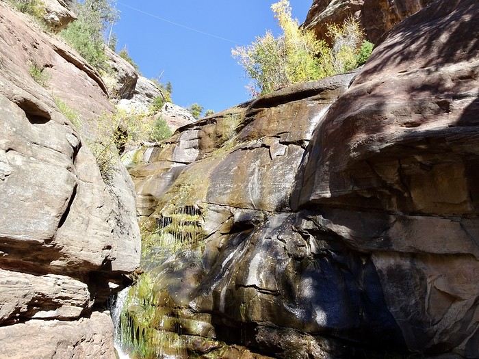
 Quick stop at Hayes Creek Falls (right by the road).
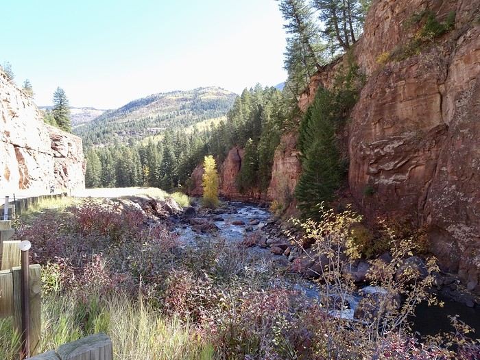
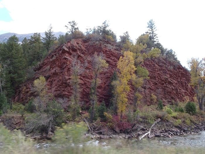
 On the other side of the Crystal River.
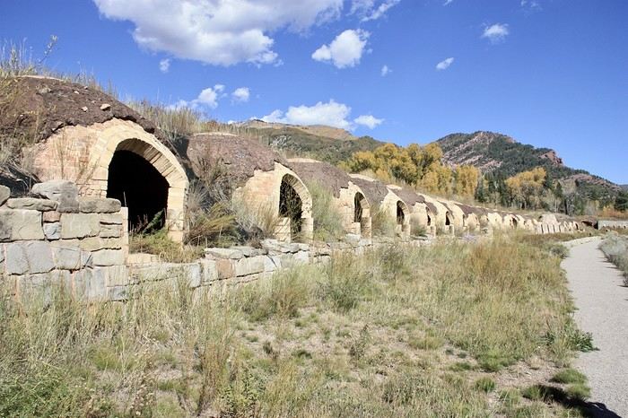 The back of the ovens
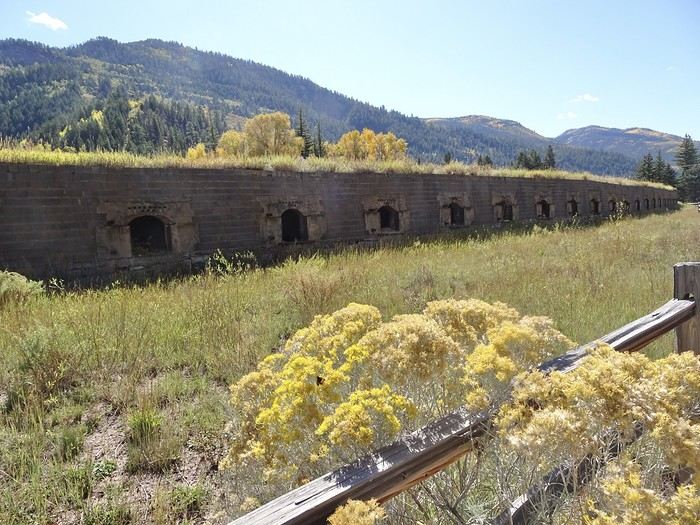 The coal from the surrounding mountains was ideal for turning into coke, but less than 10 years later, the mines closed (I won’t tell you why because I don’t know!!), and the ovens fell into disuse.
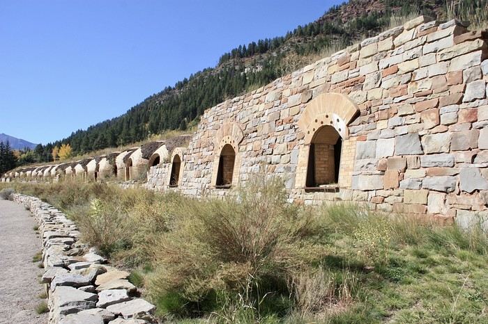
Many deteriorated, others were looted, but 90 ovens are still relatively intact, and some have been restored to their early 20th-century state to preserve the memory of a time when life was incredibly tough for both people and animals.
When in operation, the ovens were surrounded by stones like this
The coal from the surrounding mountains was ideal for turning into coke, but less than 10 years later, the mines closed (I won’t tell you why because I don’t know!!), and the ovens fell into disuse.
Many deteriorated, others were looted, but 90 ovens are still relatively intact, and some have been restored to their early 20th-century state to preserve the memory of a time when life was incredibly tough for both people and animals.
When in operation, the ovens were surrounded by stones like this
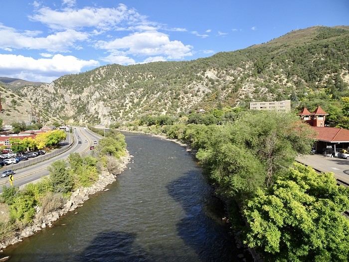 and the famous large hot springs pools the town is known for.
I’d kind of planned to spend a few hours there the next day, but seeing the crowds from the bridge, we decide to skip it and visit a small state park about 45 km north of the city instead.
A little more nature will be welcome to enjoy our last few days.
After that, some relaxation in the hot tub before dinner.
and the famous large hot springs pools the town is known for.
I’d kind of planned to spend a few hours there the next day, but seeing the crowds from the bridge, we decide to skip it and visit a small state park about 45 km north of the city instead.
A little more nature will be welcome to enjoy our last few days.
After that, some relaxation in the hot tub before dinner.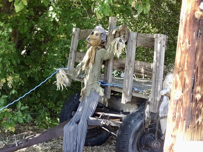
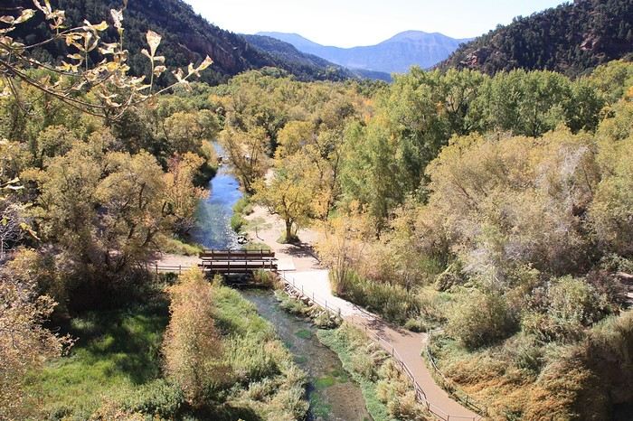
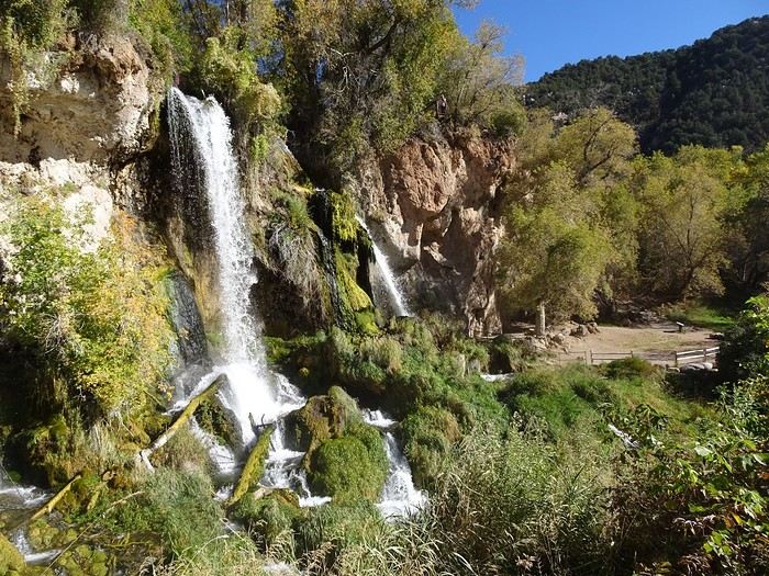
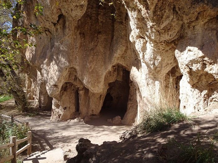 The master of the place (a face appeared when we looked at the photos).
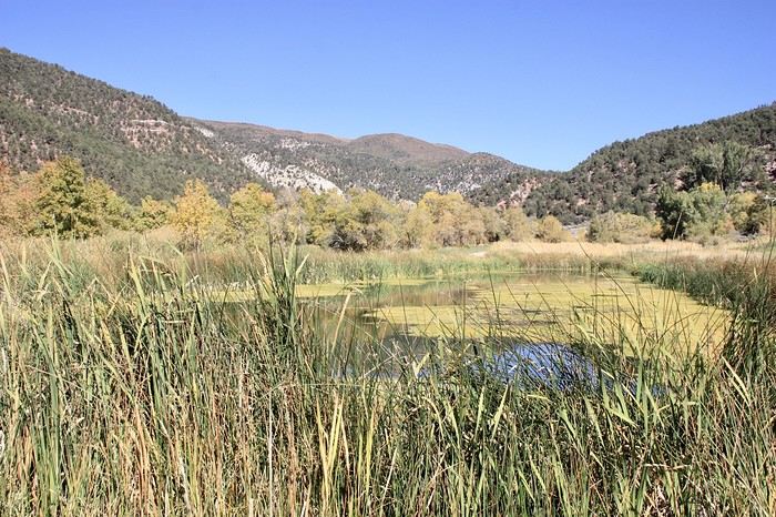
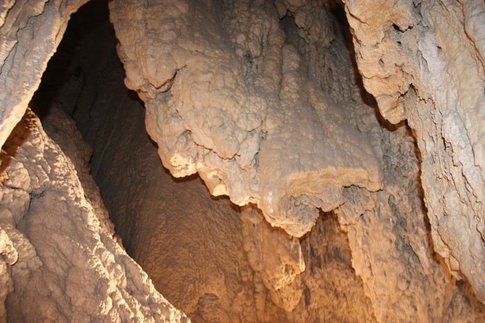 And two small ponds.
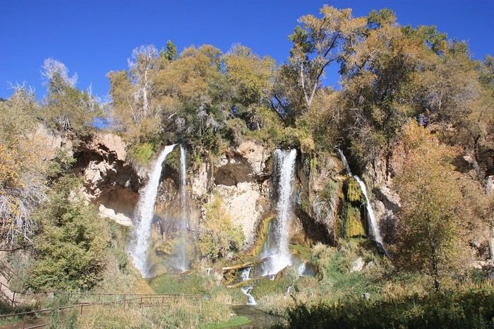
 Before reaching the top of the falls, where viewpoints are set up so we can see them from different angles.
We return downhill via a trail reinforced with wooden steps. This little walk is easier in a counterclockwise direction, and the place is really worth the trip.
Before reaching the top of the falls, where viewpoints are set up so we can see them from different angles.
We return downhill via a trail reinforced with wooden steps. This little walk is easier in a counterclockwise direction, and the place is really worth the trip.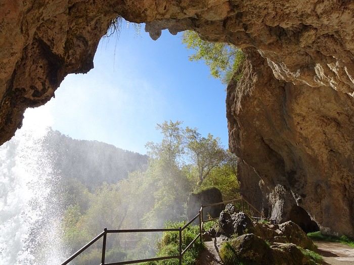
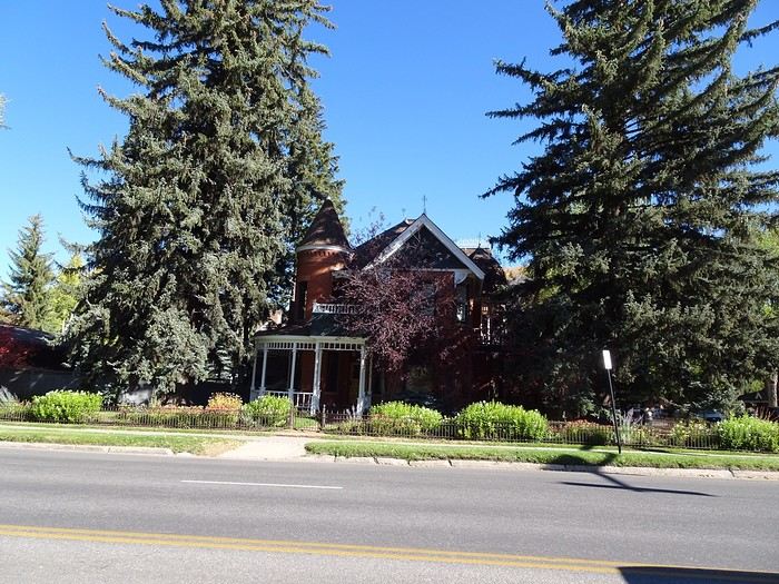 but didn’t stop—our failed Telluride experience left us a bit cold about towns that are too fancy for us. We spotted a whole flock of geese on a golf course, likely stopping over during their long migration. Too bad they weren’t in flight.
We found those lovely autumn colors again on the pretty, narrow road leading to the pass.
but didn’t stop—our failed Telluride experience left us a bit cold about towns that are too fancy for us. We spotted a whole flock of geese on a golf course, likely stopping over during their long migration. Too bad they weren’t in flight.
We found those lovely autumn colors again on the pretty, narrow road leading to the pass.
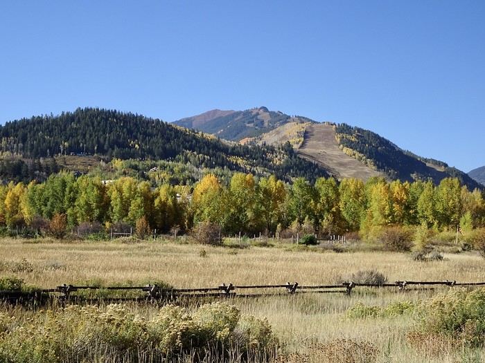
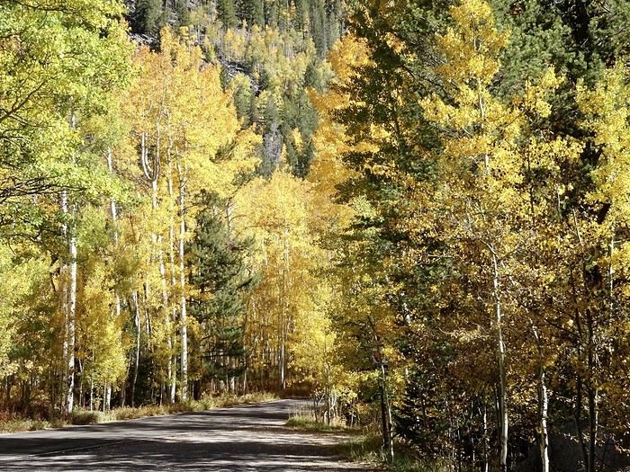
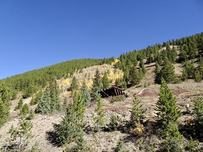
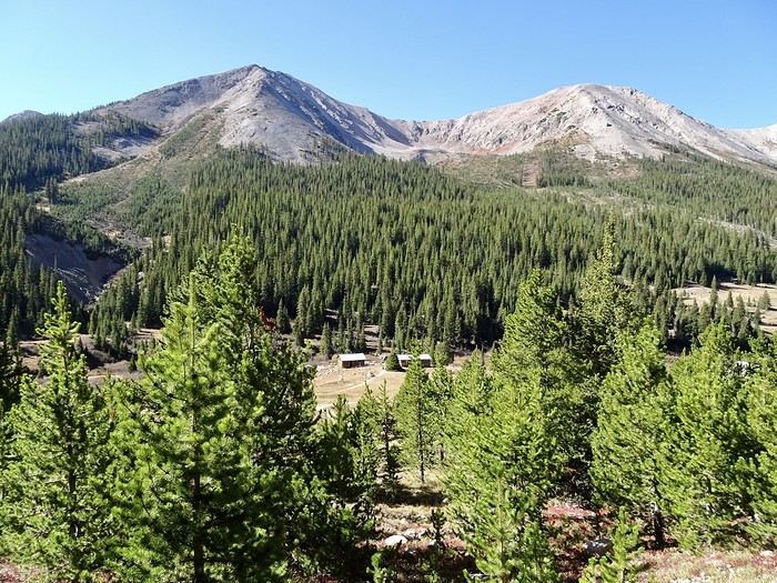 We didn’t go down into the valley to explore—just admired it from the viewpoint.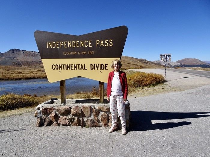
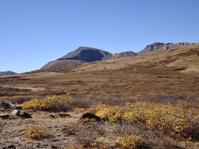
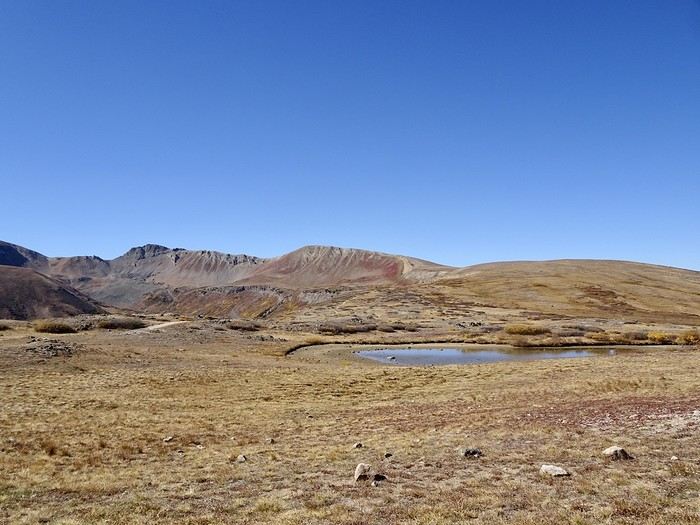 and took in the surrounding peaks
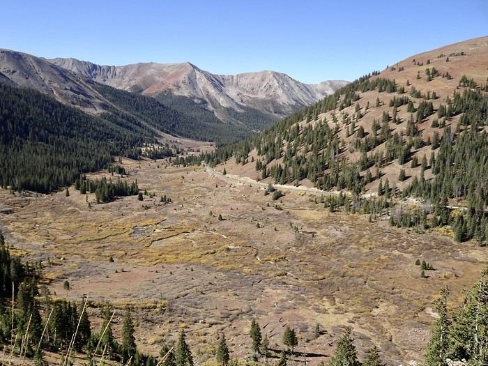 before continuing toward Twin Lakes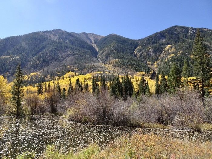
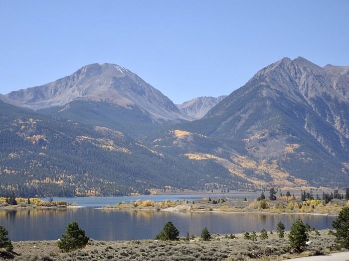
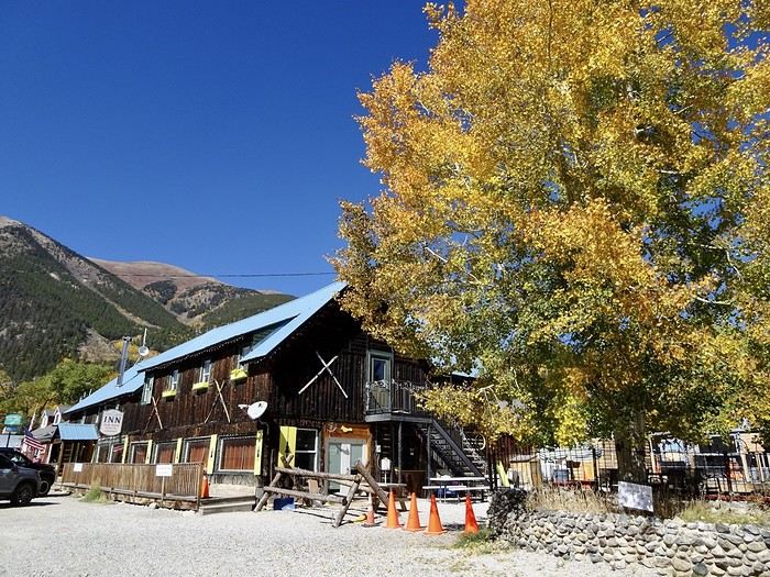 The road continues along the Arkansas River through valleys and plains with large herds, ranches, and old barns.
Leadville, where you can see the charming chaos of this former mining town and its historic buildings.
The road continues along the Arkansas River through valleys and plains with large herds, ranches, and old barns.
Leadville, where you can see the charming chaos of this former mining town and its historic buildings.
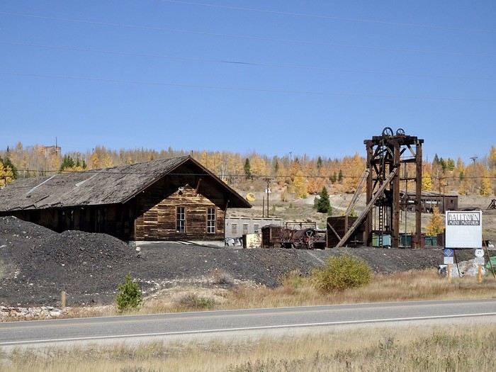 We tackle Fremont Pass and its gently sloping mountains before hitting I-70.
By 2 p.m., we’re in Georgetown.
Honestly, taking this route to get to Georgetown was a great choice, even if it was longer. This beautiful state of Colorado gave us one last gift by offering us stunning landscapes once again.
A quick visit to this cute little town, with lovely buildings—maybe a bit too quiet (I love seeing the younger generations wandering around!!!).
We tackle Fremont Pass and its gently sloping mountains before hitting I-70.
By 2 p.m., we’re in Georgetown.
Honestly, taking this route to get to Georgetown was a great choice, even if it was longer. This beautiful state of Colorado gave us one last gift by offering us stunning landscapes once again.
A quick visit to this cute little town, with lovely buildings—maybe a bit too quiet (I love seeing the younger generations wandering around!!!).
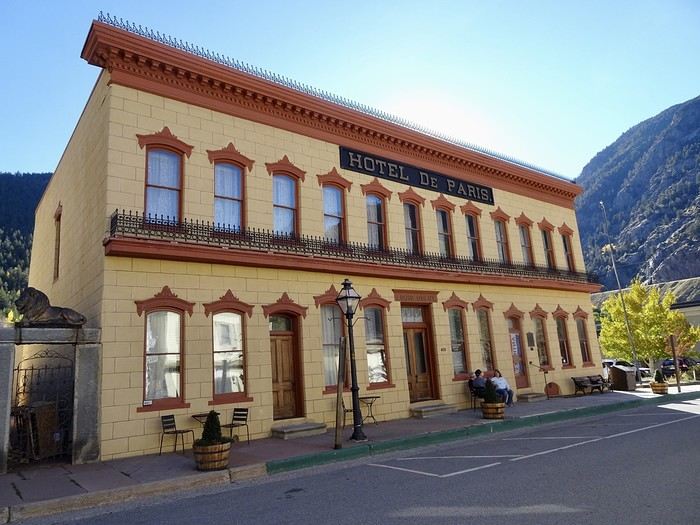
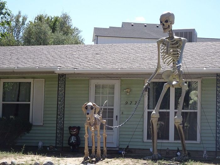
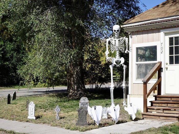
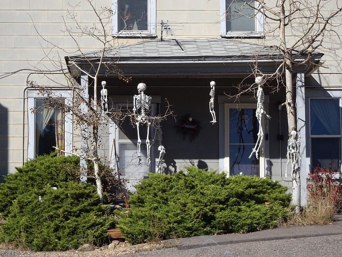
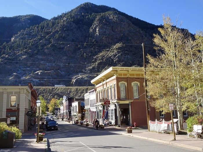 Not many Halloween decorations yet, except at the tourist attraction Georgetown Loop Railroad.
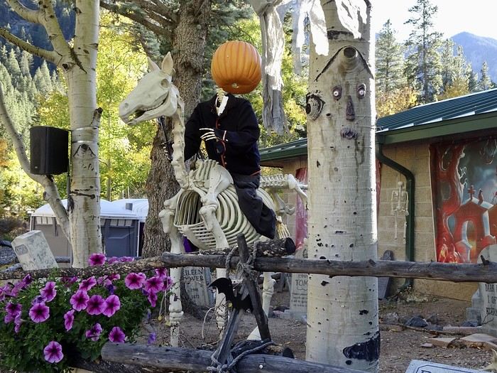 Help, I’m being attacked by a skeleton!
 The suitcases are packed, last dip in the hot tub before walking to dinner at the friendly and delicious Cooper’s on the Creek, and now we’re ready for our last night in Colorado 😢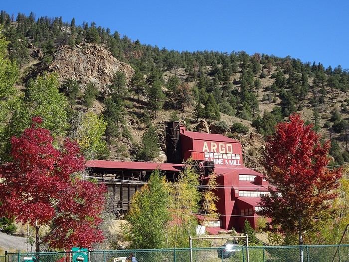
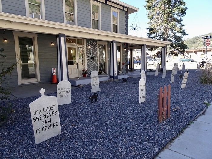
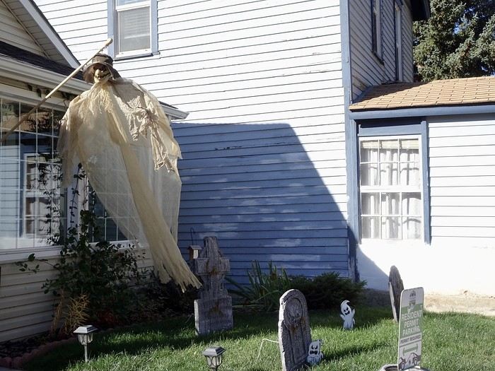
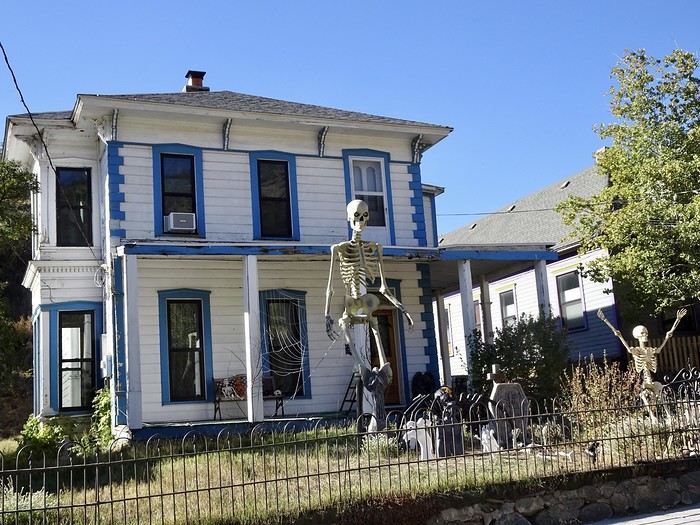
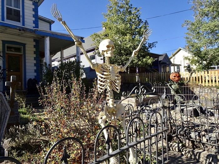
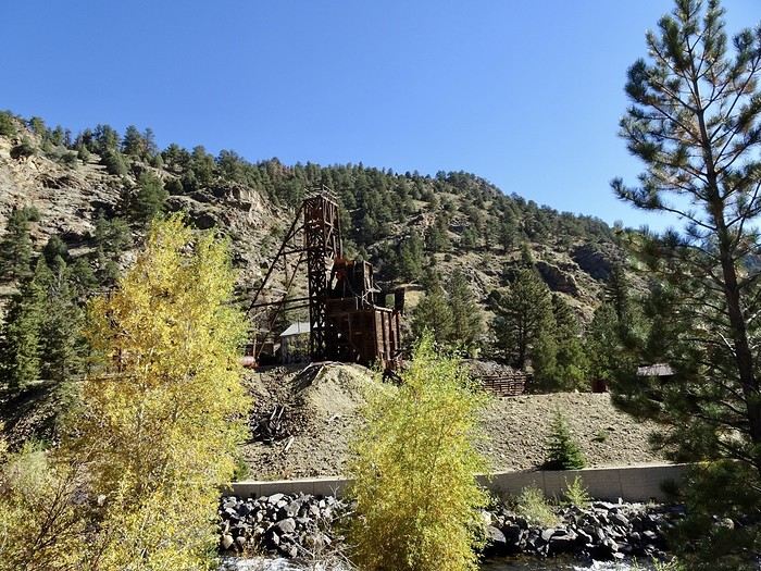 and look for a spot to walk around downtown since we see lots of houses decorated for Halloween. The big kids we are just love it!!!!
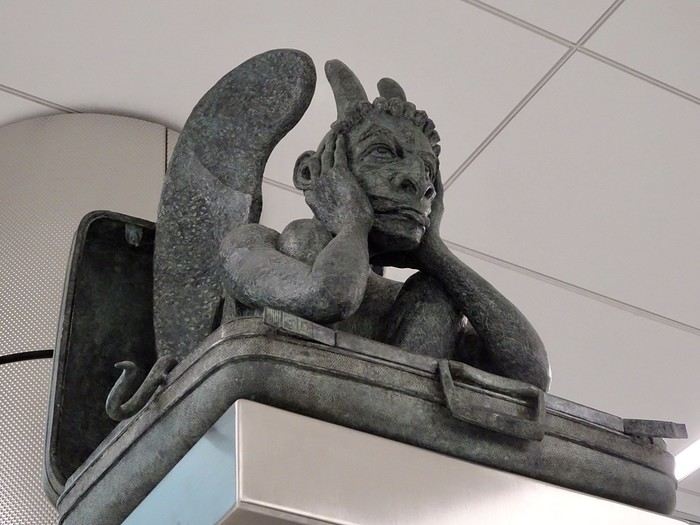
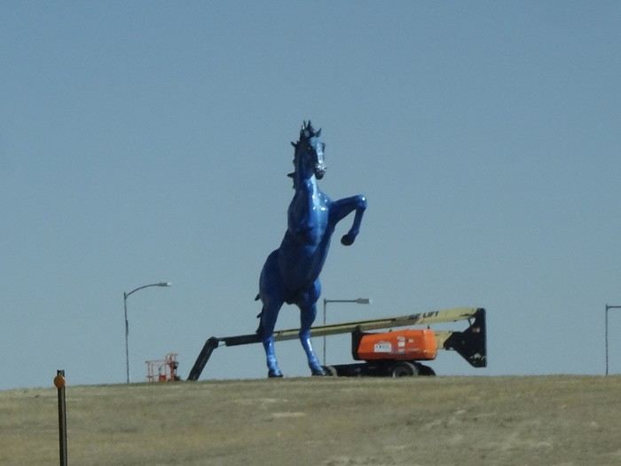 I looked for the apocalyptic murals inside the airport (we’d seen them on our last trip), but since it was under construction, they weren’t visible, and all I found were some gargoyles.


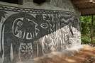
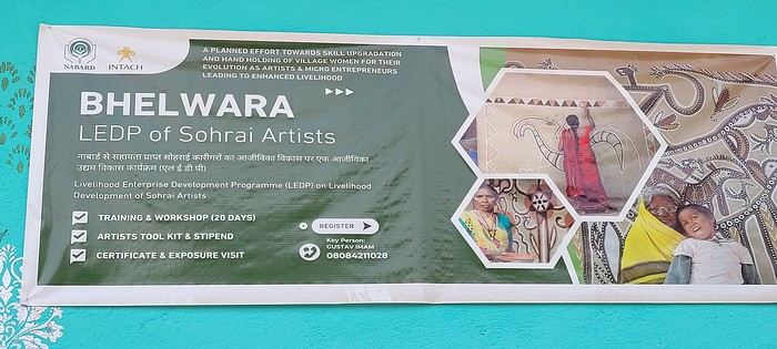
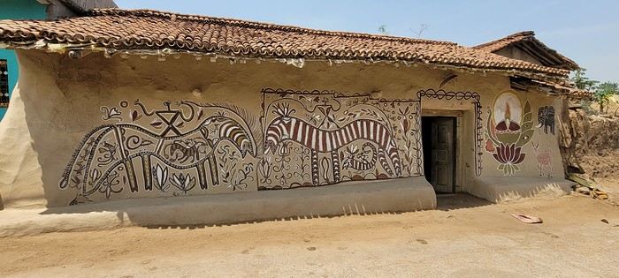
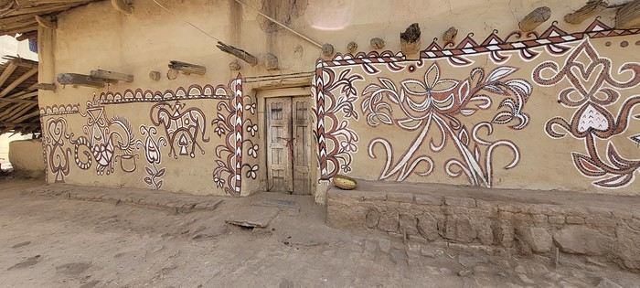
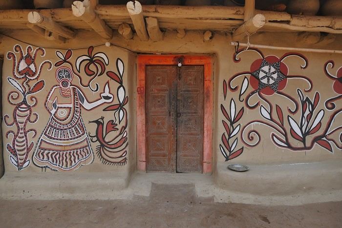
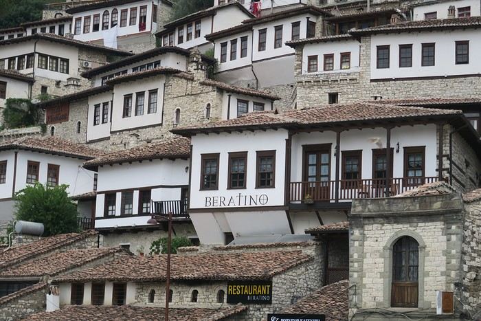
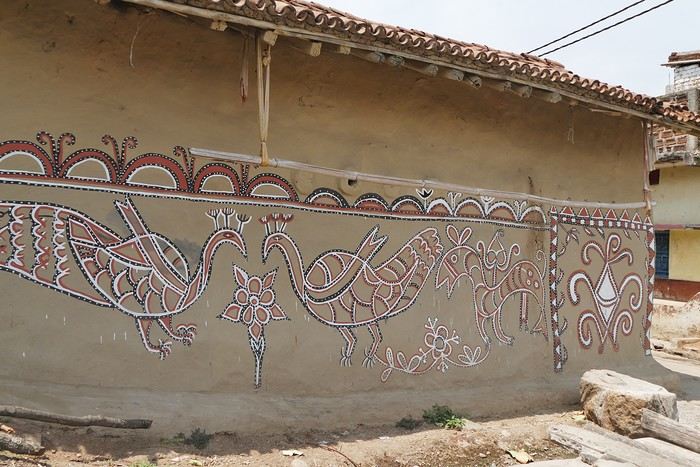 On some paintings, the scenes become almost narrative: you can make out figures, everyday gestures, like a memory of the village inscribed in the walls. The decorative frames around the doors aren’t left to chance either—they symbolically protect the house, like a boundary between the inside and the outside world.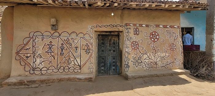
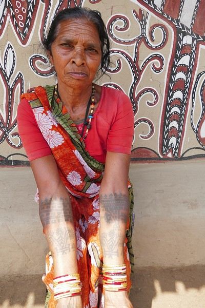
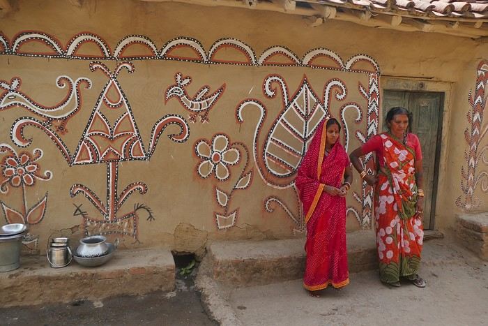
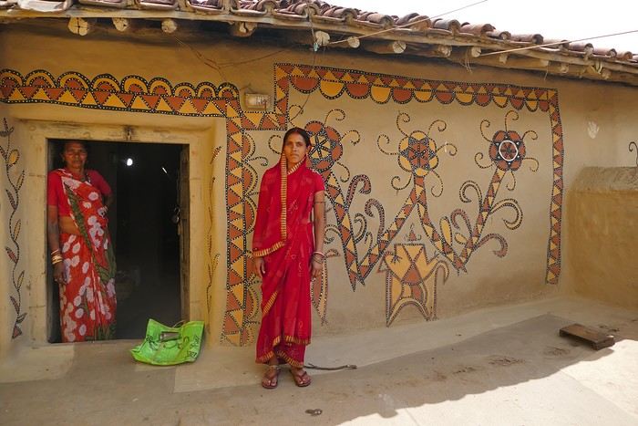
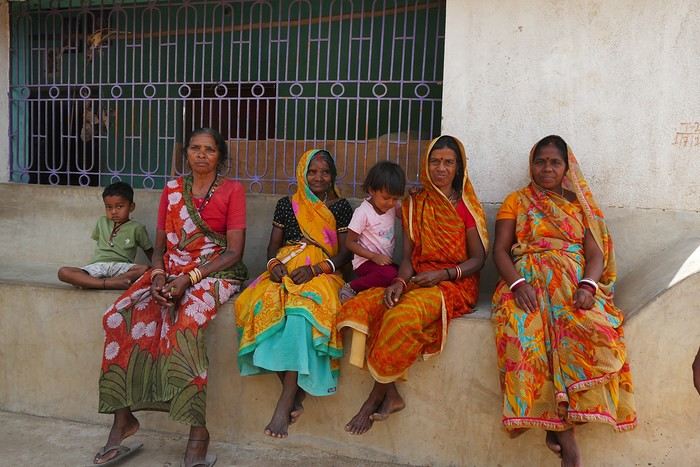




 A little sneak peek?























 Come along, I'm taking you to this country where it's so nice to wander and slow down...
 I’m inviting you on a stroll through my drawings—a completely subjective, far from exhaustive, and totally personal take, since it’s based on my own sketches. I put this travel journal together after returning in late 2024, mostly using felt-tip pens and pencils, with a few collages thrown in. I worked from our personal photos.
 And in Kyoto, Nishiki Market:




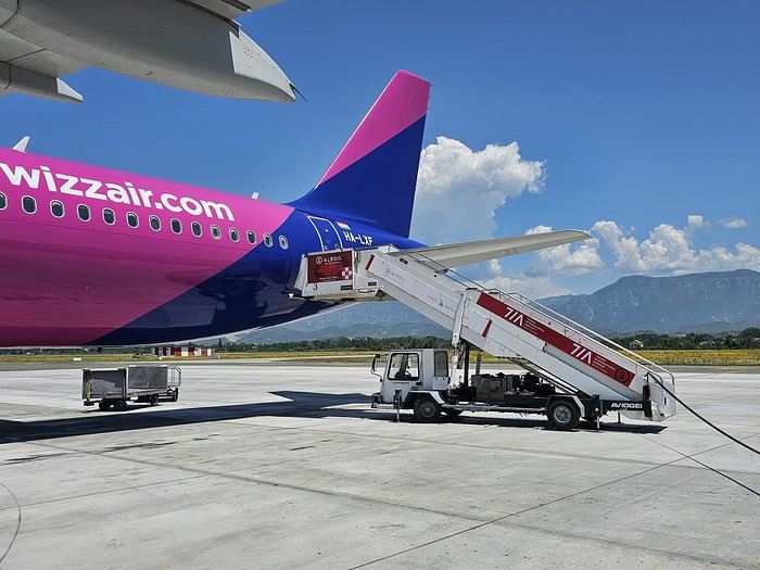 Since Albania isn’t part of Europe when it comes to phone service (at least not yet! :-)), we had to buy a physical SIM card—otherwise, the bill would’ve been sky-high if we’d used our French plan! We got one from Vodafone AL at the airport. You can buy online before leaving with a virtual SIM (e-SIM) for compatible phones, so you don’t have to swap cards. But given the uncertainty about choosing a plan online, we preferred buying one directly at Tirana Airport. Cost: 31 € for 100 GB. That’s way too much—100 GB is overkill. For 40 GB, it’s 27 €, and the plan lasts 21 days. The price difference isn’t huge, and it was cheaper than online. This plan covers all the countries along the Balkan range.
Money tip: All guesthouses and accommodations accept euros. The local currency in Albania is the LEK. In Montenegro, it’s the euro. Bank fees for withdrawing money from an ATM in Albania are pretty steep: 8 € for a withdrawal of 600–700 LEK (about 200 €)! So it’s better to withdraw cash (euros) in France. Oh, and we booked all our accommodations before leaving, but payment is always in cash. Budget around 400–500 € for 9 days of trekking.
Since Albania isn’t part of Europe when it comes to phone service (at least not yet! :-)), we had to buy a physical SIM card—otherwise, the bill would’ve been sky-high if we’d used our French plan! We got one from Vodafone AL at the airport. You can buy online before leaving with a virtual SIM (e-SIM) for compatible phones, so you don’t have to swap cards. But given the uncertainty about choosing a plan online, we preferred buying one directly at Tirana Airport. Cost: 31 € for 100 GB. That’s way too much—100 GB is overkill. For 40 GB, it’s 27 €, and the plan lasts 21 days. The price difference isn’t huge, and it was cheaper than online. This plan covers all the countries along the Balkan range.
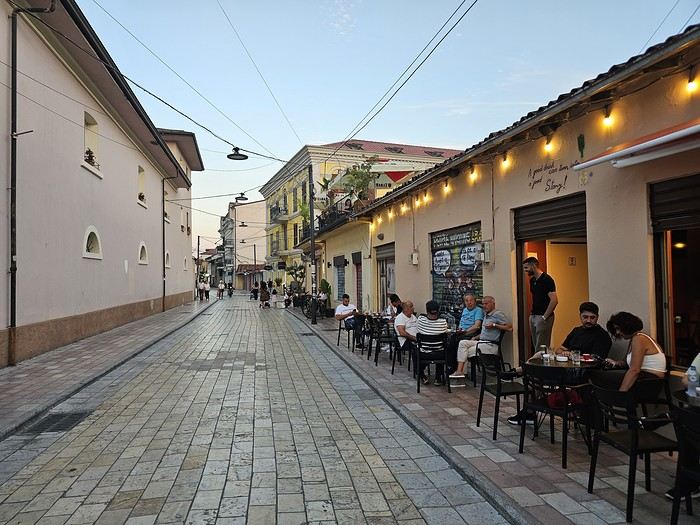
Money tip: All guesthouses and accommodations accept euros. The local currency in Albania is the LEK. In Montenegro, it’s the euro. Bank fees for withdrawing money from an ATM in Albania are pretty steep: 8 € for a withdrawal of 600–700 LEK (about 200 €)! So it’s better to withdraw cash (euros) in France. Oh, and we booked all our accommodations before leaving, but payment is always in cash. Budget around 400–500 € for 9 days of trekking.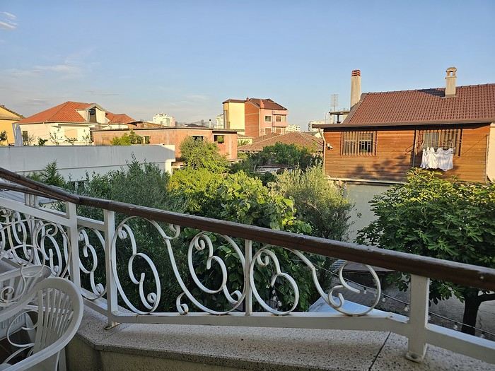 I really liked Shköder, especially its pedestrian street lined with restaurants and lit up at night. It’s a great place to stroll and eat. The food isn’t expensive—two big salads and two beers: 14 € :-) . Fruit prices are also very reasonable: 3 € for a kilo of cherries, compared to 9–10 € in France.
Religions coexist peacefully in these countries—Catholics and Muslims. From our balcony, my friend heard the call to prayer for the first time, coming from one of the city’s mosques.
I really liked Shköder, especially its pedestrian street lined with restaurants and lit up at night. It’s a great place to stroll and eat. The food isn’t expensive—two big salads and two beers: 14 € :-) . Fruit prices are also very reasonable: 3 € for a kilo of cherries, compared to 9–10 € in France.
Religions coexist peacefully in these countries—Catholics and Muslims. From our balcony, my friend heard the call to prayer for the first time, coming from one of the city’s mosques.
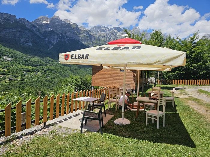
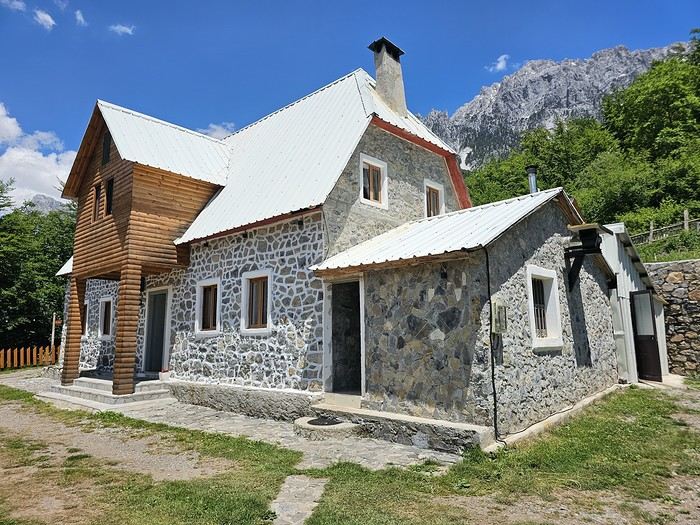 We slept in the heights of Theth at a new guesthouse, "Mountain Vista Shkafi," with an amazing view.