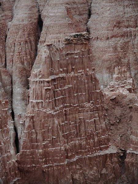
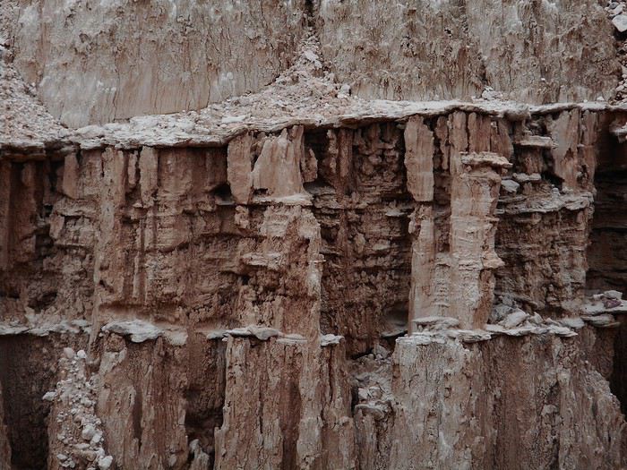
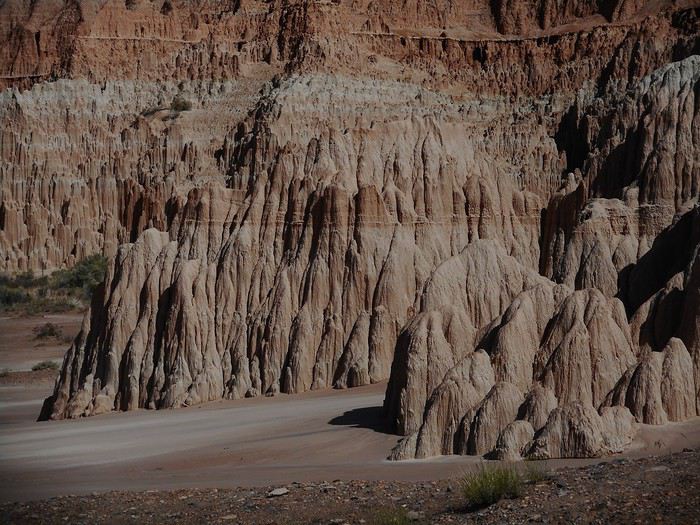
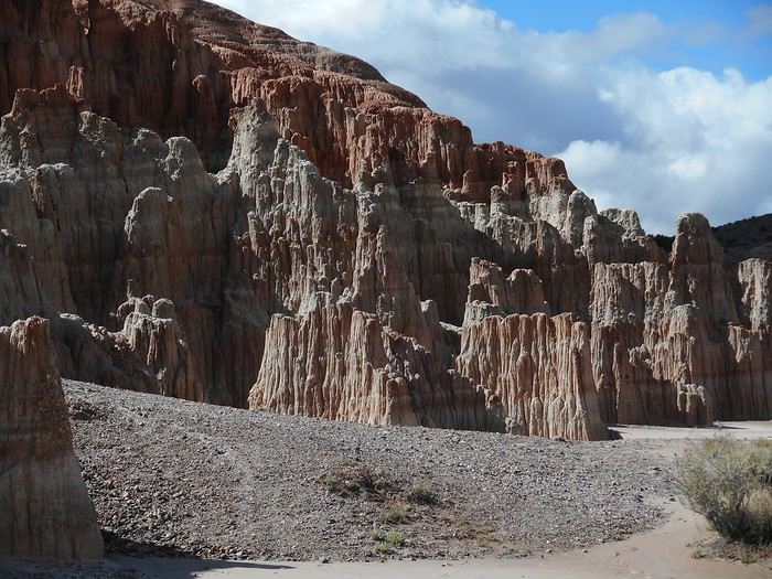
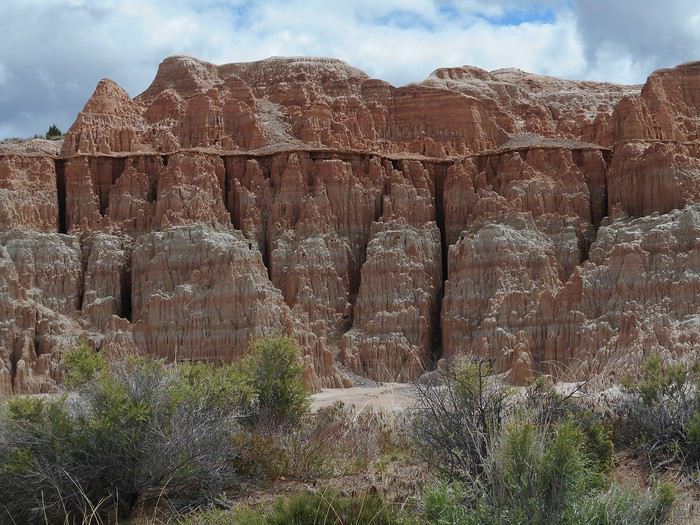
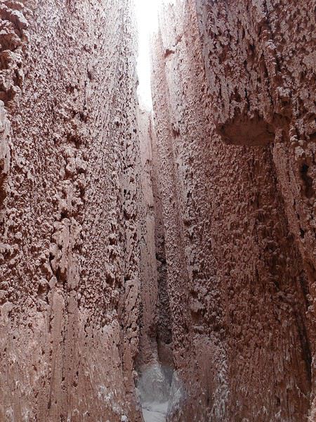
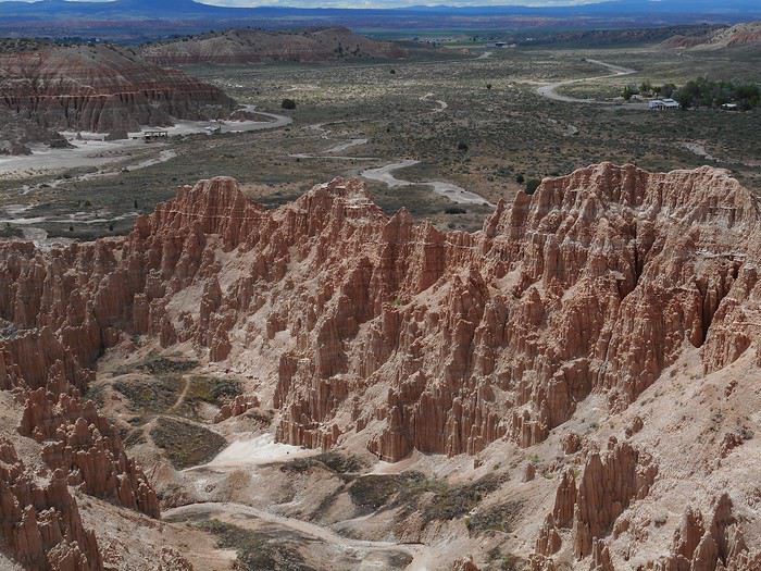
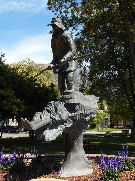
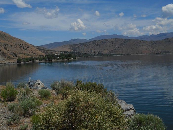
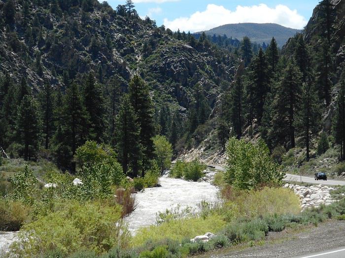
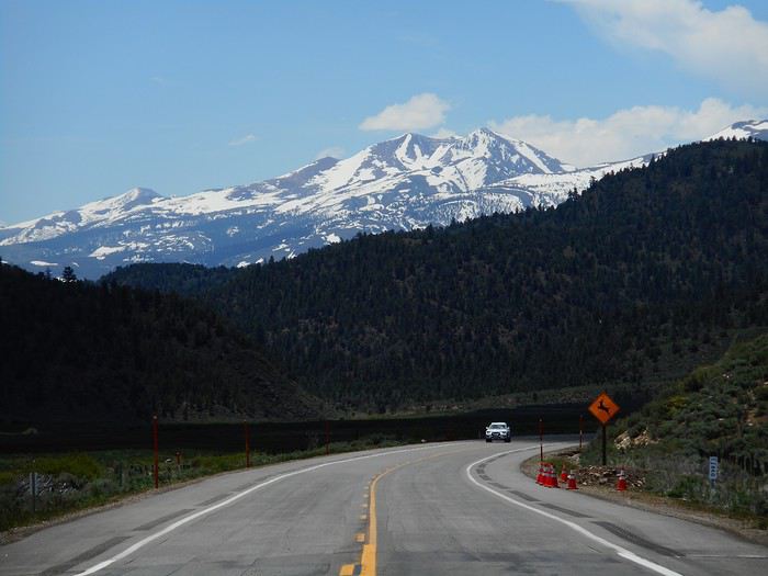
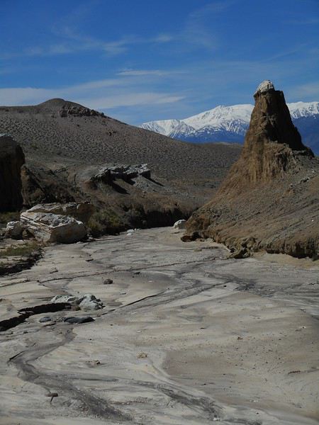
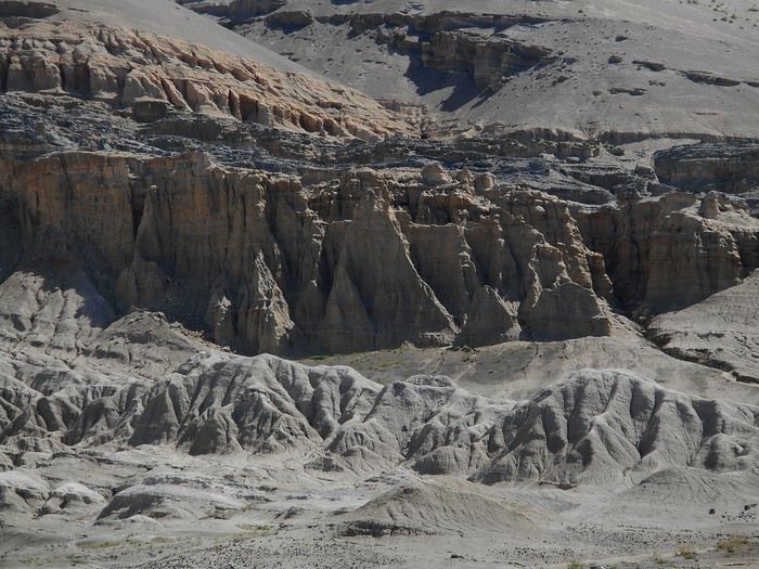
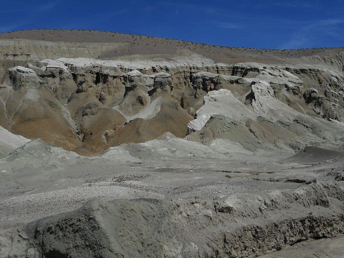
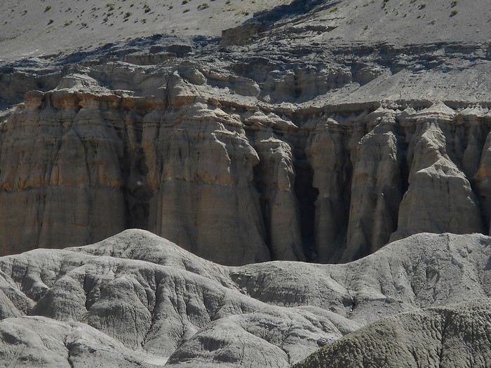
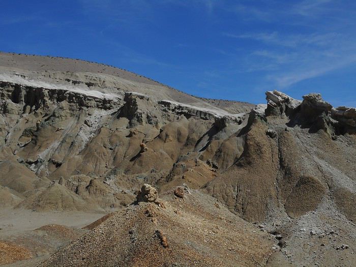
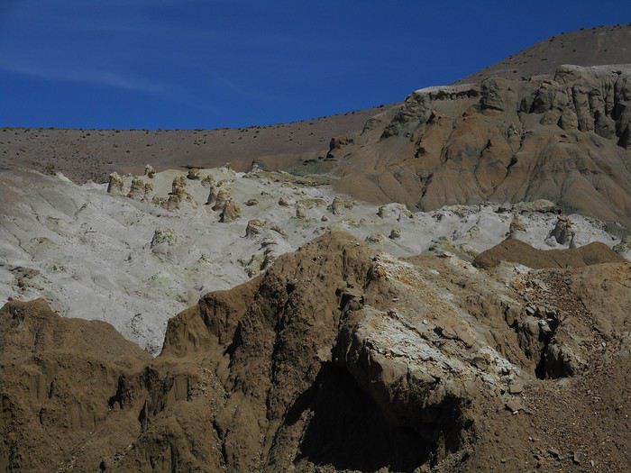
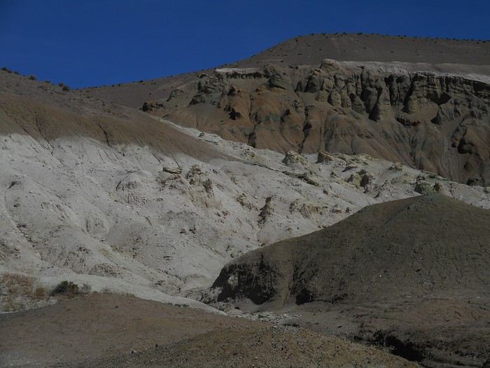
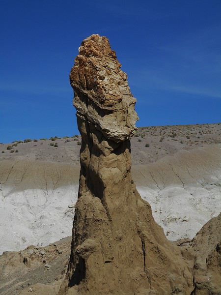
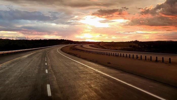
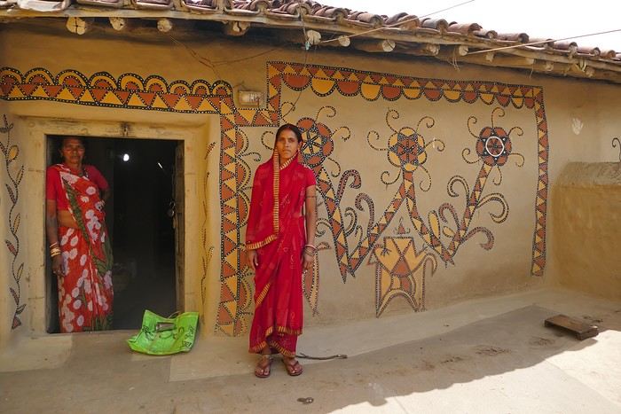
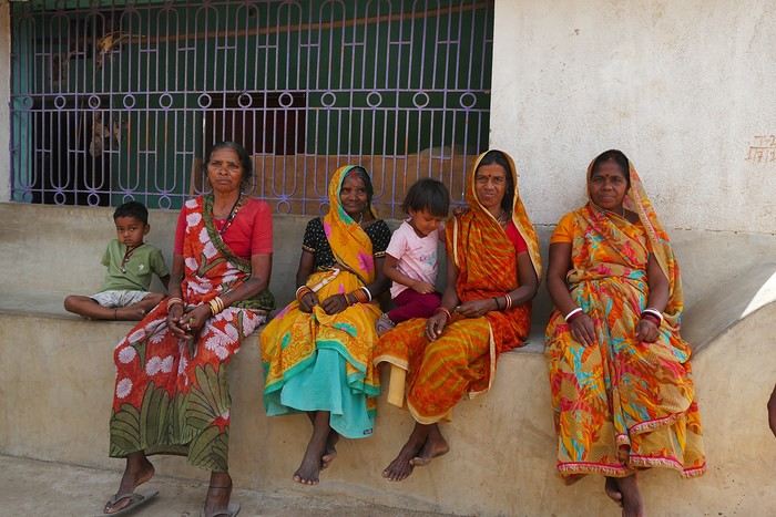
California! Nevada! Utah! Oh!
FR

Translated into English.

VA Valmichel86 Regular ·
Hi Guillaume, Yeah, I didn’t have that app either. I’m not always consistent with my prep—sometimes I’m thorough, other times not so much. At Watchman Campground, the site I reserved was in the "Walk-in tent sites" section (car parked 30 or 40 meters away). I had no trouble setting up the tent when I arrived (it wasn’t raining), so I slept in it. The ground was pretty absorbent, so it didn’t get wet. I’m not sure if sleeping in your car is officially allowed... some people did it that night. You can’t enter the campground without a reservation. But if you *do* have a site and don’t set up your tent for some reason (rain, early departure, etc.) and sleep in your car instead, I doubt anyone would say anything.
Valmichel86
VA Valmichel86 Regular ·
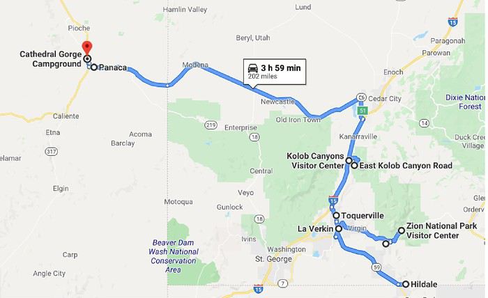
Day 16: Tuesday, May 28 (Zion National Park - Panaca )Route.


I planned to hike the "White Domes" above Hildale. If it wasn’t raining when I woke up, it had rained part of the night, and the forecast was bad for the day. I decided to check it out anyway; the rain started again before I left, but it stopped on the way down to "La Verkin." I took Route 59 toward Arizona—it climbs to leave the "Virgin River" valley and reach a plateau. Once on the plateau, I saw showers in the distance ahead. When I arrived in Hildale (it had started raining again), I followed the directions I had: "Utah Avenue," then "Water Canyon Road."

I headed down that trail—it was very muddy (hard to walk on), the hike was long (about 8 hours), and I’d have to cross "Squirrel Creek" early in the hike (was it even possible?). With the rain, I reluctantly gave up before reaching the "Squirrel Canyon Trail" parking lot.

So, I improvised for the day. I went back toward "La Verkin" on Route 59, and the rain stopped. Just before descending into "La Verkin," I got a view of the mountains north of the "Virgin River."


In "La Verkin," there’s a small municipal park near the confluence of the "Virgin River" and "La Verkin Creek" called "Confluence Park." I checked it out, but the spot wasn’t interesting (no great view of the confluence).

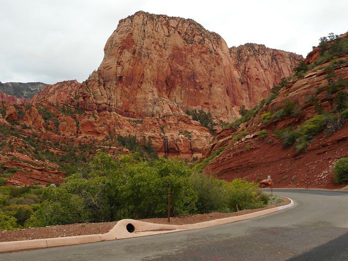
Since I was improvising, I decided to visit the northwest part of "Zion NP," called "Kolob Canyons." I stopped at the "Visitor Center," took the "Kolob Canyons Road" (a dead-end road), and drove all the way to "Kolob Canyons Viewpoint." This part of the park is at a higher elevation, so it was pretty chilly.

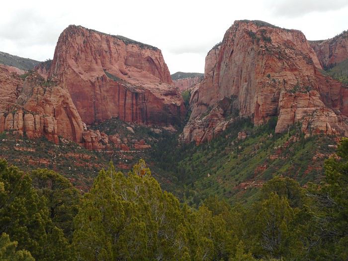
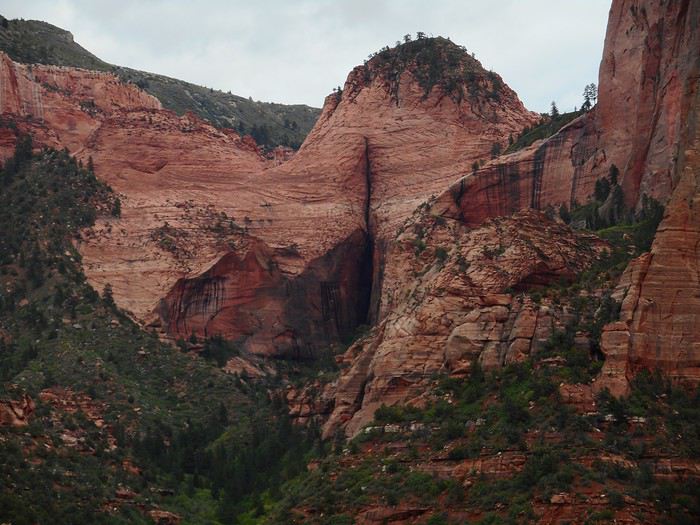
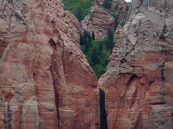
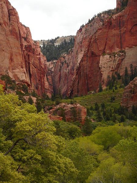
The "Timber Creel Overlook Trail" follows a ridge to a viewpoint (the trail was muddy but doable—logs and drier edges helped). Along the last stretch of the road and the entire trail, I enjoyed views of "Zion NP" to the east. There was an overview of the area with a narrow canyon in the center (this type of canyon is called a "finger canyon").


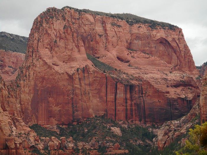
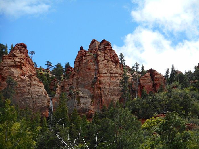
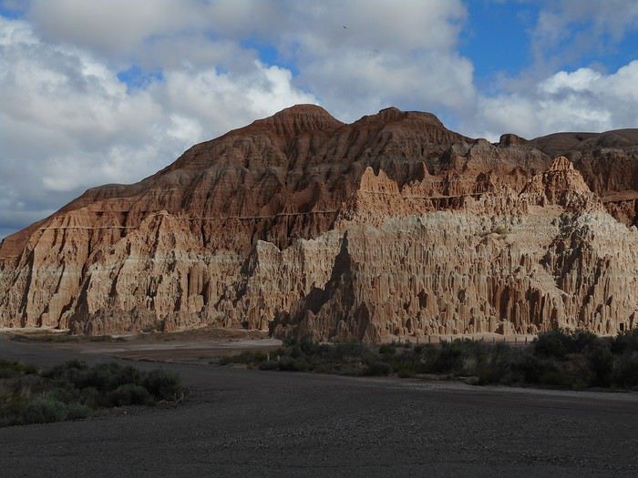
The main wall of the formation above.


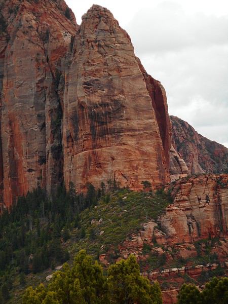
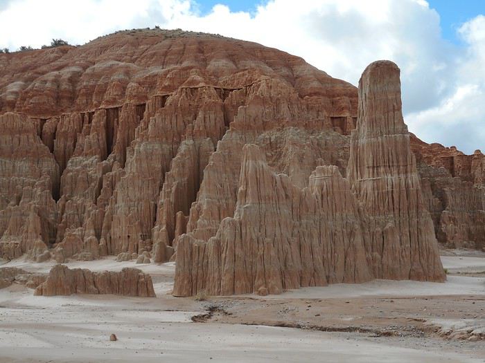
Another section with a spire (the first rock in the photo).


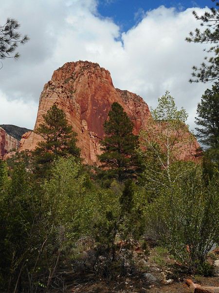
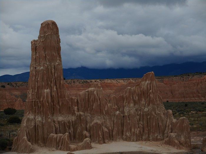
Here it is from another angle (it’s not vertical).


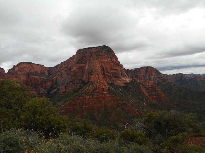
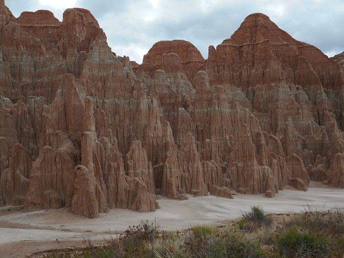
Another area of "Kolob Canyons."


A unique feature in "Zion NP": water and wind carried particles (dirt or other materials) into a completely mineral area. Vegetation took root, and over millennia, a "hanging garden" formed in an unlikely spot. I only saw this one, but apparently, there are others in the park.


On the way back, I stopped several times near where the road crosses "South Fork Taylor Creek"—another "finger canyon."


The sky cleared, and a little farther down the road, I set off on the "Taylor Creek Trail (middle fork)" hike, knowing I’d only have time for part of it. The trail descends near the creek and follows it upstream, with many stream crossings. Normally, it’s probably just a trickle of water, but today, I had to hop from rock to rock to cross. The trail was nice, and you could tell it would lead into a canyon—another "finger canyon," according to the info.


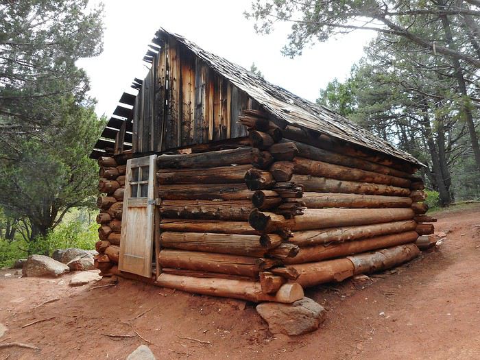
I didn’t go all the way to the canyon section and turned back at "Larson Cabin." The sky clouded over again.


I got back in the car and left the park a few minutes later. I took Interstate 15 toward "Cedar City" and, before reaching the city, saw a downpour hit the "Kolob Canyons" area behind me.

All that was left was to head to Panaca (Route 56 in Utah, then Route 319 in Nevada). The whole drive had HEAVY showers—sometimes to the right, sometimes to the left, sometimes right overhead... a lot of rain. Between Panaca and the intersection with US 93 (about 2 flat km), the cattle in the fields were wading through what was basically one giant puddle.

The campsites at "Cathedral Gorge State Park" (4 km from Panaca) were pretty well placed and/or designed (except the ones near the entrance, which were unusable). I found a spot where I could pitch my tent in decent conditions, maybe because there were very few other campers (it had stopped raining by the end of the day).
Valmichel86
VA Valmichel86 Regular ·
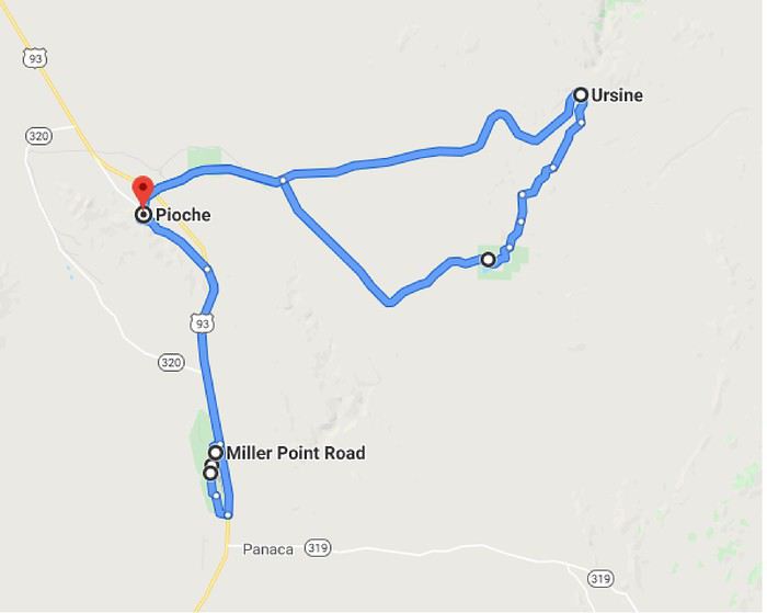
Day 17: Wednesday, May 29 (Cathedral Gorge State Park - Lincoln County: Pioche area)Route.


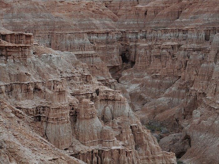
The "Visitor Center" is at the park entrance, and I get the impression the hostess is really bored waiting for hypothetical visitors. We chat, and she explains the documentation she gave me about the park and the region (Lincoln County). A beautiful day is ahead; I head back into the park, skip a spot I’ll check out later, and park in the area that gave the park its name: "Cathedral Caves." The park’s geological history (which I can’t fully explain) involves volcanoes, earthquakes, water with a lake that experienced level changes, and erosion.


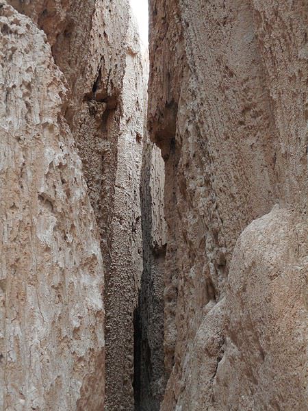
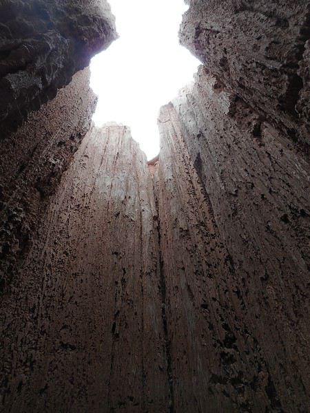
Walking on the sand (I think it’s sand), I enter very narrow mini-canyons that sometimes end in caves. The temperature in these canyons is always noticeably cooler than "outside."


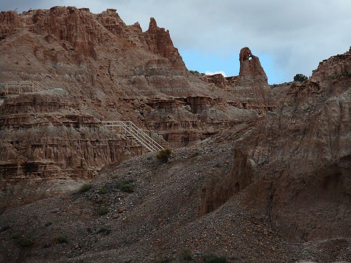
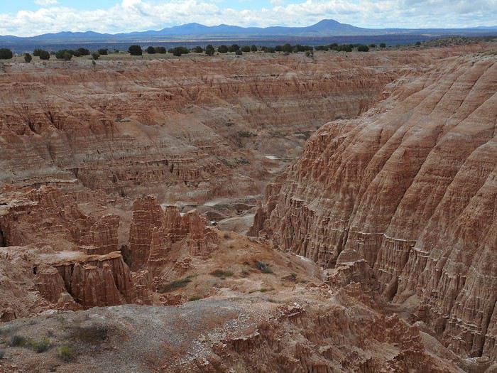
From the parking lot, a hike of just over 3 km round trip, the "Miller Point Trail," starts. In a different landscape, the trail, equipped with stairs to protect the terrain, climbs up to a plateau at "Miller Point" (with a kiosk and viewpoint).


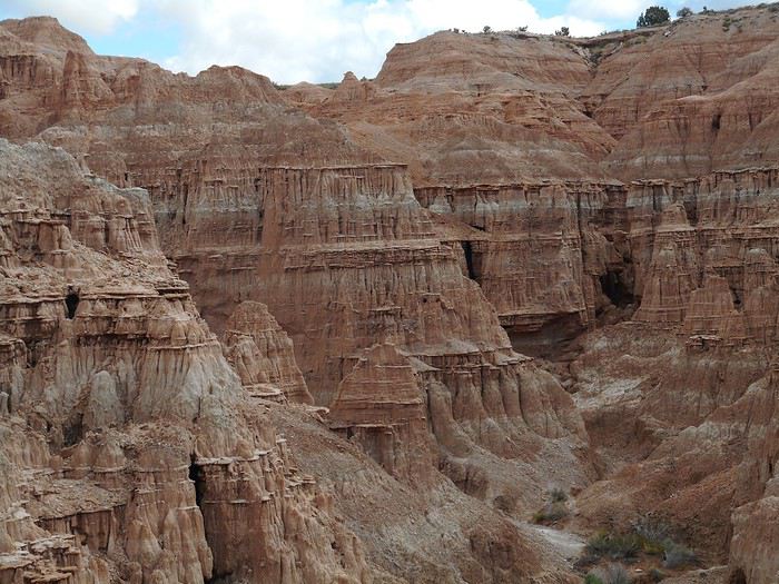
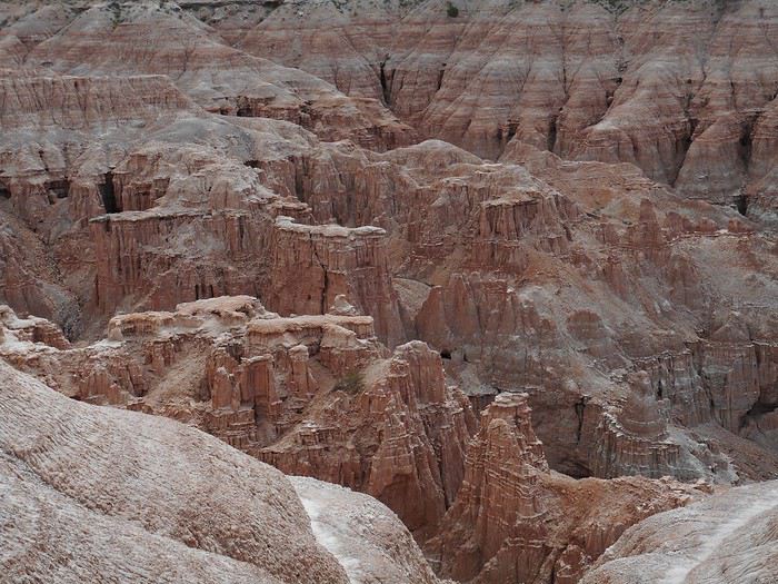
From "Miller Point," I overlook the landscape through which the trail is carved.


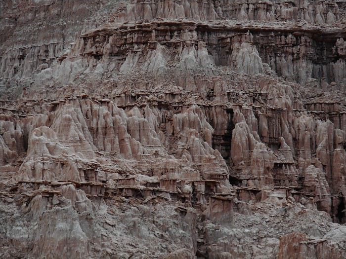
By adjusting the framing of the photos (excluding external elements like the sky or ground), you get a view that removes the sense of scale and feels more abstract.


On my way back to the park entrance, I stop at the spot I’d skipped earlier: "Moon Caves."


I find the same type of canyons as in "Cathedral Caves."


Leaving the park, I head north (US-93). Another entrance, 3 or 4 km further, leads to "Miller Point" via the plateau. It also provides access to a short hike, the "Eagle Point Trail," offering a panoramic view of the park.


On the left, the "Cathedral Caves" parking lot; on the right, the campground (trees). End of the visit to Cathedral Gorge State Park, a Nevada state park.
Valmichel86
DI Diamina Globetrotter ·
Hey Michel,

Your amazing photos of Cathedral Gorge are making me even more excited to visit this place. Some parts of the park remind me of the rock formations I saw in Valle de la Luna, in San Pedro de Atacama. So cool!! Why go from Yant Flat to Zion and then backtrack to Cathedral Gorge? Was that because of the weather?

Thanks for this follow-up.
Nord Chili, NOA, Sud Lipez, La Paz août 2012 https://voyageforum.com/forum/mois_dans_andes_peripeties_en_altitude_D5526293/ Apologie du southwest en hiver https://voyageforum.com/forum/apologie_sud-ouest_etats-unis_en_hiver_D5851267/ Impressions d'Afrique et de Namibie
GL Glll2012New Veteran ·
Hello

Great memories of Cathedral Gorge State Park where crowds aren’t around. But really disappointed by the lodging and dining options in that area.

It’s clear you don’t just stumble upon this park—it’s off the beaten path and pretty far from other parks.
Gilles 2019 : https://voyageforum.com/discussion/2019-voyage-se-faire-plaisir-d9730876/ 2017 : https://voyageforum.com/discussion/usa-2017-40-jours-bonheur-presque-d8161050/ 2015 : https://voyageforum.com/discussion/west-2015-encore-autrement-d7083633/
MA Marati Globetrotter ·
Michel, your photos of Cathedral Gorge are gorgeous! The fact that this park is so under-visited gives it extra appeal. So, if it also looks like Chile, it’s the jackpot! 😲😇...!!
PE Peggy16 Globetrotter ·
Hi Gilles,

Great memories of Cathedral Gorge State Park where crowds aren’t around.

That’s good—it’s exactly what we’re looking for! !😉

But really disappointed with the lodging and dining options in that area

I’ll make a note about the lack of dining options (we’ll probably stuff ourselves before or after in St. George, so it should be fine !😄). As for lodging, it’ll be one of our camping nights on the next trip, so I hope the weather’s nice!

Thanks, Michel, for the rest of your story! !
MA Marati Globetrotter ·
I’m noting the lack of dining options (we’ll probably stuff ourselves before or after in St. George, so it should be okay! !😄).

And where do you plan to stuff yourselves... 😛?
PE Peggy16 Globetrotter ·
And where do you plan to stuff your face... 😛?

Somewhere we don’t know yet, but I’ve only read good things about it! I’m sure you’ve got a little idea 😛
VA Valmichel86 Regular ·
Good evening Diamina, Peggy, Gilles, and Guillaume, actually, I had included this park and the Pioche area in my plans (I’d heard about the park, including from one of Gilles’ travel journals, I think). The route doesn’t depend on the weather but on the fact that Zion NP was the easternmost point of my trip. Now, I’m crossing Nevada toward the northwest, heading to the Carson City–Lake Tahoe area. The park was kind of on my way, and the route was also planned to pass near it.
Valmichel86
DI Diamina Globetrotter ·
Hey Michel,

I'm now heading northwest across Nevada toward the Carson City–Lake Tahoe area.

That makes more sense about the route. Cool! Still so many places I don’t know yet. See you soon.
Nord Chili, NOA, Sud Lipez, La Paz août 2012 https://voyageforum.com/forum/mois_dans_andes_peripeties_en_altitude_D5526293/ Apologie du southwest en hiver https://voyageforum.com/forum/apologie_sud-ouest_etats-unis_en_hiver_D5851267/ Impressions d'Afrique et de Namibie
VA Valmichel86 Regular ·
Day 17: Continuing

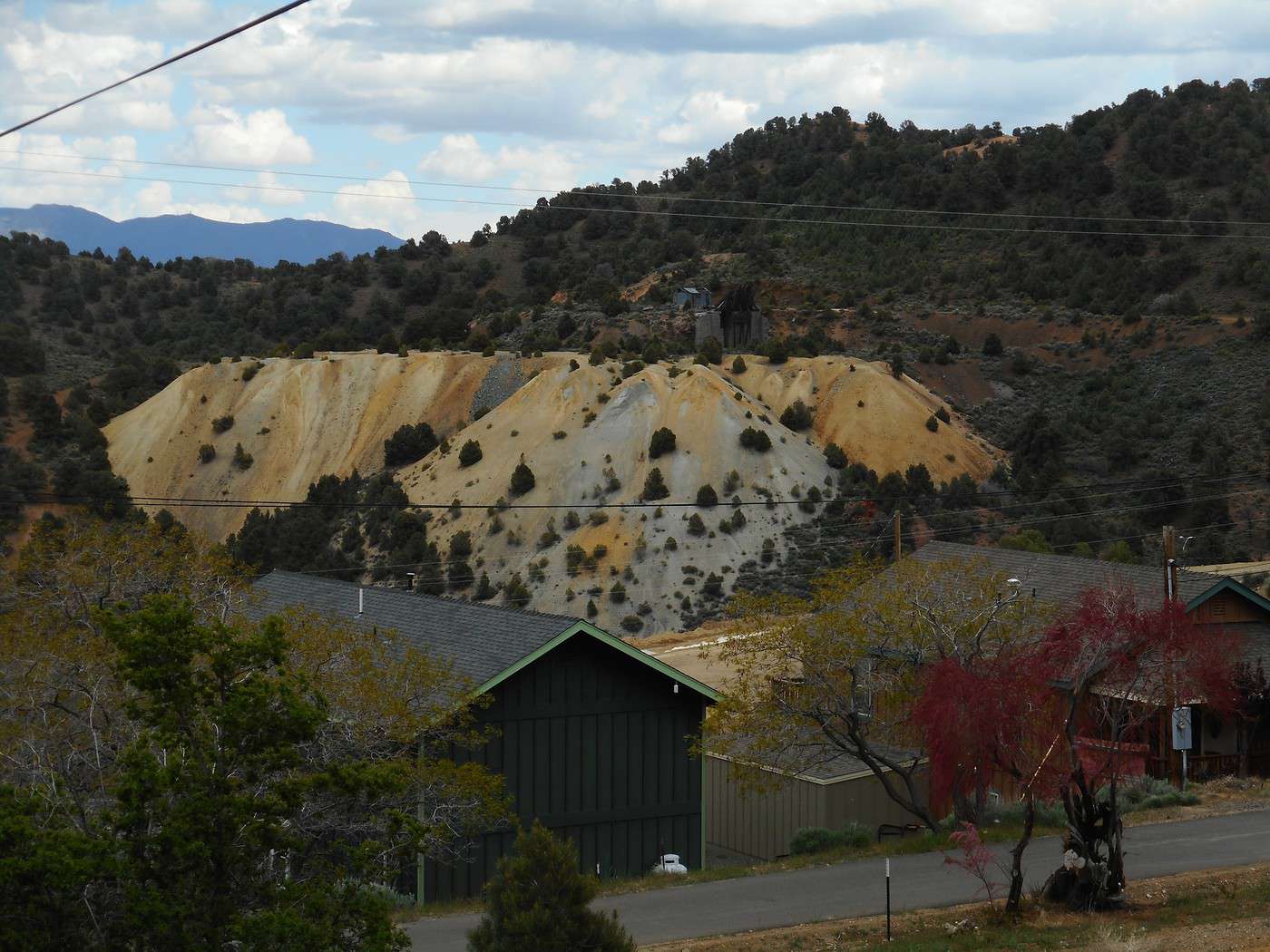
I leave "Cathedral Gorge State Park" and take US-93 north. A little further on, a left turn leads to Pioche (pronounced "pie-ohsh"), and I arrive in this town named after François Pioche (I pronounce it the French way): he was a French financier and businessman who settled in San Francisco. He invested in mining in the late 1860s, and the town immediately boomed, reaching 10,000 residents within a few years. "Treasure Hill," the hill overlooking the town, was the birthplace of mining (you can see the slag on the hillside).


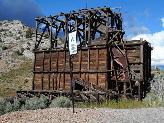
I enter town from the top, near the upper station of the tramway. It dates back to the 1920s and was used to transport ore from the hill down to the processing site below. It operated by gravity (with just a backup motor), with buckets full on the way down and empty on the way up.


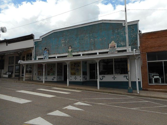
The town isn’t a ghost town—it has about 900 residents and is the county seat (Lincoln County). Main Street still has buildings from the late 19th and early 20th centuries. There are no pedestrians or customers on the sidewalks; here’s the store across from the museum (it looks closed).


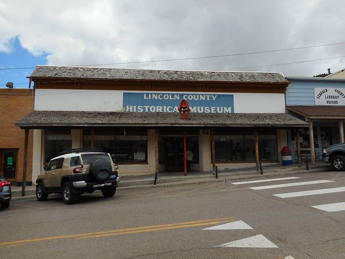
The museum on the other side of the street is open, as is the adjoining public library.


Visiting a local history museum is a must-do experience. The building housing the museum (an old store) was donated to the county by the store’s owner. The collections are the result of donations from residents—one person donated their grandparents’ dining room, another a photo album, and so on. Many items feel more like a garage sale than a museum, and the display is a bit of a jumble (they want to show everything). You’ll find some surprises.


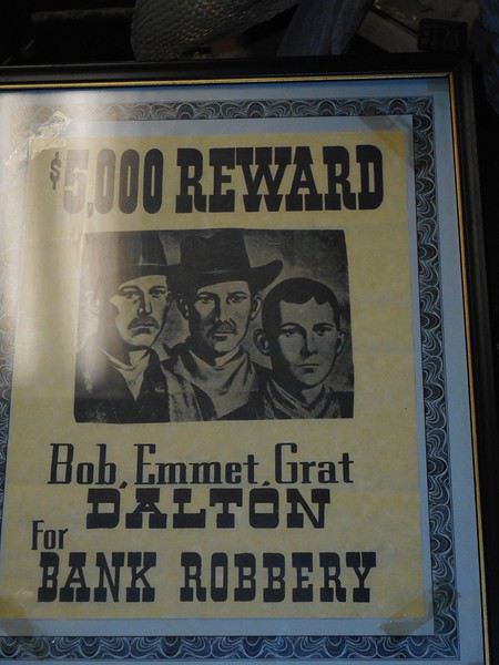
Here, reality inspired fiction—though maybe the locals don’t know it. As for the "Dalton Gang," did they operate nearby? Was this poster found in a neighboring county or state? I don’t know.

In the 1870s, Pioche was known for its violence. Legend has it that 75 people were buried in the cemetery after violent deaths before the streak was broken by a natural death. Quite a record!

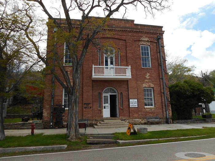
Here’s the old "Lincoln County Courthouse," built in 1871. It’s open for visits. I go inside, and when I reach the second floor, I wake up the guard, who’s fast asleep in a chair at a table, slumped over with his head in his arms.


This building has two quirks: - The street-facing side is the courthouse, but if you go to the back (toward the hill), you’re in the jail. In other words, it was just a few meters from the courtroom to the prison. - The original 1871 plan was supposed to cost $26,400 ($16,400 for the courthouse and $10,000 for the jail). Due to changes, cost overruns, bribes, and loans to cover insolvency, the final cost approached $1,000,000 by the time it was fully paid off in 1937. Today, it’s called "The Million Dollar Courthouse." Construction projects exceeding their budgets happen everywhere, in every era.

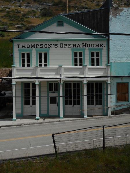
"The Thompson's Opera House," built in 1873 from wood, has been fully restored. Over its history, it’s served as a theater, movie house, and dance hall, among other things.


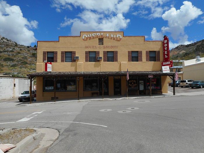
I almost never photograph hotels, but by chance (well, not really—these two hotels are on Pioche’s list of historic buildings), I’ve got two in my Pioche photos (Gilles and Peggy mentioned accommodations). "The Overland Hotel and Saloon," built around 1940, has served as a store and dance hall but is now an open hotel.


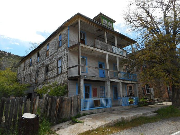
"The Mountain View Hotel" is much older and "historic"—President Herbert Hoover (if I remember correctly) stayed here during his term (1929–1933). It’s been closed for a long time.


Rise and fall.

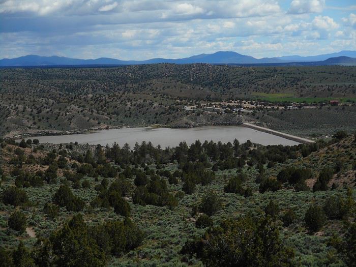
I leave Pioche via Route 322, and 8 km later, I turn right onto the road leading to "Echo Canyon State Park." This road arrives downstream from the dam, built for irrigation on "Meadow Valley Wash" at the exit of "Echo Canyon." Most of the water flowing here disappears into the wash, which heads south for 200 km before reaching "Lake Mead," though apparently, some water occasionally makes it to the lake. There are some lush green areas downstream from the dam—alfalfa fields. The park isn’t spectacular but seems geared toward fishing in the reservoir. The water level is higher than usual, reaching the benches near the picnic tables on the shore. I go for the "Ash Canyon Trail" hike. The trail climbs above the reservoir.


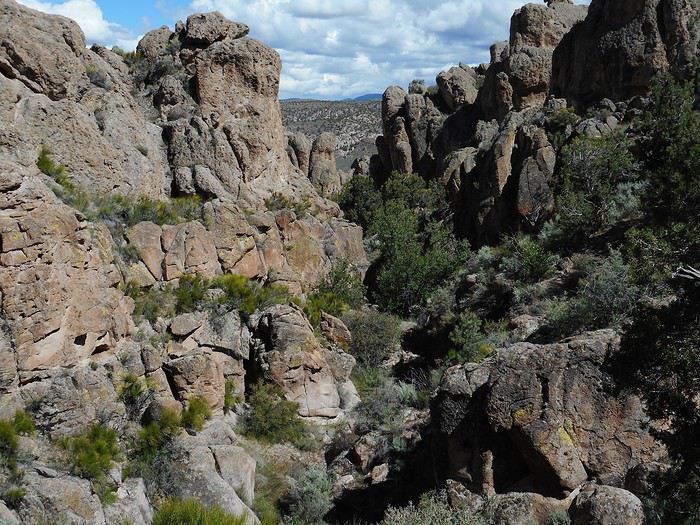
It then follows "Ash Canyon."


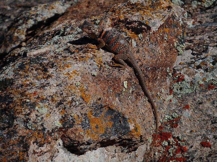
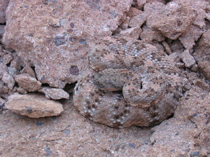
At one point, I stop to look ahead and see where the trail goes, then turn around to check the path I’ve taken over the last 200 meters. It takes me a good 30 seconds. When I turn back around, I see this animal on a rock shaped like a small wall.


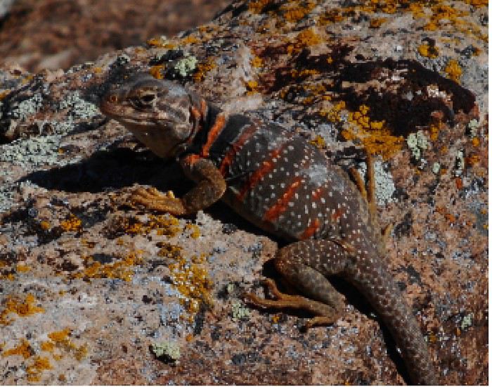
I’m amazed by this lizard’s camouflage (it looks like a lizard to me). I stand there for a full minute, take off my backpack, pull out my camera from a side pocket, and snap the photo. I stay a while longer before moving on (I was there for nearly 5 minutes total). I got as close as about 50 centimeters but didn’t try to touch it. The lizard stayed completely still.


If anyone has any zoology knowledge, could you: 1- Identify this animal 2- Tell me if its appearance changes based on location (camouflage) or not. This one has red bands around its body (not exactly stealthy), yet it blends right into the rock it’s on. 3- Let me know if the behavior I saw (total stillness when someone’s nearby) is typical when you’re not trying to catch it.

I leave the park heading north toward "Ursine" (the name on my maps), but when I get close, the sign says "Eagle Valley"??? A few kilometers north, there’s another park, "Spring Valley State Park," but the road leading to it is closed (flooded). Back to "Cathedral Gorge State Park."
Valmichel86
SN Snakeyes Regular ·
Probably some kind of banded gecko, but I’m no expert at all.
VA Valmichel86 Regular ·
Thanks Fabien, I’ll look for gecko pictures to see if I recognize my critter.
Valmichel86
VA Valmichel86 Regular ·
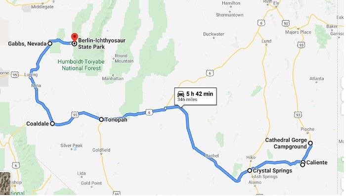
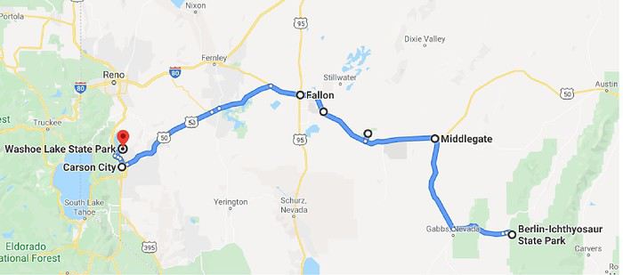
Day 18: Thursday, May 30 (Cathedral Gorge State Park - Berlin-Ichthyosaur State Park) Route


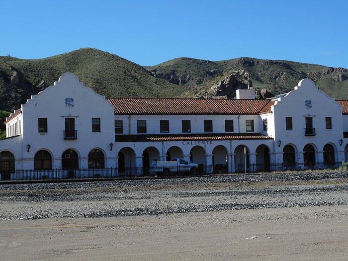
I set off under the sun for Caliente, a nearby small town (around 900 inhabitants). The standout building is the "Union Pacific Railroad Station" (1923), which I photograph from the other side of the tracks. Today, it serves as the town hall, library, and museum.


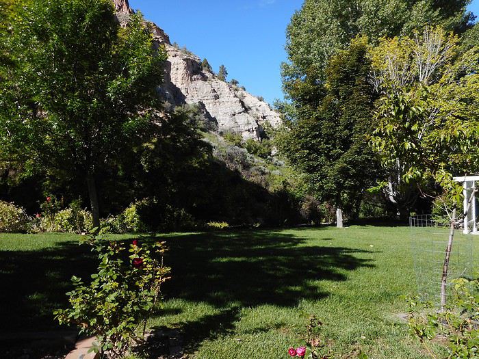
A few kilometers away, I visit "Kershaw-Ryan State Park," located in a small canyon that feels like an oasis—much greener and wooded than the surrounding landscape.


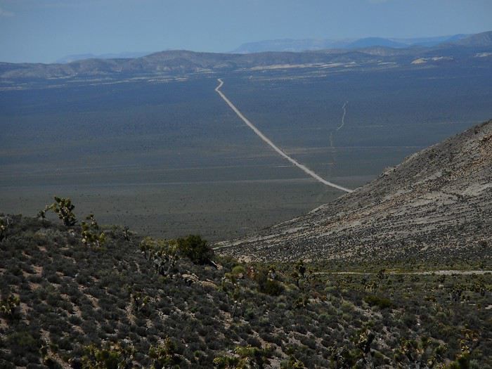
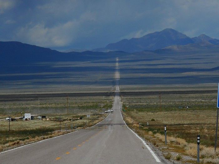
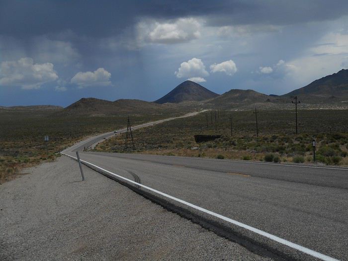
Next, I head toward Tonopah via US-93, then Route 375, and finally US-6. Just after the first small pass of the day (crossing a well-defined range of hills), I think I see the road continuing.


Mistake: it’s a track heading in a different direction toward the next line of hills. The good weather doesn’t last, and the rest of the day follows a repeating cycle: sun, clouds, then a good downpour.


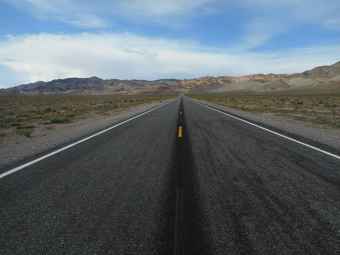
These two photos give a pretty good idea of the landscape and weather until I reach Tonopah.

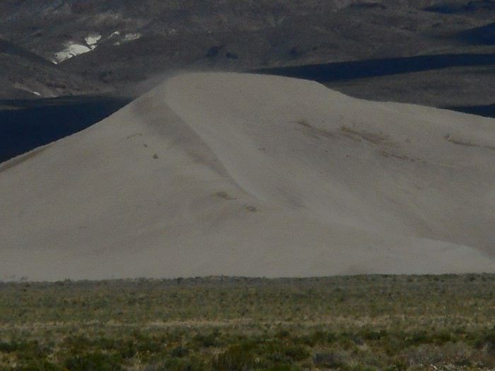
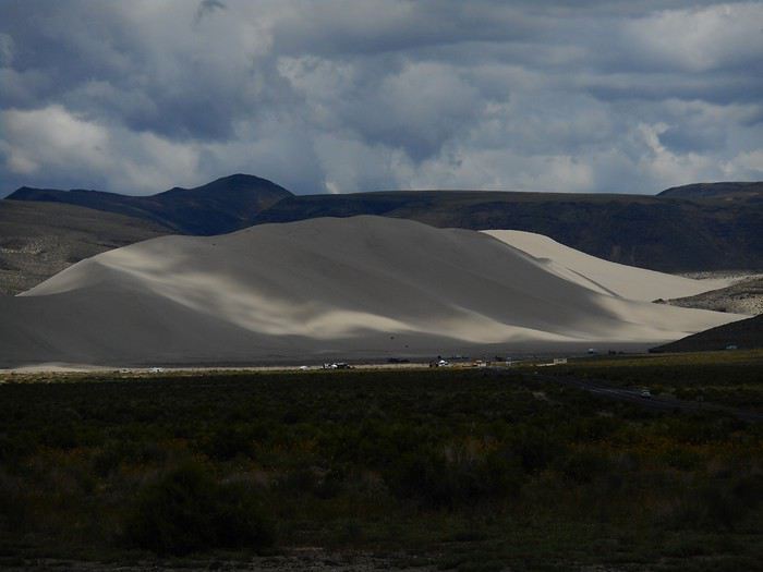
Tonopah on its hill... I don’t visit the mining museum (I’ve read it has a good reputation) because I want to check out the "Crescent Dunes" dune field. I leave Tonopah via US-95, and after 8 km, I turn right onto "Pole Line Road." Fifteen kilometers later, a track on the right leads to the dunes, but the ruts (after recent rains) are so deep that I have to stop. Here’s a photo of "Crescent Dunes" taken about 2 km from the site.



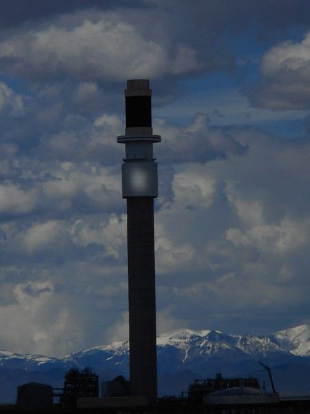
Just to the north (a few hundred meters for the closest part) is the "Crescent Dunes Solar Energy Project," designed to produce electricity from solar power (maximum capacity of 110 megawatts). Over 10,000 mirrors track the sun (heliostats) and reflect solar radiation toward a central tower. The electricity is generated at high temperatures (I’m not sure by what process), and there’s an energy storage system using a phase-change material (a salt that changes state at high temperatures). Here’s the tower as seen from the track leading to "Crescent Dunes."


This project started producing electricity in 2015 but stopped in April 2019. It was a failure that swallowed up huge sums of money. I don’t know what’s become of the facilities now.

I head back to "Pole Line Road." From there, continuing northwest, the road turns into a track leading to Gabbs. It’s much shorter, but it’s a dirt road, and given the weather of the past few days, I’m not sure what to expect. So I choose the longer route (on pavement). I return near Tonopah to take US-95 (Veterans Memorial Highway) west. Coaldale appears on maps, but there’s nothing left alive there: an abandoned gas station and bar, plus some gutted concrete blocks (or lighter material) nearby. That’s it. Just after, when US-95 turns north, look carefully to the southwest. The horizon is dominated by the "Boundary Peak" range (4,003 meters, the highest point in Nevada and the California border), which is impressive.


Sixty kilometers after Coaldale, I turn right onto Route 361 toward Gabbs.


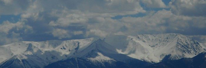
Just past Gabbs, a road turns right (east). It crosses a range of hills, then descends into "Ione Valley." In the distance, the "Shoshone Mountains" and "Toiyabe Range" are completely snow-covered (summits around 3,500 meters). The road turns into a track and arrives at Berlin. I drive through the "Ghost Town," then 2 km later, head into "Union Canyon." A fork leads to the campsite. It’s chilly at 2,100 meters, and just before nightfall, it starts raining. This was the day I covered the most kilometers. I crossed part of Nevada, which really shows how empty most of the state is—Tonopah barely reaches 2,500 inhabitants, and Gabbs, about 30 km from here, has just 250 residents.
Valmichel86
CO Cochize Globetrotter ·
Hi there,

I followed your Nevada section with particular interest and was waiting for you to reach Tonopah to chime in...
Pioche... Tonopah... Now *that’s* off the beaten path, and in my opinion, it’s a fantastic way to understand the real Nevada—the state that remains the metal-mining capital of the United States, producing around 80% of America’s 250–260 tons of gold, which keeps the country fluctuating between third and fourth place globally. The Pioche district itself is primarily silver. Nevada alone would rank the U.S. fourth in global production.

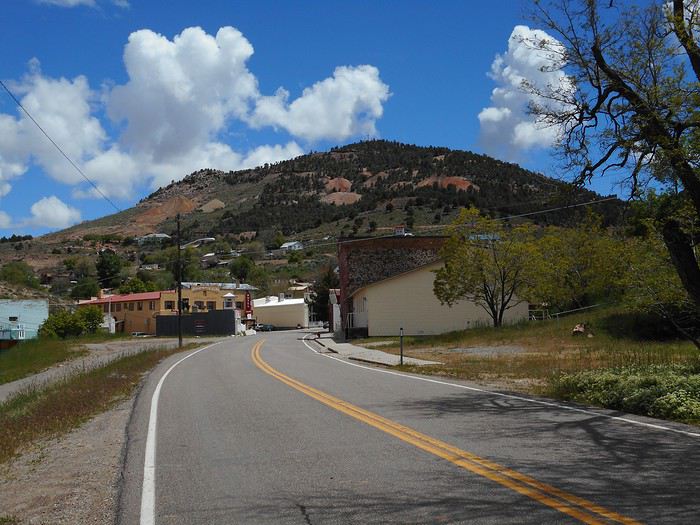
Yet Nevada is the Silver State, while California is the Golden State... but that’s the legacy of a tumultuous and divergent past!

I thoroughly enjoyed exploring this Western state in a past life—maybe more than others—where traces, sometimes scars, of old mining operations are scattered everywhere. They’re a stronger testament than anywhere else that cattle ranching and mining were(indeed)instrumental in the nineteenth century in getting people to settle here.

Pioche is a pretty typical case...

It emerged during the wave of major discoveries in the Sierra Nevada, sparked by California’s 1849 Gold Rush, followed by Nevada’s 1859 Silver Rush. A flurry of new finds turned Nevada into the Silver State, as prospectors and their burros spread east from the Sierra Nevada and, to a lesser extent, west from Utah.

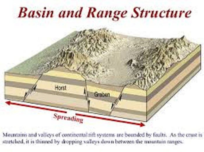
To understand, here’s a bit of iconography:

All of Nevada is structured around the Basin and Range geological province...


An alternating pattern of mountain ranges (*range*) and flat depressions (*basin*), which hold cultivated valleys and dried-up salt lakes—usually barren and strangely called *playas* in Spanish. For prospectors, playas were useless; they had to cross them as quickly as possible. The sun beat down hard, there was nothing to drink, and you could dehydrate (Hollywood imagery!). Today, it’s a bit different because these playas can contain lithium, which is increasingly useful as demand for electric car batteries grows.

You can really see this alternation when driving east to west!

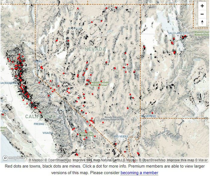
The interactive map—red dots for “mining towns,” black dots for “mines”— Mines page

sums up Nevada’s mining history from the 19th to early 20th century. Here’s a screenshot:


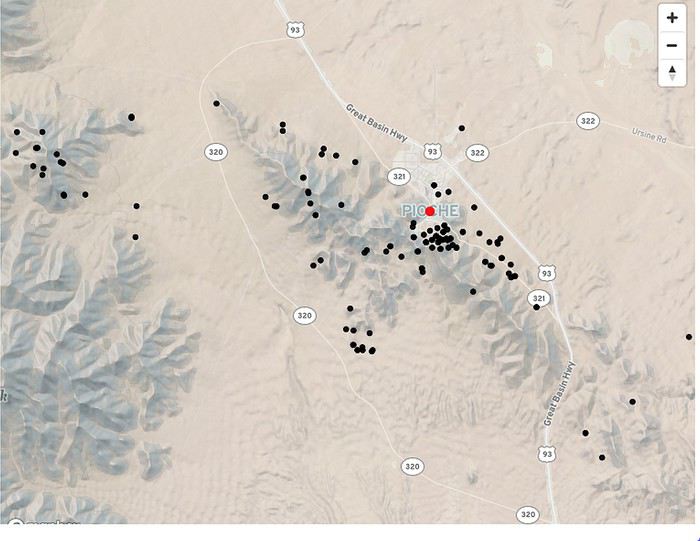
Lured by the ease of exploiting early Sierra discoveries in 1859—basically, mining Horn Silver, all you needed was a pick, a shovel, and a wheelbarrow (roughly speaking)—prospectors methodically explored every *range*, one after another. When a search paid off, a town replaced the canvas camps and hillside shacks, settling at the foot of the *range* for an uncertain duration. Most became ghost towns, but Pioche survived, and its location at the base of the hills reflects its origins.


“Pioche silver, known to the Paiute Indians for a long time” (a pronunciation exercise, by the way!), was revealed to a Mormon who brought the discovery to the modern world around 1864. Production began in 1869.

In the meantime, François Pioche entered the picture...

He’s one of those fascinating figures the 1849 Gold Rush produced.

Drawn to San Francisco like many adventurers, he wasn’t one of those who broke their backs in the Sierra chasing an uncertain fortune. At the start of the saga, in San Francisco, almost everything was still paid for in gold, and everything cost a small fortune—food, lodging, equipment, etc. So early on, he was among those who chose “to mine the miners rather than the hills”—taking gold straight from the miners’ pockets. It was less risky and... more comfortable! And that’s how lasting fortunes were built...

That’s how John Studebaker started making wheelbarrows (an essential tool for miners) before founding his car company.

That’s how Levi Straussnever managed to sell his stock of wagon canvas from the East and came up with the idea of turning it into blue jeans. The miners themselves had given him the idea—they were unhappy with how quickly their pants wore out in the Sierra’s harsh conditions and had tried using Levi’s canvas. Turns out, Levi Strauss’s jeans were incredibly durable!

François Pioche set himself up as a wine merchant, importing French wines around Cape Horn and selling them... for a fortune, of course! He later became a banker with an English partner, and their bank ranked among California’s top institutions for at least two decades. He then returned to Paris, where he raised several million francs, allowing him to move up a level and invest in railroads and mining—like in the new Pioche district.

It was... WHEN CALIFORNIA WAS FRENCH.

...

P.S. Incidentally, about the pronunciation—have you really heard locals say it the way you mentioned?

If the syllable “pi” (like the Greek letter, 3.14116) is pronounced “pie” as in “pie,” locals, as far as I remember, pronounce the pi in Pioche roughly like we do—that is, “pee” in English phonetics. So the full name doesn’t sound all that different from how we say it.

About the Western banded gecko: Its Latin name, Coleonyx variegatus, is more telling.

That said, I think some geckos can rapidly change their colors or shift hues with age, but it seems to me that the Western banded gecko’s colors mostly result from permanent adaptation to their environment—like certain rattlesnakes, which are their predators. Especially this one, which thrives in rocky environments!

A Rattlesnake Rattles Loudly. Stock Videos (100 ...

Or this one, which lives in the El Dorado Mountains near Las Vegas on volcanic rocks (Xavier Glaudas):

Suite des "Rencontres insolites avec des grizzlys, chercheurs d'or et autres dans l'Ouest Américain"   (26 février 2009)
MA Marati Globetrotter ·
Hi Jean-Paul, Thanks for your fascinating talk on mining towns and the clever folks who sniffed out the real motherlode! From now on, I’ll always try to locate a ghost town on a topographic or satellite layer in Maps or GEarth to check if the "Basin & Range structure" holds up.
VA Valmichel86 Regular ·
Hi Jean-Paul, thanks for your post. My first thought is about the "basin and range" structure you mentioned and described perfectly with the diagram—I didn’t know the name for this structure. The Caliente-Tonopah route is the perfect example of it: a succession of "basins" and "ranges" over about 300 km. In the end, my three photos really illustrate what you’re explaining.
Valmichel86
DI Diamina Globetrotter ·
Hey Cochise,

You’re truly a walking encyclopedia—every one of your posts is a gem worth keeping. Thanks! 😇
Nord Chili, NOA, Sud Lipez, La Paz août 2012 https://voyageforum.com/forum/mois_dans_andes_peripeties_en_altitude_D5526293/ Apologie du southwest en hiver https://voyageforum.com/forum/apologie_sud-ouest_etats-unis_en_hiver_D5851267/ Impressions d'Afrique et de Namibie
VA Valmichel86 Regular ·
Good evening Jean-Paul, regarding the pronunciation of Pioche, I heard the name pronounced twice by locals. 1 - by the hostess at the "Visitor Center" of "Cathedral Gorge State Park." I asked her: how do you pronounce Pioche? In her answer, I heard "paille," which means "pie" in English. I replied: Ah! Like "apple pie" (English). Back home, the word "pioche" exists and refers to a tool. She then told me: but this name is French, and she mentioned François Pioche. 2 - at the museum exit by someone who arrived while I was visiting (likely a member of the local historical society). Your comment makes me try to remember: I think she pronounced it "pee-oach." I just checked the town’s website, which says to pronounce it "pee-oach." I wrote this thinking about my conversation with the Visitor Center hostess; I gave the wrong pronunciation: either she mispronounced it, or I misheard and she didn’t correct me afterward.
Valmichel86
VA Valmichel86 Regular ·
Day 19: Friday, May 31 (Berlin-Ichthyosaur State Park - Washoe Lake State Park near Carson City)

Route


The rain didn’t last long during the night, but the temperature dropped to 5°C and it’s still very chilly this morning. In Berlin-Ichthyosaur State Park, there’s Berlin and there’s Ichthyosaur.

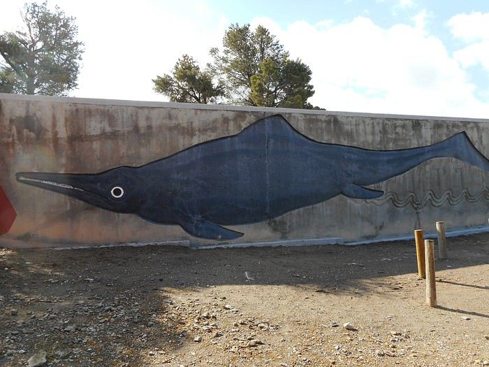
Ichthyosaur: A marine reptile that lived 225 million years ago. Fossils of this species were found in "Union Canyon." The "Fossil House," a large building that protects the site from the elements and visitors, was constructed. The walls have windows through which you can look, but there’s nothing interesting to see. You have to rely on guided tours to enter the shelter. The scheduled tour starts in the middle of the morning, but I skip it (bummer) because it would mean leaving after noon.


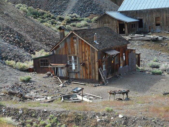
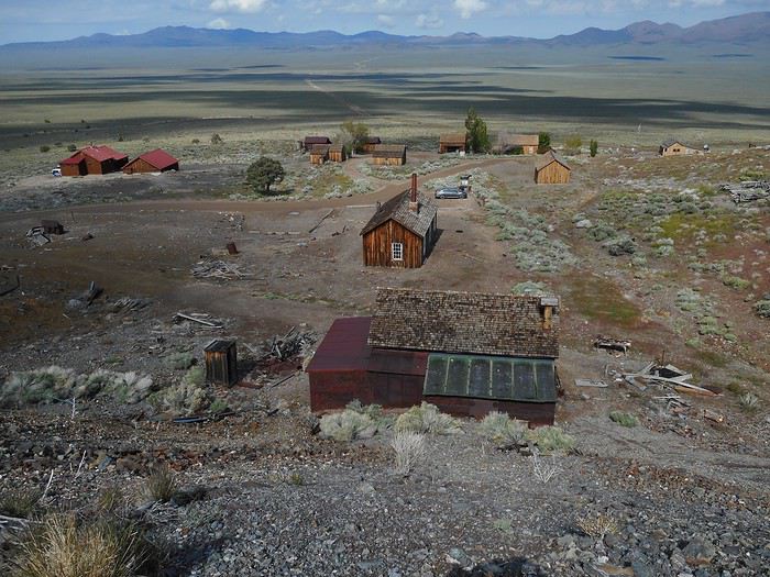
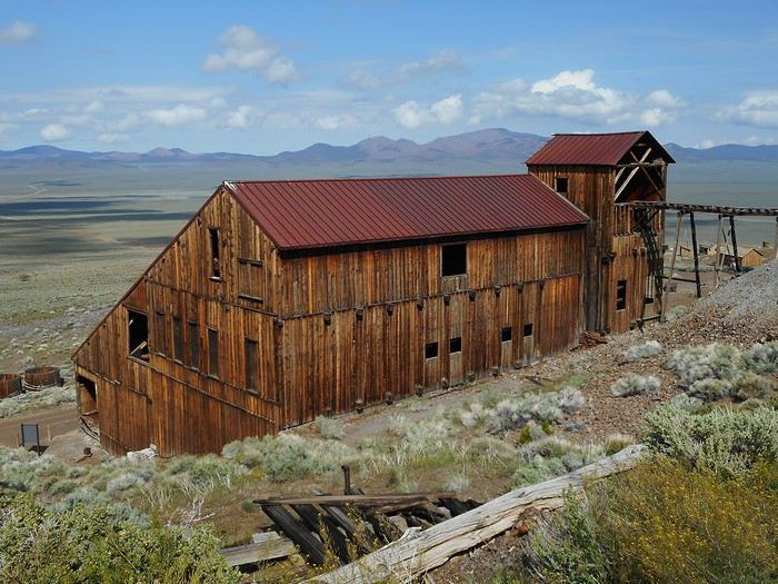
Berlin: A "Ghost Town" on the site of a silver mine. As part of a state park, this town is protected under a method called "Arrested Decay." The buildings are left as they are, and interventions are only meant to prevent further deterioration, not to improve the ruins. Is there a term for this method in French? The first prospecting efforts (Union Canyon, Ione, Grantsville) date back to the 1860s. The Berlin mine itself became fully operational in 1895 and continued until 1907 before declining rapidly. Notable features: - The town never had more than 200 to 250 residents. - There was no saloon in Berlin. The "Nevada Company" owned the only store, where prices were high and alcohol wasn’t sold. That’s why many miners went to Ione for supplies. - There was a school in "Union Canyon." I take the walk called "Berlin Town Site Loop."


The entrance to the mine. The "Berlin mine" and the nearby "Diana mine" together have several kilometers of tunnels.


A general view of the "residential" area.


The mill (ore-crushing plant).


For these last two photos, I’m on the lower slopes of the "Shoshone Mountains" (range). In front of me is "Ione Valley" (basin), and in the distance, I can see the "Paradise Range" (range). Gabbs is just behind that ridge. I’ve added scientific details to my photos thanks to Cochize.

I’ll head back in that direction almost to Gabbs. Highway 361 takes me to Middlegate, where I turn left onto US-50 toward Fallon. I still have two more ridges (ranges) to cross before reaching a much flatter area. Before entering this region, there’s the "Sand Dunes Recreation Area," where a set of sand dunes serves as a playground for off-road vehicle drivers.


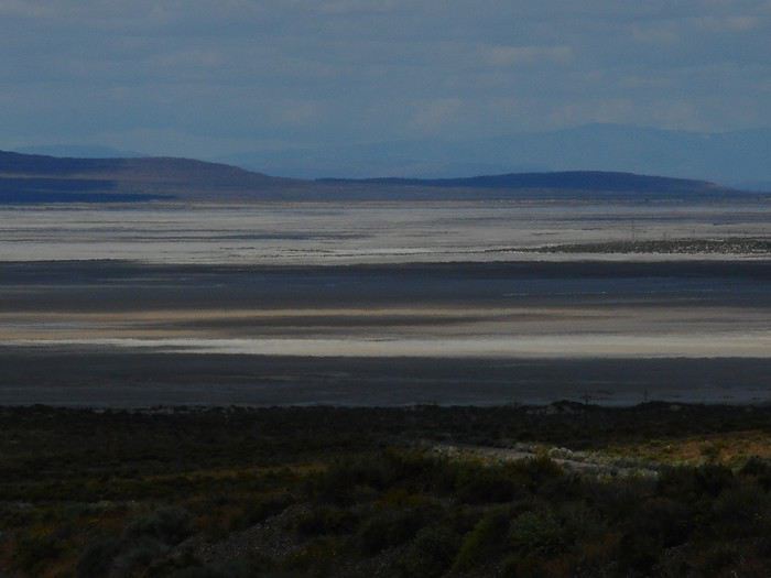
The vast, flat expanse of the "Carson Desert."


The Great Basin Except for a southern region drained by the "Colorado River" and a northeastern region drained by the "Snake River," the state of Nevada is part of the "Great Basin." Water here doesn’t flow to the ocean but instead collects in low points, often forming lakes (permanent, temporary, or even dried up). The most important rivers are those flowing down from the "Sierra Nevada" (to the west) and heading east.

The "Carson River" is one of these major rivers. It flows into "Carson Sink," part of this expanse, northeast of Fallon.

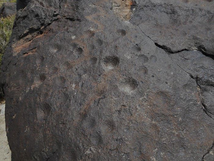
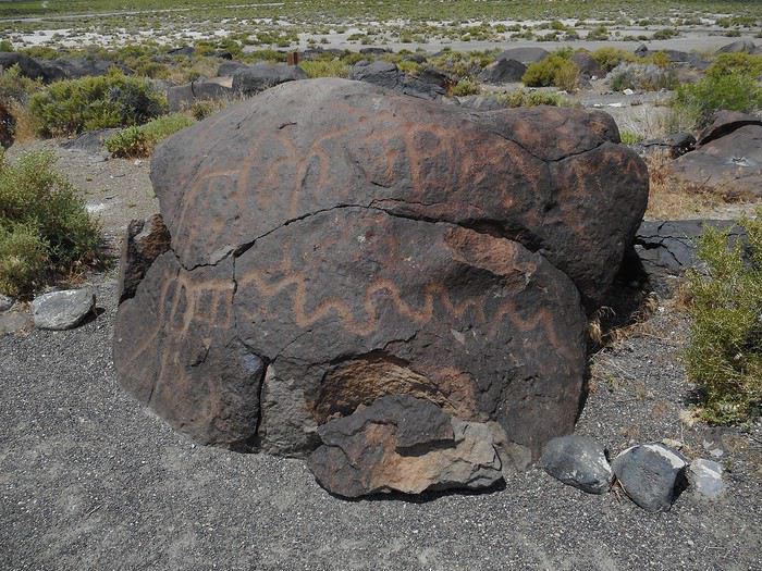
A few kilometers before Fallon, the "Grimes Point Archaeological Area" is a site managed by the BLM (Bureau of Land Management). In the publicly accessible part of the archaeological site, a short walk (500 meters to a kilometer) is set up. I pass by basalt boulders covered in a black patina, which serve as the canvas for petroglyphs. Some petroglyphs are cupules: hemispheres or partial spheres carved into the rock, intentionally created by humans using percussion techniques.


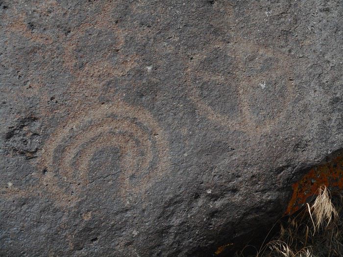
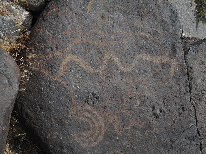
The other petroglyphs are more "classic," with symbolic and/or magical meanings. On this site, all were created by removing material from the basalt boulders.


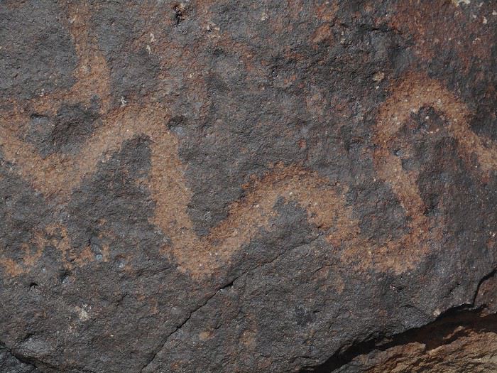
The last photo (a close-up of a design) clearly shows the material removal.

I drive through Fallon and continue to Carson City. I head toward Reno, go up a few kilometers, then turn right (Highway 428, which loops around "Washoe Lake" to the east). The "State Park" with its campground (50 sites split into two loops of 25) isn’t far. One loop is under construction, reducing capacity to 25 sites. Rangers direct the few extra people (2 to 4 setups each night) to a "horse camping" area located 100 meters from the open loop—a campground meant for visitors bringing their horses for trail riding. I’ll stay here for several nights. The shores of "Washoe Lake" are known for being windy, but that won’t be an issue during my stay.

I head back into Carson City for a walk and some errands.
Valmichel86
VA Valmichel86 Regular ·
Day 20: Saturday, June 1 Itinerary.


Today, like the following days, I’m staying based at "Washoe Lake State Park" and exploring the area.

A bit of demographics Nevada’s population: 2.8 million in 2013 (estimated at 3 million today). Breakdown: Las Vegas-Henderson area 72%, Carson City-Reno-Sparks-Fernley area 20–21% (with 2% for Carson City). The rest of the state: 7–8%. This situation is unusual enough to be worth noting. One metro area, with nearly three-quarters of the population, that isn’t the capital, a settlement zone (at the foot of the Sierra Nevada) with 20% of the population, and the rest of the state almost empty.

A bit of history The first permanent white settlement (Indigenous tribes have been here for millennia) at the foot of the Sierra Nevada dates back to 1851: Mormon Station (Genoa) in an ideal spot for agriculture. Dayton also claims a settlement around that time, linked to the discovery of gold. Settlements continued through the 1850s, but the rush came in 1859 with the exploitation of the "Comstock Lode," the largest silver deposit ever discovered in the U.S. (there was also gold). A year later, there were about 10,000 miners on the "Comstock Lode." At that time, there must have been a farm on the site of Las Vegas. It was around this time that Nevada became a territory (1861) and then a state (1864). So it made sense for the political capital to be here, on the eastern side of the Sierra Nevada: Carson City (probably one of the smallest state capitals, with about 50,000 residents).

I see a few public buildings.

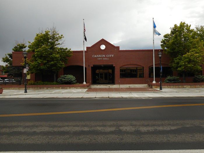
Carson City Hall.


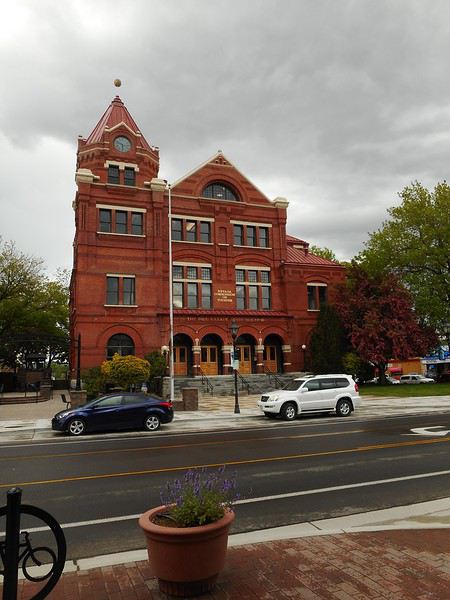
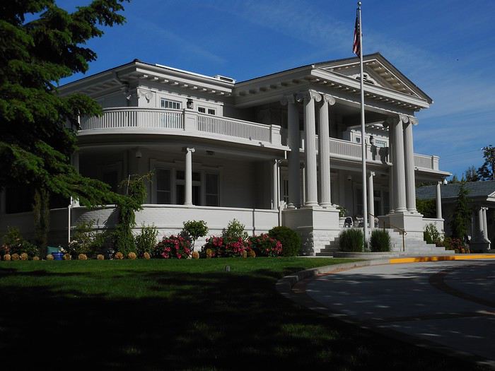
The "Paul Laxalt State Building" (1891). Today, it houses the state’s tourism office.


I’m visiting the "Nevada State Museum."


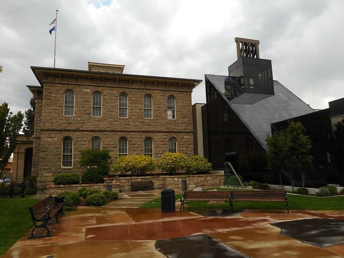
It’s housed in the old mint (the building in the background). It’s expanded, and the glass section connects several buildings. Three things stood out during my visit: 1. A mammoth skeleton 2. A mine replica 3. A coin-striking machine and a collection of coins. Over $49 million in gold and silver coins were minted here between 1870 and 1893.

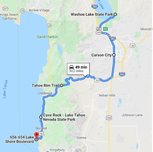
In the afternoon, I head toward Lake Tahoe. The road crosses the "Carson Range," the mountain chain east of the lake, and I stop at the pass. A hiking trail, the "Tahoe Rim Trail," passes through here—it circles the lake, staying on the surrounding peaks. I’m doing part of the "Spooner Loop Trail," which goes around "Spooner Lake" (all part of "Spooner Lake State Park").


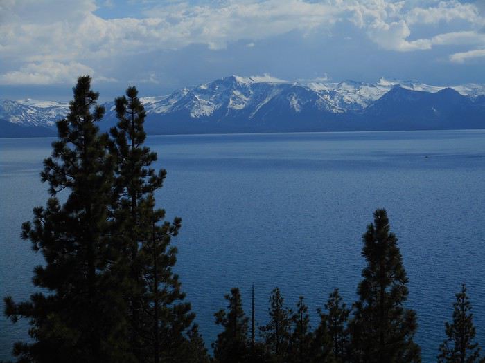
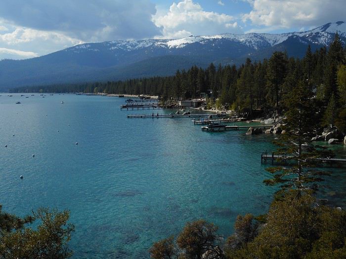
On the descent from the pass toward the lake, it doesn’t take long before the lake comes into view (I stop as soon as I can).


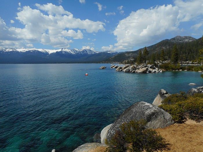
View toward the southwest (the California side).

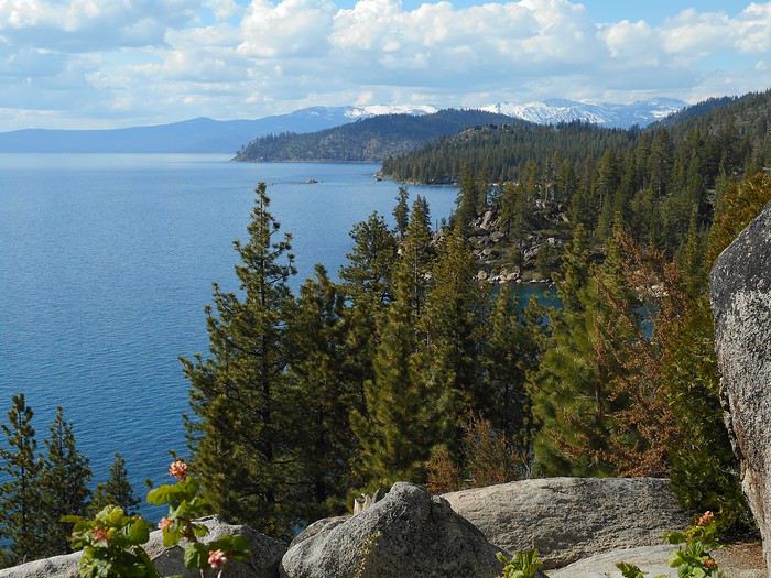
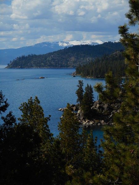
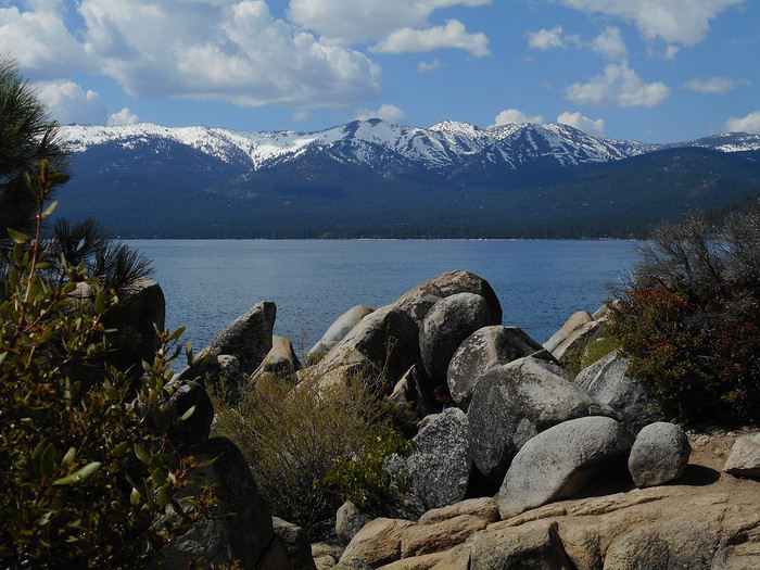
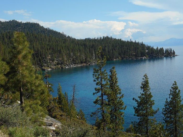
I’m struck by the size of the lake, by the fact that it’s entirely surrounded by snow-capped peaks (snow appears just a few hundred meters above the lake’s level). The atmosphere is mild and even warm, with lots of light and sunshine. Distant clouds give an impression of storms in some areas. I stop a little farther on to look at the Nevada shore. View toward the north.


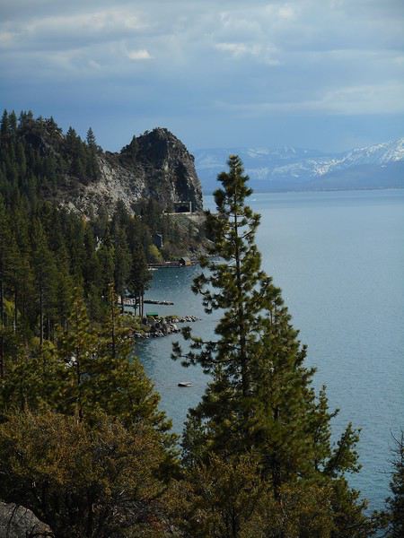
View toward the south ("Cave Rock").


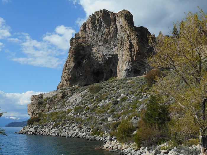
The next stop is "Cave Rock State Park." Near the parking lot and boat launch, there’s a view of "Cave Rock," a volcanic rock formation dating back 3 million years.


This place is sacred to the Washoe people (the tribe that lives in the Lake Tahoe region). The construction of US-50, its widening, and the creation of a tunnel were points of conflict with them. A plaque has been installed with the following inscription: "Cave Rock is one of our famous sacred sites that reflects our traditional values of respect for the land and 'da ow' (Lake Tahoe), the water of life, the center of the Washoe world."

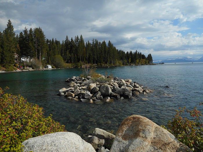
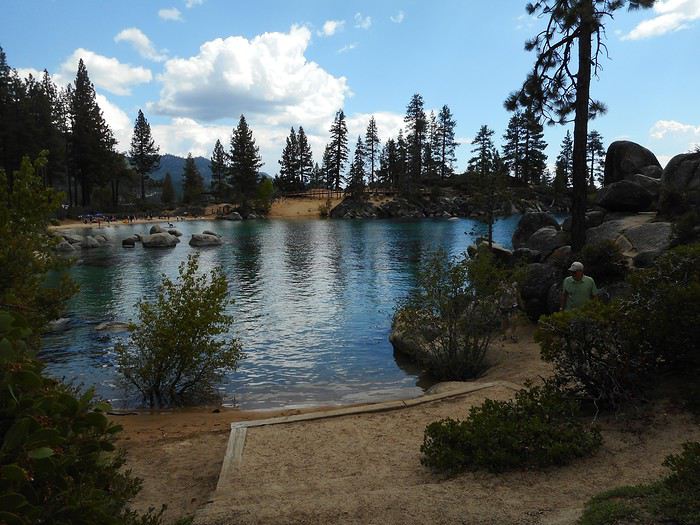
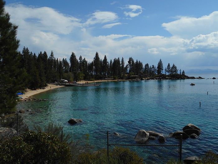
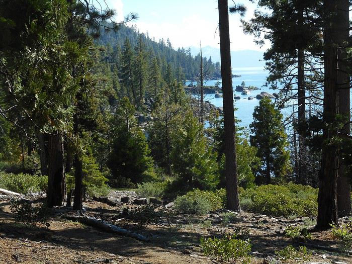
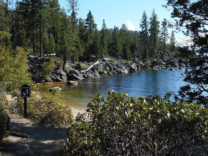
The southern part of the park is a pretty bay lined with fir trees and a small beach.


I go a little farther, to "Zephyr Cove," just a few kilometers from California. Back to Carson City and "Washoe Lake State Park."
Valmichel86
VA Valmichel86 Regular ·
Day 21: Sunday, June 2

Route


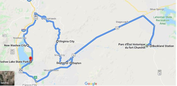
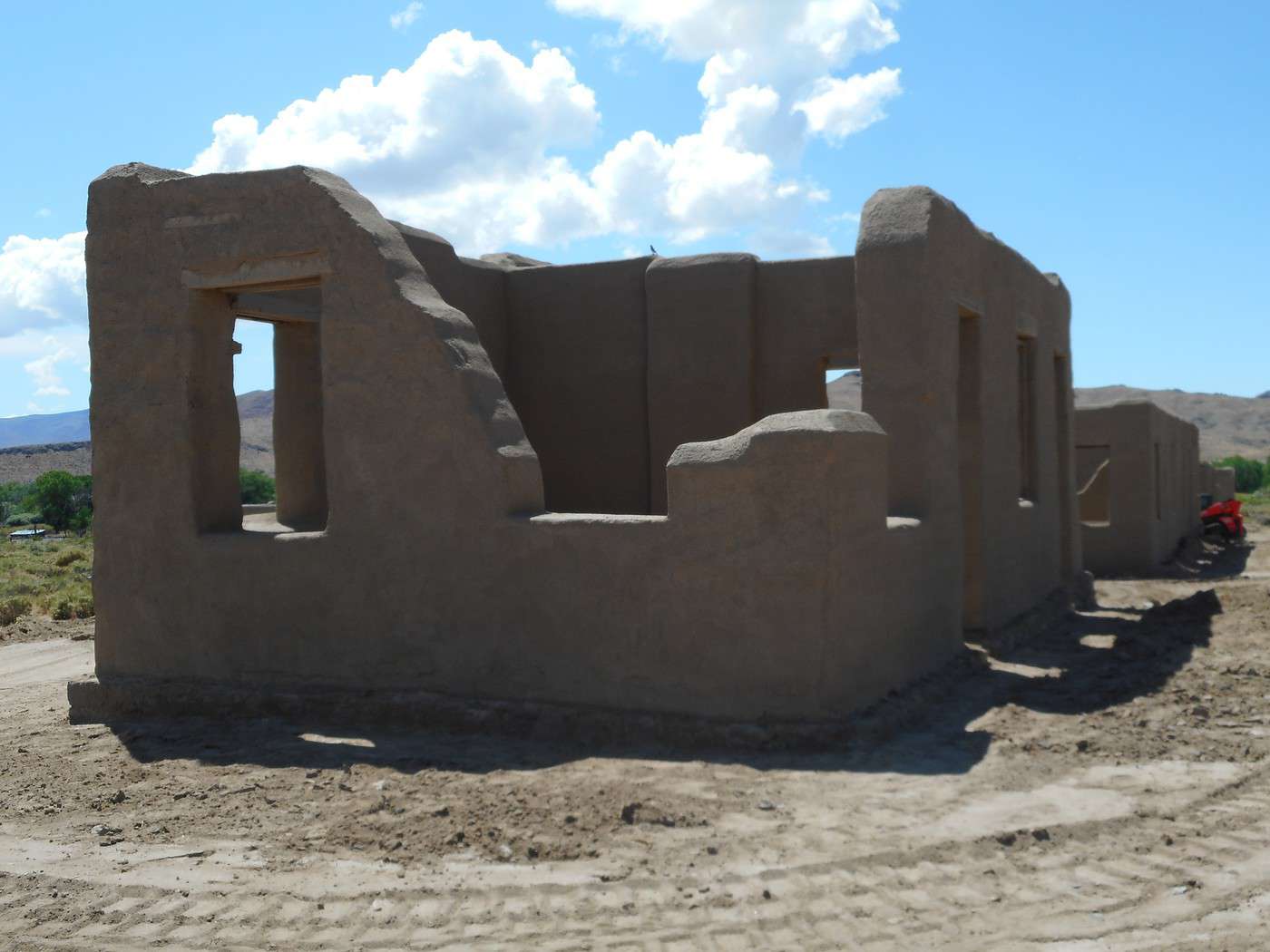
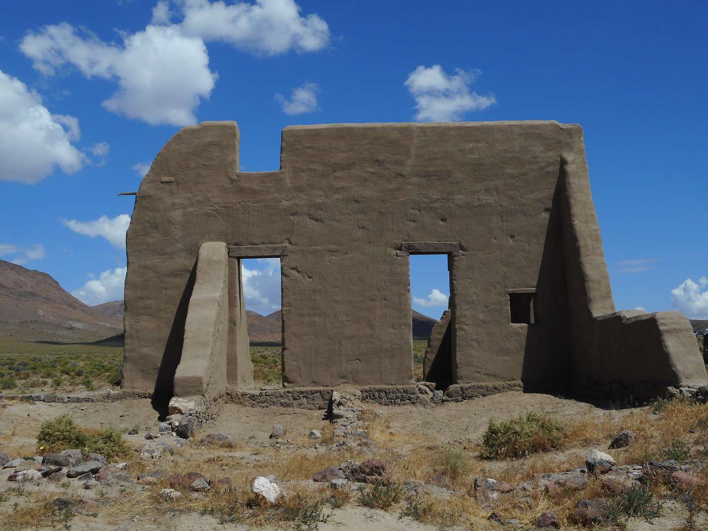
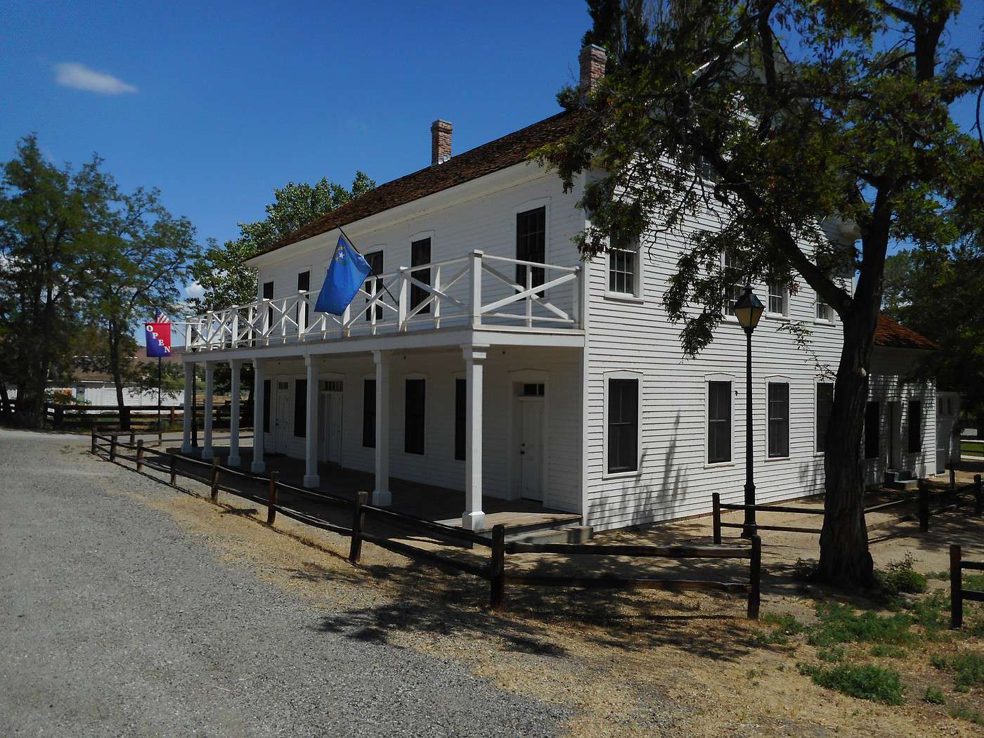
I head to Carson City, then head east on US50 (toward Fallon) to Silver Springs; the "ALT US95" road on the right leads to "Fort Churchill State Historic Park." Stopping by the "Visitor Center" gives me an idea of the context in which this fort was built.

Valmichel86
BE Bertoni Regular ·
Thanks for this really interesting and detailed account that introduces us to states less traveled by tourists in a hurry. It's great that you're sharing this with us.
brigitte
VA Valmichel86 Regular ·
Day 22: Monday, June 3 (Carson City and Lake Tahoe)

Route.


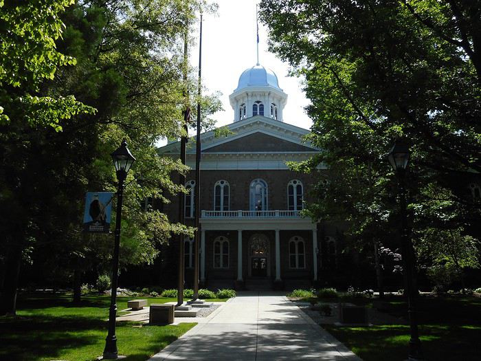
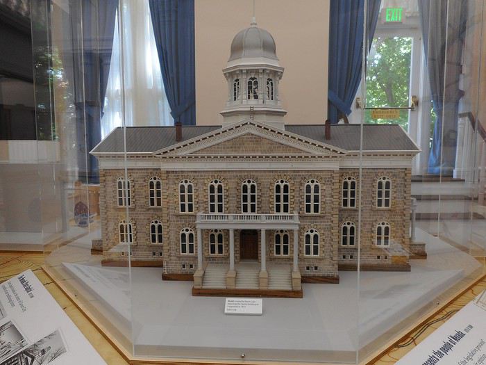
I start by visiting the "Nevada State Capitol." The building was constructed in 1870-1871 in downtown Carson City. Remodeled several times, it no longer houses the House of Representatives and the Senate, which were moved to another building. The Capitol today.


The Capitol in 1871 (model).


This model is located in "Battle Born Hall" (the former Senate chamber), where there’s an exhibit on Nevada’s history.

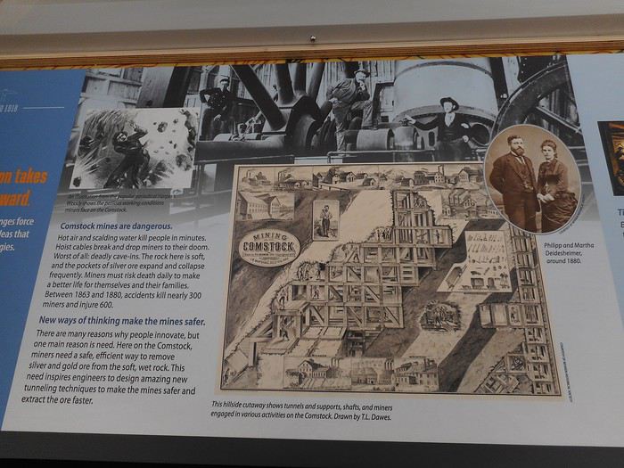
You’ll find a panel about the "Comstock Lode": the mine went down to 900 meters deep, the silver ore was very brittle, and a German-born engineer, Philip Deidesheimer, invented the "square-set timbering" technique.


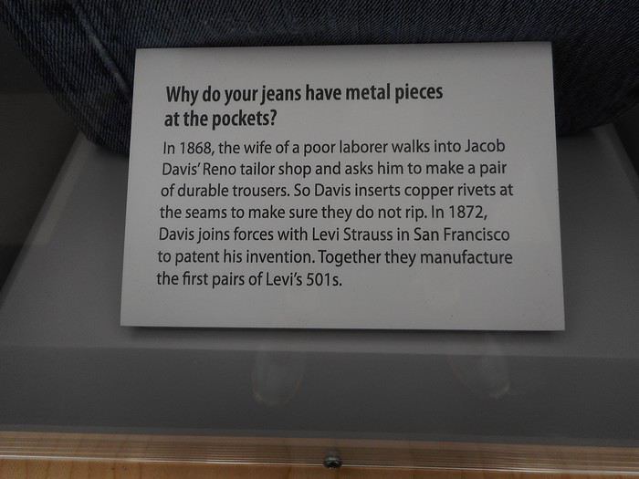
A fun fact about jeans.


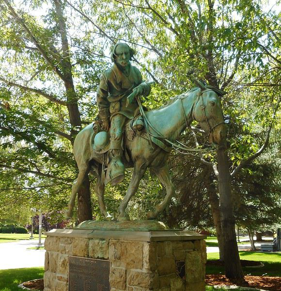
Another fun fact: in 1864 (for Nevada’s admission to the Union), the state’s constitution was telegraphed to President Abraham Lincoln. It’s said to be the longest text ever sent by telegraph. I read this on-site (maybe at the Capitol), but I haven’t found confirmation. In the adjoining park, there’s a statue of Kit Carson, a figure of the American West. He was a trapper, a guide for John C. Frémont on the three expeditions he led in the West, and more...


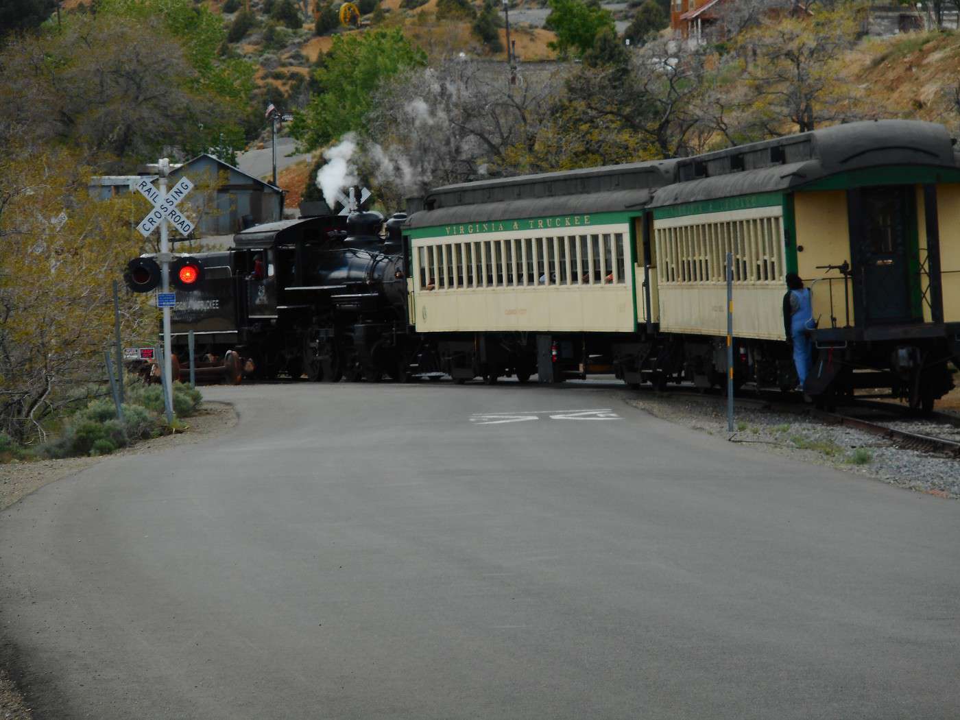
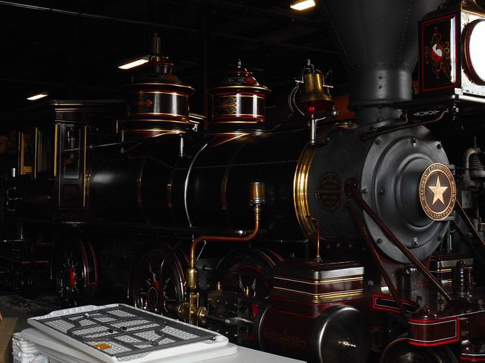
Next, I head to the "Nevada State Railroad Museum." This railway museum features a collection of locomotives and train cars.


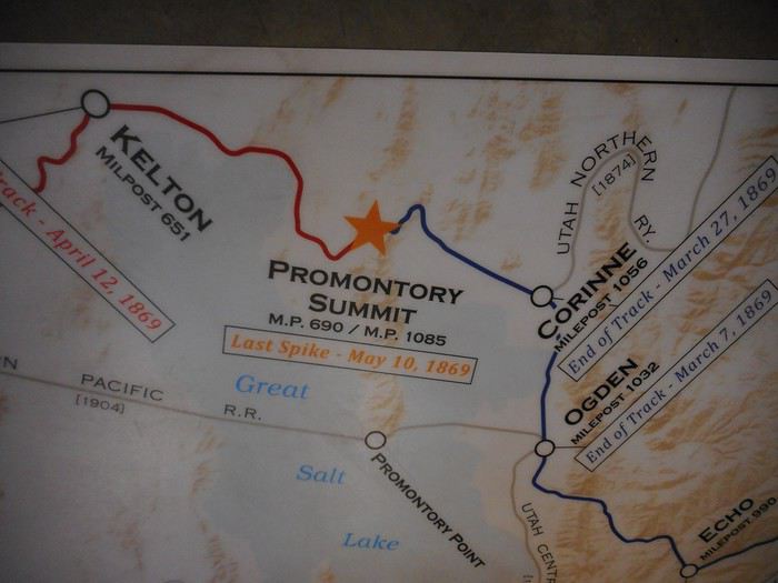
The locomotives, mostly in black, are displayed in a hangar. Taking photos is tricky (it’s too dark). You can also follow the story of the first transcontinental railroad, illustrated on the floor. The "Central Pacific Railroad" started in Sacramento (California) in October 1863. The "Union Pacific Railroad" began in Omaha (Nebraska) in July 1865. The "golden spike" was driven at "Promontory Summit" (Utah) in May 1869, completing the railroad across the continent.


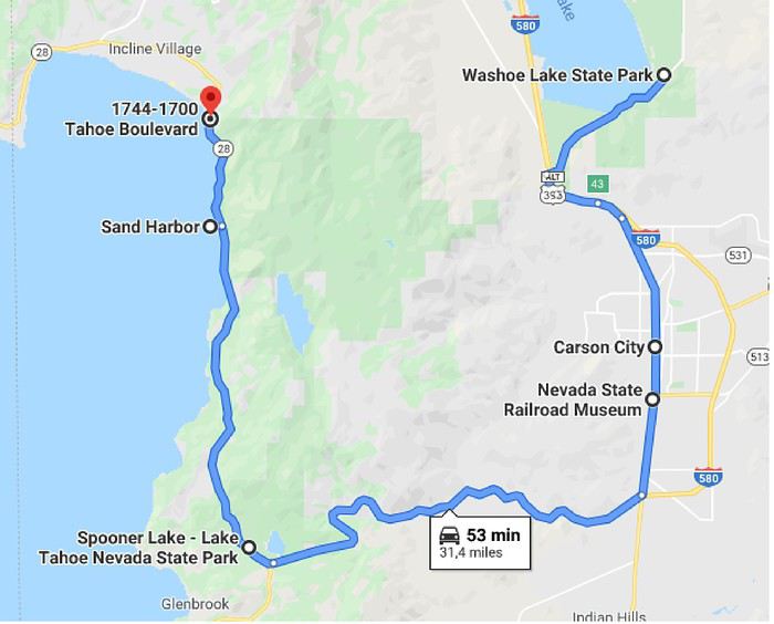
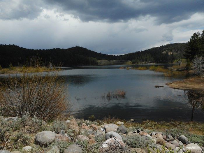
I leave Carson City and head toward Lake Tahoe. After the pass (Spooner Summit), I turn right (Route 28) and stop almost immediately at "Spooner Lake State Park." I end up near the lake, opposite the side where I took a short hike the day before yesterday.


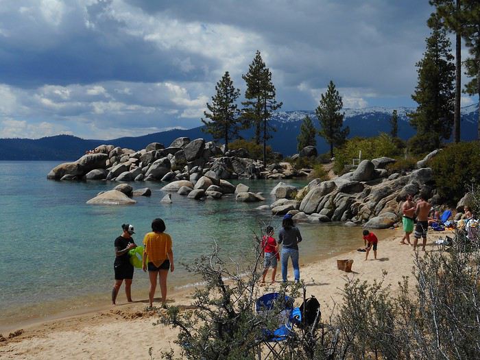
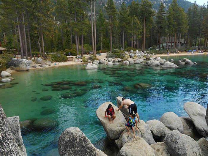
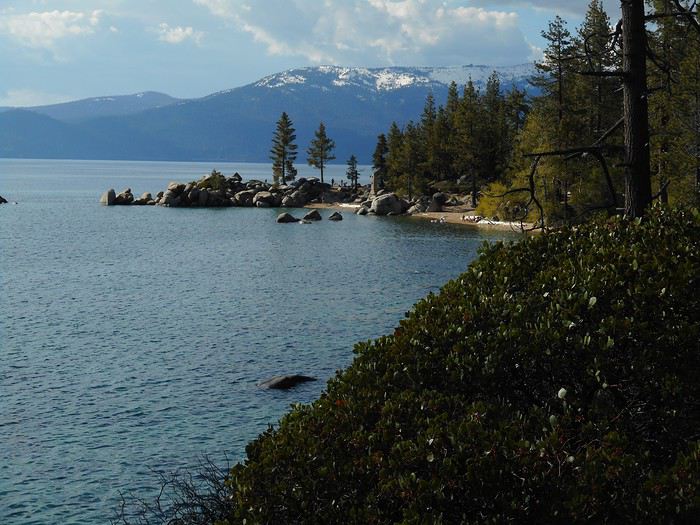
Route 28 gradually descends until it reaches the lakeshore at "Sand Harbor State Park." I park in the lot and walk around this spot with its headlands, coves, rocks, beaches, and an outdoor theater.


The sun is out, the temperature is high (just a slight drop during a light shower), and the water temperature is surprising for a lake at 1,900 meters elevation fed by snowmelt streams. It’s not warm, but it’s swimmable. I head back onto Route 48 and drive to "Incline Village" (along the lakeshore).


If I remember correctly, the lake access points here (docks) are private. I turn around, pass "Sand Harbor SP" again, and when the road rises above the lake, I park on the roadside (about ten spots on the shoulder). I take a short hike down to the lakeshore at "Chimney Beach."


In peak season, I think Route 28 has traffic restrictions. Near "Spooner Lake," vehicles are only allowed to descend toward the lake (Sand Harbor) if there are available spots in the park’s lot (roadside parking is strictly prohibited along the lakeshore). There were no issues today, either in the lot or on the roadside, but the area must be packed in the middle of summer given these rules.

Back to "Washoe Lake State Park."
Valmichel86
JD Jdakota Veteran ·
Hi, I’m picking up this travel journal along with your Death Valley (DV) exploration—I only made a quick 24-hour stop there back in 2016. So this is vicarious sightseeing for me. One little note, if I may: I get the feeling you’re underexposing your photos. At least in DV, because it wasn’t as noticeable in Alabama Hills. Is that a deliberate choice? Patrice
"Faut pas trop tenter le diable, cet enfoiré ne reste jamais très longtemps sans réagir..." Johnny Dakota (le vrai)
VA Valmichel86 Regular ·
Thanks for this really interesting and detailed account that introduces us to states less visited by tourists in a hurry. It’s great that you’re sharing this with us.

Hi Brigitte, thanks for the compliment. Generally, I make sure to set aside time to explore places outside the heavily visited sites that almost always require a reservation. I always add a bit of improvisation to these parts of the trip (in choosing routes and places to visit, and how much time to spend in each spot). On this trip, everything between "Zion NP" and "Yosemite NP" was done that way.
Valmichel86
VA Valmichel86 Regular ·
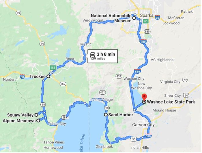
Day 23: Tuesday, June 4 (Reno - Squaw Valley - Lake Tahoe)

Route.


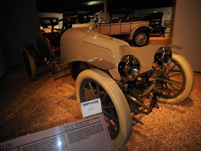
This morning, I head toward Reno, entering the city via Virginia Street, the classic road coming from the south (it’s not a freeway). I make my way to the automobile museum and park in the lot (easy to find on the right bank of the "Truckee River"). This museum is built around part of Bill Harrah’s collection, who made his fortune in hotel-casinos (as the owner, need I say). It took about ten years after his death to put together and open the museum. Three things stood out during my visit: - The sheer number of car manufacturers in the early 20th century (very few made it past the 1920s–1930s). It’s the same story as in Europe, just with different brands. - The "Franklin 1911" (4-cylinder, air-cooled). This car competed in fuel-efficiency races. In 1913, with one gallon (about 3.8 liters), it covered 83.5 miles. Americans used to organize these kinds of races! To put it in perspective: that’s 2.8 liters per 100 kilometers (at an average speed of around 15 mph).


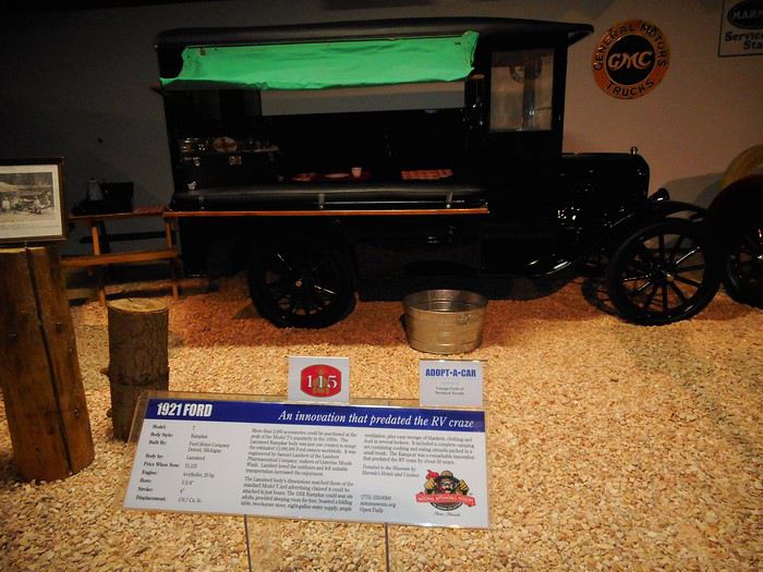
- A custom build on a "Ford T 1921" called the "Kampkar" (6 seats, 4 beds, a 2-burner stove, an 8-gallon water tank): the ancestor of the RV. I couldn’t get a clearer photo because of the lighting.


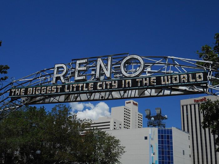
After leaving the museum, I take a walk downtown. The city’s motto on the "Old Reno Arch" (Lake Street).


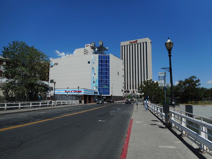
Reno wants to be a mini Las Vegas: here’s "North Center Street" with Harrah’s hotel in the background.


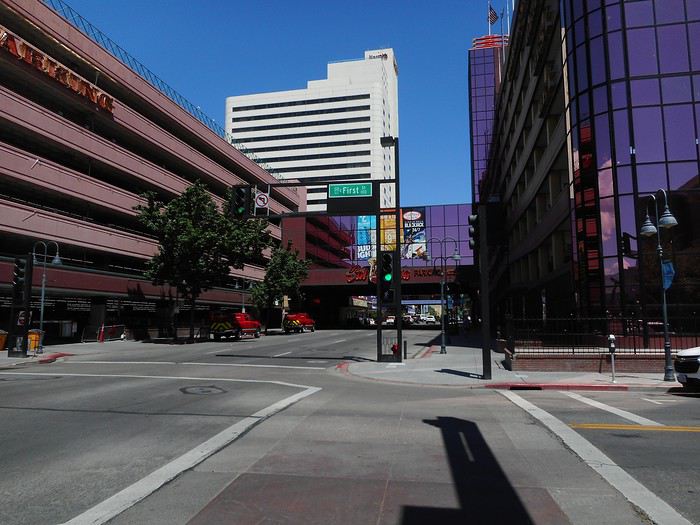
Another downtown street.


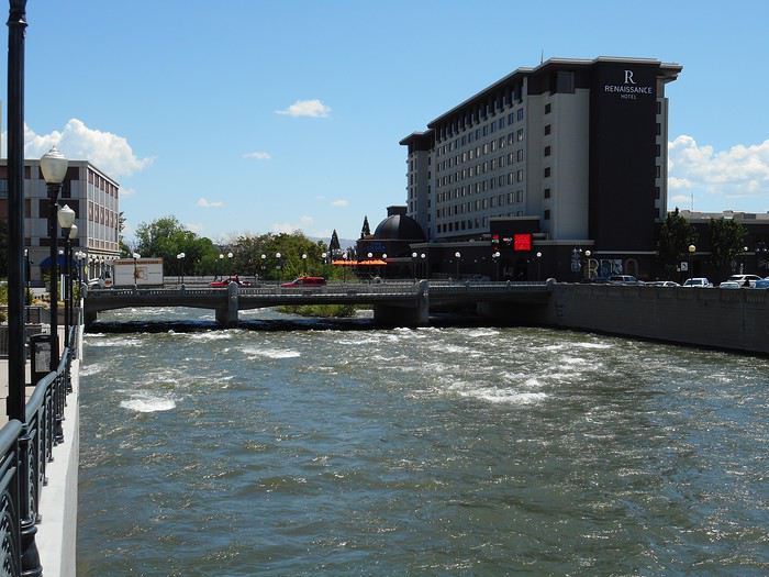
I don’t spend much more time in downtown Reno. I do see the new "Reno Arch", though. I head back toward the banks of the "Truckee River" near "City Plaza." The "Truckee River" comes from the Sierra Nevada; it flows out of Lake Tahoe, heads north, then east (entering Nevada) before emptying into "Pyramid Lake", a low point in the Great Basin. It’s got a strong flow during snowmelt season.


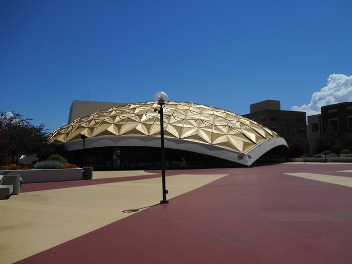
On a plaza (right bank) stands a contemporary performing arts center, the "Pioneer Center for the Performing Arts."


So my view of Reno was limited: the car museum, the Truckee River banks, and a quick foray into downtown. There’s probably more to see.

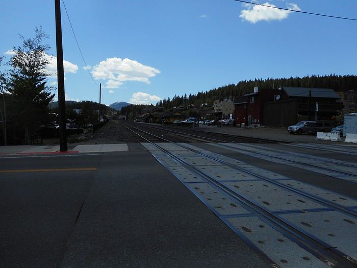
Leaving Reno, I follow the "Truckee River" upstream to Truckee (California). Population-wise, it’s a city, but it feels more like a long village stretched along the railroad tracks. Big parking lots are under construction at the east exit—the paving isn’t done yet, and the toll booths are already installed. The obsession with paid parking isn’t very welcoming, especially compared to Virginia City. Is the village packed in summer? Maybe... It was a major station on the transcontinental railroad, sitting at the foot of Donner Pass, where the line crosses the Sierra Nevada. I photograph the tracks, which feel symbolic of the village from my perspective.


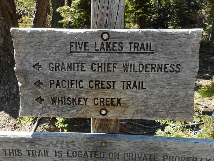
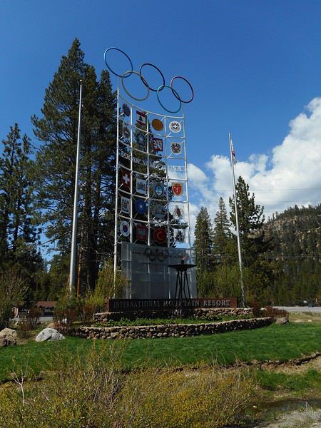
I continue along the "Truckee River" with two goals: try a hike if possible, and check out "Squaw Valley." I pass the "Squaw Valley" intersection and drive to the one leading to "Alpine Meadows." This resort, associated with (but not connected to) "Squaw Valley," is a day-use area with a big parking lot, ski lifts, but no on-site lodging (it’s clearly closed now). I consider hiking the "Five Lakes Trail" in this little valley (Bear Creek), though I’m not optimistic due to the snow. Starting point (halfway between the intersection and the resort).


Sure enough, shortly after starting, the ground is soggy (from melting snow), and it’s clear the trail will be snow-covered before reaching the 350-meter-high plateau. I don’t push it and head to "Squaw Valley" instead. For my generation, the 1968 Grenoble Olympics marked skiing’s arrival in mainstream sports. I remember hearing that the skiers (and ski racers) of that era (Killy, etc.) had precursors, like Jean Vuarnet (inventor of the "egg position"), who won Olympic gold in 1960... at "Squaw Valley." The intersection leading to "Squaw Valley."


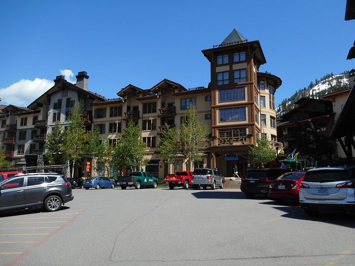
The resort (it’s an integrated one).


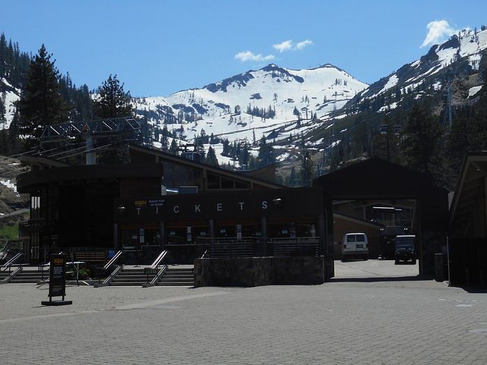
The ski lift departure area.


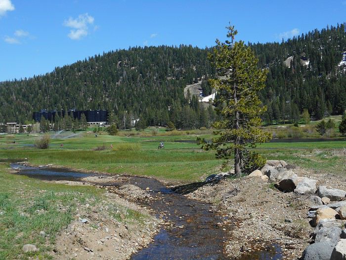
The resort (closed on weekdays) announces it’ll reopen next weekend for the high-altitude terrain (skiing down to the resort won’t be possible anymore). A little downstream, they’re already watering the summer golf course.


Back in the car, I drive to "Tahoe City" (California), take a short break by the lake, then follow the northern shore back into Nevada. I pass "Sand Harbor" and stop a little higher than I did two days ago (roadside or small parking lot—I don’t remember which). I end the day with a short hike to the lake’s edge: "Creek Beach," I think.


Return to "Washoe Lake State Park."

I haven’t mentioned the weather since arriving in Carson City. It’s gradually improved (fewer showers) with rising temperatures each day—today was beautiful and hot.
Valmichel86
VA Valmichel86 Regular ·
Hi Patrice, I looked up the settings on my photos to answer your question, since I’m neither skilled nor particularly attentive when it comes to the technical side of photography. I use a basic point-and-shoot camera (Nikon Coolpix A300) on automatic mode for my shots—I don’t even know all its features. I rarely edit my photos (though I do sometimes) when selecting them while putting together a travel journal. I have to hand it to you—after checking, I realized I’d tweaked the brightness setting by one notch during the day at Alabama Hills (it was really bright that day), which ended up underexposing the shots. When you shoot in automatic mode, the setting stays locked at the adjusted value. I forgot to reset it afterward, so all the later photos were taken with that modified setting. So there’s some underexposure from that change (I can’t explain it any better), but it definitely wasn’t intentional.
Valmichel86
SA Sandrinech25 ·
Hello and thank you! It's always a pleasure to read and see others' journeys—it helps enrich our own travels and inspire new ideas. So, I’m also planning an adventure in the American West this July with my 15-year-old daughter. Can’t wait… 😎 I have a quick question about Death Valley: what’s the closest parking spot or the name of the trail to take to find "The Wave" and "Pastel Canyon"? And how much time should we plan for this hike? Thanks in advance for your reply.
VA Valmichel86 Regular ·
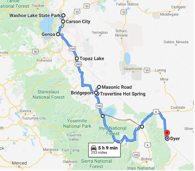
Day 24: Wednesday, June 5 ("Washoe Lake State Park" near Carson City - Dyer)

Route.


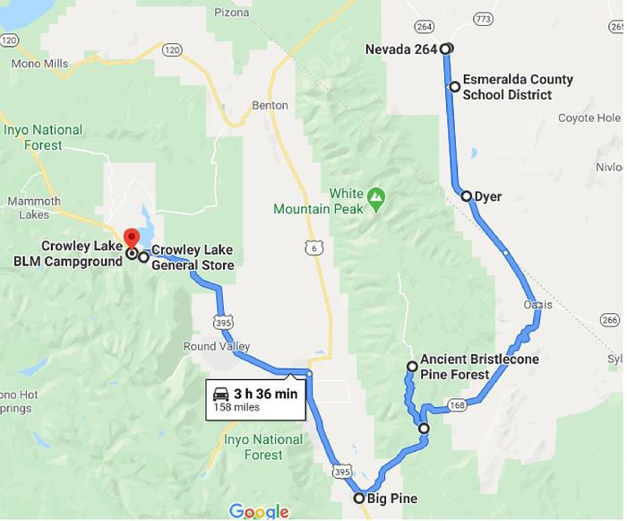
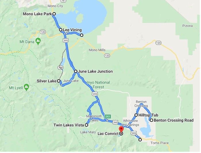
Contrary to what’s shown on the map, I took Route 120 (direct, pencil line) from Lee Vining to Benton. I think the display is because it’s winter and this road is currently closed (so it’s not accepted as a route).

I start the day by heading back to the historic villa district in Carson City, where I’d passed through quickly when I arrived.

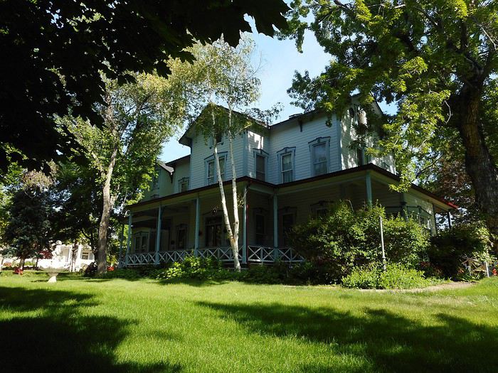
"Bliss Mansion": built in 1879, 15 rooms, all wood, constructed by a lumber operator.


"Governor's Mansion": built in 1909, the governor’s residence.


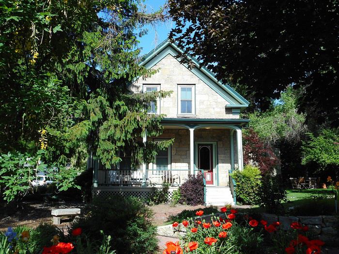
"Orion Clemens House": built in 1864, home of Mark Twain’s brother.


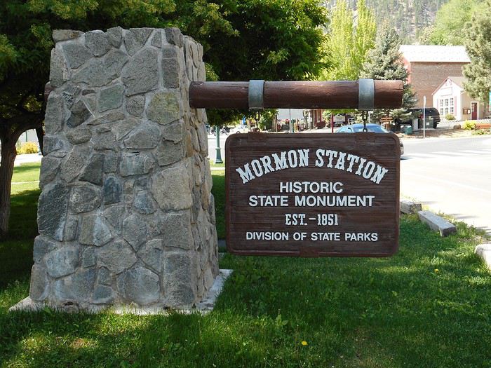
Next, I head toward Genoa via Route 206, to the "Mormon Station State Historic Park" (20 km south of Carson City).


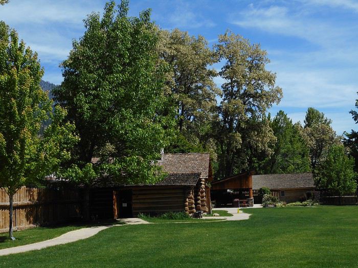
This is the first permanent non-native settlement in Nevada. It was a place where pioneers on the "California Trail" could trade, restock (there was a mill nearby), and repair (blacksmith) before crossing the Sierra Nevada. It remained an important trading hub in this fertile region until the railroad was completed.

The park and the cabin.


The statue of "Snowshoe Thompson," a Sierra legend and the father of skiing in California.


Born in Norway’s Telemark region, "Jon Torsteinssen Rue," known as "Snowshoe Thompson," carried mail between Placerville (California) and Genoa (Nevada) in winter from 1856 to 1876 on skis he made himself (3 meters long, with a pole for propulsion). He reportedly made the California-Nevada trip in 3 days and only 2 days the other way. His story is told in the cabin (exhibit room, small museum).

Then I take US-395 (Minden, Gardnerville) to "Topaz Lake," which is shared by California and Nevada.


A little farther, the road follows the "Walker River" (West Fork) gorge. This river flows from the Sierra to Walker Lake in the Great Basin.


Before reaching Bridgeport, there’s a view of the Sierra Nevada.


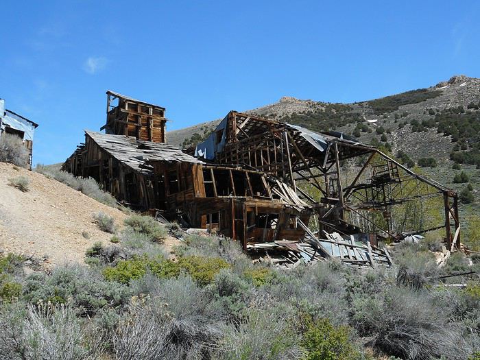
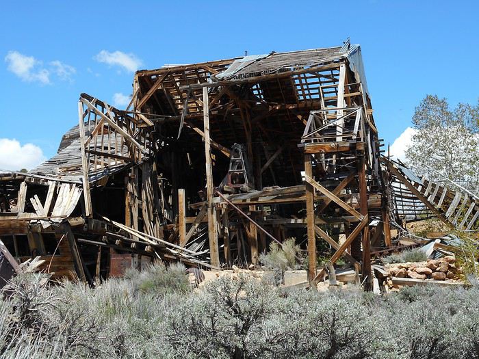
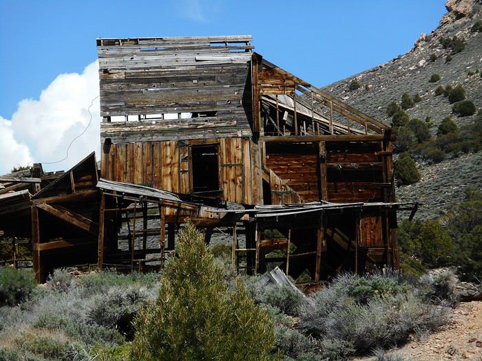
After lunch in Bridgeport, I planned to visit "Chemung Mine," an abandoned gold mine that operated from 1909 to 1938. You follow the reservoir north (Route 182), then, when the reservoir narrows, turn right onto a dirt road (Masonic Road). After about ten kilometers, you can’t miss the mine.


I should clarify: this is an ABANDONED mine (not a town). No one maintains it, and there’s no upkeep to prevent deterioration. I saw a sealed mine entrance, but the ore-processing building (huge) is collapsing in on itself, and it seems dangerous to go too far inside. Either way, I wouldn’t dare walk on the remaining bits of floor.


You can’t really learn much about ore processing from these ruins, and I don’t think I’ve ever seen a building this dangerous with no protection (aside from, maybe, a "danger" sign, which isn’t really protection anyway). Incredible... in a certain way!

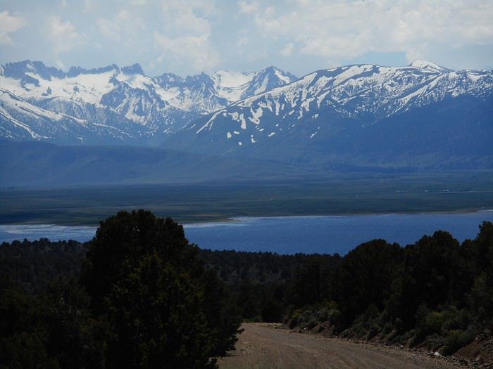
I head back down the dirt road, which offers beautiful views of the Bridgeport Reservoir (on the Walker River’s East Fork) with the Sierra Nevada in the background.


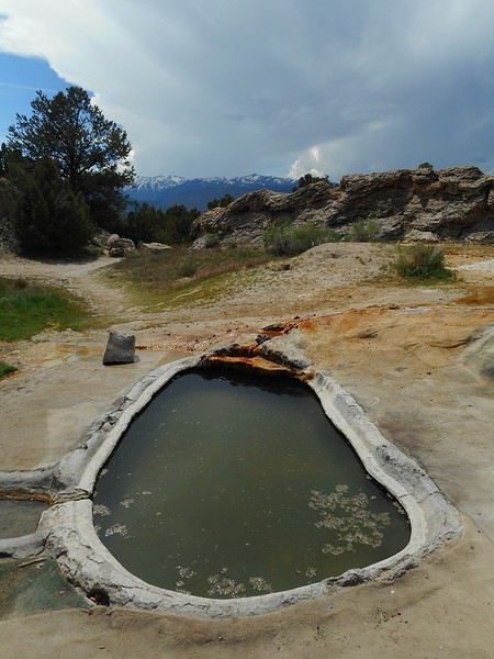
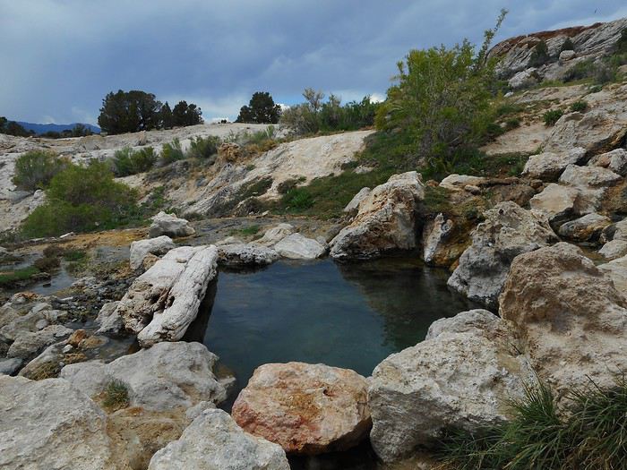
Back in Bridgeport, I go for a soak at "Travertine Hot Springs." I leave town on US-395 south, then after about 700–800 meters, turn left onto "Jack Sawyer Road," which leads there (about 2 km). On the parking lot, there’s an RV and three cars. The first pool is right near the parking lot.


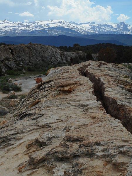
After walking about two hundred meters, I find two more pools fed by a channel—a narrow gorge carved into a long mound.


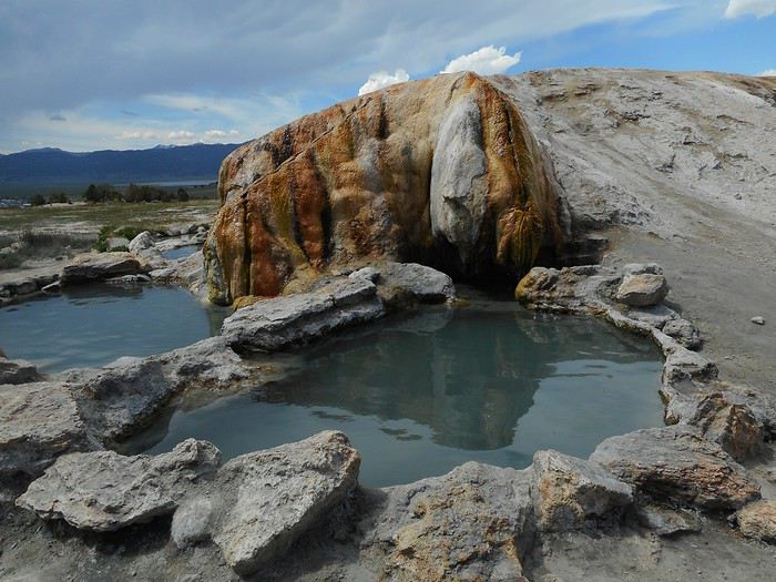
Now, the two (or three) pools at the end of the channel.


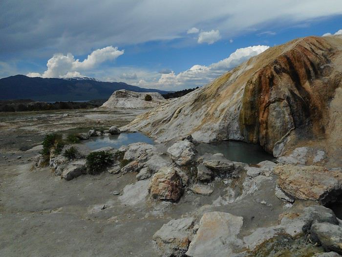
Farther down the site, there’s at least one more pool.


I stopped exploring there and enjoyed the pools fed by the channel (hot bath temperature) with a view of the Sierra Nevada.

While I was at "Travertine Hot Springs," the sky, which had been clear and bright all morning, started to cloud over. It kept darkening, and the end of the day felt dim (like night was coming too early).

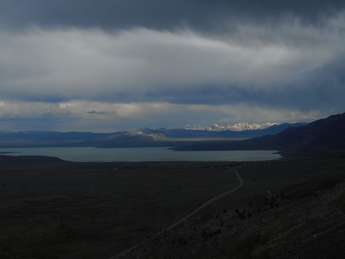
I continue south on US-395 and stop at the viewpoint over "Mono Lake."


After Lee Vining (where I’ll be back soon), I take Route 120 toward Benton, then re-enter Nevada. After skirting "Boundary Peak" (in the clouds), I arrive in Dyer via Route 264.

Night at "Esmeralda Campground" in Dyer.

The two evenings when I really felt like I was far from everything during my time in Nevada were: - This one in Dyer Valley - The one at Berlin-Ichthyosaur State Park. The sense of isolation for people living in these places must be something truly unique.
Valmichel86
VA Valmichel86 Regular ·
Hi Sandrine, you're mixing things up. The question you're asking isn't about "Death Valley" but "Valley of Fire State Park," a state park in Nevada. Referring to a little brochure you can get at the park's Visitor Center, the road leading to the start of the hike is called "White Domes Road" or "Scenic Drive."

The recommended parking lot for "Fire Wave" is marked P3; it's pretty large.

Looking at your question, you can do a loop hike (shorter than mine) like this: -Walk south from P3 along the road for about 1 km. You'll find yourself near "Stripped Rock," "Pastel Canyon," and parking lot P2 (very small, from what I remember). -Take a left into "Pastel Canyon." Follow it for about 500 meters, and you'll reach "Fire Wave." -After seeing "Fire Wave," return to P3 by following the (well-traveled) trail connecting the two spots (about 1 km as well). My distances are rough estimates; it'll be really hot in July.
Valmichel86
SA Sandrinech25 ·
Hi Michel,

Yes, that was a mistake you perfectly corrected ;-) Thanks for your tips! Happy future travels!
VA Valmichel86 Regular ·
Day 25: Thursday, June 6 (Dyer - Crowley Lake)

Route.


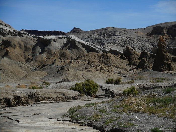
I came here for the rock formations at the site called "The Sump." So, I backtrack to the intersection of Highway 264 and Route 773 (Nevada 264 on the map). I turn right onto Route 773 and drive between 500 meters and 1 km. A track turns off to the right, crosses a very small wash (doable in a sedan), and arrives, after 1 to 2 km, near a much larger wash. I park. I get out and walk into the wash (sandy) and head upstream under a clear blue sky and rising heat. It’s impossible to get lost, and the approach takes about 45 minutes. I won’t see anyone during the entire hike, though a 4x4 is visible in the distance near the site.

I arrive near the site.


I keep moving forward in the wash and turn around.


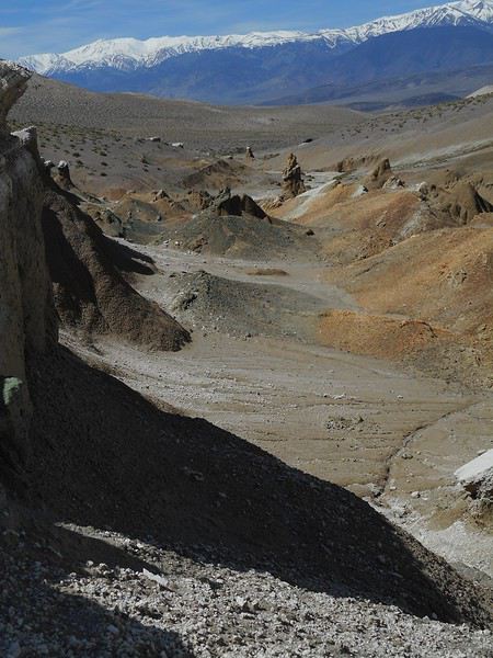
Exploration is entirely improvised, with hesitations and backtracking, as there’s quite a bit of relief and a sometimes very crumbly ground to navigate carefully.


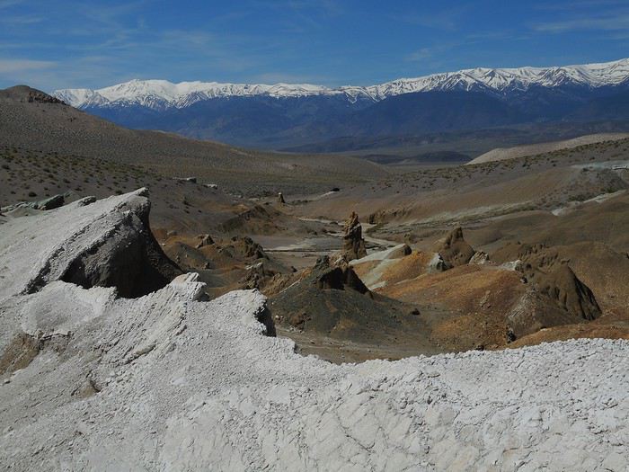
A slightly different area with distinctly white rocks.


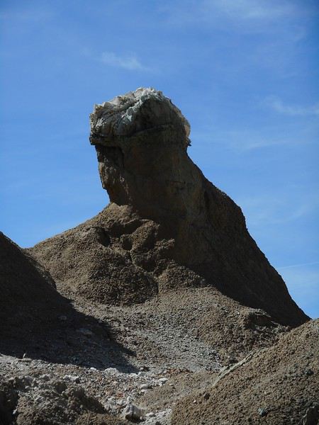
I find a few isolated formations.


I manage to reach a high point from which I can see a whole section of the site in a row.


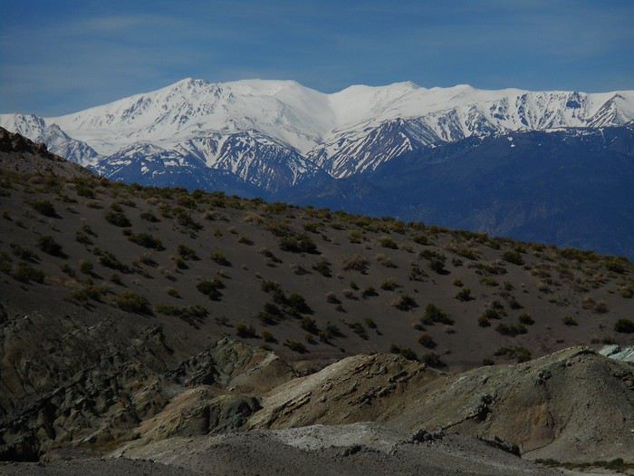
When I look back toward the starting point of the hike, the horizon is dominated by the "White Mountains" (White Mountain Peak and Boundary Peak, both over 4,000 meters high).


After this site, I head off in search of "Fish Lake Valley Hot Springs" (Fish Lake Valley is the official name of the Dyer Valley), hoping to take a dip like yesterday. From the intersection of Highway 264 and Route 773, I drive the 9.5 km indicated and find "Willow Road," the track that should lead there. But once on it, several tracks branch off—I didn’t note any specifics (poor preparation) and don’t know how far the hot springs are. I give up. I resume the planned route: Dyer, enter California, Oasis, a small pass, Deep Springs.


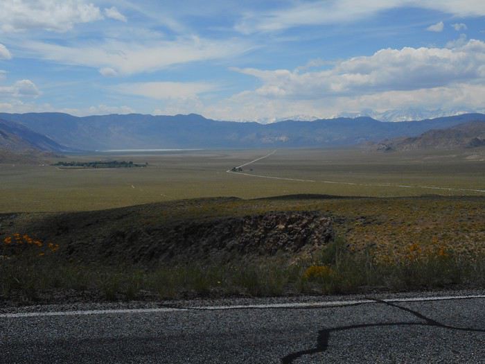
The road climbs toward another pass, "Westgard Pass," near which the turnoff to "Ancient Bristlecone Pine Forest" is located. The access road starts at 2,100 meters and climbs to nearly 3,000 meters.
Valmichel86
IT Iterfacimus ·
Hi Michel, Thanks for this travel journal—I’m following it with interest. You’re bringing back so many great memories for me! Reading you, I’d book a flight ticket right now to go back 😉
Christine (anouslemonde.net)
VA Valmichel86 Regular ·
Day 25: Continued

On the climb, I try to pay attention to the vegetation layers mentioned on a small sign. There’s "Utah Juniper" at the lower level, then "Pinyon Pine" a bit higher up. These are the two species found everywhere in Nevada’s forests.

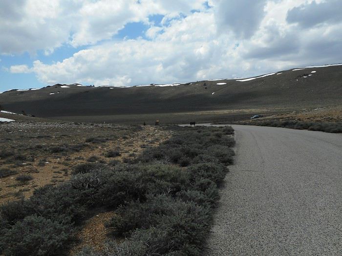
The road keeps climbing, and the forest disappears completely.


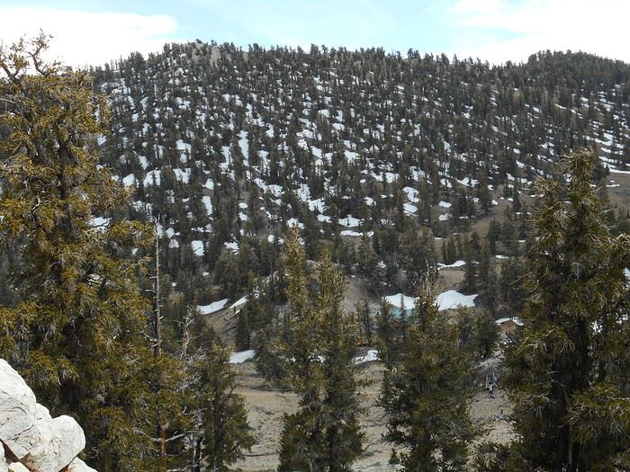
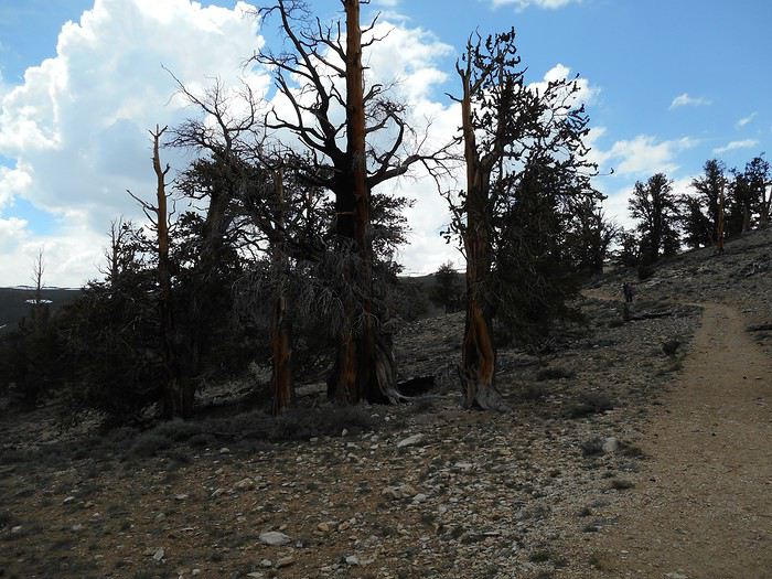
We then reach a plateau with a bare section and another covered by a forest on the mountainside, made up entirely of a single species: "Great Basin Bristlecone Pine."


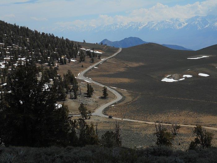
The road leads to the far end of the plateau. "Schulman Grove" (Parking, Visitor Center) is to the left, a few hundred meters from the intersection.


I’m at about 3,000 meters elevation. There’s a second site, "Patriarch Grove," accessible via a 10 km dirt road, but it’s closed (barrier, elevation reached: 3,700 meters, snow). Three hikes are offered; I’ll walk a few hundred meters on the "Bristlecone Cabin Trail," a hike the ranger at the Visitor Center advised against because it’s on a north-facing slope with icy snow. The slope where this hike is located.


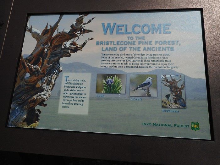
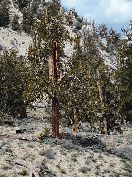
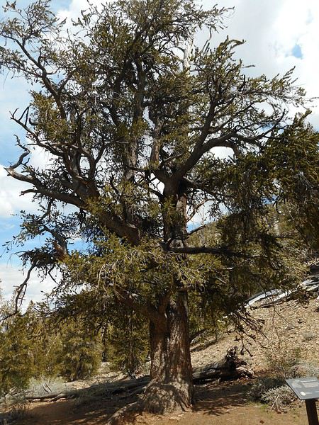
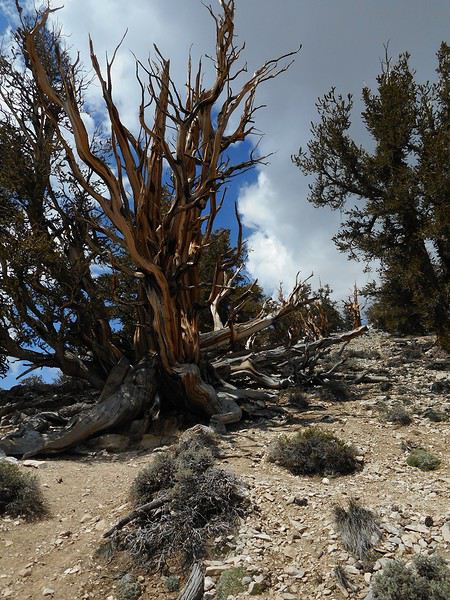
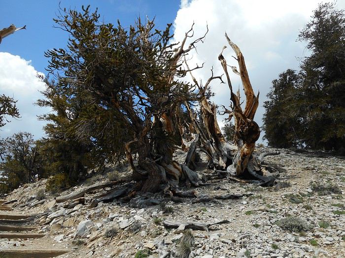
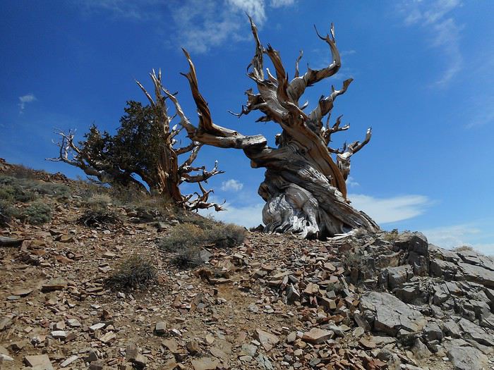
I get up close to my first "Bristlecone pines"—the only species that adapts to these altitude and climate conditions. They’re the oldest trees in the world.


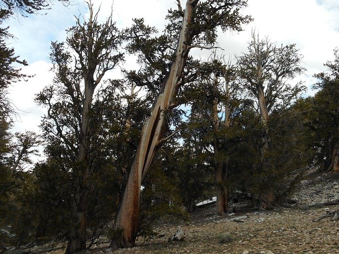
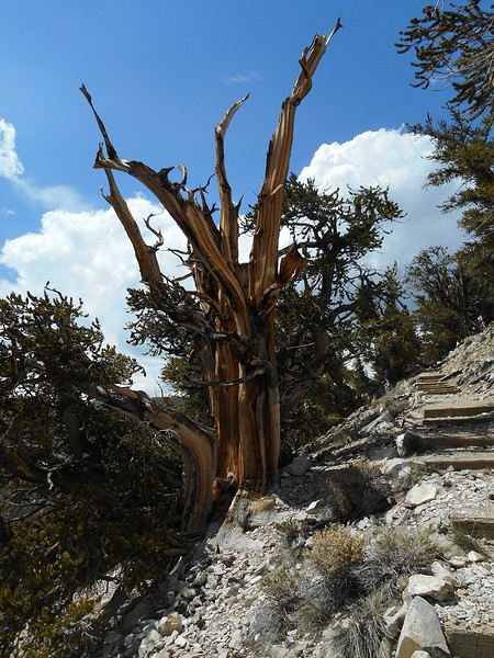
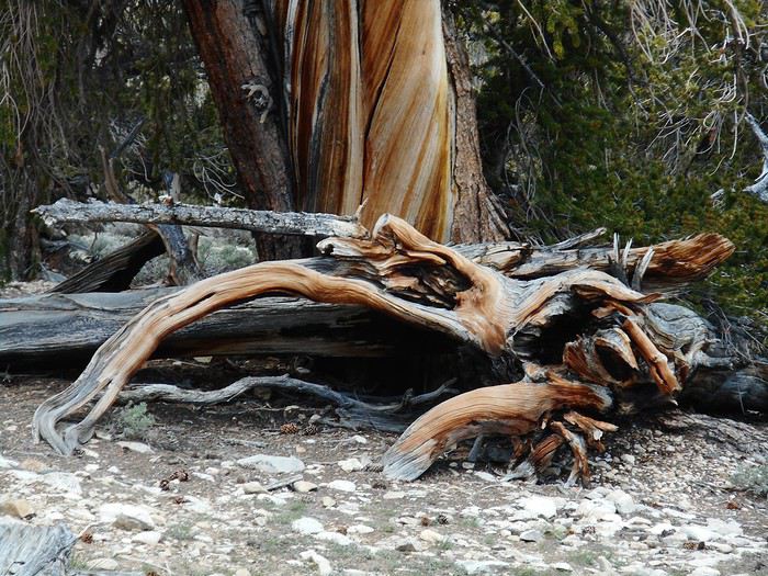
On another hike, the "Methuselah Trail," you can see the oldest tree (around 4,700 years old), but you can’t identify it—no sign distinguishes it from the others to prevent vandalism. I only walk part of the "Bristlecone Cabin Trail" before switching to the "Discovery Trail," which is shorter, developed, has explanatory signs, and is snow-free since it faces southwest. As the photos show, there isn’t a high density of trees; the root system is spectacular when visible, which is often the case.


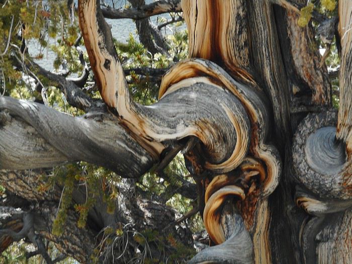
The close-ups of the wood are just as impressive—these trees grow (very slowly) on extremely rocky soil.


All that’s left is to head back down to the intersection and then to Big Pine. From there, I take US-395 and drive to tonight’s stop: "Crowley Lake BLM Campground," in the sagebrush steppe at the foot of the Sierra. It’s a very basic campground, but it offers a view of Crowley Lake (photo tomorrow).
Valmichel86
VA Valmichel86 Regular ·
Hi Fabien, Following your suggestion about the lizard photo in my post "Day 17 continued"—where you thought it might be a banded gecko—I started looking through image databases. It’s not easy because some details match while others don’t. The searches jump from one species to another, and in the end, the closest match (and one that fits the distribution area) is: "Great Basin Collared Lizard" or "Desert Collared Lizard," scientifically known as "Crotaphytus Bicinctores."

Just a suggestion, and I’m no more of an expert than you are.
Valmichel86
SN Snakeyes Regular ·
Well spotted!

... side question: we love sharing this trip with you... but aren't you planning to find a travel companion to share these great moments with? 😇

As our late traveler friend Christopher McCandless so wisely said: happiness is only real when shared!
VA Valmichel86 Regular ·
Day 26: Friday, June 7 (Eastern Sierra)Route.


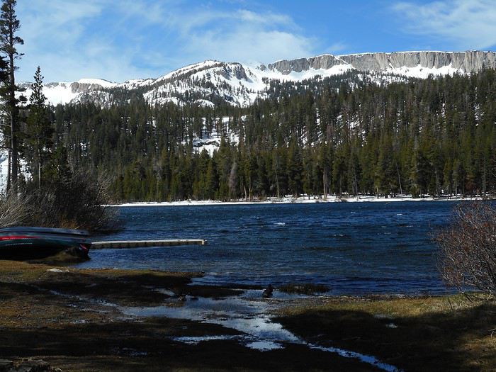
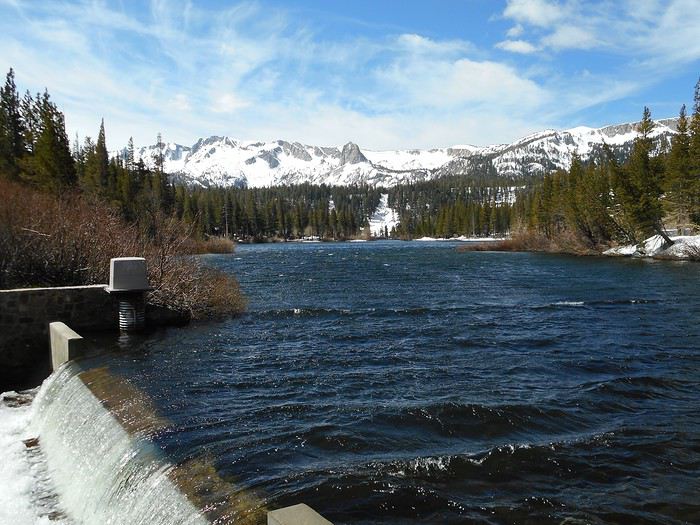
This morning, it's sunny but cold. In "Mammoth Lakes" (a town), I pick up some tourist info at the Welcome Center. I start by heading to "Twin Lakes"; it's on the edge of town at the end of "Lake Mary Road," which in winter ends near "Twin Lakes" (the road isn’t plowed at higher elevations). The shores are mostly snow-covered, and there’s wind on the lake, though I don’t really feel it in a small cove.


At the lake’s lower outlet, the wind (coming from the south) sweeps down from the Sierra and funnels through the valley where the two lakes are—it’s fierce and freezing.


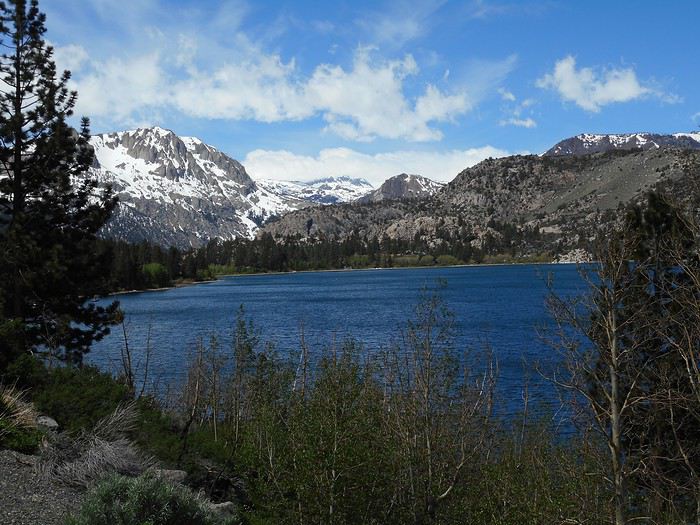
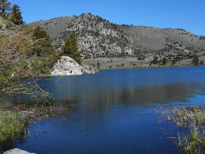
I head back toward town; people are walking around with skis on their shoulders. I take "Mammoth Scenic Loop Road" to join US-395. A little farther on, I do the "loop of the lakes" (Route 158); the first two lakes (June Lake and Gull Lake) are calm.


The road changes direction, and the third lake (Silver Lake) is in a wind-swept valley (like "Twin Lakes").


About ten kilometers later, I’m in Lee Vining. I just saw (inclusion refused) that the number of photos per travel journal is limited to 300, effective March 9, 2020. I’ve gone over—I’ve posted too many. I’ll figure out what to do.

Written on March 11, 2020. I can’t continue this travel journal because I can’t include any more photos going forward. The trip lasted 33 days, with day 33 being the return flight day. I’ll write up day 33, but days 26 (only the start is written) through 32—seven days in total—will be missing. Six of those seven days all have the same theme: the Sierra Nevada. I want to think about how to write it and the total number of photos before I start. I plan to get to it within a week at the latest. I’ll edit this post to add the name of the travel journal and see if it works on the site.
Valmichel86
MO Monike1 Regular ·
Wow, Death Valley is so beautiful—it's really one of my favorite parks. And the advantage of visiting in May is that the temperatures are much more bearable. We went there in August and hiked Golden Canyon in 48°C, and six years earlier, Natural Bridge in 52°C. Thankfully, we had brought water! I’ve always told myself I’d go back in the spring (now that I’m retired). Thanks for these amazing photos and this really interesting trip report.
VA Valmichel86 Regular ·
Day 33: Friday, June 14 (Montara Lighthouse - France)

I wake up at 3 AM and I'm ready to leave 10 minutes later. I open and close the youth hostel gate without any trouble. I chose this accommodation for an easy trip to the airport: 19 km north on Route 1, then 11 km of highway to "San Francisco Airport." The signage to the rental car return center is well done. At 3:40 AM, the car is returned; I barely have time to note the mileage on the odometer and grab my luggage. At that hour, the rail link to the airport terminal isn't running; a bus replaces the train. I don’t have a clear memory of the return trip: everything went according to schedule, smoothly (2-hour-40-minute layover in Montreal, arrival at Paris CDG on June 15 at 6:30 AM). I got home in the early afternoon.
Valmichel86
GL Glll2012New Veteran ·
Hello

I just saw (inclusion refused) that the number of photos per travel journal is limited to 300, effective March 9, 2020: I’ve exceeded it, I’ve uploaded too many.

I’m new here too—this is news to me! So if you stay for a month, that’s 10 photos per day. Even if you only visit one site a day, it’s really hard to summarize things so briefly.

The point of the travel journal and the visual info it contains becomes pretty weak. Or else you’d have to create multiple journals, so the hidden goal (reducing photo volume) won’t be achieved.
Gilles 2019 : https://voyageforum.com/discussion/2019-voyage-se-faire-plaisir-d9730876/ 2017 : https://voyageforum.com/discussion/usa-2017-40-jours-bonheur-presque-d8161050/ 2015 : https://voyageforum.com/discussion/west-2015-encore-autrement-d7083633/
DI Diamina Globetrotter ·
Hi Michel,

About ten kilometers further on, I’m in Lee Vining. I just saw (inclusion refused) that the number of photos per travel journal is limited to 300, effective March 9, 2020: I’ve gone over, I’ve added too many. I’ll figure out what to do.

Written on March 11, 2020. I can’t continue this travel journal because I can’t include any more photos in the rest.

I’m shocked by this limit.... Is VF trying to discourage forum members from keeping travel journals? I think we deserve an explanation!!

Anyway, Michel, thanks for this travel journal and for your perseverance.
Nord Chili, NOA, Sud Lipez, La Paz août 2012 https://voyageforum.com/forum/mois_dans_andes_peripeties_en_altitude_D5526293/ Apologie du southwest en hiver https://voyageforum.com/forum/apologie_sud-ouest_etats-unis_en_hiver_D5851267/ Impressions d'Afrique et de Namibie
MA Marati Globetrotter ·
Hi Michel, This limitation is counterproductive! The photo quality was already degraded... And now, on top of that, we're limited to 300 photos—it's total nonsense. For a 30-day trip, with 2-3 sites visited per day, that means we’re basically allowed just 3 photos per site, including explanatory ones (routes, info signs, etc.). So we’ll be back to the old travel journals where we had to split everything into multiple parts. That’s what I’d encourage you to do, because your travel journal is fascinating!
MA Masterpo Globetrotter ·
This limitation is counterproductive!

By definition, when you limit production, yes, it's counterproductive. But that doesn't make it a bad thing.

The photo quality is already degraded...

Increasing the number of photos won't improve it.

Now, on top of that, we're limited to 300—it's total nonsense.

Yes and no. Some people don’t hesitate to dump their entire SD card as-is, posting one shot, then the same scene ten meters to the left, then ten meters to the right. Often with no comments at all. Reducing the number of photos will probably curb that kind of excess.

The text isn’t affected, and that’s really what makes a travel journal interesting anyway.

For a 30-day trip, with 2-3 sites visited per day, that means we’re only allowed 3 photos per site.

That’s already a lot. That’s 10 photos a day. Basically, one per hour. I think that’s enough.

Including explanatory photos (routes, info signs, etc...)

True, those are really useful.

We’ll go back to the old travel journals where we had to split things into multiple parts.

That’s definitely one solution. Is it a good one? I don’t know, but it’s a solution. And splitting things up when a trip has really distinct sections—why not?

That’s what I’m encouraging you to do, because your travel journal is fascinating!

Yes. The issue here is different. While I don’t think it’s unreasonable to apply this limit to new travel journals created with full awareness, I do think it’s excessive and unfair to limit journals that have already been started.
VO VoyageForum Globetrotter ·
Hello,

I'm shocked by this limitation.... Is VF trying to discourage forum users from creating travel journals? I think we deserve an explanation!!

No, Diamina, VF is just trying to survive... It's better to have travel journals limited to 300 photos (which seems very reasonable to me) than no site at all... When a travel journal has over a thousand photos, it takes up more than 1 GB of data on the site's servers for that single journal, not to mention the bandwidth costs to send those photos worldwide and the backup system costs that protect the photos in case of a disaster with the main servers. The situation is very critical right now for VoyageForum (we're not a mega-corporation...) and everyone needs to do their part. This means that members should simply preselect their best photos before publishing them on the site to reduce the hosting costs of their travel journals.
If VF's financial situation returns to normal, we can increase the limit or even remove it. But right now (and this is even more true with the impact of coronavirus on the tourism industry; advertisers/sponsors who pay for the site's hosting are pulling out...), we have no choice but to cut costs.

That said, we in no way want to discourage the publication of new travel journals (the amount of text remains unlimited and the 300-photo limit per journal seems reasonable to summarize a trip). Our goal is simply to better share the remaining space on our servers among all members who want to publish a travel journal, while slowing the growth of hosting costs (servers, bandwidth, backups). Unfortunately, some members seem to have thought our resources were unlimited (especially those who post over a thousand photos per journal without any preselection), which is why we need to set a limit today. Even the massive photo site Flickr is in serious financial trouble... We need to stop thinking that the internet is free and unlimited... 😕 For every click on a site, every page, every photo, every text displayed, there has to be someone paying for the hardware and staff resources used behind the scenes.
Best regards,

François, administrator and founder
MyAtlas Group VoyageForum.com · MyAtlas.com
VO VoyageForum Globetrotter ·
Hi Guillaume,

Déjà que la qualité des photos est dégradée...

What is this completely false statement? VoyageForum is one of the sites that applies the least compression to photos—so much so that it's practically imperceptible. Try a 4K screen (or a tablet with a high-DPI resolution) and open/enlarge a nice photo from a travel journal by clicking on it. The photo that appears will have a resolution of 2000 pixels wide (the actual photo file) to ensure maximum sharpness for the screen resolution... Show me another site the size of VoyageForum (or even bigger) that offers as much in terms of quality (imperceptible compression) and photo resolution... 🤪 We far exceed the highest standards for photo display. But that still doesn’t seem to be enough for you... 🤪

C'est contreproductif, cette limitation ! ... Si maintenant, en plus, on est limité à 300, c'est du grand n'importe quoi.

Yeah, total nonsense... You have no idea... 🤪

Best regards,

François, administrator and founder
MyAtlas Group VoyageForum.com · MyAtlas.com
MA Marati Globetrotter ·
Thanks for the explanations. When, in another thread, a prominent member predicted, among other things, the end of VF as a consequence of Covid, they weren’t far off the mark 🤪😕

I take back what I said, and everyone will adapt to these new rules for the good of the community.
DI Diamina Globetrotter ·
Hi François,

Sorry about the VoyageForum situation, and thanks for the explanations. Is there any way to help? It’d be a shame if VF disappeared. Starting a subscription... who knows, members might chip in... Even if everyone puts in just 1 €, with over a million members... and even if it’s only half, that should do it, right?🤪
Nord Chili, NOA, Sud Lipez, La Paz août 2012 https://voyageforum.com/forum/mois_dans_andes_peripeties_en_altitude_D5526293/ Apologie du southwest en hiver https://voyageforum.com/forum/apologie_sud-ouest_etats-unis_en_hiver_D5851267/ Impressions d'Afrique et de Namibie
MA Marati Globetrotter ·
Hey Diamina, Great idea, but I’m wondering. 1 million members, but how many are active, and how many will be ready to contribute? Opening the fundraiser doesn’t cost anything, and we might get a nice surprise.

Similar discussions

You might also like