
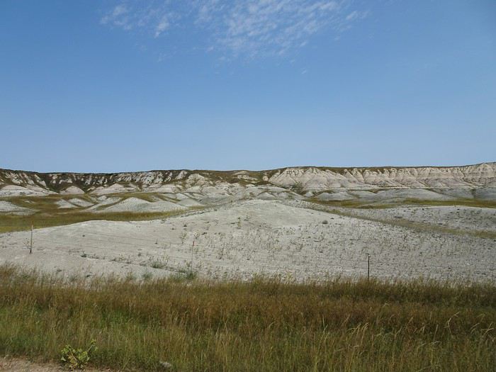
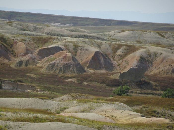
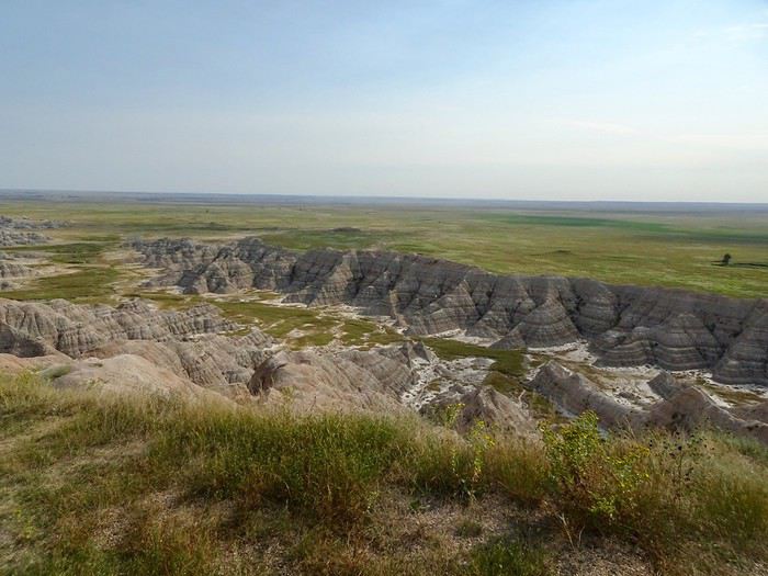
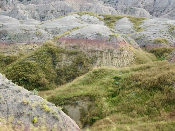
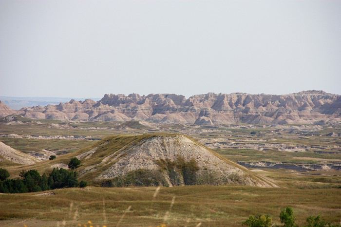


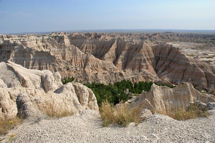
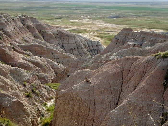
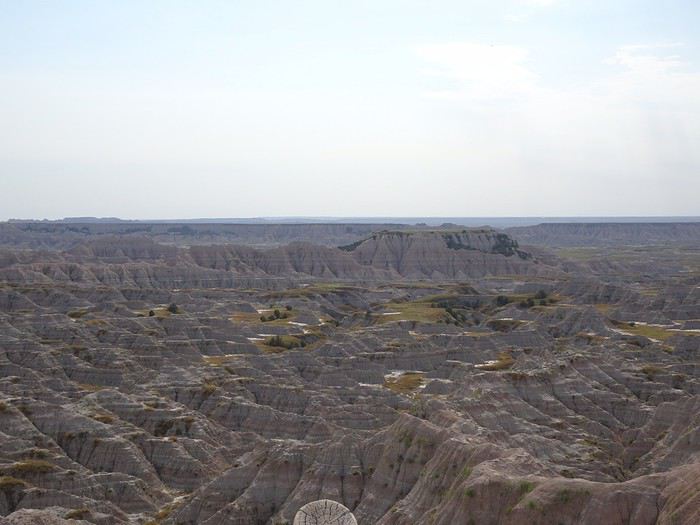
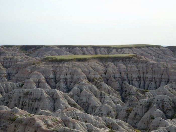
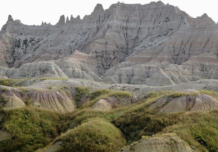
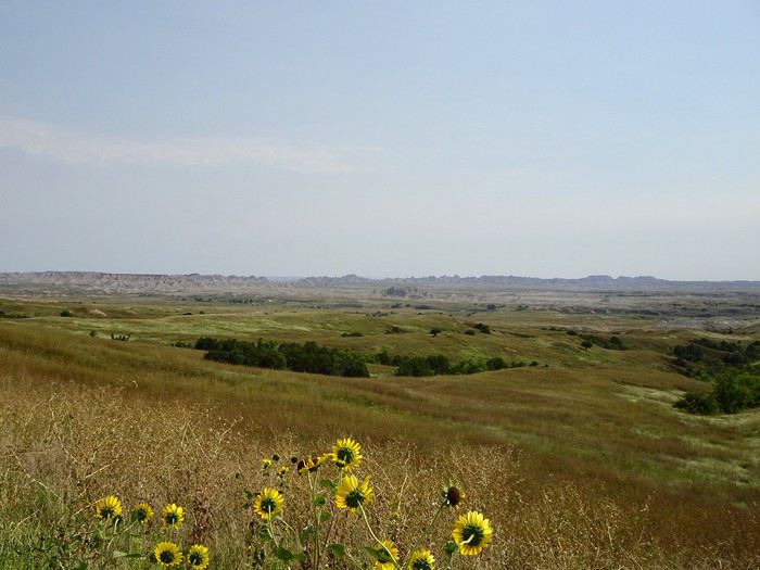
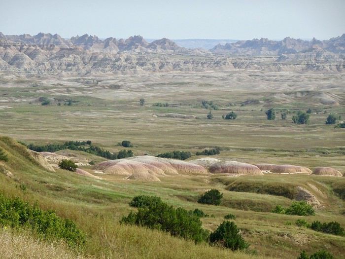
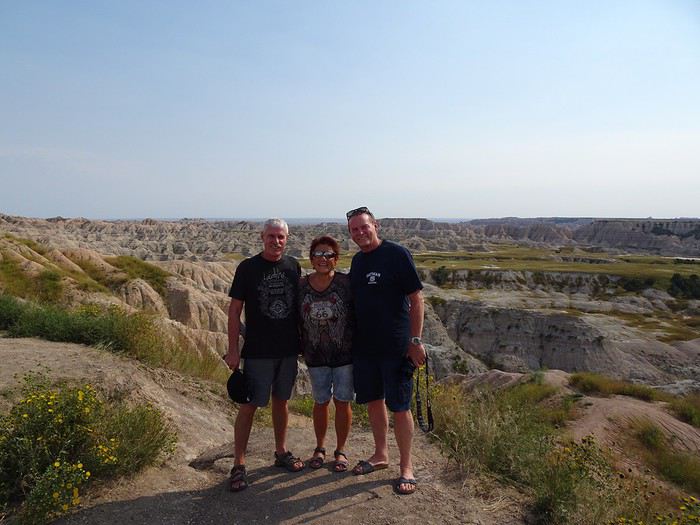
 Badlands Loop Road
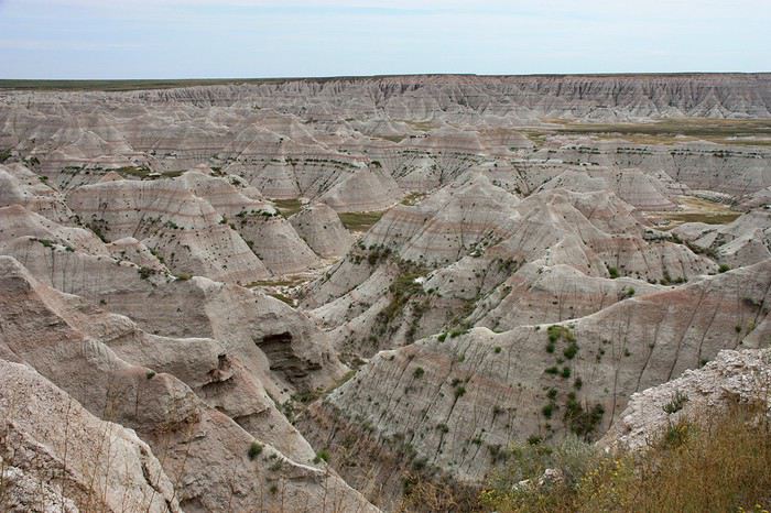
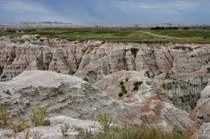
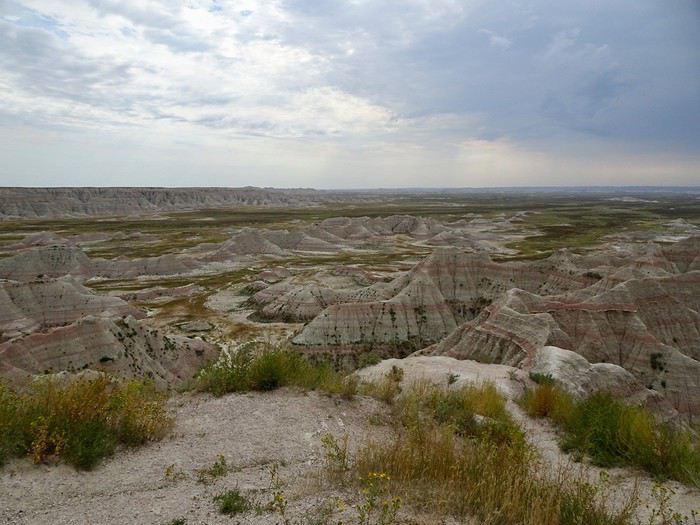
Every viewpoint is a completely new spectacle, totally different from the last.
Sage Creek Basin
Badlands Loop Road
Every viewpoint is a completely new spectacle, totally different from the last.
Sage Creek Basin
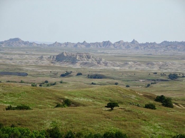
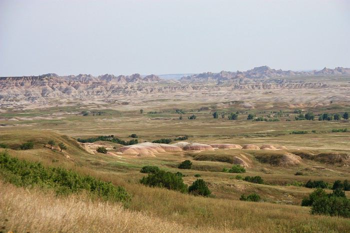
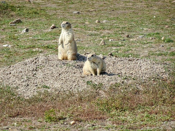
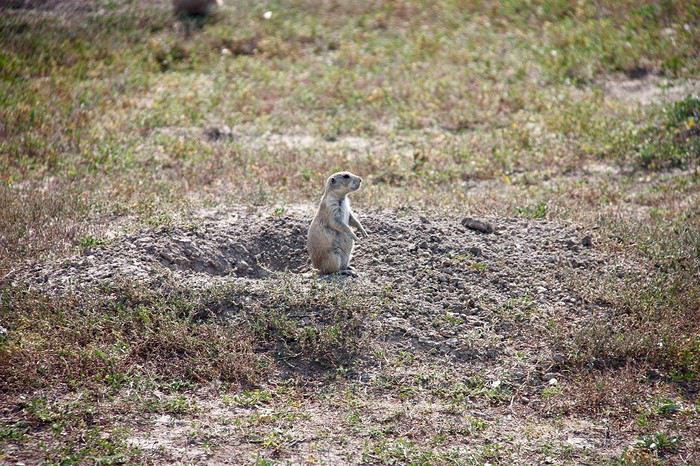
 Robert Prairie Dog Town
 Badlands Wilderness
s
Badlands Wilderness
s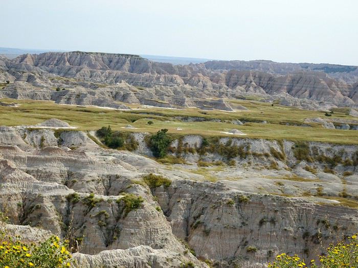
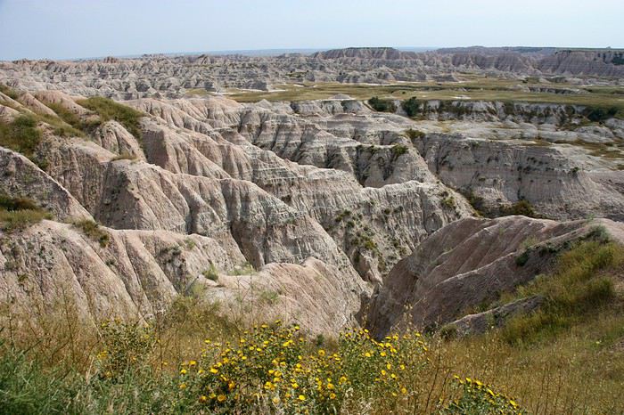
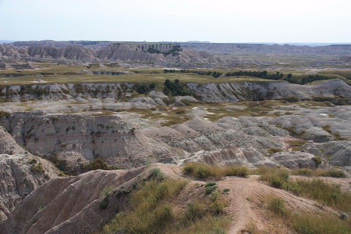 Hay Butte
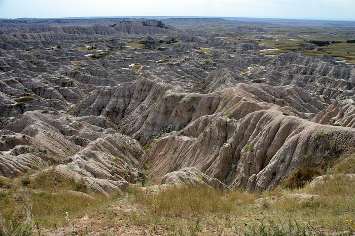
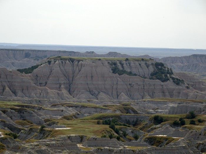
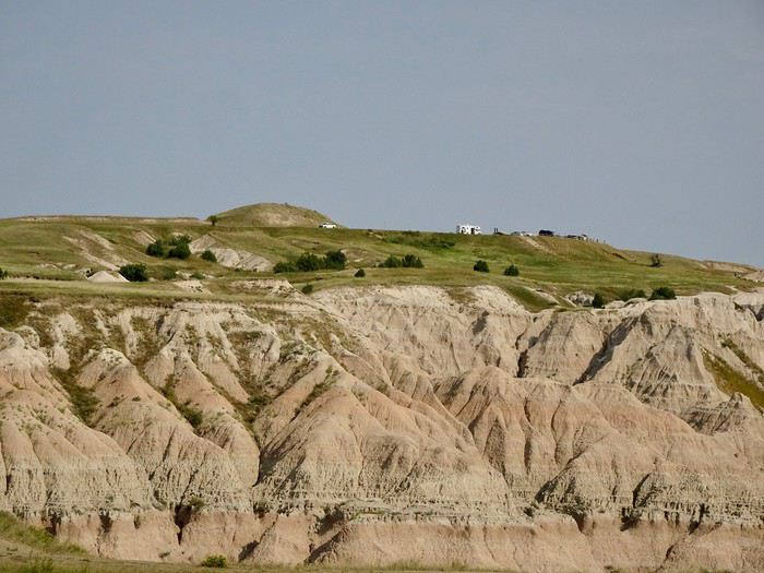 Pinnacles
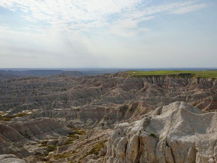
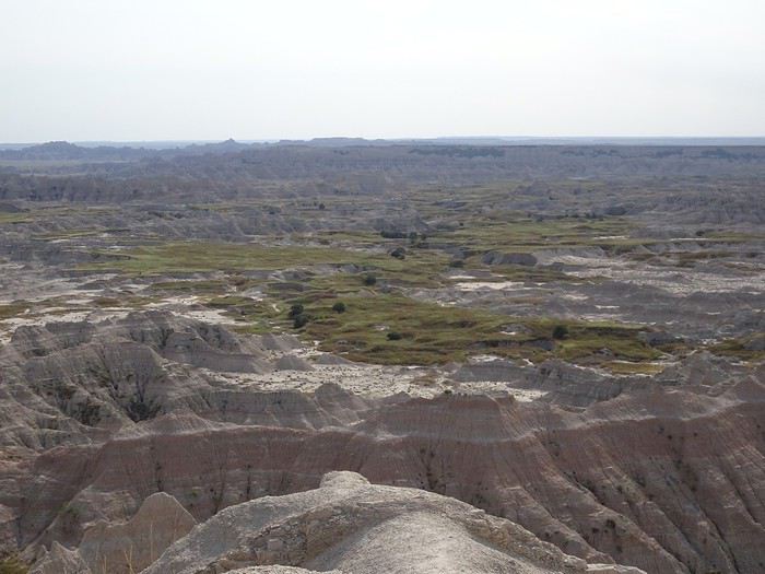
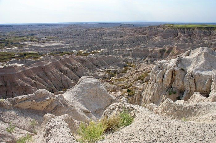 Old Hunters
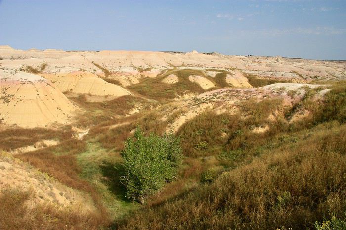
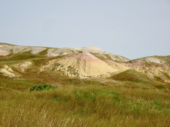
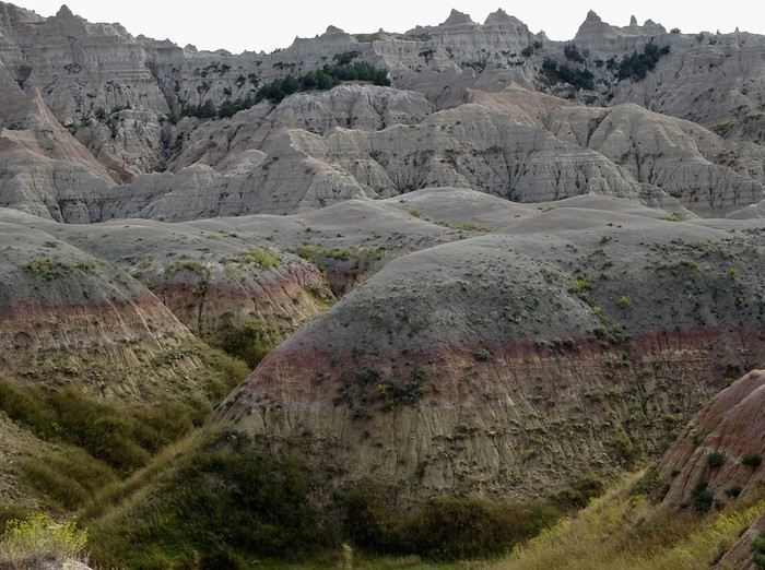
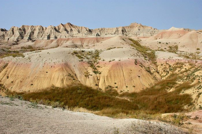
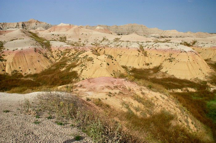
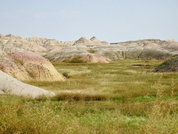
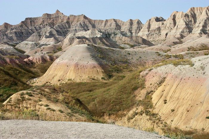
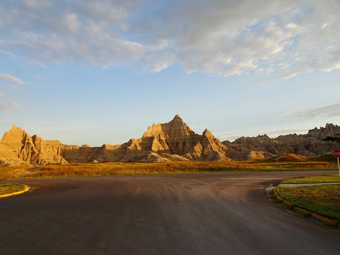
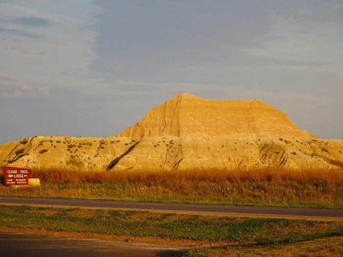
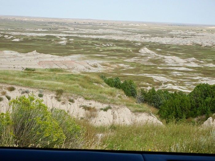 The road leaves the green behind for a more mineral, yet still colorful, atmosphere before reaching one of the prettiest spots in the park:
the Yellow Mounds.
The road leaves the green behind for a more mineral, yet still colorful, atmosphere before reaching one of the prettiest spots in the park:
the Yellow Mounds.
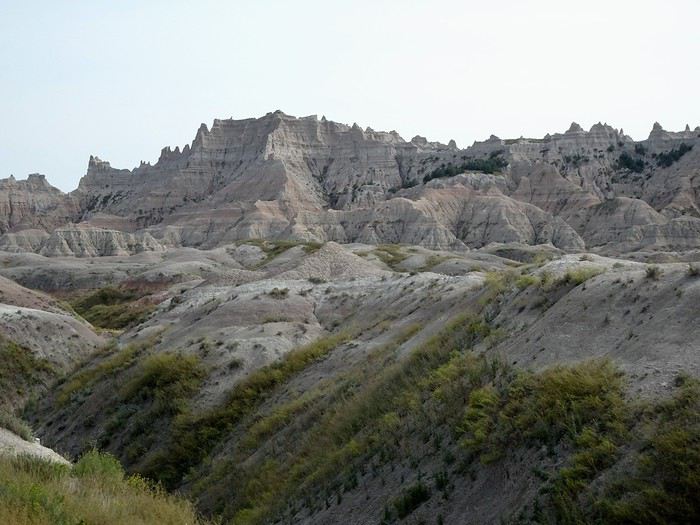

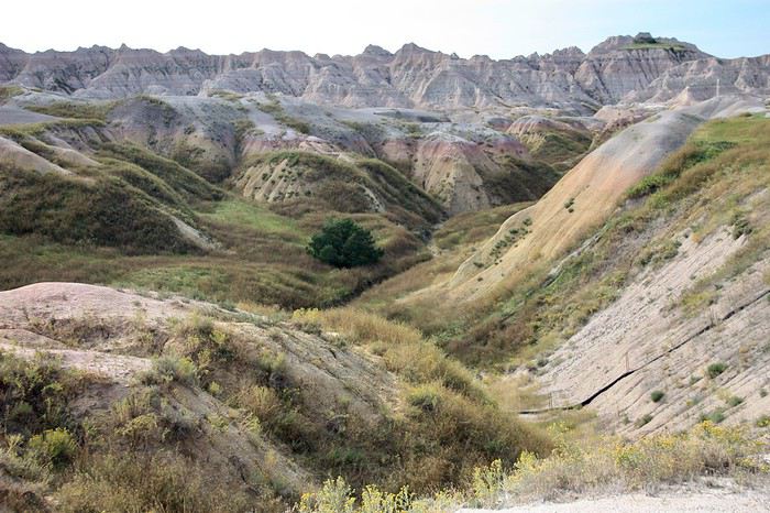
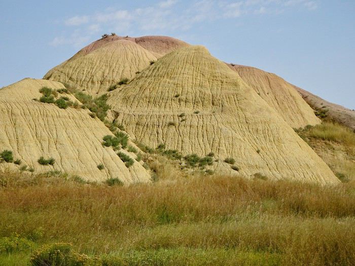 Conata basin
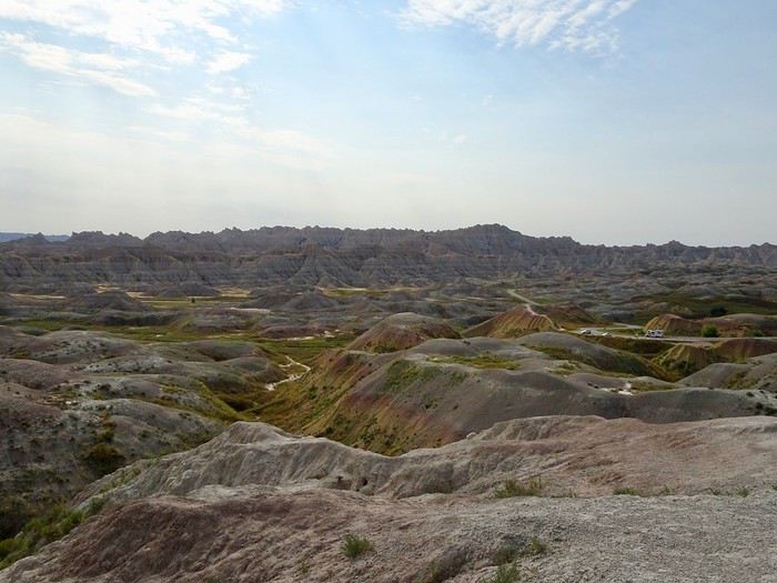 Homestead OVL
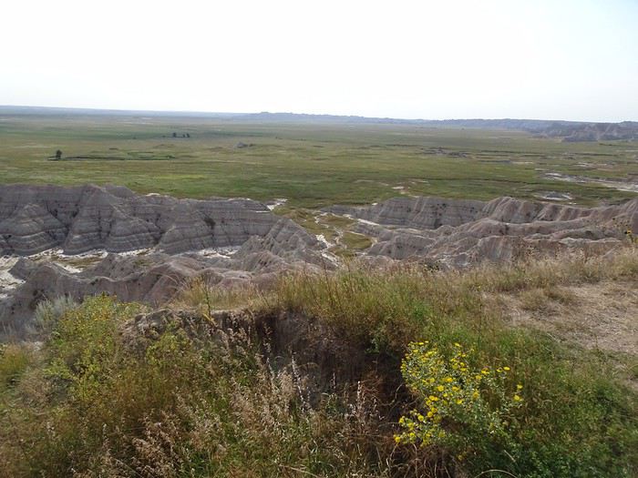 Burns Basin
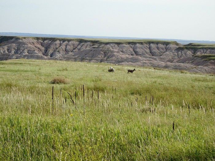
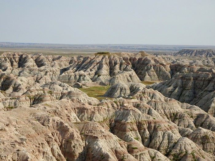 Panorama point
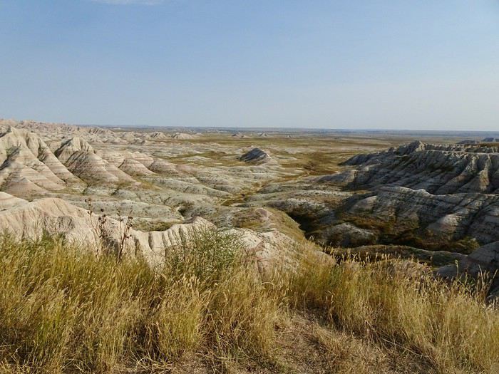
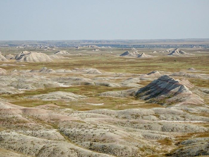
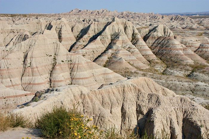 White River Valley
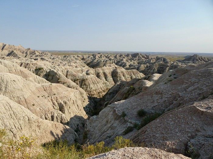
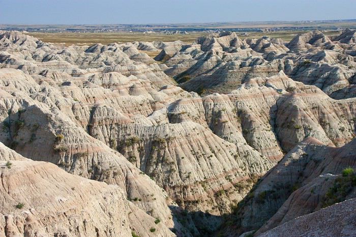 There you go, last stop at the Badlands OVL done.
We continue toward Cedar Pass Lodge, driving past the Fossil Exhibit Trail without stopping.
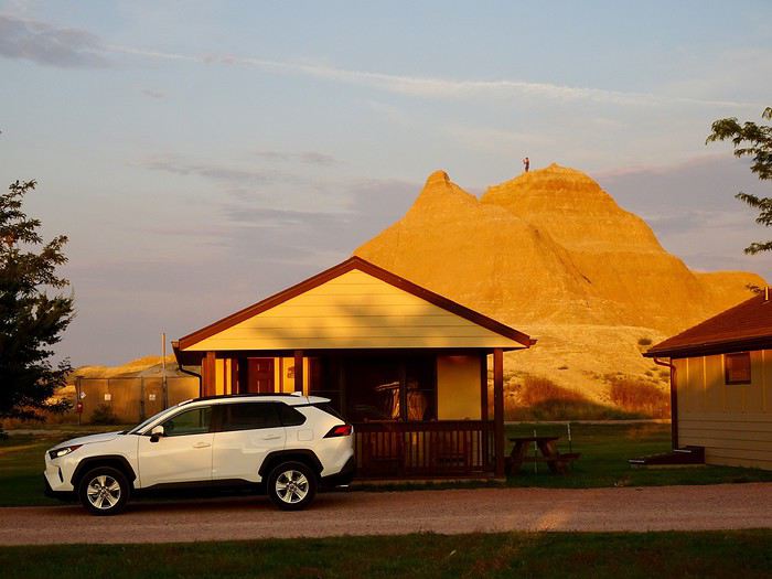
We check in and pick up the key to the cabin.
Huge laughter when Maumau zooms through the room like a rocket, nearly wiping out when the door finally opens after several failed attempts!!!!
We drop off our luggage, freshen up a bit, and head out almost immediately to do the three short hikes next to the Ben Reifel Visitor Center.
There you go, last stop at the Badlands OVL done.
We continue toward Cedar Pass Lodge, driving past the Fossil Exhibit Trail without stopping.
We check in and pick up the key to the cabin.
Huge laughter when Maumau zooms through the room like a rocket, nearly wiping out when the door finally opens after several failed attempts!!!!
We drop off our luggage, freshen up a bit, and head out almost immediately to do the three short hikes next to the Ben Reifel Visitor Center.
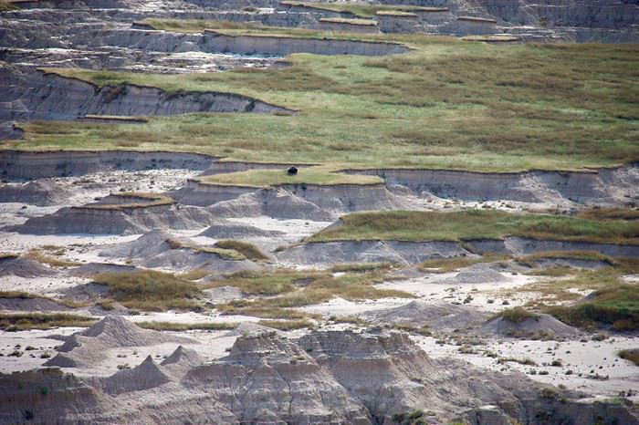
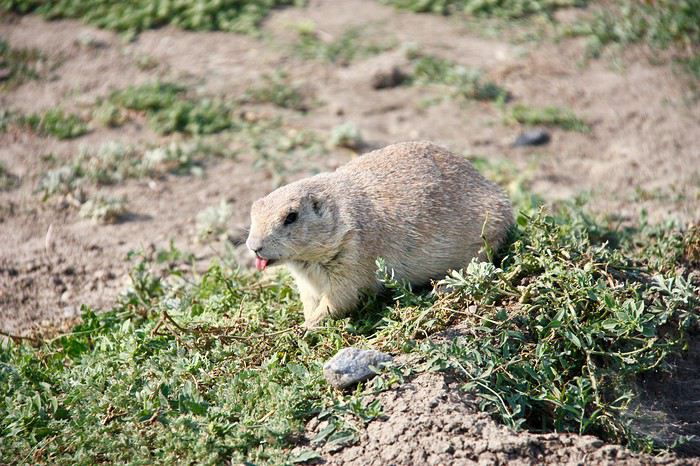

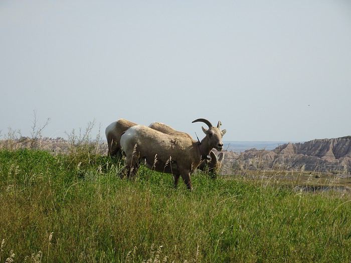
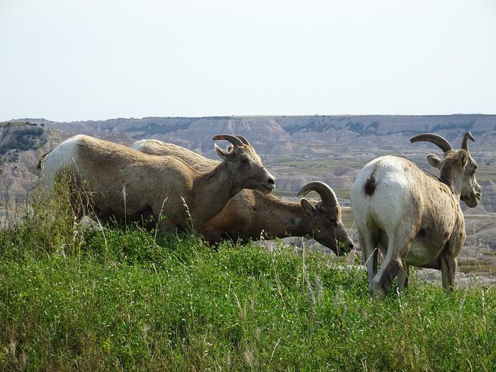
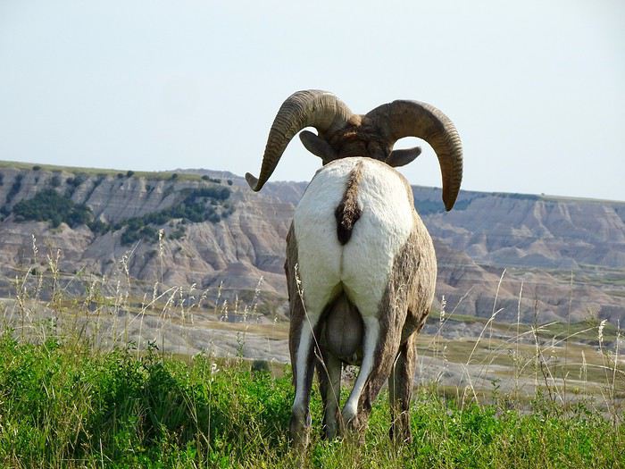

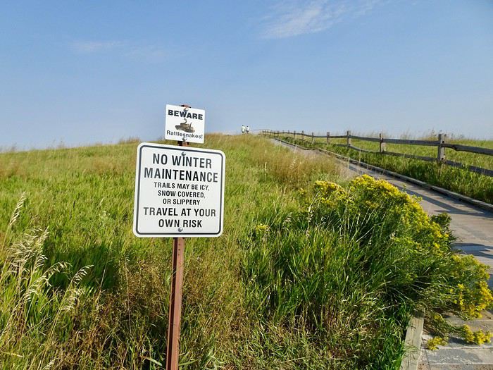
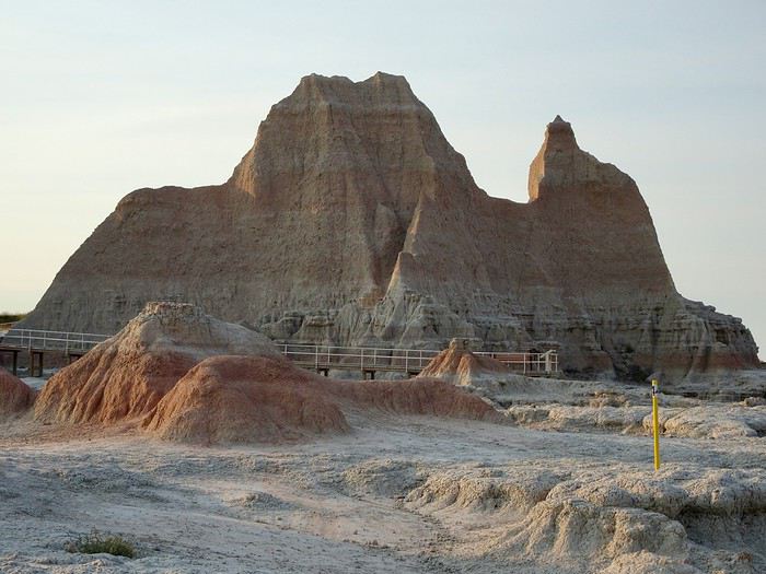
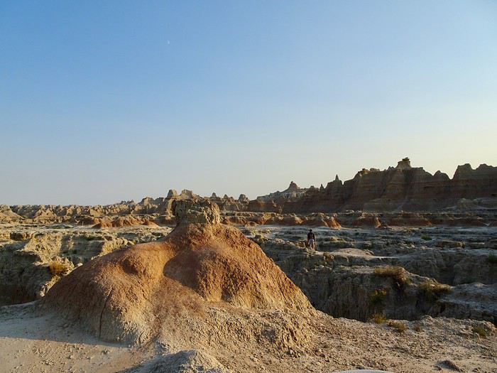
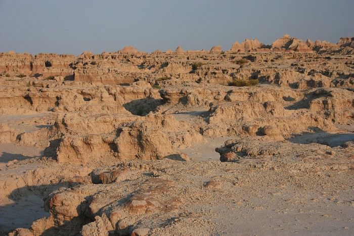
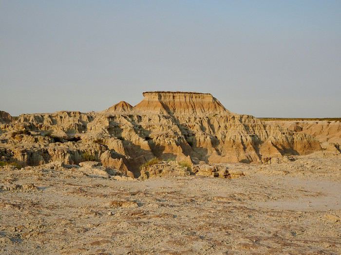
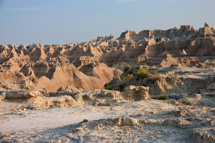
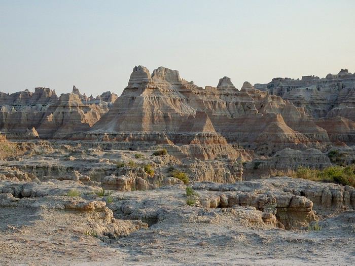
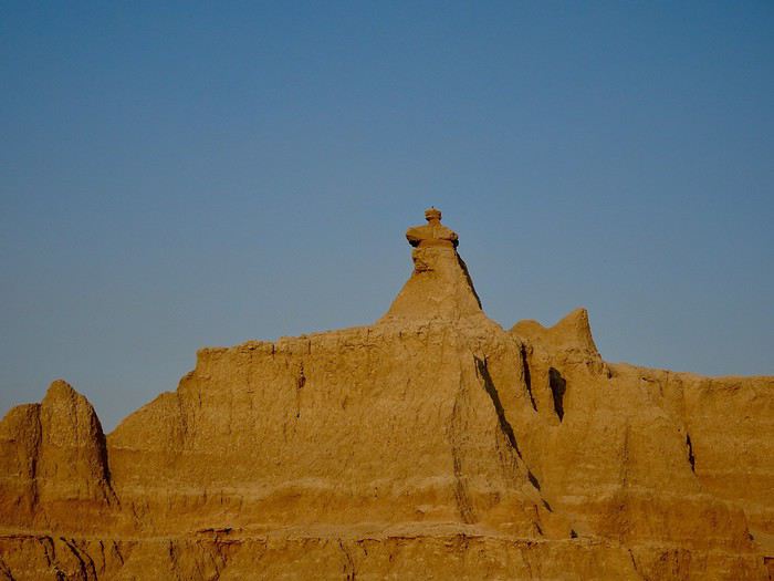
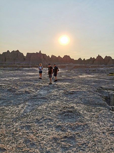
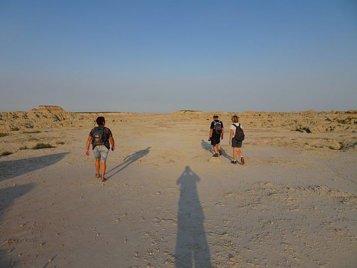
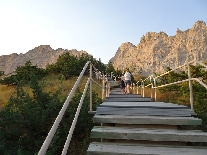
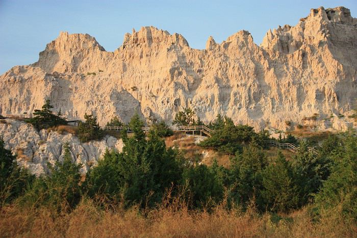
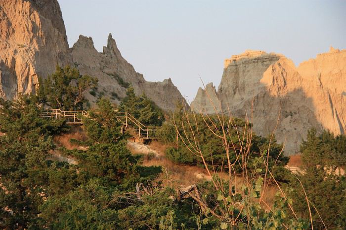
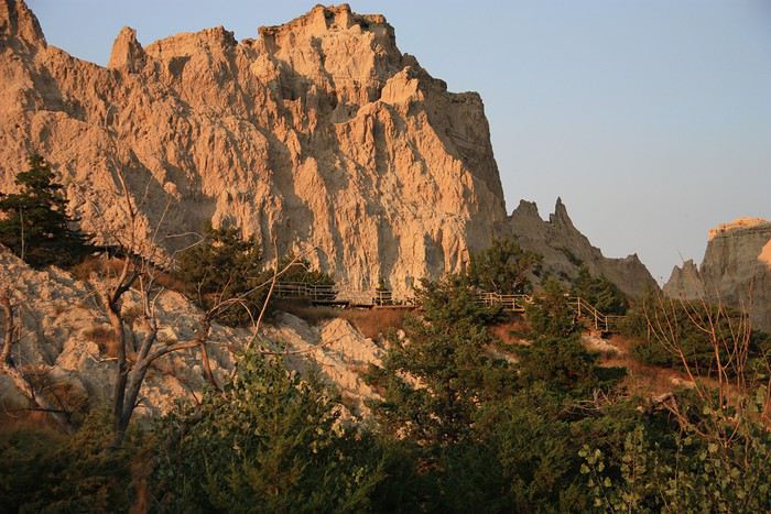

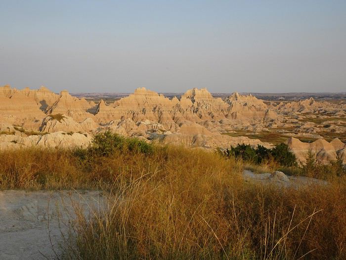
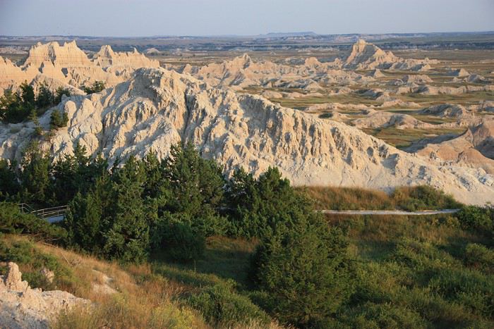
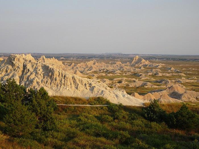
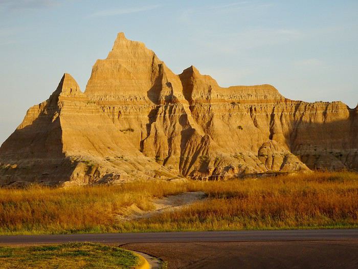
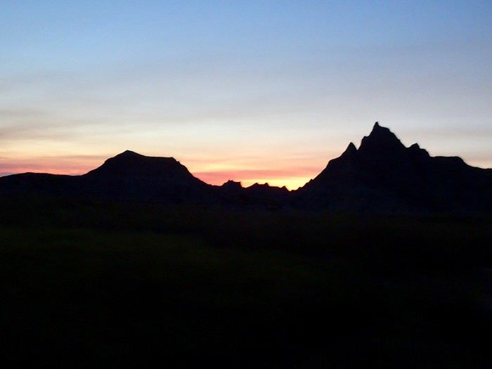 The rocks dressed in pink a little away from the point where it rises
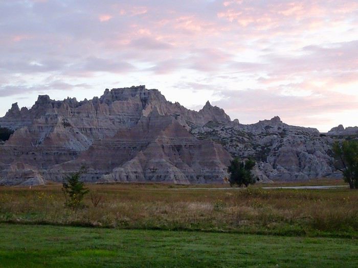 it’s coming
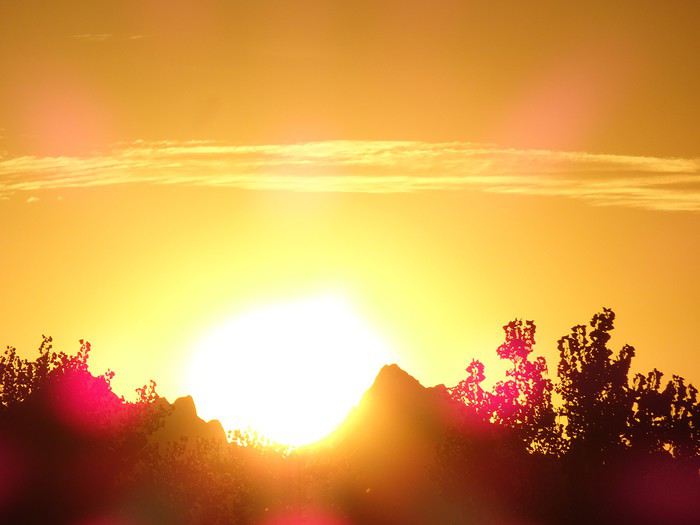
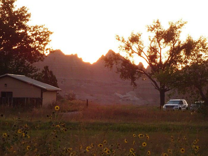 there it is

 Notch Trail
The start of this hike is also at the parking lot near the Visitor Center. It’s not difficult for those who aren’t afraid of heights, but between the ladder and the ledge, it might be tough for those who are.
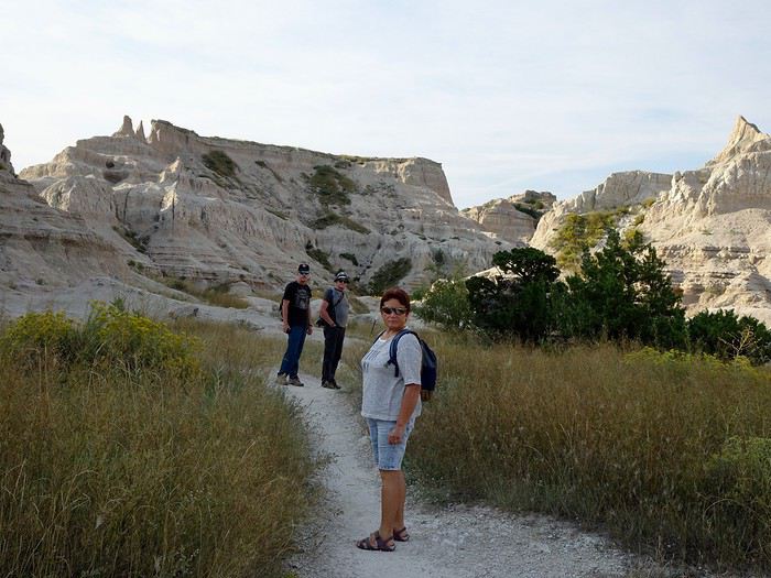
We start on flat ground in a canyon along a dried-up stream, framed by buttes halfway through.
Notch Trail
The start of this hike is also at the parking lot near the Visitor Center. It’s not difficult for those who aren’t afraid of heights, but between the ladder and the ledge, it might be tough for those who are.
We start on flat ground in a canyon along a dried-up stream, framed by buttes halfway through.
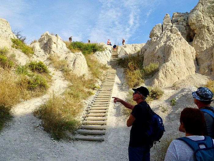
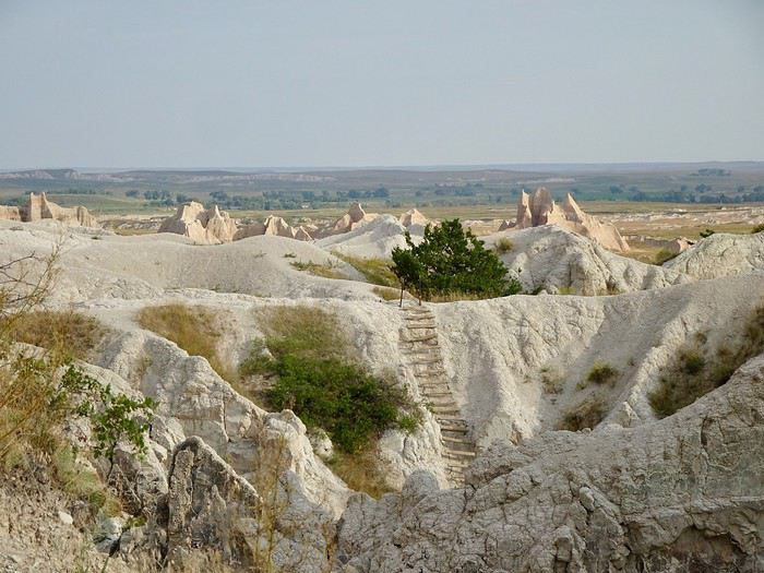
 We continue with a ladder made of wooden logs.
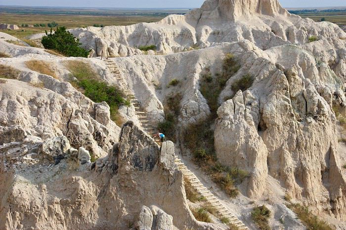
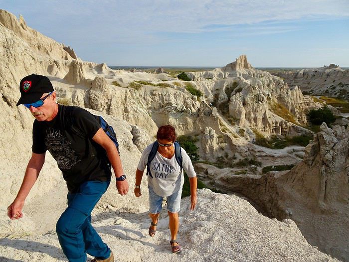
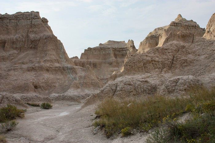
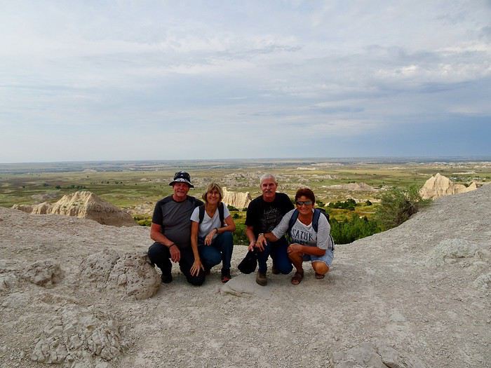
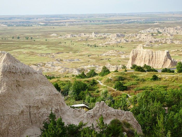
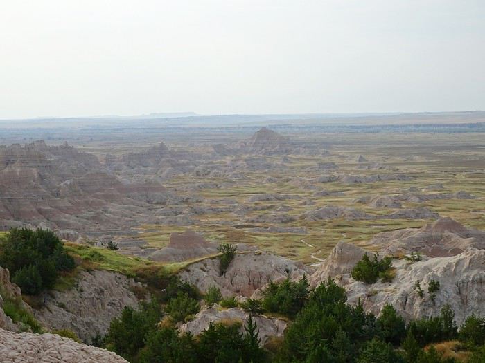 We wouldn’t want to leave this promontory.
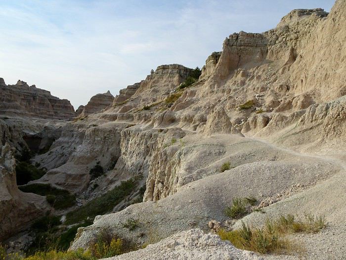
The descent was as easy as the climb, with some gorgeous viewpoints along the way.
We wouldn’t want to leave this promontory.
The descent was as easy as the climb, with some gorgeous viewpoints along the way.
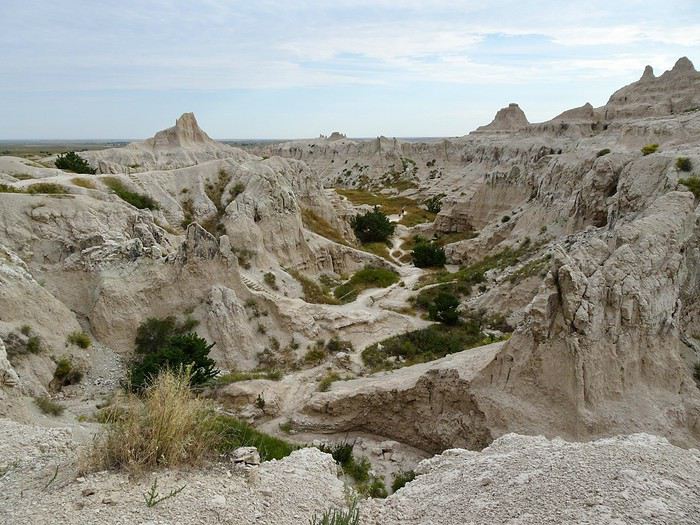

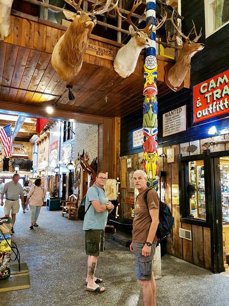
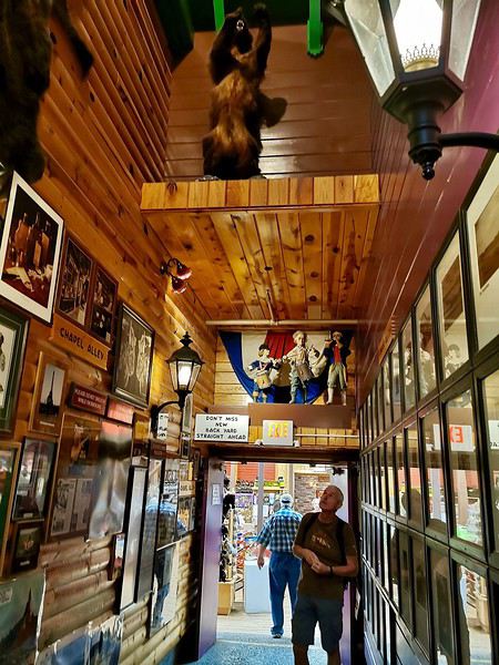
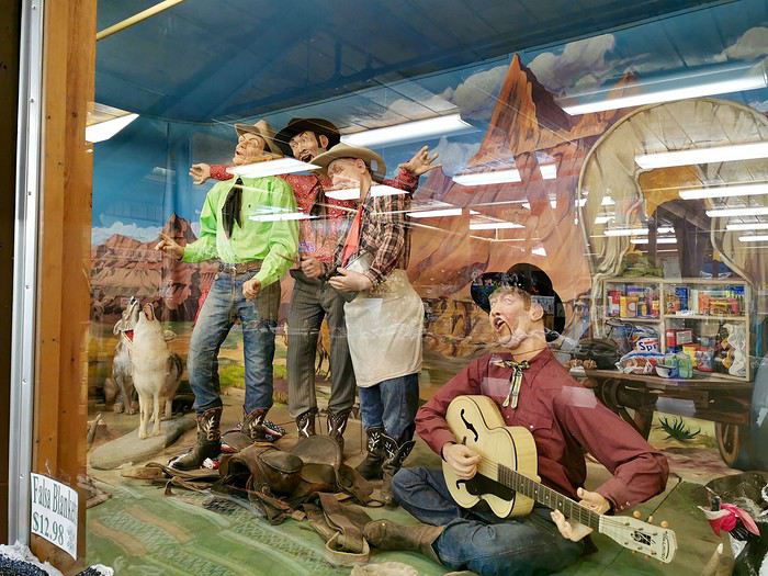
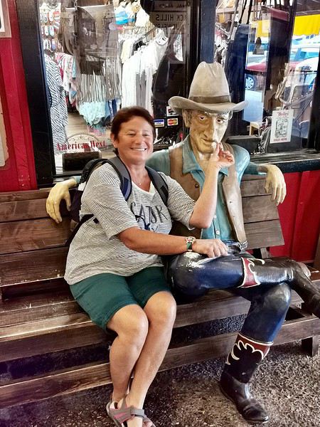
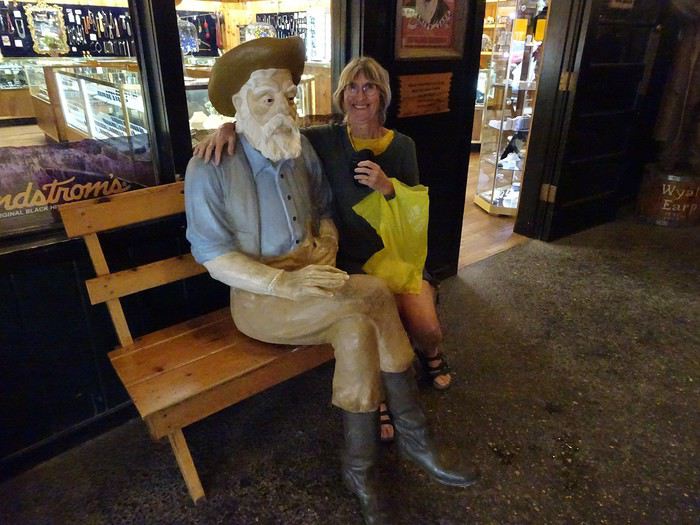
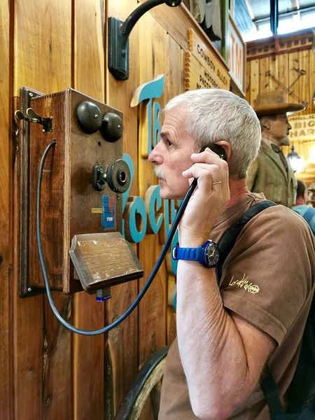
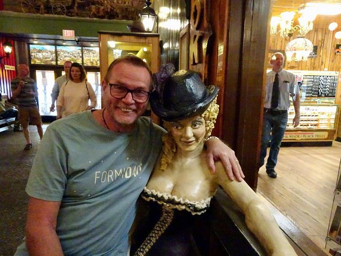 Or the old telephones.
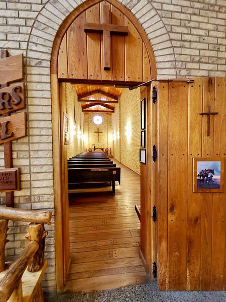
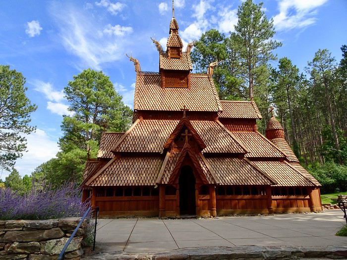
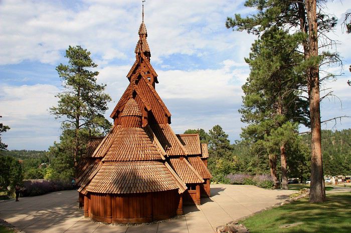
 There’s even a church!
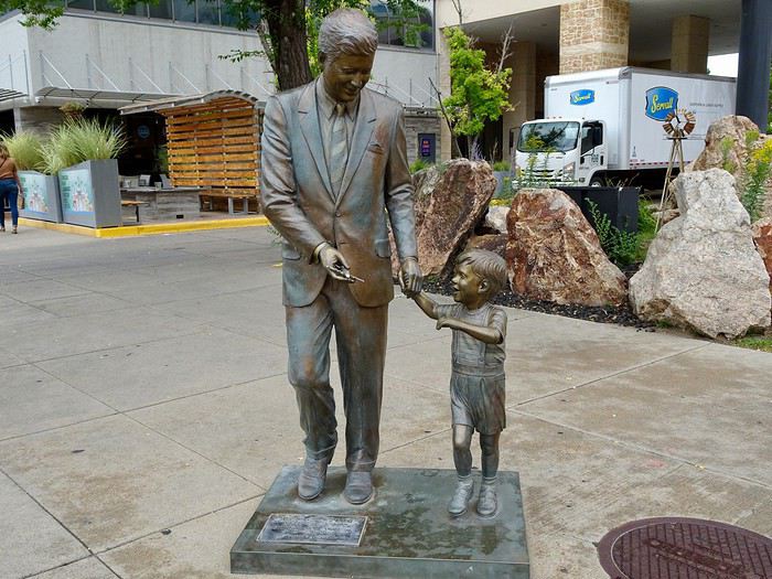
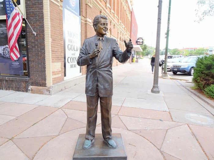
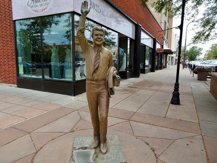
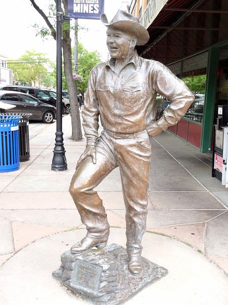

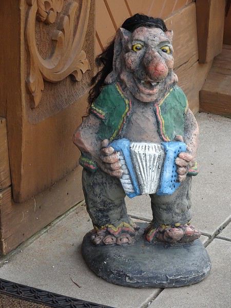 Deadwood
Mount Moriah Cemetery
For $2 per person for upkeep, you can visit the small historic cemetery on a hill at the entrance of the town, where the two infamous lovers Martha Jane Cannary (Calamity Jane) and James Butler Hickok (Wild Bill) are finally reunited for eternity, along with other notable celebrities of the Wild West.
Deadwood
Mount Moriah Cemetery
For $2 per person for upkeep, you can visit the small historic cemetery on a hill at the entrance of the town, where the two infamous lovers Martha Jane Cannary (Calamity Jane) and James Butler Hickok (Wild Bill) are finally reunited for eternity, along with other notable celebrities of the Wild West.
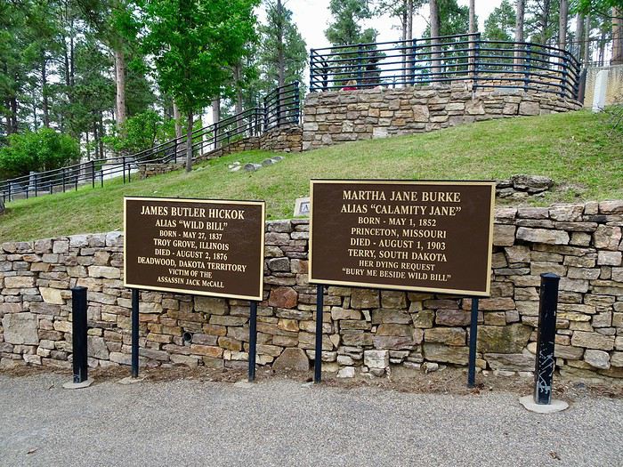
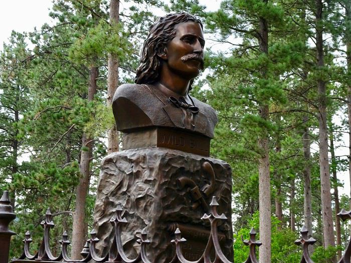
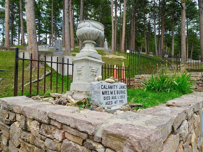
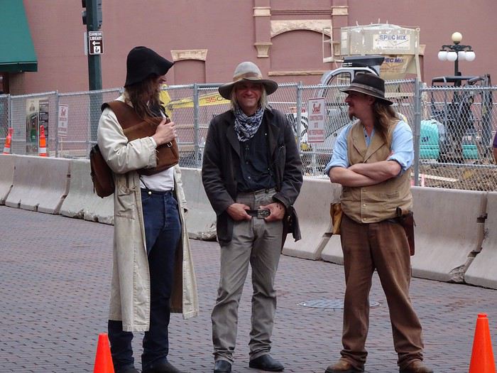
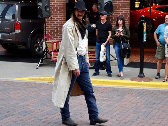
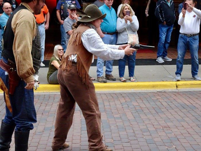
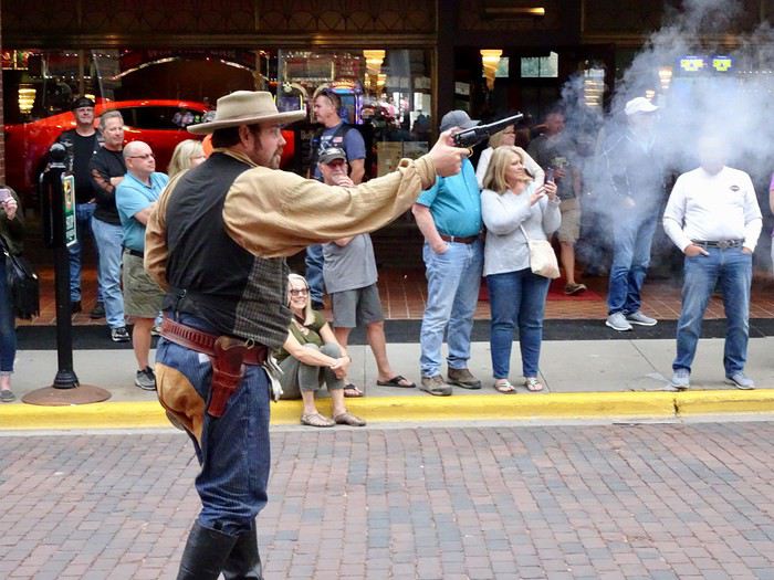
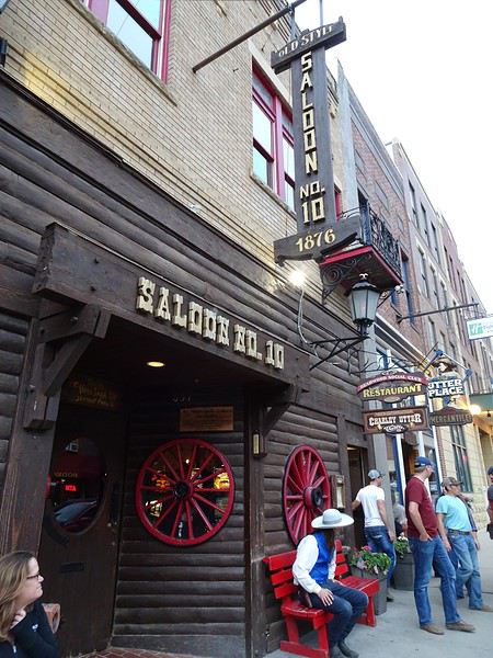
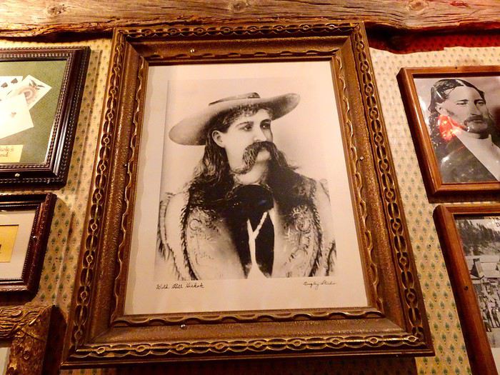
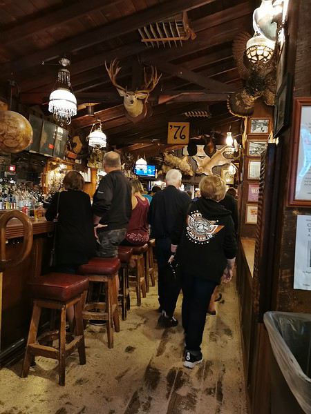
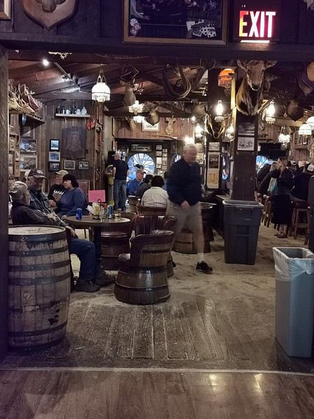
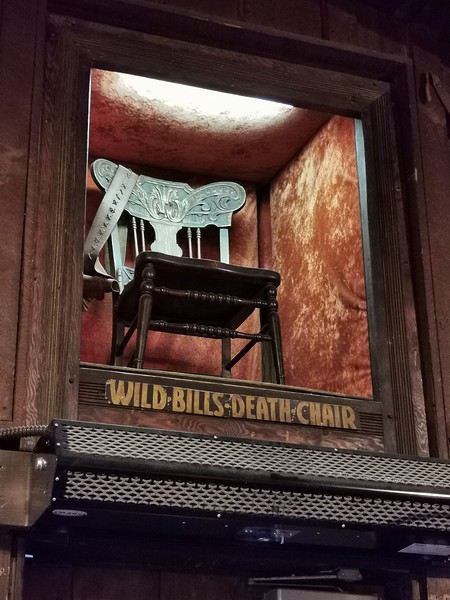
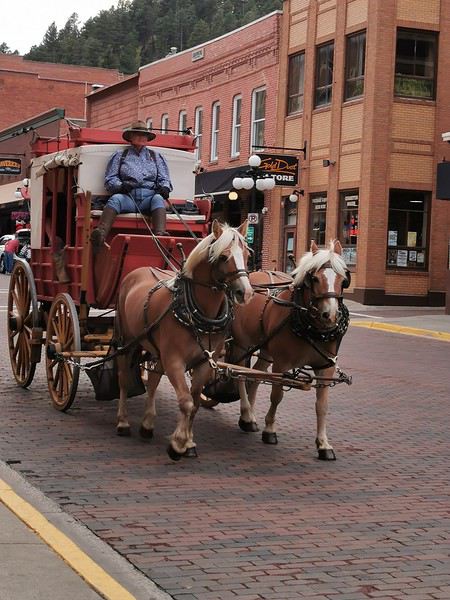
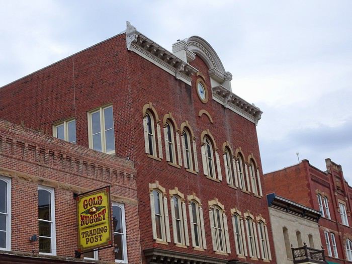 It’s exactly like the Westerns we watched as kids.
Great meal at the Buffalo Saloon ($117 for 2 beers, 2 steaks, and 2 bison burgers)
It’s exactly like the Westerns we watched as kids.
Great meal at the Buffalo Saloon ($117 for 2 beers, 2 steaks, and 2 bison burgers)
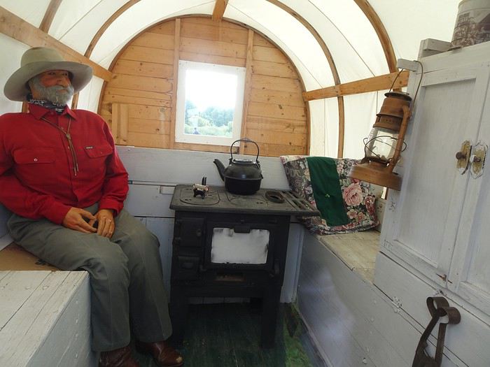 and inside—with lots of old objects (clothes, utensils, antique furniture), beautiful photos of pioneers, and explanatory panels.
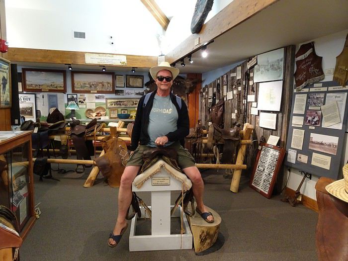
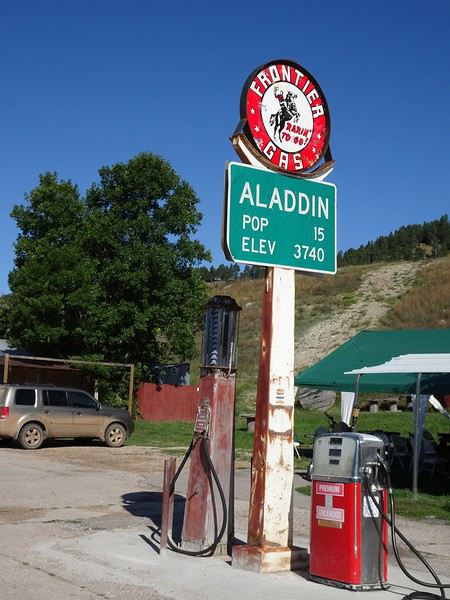
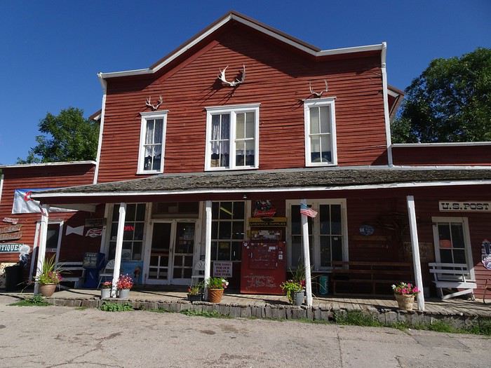 As soon as we push the door, we’re transported back in time!!! The stove, the phone, the fridge—everything is from the era and still works.
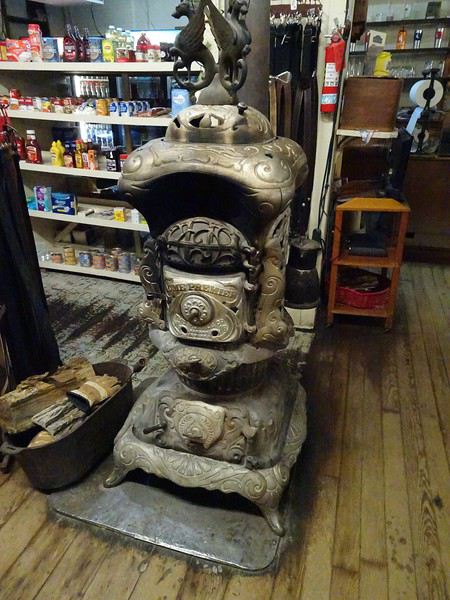
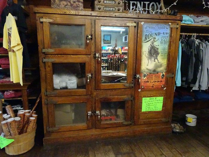
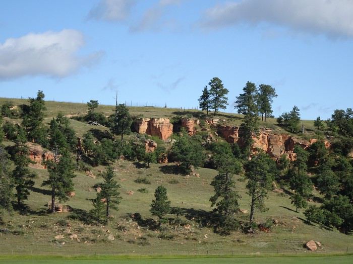
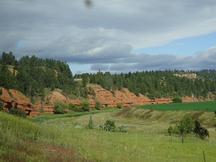
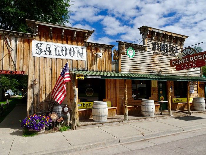 so we stroll through town with delight.
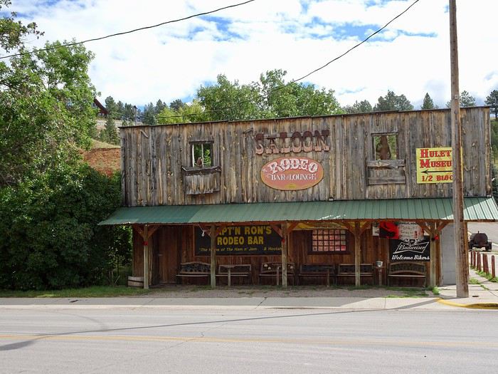
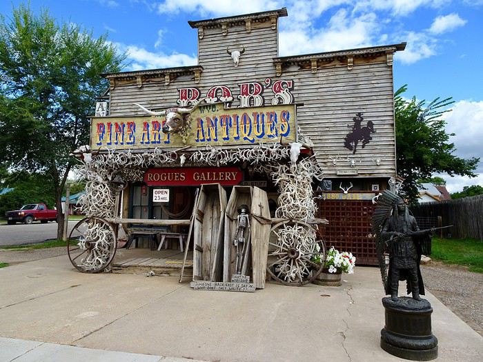
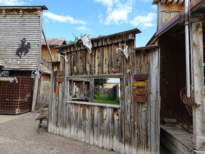
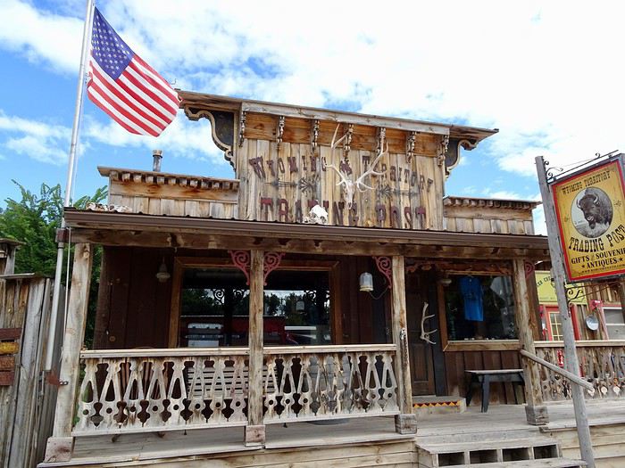
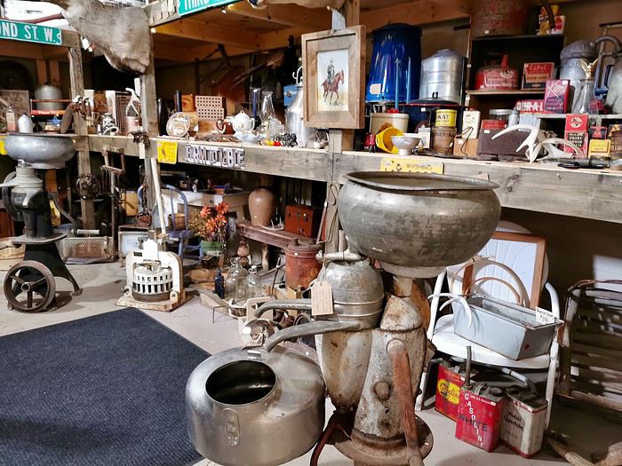
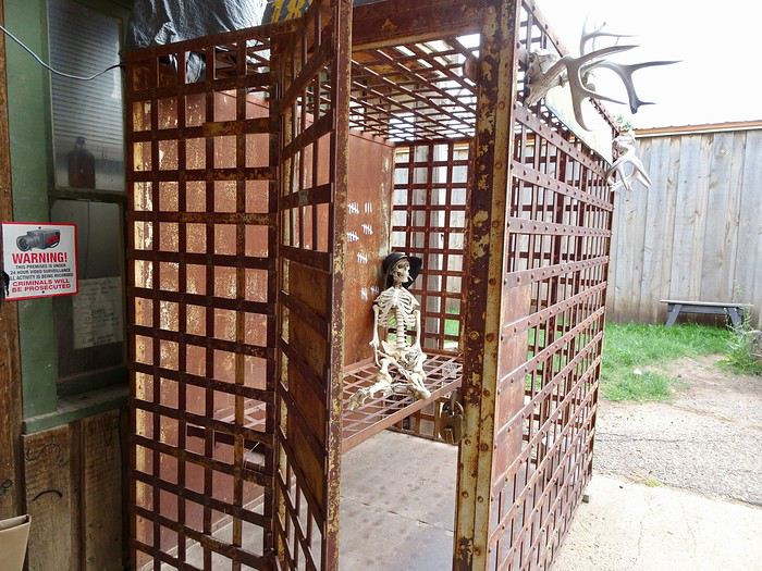 and instead of the closed Old West Museum, we go into an antique shop filled with treasures—perfect for us since we love old things!!!
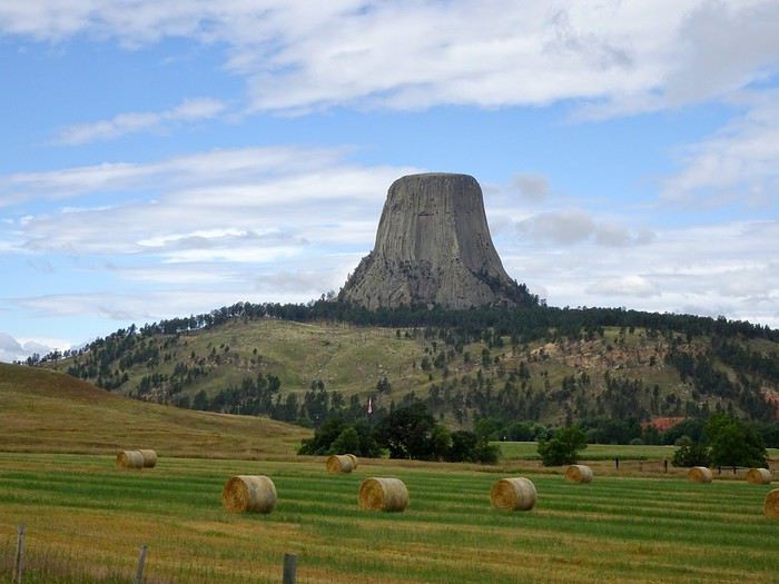
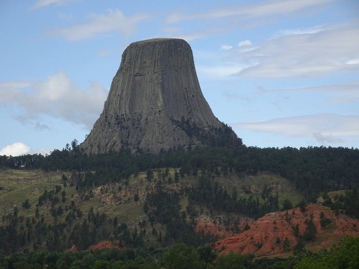
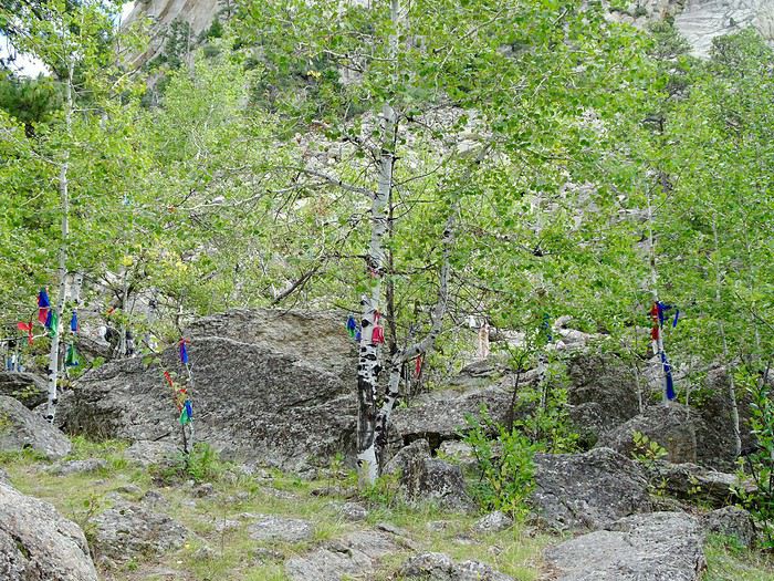

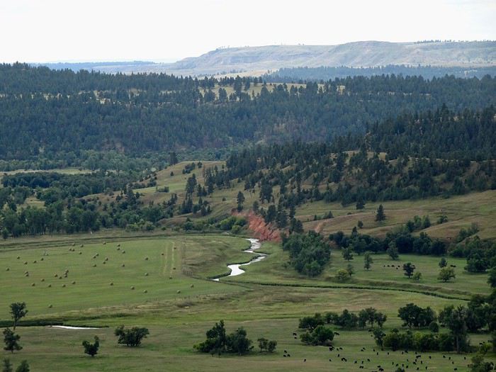
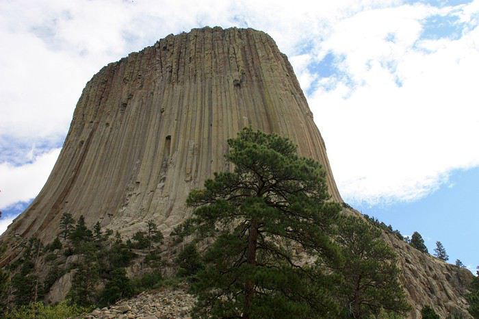 and leisurely walk around it, following a small trail that climbs quite a bit in places but is also well-shaded, giving us occasional beautiful views of the valley below.
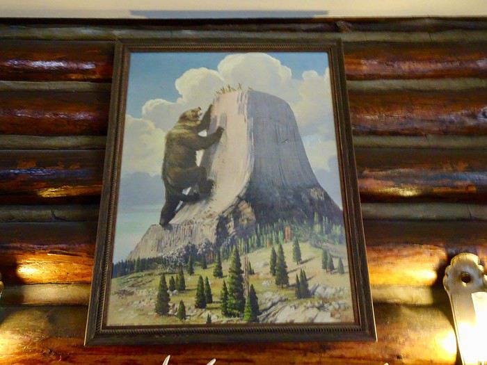
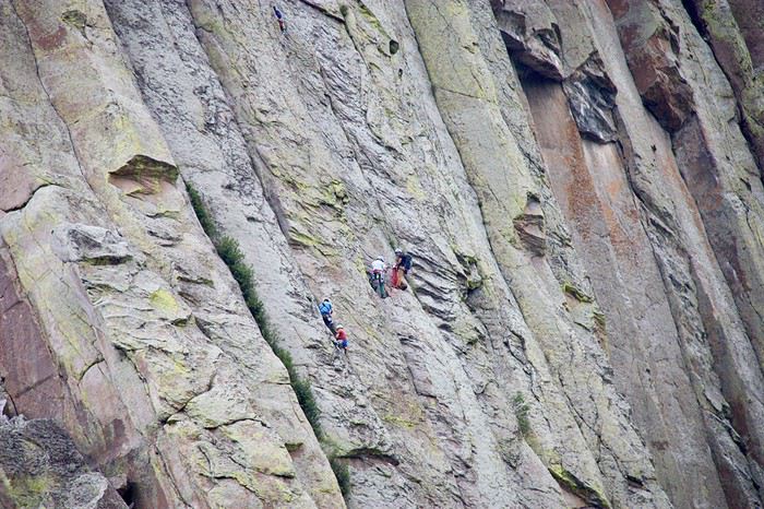 A quick stop at the visitor center, where we see a painting depicting the legend.
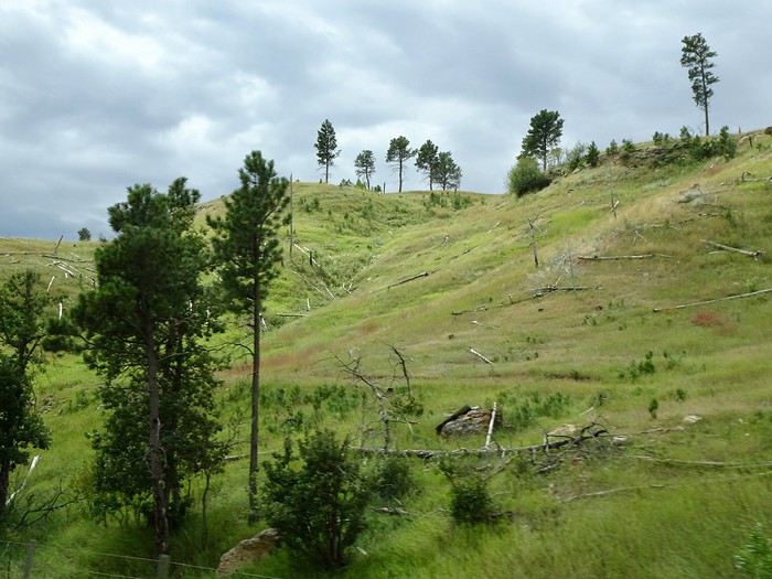 We follow the Keyhole Reservoir before driving on a dreary highway for a long stretch. After passing Buffalo, we take exit 44.
Fort Phil Kearny
A cold wind has picked up, and we run into this small museum ($5 per person) with its models of battles and the fort as they were in 1867, a small exhibit on Native Americans, soldiers, pioneers, and life at the fort, as well as a short film about the battles and those who took part. The welcome is excellent, and we’re delighted by the efforts of the woman who greets us to speak French.
This former military post was built in 1866 along with two others to protect the construction of the railroad and the wagon trains of pioneers following the Bozeman Trail from Fort Laramie to the goldfields of Montana, crossing lands given to the Plains Indians.
It first became the target of attacks by Sioux tribes defending their land. Later, led by Chief Red Cloud, other tribes joined forces to ambush the white invaders.
We follow the Keyhole Reservoir before driving on a dreary highway for a long stretch. After passing Buffalo, we take exit 44.
Fort Phil Kearny
A cold wind has picked up, and we run into this small museum ($5 per person) with its models of battles and the fort as they were in 1867, a small exhibit on Native Americans, soldiers, pioneers, and life at the fort, as well as a short film about the battles and those who took part. The welcome is excellent, and we’re delighted by the efforts of the woman who greets us to speak French.
This former military post was built in 1866 along with two others to protect the construction of the railroad and the wagon trains of pioneers following the Bozeman Trail from Fort Laramie to the goldfields of Montana, crossing lands given to the Plains Indians.
It first became the target of attacks by Sioux tribes defending their land. Later, led by Chief Red Cloud, other tribes joined forces to ambush the white invaders.
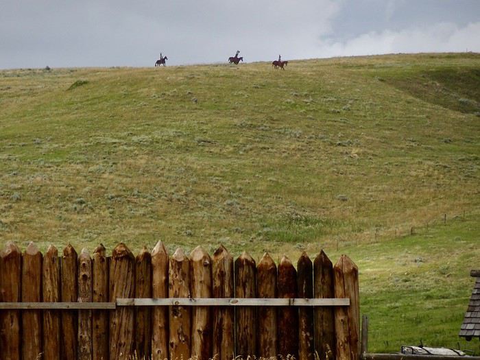 Their goal was to drive out the invaders, and they inflicted what became the greatest military disaster on the Great Plains (over 80 soldiers killed).
Shortly after this defeat, the land was returned to the Native Americans by treaty, which was later violated again after gold was discovered.
The army abandoned the forts protecting the Bozeman Trail in 1868, and they were eventually burned by the Native Americans.
There isn’t much left outside except reconstructed palisades
Their goal was to drive out the invaders, and they inflicted what became the greatest military disaster on the Great Plains (over 80 soldiers killed).
Shortly after this defeat, the land was returned to the Native Americans by treaty, which was later violated again after gold was discovered.
The army abandoned the forts protecting the Bozeman Trail in 1868, and they were eventually burned by the Native Americans.
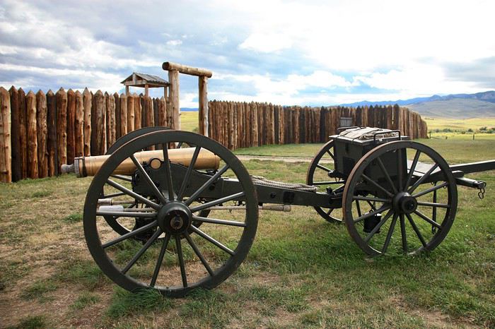
There isn’t much left outside except reconstructed palisades
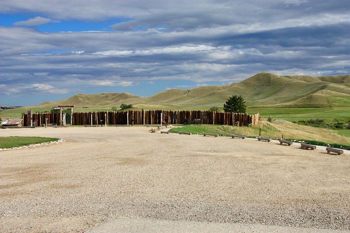
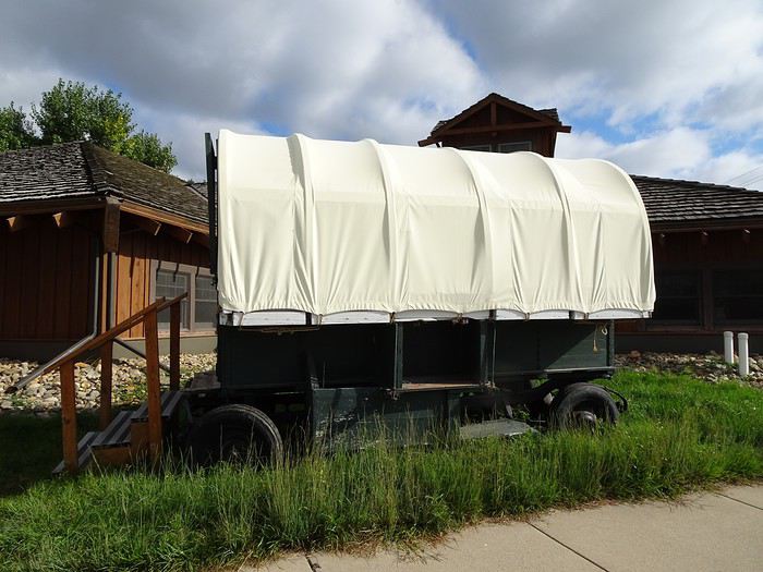
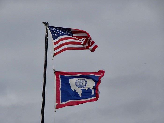
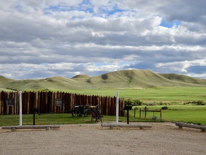 , a few wagons and cannons, and flags flying on the mast.
 But this place, steeped in history, leaves a deep impression on us.
We walk around the site of the original buildings.
But this place, steeped in history, leaves a deep impression on us.
We walk around the site of the original buildings.
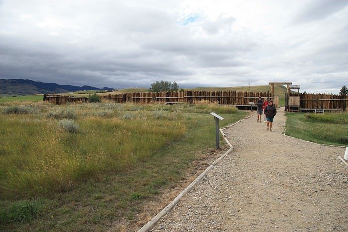 Once again, we feel the weight of everything that happened here, a place so full of history, and it’s hard not to think about those battles and, most of all, the people who lived through them.
A special light, half-shadow, half-sun, and those big gray clouds add even more intensity to the moment, and it’s with deep emotion that we get back in the car.
Once again, we feel the weight of everything that happened here, a place so full of history, and it’s hard not to think about those battles and, most of all, the people who lived through them.
A special light, half-shadow, half-sun, and those big gray clouds add even more intensity to the moment, and it’s with deep emotion that we get back in the car.

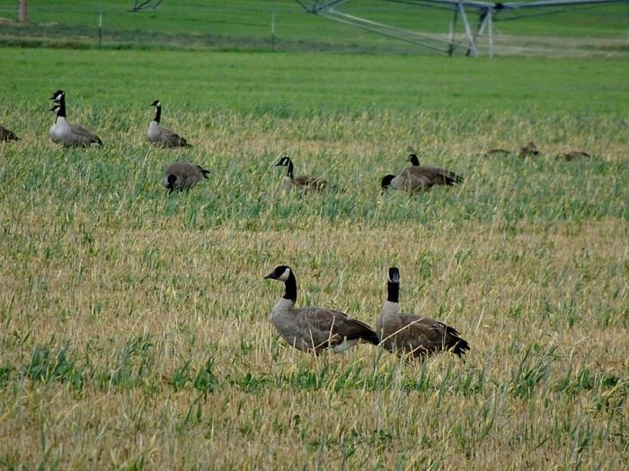
 And some wild geese (Canada geese?).


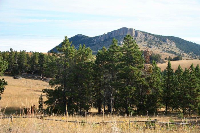
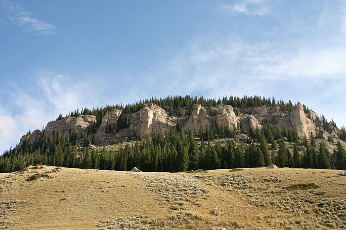
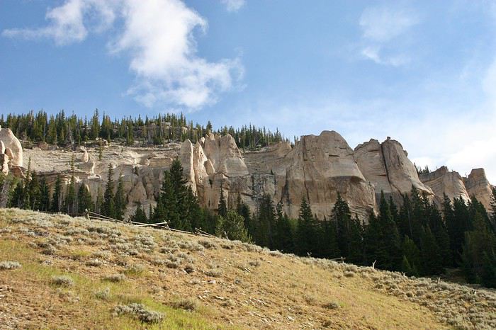
 They cross the road as they please.
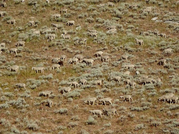
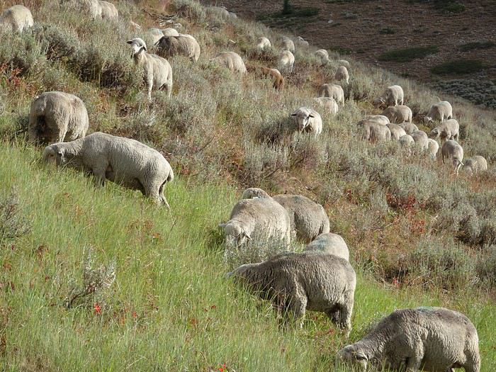
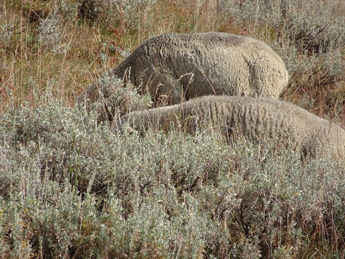
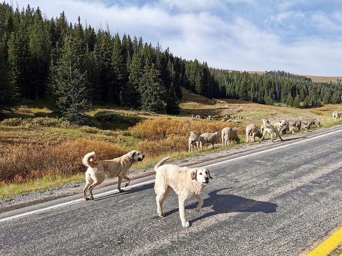
Another unforgettable memory: this flock, at over 2,800 meters, alone in the middle of nowhere, guarded only by three large Anatolian shepherd dogs that we pass carefully.
They cross the road as they please.
Another unforgettable memory: this flock, at over 2,800 meters, alone in the middle of nowhere, guarded only by three large Anatolian shepherd dogs that we pass carefully.
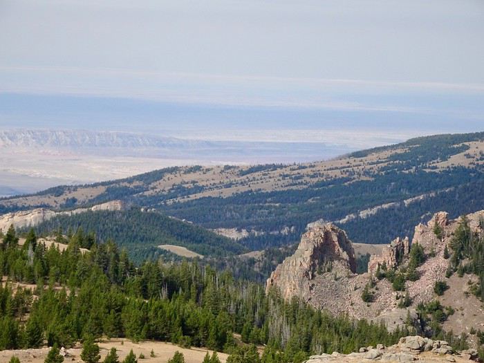

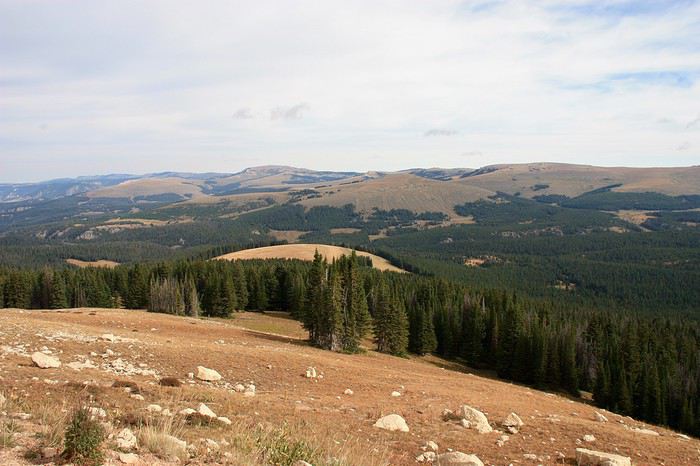
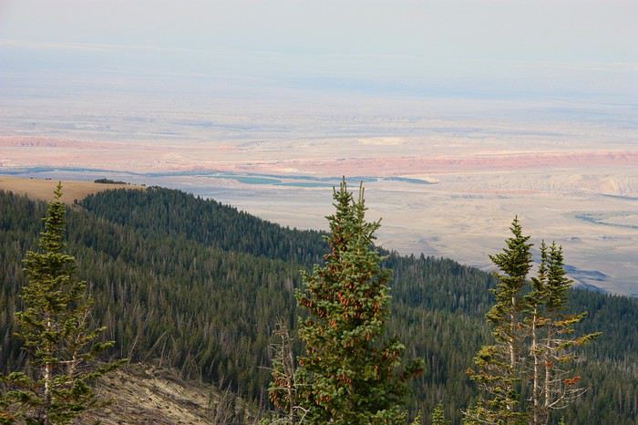

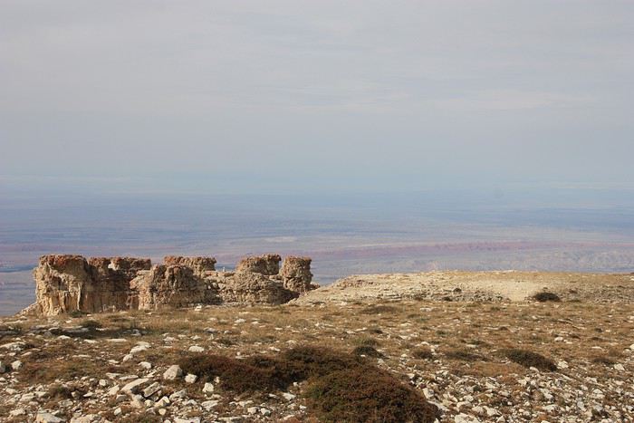

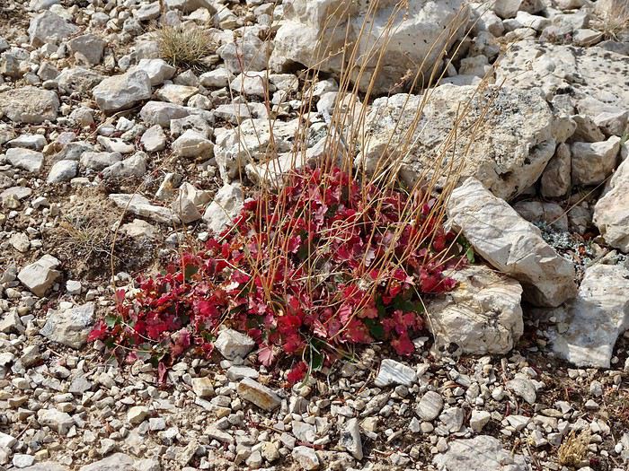
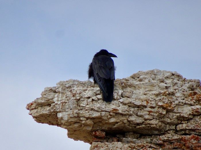
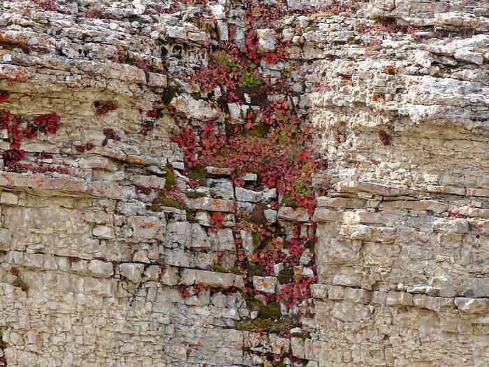 and a few scruffy ravens.
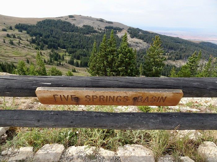 We hear the song of the wind in the pines!!! It’s magical!!!
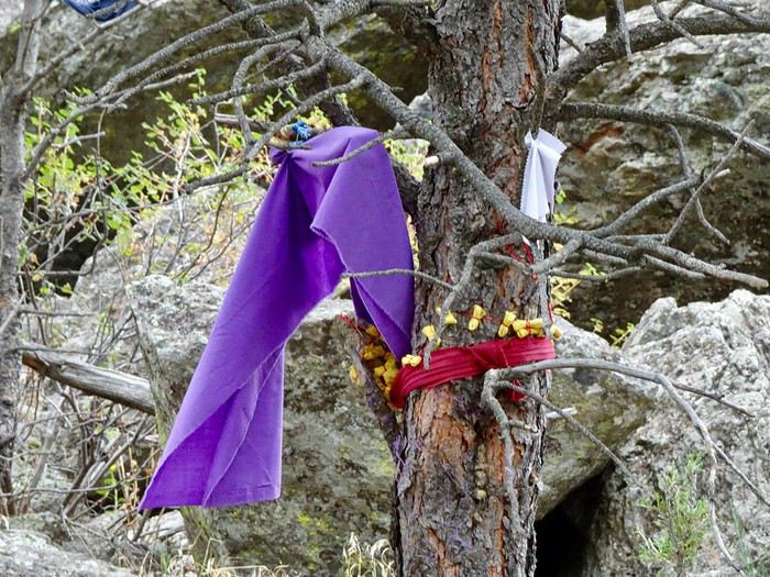
The wind??? Is it really the wind??? Maybe it’s the spirits of all the Native Americans who’ve passed through here over the centuries, trying to tell us their story.
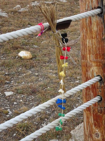
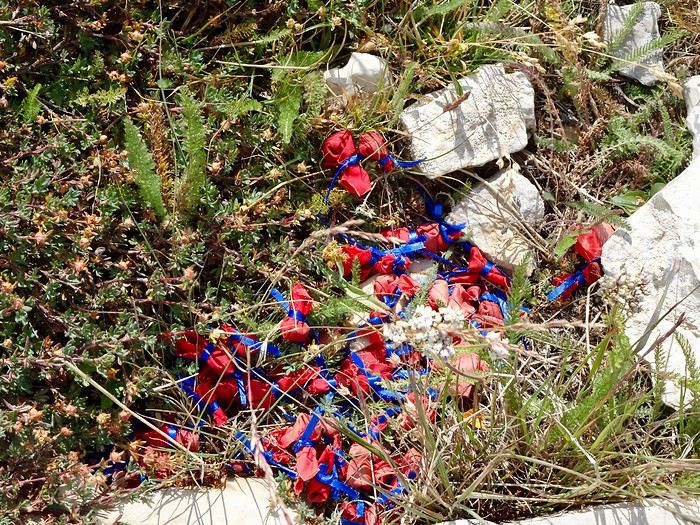
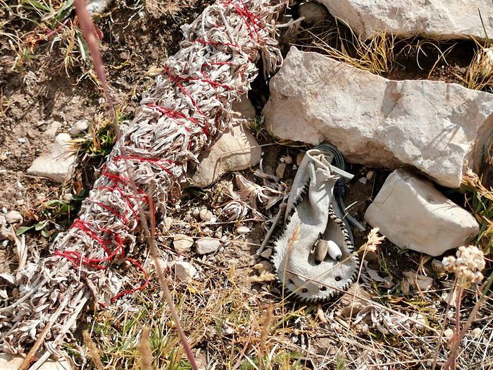
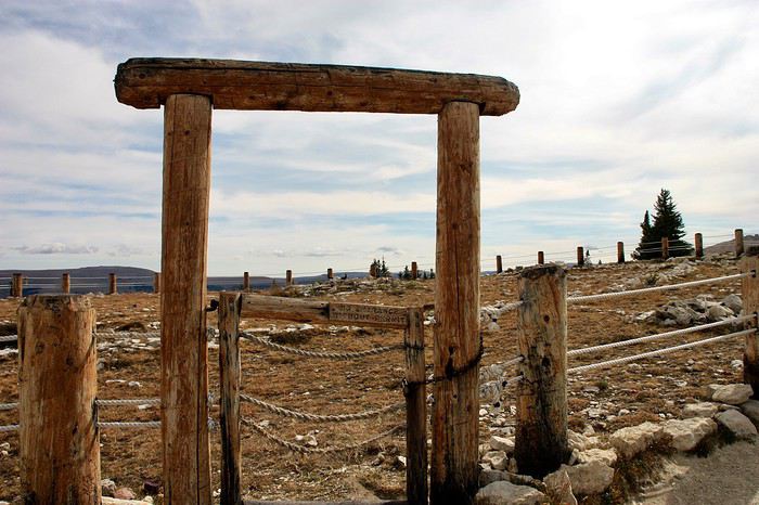
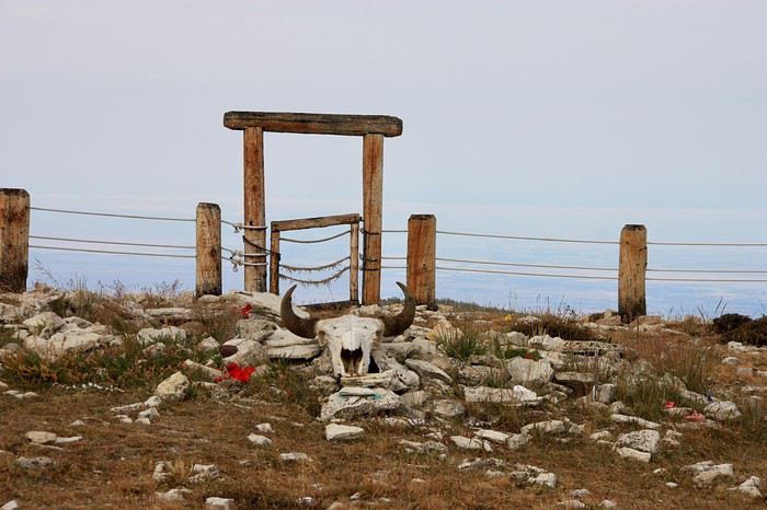
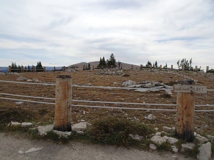
Once up there, we’re alone on this limestone plateau, buffeted by gusts. The site is so steeped in spirituality that, despite everything, it remains calm and peaceful, and a lot of emotion comes through when you think about the hopes of all those who’ve left offerings here.
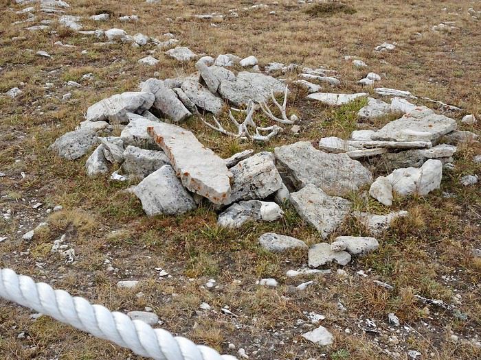
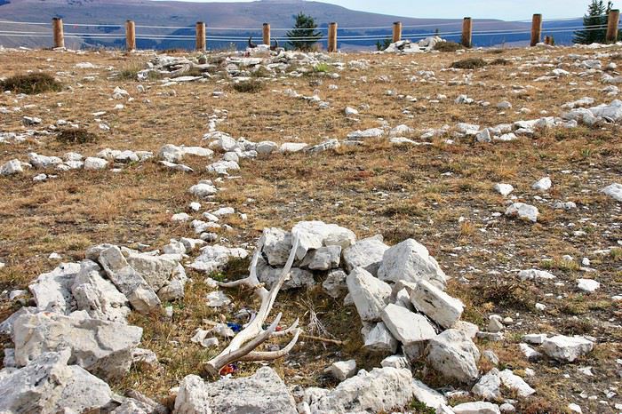
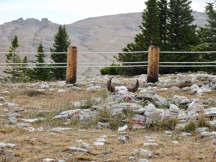
The circle was built by Native Americans using white rocks a long time ago.
We hear the song of the wind in the pines!!! It’s magical!!!
The wind??? Is it really the wind??? Maybe it’s the spirits of all the Native Americans who’ve passed through here over the centuries, trying to tell us their story.
Once up there, we’re alone on this limestone plateau, buffeted by gusts. The site is so steeped in spirituality that, despite everything, it remains calm and peaceful, and a lot of emotion comes through when you think about the hopes of all those who’ve left offerings here.
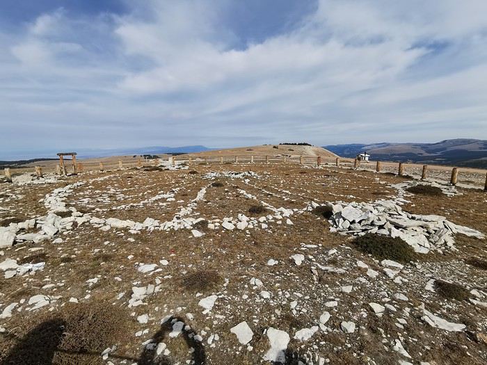
The circle was built by Native Americans using white rocks a long time ago.
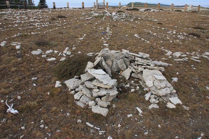
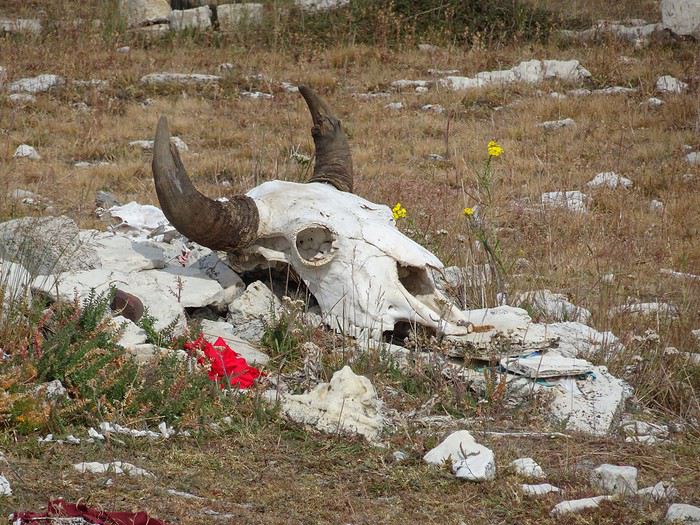
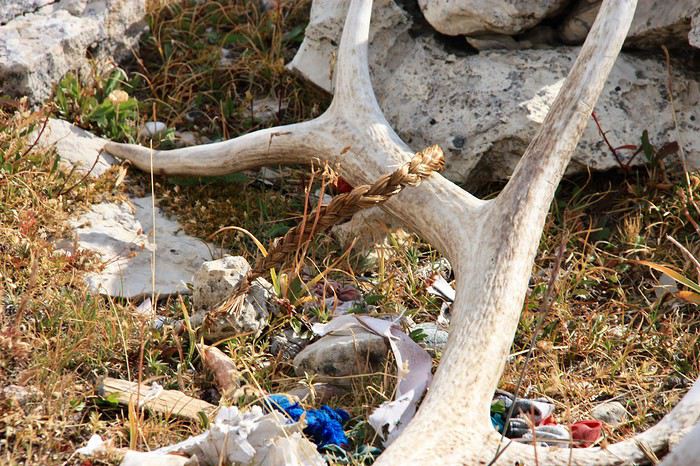
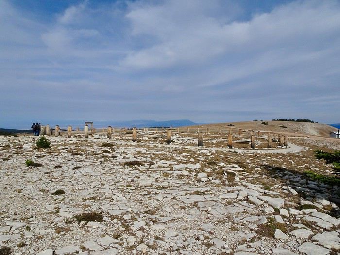 It’s a wheel about 25 m in diameter with 28 spokes radiating from a central cairn and 6 cairns arranged around it, where offerings for prayers are left (bison skulls, deer antlers, braids, feathers, fabrics, tiny little packets...).
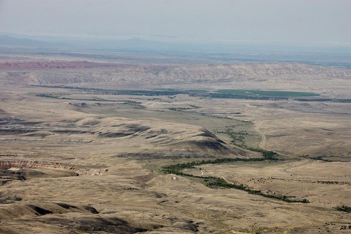 Still these desert landscapes made of rocks and a few trees.
This road literally runs along the folds of a small mountain range, squeezed between the void on one side and a rock wall on the other.
At the bottom of the pass, you can see the black rock mounds tinged with pink and green.
Still these desert landscapes made of rocks and a few trees.
This road literally runs along the folds of a small mountain range, squeezed between the void on one side and a rock wall on the other.
At the bottom of the pass, you can see the black rock mounds tinged with pink and green.
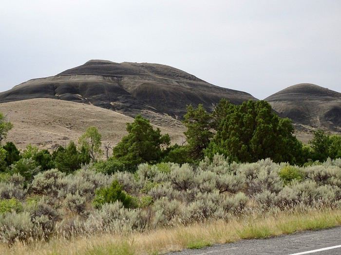
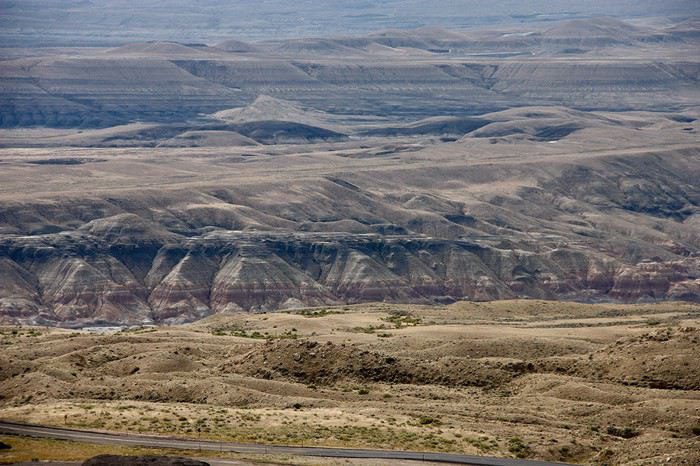 Hardly any vegetation except for a few trees following the bed of a small stream.
A small bridge lets us cross the Bighorn River, which flows into the huge lake of the same name.
It took us 40 minutes to reach the entrance of the Canyon, just before Lovel.
Horseshoe Bend
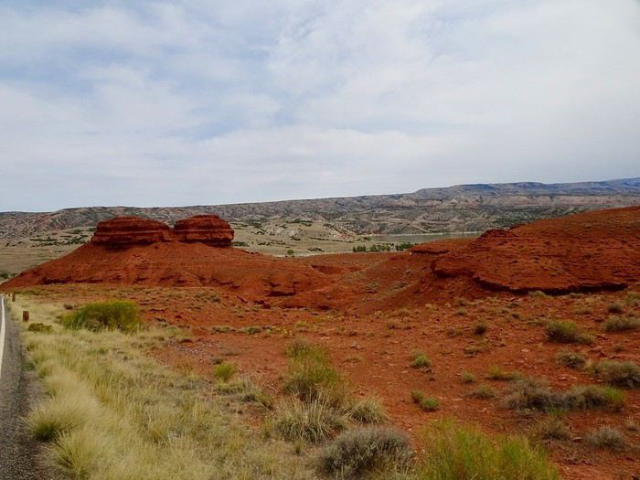
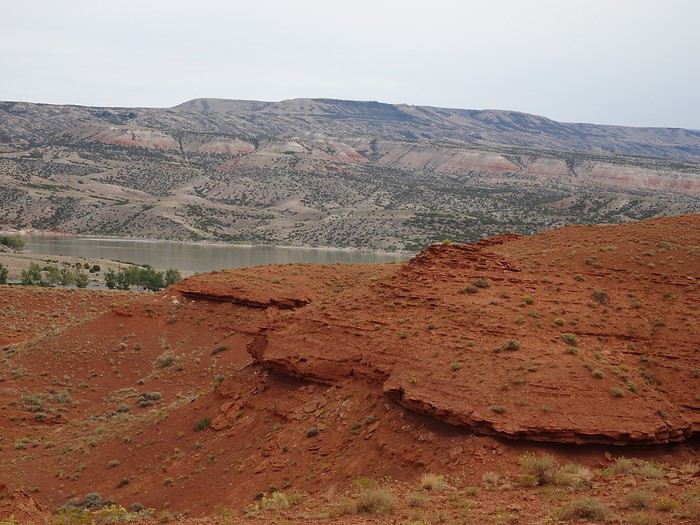
We drive through stunning red rocks on our way to grab a bite at the picnic area of the small marina with its boat launch zone.
Hardly any vegetation except for a few trees following the bed of a small stream.
A small bridge lets us cross the Bighorn River, which flows into the huge lake of the same name.
It took us 40 minutes to reach the entrance of the Canyon, just before Lovel.
Horseshoe Bend
We drive through stunning red rocks on our way to grab a bite at the picnic area of the small marina with its boat launch zone.
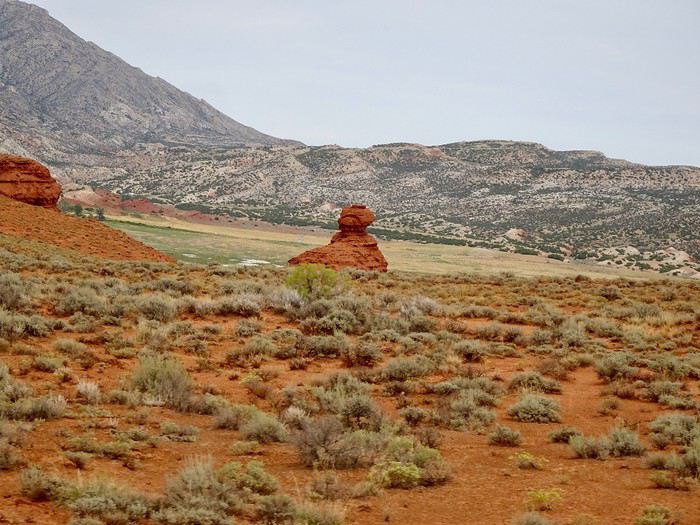
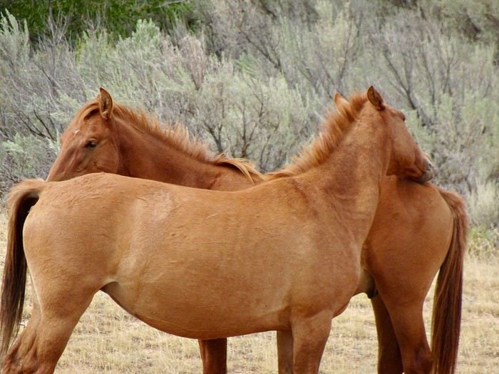
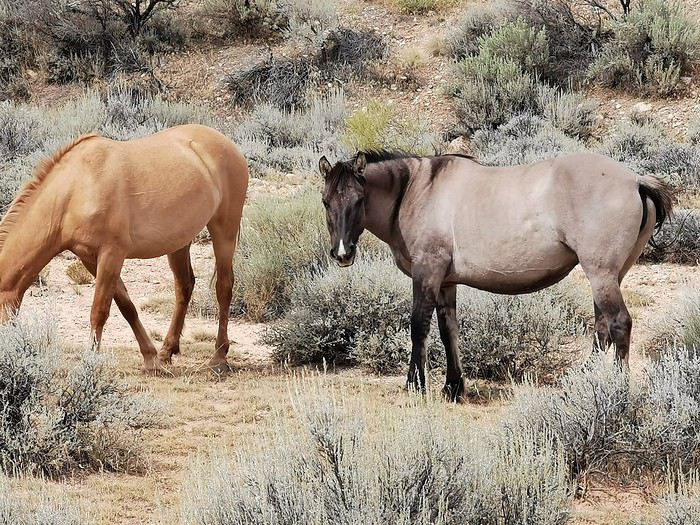
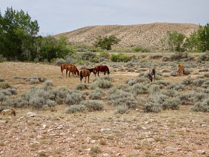 Peacefully grazing or enjoying their life as free horses!!!
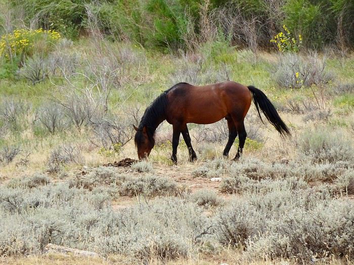
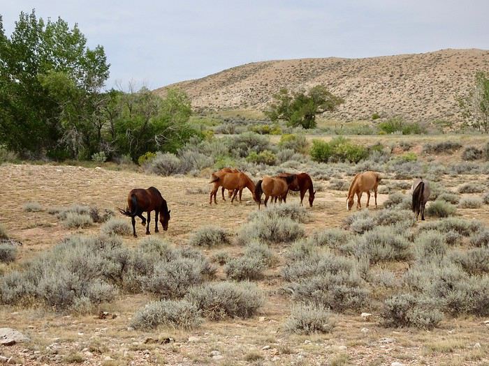
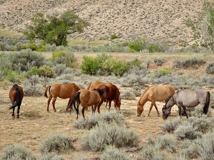
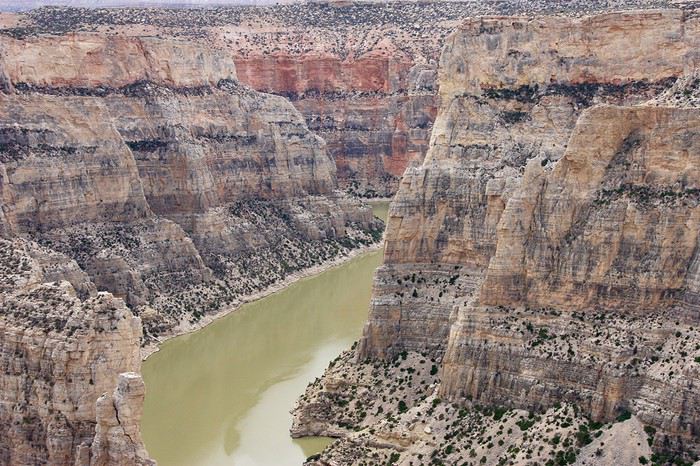
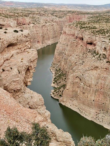
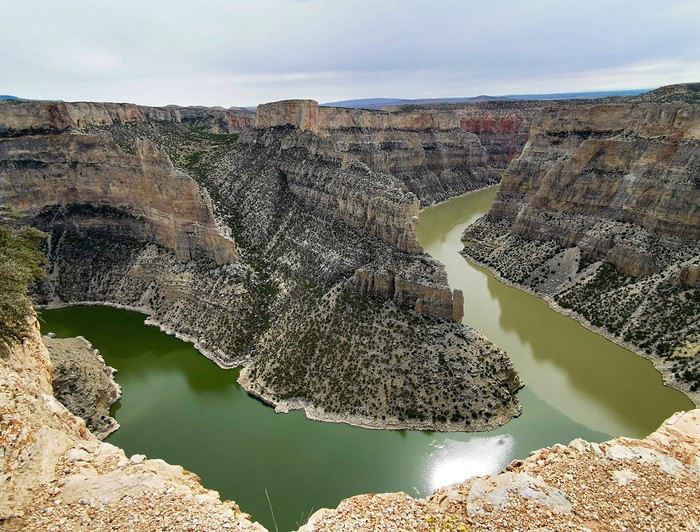 Several viewpoints offer a plunging view of this narrow, winding canyon.
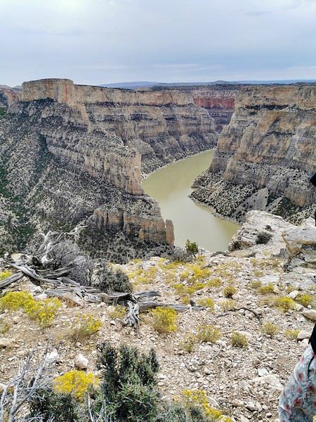
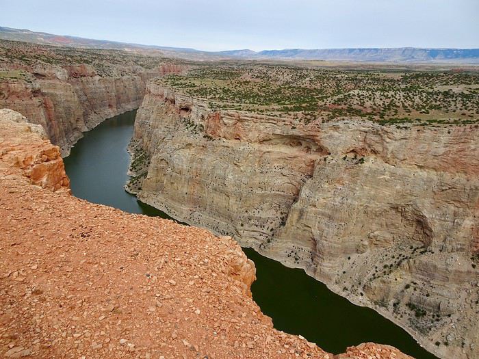 The panorama is once again breathtaking, with its towering, colorful stone walls.
 No problem, we’ll take shelter in the museum, especially since it’s Sunday and there are no street performances. We have time to stay until closing.
Buffalo Bill Historical Center: 720 Sheridan Avenue
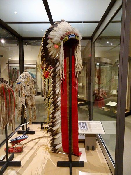
The parking lot is huge, and we easily find a spot. The ticket attendant asks if we want to return to the museum the next day. When we say no, she offers us a discount since the museum closes in two hours. We’ll pay $9.50 per person instead of the usual $19.50. What a nice lady!!!
No problem, we’ll take shelter in the museum, especially since it’s Sunday and there are no street performances. We have time to stay until closing.
Buffalo Bill Historical Center: 720 Sheridan Avenue
The parking lot is huge, and we easily find a spot. The ticket attendant asks if we want to return to the museum the next day. When we say no, she offers us a discount since the museum closes in two hours. We’ll pay $9.50 per person instead of the usual $19.50. What a nice lady!!!

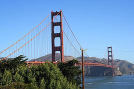

This travel journal is our second on VoyageForum, following last year’s where we recounted our four weeks in Vietnam.
The goal remains the same: since some members on this site share tips, experiences, and great deals that help us prepare for our trips, we do the same after returning—both to give back a little and in the hope that our experiences might be useful to others in some way.
Our route was as follows: Bangkok, Siem Reap, Krabi, Suratthani, Koh Phangan, Koh Tao, Chumphon, Bang Saphan, Prachuab Khiri Khan, Sam Roi Yod, Hua Hin, Phetchaburi, Bangkok.
Beyond rediscovering Bangkok, our objectives were the long-held dream of seeing Angkor and exploring southern Thailand, much of which isn’t overly touristy.
A quick big thank-you to Barbot, who took the time to answer several of our questions.
12/07/2013
The cheapest flight we found earlier this year was a Paris-Bangkok route with a layover in Moscow for 1440 €, total for two people. So, this time we tried Aeroflot. Airbus A318 for the first leg, A330 for the second. Nothing particularly annoying to report—the passengers were very calm, the cabin temperature was comfortable, and we had enough legroom. That said, the quality of the meal trays was pretty mediocre, and the flight attendants weren’t exactly comedians.
We’d like to remind everyone that it’s best to exchange as little money as possible at the airport upon arrival, since the rate is about 5% worse than at city banks.
Of course, we made sure to take the airport exit where you can catch official taxis to avoid getting scammed. So, we queued up, a little lady gave us the ticket, and off we went with the driver. Generally, this system works well because these drivers are registered, know their duties, and the risks they face if they break the rules. Except that day, right off the bat, we got the scammer of the day. His first move was to snatch the ticket from my wife’s hands—the one you’re supposed to keep in case of a complaint. My husband saw it, but after a full day of travel, we were a bit out of it, and honestly, there was no reason to be suspicious. But once we started driving, the guy refused to turn on the meter. We insisted more and more firmly, but nothing. So, I used the famous method of opening the door and starting to step out of the car. At 40 km/h, that scares the driver more than the passenger. He finally turned on the meter, but that didn’t calm him down—quite the opposite. For the next half-hour, he ruined the ride by demanding extra fees here and there. Having dealt with several scam attempts last year in Vietnam, this wasn’t exactly new, and we were proud of ourselves for staying pretty zen. Still, this guy was a little scary—he was completely wired and aggressive. Honestly, it was hard not to think he was on something. He’d be perfect for a *Scarface* remake. When we finally arrived at the hotel, he followed us to the entrance. We paid the two tolls (25 and 45 baht), gave him the usual 100 baht extra for the ride, and stayed polite but firm. So, meter: 245 baht + 100 baht + 25 and 45 baht for tolls—we paid the exact amount, no way we were tipping this guy. He left furious, but he was already like that before picking us up... Anyway, avoid Mr. Chartree Chidchen, number 089 826 7308, car E2663!
We were so relieved to finally settle in at Feung Nakorn Balcony hotel in the temple district. 42 € per night, great reception, all the staff is friendly. The AC works fine, the bed seemed hard at first but turned out to be comfortable. The hotel is quiet, away from the nightlife, but at this time of year, many places are less crowded than in high season. Even with a nice fish pond and outdoor breakfast area, it’s a decent hotel, though we felt we could’ve found something better.
After a night on the plane, the first afternoon is always a bit of a slog. We napped for a few hours, and when we woke up—guess what—we were starving. We visited a temple across from the hotel (nothing special) and then decided to take the Chao Phraya Express, the river shuttle that serves many piers along the river. It was a really enjoyable experience. The steel gangway wobbles when you board and disembark, the boat sits low in the water, and sometimes you get splashed. During peak times, you’re packed in like sardines, but most of all, there’s that exotic urban landscape passing by, especially the temple rooftops.
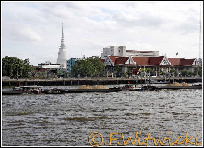
At that exact moment, the boat was packed. We didn’t see a ticket booth at the pier, and we tried in vain to pay the few baht for the ride. The cashier on the boat was too busy, and another employee we called didn’t have time to help us. Oh well, we weren’t going to force the issue. Still, this mode of transport is super practical for avoiding traffic, and at the piers, the lines with station names are clearly marked, with colors matching the flags on the boats. Combined with a map like the *Routard* guide, it’s easy to navigate.
We easily made it to the restaurant *Harmonique*, located near one of these piers. It’s a unanimous favorite on this forum, and let us tell you—it’s well-deserved. What a wonderful experience that evening! We only saw the outdoor gazebo because there was no way we were dining inside. It’s not flashy, so those looking for a luxurious setting should look elsewhere.
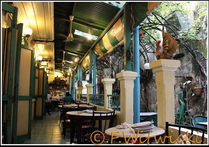
That night, the staff was a bit slow, and we had to track them down several times to move things along. But oh, my friends—what a feast on the plate! Start with the appetizer platter for two at 250 baht, featuring four specialties, each more tempting than the last, followed by their famous crab curry for 200 baht. There’s *so much* crab in there! The dish is so delicious and rich that when you finish, you feel—how to put it—like it was almost *too* good, to the point where you’re almost put off eating for days. And also, oh yes, we *will* be back. Their satay chicken is just as amazing, and it would be a crime not to mention their generous dessert with ice cream, warm banana, and chocolate, plus their *excellent* almond milkshake.
Later, we took a taxi to Kao San Road, mainly to book a Ko Tao-Chumphon trip for 600 baht per person at the Lomprayah counter. In hindsight, we should’ve booked all three of our trips there right away.
Kao San Road is *ultra*-touristy—better for younger crowds, but it’s still worth seeing. There’s rock ‘n’ roll, hippies, and crowds everywhere.
We walked back to the hotel, and when we got a little lost near a canal, a really nice older Thai man spontaneously appeared out of the night to kindly point us in the right direction.
Finally, a real long night of sleep ahead—we cranked up the AC. Sweet, the vacation has begun!
Our route was as follows: Bangkok, Siem Reap, Krabi, Suratthani, Koh Phangan, Koh Tao, Chumphon, Bang Saphan, Prachuab Khiri Khan, Sam Roi Yod, Hua Hin, Phetchaburi, Bangkok.
Beyond rediscovering Bangkok, our objectives were the long-held dream of seeing Angkor and exploring southern Thailand, much of which isn’t overly touristy.
A quick big thank-you to Barbot, who took the time to answer several of our questions.
12/07/2013
The cheapest flight we found earlier this year was a Paris-Bangkok route with a layover in Moscow for 1440 €, total for two people. So, this time we tried Aeroflot. Airbus A318 for the first leg, A330 for the second. Nothing particularly annoying to report—the passengers were very calm, the cabin temperature was comfortable, and we had enough legroom. That said, the quality of the meal trays was pretty mediocre, and the flight attendants weren’t exactly comedians.
We’d like to remind everyone that it’s best to exchange as little money as possible at the airport upon arrival, since the rate is about 5% worse than at city banks.
Of course, we made sure to take the airport exit where you can catch official taxis to avoid getting scammed. So, we queued up, a little lady gave us the ticket, and off we went with the driver. Generally, this system works well because these drivers are registered, know their duties, and the risks they face if they break the rules. Except that day, right off the bat, we got the scammer of the day. His first move was to snatch the ticket from my wife’s hands—the one you’re supposed to keep in case of a complaint. My husband saw it, but after a full day of travel, we were a bit out of it, and honestly, there was no reason to be suspicious. But once we started driving, the guy refused to turn on the meter. We insisted more and more firmly, but nothing. So, I used the famous method of opening the door and starting to step out of the car. At 40 km/h, that scares the driver more than the passenger. He finally turned on the meter, but that didn’t calm him down—quite the opposite. For the next half-hour, he ruined the ride by demanding extra fees here and there. Having dealt with several scam attempts last year in Vietnam, this wasn’t exactly new, and we were proud of ourselves for staying pretty zen. Still, this guy was a little scary—he was completely wired and aggressive. Honestly, it was hard not to think he was on something. He’d be perfect for a *Scarface* remake. When we finally arrived at the hotel, he followed us to the entrance. We paid the two tolls (25 and 45 baht), gave him the usual 100 baht extra for the ride, and stayed polite but firm. So, meter: 245 baht + 100 baht + 25 and 45 baht for tolls—we paid the exact amount, no way we were tipping this guy. He left furious, but he was already like that before picking us up... Anyway, avoid Mr. Chartree Chidchen, number 089 826 7308, car E2663!
We were so relieved to finally settle in at Feung Nakorn Balcony hotel in the temple district. 42 € per night, great reception, all the staff is friendly. The AC works fine, the bed seemed hard at first but turned out to be comfortable. The hotel is quiet, away from the nightlife, but at this time of year, many places are less crowded than in high season. Even with a nice fish pond and outdoor breakfast area, it’s a decent hotel, though we felt we could’ve found something better.
After a night on the plane, the first afternoon is always a bit of a slog. We napped for a few hours, and when we woke up—guess what—we were starving. We visited a temple across from the hotel (nothing special) and then decided to take the Chao Phraya Express, the river shuttle that serves many piers along the river. It was a really enjoyable experience. The steel gangway wobbles when you board and disembark, the boat sits low in the water, and sometimes you get splashed. During peak times, you’re packed in like sardines, but most of all, there’s that exotic urban landscape passing by, especially the temple rooftops.
At that exact moment, the boat was packed. We didn’t see a ticket booth at the pier, and we tried in vain to pay the few baht for the ride. The cashier on the boat was too busy, and another employee we called didn’t have time to help us. Oh well, we weren’t going to force the issue. Still, this mode of transport is super practical for avoiding traffic, and at the piers, the lines with station names are clearly marked, with colors matching the flags on the boats. Combined with a map like the *Routard* guide, it’s easy to navigate.
We easily made it to the restaurant *Harmonique*, located near one of these piers. It’s a unanimous favorite on this forum, and let us tell you—it’s well-deserved. What a wonderful experience that evening! We only saw the outdoor gazebo because there was no way we were dining inside. It’s not flashy, so those looking for a luxurious setting should look elsewhere.
That night, the staff was a bit slow, and we had to track them down several times to move things along. But oh, my friends—what a feast on the plate! Start with the appetizer platter for two at 250 baht, featuring four specialties, each more tempting than the last, followed by their famous crab curry for 200 baht. There’s *so much* crab in there! The dish is so delicious and rich that when you finish, you feel—how to put it—like it was almost *too* good, to the point where you’re almost put off eating for days. And also, oh yes, we *will* be back. Their satay chicken is just as amazing, and it would be a crime not to mention their generous dessert with ice cream, warm banana, and chocolate, plus their *excellent* almond milkshake.
Later, we took a taxi to Kao San Road, mainly to book a Ko Tao-Chumphon trip for 600 baht per person at the Lomprayah counter. In hindsight, we should’ve booked all three of our trips there right away.
Kao San Road is *ultra*-touristy—better for younger crowds, but it’s still worth seeing. There’s rock ‘n’ roll, hippies, and crowds everywhere.
We walked back to the hotel, and when we got a little lost near a canal, a really nice older Thai man spontaneously appeared out of the night to kindly point us in the right direction.
Finally, a real long night of sleep ahead—we cranked up the AC. Sweet, the vacation has begun!



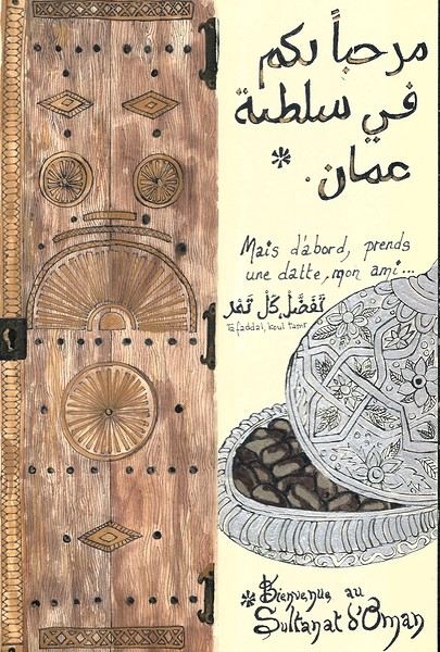 On the right, the "welcome marker"—those dates offered everywhere as a sign of hospitality. On the left, a tribute to those stunning doors worn by time, admired all over the old quarters, including the abandoned ones.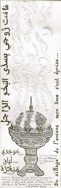
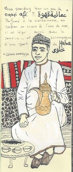 Hospitality will often lead you to accept a small coffee, an "Omani coffee," very light, subtly flavored with cardamom, maybe a touch of saffron, and occasionally rosewater.
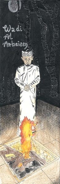
Here, I’ve depicted a man in the common everyday attire of Omanis: the dishdasha, mostly white (during the week and daytime; colors are more common in the evening or on Fridays and Saturdays). While you’ll see some men dressed in Western clothes, they’re very few. The white dishdasha is truly the shared attire of all men. The dishdasha, which has no hood, is distinguished by a small pom-pom attached to the collar, the furakha, which is soaked in perfume. And believe me, Omanis go overboard with it! "It smells like the pom-pom" is an expression that’s now part of our shared language, my husband and I.
Another must of men’s attire is the kuma, a small round head covering, usually white with brightly colored patterns. The keffiyeh is also worn (but without the cord called an agal in Arab countries), and it’s mostly worn by those with roots in the desert, from what I understood.
And what about the women, you might ask? Some are veiled, some in full black (but not a burka—more like a chador + abaya), due to the influence of Saudi Arabia and the United Arab Emirates, whereas the traditional outfit used to be a layering of very colorful dresses. Most of the women we saw wore neutral clothing, a plain veil over their hair, but with their faces uncovered. We also saw many saris and colorful veils—don’t forget that 40% of the population consists of Indian, Nepalese, and Bangladeshi immigrants, who work a lot in tourism, hospitality, restaurants, services, and construction.
Just to clarify, as a tourist, there’s no pressure to wear a veil, and never any disapproving looks. Of course, you’ll save the mini shorts, plunging necklines, bare shoulders, and midriffs for the hotel terrace—but I’d say that’s the same for men and women, and with the sun being strong, it’s better for your skin too.
Here’s the introduction! In the next post, I’ll tell you about my itinerary, and we can dive in!
Hospitality will often lead you to accept a small coffee, an "Omani coffee," very light, subtly flavored with cardamom, maybe a touch of saffron, and occasionally rosewater.
Here, I’ve depicted a man in the common everyday attire of Omanis: the dishdasha, mostly white (during the week and daytime; colors are more common in the evening or on Fridays and Saturdays). While you’ll see some men dressed in Western clothes, they’re very few. The white dishdasha is truly the shared attire of all men. The dishdasha, which has no hood, is distinguished by a small pom-pom attached to the collar, the furakha, which is soaked in perfume. And believe me, Omanis go overboard with it! "It smells like the pom-pom" is an expression that’s now part of our shared language, my husband and I.
Another must of men’s attire is the kuma, a small round head covering, usually white with brightly colored patterns. The keffiyeh is also worn (but without the cord called an agal in Arab countries), and it’s mostly worn by those with roots in the desert, from what I understood.
And what about the women, you might ask? Some are veiled, some in full black (but not a burka—more like a chador + abaya), due to the influence of Saudi Arabia and the United Arab Emirates, whereas the traditional outfit used to be a layering of very colorful dresses. Most of the women we saw wore neutral clothing, a plain veil over their hair, but with their faces uncovered. We also saw many saris and colorful veils—don’t forget that 40% of the population consists of Indian, Nepalese, and Bangladeshi immigrants, who work a lot in tourism, hospitality, restaurants, services, and construction.
Just to clarify, as a tourist, there’s no pressure to wear a veil, and never any disapproving looks. Of course, you’ll save the mini shorts, plunging necklines, bare shoulders, and midriffs for the hotel terrace—but I’d say that’s the same for men and women, and with the sun being strong, it’s better for your skin too.
Here’s the introduction! In the next post, I’ll tell you about my itinerary, and we can dive in!
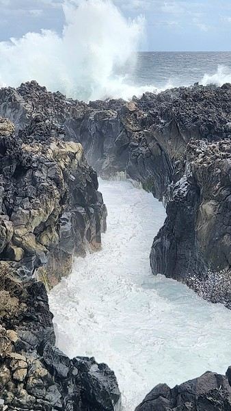

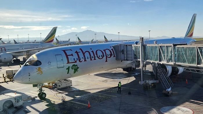
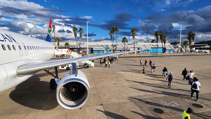
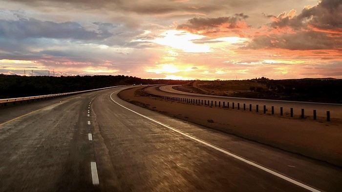



 The large solidified magma massifs that shape the heart of the island have created a large depression more protected from the sun at its center, allowing the growth of a vast laurel forest, today grouped within the Garajonay National Park, La Gomera’s green lung, which has earned it the status of a World Biosphere Reserve. Its completely European appearance contrasts sharply with the rocky and tropical landscapes of the rest of the island. Thus, the climate varies greatly from one point to another on the island: in summer, you can quickly go from a dry and sunny valley at 35°C to a humid forest area at altitude at 18°C.

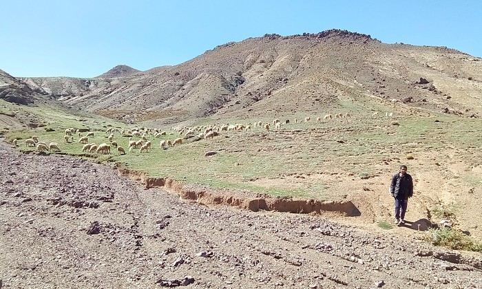
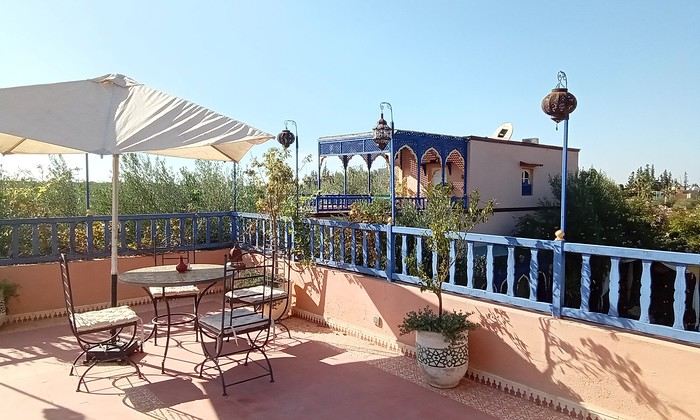
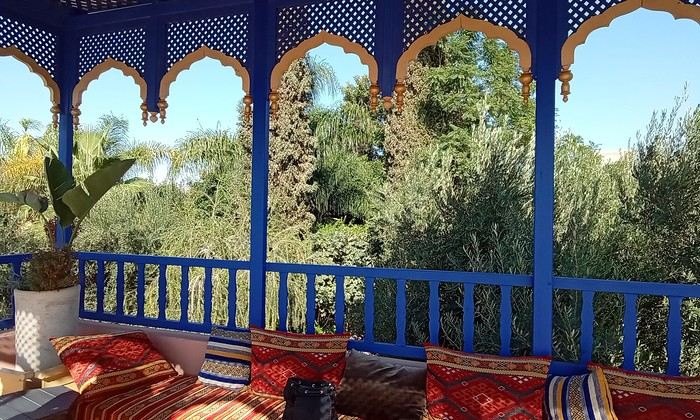 Last October, we landed in Marrakech to spend a few days with family exploring Morocco’s roads.
Transport: a rented Dacia.
Accommodations: small guesthouses.
Last October, we landed in Marrakech to spend a few days with family exploring Morocco’s roads.
Transport: a rented Dacia.
Accommodations: small guesthouses.


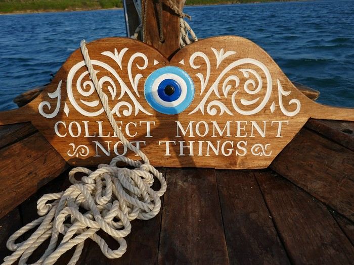

 Come along, I'm taking you to this country where it's so nice to wander and slow down...
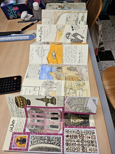
 I’m inviting you on a stroll through my drawings—a completely subjective, far from exhaustive, and totally personal take, since it’s based on my own sketches. I put this travel journal together after returning in late 2024, mostly using felt-tip pens and pencils, with a few collages thrown in. I worked from our personal photos.
 And in Kyoto, Nishiki Market:

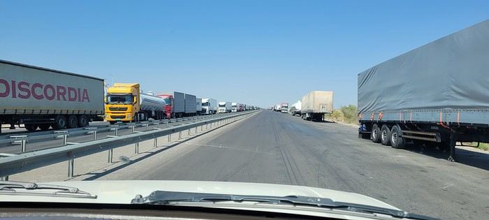
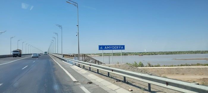
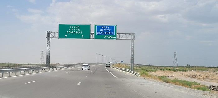
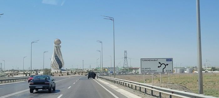
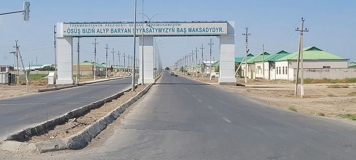
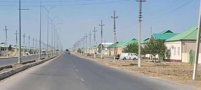 Roundabouts are particularly interesting because they feature emblems of Turkmen culture, like the dog, a carpet, the Ahal Teke horse, or Muslim symbols, even though the presence of Islamic artifacts is quite limited.
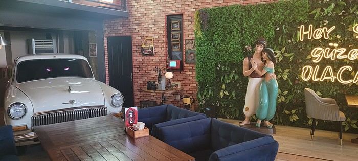


 A little sneak peek?










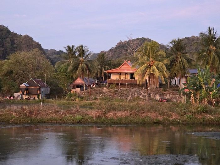
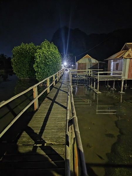
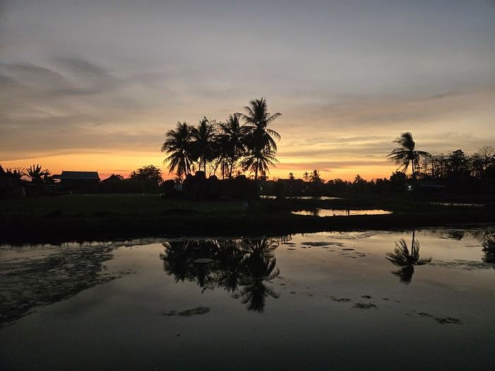
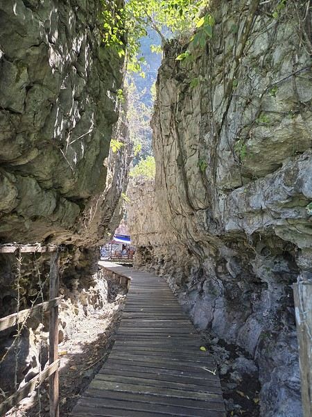
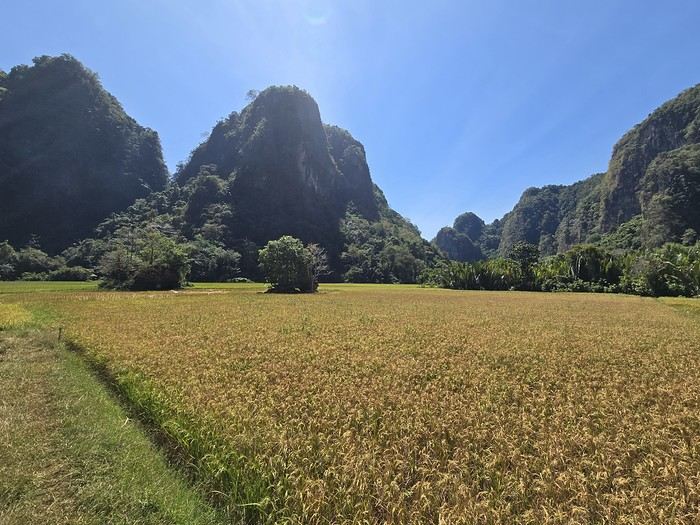
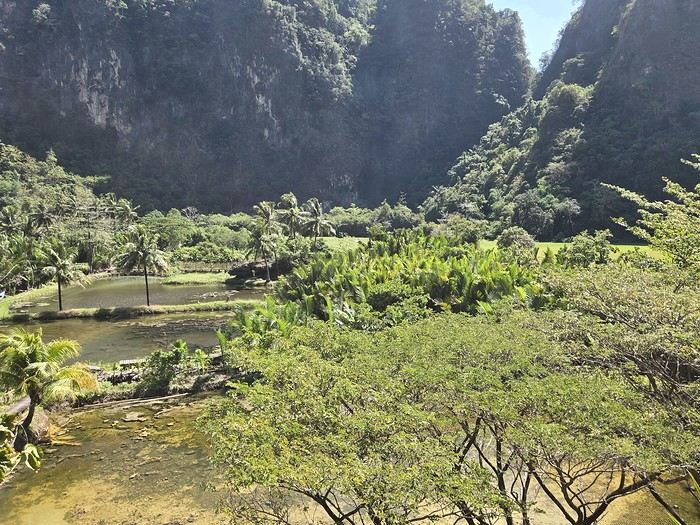
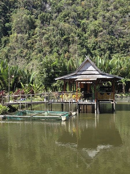
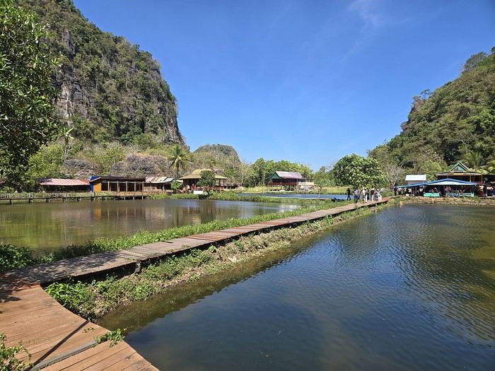
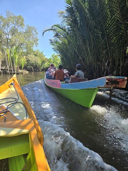 The karst site:
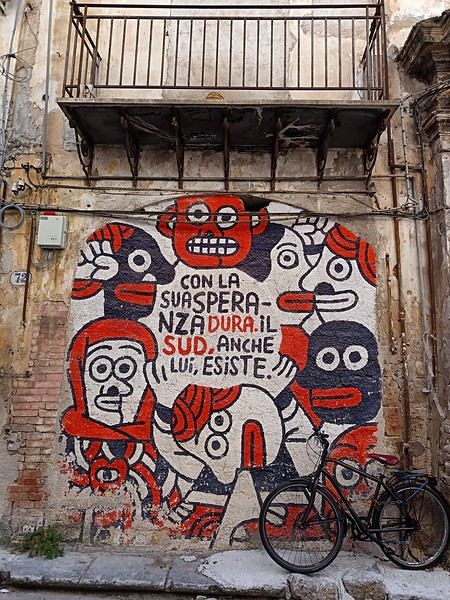 (In the heart of Albergheria, on a street every visitor walks down—lovely message from an unidentified artist)