Indeed, Pascal...😉
by Marcalamar
Translated into English.
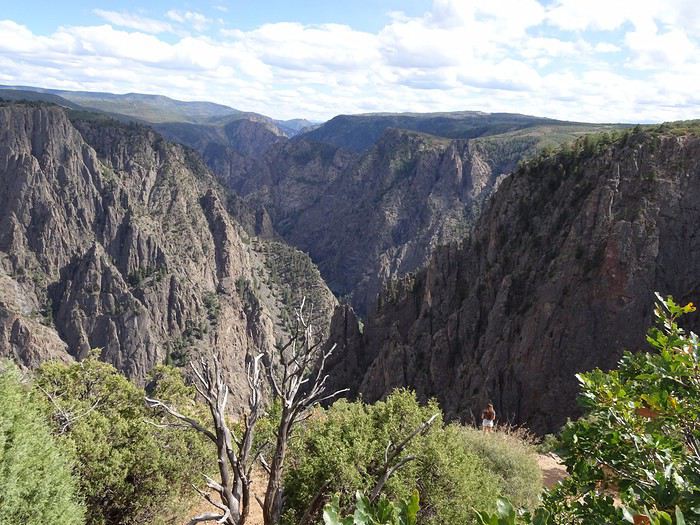
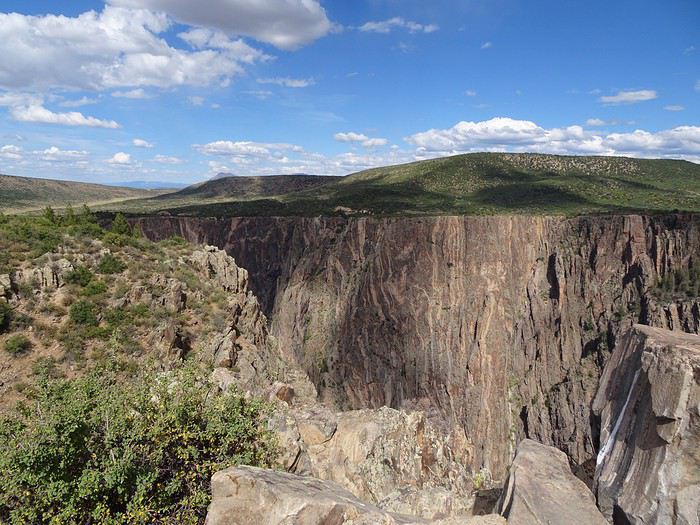
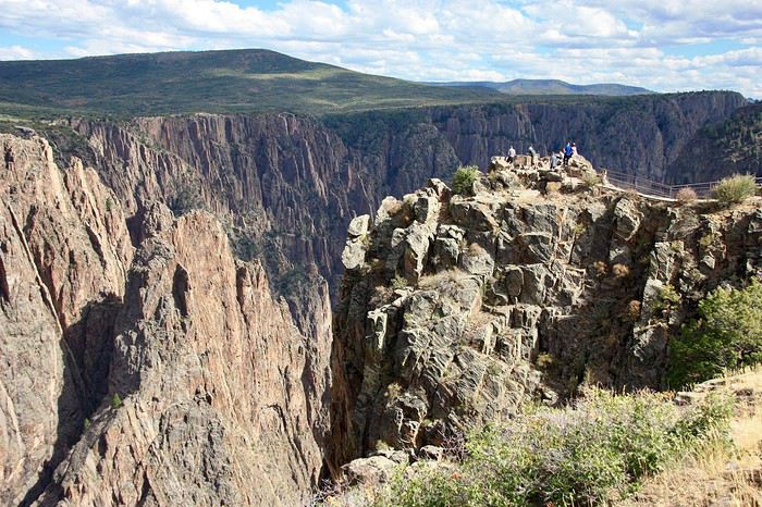
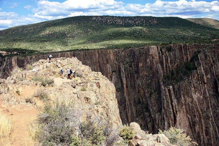 The views of the canyon keep coming, and the canyon narrows.
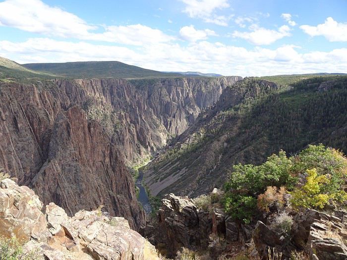
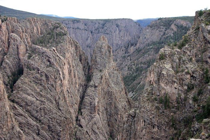
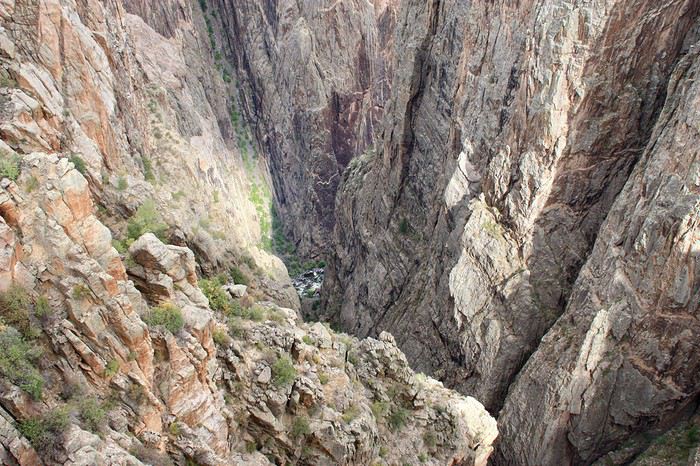
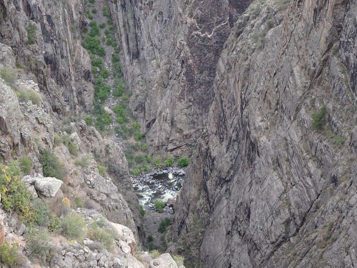
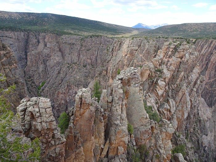
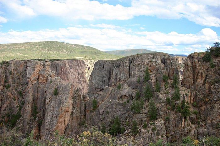
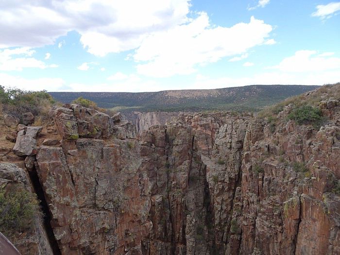
 Still these viewpoints in the middle of the rocks.
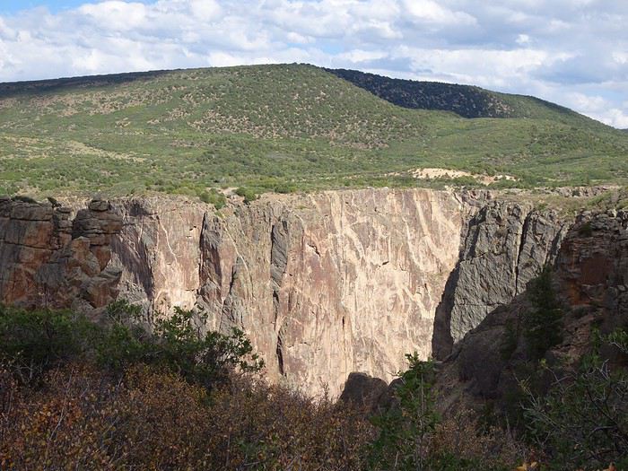
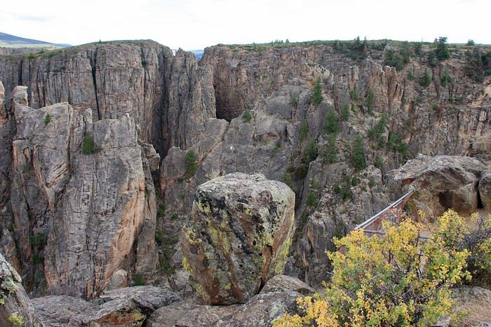 The striations start to appear, and the cliffs soften.
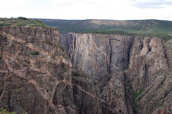 We’re almost at the end, and Painted Wall is here!!!
We’re at 8,200 feet, admiring this incredible viewpoint with the river far below.
We’re almost at the end, and Painted Wall is here!!!
We’re at 8,200 feet, admiring this incredible viewpoint with the river far below.
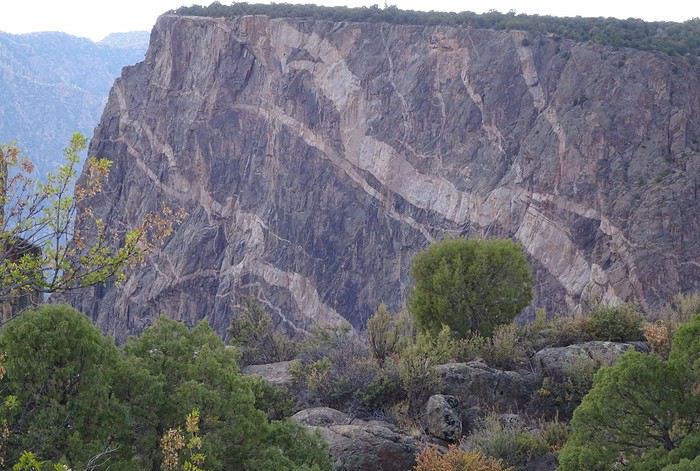
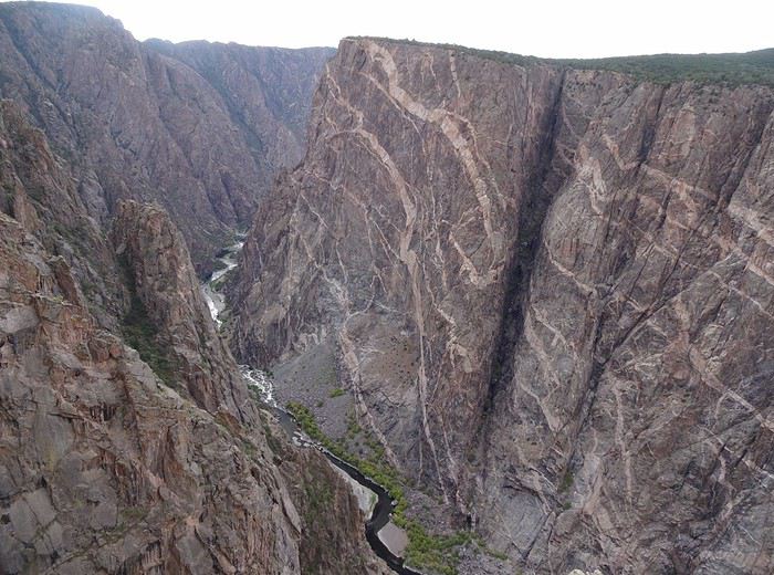 There it is, stunning, with its 2,260-foot cliffs of gneiss and schist veined with pegmatite.
The rock’s cracks were filled with magma mixed with water and minerals (quartz, mica, garnet), giving us those white and pinkish streaks against the dark gray.
There it is, stunning, with its 2,260-foot cliffs of gneiss and schist veined with pegmatite.
The rock’s cracks were filled with magma mixed with water and minerals (quartz, mica, garnet), giving us those white and pinkish streaks against the dark gray.
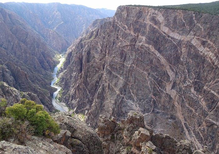 Our imaginations run wild!! A snake, a cheetah, a dragon, a tree!! Everyone’s having fun naming the lighter shapes.
 We keep going to the end of the road!!
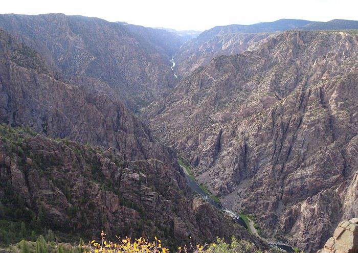
The canyon widens, and the rims pull apart!!! The verticality disappears, and the cliffs gently slope down.
We keep going to the end of the road!!
The canyon widens, and the rims pull apart!!! The verticality disappears, and the cliffs gently slope down.
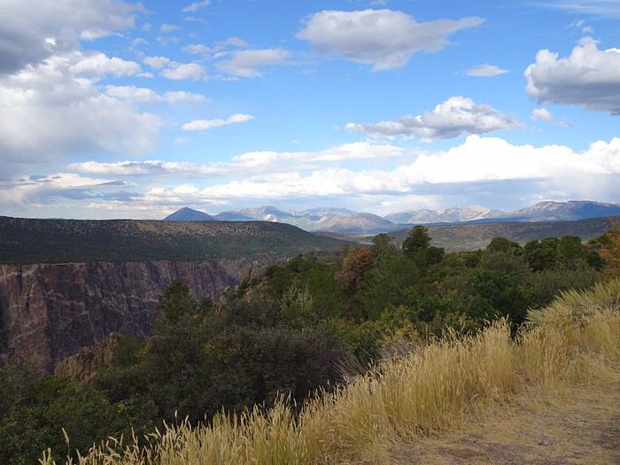 It’s 5:20 PM!! The sky is completely gray.
After the others’ flat-out refusal, I reluctantly cancel (a bit begrudgingly) the Warner Nature Trail that was on the agenda.
We head back the same way.
I don’t even suggest the 7-mile East Portal Road that would’ve taken us right down to the Gunnison River—they’re really ready to relax at the hotel!!!
Fair enough, we’ve been keeping a pretty steady pace for 18 days, and the fatigue is starting to show.
Alright, let’s go!! Hit the road, chickadee!!! Off to Montrose.
It’s 5:20 PM!! The sky is completely gray.
After the others’ flat-out refusal, I reluctantly cancel (a bit begrudgingly) the Warner Nature Trail that was on the agenda.
We head back the same way.
I don’t even suggest the 7-mile East Portal Road that would’ve taken us right down to the Gunnison River—they’re really ready to relax at the hotel!!!
Fair enough, we’ve been keeping a pretty steady pace for 18 days, and the fatigue is starting to show.
Alright, let’s go!! Hit the road, chickadee!!! Off to Montrose.
 When we arrive at the motel, we’re surprised to find a crowd of super-friendly bikers chatting over beers or polishing their motorcycles in the parking lot—no doubt after a long ride! What a job after all those kilometers!
A good meal at Jimmer’s steak BBQ with an excellent little margarita (140 dollars).
Lying in bed, I replay our day in my head, as I do every night.
Only 120 km separate Colorado National Monument from Black Canyon, and what a breathtaking difference!
After the warmth of the red rocks we loved at the first, the second seemed so dark!
Maybe it’s the fatigue—all those little hikes to the viewpoints! Or our friends’ nerves on the overlooks! Either way, this was the spot that got the fewest “wow”s from us.
Haha! The little devil in me has cooked up a surprise for tomorrow’s driver!
The guys know that in this road trip, I’ve planned for us to take Skyline Drive—a road perched on a ridge 300 meters above the ground—but they haven’t tried to find out where or when! Fate will decide who drives.
And the winner is: our friend Maumau!
More laughs ahead!!!
The views of the canyon follow one after another, and the canyon narrows.
Still these viewpoints in the middle of the rocks.
The striations start to appear, and the cliffs soften.
We’re almost at the end, and Painted Wall is there!!!
We’re at 2,500 m altitude, admiring this exceptional viewpoint with the river way down below.
There it is, stunning, with its 690 m of gneiss and schist cliffs veined with pegmatite.
The rock’s cracks were filled with magma mixed with water and minerals (quartz, mica, garnet), giving us these white and pinkish streaks on the dark gray.
The imagination runs wild!! A snake, a cheetah, a dragon, a tree!! Everyone has fun naming the light-colored shapes.
We continue to the end of the road!!
The canyon widens, and the rims pull apart!!! The verticality disappears, and the cliffs gently slope down.
It’s 5:20 PM!! The sky is completely gray.
Given the others’ flat-out refusal, I reluctantly cancel (a bit grudgingly) the Warner Nature Trail that was on the agenda.
We head back the same way.
I don’t even suggest the 11 km East Portal Road trail that would’ve taken us right by the Gunnison River—they really just want to relax at the hotel!!!
It’s been 18 days of a pretty intense pace, and the fatigue is starting to show.
Alright, that’s fine!! Hit the road, chickadee!!! Off to Montrose.
When we arrive at the motel, we’re surprised to find a crowd of super-friendly bikers chatting over beers or polishing their motorcycles in the parking lot—no doubt after a long ride! What a job after all those kilometers!
A good meal at Jimmer’s steak BBQ with an excellent little margarita (140 dollars).
Lying in bed, I replay our day in my head, as I do every night.
Only 120 km separate Colorado National Monument from Black Canyon, and what a breathtaking difference!
After the warmth of the red rocks we loved at the first, the second seemed so dark!
Maybe it’s the fatigue—all those little hikes to the viewpoints! Or our friends’ nerves on the overlooks! Either way, this was the spot that got the fewest “wow”s from us.
Haha! The little devil in me has cooked up a surprise for tomorrow’s driver!
The guys know that in this road trip, I’ve planned for us to take Skyline Drive—a road perched on a ridge 300 meters above the ground—but they haven’t tried to find out where or when! Fate will decide who drives.
And the winner is: our friend Maumau!
More laughs ahead!!!
The views of the canyon follow one after another, and the canyon narrows.
Still these viewpoints in the middle of the rocks.
The striations start to appear, and the cliffs soften.
We’re almost at the end, and Painted Wall is there!!!
We’re at 2,500 m altitude, admiring this exceptional viewpoint with the river way down below.
There it is, stunning, with its 690 m of gneiss and schist cliffs veined with pegmatite.
The rock’s cracks were filled with magma mixed with water and minerals (quartz, mica, garnet), giving us these white and pinkish streaks on the dark gray.
The imagination runs wild!! A snake, a cheetah, a dragon, a tree!! Everyone has fun naming the light-colored shapes.
We continue to the end of the road!!
The canyon widens, and the rims pull apart!!! The verticality disappears, and the cliffs gently slope down.
It’s 5:20 PM!! The sky is completely gray.
Given the others’ flat-out refusal, I reluctantly cancel (a bit grudgingly) the Warner Nature Trail that was on the agenda.
We head back the same way.
I don’t even suggest the 11 km East Portal Road trail that would’ve taken us right by the Gunnison River—they really just want to relax at the hotel!!!
It’s been 18 days of a pretty intense pace, and the fatigue is starting to show.
Alright, that’s fine!! Hit the road, chickadee!!! Off to Montrose.

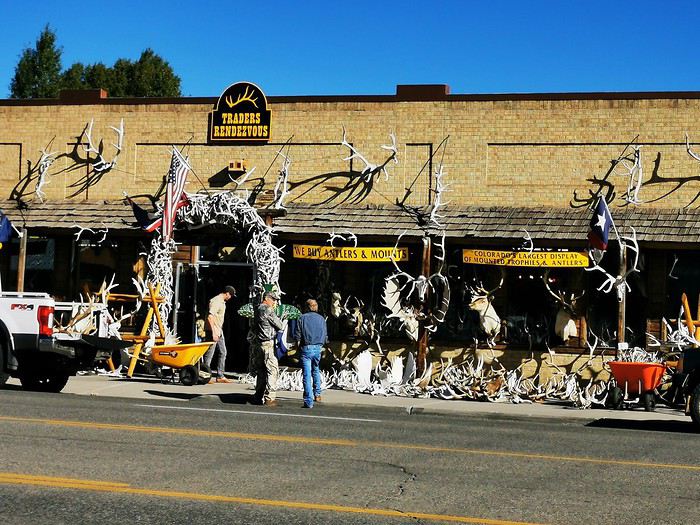
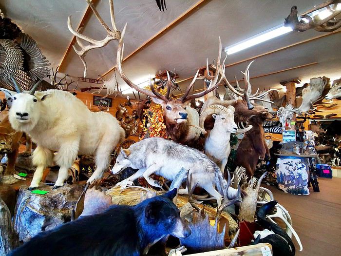

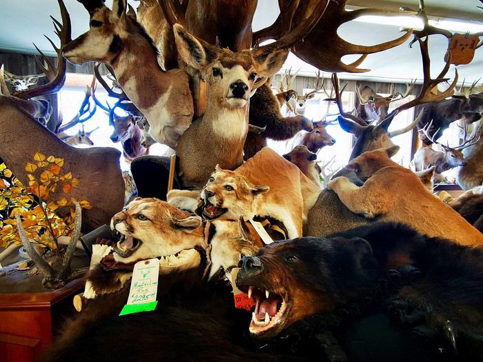
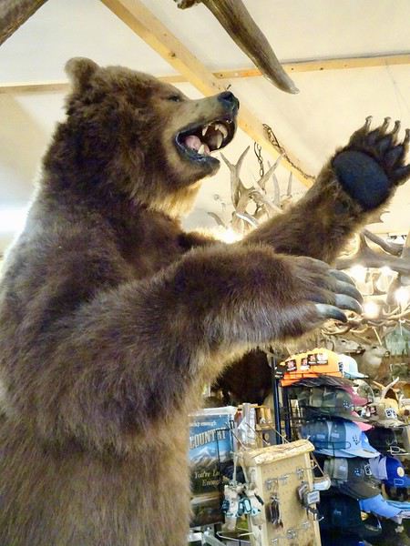 and others that are more unexpected: crocodile, lion, zebra...
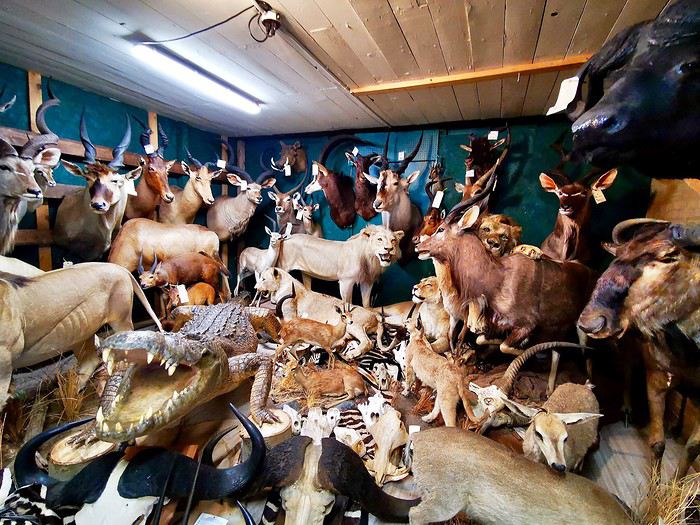 We wander around this jumble where, of course, guns are also for sale.
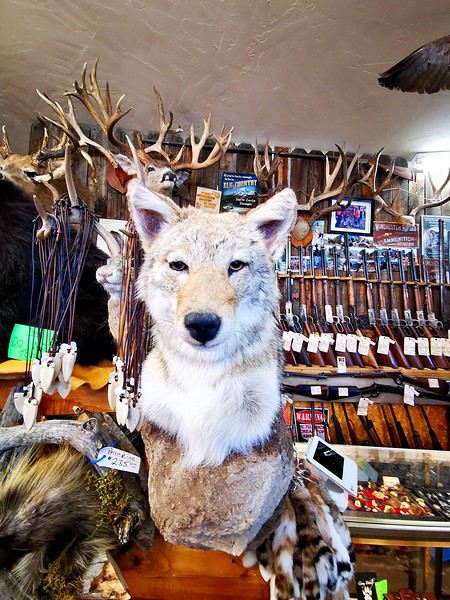 The saleswoman assures us that most of these animals came from road accidents. Mimi and I prefer to take her word for it without asking too many questions.
The only interesting thing about this store was the chance to see certain species up close.
Once again, we realize how kind Americans are when a passerby, thinking our vehicle had broken down, offers to call the rental agency for DD and Maumau.
We cross a pass at nearly 3,500 meters while driving through Monarch Park.
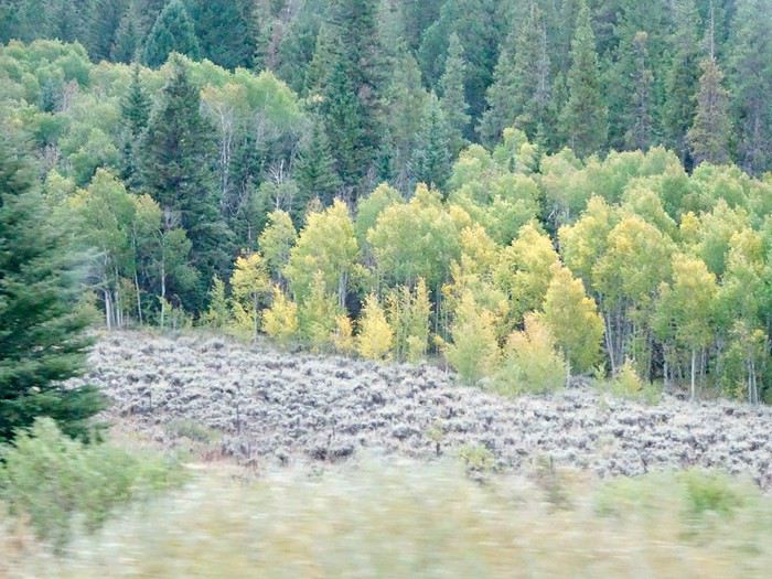
The trees are starting to turn yellow—you can really tell fall is just around the corner.
The saleswoman assures us that most of these animals came from road accidents. Mimi and I prefer to take her word for it without asking too many questions.
The only interesting thing about this store was the chance to see certain species up close.
Once again, we realize how kind Americans are when a passerby, thinking our vehicle had broken down, offers to call the rental agency for DD and Maumau.
We cross a pass at nearly 3,500 meters while driving through Monarch Park.
The trees are starting to turn yellow—you can really tell fall is just around the corner.
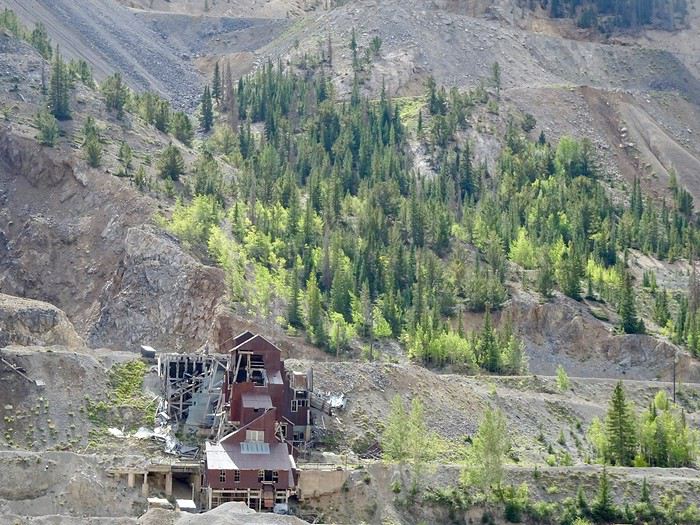
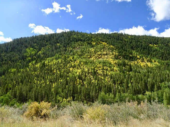 The landscape of prairies and pinnacles has given way to a mountainous scene with ruins of old buildings.
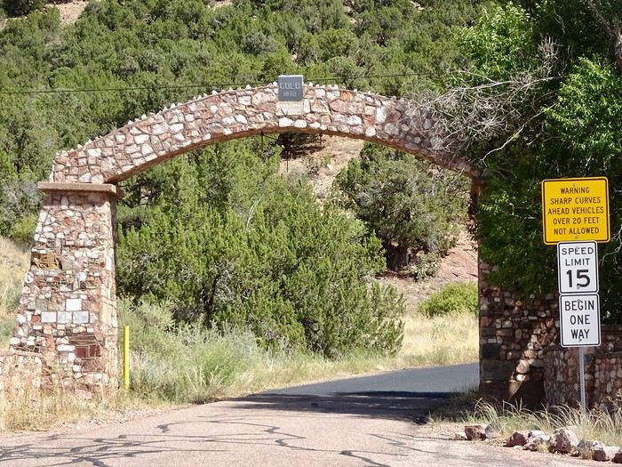 This 5 km road, super narrow and without guardrails, was built by convicts in 1905.
The climb is smooth. It rises gently.
This 5 km road, super narrow and without guardrails, was built by convicts in 1905.
The climb is smooth. It rises gently.
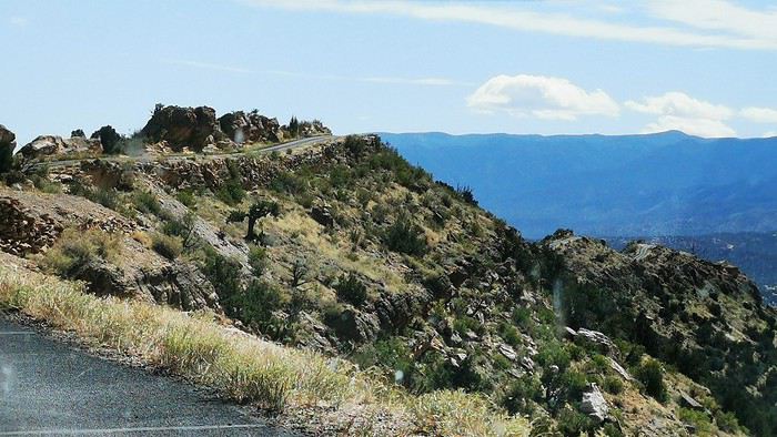
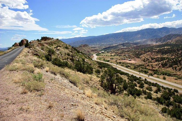
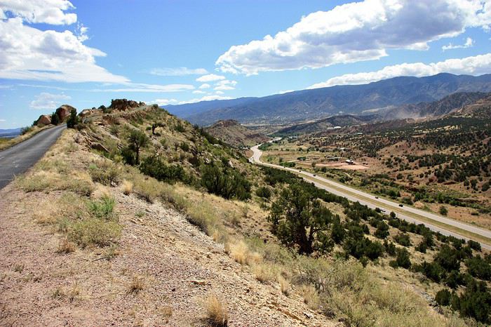 Then it winds in a gentle slope, dropping like a roller coaster onto the ridge 240 m above the ground.
In the photo below, you can really see the road’s path—good grief, it’s not wide!!!
Then it winds in a gentle slope, dropping like a roller coaster onto the ridge 240 m above the ground.
In the photo below, you can really see the road’s path—good grief, it’s not wide!!!
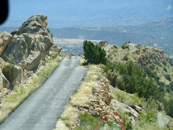 That’s where the ordeal begins.
The precipice on both sides—Maumau is glued to the wheel, a hushed silence fills the car. Mimi is terrified, but she’s not the only one—everyone’s clenching and feeling uneasy!!! Adrenaline rush and guaranteed chills!!!
That’s where the ordeal begins.
The precipice on both sides—Maumau is glued to the wheel, a hushed silence fills the car. Mimi is terrified, but she’s not the only one—everyone’s clenching and feeling uneasy!!! Adrenaline rush and guaranteed chills!!!
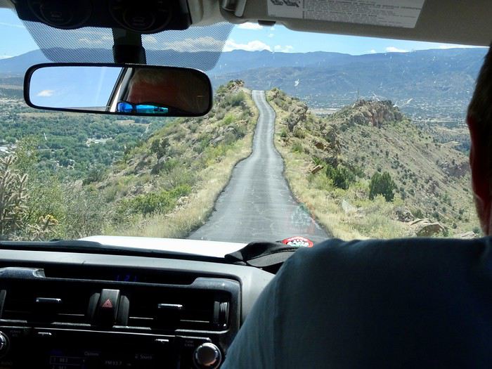 At the summit, a small parking lot lets you see the valleys below.
What a sight—on the right, the highway and the mountains.
At the summit, a small parking lot lets you see the valleys below.
What a sight—on the right, the highway and the mountains.
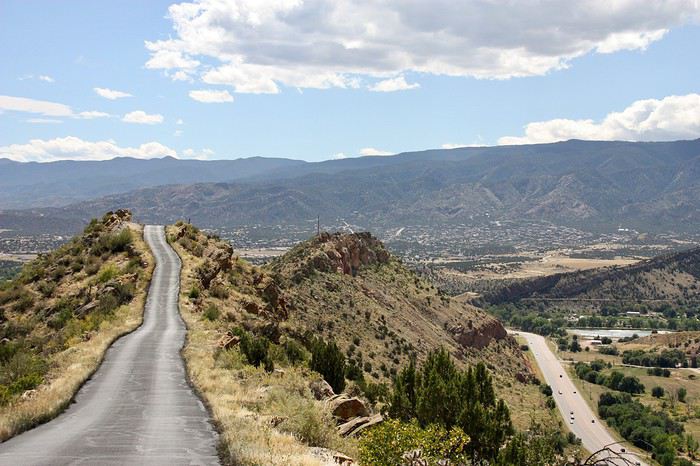 And on the left, the plains of Canon City.
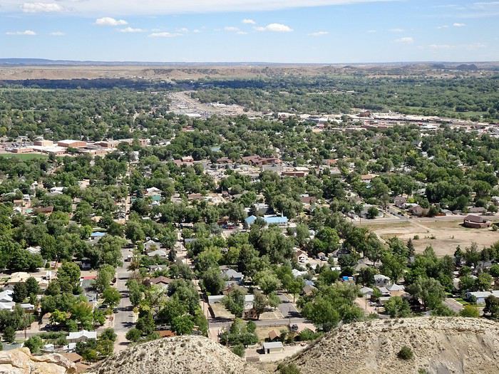 Workers are up there, perched in the void without any protection, picking up all the trash that those piggish tourists toss when they stop.
We start the descent, which is pretty easy overall, and finally reach the bottom in a fairly residential neighborhood, thrilled we did it.
We were way up there on the ridge where you can see the tiny dot of a car.
Workers are up there, perched in the void without any protection, picking up all the trash that those piggish tourists toss when they stop.
We start the descent, which is pretty easy overall, and finally reach the bottom in a fairly residential neighborhood, thrilled we did it.
We were way up there on the ridge where you can see the tiny dot of a car.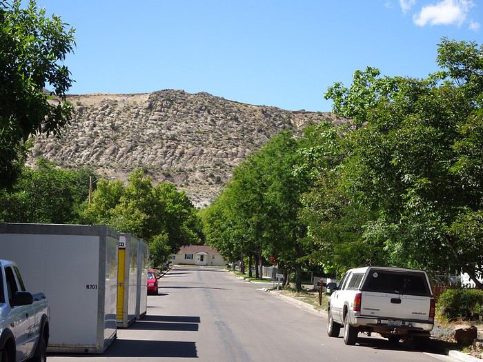 A strange way to welcome visitors.
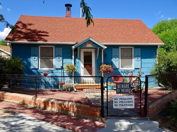 Mau, happy to have driven us safely, is ultimately glad he had to drive because his concentration kept him from thinking too much about the drop.
Based on a forum friend’s advice, I’d planned to take Phantom Road after our night in Cripple Creek, descending leisurely toward Manitou Springs, but discovering a last-minute Pow Wow near Garden of the Gods on the day we arrived made us change our plans—we had to be there by 2 p.m. at the latest, so we had to take the shortest route.
Phantom Road
So, we’ll take it on the way up.
We find the start of the trail with difficulty. This path, nestled in the forest with its pines, high walls, and tunnels, is certainly cute.
Mau, happy to have driven us safely, is ultimately glad he had to drive because his concentration kept him from thinking too much about the drop.
Based on a forum friend’s advice, I’d planned to take Phantom Road after our night in Cripple Creek, descending leisurely toward Manitou Springs, but discovering a last-minute Pow Wow near Garden of the Gods on the day we arrived made us change our plans—we had to be there by 2 p.m. at the latest, so we had to take the shortest route.
Phantom Road
So, we’ll take it on the way up.
We find the start of the trail with difficulty. This path, nestled in the forest with its pines, high walls, and tunnels, is certainly cute.
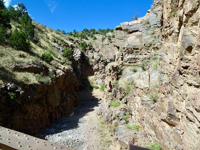
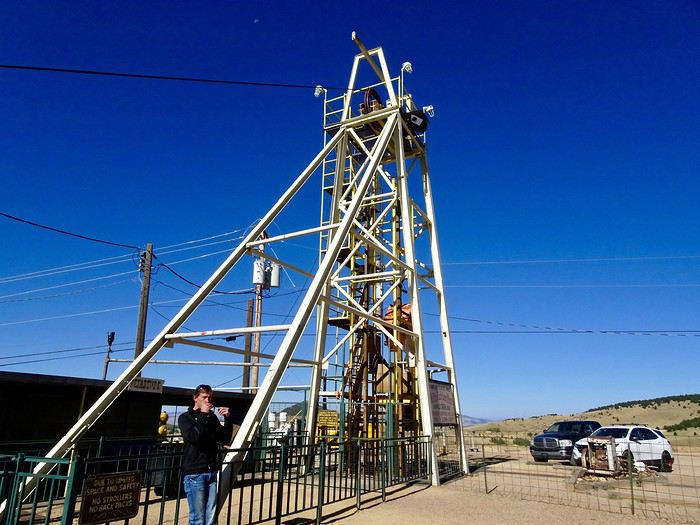
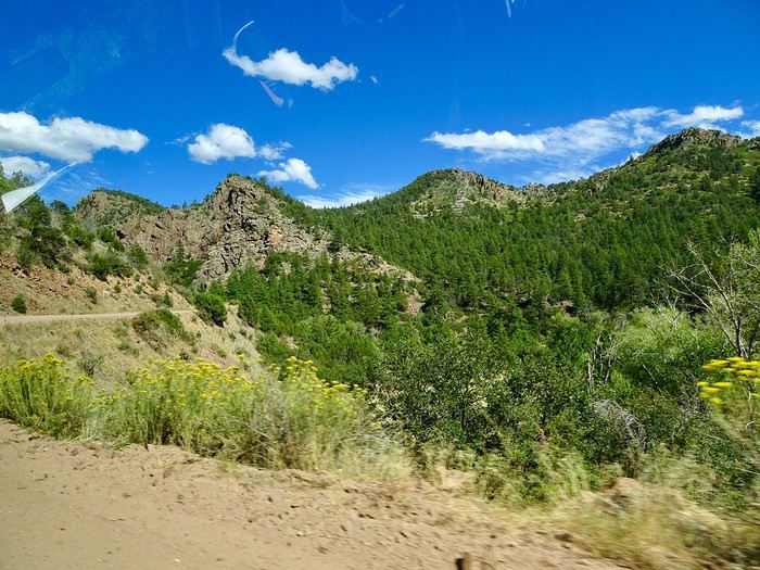 But it takes us longer than expected to reach Cripple Creek, which prevents us from visiting the Mollie Kathleen Mine because we arrive at 4 p.m., just as the last group is coming up—and unfortunately, it’s full.
Disappointed we can’t go down, we settle for taking a few photos.
But it takes us longer than expected to reach Cripple Creek, which prevents us from visiting the Mollie Kathleen Mine because we arrive at 4 p.m., just as the last group is coming up—and unfortunately, it’s full.
Disappointed we can’t go down, we settle for taking a few photos.
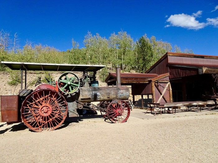
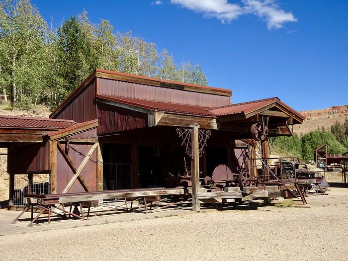
 Before heading back to Cripple Creek.
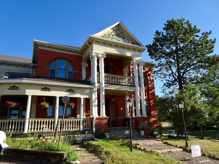
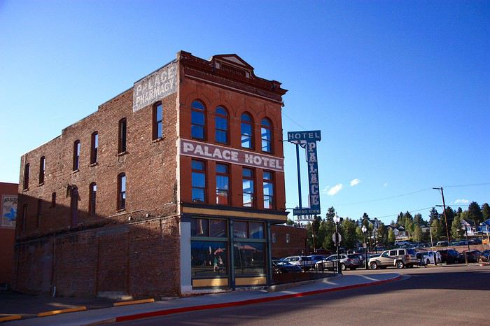
 And our hotel.
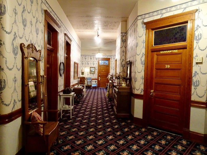
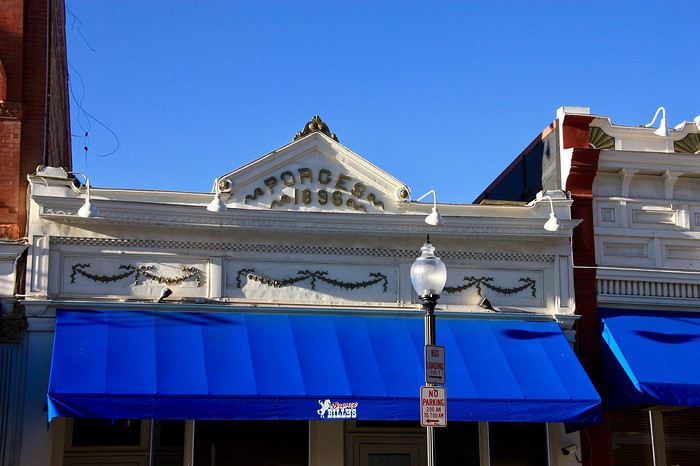
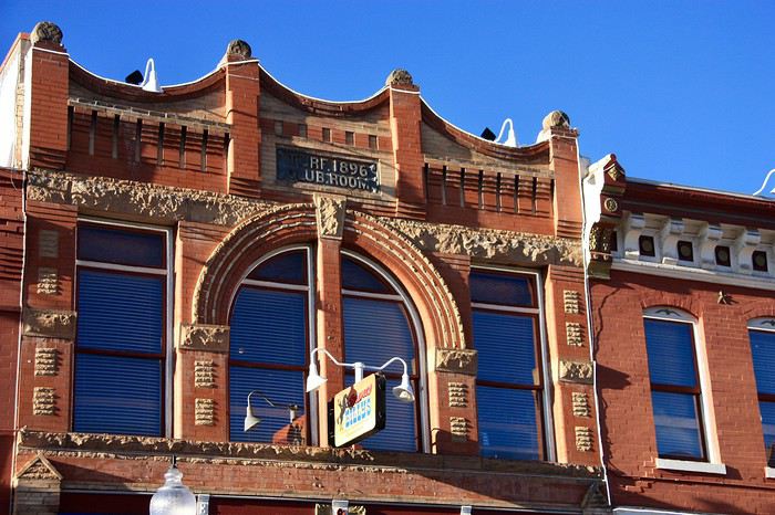
 Where we love strolling—the decor is so nice.
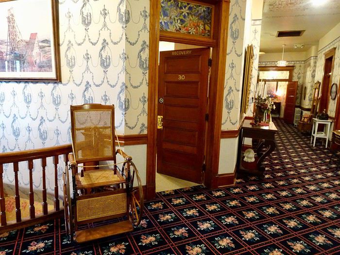
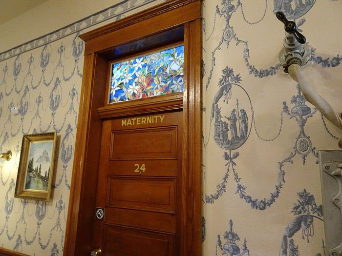
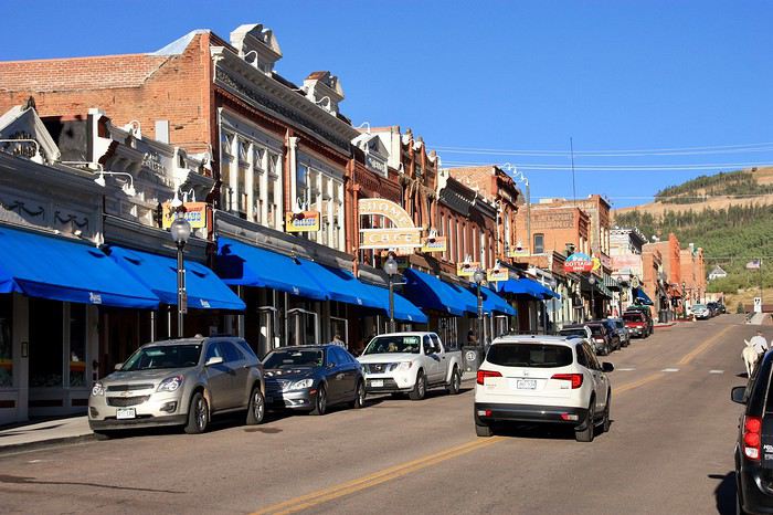
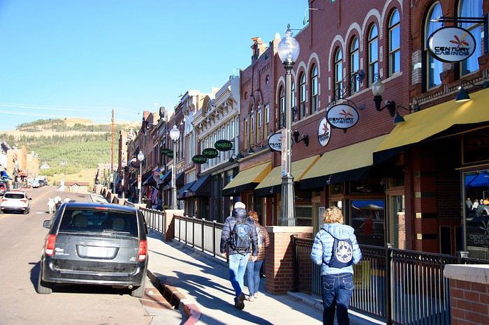 And hotels.
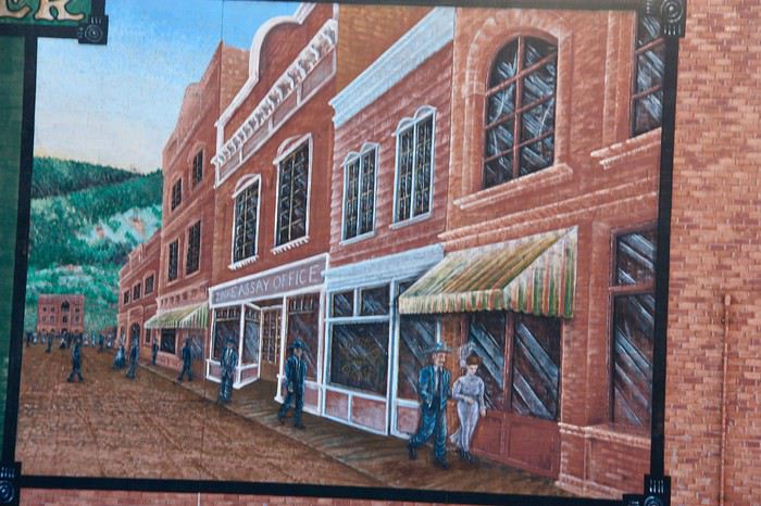
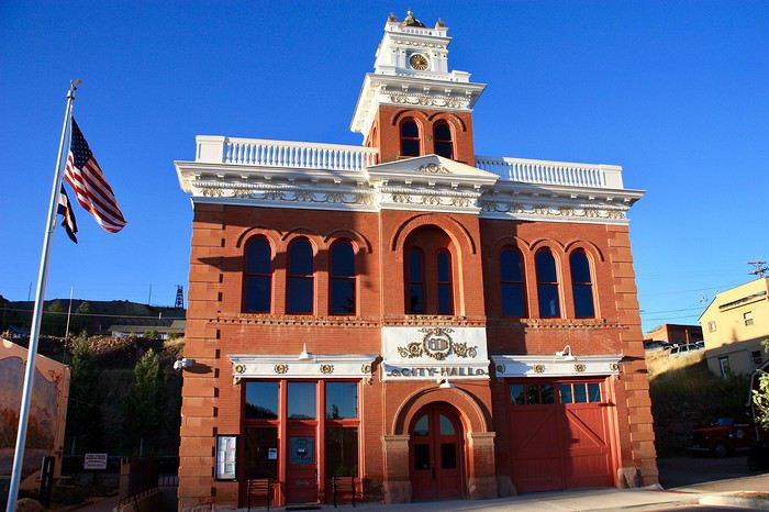
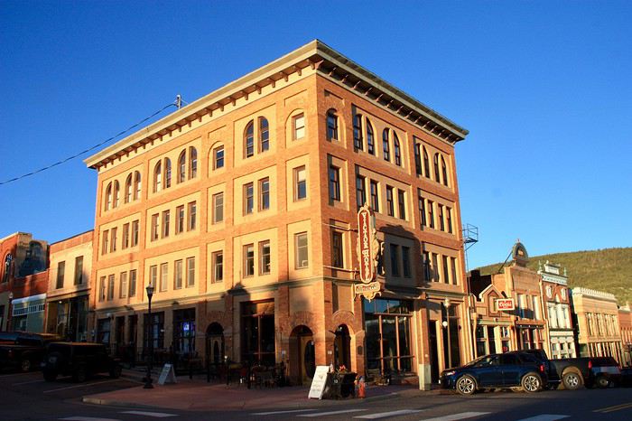
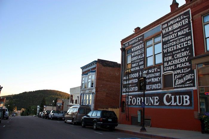
 As well as some cool murals.
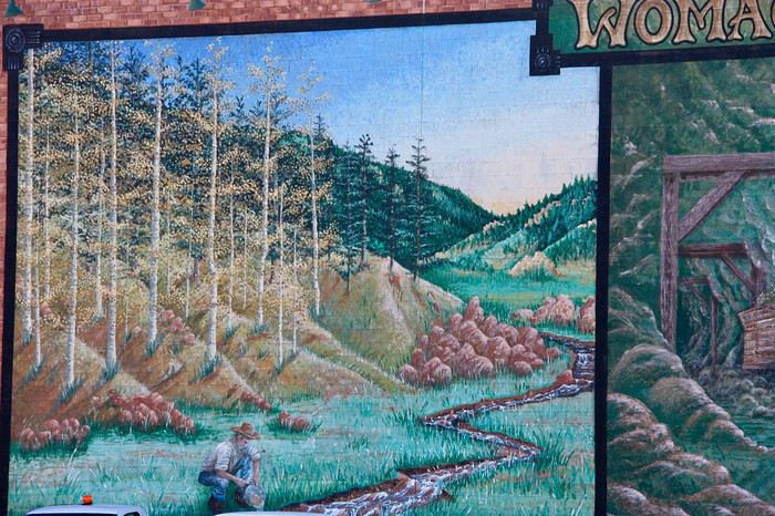 There are also little donkeys, descendants of those that spent their lives in the mines, but we didn’t see them.
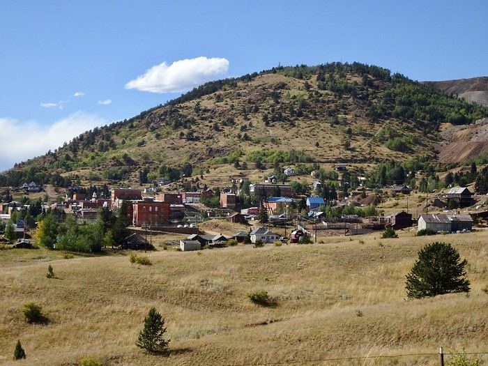
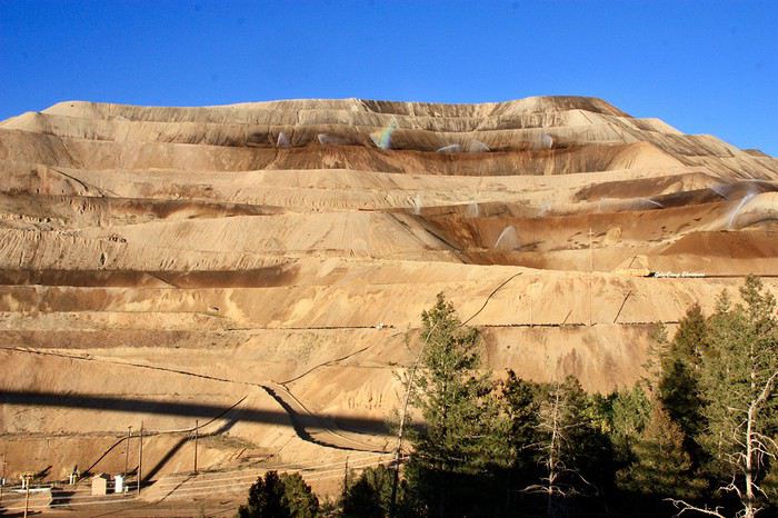 Victor seemed more authentic to us, even more moving, though it looks more like a ghost town with its antique shops and dilapidated storefronts.
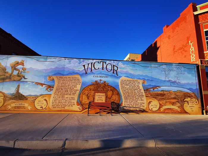
Here too, there are murals.
Victor seemed more authentic to us, even more moving, though it looks more like a ghost town with its antique shops and dilapidated storefronts.
Here too, there are murals.
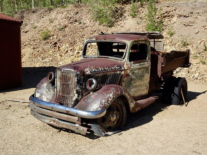
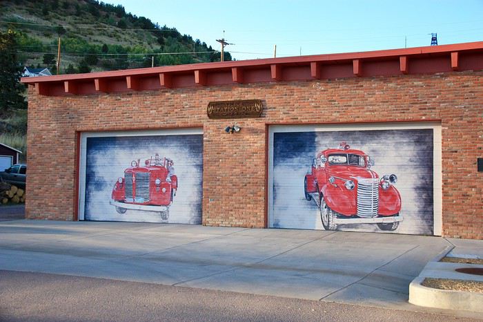 Old cars.
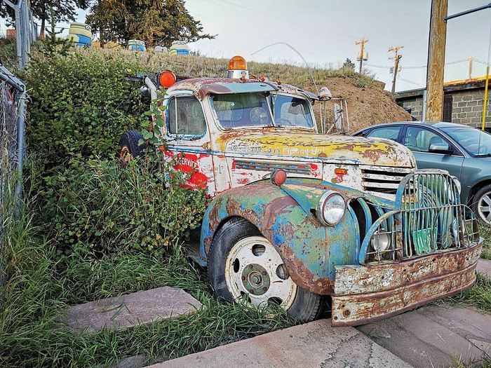
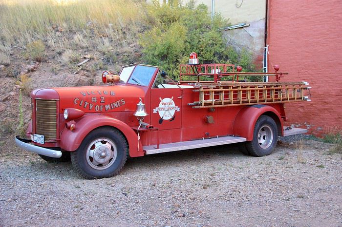
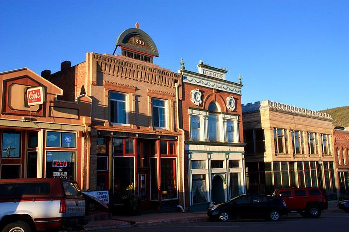
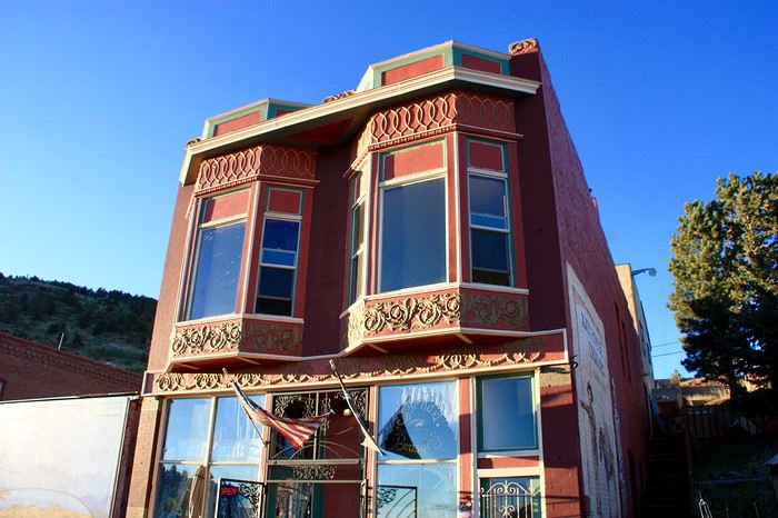
 Dusk is setting in.
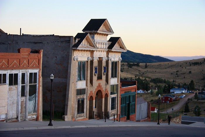
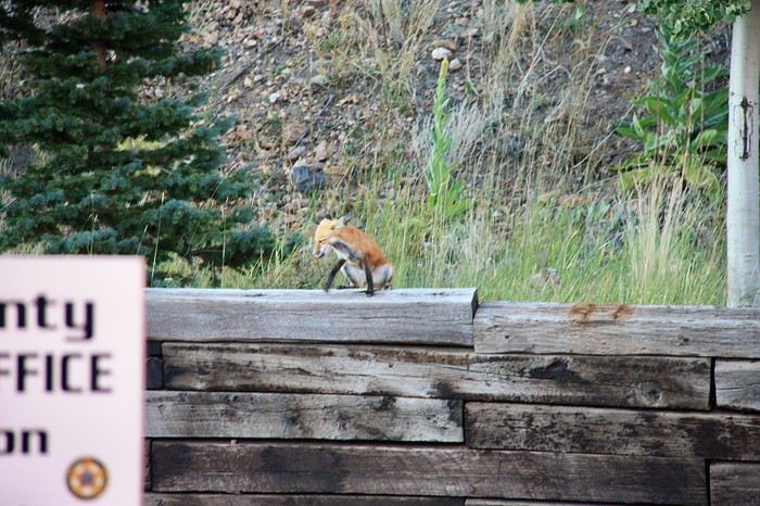
 Not a soul on the street except for a young homeless guy and this little coyote.
 And a drunk man, whom a lovely antique shop owner will take care of for us.
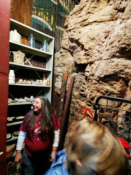 She sells bottles of alcohol and reopens her shop door, which she had already closed, to lead us to the back of her store, where a section of the wall holds gold nuggets.
Victor is also known for its mining relics, which we plan to see tomorrow morning.
The restaurant we’d spotted for dinner was closed, so we head to one of the casinos on the main street that also serves food.
Arriving too late to visit the gold mine is the big disappointment of the day. Tomorrow, we want to walk through the mining ruins—it’ll take time, and if we visit the mine afterward, we’ll arrive too late to see the native costumes and dances, which we really want to see. Oh well, too bad about the mine, but it’s still a shame!!!
She sells bottles of alcohol and reopens her shop door, which she had already closed, to lead us to the back of her store, where a section of the wall holds gold nuggets.
Victor is also known for its mining relics, which we plan to see tomorrow morning.
The restaurant we’d spotted for dinner was closed, so we head to one of the casinos on the main street that also serves food.
Arriving too late to visit the gold mine is the big disappointment of the day. Tomorrow, we want to walk through the mining ruins—it’ll take time, and if we visit the mine afterward, we’ll arrive too late to see the native costumes and dances, which we really want to see. Oh well, too bad about the mine, but it’s still a shame!!!
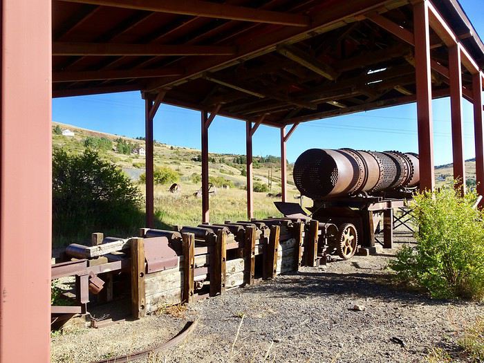
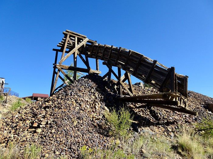
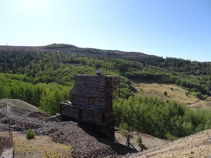
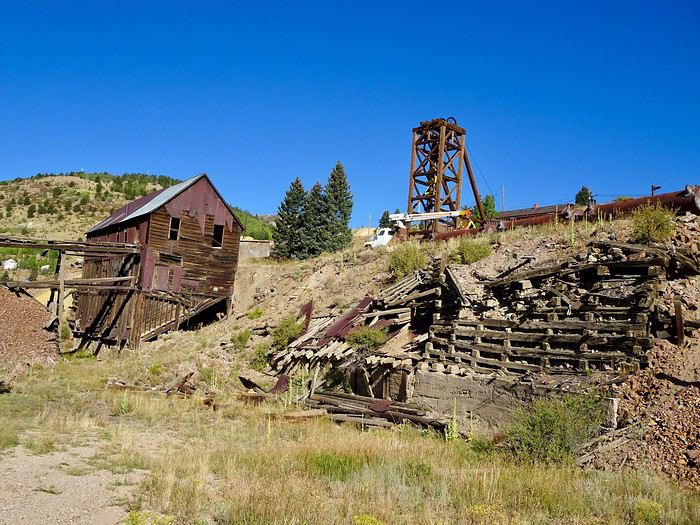 It’s nice out, pleasant but a bit repetitive!! Plus, this whole mine thing is stuck in my head!!!
We were disappointed yesterday for arriving too late!!! We’ve never seen a gold mine, and we already missed the one in Deadwood!!!
The first descent into the Mollie Kathleen mine is at 10 AM. What if we stopped the hike and went back there? We haven’t walked much, and we have time to go. Only DD isn’t too keen!! Come on, let’s vote!!! Three for, one against!!!
Deal, we’re going back!!!!
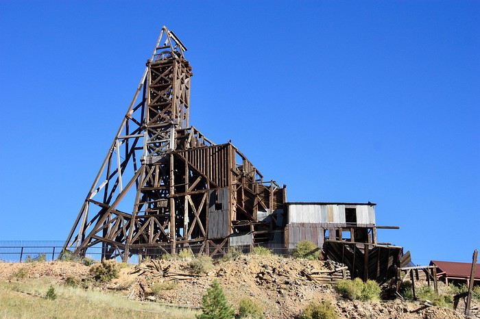
Mining remnants are everywhere.
It’s nice out, pleasant but a bit repetitive!! Plus, this whole mine thing is stuck in my head!!!
We were disappointed yesterday for arriving too late!!! We’ve never seen a gold mine, and we already missed the one in Deadwood!!!
The first descent into the Mollie Kathleen mine is at 10 AM. What if we stopped the hike and went back there? We haven’t walked much, and we have time to go. Only DD isn’t too keen!! Come on, let’s vote!!! Three for, one against!!!
Deal, we’re going back!!!!
Mining remnants are everywhere.
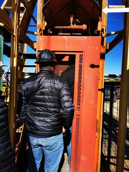 We start humming: “Ah, how cramped we are at the bottom of this box, sing the sardines...” under the amused gaze of the other visitors.
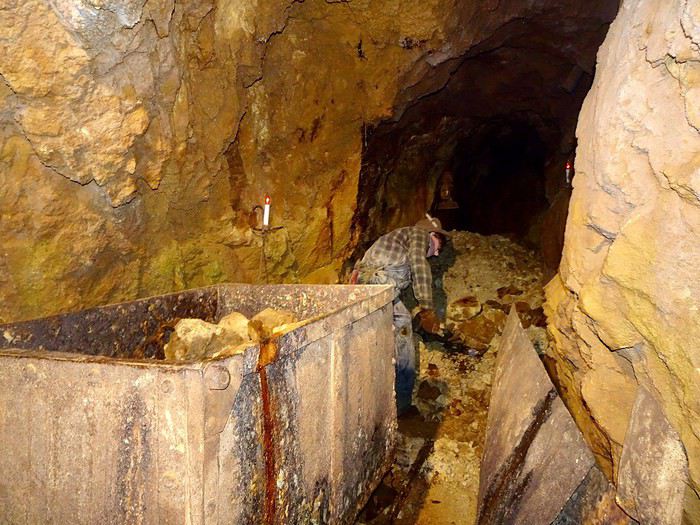
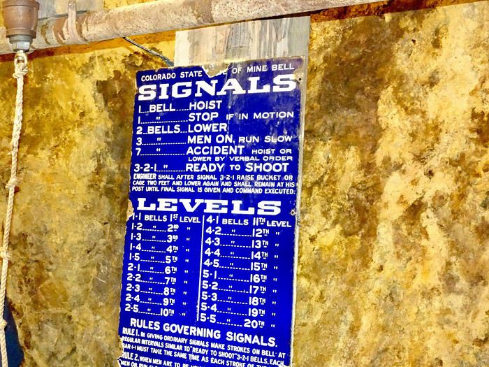
A bell rings, given by our guide standing on the second cage, and off we go at high speed into the darkness, 300 meters underground, in the same conditions as the old miners.
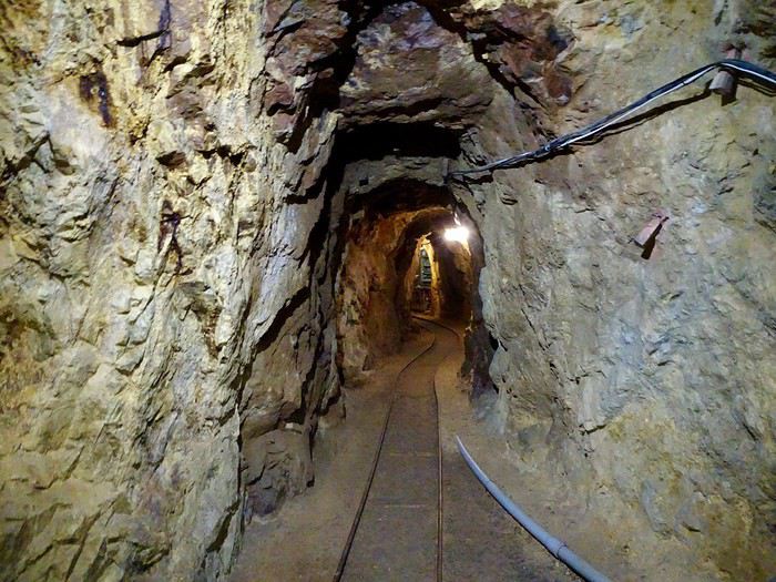
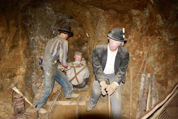
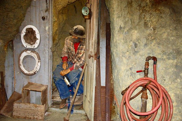
At the bottom, the tour lasts over an hour and gives us a glimpse of the living conditions of those men who once extracted the precious ore from the depths of the earth.
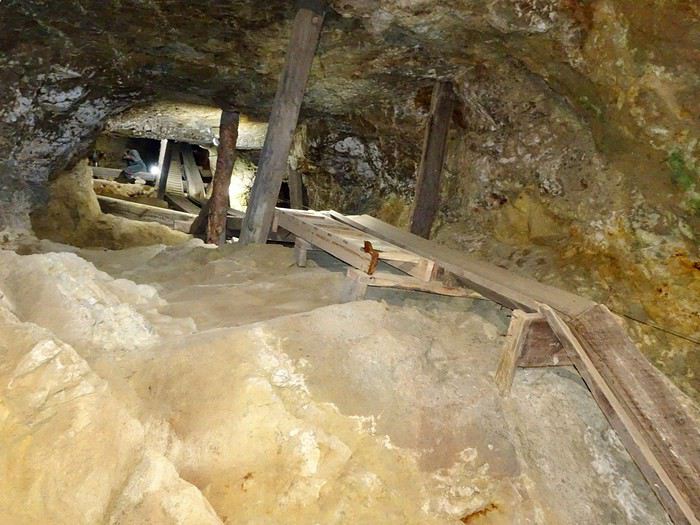
We start by walking through this maze of tunnels.
We start humming: “Ah, how cramped we are at the bottom of this box, sing the sardines...” under the amused gaze of the other visitors.
A bell rings, given by our guide standing on the second cage, and off we go at high speed into the darkness, 300 meters underground, in the same conditions as the old miners.
At the bottom, the tour lasts over an hour and gives us a glimpse of the living conditions of those men who once extracted the precious ore from the depths of the earth.
We start by walking through this maze of tunnels.
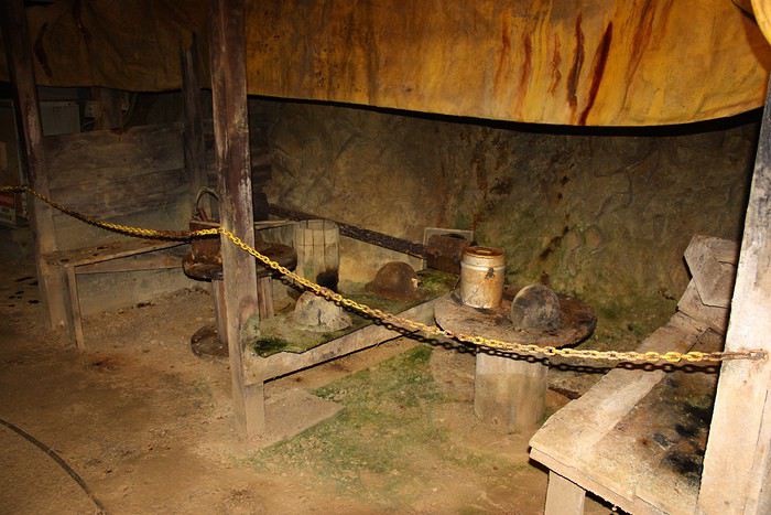
 The galleries have names.
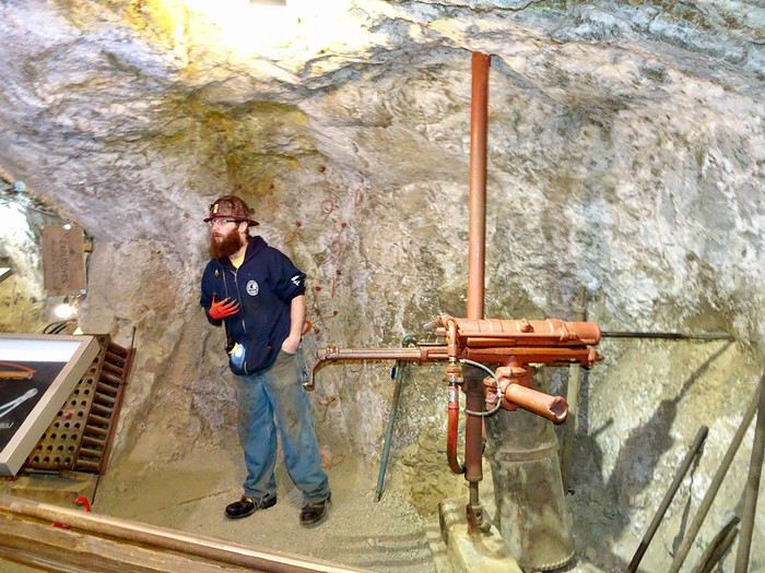
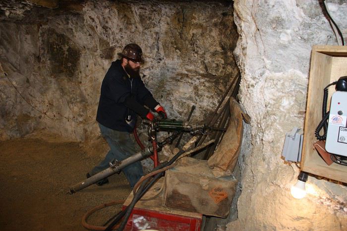
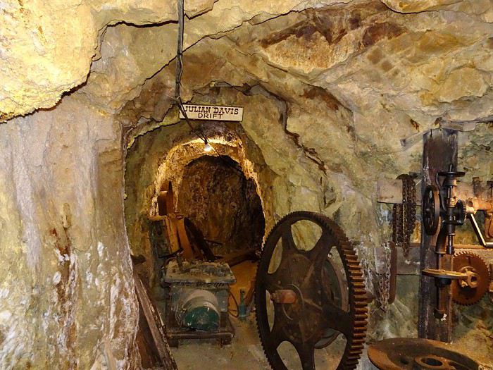 And as we go along, we clearly see the evolution of underground mining over time (lighting, extraction, drilling).
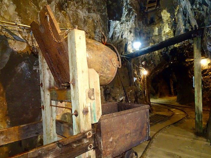
 Clever pulley system!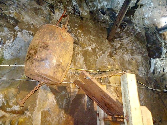
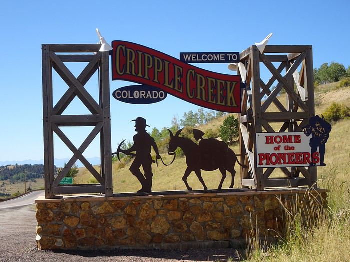 where we went back to fill up on gas.
Last look at this region we really liked, and off to Manitou Springs to get to know the first inhabitants of this amazing country!!!
where we went back to fill up on gas.
Last look at this region we really liked, and off to Manitou Springs to get to know the first inhabitants of this amazing country!!!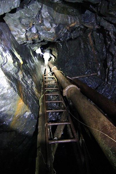
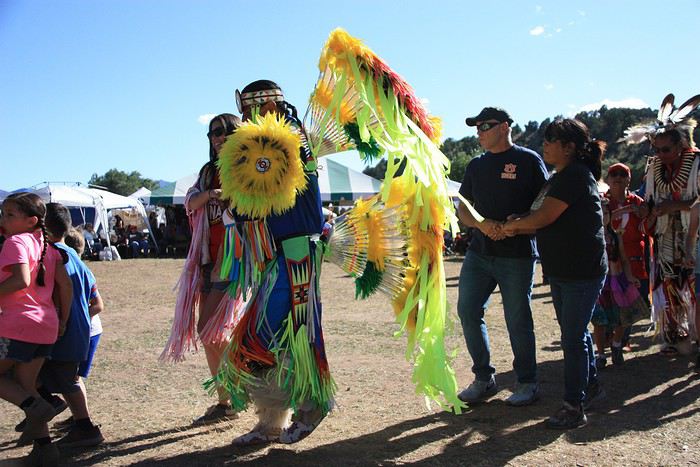
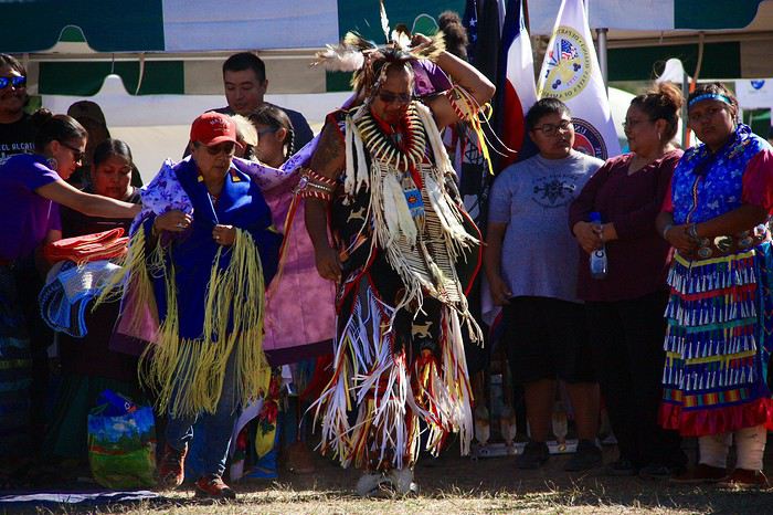
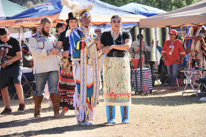
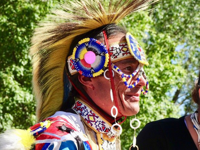
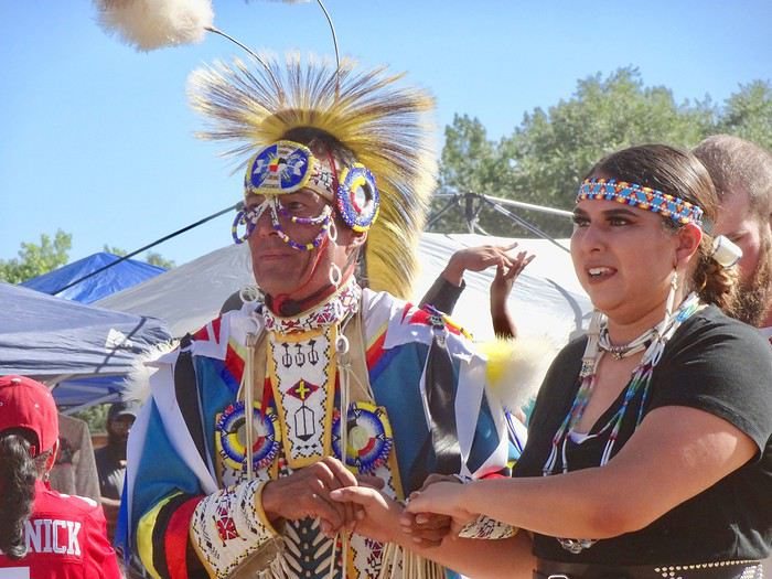
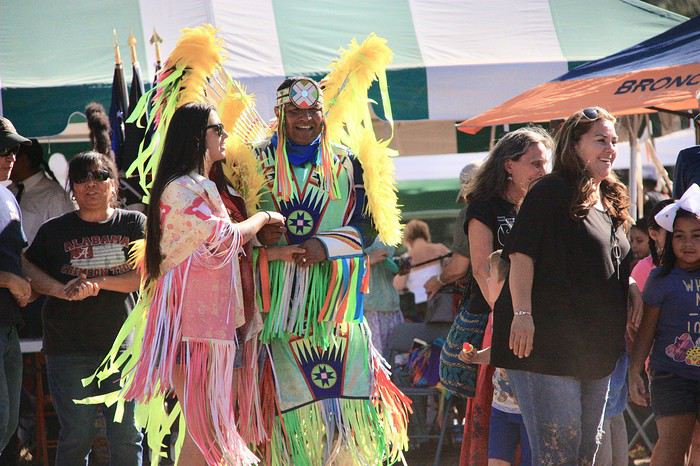

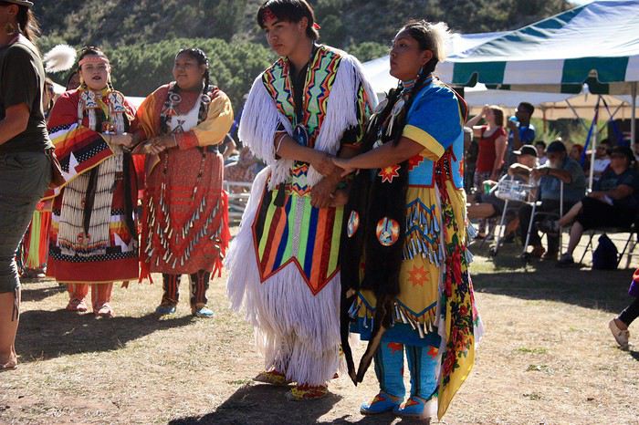

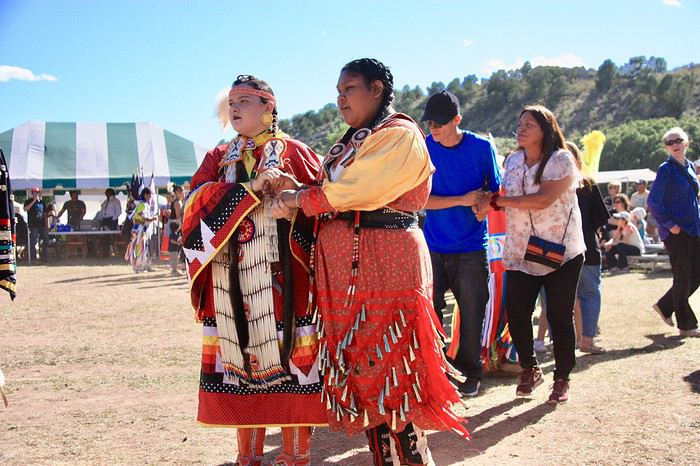
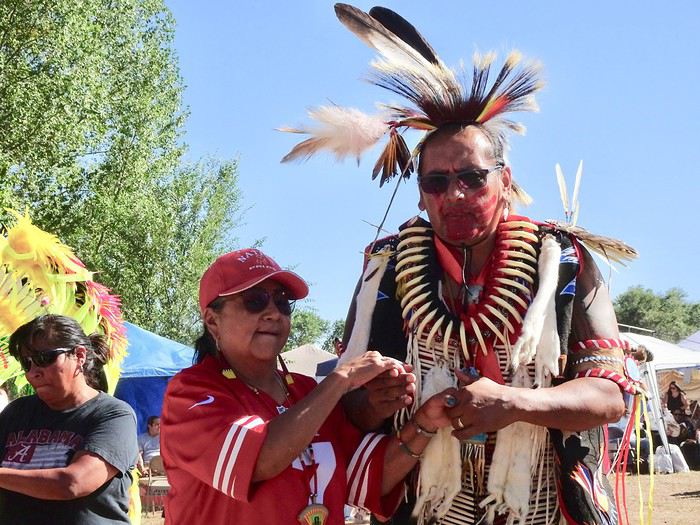
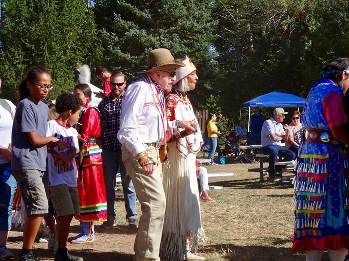
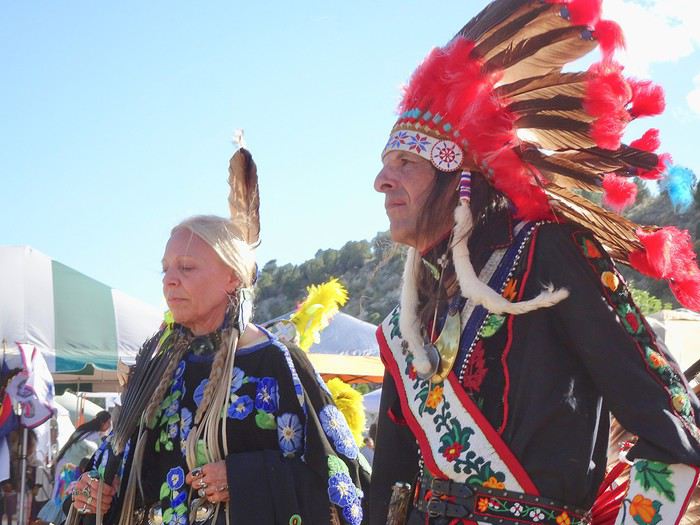
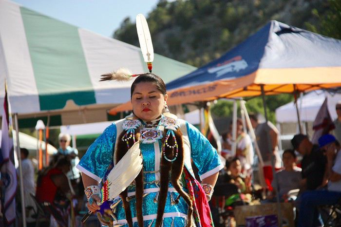
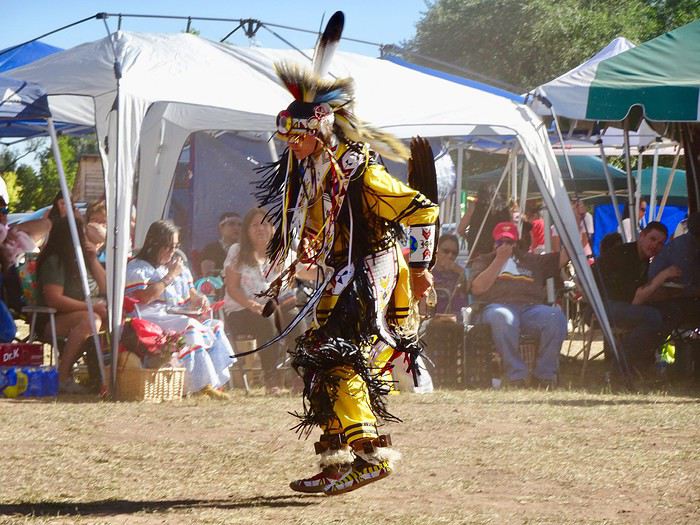
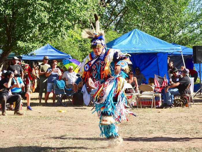
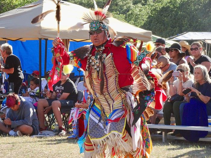
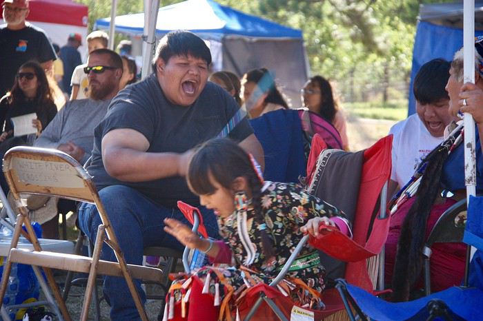 The costumes were all more beautiful than the last.
We were transported a thousand miles and a thousand years away from where we were, our hearts full of emotion.
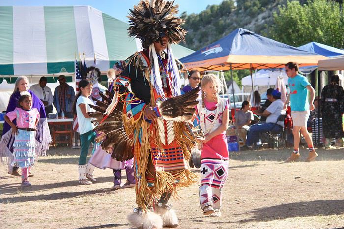
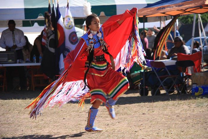
Next came the girls’ dances.
They ran, they jumped, all with so much grace.
The costumes were all more beautiful than the last.
We were transported a thousand miles and a thousand years away from where we were, our hearts full of emotion.
Next came the girls’ dances.
They ran, they jumped, all with so much grace.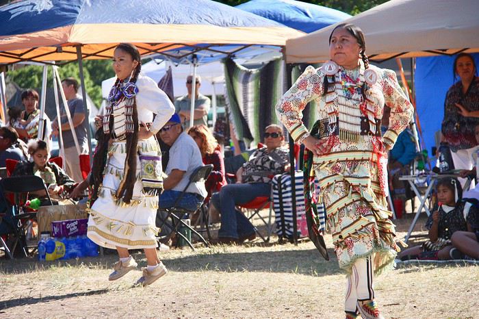
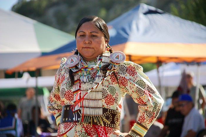
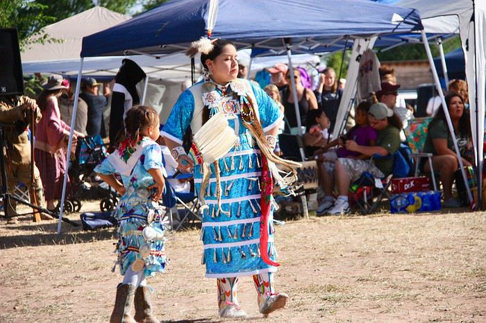
 Some of them were downright airborne!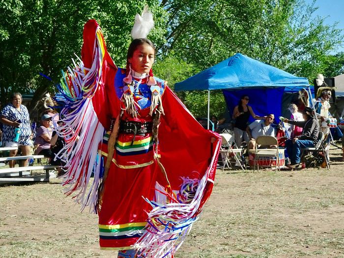

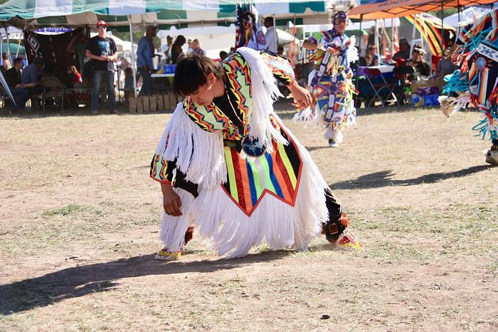
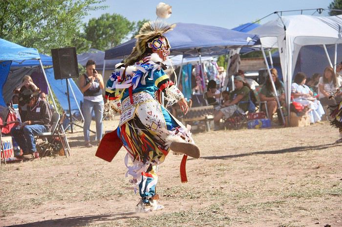
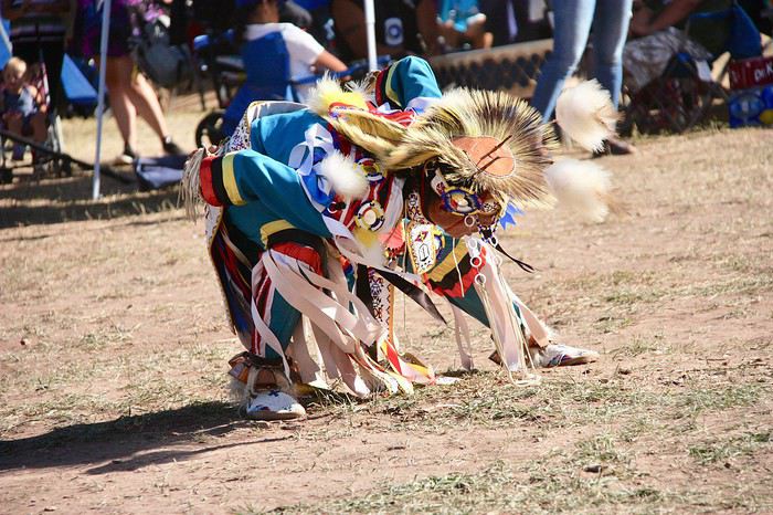
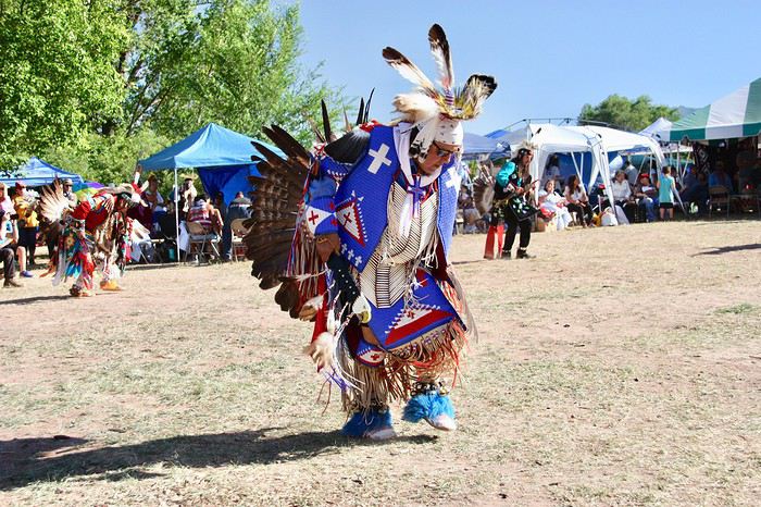
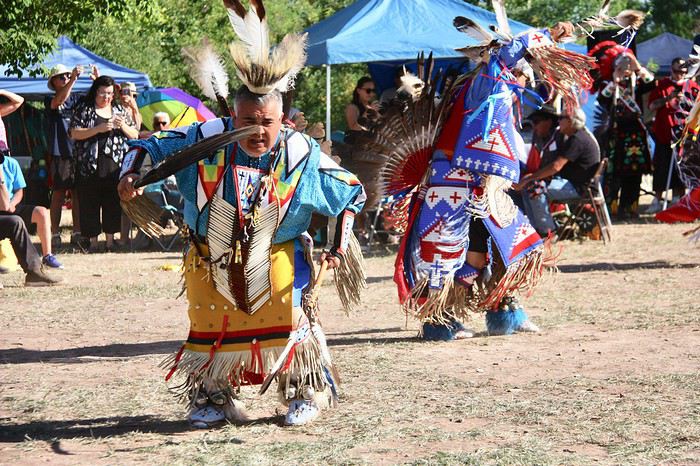
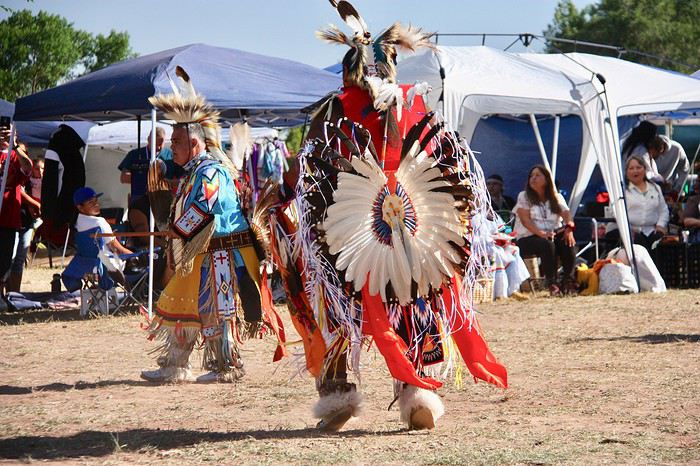
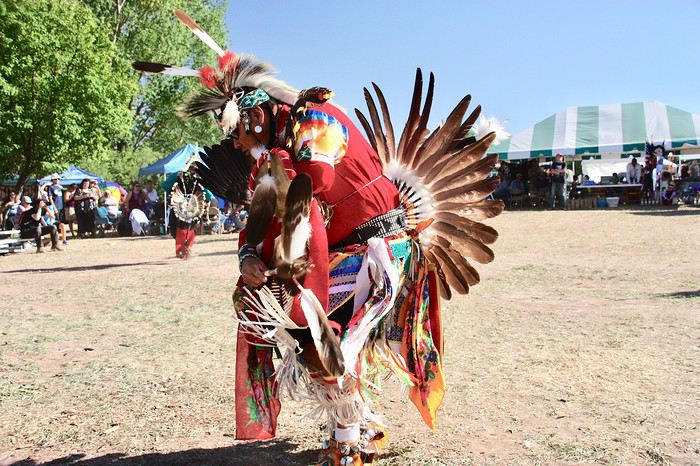
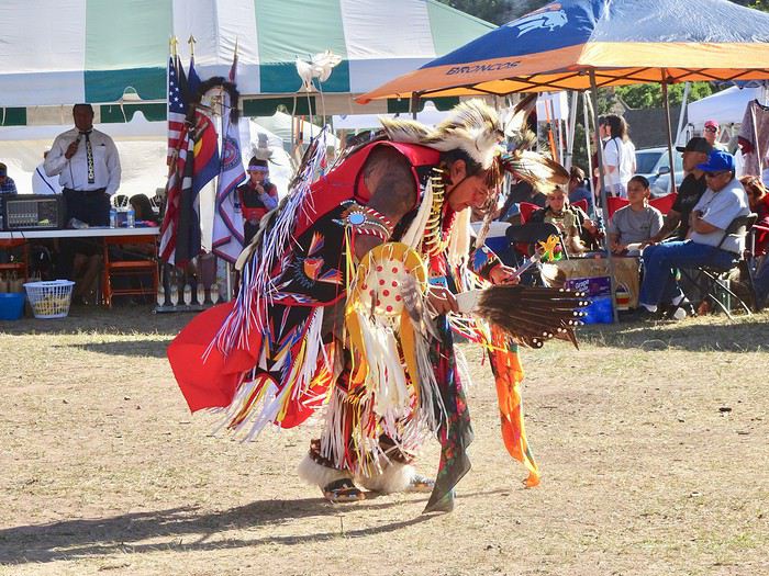
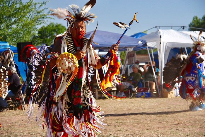
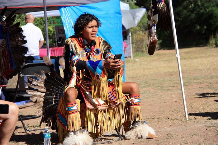
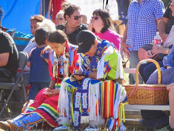
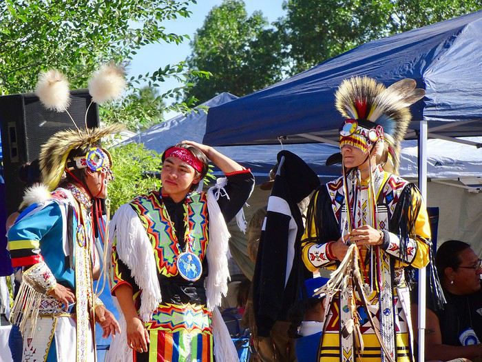
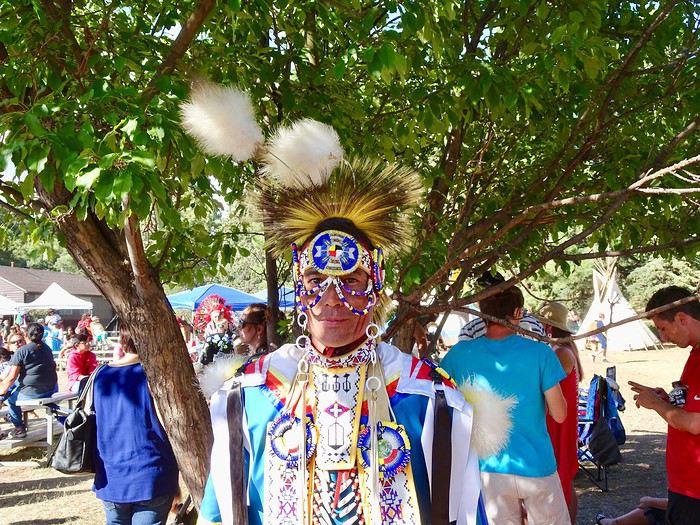
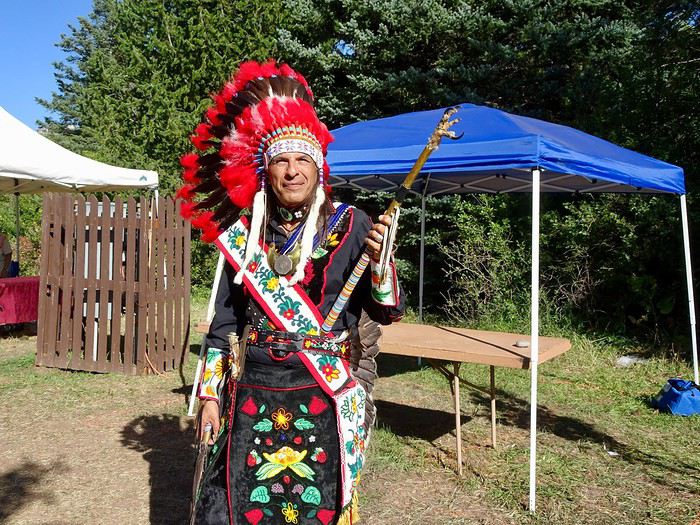
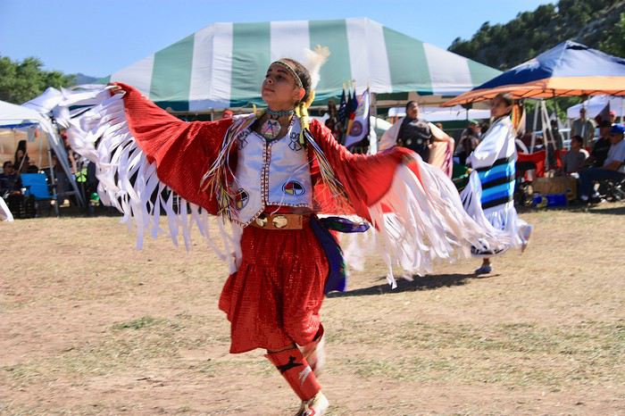
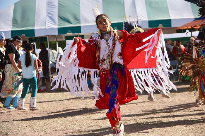
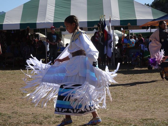
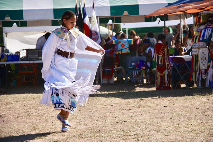
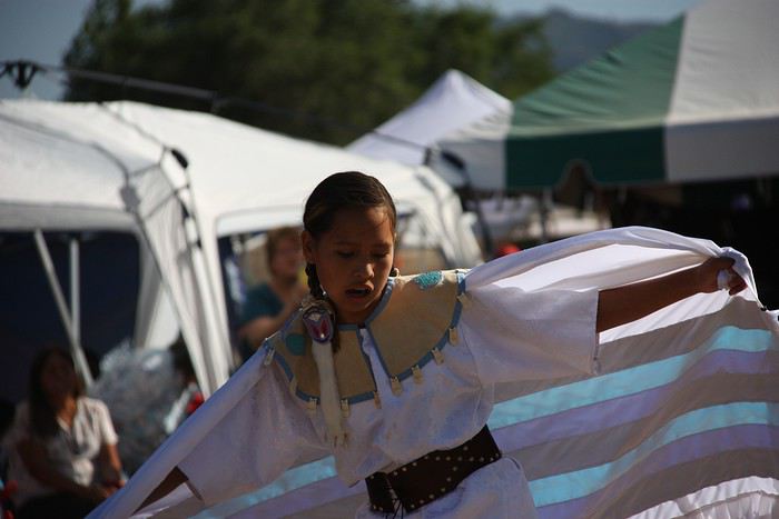
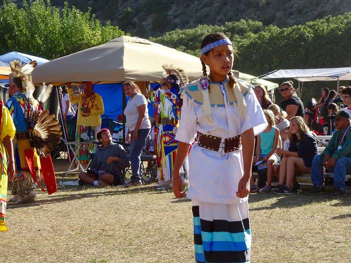
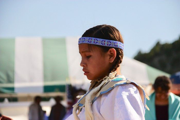
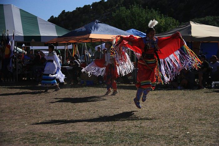
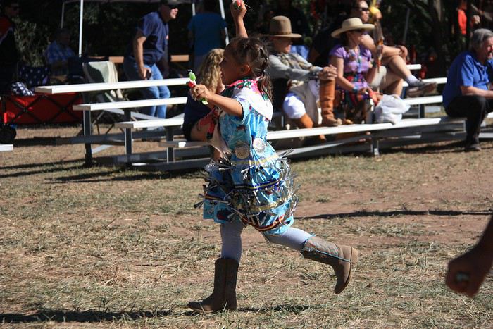
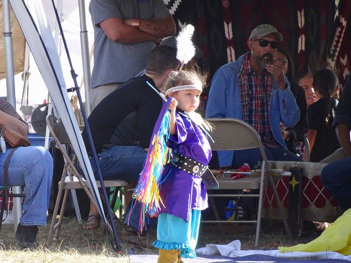
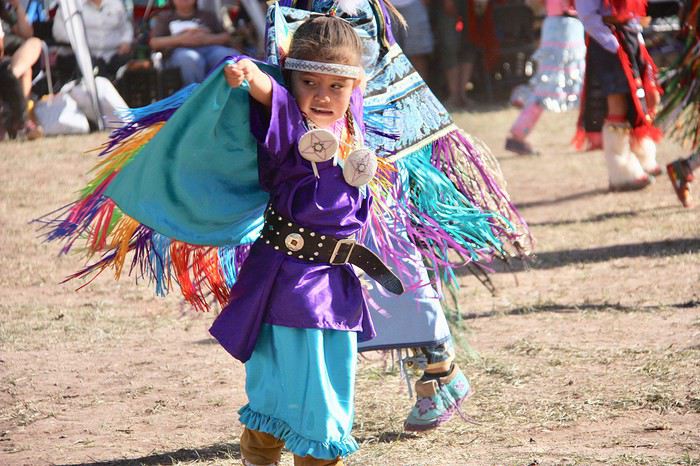
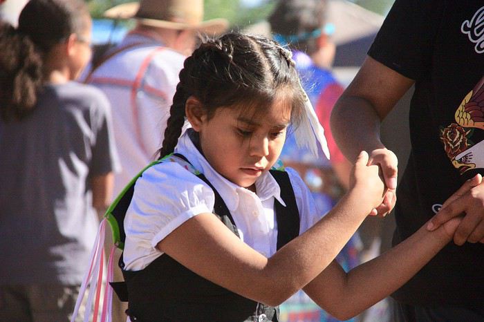
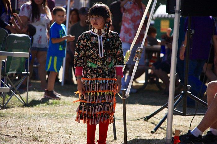
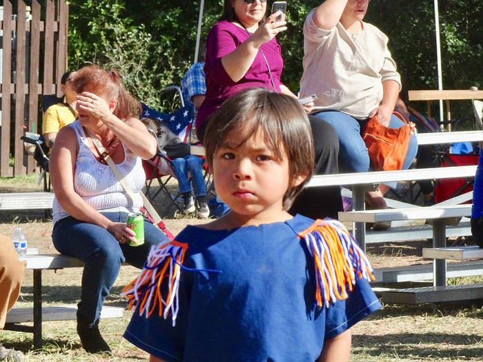
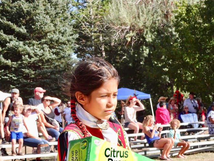
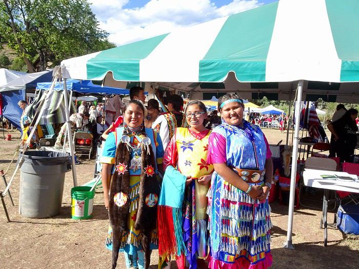
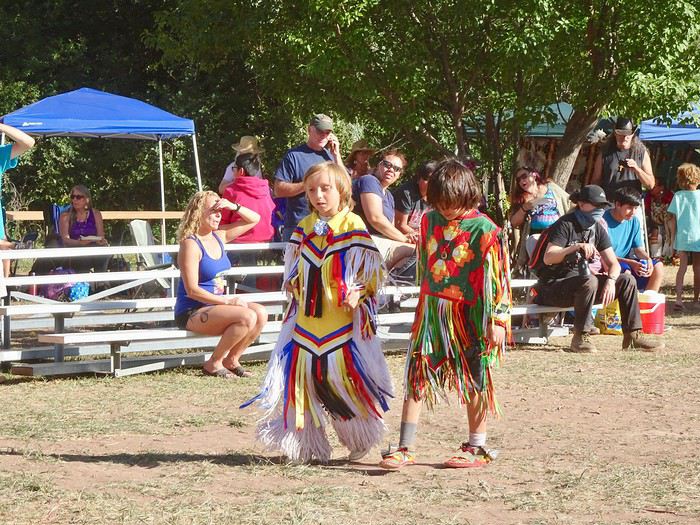
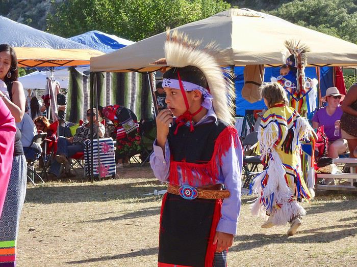
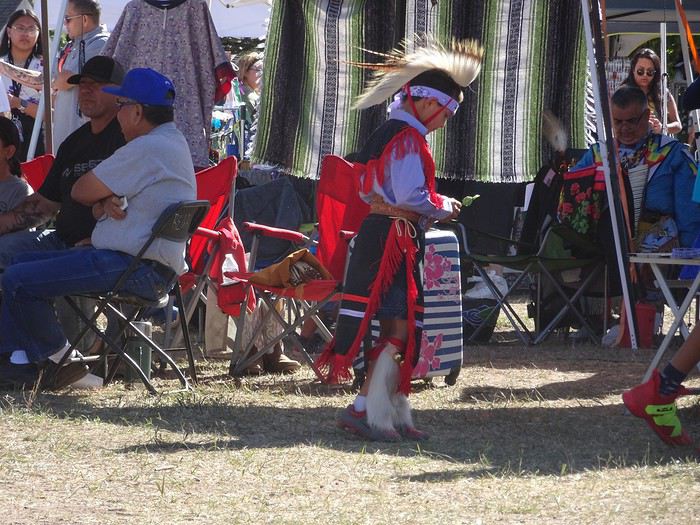
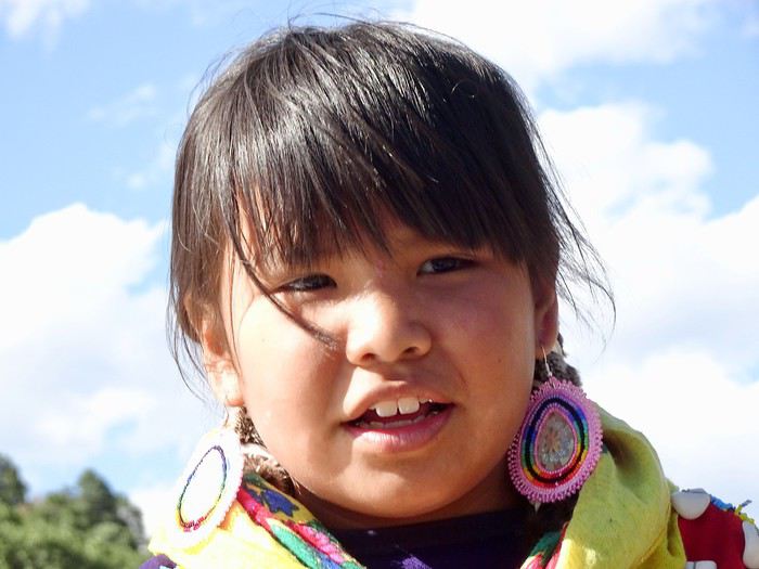 It’s such a joy to see that the next generation is stepping up!!
We were allowed to photograph the dancers until the moment we witnessed two young children receiving a feather in their hair.
The announcer asked us to stand up and stop taking photos or filming.
Everyone obeyed, stood up, and in silence, we watched this moment with the utmost respect.
Once again, I regret that my school-level English keeps me from understanding the subtleties of this ceremony.
5 PM!!! People are heading toward the exit!!!
We head back to the car, our heads full of everything we’ve seen and heard over these three hours!!
We truly witnessed an exceptional event!!!
What luck to have been in the right place at the right time again!!
Come on, the sun’s still out!!! We still have time to drive to the North entrance of Garden of the Gods to see some of its red rocks at sunset.
It’s such a joy to see that the next generation is stepping up!!
We were allowed to photograph the dancers until the moment we witnessed two young children receiving a feather in their hair.
The announcer asked us to stand up and stop taking photos or filming.
Everyone obeyed, stood up, and in silence, we watched this moment with the utmost respect.
Once again, I regret that my school-level English keeps me from understanding the subtleties of this ceremony.
5 PM!!! People are heading toward the exit!!!
We head back to the car, our heads full of everything we’ve seen and heard over these three hours!!
We truly witnessed an exceptional event!!!
What luck to have been in the right place at the right time again!!
Come on, the sun’s still out!!! We still have time to drive to the North entrance of Garden of the Gods to see some of its red rocks at sunset.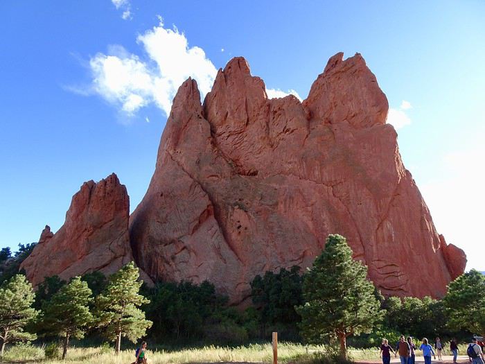
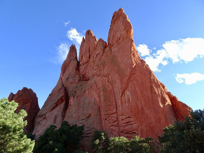 But as soon as we passed through the cliffs of North and South Gateway, we found bright sunshine!!! The sneaky things!!! They were hiding it!!!
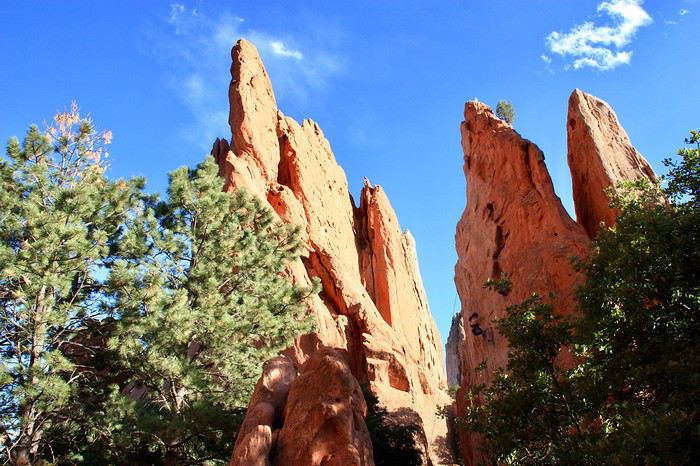
Some have made it their playground and are scaling the columns.
But as soon as we passed through the cliffs of North and South Gateway, we found bright sunshine!!! The sneaky things!!! They were hiding it!!!
Some have made it their playground and are scaling the columns.
 A sign at the entrance gives us info on the different formations and trails.
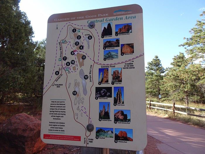
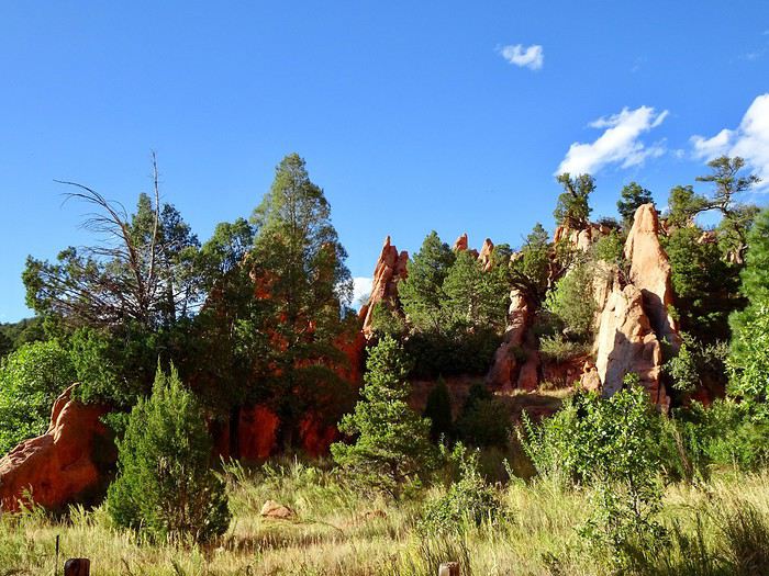
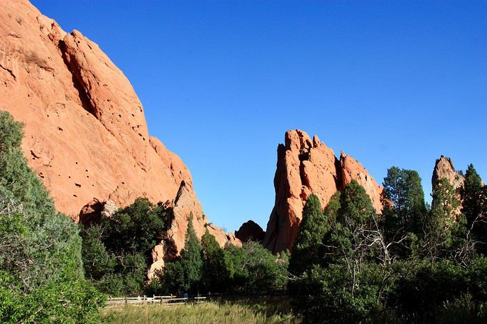
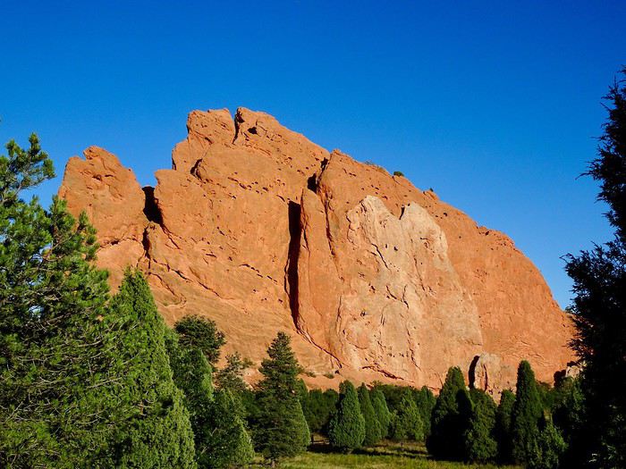
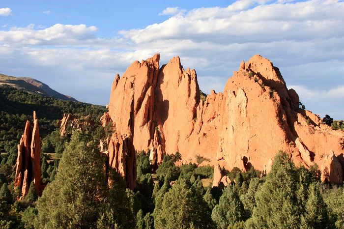
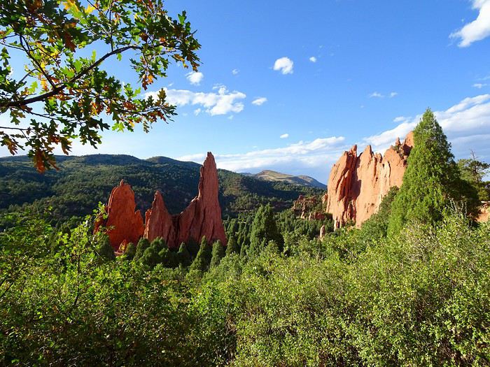 Some formations have very descriptive names:
Kissing Camel:
Some formations have very descriptive names:
Kissing Camel:
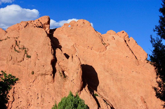
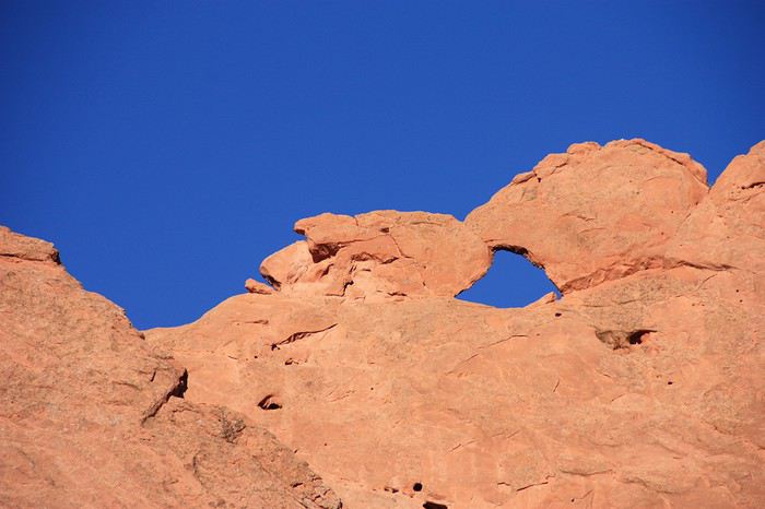 Sentinel Spire
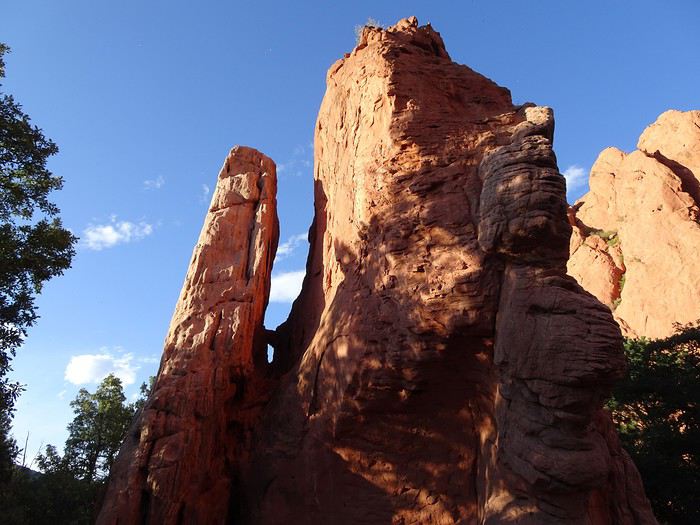
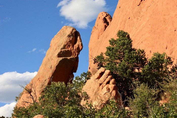 Three Graces
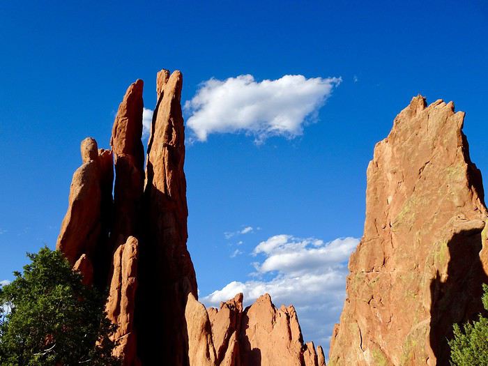 Cathedral Spire
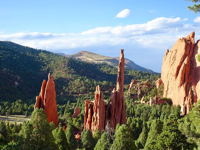
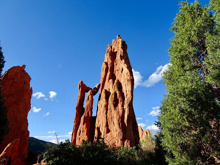 Sleeping Giant (in the background on the right)
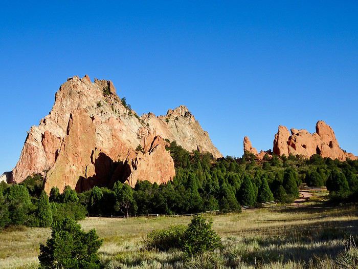
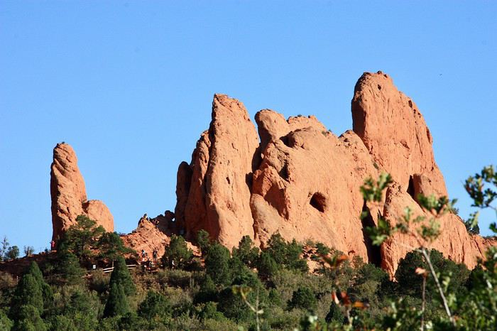 We continue toward the Sleeping Giant, first on paved paths, then we climb the red rock following the marked route.
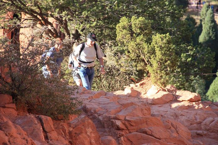
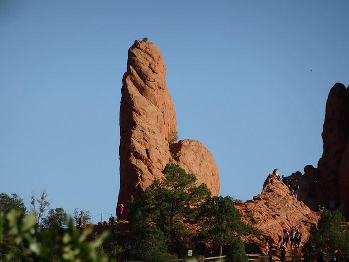 It’s worth noting the park is right in the city center, and it’s the weekend, so it’s great that everyone can enjoy these natural wonders!!!
Well, it’s time to head back to the hotel!!!
On the way down, we pass a ton of newlyweds capturing the moment in these amazing landscapes.
We skip the second hike we’d planned and head back to the hotel.
Mexican meal: $150 (way too expensive!!!) at Crystal Park Cantina!!!
In the bubbles of my hot tub, I’m thinking!!!
We’ve been in the U.S. for almost three weeks!!!
Oh no!!! The road trip is over!!! Tomorrow’s our last day!!! Time has flown by!!!
Come on, let’s not mope and enjoy the present moment to the fullest!!!
Tomorrow, we still have some amazing things to see!!!!
It’s worth noting the park is right in the city center, and it’s the weekend, so it’s great that everyone can enjoy these natural wonders!!!
Well, it’s time to head back to the hotel!!!
On the way down, we pass a ton of newlyweds capturing the moment in these amazing landscapes.
We skip the second hike we’d planned and head back to the hotel.
Mexican meal: $150 (way too expensive!!!) at Crystal Park Cantina!!!
In the bubbles of my hot tub, I’m thinking!!!
We’ve been in the U.S. for almost three weeks!!!
Oh no!!! The road trip is over!!! Tomorrow’s our last day!!! Time has flown by!!!
Come on, let’s not mope and enjoy the present moment to the fullest!!!
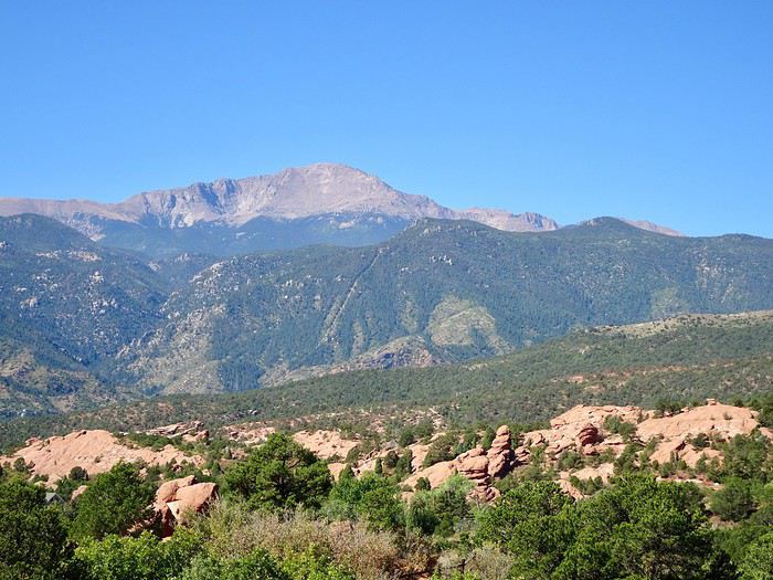
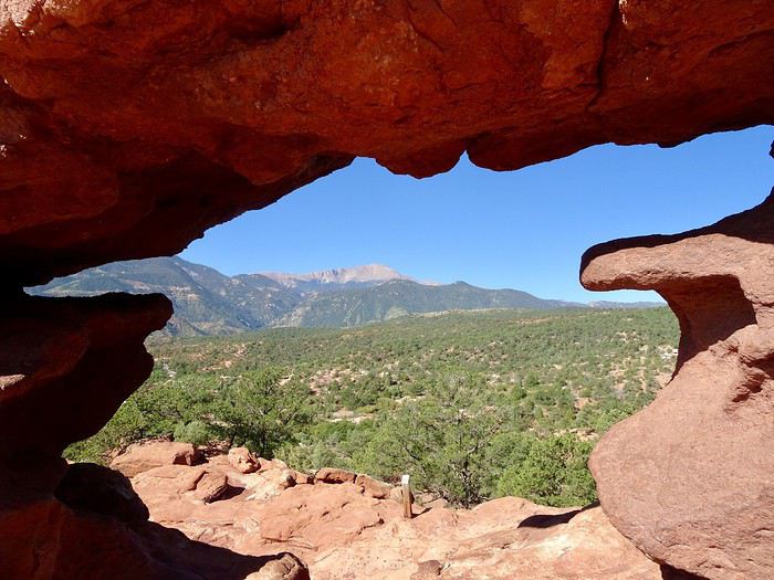
Tomorrow, we still have some amazing things to see!!!!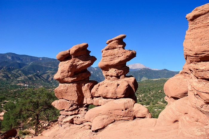 At the foot of these unique rocks, we’ve got an amazing view of the surrounding hills and the park’s formations, with the bare summit of Pikes Peak—4,301 meters high—looming in the background.
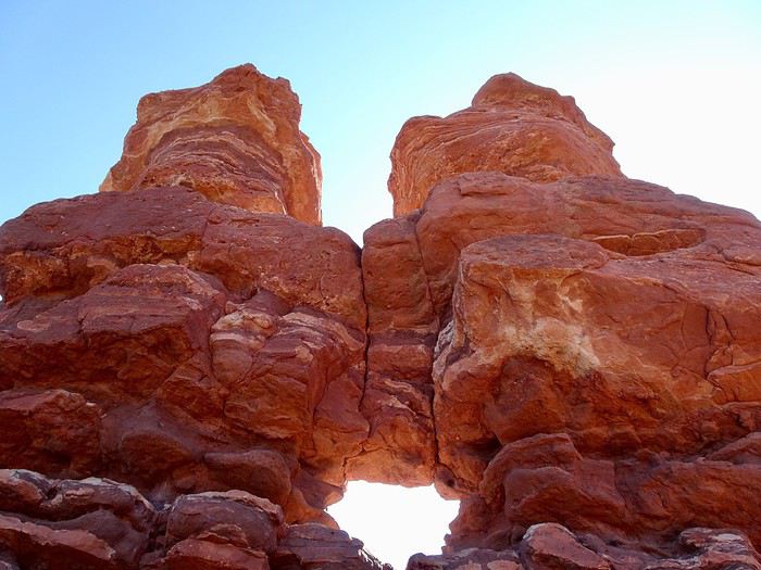
 We’re gonna photograph these conjoined twins from every angle—they’re stuck together at the belly.
They’re hilarious with their grumpy faces, crossed arms, and no smiles.
Ha, ha, ha—they remind me of DD when he’s mad!
We’re gonna photograph these conjoined twins from every angle—they’re stuck together at the belly.
They’re hilarious with their grumpy faces, crossed arms, and no smiles.
Ha, ha, ha—they remind me of DD when he’s mad!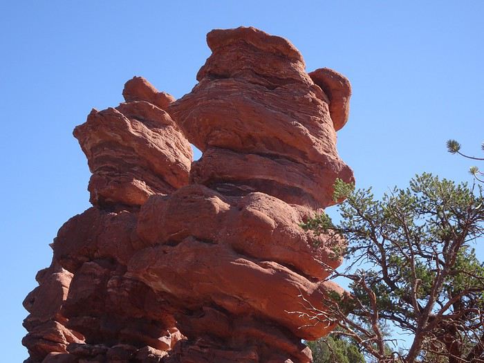 They’re seriously tall, though!
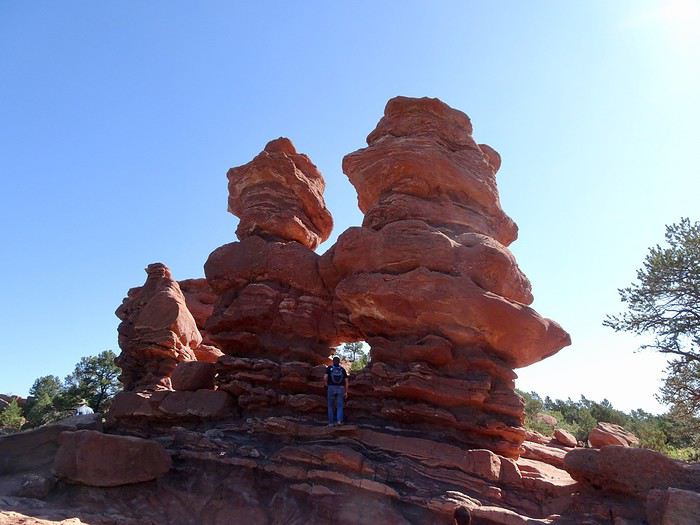 Still that vibrant red of the sandstone.
 The classic photo with Pikes Peak way in the back.
 Another pretty little hike—easy, too! This park is really something else.
We stop to make our last purchases at the huge Trading Post before photographing the impressive Balanced Rock just before leaving the park.
There’s a crowd around this giant, and we’re struggling to find a moment without anyone around it.
Another pretty little hike—easy, too! This park is really something else.
We stop to make our last purchases at the huge Trading Post before photographing the impressive Balanced Rock just before leaving the park.
There’s a crowd around this giant, and we’re struggling to find a moment without anyone around it.
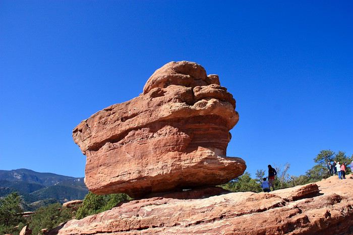 Quick, it’s finally alone!
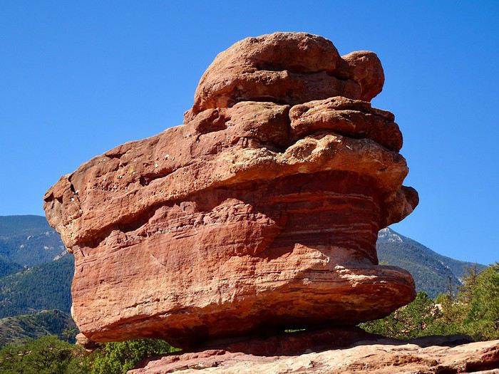 Alright, that’s enough—we’ve got quite a few kilometers to go before reaching Calhan, where the last wonder of this incredible state of Colorado awaits.
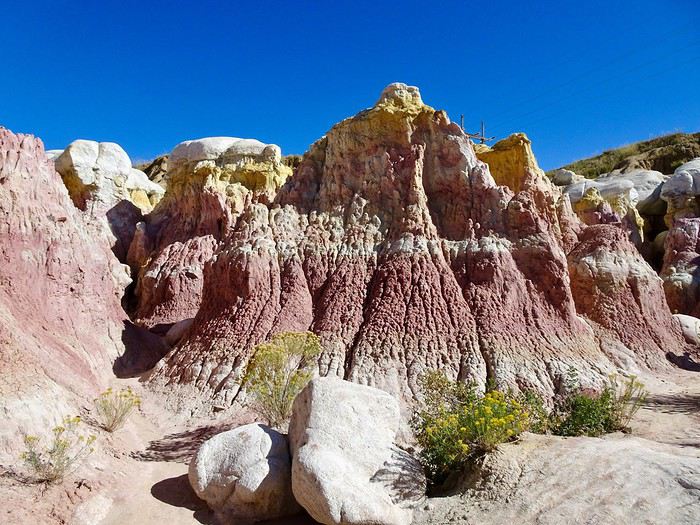
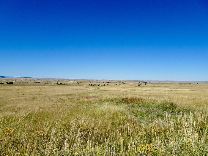 The site is 1.6 km from the town in the middle of nowhere.
It’s a geological wonder where Native Americans collected clay 9,000 years ago to color their pottery and for war paint on their bodies and horses.
The vibrant color bands are caused by oxidized iron compounds found in varying amounts in the different clay layers.
Mother Nature, through wind, water, and erosion, has carved ravines, caves, hoodoos, and canyons, with trails winding through them.
The site is 1.6 km from the town in the middle of nowhere.
It’s a geological wonder where Native Americans collected clay 9,000 years ago to color their pottery and for war paint on their bodies and horses.
The vibrant color bands are caused by oxidized iron compounds found in varying amounts in the different clay layers.
Mother Nature, through wind, water, and erosion, has carved ravines, caves, hoodoos, and canyons, with trails winding through them.
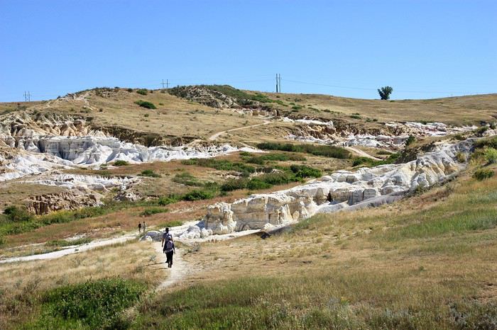 Before climbing gently up the sandy path on the hill
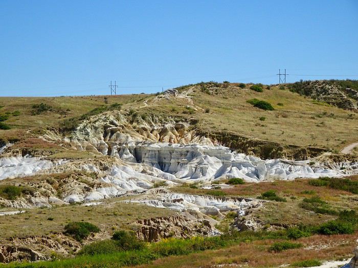 we start with a small canyon
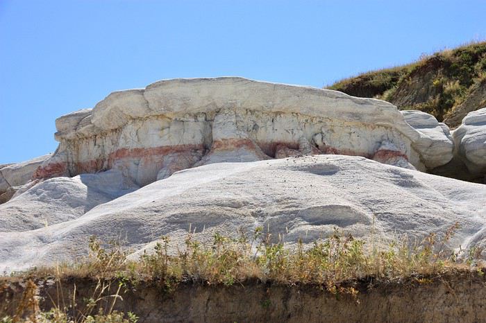
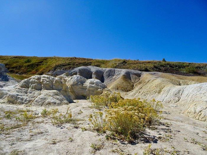
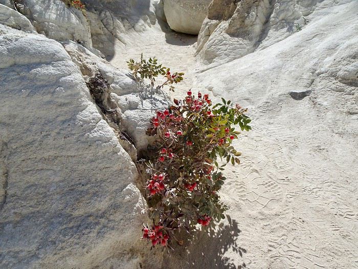
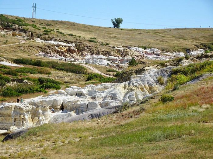 We walk through sturdy, light-colored rocks—white with hints of orange and pale yellow—occasionally passing columns and small flowers that add a splash of color.
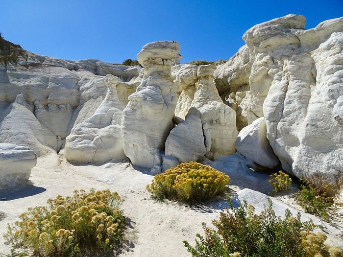
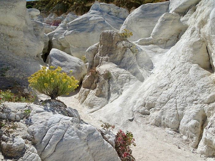
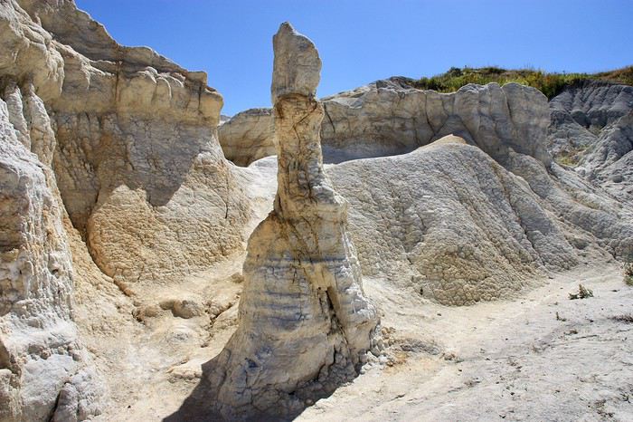
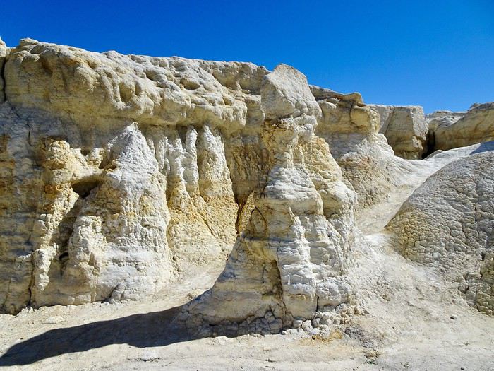
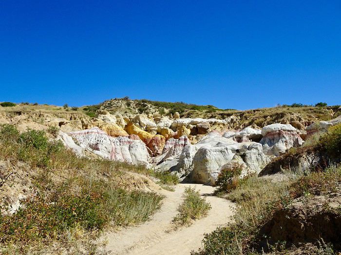
 We continue our walk, and more colors appear—darker pinks and flaming yellows.
 The rocks grow taller.
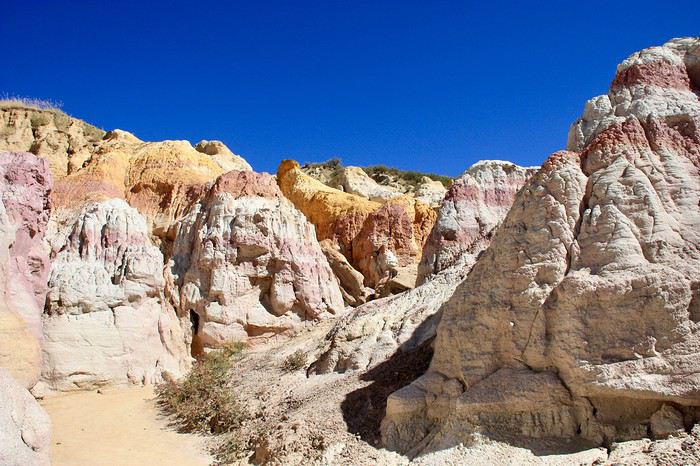
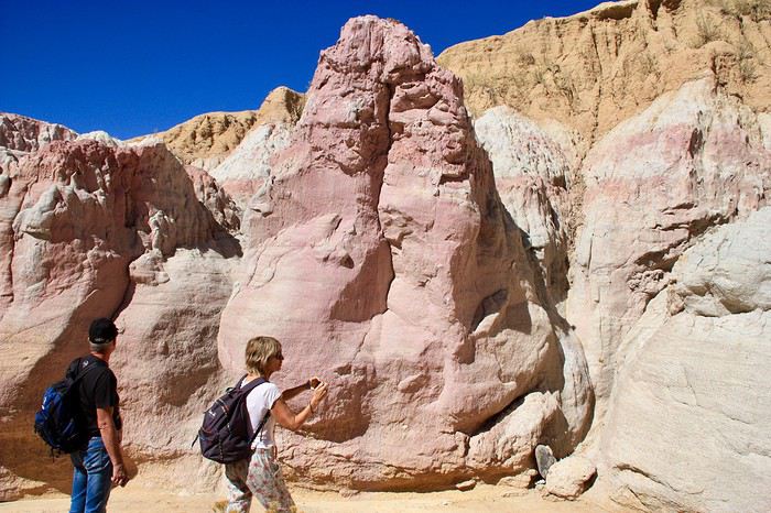 The colors become more and more vivid—it’s stunning.
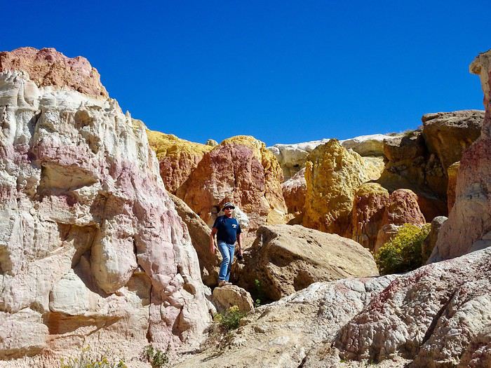
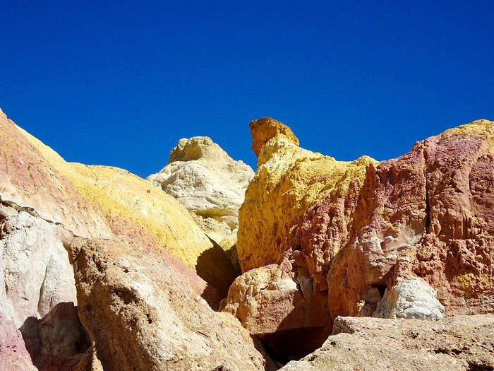 We run into an American woman with her kids. She tells us there’s a cave a little further on. Off we go to the cave!
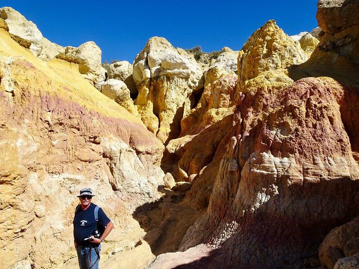 We spot it in the distance and follow the little path behind the flowers.
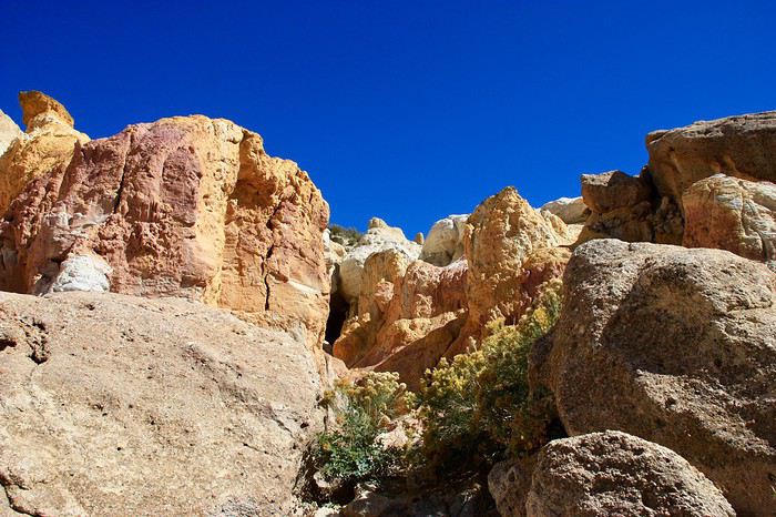 It’s easy to access.
The walls are high and narrow, and the yellows blaze—everything seems lit up. It’s breathtaking.
It’s easy to access.
The walls are high and narrow, and the yellows blaze—everything seems lit up. It’s breathtaking.
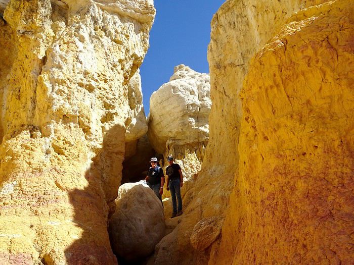
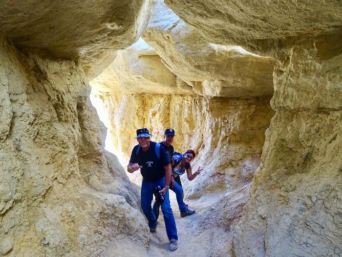 From the "fire cave," we can still see beautiful formations with the drivable road in the prairie just above.
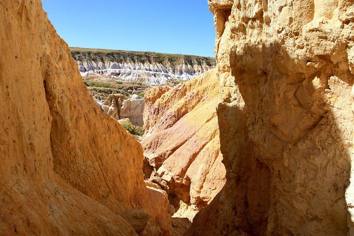
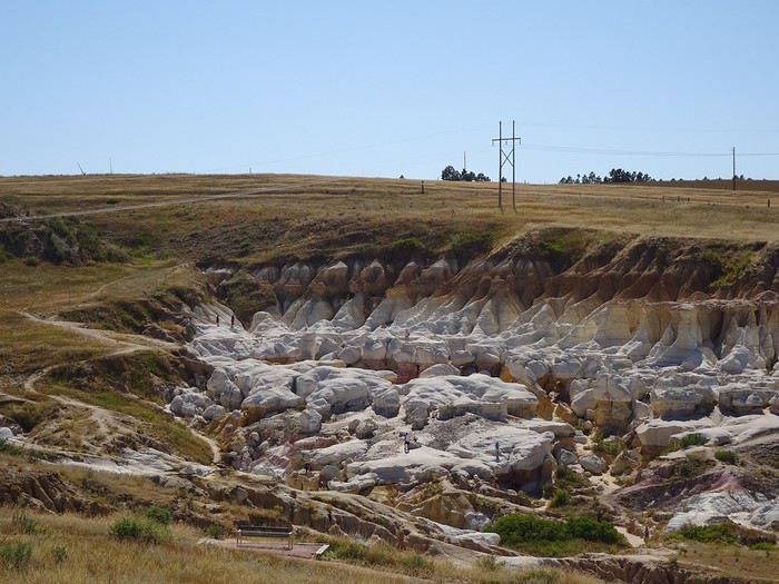

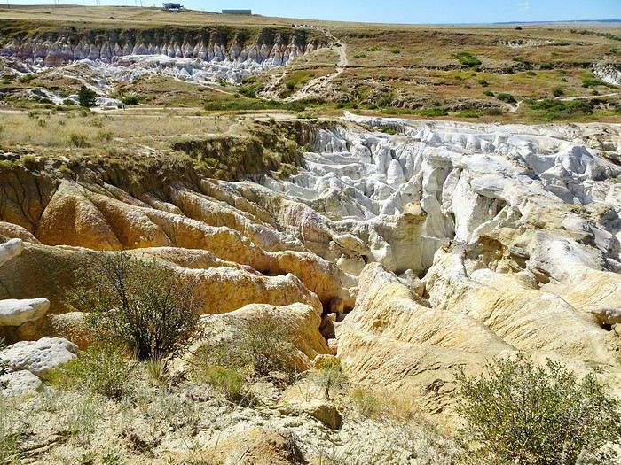
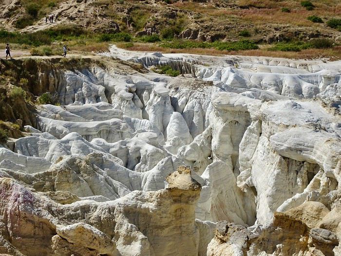 Still the vastness.
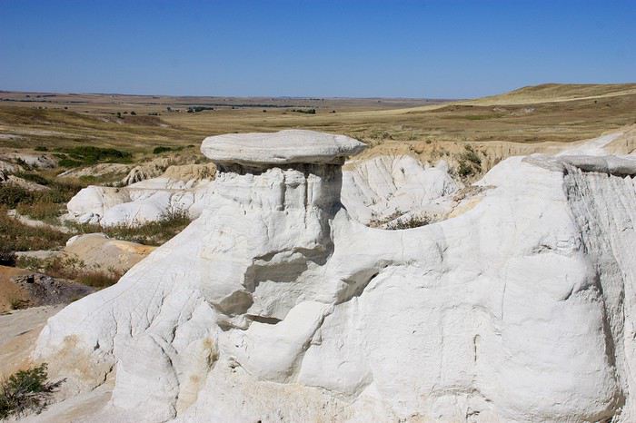 At the foot of the overlook, at the top of the prairie, more formations.
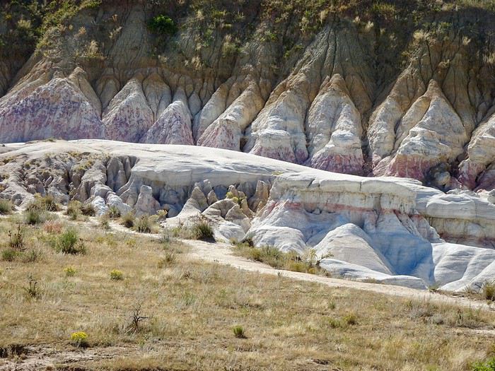 We keep going.
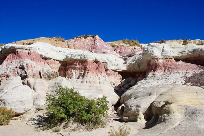 Again, the formations change as we walk along.
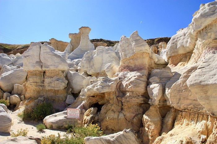
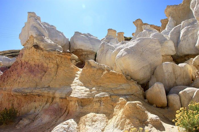 Funny little white “balls” appear on the spires and rocks.
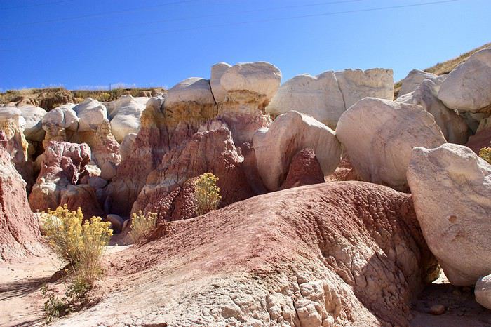
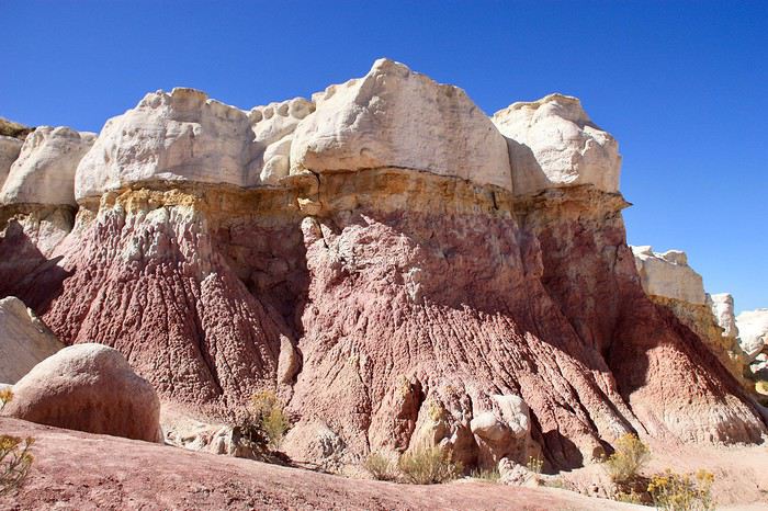 We don’t know where to look anymore!!!
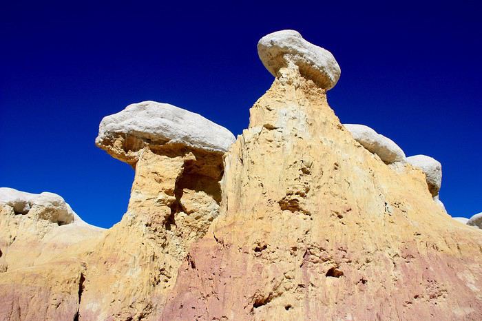
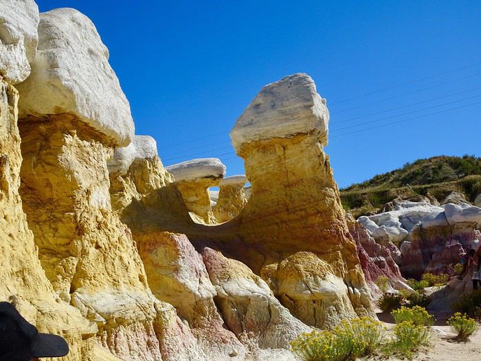
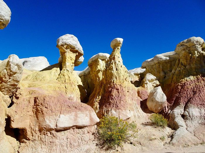
 We could’ve kept going and explored more of the site’s trails, but it’s time to head back to Manitou Springs. We need to find a laundromat to clean the car and pack our bags—even though we don’t have any, and really, really don’t feel like it.
We head back to the parking lot, still admiring this stunning place.
We could’ve kept going and explored more of the site’s trails, but it’s time to head back to Manitou Springs. We need to find a laundromat to clean the car and pack our bags—even though we don’t have any, and really, really don’t feel like it.
We head back to the parking lot, still admiring this stunning place.
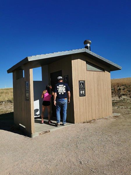
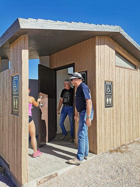
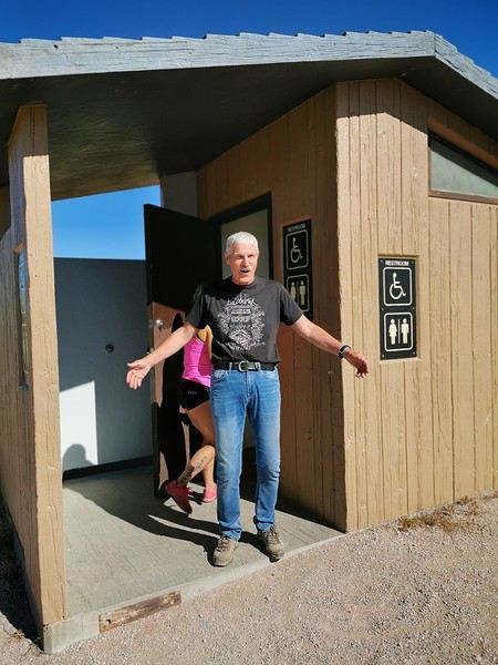 Seriously, after the stuck door in the Badlands and the one that wouldn’t close in our sketchy Rock Springs neighborhood, our relationship with doors ends on a high note with Maumau locked in a restroom in the middle of nowhere.
Our friend was already imagining having to break the window to escape!!
More fear than harm—we’re laughing our heads off as we hit the road back to Manitou Springs.
We find a laundromat right next to the hotel. It’s not great, honestly—we leave a ton of quarters in a vacuum that doesn’t suck up anything—but it should do the trick with the rental company.
It’s too late to explore the town. What a shame!!
Great meal at Manitou Brewing Company, 725 Manitou Avenue (100 € for 3 burgers, 1 wings order, and 4 beers).
We take a little nighttime stroll, then head back for our last night in the U.S.
Seriously, after the stuck door in the Badlands and the one that wouldn’t close in our sketchy Rock Springs neighborhood, our relationship with doors ends on a high note with Maumau locked in a restroom in the middle of nowhere.
Our friend was already imagining having to break the window to escape!!
More fear than harm—we’re laughing our heads off as we hit the road back to Manitou Springs.
We find a laundromat right next to the hotel. It’s not great, honestly—we leave a ton of quarters in a vacuum that doesn’t suck up anything—but it should do the trick with the rental company.
It’s too late to explore the town. What a shame!!
Great meal at Manitou Brewing Company, 725 Manitou Avenue (100 € for 3 burgers, 1 wings order, and 4 beers).
We take a little nighttime stroll, then head back for our last night in the U.S.Log in first, then come back to this page.
 De Seattle à Denver, un autre OuestFR
 Off on a winter adventure in the American West!
 Un cinquième voyage aux États-Unis raconté à ma façon!FR
 Antelope Canyon, Horseshoe Bend, etc,... "overcrowded"!FR
 West USA Road Trip August 2022
 Back to the wild west. Sur la route des bisons... et des cailloux!FR

 On the right, the "welcome marker"—those dates offered everywhere as a sign of hospitality. On the left, a tribute to those stunning doors worn by time, admired all over the old quarters, including the abandoned ones.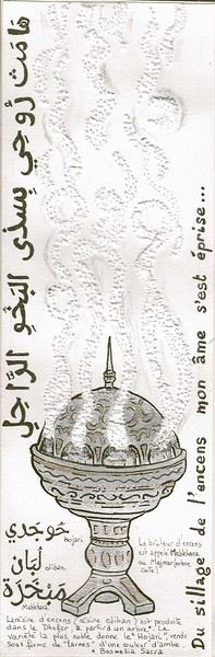
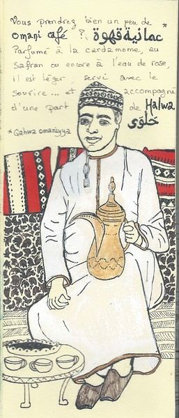 Hospitality will often lead you to accept a small coffee, an "Omani coffee," very light, subtly flavored with cardamom, maybe a touch of saffron, and occasionally rosewater.
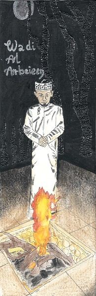
Here, I’ve depicted a man in the common everyday attire of Omanis: the dishdasha, mostly white (during the week and daytime; colors are more common in the evening or on Fridays and Saturdays). While you’ll see some men dressed in Western clothes, they’re very few. The white dishdasha is truly the shared attire of all men. The dishdasha, which has no hood, is distinguished by a small pom-pom attached to the collar, the furakha, which is soaked in perfume. And believe me, Omanis go overboard with it! "It smells like the pom-pom" is an expression that’s now part of our shared language, my husband and I.
Another must of men’s attire is the kuma, a small round head covering, usually white with brightly colored patterns. The keffiyeh is also worn (but without the cord called an agal in Arab countries), and it’s mostly worn by those with roots in the desert, from what I understood.
And what about the women, you might ask? Some are veiled, some in full black (but not a burka—more like a chador + abaya), due to the influence of Saudi Arabia and the United Arab Emirates, whereas the traditional outfit used to be a layering of very colorful dresses. Most of the women we saw wore neutral clothing, a plain veil over their hair, but with their faces uncovered. We also saw many saris and colorful veils—don’t forget that 40% of the population consists of Indian, Nepalese, and Bangladeshi immigrants, who work a lot in tourism, hospitality, restaurants, services, and construction.
Just to clarify, as a tourist, there’s no pressure to wear a veil, and never any disapproving looks. Of course, you’ll save the mini shorts, plunging necklines, bare shoulders, and midriffs for the hotel terrace—but I’d say that’s the same for men and women, and with the sun being strong, it’s better for your skin too.
Here’s the introduction! In the next post, I’ll tell you about my itinerary, and we can dive in!
Hospitality will often lead you to accept a small coffee, an "Omani coffee," very light, subtly flavored with cardamom, maybe a touch of saffron, and occasionally rosewater.
Here, I’ve depicted a man in the common everyday attire of Omanis: the dishdasha, mostly white (during the week and daytime; colors are more common in the evening or on Fridays and Saturdays). While you’ll see some men dressed in Western clothes, they’re very few. The white dishdasha is truly the shared attire of all men. The dishdasha, which has no hood, is distinguished by a small pom-pom attached to the collar, the furakha, which is soaked in perfume. And believe me, Omanis go overboard with it! "It smells like the pom-pom" is an expression that’s now part of our shared language, my husband and I.
Another must of men’s attire is the kuma, a small round head covering, usually white with brightly colored patterns. The keffiyeh is also worn (but without the cord called an agal in Arab countries), and it’s mostly worn by those with roots in the desert, from what I understood.
And what about the women, you might ask? Some are veiled, some in full black (but not a burka—more like a chador + abaya), due to the influence of Saudi Arabia and the United Arab Emirates, whereas the traditional outfit used to be a layering of very colorful dresses. Most of the women we saw wore neutral clothing, a plain veil over their hair, but with their faces uncovered. We also saw many saris and colorful veils—don’t forget that 40% of the population consists of Indian, Nepalese, and Bangladeshi immigrants, who work a lot in tourism, hospitality, restaurants, services, and construction.
Just to clarify, as a tourist, there’s no pressure to wear a veil, and never any disapproving looks. Of course, you’ll save the mini shorts, plunging necklines, bare shoulders, and midriffs for the hotel terrace—but I’d say that’s the same for men and women, and with the sun being strong, it’s better for your skin too.
Here’s the introduction! In the next post, I’ll tell you about my itinerary, and we can dive in!




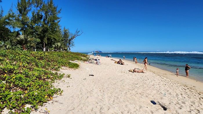
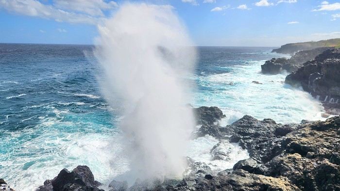
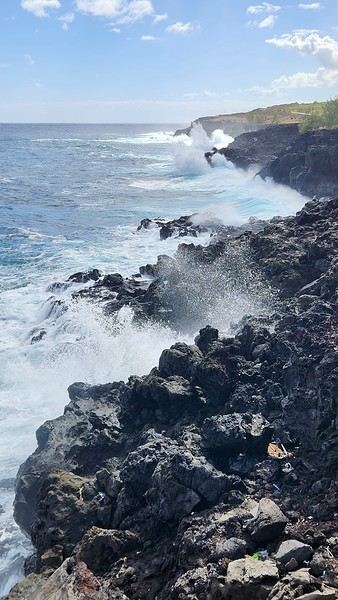
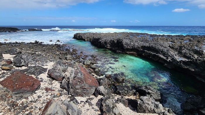
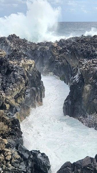

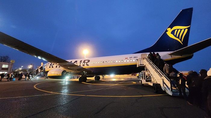
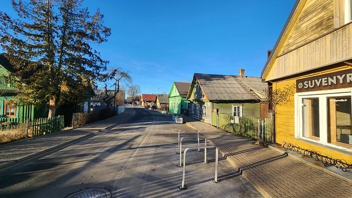






 The large solidified magma massifs that shape the heart of the island have created a large depression more protected from the sun at its center, allowing the growth of a vast laurel forest, today grouped within the Garajonay National Park, La Gomera’s green lung, which has earned it the status of a World Biosphere Reserve. Its completely European appearance contrasts sharply with the rocky and tropical landscapes of the rest of the island. Thus, the climate varies greatly from one point to another on the island: in summer, you can quickly go from a dry and sunny valley at 35°C to a humid forest area at altitude at 18°C.
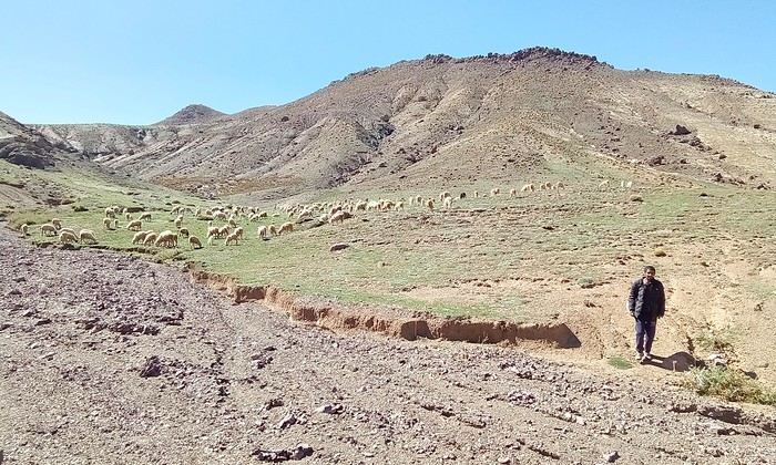
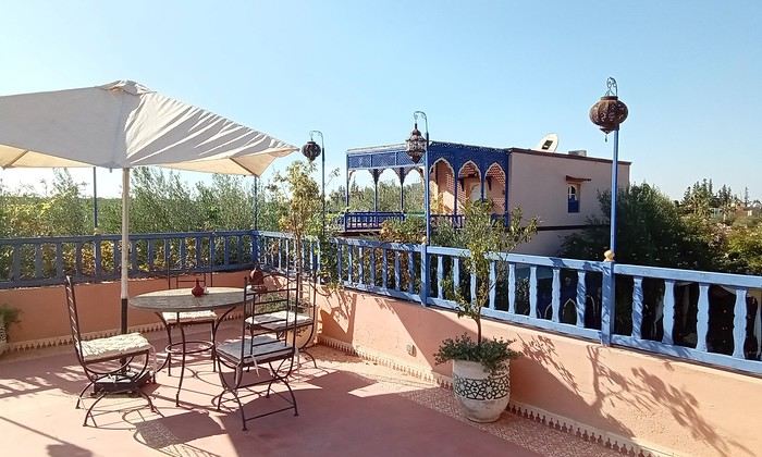
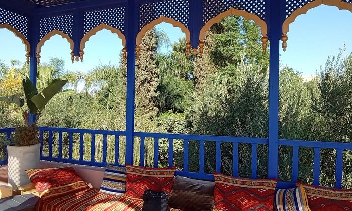 Last October, we landed in Marrakech to spend a few days with family exploring Morocco’s roads.
Transport: a rented Dacia.
Accommodations: small guesthouses.
Last October, we landed in Marrakech to spend a few days with family exploring Morocco’s roads.
Transport: a rented Dacia.
Accommodations: small guesthouses.
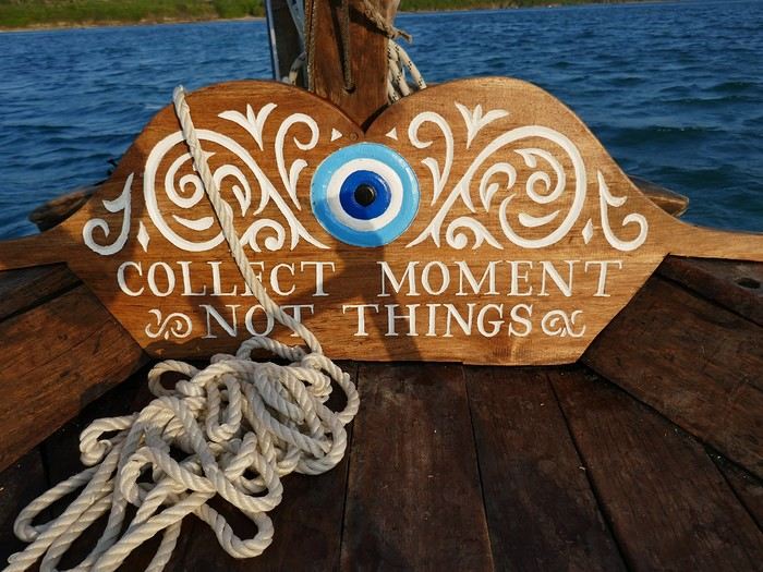
 Come along, I'm taking you to this country where it's so nice to wander and slow down...
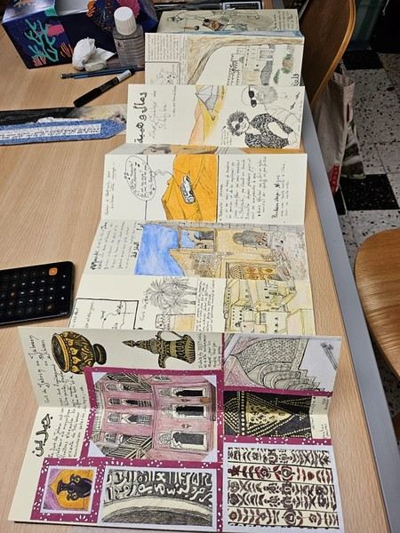
 I’m inviting you on a stroll through my drawings—a completely subjective, far from exhaustive, and totally personal take, since it’s based on my own sketches. I put this travel journal together after returning in late 2024, mostly using felt-tip pens and pencils, with a few collages thrown in. I worked from our personal photos.
 And in Kyoto, Nishiki Market:

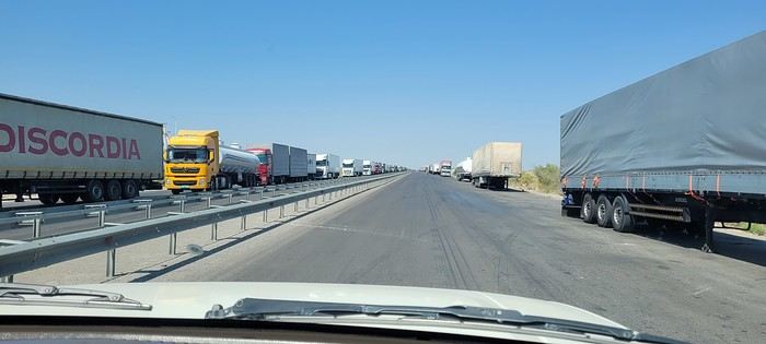
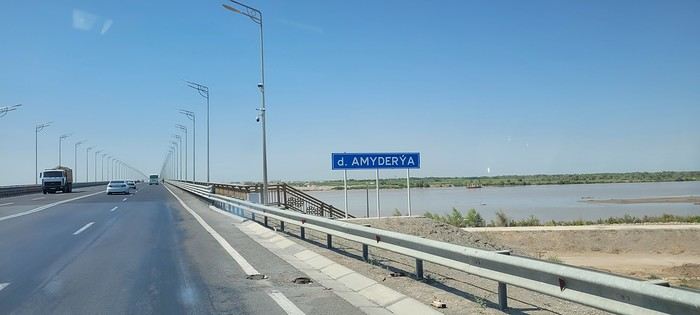
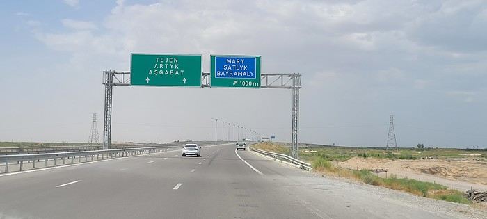
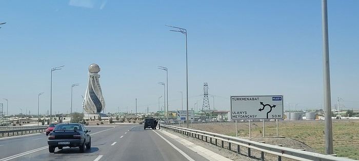
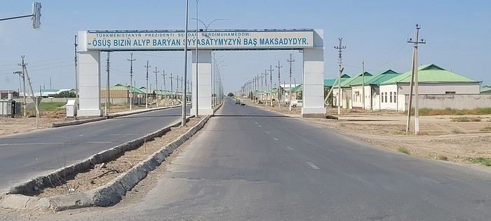
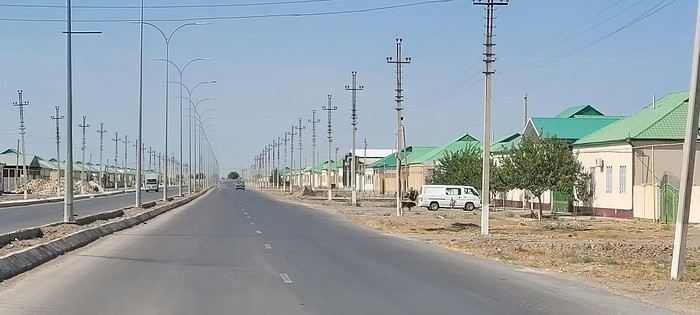 Roundabouts are particularly interesting because they feature emblems of Turkmen culture, like the dog, a carpet, the Ahal Teke horse, or Muslim symbols, even though the presence of Islamic artifacts is quite limited.
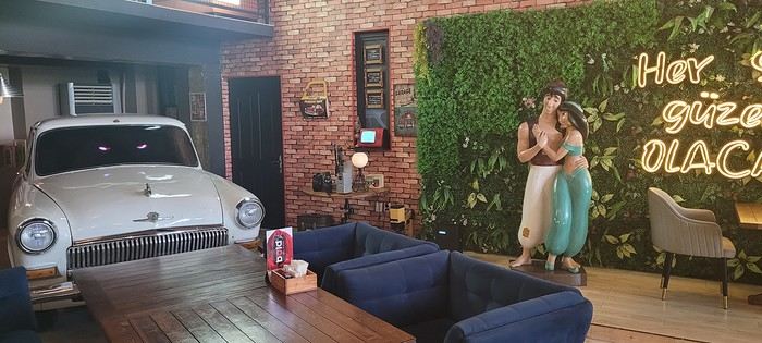


 A little sneak peek?









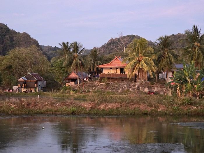
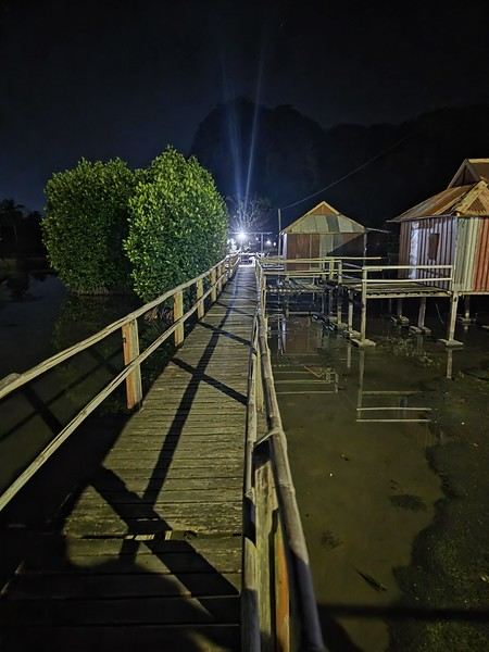
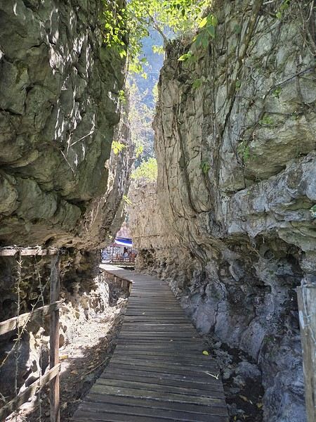
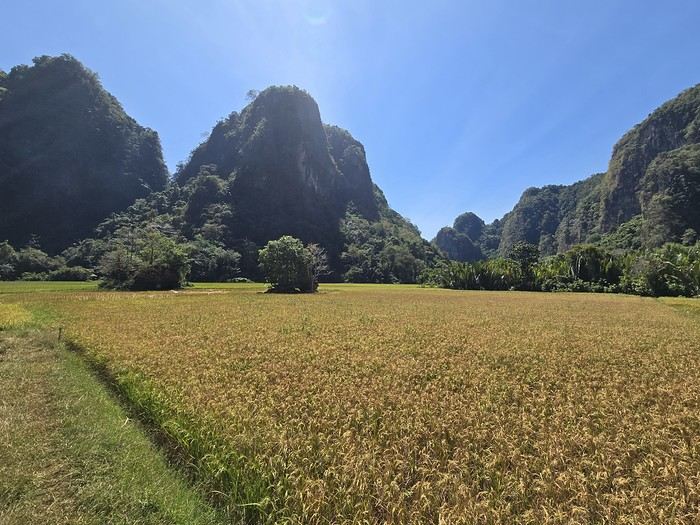
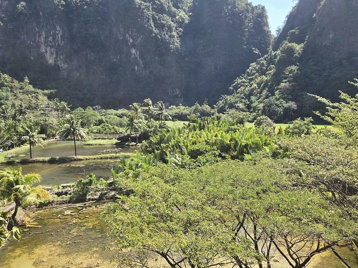
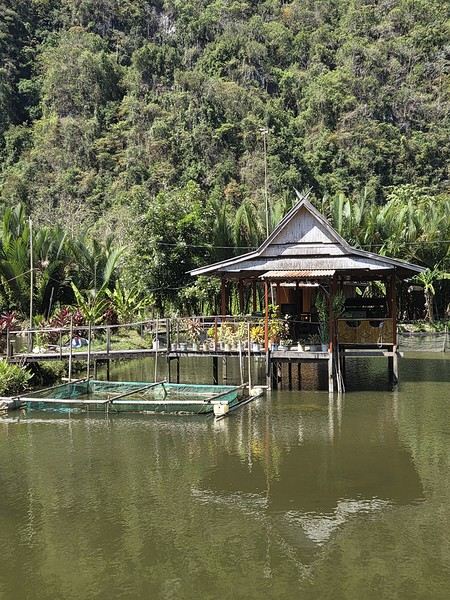
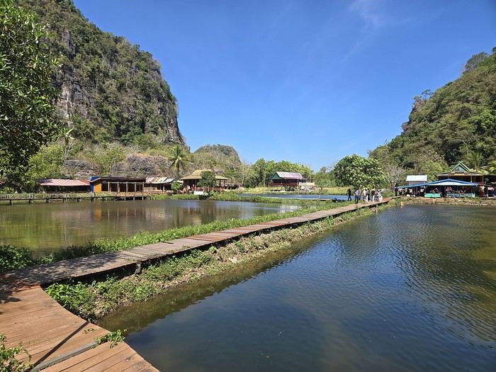
 The karst site:
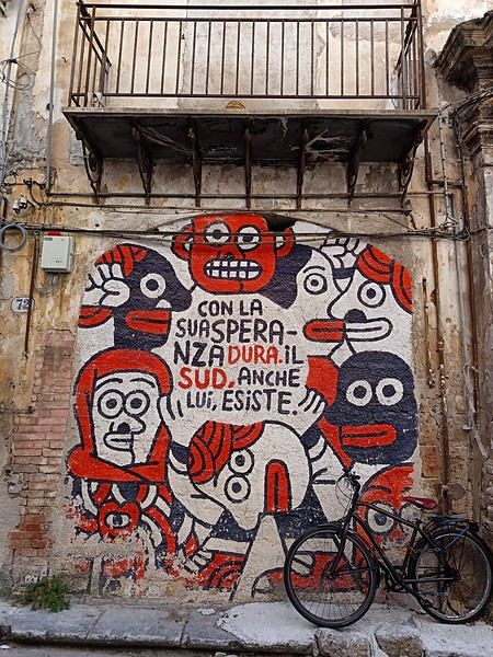 (In the heart of Albergheria, on a street every visitor walks down—lovely message from an unidentified artist)